Trails in Germany
36,852 hiking trails, each with its route, climb, walking time and grade.
All trails, page 411 of 768
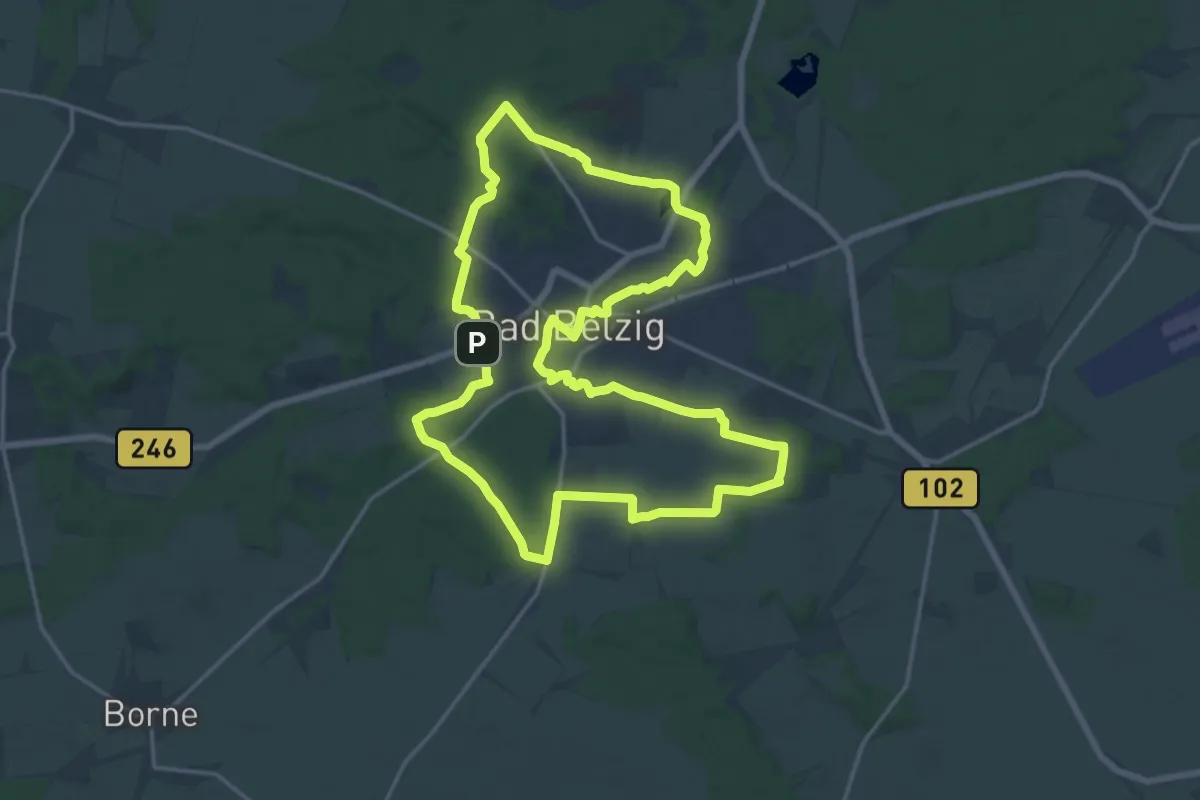
Medium · Trail
Panoramaweg
15.2 km · ↑ 156 m · 4 h 9 min
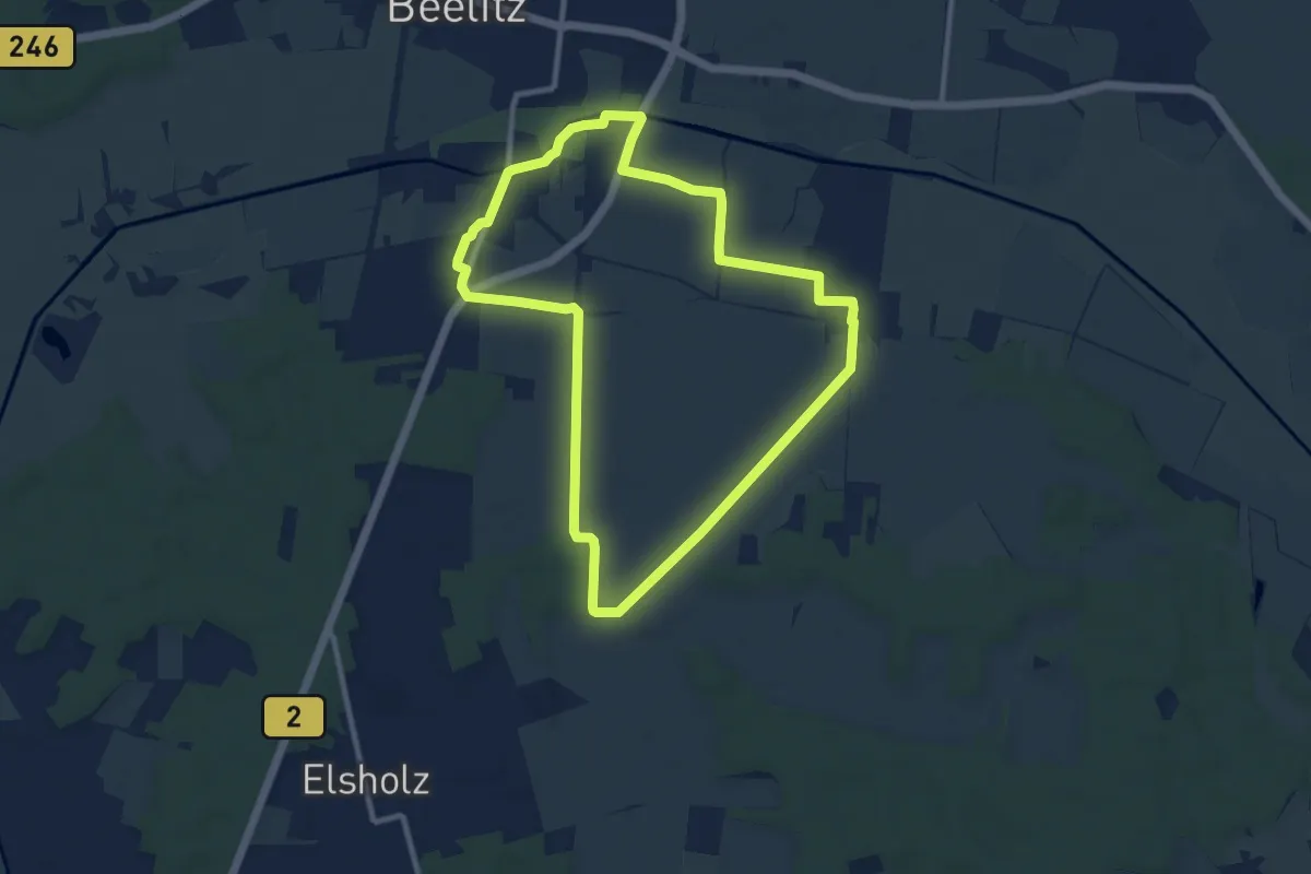
Medium · Trail
Panoramaweg
8.4 km · ↑ 13 m · 2 h 8 min
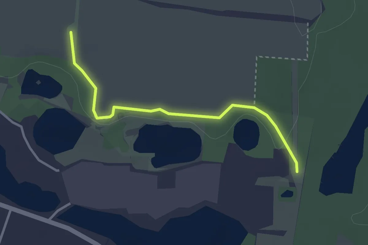
Easy · Summit
Panoramaweg
2.4 km · ↑ 39 m · 39 min
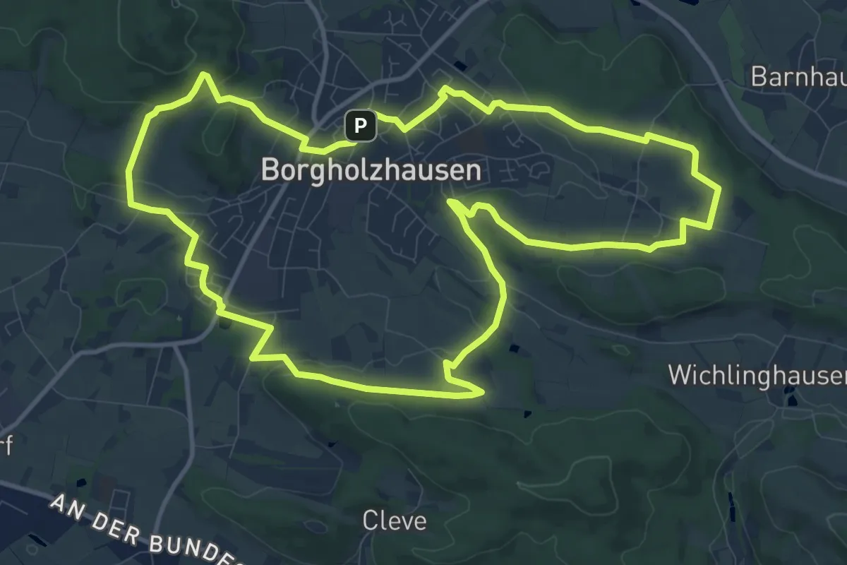
Medium · Trail
Panoramaweg
10.7 km · ↑ 189 m · 3 h 6 min
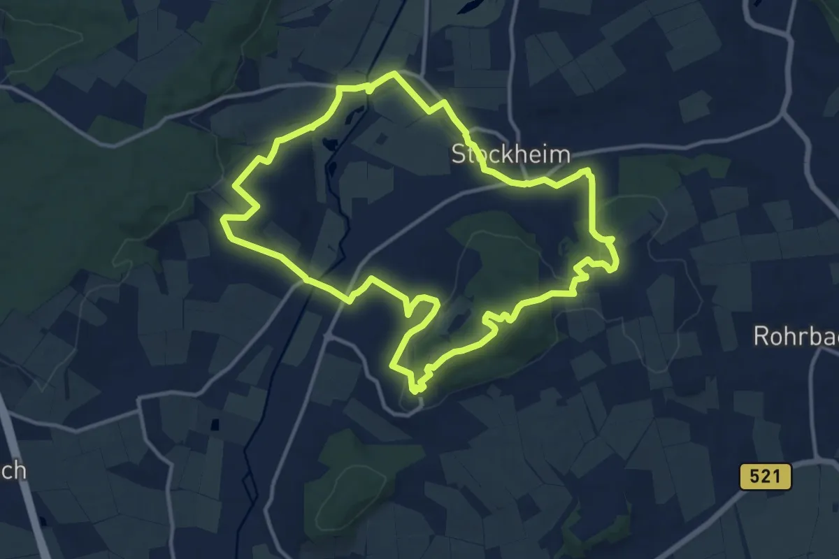
Medium · Summit
Panorama Weg
11.3 km · ↑ 241 m · 3 h 21 min
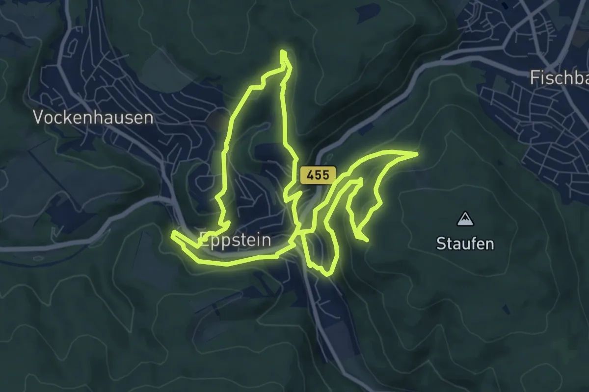
Medium · Trail
Panorama-Weg
8.6 km · ↑ 341 m · 2 h 54 min
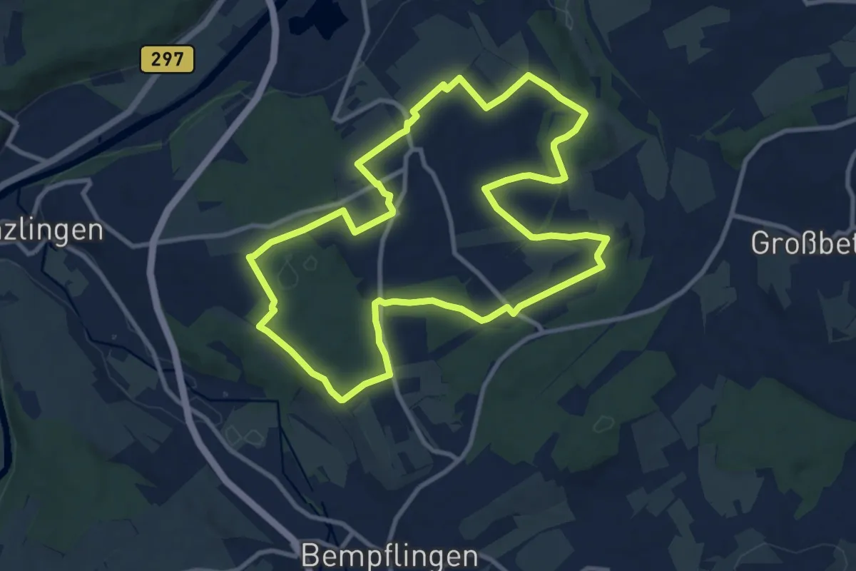
Medium · Trail
Panoramaweg Altdorf
9.4 km · ↑ 120 m · 2 h 37 min
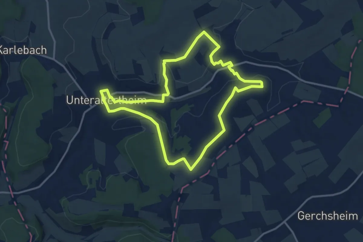
Medium · Trail
Panoramaweg Altertheim
8.9 km · ↑ 146 m · 2 h 32 min
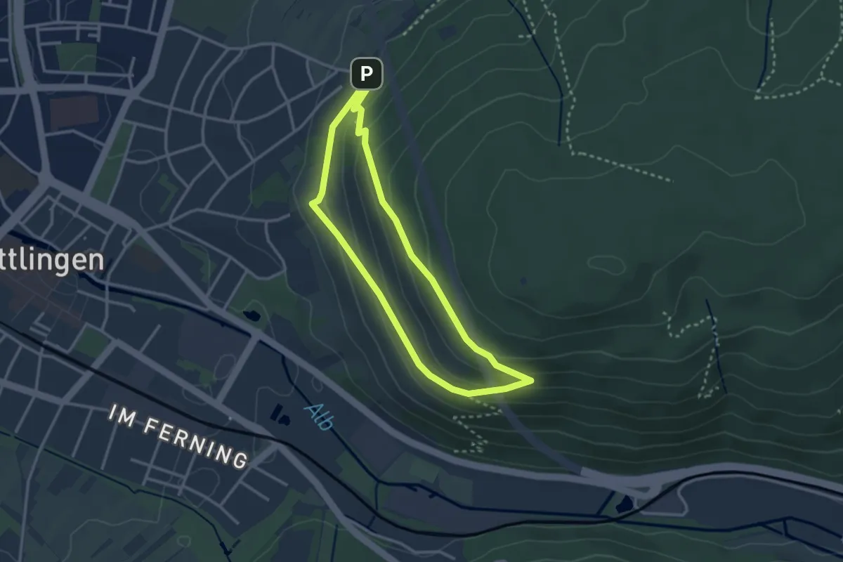
Easy · Trail
Panoramaweg am Wattkopf
2.6 km · ↑ 115 m · 53 min
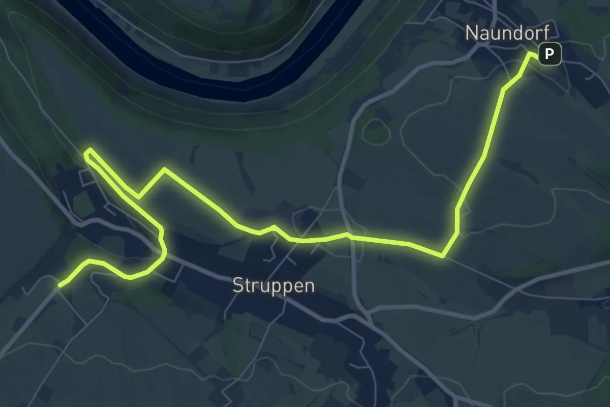
Medium · Trail
Panoramaweg (Anschluss)
9.8 km · ↑ 121 m · 2 h 34 min
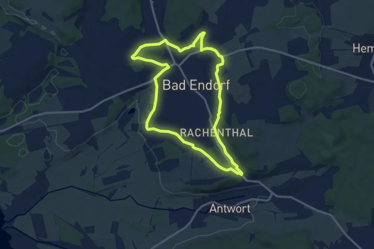
Easy · Trail
Panoramaweg - Bad Endorf
7.0 km · ↑ 95 m · 1 h 57 min
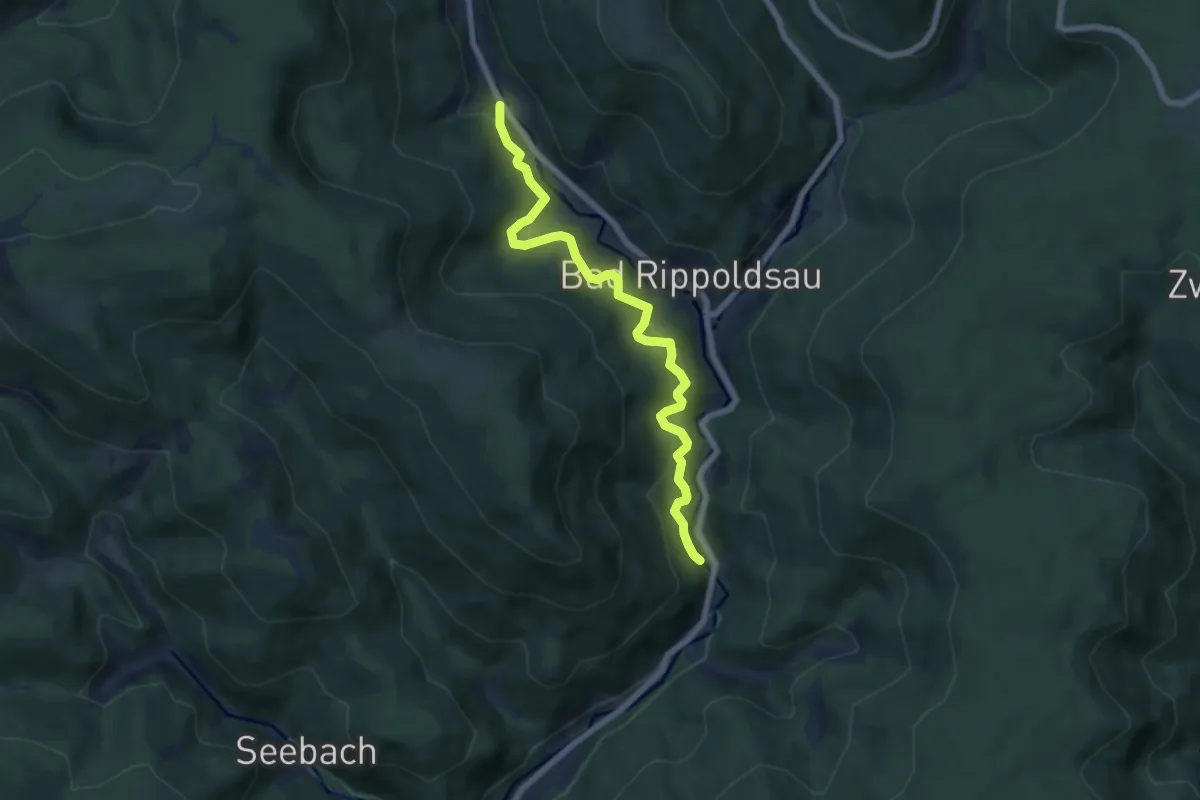
Medium · Trail
Panoramaweg Bad Rippoldsau
6.6 km · ↑ 509 m · 2 h 39 min
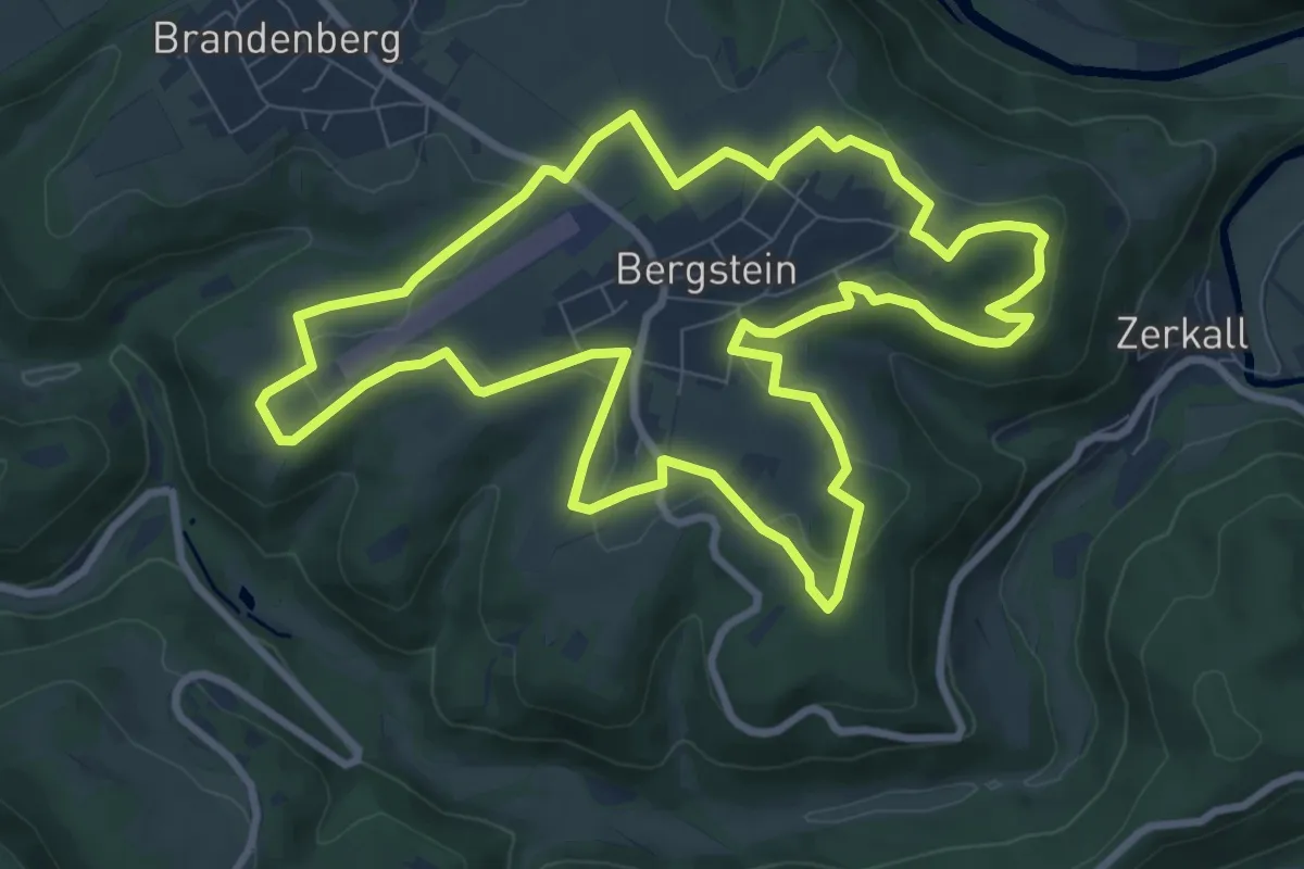
Medium · Summit
Panoramaweg Bergstein
8.9 km · ↑ 132 m · 2 h 31 min
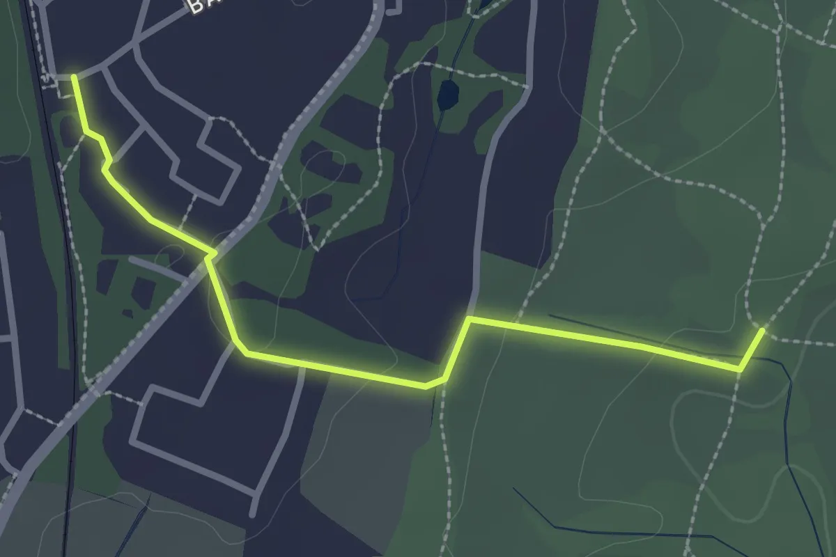
Easy · Trail
Panoramaweg Bernried (36)
2.5 km · ↑ 38 m · 40 min
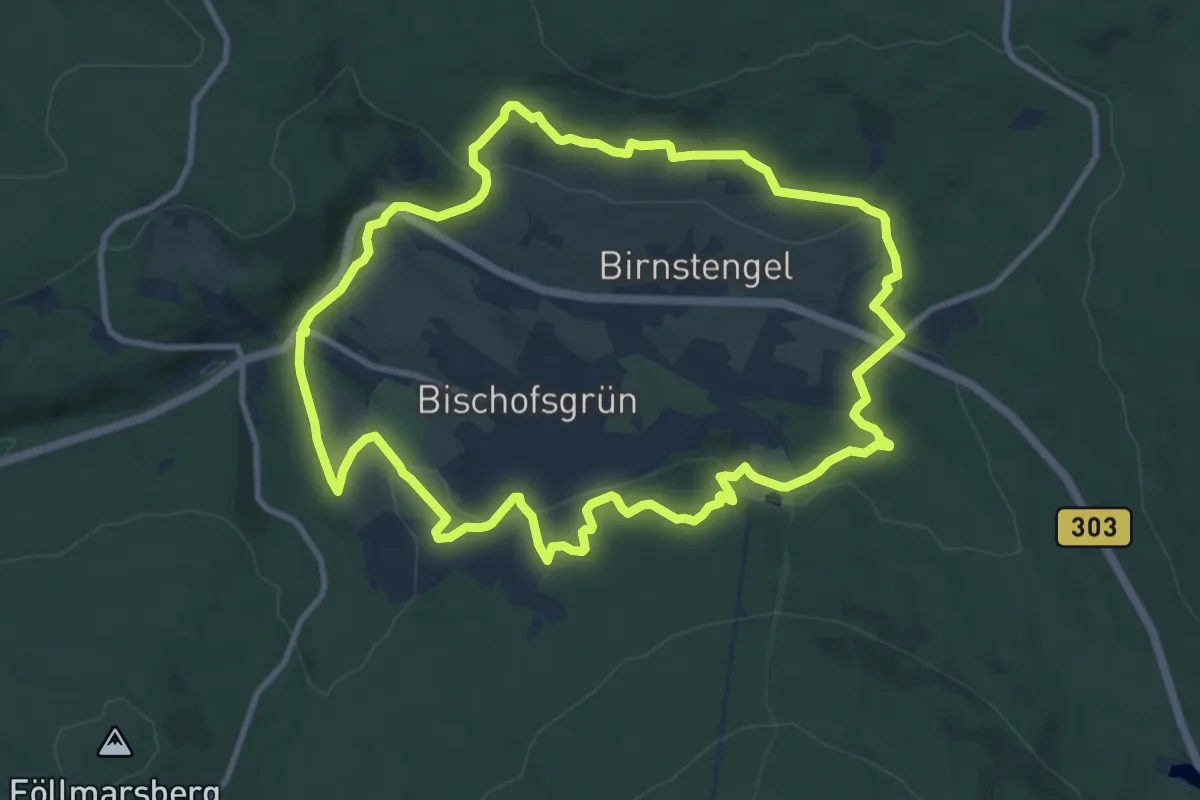
Medium · Summit
Panoramaweg Bischofsgrün
10.1 km · ↑ 278 m · 3 h 7 min
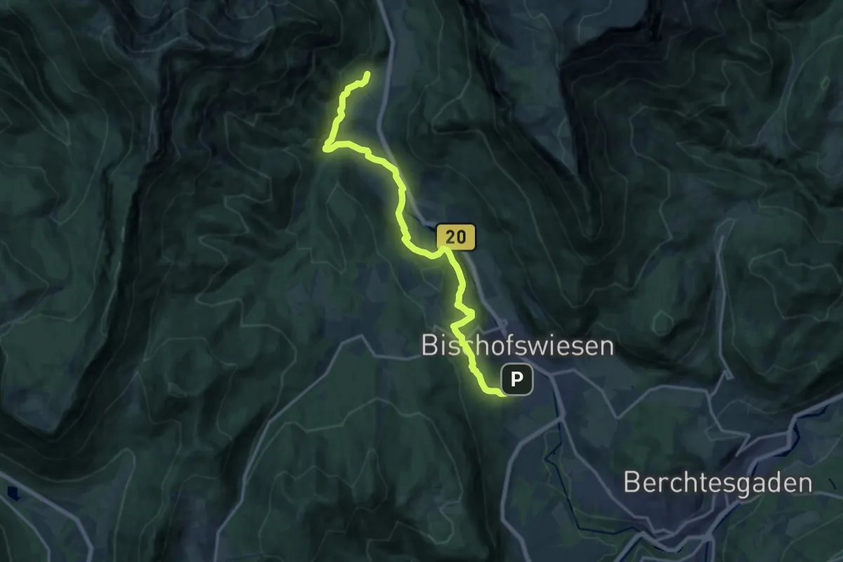
Medium · Trail
Panoramaweg Bischofswiesen
15.4 km · ↑ 591 m · 4 h 55 min
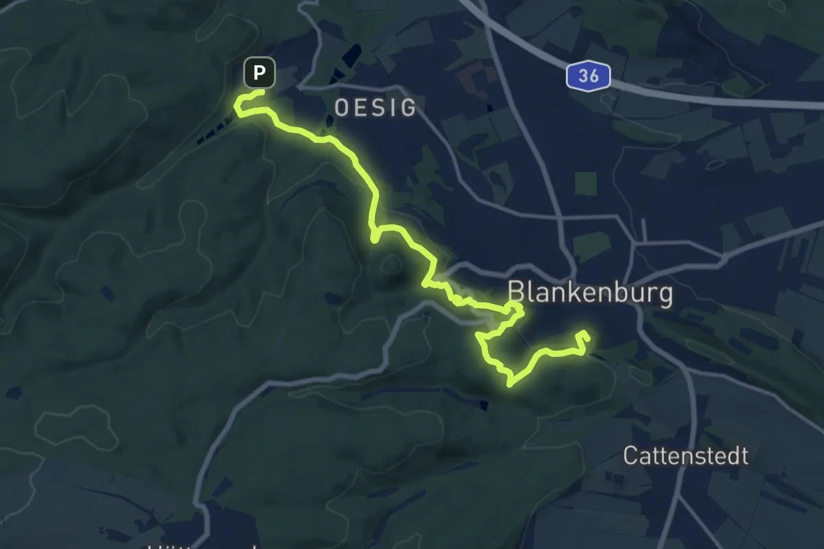
Medium · Summit
Panoramaweg Blankenburg Michaelstein
13.6 km · ↑ 448 m · 4 h 11 min
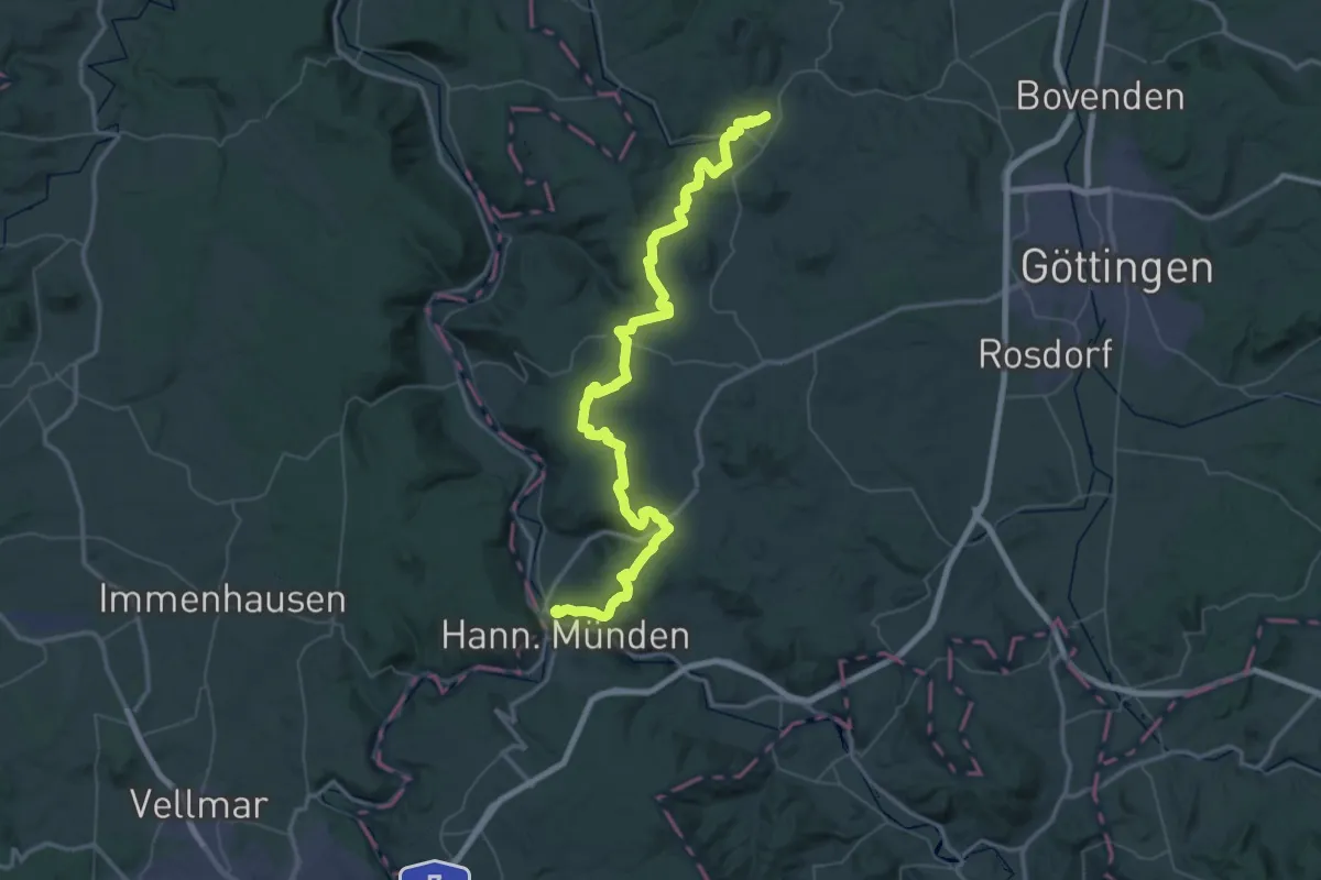
Demanding · Summit
Panoramaweg - Bramwald
64.3 km · ↑ 1247 m · 17 h 53 min
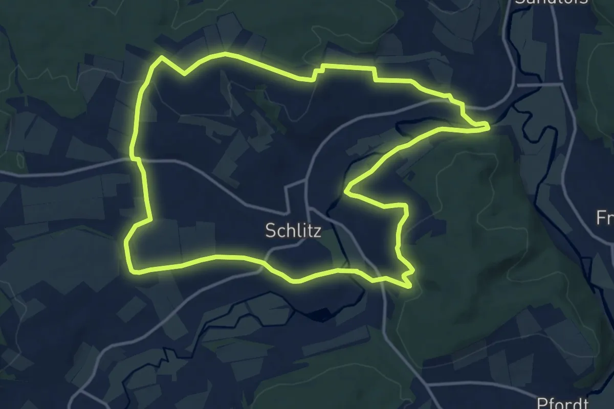
Medium · Summit
Panoramaweg - Burgenstadt Schlitz
12.4 km · ↑ 209 m · 3 h 34 min
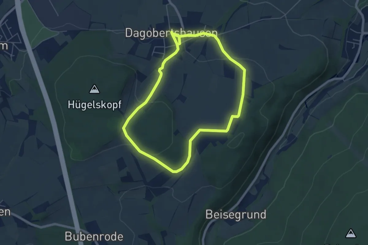
Easy · Trail
Panoramaweg Dagobertshausen DA 1
4.7 km · ↑ 97 m · 1 h 23 min
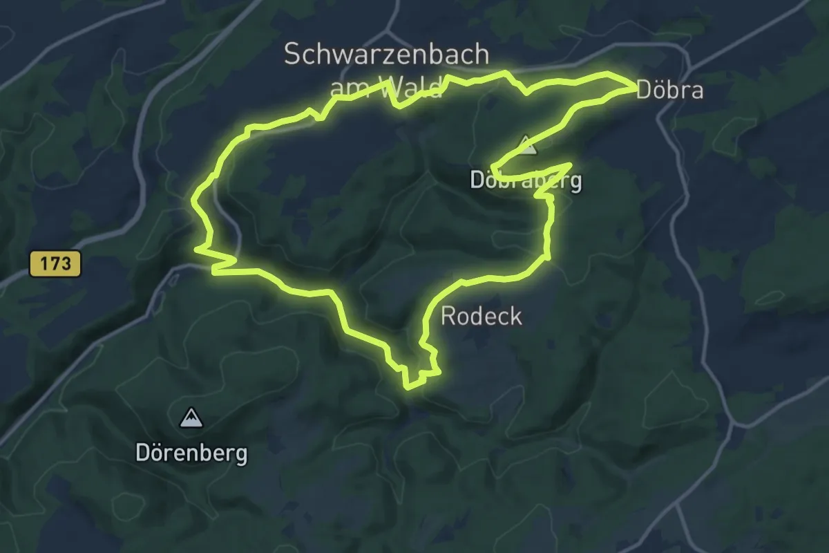
Medium · Summit
Panorama-Weg DÖ 37
12.9 km · ↑ 336 m · 3 h 57 min
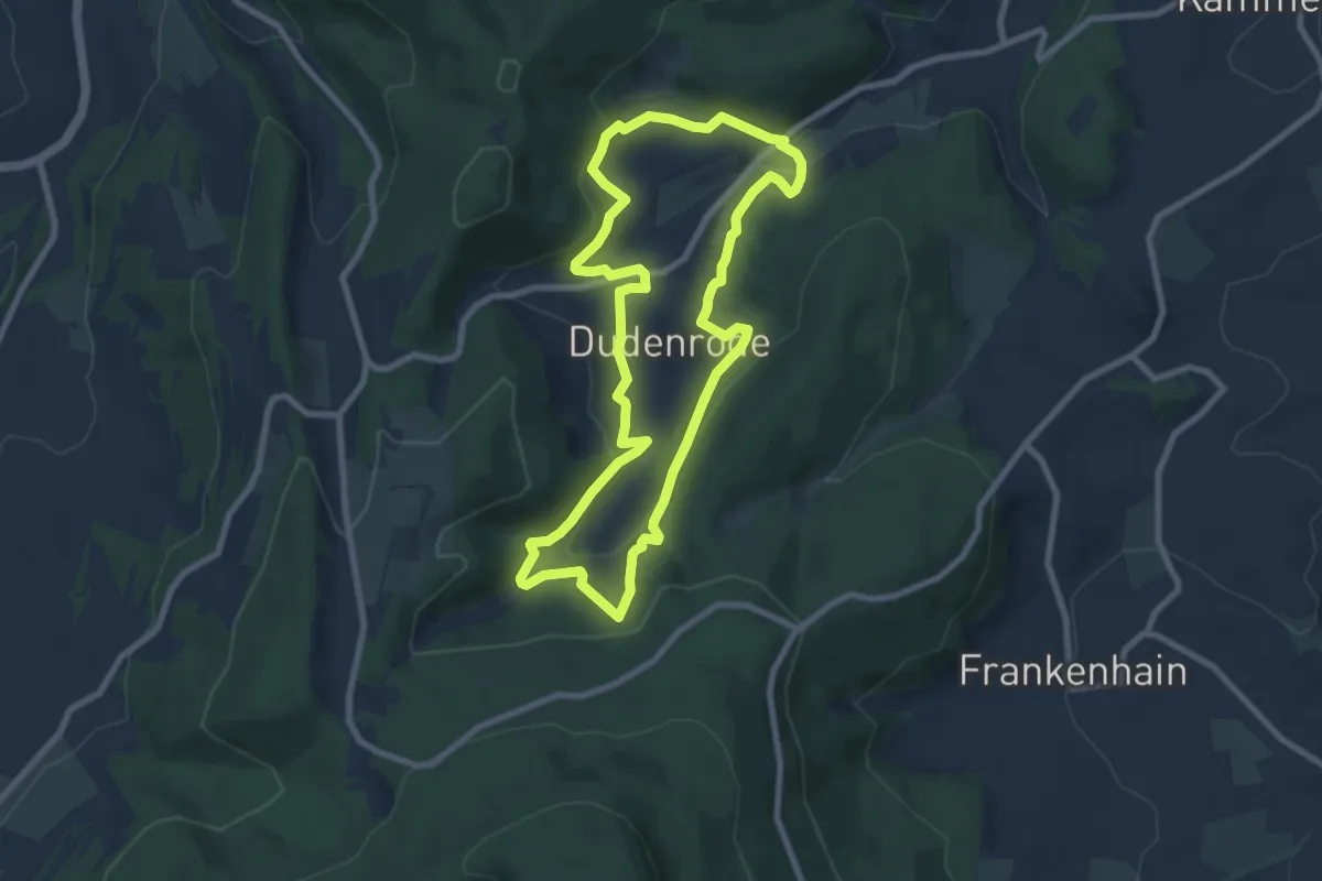
Easy · Trail
Panoramaweg Dudenrode
7.3 km · ↑ 289 m · 2 h 27 min
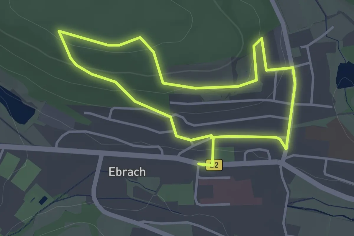
Easy · Trail
Panoramaweg Ebrach E 10
2.8 km · ↑ 90 m · 54 min
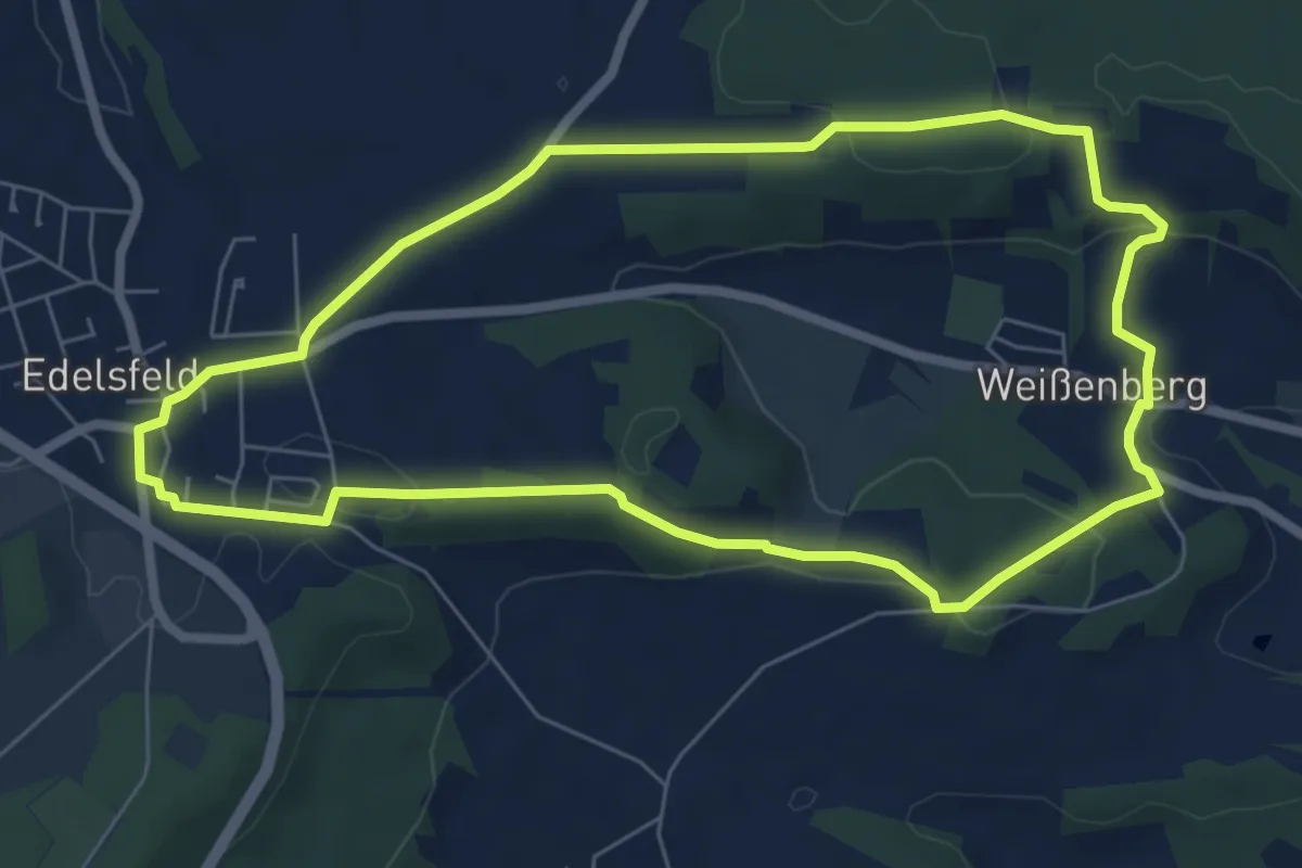
Easy · Trail
Panoramaweg Edelsfeld
6.4 km · ↑ 149 m · 1 h 55 min
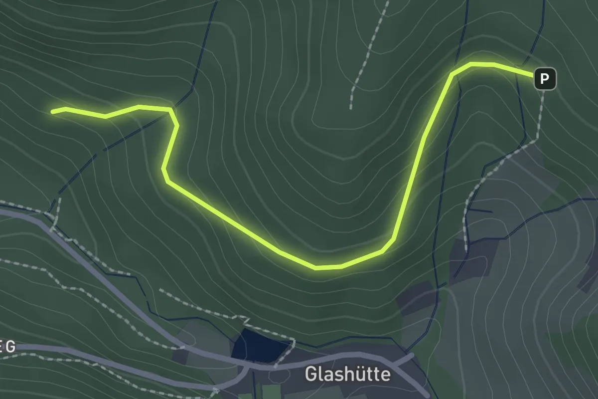
Easy · Trail
Panoramaweg - Eichelsbachweg
2.3 km · ↑ 131 m · 50 min
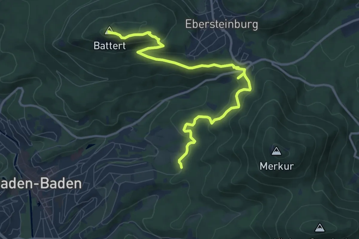
Medium · Summit
Panoramaweg - Etappe 1
9.9 km · ↑ 430 m · 3 h 16 min
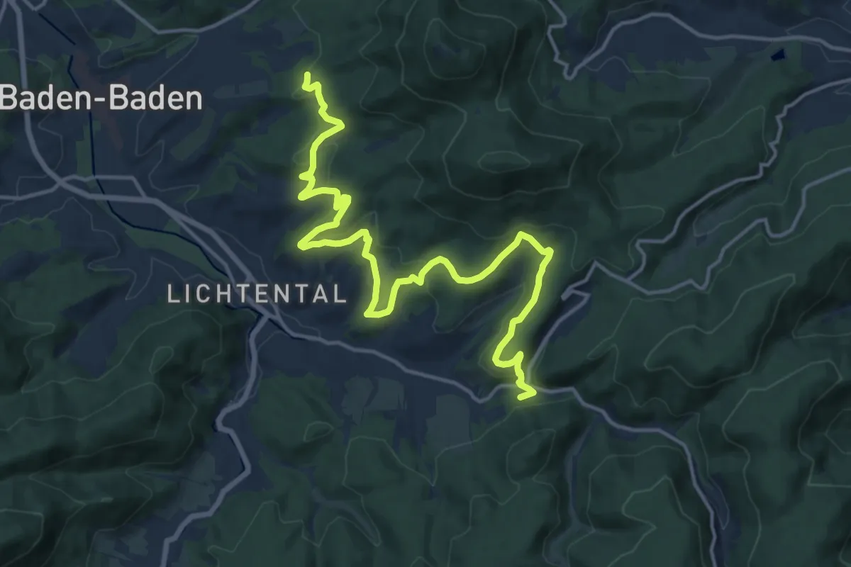
Medium · Trail
Panoramaweg - Etappe 2
16.8 km · ↑ 558 m · 5 h 10 min
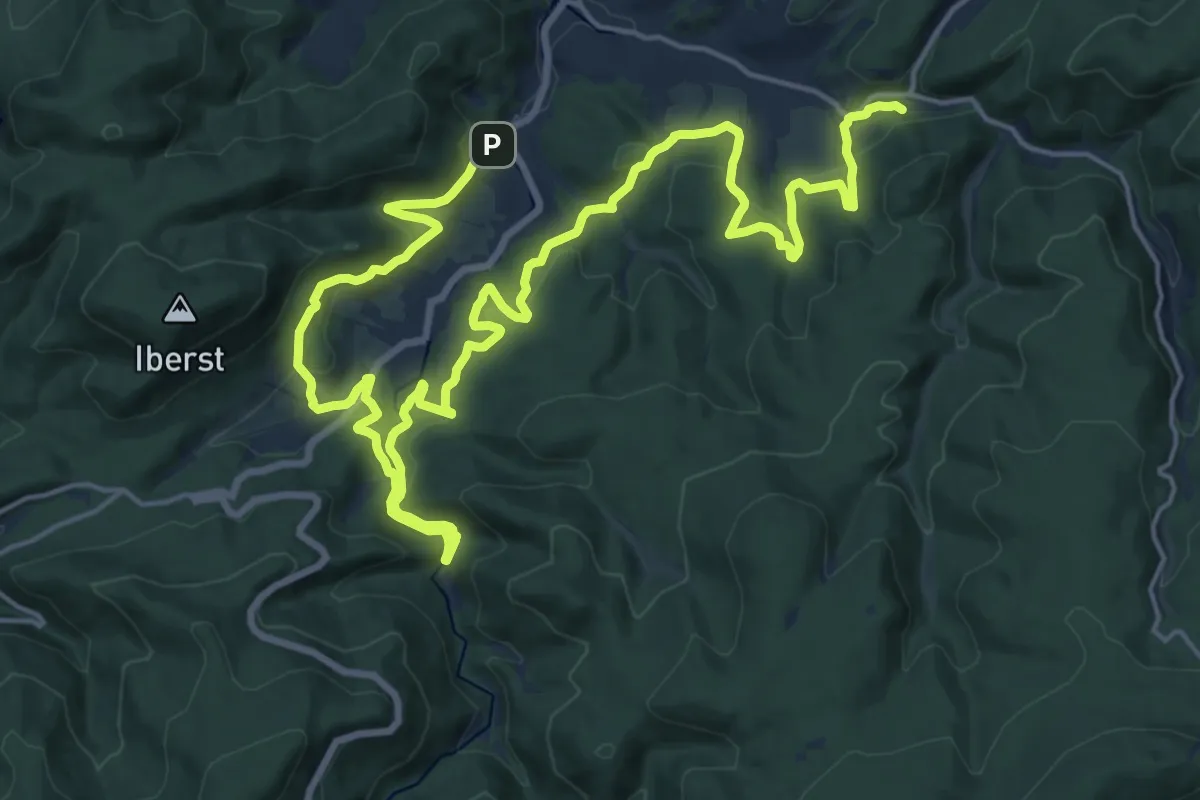
Medium · Trail
Panoramaweg - Etappe 3
14.3 km · ↑ 619 m · 4 h 54 min
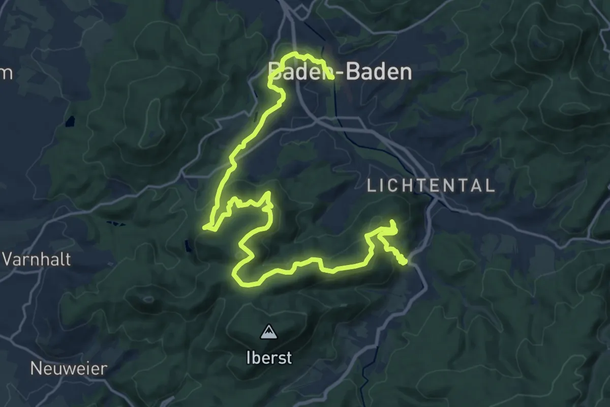
Medium · Trail
Panoramaweg - Etappe 4
12.2 km · ↑ 592 m · 4 h 18 min
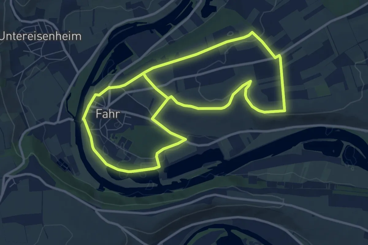
Easy · Summit
Panoramaweg Fahr / D - Obst-Wein-Main
8.0 km · ↑ 79 m · 2 h 10 min
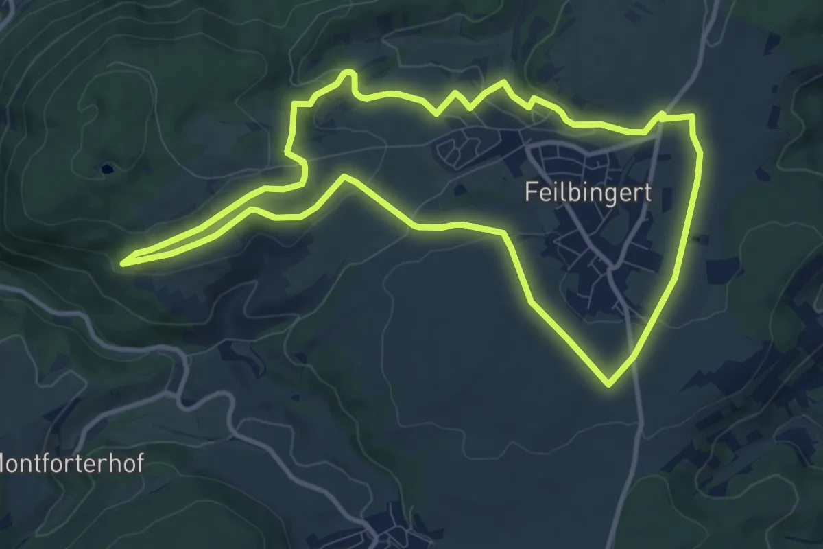
Medium · Trail
Panoramaweg Feilbingert
9.5 km · ↑ 162 m · 2 h 43 min
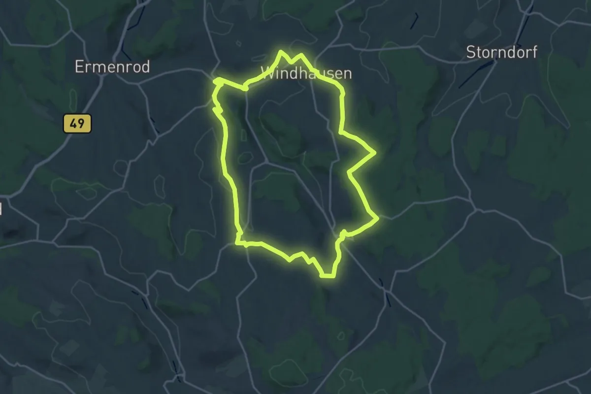
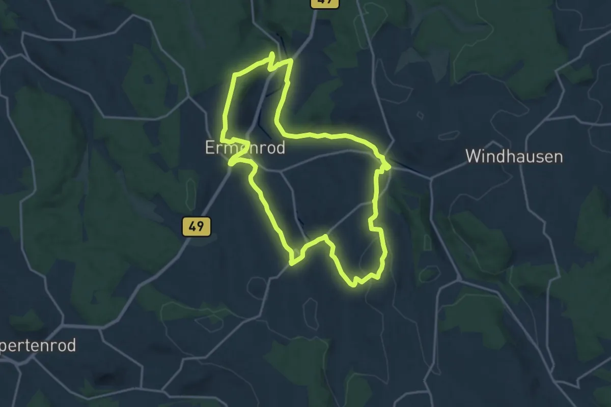
Medium · Trail
Panoramaweg Feldatal Tour I
17.1 km · ↑ 261 m · 4 h 50 min
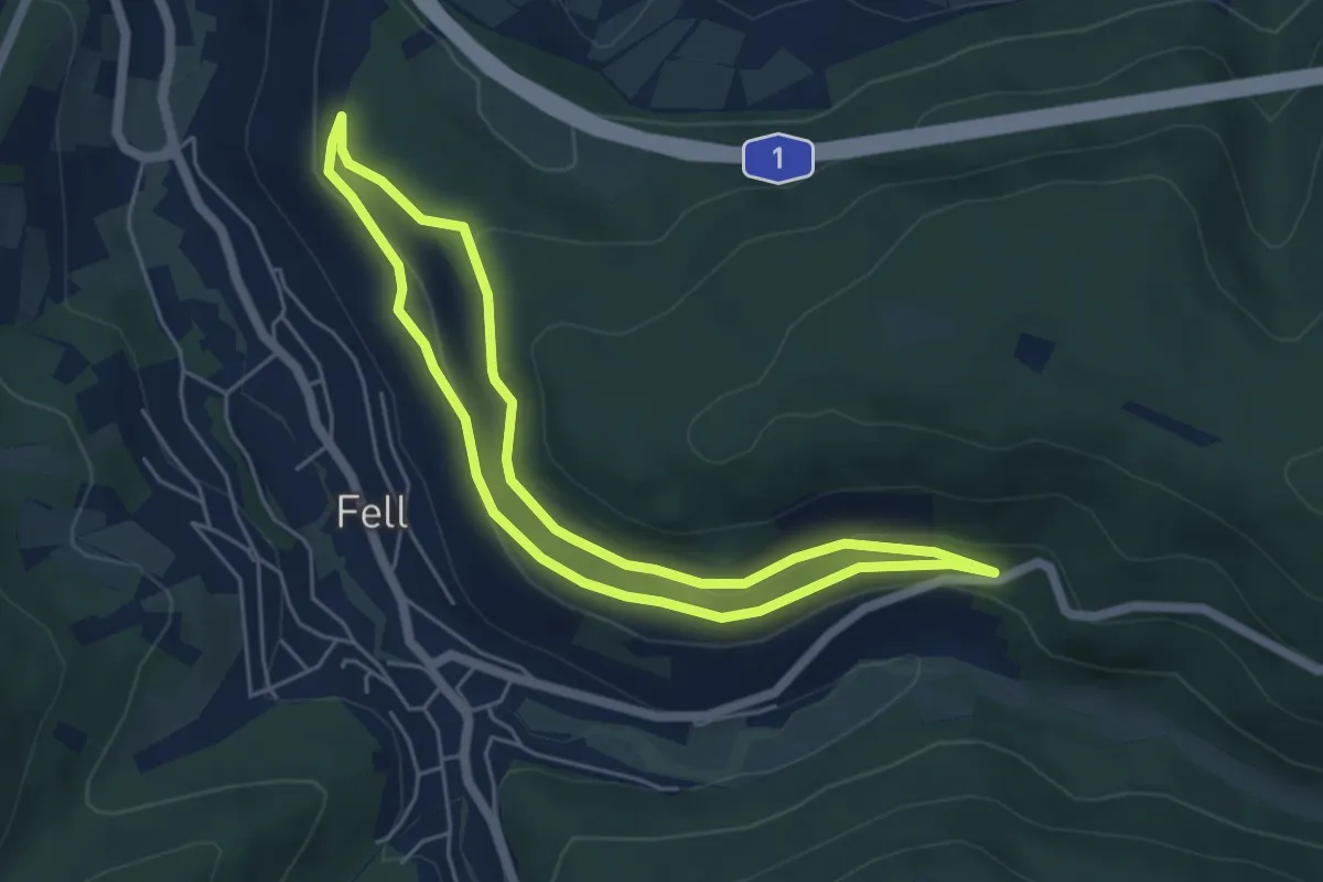
Medium · Trail
Panoramaweg Feldatal Tour II
13.6 km · ↑ 255 m · 3 h 58 min
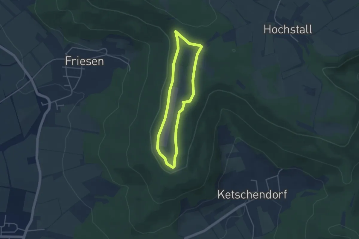
Easy · Summit
Panorama- Weg Fell
4.6 km · ↑ 114 m · 1 h 24 min
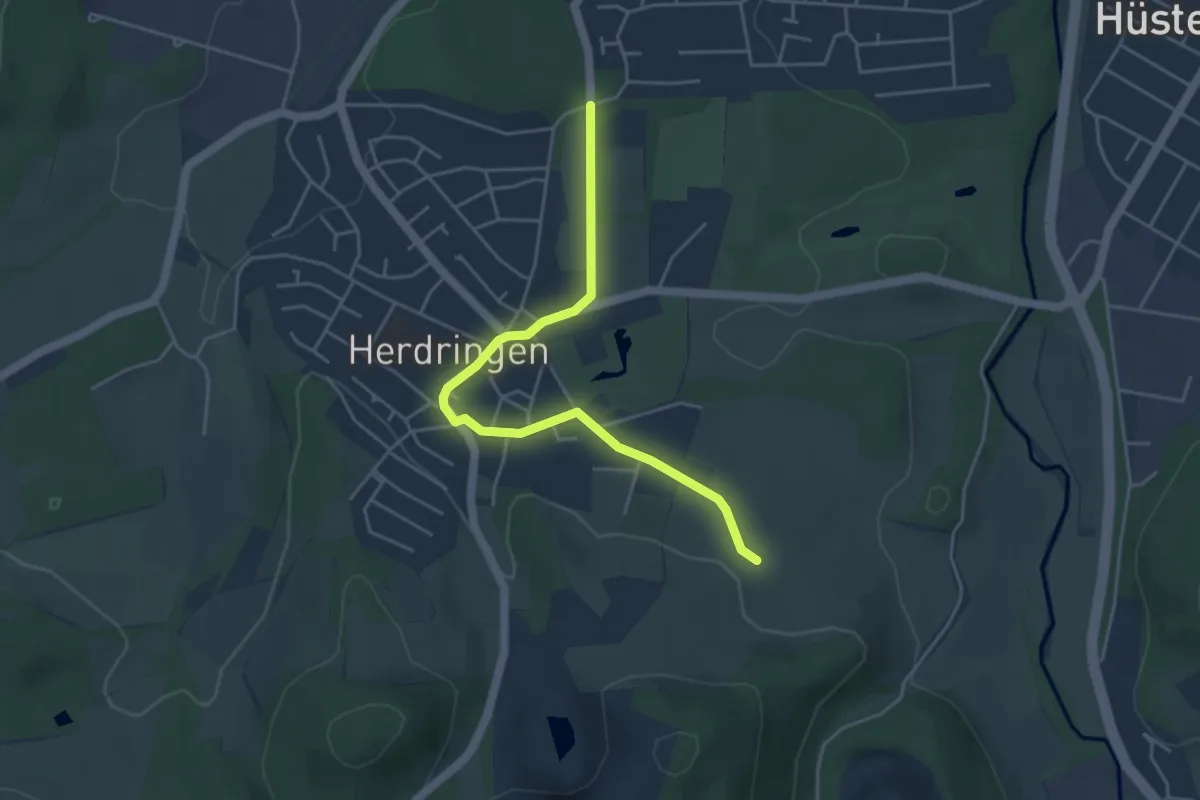
Easy · Trail
Panoramaweg Friesener Warte
2.8 km · ↑ 37 m · 47 min
Easy · Trail
Panorama-Weg Gelb
4.1 km · ↑ 52 m · 1 h 5 min
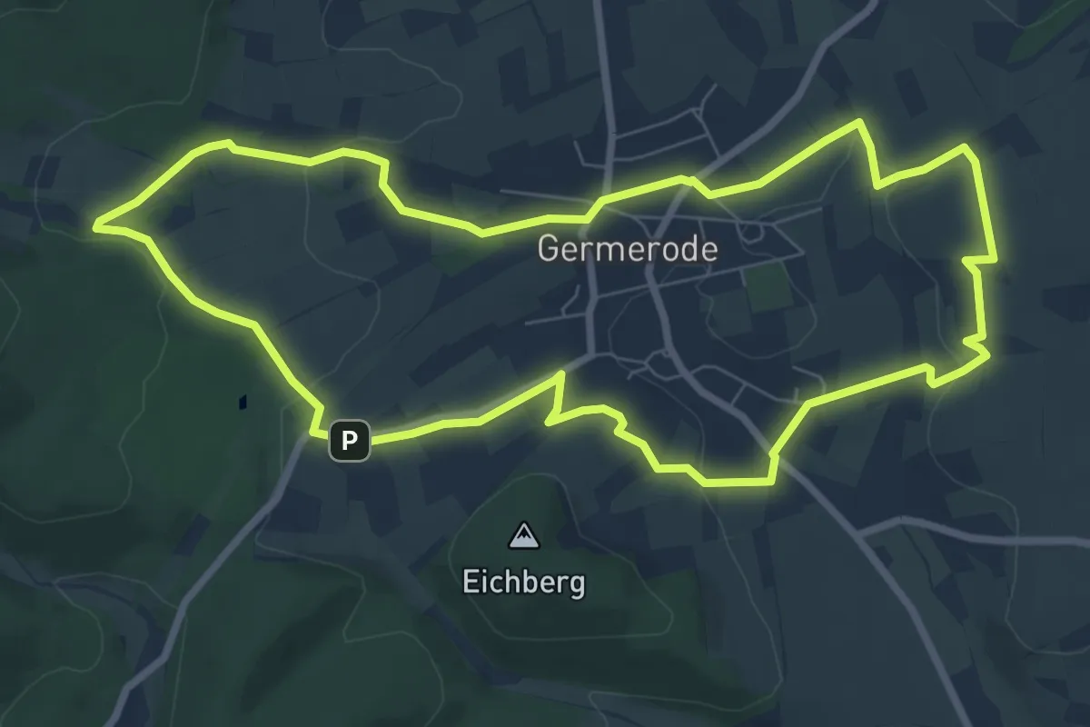
Easy · Trail
Panoramaweg Germerode
7.5 km · ↑ 144 m · 2 h 11 min
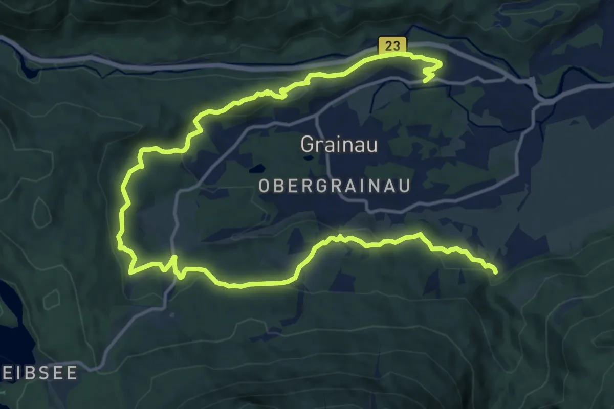
Demanding · Trail
Panoramaweg Grainau
18.3 km · ↑ 589 m · 5 h 36 min
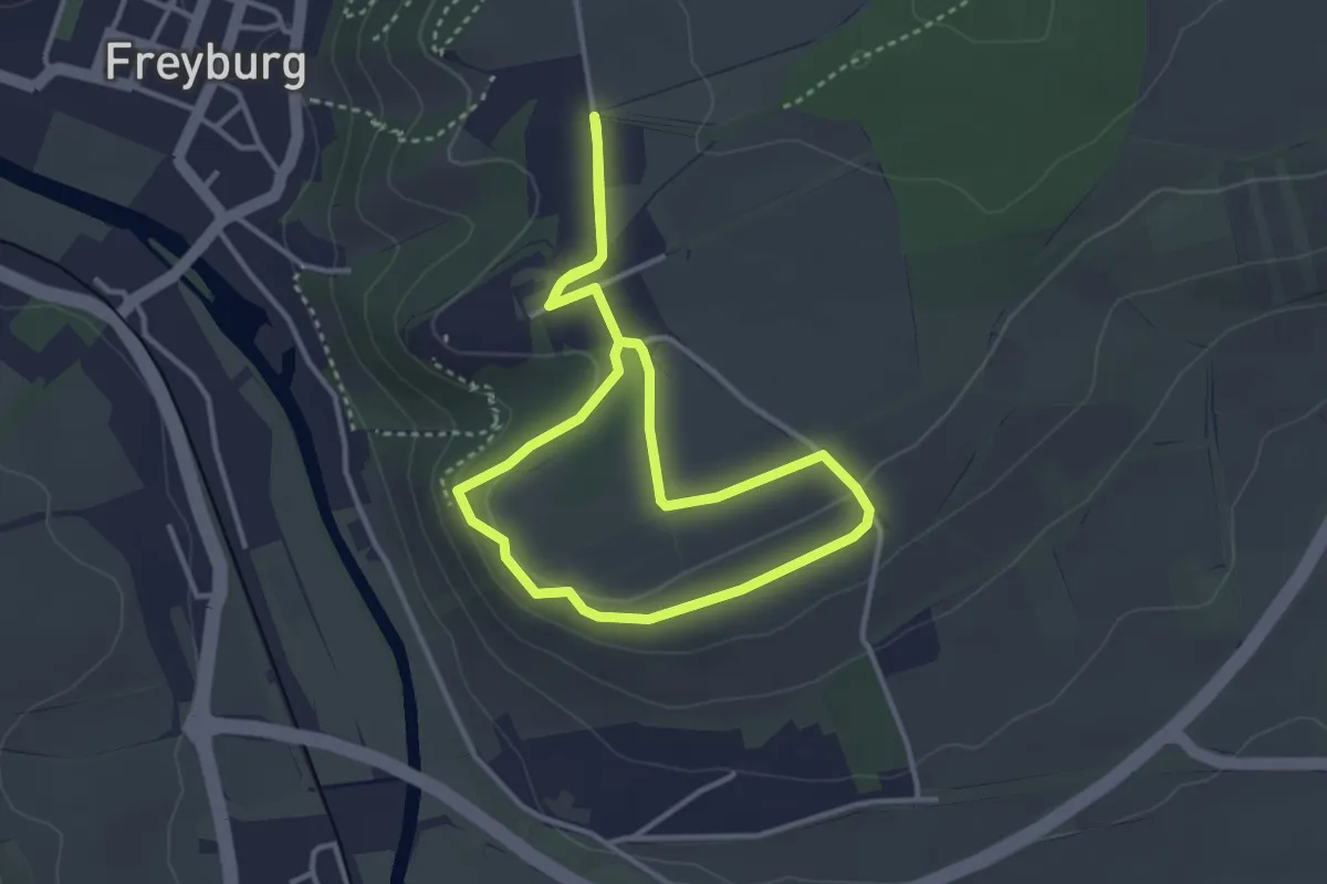
Easy · Trail
Panoramaweg Haineberg
3.0 km · ↑ 46 m · 51 min
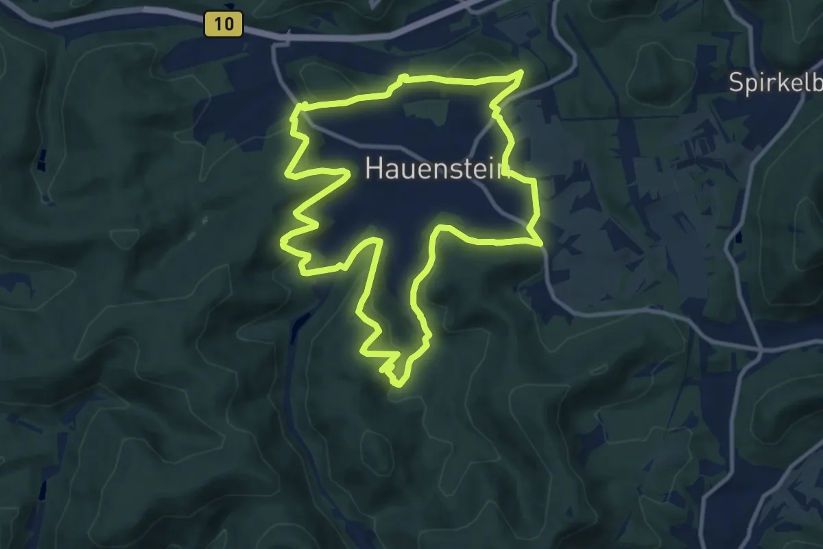
Medium · Summit
Panoramaweg Hauenstein
9.9 km · ↑ 490 m · 3 h 32 min
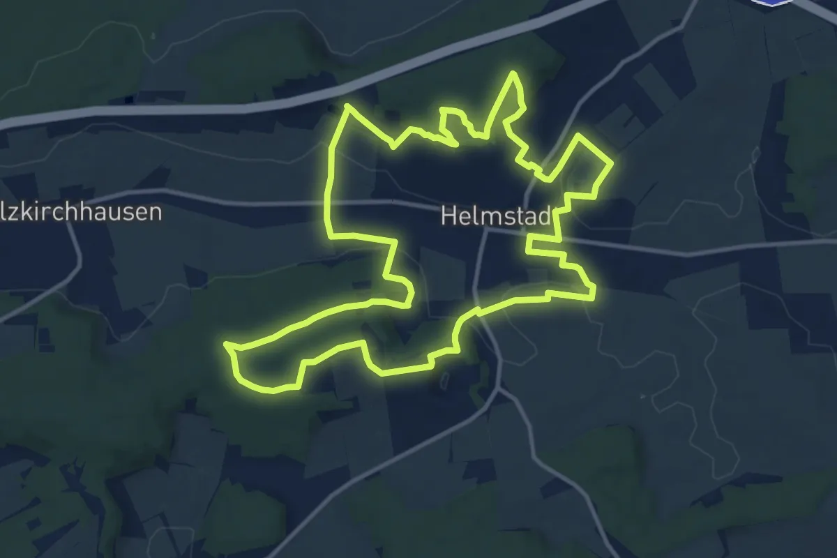
Medium · Summit
Panoramaweg Helmstadt
12.1 km · ↑ 297 m · 3 h 40 min
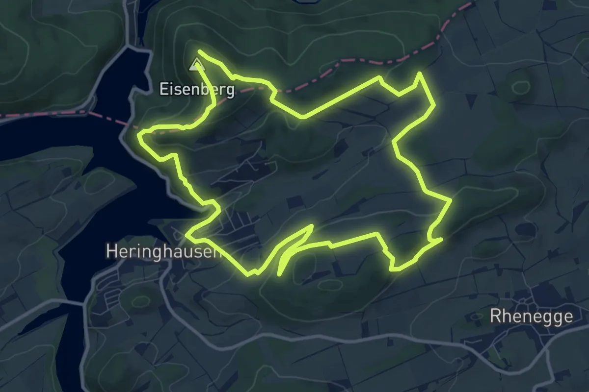
Demanding · Trail
Panoramaweg Heringhausen
9.7 km · ↑ 335 m · 3 h 9 min
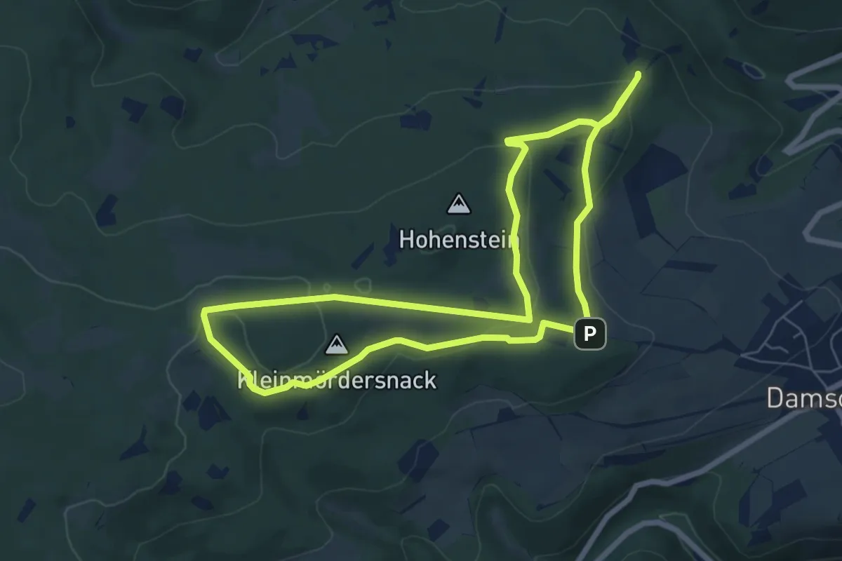
Easy · Summit
Panoramaweg Hohenstein
6.2 km · ↑ 146 m · 1 h 52 min
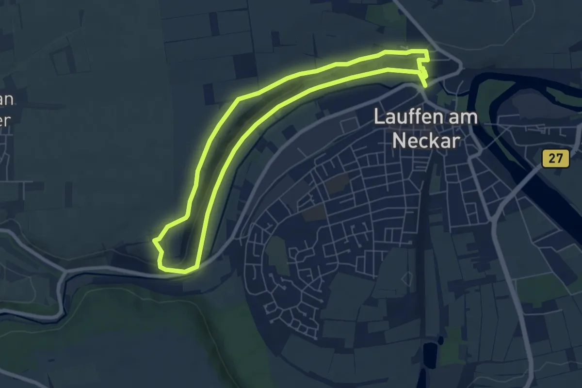
Easy · Trail
Panoramaweg Hölderlin und Wein (RWW1)
6.0 km · ↑ 86 m · 1 h 41 min
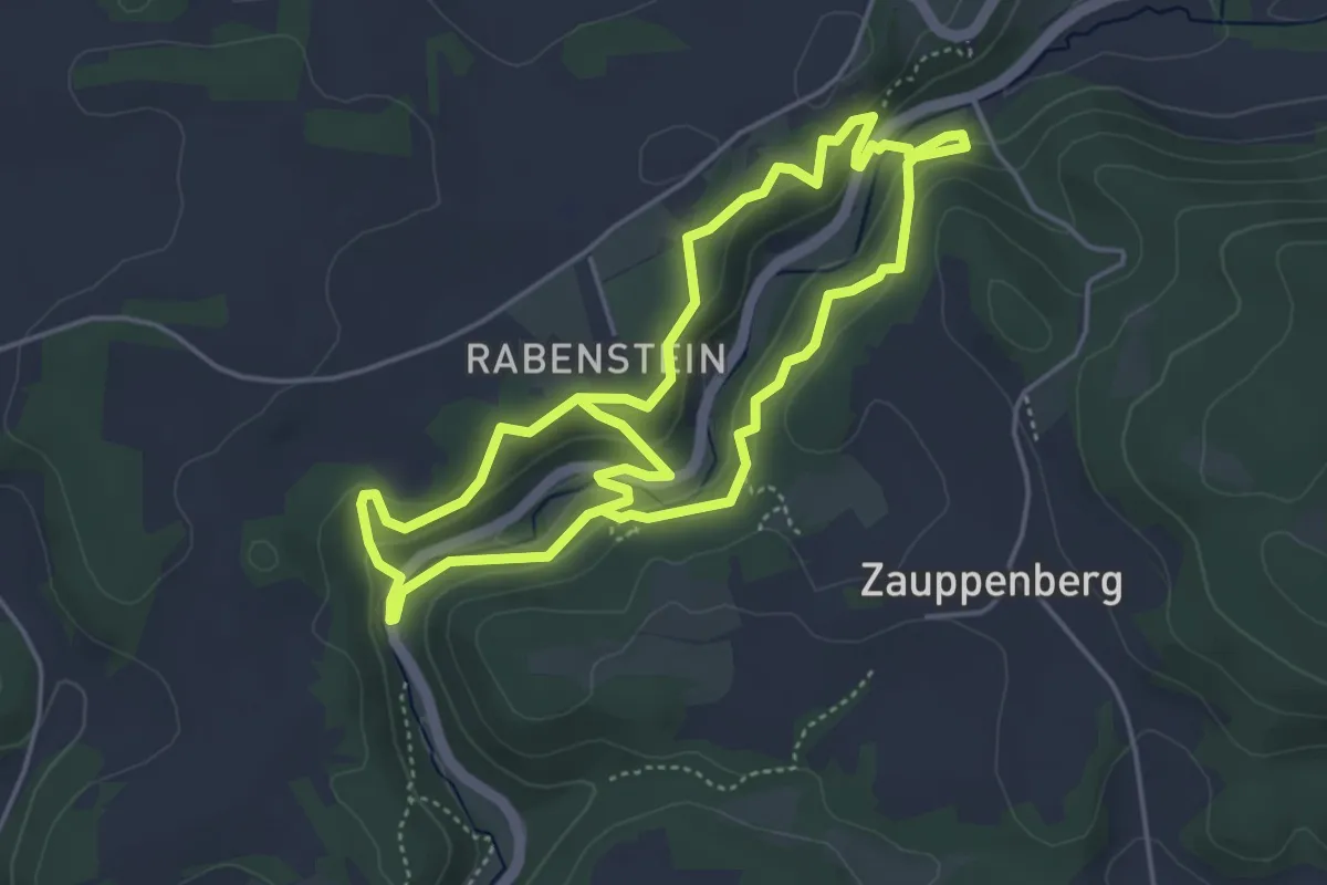
Easy · Trail
Panoramaweg im Ailsbachtal
4.2 km · ↑ 138 m · 1 h 22 min
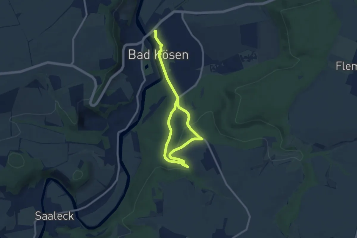
Medium · Trail
Panoramaweg Katzenberg
8.4 km · ↑ 226 m · 2 h 29 min
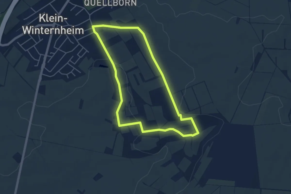
Easy · Trail
Panoramaweg Klein-Winternheim
3.8 km · ↑ 64 m · 1 h 5 min
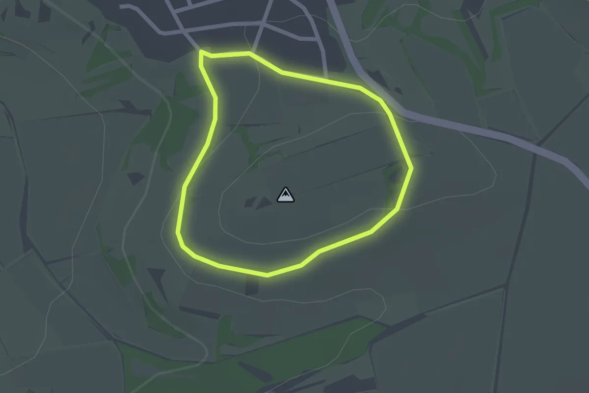
Easy · Trail
Panoramaweg Königsberg
1.6 km · ↑ 35 m · 29 min