Trails in Germany
36,852 hiking trails, each with its route, climb, walking time and grade.
All trails, page 413 of 768
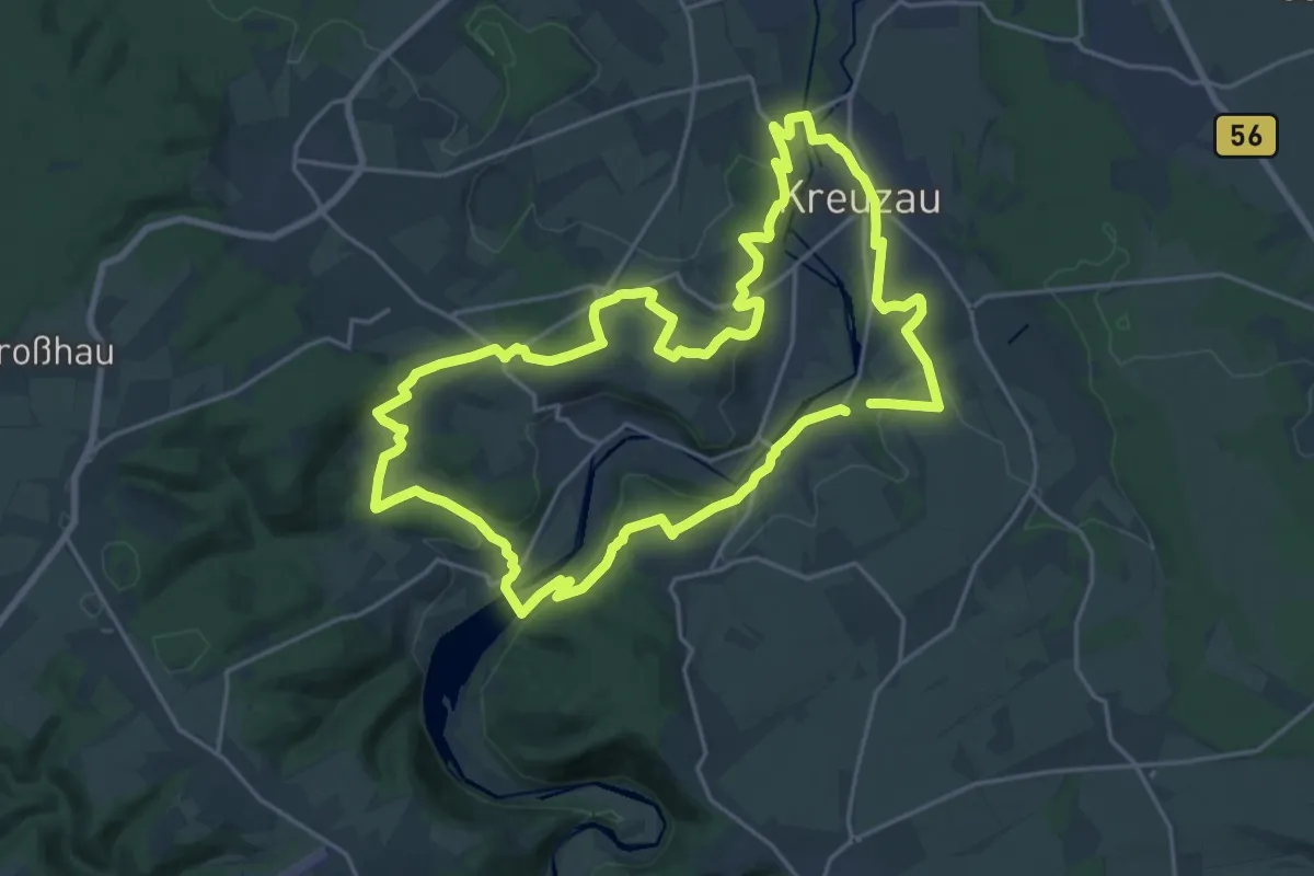
Demanding · Summit
Panoramaweg West
19.2 km · ↑ 369 m · 5 h 35 min
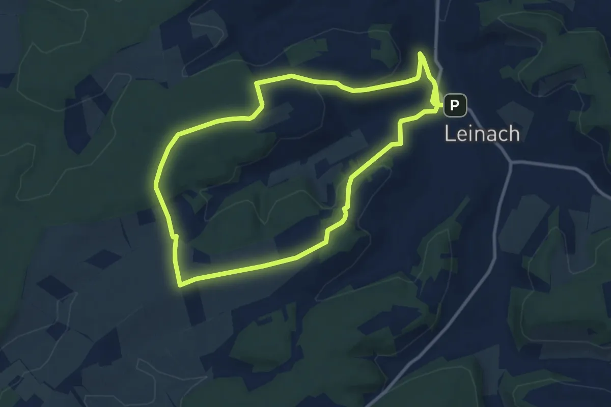
Medium · Summit
Panoramaweg-West
8.1 km · ↑ 176 m · 2 h 25 min
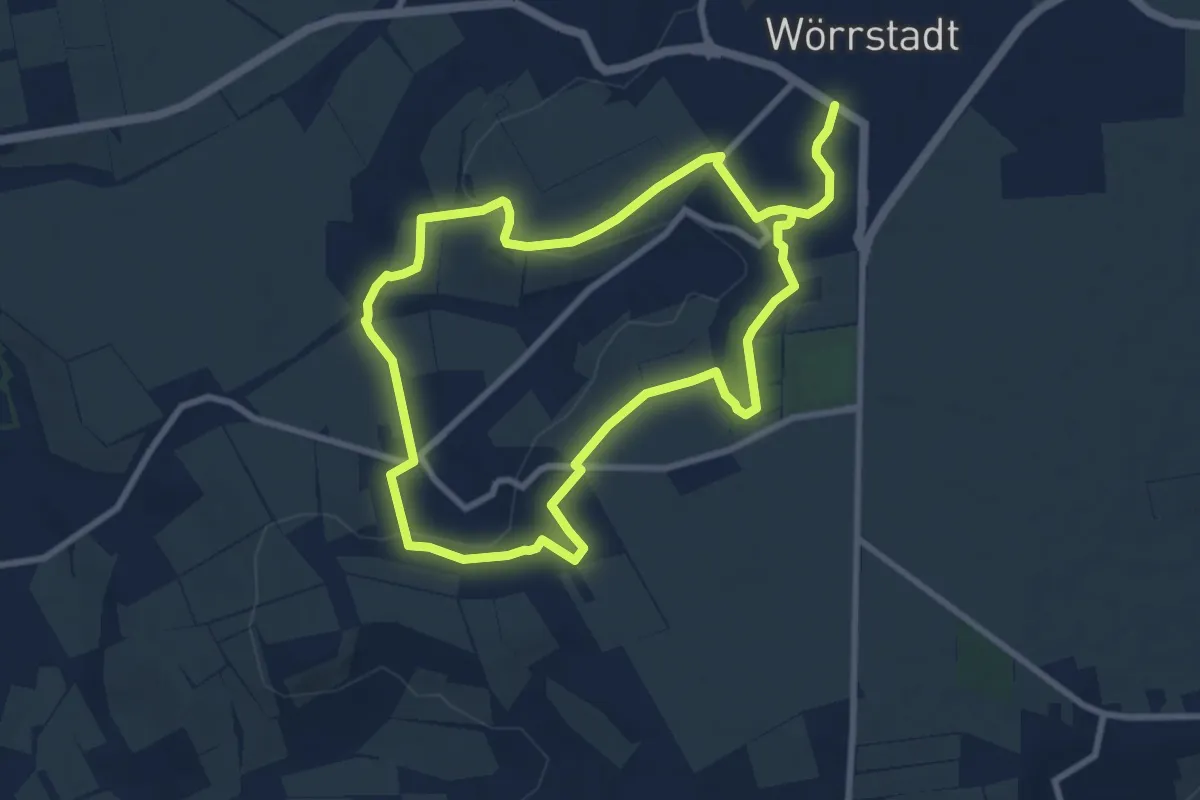
Easy · Trail
Panoramaweg Wörrstadt-Rommersheim
7.7 km · ↑ 144 m · 2 h 13 min
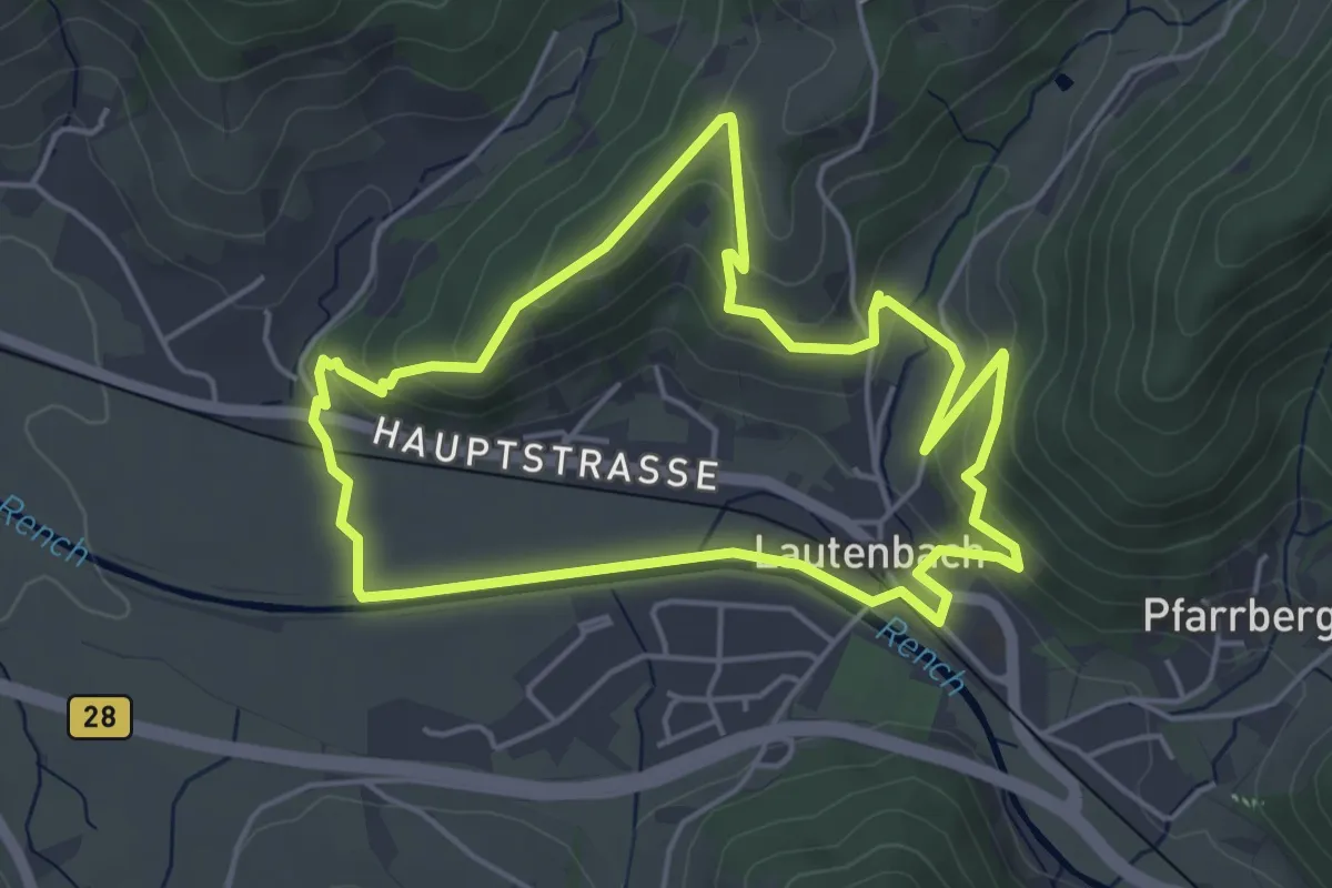
Easy · Trail
Panoranaweg
4.5 km · ↑ 164 m · 1 h 29 min
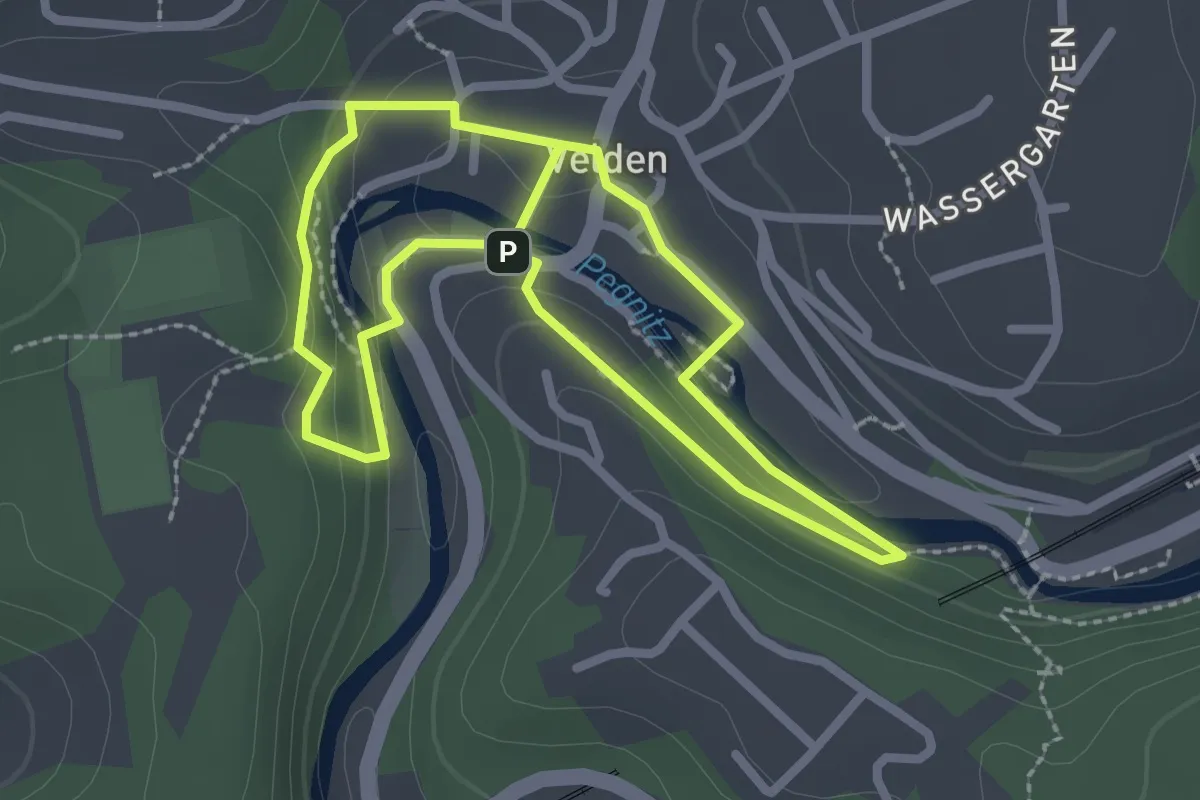
Easy · Trail
Panormanaweg
2.2 km · ↑ 45 m · 38 min
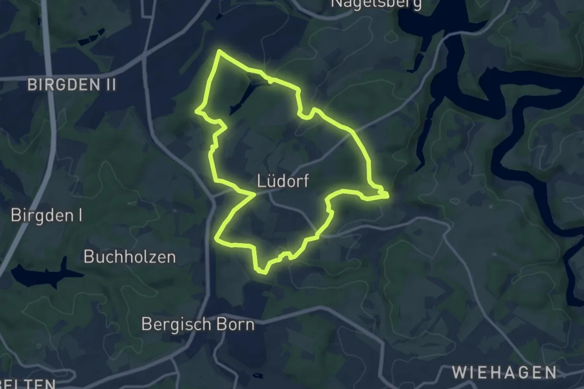
Medium · Trail
Panzertalsperre Rundweg A2
9.6 km · ↑ 159 m · 2 h 44 min
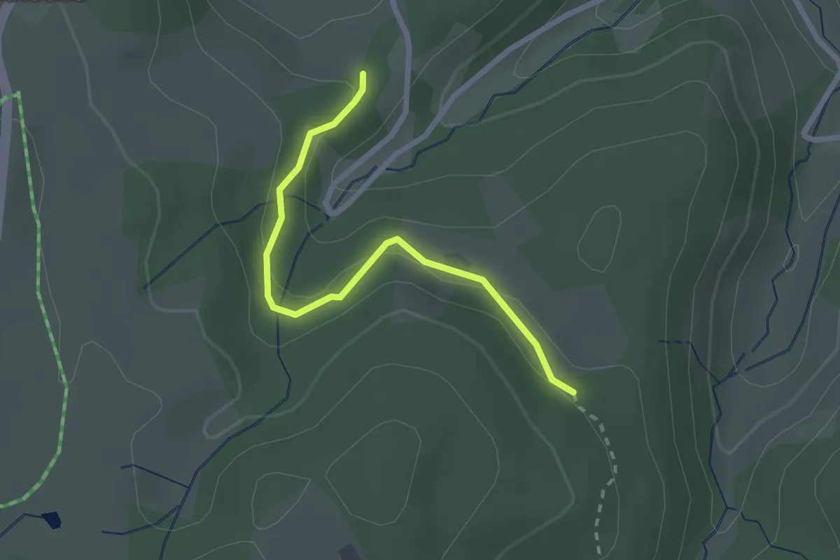
Easy · Trail
Pappelntal - Waldhäusle
2.2 km · ↑ 104 m · 45 min
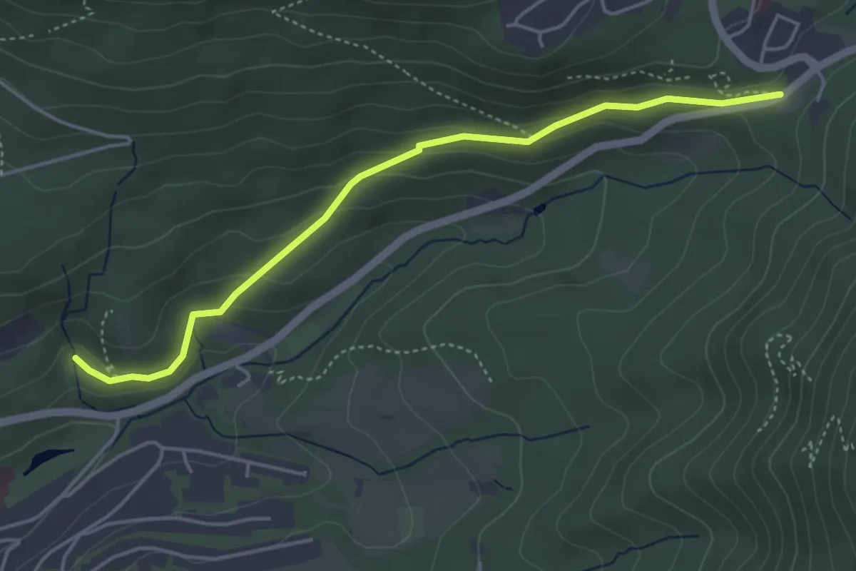
Easy · Trail
Paracelsusweg - Ebersteinburg Parkplatz Wolfsschlucht
4.3 km · ↑ 182 m · 1 h 24 min
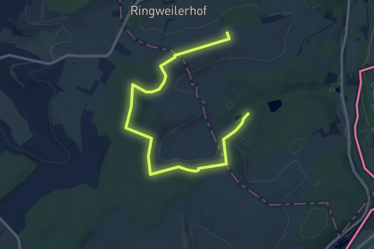
Easy · Trail
Paradiesgartenweg
3.5 km · ↑ 42 m · 59 min
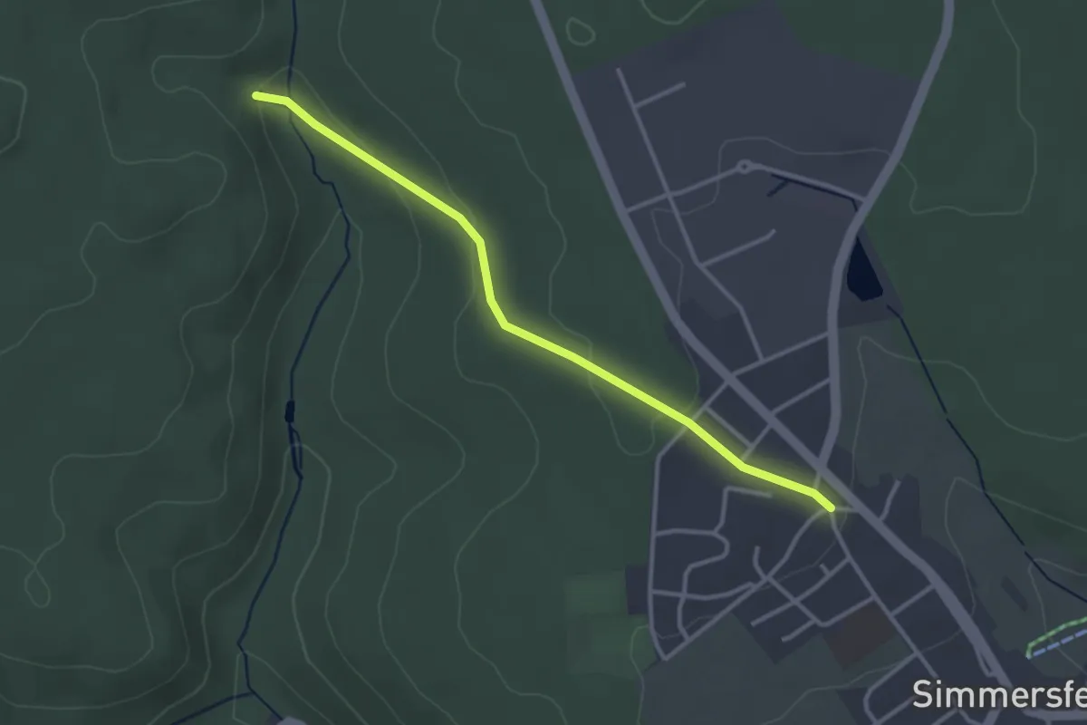
Easy · Trail
Paradies - Simmersfeld Dielstraße
3.0 km · ↑ 80 m · 53 min
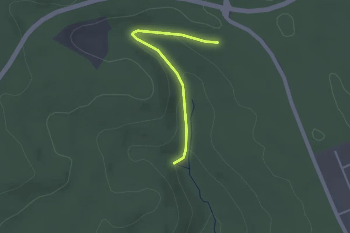
Easy · Trail
Paradies - Simmersfelder Kreuz
2.3 km · ↑ 62 m · 40 min
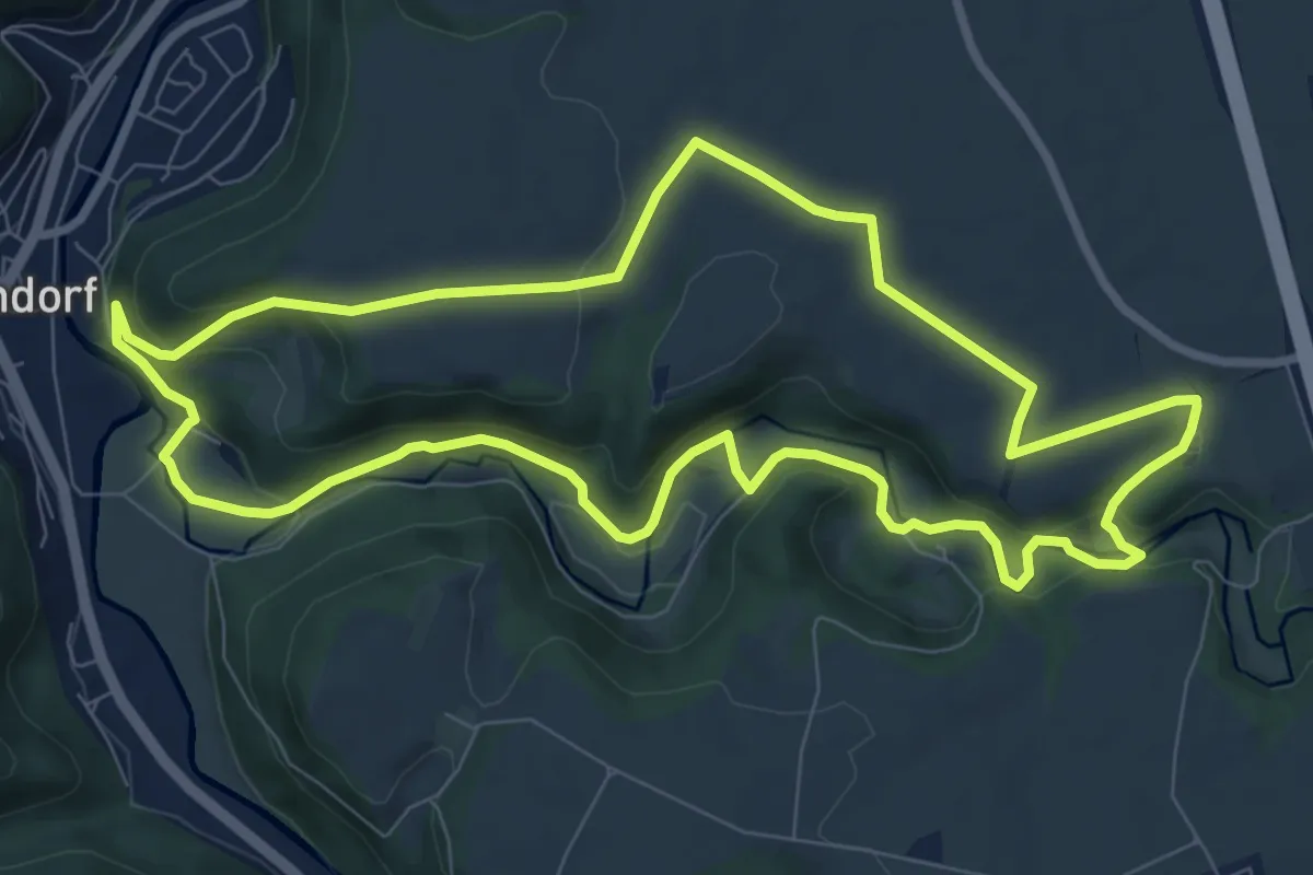
Medium · Trail
ParadiesTour: Schlichemklamm
8.7 km · ↑ 233 m · 2 h 41 min
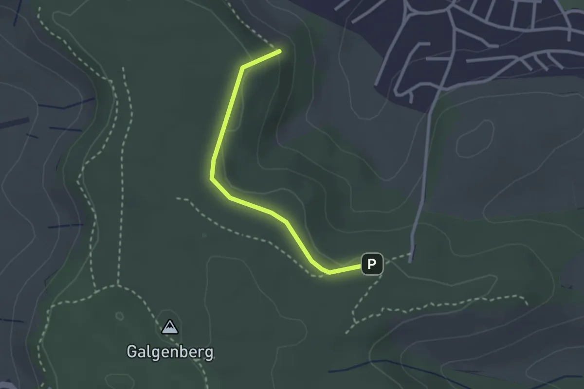
Easy · Trail
Paradiesweg
2.2 km · ↑ 39 m · 36 min
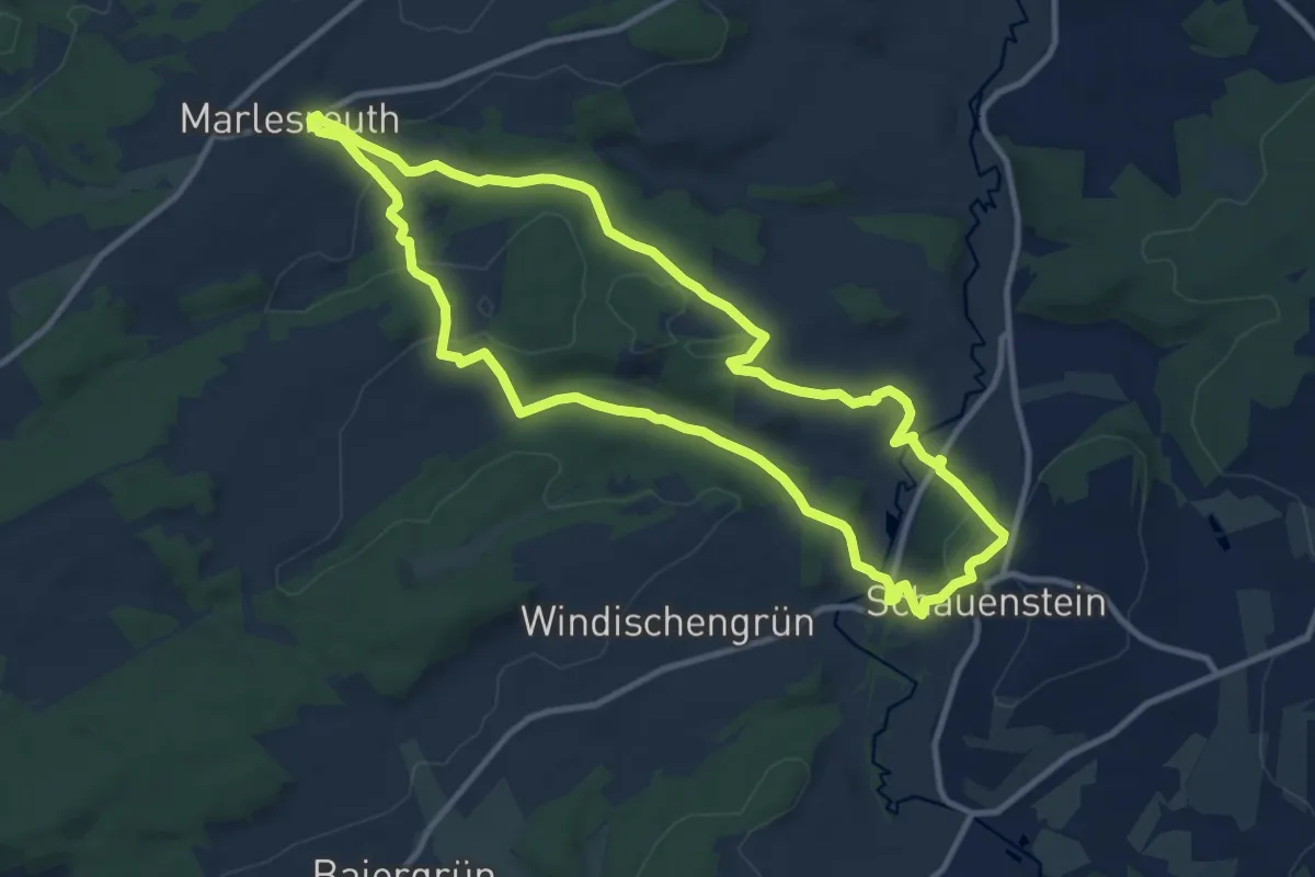
Medium · Trail
Paradies-Weg OS 26
10.1 km · ↑ 246 m · 3 h 3 min
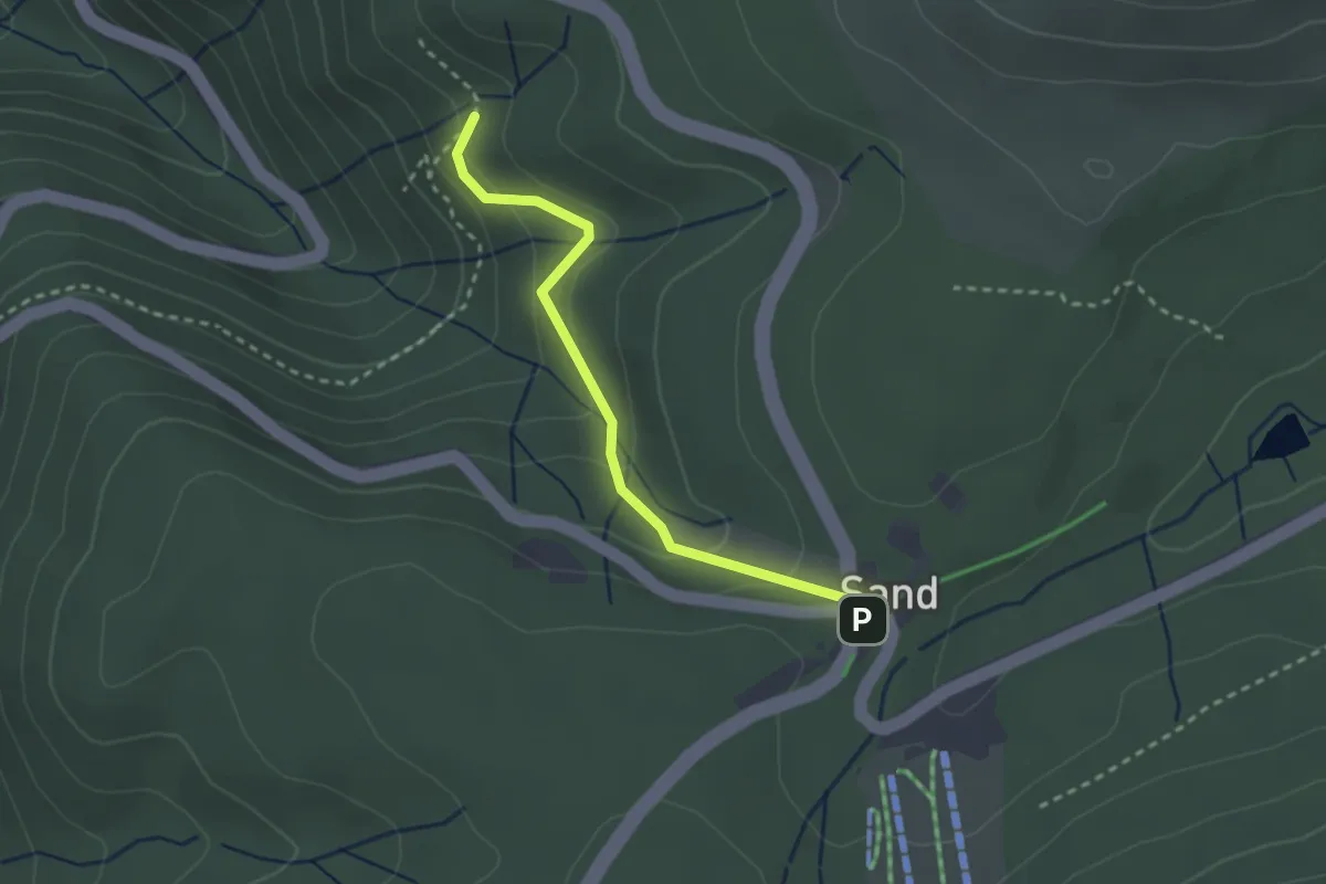
Easy · Trail
Paradiesweg - Sand Kapelle
2.5 km · ↑ 157 m · 55 min
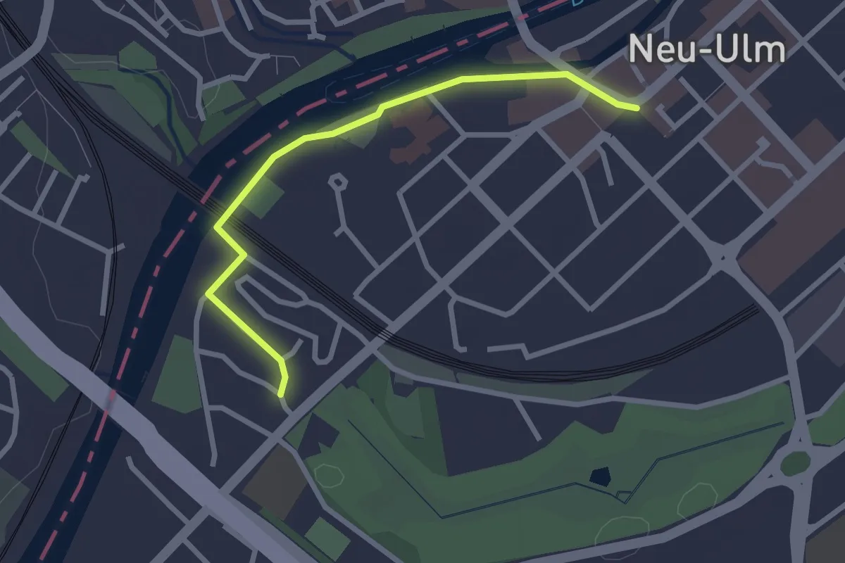
Easy · Trail
Parkgeschichten
1.2 km · ↑ 0 m · 18 min
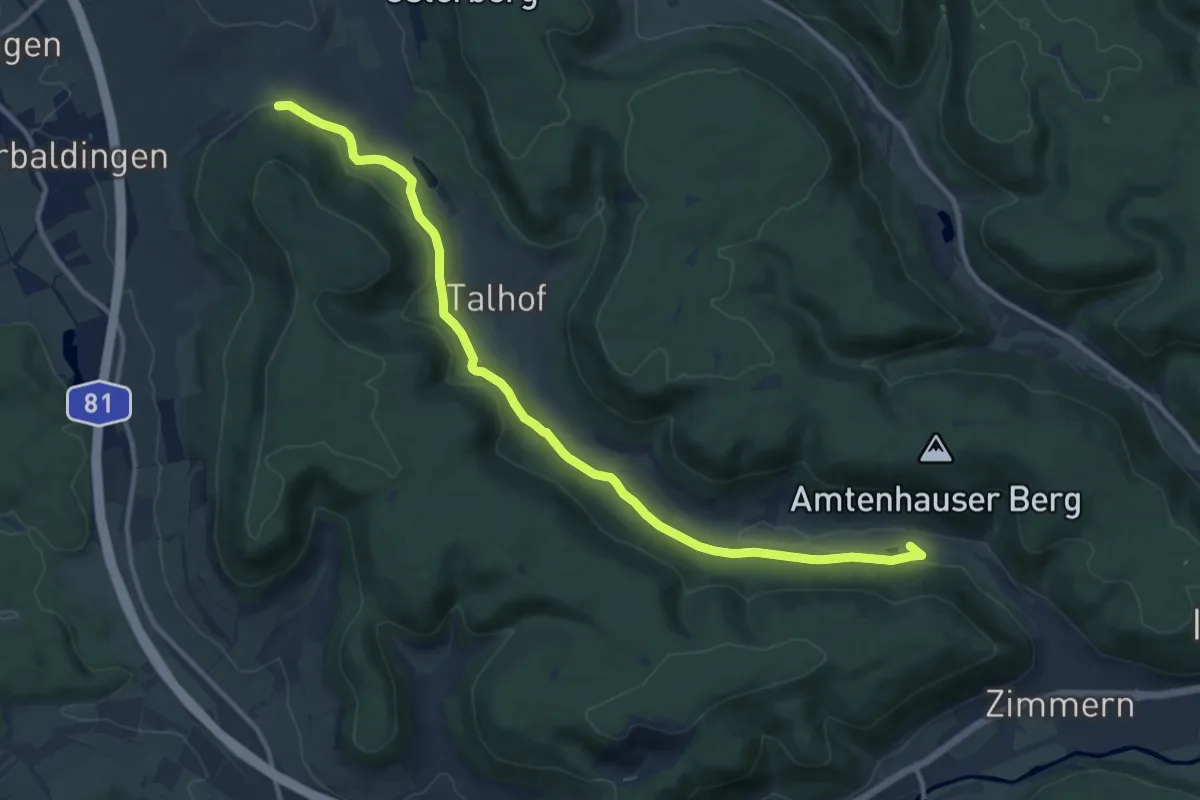
Medium · Trail
Parkplatz Amtenhauser Tal - Rotmund
12.8 km · ↑ 193 m · 3 h 26 min
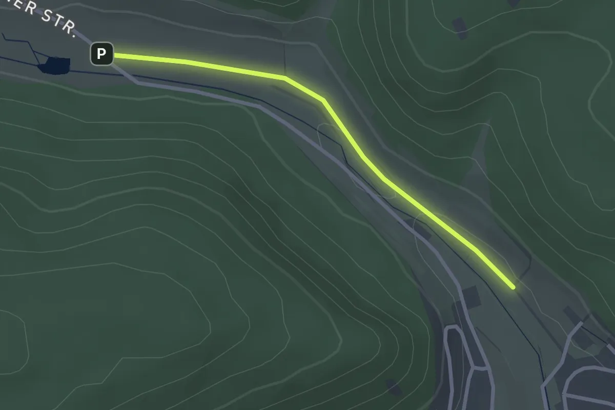
Easy · Trail
Parkplatz Amtenhauser Tal - Stolzenmühleäcker
2.5 km · ↑ 9 m · 37 min
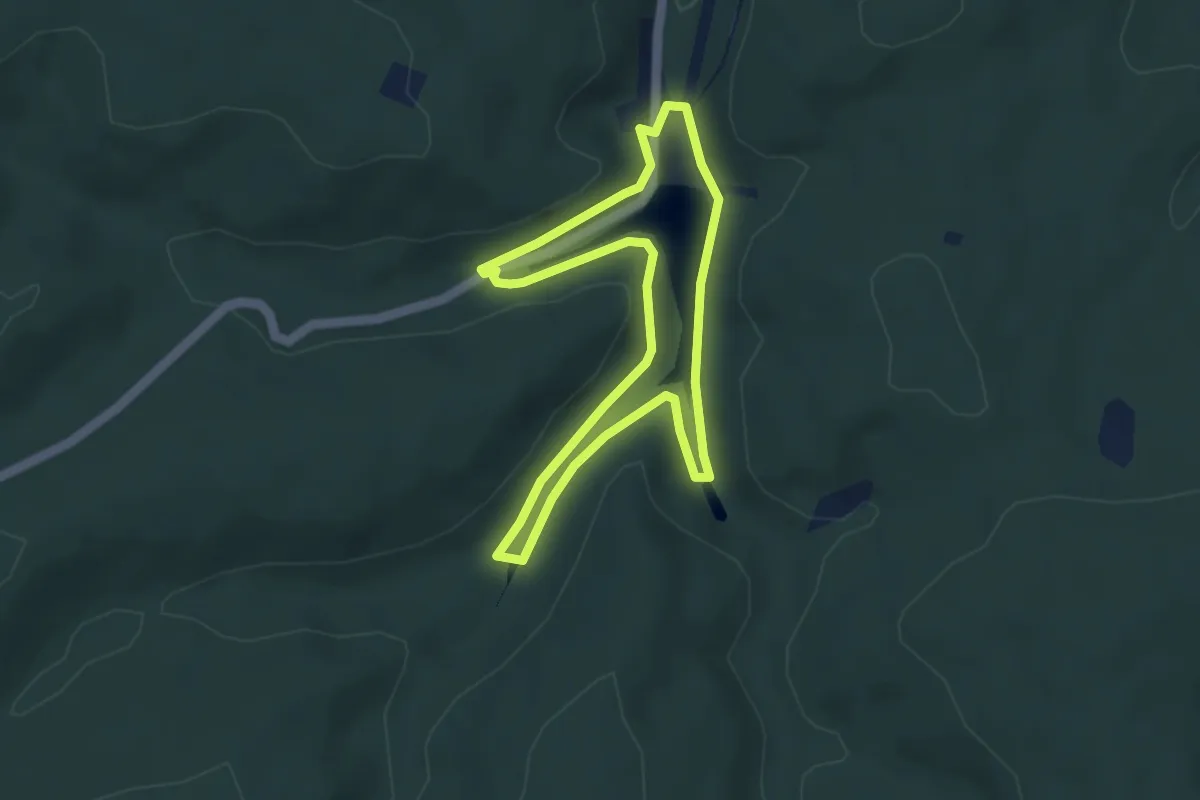
Easy · Trail
Parkplatz Eiswoog Rundweg 11
3.5 km · ↑ 89 m · 1 h 5 min
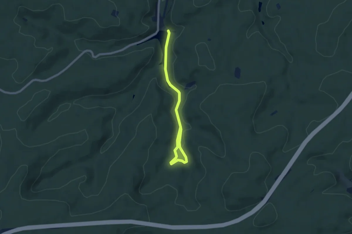
Easy · Trail
Parkplatz Eiswoog Rundweg 12
5.1 km · ↑ 69 m · 1 h 22 min
Medium · Trail
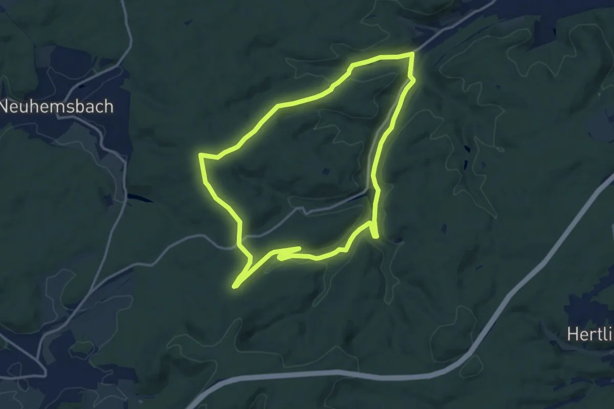
Parkplatz Eiswoog Rundweg 14
11.1 km · ↑ 200 m · 3 h 12 min
Easy · Summit
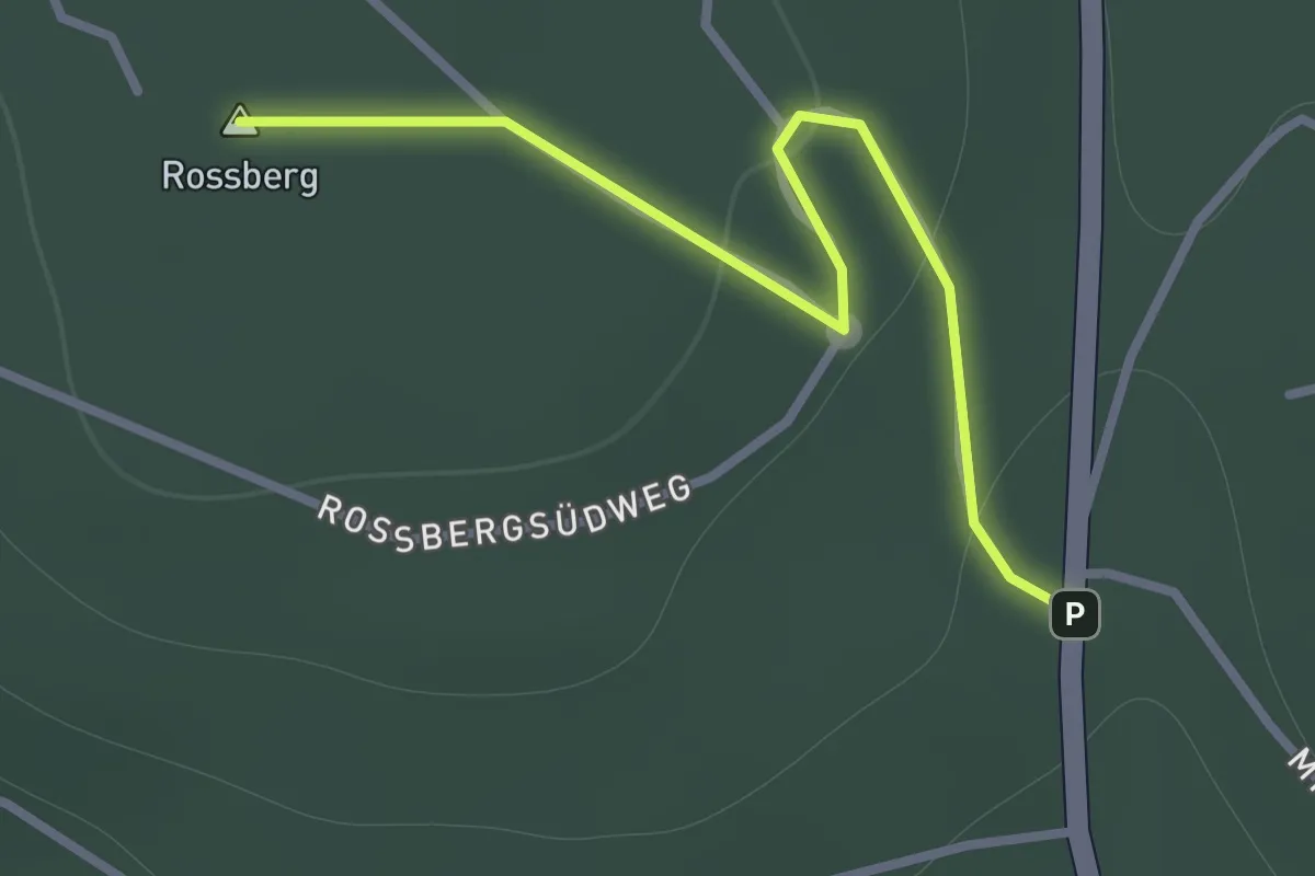
Parkplatz Eiszeitpark - Am Schmiedsberg
1.1 km · ↑ 22 m · 19 min
Easy · Summit
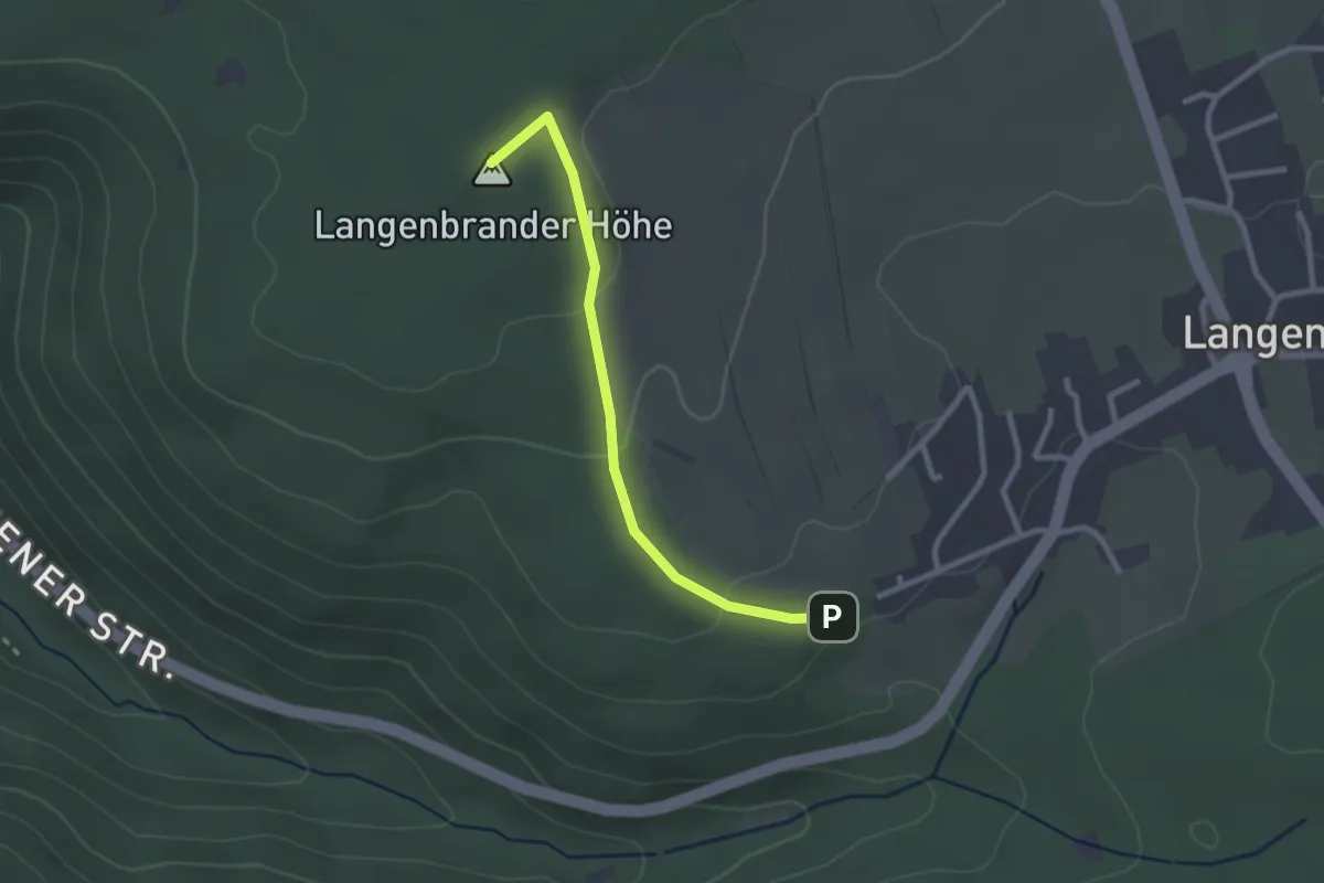
Parkplatz Felsenmeer - Langenbrander Höhe
2.3 km · ↑ 62 m · 41 min
Easy · Trail
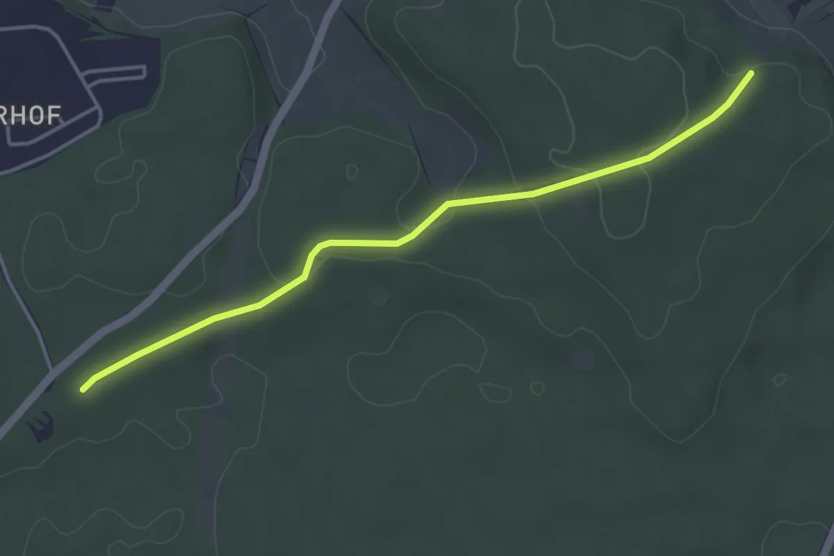
Parkplatz Großtannenwald - Am Buchberg
3.9 km · ↑ 69 m · 1 h 5 min
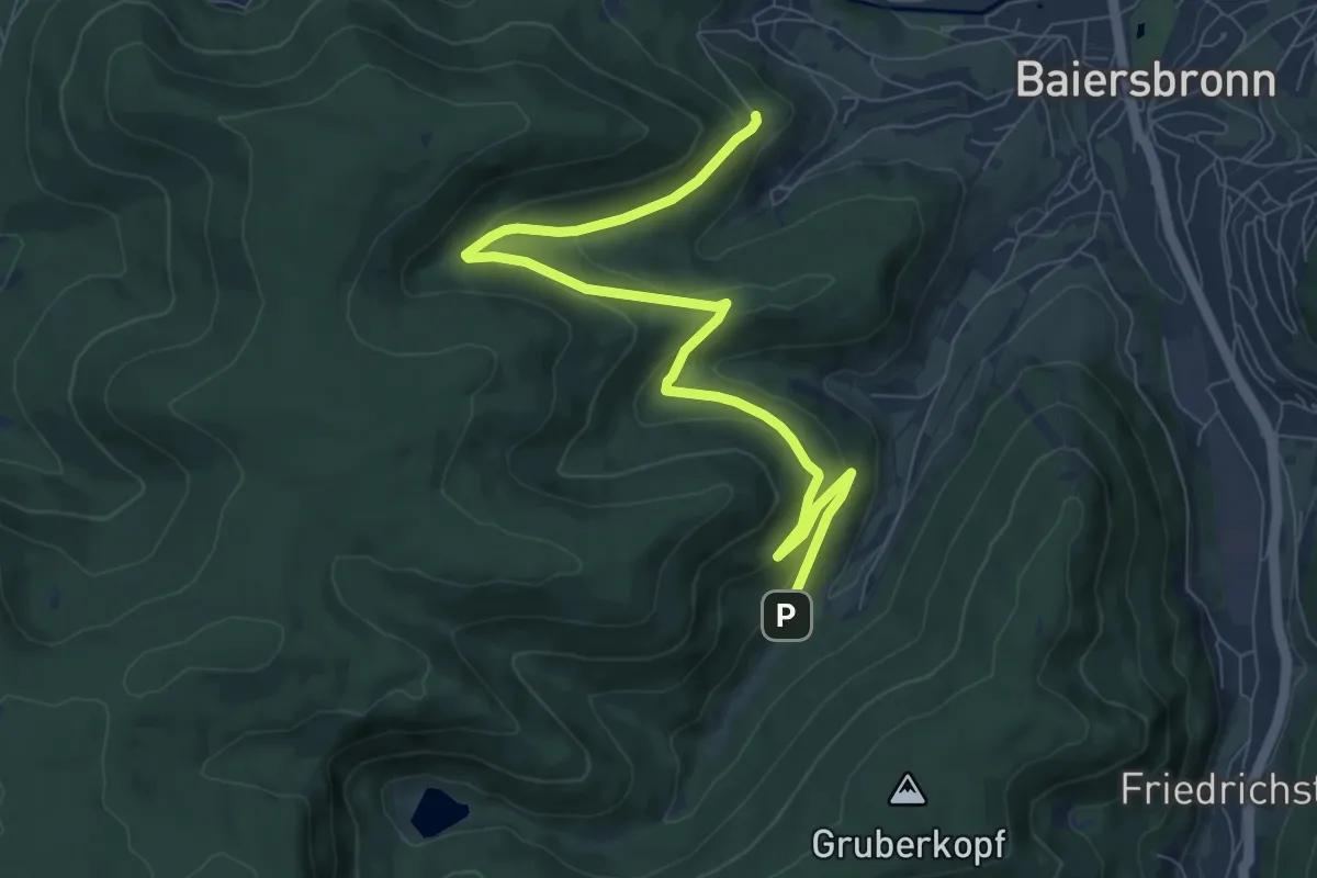
Medium · Trail
Parkplatz Heuberg - Spielplatz Sankenbach
8.9 km · ↑ 411 m · 2 h 59 min
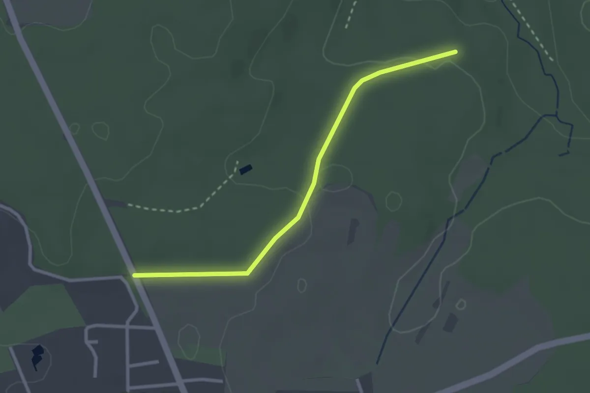
Easy · Trail
Parkplatz Hohholz - Dollbronner Klinge
2.5 km · ↑ 37 m · 41 min
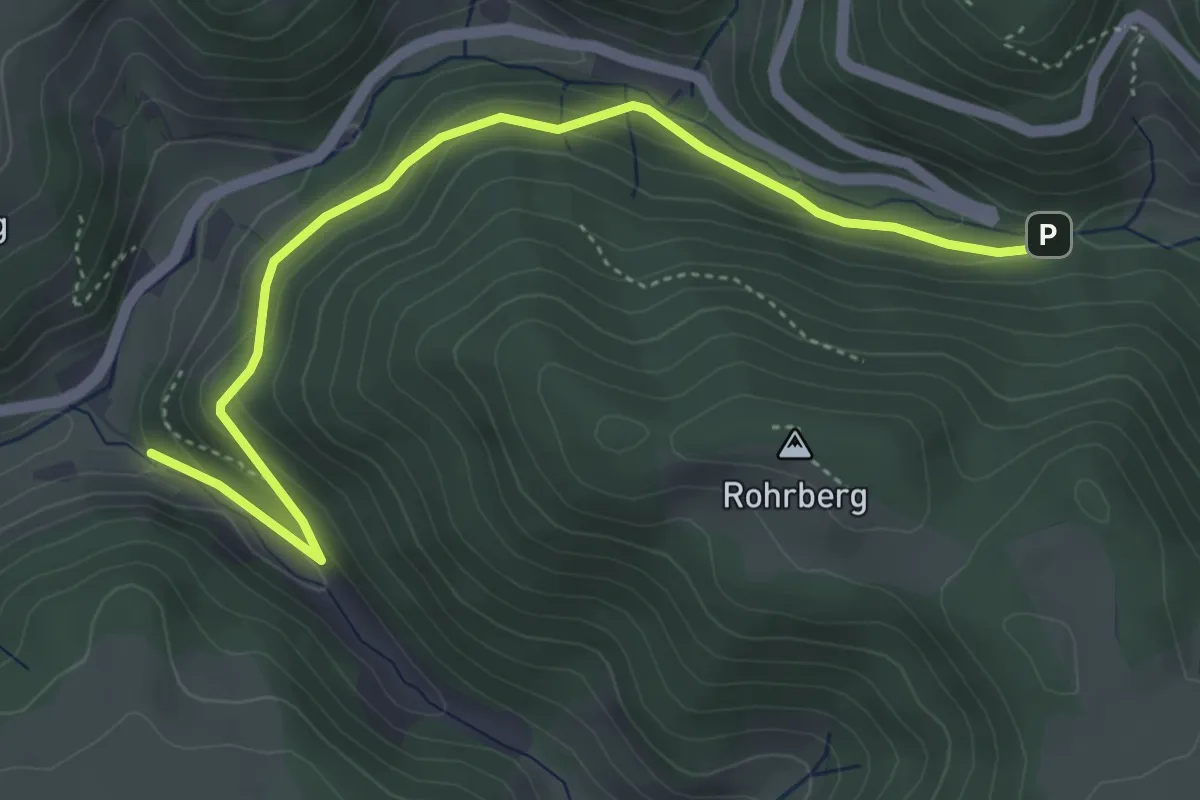
Easy · Trail
Parkplatz Holzschlag - Wagensteig Hinterbauernhof
4.8 km · ↑ 221 m · 1 h 37 min
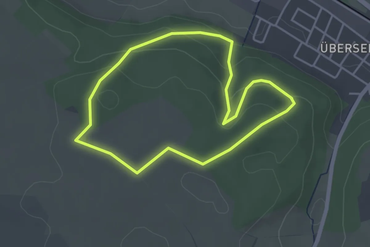
Easy · Trail
Parkplatz Karlsbrunnen Rundweg 2: (Rosengarten-Weg)
3.1 km · ↑ 103 m · 1 h
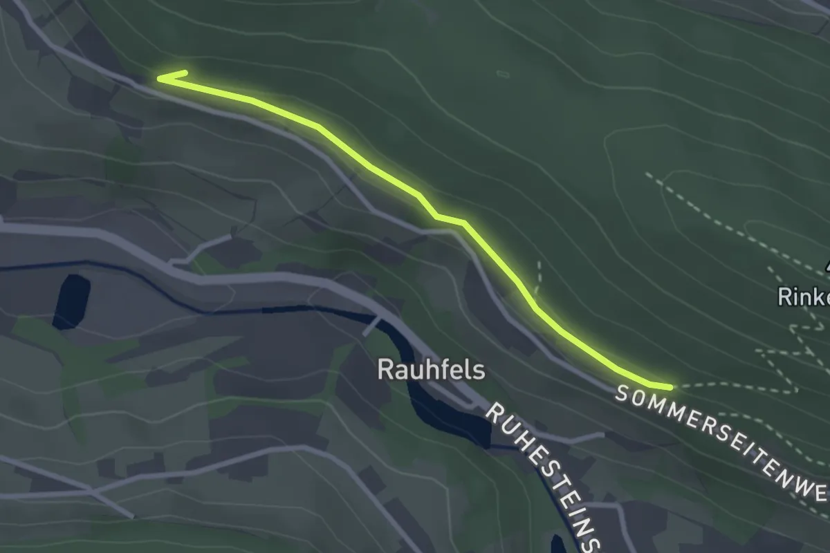
Easy · Trail
Parkplatz Labbronnen - Rauhfelsen
2.4 km · ↑ 39 m · 39 min
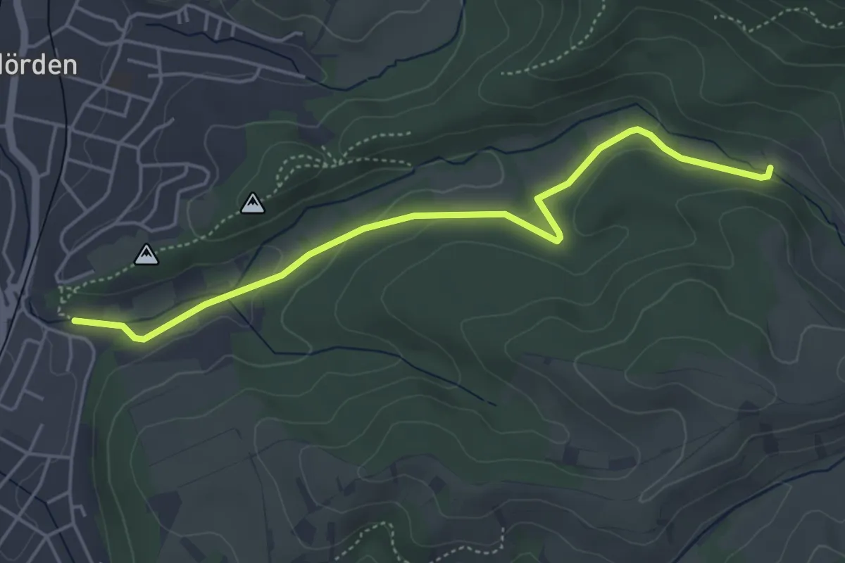
Easy · Trail
Parkplatz Laufbachtal - Laufbachbrücke
4.7 km · ↑ 97 m · 1 h 19 min
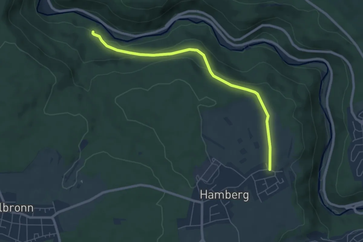
Easy · Trail
Parkplatz Liebeneck - Hamberg
5.7 km · ↑ 146 m · 1 h 39 min
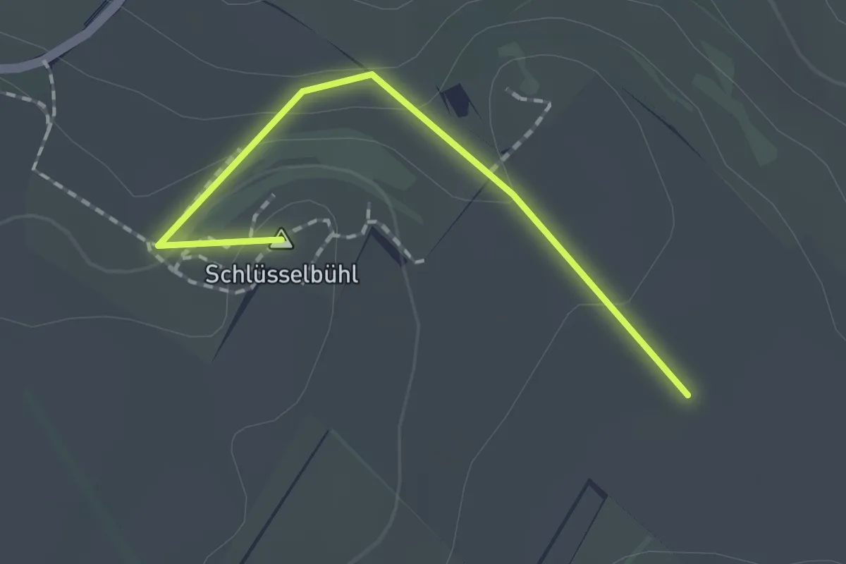
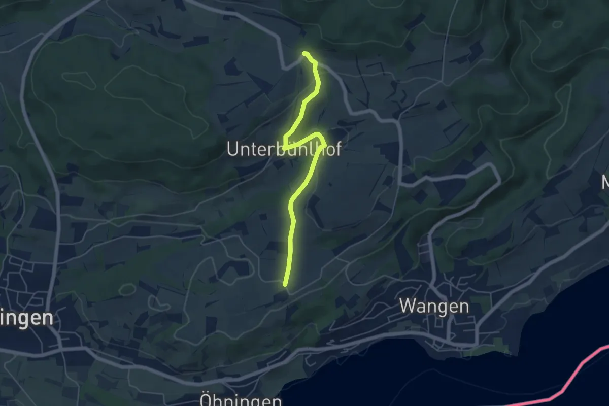
Easy · Summit
Parkplatz Mägdeberg - Unterm Lederbohl
1.6 km · ↑ 51 m · 29 min
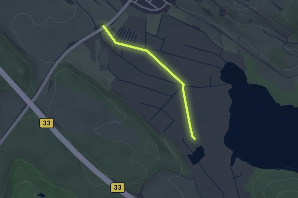
Easy · Trail
Parkplatz Maßholder - Nässe
4.7 km · ↑ 123 m · 1 h 22 min
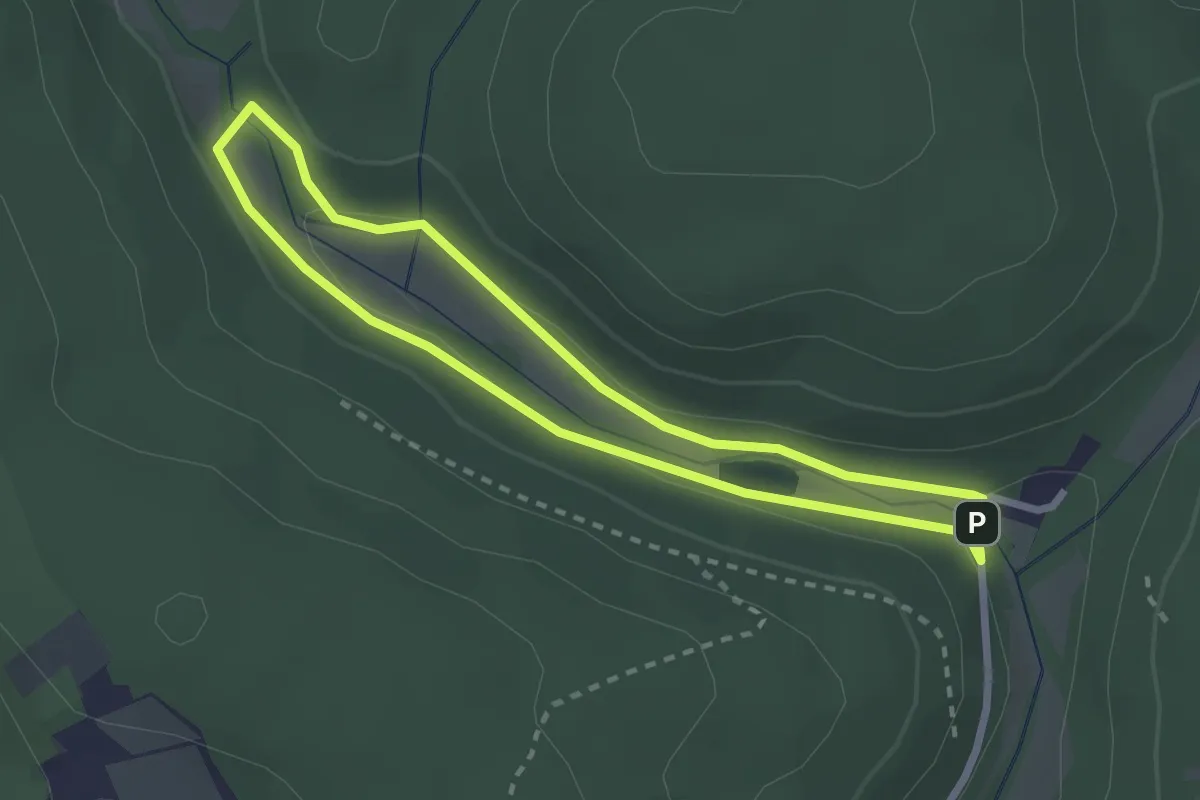
Easy · Trail
Parkplatz Mindelsee - Mögginger Ried
2.2 km · ↑ 4 m · 31 min
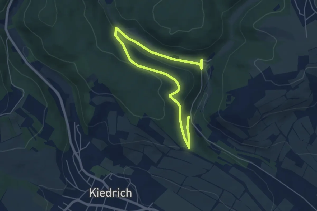
Easy · Trail
Parkplatz "Rausch": Rundwanderweg Forelle
2.2 km · ↑ 38 m · 38 min
Easy · Trail
Parkplatz "Rausch": Rundwanderweg Lindenblatt
3.0 km · ↑ 79 m · 56 min
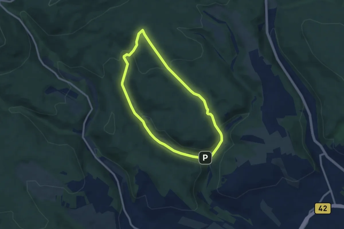
Easy · Trail
Parkplatz "Rausch": Rundwanderweg Pilz
5.5 km · ↑ 196 m · 1 h 48 min
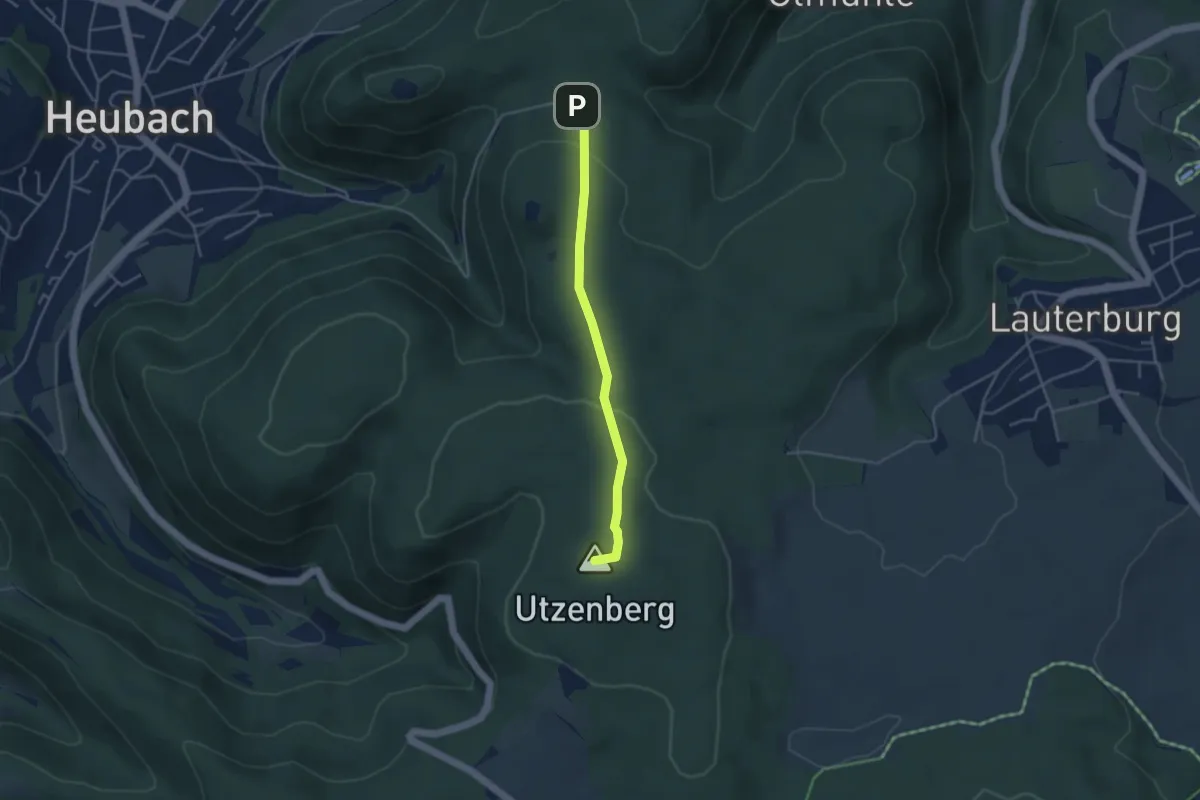
Easy · Summit
Parkplatz Rosenstein -
3.4 km · ↑ 86 m · 1 h
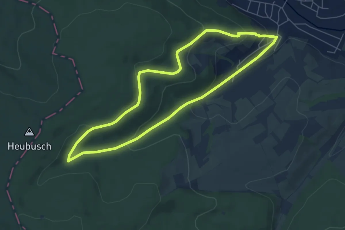
Easy · Trail
Parkplatzrundwanderweg Am Bubenbrunnen 4: Kreuz-Weg
5.1 km · ↑ 152 m · 1 h 36 min
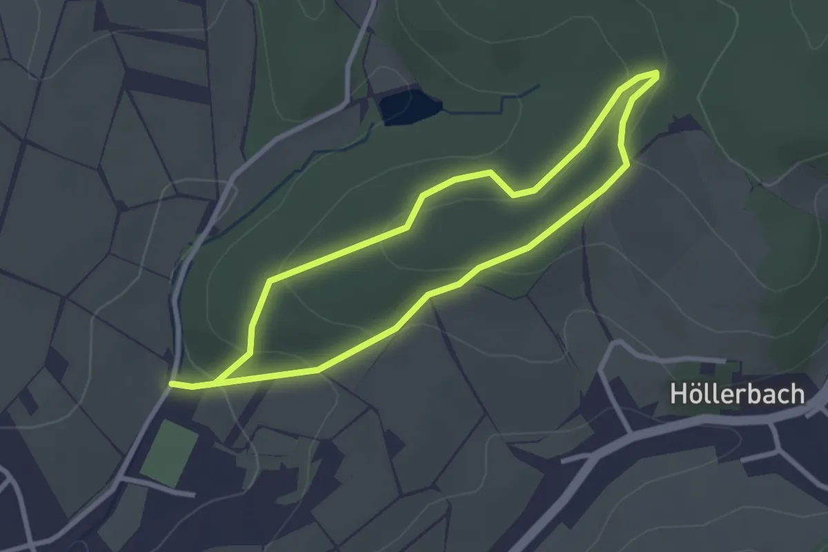
Easy · Trail
Parkplatzrundwanderweg Am Hinterwald 1 : Peter Brühler Weg
2.3 km · ↑ 84 m · 45 min
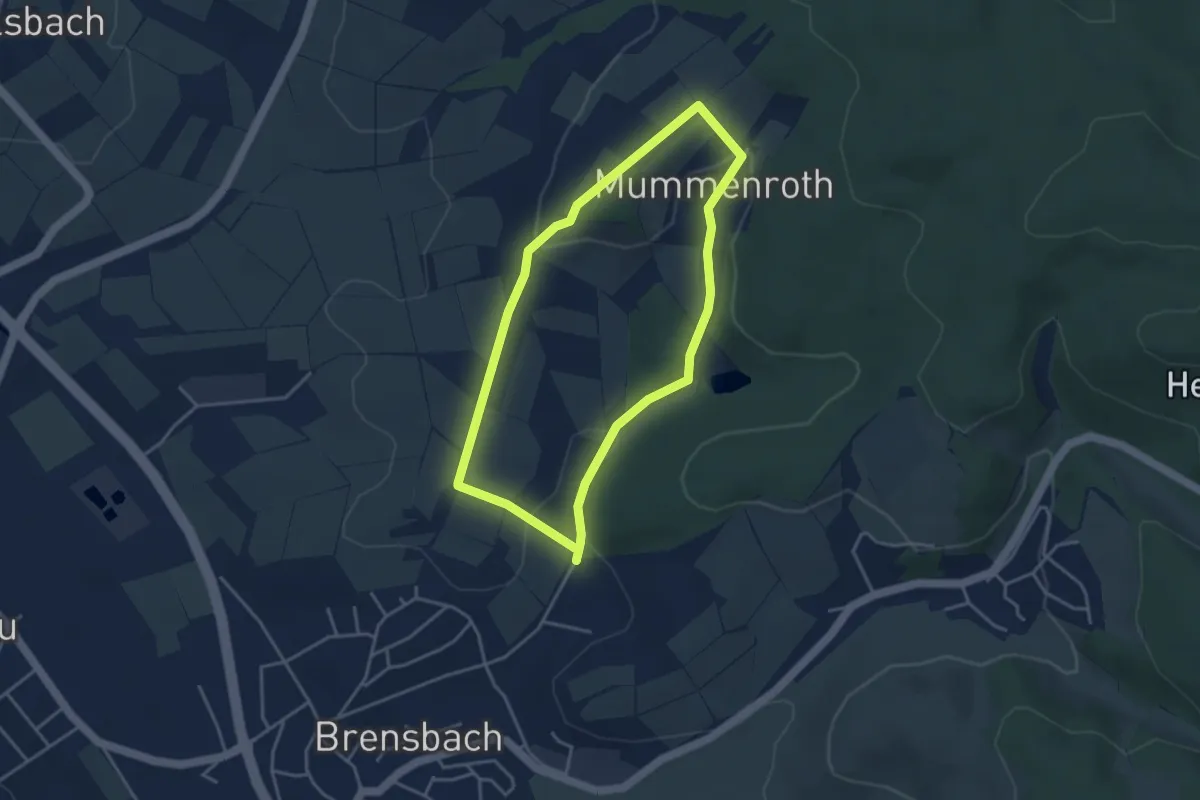
Easy · Trail
Parkplatzrundwanderweg Am Hinterwald 3 : Vogelherdweg
3.3 km · ↑ 82 m · 1 h
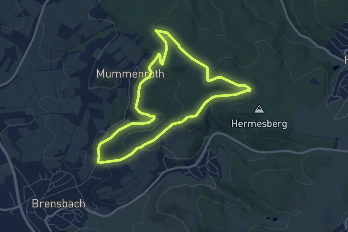
Easy · Trail
Parkplatzrundwanderweg Am Hinterwald 4 : Elisabethenruheweg
6.3 km · ↑ 188 m · 2 h
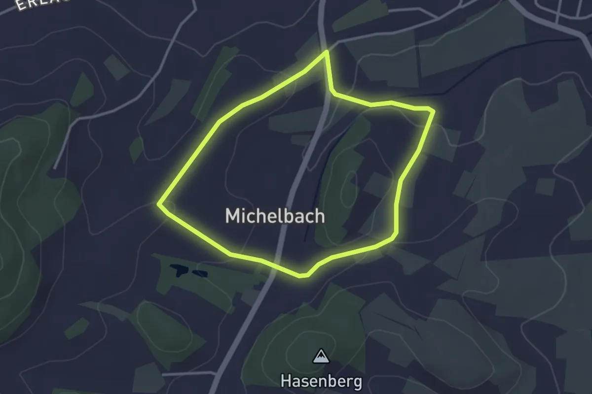
Easy · Trail
Parkplatzrundwanderweg Am Michelbacher Tal 4 : Michelbacher-Weg
2.7 km · ↑ 59 m · 49 min
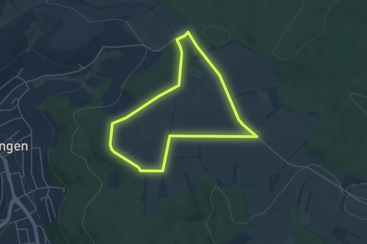
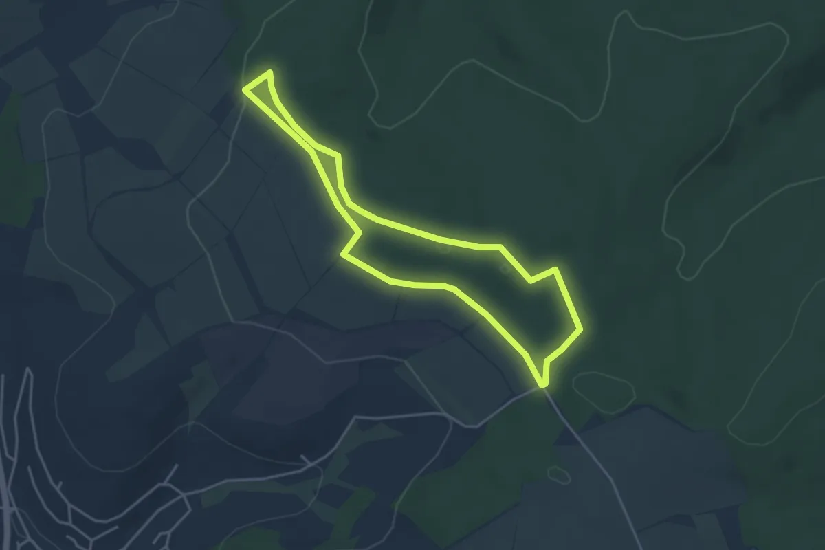
Easy · Trail
Parkplatzrundwanderweg An der Kreuzstraße 1 : Altmauer-Höhe-Weg
3.6 km · ↑ 37 m · 58 min
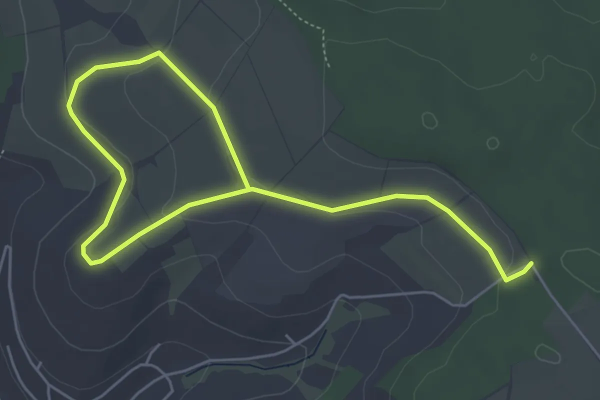
Easy · Trail
Parkplatzrundwanderweg An der Kreuzstraße 2 : Scherder-Weg
3.5 km · ↑ 45 m · 59 min
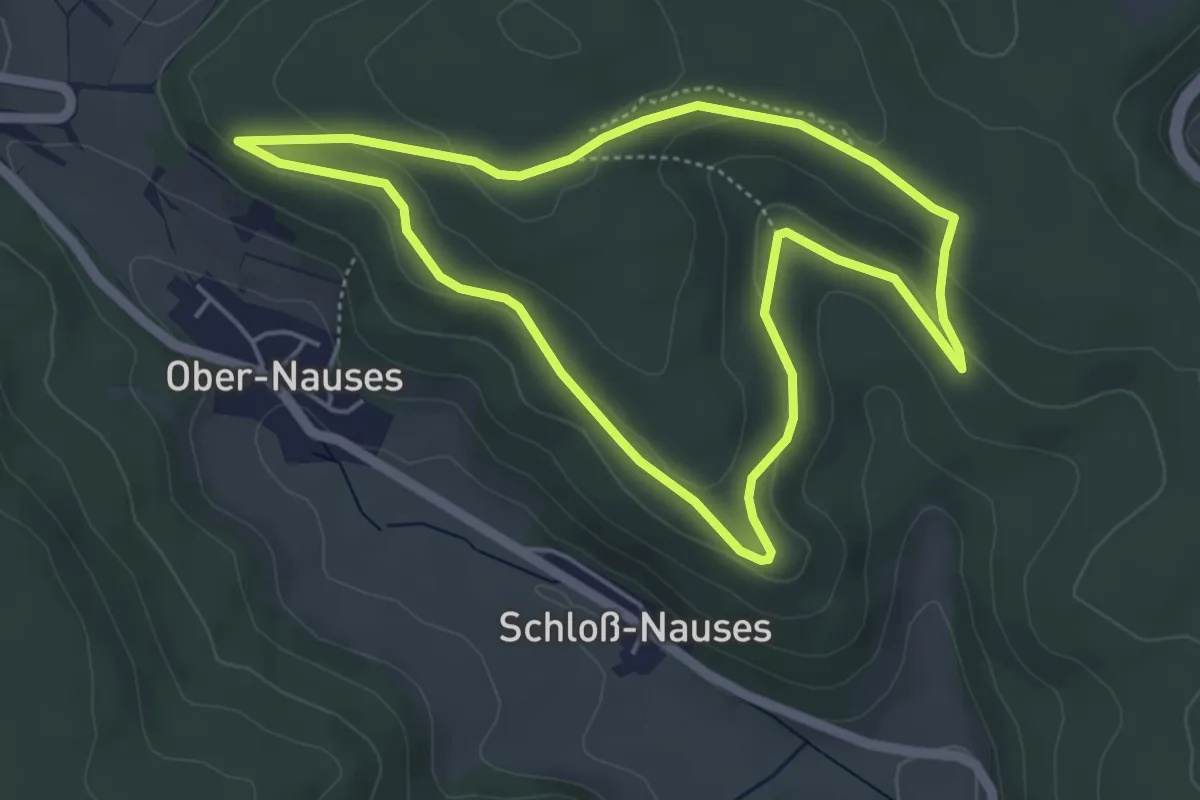
Easy · Trail
Parkplatzrundwanderweg An der Kreuzstraße 3 : Lichte-Platte-Weg
3.3 km · ↑ 80 m · 59 min
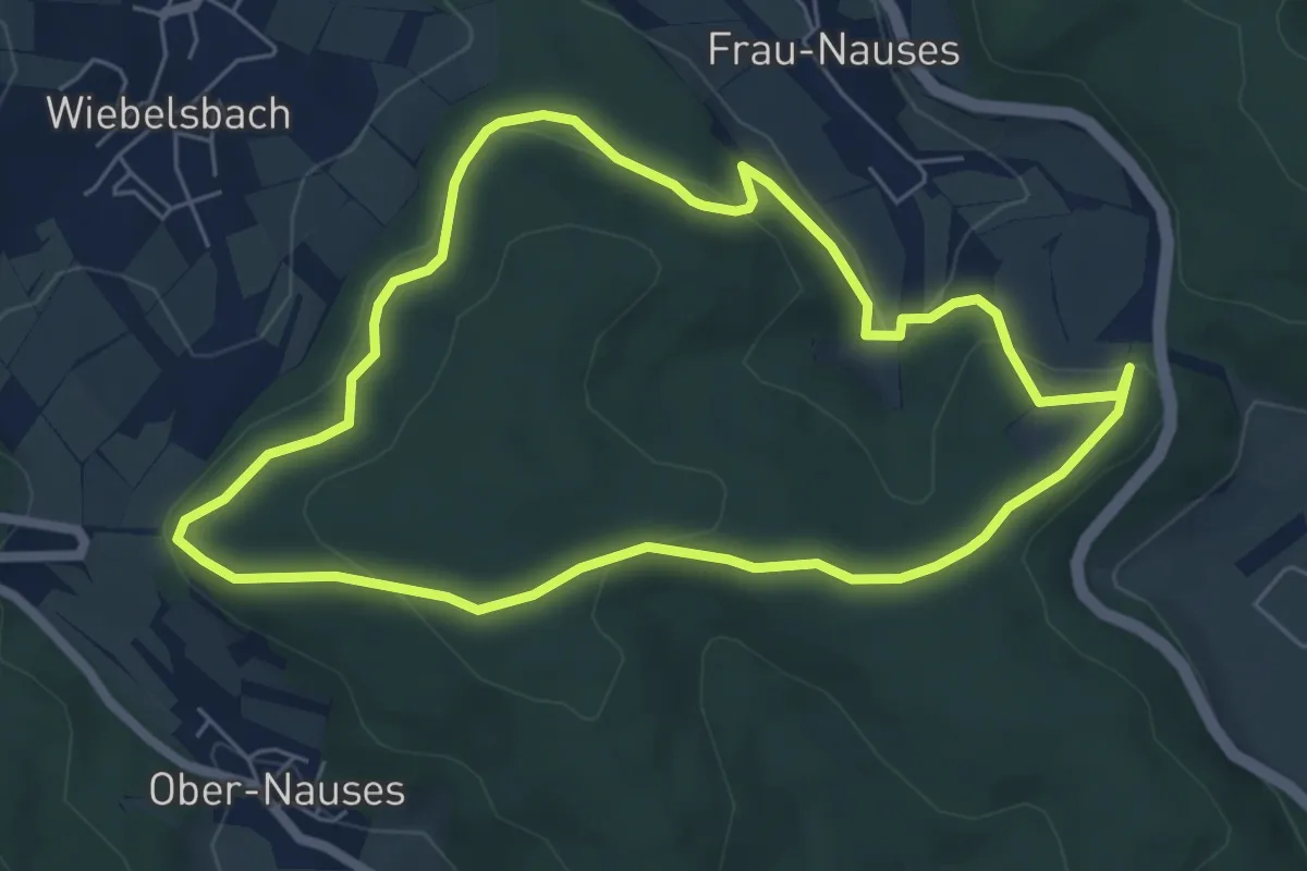
Easy · Trail
Parkplatzrundwanderweg Bettelmannsbuche 6 : Tannenberg-Weg
4.4 km · ↑ 97 m · 1 h 18 min
Easy · Trail
Parkplatzrundwanderweg Bettelmannsbuche 7 : Rondell-Weg
5.6 km · ↑ 149 m · 1 h 44 min