Trails in Germany
36,852 hiking trails, each with its route, climb, walking time and grade.
All trails, page 442 of 768
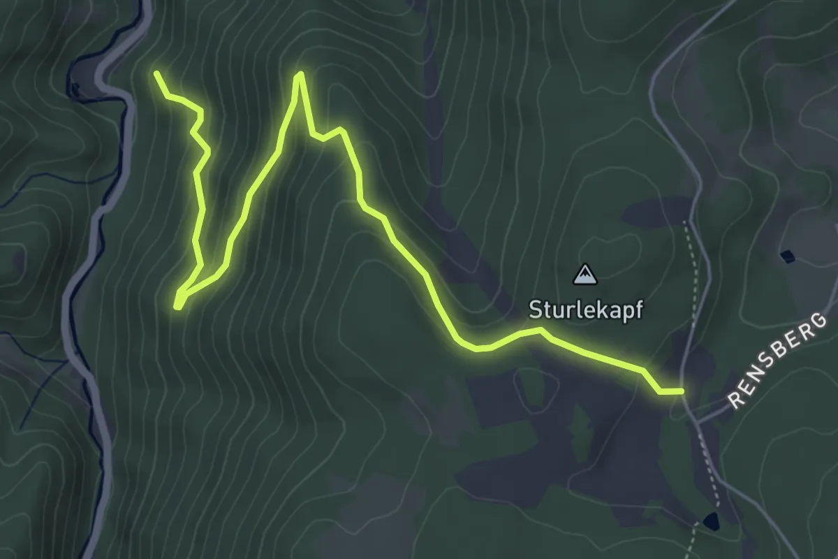
Medium · Trail
Rensberg - Schönbühl
6.3 km · ↑ 458 m · 2 h 28 min
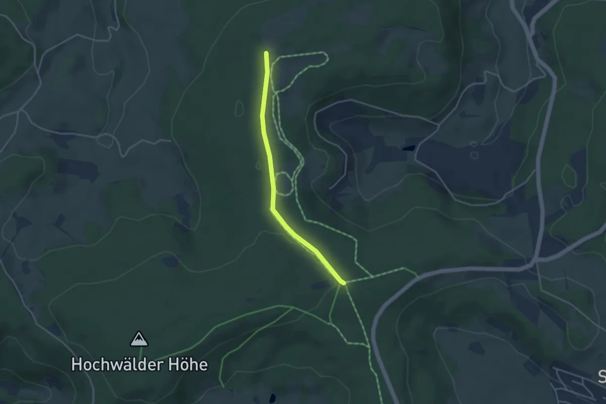
Easy · Trail
Rentnerhütte - Auf der Eck West
3.1 km · ↑ 48 m · 49 min
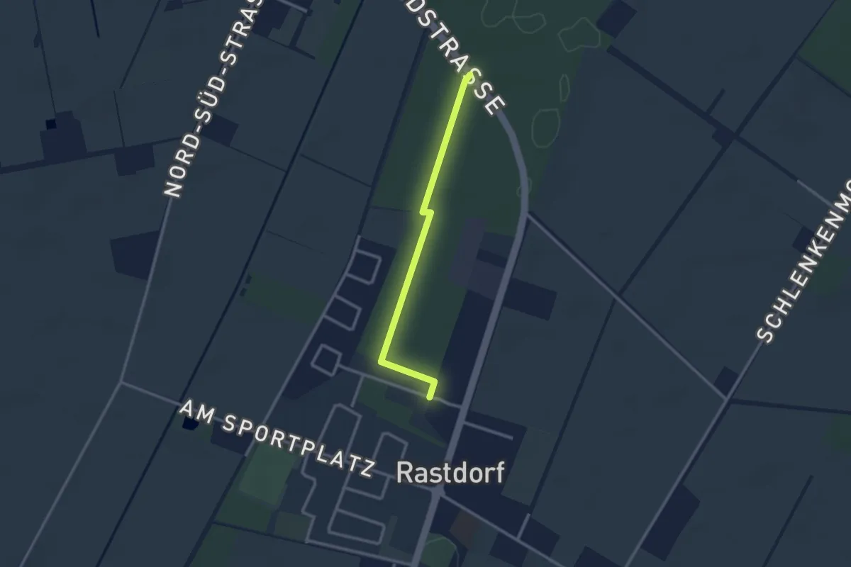
Easy · Trail
Rentnerweg
2.1 km · ↑ 0 m · 29 min
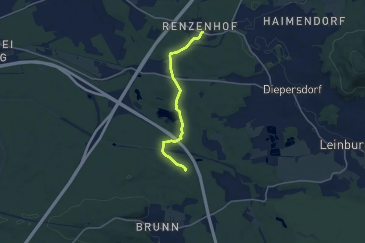
Easy · Trail
Renzenhof-Brunn
7.9 km · ↑ 57 m · 1 h 59 min
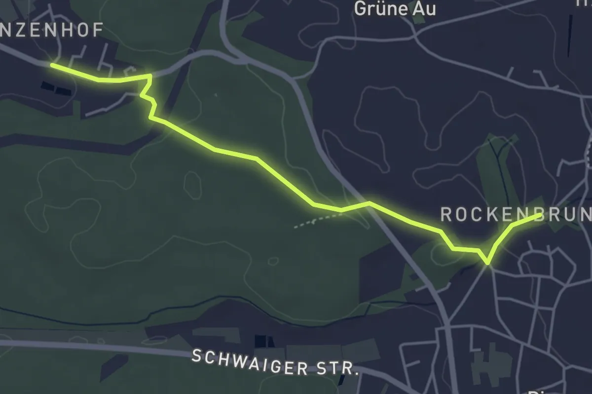
Easy · Trail
Renzenhof - Rockenbrunn
4.3 km · ↑ 61 m · 1 h 9 min
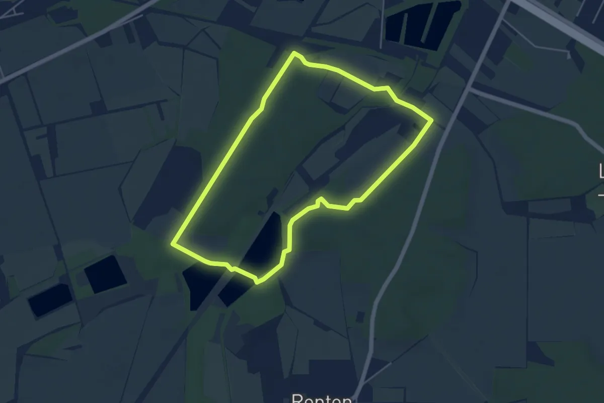
Easy · Trail
Reptener Teiche
4.1 km · ↑ 14 m · 1 h 3 min
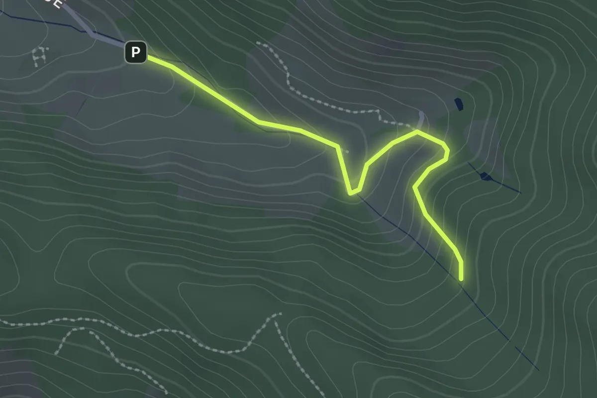
Easy · Trail
Reschhof - Überm Adamshof
2.2 km · ↑ 160 m · 52 min
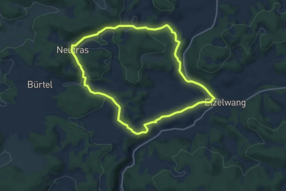
Easy · Summit
Resen Runde
7.6 km · ↑ 178 m · 2 h 18 min
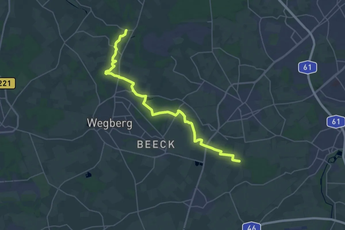
Demanding · Trail
Residenzweg
23.4 km · ↑ 71 m · 5 h 41 min
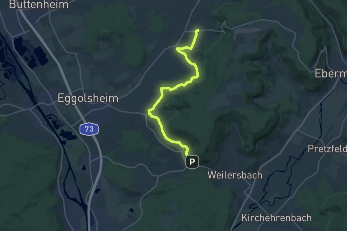
Medium · Trail
Rettern - Drosendorf
15.9 km · ↑ 349 m · 4 h 31 min
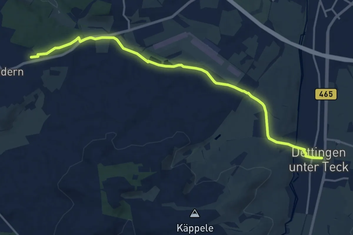
Medium · Trail
Reudern - Dettingen
11.7 km · ↑ 167 m · 3 h 7 min
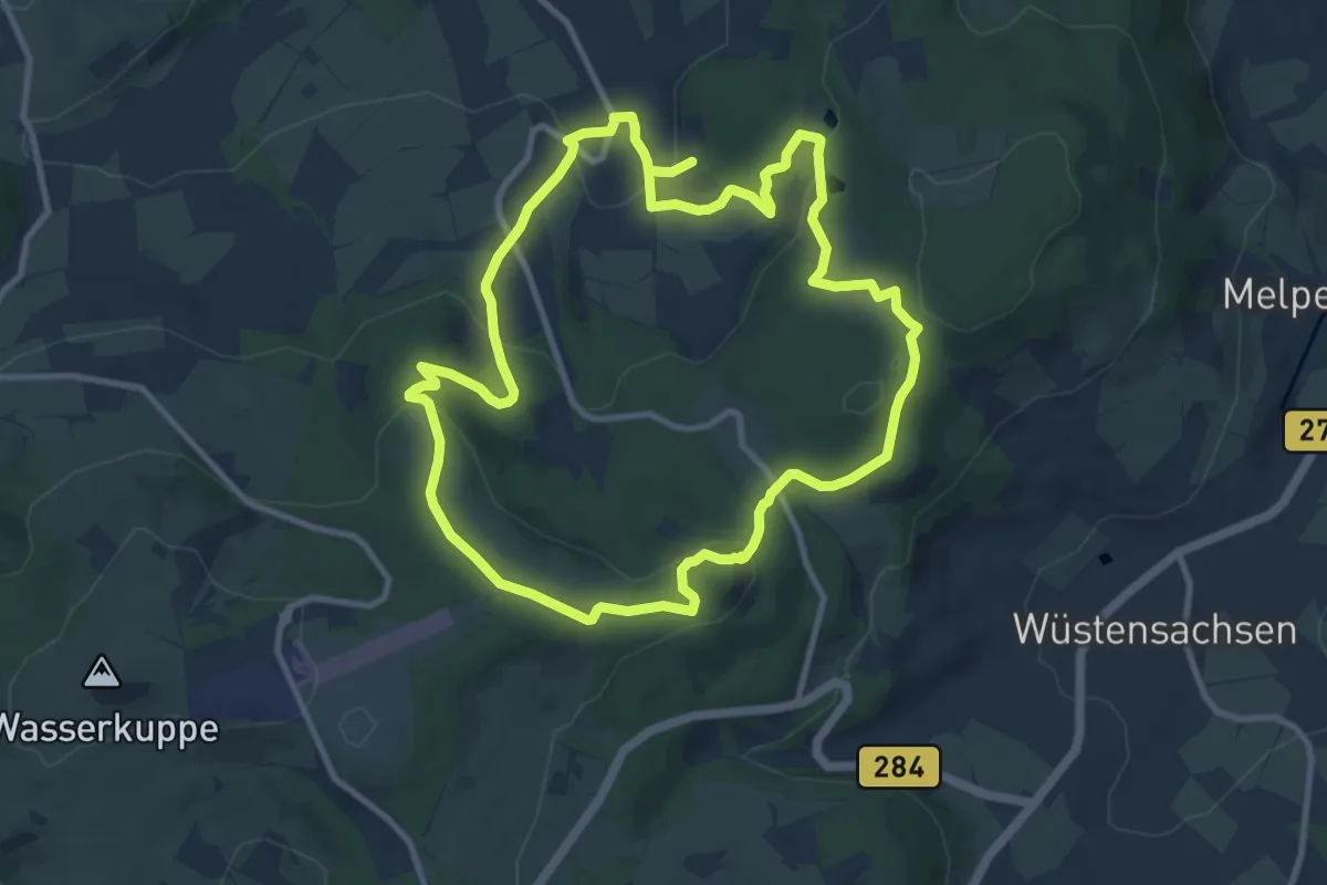
Medium · Summit
Reulbach Rundwanderweg 12
9.7 km · ↑ 331 m · 3 h 8 min
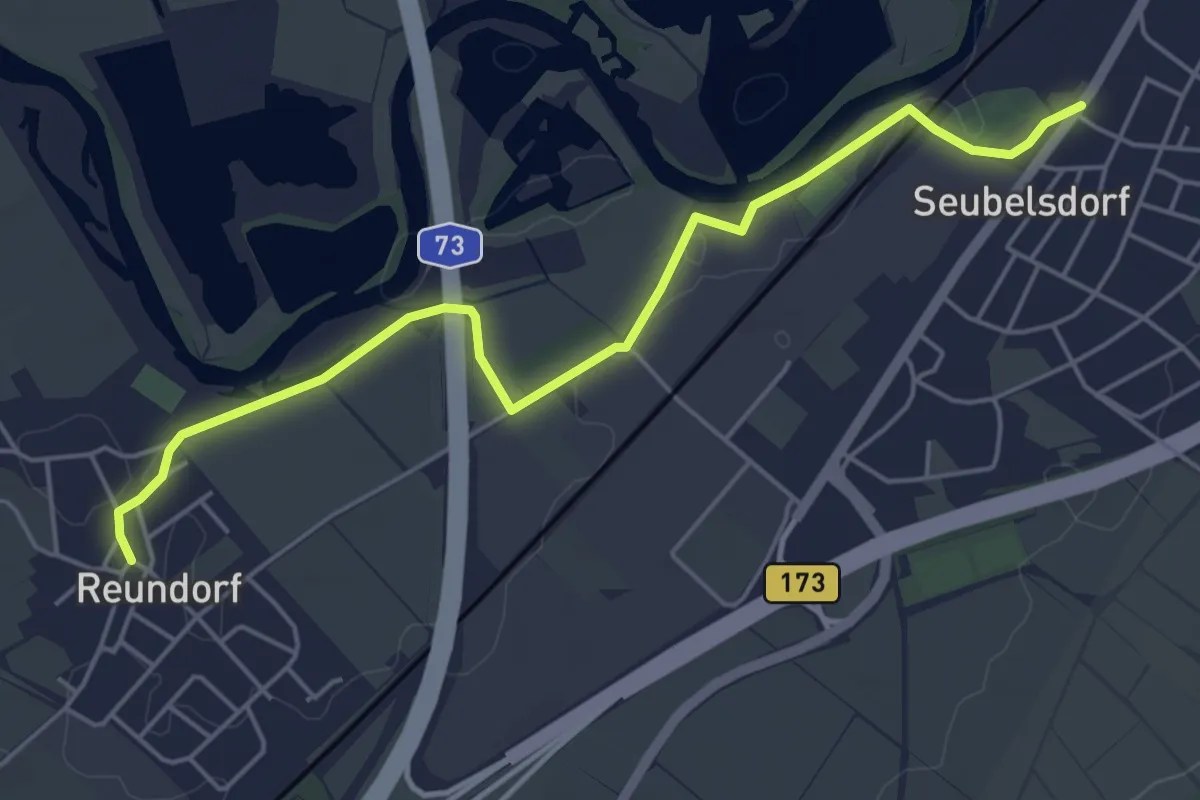
Easy · Trail
Reundorfer Weg
5.1 km · ↑ 4 m · 1 h 13 min
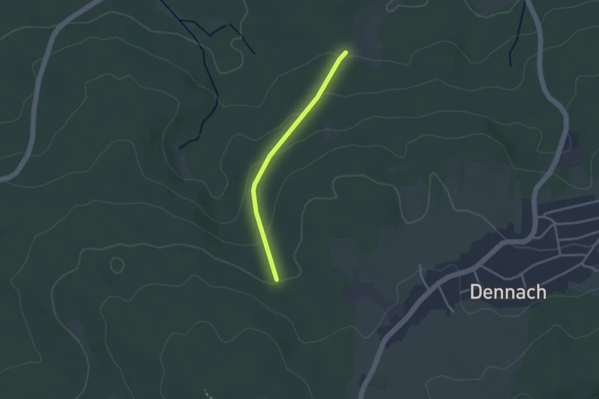
Easy · Trail
Reut am Büchert - Herzogswiesen
2.1 km · ↑ 81 m · 41 min
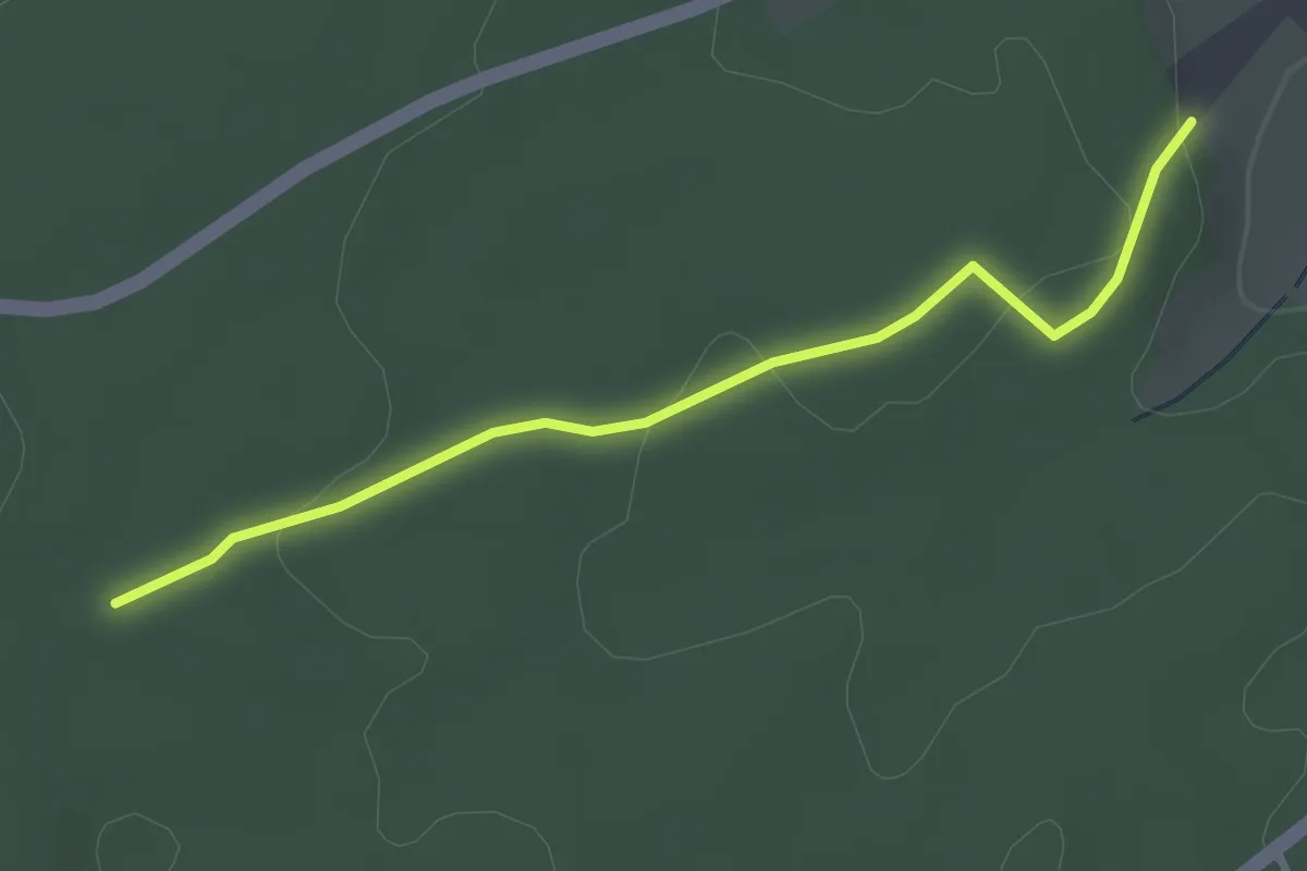
Easy · Trail
Reutebrunnenweg - Schecknau
3.0 km · ↑ 64 m · 50 min
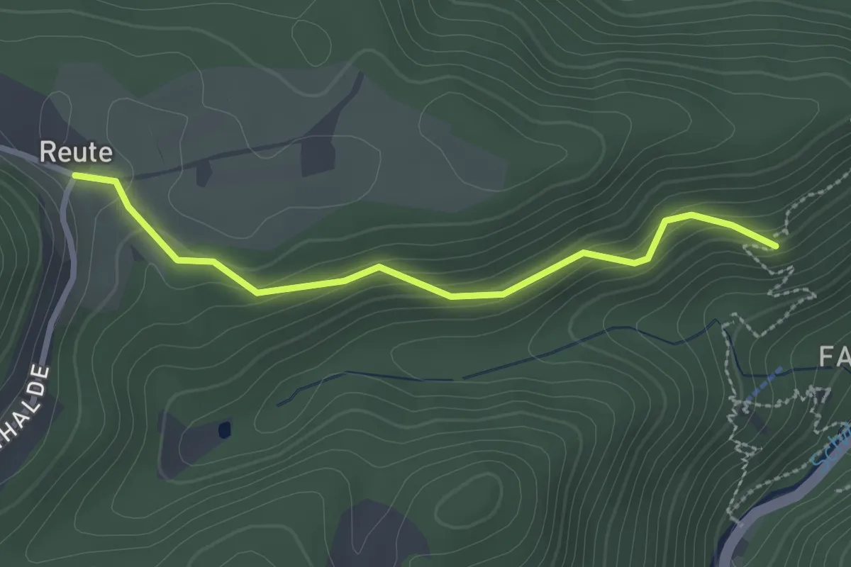
Easy · Trail
Reute - Geigeshalde
2.4 km · ↑ 171 m · 56 min
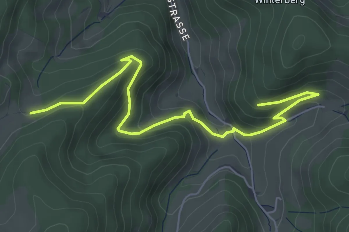
Easy · Trail
Reutegrund - Oberhalb Limbacherhof
5.7 km · ↑ 292 m · 1 h 58 min
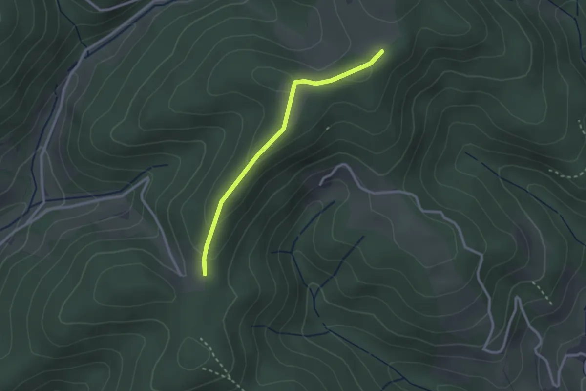
Easy · Trail
Reutegut - Schottenhöfen Sodlach
2.2 km · ↑ 75 m · 42 min
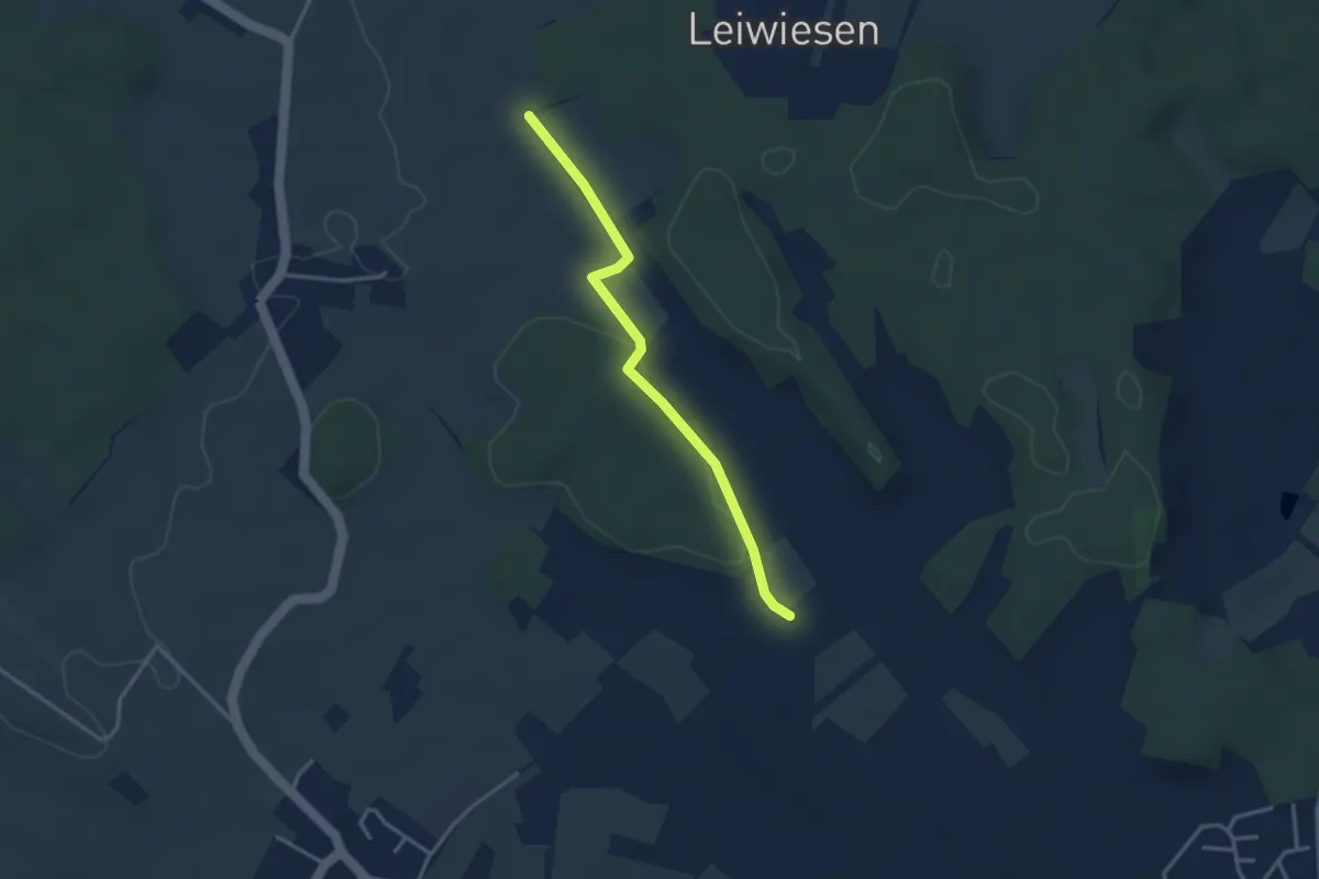
Easy · Trail
Reute - Ikelesholz
3.0 km · ↑ 54 m · 50 min
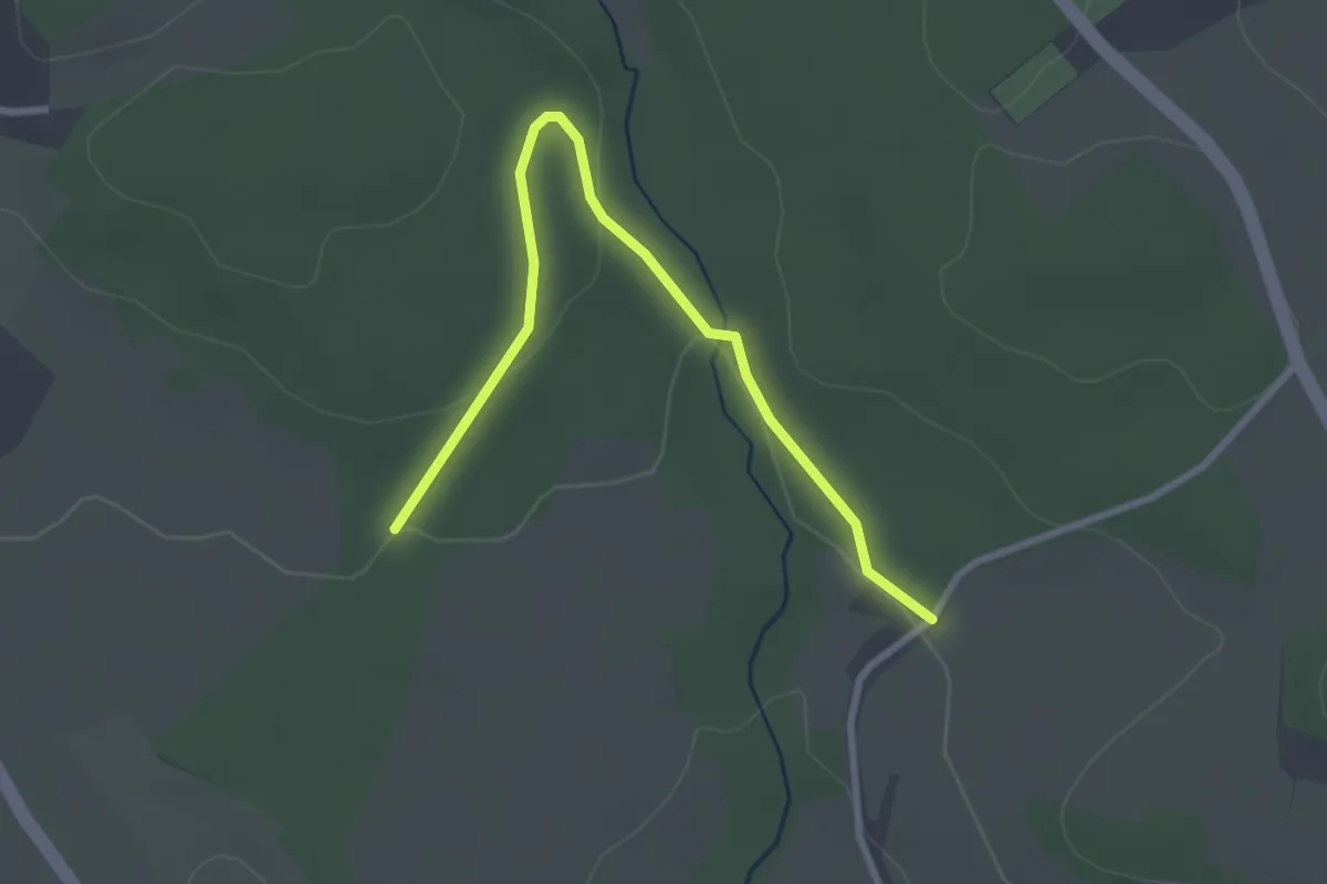
Easy · Trail
Reute - Kaltenau
2.9 km · ↑ 70 m · 50 min
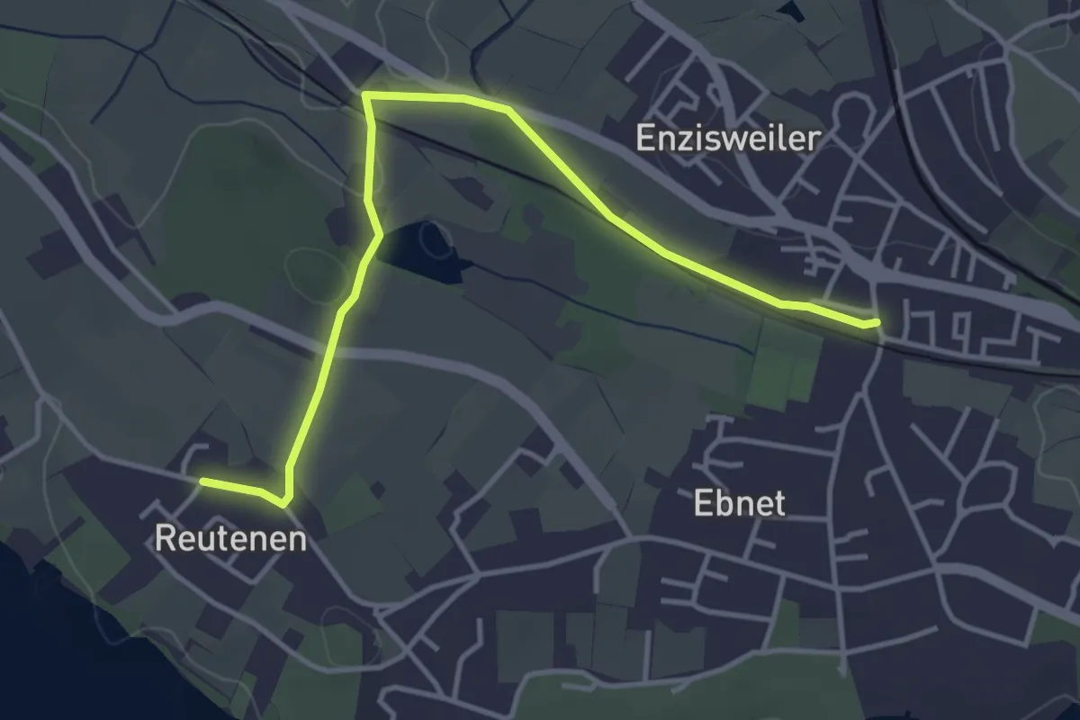
Easy · Trail
Reutenen - Enzisweiler
4.0 km · ↑ 17 m · 1 h
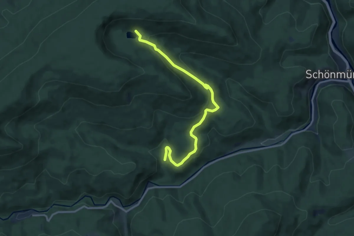
Medium · Trail
Reutenhart - Schurmsee
8.0 km · ↑ 304 m · 2 h 33 min
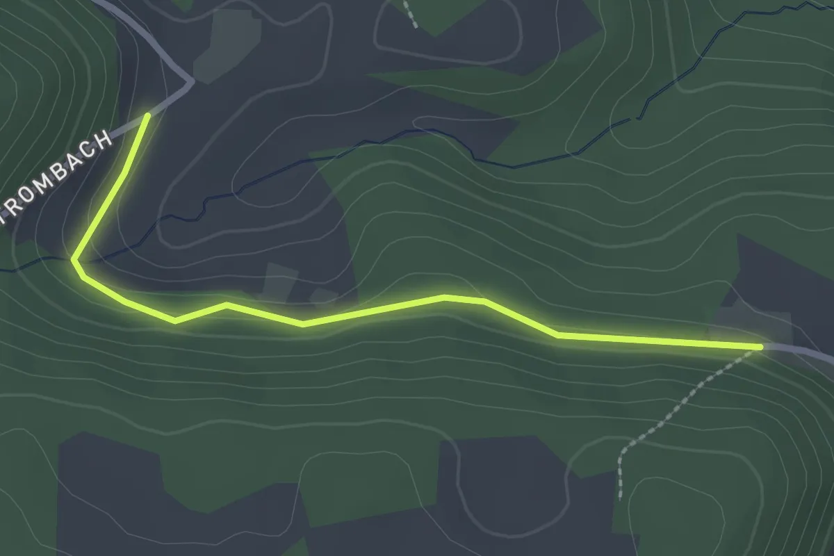
Easy · Trail
Reute - Trombach
2.3 km · ↑ 31 m · 37 min
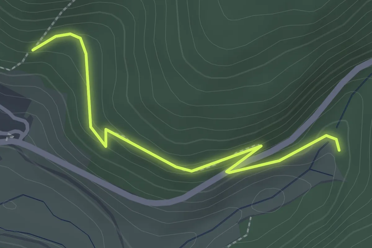
Easy · Trail
Reuthäberle - Schanzwegle
2.5 km · ↑ 120 m · 51 min
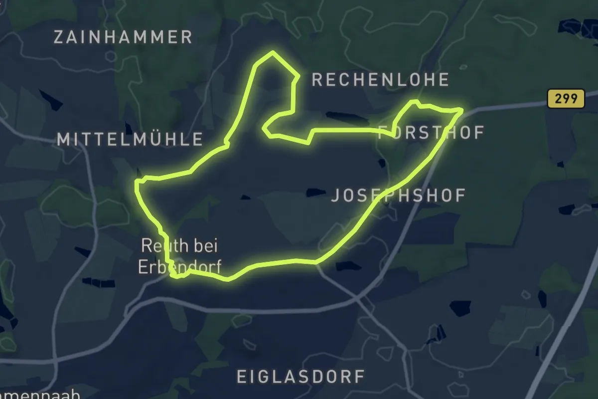
Medium · Trail
Reuther Kulturrunde
9.9 km · ↑ 95 m · 2 h 40 min
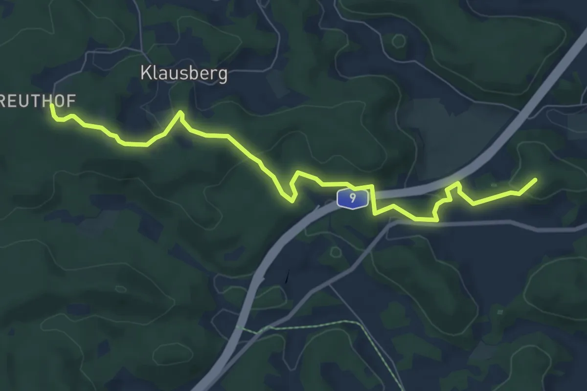
Easy · Summit
Reuthof-Plech
7.6 km · ↑ 233 m · 2 h 18 min
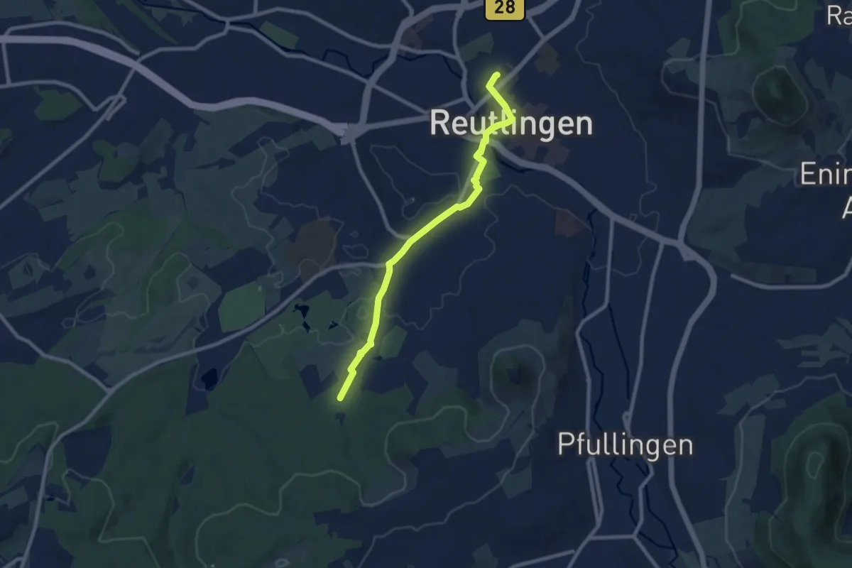
Easy · Trail
Reutlingen Bhf - Schützenhaus
7.8 km · ↑ 91 m · 2 h 2 min
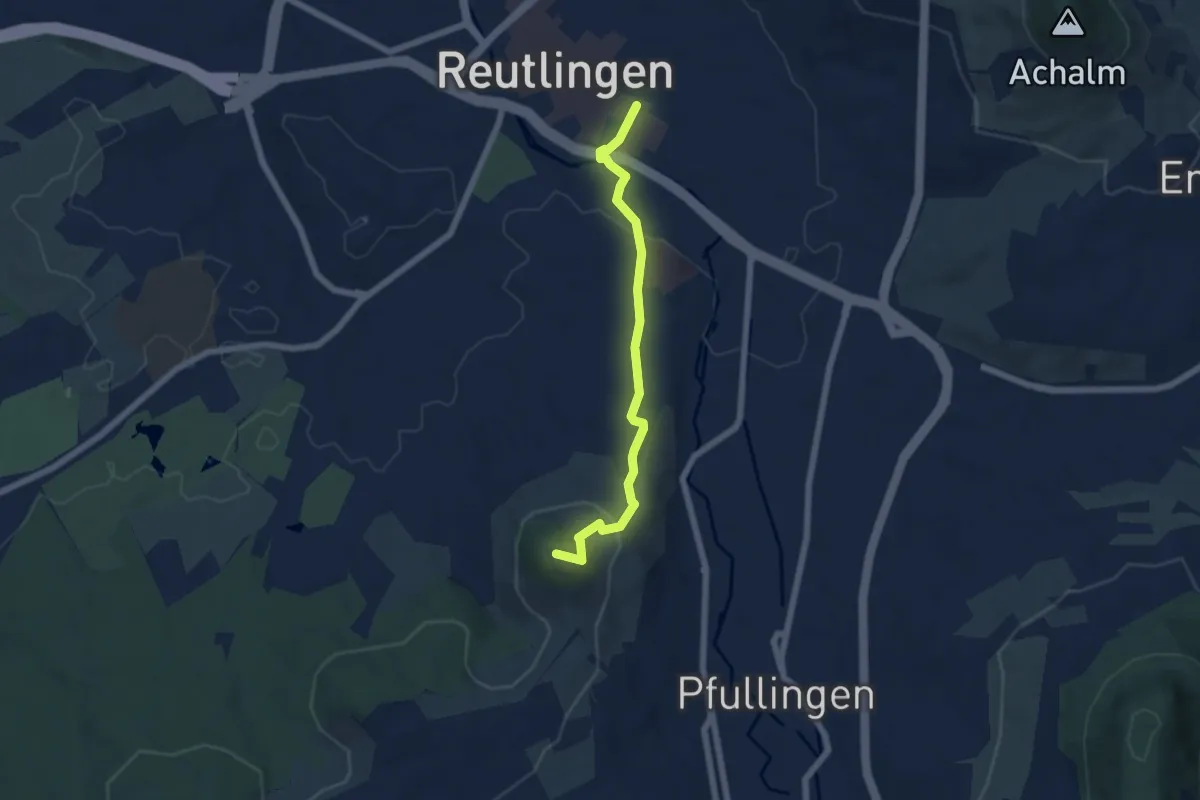
Easy · Summit
Reutlingen - Georgenberg
5.5 km · ↑ 186 m · 1 h 42 min
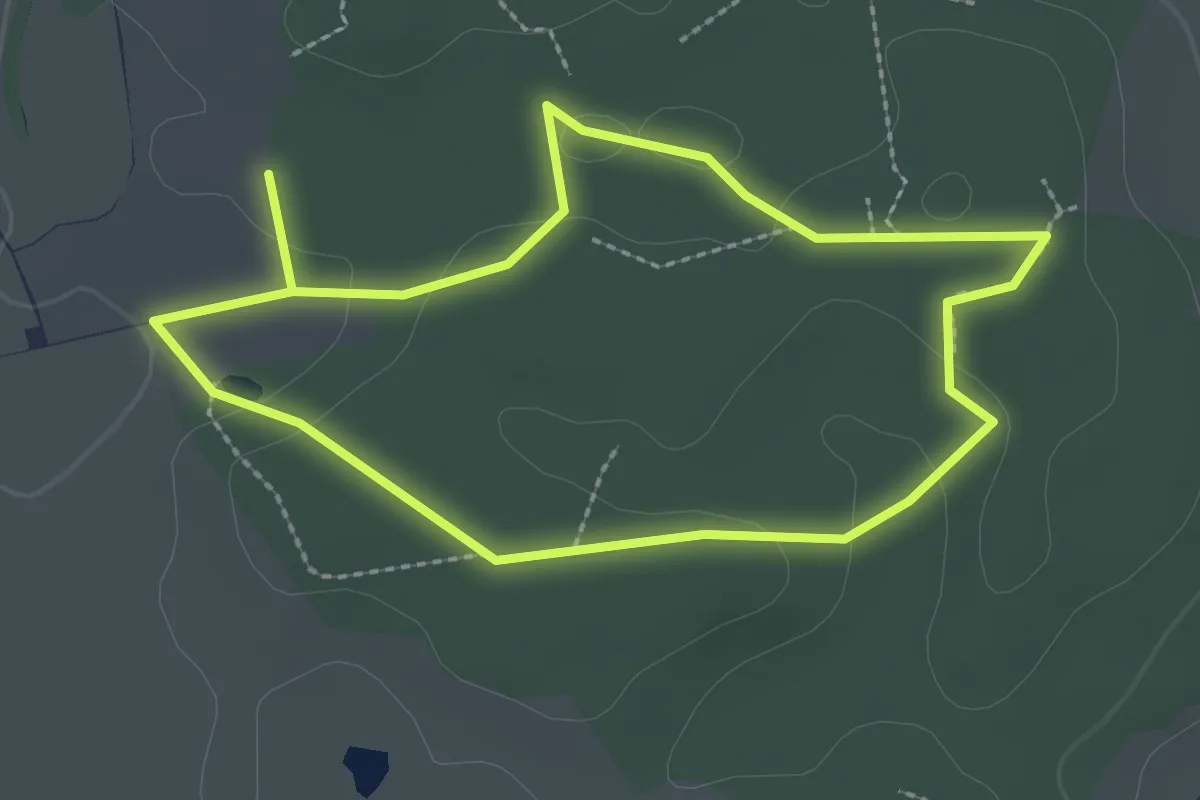
Easy · Trail
Reutwaldpfad
2.4 km · ↑ 37 m · 41 min
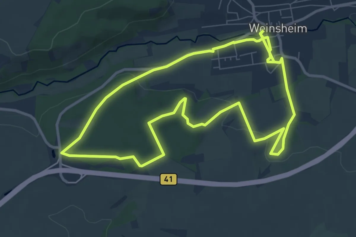
Easy · Trail
Revierrunde Weinsheim
7.0 km · ↑ 142 m · 2 h 3 min
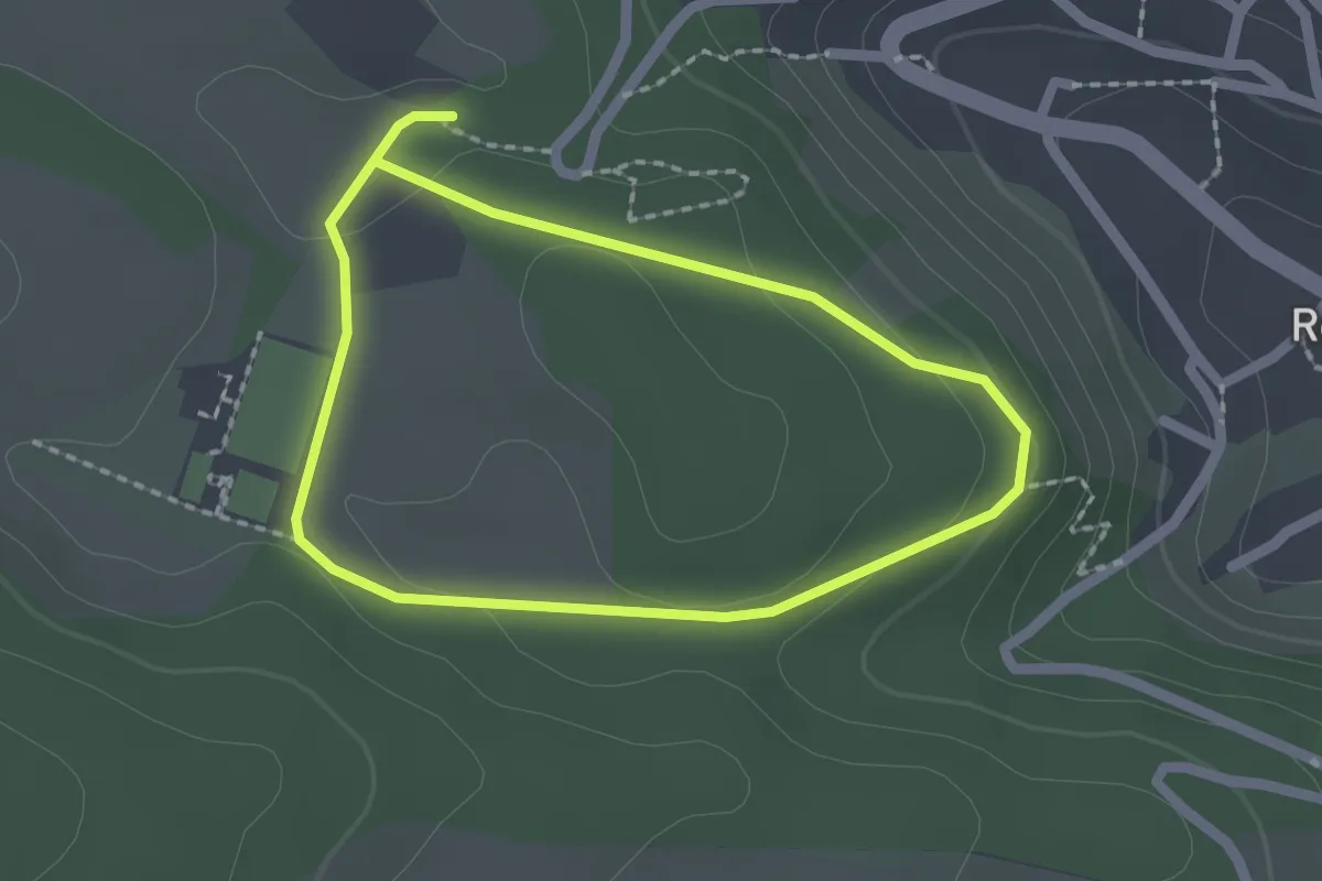
Easy · Trail
Rexipfad
1.6 km · ↑ 46 m · 31 min
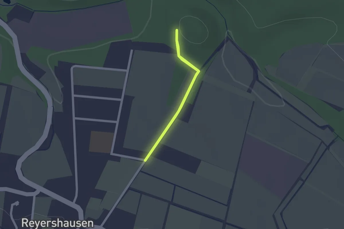
Easy · Trail
Reyershausen 1
1.2 km · ↑ 4 m · 19 min
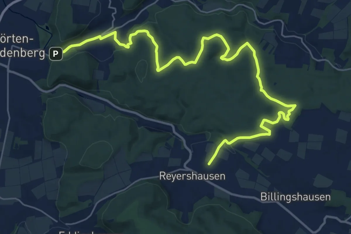
Demanding · Trail
Reyershausen 10
23.0 km · ↑ 374 m · 6 h 15 min
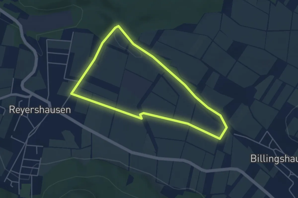
Easy · Trail
Reyershausen 2
3.6 km · ↑ 13 m · 55 min
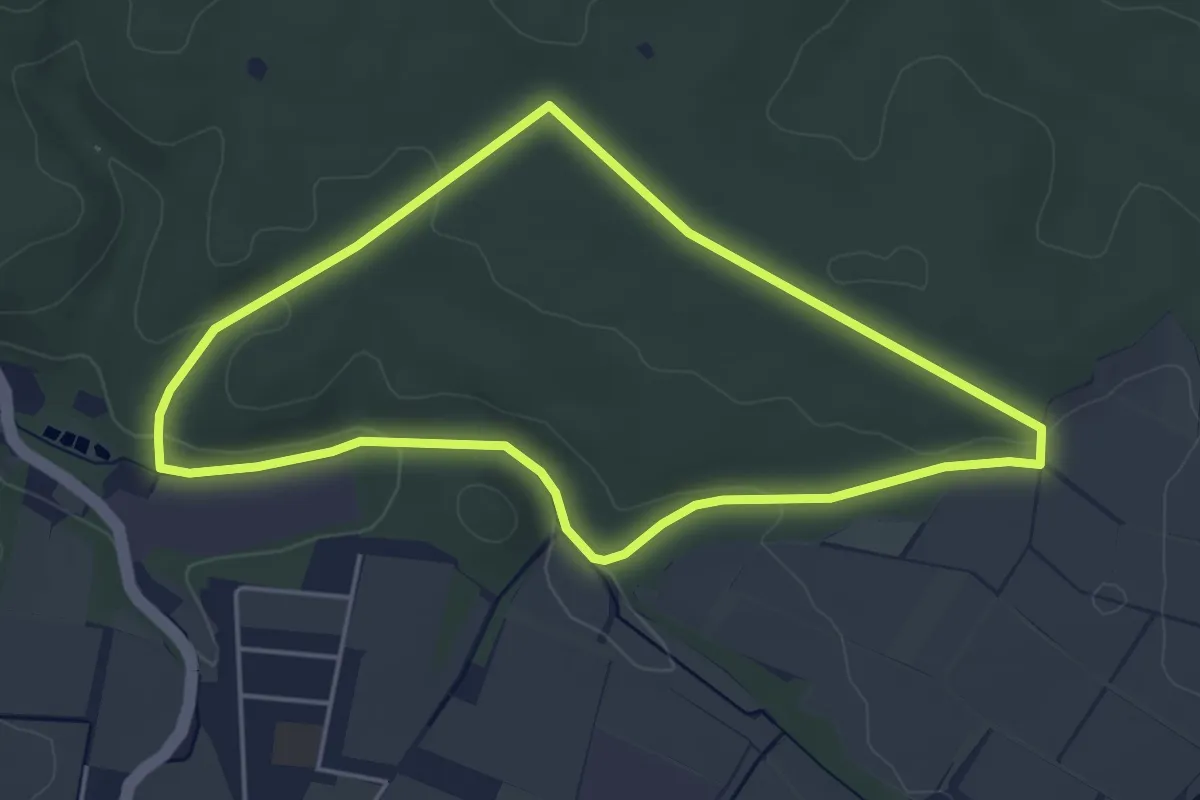
Easy · Trail
Reyershausen 3
4.1 km · ↑ 56 m · 1 h 9 min
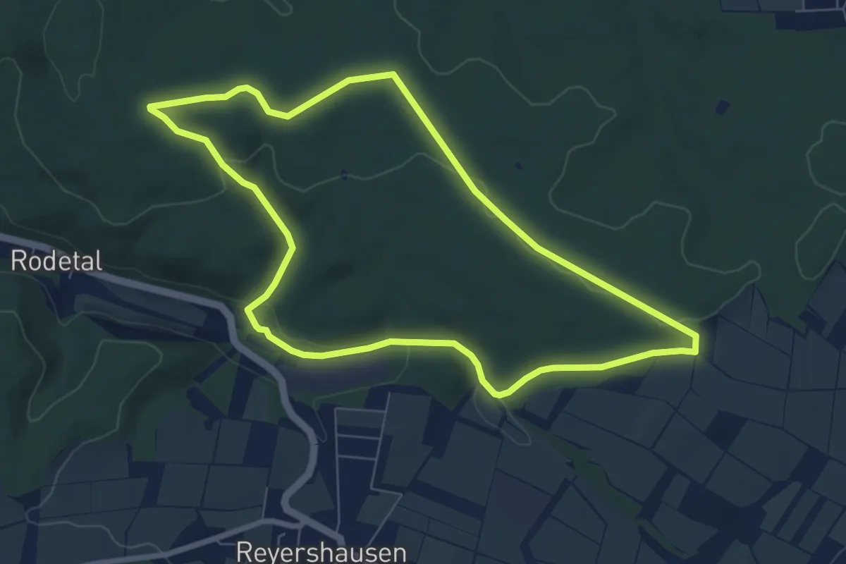
Easy · Trail
Reyershausen 4
6.3 km · ↑ 96 m · 1 h 47 min
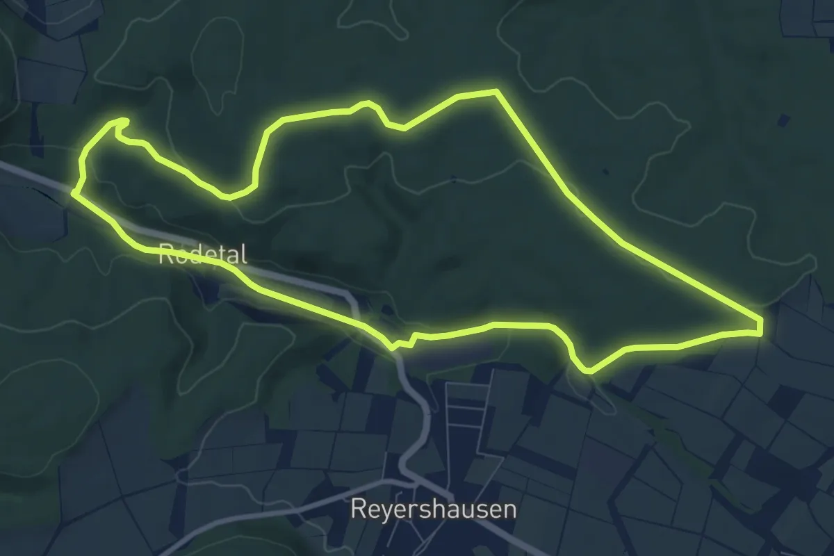
Medium · Trail
Reyershausen 5
8.5 km · ↑ 116 m · 2 h 22 min
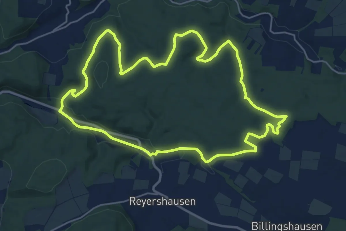
Medium · Trail
Reyershausen 6
13.2 km · ↑ 203 m · 3 h 44 min
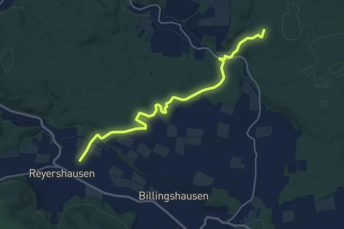
Medium · Trail
Reyershausen 7
11.7 km · ↑ 181 m · 3 h 10 min
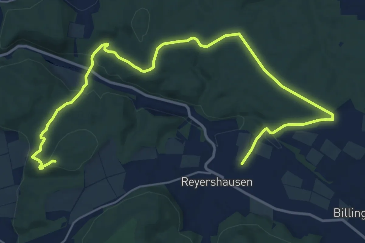
Medium · Trail
Reyershausen 8
16.7 km · ↑ 398 m · 4 h 48 min
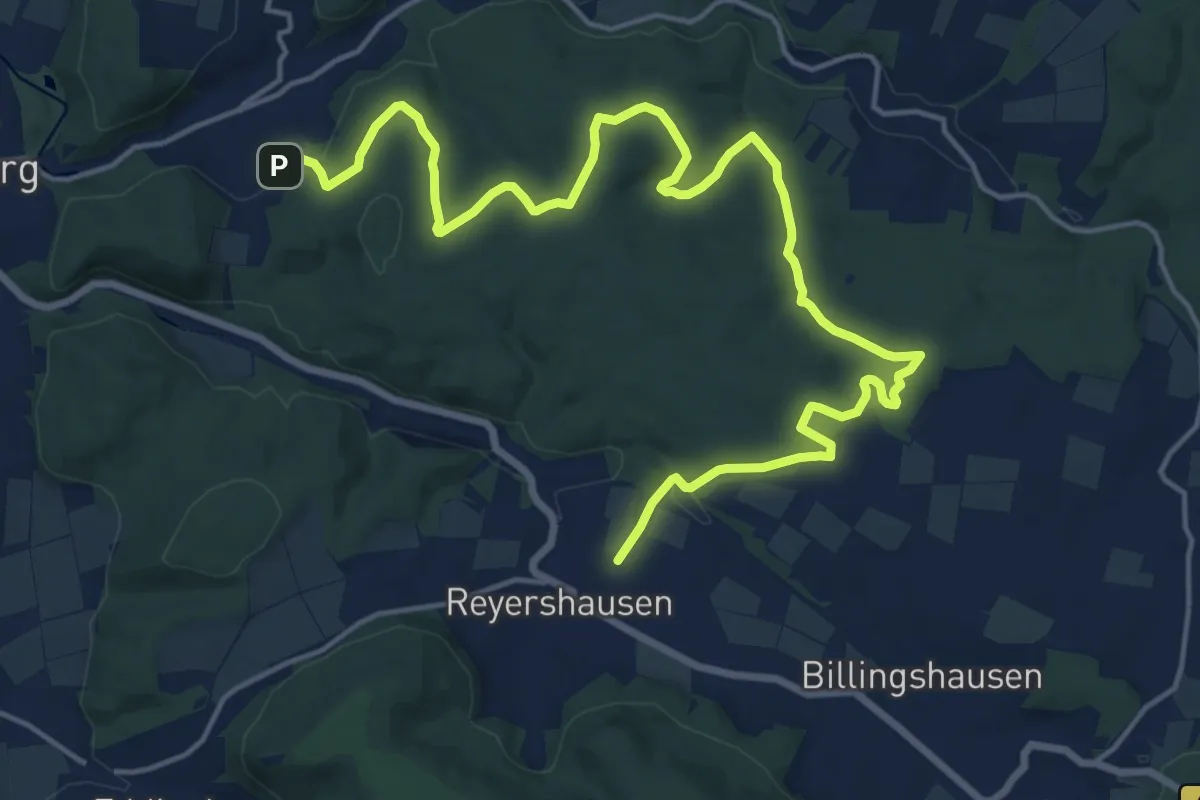
Demanding · Trail
Reyershausen 9
20.1 km · ↑ 338 m · 5 h 28 min
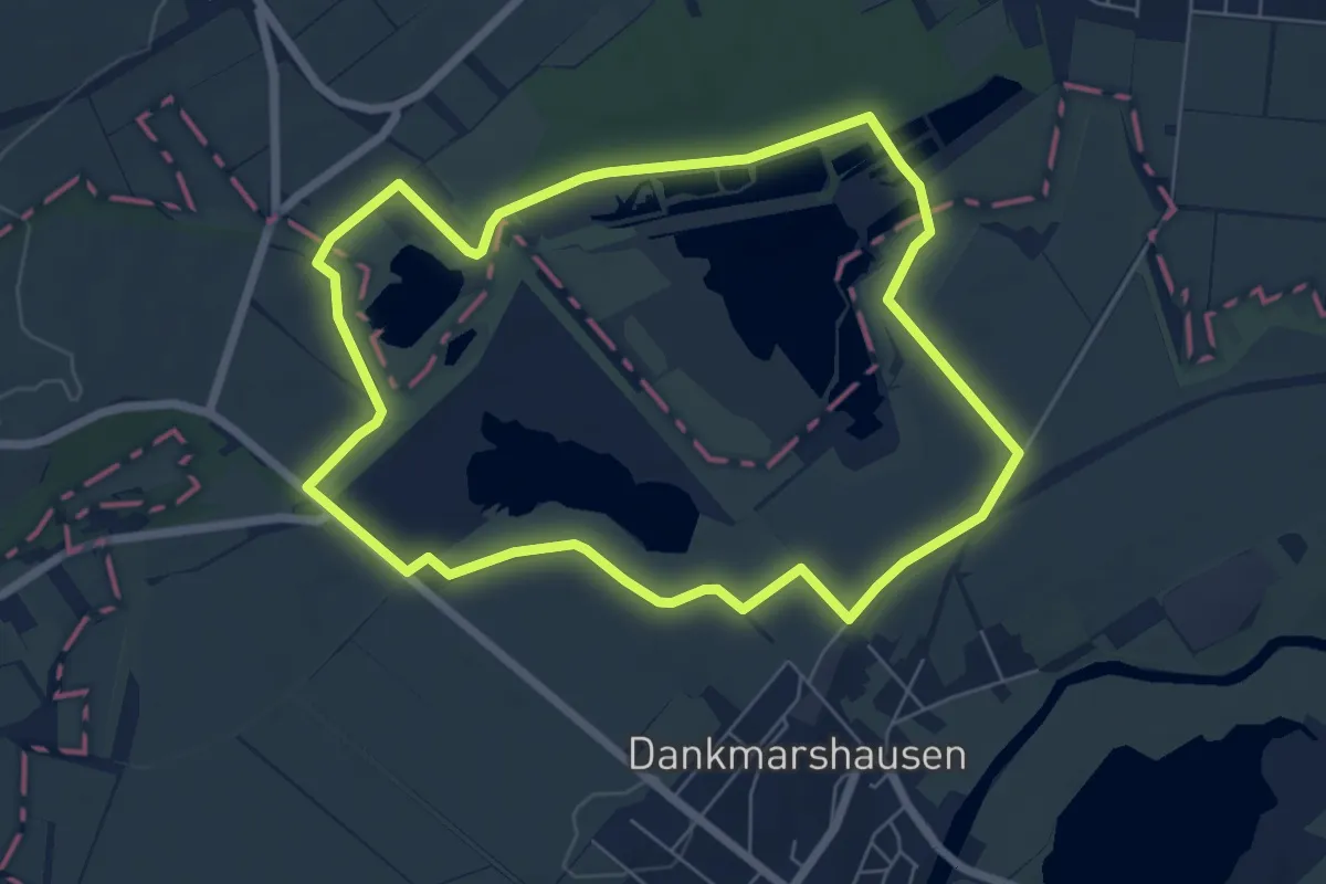
Easy · Summit
Rhäden-Rundweg
5.9 km · ↑ 9 m · 1 h 30 min
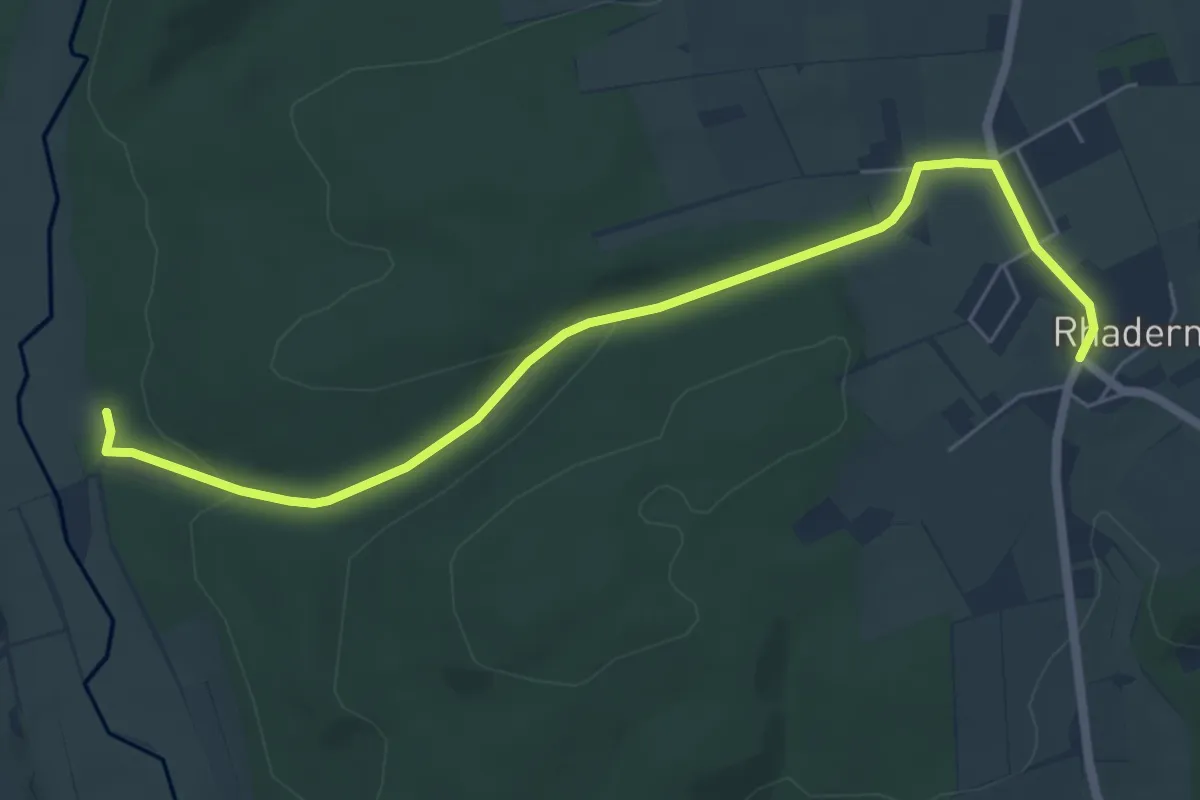
Easy · Trail
Rhadern Rundweg R2
6.0 km · ↑ 94 m · 1 h 38 min
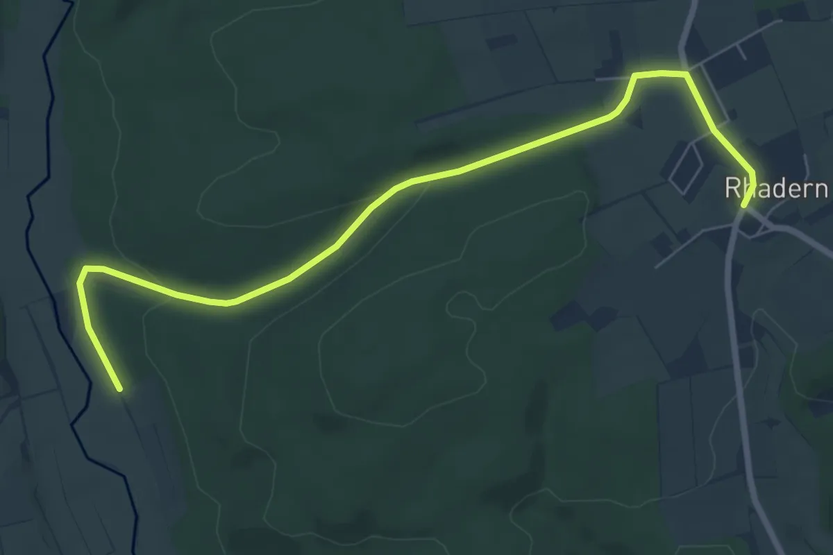
Easy · Trail
Rhadern Rundweg R3
6.8 km · ↑ 96 m · 1 h 48 min
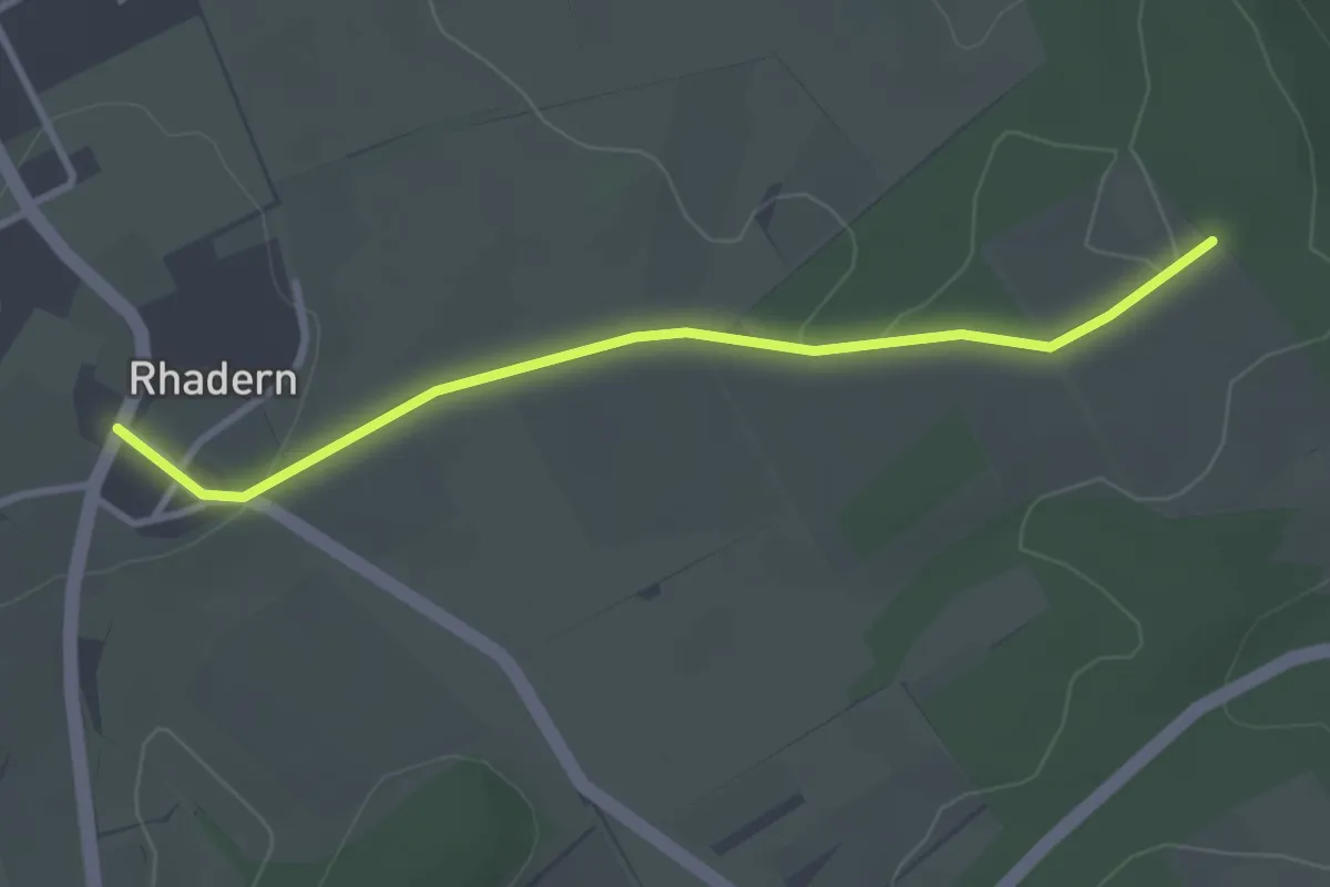
Easy · Trail
Rhadern Rundweg R4
2.8 km · ↑ 22 m · 43 min
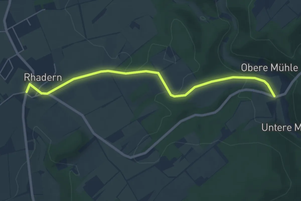
Easy · Trail
Rhadern Rundweg R5
5.0 km · ↑ 95 m · 1 h 23 min
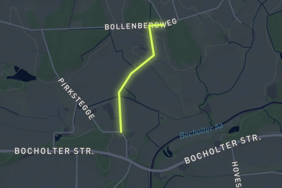
Easy · Trail
Rhedebrügge Rundweg A2
2.0 km · ↑ 9 m · 30 min
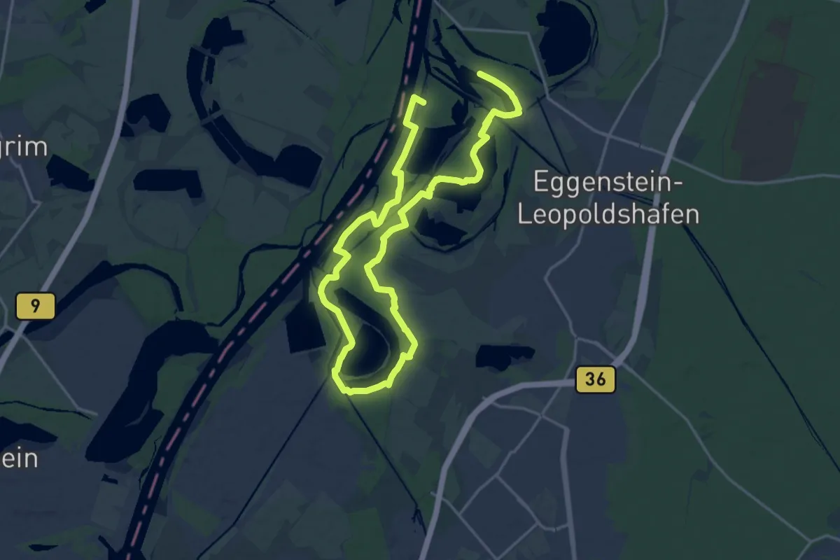
Demanding · Trail
RheinAUen-naturbeobachtungs-PfadE (RAUPE)
28.2 km · ↑ 100 m · 6 h 52 min