Trails in Germany
36,852 hiking trails, each with its route, climb, walking time and grade.
All trails, page 444 of 768
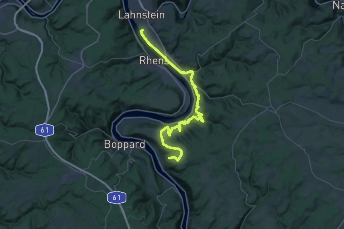
Demanding · Summit
Rhein-Camino - 1. Etappe - Jakobsweg
37.2 km · ↑ 1505 m · 12 h 3 min
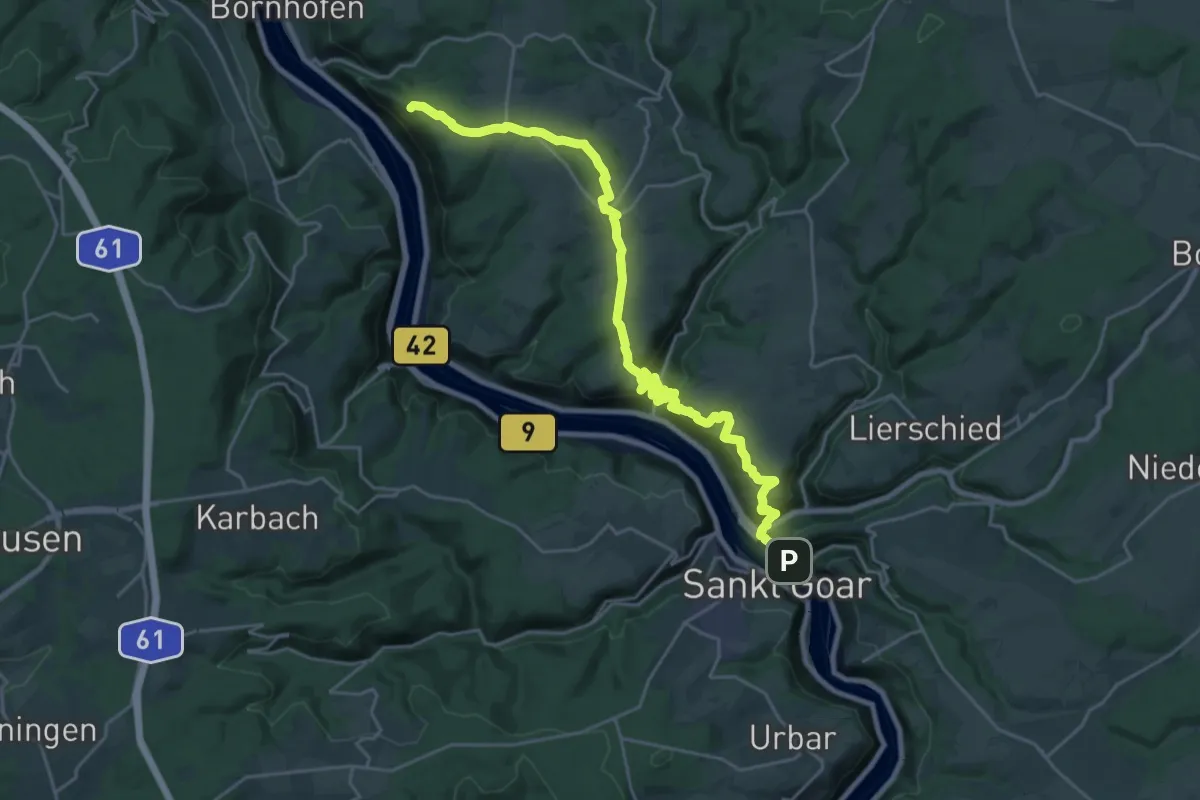
Demanding · Summit
Rhein-Camino - 2. Etappe - Jakobsweg
26.6 km · ↑ 933 m · 8 h 18 min
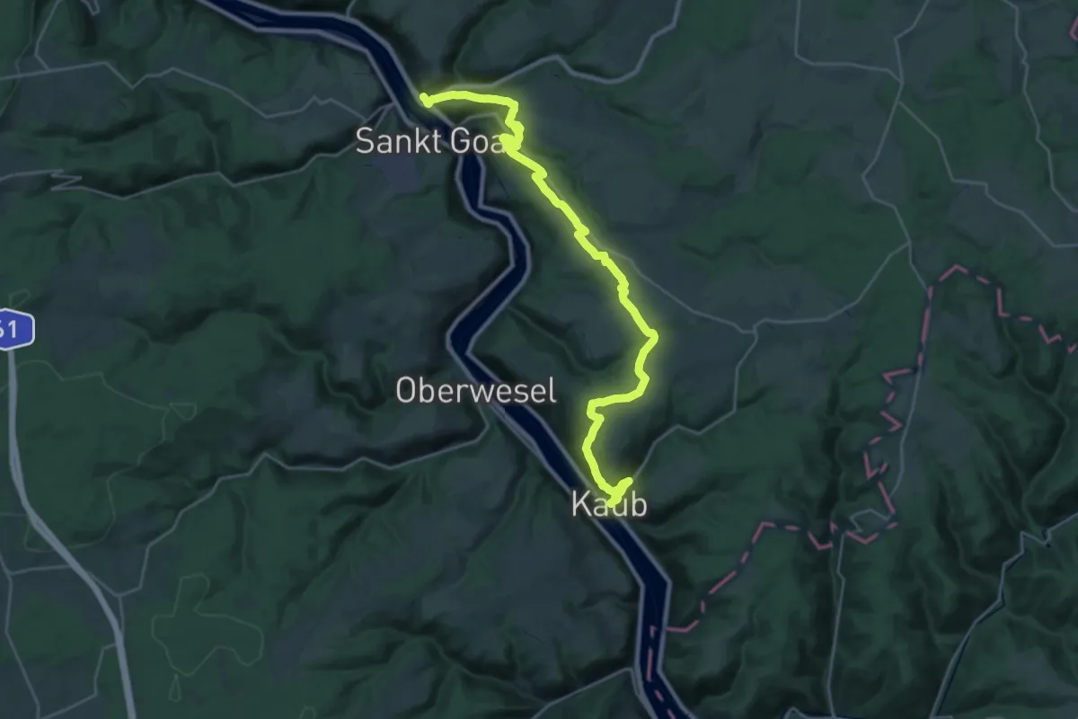
Demanding · Summit
Rhein-Camino - 3. Etappe - Jakobsweg
28.7 km · ↑ 788 m · 8 h 29 min
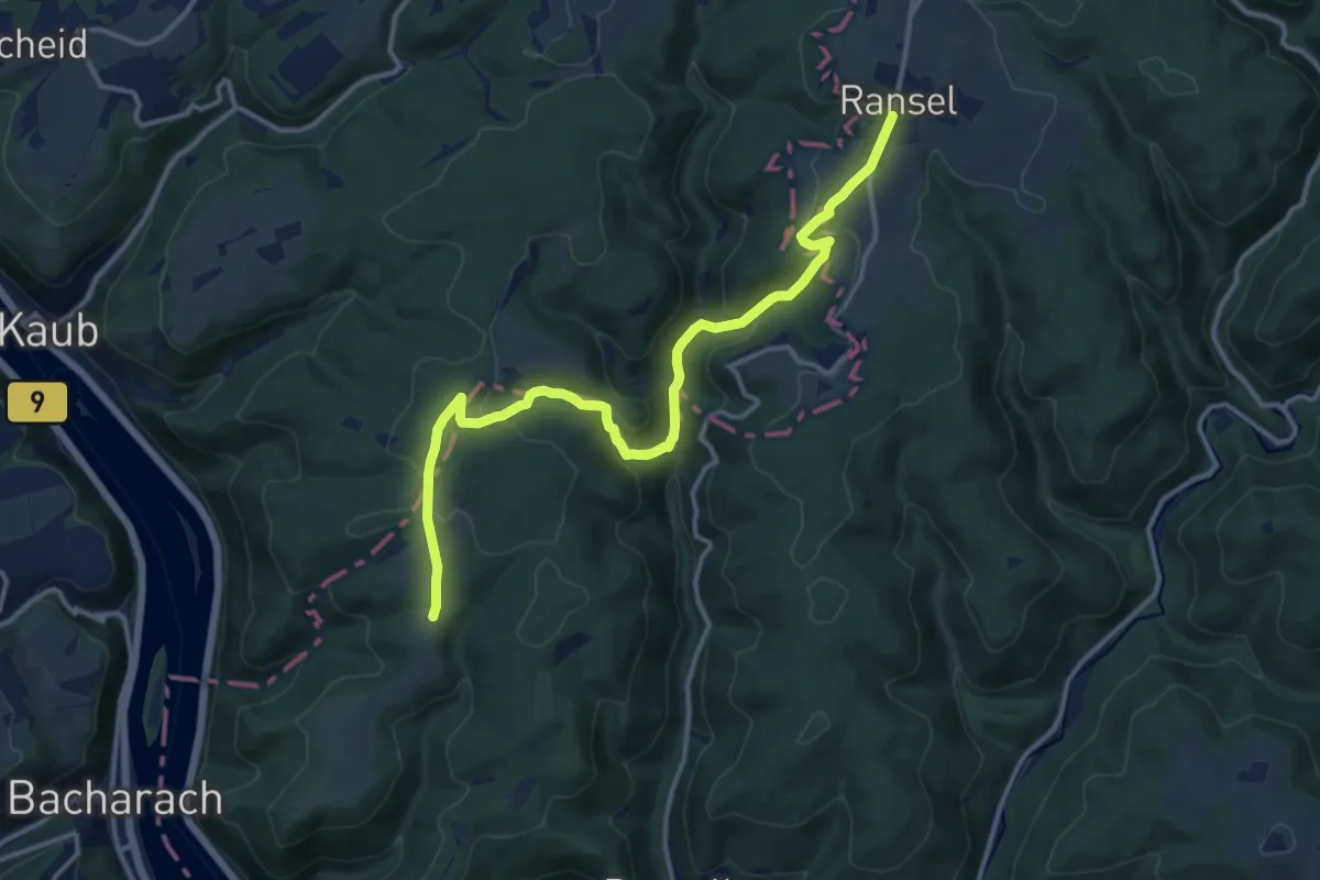
Medium · Trail
Rheingauer Gebück-Wanderweg
13.5 km · ↑ 480 m · 4 h 13 min
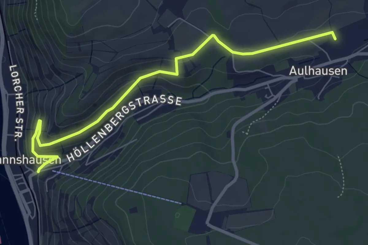
Easy · Trail
Rheingauer Klostersteig Zuweg Assmannshausen
6.1 km · ↑ 191 m · 1 h 52 min
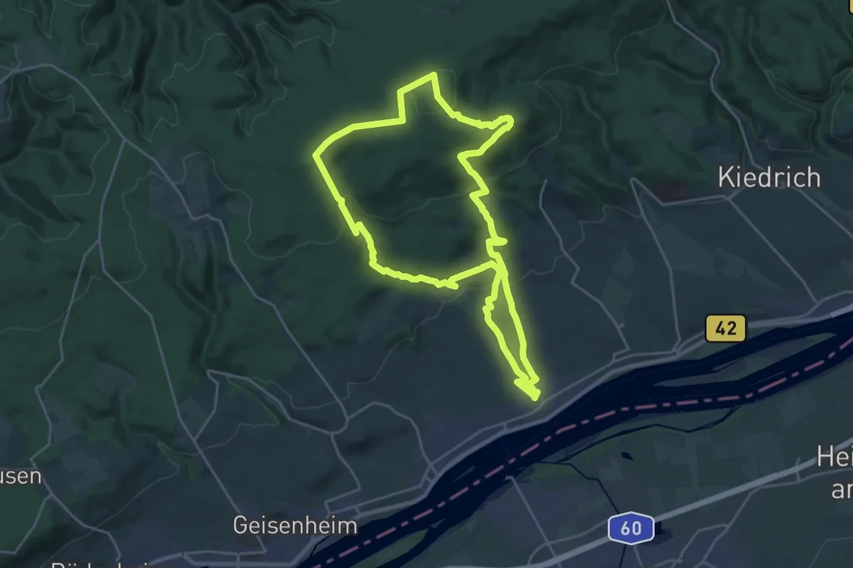
Demanding · Summit
Rheingausport Tour Gipfelbuch
19.6 km · ↑ 588 m · 6 h 10 min
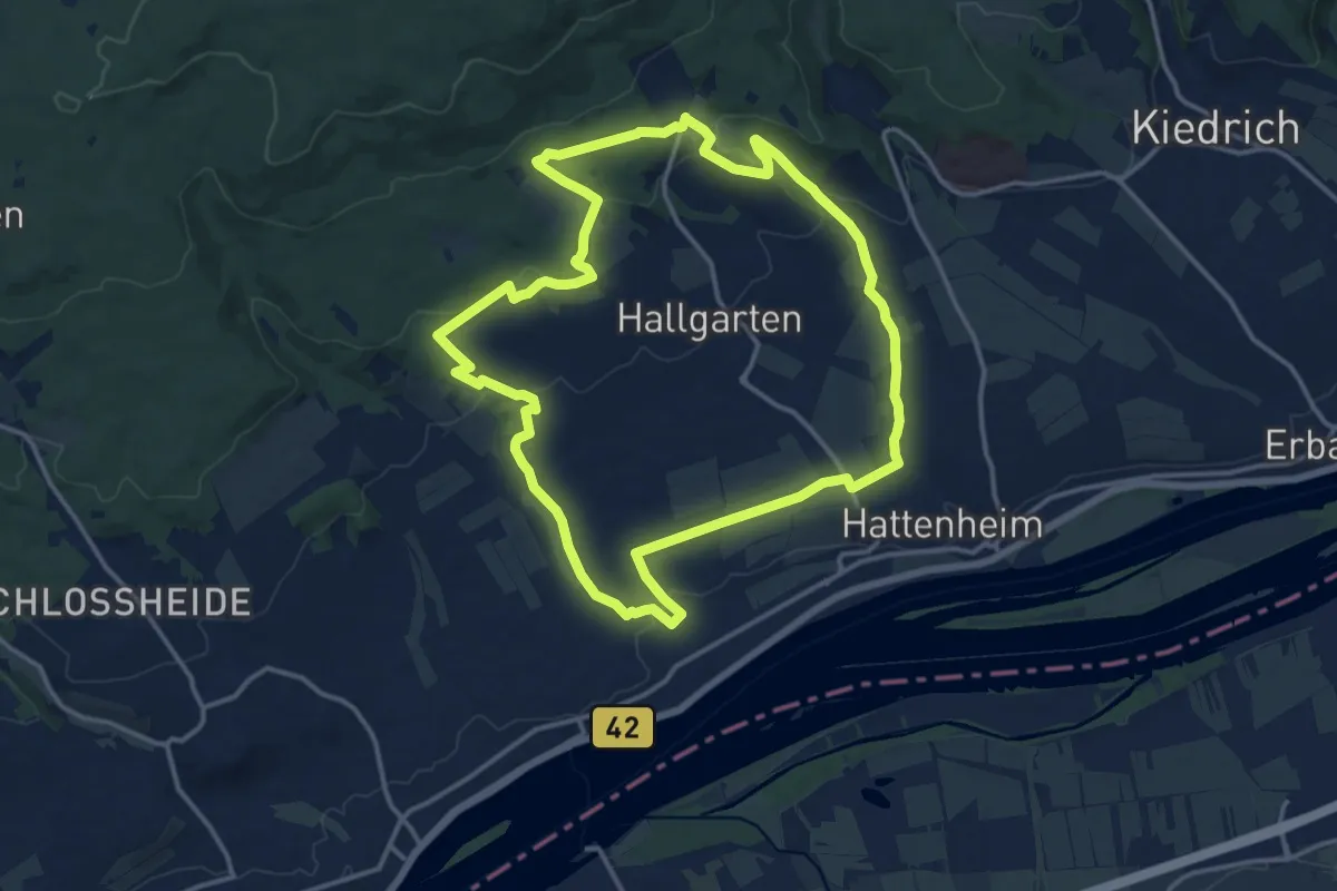
Medium · Summit
Rheingausport Tour Hendelberg
13.9 km · ↑ 345 m · 4 h 13 min
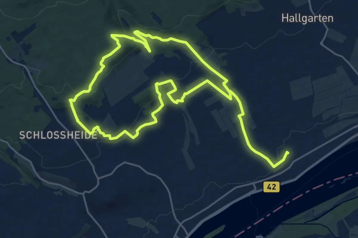
Medium · Trail
Rheingausport Tour Honigberg
12.5 km · ↑ 347 m · 3 h 52 min
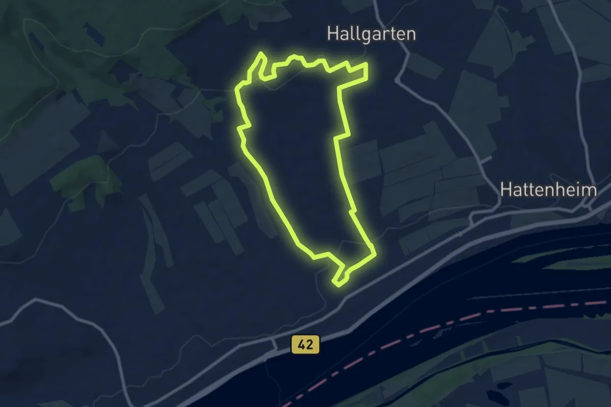
Easy · Trail
Rheingausport Tour Piffche
7.2 km · ↑ 139 m · 2 h 6 min
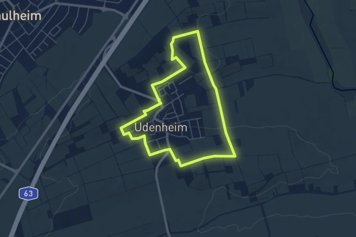
Easy · Trail
Rheinhessenblick
4.6 km · ↑ 80 m · 1 h 19 min
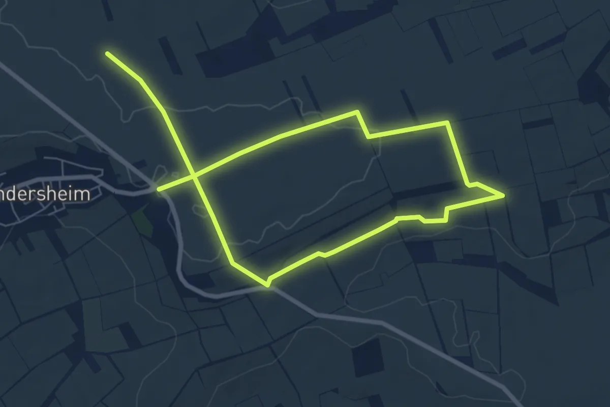
Medium · Trail
Rheinhessische Erde
10.3 km · ↑ 118 m · 2 h 41 min
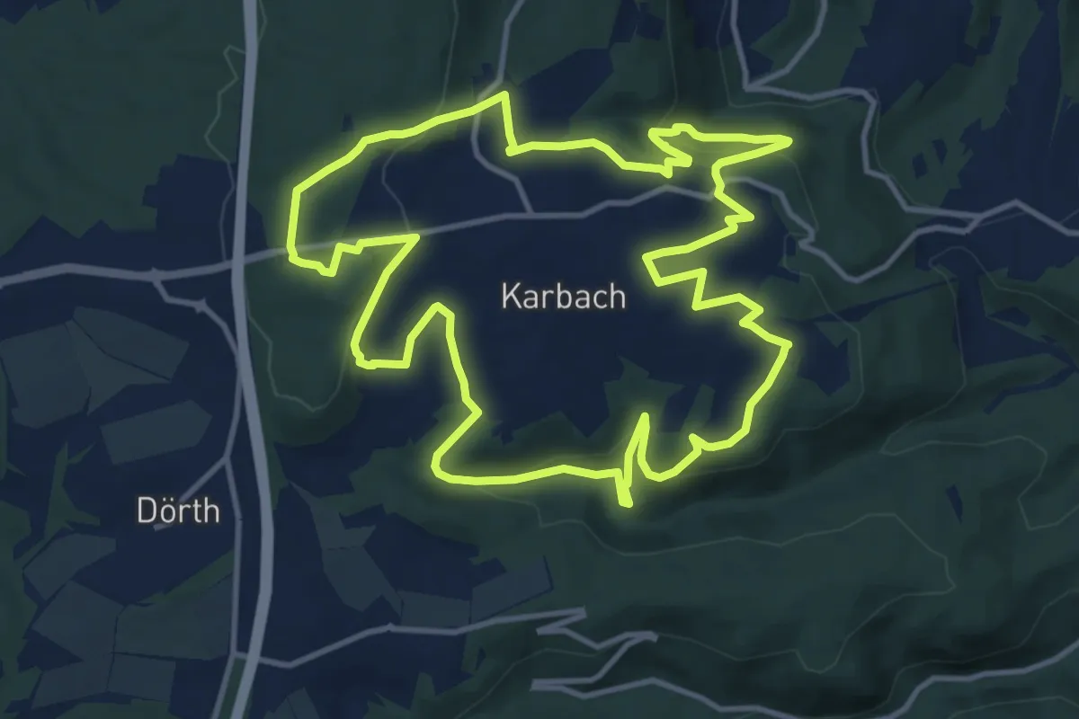
Demanding · Summit
Rheinhöhentour St. Quintin
11.8 km · ↑ 344 m · 3 h 42 min
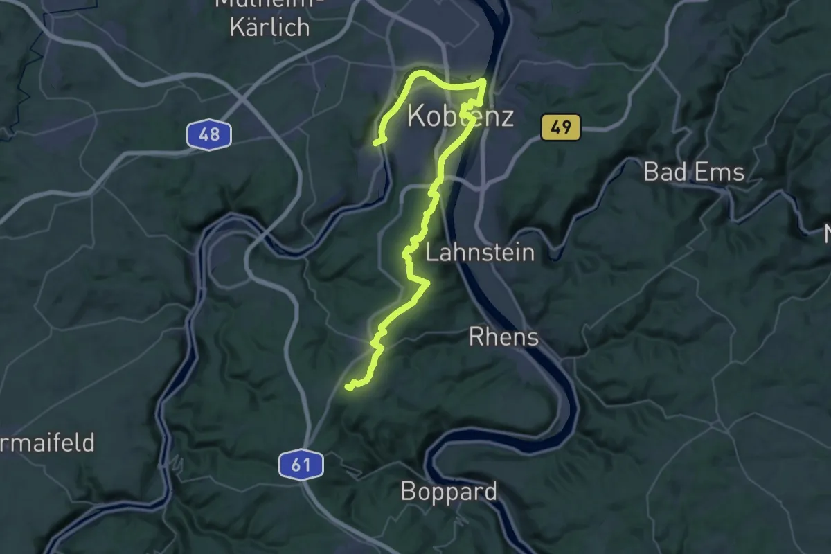
Demanding · Summit
Rheinhöhenweg 5. Etappe Koblenz - Boppard (lrh.)
44.2 km · ↑ 691 m · 11 h 56 min
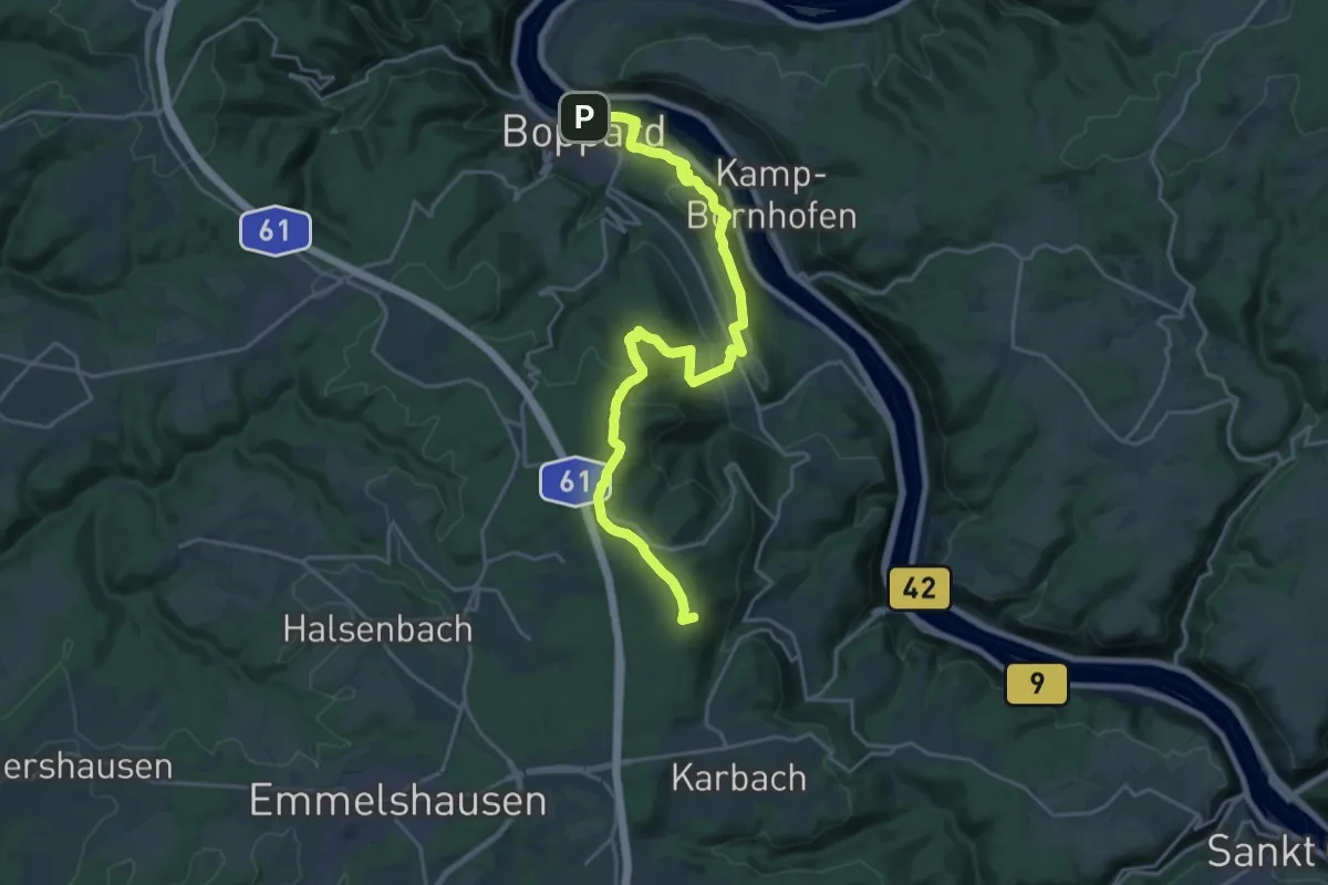
Demanding · Summit
Rheinhöhenweg 6. Etappe Boppard - Oberwesel (lrh.)
23.1 km · ↑ 711 m · 7 h
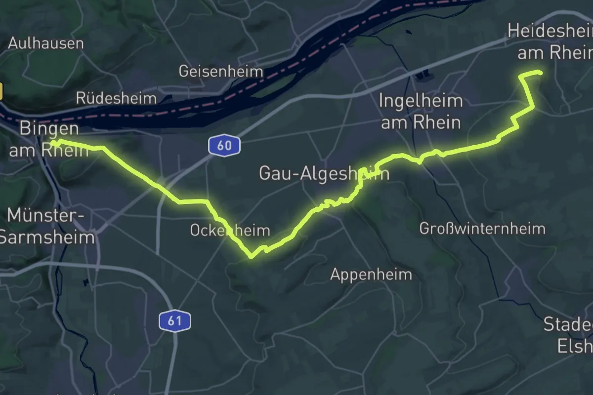
Demanding · Summit
Rheinhöhenweg 8. Etappe Bingen - Heidesheim (lrh.)
44.9 km · ↑ 991 m · 12 h 45 min
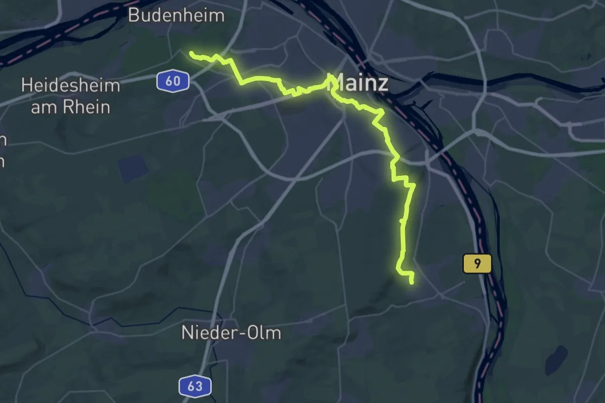
Demanding · Summit
Rheinhöhenweg 9. Etappe Heidesheim - Bodenheim (lrh.)
40.2 km · ↑ 431 m · 10 h 25 min
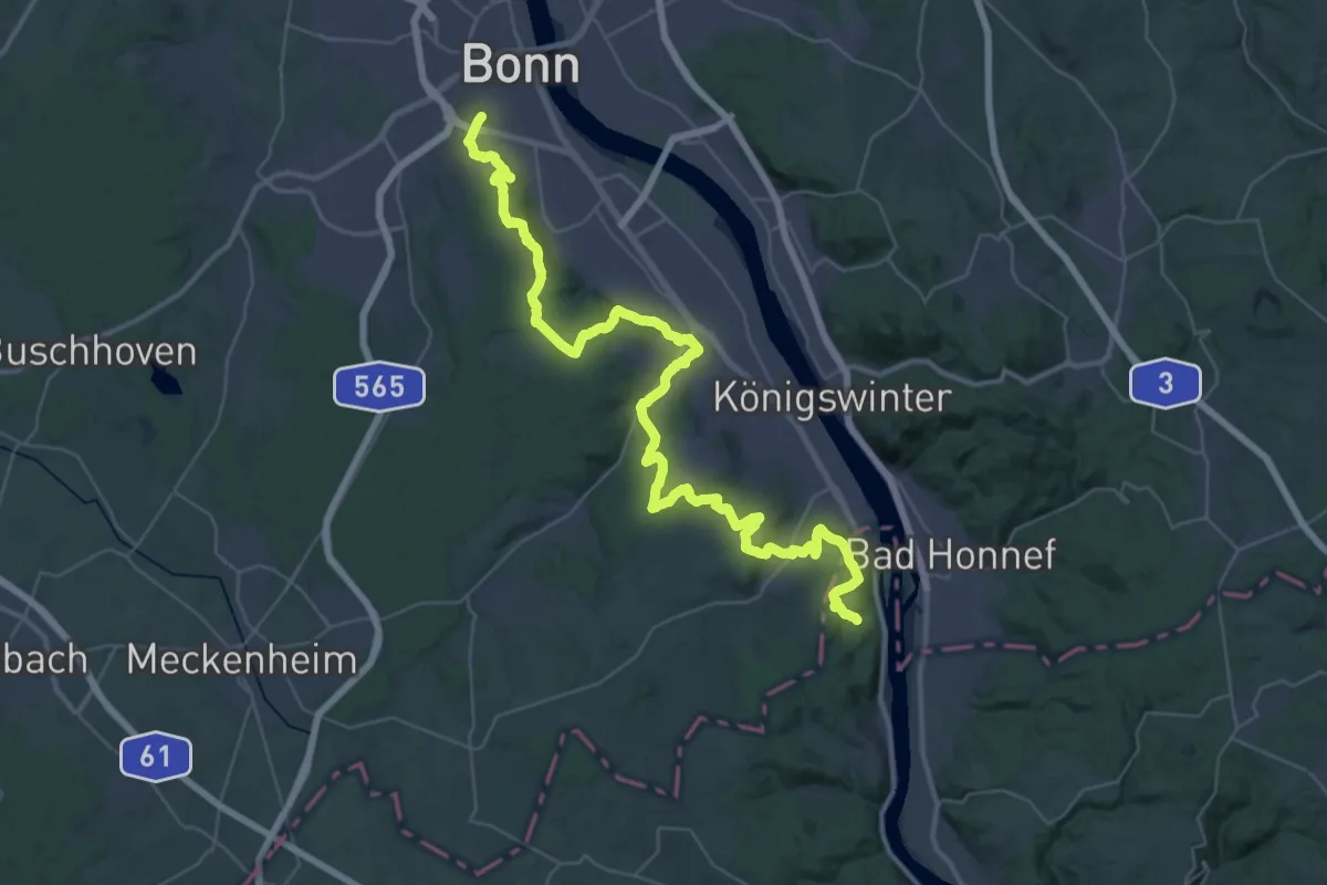
Demanding · Trail
Rheinhöhenweg Bonn - Koblenz (lrh. - Eifel)
24.0 km · ↑ 451 m · 6 h 57 min
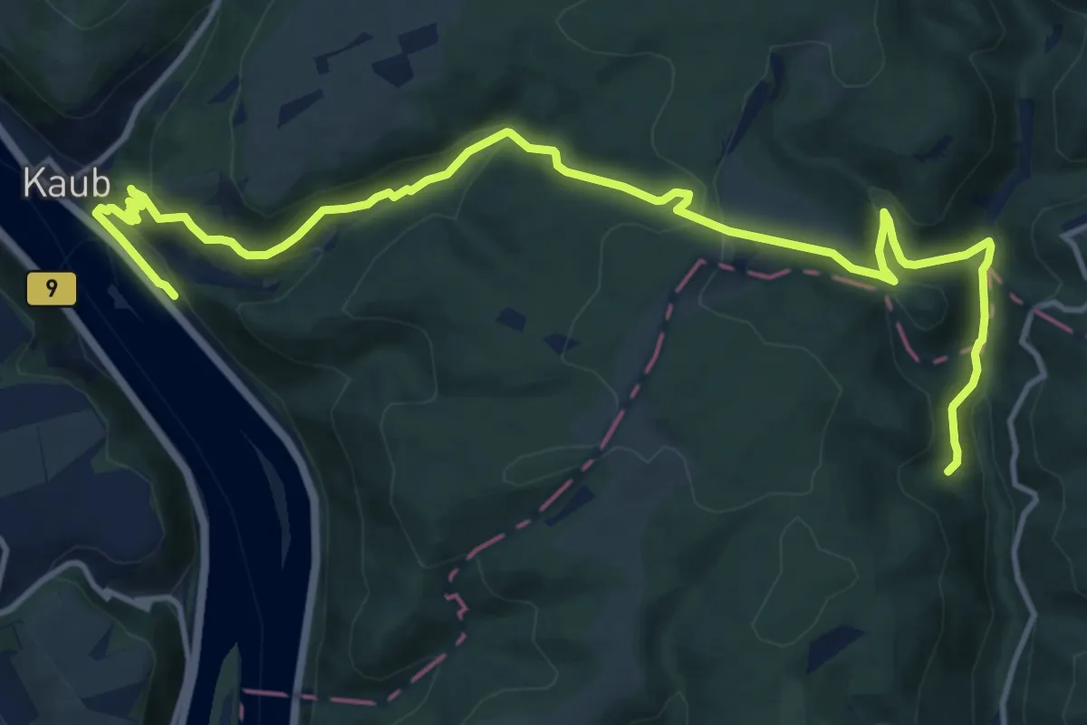
Medium · Trail
Rheinhöhenweg Kaub-Wiesbaden (rrh.-Taunus)
14.9 km · ↑ 628 m · 4 h 53 min
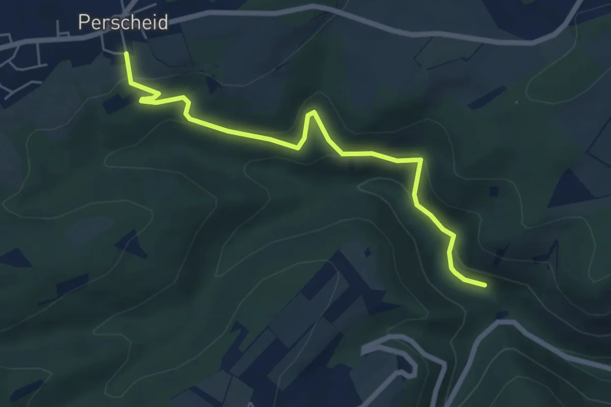
Easy · Trail
Rheinhöhenweg Variante
4.9 km · ↑ 229 m · 1 h 39 min
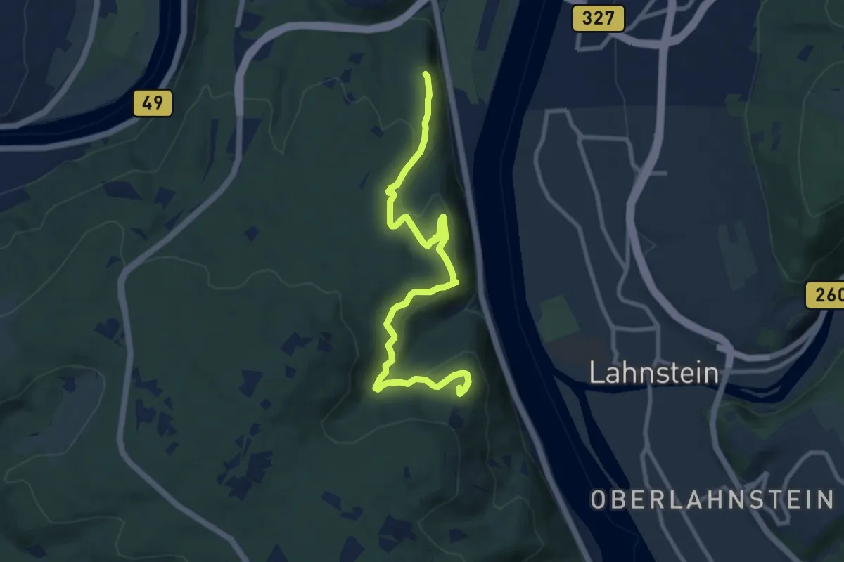
Medium · Summit
Rheinhöhenweg-Verbindungsweg Koblenz [linksrheinisch]
8.7 km · ↑ 378 m · 2 h 52 min
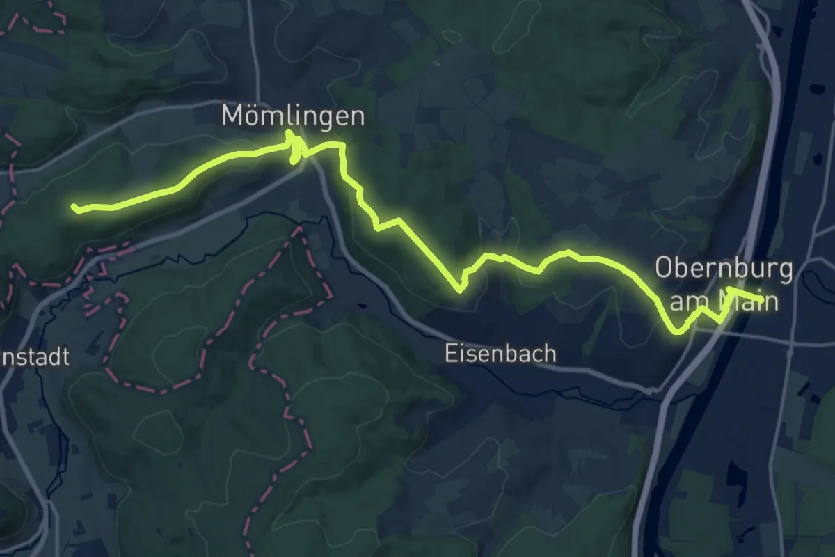
Demanding · Summit
Rhein-Main-Weg
21.0 km · ↑ 592 m · 6 h 14 min
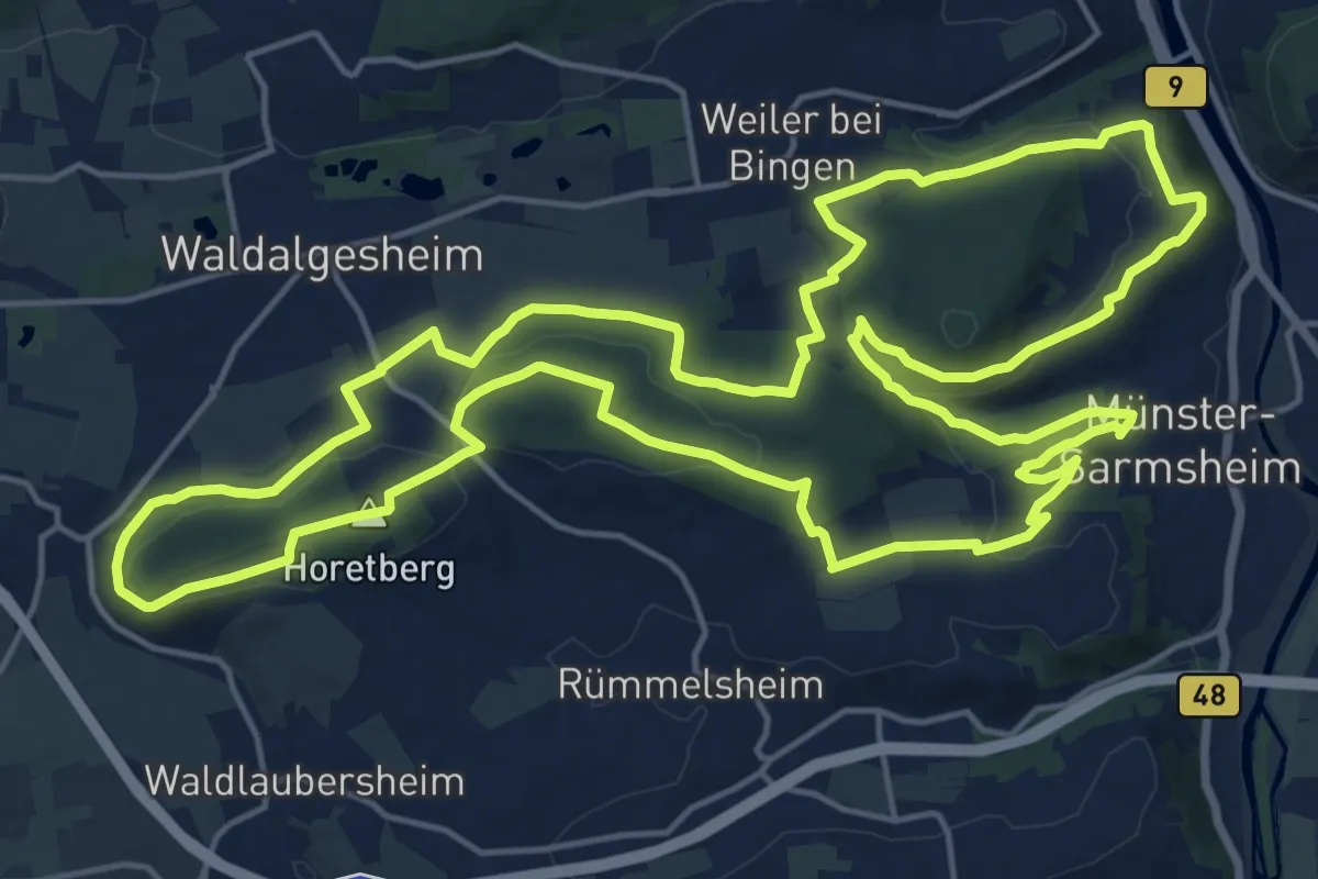
Demanding · Summit
Rhein-Nahe-Schleife
19.3 km · ↑ 401 m · 5 h 42 min
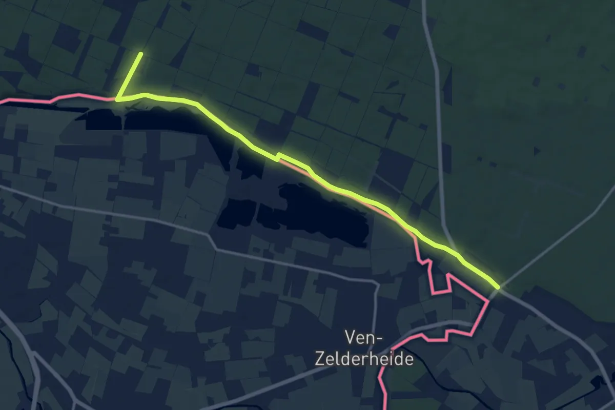
Medium · Trail
Rhein-Niers-Fleuth-Weg
11.9 km · ↑ 46 m · 2 h 55 min
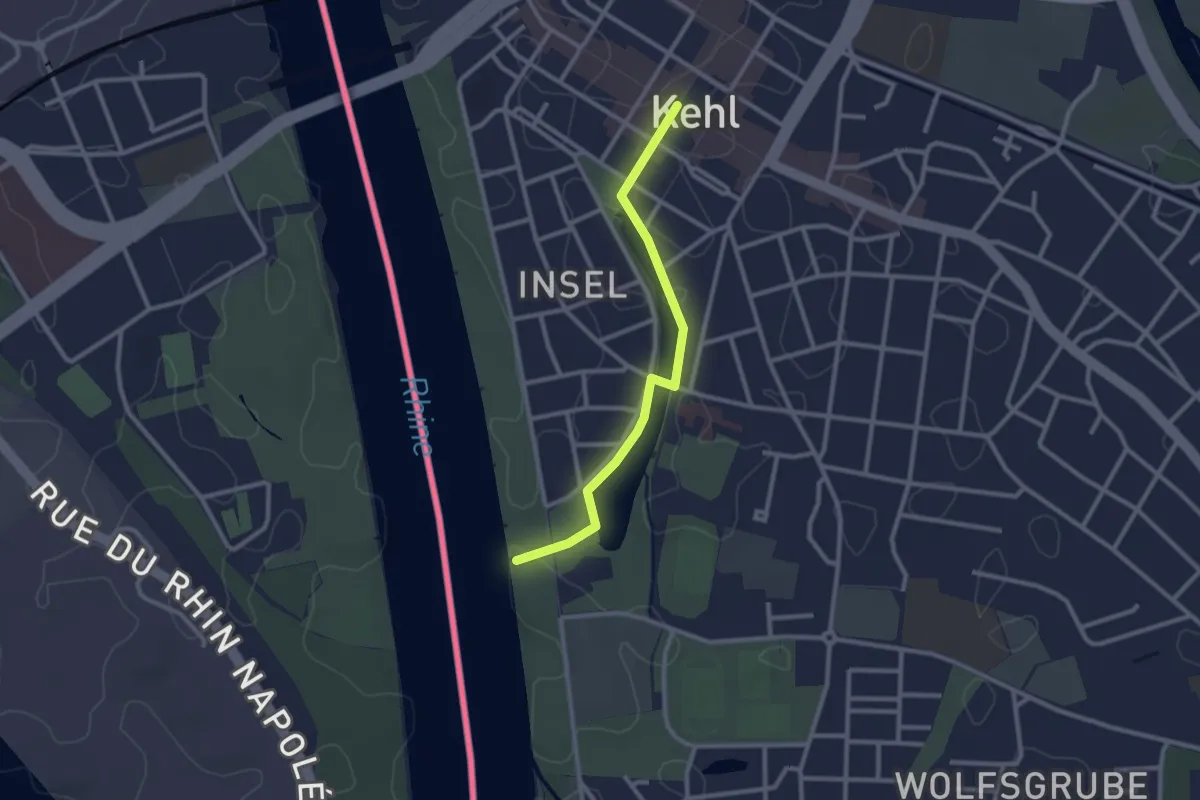
Easy · Trail
Rheinpromenade - Kehl Marktplatz
2.4 km · ↑ 5 m · 35 min
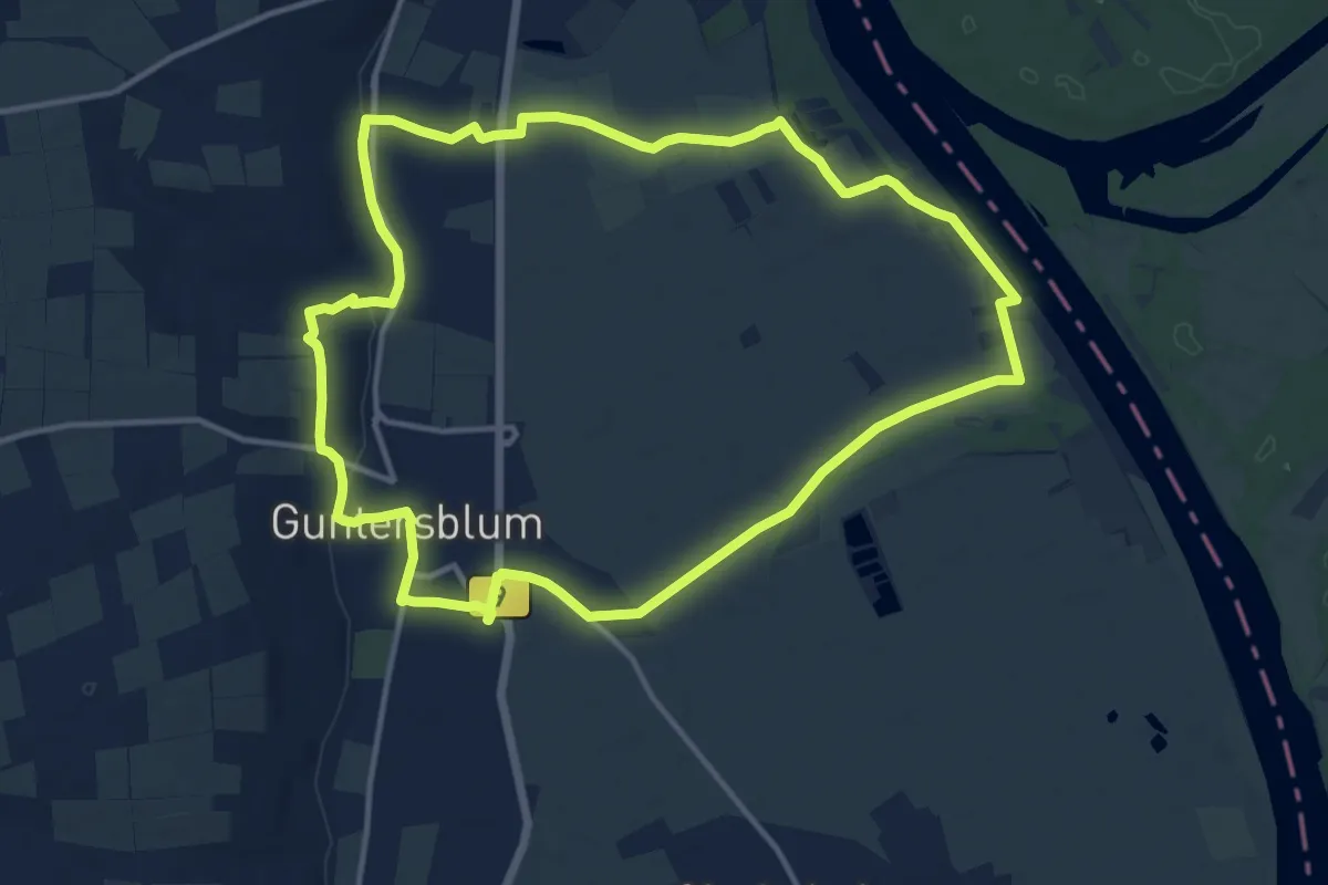
Medium · Trail
RheinRömerWeg
12.6 km · ↑ 74 m · 3 h 18 min
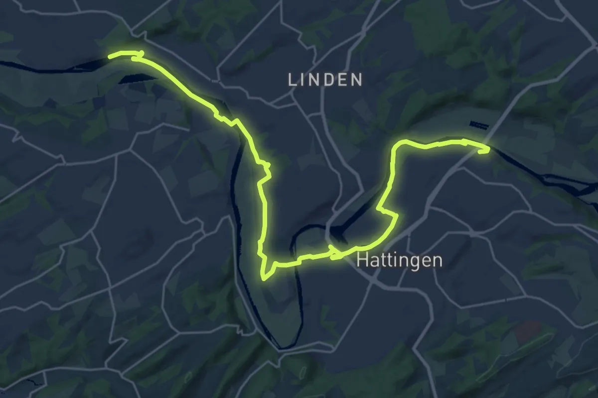
Demanding · Trail
Rhein-Ruhr-Emscherweg
25.1 km · ↑ 119 m · 6 h 11 min
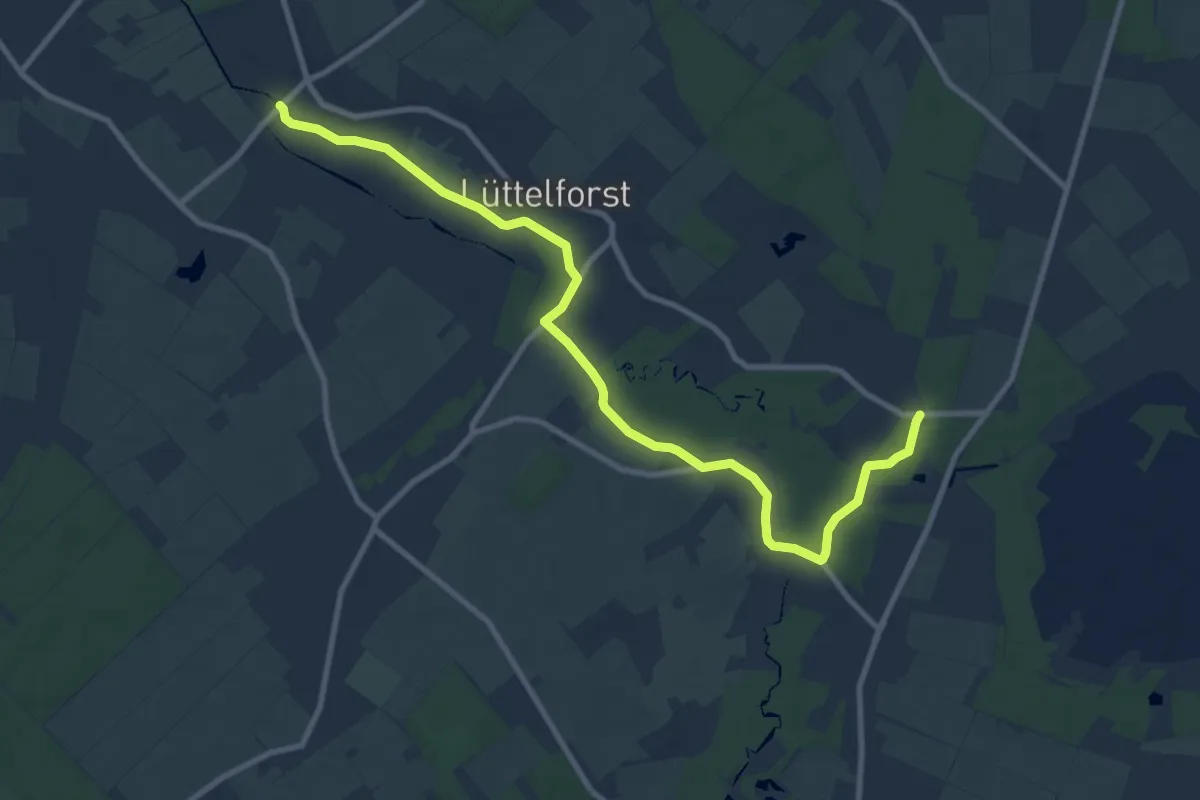
Medium · Trail
Rhein-Schwalm-Weg
10.1 km · ↑ 27 m · 2 h 27 min
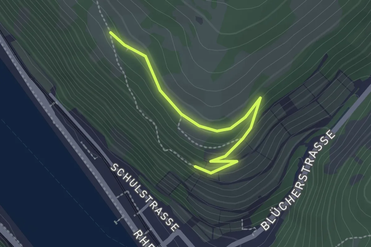
Easy · Trail
Rheinsteig-Alternative Kaub Nord
2.2 km · ↑ 73 m · 41 min
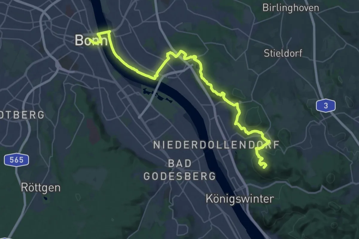
Demanding · Summit
Rheinsteig Etappe 01 [Bonn - Königswinter]
32.3 km · ↑ 704 m · 9 h 9 min
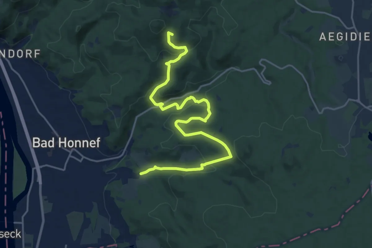
Medium · Summit
Rheinsteig Etappe 02 [Königswinter - Bad Honnef]
14.7 km · ↑ 574 m · 4 h 43 min
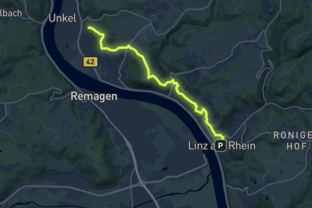
Medium · Summit
Rheinsteig Etappe 03 [Bad Honnef - Linz]
14.2 km · ↑ 555 m · 4 h 34 min
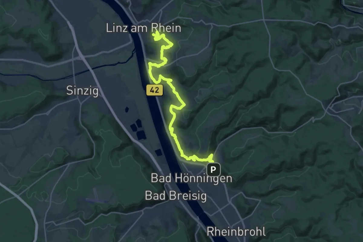
Demanding · Summit
Rheinsteig Etappe 04 [Linz - Bad Hönningen]
23.3 km · ↑ 832 m · 7 h 18 min
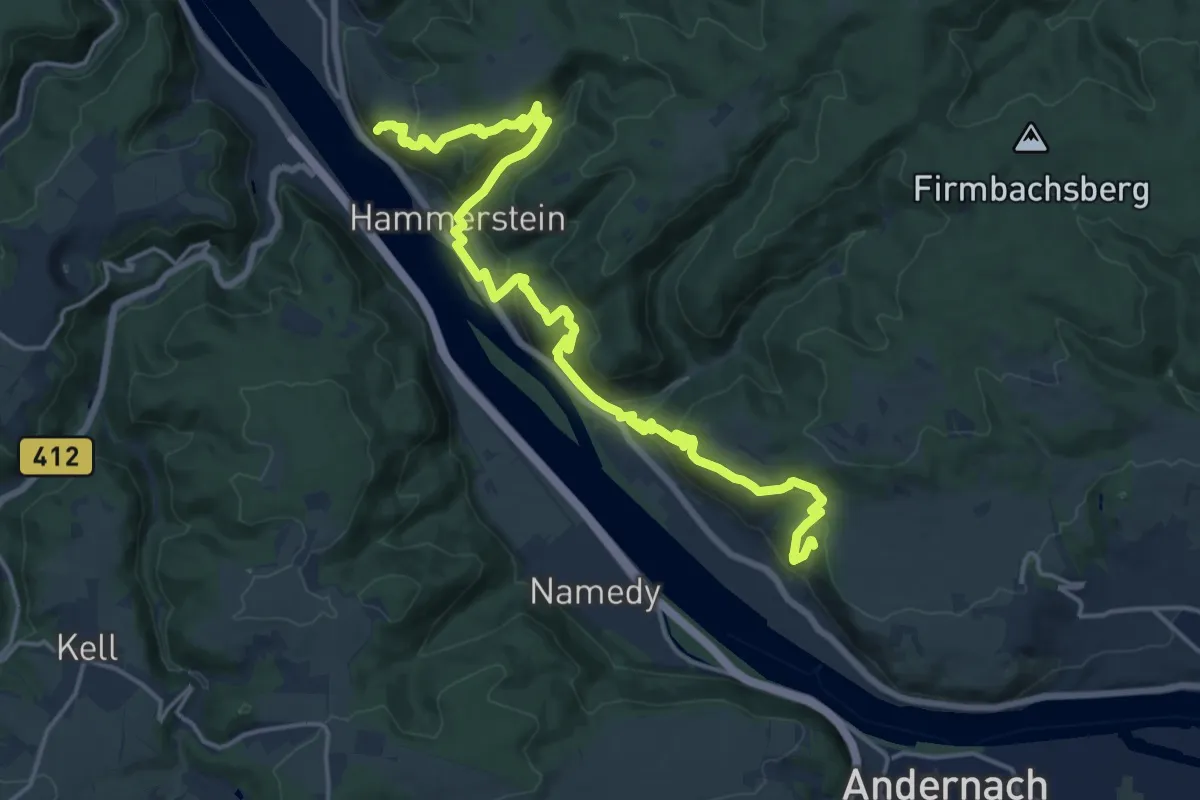
Demanding · Summit
Rheinsteig Etappe 05 [Bad Hönningen - Leutesdorf]
19.5 km · ↑ 949 m · 6 h 39 min
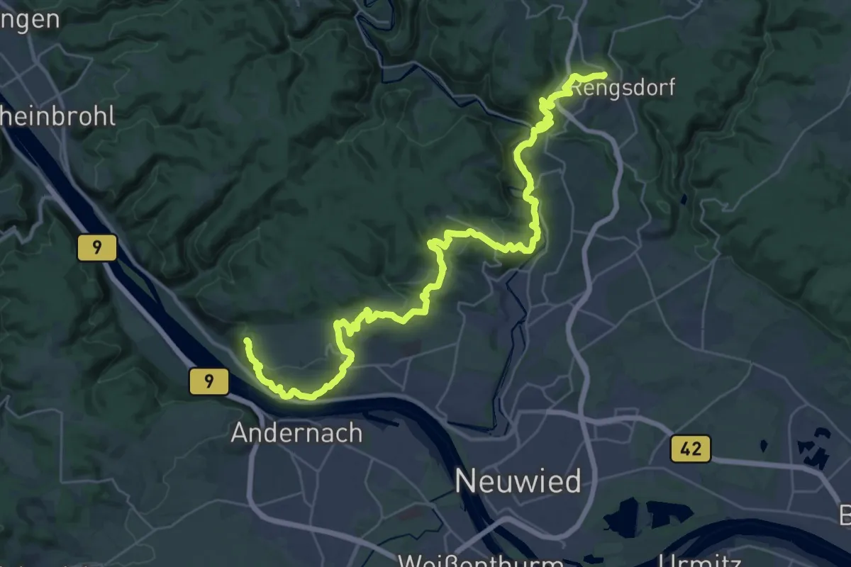
Demanding · Trail
Rheinsteig Etappe 06 [Leutesdorf - Rengsdorf]
18.6 km · ↑ 736 m · 6 h 11 min
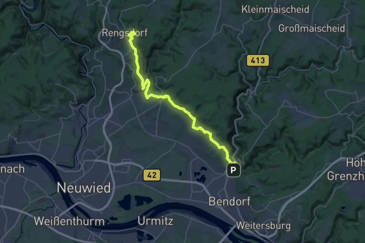
Demanding · Summit
Rheinsteig Etappe 07 [Rengsdorf - Sayn]
26.4 km · ↑ 838 m · 8 h 3 min
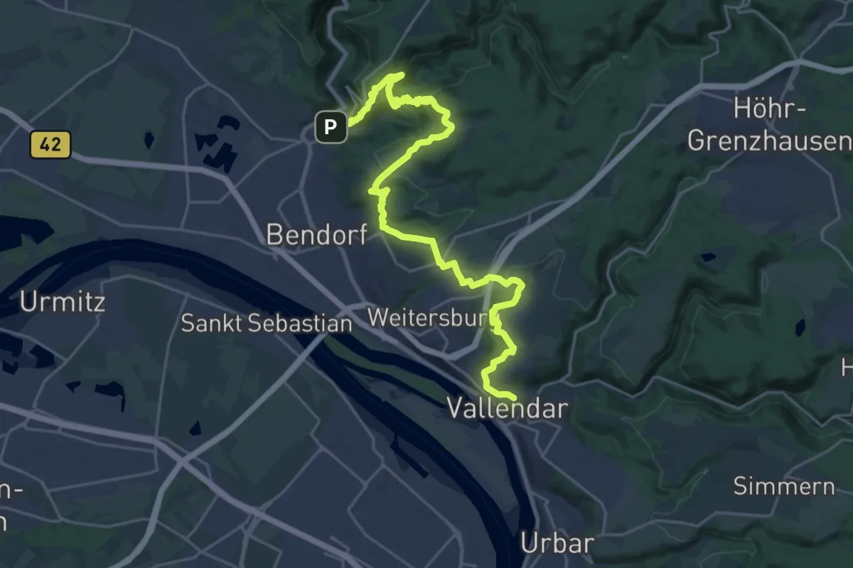
Demanding · Trail
Rheinsteig Etappe 08 [Sayn - Vallendar]
25.4 km · ↑ 863 m · 7 h 52 min
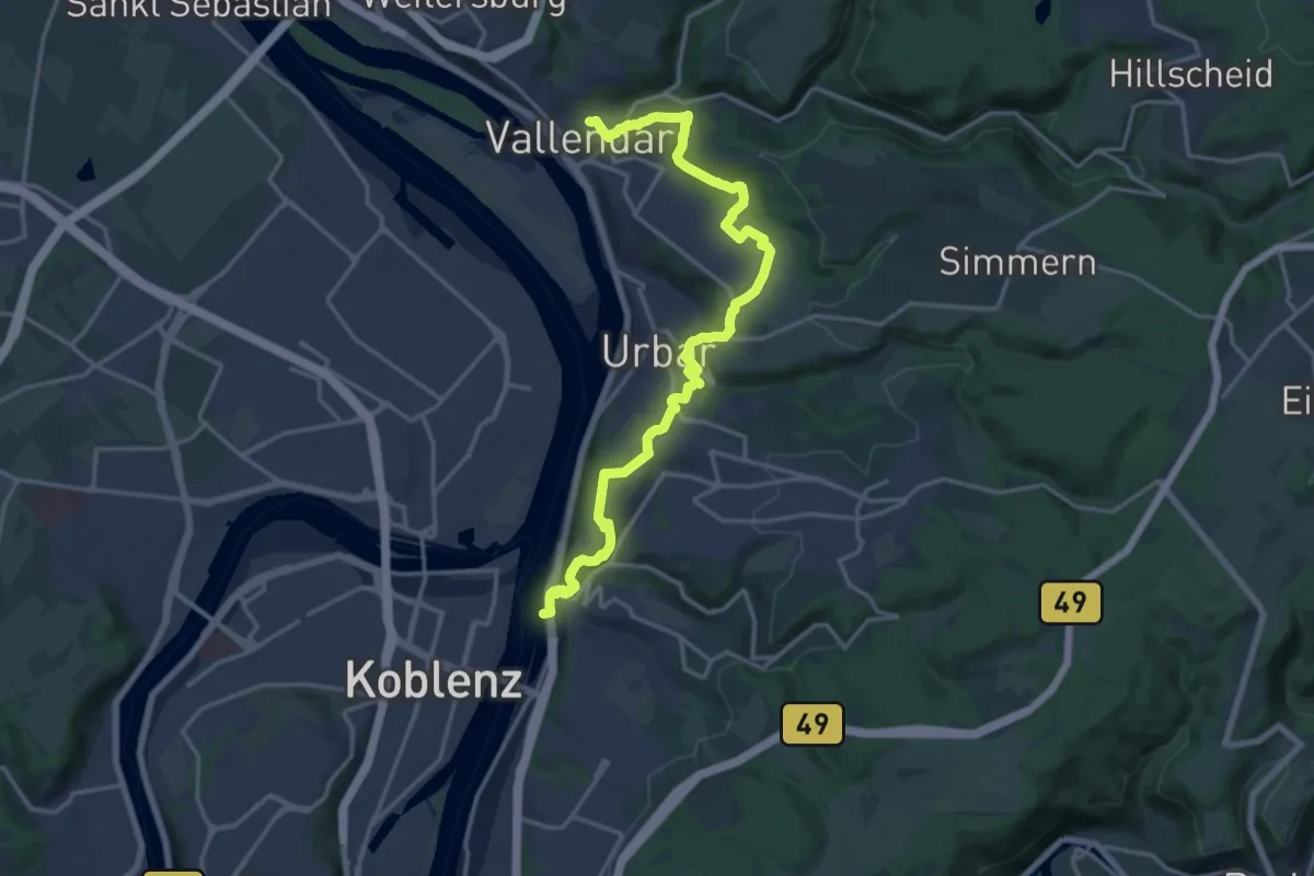
Medium · Trail
Rheinsteig Etappe 09 [Vallendar - Koblenz-Ehrenbreitstein]
18.0 km · ↑ 441 m · 5 h 12 min
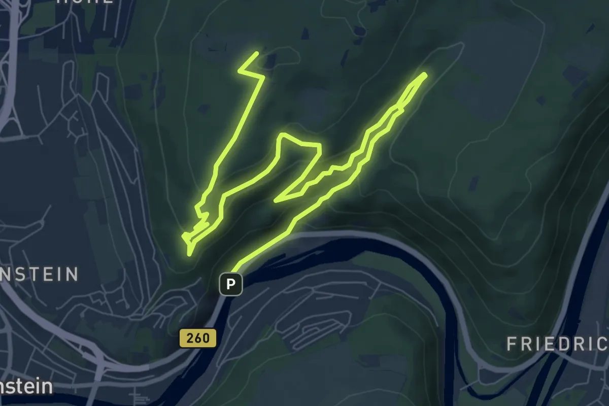
Medium · Summit
Rheinsteig Etappe 10 [Koblenz Ehrenbreitenstein - Niederlahnstein]
11.9 km · ↑ 580 m · 4 h 4 min
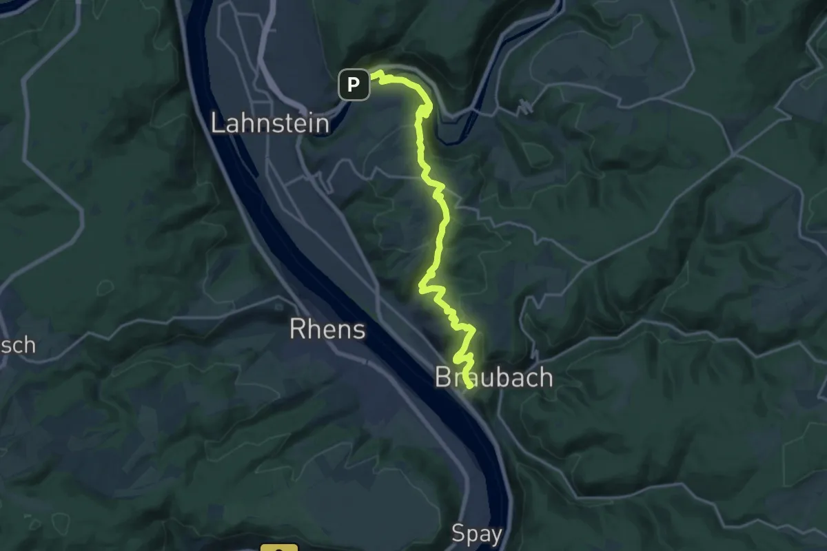
Demanding · Trail
Rheinsteig Etappe 11 [Niederlahnstein - Braubach]
16.6 km · ↑ 698 m · 5 h 26 min
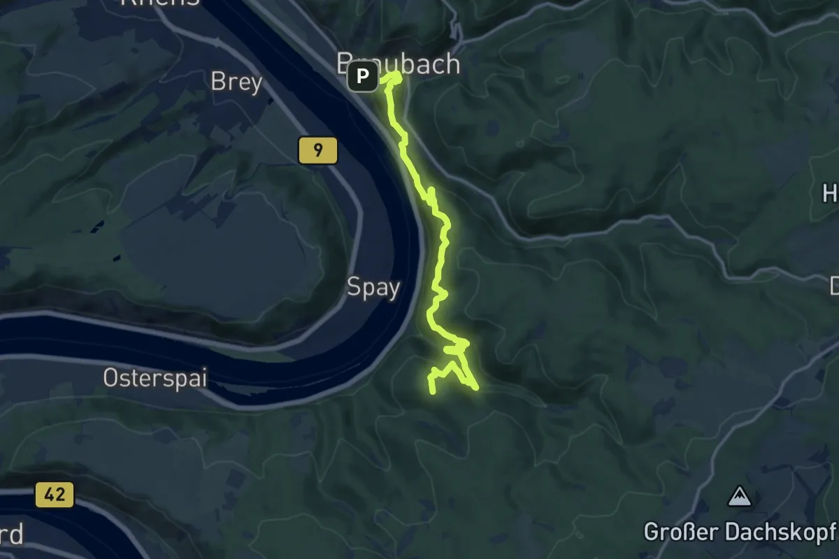
Demanding · Summit
Rheinsteig Etappe 12 [Braubach - Kamp-Bornhofen]
12.4 km · ↑ 850 m · 4 h 46 min
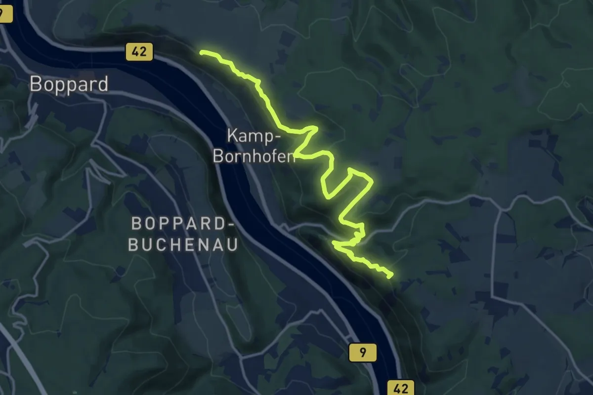
Medium · Summit
Rheinsteig Etappe 13 [Kamp-Bornhofen - Kestert]
14.2 km · ↑ 529 m · 4 h 30 min
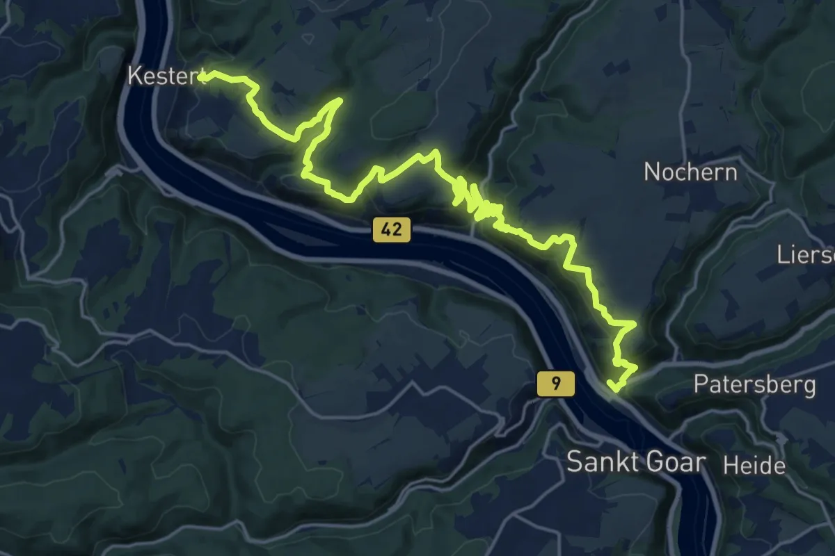
Demanding · Summit
Rheinsteig Etappe 14 [Kestert - St. Goarshausen]
23.8 km · ↑ 973 m · 7 h 44 min
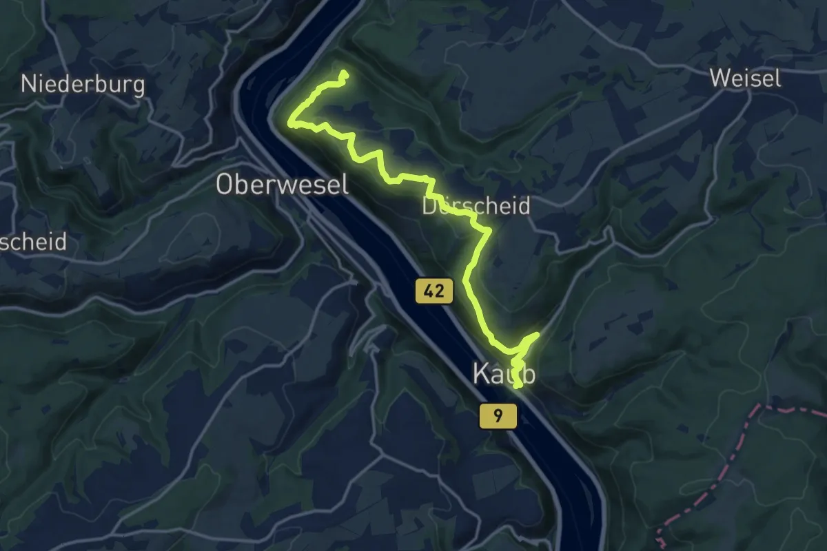
Medium · Summit
Rheinsteig Etappe 15 [St. Goarshausen - Kaub]
14.7 km · ↑ 528 m · 4 h 37 min
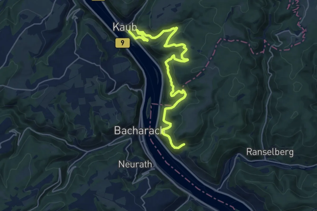
Demanding · Trail
Rheinsteig Etappe 16 [Kaub - Lorch]
19.8 km · ↑ 1036 m · 6 h 55 min
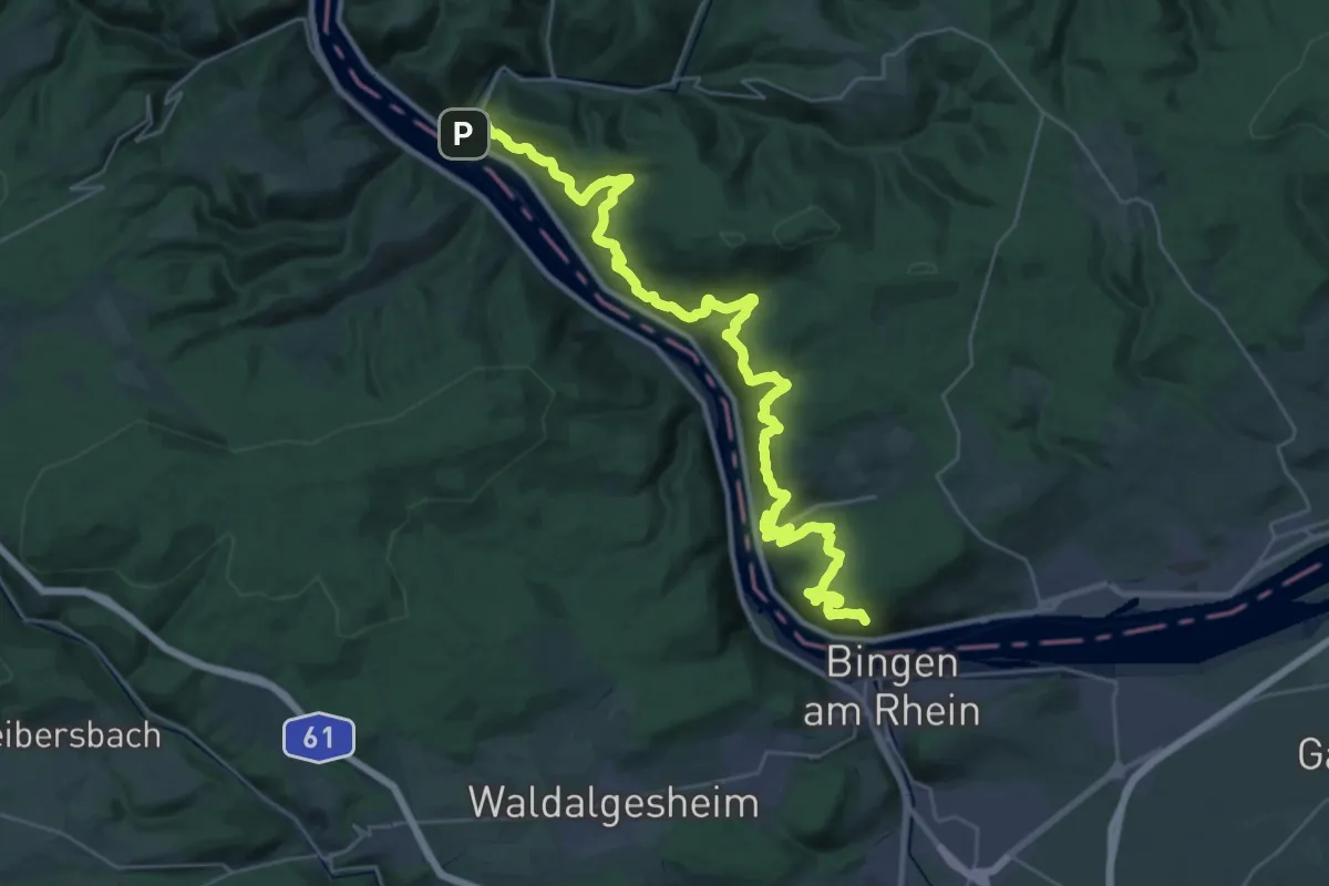
Demanding · Summit
Rheinsteig Etappe 17 [Lorch - Rüdesheim]
38.1 km · ↑ 1709 m · 12 h 42 min
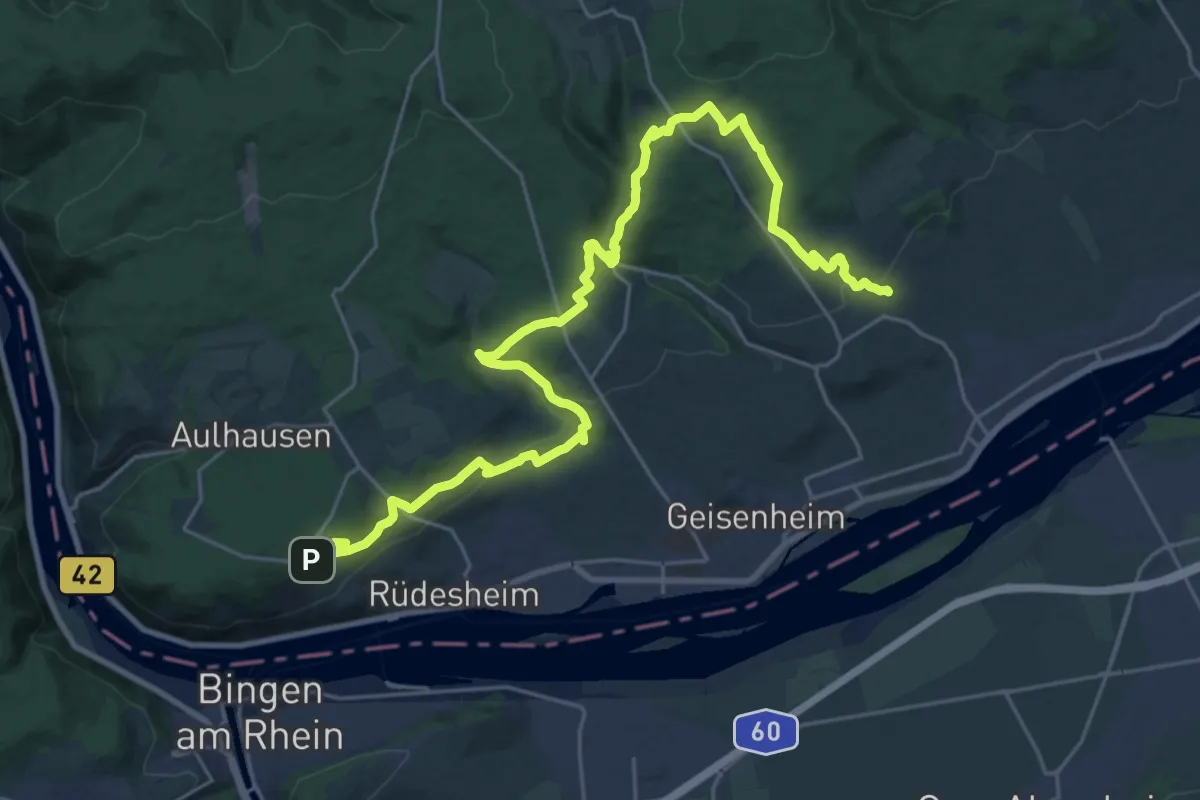
Medium · Trail
Rheinsteig Etappe 18 [Rüdesheim - Johannisberg]
14.8 km · ↑ 333 m · 4 h 29 min
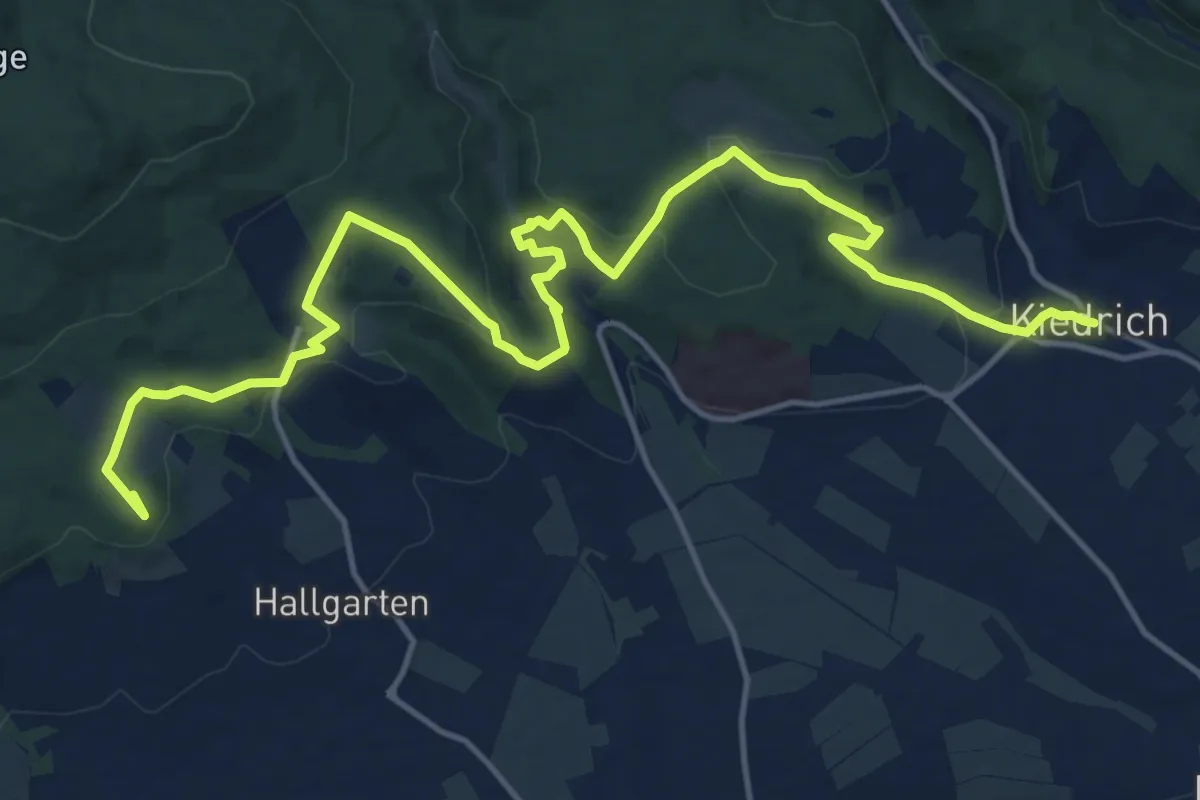
Demanding · Summit
Rheinsteig Etappe 19 [Johannisberg - Kiedrich]
18.3 km · ↑ 568 m · 5 h 33 min
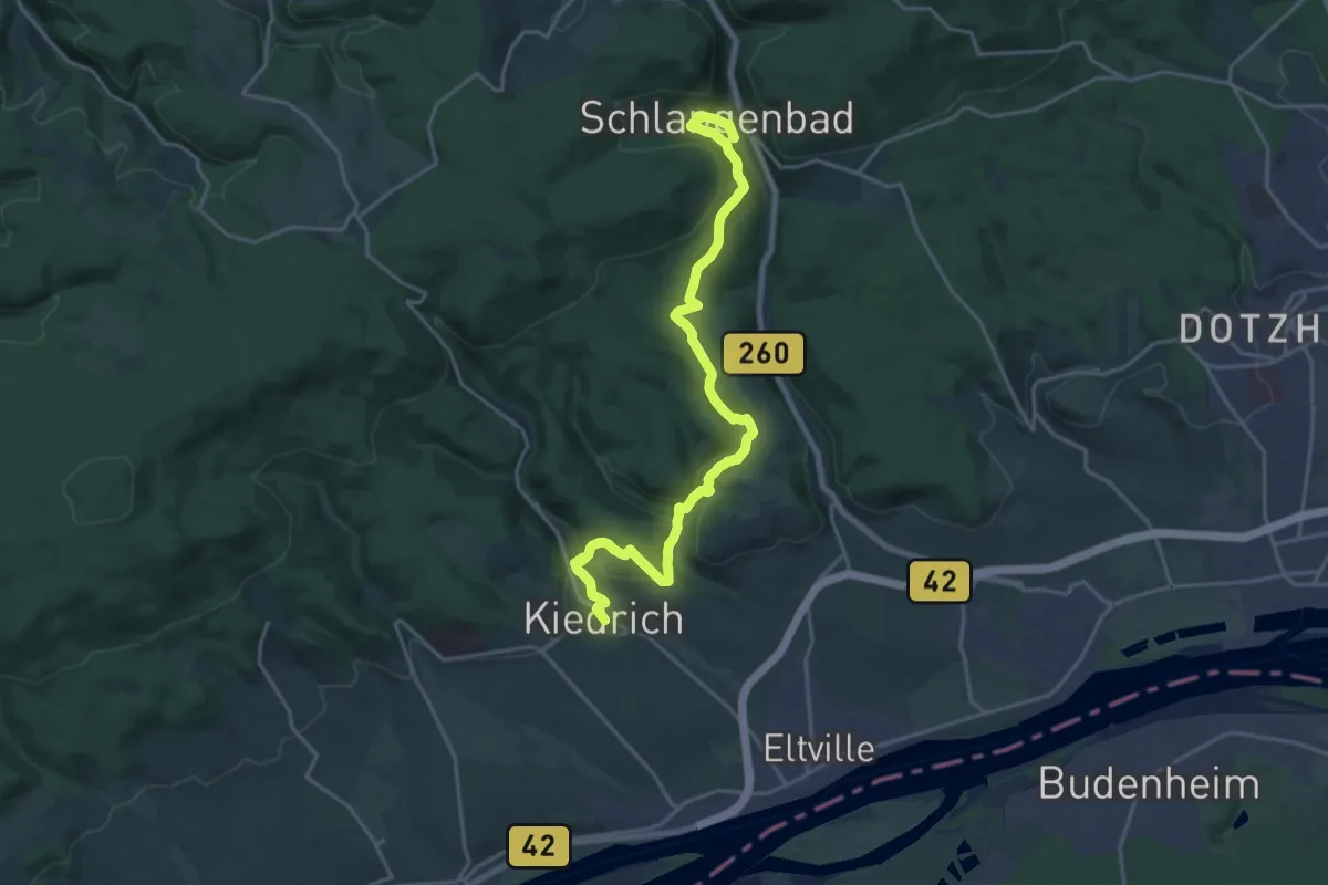
Demanding · Trail
Rheinsteig Etappe 20 [Kiedrich - Schlangenbad]
20.4 km · ↑ 631 m · 6 h 11 min