Trails in Germany
36,852 hiking trails, each with its route, climb, walking time and grade.
All trails, page 446 of 768
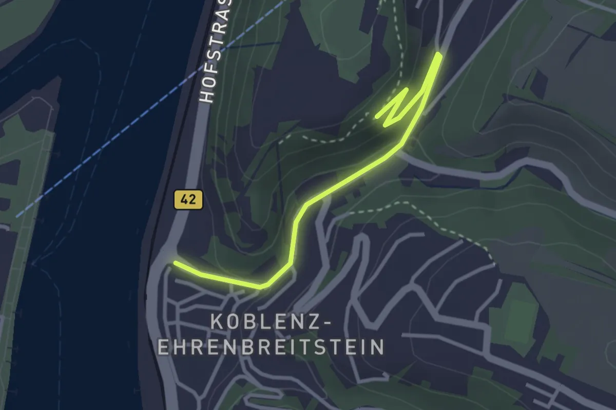
Easy · Trail
Rheinsteig Zuweg - Koblenz-Ehrenbreitstein Alternative 1
2.8 km · ↑ 104 m · 54 min
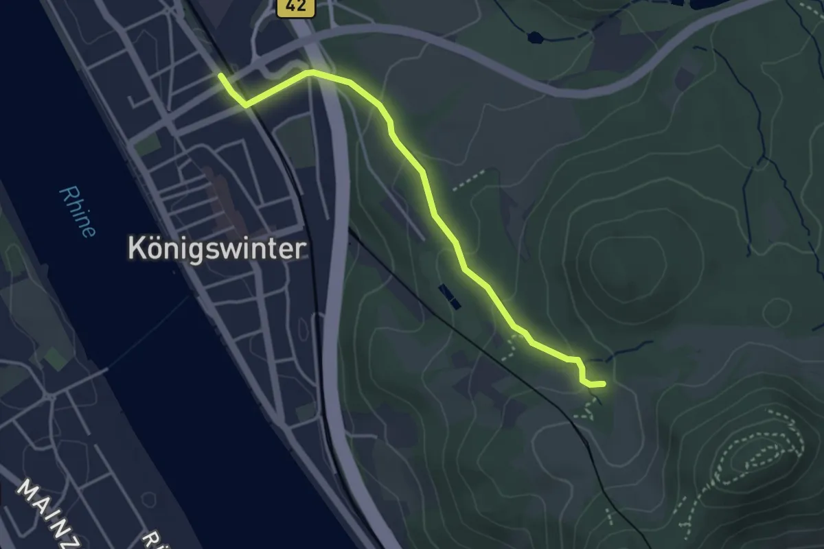
Easy · Trail
Rheinsteig-Zuweg Königswinter Bahnhof
3.3 km · ↑ 131 m · 1 h 3 min
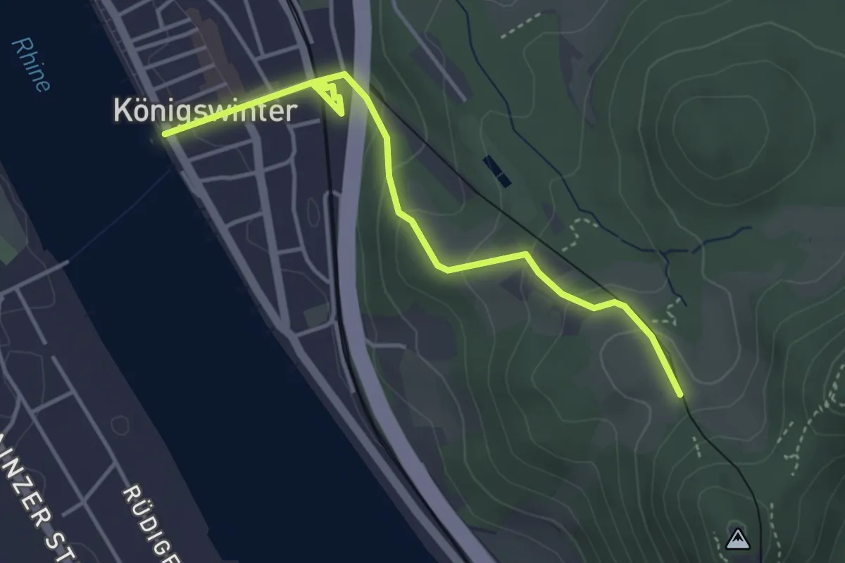
Easy · Trail
Rheinsteig-Zuweg Königswinter Rheinfähre
3.8 km · ↑ 154 m · 1 h 13 min
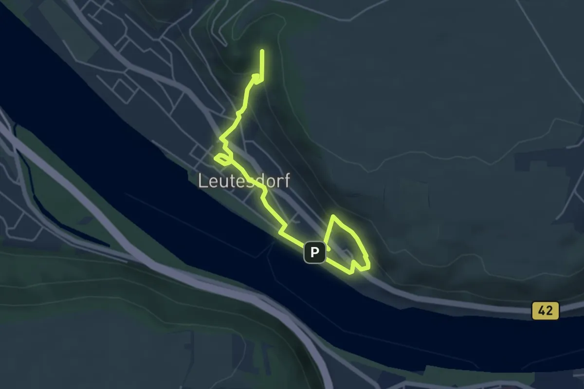
Easy · Trail
Rheinsteig-Zuweg Leutesdorf
5.0 km · ↑ 223 m · 1 h 40 min
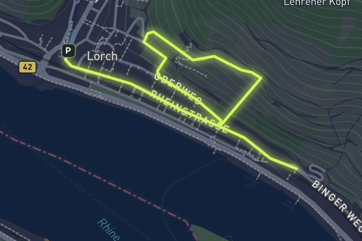
Easy · Trail
Rheinsteig-Zuweg Lorch
4.0 km · ↑ 180 m · 1 h 20 min
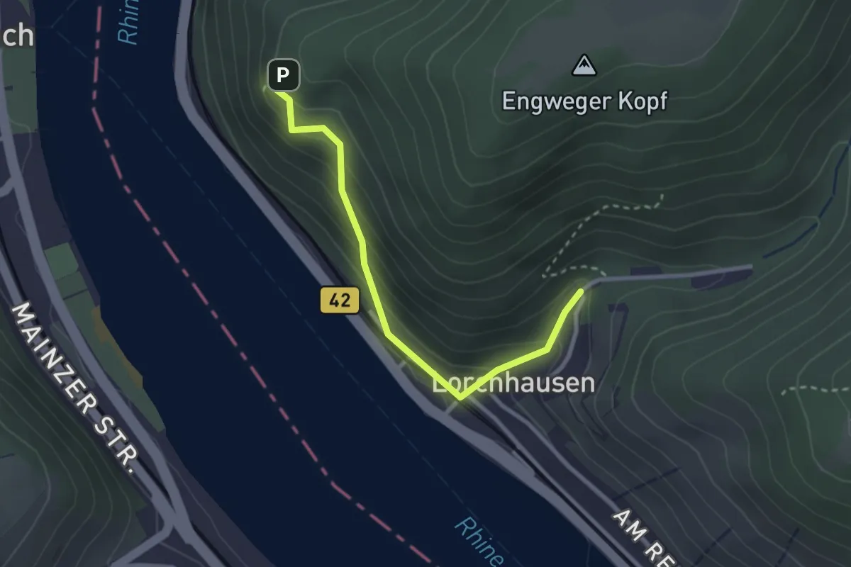
Medium · Trail
Rheinsteig-Zuweg Lorchhausen
2.5 km · ↑ 208 m · 1 h 3 min
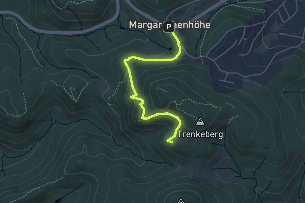
Easy · Summit
Rheinsteig-Zuweg Margaretenhöhe-Petersberg
3.7 km · ↑ 164 m · 1 h 14 min
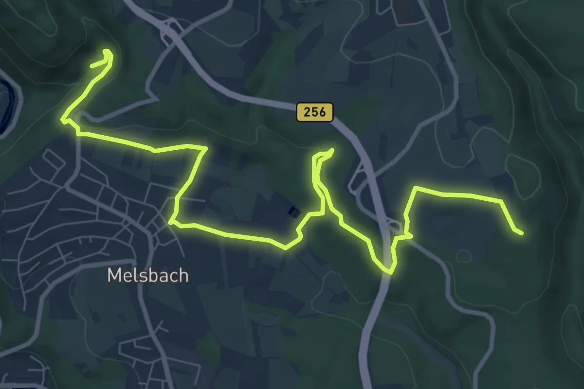
Medium · Trail
Rheinsteig-Zuweg Melsbach
9.8 km · ↑ 246 m · 2 h 50 min
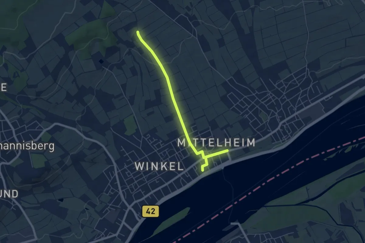
Easy · Trail
Rheinsteig-Zuweg Mittelheim
5.6 km · ↑ 89 m · 1 h 31 min
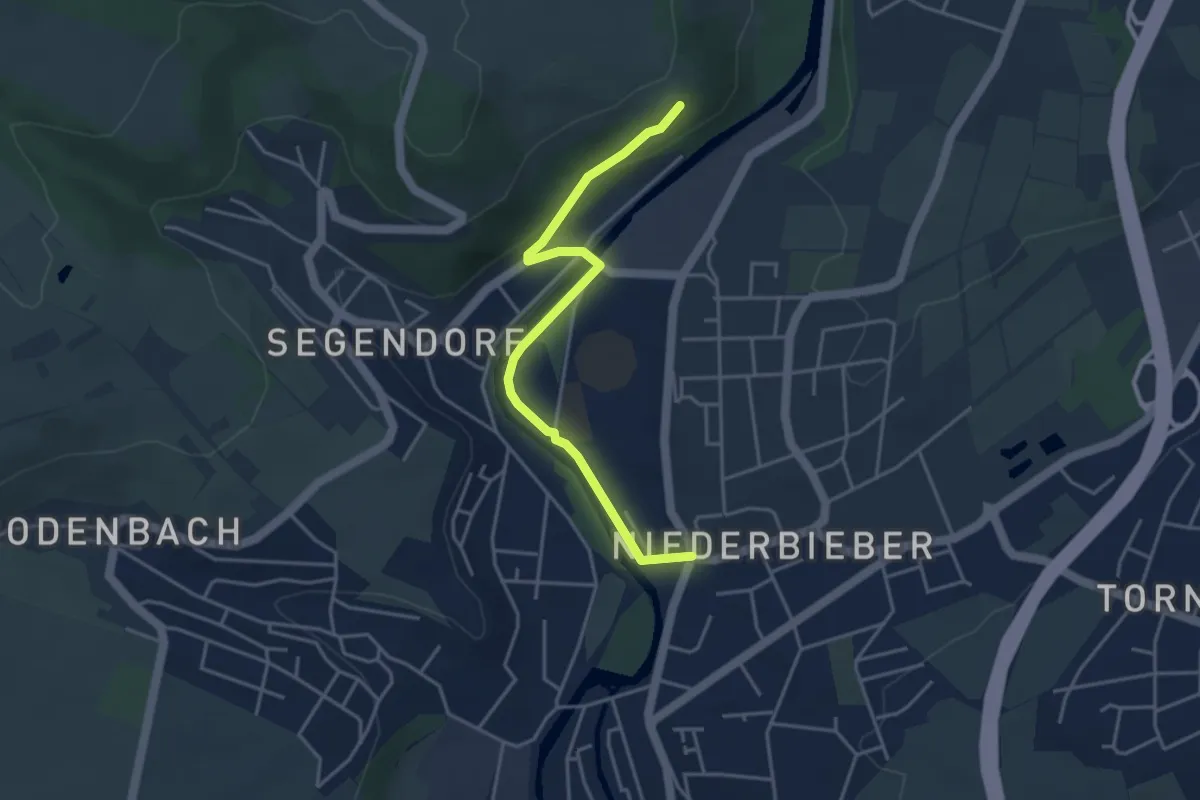
Easy · Trail
Rheinsteig-Zuweg Niederbieber
3.8 km · ↑ 60 m · 1 h 1 min
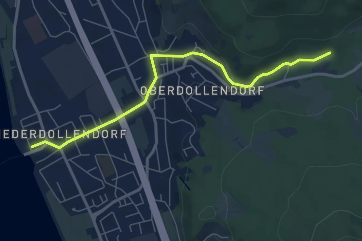
Easy · Trail
Rheinsteig-Zuweg Niederdollendorf
5.1 km · ↑ 75 m · 1 h 22 min
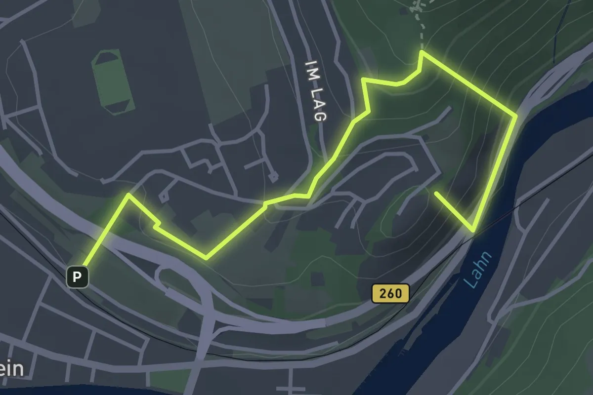
Easy · Summit
Rheinsteig-Zuweg Niederlahnstein
3.8 km · ↑ 299 m · 1 h 33 min
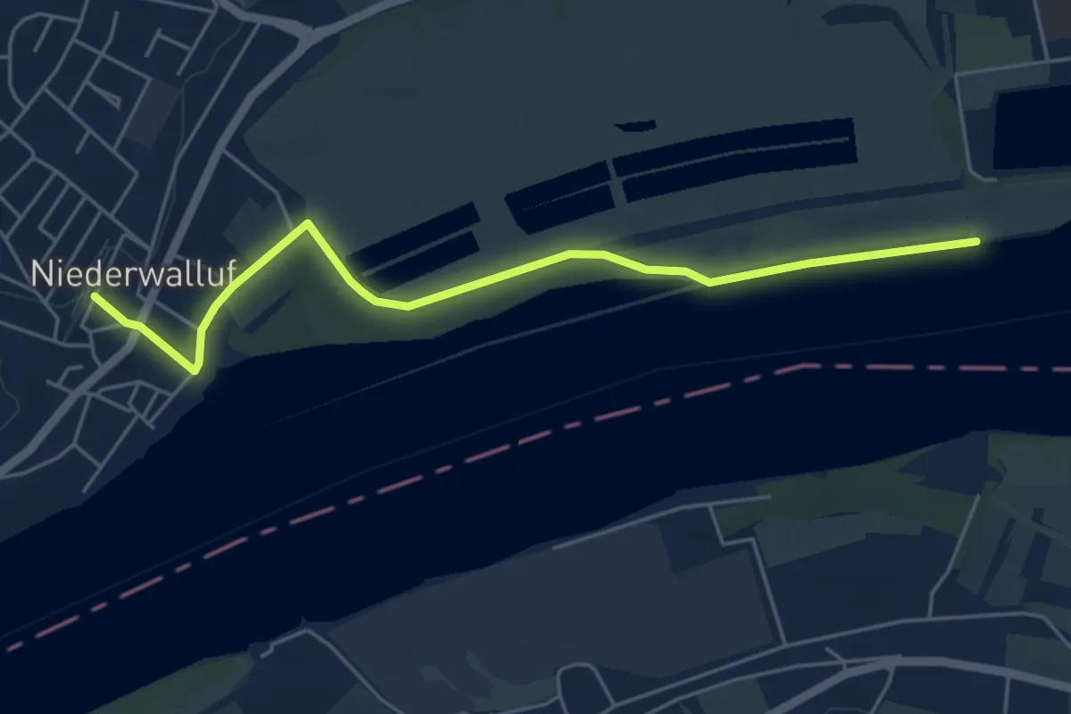
Easy · Trail
Rheinsteig-Zuweg Niederwalluf (Ost)
5.0 km · ↑ 17 m · 1 h 12 min
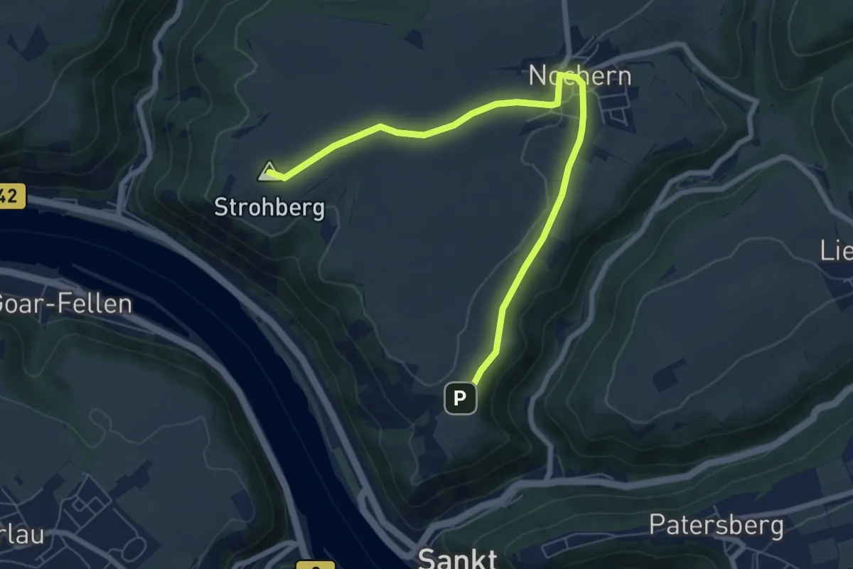
Easy · Summit
Rheinsteig-Zuweg Nochem
7.0 km · ↑ 98 m · 1 h 52 min
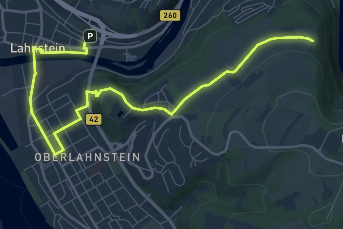
Medium · Trail
Rheinsteig-Zuweg Oberlahnstein
9.1 km · ↑ 184 m · 2 h 33 min
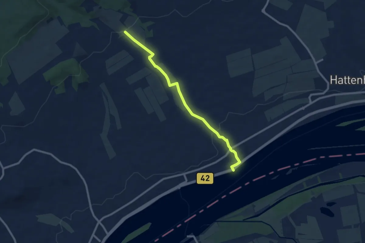
Easy · Trail
Rheinsteig-Zuweg Oestrich
6.2 km · ↑ 115 m · 1 h 42 min
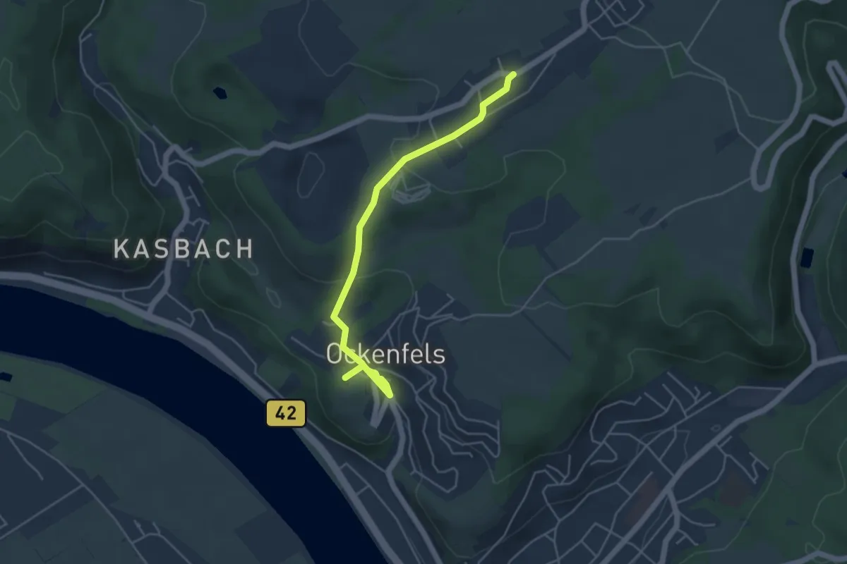
Easy · Trail
Rheinsteig-Zuweg Ohlenberg
4.2 km · ↑ 127 m · 1 h 16 min
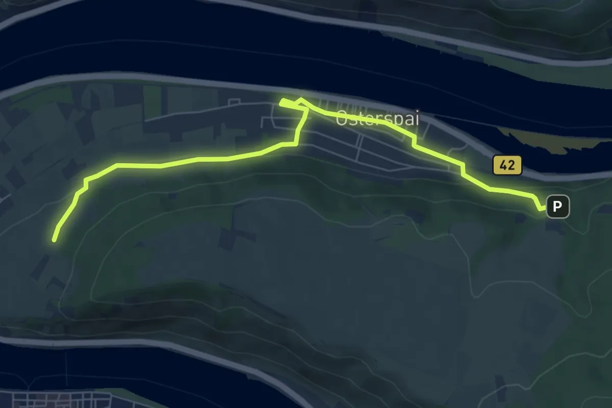
Easy · Trail
Rheinsteig-Zuweg Osterspai
7.1 km · ↑ 137 m · 1 h 58 min
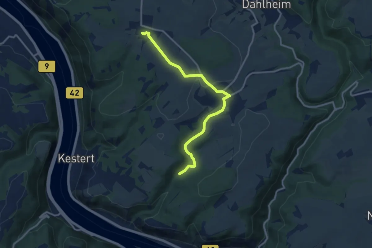
Medium · Trail
Rheinsteig-Zuweg Prath
8.1 km · ↑ 138 m · 2 h 13 min
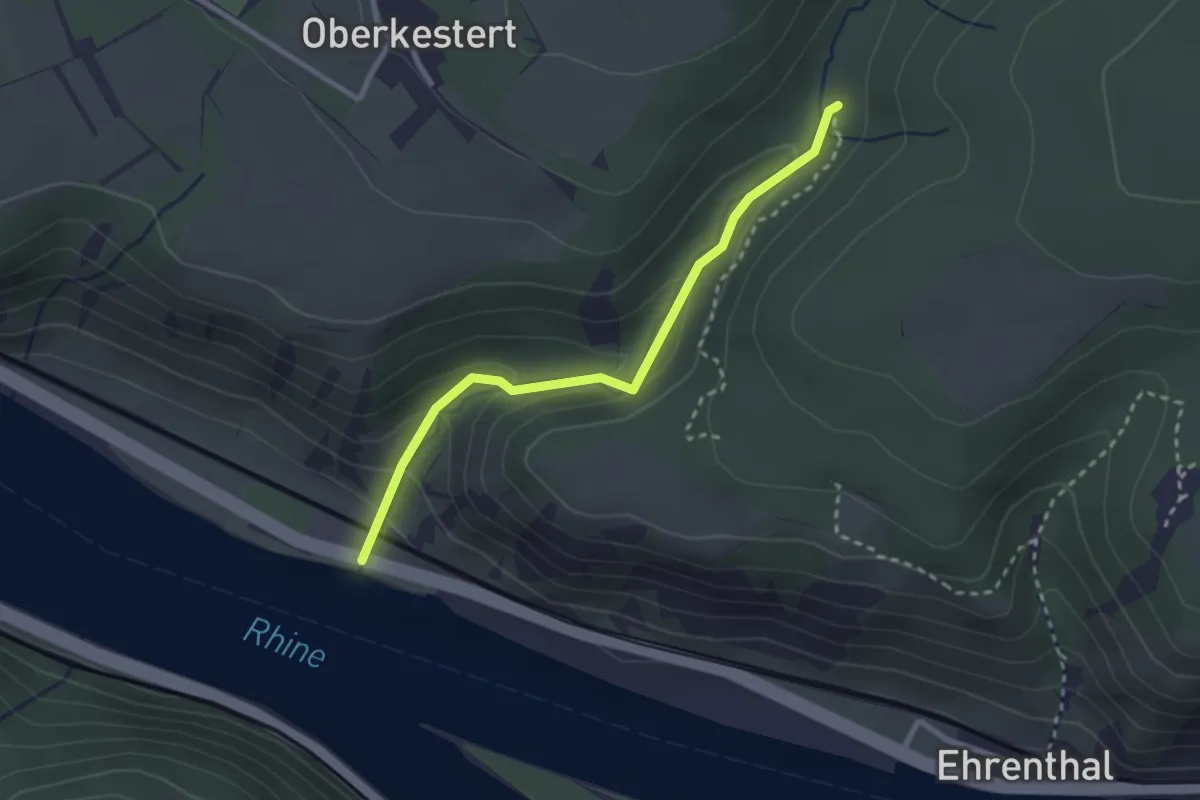
Easy · Trail
Rheinsteig-Zuweg Pulsbach
2.4 km · ↑ 140 m · 53 min
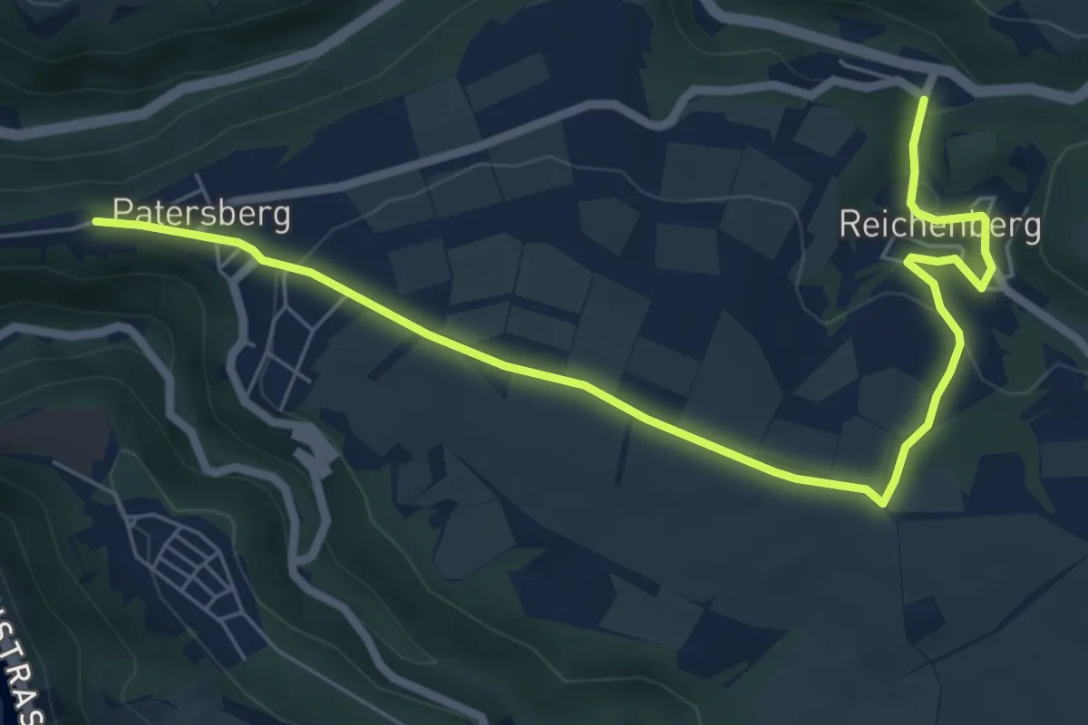
Easy · Trail
Rheinsteig-Zuweg Reichenberg
7.1 km · ↑ 136 m · 1 h 59 min
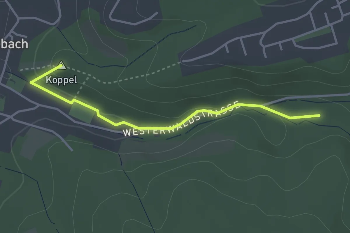
Easy · Summit
Rheinsteig-Zuweg Rheinbreitenbach
2.9 km · ↑ 73 m · 50 min
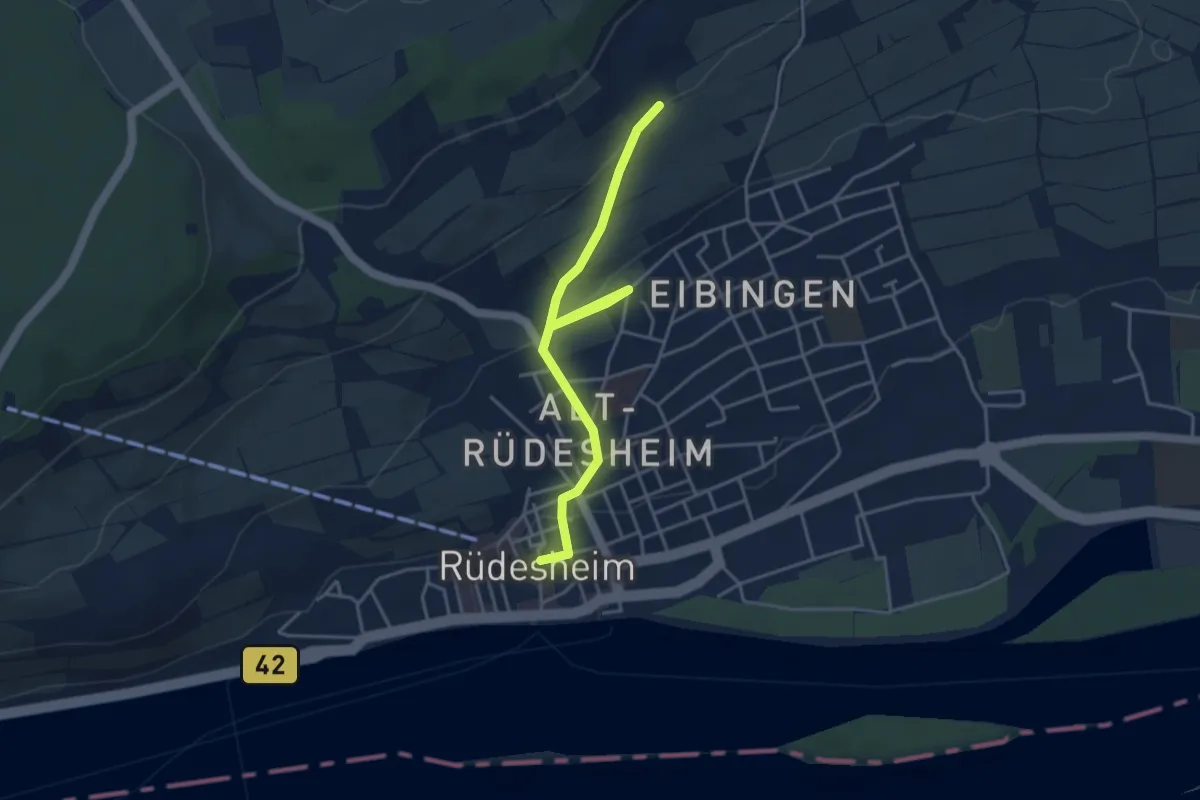
Easy · Trail
Rheinsteig-Zuweg Rüdesheim (Ost)
4.0 km · ↑ 122 m · 1 h 13 min
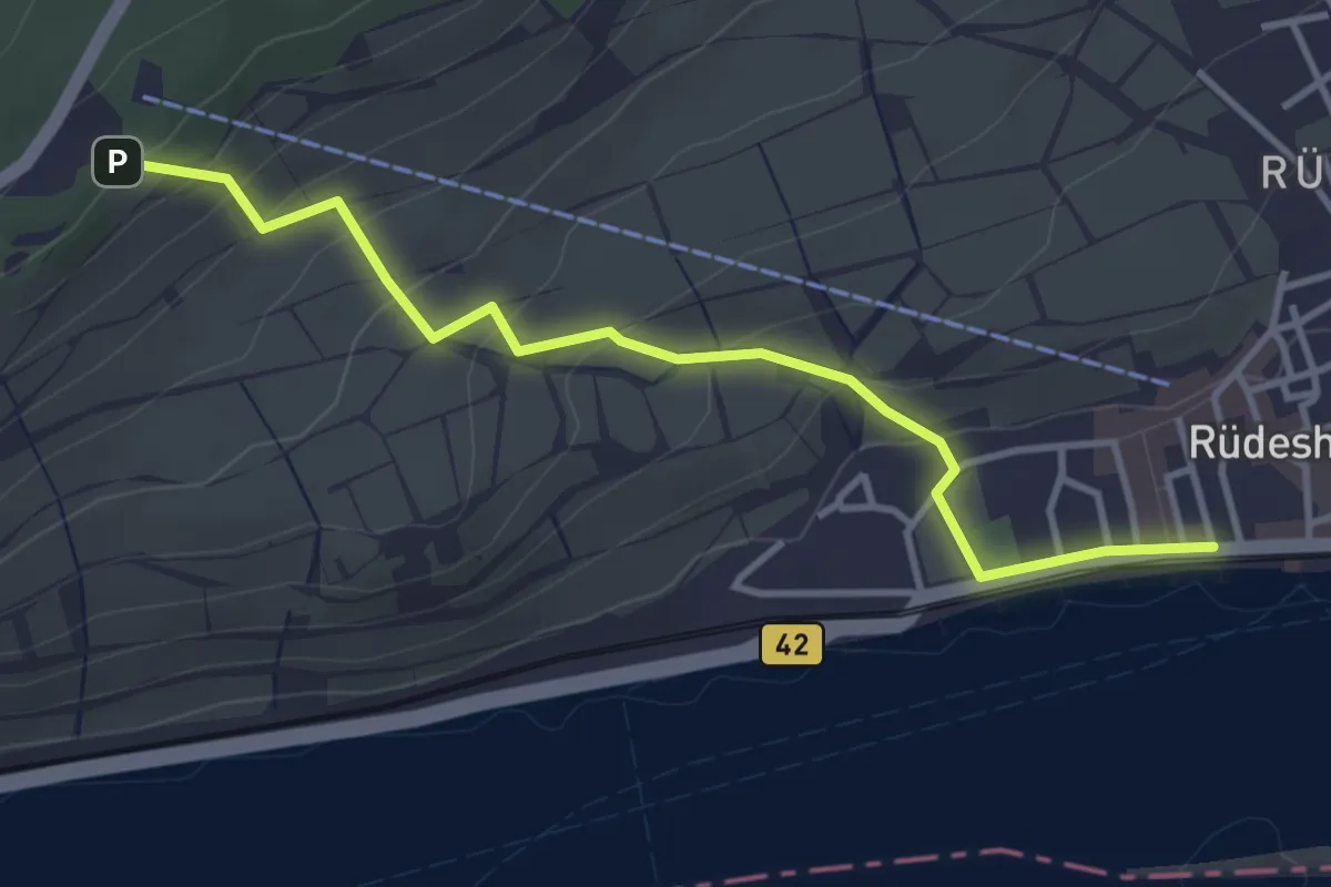
Easy · Trail
Rheinsteig-Zuweg Rüdesheim (West)
3.6 km · ↑ 223 m · 1 h 20 min
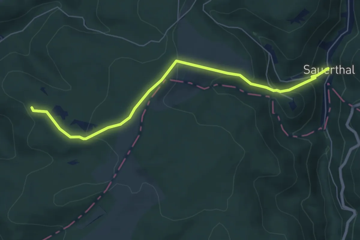
Medium · Trail
Rheinsteig-Zuweg Sauerthal
5.9 km · ↑ 267 m · 1 h 58 min
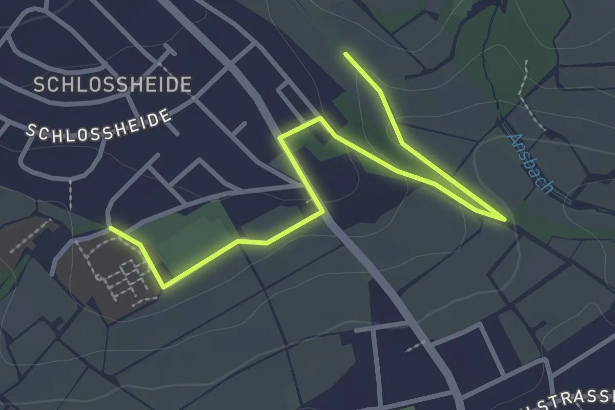
Easy · Trail
Rheinsteig-Zuweg Schloßheide
3.0 km · ↑ 48 m · 49 min
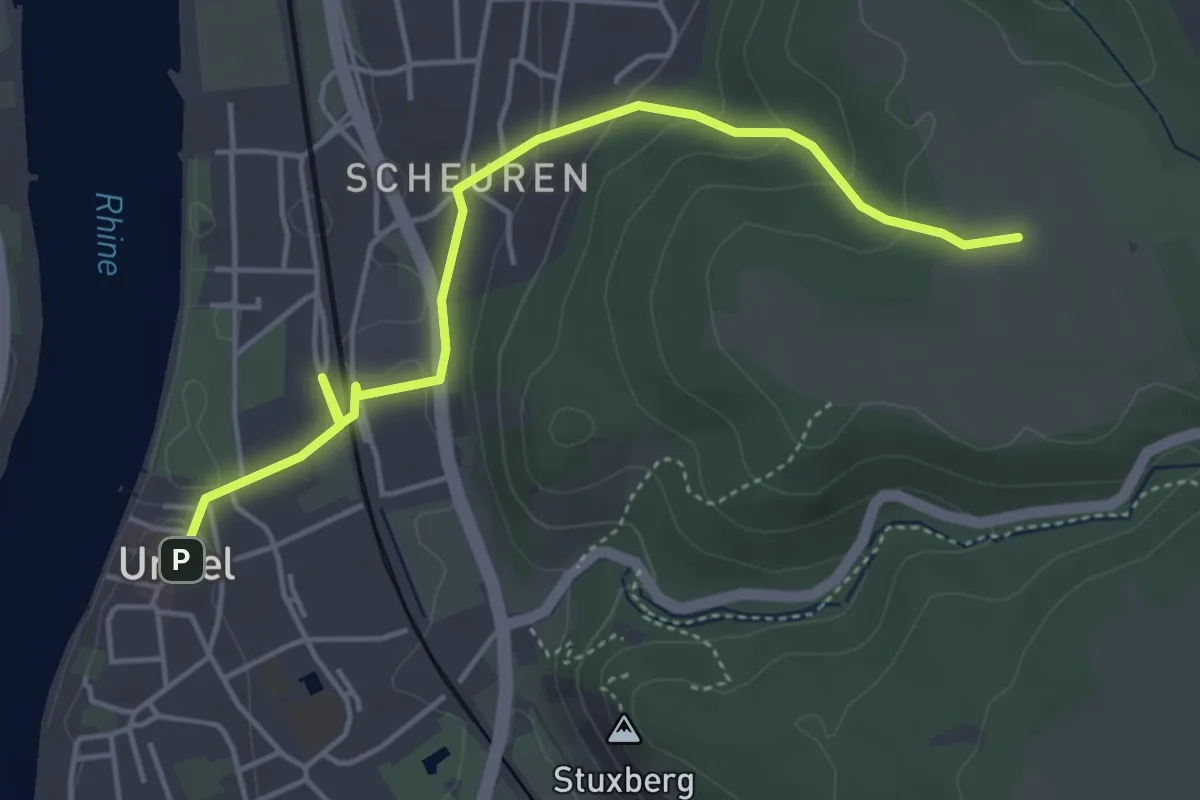
Easy · Trail
Rheinsteig-Zuweg Unkel Nord
4.4 km · ↑ 123 m · 1 h 18 min
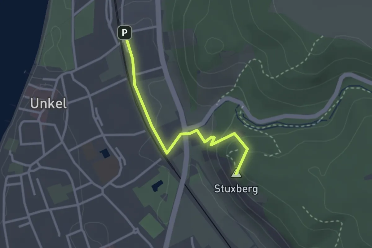
Easy · Summit
Rheinsteig-Zuweg Unkel Süd
2.2 km · ↑ 76 m · 42 min
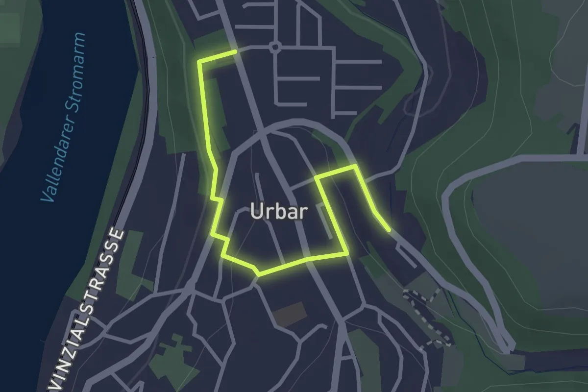
Easy · Trail
Rheinsteig-Zuweg Urbar
2.7 km · ↑ 50 m · 45 min
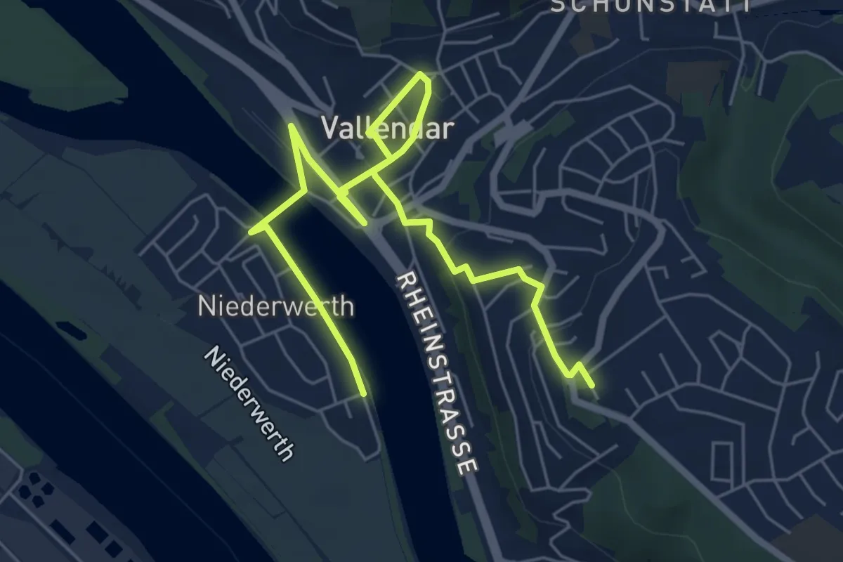
Easy · Trail
Rheinsteig-Zuweg Vallendar/Niederwerth
7.0 km · ↑ 142 m · 1 h 57 min
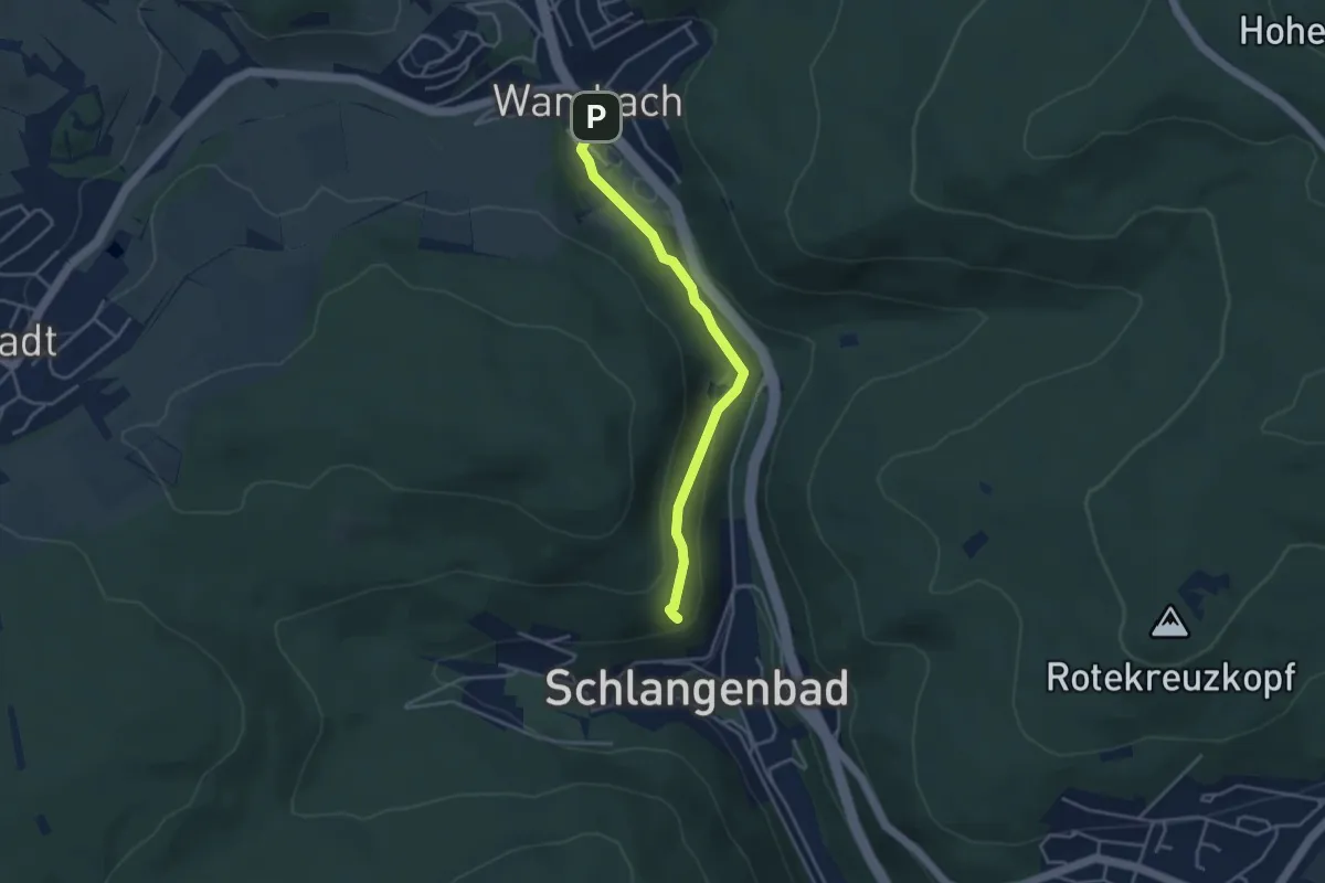
Easy · Summit
Rheinsteig-Zuweg Wambach
3.4 km · ↑ 94 m · 1 h
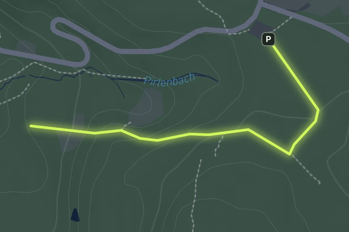
Easy · Trail
Rheinsteig-Zuweg Wanderparkplatz Vinxel
2.3 km · ↑ 73 m · 41 min
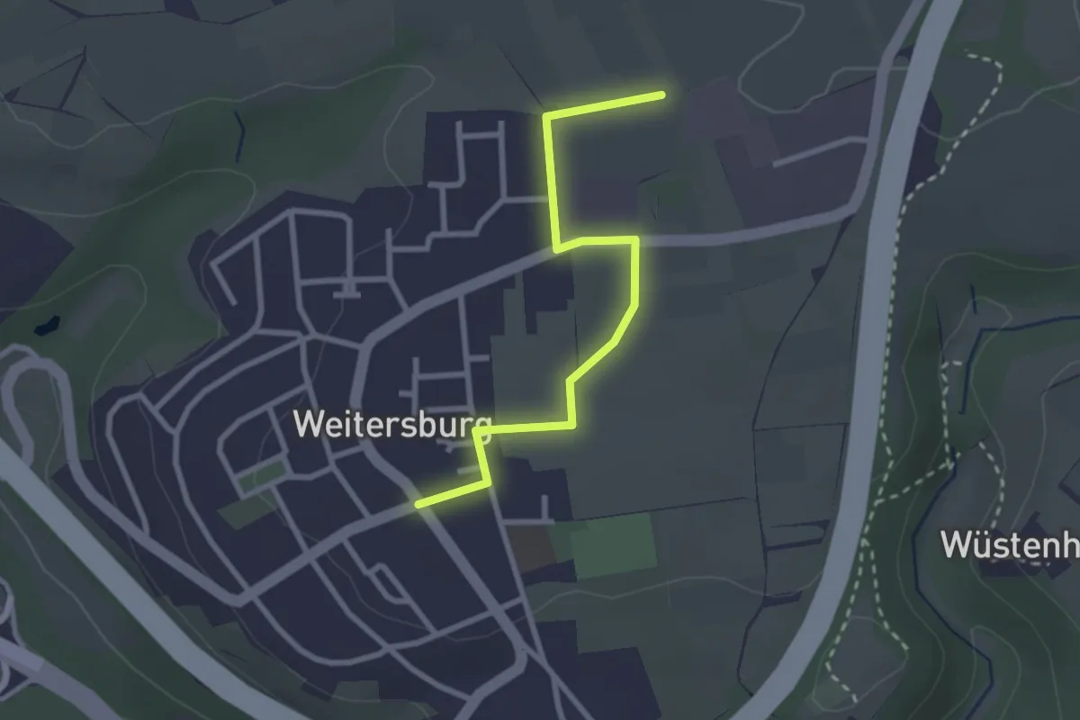
Easy · Trail
Rheinsteig-Zuweg Weitersburg
2.4 km · ↑ 8 m · 36 min
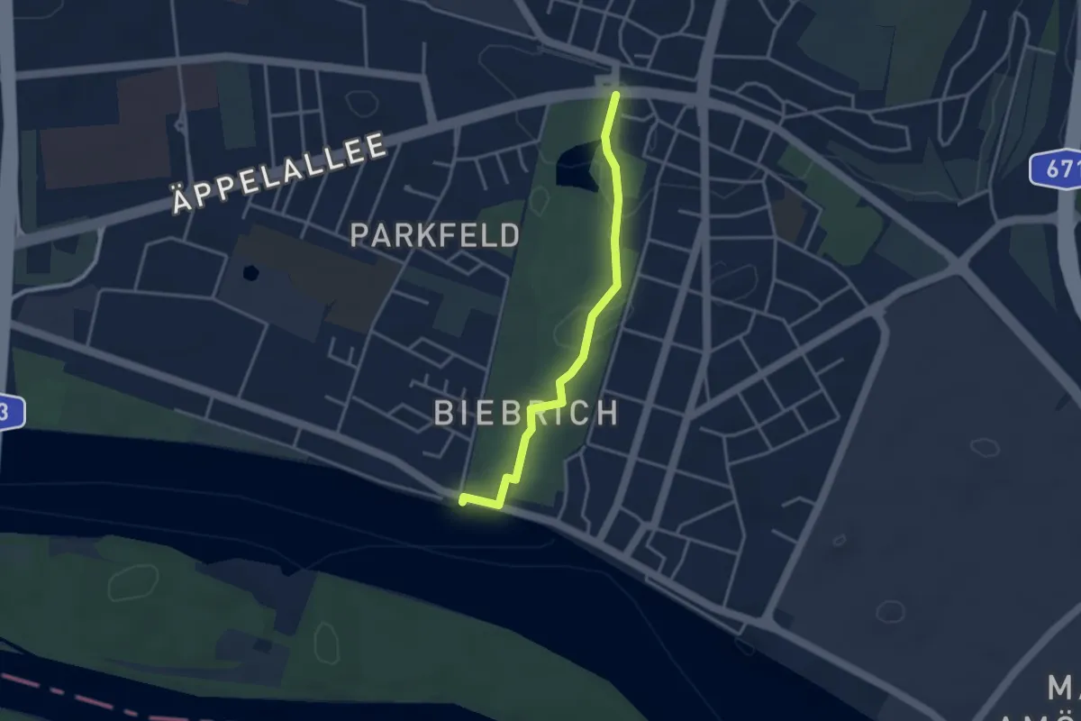
Easy · Trail
Rheinsteig-Zuweg Wiesbaden Biebrich
3.0 km · ↑ 17 m · 44 min
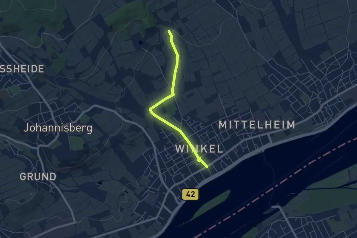
Easy · Trail
Rheinsteig-Zuweg Winkel
4.7 km · ↑ 67 m · 1 h 16 min
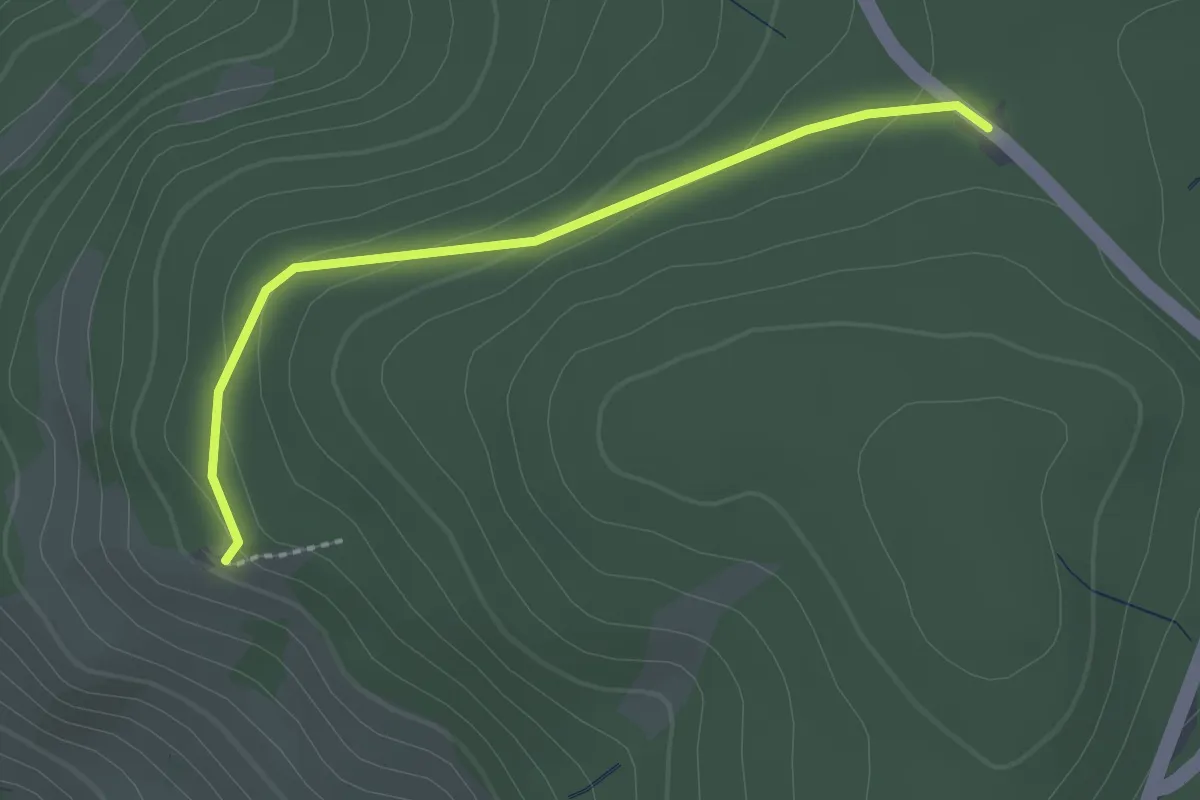
Easy · Trail
Rheintalblick - Freiwaldkapelle
2.2 km · ↑ 71 m · 40 min
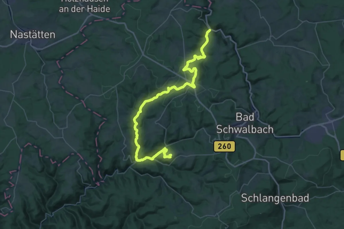
Demanding · Summit
Rhein-Taunus-Klub Gelber Balken
42.1 km · ↑ 1066 m · 12 h 15 min
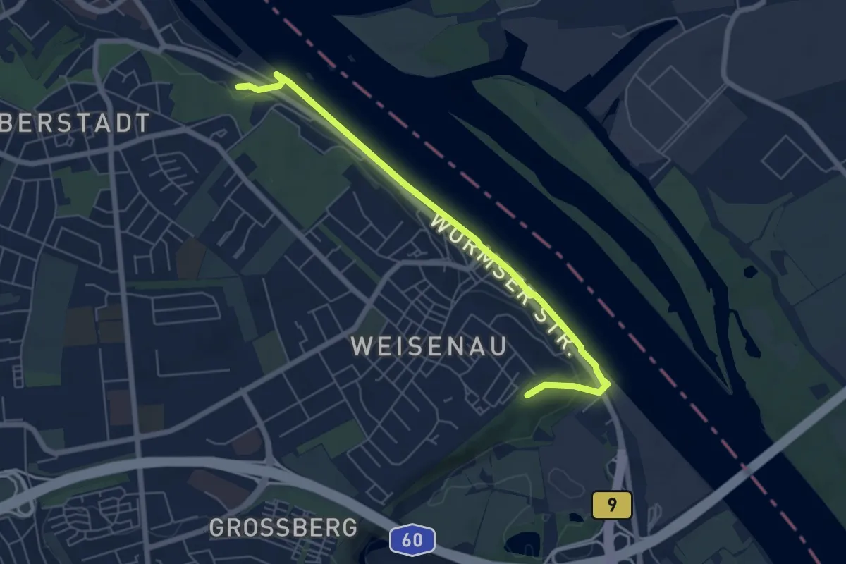
Easy · Trail
Rheinterrassenweg (Stammstrecke)
5.8 km · ↑ 38 m · 1 h 27 min
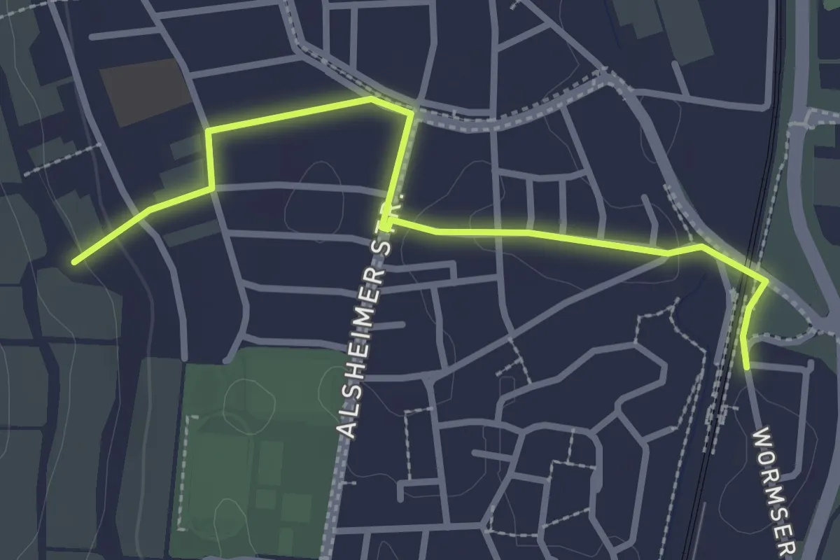
Easy · Trail
Rheinterrassenweg Zuweg Bahnhof Guntersblum
2.7 km · ↑ 21 m · 40 min
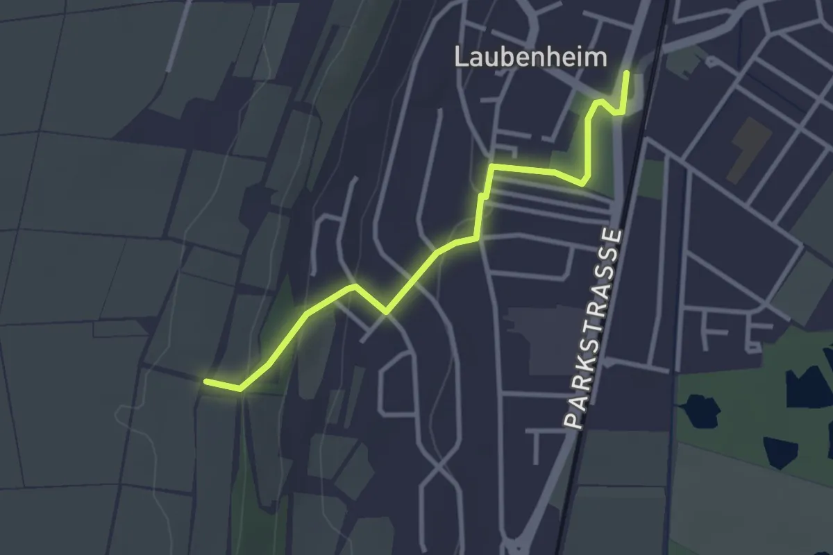
Easy · Trail
Rheinterrassenweg Zuweg Bahnhof Mainz-Laubenheim
2.7 km · ↑ 87 m · 49 min
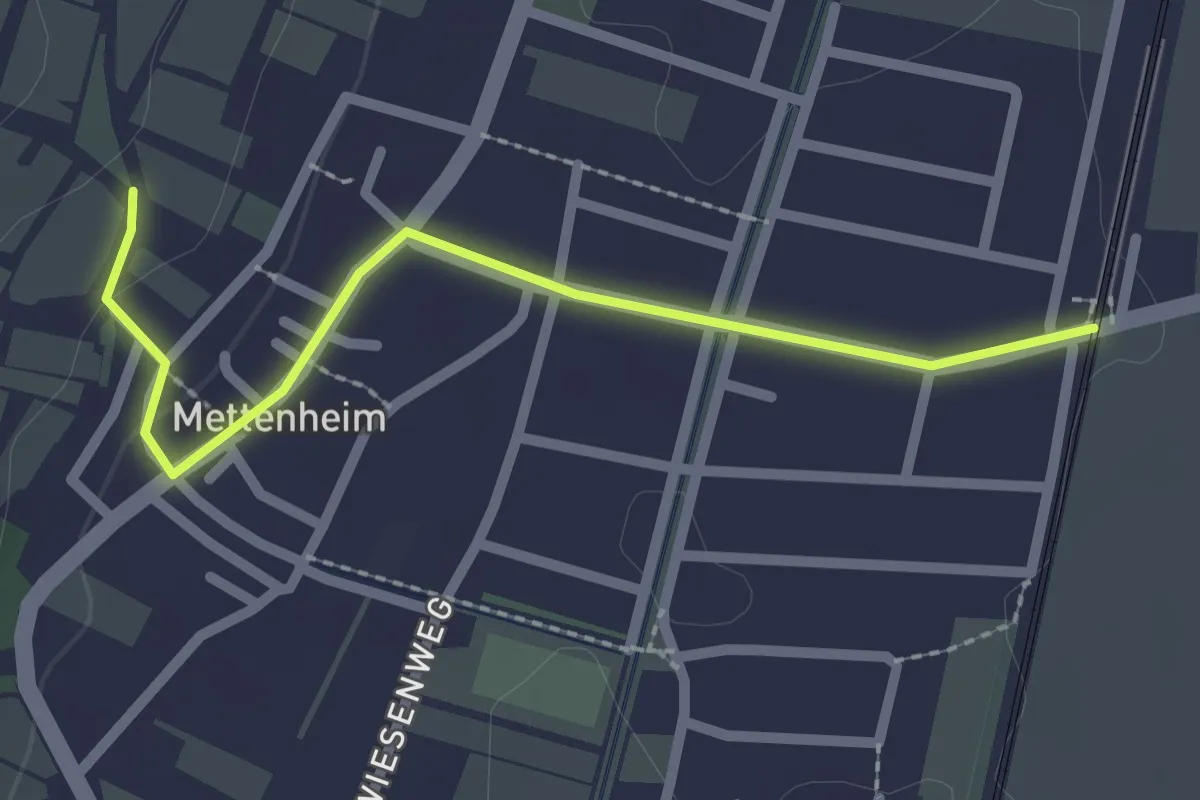
Easy · Trail
Rheinterrassenweg Zuweg Bahnhof Mettenheim
2.2 km · ↑ 28 m · 35 min
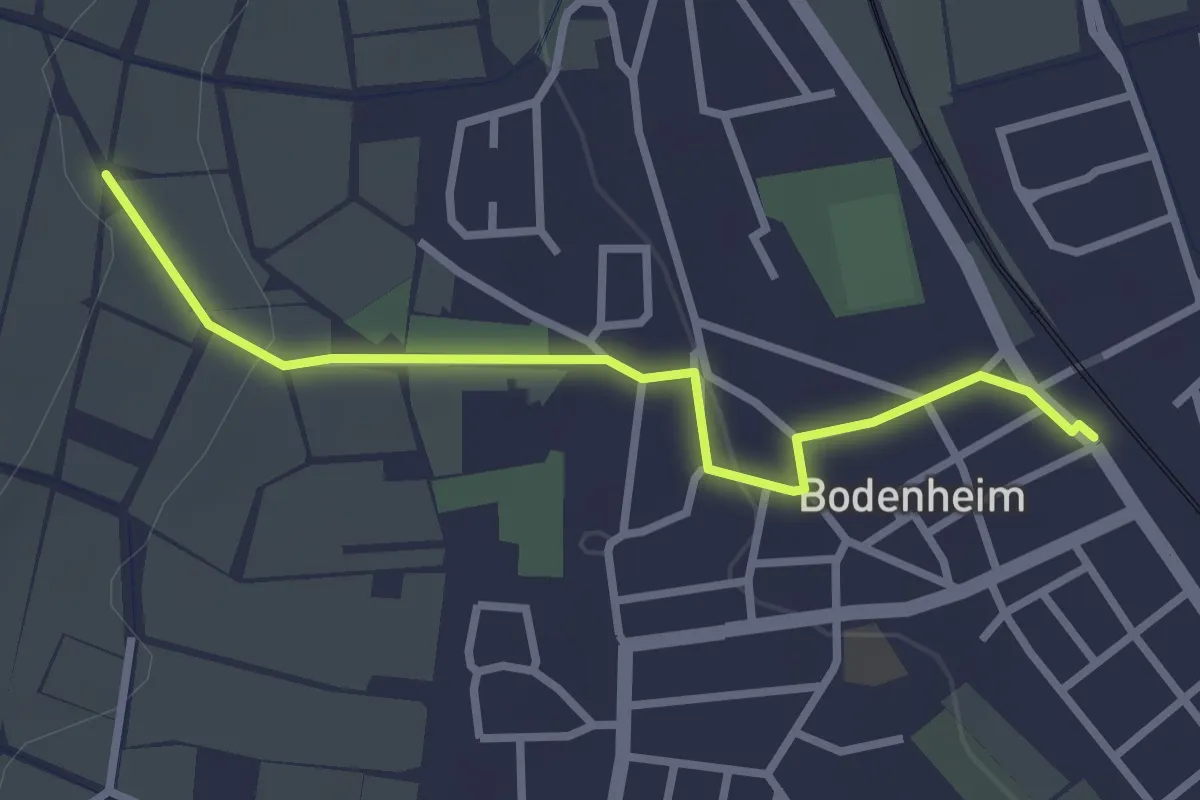
Easy · Trail
Rheinterrassenweg Zuweg Bodenheim und Bahnhof [Nord]
2.7 km · ↑ 49 m · 44 min
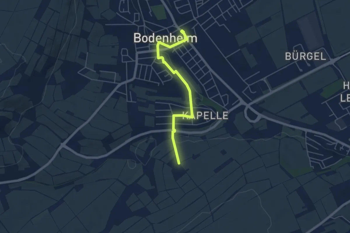
Easy · Trail
Rheinterrassenweg Zuweg Bodenheim und Bahnhof [Süd]
4.3 km · ↑ 47 m · 1 h 8 min
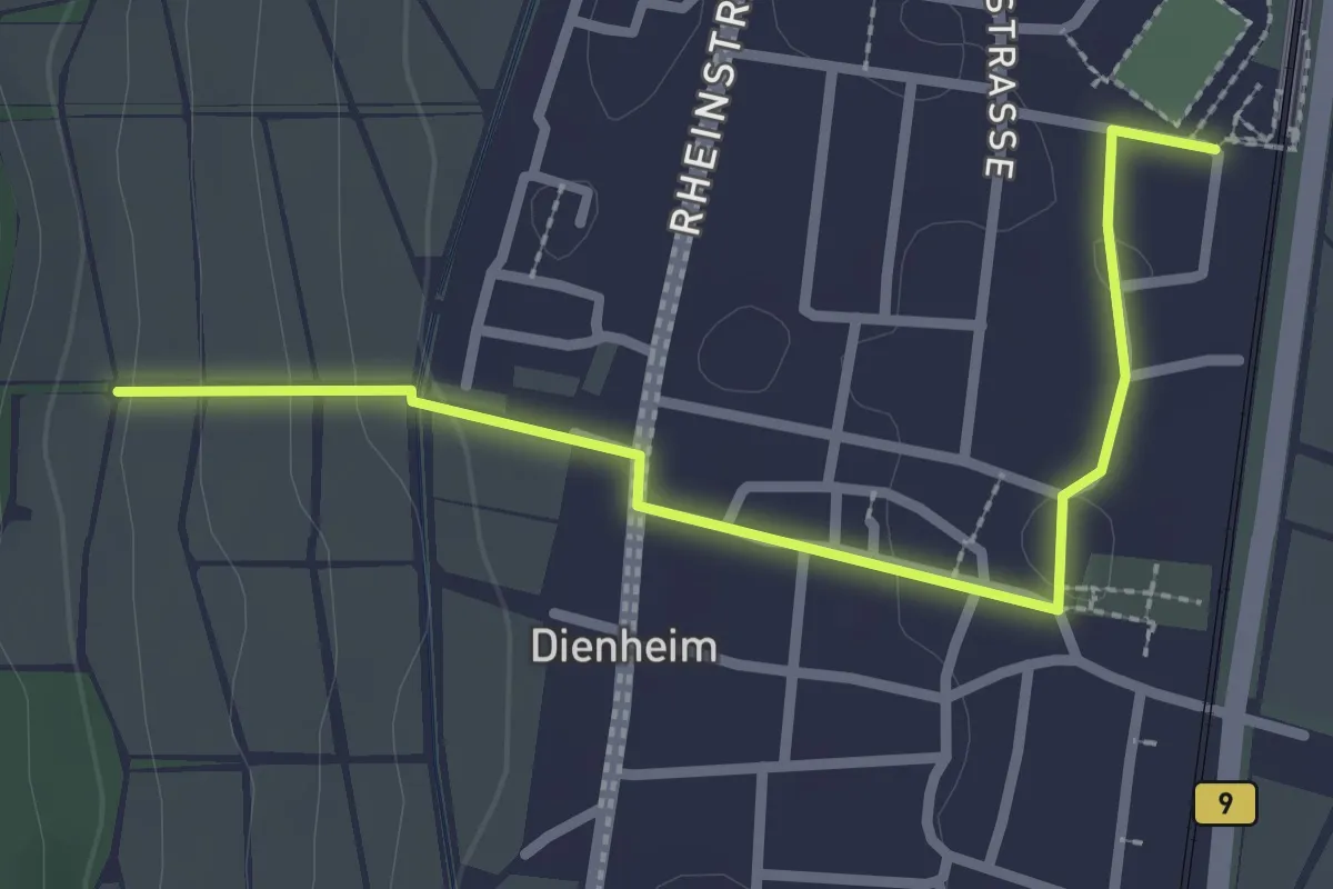
Easy · Trail
Rheinterrassenweg Zuweg Dienheim Haltepunkt
2.6 km · ↑ 61 m · 45 min
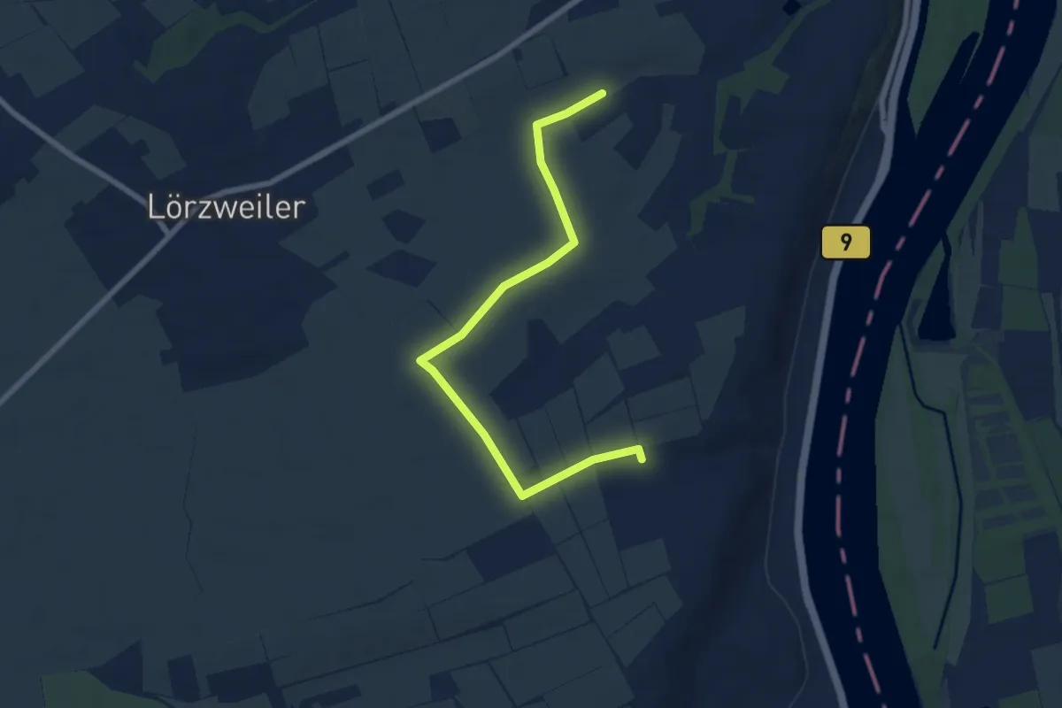
Easy · Trail
Rheinterrassenweg Zuweg Königstuhl
7.0 km · ↑ 48 m · 1 h 45 min
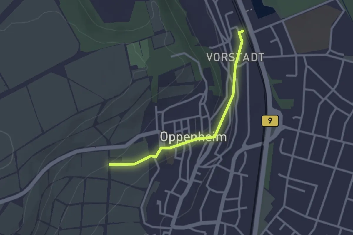
Easy · Trail
Rheinterrassenweg Zuweg Oppenheim Bahnhof
2.2 km · ↑ 49 m · 37 min
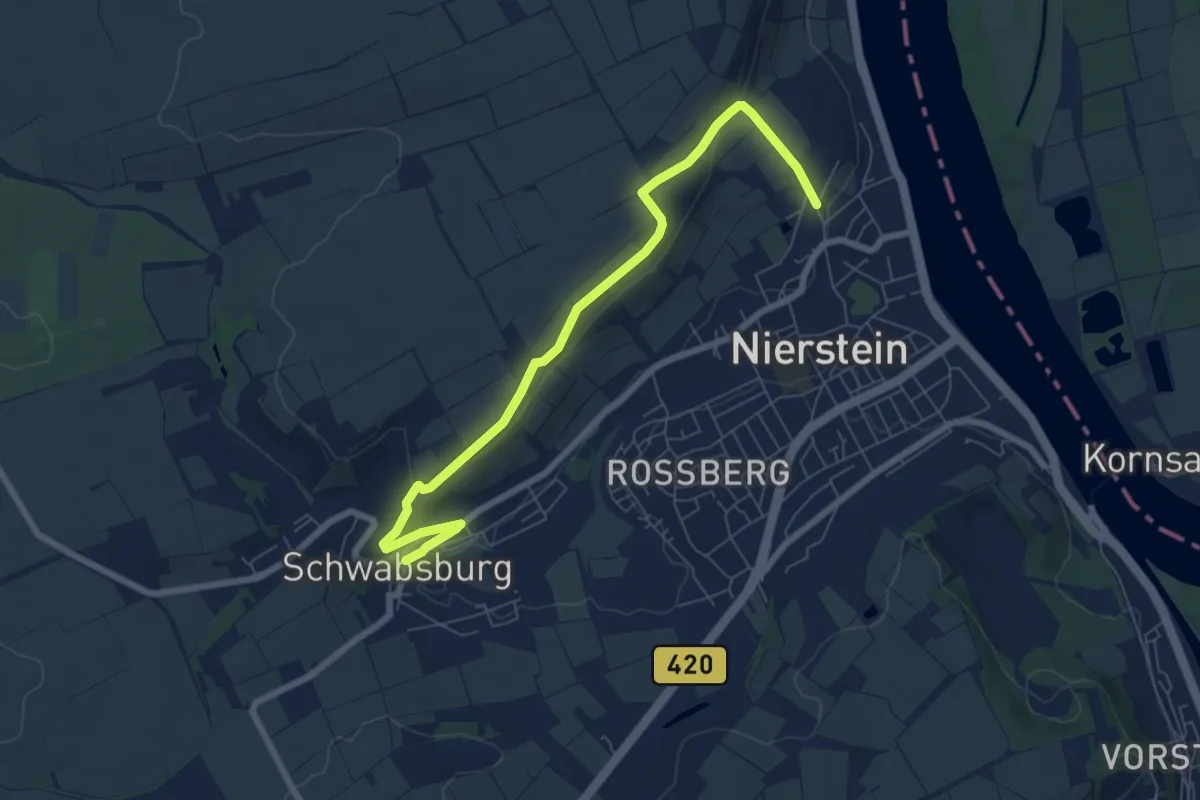
Easy · Trail
Rheinterrassenweg Zuweg Schwabsburg
7.3 km · ↑ 169 m · 2 h 5 min
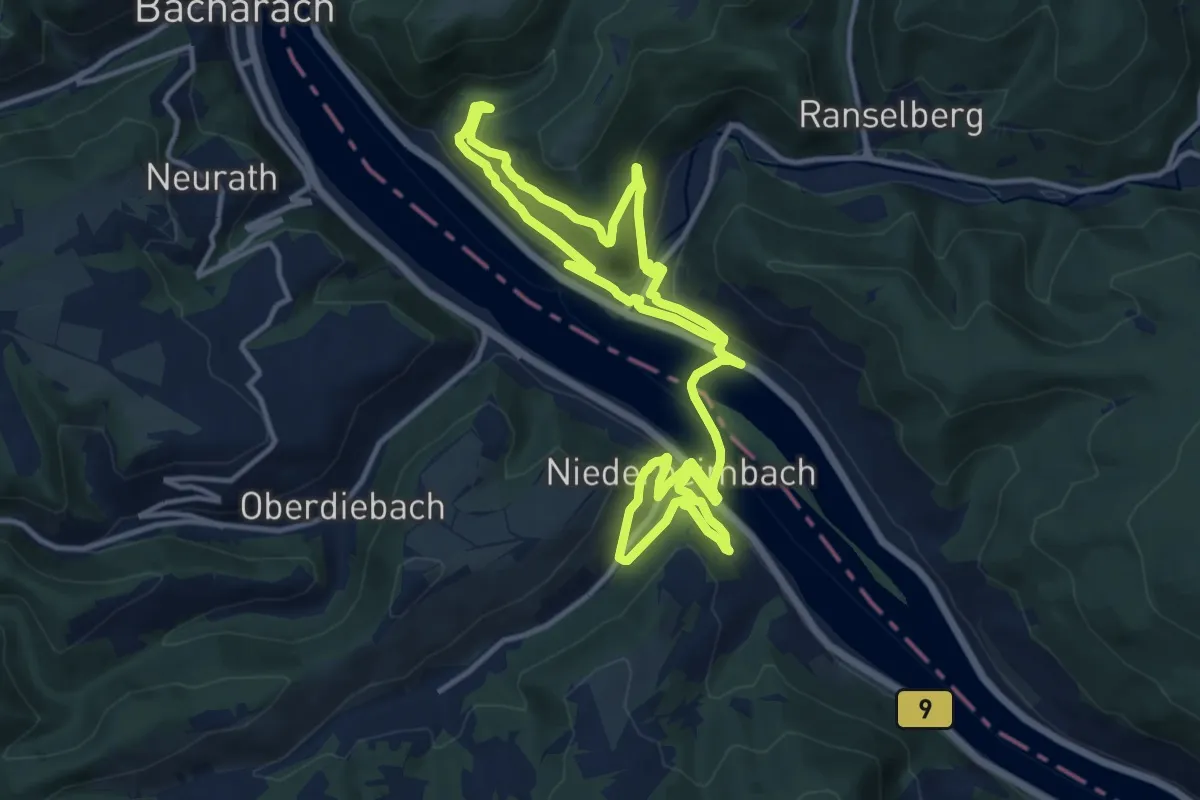
Medium · Trail
"Rhein über"
10.9 km · ↑ 314 m · 3 h 24 min