Trails in Germany
36,824 hiking trails, each with its route, climb, walking time and grade.
All trails, page 46 of 768
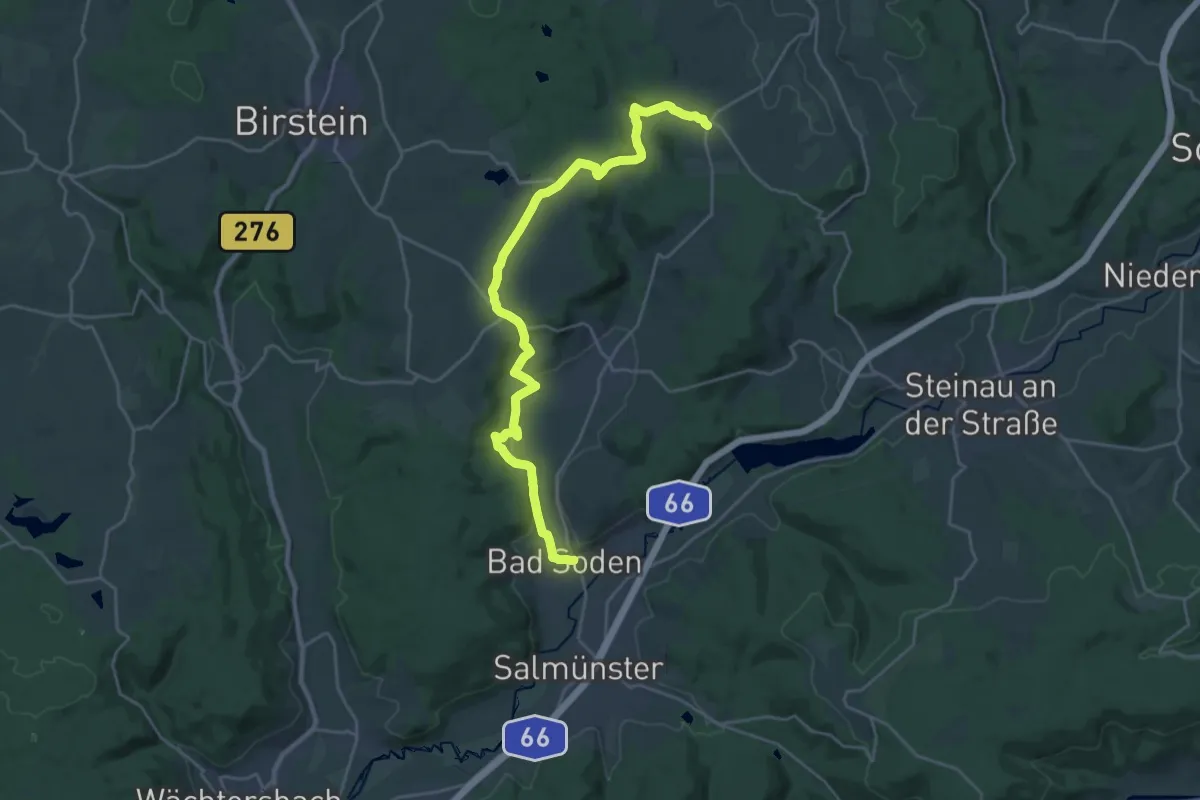
Demanding · Trail
Bad Soden-Salmünster Wanderweg Nr. 6
24.4 km · ↑ 521 m · 6 h 53 min
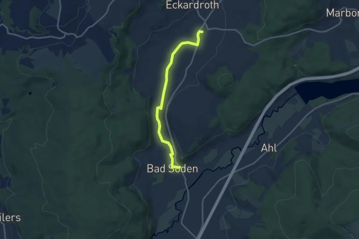
Medium · Trail
Bad Soden-Salmünster Wanderweg Nr. 8
8.0 km · ↑ 40 m · 1 h 59 min
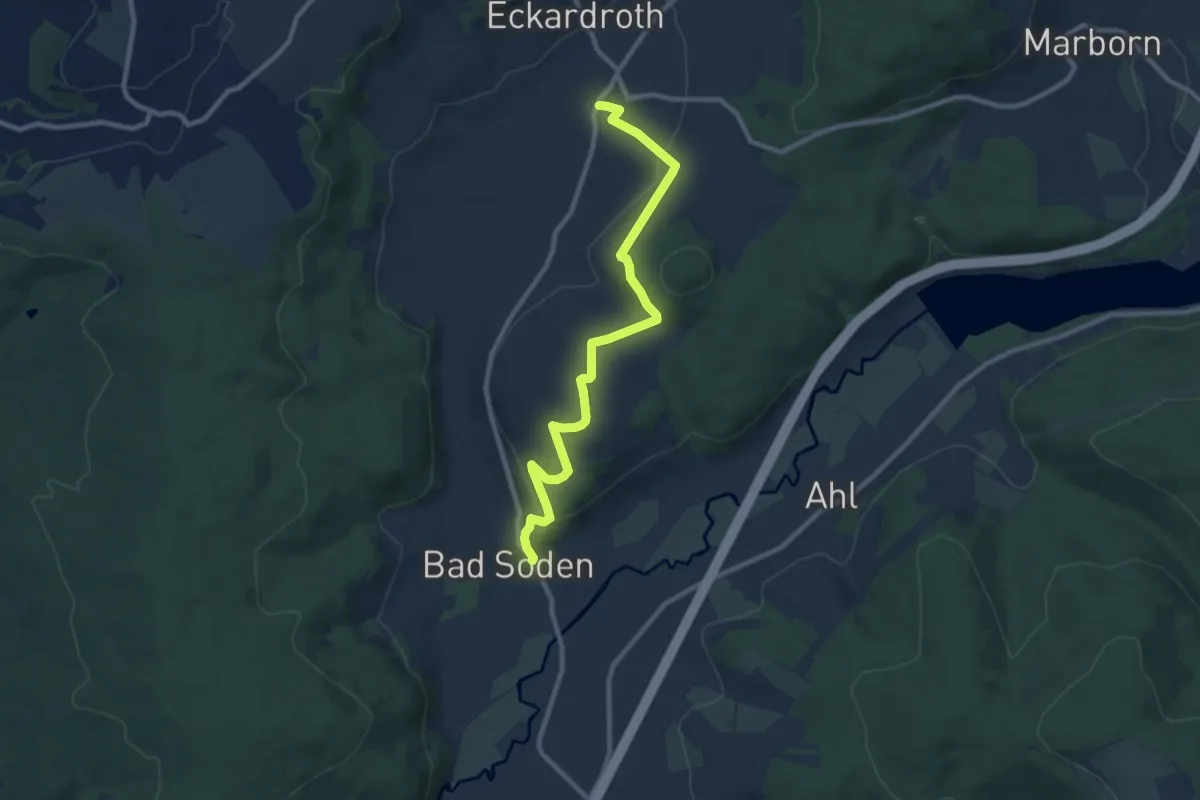
Medium · Trail
Bad Soden-Salmünster Wanderweg Nr. 9
9.2 km · ↑ 223 m · 2 h 40 min
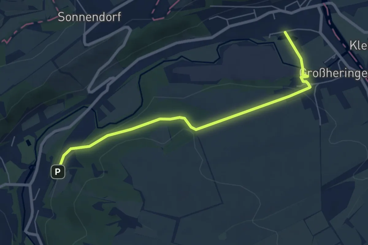
Easy · Trail
Bad Sulza-Verbindunsgwege
5.6 km · ↑ 130 m · 1 h 36 min
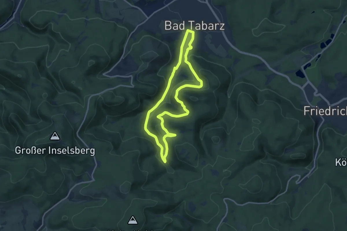
Medium · Summit
Bad Tabarzer Vulkansteig - GEO Route 8
9.4 km · ↑ 327 m · 3 h 4 min
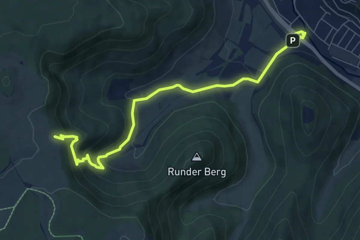
Medium · Trail
Bad Urach Gütersteiner Wasserfälle
7.3 km · ↑ 313 m · 2 h 24 min
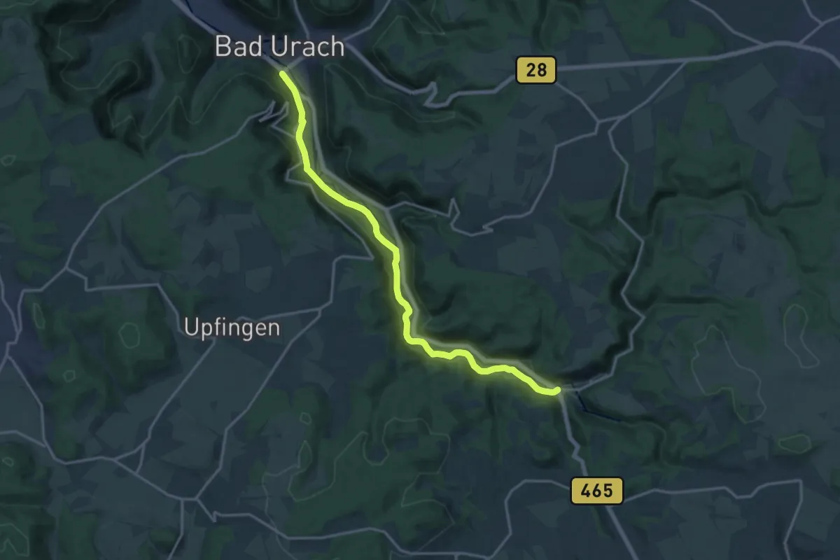
Medium · Trail
Bad Urach - Seeburg
15.3 km · ↑ 301 m · 4 h 15 min
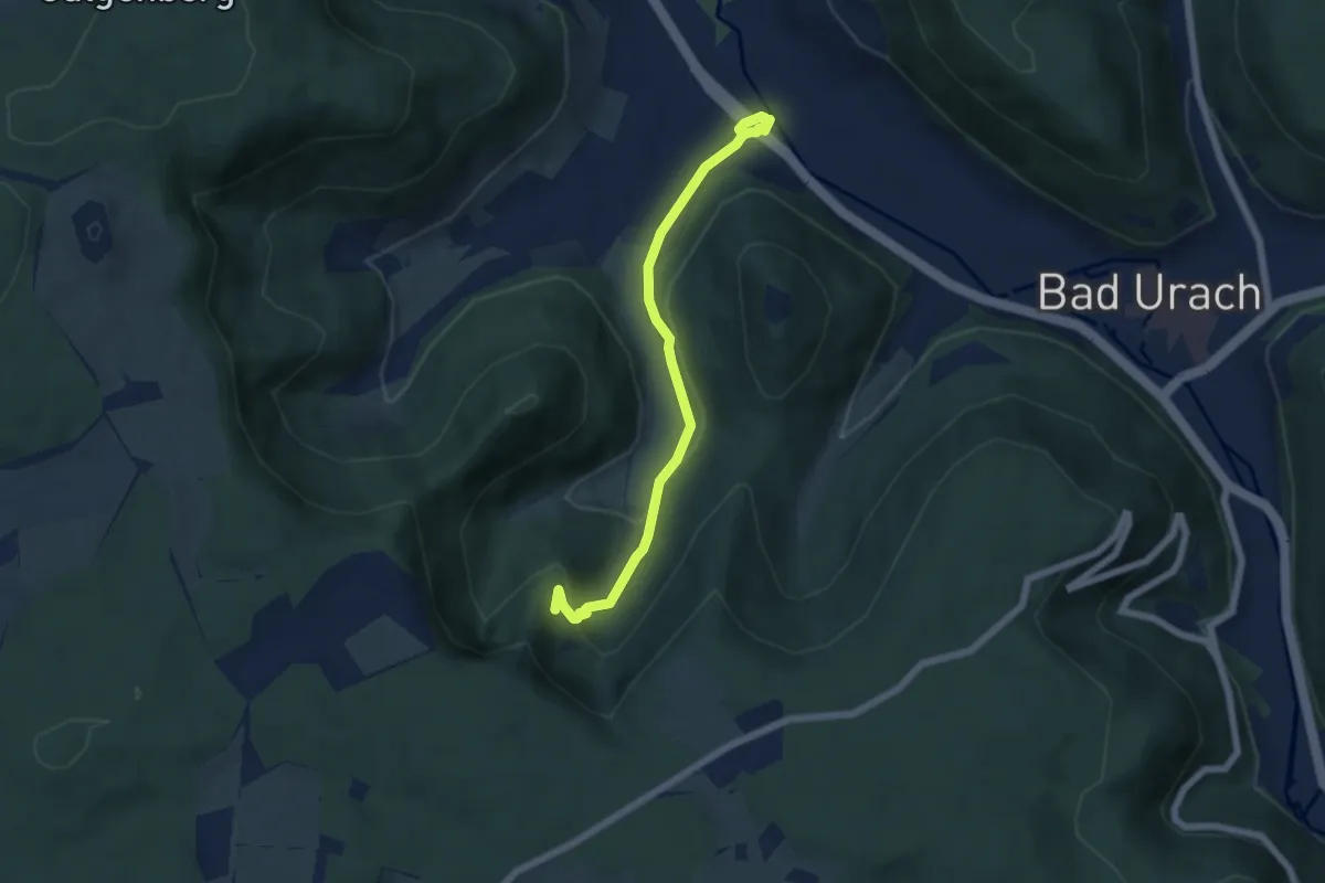
Easy · Trail
Bad Urach Wasserfall
5.5 km · ↑ 202 m · 1 h 45 min
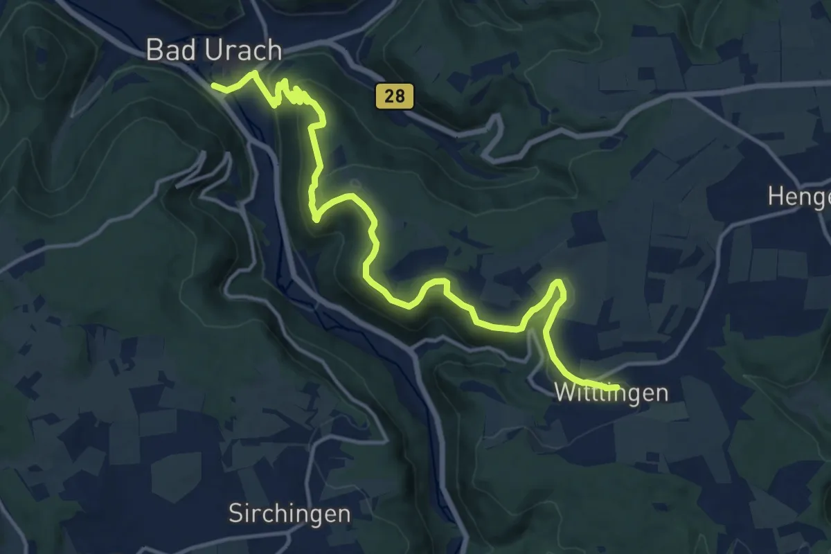
Medium · Trail
Bad Urach - Wittlingen
15.3 km · ↑ 471 m · 4 h 38 min
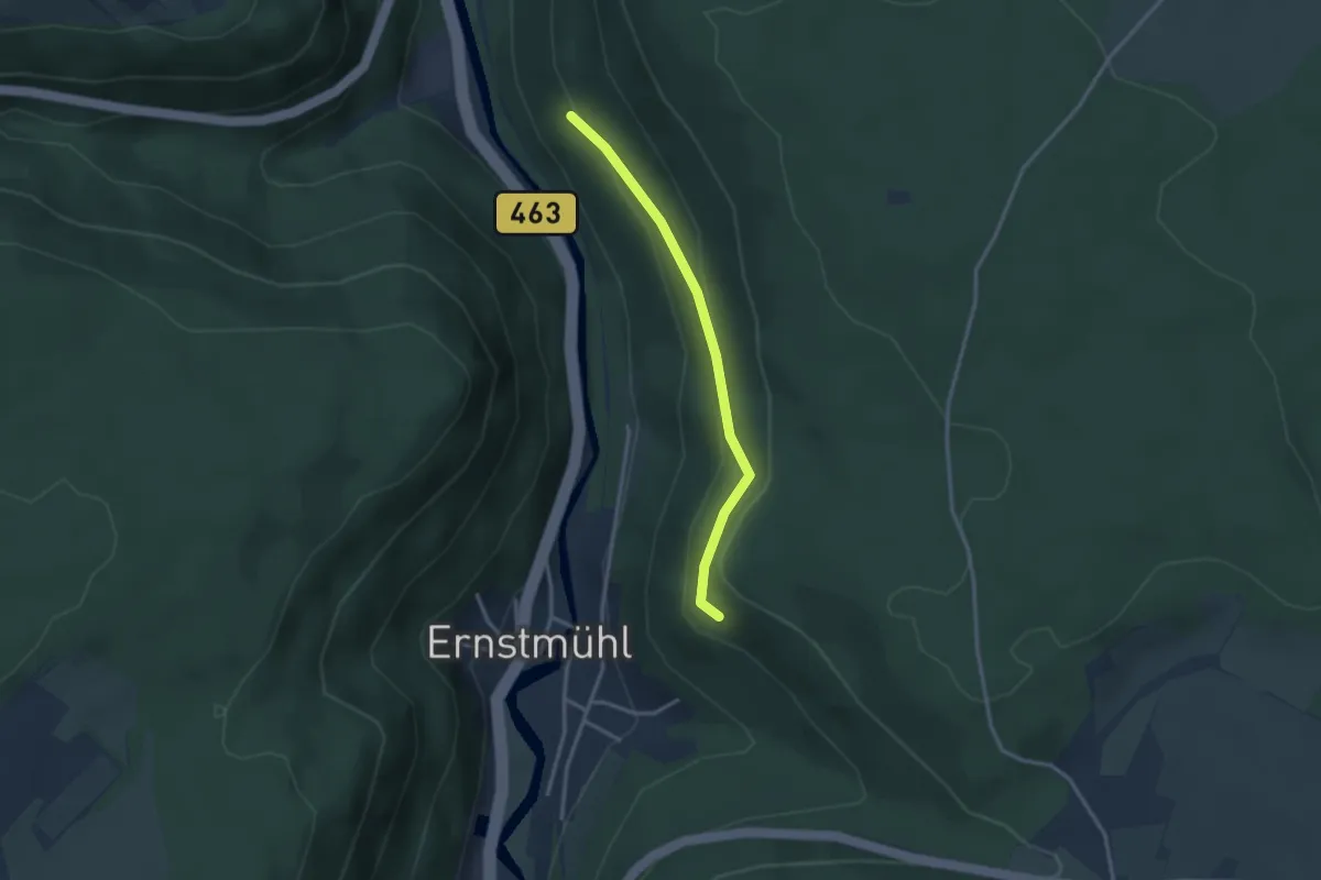
Easy · Trail
Badwald Abzwg. Ottenbronn - Dietersbachhalde
2.7 km · ↑ 105 m · 51 min
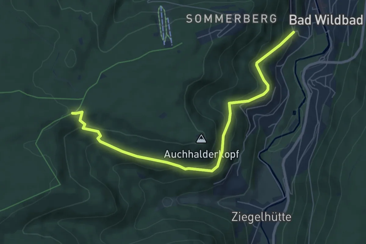
Medium · Trail
Bad Wildbad Sommersteige - 5 Bäume
6.8 km · ↑ 407 m · 2 h 30 min
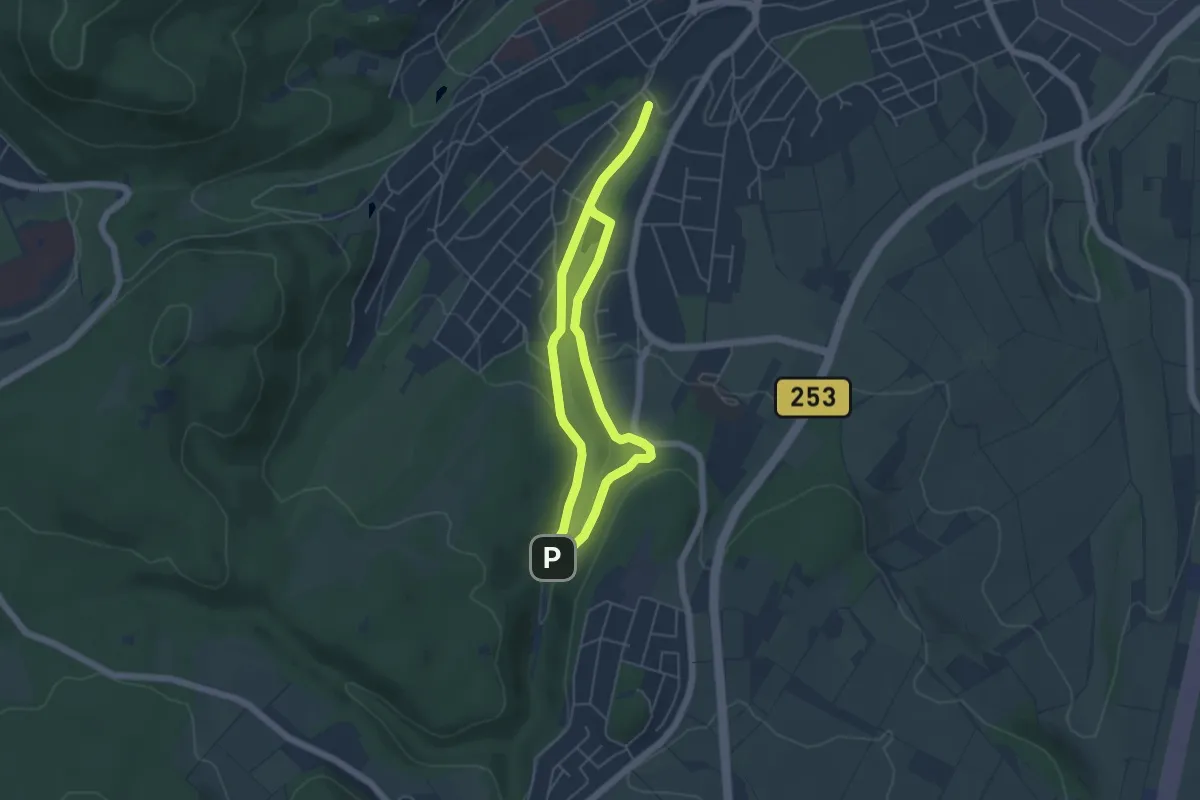
Easy · Trail
Bad Wildungen - W2
4.1 km · ↑ 76 m · 1 h 11 min
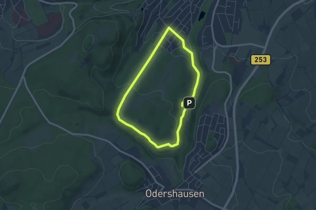
Easy · Trail
Bad Wildungen - W8
4.6 km · ↑ 108 m · 1 h 23 min
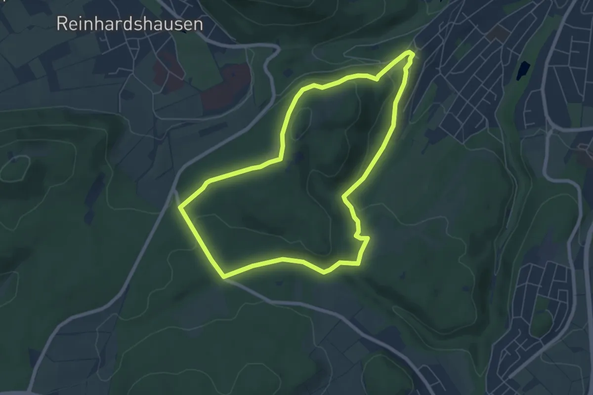
Easy · Trail
Bad Wildungen - W9
5.7 km · ↑ 127 m · 1 h 42 min
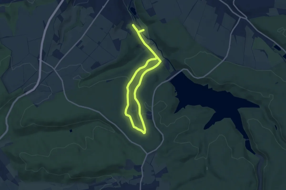
Medium · Trail
Bad Wünnenberg Rundweg W8
12.3 km · ↑ 261 m · 3 h 28 min
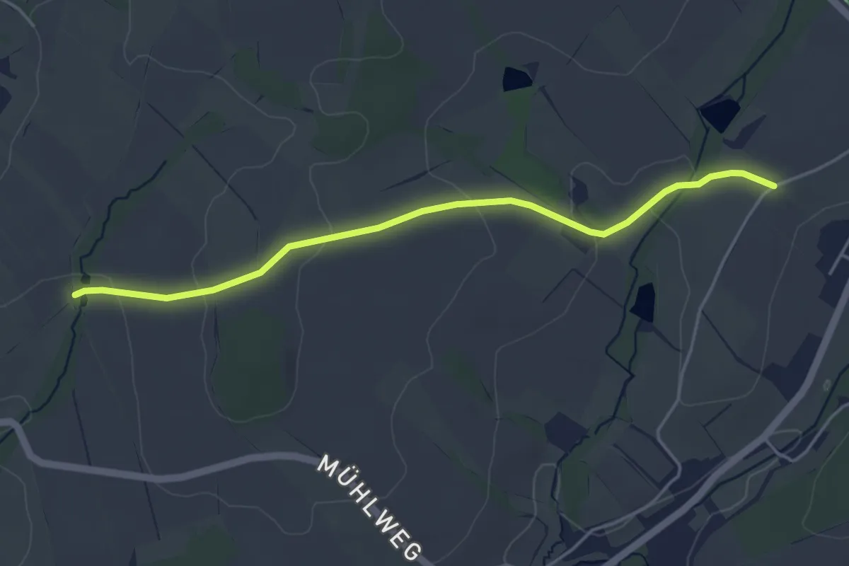
Easy · Trail
Baerlochweg
4.1 km · ↑ 73 m · 1 h 7 min
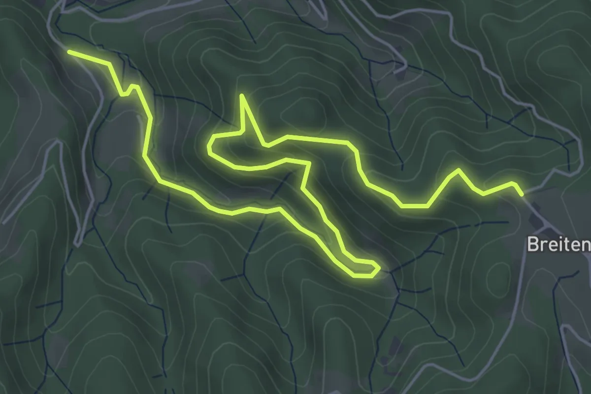
Medium · Trail
Bägoldsbach - Breitenberg Bildstöckle
7.5 km · ↑ 388 m · 2 h 36 min
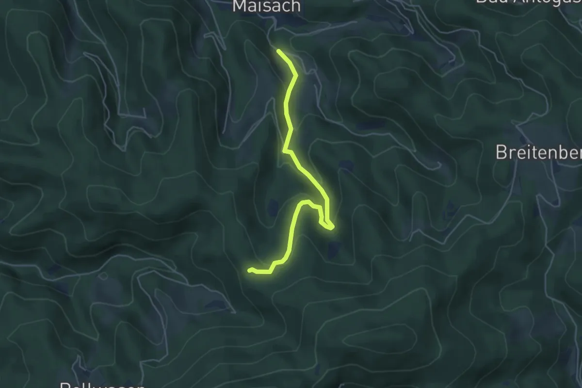
Easy · Trail
Bägoldsbach - Wassereck
4.3 km · ↑ 247 m · 1 h 33 min
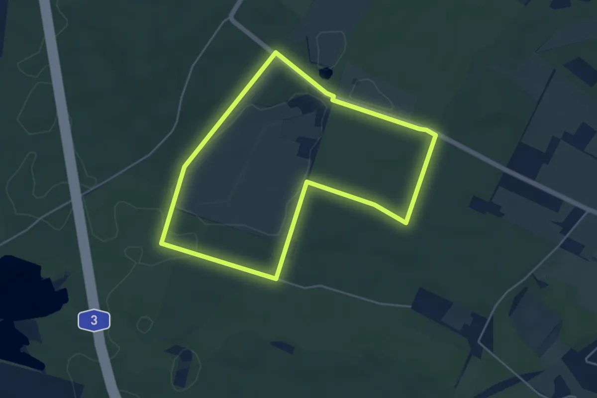
Easy · Trail
Bahlenberg Rundweg A7
3.9 km · ↑ 14 m · 1 h
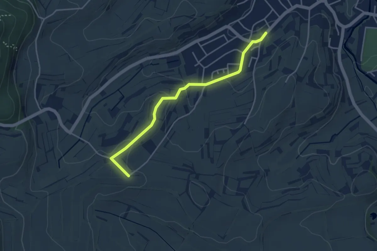
Easy · Trail
Bahlingen Unterriesengasse - Sieben-Weg
3.3 km · ↑ 58 m · 54 min
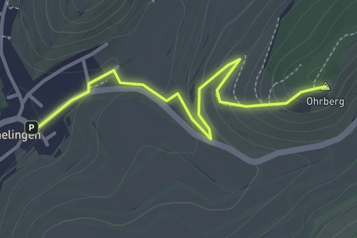
Easy · Summit
Bahlinger Eck Parkplatz - Schelingen Kirchplatz
2.4 km · ↑ 110 m · 49 min
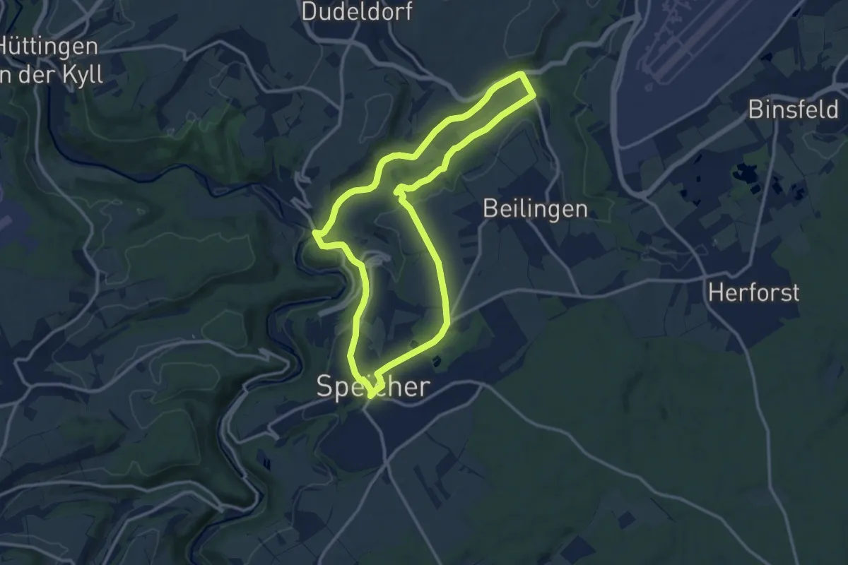
Medium · Trail
Bähnchenweg
10.8 km · ↑ 181 m · 3 h 5 min
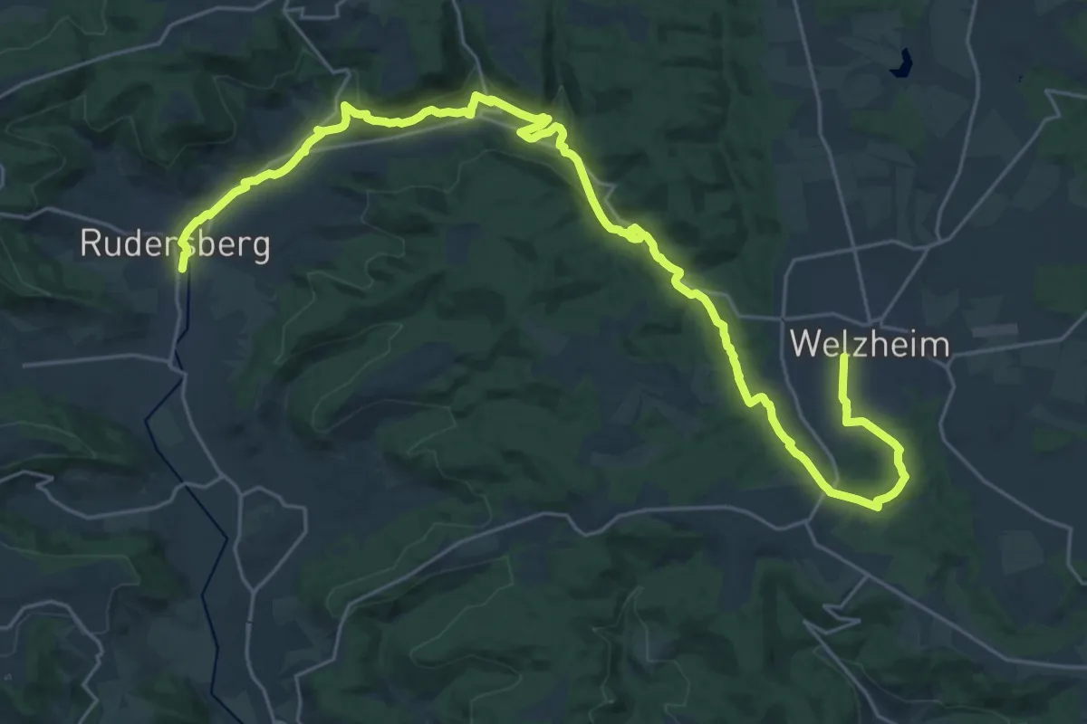
Medium · Trail
Bahnerlebnispfad
15.4 km · ↑ 200 m · 4 h 24 min
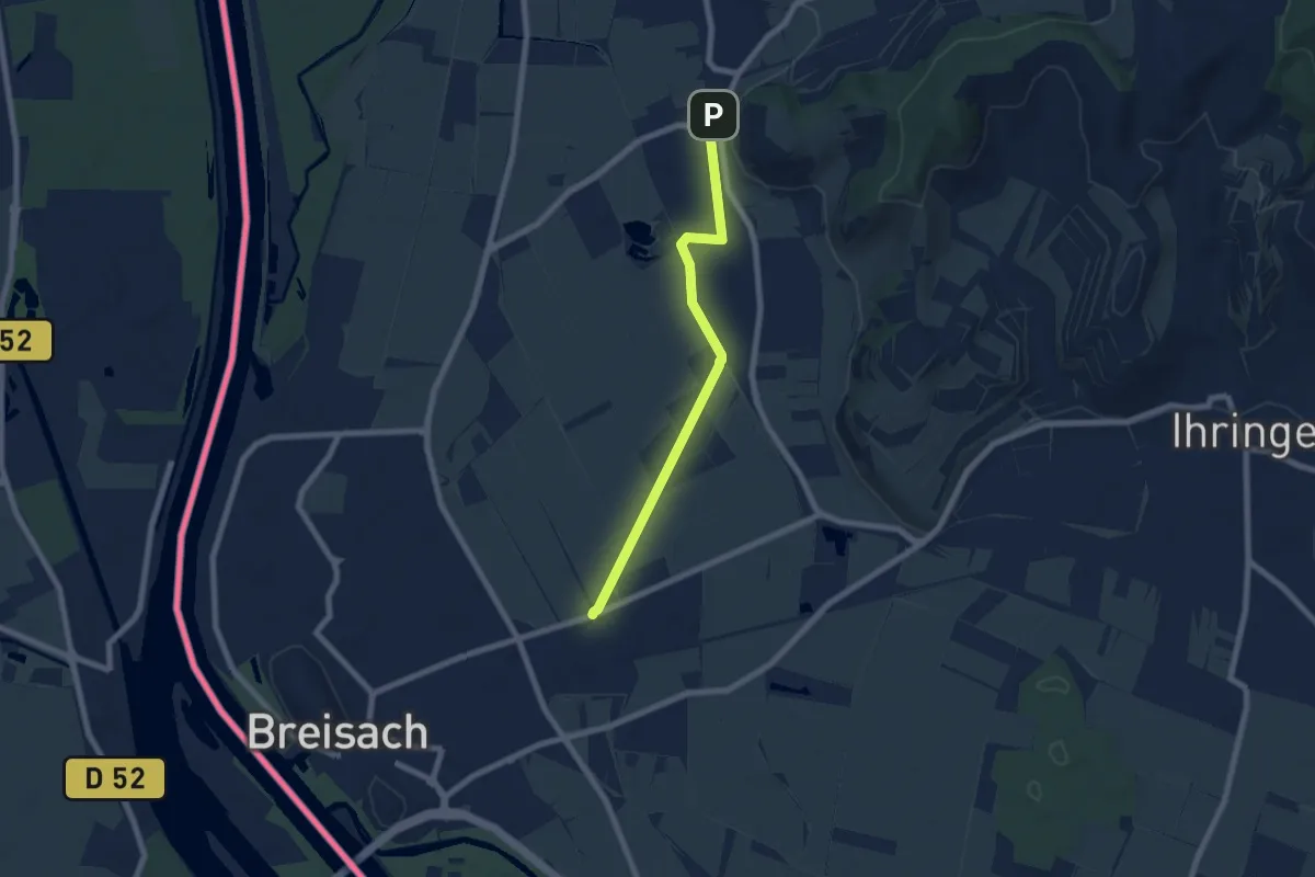
Easy · Trail
Bahnhof Achkarren - Badischer Winzerkeller
6.4 km · ↑ 4 m · 1 h 32 min
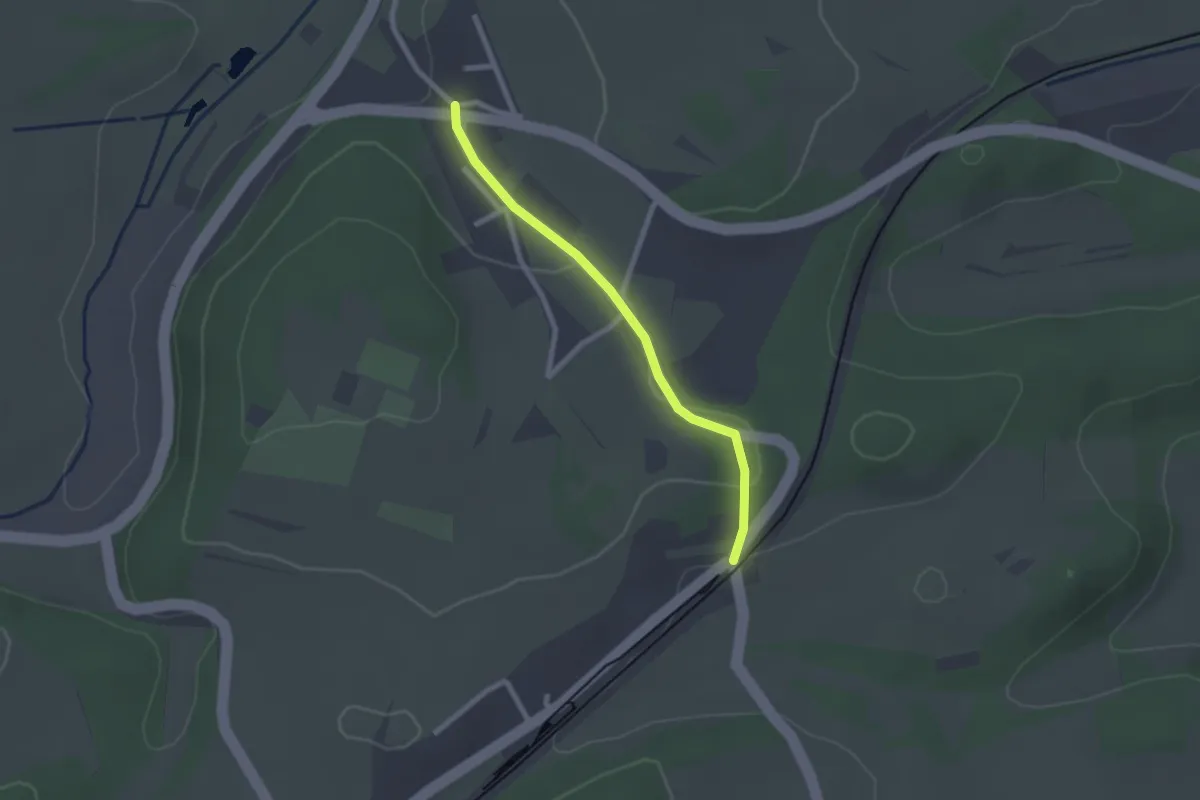
Easy · Trail
Bahnhof Altheim-Rexingen - Altheim Alte Steige
2.0 km · ↑ 26 m · 32 min
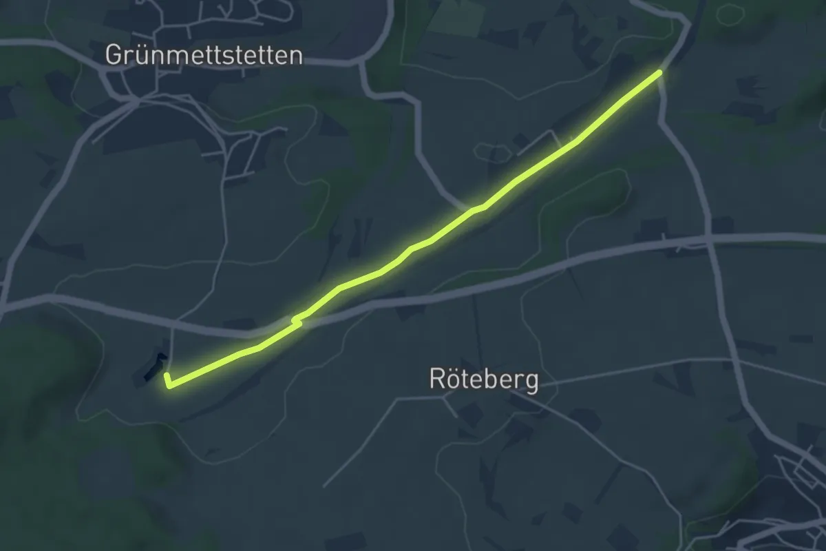
Easy · Trail
Bahnhof Altheim-Rexingen - Beim Seehaus
4.4 km · ↑ 13 m · 1 h 5 min
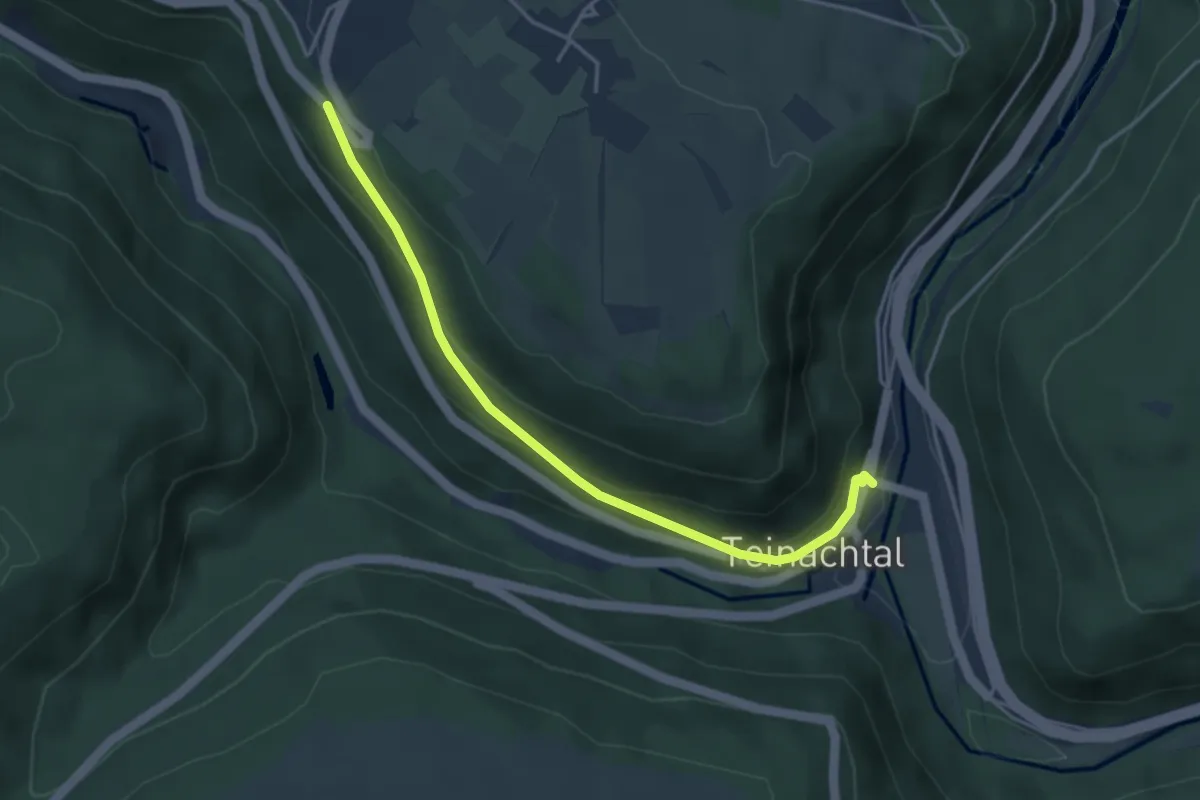
Easy · Trail
Bahnhof Bad Teinach - Alte Steige
3.8 km · ↑ 190 m · 1 h 19 min
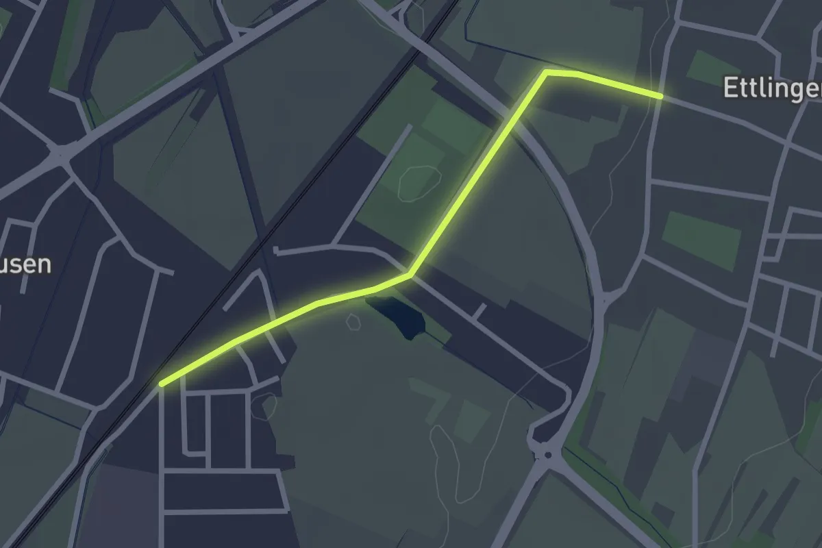
Easy · Trail
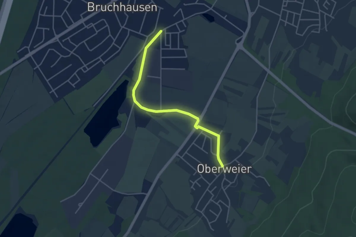
Bahnhof Bruchhausen - Ettlingenweier Römerstraße
2.2 km · ↑ 4 m · 31 min
Easy · Trail
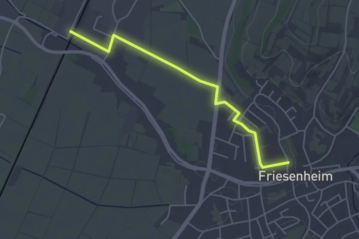
Bahnhof Bruchhausen - Oberweier Rathaus
3.6 km · ↑ 23 m · 53 min
Easy · Trail
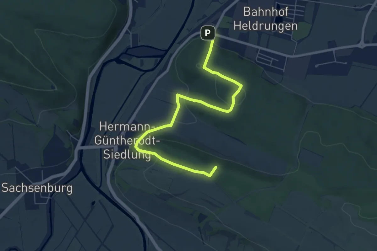
Bahnhof Friesenheim - ?
4.0 km · ↑ 4 m · 58 min
Easy · Summit
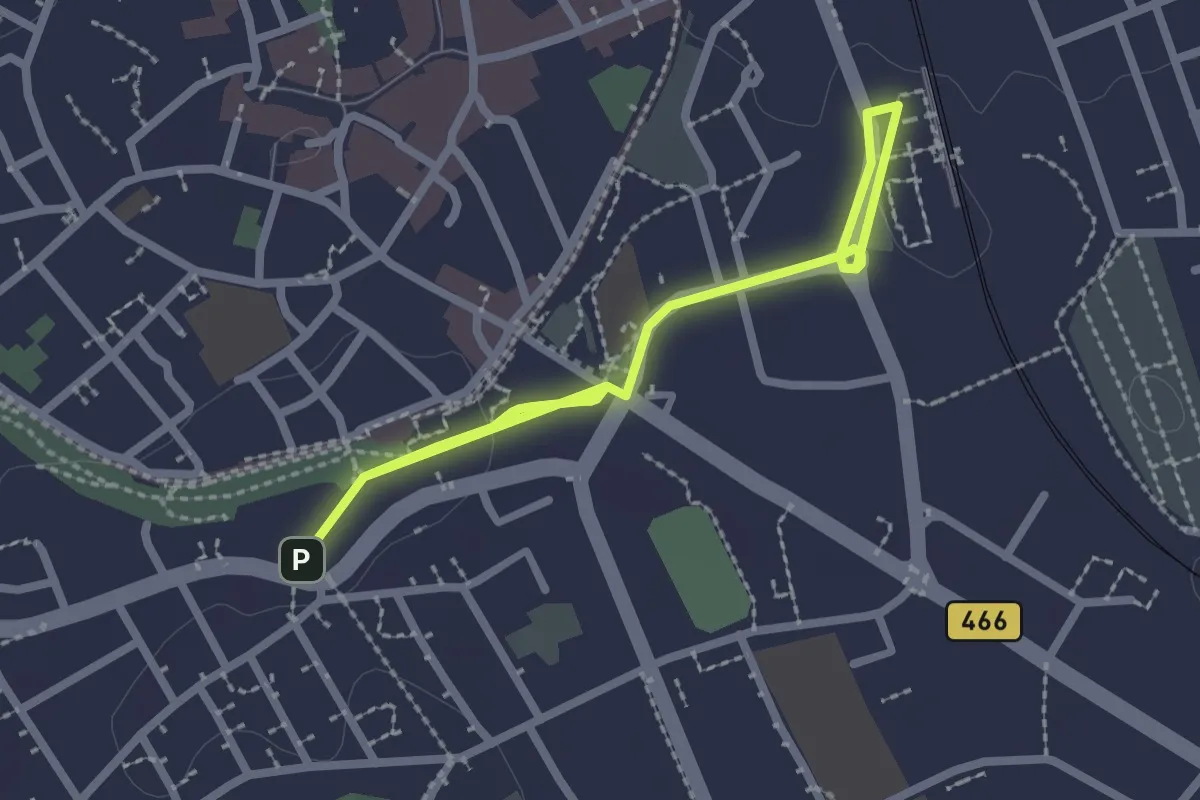
Bahnhof Heldrungen-Sachsenburg-Schmücke
6.7 km · ↑ 222 m · 2 h 3 min
Easy · Trail
Bahnhof - HW1
3.3 km · ↑ 18 m · 49 min
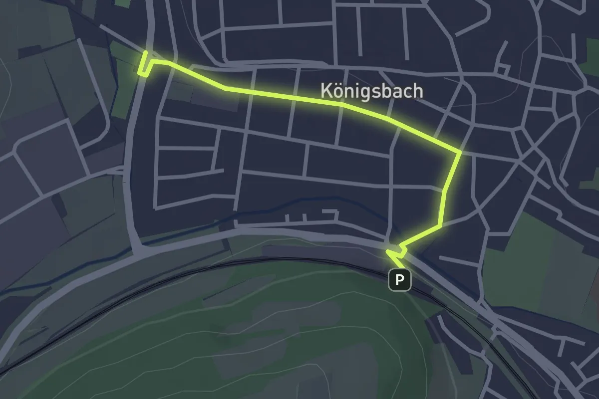
Easy · Trail
Bahnhof Königsbach - Königsbach Reitplatz
2.6 km · ↑ 22 m · 39 min
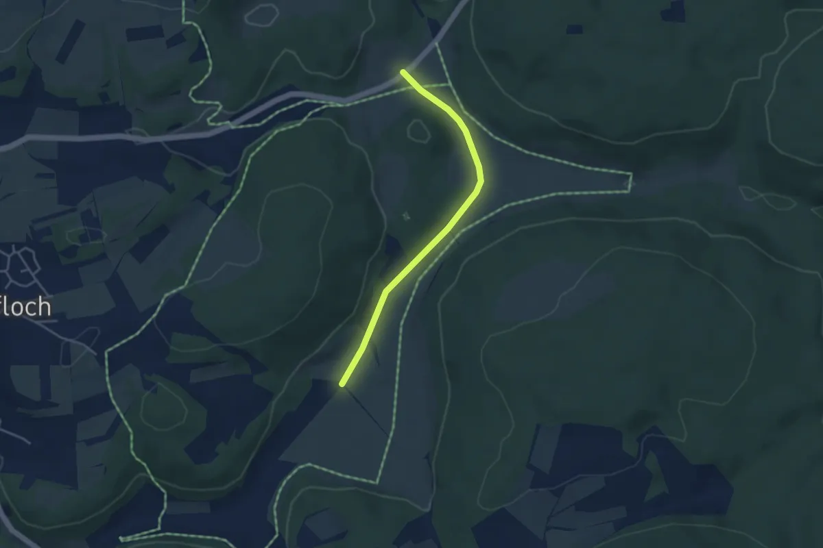
Easy · Trail
Bahnhöfle - Harpprechthaus
3.5 km · ↑ 35 m · 54 min
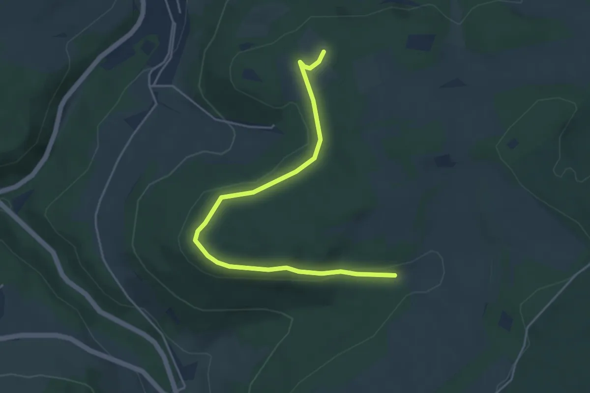
Easy · Trail
Bahnhöfle - Kleiner Sportplatz
4.4 km · ↑ 82 m · 1 h 13 min
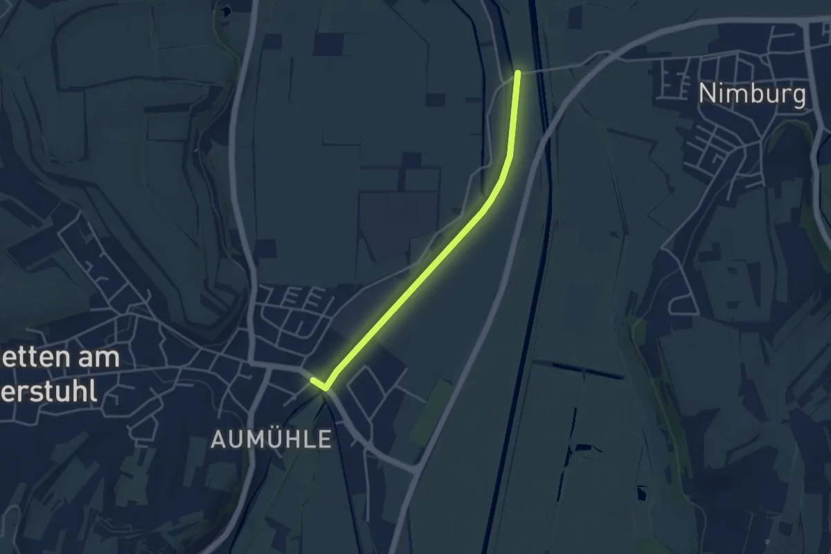
Easy · Trail
Bahnhof Nimburg - Eichstetten Wasserturm
3.5 km · ↑ 4 m · 50 min
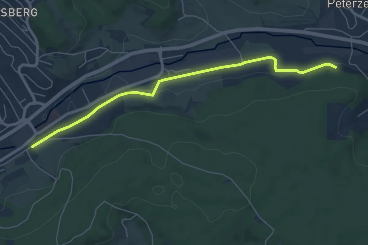
Easy · Trail
Bahnhof - Sägebauernhof
5.2 km · ↑ 43 m · 1 h 20 min
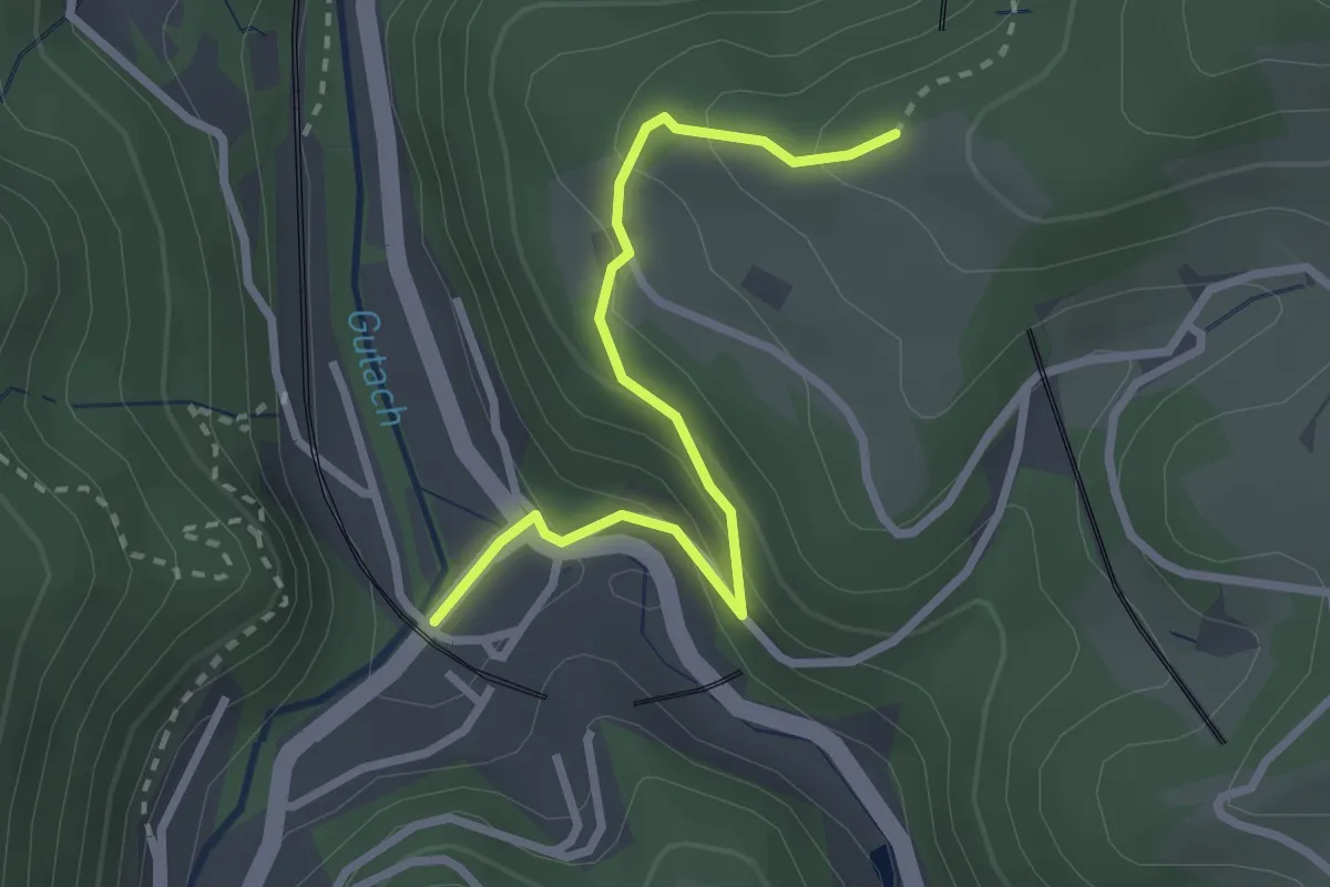
Easy · Trail
Bahnhofsbrücke - Feißesberg West
2.6 km · ↑ 171 m · 59 min
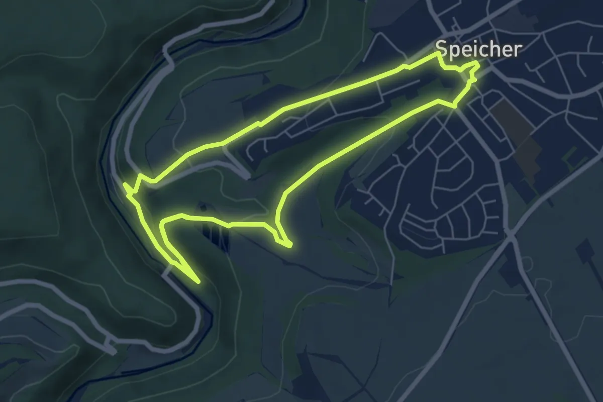
Easy · Trail
Bahnhofsweg
5.5 km · ↑ 175 m · 1 h 43 min
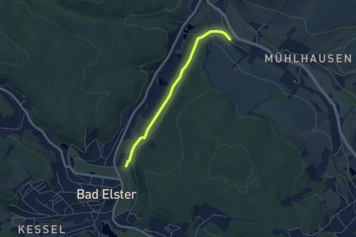
Easy · Trail
Bahnhofsweg
4.1 km · ↑ 48 m · 1 h 4 min
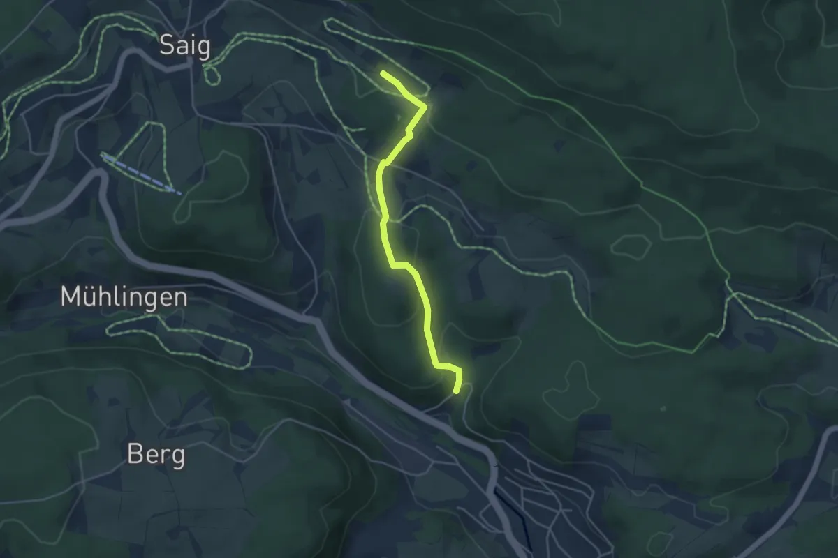
Easy · Trail
Bahnholzweg - Vitenhof
3.7 km · ↑ 150 m · 1 h 13 min
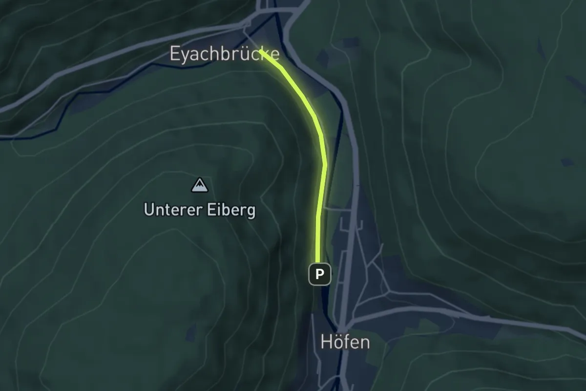
Easy · Trail
Bahnübergang Dennacher Weg - Karl-Bierhalter-Haus
2.5 km · ↑ 46 m · 41 min
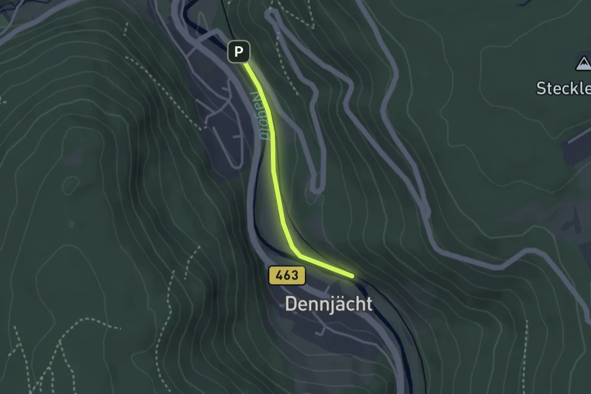
Easy · Trail
Bahnübergang - Dennjächt
2.1 km · ↑ 19 m · 33 min
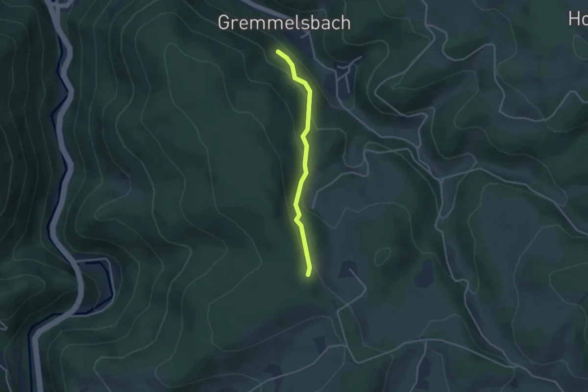
Easy · Trail
Bahnunterführung - Hohnen
2.6 km · ↑ 178 m · 1 h
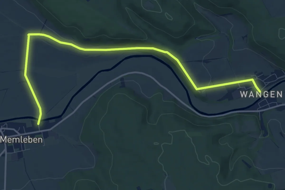
Medium · Trail
Bahnwanderweg
11.0 km · ↑ 136 m · 2 h 53 min
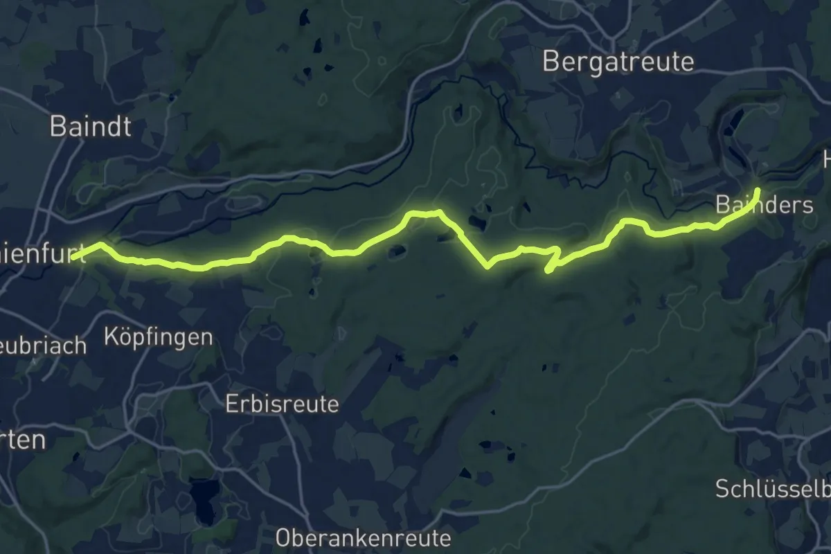
Demanding · Trail
Baienfurt- HW4 Alttann
20.5 km · ↑ 442 m · 5 h 48 min
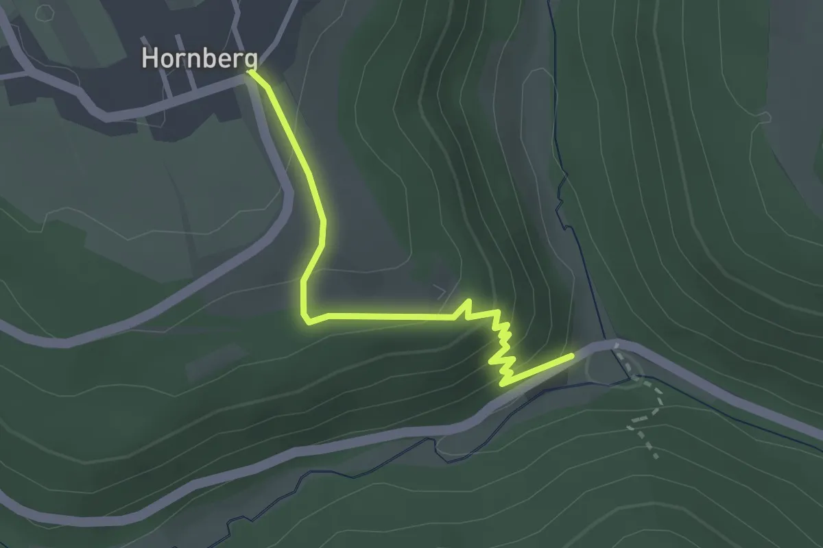
Easy · Trail
Baiermühle - Hornberg
2.5 km · ↑ 154 m · 55 min
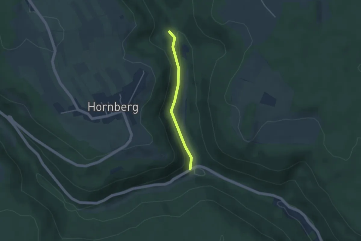
Easy · Trail
Baiermühle - Unterer Schloßberg
2.4 km · ↑ 66 m · 43 min