Trails in Germany
36,852 hiking trails, each with its route, climb, walking time and grade.
All trails, page 556 of 768
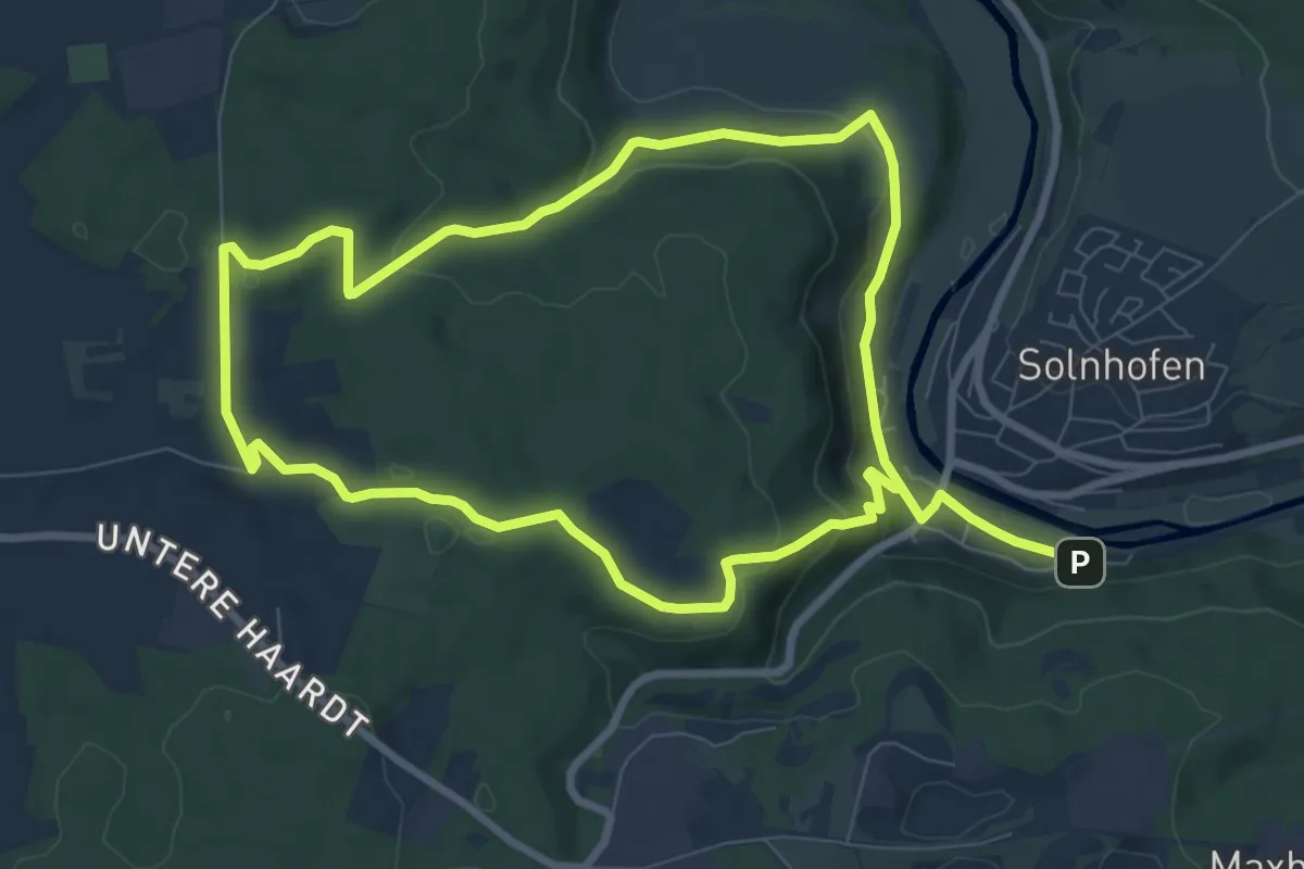
Easy · Trail
Rundweg Solnhofen 5
7.8 km · ↑ 203 m · 2 h 23 min
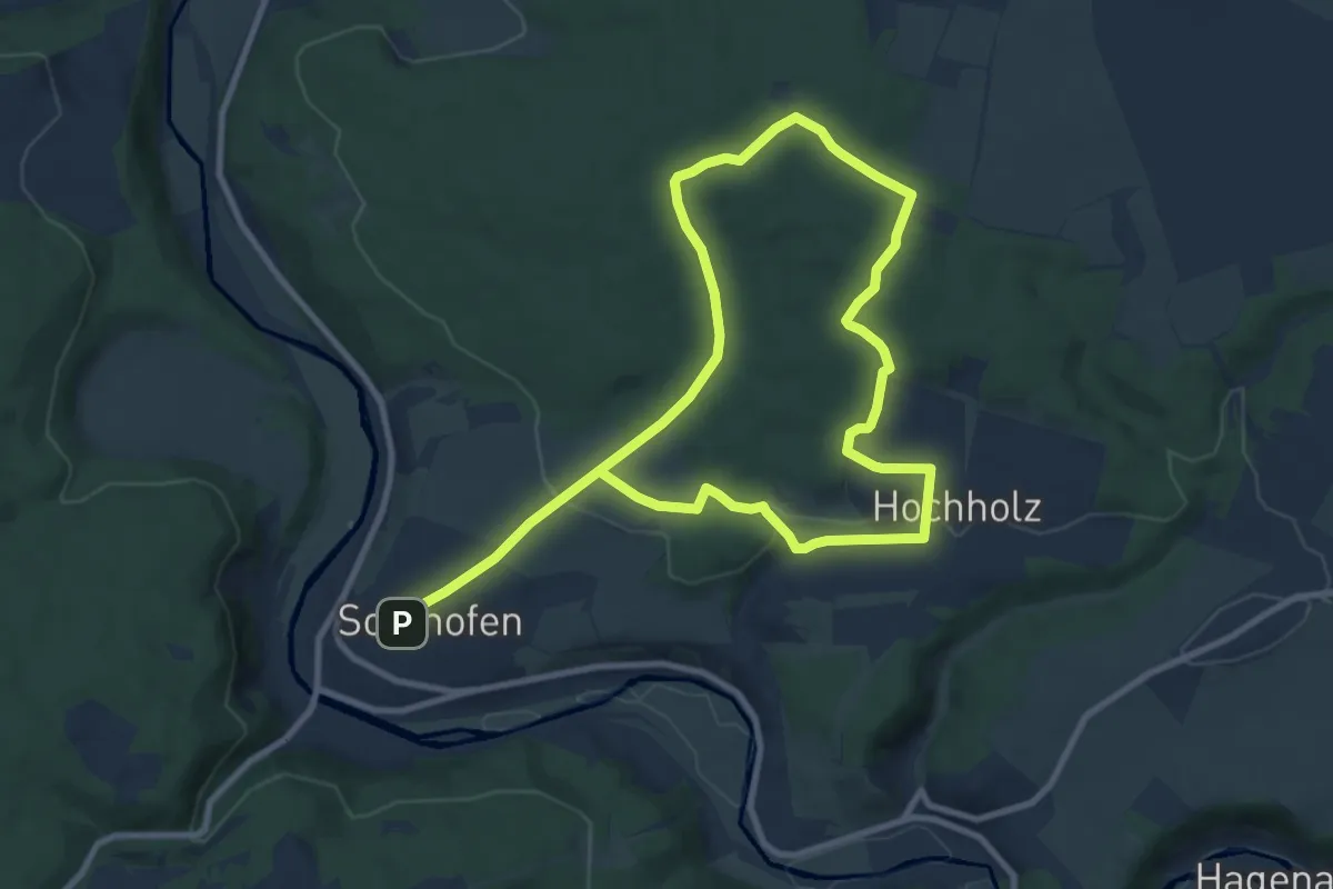
Easy · Summit
Rundweg Solnhofen 7
7.7 km · ↑ 163 m · 2 h 16 min
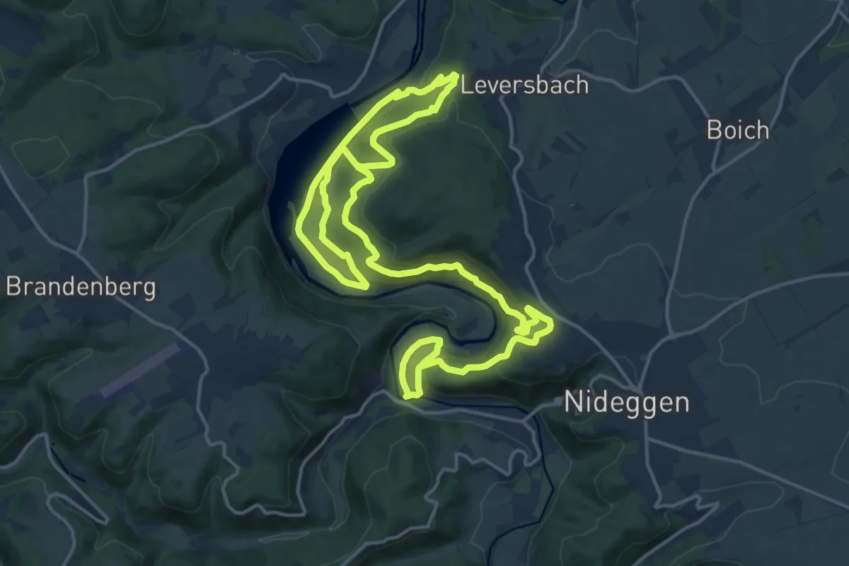
Medium · Trail
Rundweg Sonne
13.5 km · ↑ 412 m · 4 h 18 min
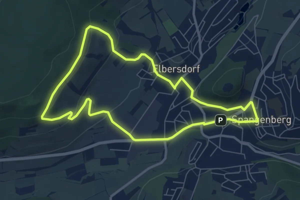
Easy · Trail
Rundweg Spangenberg Elbersdorf
5.6 km · ↑ 172 m · 1 h 46 min
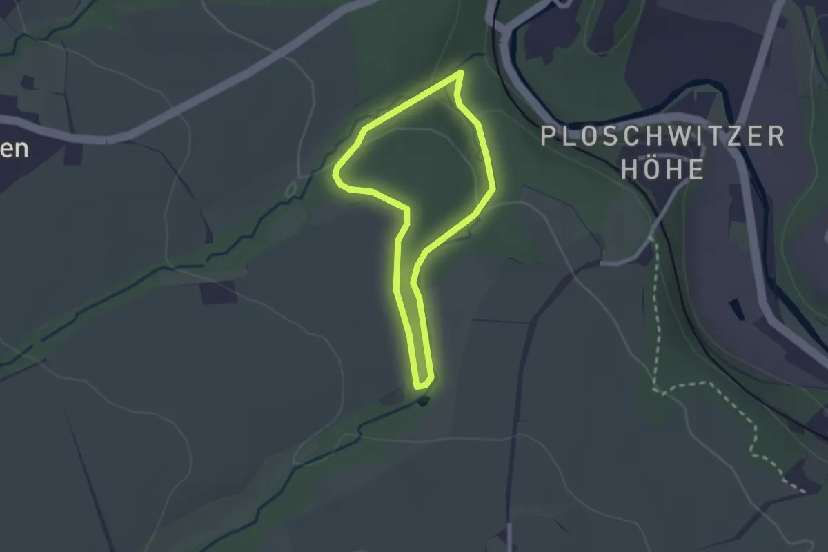
Easy · Trail
Rundweg Spargründe
1.8 km · ↑ 31 m · 30 min
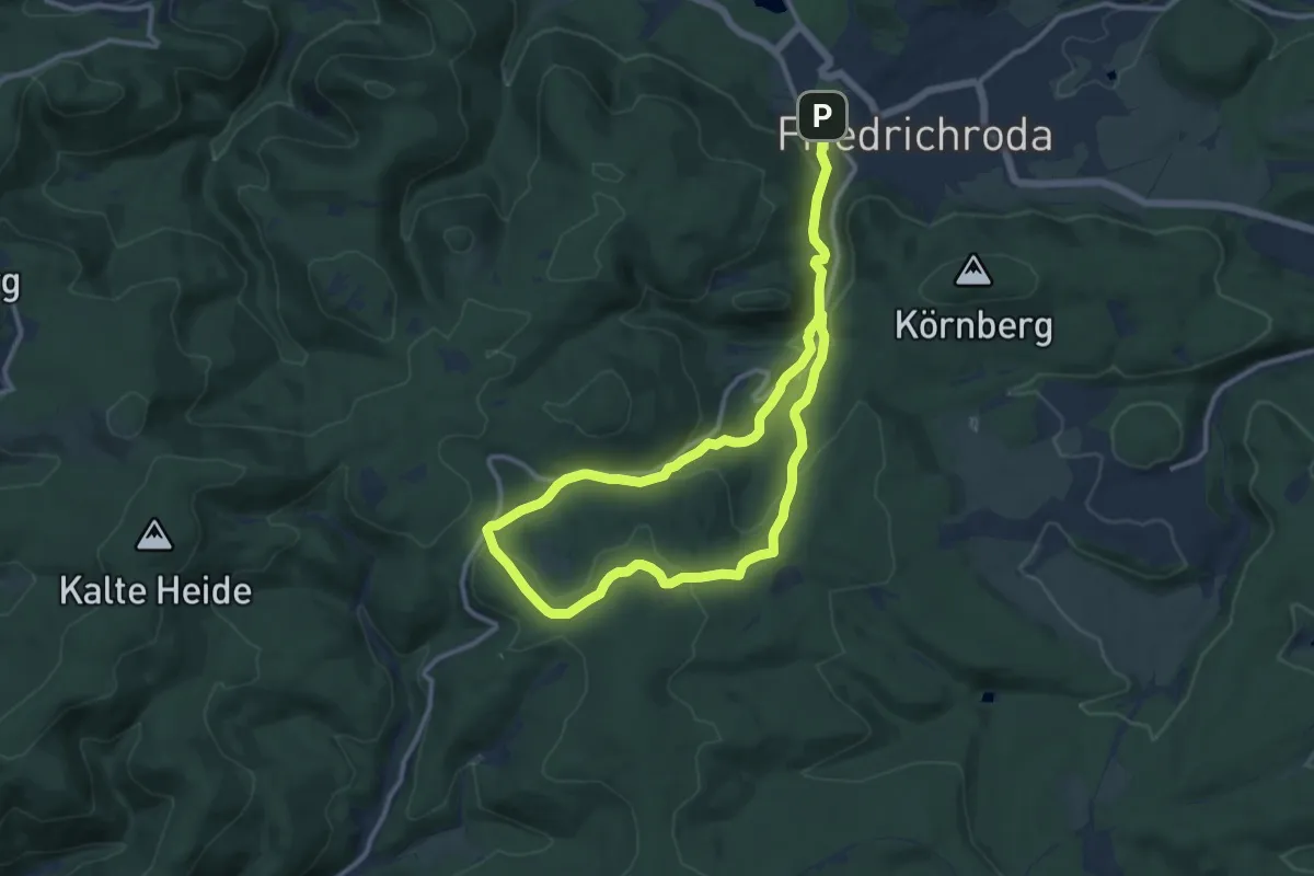
Medium · Trail
Rundweg Spießberghaus
8.8 km · ↑ 304 m · 2 h 50 min
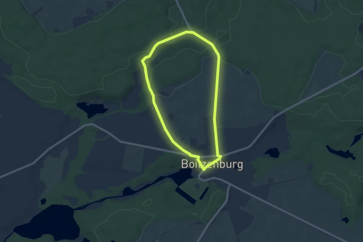
Easy · Trail
Rundweg Spring
4.6 km · ↑ 45 m · 1 h 15 min
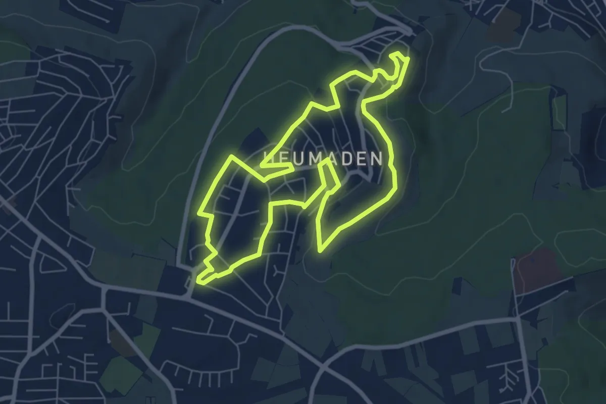
Easy · Trail
Rundweg Stadtteil Heumaden
6.5 km · ↑ 109 m · 1 h 51 min
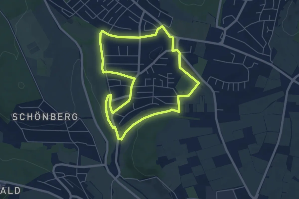
Easy · Trail
Rundweg Stadtteil Riedenberg
5.0 km · ↑ 61 m · 1 h 22 min
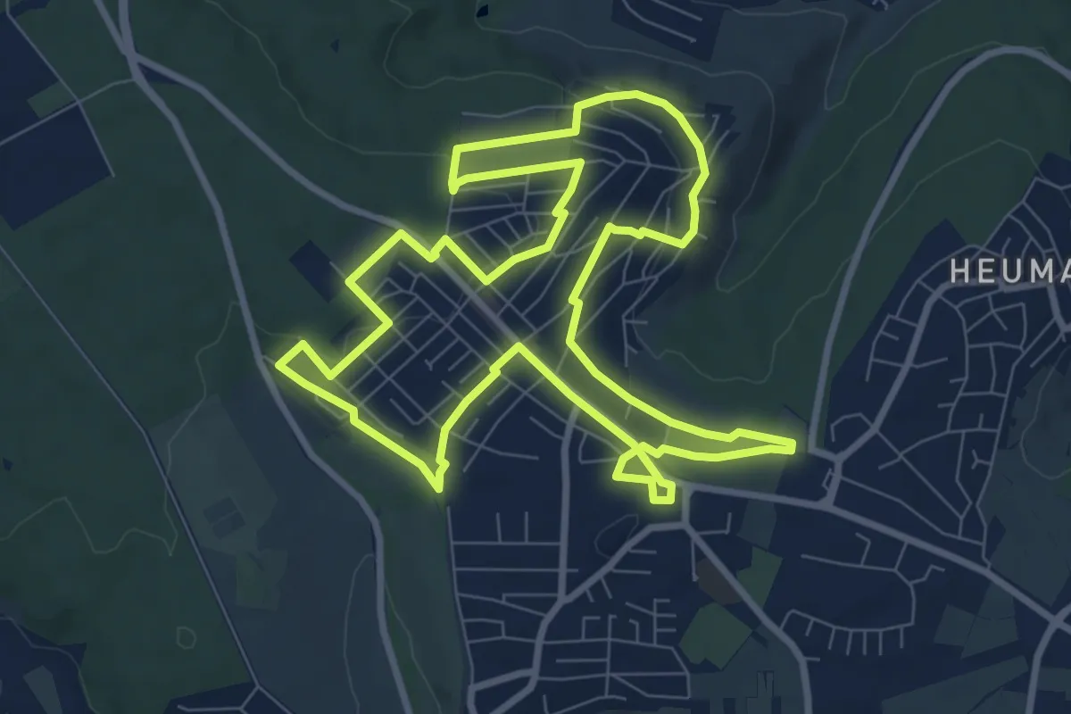
Medium · Trail
Rundweg Stadtteil Sillenbuch
8.7 km · ↑ 115 m · 2 h 26 min
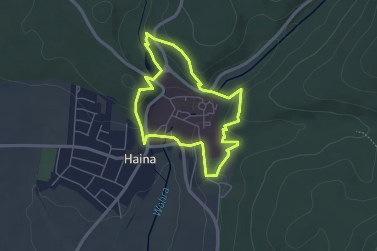
Easy · Trail
Rundweg Stamfordscher Garten
3.2 km · ↑ 97 m · 1 h 1 min
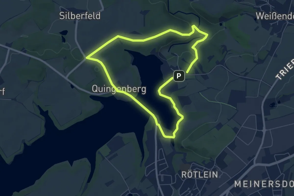
Easy · Trail
Rundweg Staudamm
5.6 km · ↑ 74 m · 1 h 34 min
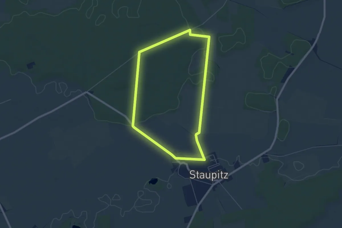
Easy · Trail
Rundweg Staupitz
4.9 km · ↑ 25 m · 1 h 17 min
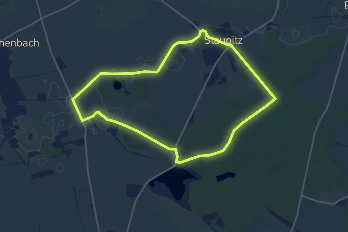
Medium · Trail
Rundweg Staupitz-Neumühle
9.1 km · ↑ 35 m · 2 h 20 min
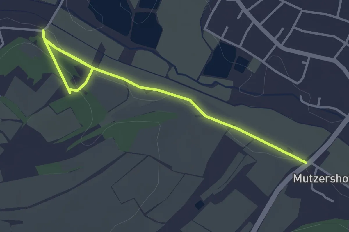
Easy · Trail
Rundweg Stegaurach S2
1.8 km · ↑ 19 m · 30 min
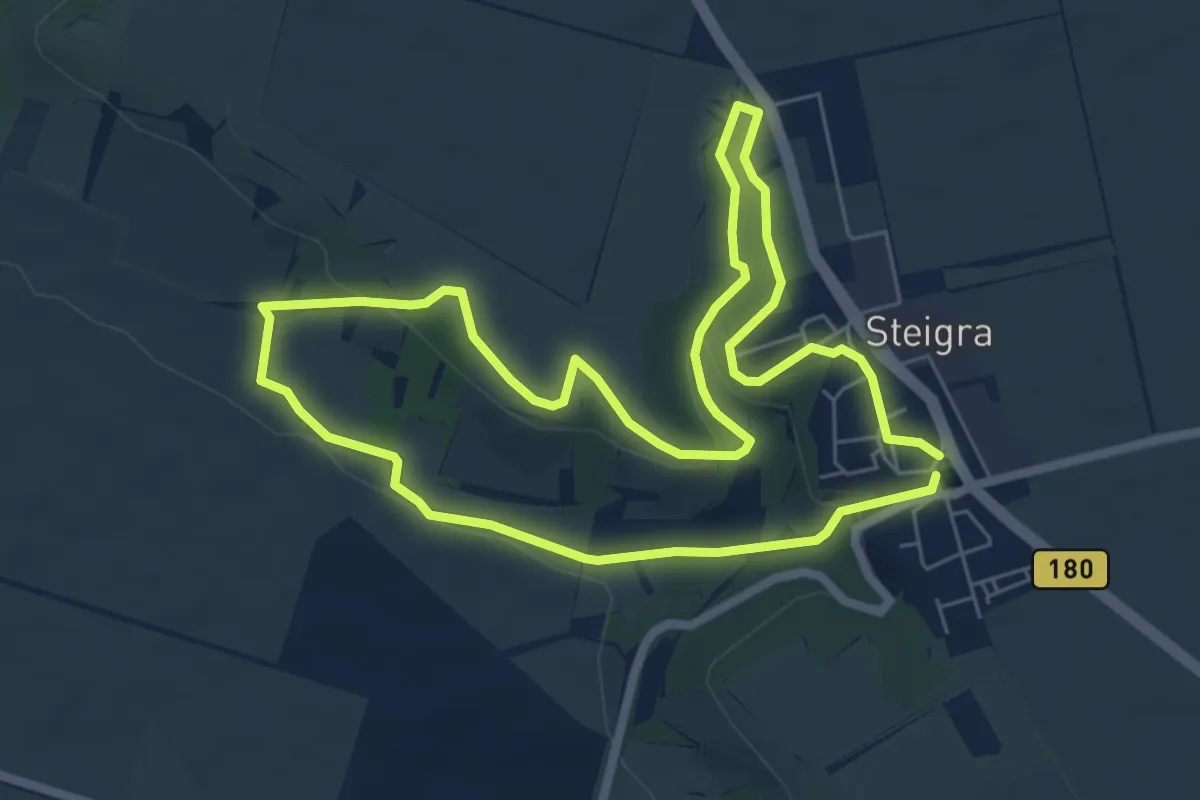
Easy · Trail
Rundweg Steigra
5.9 km · ↑ 101 m · 1 h 41 min
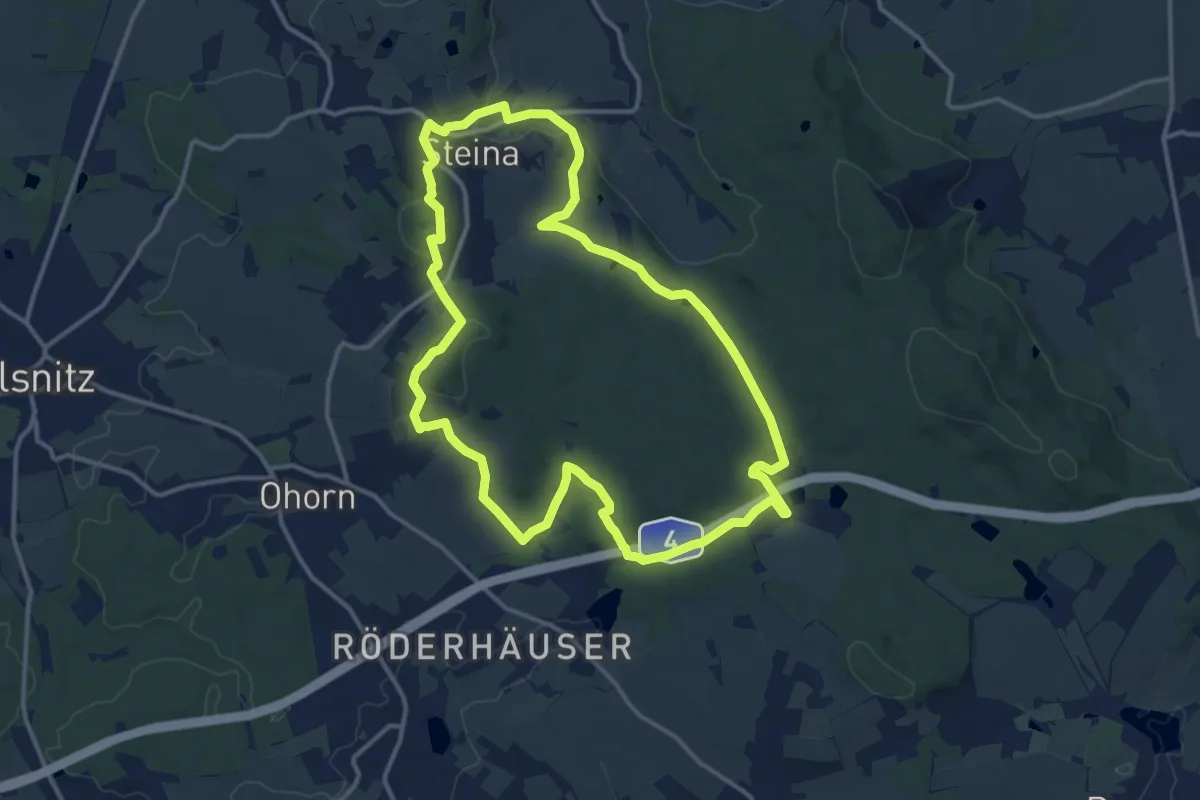
Medium · Summit
Rundweg Steina-Luchsenburg
12.4 km · ↑ 240 m · 3 h 37 min
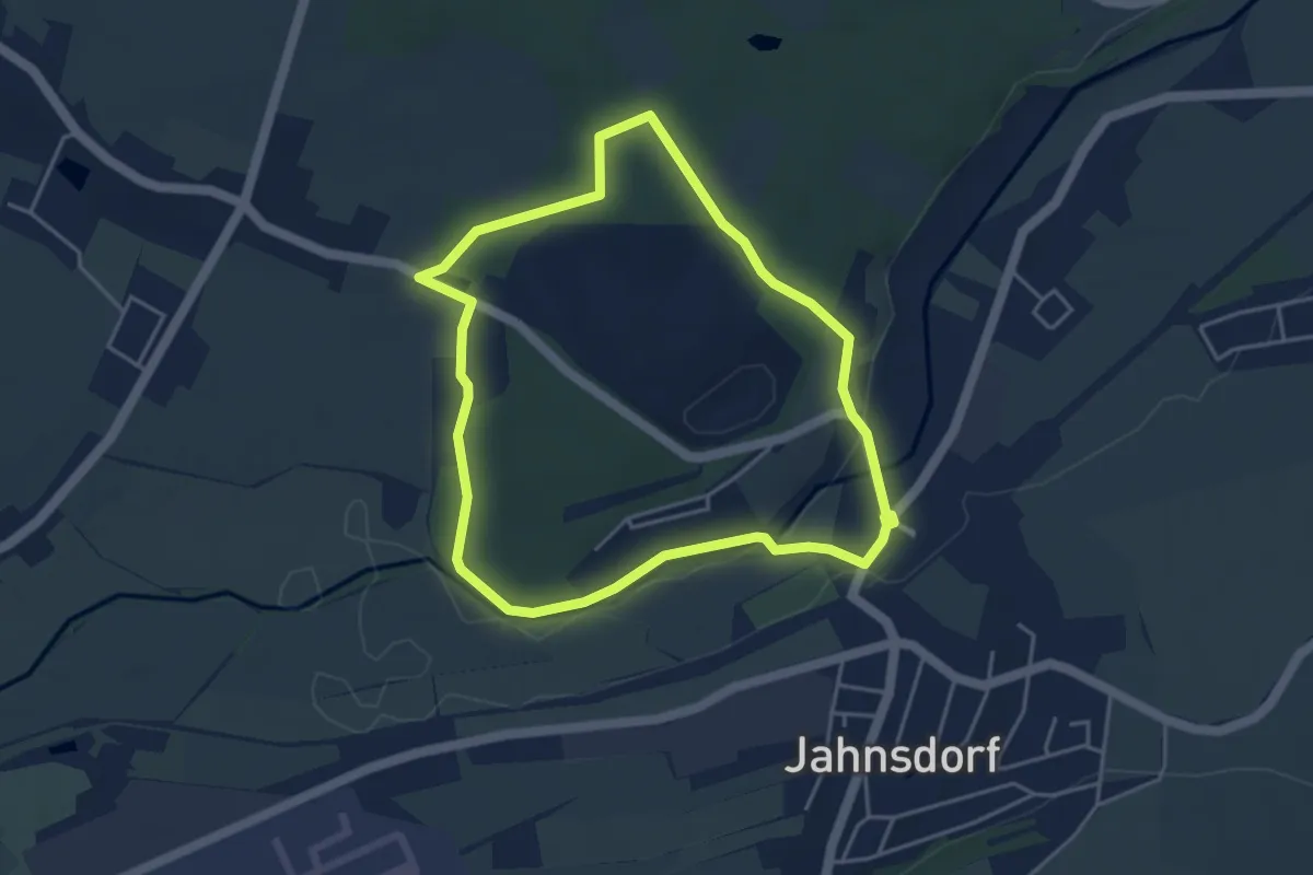
Easy · Trail
Rundweg Steinbruch
3.7 km · ↑ 36 m · 1 h 1 min
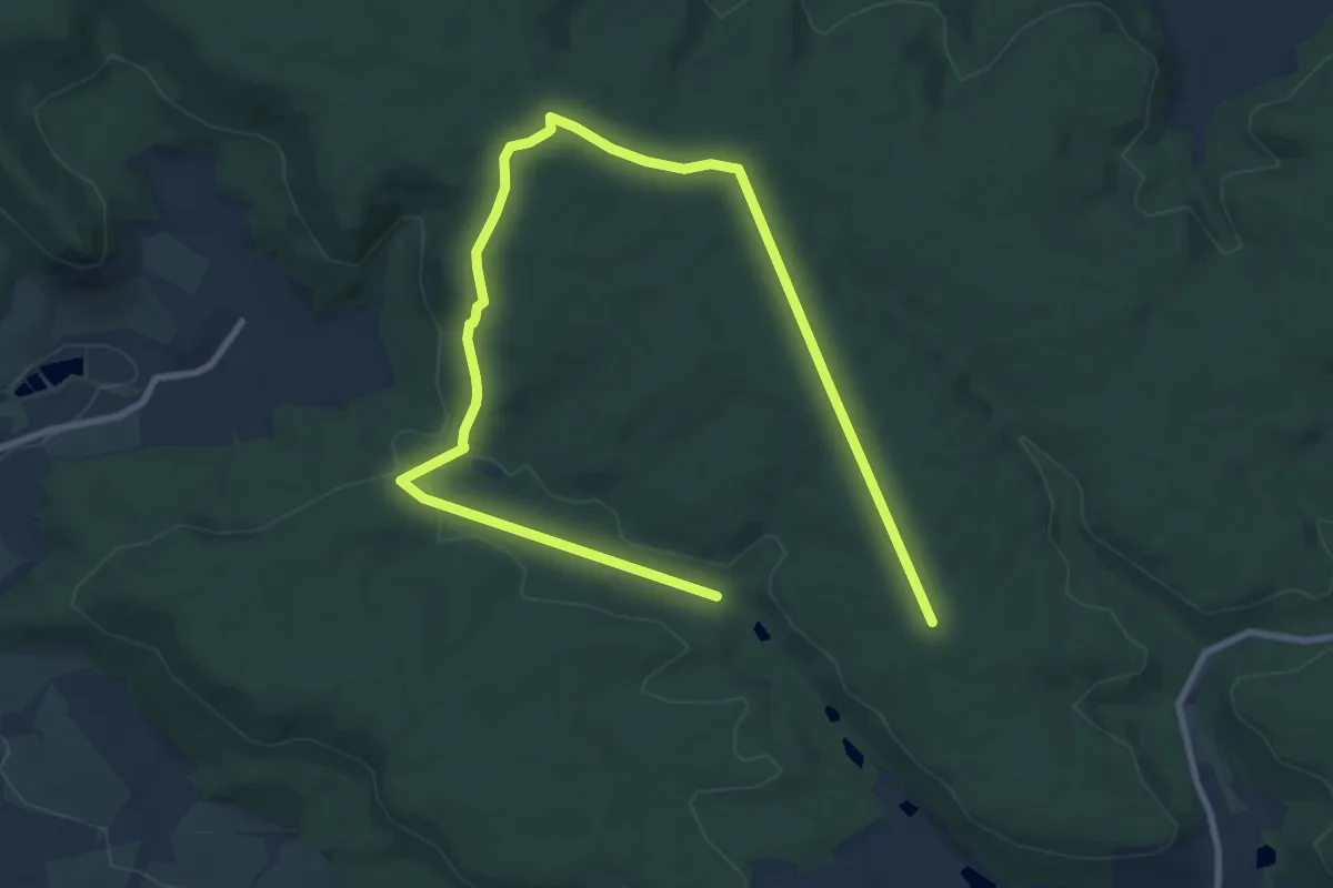
Easy · Trail
Rundweg "Steinernes Kreuz"
6.4 km · ↑ 107 m · 1 h 48 min
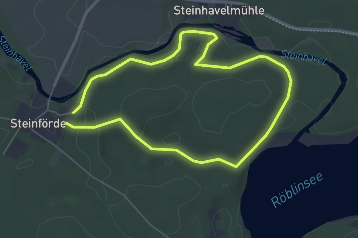
Easy · Trail
Rundweg Steinhavel
3.8 km · ↑ 39 m · 1 h 2 min
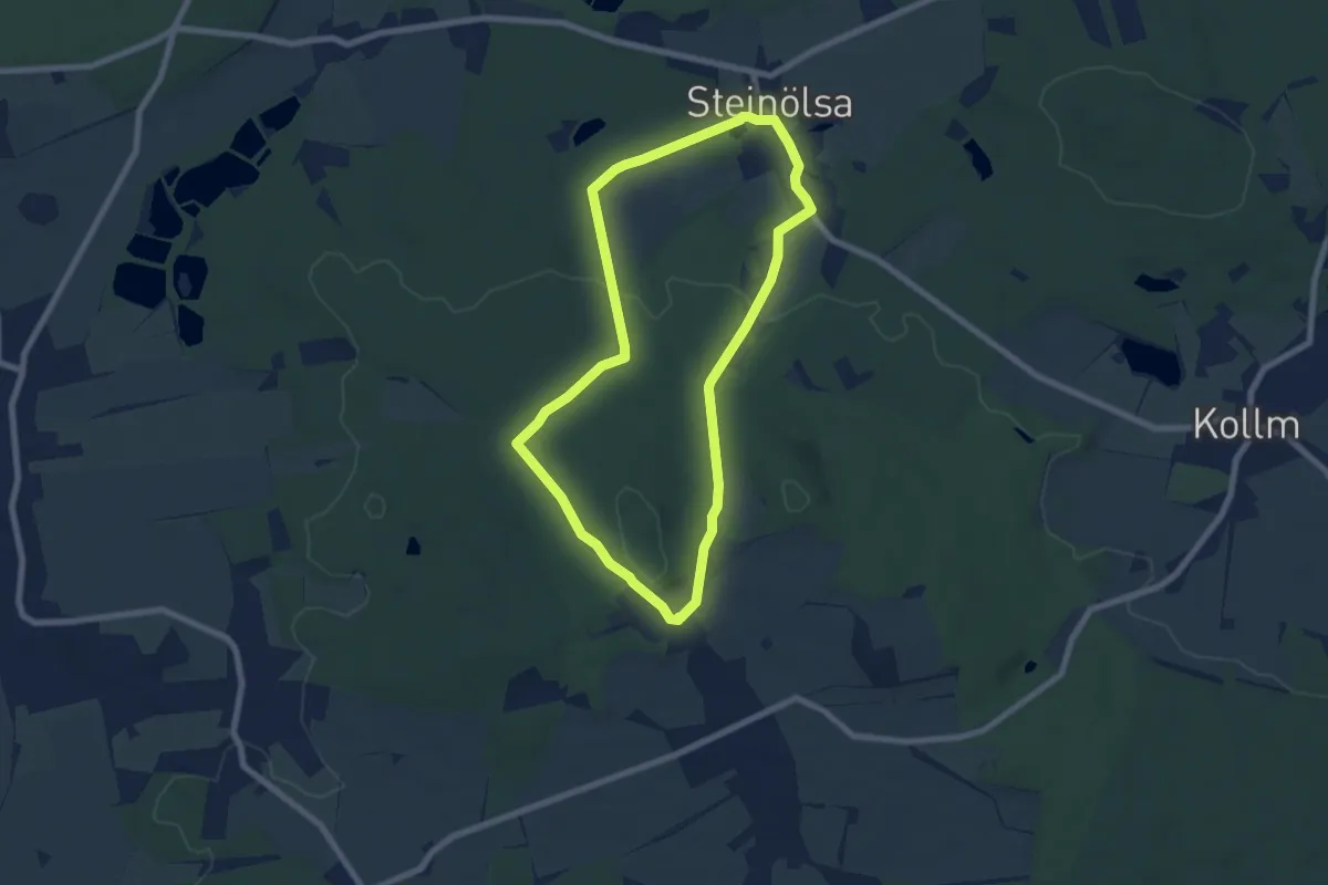
Easy · Summit
Rundweg Steinölsa Eichenhöhe
6.2 km · ↑ 134 m · 1 h 50 min
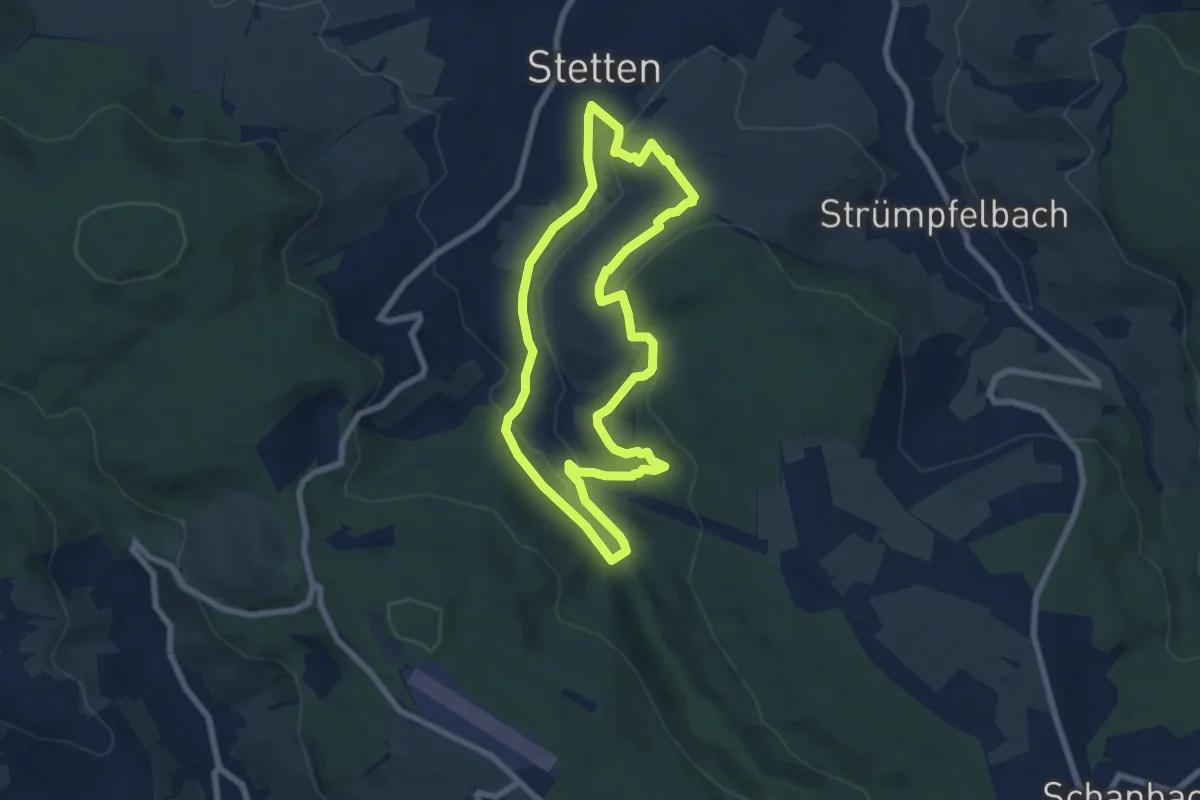
Easy · Trail
Rundweg Stetten
6.6 km · ↑ 206 m · 2 h 6 min
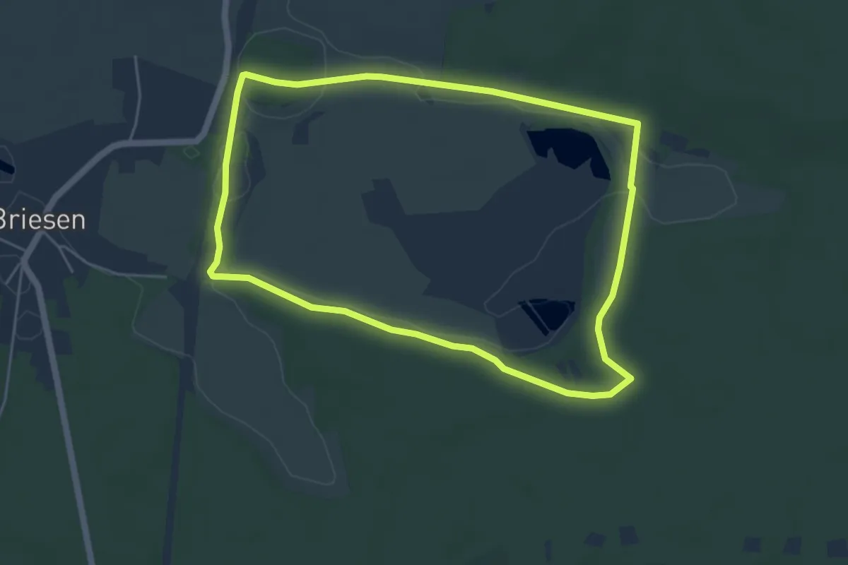
Easy · Trail
Rundweg Stietensee
4.4 km · ↑ 21 m · 1 h 8 min
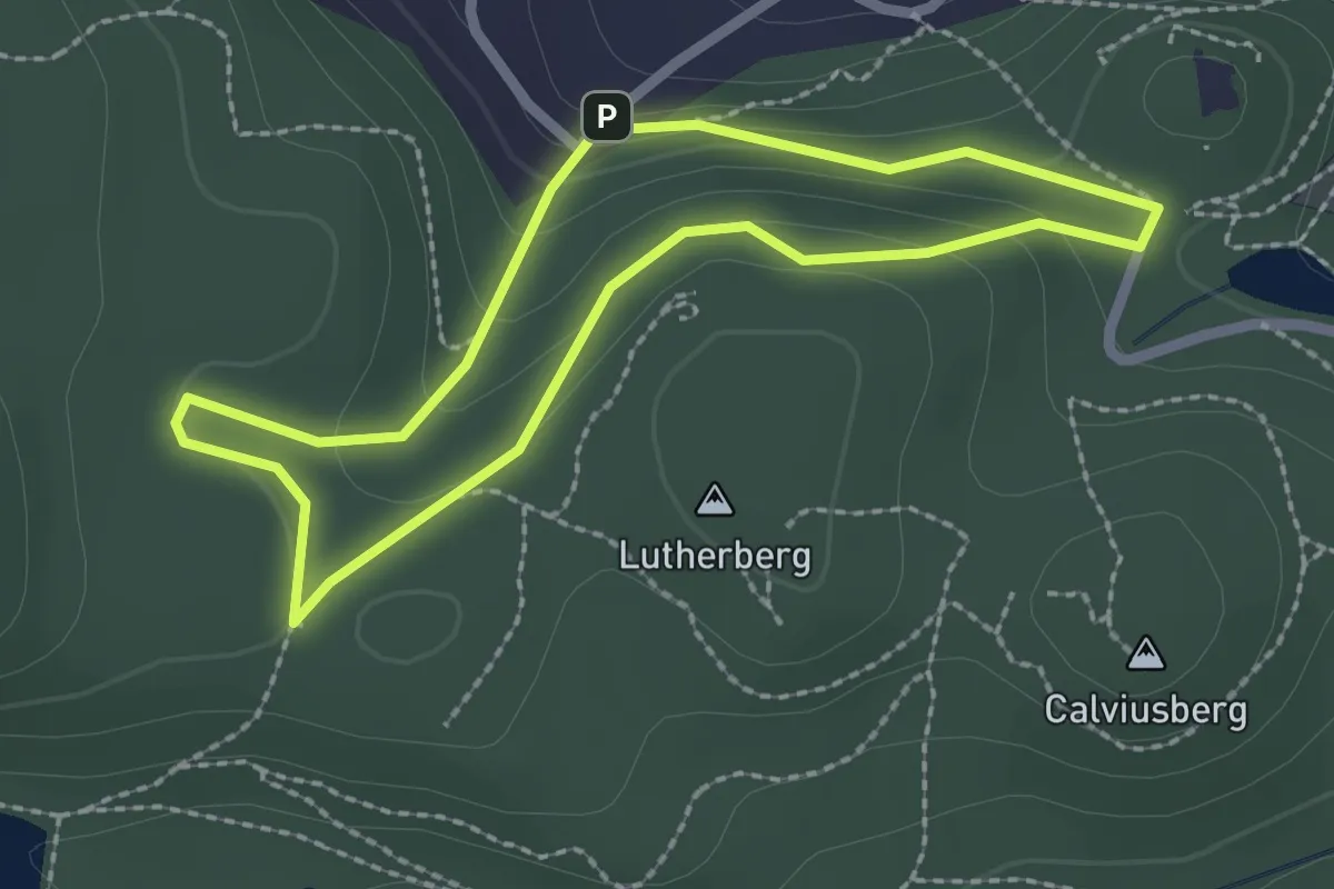
Easy · Summit
Rundweg Stiftungswald Blankenburg (Harz)
1.9 km · ↑ 68 m · 38 min
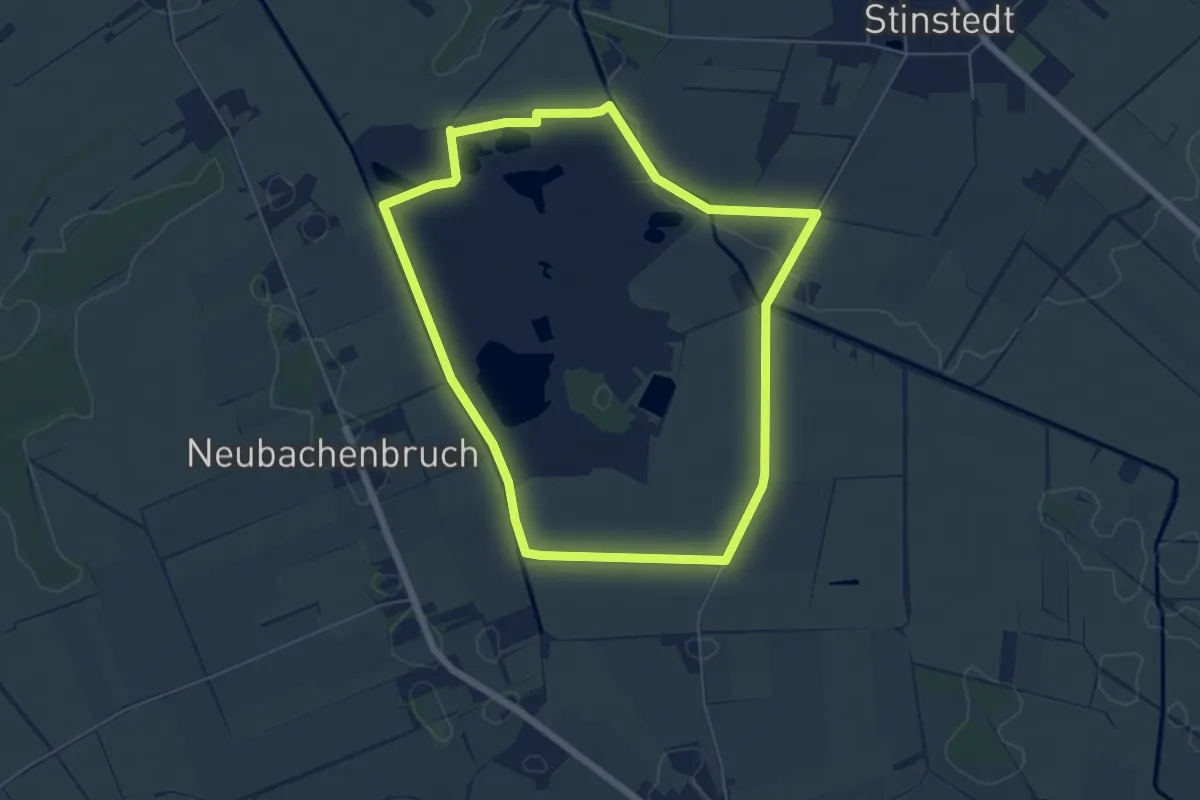
Easy · Trail
Rundweg Stinstedter See
5.1 km · ↑ 4 m · 1 h 17 min
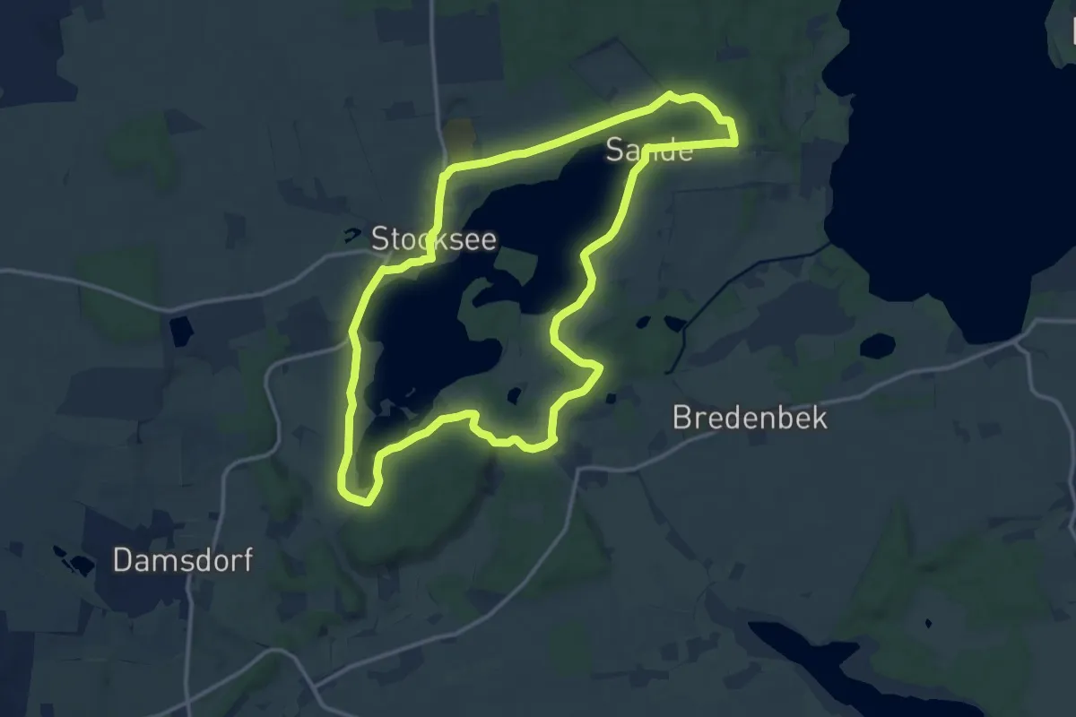
Medium · Trail
Rundweg Stocksee
11.6 km · ↑ 78 m · 3 h 4 min
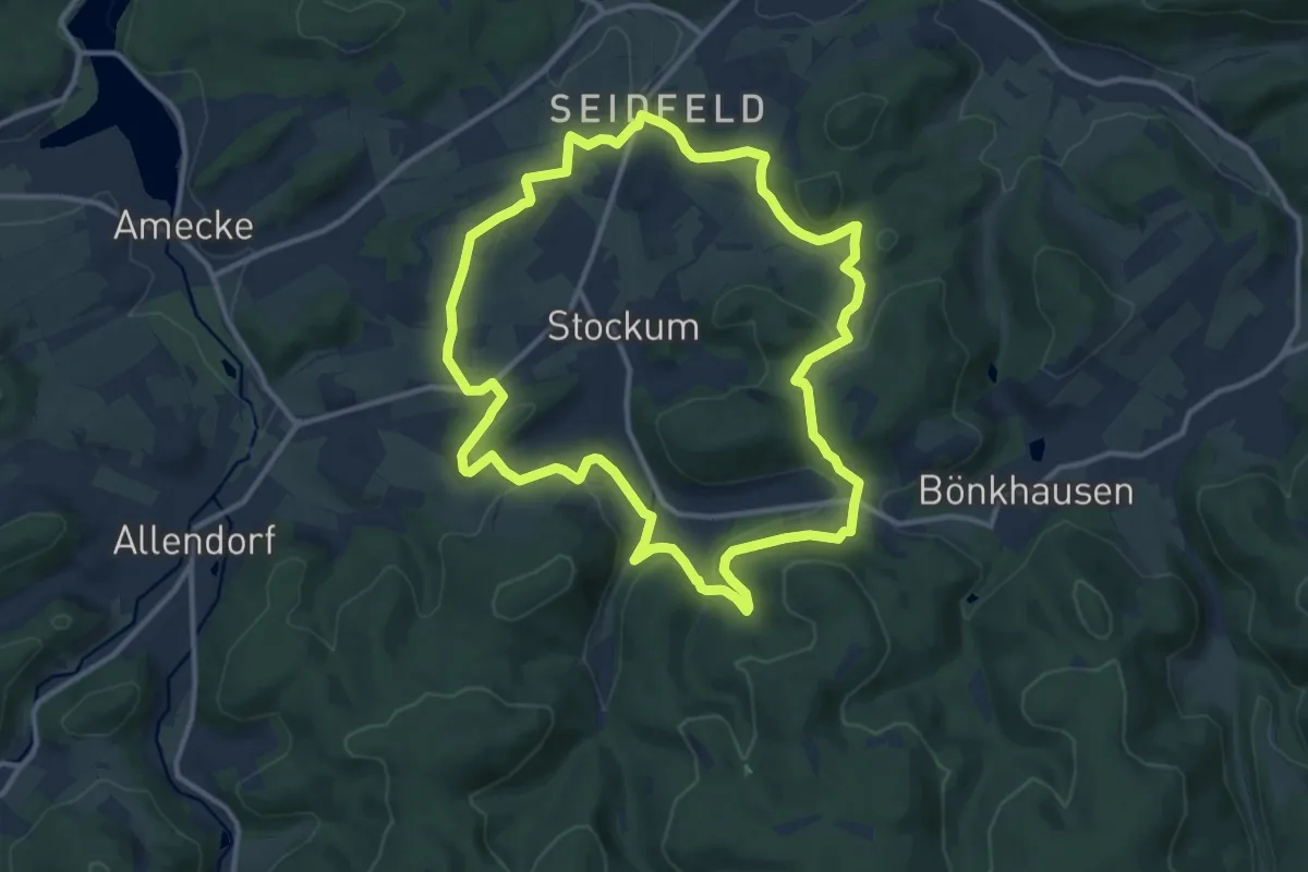
Medium · Summit
Rundweg Stockum
11.1 km · ↑ 302 m · 3 h 25 min
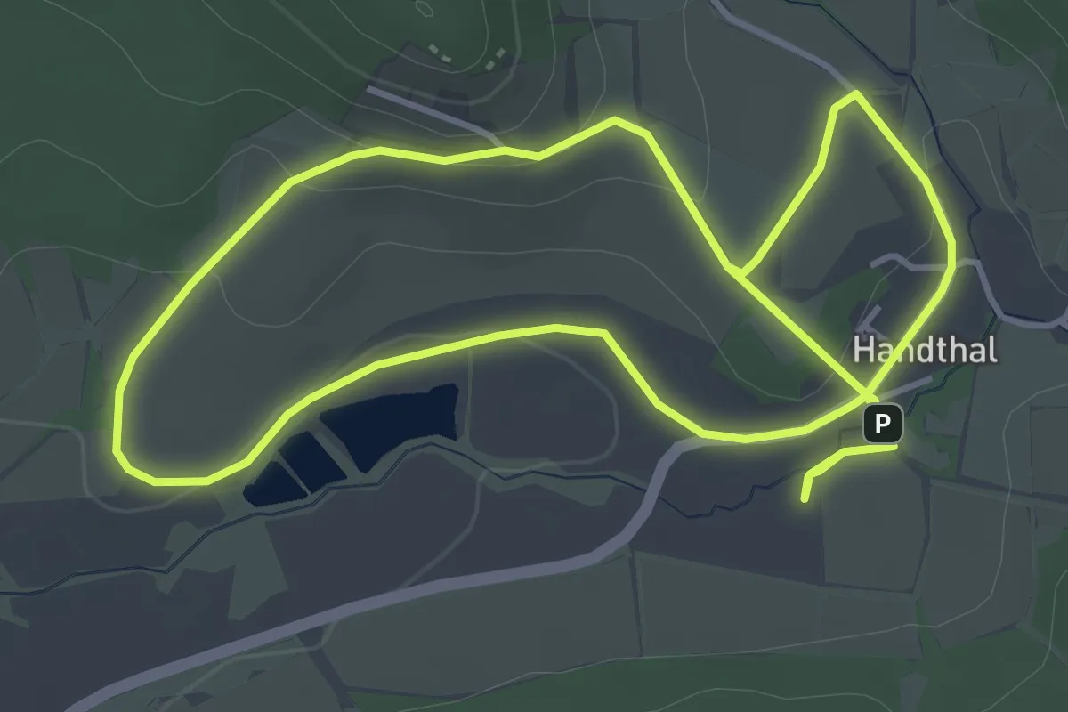
Easy · Trail
Rundweg Stollburg
4.0 km · ↑ 97 m · 1 h 13 min
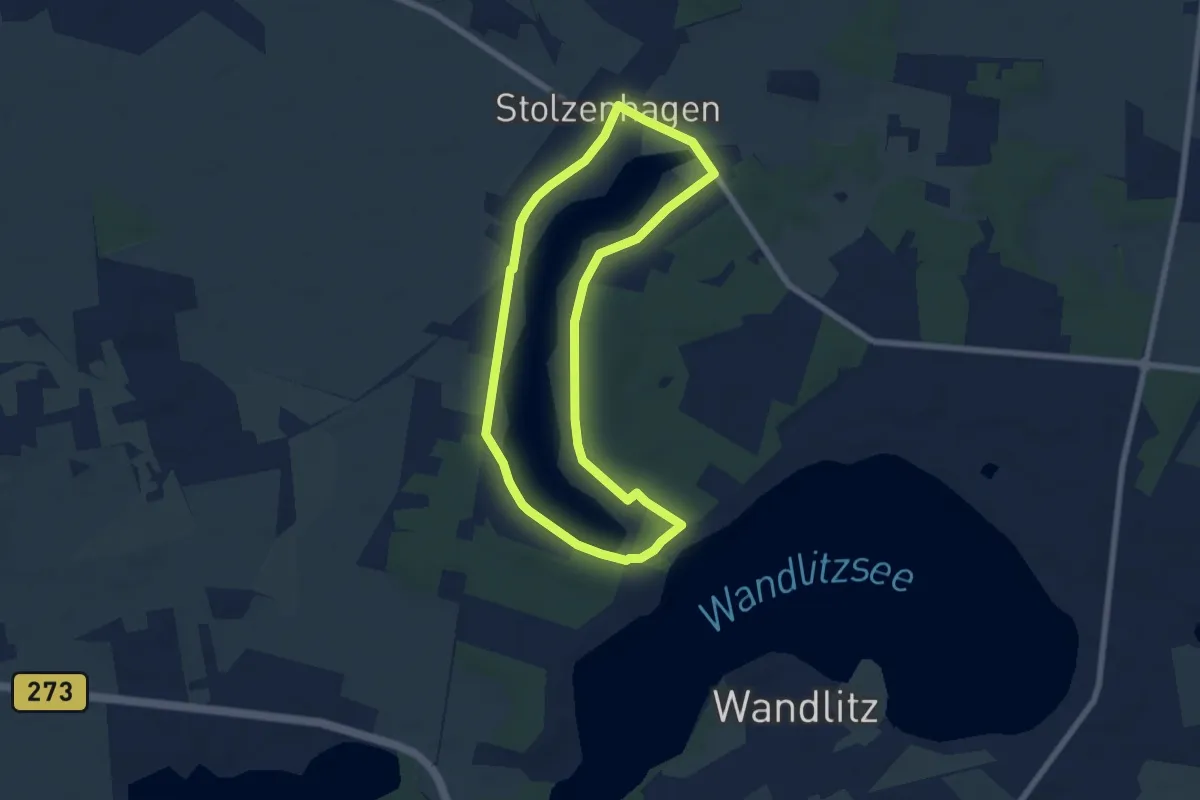
Easy · Trail
Rundweg Stolzenhagener See
5.7 km · ↑ 17 m · 1 h 27 min
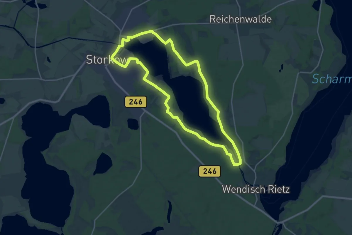
Medium · Trail
Rundweg Storkower See
15.3 km · ↑ 51 m · 3 h 57 min
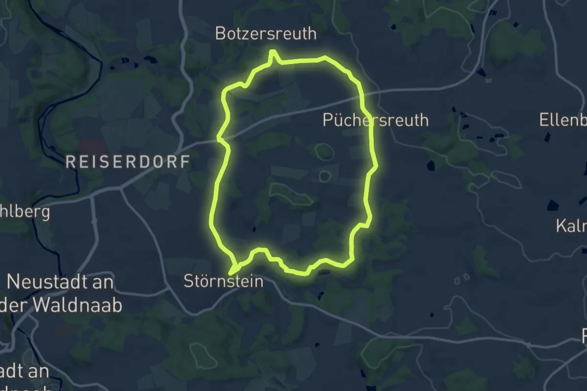
Medium · Summit
Rundweg Störnstein - Püchersreuth
10.3 km · ↑ 124 m · 2 h 50 min
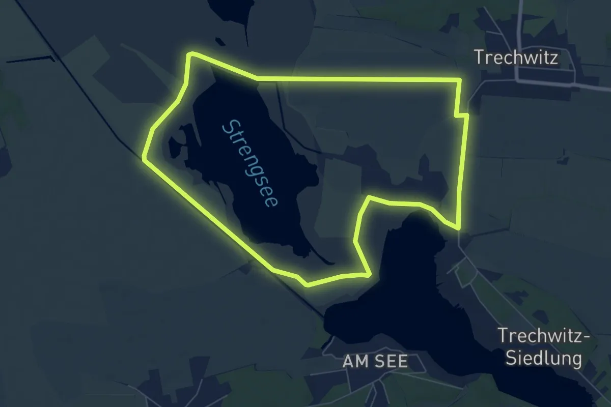
Easy · Trail
Rundweg Strengsee
6.8 km · ↑ 0 m · 1 h 42 min
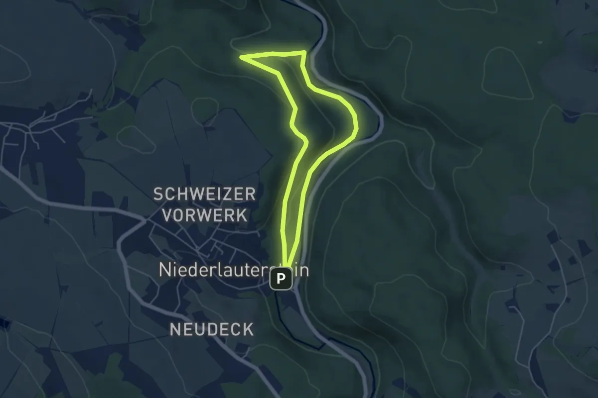
Easy · Trail
Rundweg Strobelmühle
3.9 km · ↑ 91 m · 1 h 10 min
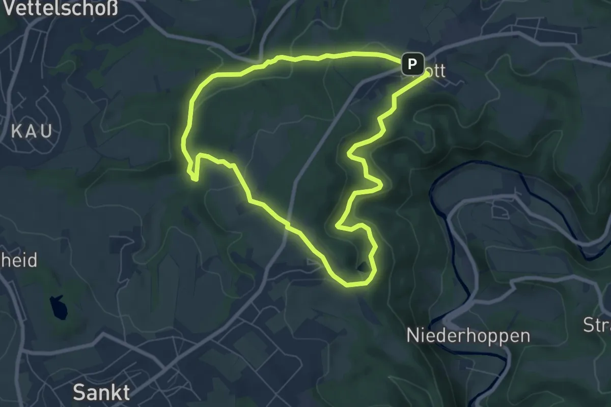
Easy · Summit
Rundweg Strödter Hügel
6.2 km · ↑ 175 m · 1 h 56 min
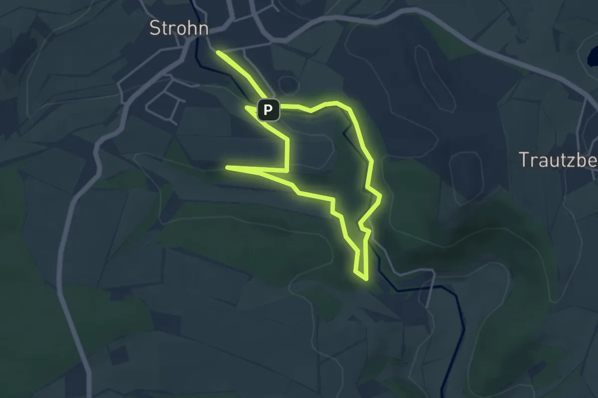
Easy · Trail
Rundweg Strohner Schweiz
3.3 km · ↑ 34 m · 55 min
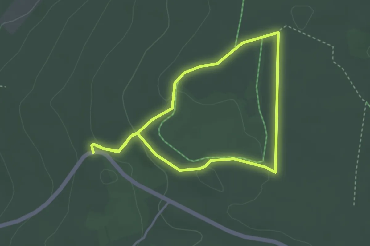
Easy · Trail
Rundweg Struthwise
2.6 km · ↑ 57 m · 46 min
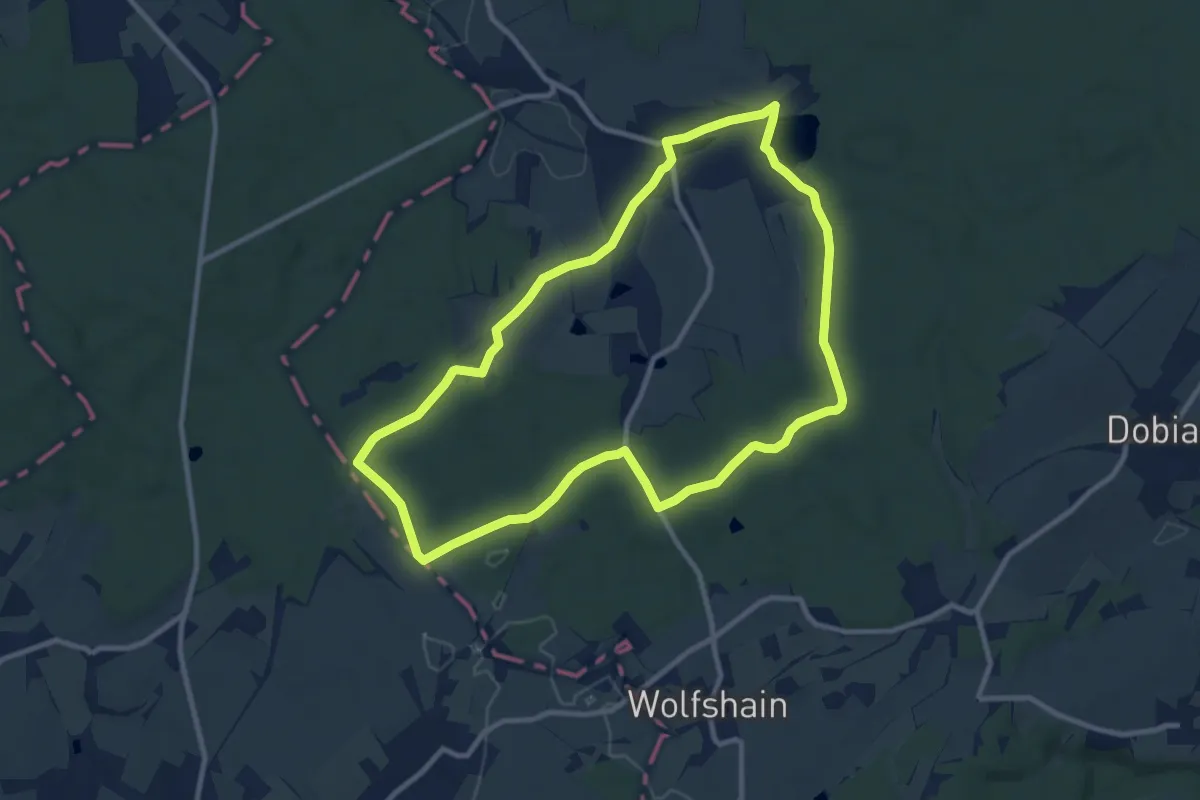
Medium · Trail
Rundweg "Süd"
9.2 km · ↑ 116 m · 2 h 33 min
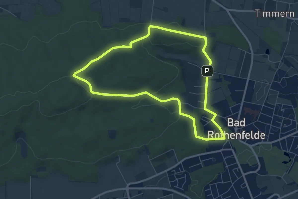
Easy · Trail
Rundweg Südberg
5.8 km · ↑ 108 m · 1 h 42 min
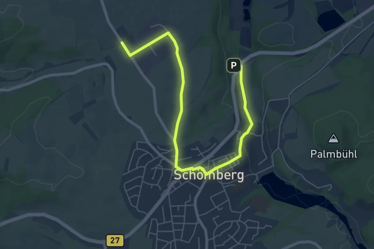
Easy · Trail
Rundweg Täbinger Hörnle
6.4 km · ↑ 67 m · 1 h 39 min
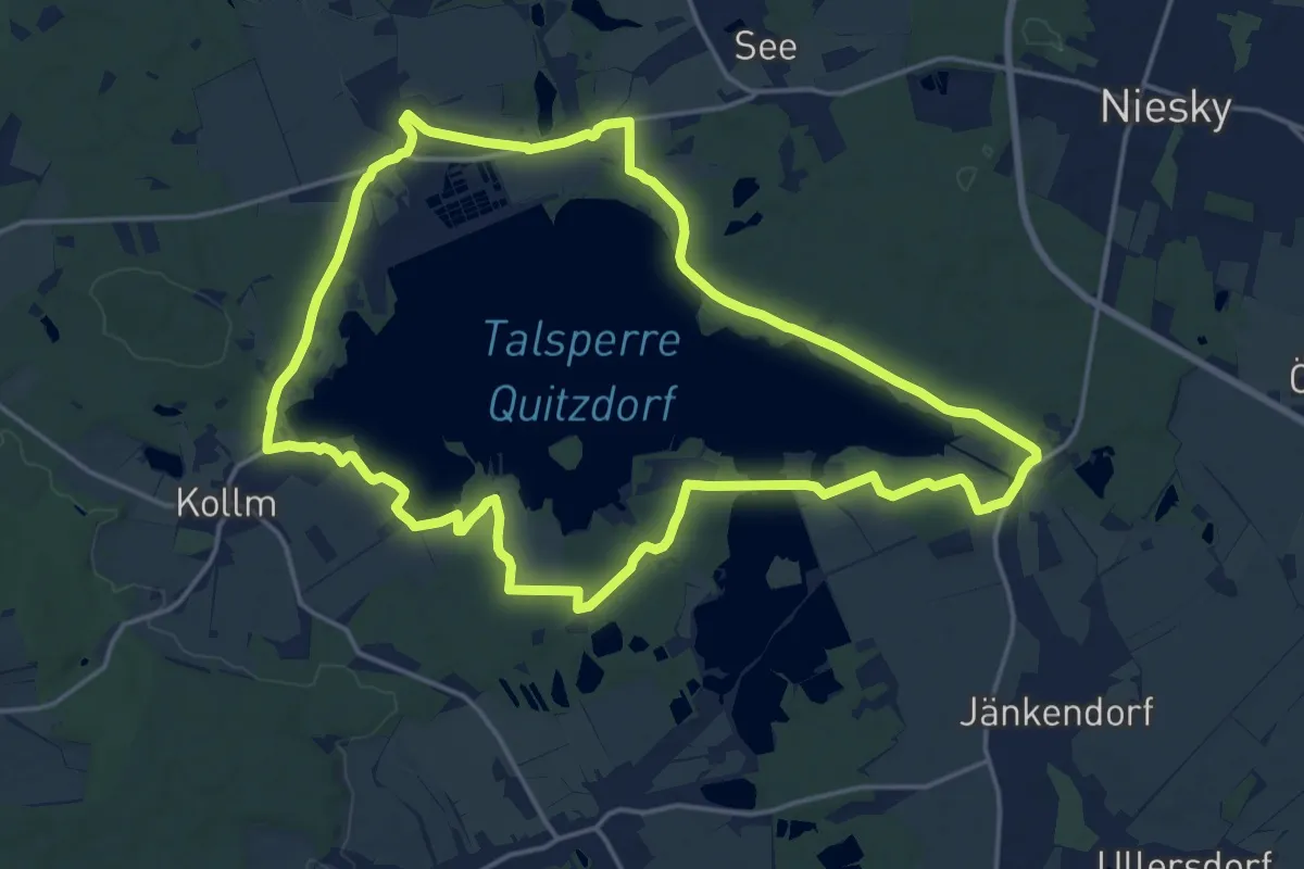
Medium · Summit
Rundweg Talsperre Quitzdorf (gelber Strich)
16.5 km · ↑ 101 m · 4 h 21 min
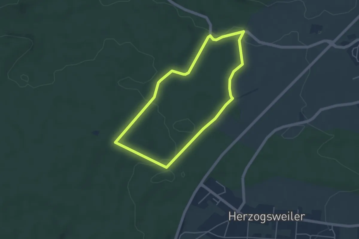
Easy · Trail
Rundweg Tanne (grün)
3.6 km · ↑ 73 m · 1 h 3 min
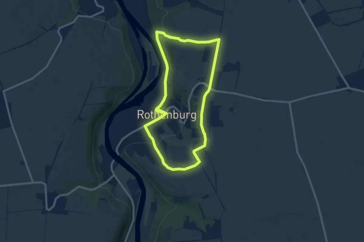
Easy · Trail
RundwegTannengrund Teufelsgrund Rothenburg
5.7 km · ↑ 88 m · 1 h 37 min
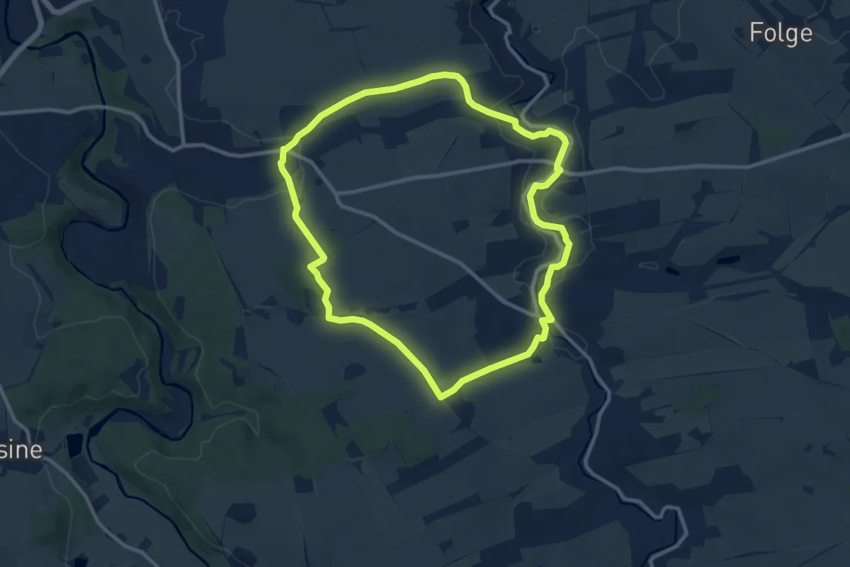
Medium · Summit
Rundweg Tannhübel
8.6 km · ↑ 103 m · 2 h 22 min
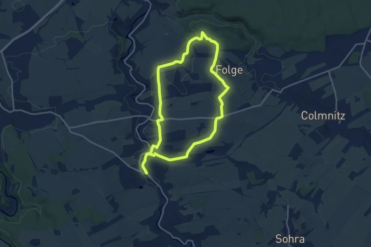
Medium · Trail
Rundweg Tännicht
9.4 km · ↑ 89 m · 2 h 33 min
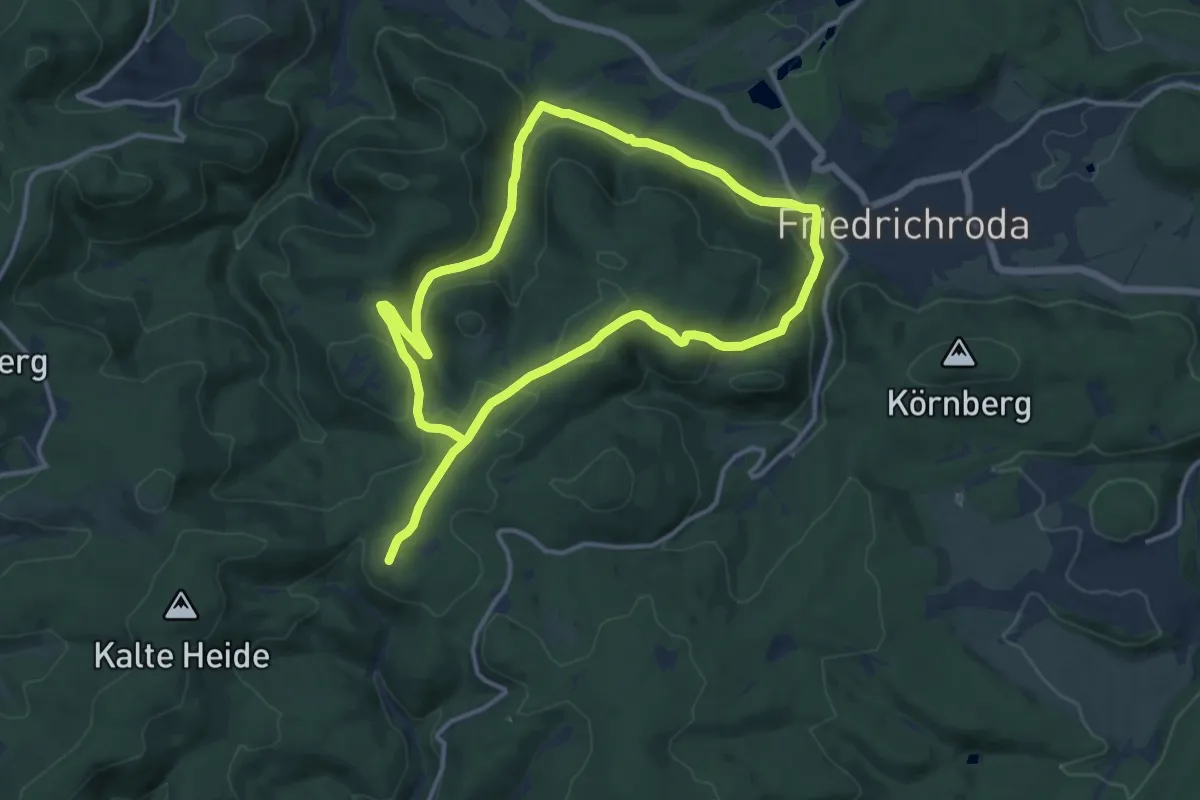
Demanding · Summit
Rundweg Tanzbuche
21.8 km · ↑ 589 m · 6 h 25 min
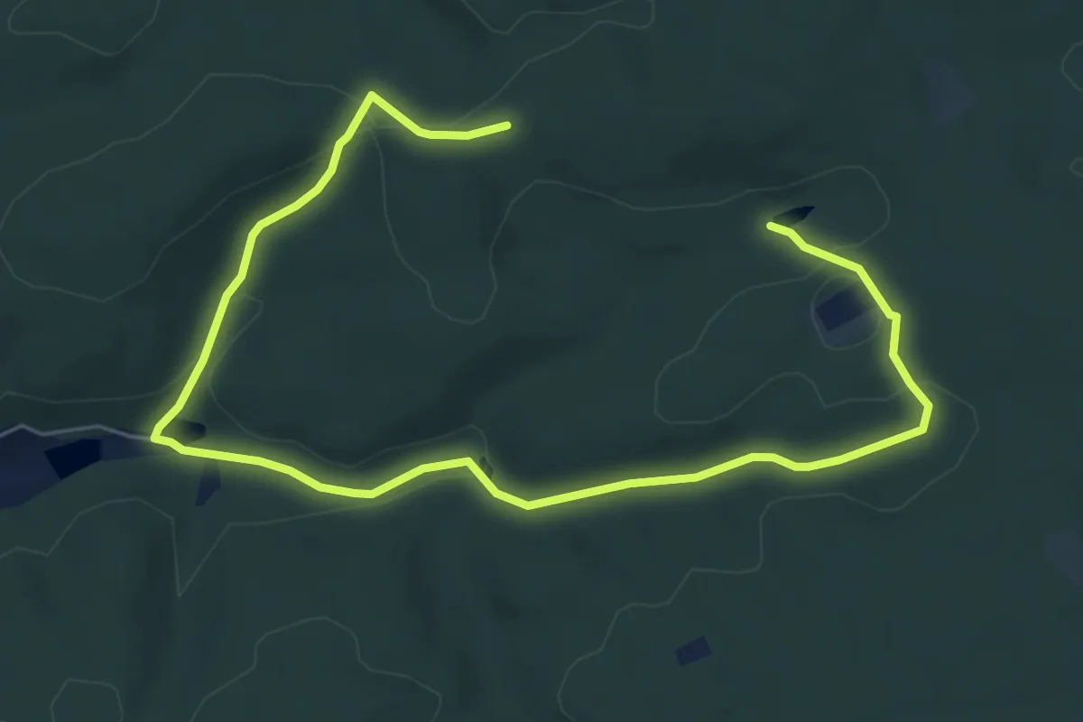
Easy · Trail
Rundweg Teiche
4.0 km · ↑ 96 m · 1 h 12 min
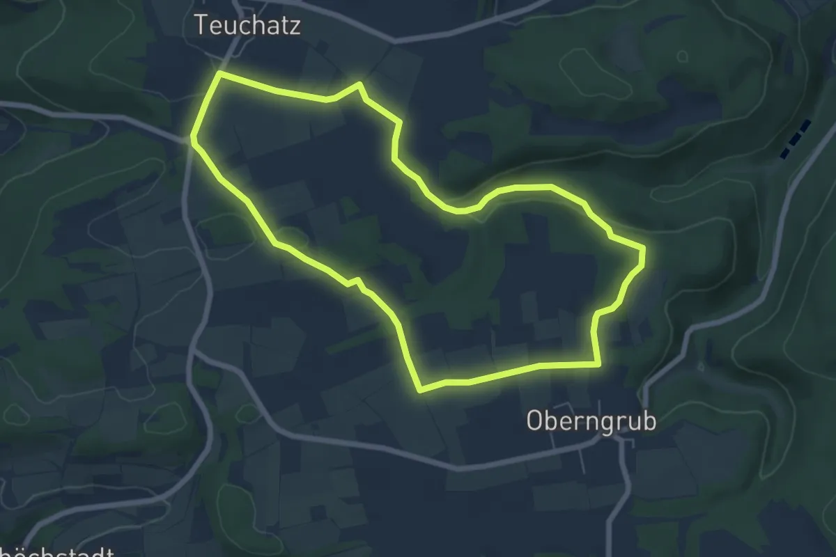
Easy · Trail
Rundweg Teufelsgraben
6.0 km · ↑ 85 m · 1 h 41 min
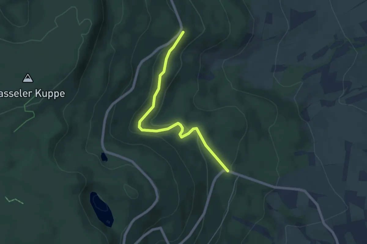
Easy · Trail
Rundweg Teufelslöcher mit Zugang zu den Kripp- und Hielöchern
4.4 km · ↑ 162 m · 1 h 23 min