Trails in Germany
36,852 hiking trails, each with its route, climb, walking time and grade.
All trails, page 576 of 768
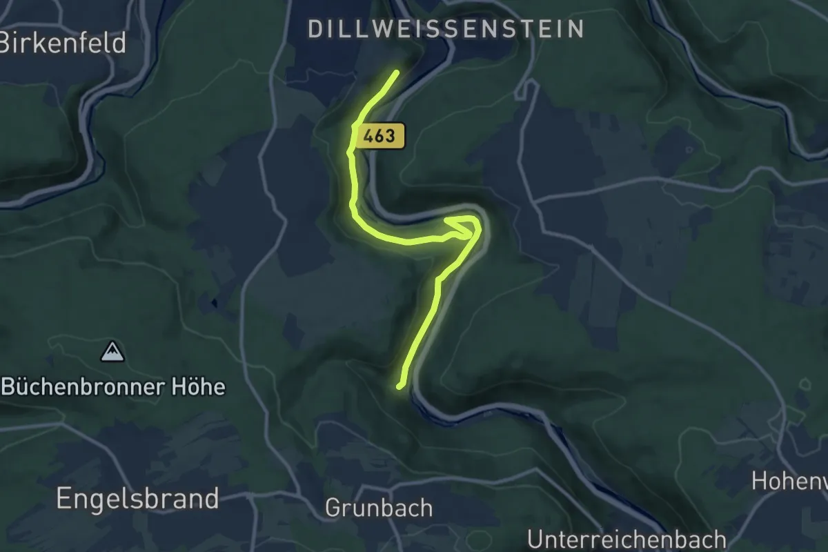
Medium · Trail
Schloßberg - Ehemaliger Bahnhof Grunbach
9.9 km · ↑ 298 m · 3 h
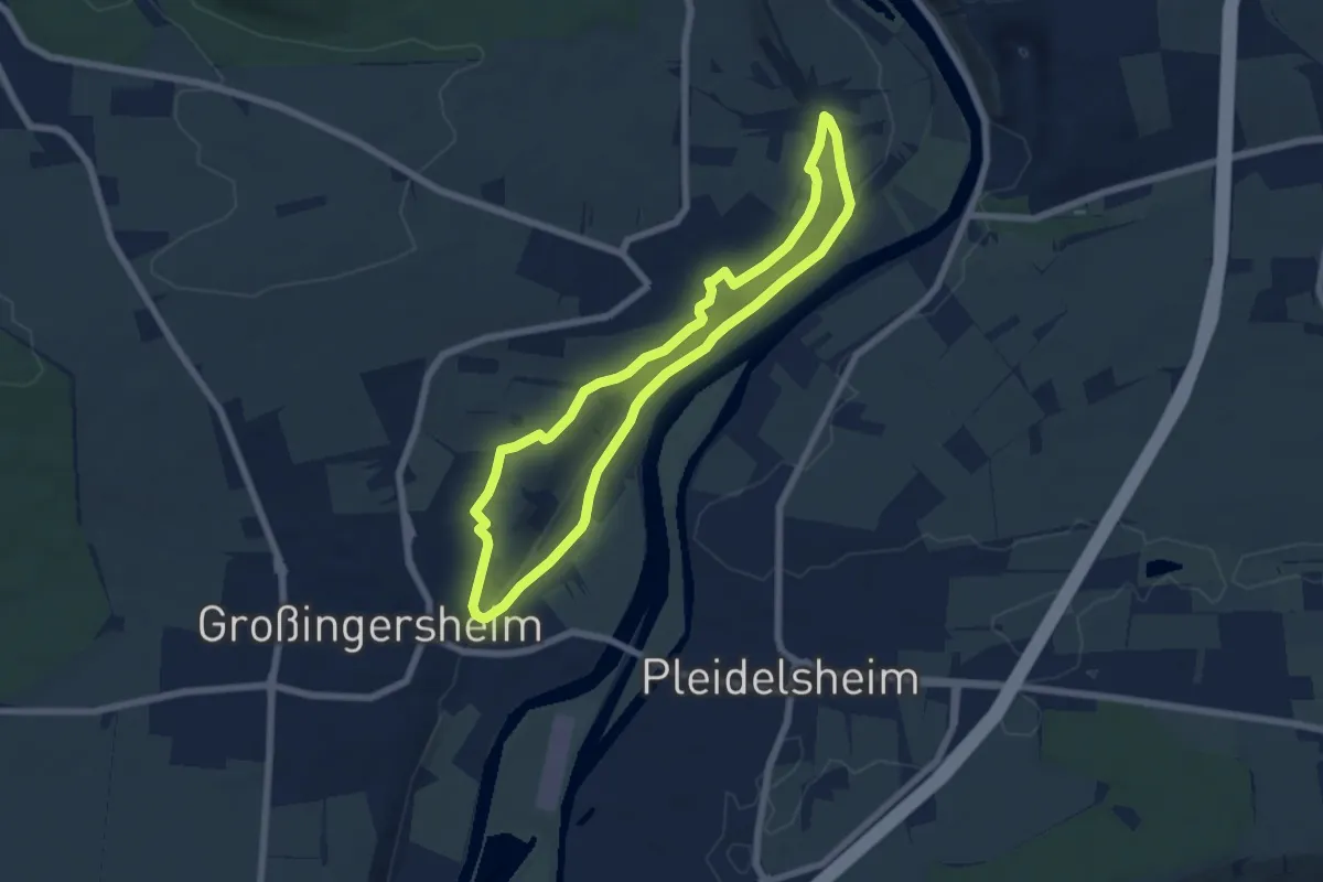
Easy · Trail
Schlossbergrunde
5.8 km · ↑ 73 m · 1 h 36 min
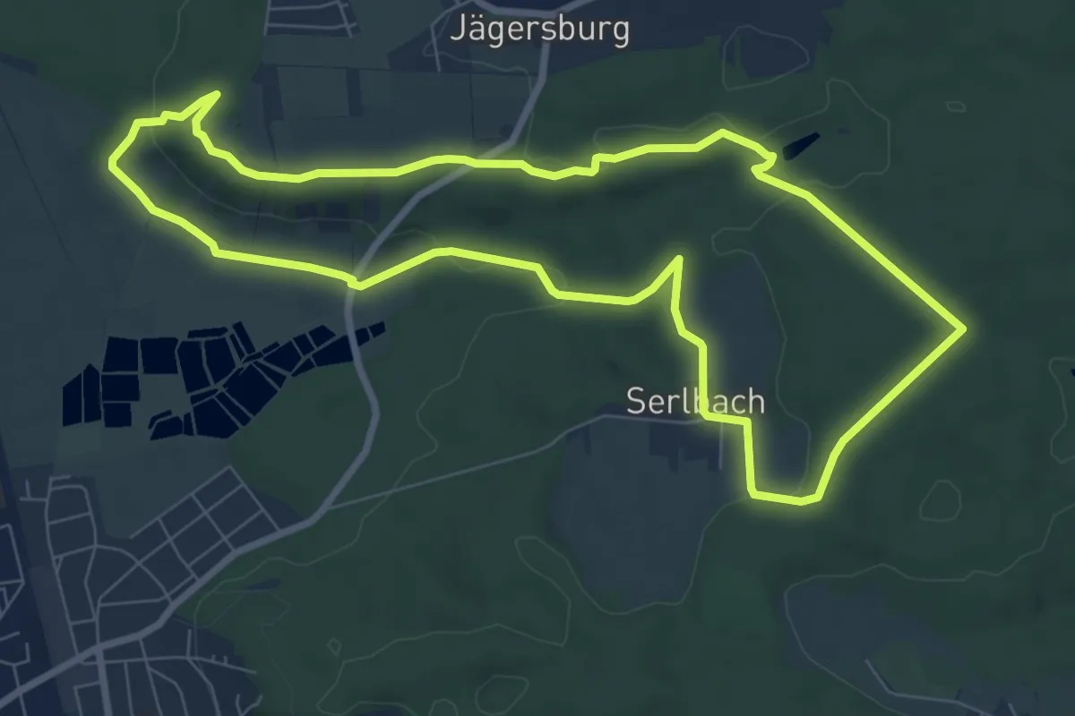
Easy · Trail
Schlossbergrunde
7.6 km · ↑ 117 m · 2 h 10 min
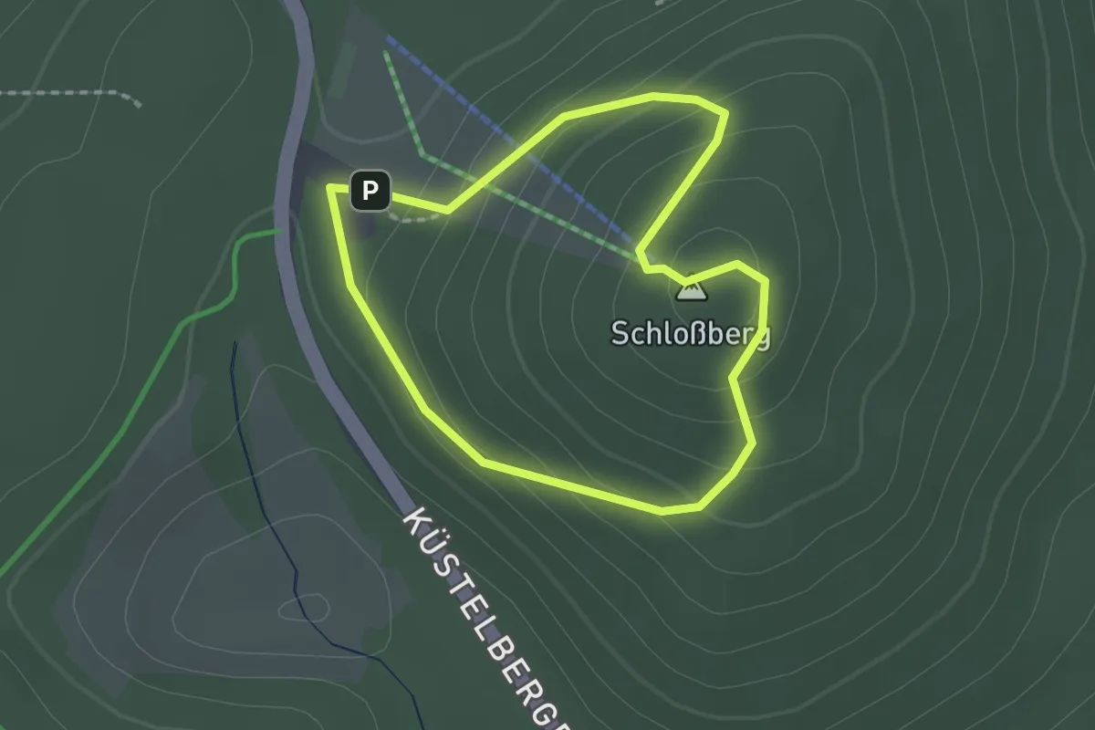
Easy · Summit
Schlossberg Rundweg A1
1.5 km · ↑ 80 m · 33 min
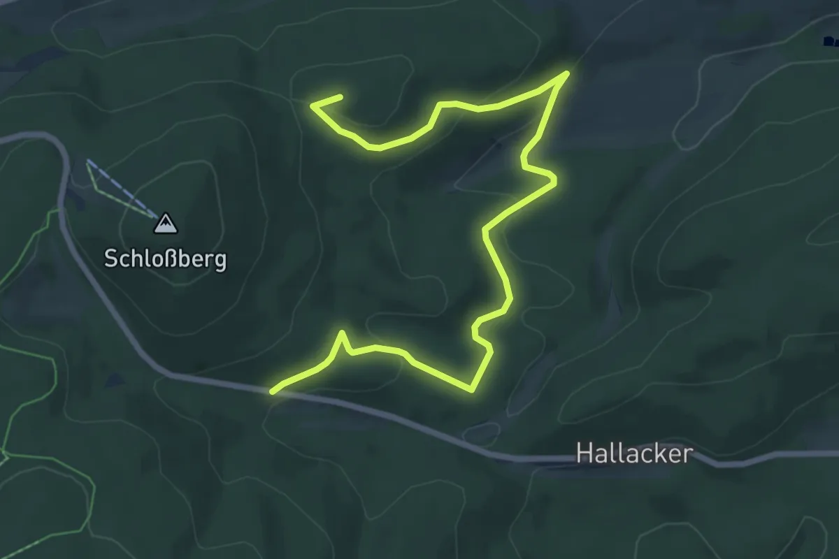
Easy · Summit
Schloßberg Rundweg A2
7.5 km · ↑ 216 m · 2 h 15 min
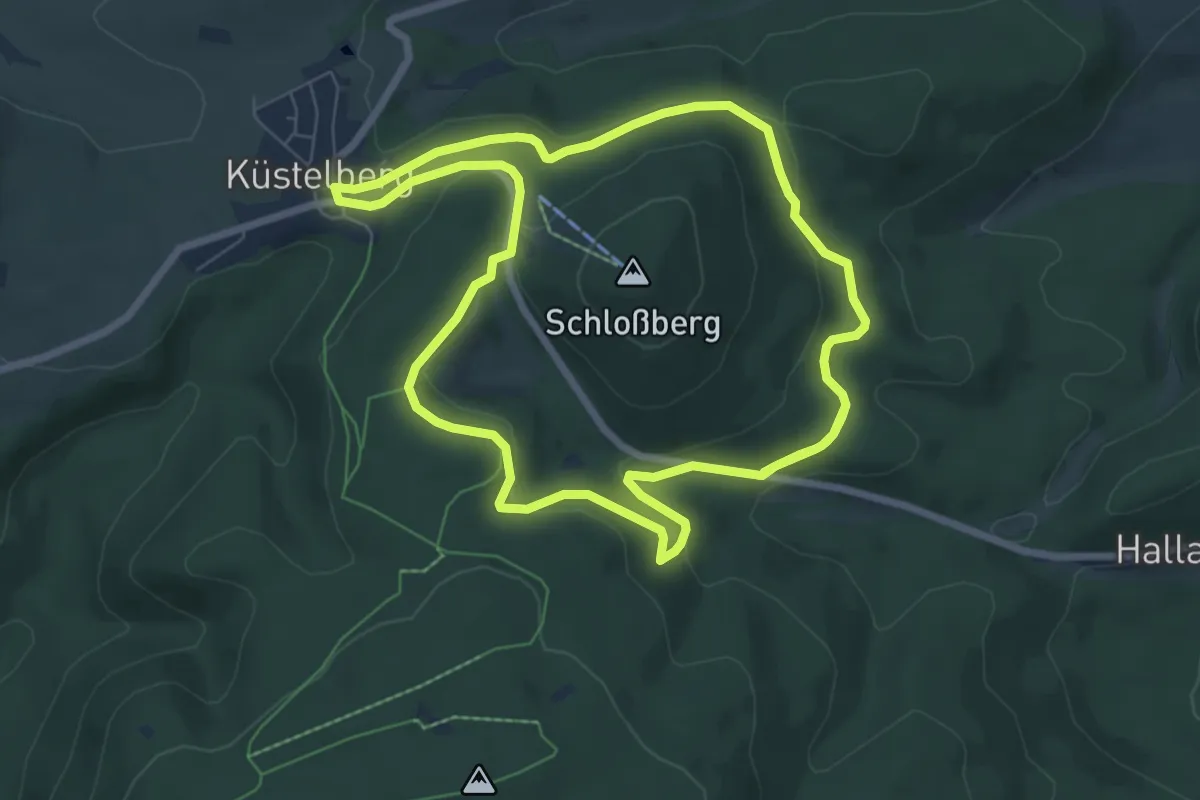
Medium · Trail
Schloßberg Rundweg A3
13.6 km · ↑ 327 m · 3 h 55 min
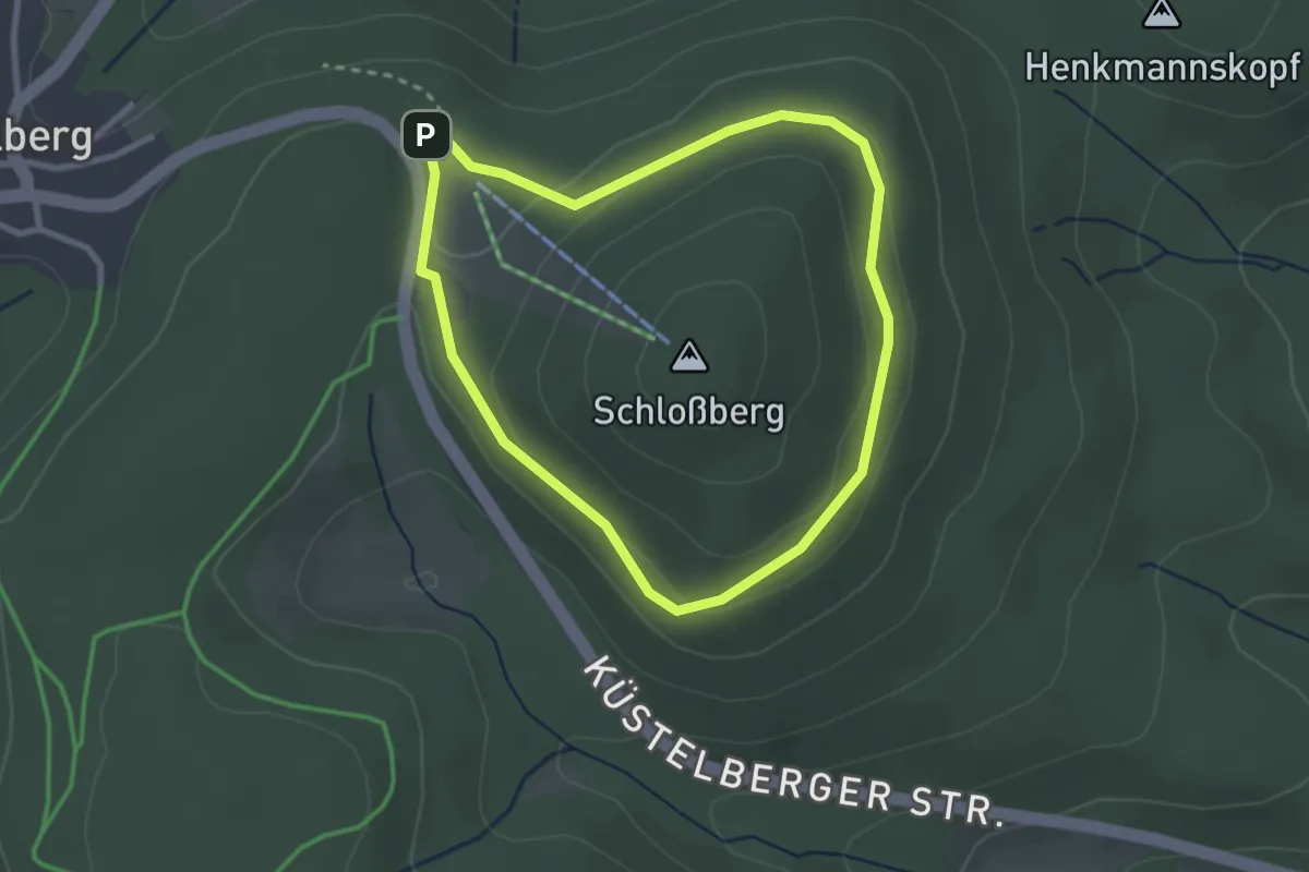
Easy · Trail
Schlossberg Rundweg A4
2.3 km · ↑ 53 m · 41 min
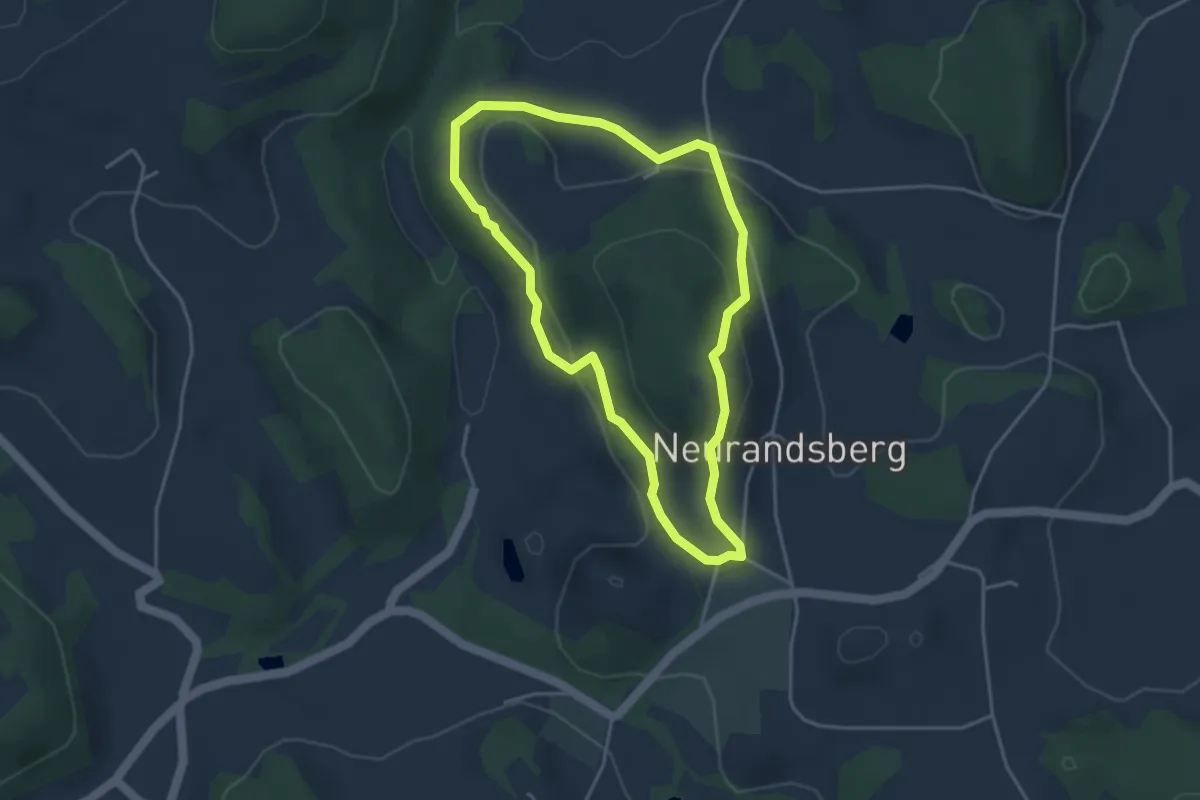
Easy · Trail
Schlossberg-Rundweg (Rattenberger Wanderweg 5)
3.4 km · ↑ 127 m · 1 h 8 min
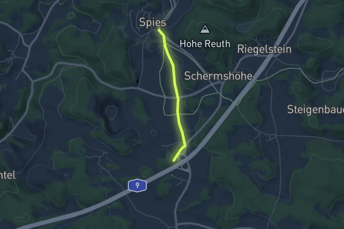
Easy · Trail
Schloßberg - Spies
3.5 km · ↑ 32 m · 54 min
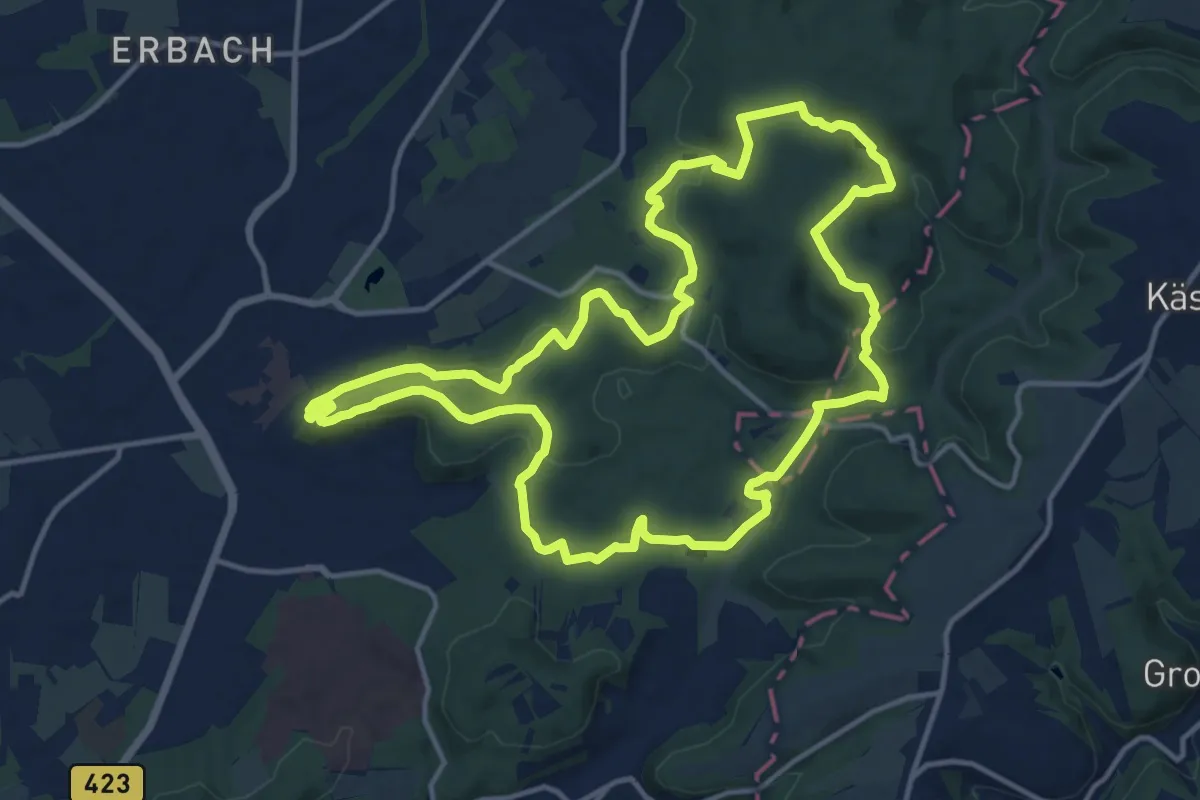
Medium · Summit
Schlossberg-Tour
13.8 km · ↑ 369 m · 4 h 16 min
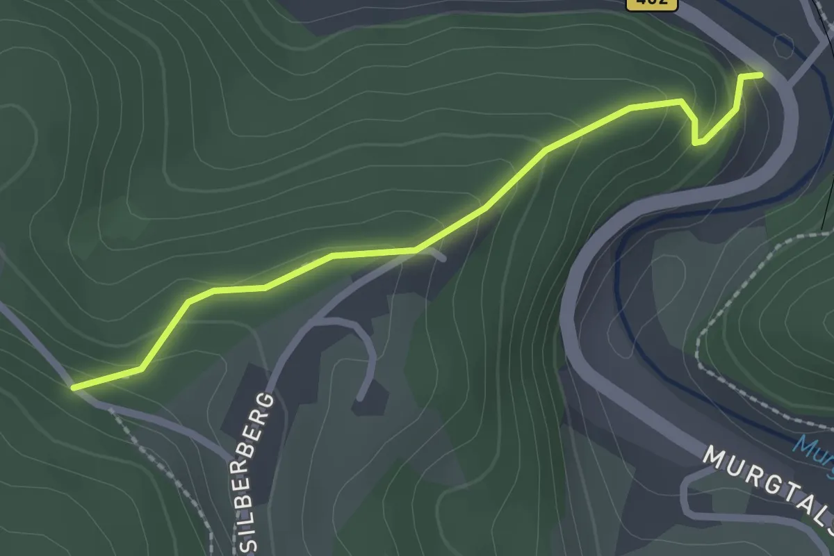
Easy · Trail
Schlossbergwegle - Schwarzenberg Silberbergwegle
2.0 km · ↑ 155 m · 49 min
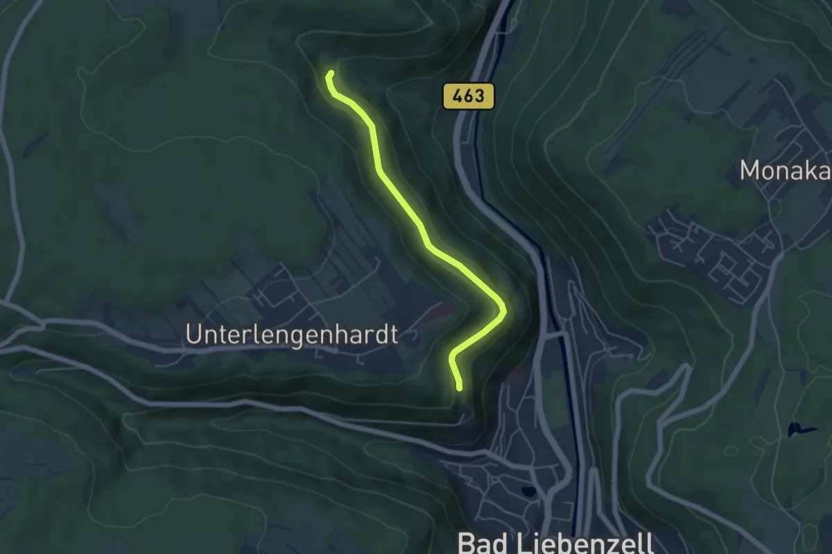
Easy · Trail
Schloßbergweg - Rattenkönig
4.2 km · ↑ 138 m · 1 h 18 min
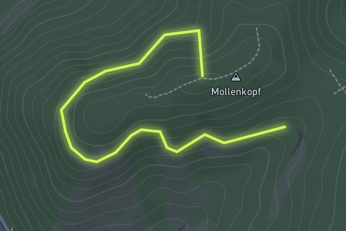
Easy · Summit
Schlossberg - Wiederkehr
2.8 km · ↑ 140 m · 58 min
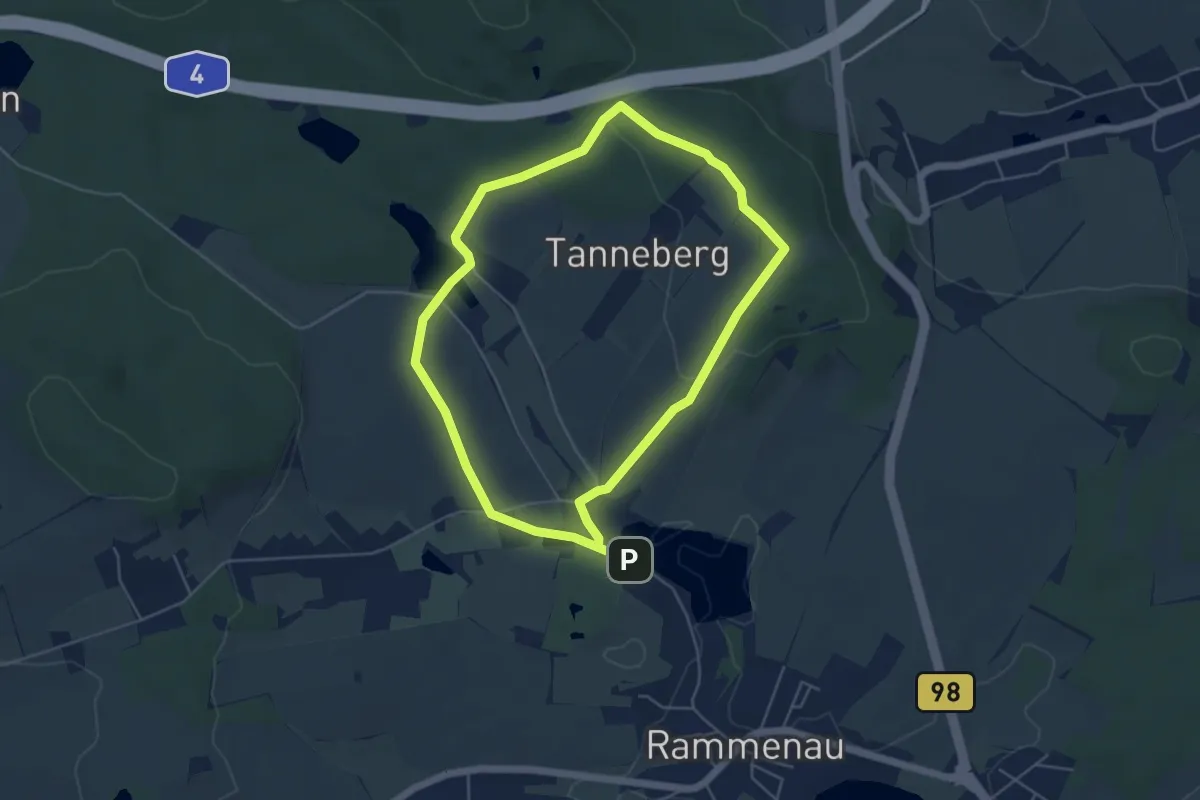
Easy · Summit
Schlossblickwanderung Rammenau
4.4 km · ↑ 78 m · 1 h 16 min
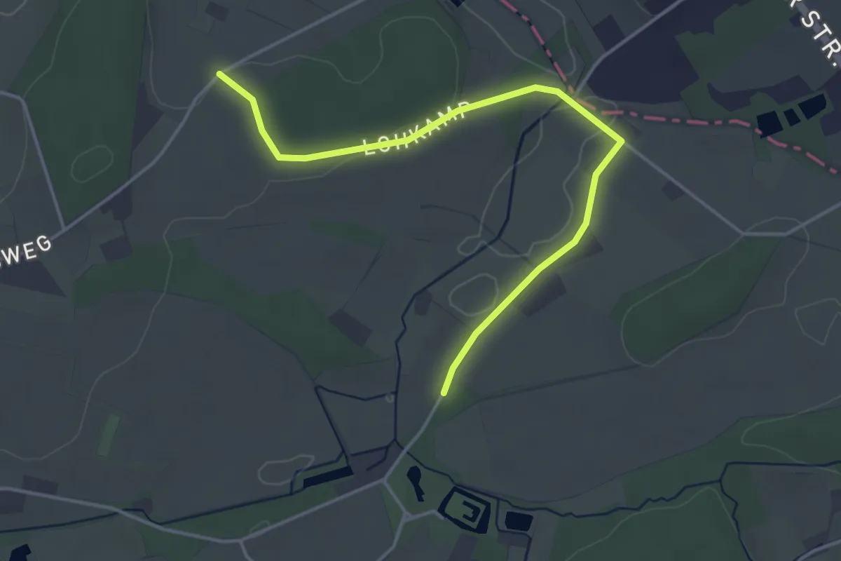
Easy · Trail
Schloss Brincke Weg
2.0 km · ↑ 28 m · 33 min
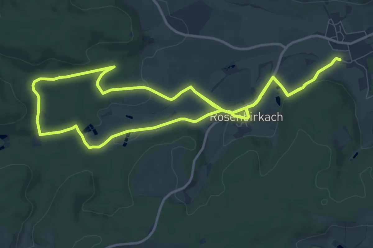
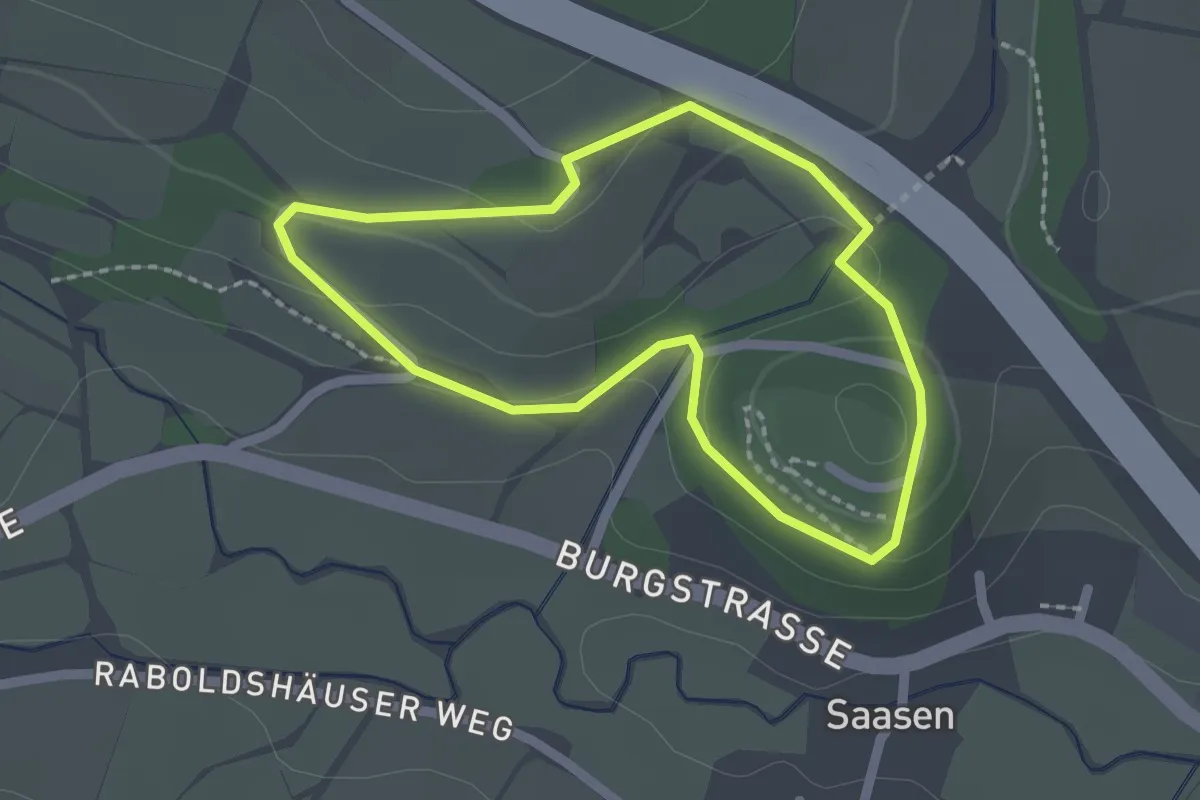
Demanding · Trail
Schloßbrünnleinweg
18.5 km · ↑ 217 m · 4 h 51 min
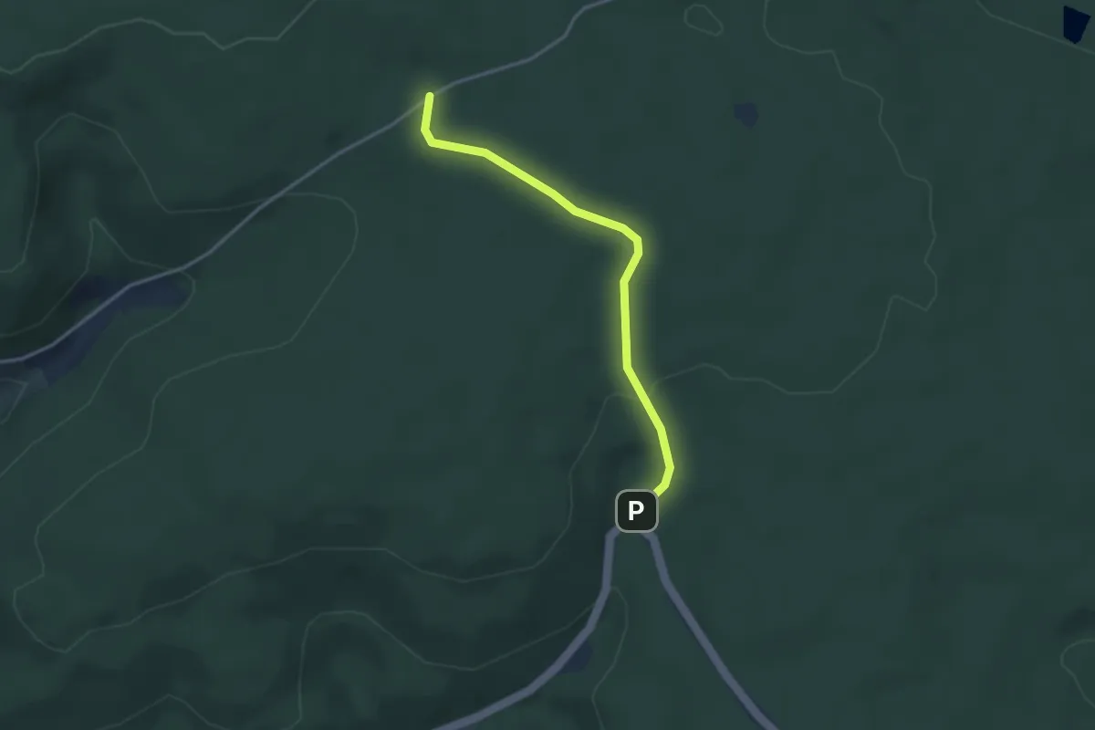
Easy · Trail
Schloss-Domäne-Rundweg
1.6 km · ↑ 36 m · 29 min
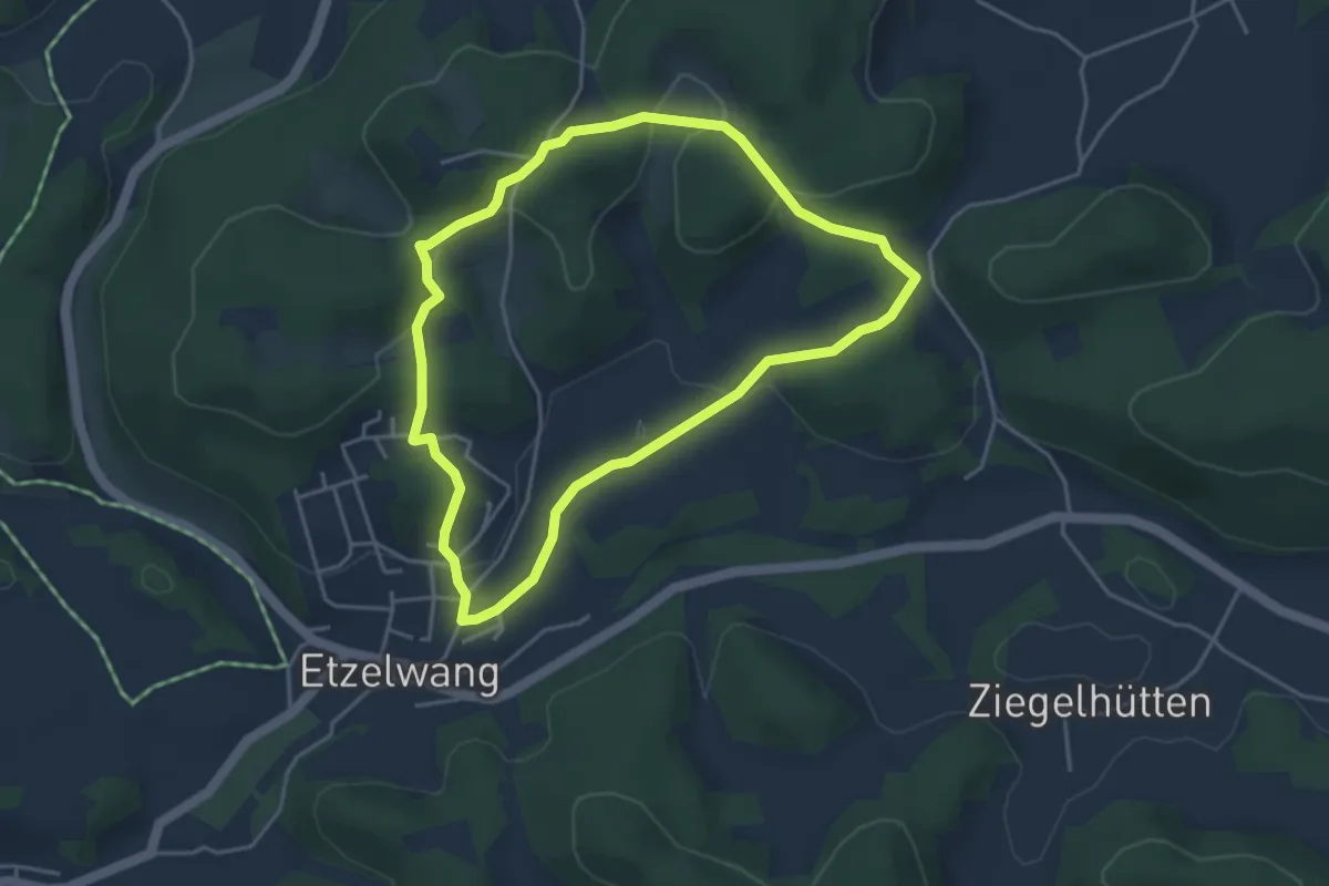
Easy · Trail
Schlossermatte - Auf der Steig
3.0 km · ↑ 53 m · 49 min
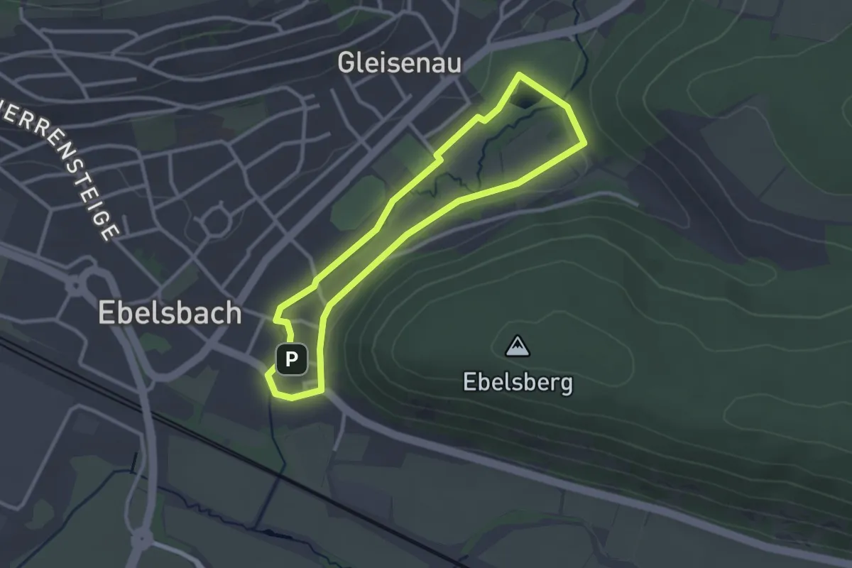
Easy · Summit
Schlösser Runde
3.7 km · ↑ 111 m · 1 h 10 min
Easy · Trail
Schlösser-Runde
2.4 km · ↑ 15 m · 38 min
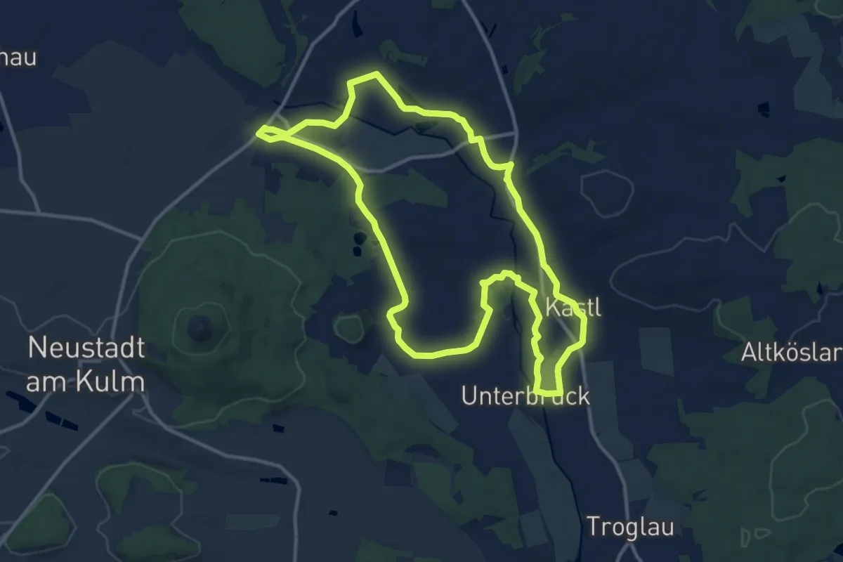
Medium · Trail
Schlössertour
11.5 km · ↑ 60 m · 3 h
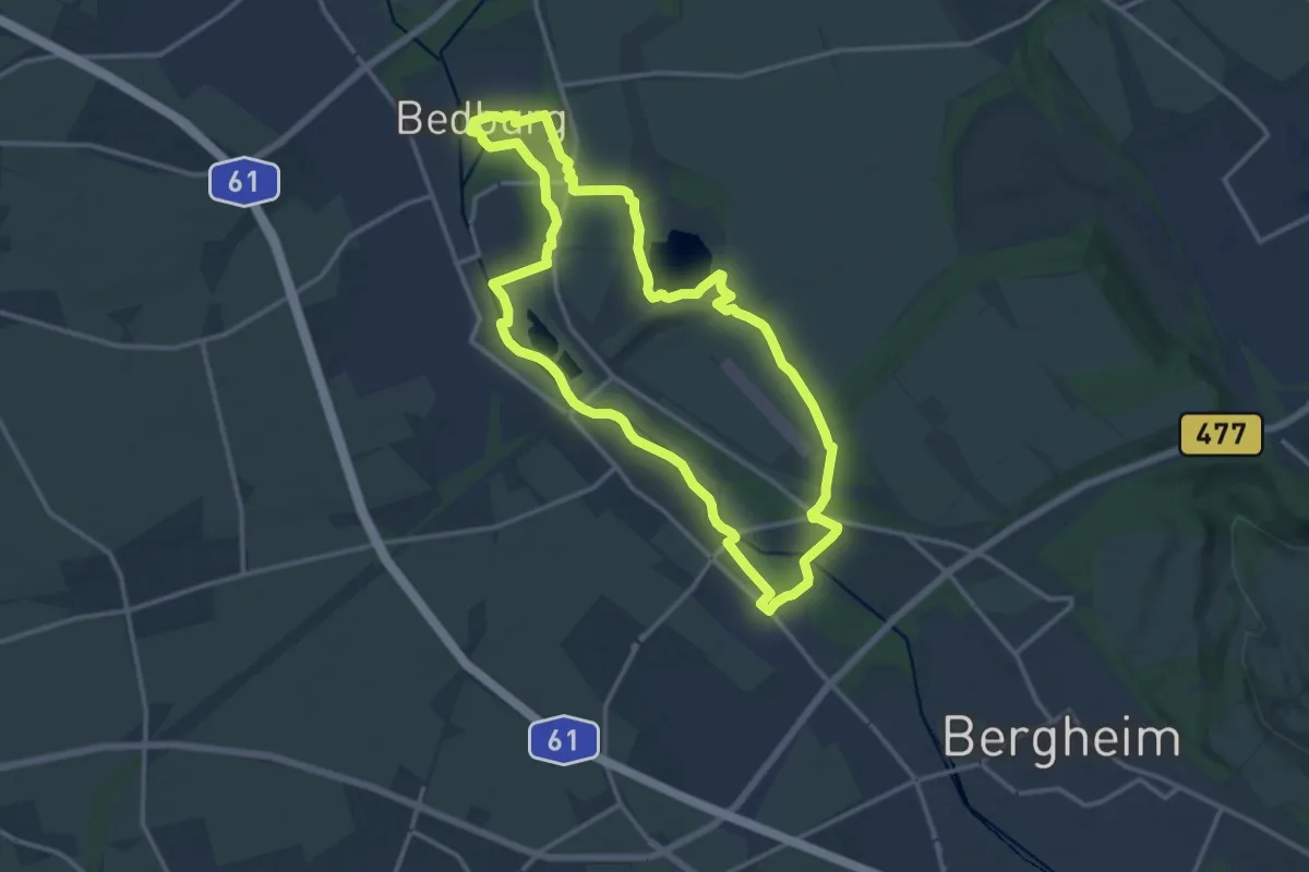
Medium · Trail
Schlösserweg
12.6 km · ↑ 22 m · 3 h 12 min
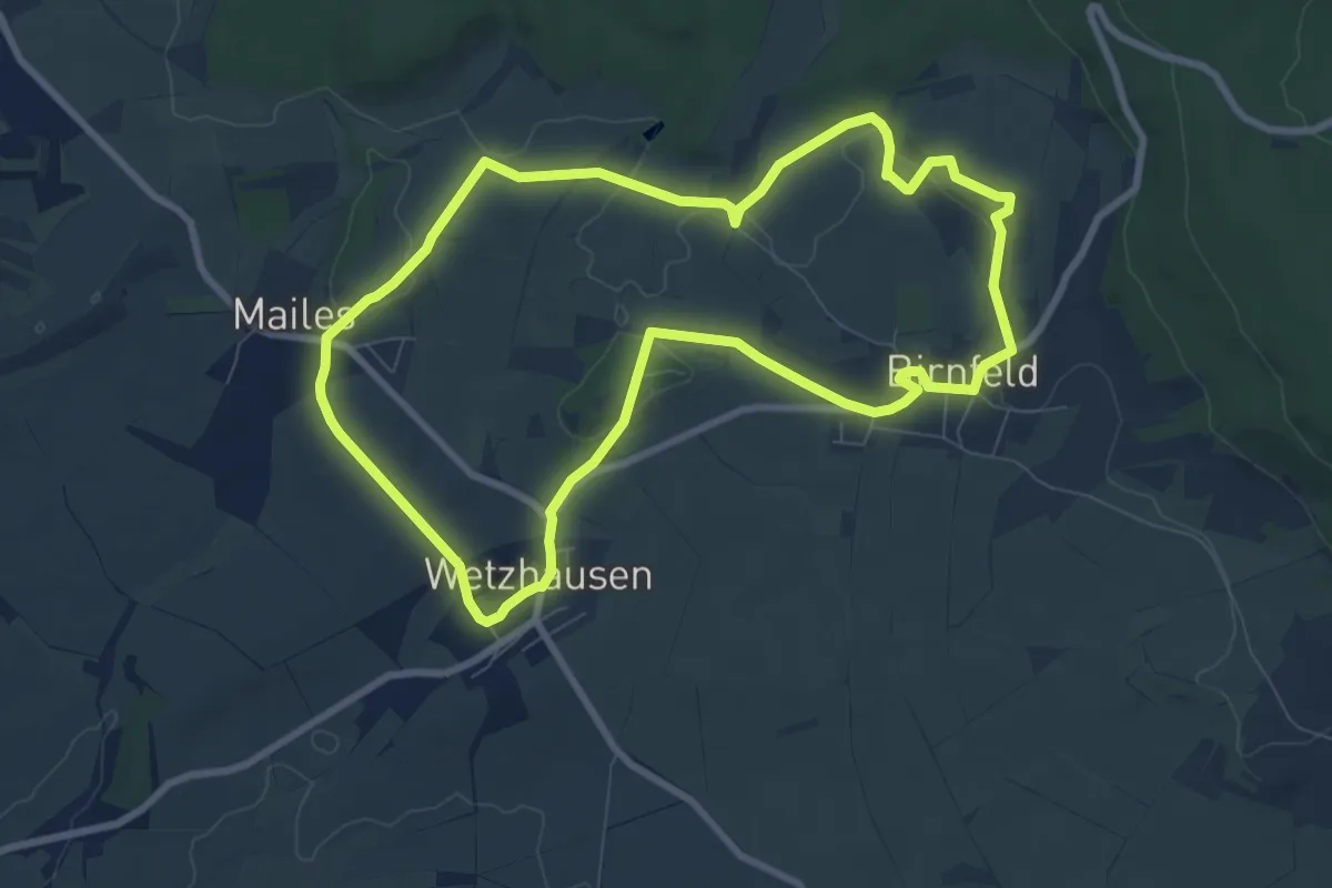
Easy · Trail
Schlösserweg Mailes
7.7 km · ↑ 106 m · 2 h 9 min
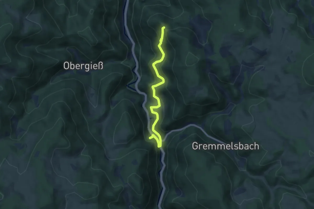
Medium · Trail
Schloßfelsen - Steinbis
6.5 km · ↑ 439 m · 2 h 29 min
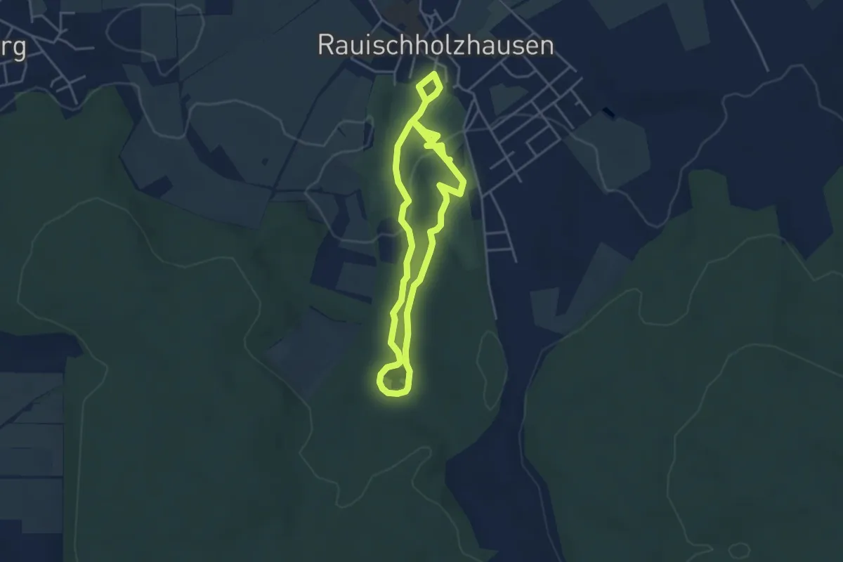
Easy · Trail
SchlossGrundWeg
3.3 km · ↑ 37 m · 56 min
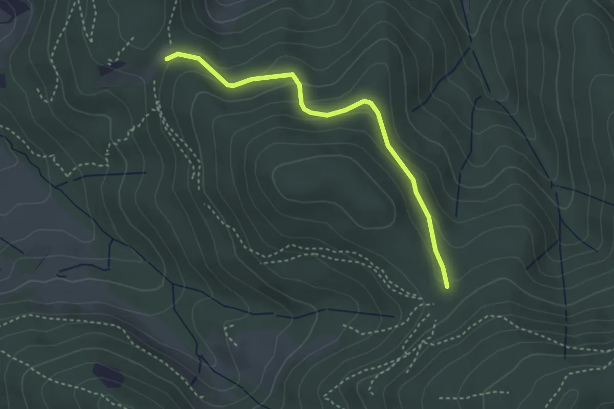
Easy · Trail
Schlosshäuser Mitte - Rottecksruhe Nord
3.2 km · ↑ 119 m · 1 h
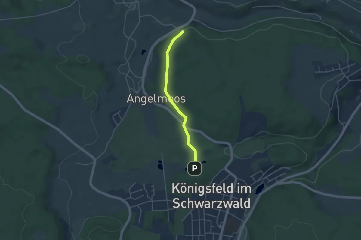
Easy · Trail
Schlosshof - Donisweiher
3.2 km · ↑ 64 m · 53 min
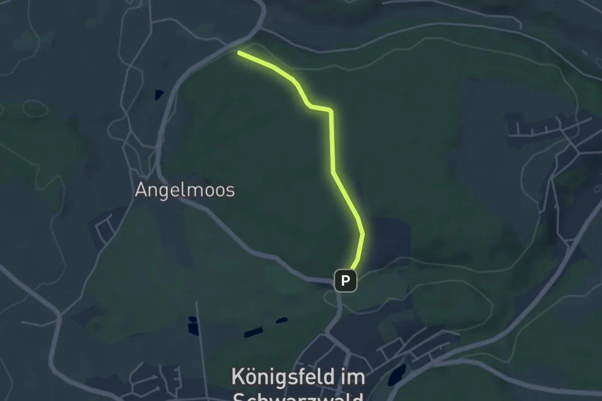
Easy · Trail
Schlosshof - Kinderweide
2.9 km · ↑ 66 m · 50 min
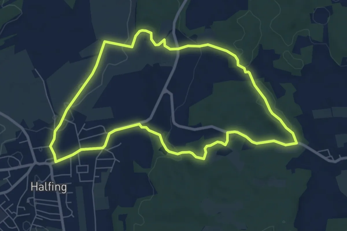
Easy · Trail
Schloßholzweg
6.2 km · ↑ 104 m · 1 h 47 min
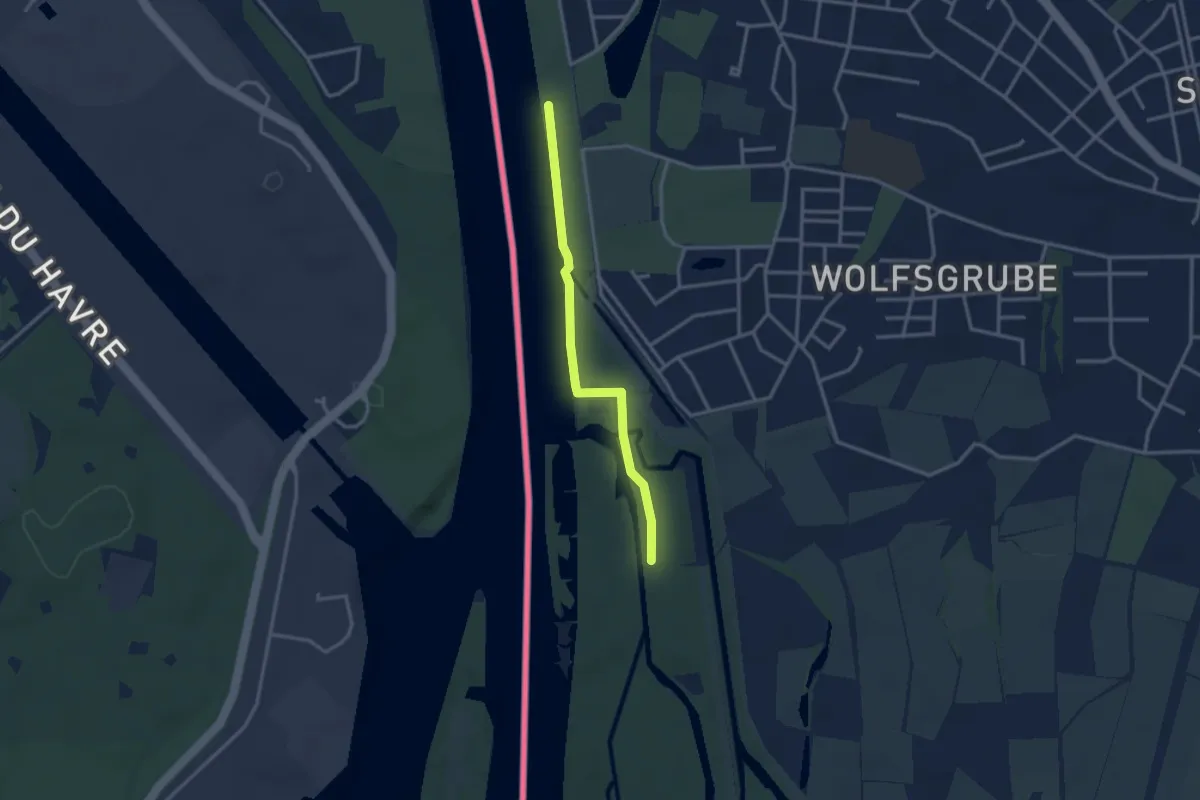
Easy · Trail
Schlossjockelskopf - Rheinpromenade
2.7 km · ↑ 13 m · 40 min
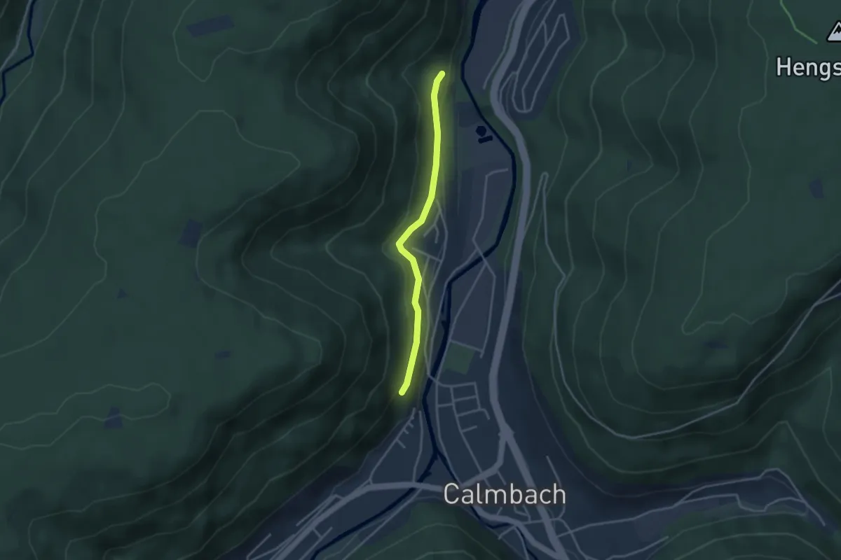
Easy · Trail
Schloßkopf - Franzosenbrunnen
2.9 km · ↑ 94 m · 54 min
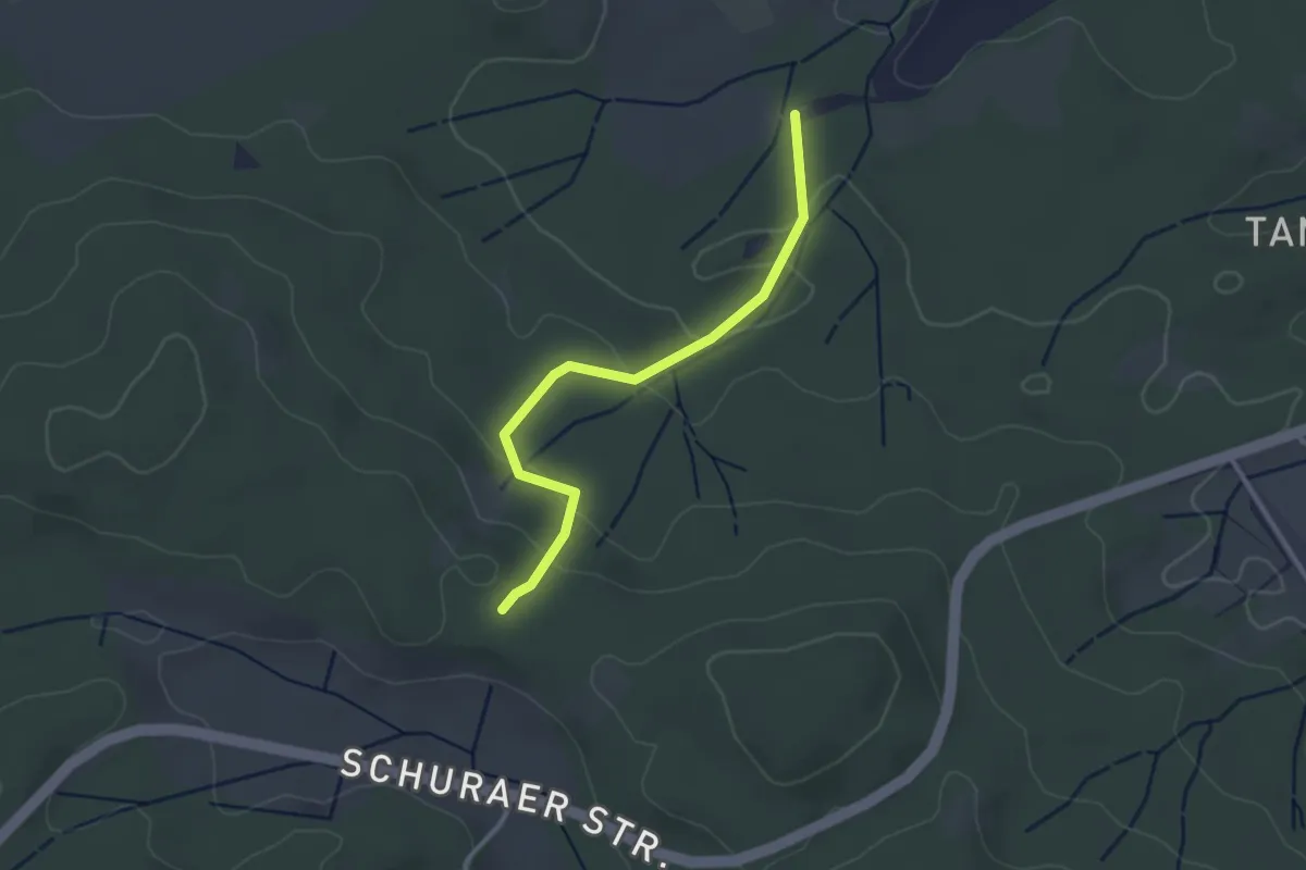
Easy · Trail
Schlösslebühl - Heusteige
2.7 km · ↑ 89 m · 50 min
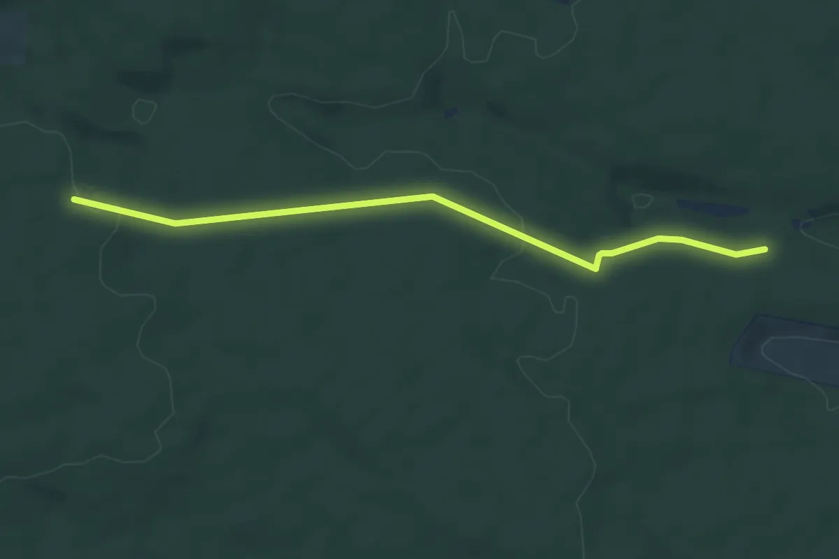
Easy · Trail
Schlößlebühl - Krummränklehütte
4.9 km · ↑ 91 m · 1 h 22 min
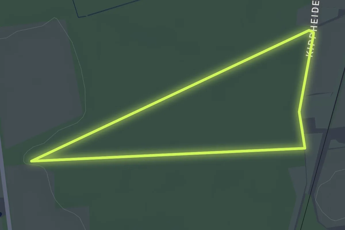
Easy · Trail
Schloß Lembeck Rundweg A1
3.9 km · ↑ 21 m · 1 h 1 min
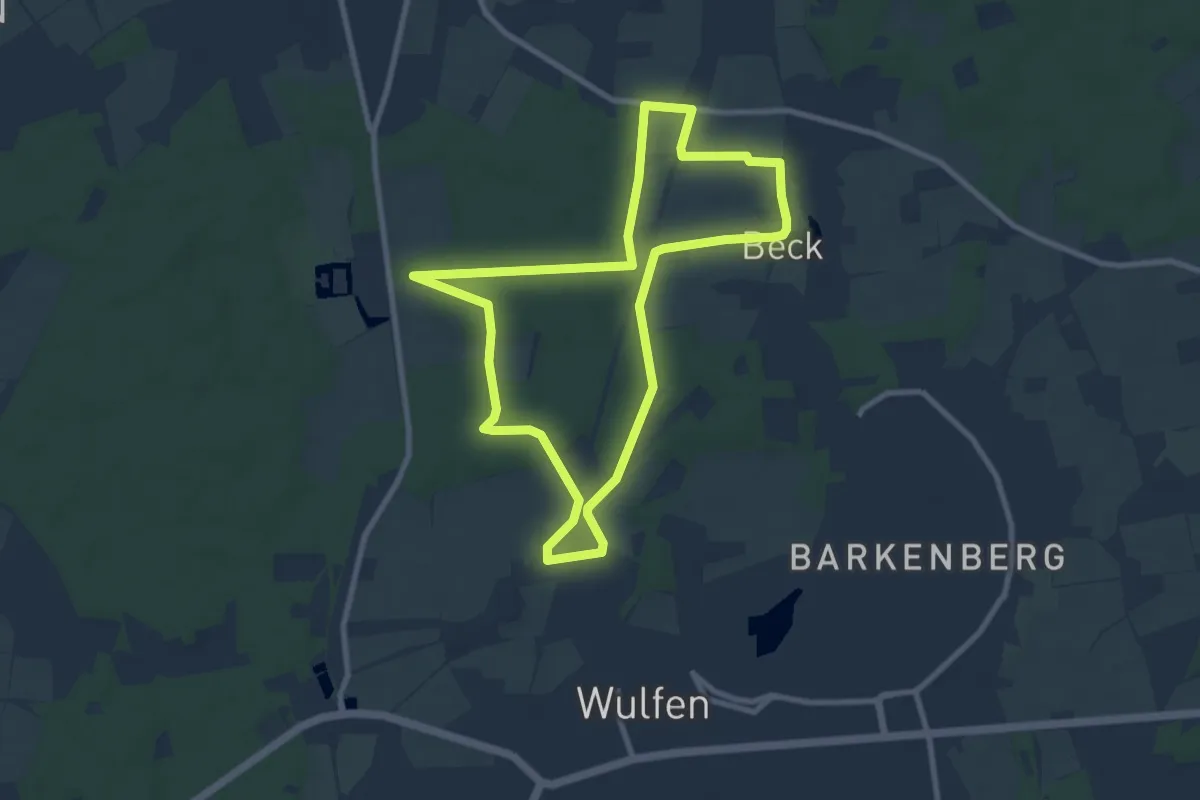
Easy · Trail
Schloß Lembeck Rundweg A2
7.8 km · ↑ 45 m · 2 h 3 min
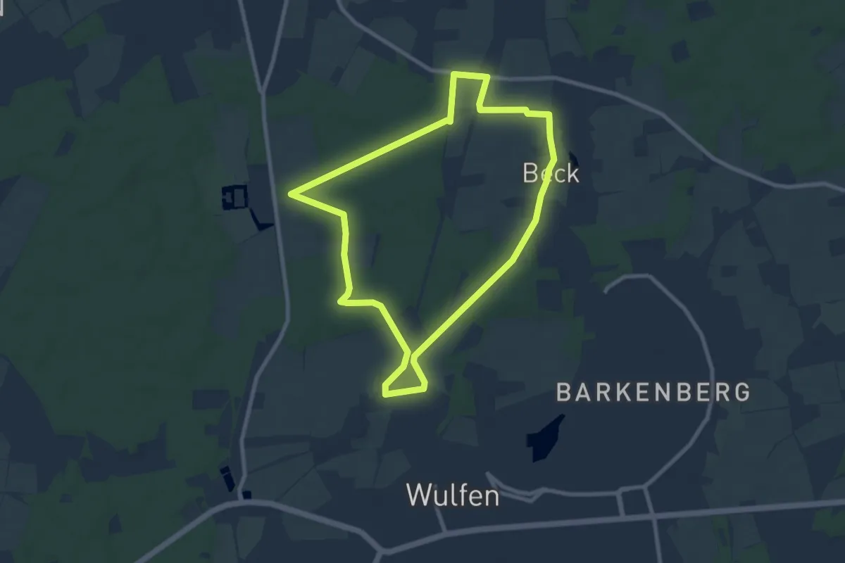
Easy · Trail
Schloß Lembeck Rundweg A3
7.2 km · ↑ 43 m · 1 h 54 min
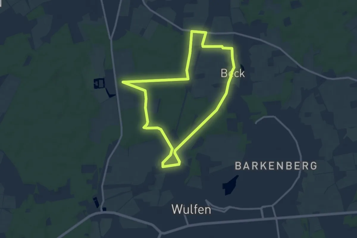
Easy · Trail
Schloß Lembeck Rundweg A4
7.5 km · ↑ 43 m · 1 h 58 min
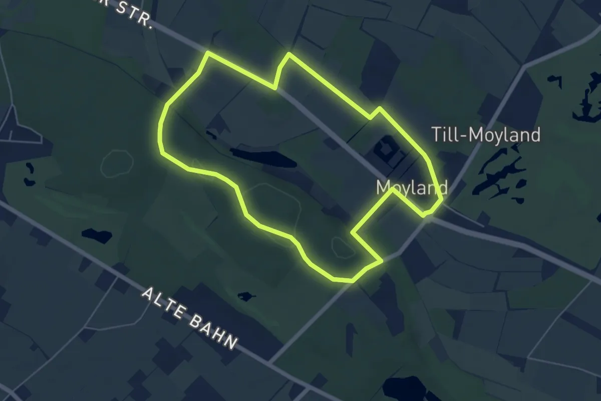
Easy · Trail
Schloß Moyland Rundweg
4.9 km · ↑ 33 m · 1 h 18 min
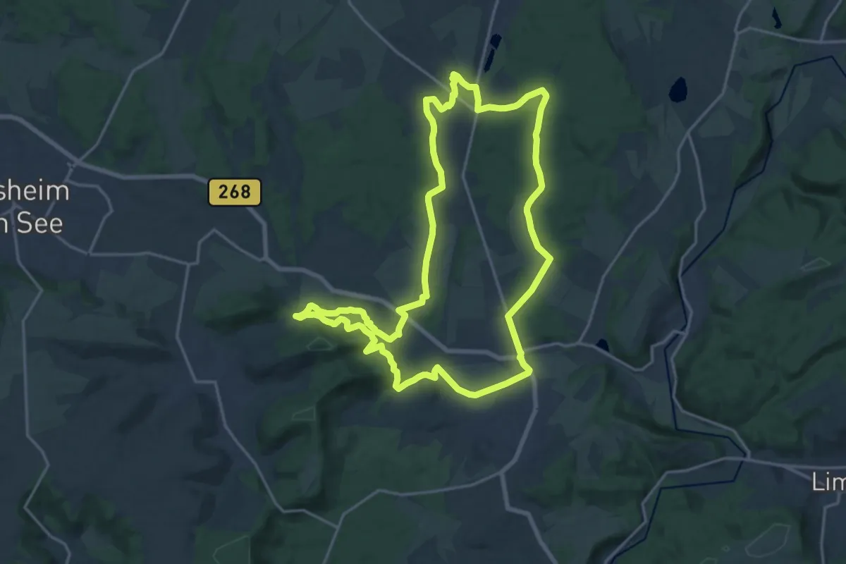
Medium · Summit
Schloss Münchweiler Weg
16.6 km · ↑ 262 m · 4 h 43 min
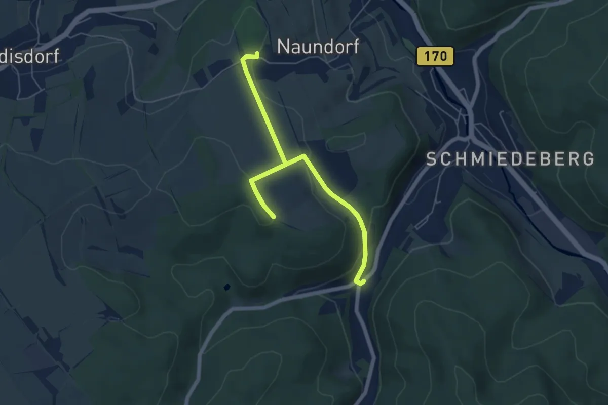
Easy · Trail
Schloss Naundorf - Pöbeltal
6.1 km · ↑ 163 m · 1 h 47 min
Easy · Trail
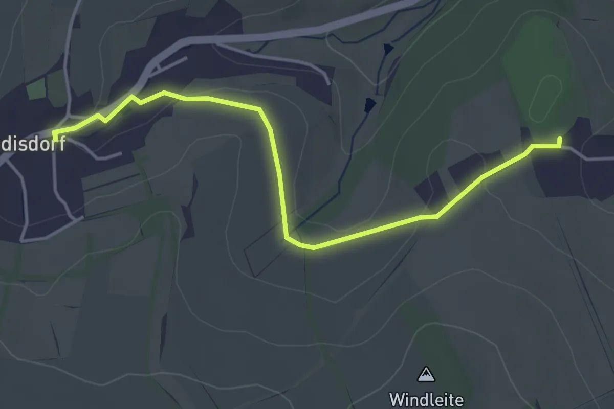
Schloss Naundorf - Sadisdorf
3.9 km · ↑ 60 m · 1 h 3 min
Medium · Trail
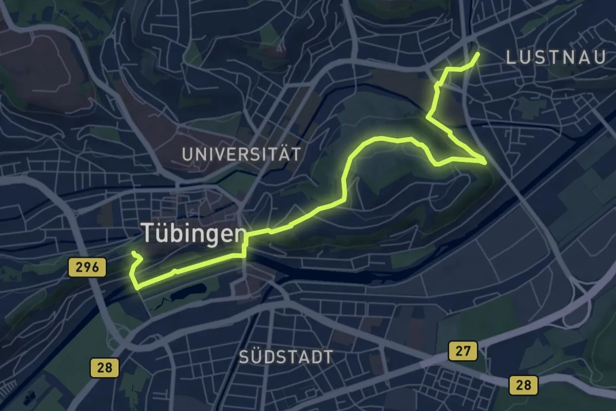
Schloss - Neckarbrücke - Lustnau
8.5 km · ↑ 230 m · 2 h 31 min
Easy · Trail
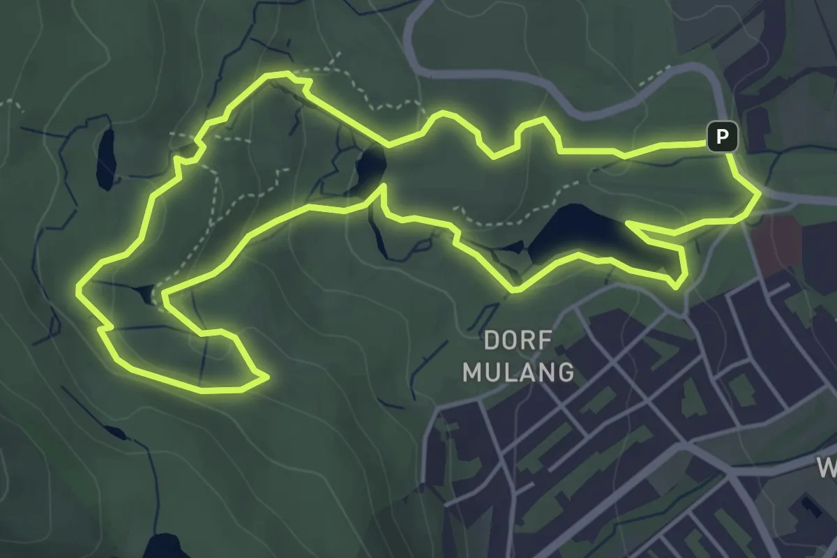
Schlosspark-Rundweg
4.9 km · ↑ 158 m · 1 h 34 min
Easy · Trail
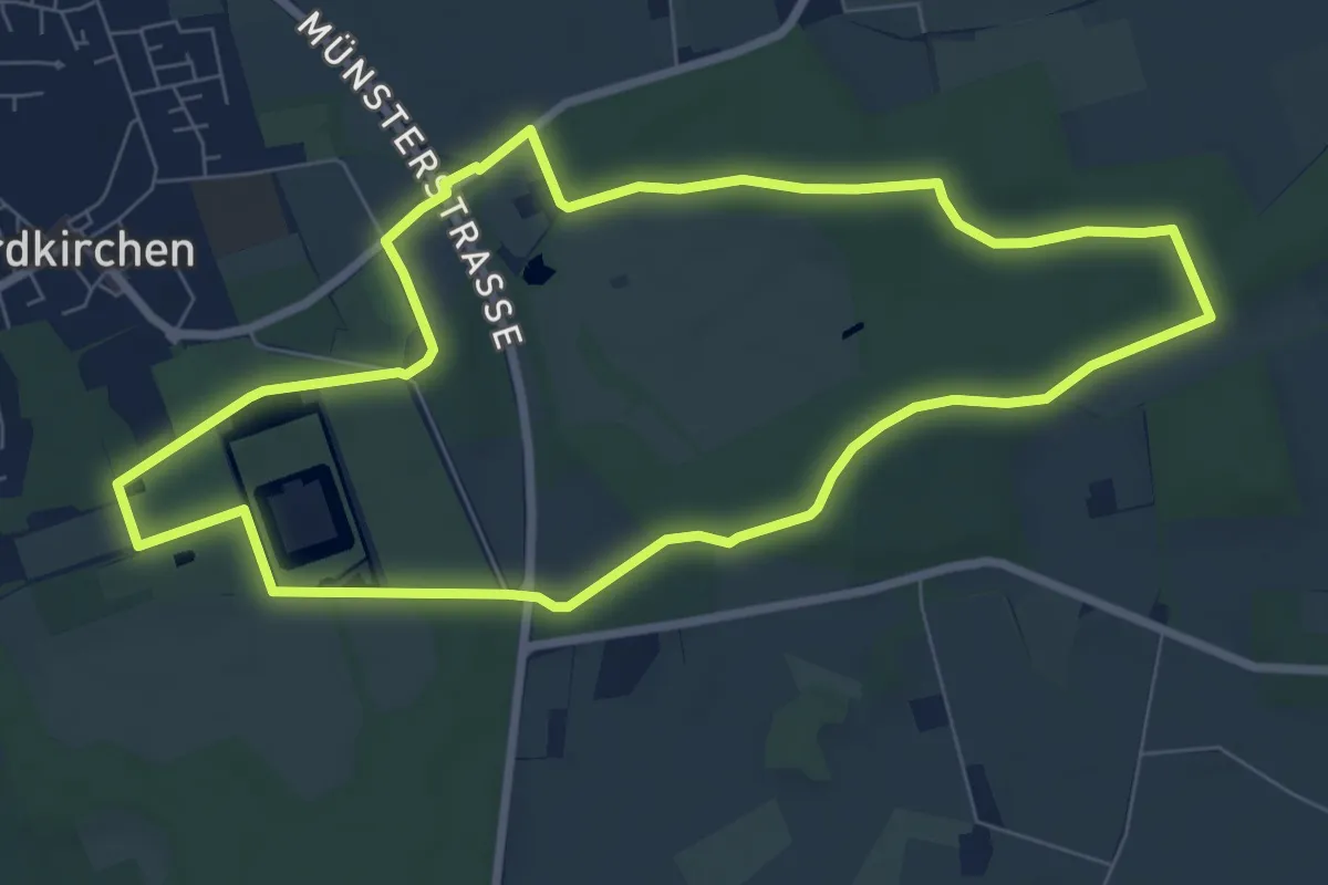
Schloßpark Rundweg A5
7.0 km · ↑ 38 m · 1 h 51 min
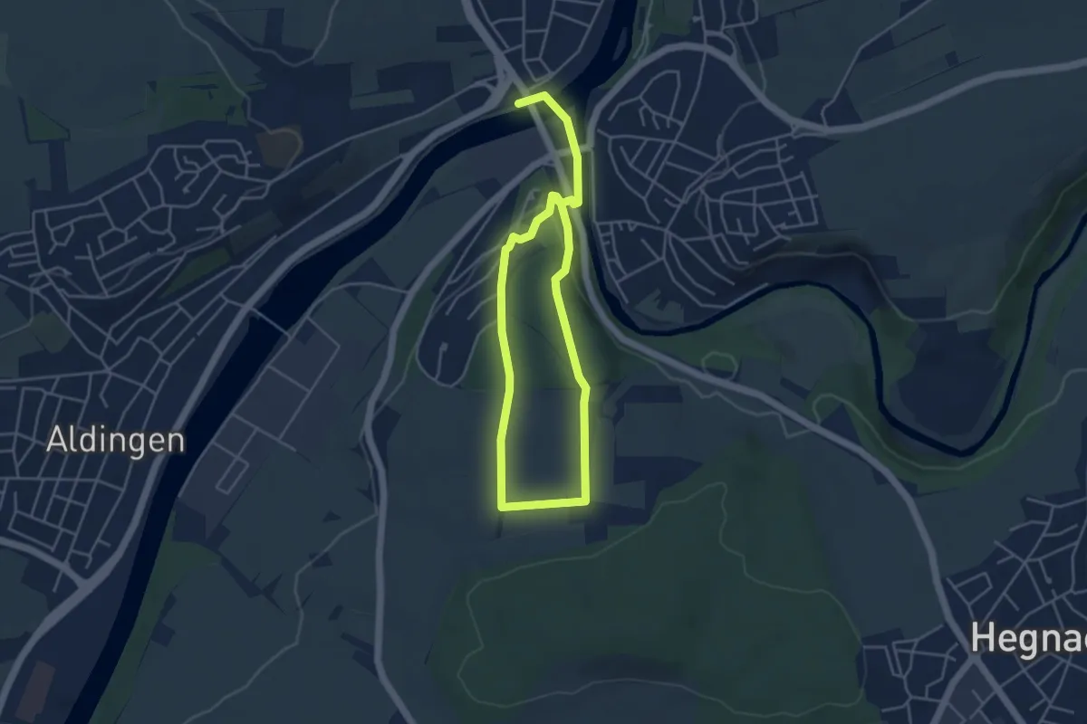
Easy · Trail
Schlosspfad
6.6 km · ↑ 158 m · 1 h 54 min
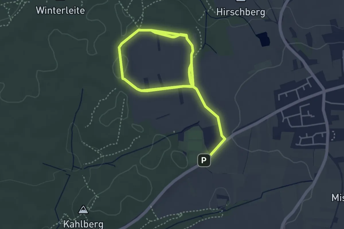
Easy · Trail
Schloß-Pfad
7.3 km · ↑ 40 m · 1 h 49 min
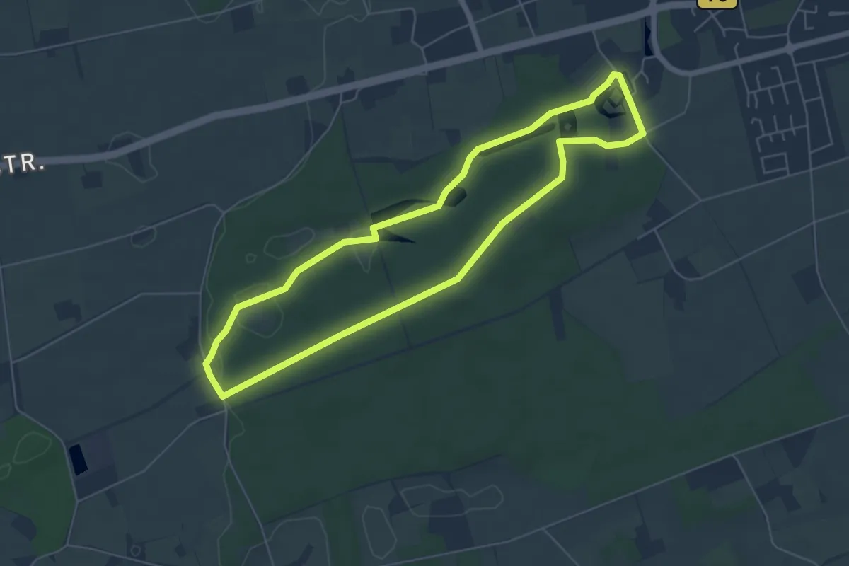
Easy · Trail
Schloß Raesfeld Rundweg A1
5.0 km · ↑ 23 m · 1 h 18 min
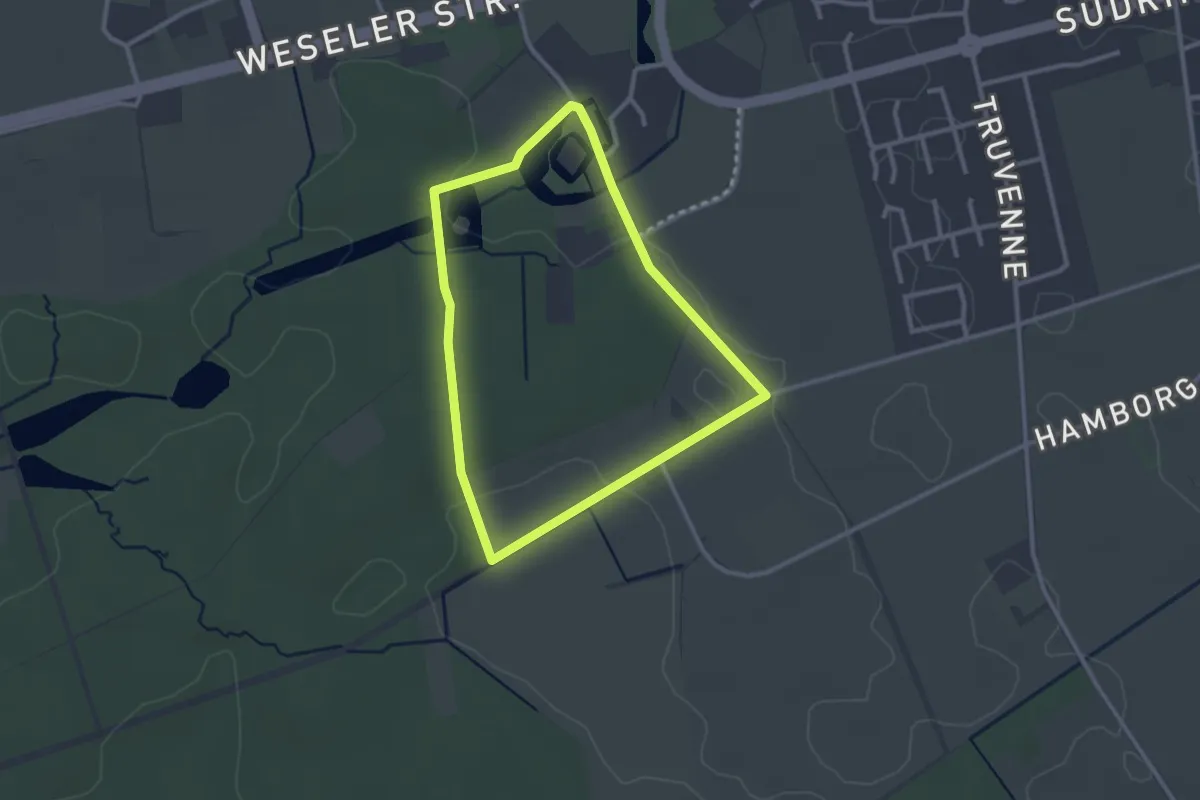
Easy · Trail
Schloß Raesfeld Rundweg A2
2.3 km · ↑ 17 m · 36 min