Trails in Germany
36,852 hiking trails, each with its route, climb, walking time and grade.
All trails, page 612 of 768
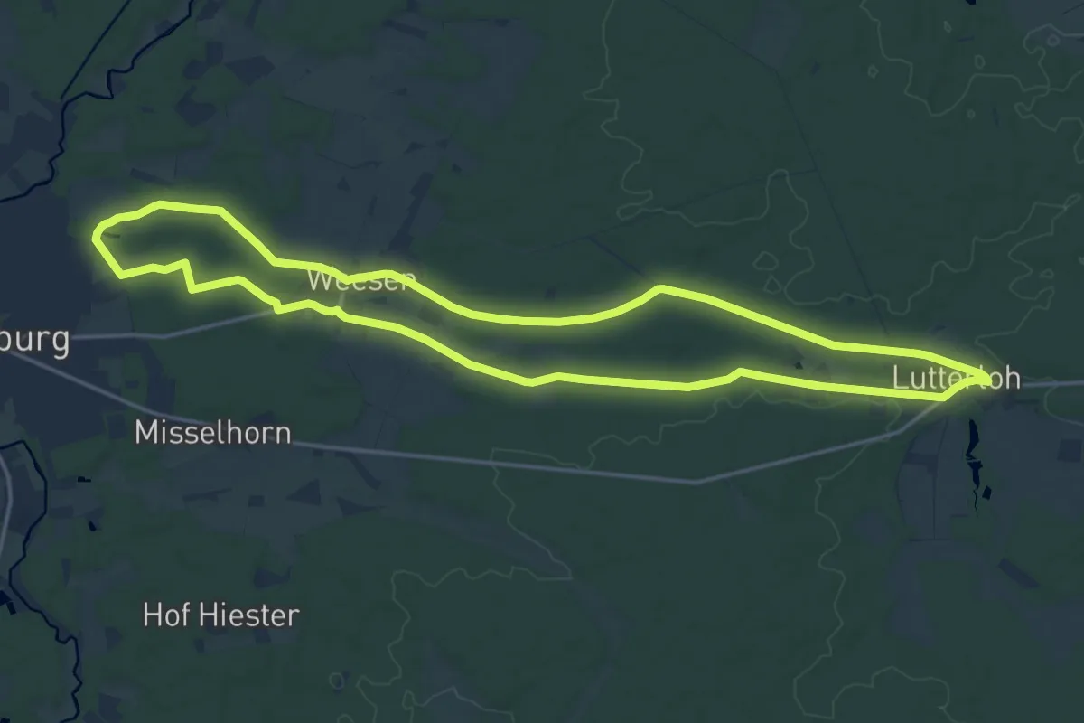
Medium · Trail
Südheide 'In einem Bächlein helle' W6l (lange Tour)
16.0 km · ↑ 55 m · 4 h 6 min
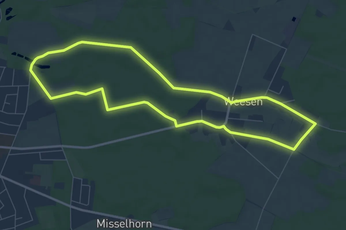
Easy · Trail
Südheide 'In einem Bächlein helle' W6m (mittlere Tour)
6.9 km · ↑ 17 m · 1 h 45 min
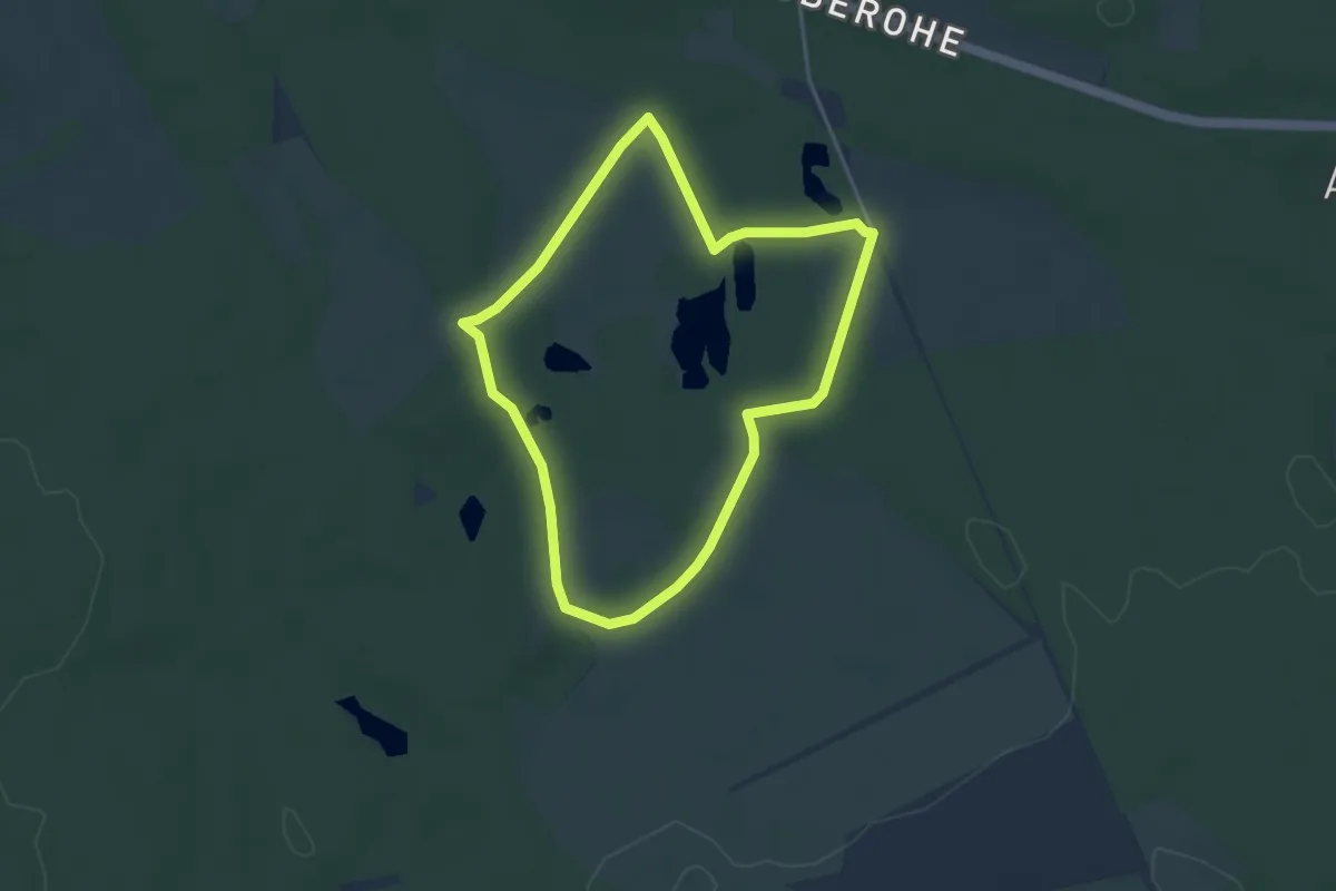
Easy · Trail
Südheide 'Kieselgur - das Gold der Heide' W5k (kurze Tour)
3.2 km · ↑ 13 m · 50 min
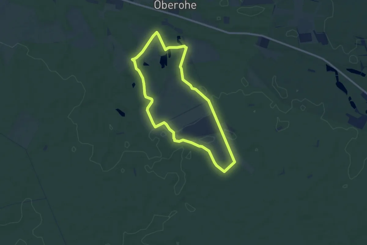
Easy · Trail
Südheide 'Kieselgur - das Gold der Heide' W5l (lange Tour)
6.6 km · ↑ 37 m · 1 h 44 min
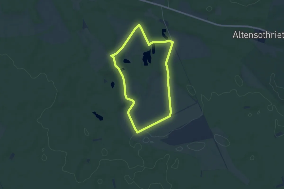
Easy · Trail
Südheide 'Kieselgur - das Gold der Heide' W5m (mittlere Tour)
4.2 km · ↑ 18 m · 1 h 6 min
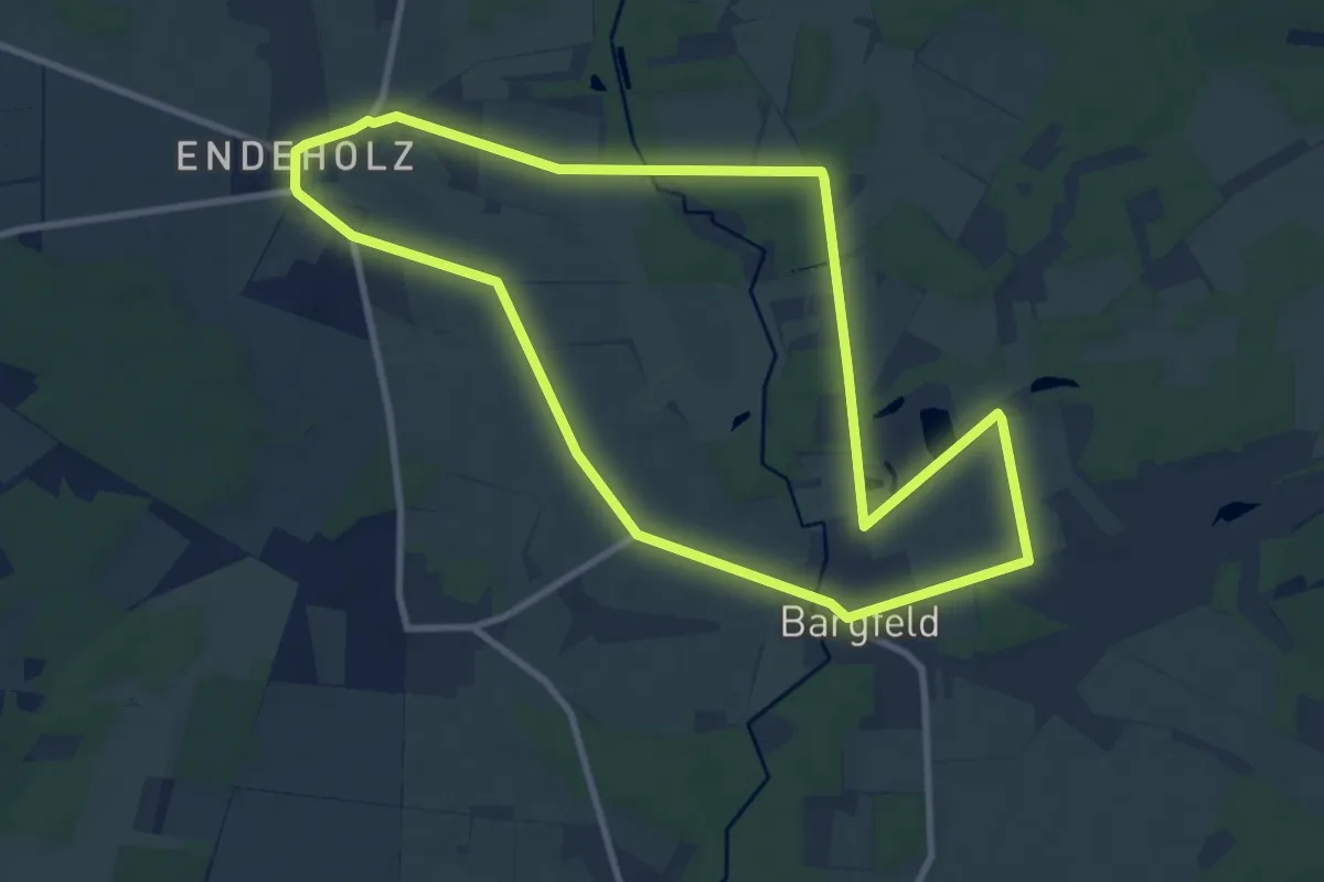
Medium · Trail
Südheide 'Kühe in Halbtrauer' W21m (mittlere Tour)
8.6 km · ↑ 31 m · 2 h 13 min
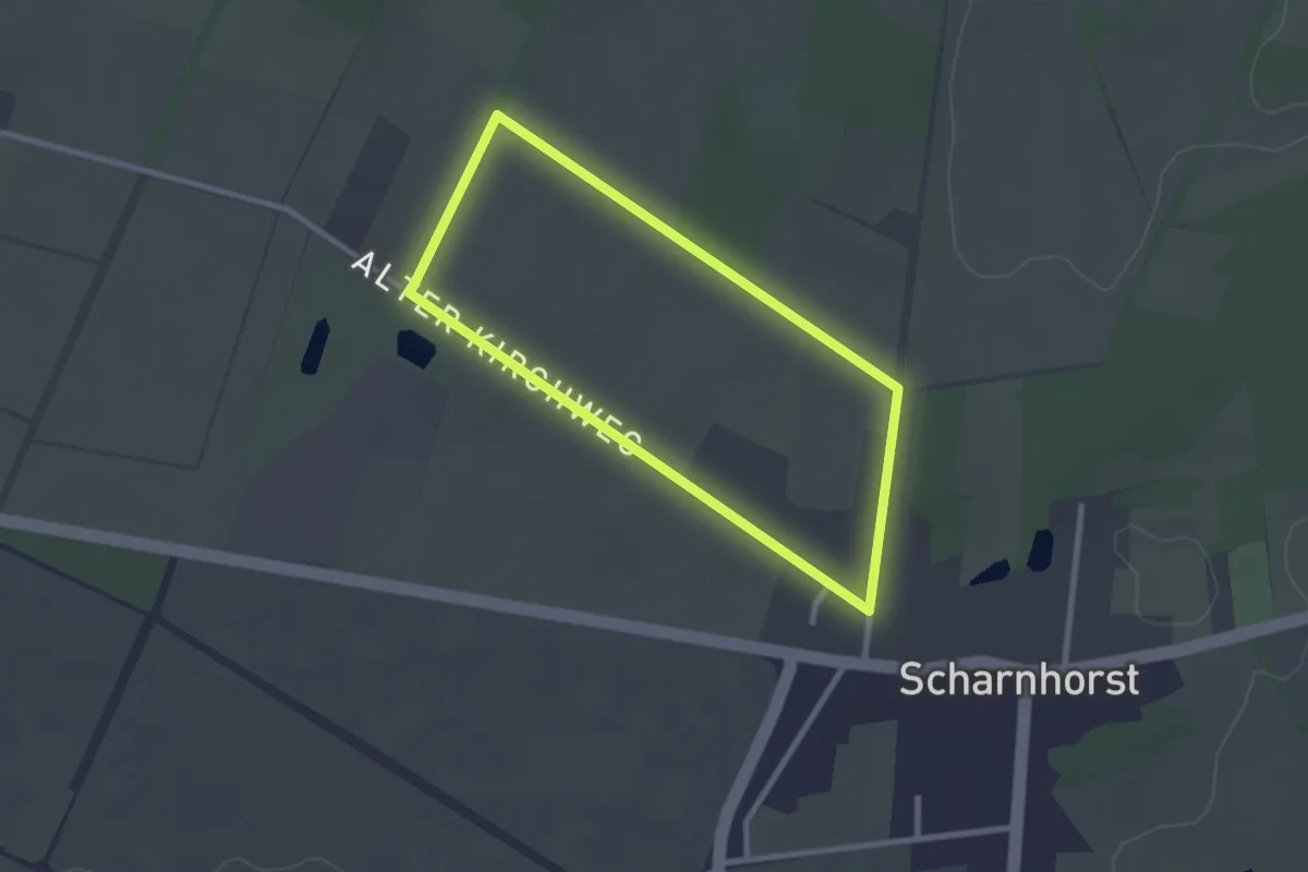
Easy · Trail
Südheide 'Magische Orte längs des Weges' W20k (kurze Tour)
2.1 km · ↑ 4 m · 32 min
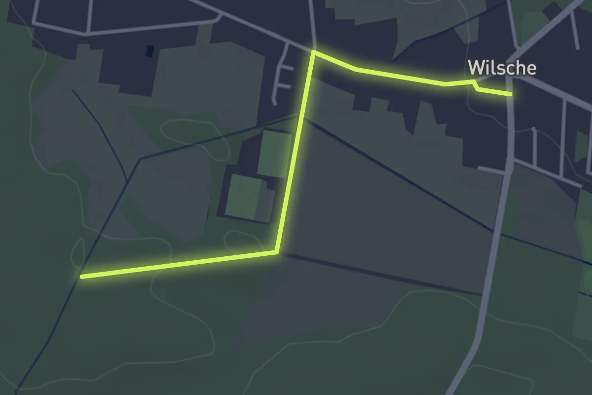
Easy · Trail
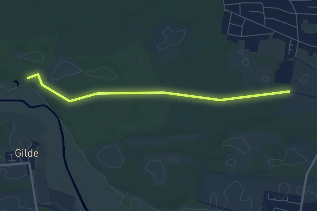
Südheide Marathon (gelb)
3.0 km · ↑ 14 m · 44 min
Easy · Trail
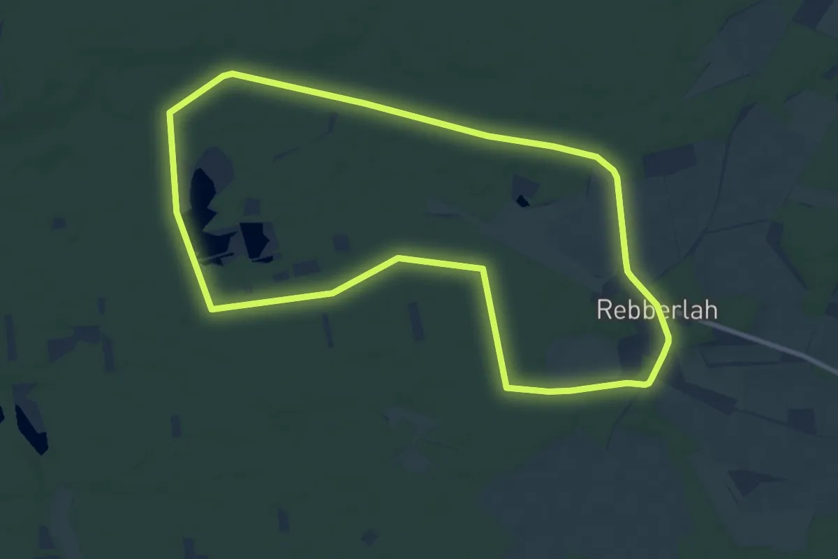
Südheide Marathon (rot)
5.4 km · ↑ 9 m · 1 h 18 min
Medium · Trail
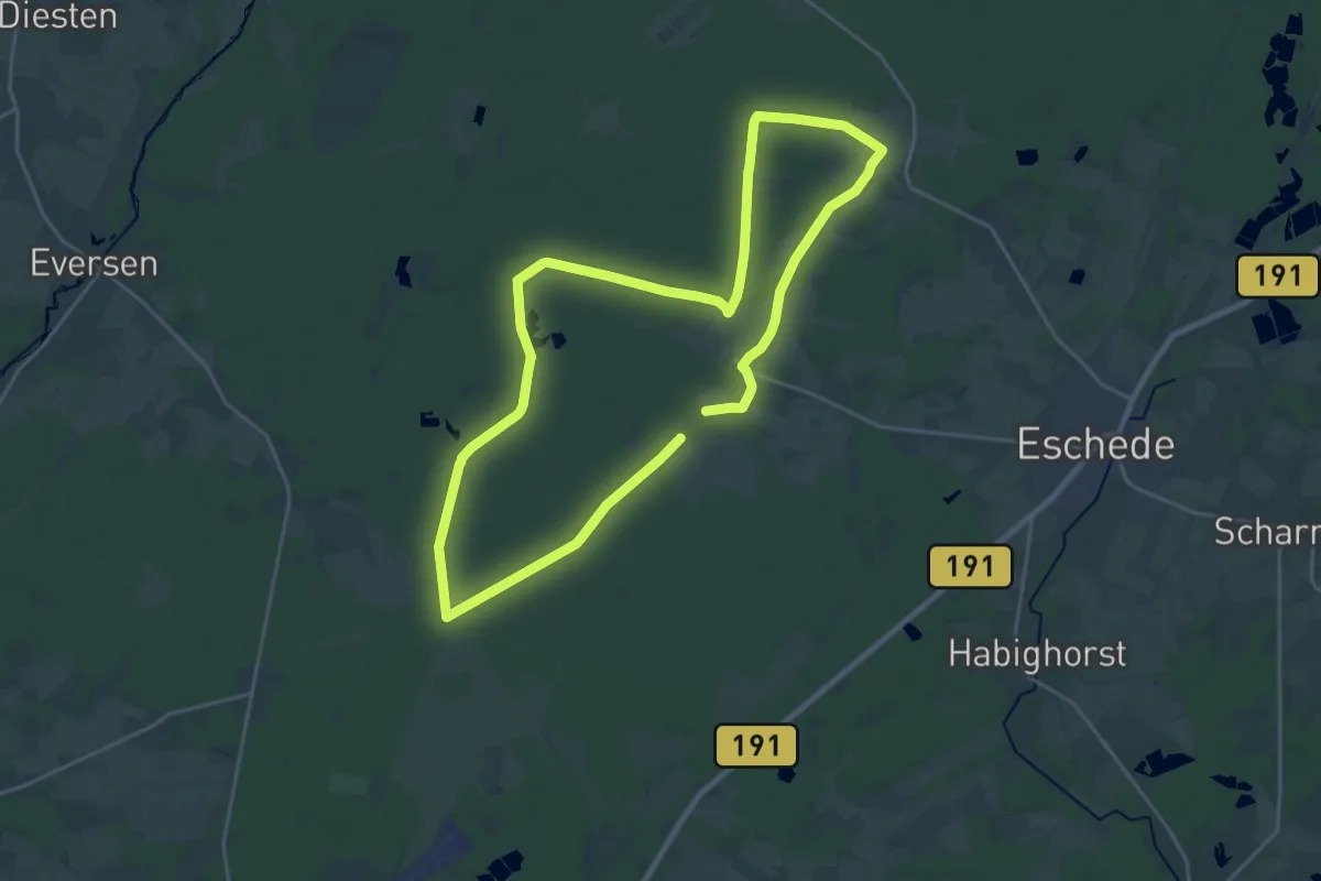
Südheide 'Reine Luft zu sehen' W18k (kurze Tour)
8.4 km · ↑ 22 m · 2 h 9 min
Demanding · Trail
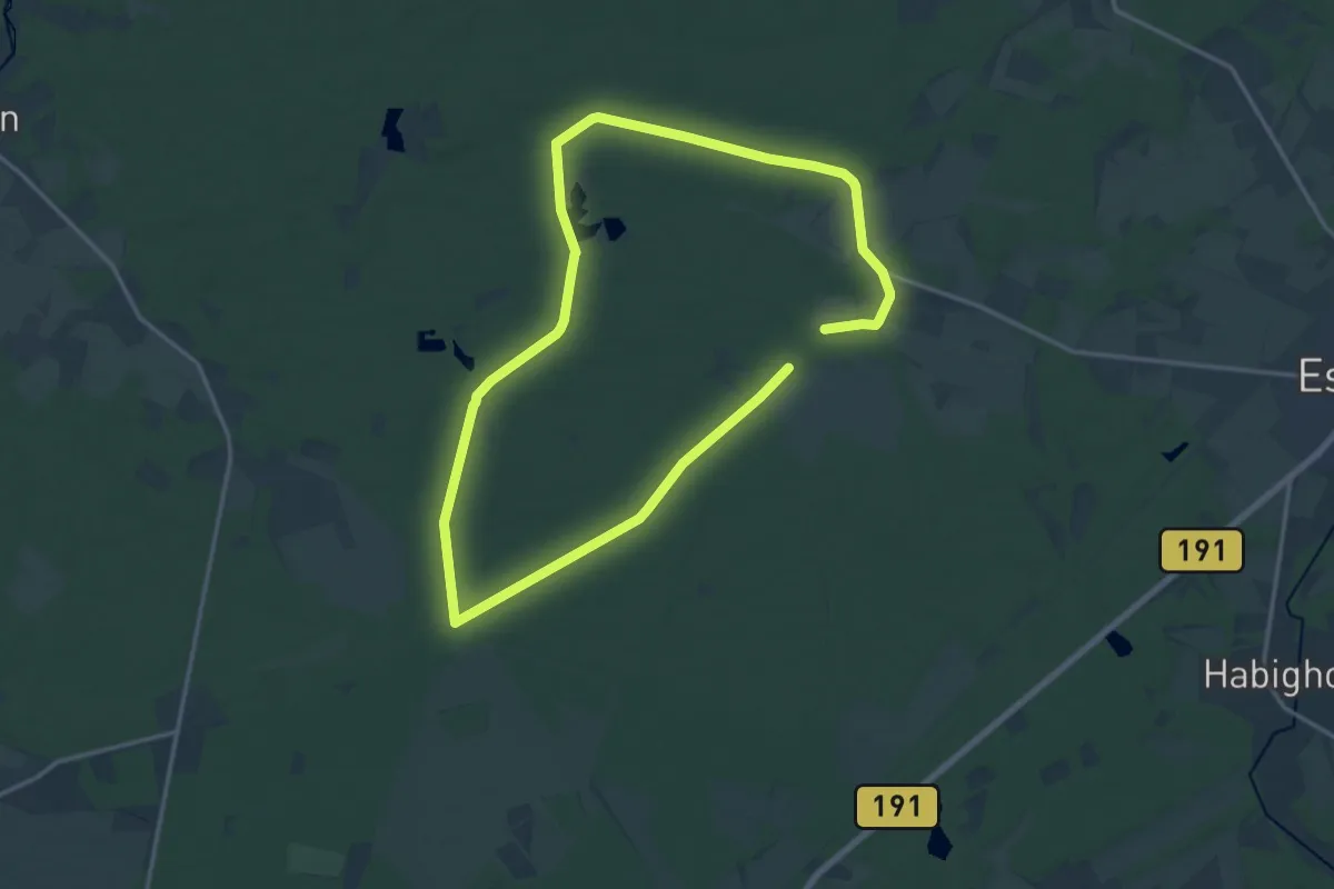
Südheide 'Reine Luft zu sehen' W18l (lange Tour)
19.4 km · ↑ 47 m · 4 h 58 min
Medium · Trail
Südheide 'Reine Luft zu sehen' W18m (mittlere Tour)
12.8 km · ↑ 21 m · 3 h 14 min
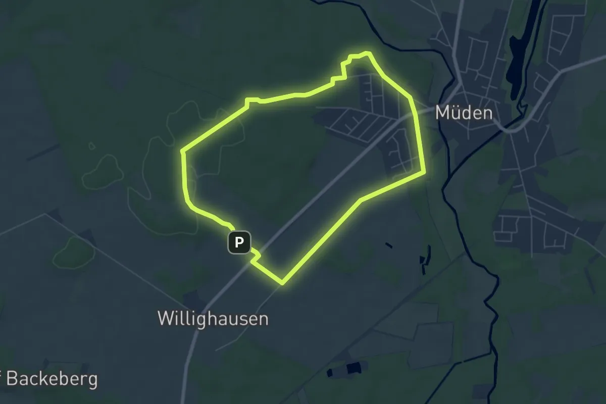
Easy · Trail
Südheide 'Sagenhafte Sicht im Elfenland' W4k (kurze Tour)
5.4 km · ↑ 43 m · 1 h 26 min
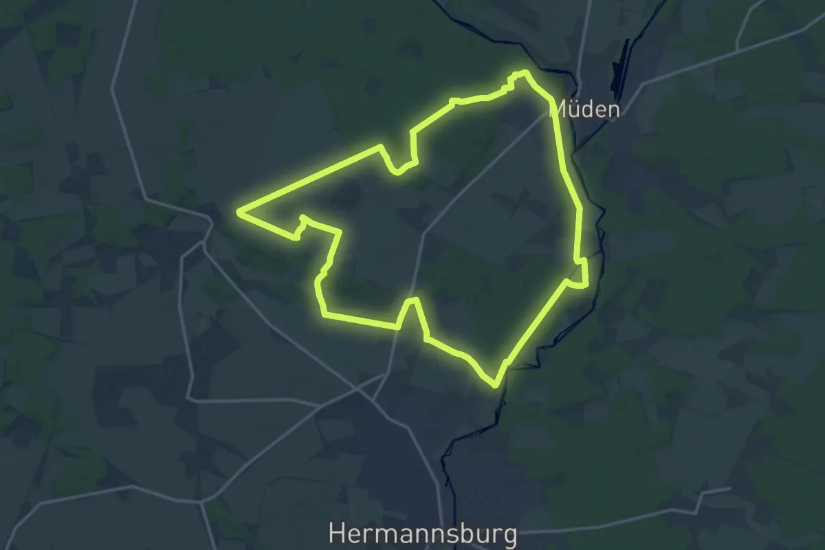
Medium · Trail
Südheide 'Sagenhafte Sicht im Elfenland' W4l (lange Tour)
14.4 km · ↑ 73 m · 3 h 46 min
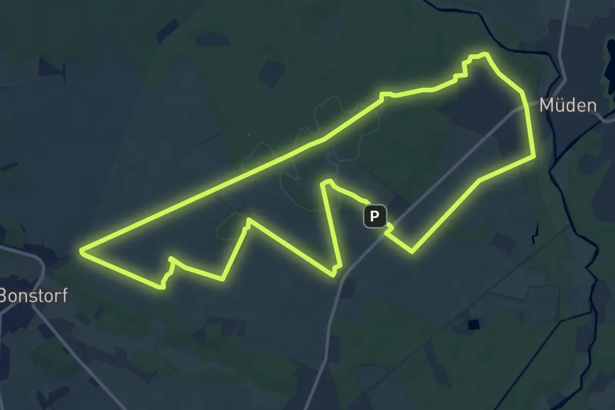
Medium · Summit
Südheide 'Sagenhafte Sicht im Elfenland' W4m (mittlere Tour)
11.1 km · ↑ 92 m · 2 h 58 min
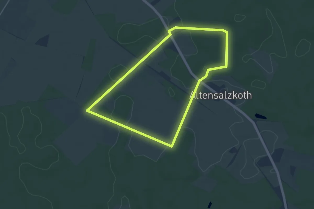
Easy · Trail
Südheide 'Salz in der Heide' W16k (kurze Tour)
3.3 km · ↑ 13 m · 51 min
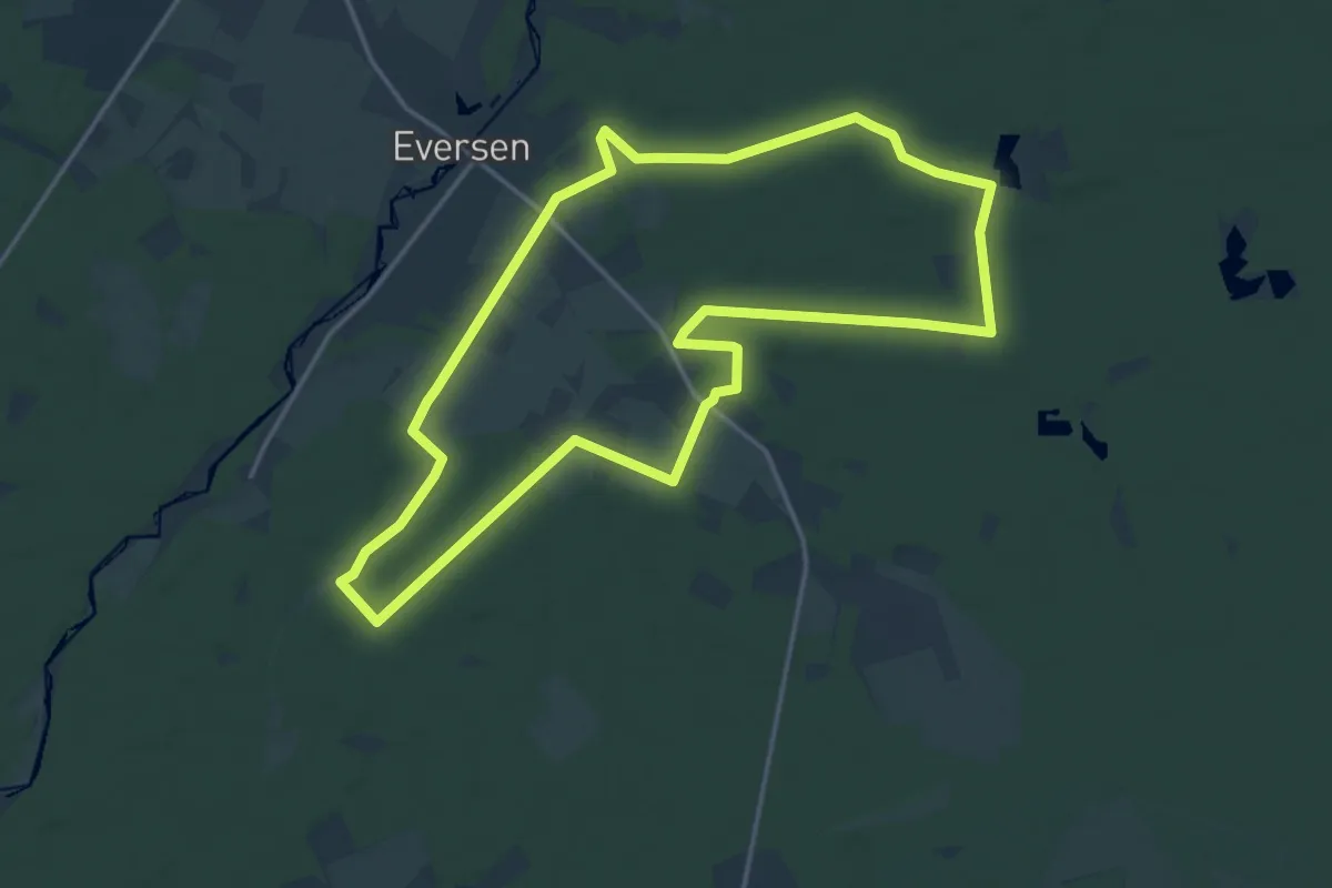
Medium · Trail
Südheide 'Salz in der Heide' W16l (lange Tour)
15.0 km · ↑ 51 m · 3 h 51 min
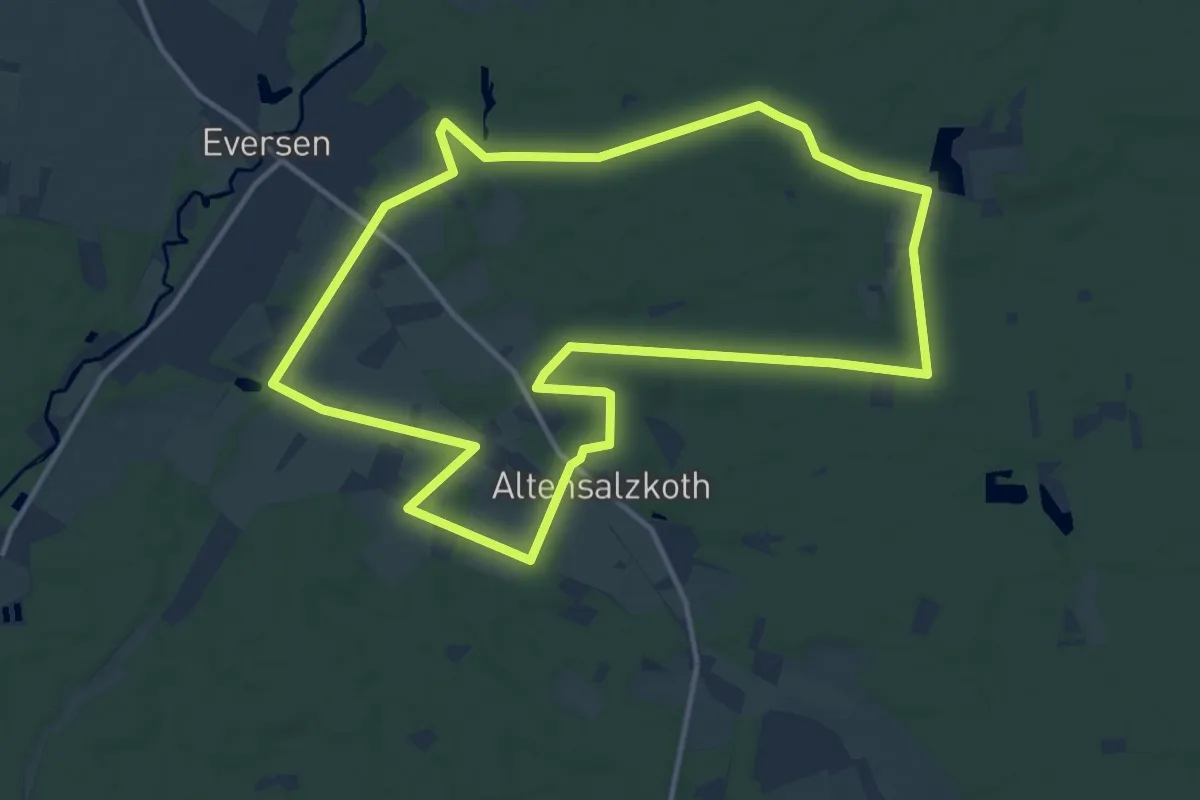
Medium · Trail
Südheide 'Salz in der Heide' W16m (mittlere Tour)
12.2 km · ↑ 38 m · 3 h 9 min
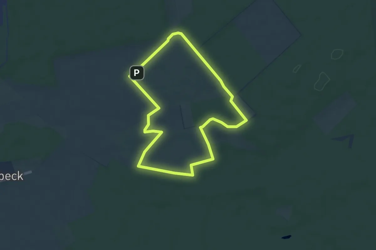
Easy · Trail
Südheide 'Wacholderwald in der Teufelsheide' W1k (kurze Tour)
4.4 km · ↑ 17 m · 1 h 9 min
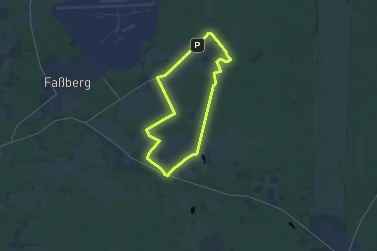
Medium · Trail
Südheide 'Wacholderwald in der Teufelsheide' W1l (lange Tour)
11.9 km · ↑ 51 m · 3 h 6 min
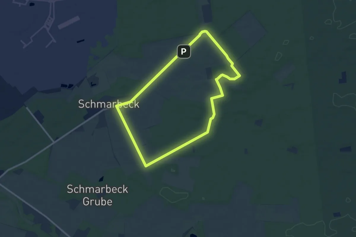
Easy · Trail
Südheide 'Wacholderwald in der Teufelsheide' W1m (mittlere Tour)
7.2 km · ↑ 34 m · 1 h 53 min
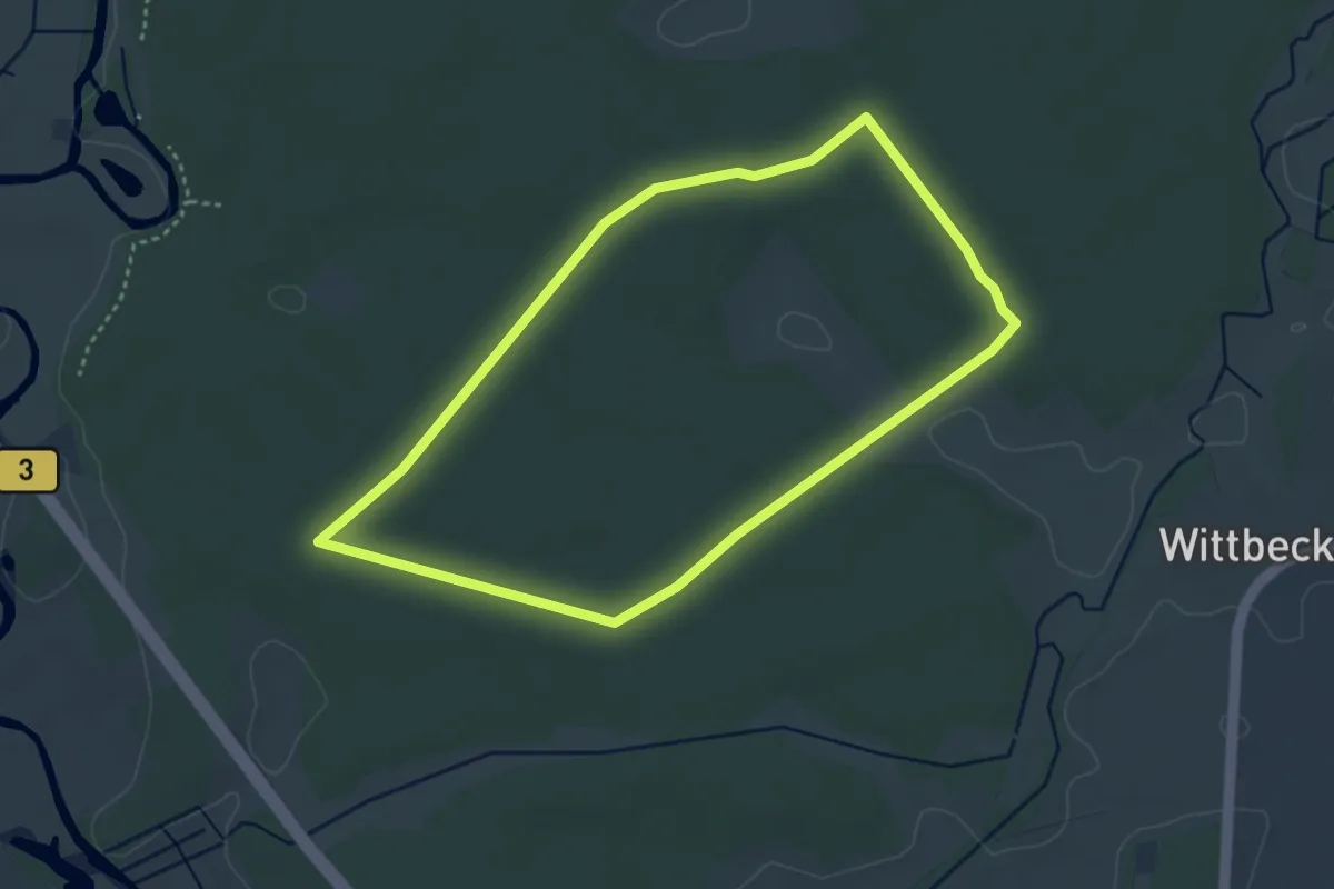
Easy · Trail
Südheide 'Wasser und Sand' W17k (kurze Tour)
3.1 km · ↑ 8 m · 47 min
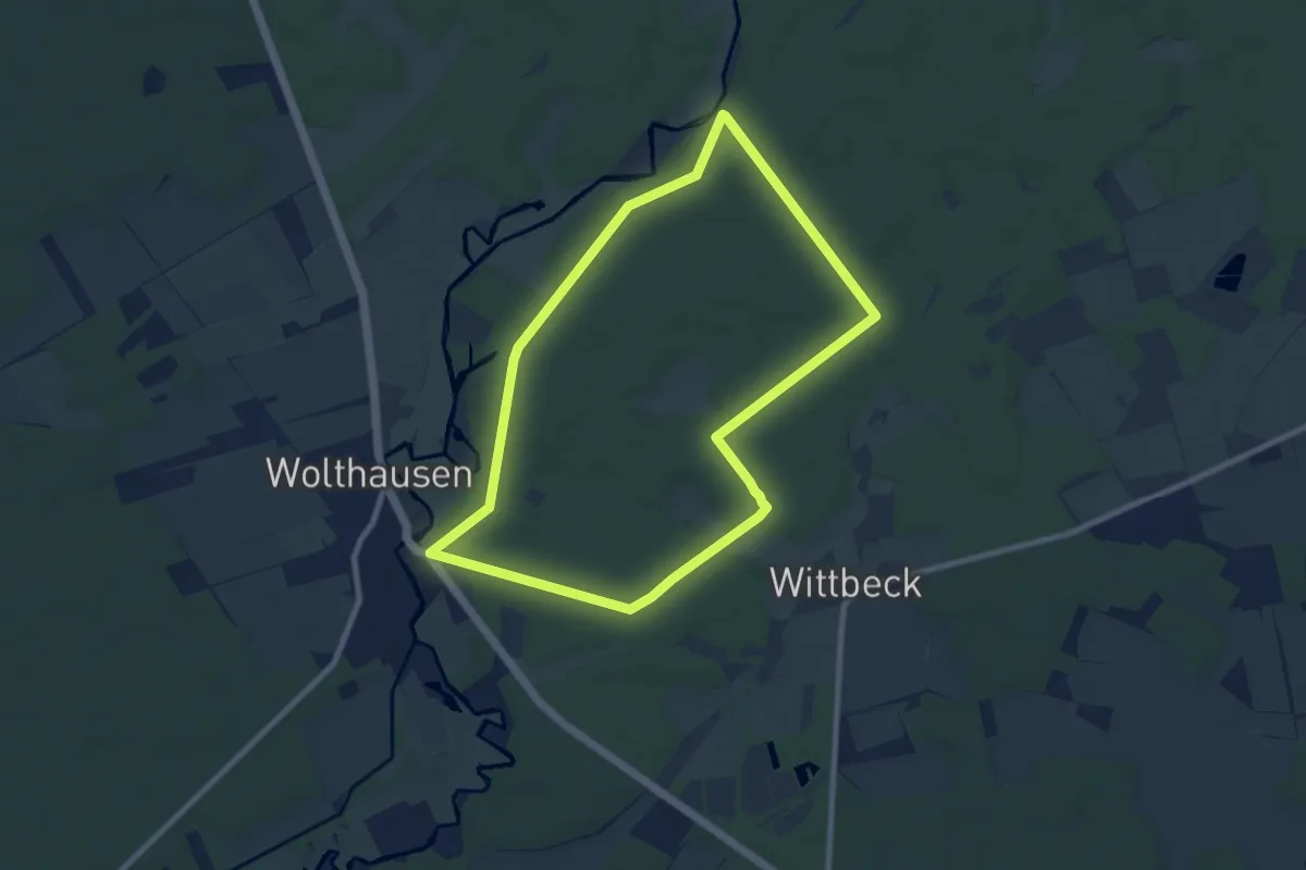
Easy · Trail
Südheide 'Wasser und Sand' W17m (mittlere Tour)
7.5 km · ↑ 36 m · 1 h 57 min
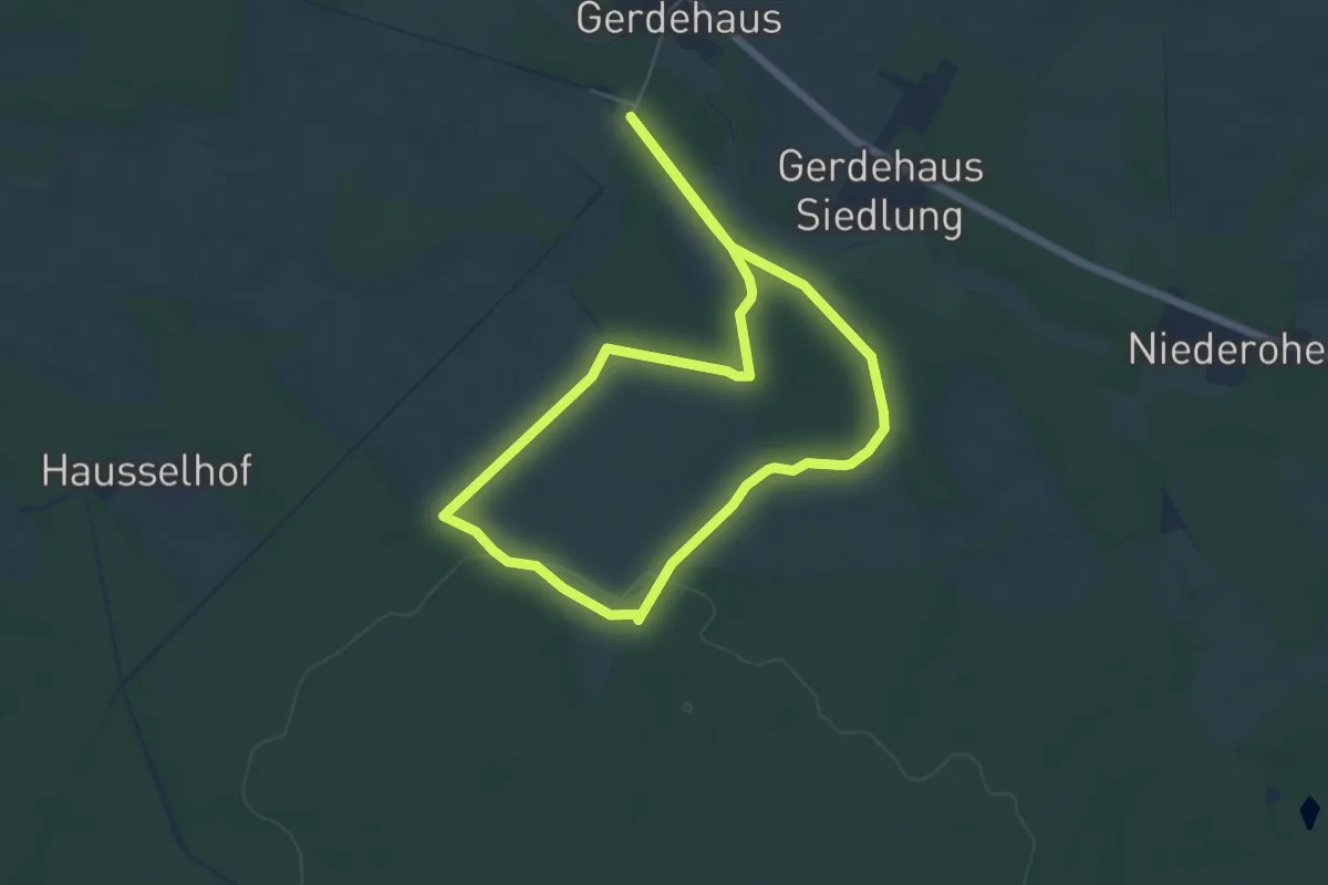
Easy · Trail
Südheide 'Wo der Wald mit der Heide kuselt' W2k (kurze Tour)
4.9 km · ↑ 37 m · 1 h 18 min
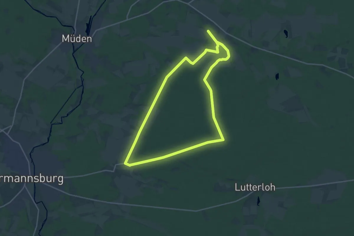
Medium · Trail
Südheide 'Wo der Wald mit der Heide kuselt' W2l (lange Tour)
15.2 km · ↑ 98 m · 4 h 1 min
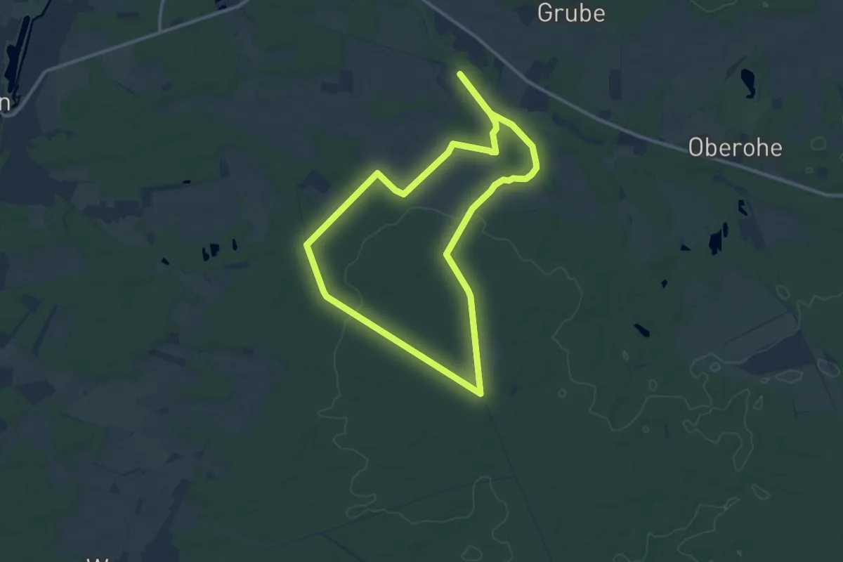
Medium · Trail
Südheide 'Wo der Wald mit der Heide kuselt' W2m (mittlere Tour)
9.6 km · ↑ 76 m · 2 h 33 min
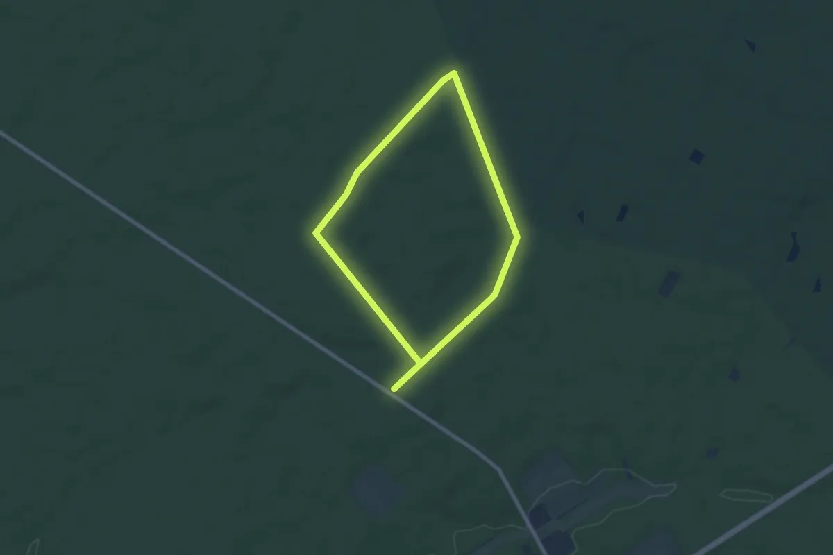
Easy · Trail
Südheide 'Wo die Wölfe ihre Fährten ziehen' W9k (kurze Tour)
5.4 km · ↑ 21 m · 1 h 23 min
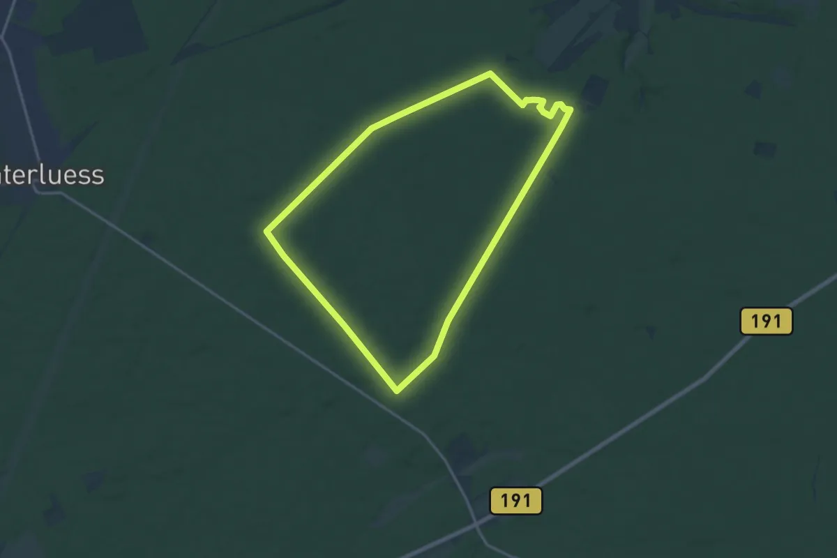
Medium · Trail
Südheide 'Wo die Wölfe ihre Fährten ziehen' W9l (lange Tour)
12.6 km · ↑ 39 m · 3 h 14 min
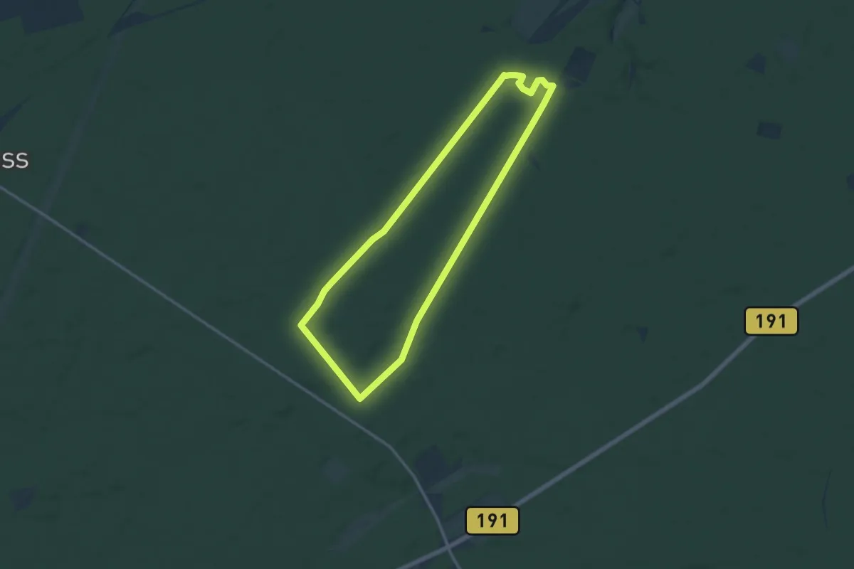
Medium · Trail
Südheide 'Wo die Wölfe ihre Fährten ziehen' W9m (mittlere Tour)
10.4 km · ↑ 41 m · 2 h 42 min
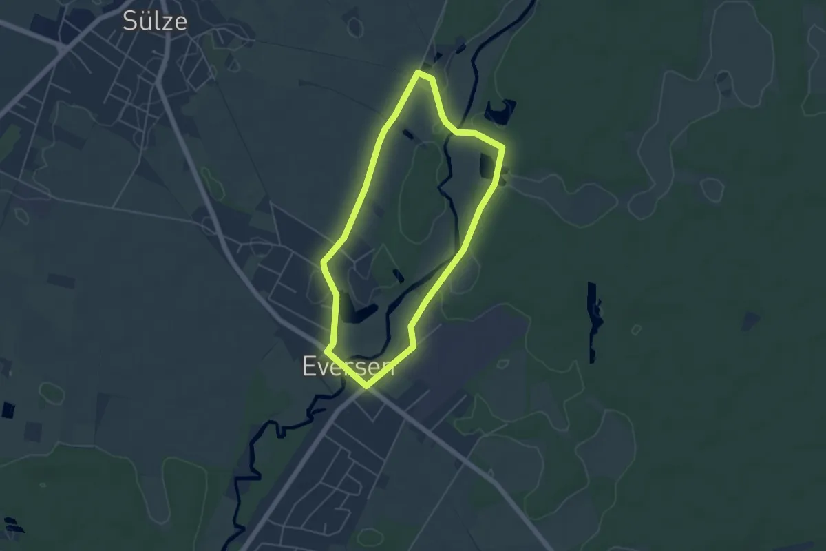
Easy · Trail
Südheide 'Wo Eisvogel und Fischotter sich "Gute Nacht" sagen' W15k (kurz Tour)
3.9 km · ↑ 5 m · 59 min
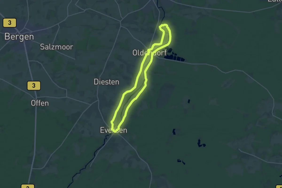
Medium · Trail
Südheide 'Wo Eisvogel und Fischotter sich "Gute Nacht" sagen' W15l (lange Tour)
17.0 km · ↑ 58 m · 4 h 23 min
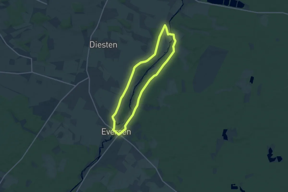
Medium · Trail
Südheide 'Wo Eisvogel und Fischotter sich "Gute Nacht" sagen' W15m (mittlere Tour)
9.3 km · ↑ 27 m · 2 h 23 min
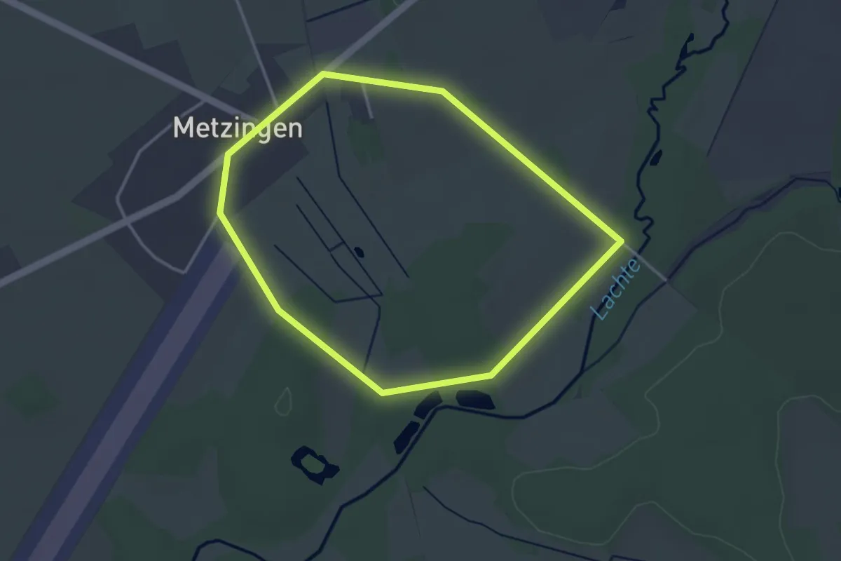
Easy · Trail
Südheide 'Wo Jafelbach und Lachte sich küssen' W22k (kurze Tour)
2.9 km · ↑ 8 m · 44 min
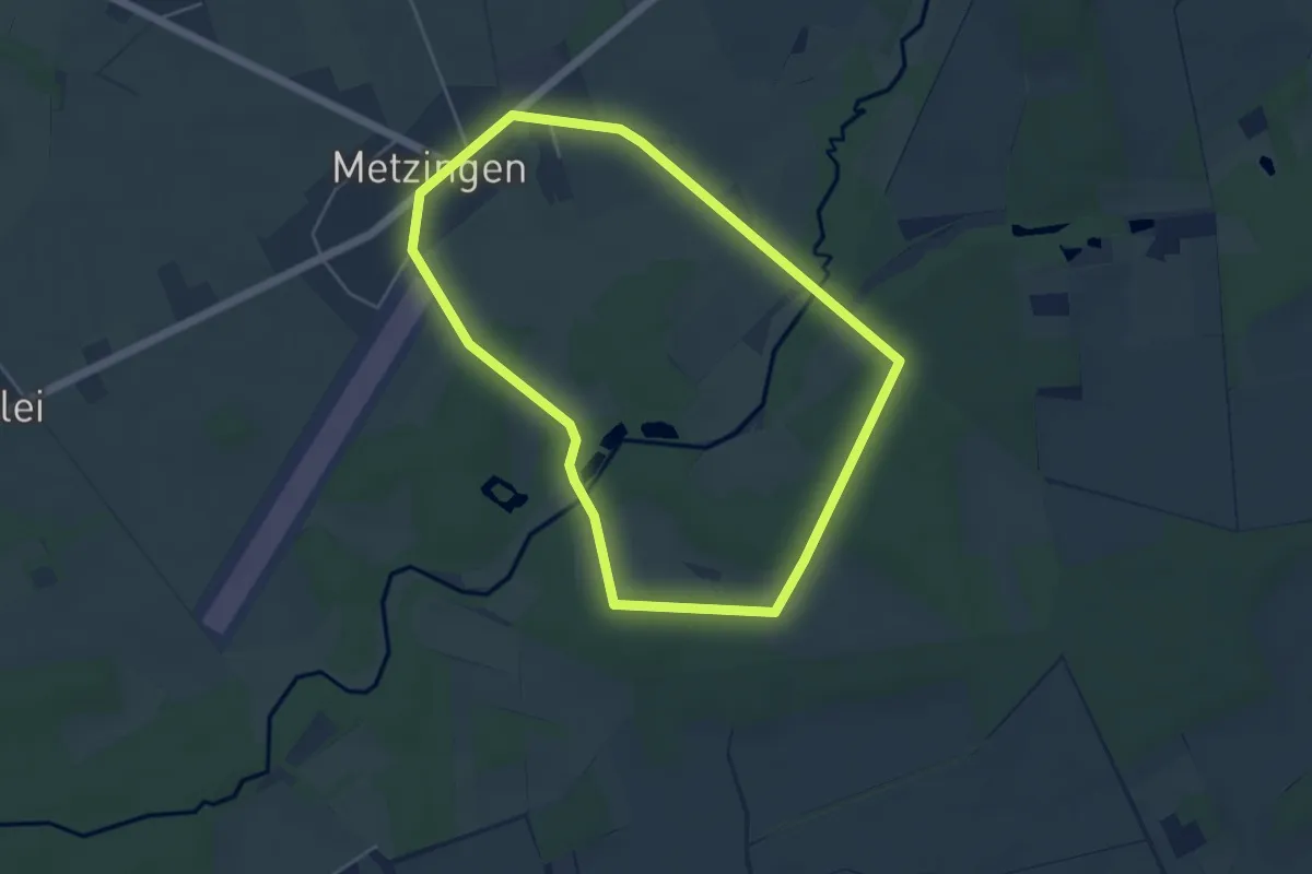
Easy · Trail
Südheide 'Wo Jafelbach und Lachte sich küssen' W22m (mittlere Tour)
4.2 km · ↑ 9 m · 1 h 3 min
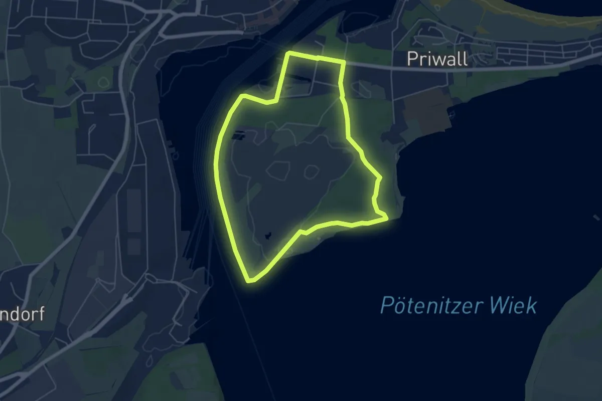
Easy · Trail
Südlicher Priwall
4.6 km · ↑ 16 m · 1 h 11 min
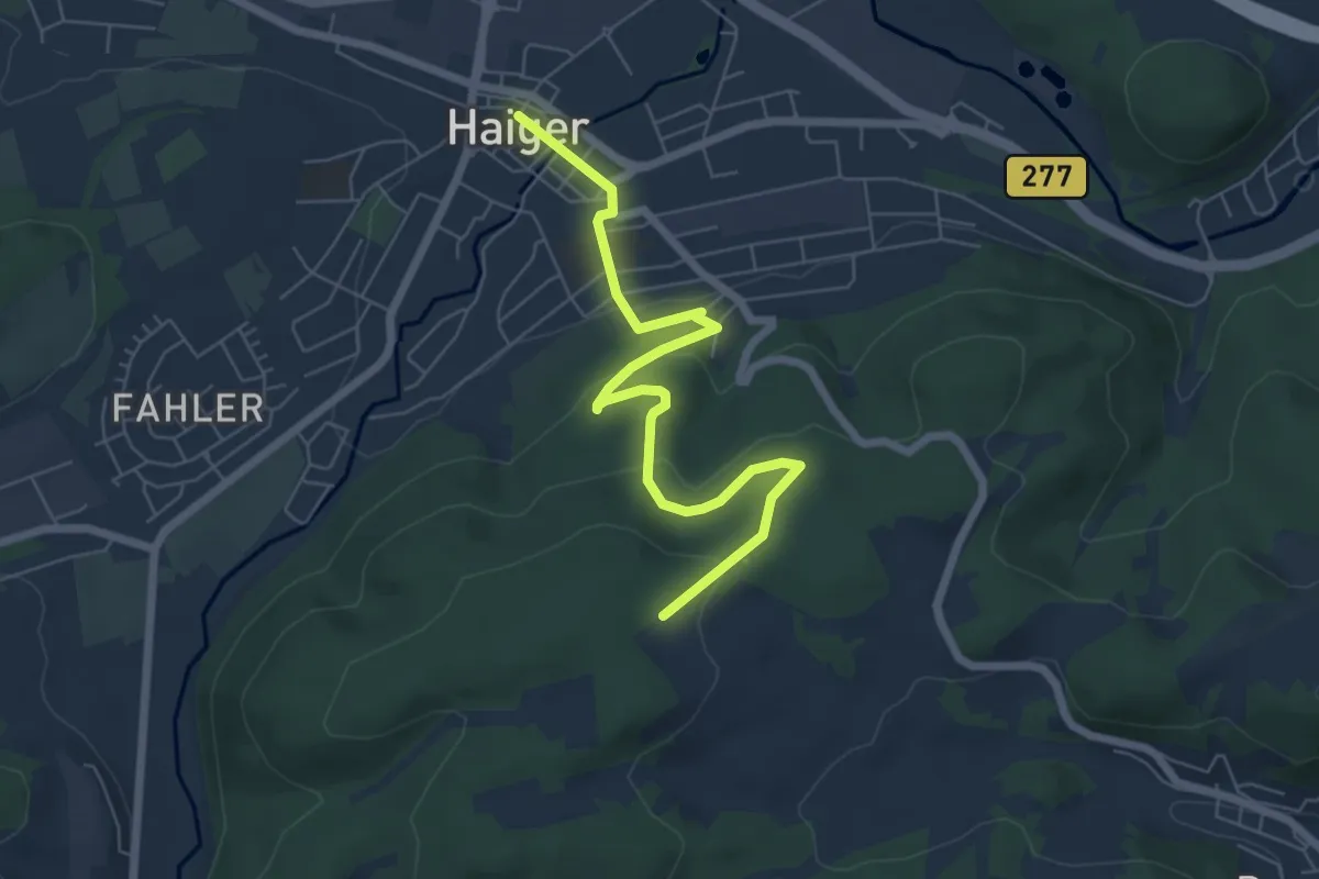
Easy · Trail
südlicher Rothaarsteig-Zuweg Haiger
6.3 km · ↑ 193 m · 1 h 54 min
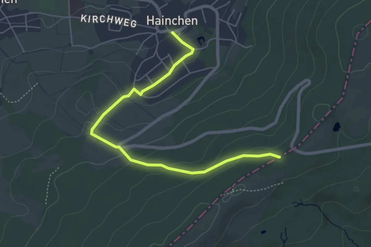
Easy · Trail
südlicher Rothaarsteig-Zuweg Hainchen
4.7 km · ↑ 167 m · 1 h 29 min
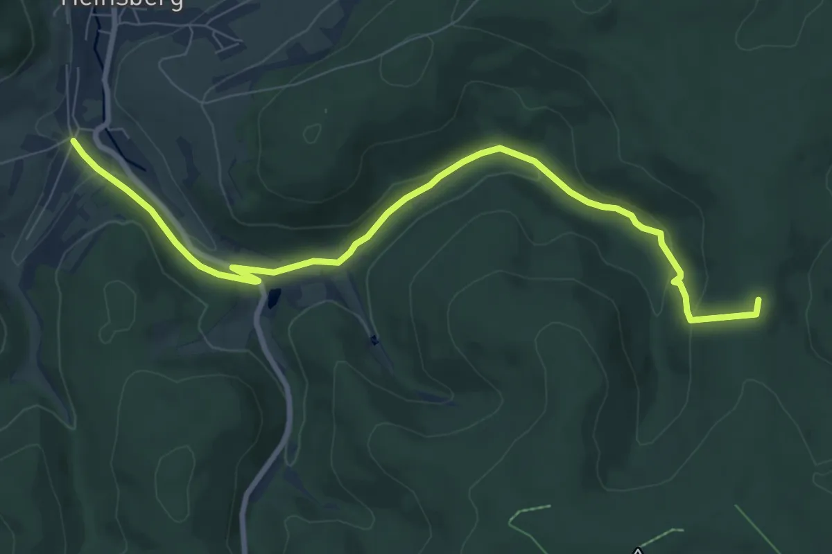
Demanding · Trail
südlicher Rothaarsteig-Zuweg Heinsberg
8.2 km · ↑ 228 m · 2 h 26 min
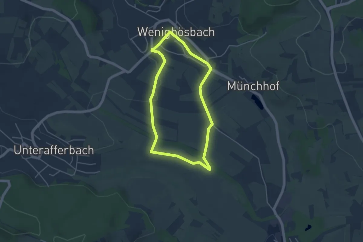
Easy · Trail
Südlicher Rundweg
3.2 km · ↑ 32 m · 52 min
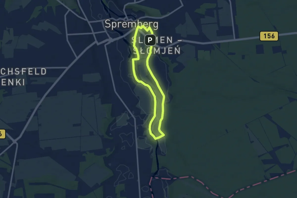
Easy · Trail
Südliche Spreeaue Rundwanderweg.
5.9 km · ↑ 13 m · 1 h 30 min
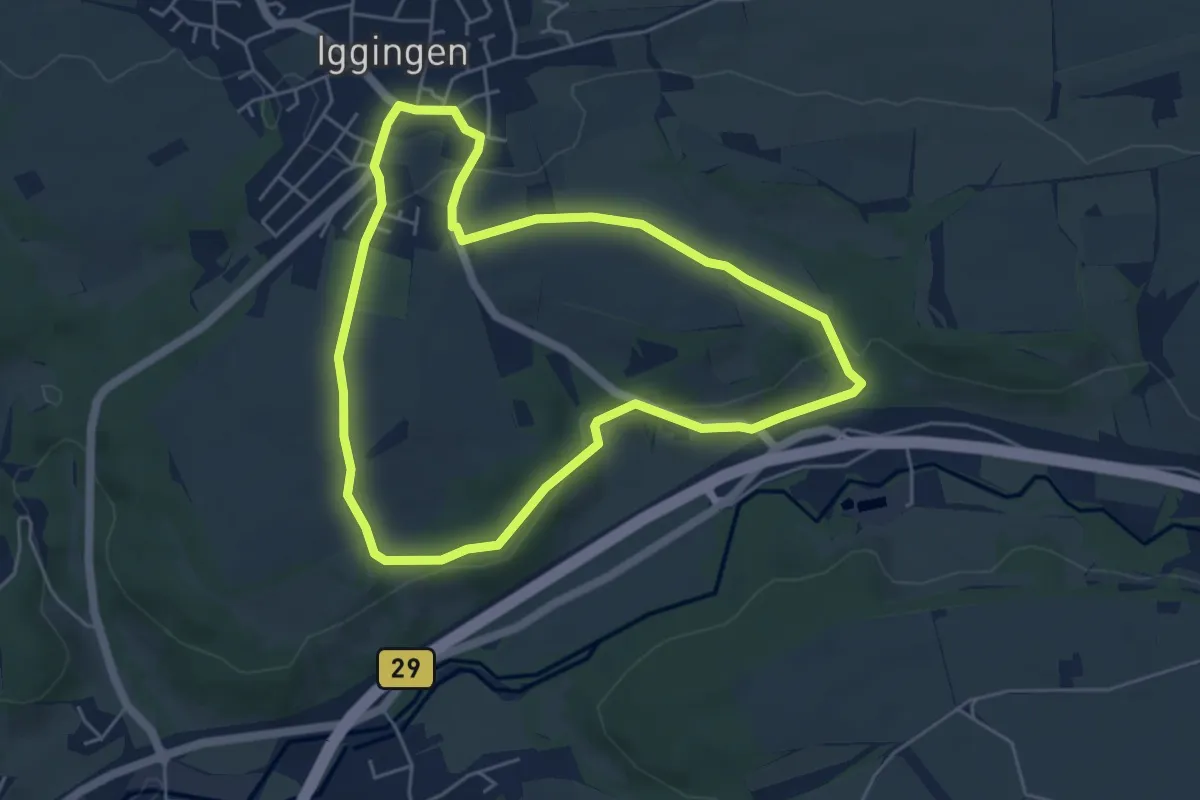
Easy · Trail
Südlich von Iggingen mit Limesabschnitt
4.7 km · ↑ 90 m · 1 h 23 min
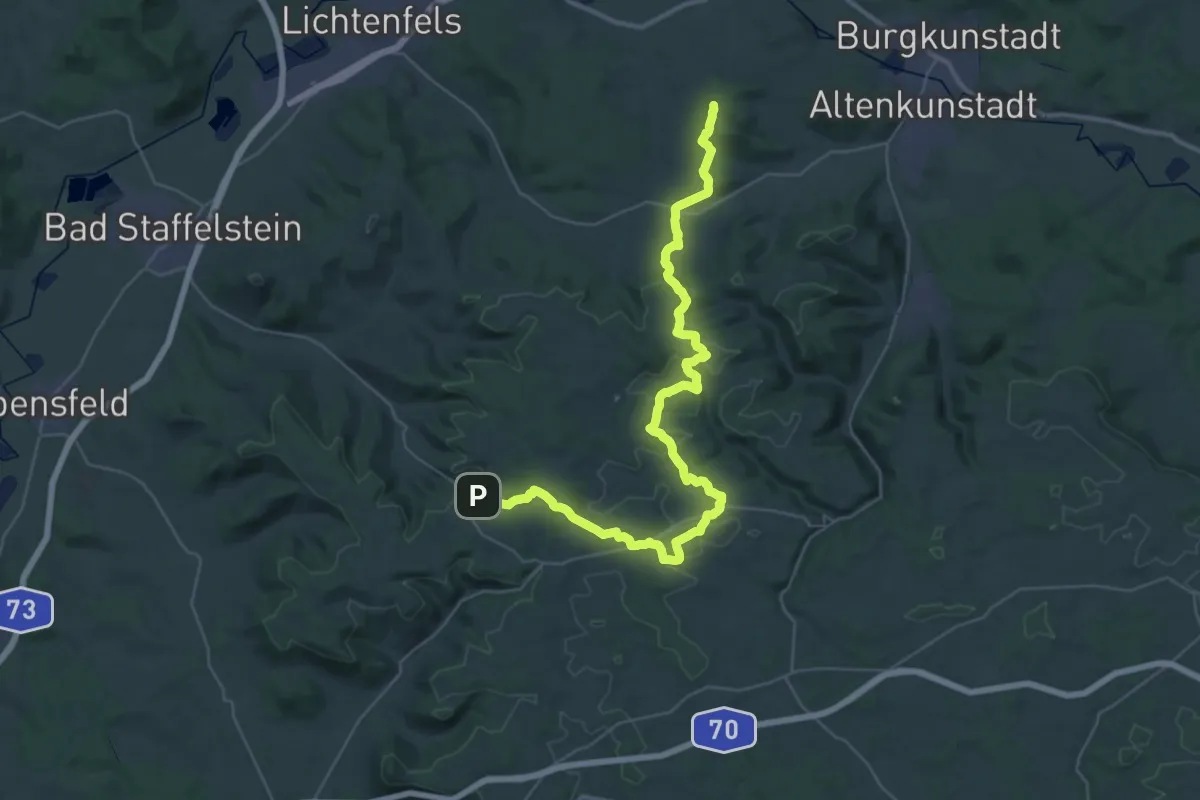
Demanding · Summit
Süd-Ost Querweg
42.5 km · ↑ 757 m · 11 h 41 min
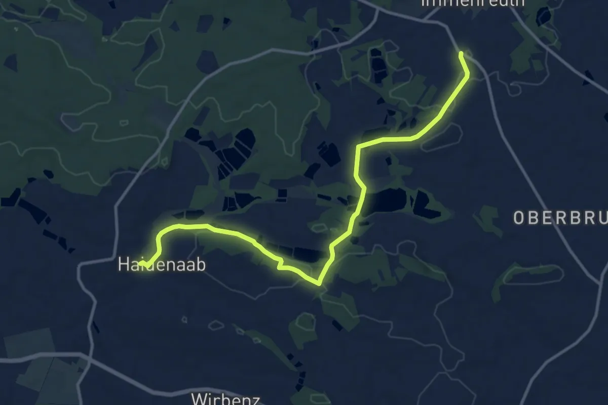
Medium · Trail
Südrandweg Fichtelgebirge (Bocksleitenweg)
11.0 km · ↑ 102 m · 2 h 49 min
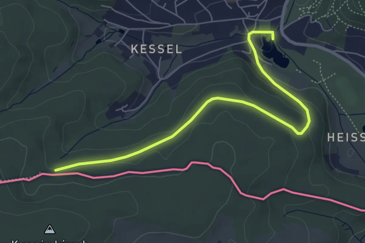
Easy · Trail
Südring
5.4 km · ↑ 118 m · 1 h 32 min
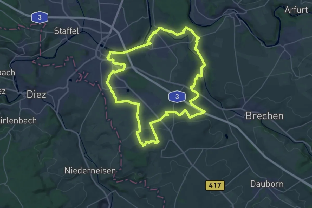
Demanding · Summit
Südroute Limburg
24.4 km · ↑ 262 m · 6 h 41 min
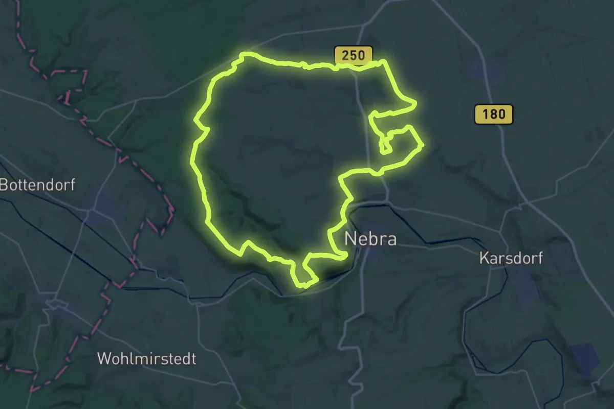
Demanding · Summit
Südschleife Querfurter Acht
37.6 km · ↑ 577 m · 10 h 39 min
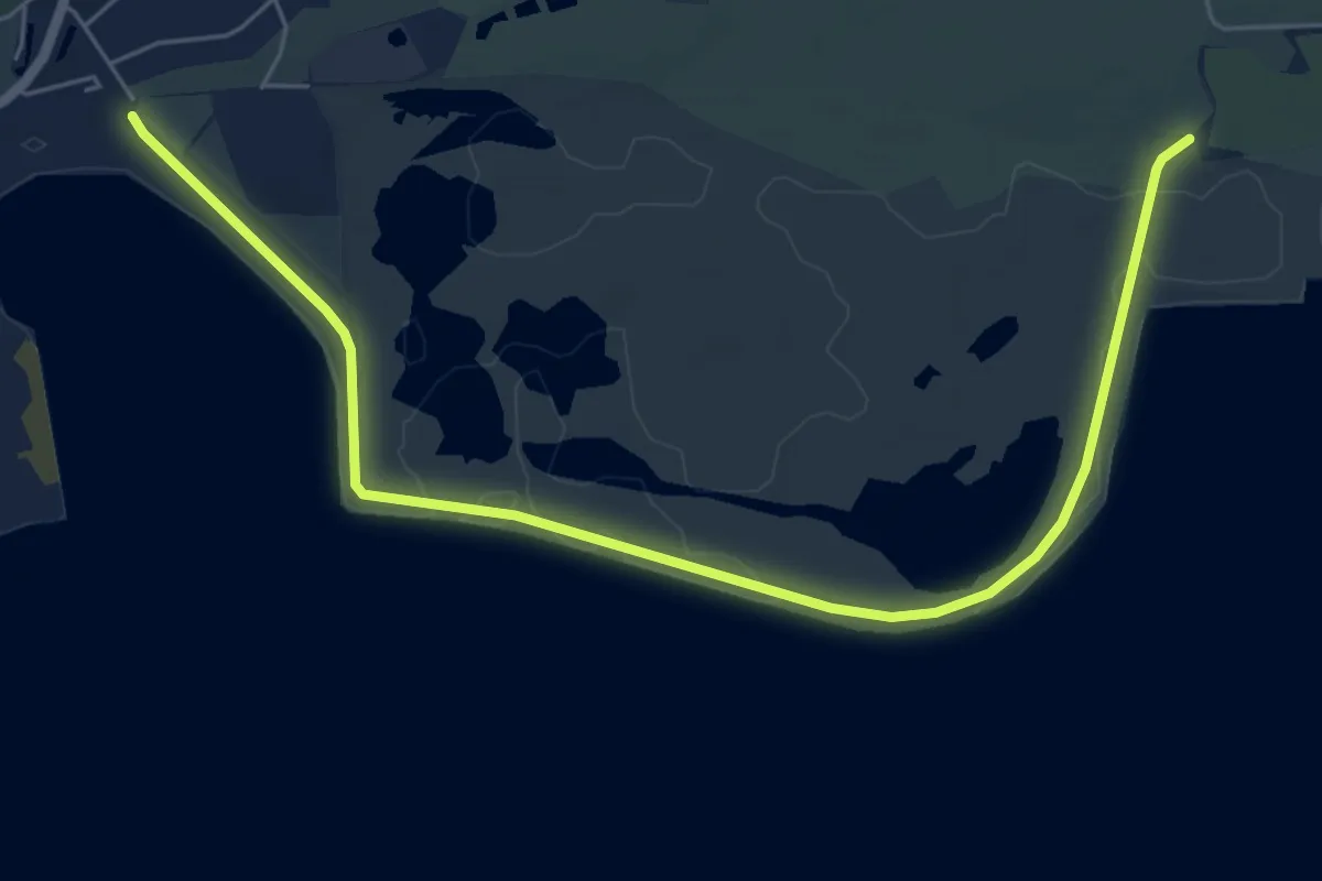
Easy · Trail
Südstrandpolderrunde
3.2 km · ↑ 0 m · 48 min
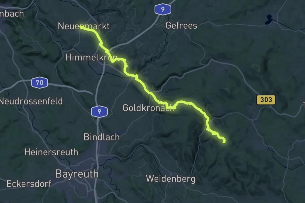
Demanding · Summit
Südweg
56.2 km · ↑ 1448 m · 16 h 24 min