Trails in Germany
36,852 hiking trails, each with its route, climb, walking time and grade.
All trails, page 618 of 768
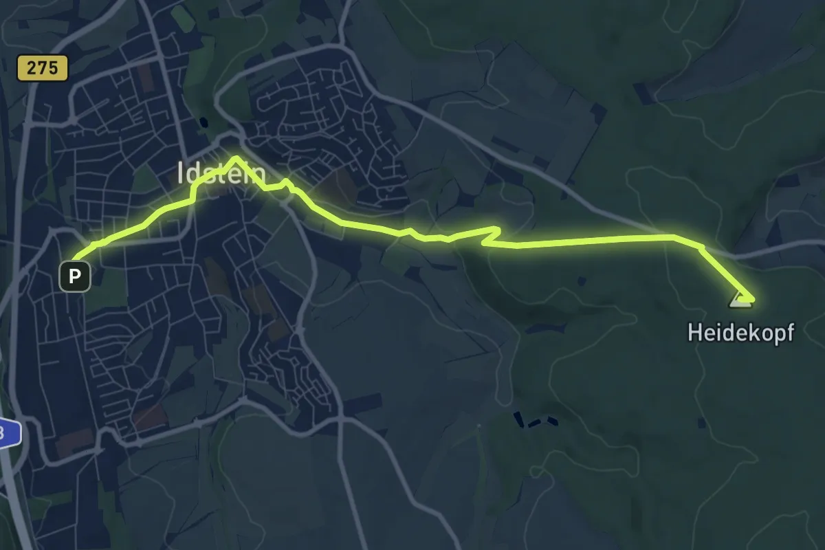
Medium · Summit
Taunusklub Route 101
9.6 km · ↑ 178 m · 2 h 40 min
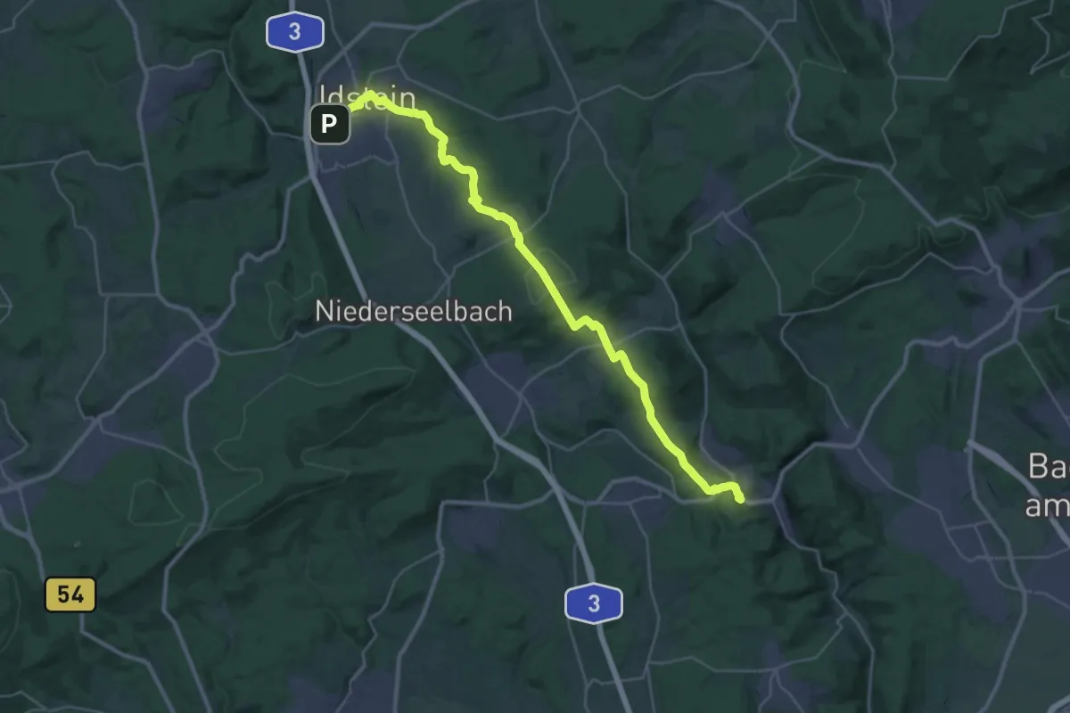
Medium · Trail
Taunusklub Route 102
15.8 km · ↑ 340 m · 4 h 44 min
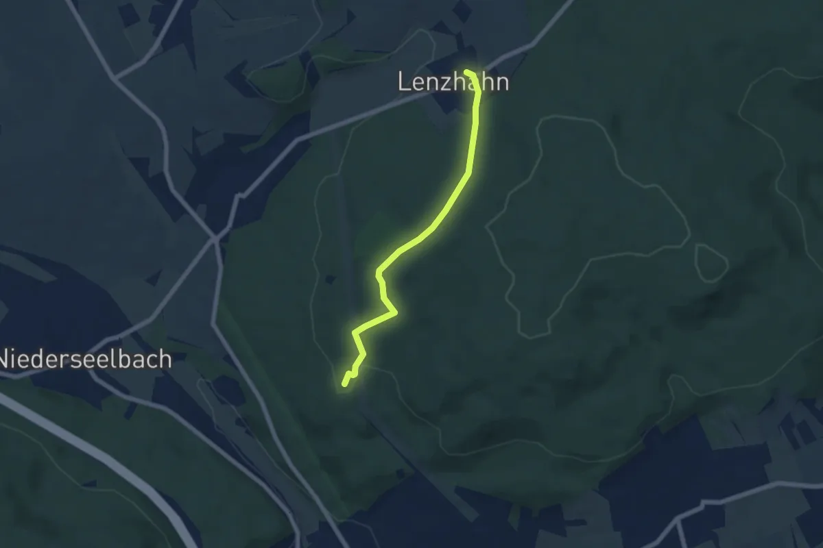
Easy · Summit
Taunusklub Route 103
4.7 km · ↑ 118 m · 1 h 22 min
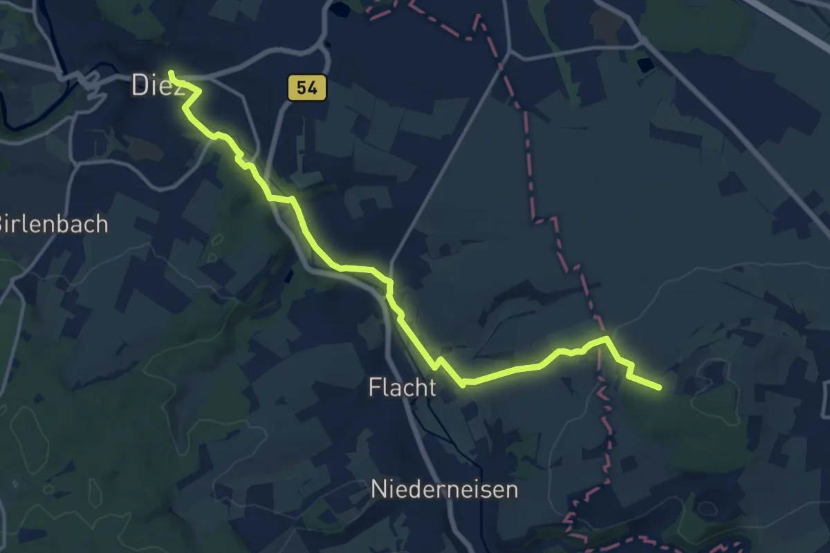
Medium · Trail
Taunusklub Route 104
14.0 km · ↑ 206 m · 3 h 45 min
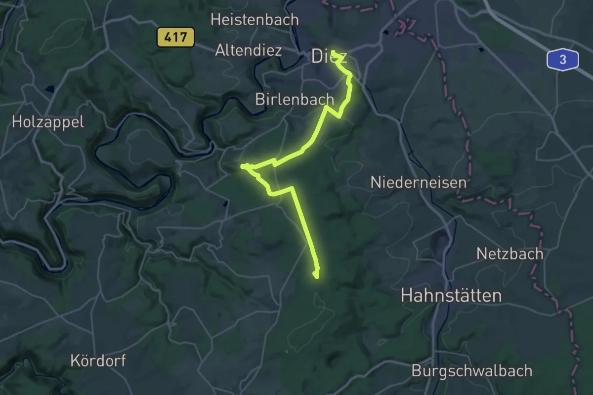
Demanding · Summit
Taunusklub Route 106
22.9 km · ↑ 452 m · 6 h 23 min
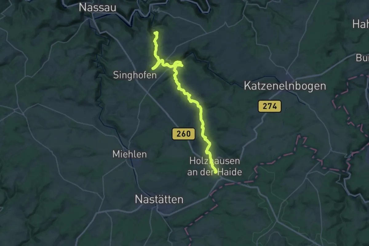
Demanding · Summit
Taunusklub Route 107
32.2 km · ↑ 827 m · 9 h 24 min
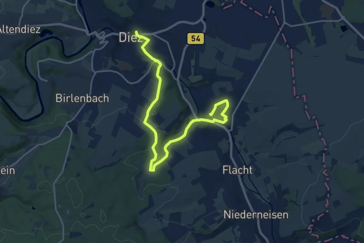
Medium · Trail
Taunusklub Route 108
14.1 km · ↑ 279 m · 3 h 56 min
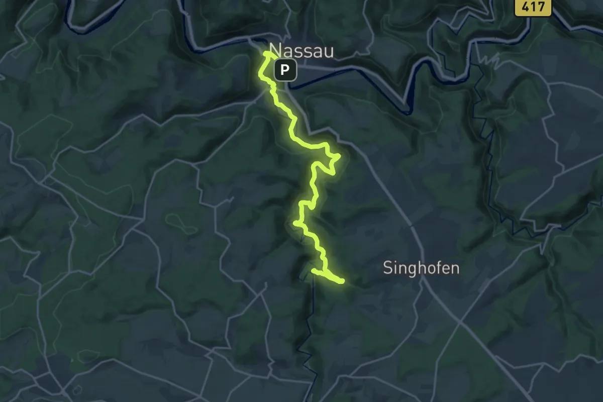
Demanding · Summit
Taunusklub Route 109
18.7 km · ↑ 454 m · 5 h 24 min
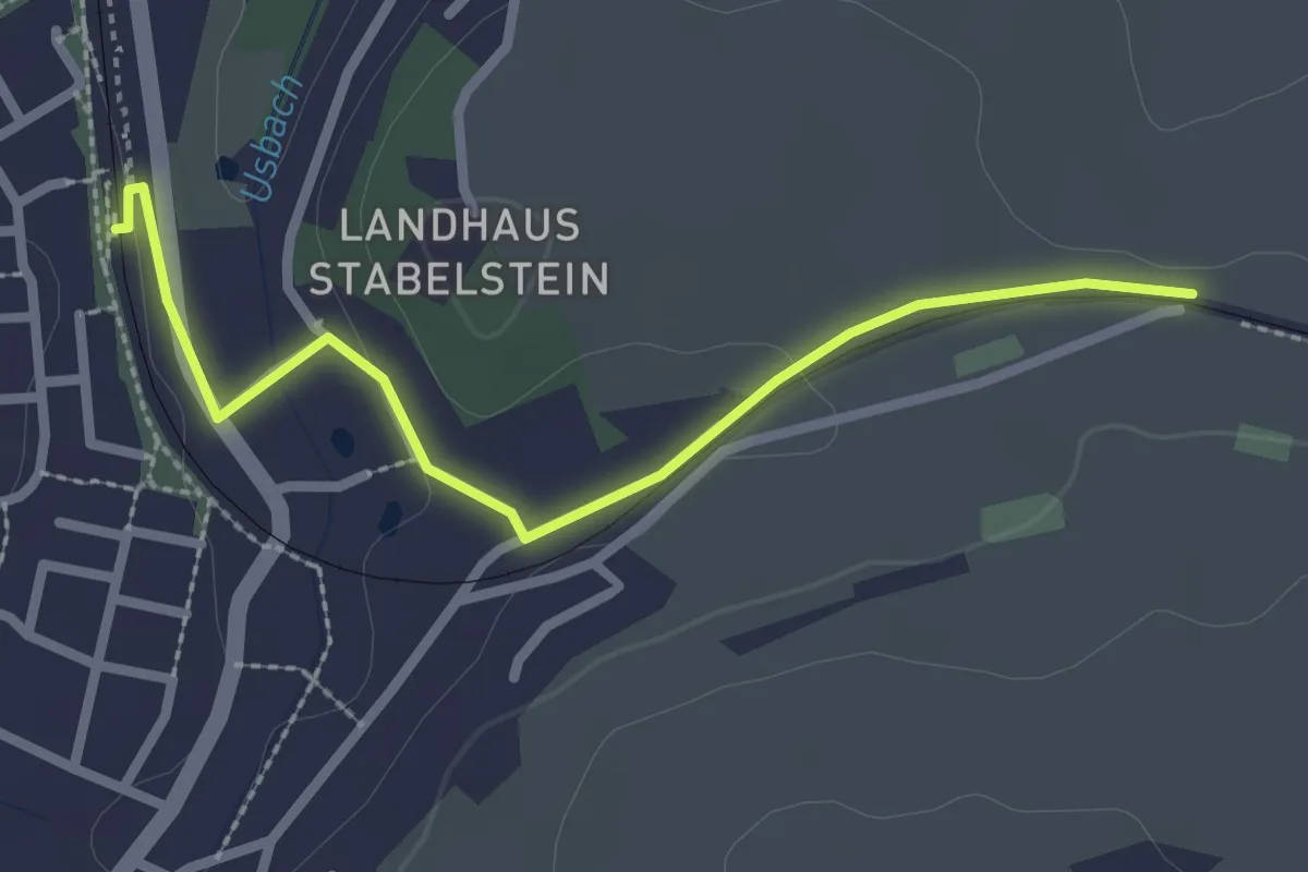
Easy · Trail
Taunusklub Route RMV1 Zubringer
2.4 km · ↑ 13 m · 36 min
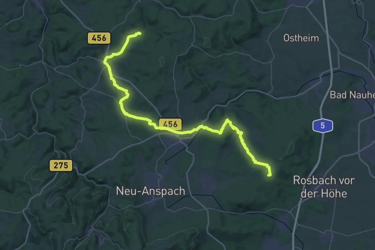
Demanding · Summit
Taunusklub Route RMV2
52.8 km · ↑ 1062 m · 14 h 46 min
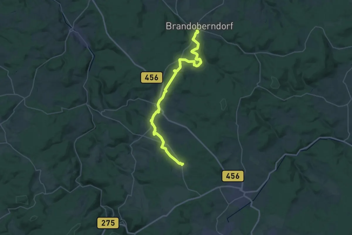
Medium · Trail
Taunusklub Route RMV3
14.9 km · ↑ 228 m · 4 h 18 min
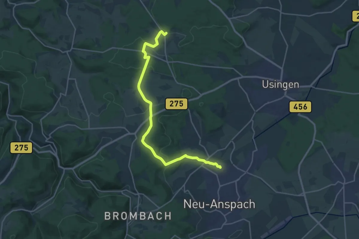
Medium · Trail
Taunusklub Route RMV4
17.1 km · ↑ 352 m · 4 h 48 min
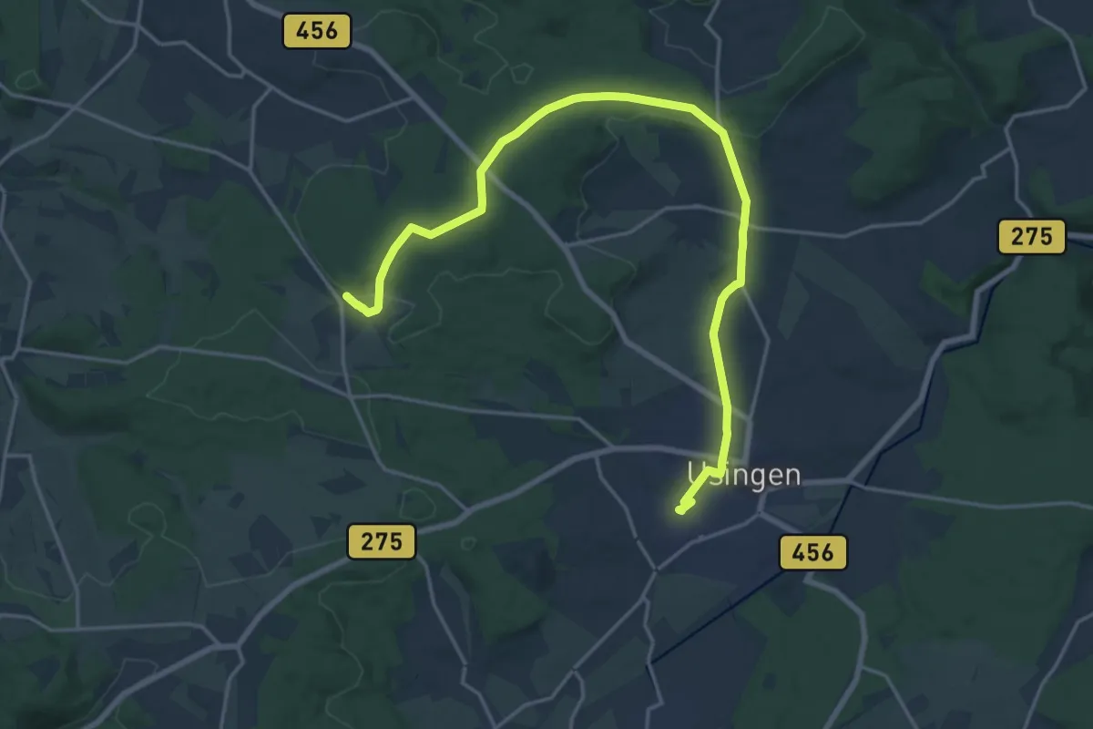
Demanding · Trail
Taunusklub Route RMV5
19.4 km · ↑ 280 m · 5 h 12 min
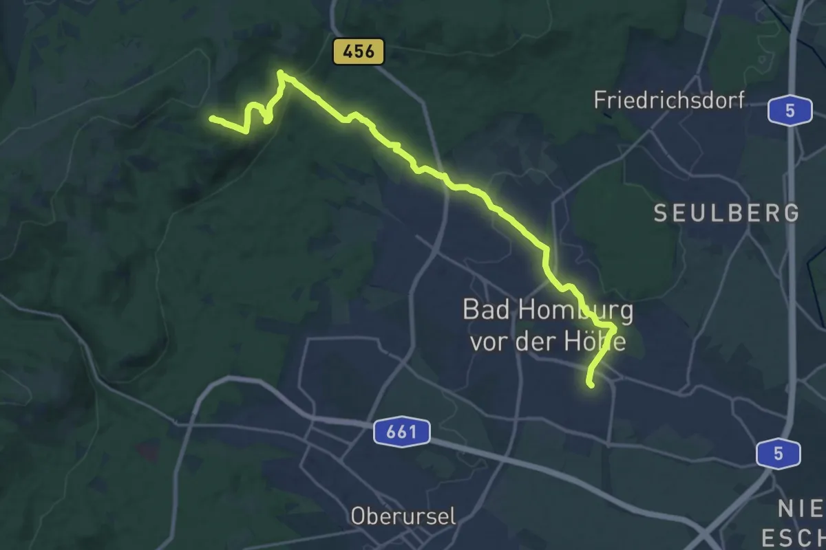
Demanding · Summit
Taunusklub Route RMV6
20.0 km · ↑ 527 m · 5 h 52 min
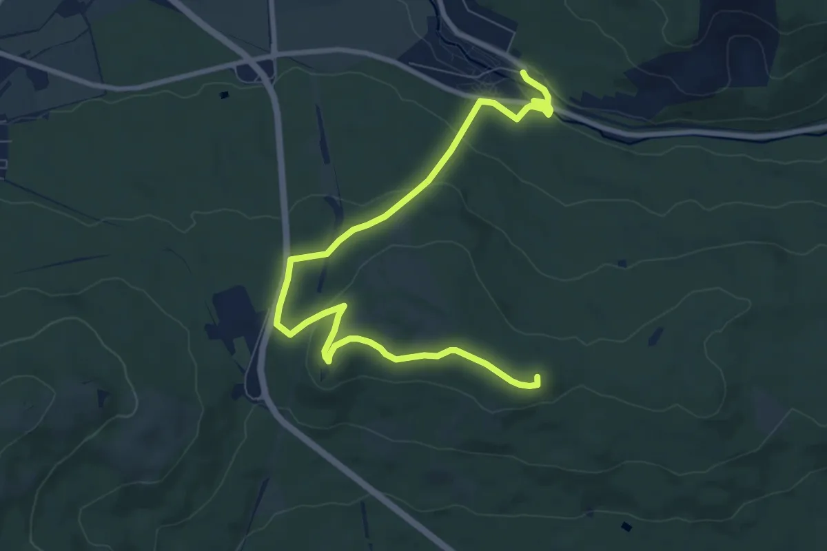
Medium · Summit
Taunusklub Route RMV7
9.2 km · ↑ 217 m · 2 h 39 min
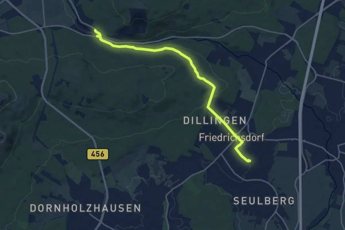
Medium · Trail
Taunusklub Route RMV8
13.0 km · ↑ 205 m · 3 h 31 min
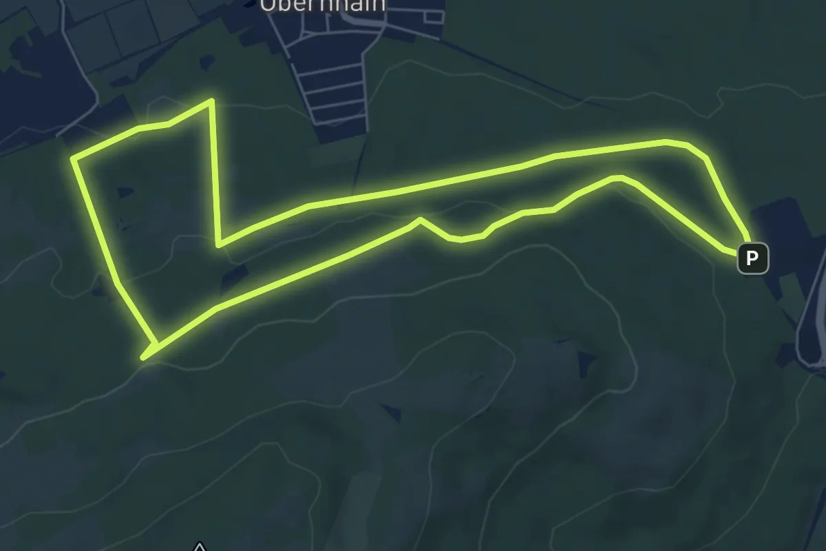
Easy · Trail
Taunus Lehrpfad Saalburg - Hessenpark
6.5 km · ↑ 140 m · 1 h 56 min
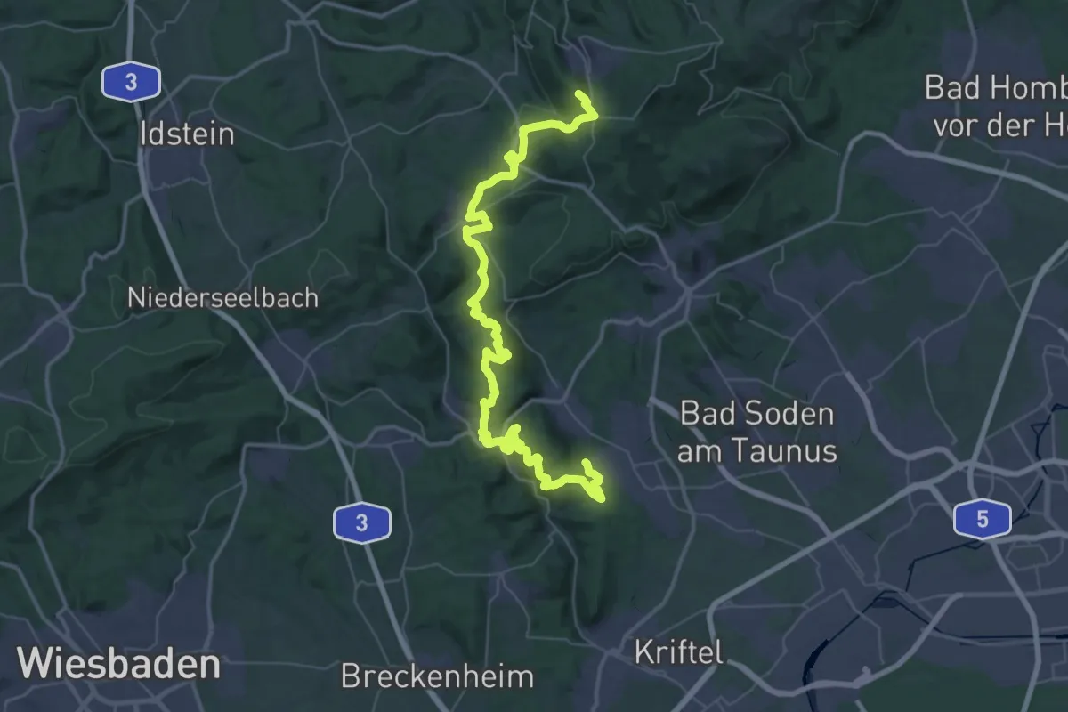
Demanding · Summit
Taunus Schinderhannes Steig
52.7 km · ↑ 1849 m · 16 h 27 min
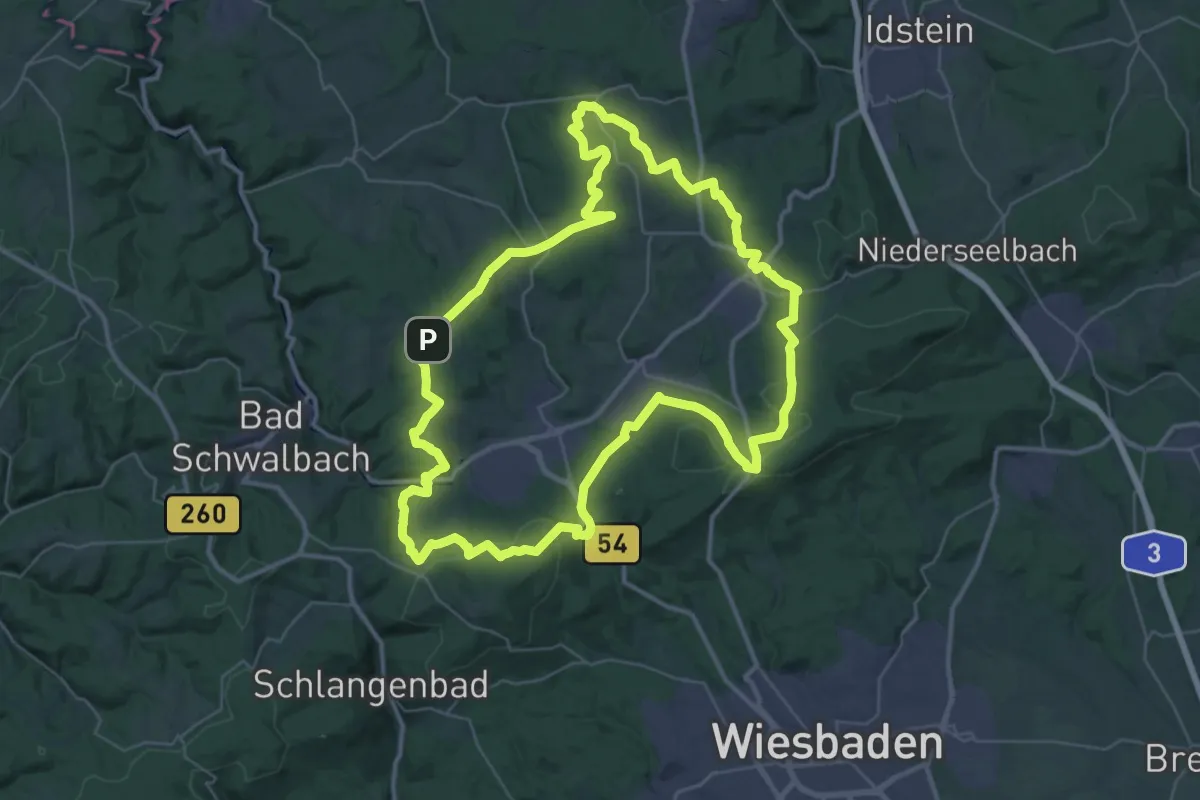
Demanding · Summit
Taunussteiner Runde
40.0 km · ↑ 882 m · 11 h 54 min
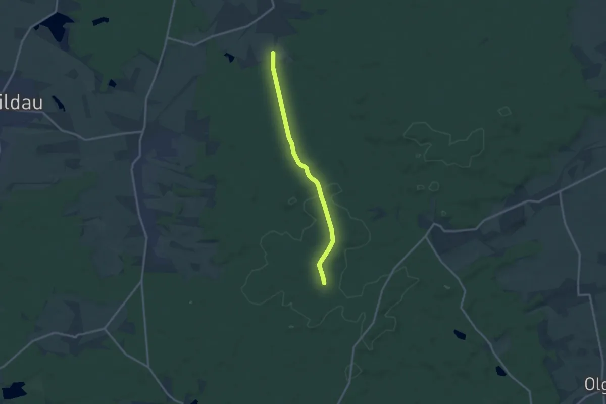
Medium · Trail
Taura-Jägereiche
9.7 km · ↑ 96 m · 2 h 30 min
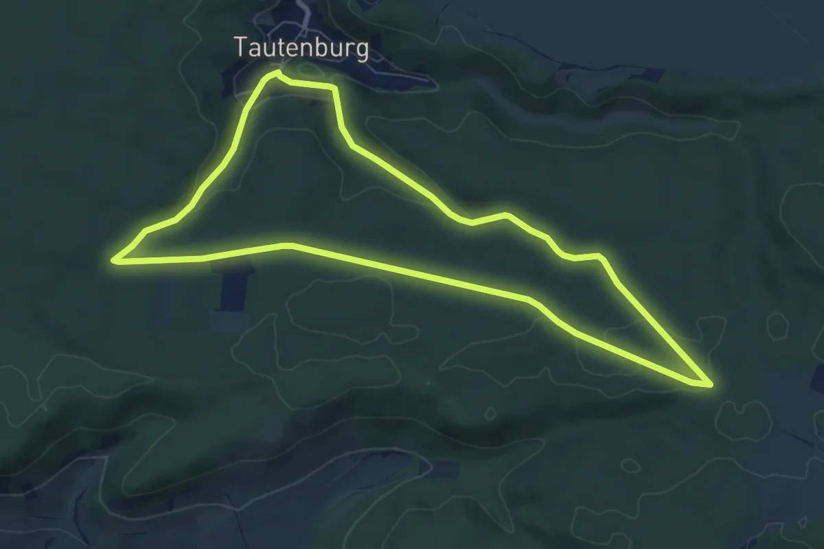
Easy · Trail
Tautenburger Planetenpfad
7.2 km · ↑ 125 m · 2 h 5 min
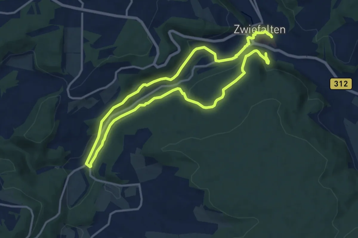
Medium · Trail
Tautschbuch-Dobel-Weg
8.0 km · ↑ 279 m · 2 h 36 min
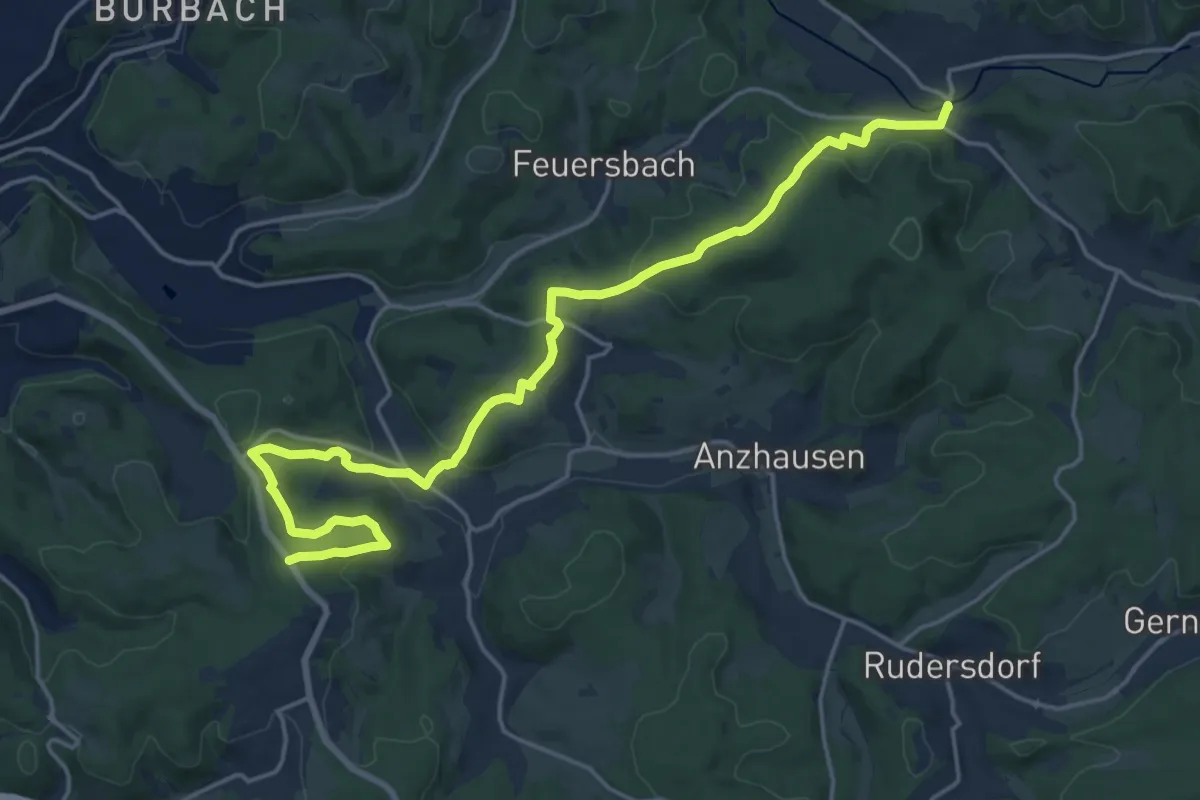
Demanding · Trail
[T] Deuz - Flammersbach - Rödgen
20.0 km · ↑ 584 m · 5 h 59 min
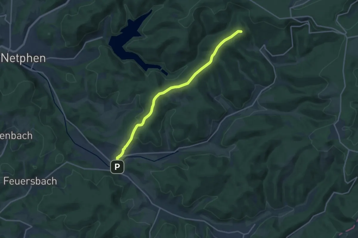
Medium · Summit
[T] Deuz - Forsthaus Hohenroth
12.5 km · ↑ 300 m · 3 h 35 min
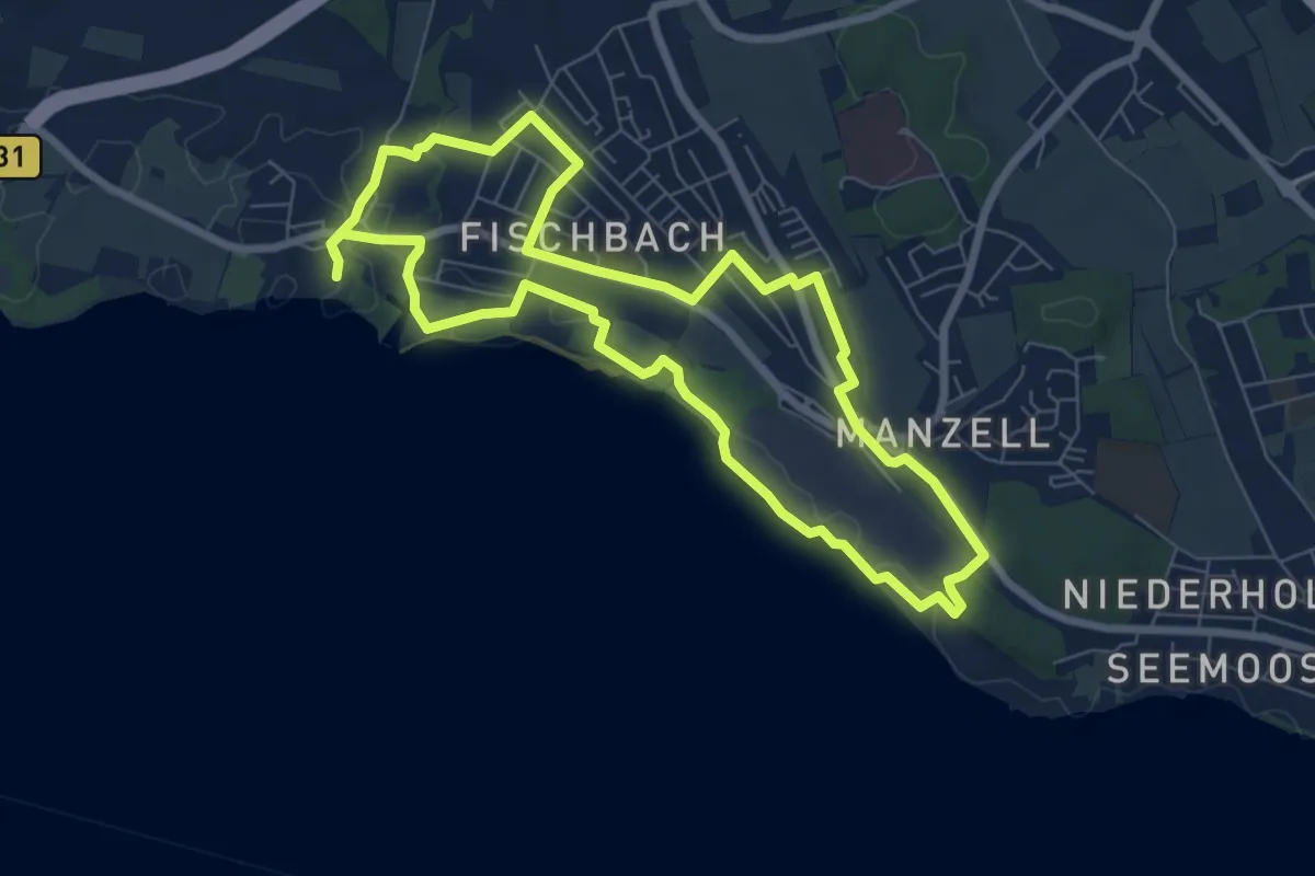
Easy · Trail
Technisch-historischer Rundweg
7.1 km · ↑ 42 m · 1 h 52 min
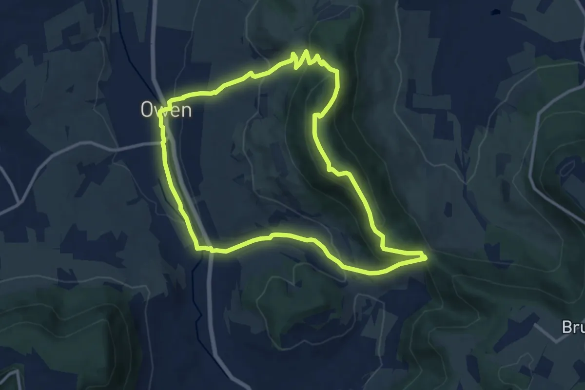
Medium · Summit
Teckrunde
8.5 km · ↑ 388 m · 2 h 59 min
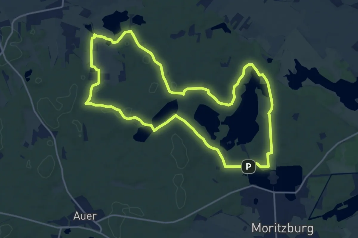
Medium · Trail
Teiche-Rundweg
12.1 km · ↑ 91 m · 3 h 14 min
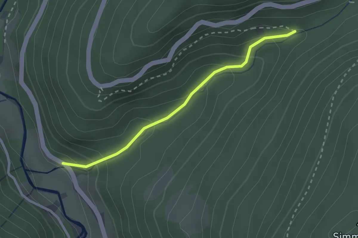
Medium · Trail
Teichschlucht - Wildgutach Pfaffmühle
2.1 km · ↑ 172 m · 52 min
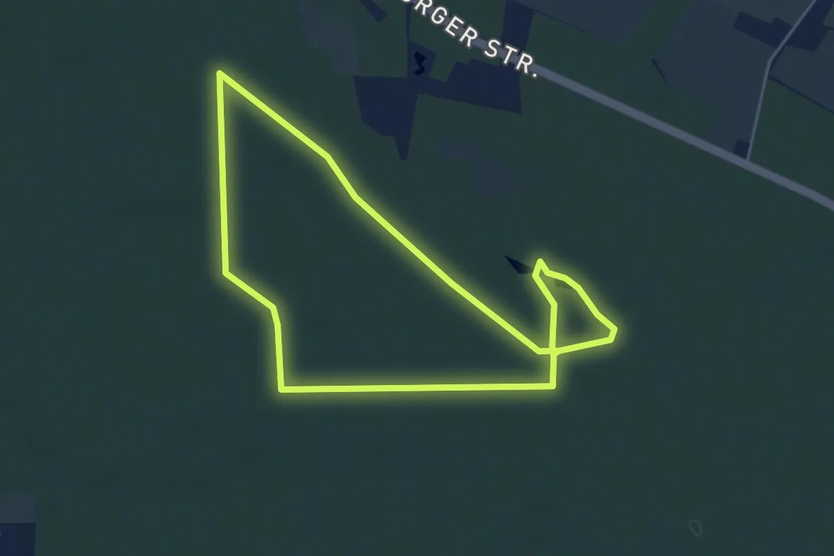
Easy · Trail
Teichweg
3.7 km · ↑ 28 m · 59 min
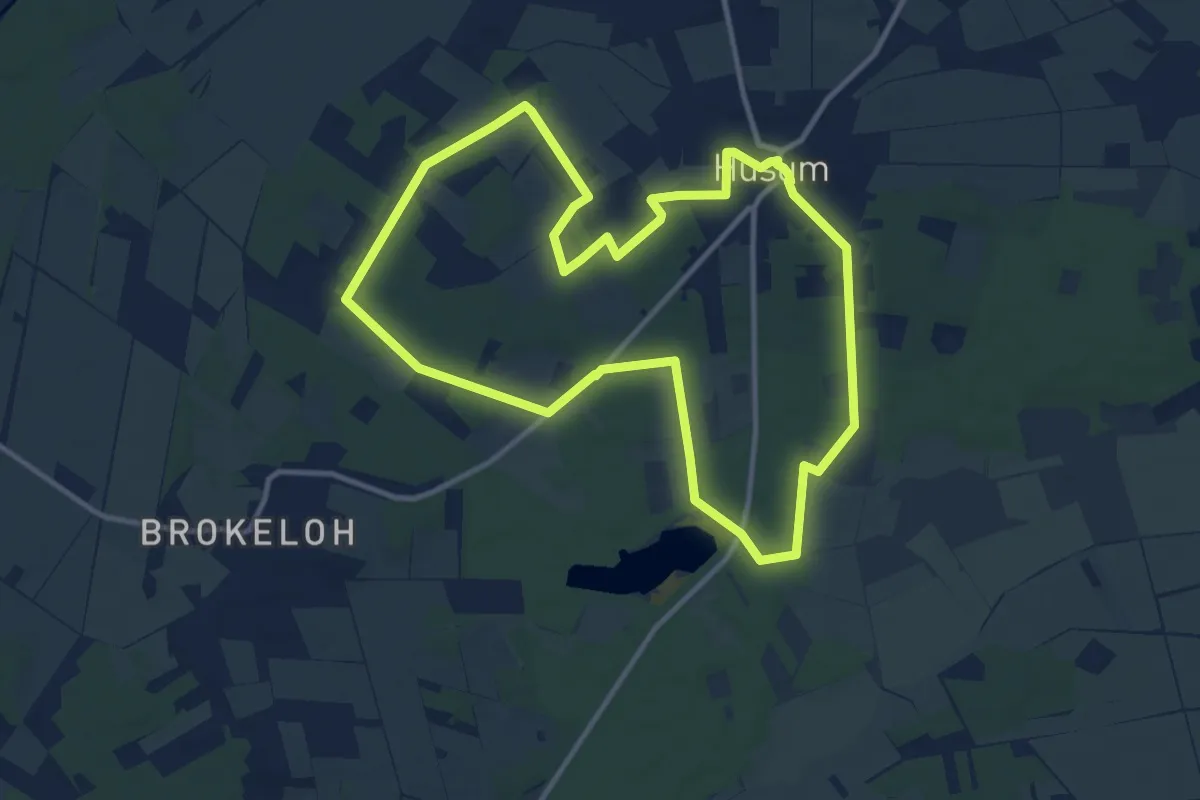
Medium · Trail
Teichweg Husum
10.4 km · ↑ 40 m · 2 h 41 min
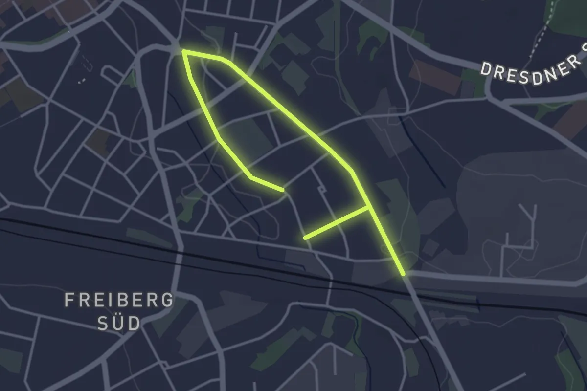
Easy · Trail
Teilrundweg "Eherne Schlange" - SAXONIA
4.5 km · ↑ 30 m · 1 h 8 min
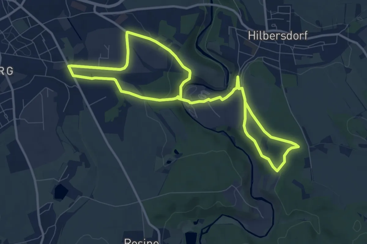
Medium · Trail
Teilrundweg "Muldenhütten - Alte Dynamit"
14.3 km · ↑ 249 m · 3 h 55 min
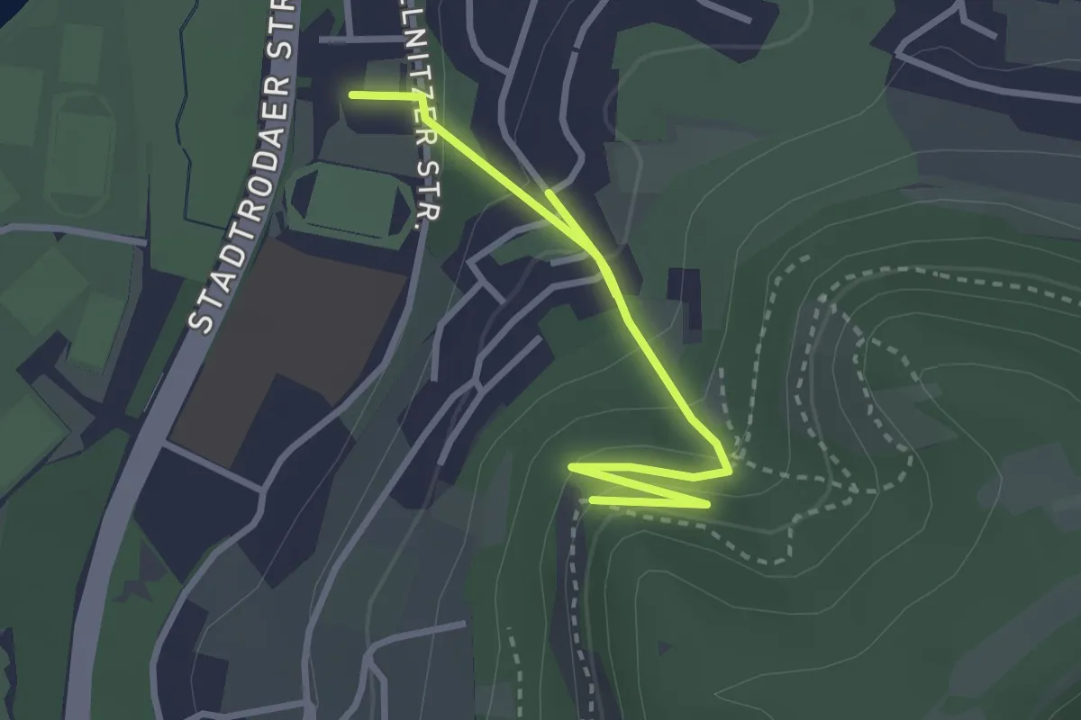
Easy · Trail
Teilstrecke der Thüringer Langstreckenwanderung links und rechts des „Mittleren Saaletals“
3.1 km · ↑ 212 m · 1 h 12 min
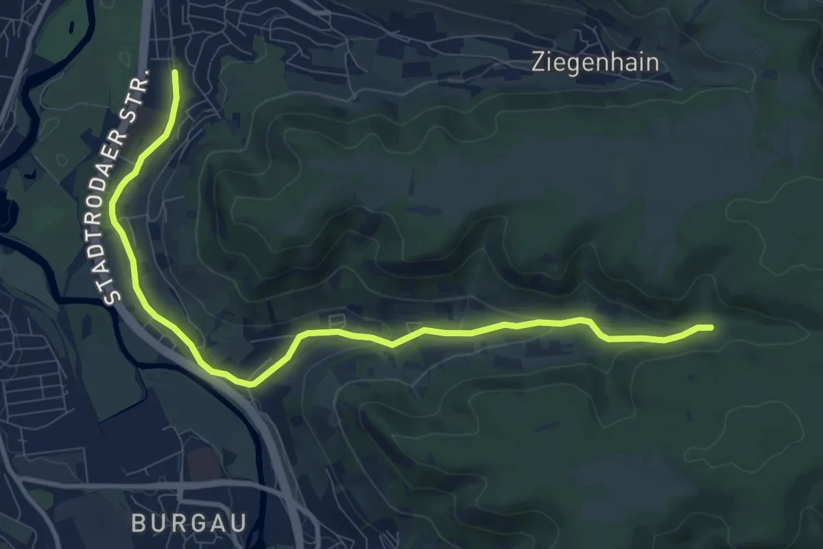
Medium · Trail
Teilstrecke der Thüringer Langstreckenwanderung links und rechts des „Mittleren Saaletals“
9.8 km · ↑ 188 m · 2 h 43 min
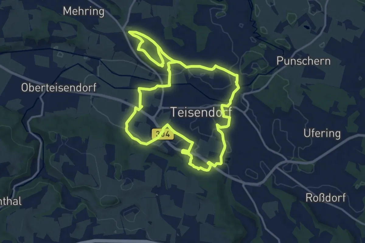
Medium · Trail
Teisendorfer Rundweg Nr. 1
10.5 km · ↑ 143 m · 2 h 57 min
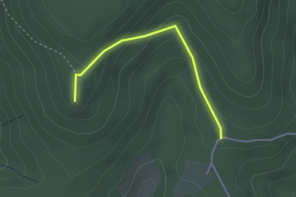
Easy · Summit
Teisenkopf - Mattenweiher
2.3 km · ↑ 130 m · 49 min
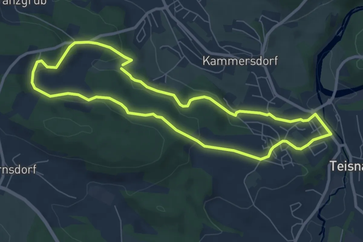
Easy · Trail
Teisnacher Holzhausrundweg
5.9 km · ↑ 190 m · 1 h 53 min
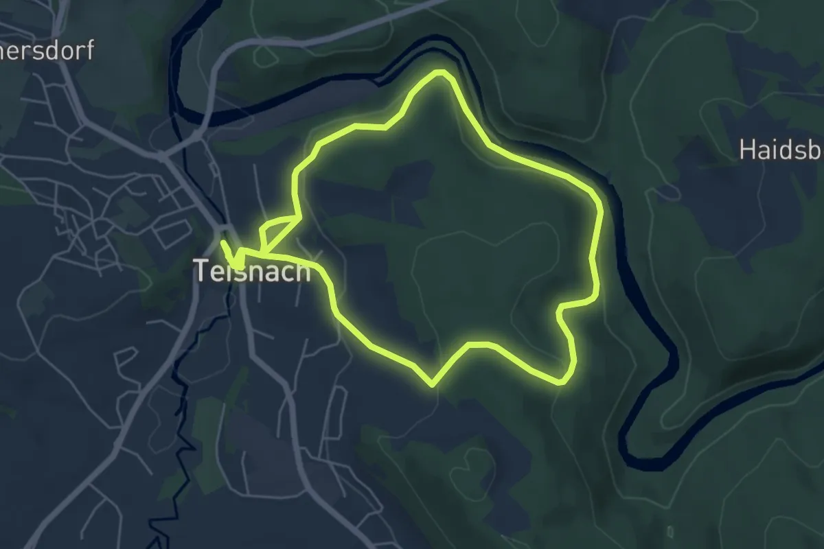
Easy · Trail
Teisnach Nr. 15 Schleusenweg
5.2 km · ↑ 199 m · 1 h 42 min
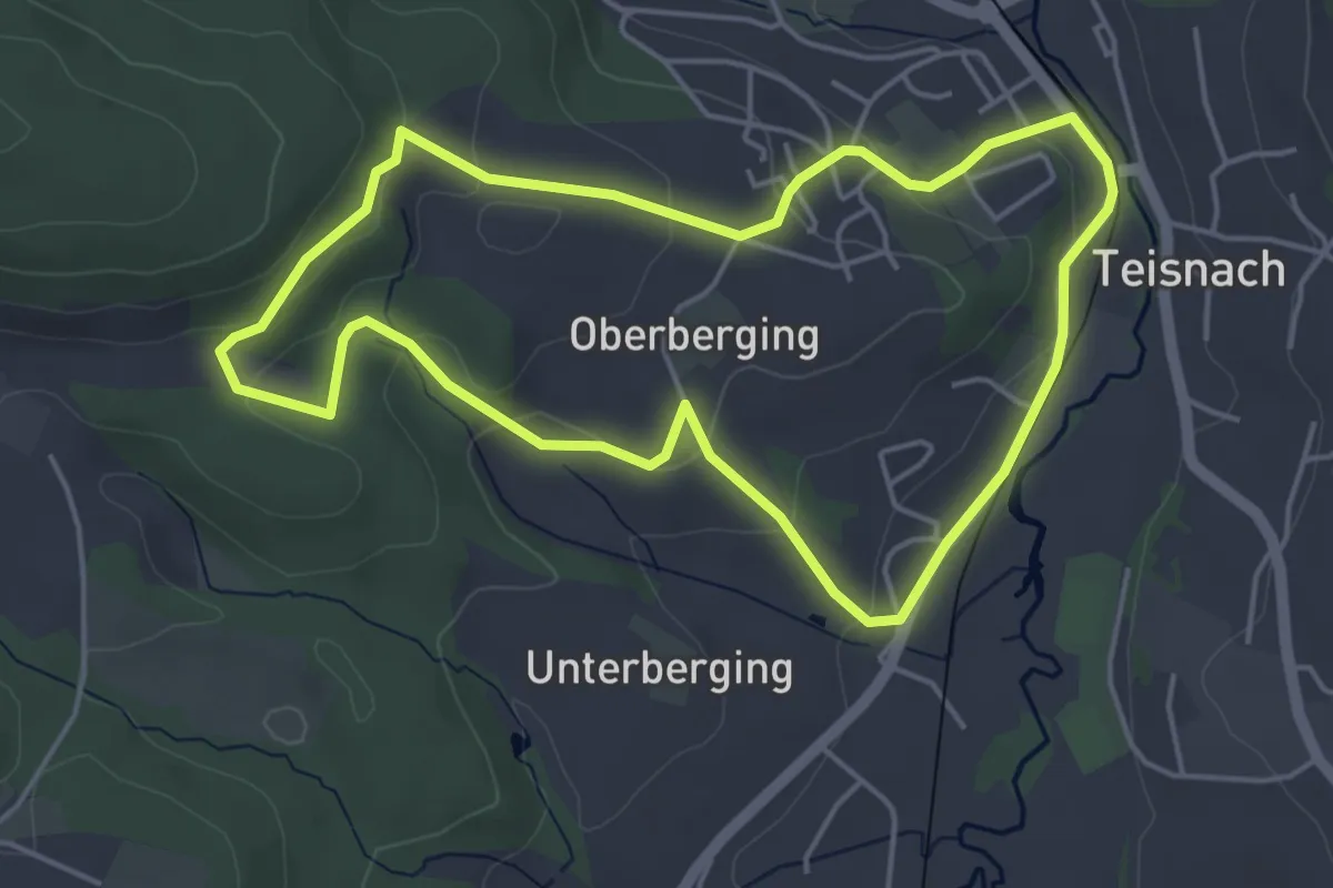
Easy · Trail
Teisnach Nr. 9 Haselbergrundweg
4.4 km · ↑ 121 m · 1 h 22 min
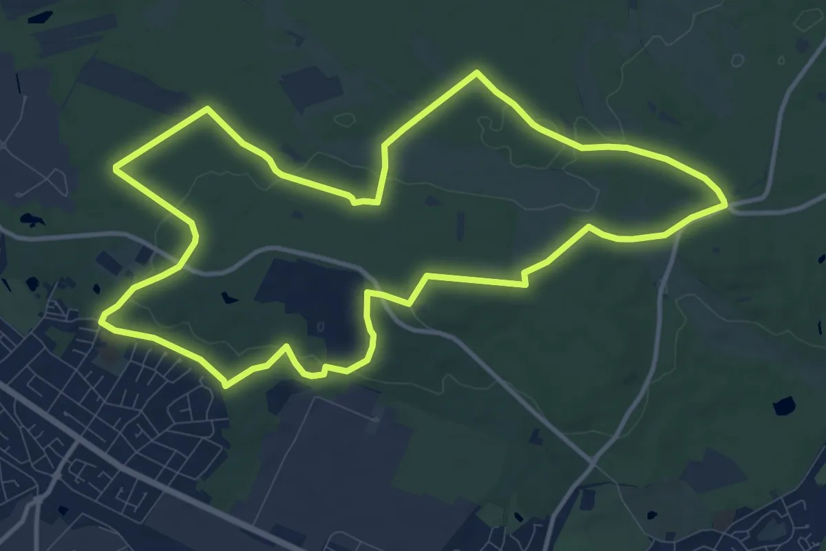
Medium · Summit
Telegraphenberg-Tour
10.5 km · ↑ 105 m · 2 h 51 min
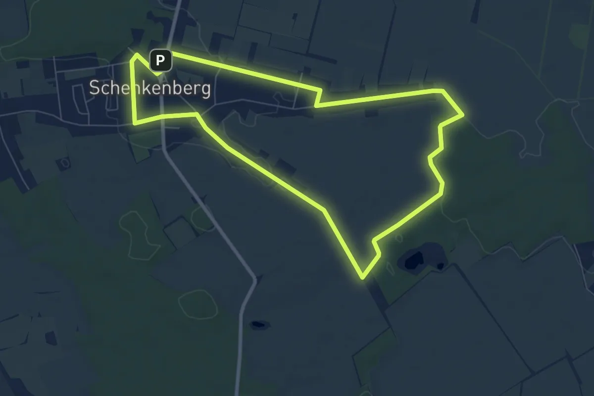
Easy · Summit
Telegraphenrundweg
6.7 km · ↑ 17 m · 1 h 43 min
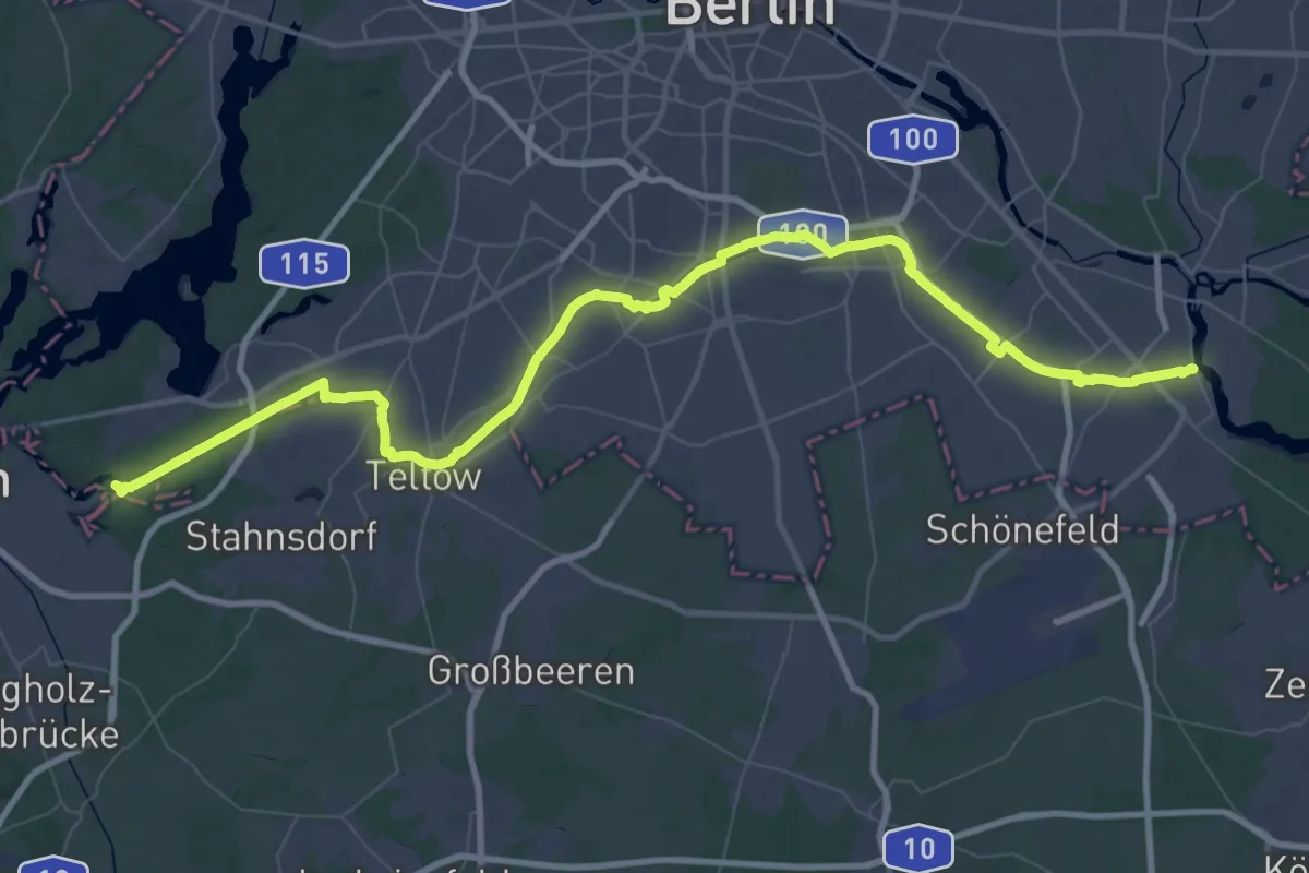
Demanding · Trail
Teltowkanalweg
38.7 km · ↑ 76 m · 9 h 51 min
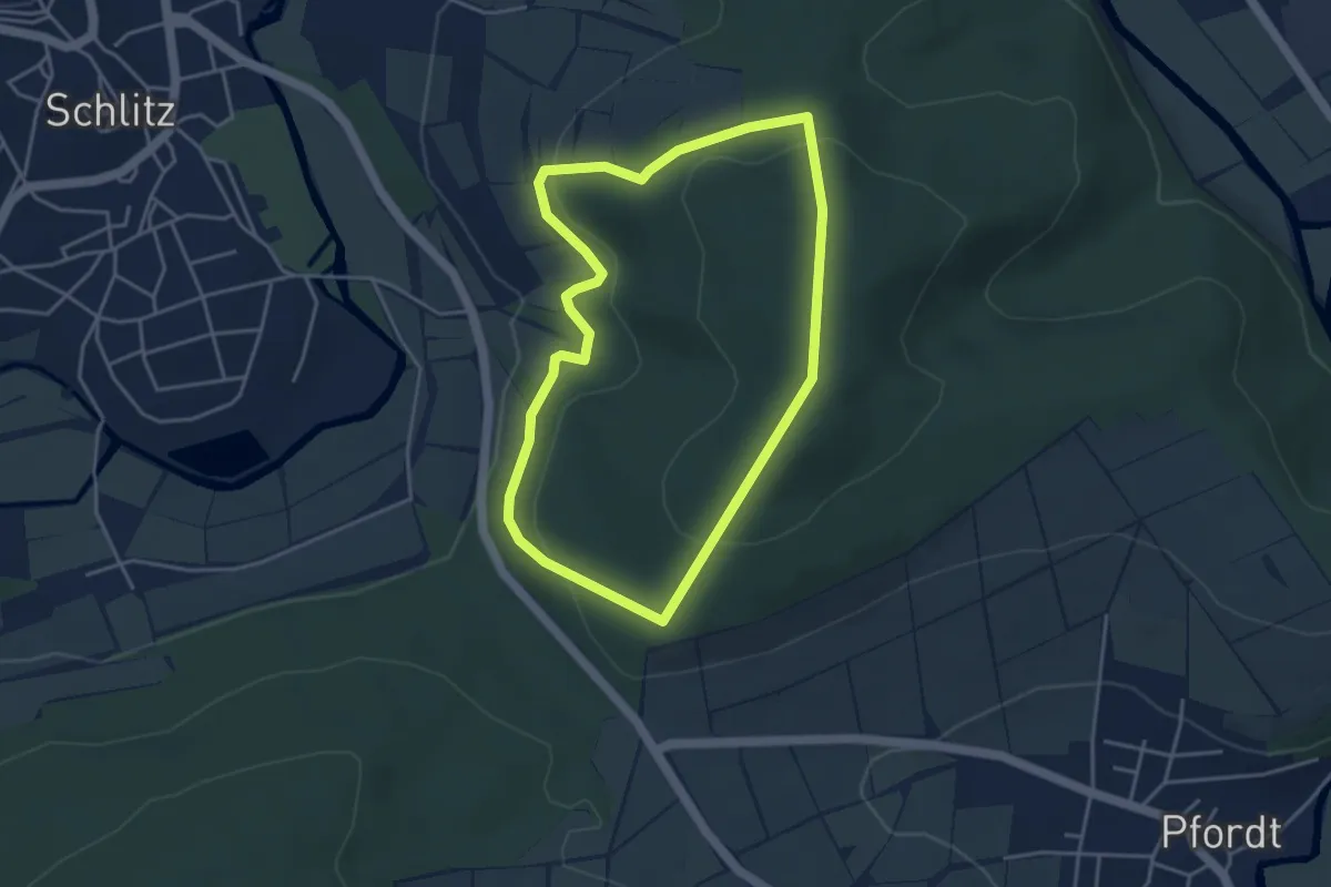
Easy · Summit
Tempelberg Rundweg
3.6 km · ↑ 132 m · 1 h 10 min
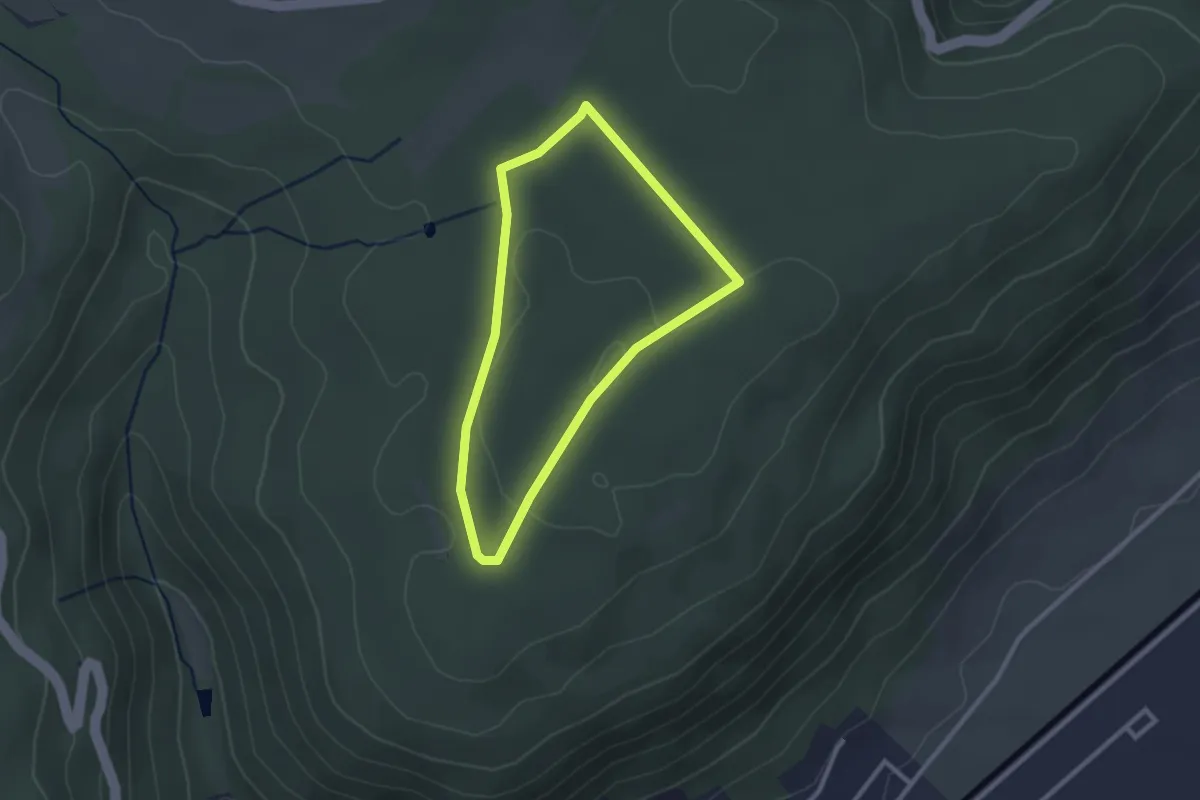
Easy · Trail
Tempelherrenweg
2.2 km · ↑ 19 m · 35 min
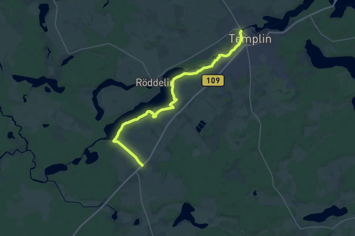
Demanding · Trail
Templin-Hammelspring
20.2 km · ↑ 83 m · 4 h 57 min
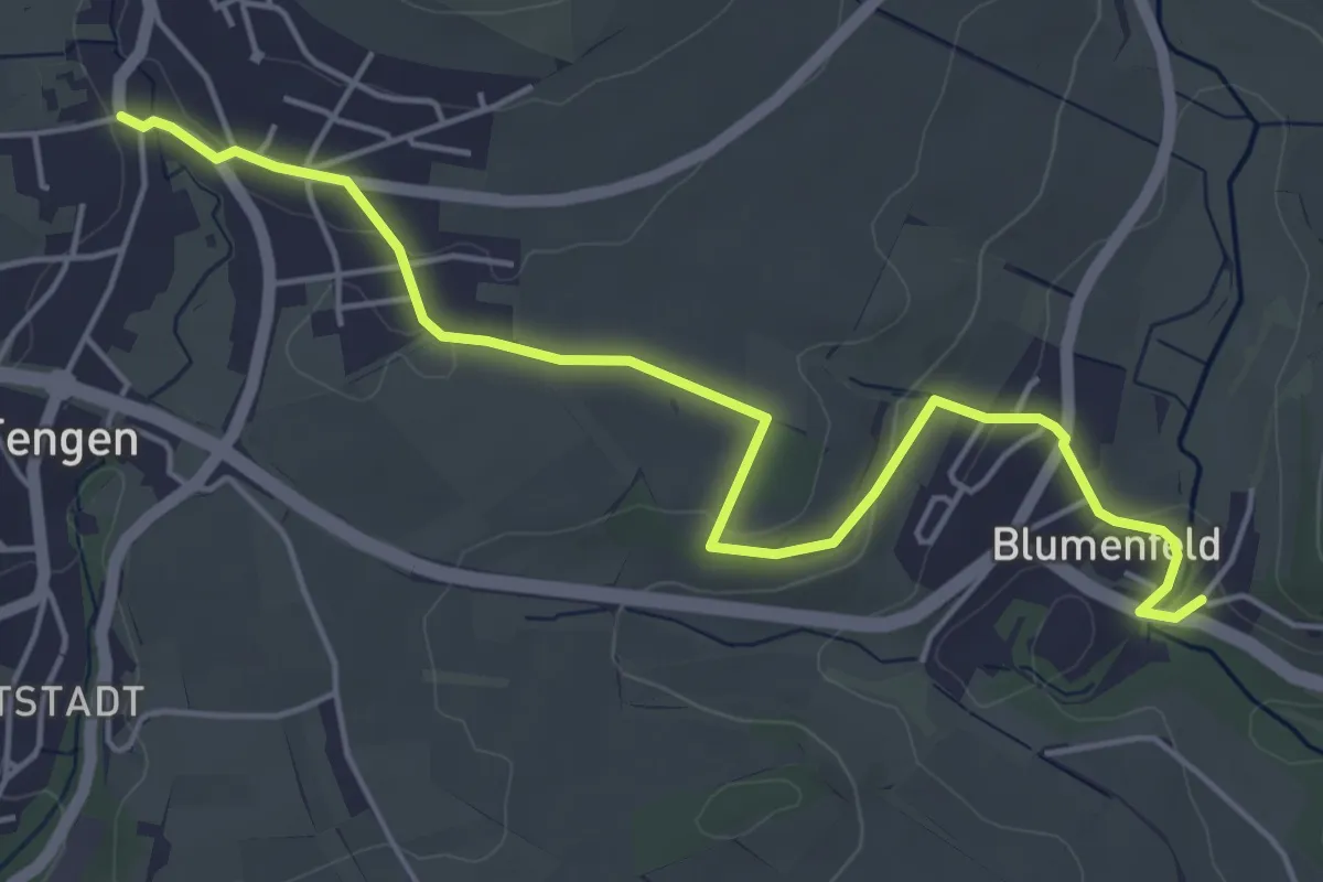
Easy · Trail
Tengen Leipferdinger Straße - Blumenfeld Römerstraße
5.5 km · ↑ 114 m · 1 h 33 min
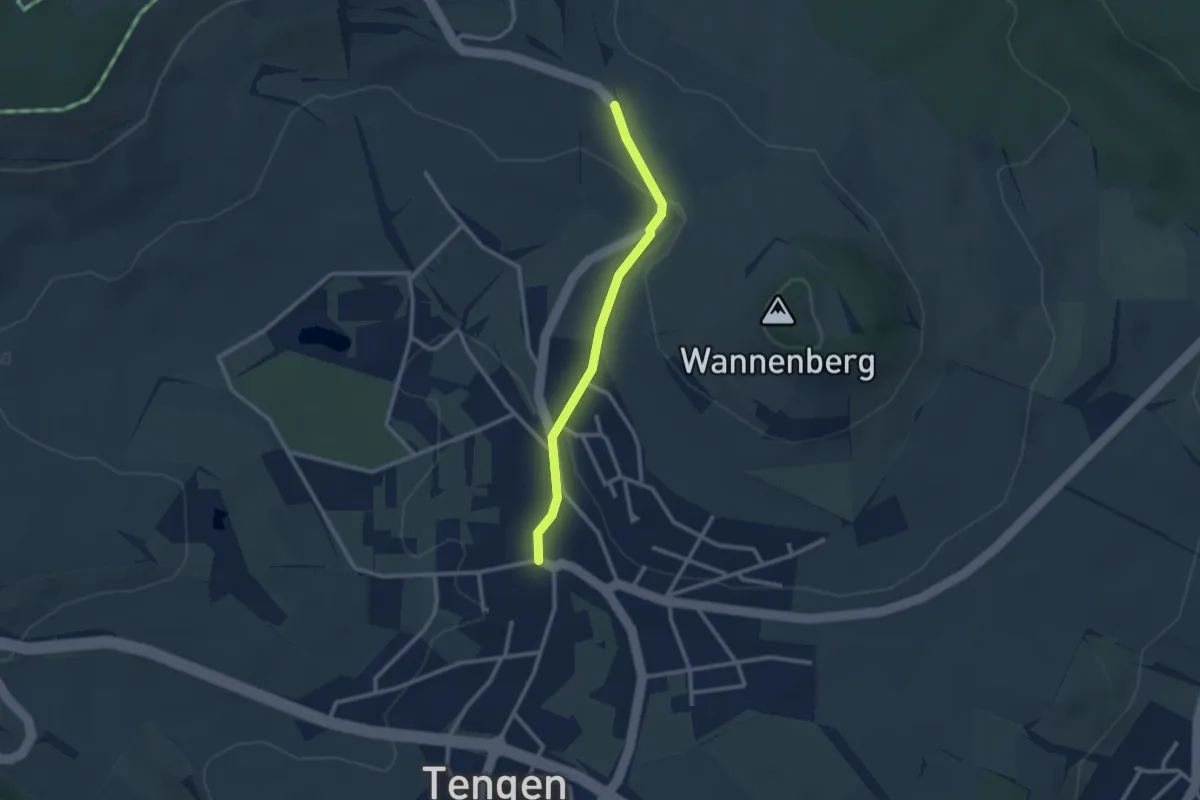
Easy · Trail
Tengen Leipferdinger Straße - Immenstedter Eck
2.4 km · ↑ 69 m · 43 min
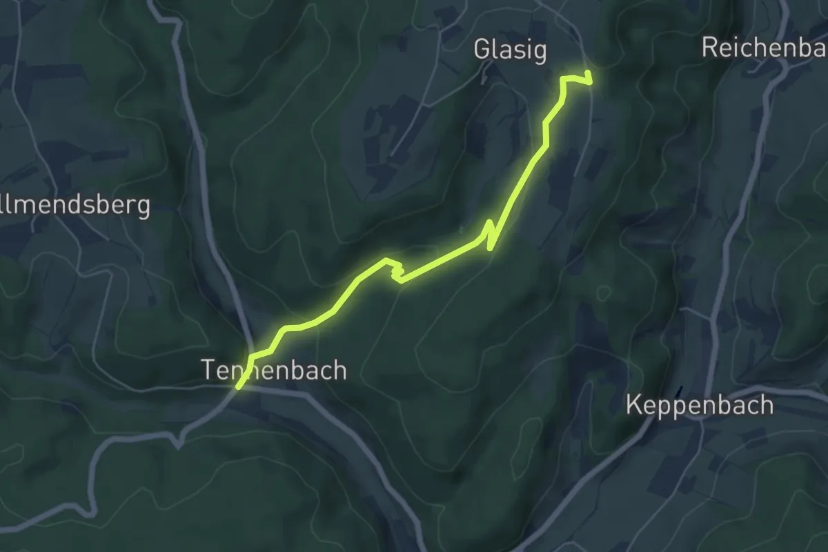
Easy · Trail
Tennenbach Parkplatz - Glasig Sandgrube
5.3 km · ↑ 206 m · 1 h 42 min