Trails in Germany
36,852 hiking trails, each with its route, climb, walking time and grade.
All trails, page 660 of 768
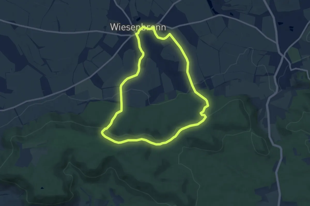
Medium · Trail
W2
8.1 km · ↑ 202 m · 2 h 28 min
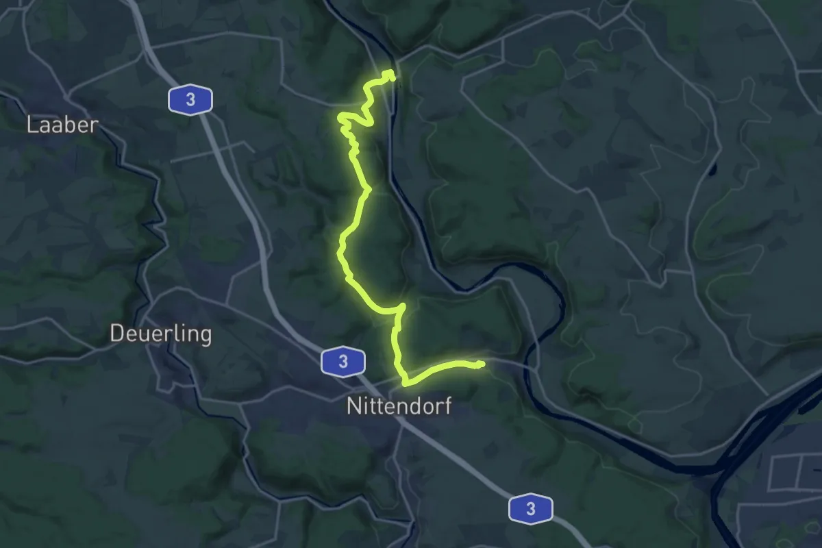
Medium · Trail
W 21 Etterzhausen - Pielenhofen (Rotes Dreieck)
17.8 km · ↑ 504 m · 5 h 17 min
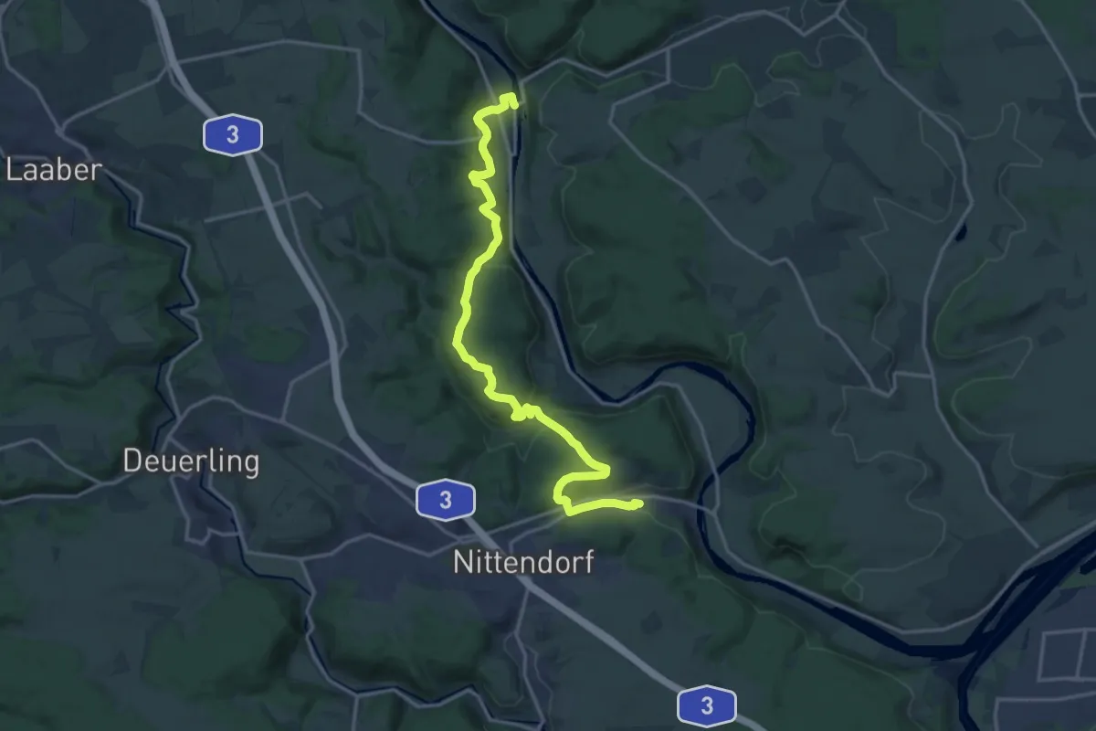
Medium · Trail
W 23 Etterzhausen - Pielenhofen (Grünes Rechteck)
17.1 km · ↑ 541 m · 5 h 13 min
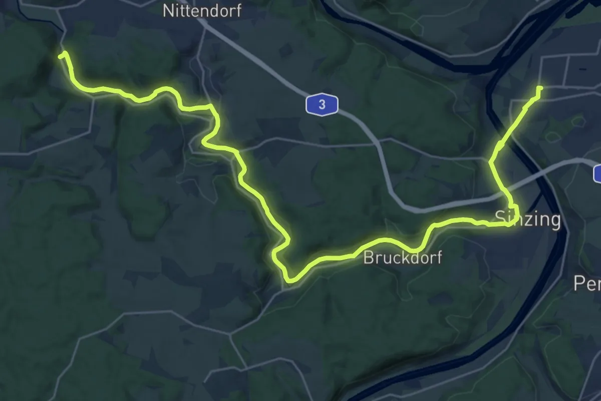
Medium · Trail
W 24 Regensburg - Eichhofen (Rotes Dreieck)
15.5 km · ↑ 144 m · 4 h 12 min
Medium · Trail
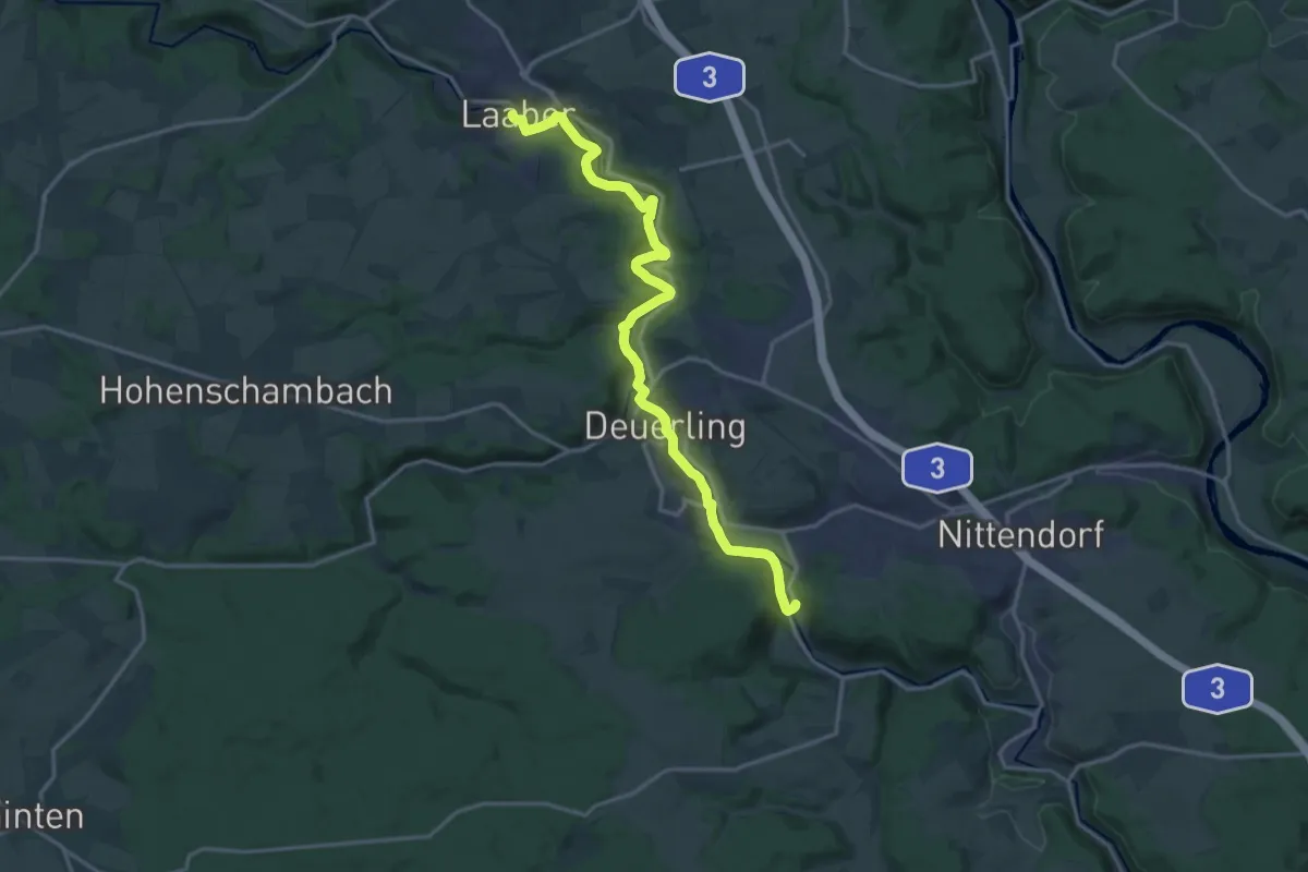
W 25 Eichhofen - Laaber (Rotes Dreieck)
17.3 km · ↑ 312 m · 4 h 46 min
Medium · Trail
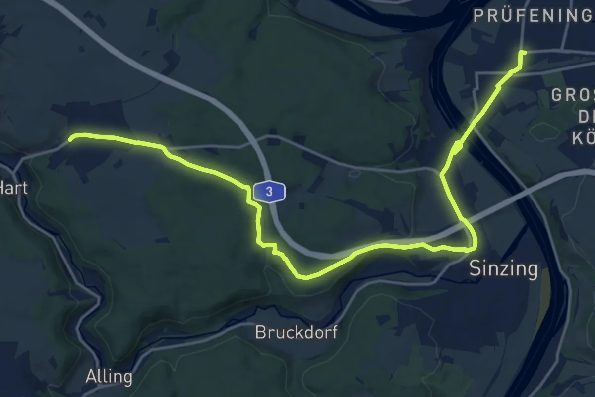
W 27 Regensburg-Prüfening - Eilsbrunn (Rotes Rechteck)
16.3 km · ↑ 282 m · 4 h 27 min
Medium · Trail
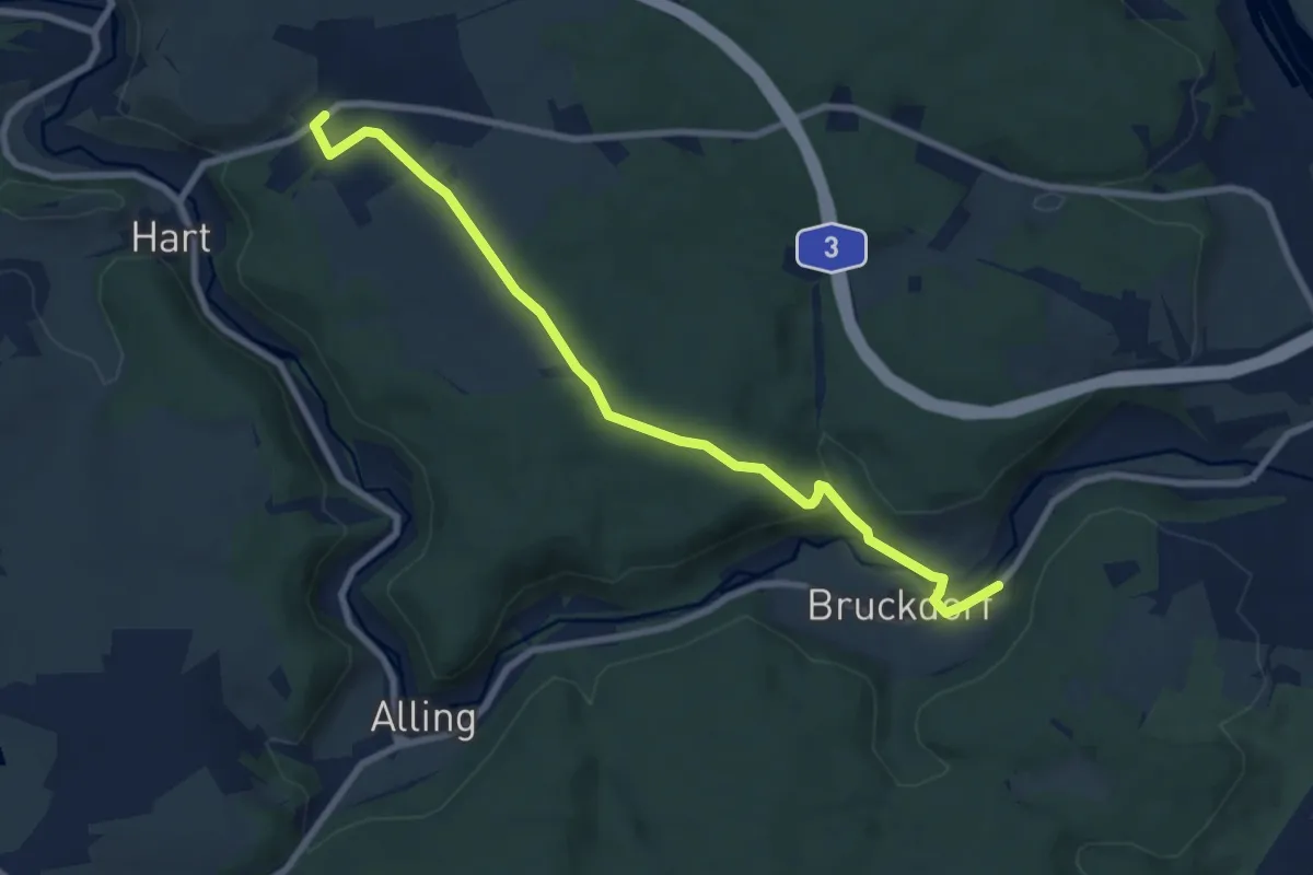
W 29 Bruckdorf - Eilsbrunn (Grünes Rechteck)
8.2 km · ↑ 206 m · 2 h 23 min
Easy · Summit
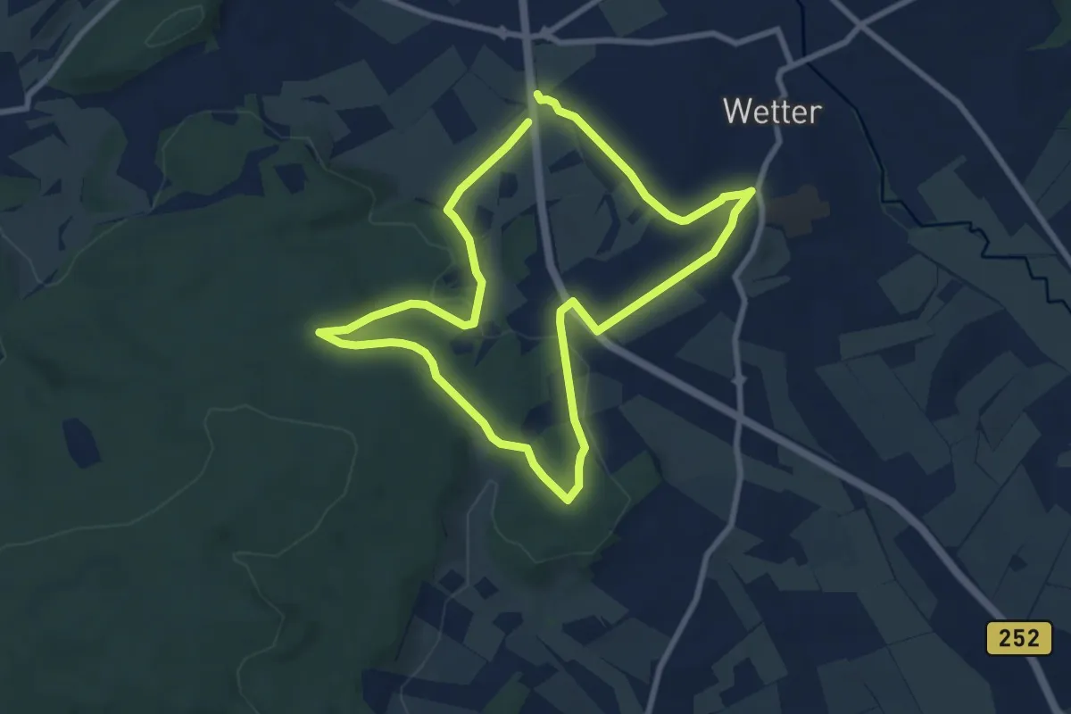
[W2] Kleine Wollenbergrunde (Wetschaft Senke)
7.0 km · ↑ 132 m · 2 h 2 min
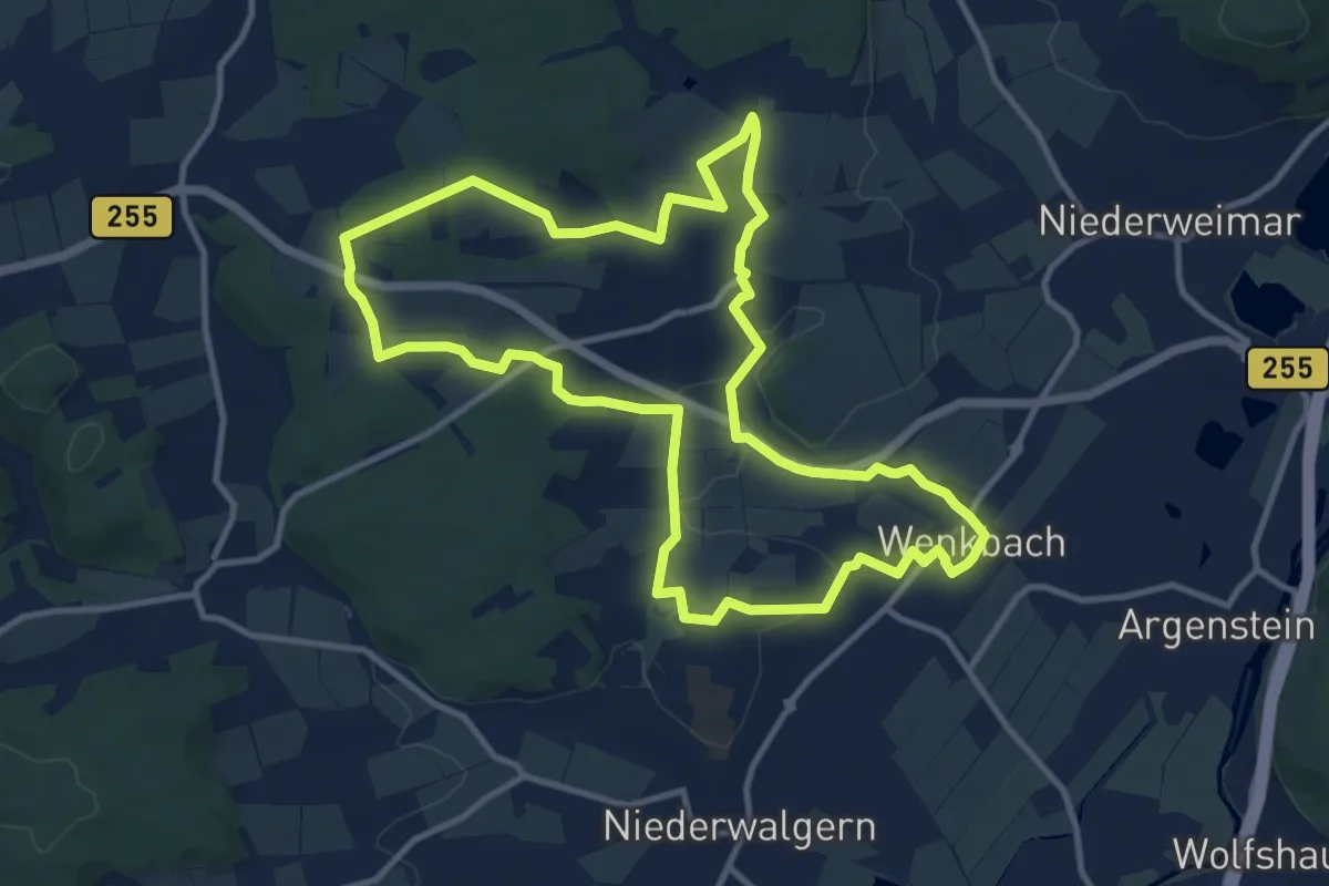
Medium · Summit
[W2] Ortsrundweg Oberweimar - Wenkbach - Oberweimar
10.8 km · ↑ 126 m · 2 h 59 min
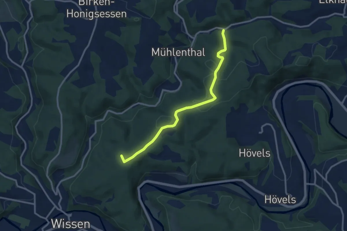
Easy · Trail
[W2] Rundweg Wissen 2
7.2 km · ↑ 201 m · 2 h 8 min
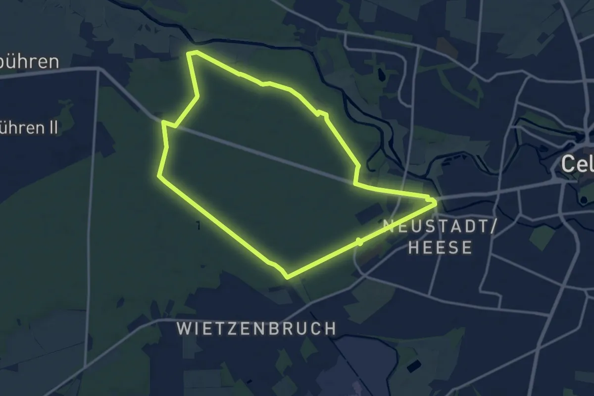
Medium · Trail
W2 - Wandertour Neustädter Holz
10.8 km · ↑ 21 m · 2 h 44 min
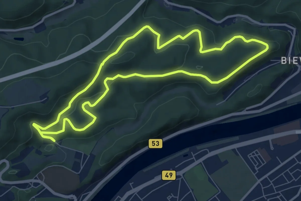
Easy · Summit
W2 Weisshauswald
7.4 km · ↑ 260 m · 2 h 24 min
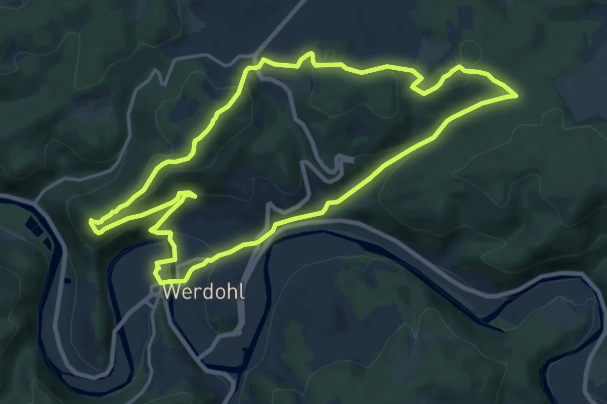
Medium · Summit
[W2] Werdohl Rundweg
10.8 km · ↑ 392 m · 3 h 33 min
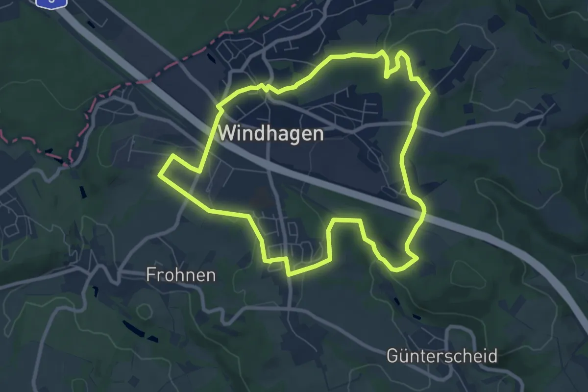
Easy · Trail
[W2] Windhagener Weg
6.8 km · ↑ 121 m · 1 h 58 min
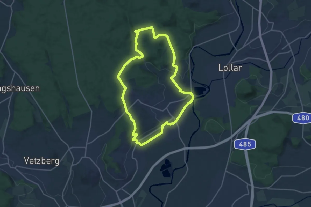
Medium · Trail
W2 Wissmar
12.4 km · ↑ 257 m · 3 h 40 min
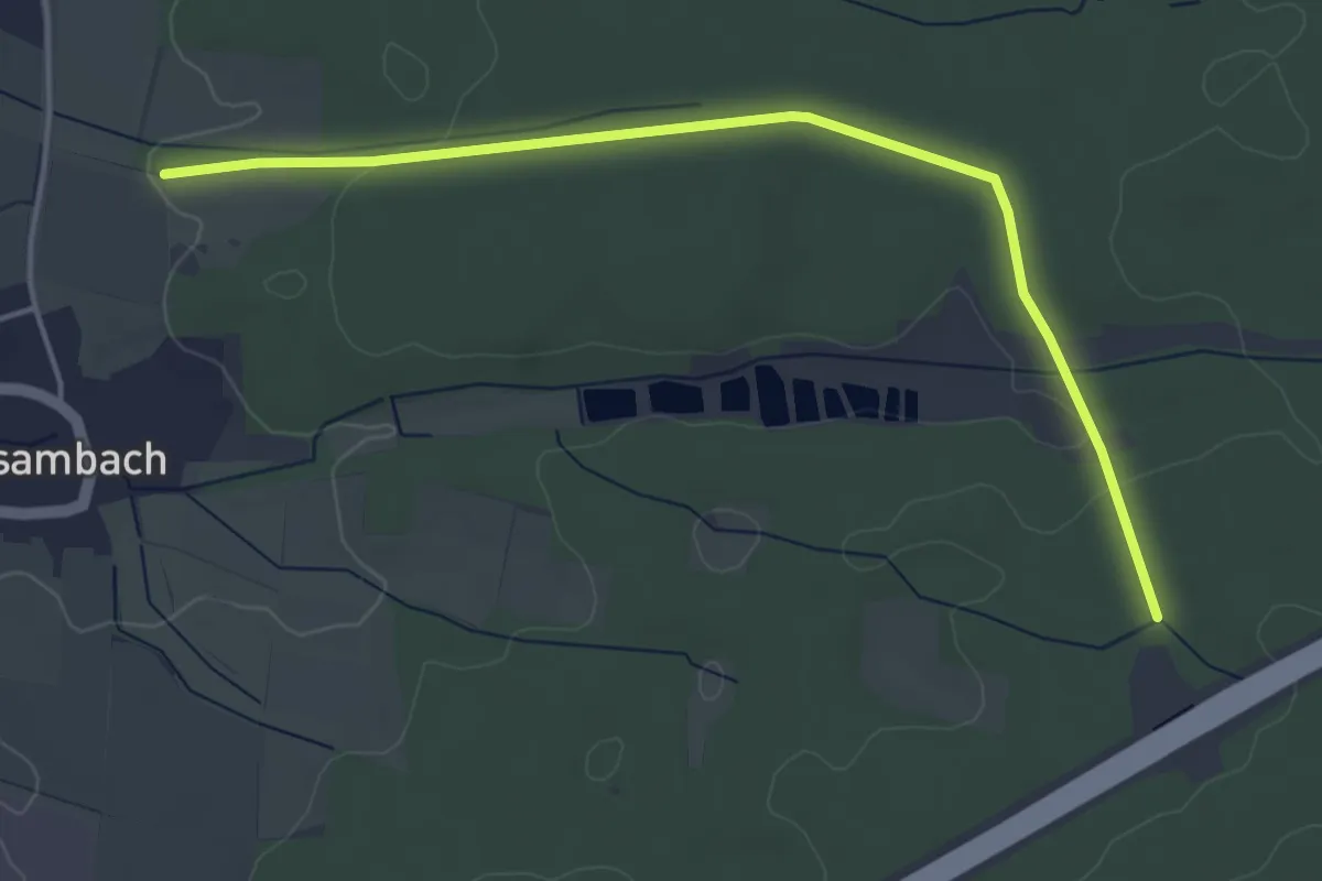
Easy · Trail
W 3
4.4 km · ↑ 65 m · 1 h 11 min
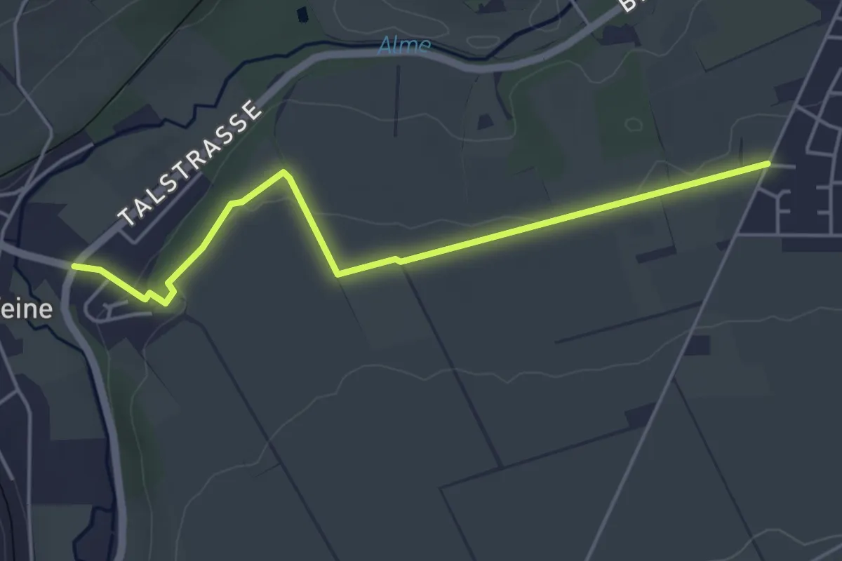
Easy · Trail
W3
4.2 km · ↑ 74 m · 1 h 9 min
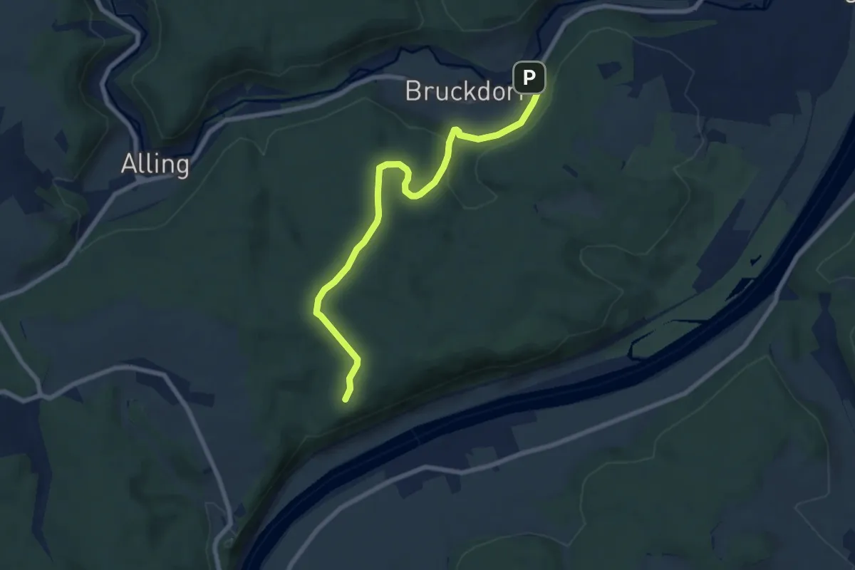
Easy · Trail
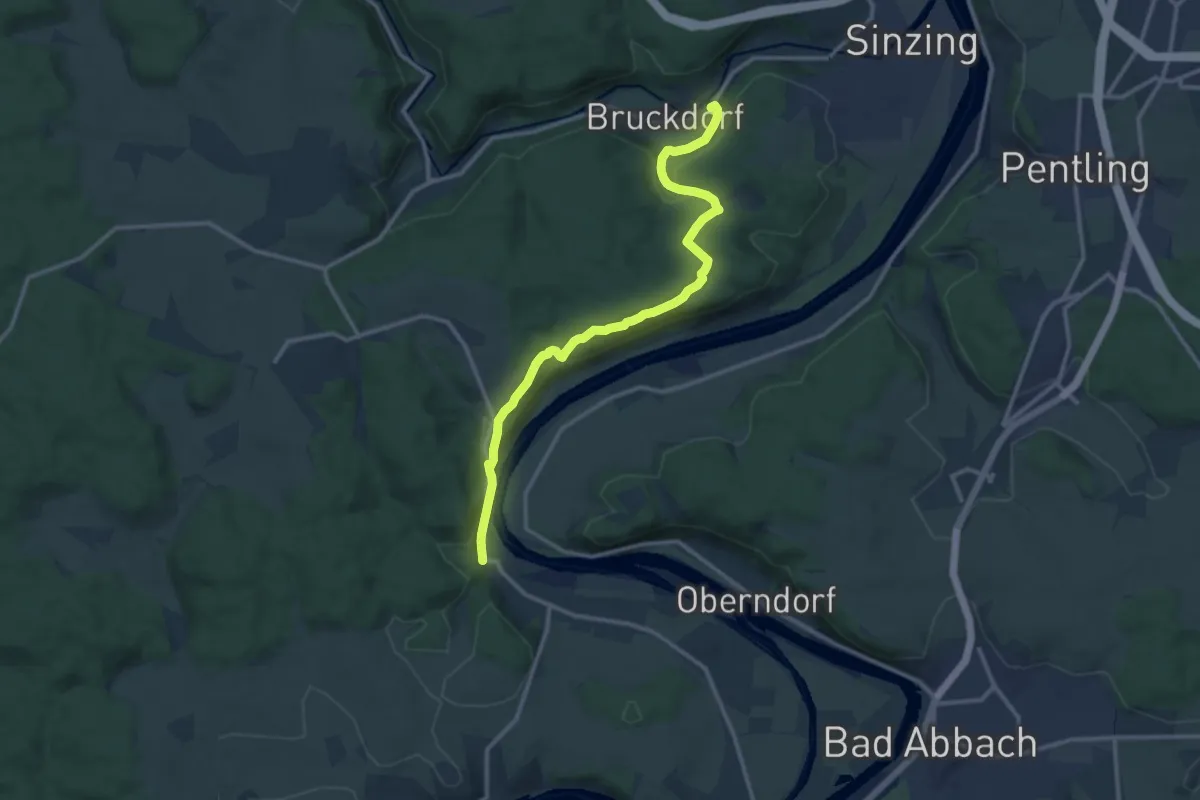
W 30 Bruckdorf - Zuylenkapelle - Anschluß an W31 (Rotes Dreieck)
7.1 km · ↑ 176 m · 2 h 3 min
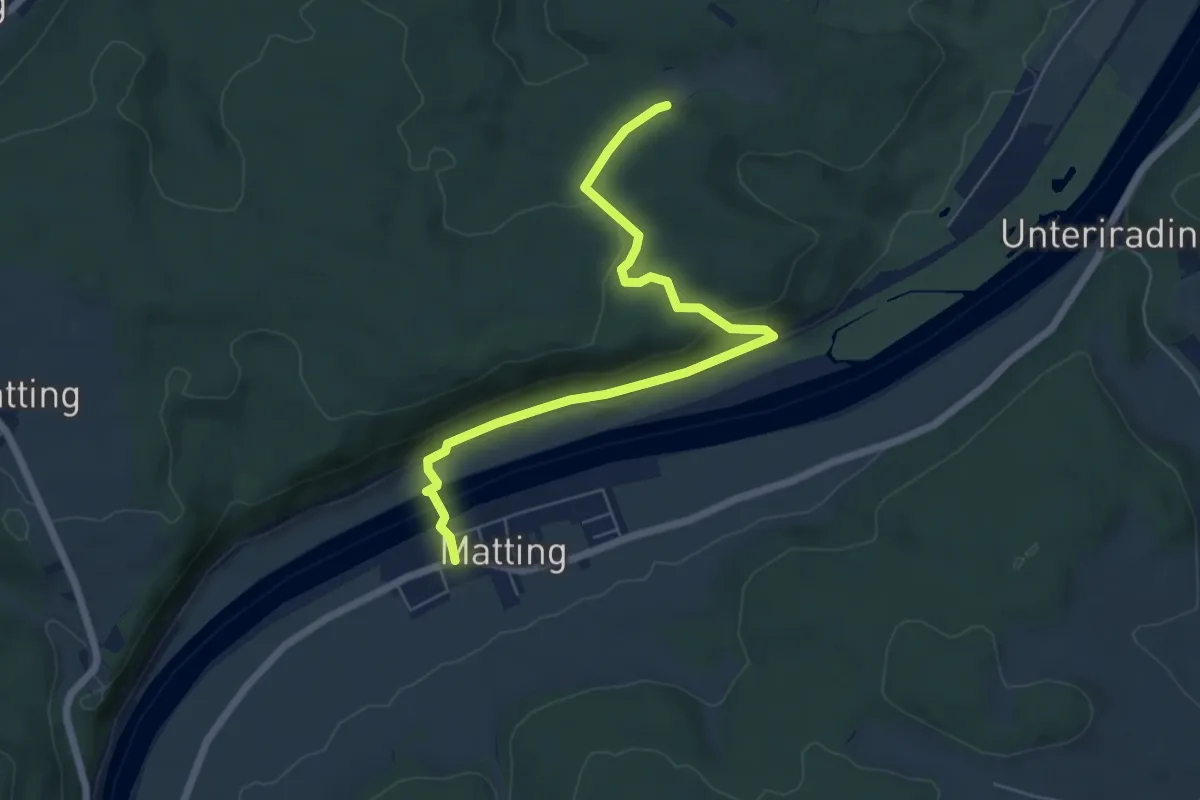
Medium · Trail
W 31 Bruckdorf - Rosengarten (Grünes Rechteck)
12.4 km · ↑ 309 m · 3 h 36 min
Easy · Trail
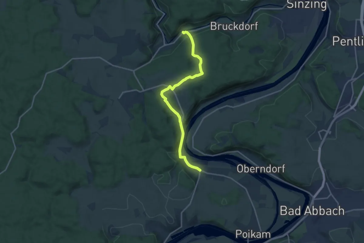
W 32 Matting - Möseleiche (Blaues Rechteck)
6.4 km · ↑ 175 m · 1 h 53 min
Medium · Trail
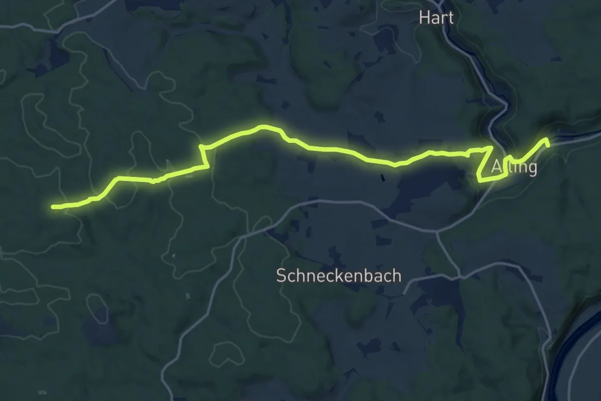
W 33 Gundelshausen - Alling (Rotes Dreieck)
12.2 km · ↑ 288 m · 3 h 30 min
Medium · Trail
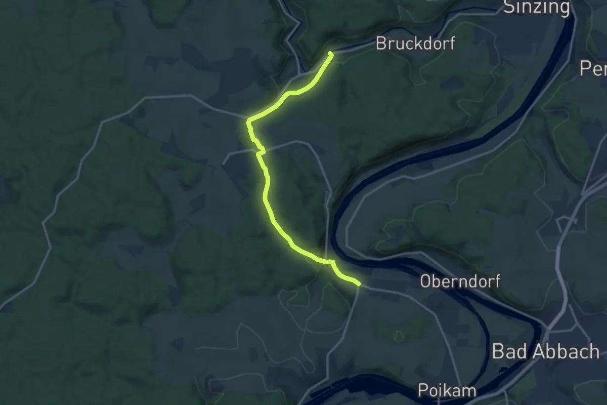
W 34 Alling - Irlbrunn (Grünes Rechteck)
17.2 km · ↑ 405 m · 4 h 57 min
Medium · Trail
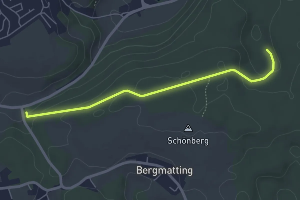
W 35 Alling - Gundelshausen (Rotes Rechteck)
12.2 km · ↑ 245 m · 3 h 25 min
Easy · Trail
W 37 Verbindungsweg zwischen W33 und W35 (Grünes Rechteck)
4.4 km · ↑ 117 m · 1 h 18 min
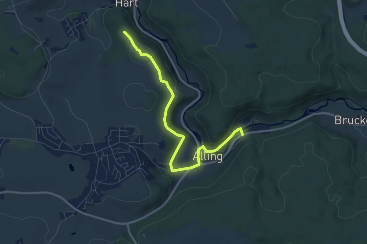
Easy · Trail
W 38 Alling - Eilsbrunn (Blaues Rechteck)
7.3 km · ↑ 190 m · 2 h 8 min
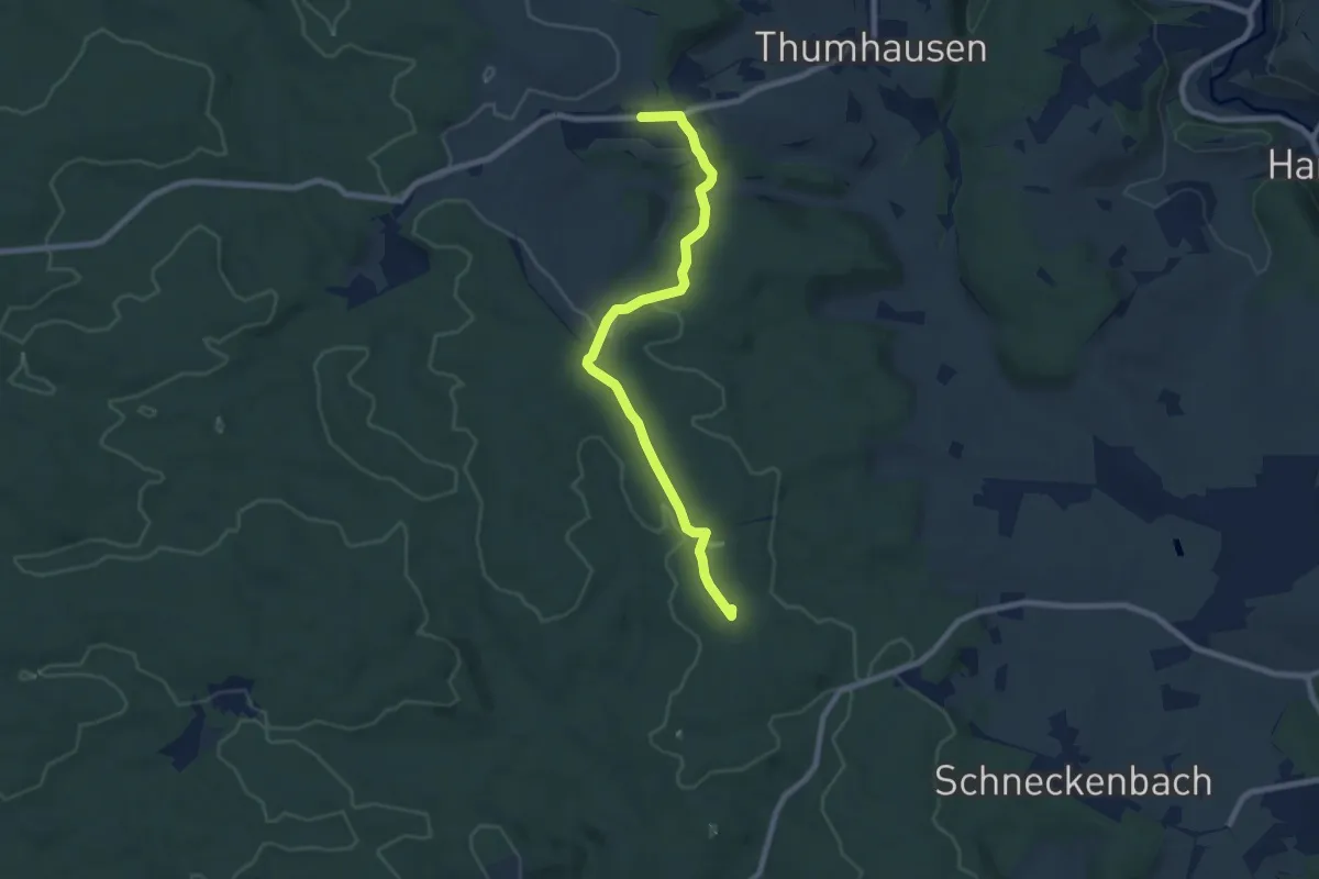
Easy · Summit
W 39 Schneckenbach - Haugenried (Rotes Rechteck)
7.8 km · ↑ 145 m · 2 h 9 min
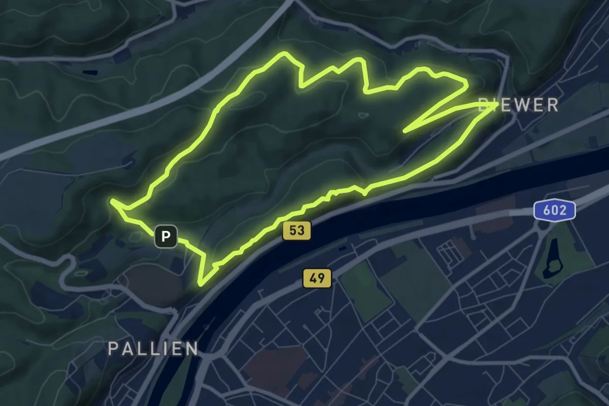
Medium · Summit
W3 Moselblick
8.3 km · ↑ 371 m · 2 h 53 min
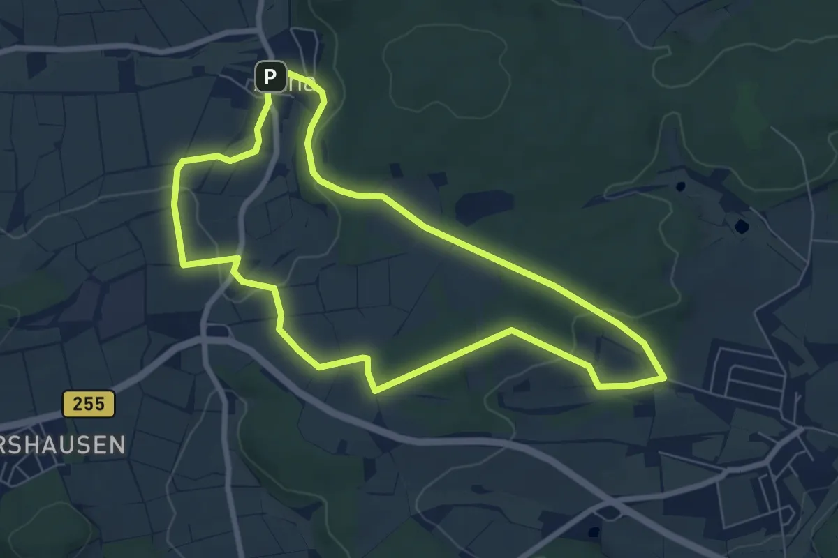
Easy · Summit
[W3] Ortsrundweg Oberweimar - Allna - Oberweimar
6.3 km · ↑ 139 m · 1 h 52 min
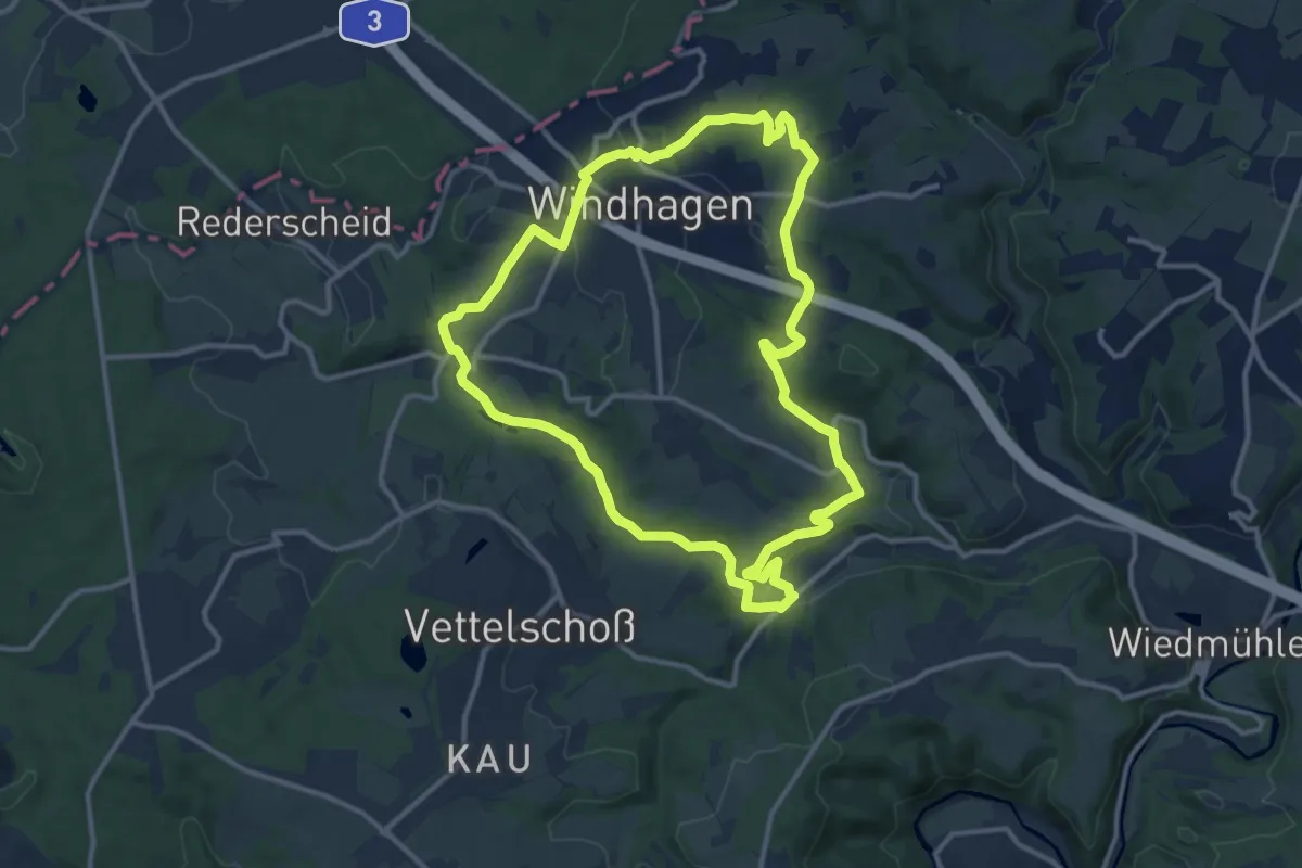
Medium · Trail
[W3] Redescheider Weg
11.2 km · ↑ 203 m · 3 h 14 min
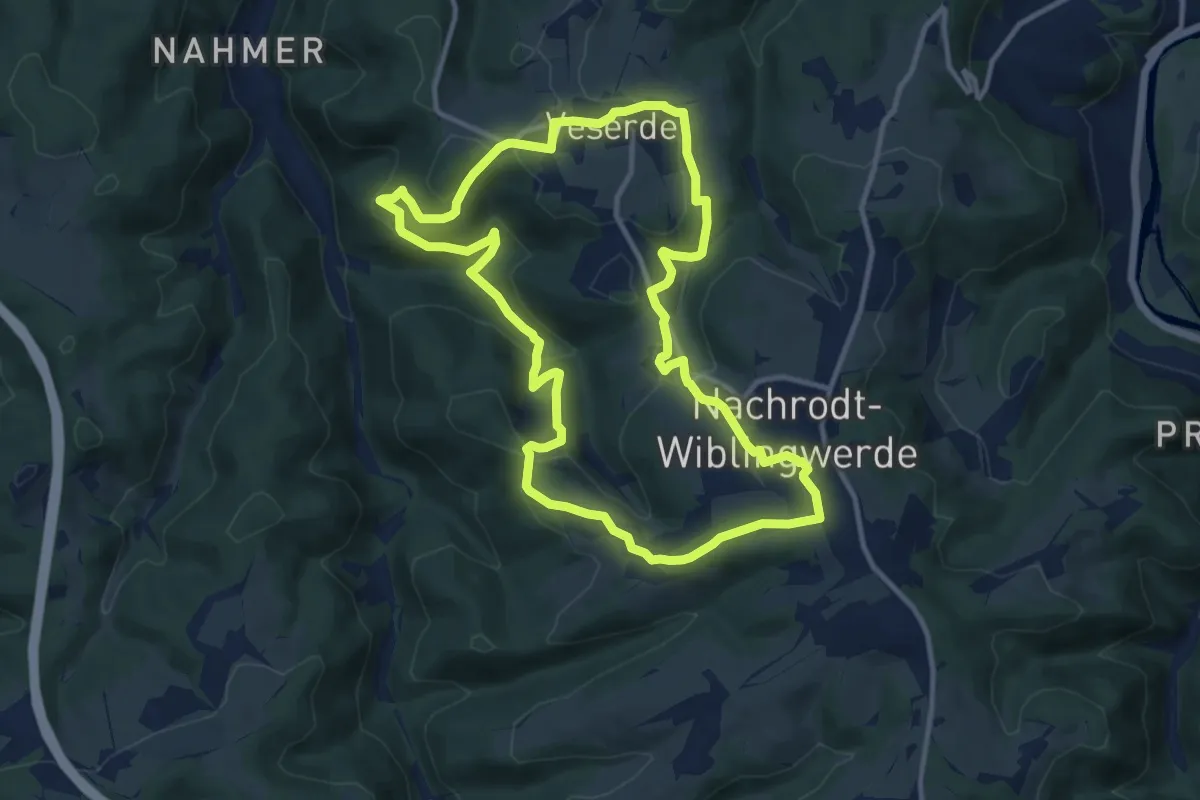
Medium · Trail
[W3] Rundweg Wiblingwerde - Veserde
10.7 km · ↑ 333 m · 3 h 24 min
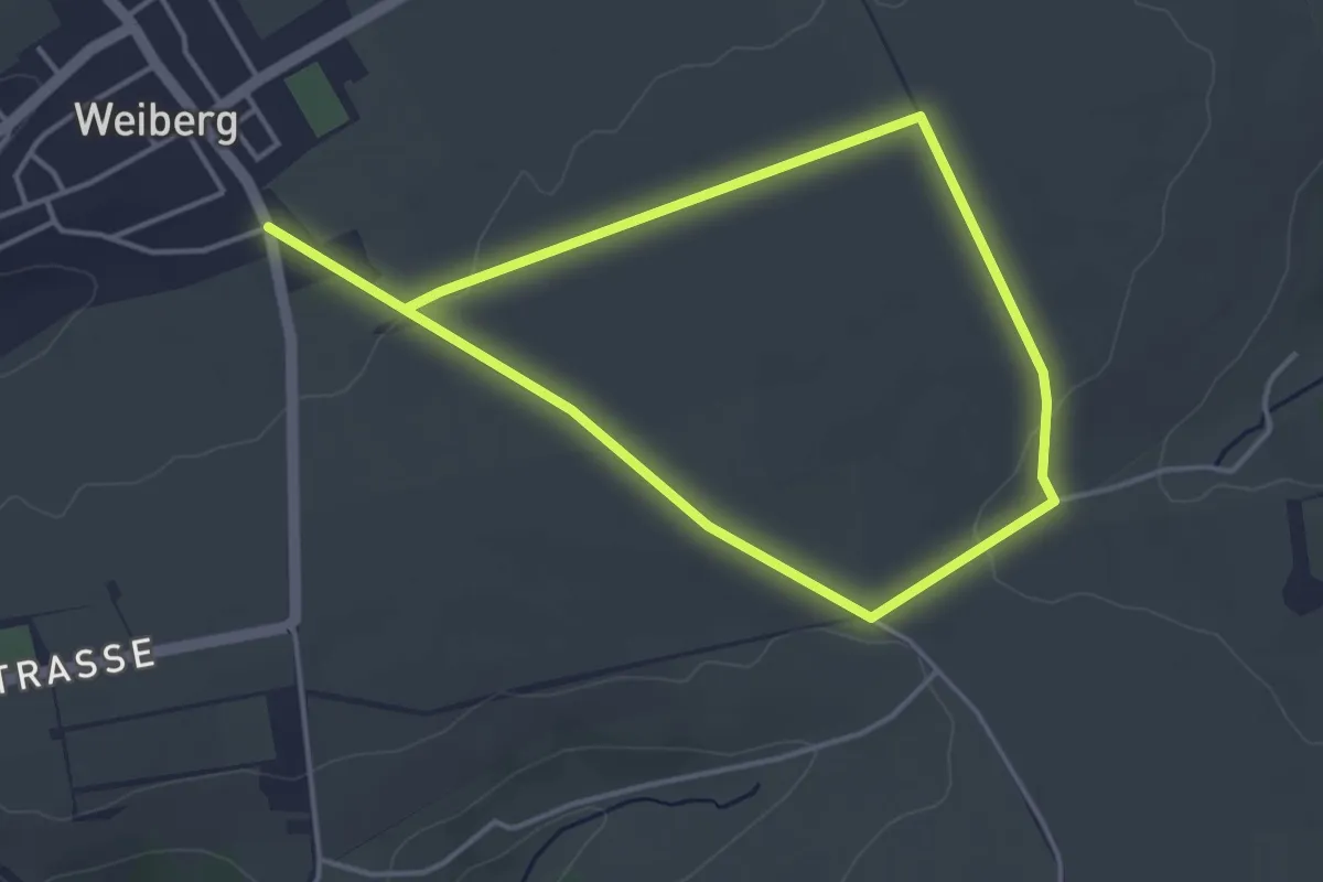
Easy · Trail
W3 (Weiberg)
3.2 km · ↑ 30 m · 51 min
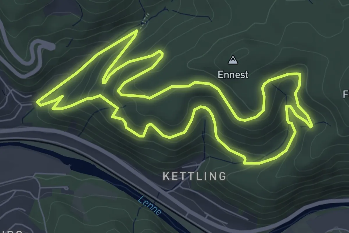
Medium · Summit
[W3] Werdohl Rundweg
6.7 km · ↑ 324 m · 2 h 23 min
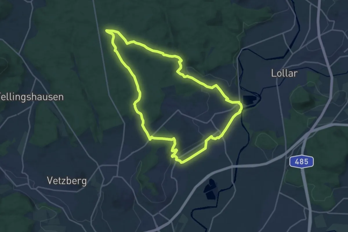
Medium · Trail
W3 Wissmar
14.1 km · ↑ 252 m · 4 h 5 min
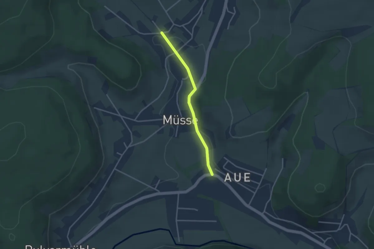
Easy · Trail
W4
1.2 km · ↑ 14 m · 19 min
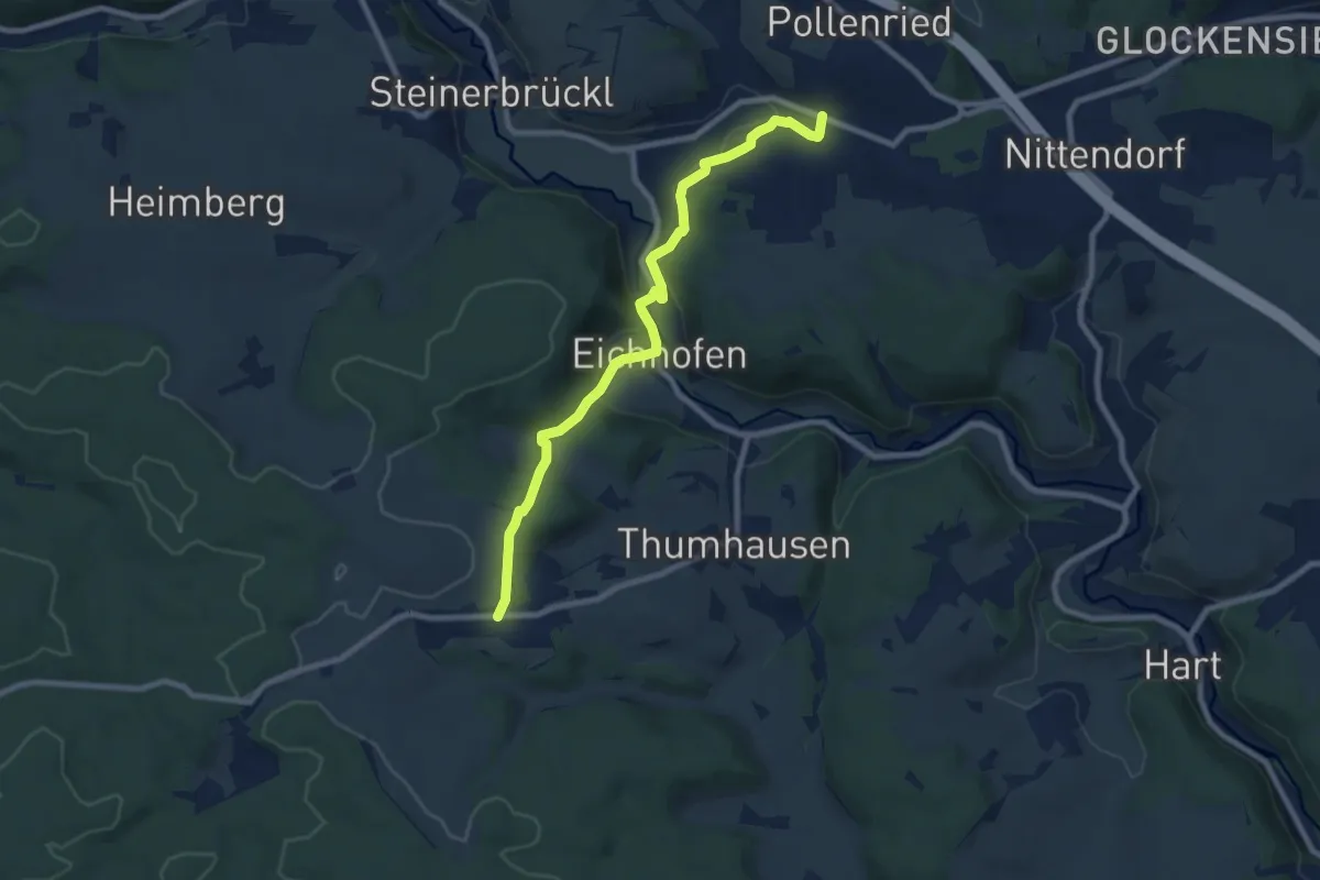
Medium · Trail
W 40 Undorf - Haugenried (Rotes Dreieck)
8.3 km · ↑ 199 m · 2 h 23 min
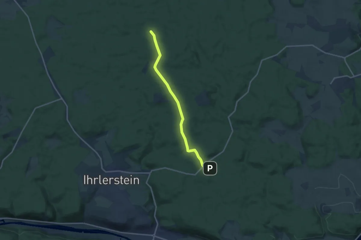
Medium · Trail
W 41 Frauenhäusl - Haugenried (Rotes Dreieck)
10.5 km · ↑ 224 m · 2 h 58 min
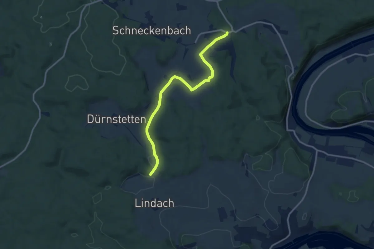
Medium · Trail
W 42 Saxberg - Marderreibe (Blaues Rechteck)
8.9 km · ↑ 104 m · 2 h 20 min
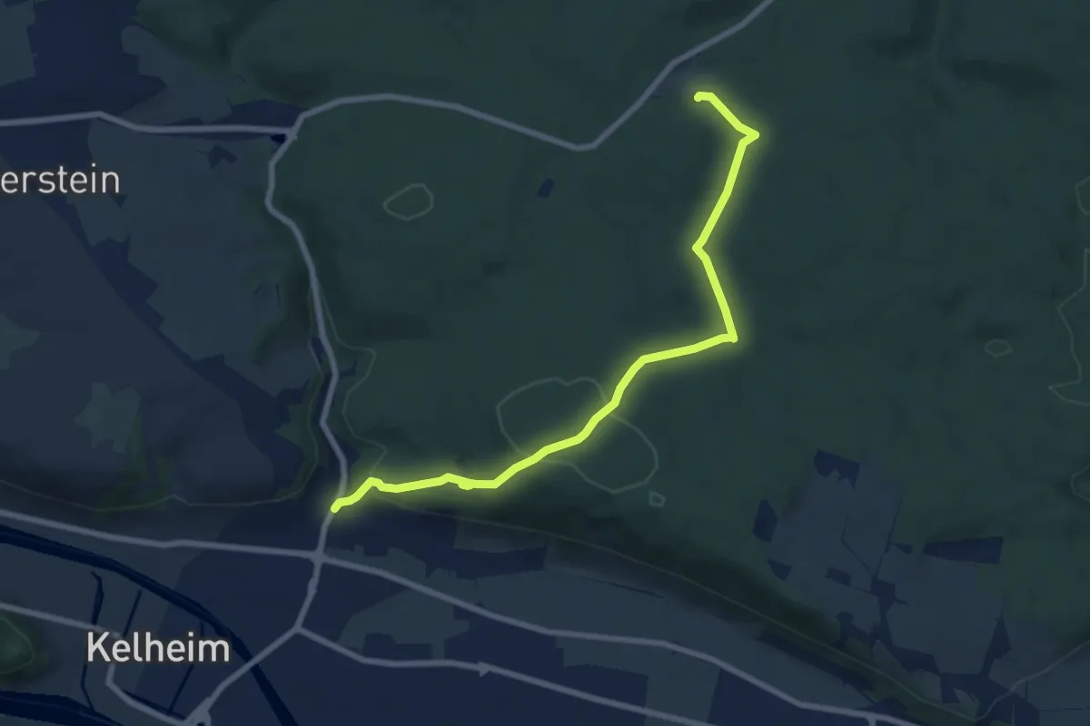
Easy · Trail
W 44 Frauenhäusl - Kelheim (Grünes Rechteck)
7.5 km · ↑ 228 m · 2 h 17 min
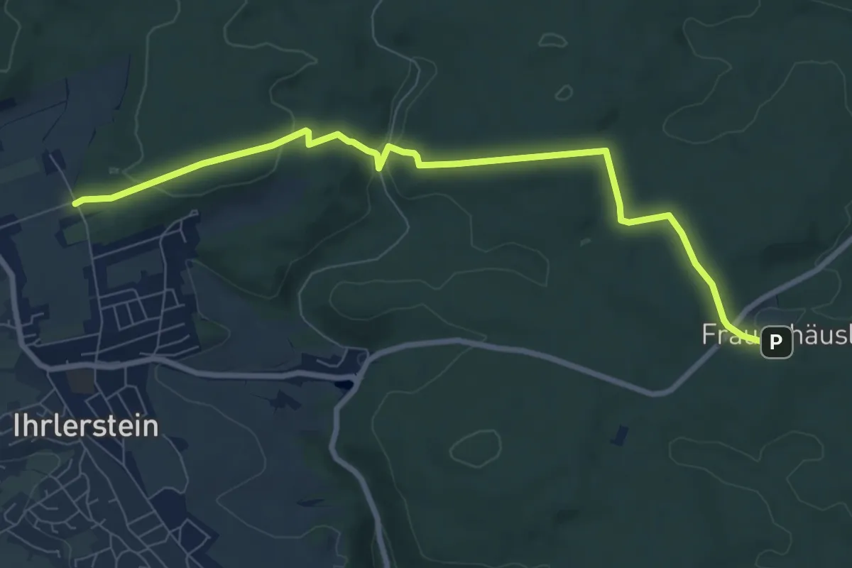
Medium · Trail
W 45 Frauenhäusl - Wäscherhardl (Rotes Rechteck)
8.2 km · ↑ 197 m · 2 h 22 min
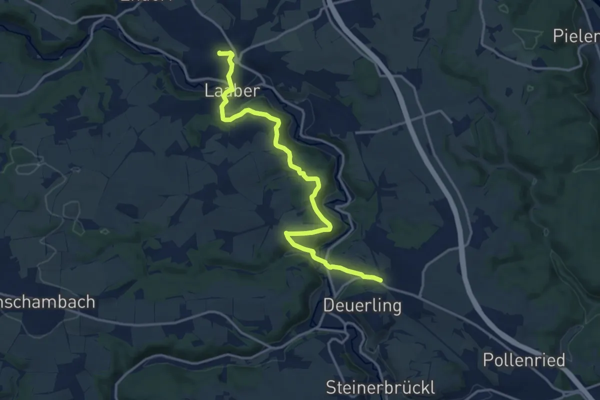
Medium · Trail
W 47 Laaber - Deuerling (Rotes Rechteck)
12.8 km · ↑ 338 m · 3 h 45 min
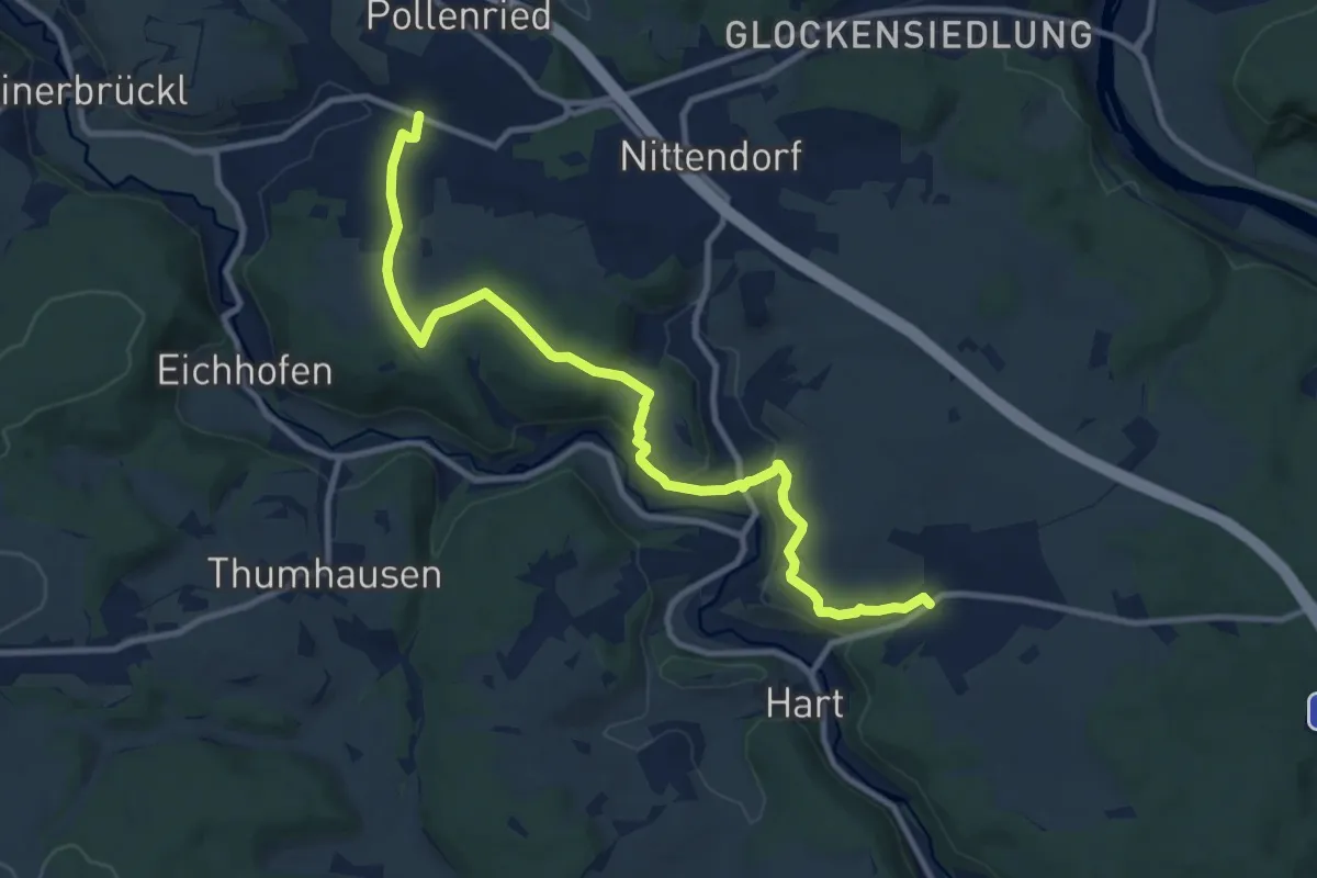
Medium · Trail
W 48 Undorf - Alpine Steige - Eilsbrunn (Blaues Rechteck)
11.1 km · ↑ 345 m · 3 h 22 min
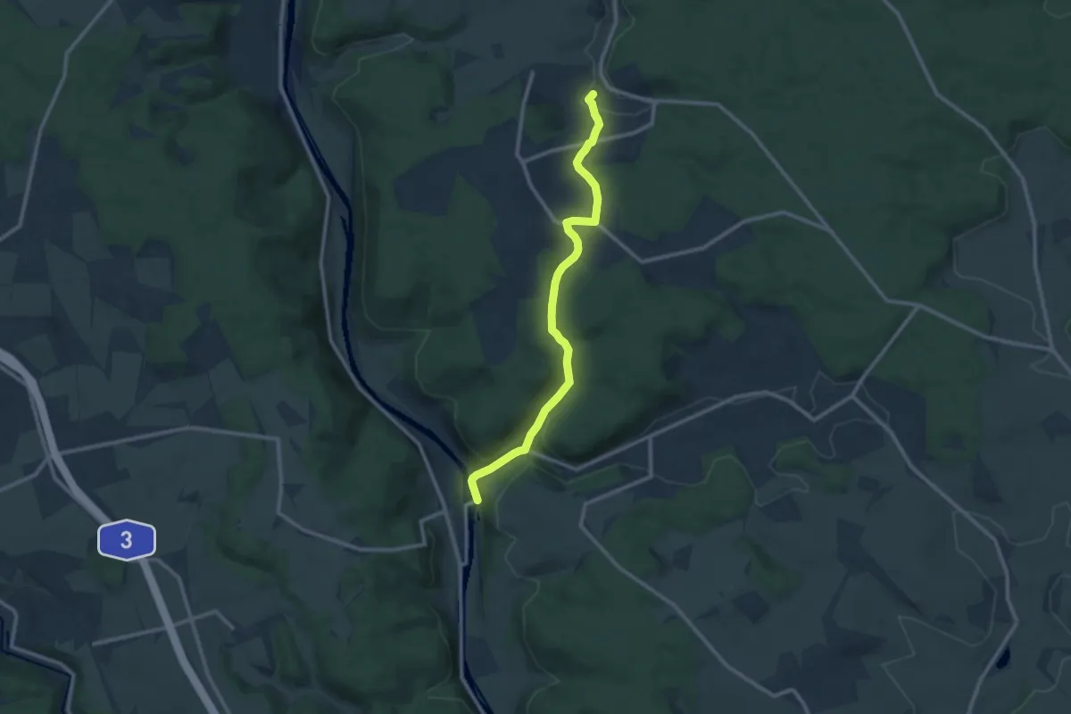
Medium · Trail
W 49 Wolfsegg - Pielenhofen (Rotes Dreieck)
9.9 km · ↑ 236 m · 2 h 50 min
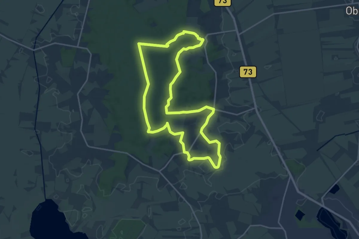
Medium · Summit
W4 Kraienholt
13.4 km · ↑ 164 m · 3 h 43 min
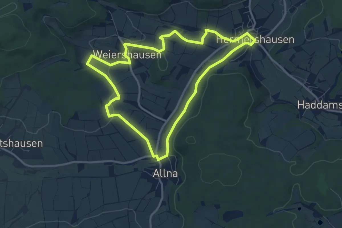
Easy · Trail
[W4] Ortsrundweg Weiershausen - Allna - Weiershausen
7.2 km · ↑ 101 m · 2 h
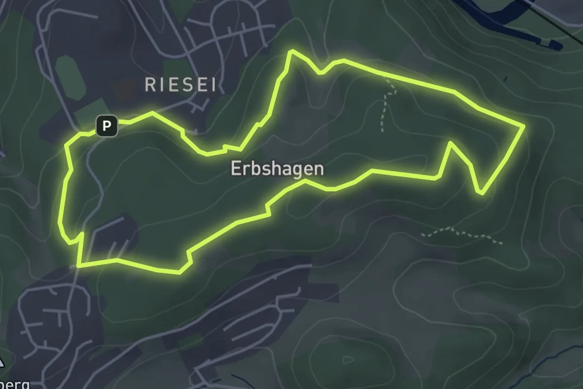
Easy · Trail
[W4] Riesei - Erbshagen
4.4 km · ↑ 125 m · 1 h 22 min
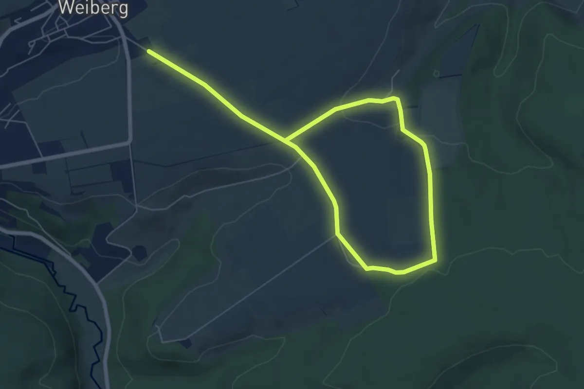
Medium · Trail
W4 (Weiberg)
8.5 km · ↑ 144 m · 2 h 19 min
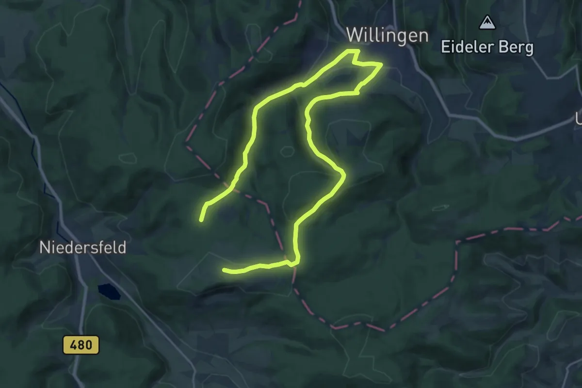
Medium · Summit
W4 Willingen
12.0 km · ↑ 281 m · 3 h 35 min
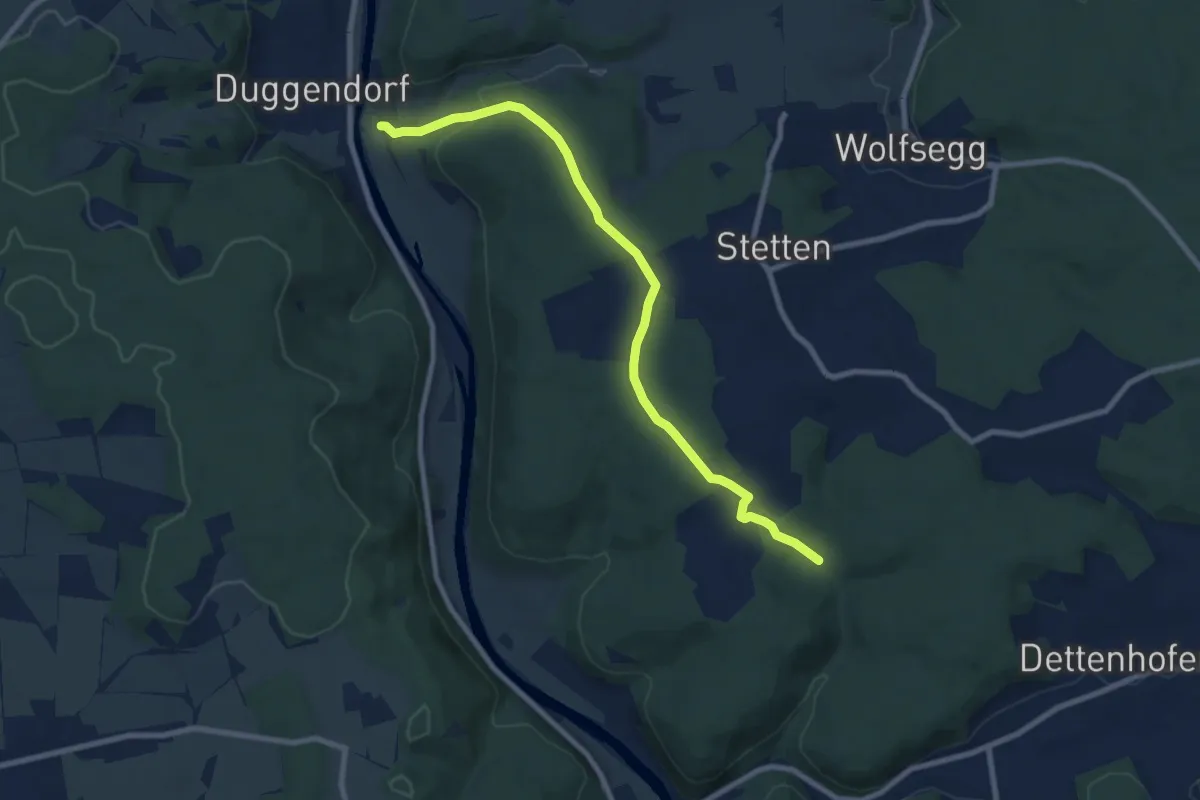
Medium · Trail
W 50 Duggendorf - W49 (Grünes Rechteck)
8.3 km · ↑ 266 m · 2 h 33 min