Trails in Germany
36,852 hiking trails, each with its route, climb, walking time and grade.
All trails, page 664 of 768
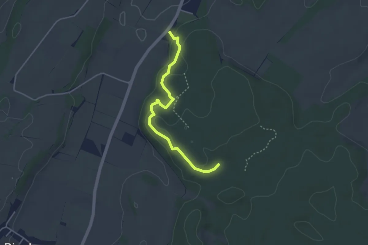
Easy · Trail
Walderlebnispfad Denklingen
3.2 km · ↑ 100 m · 58 min
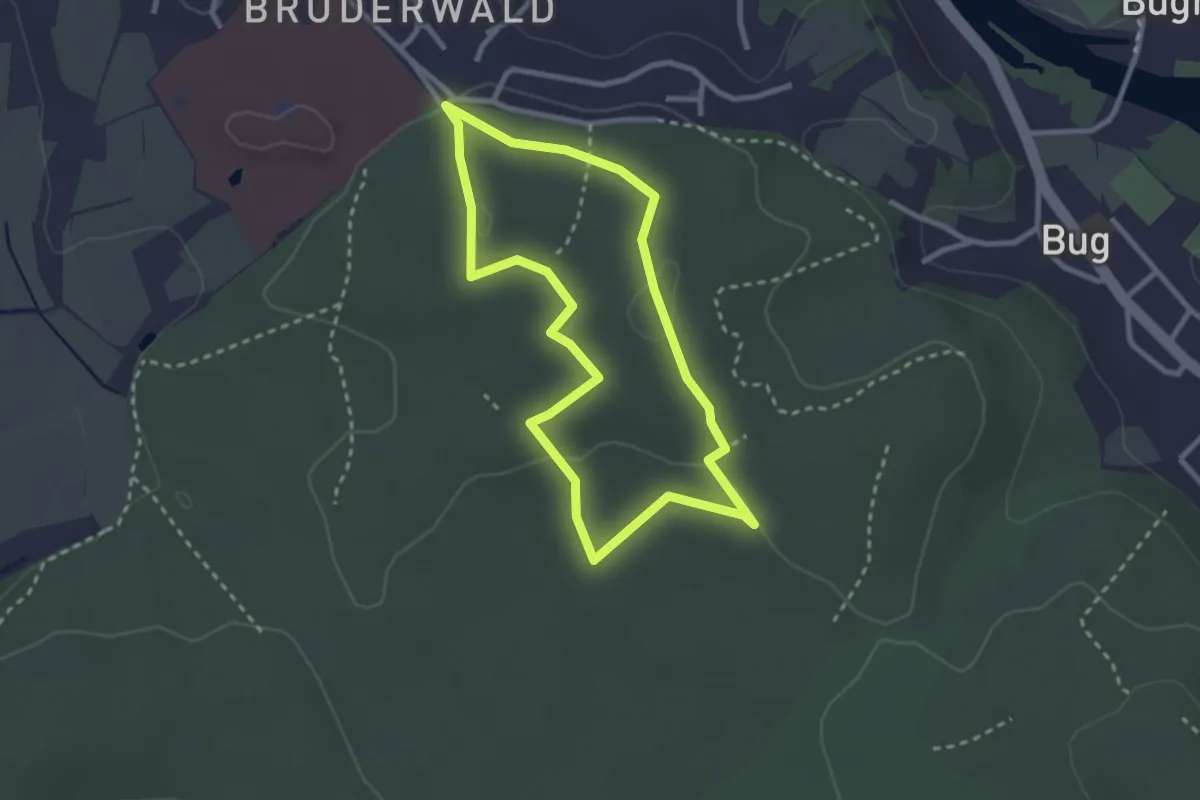
Easy · Trail
Walderlebnispfad "Erlebe Bruder Wald"
2.4 km · ↑ 33 m · 40 min
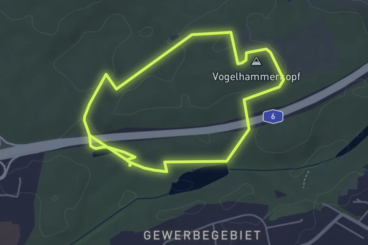
Easy · Summit
Walderlebnispfad "Fuchsfährte"
3.8 km · ↑ 47 m · 1 h 3 min
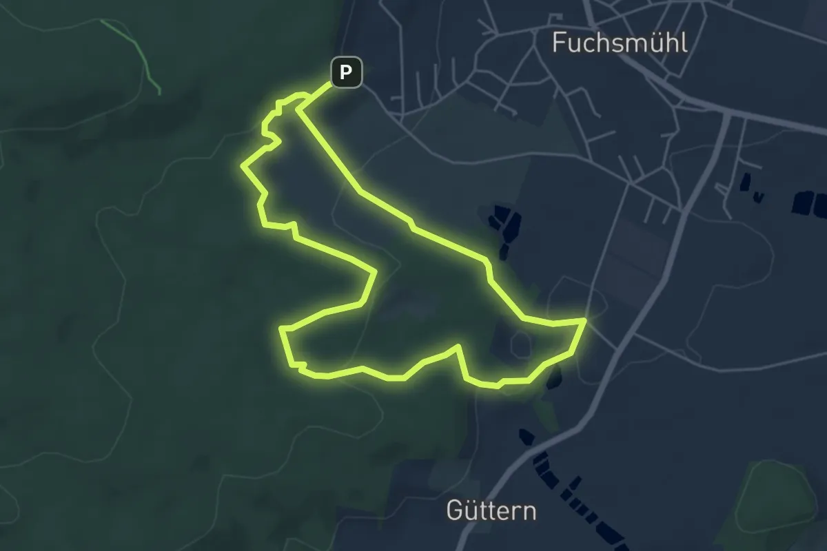
Easy · Summit
WaldErlebnisPfad Fuchsmühl
4.6 km · ↑ 117 m · 1 h 24 min
Easy · Trail
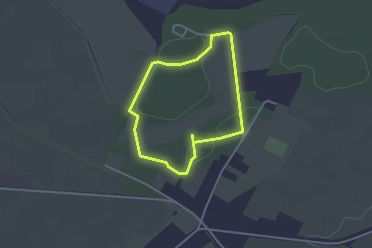
Walderlebnispfad "Fuchs und Hase"
1.9 km · ↑ 9 m · 29 min
Easy · Trail
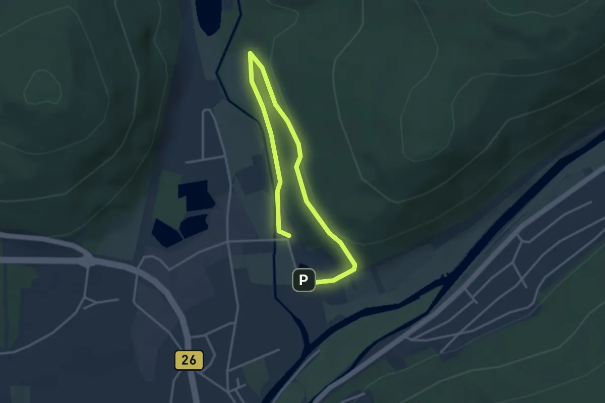
Walderlebnispfad Gemünden Main
2.0 km · ↑ 53 m · 37 min
Easy · Trail
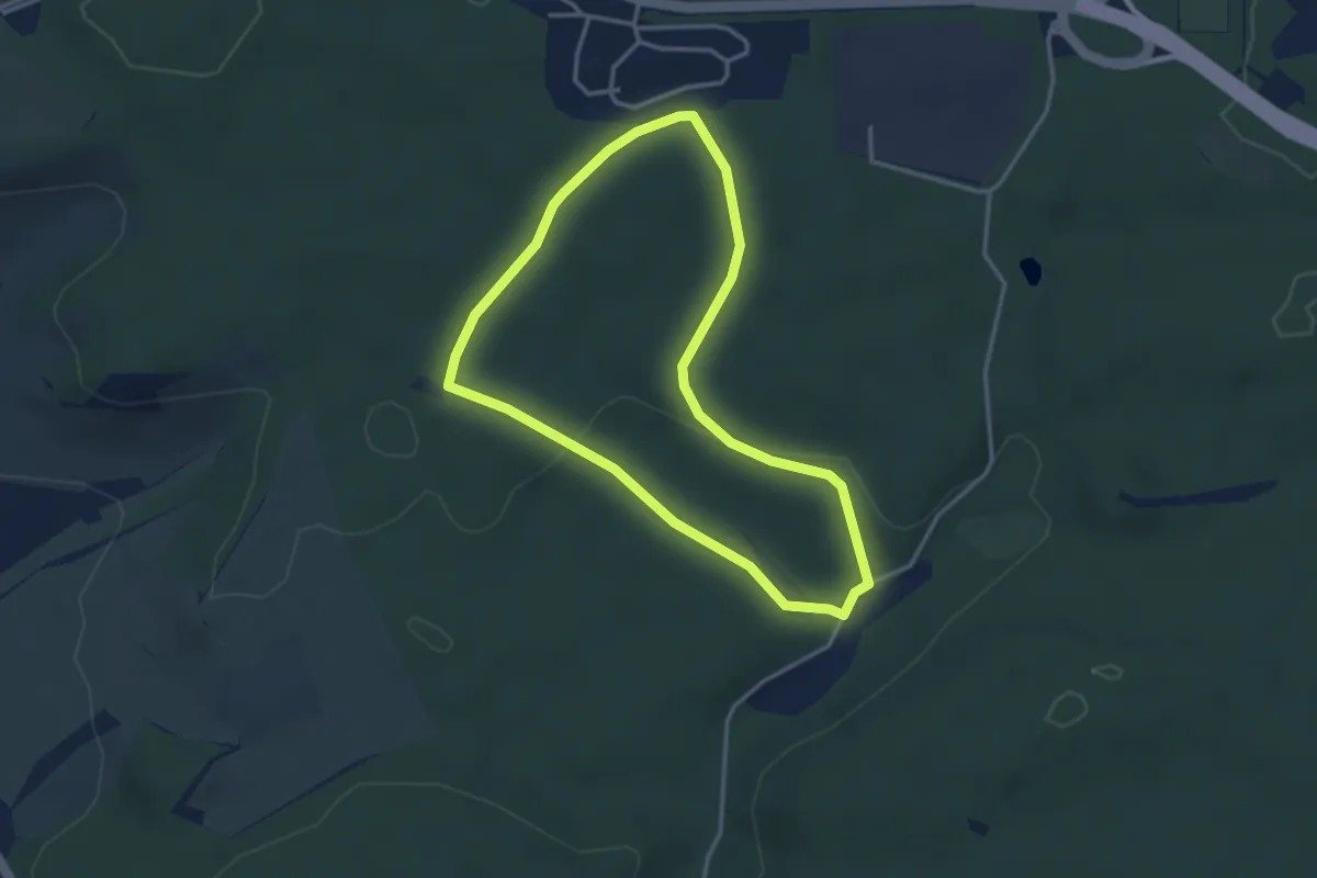
Walderlebnispfad Gerlingen
3.1 km · ↑ 59 m · 54 min
Easy · Trail
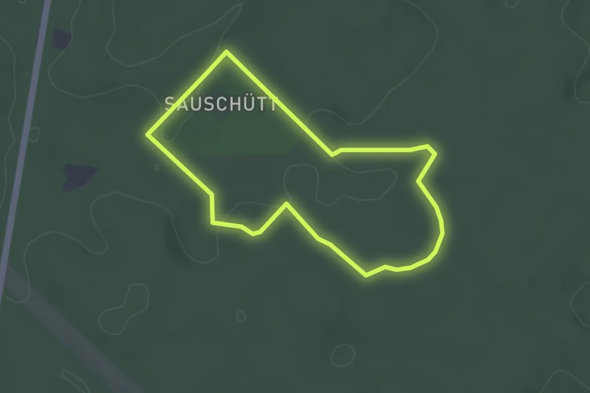
Walderlebnispfad Grünwald
2.4 km · ↑ 29 m · 40 min
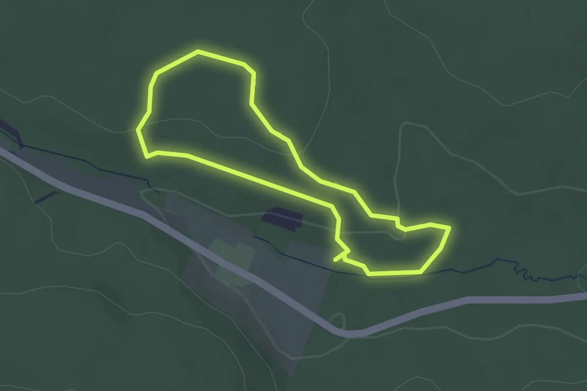
Easy · Trail
Walderlebnispfad Guttenberg
2.0 km · ↑ 38 m · 35 min
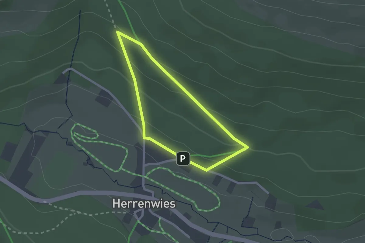
Easy · Trail
Walderlebnispfad Herrenwies
1.7 km · ↑ 73 m · 35 min
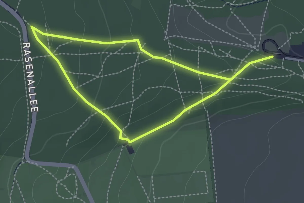
Medium · Trail
Walderlebnispfad Hessenschanze
1.9 km · ↑ 55 m · 36 min
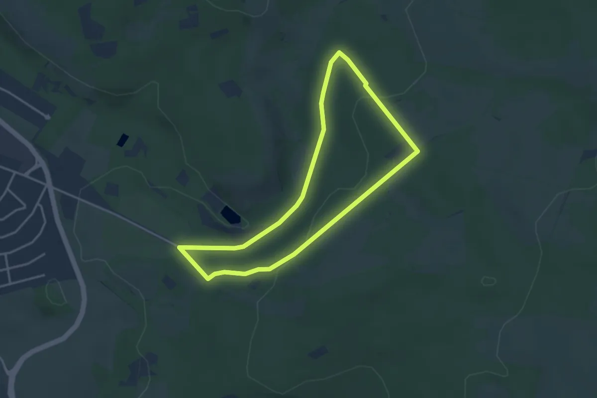
Easy · Trail
Walderlebnispfad Höhr-Grenzhausen
2.9 km · ↑ 47 m · 50 min
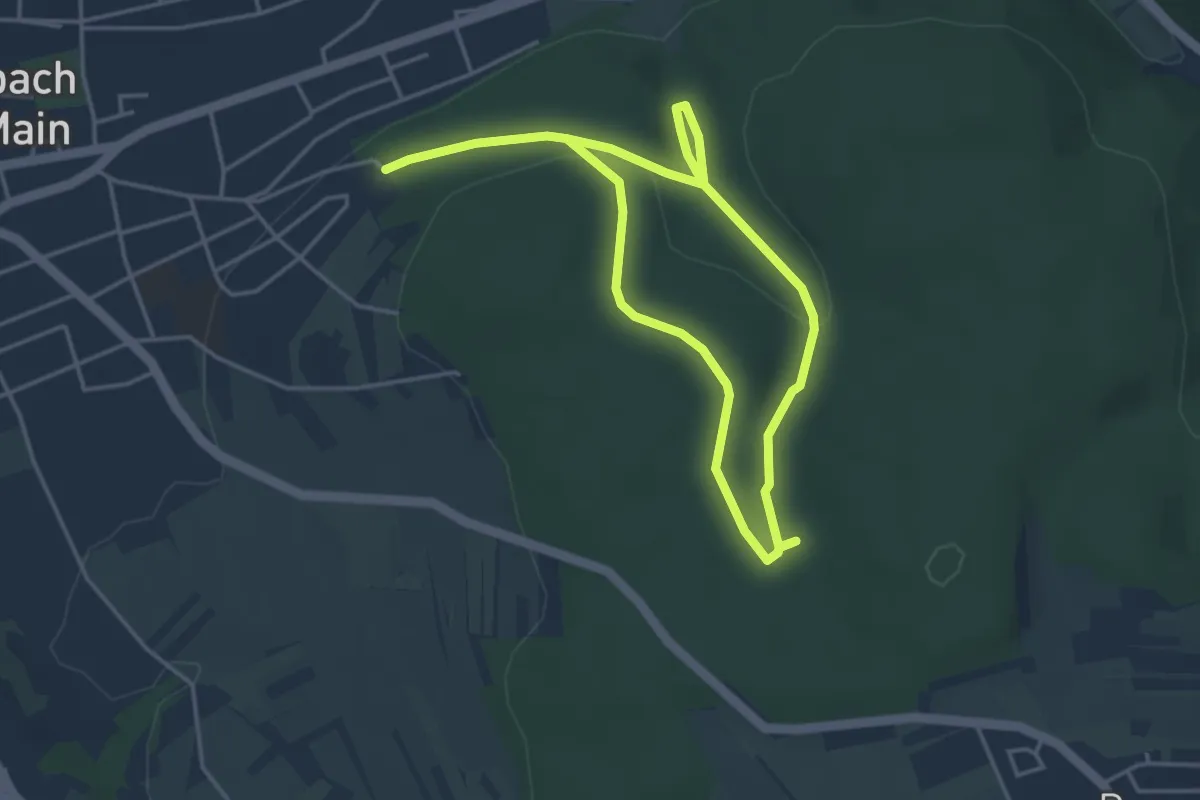
Easy · Trail
Walderlebnispfad Hutmannswald
3.2 km · ↑ 45 m · 55 min
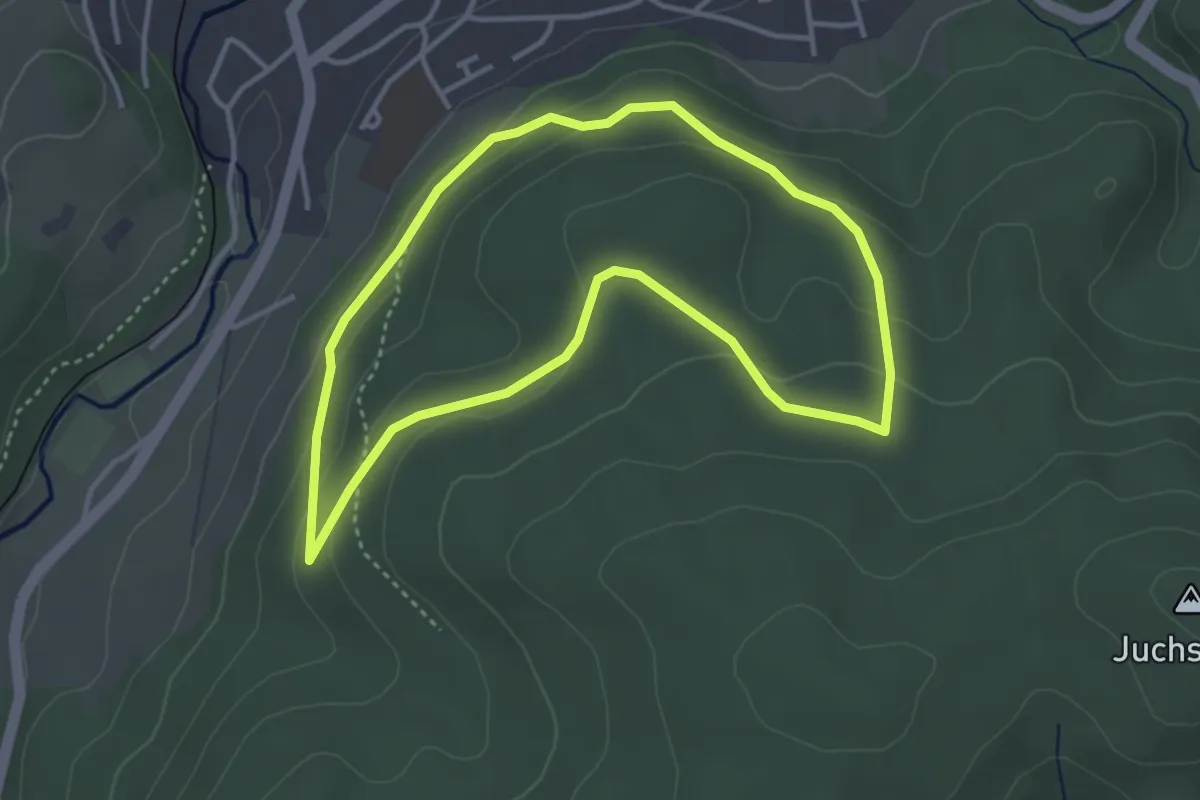
Easy · Trail
Walderlebnispfad Kandern
3.4 km · ↑ 116 m · 1 h 6 min
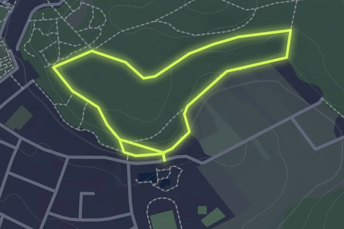
Easy · Trail
Walderlebnispfad "Klaus die Fledermaus"
1.9 km · ↑ 21 m · 32 min
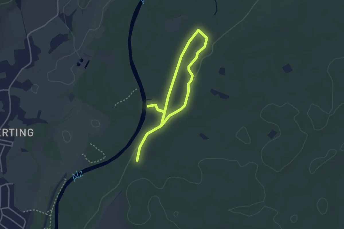
Easy · Trail
Walderlebnispfad Klosterau
4.4 km · ↑ 51 m · 1 h 9 min
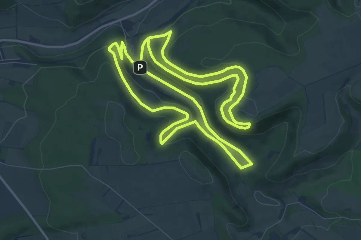
Medium · Trail
Walderlebnis-Pfad (Naturerbe Wanderwelt Altenbeken)
9.5 km · ↑ 333 m · 3 h 5 min
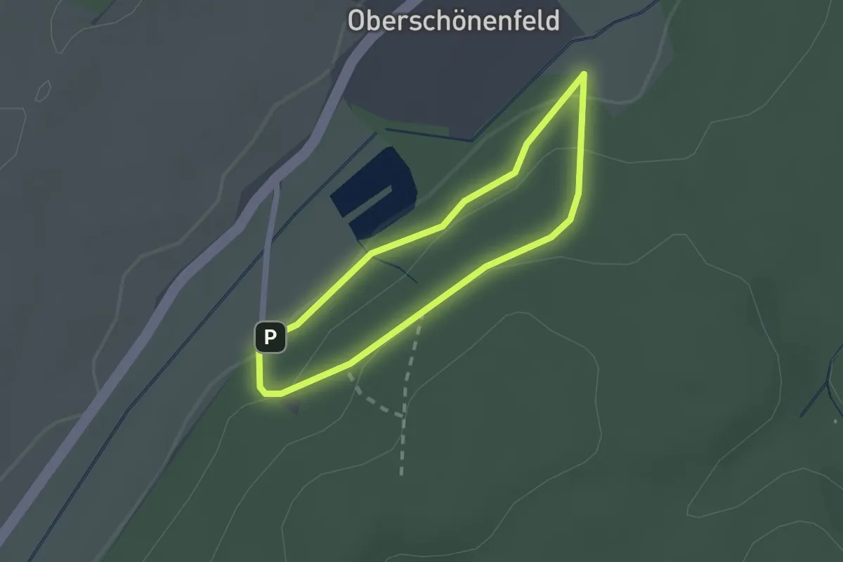
Easy · Trail
Walderlebnispfad Oberschönenfeld
1.5 km · ↑ 44 m · 28 min
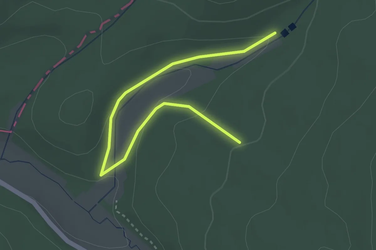
Easy · Trail
Walderlebnispfad "Palmbachtal"
1.6 km · ↑ 36 m · 28 min
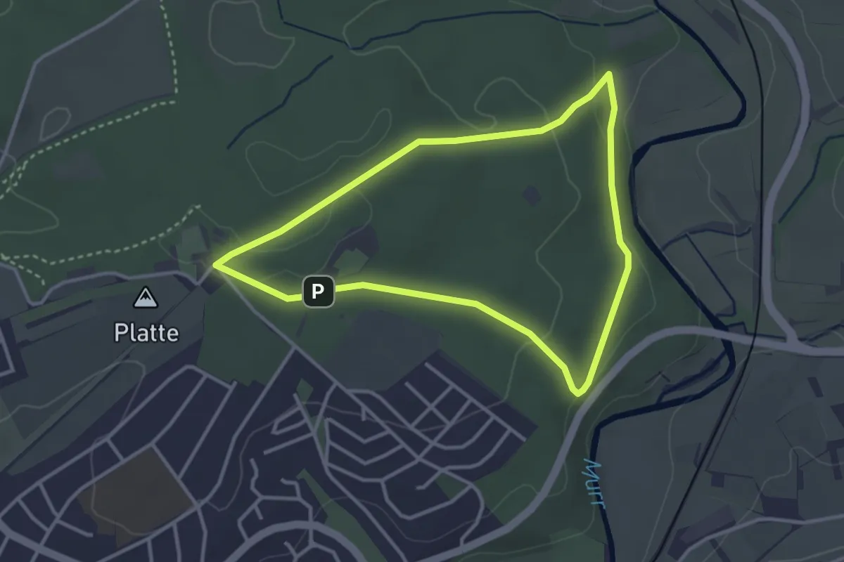
Easy · Trail
Walderlebnispfad Plattenwald
3.0 km · ↑ 49 m · 51 min
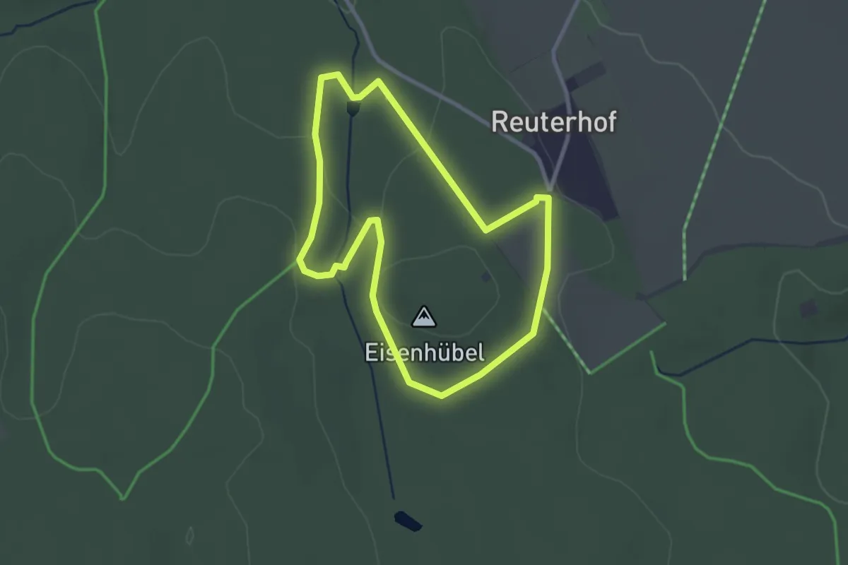
Easy · Summit
Walderlebnispfad Reinhardtsdorf
2.4 km · ↑ 49 m · 42 min
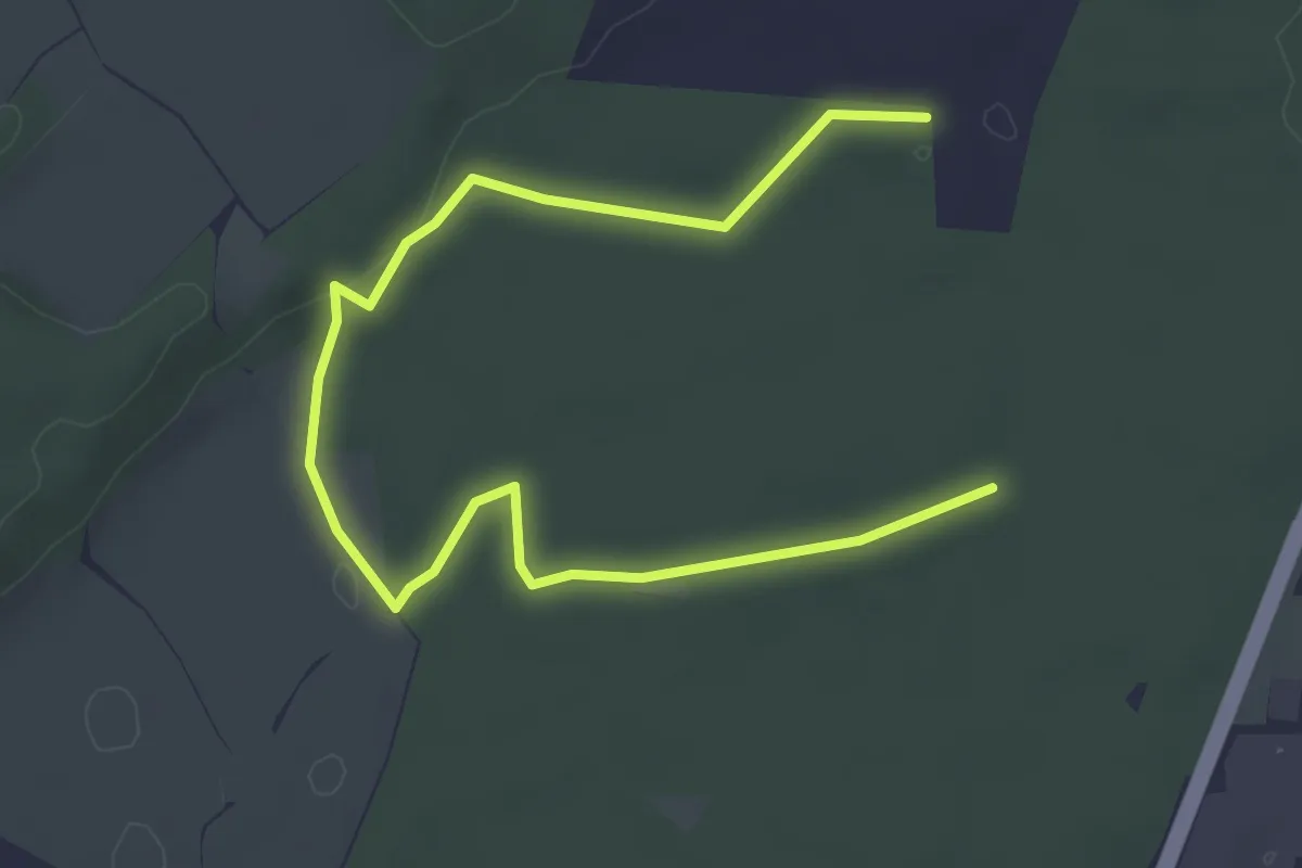
Easy · Trail
Walderlebnispfad Rothschwaiger Forst
5.4 km · ↑ 72 m · 1 h 26 min
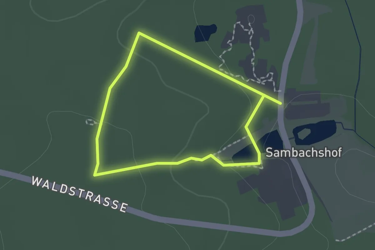
Easy · Trail
Walderlebnispfad Sambachshof
1.3 km · ↑ 24 m · 23 min
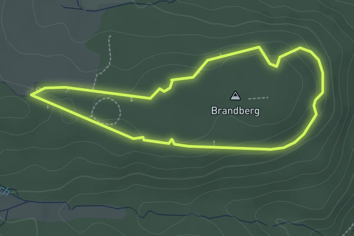
Easy · Summit
Walderlebnispfad Spessart
2.3 km · ↑ 36 m · 39 min
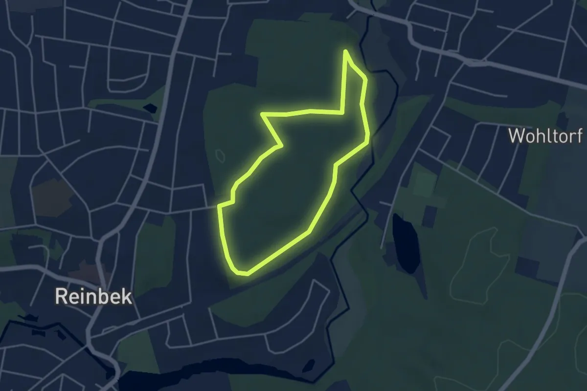
Easy · Trail
Walderlebnispfad Staatsforst Trittau
3.0 km · ↑ 31 m · 49 min
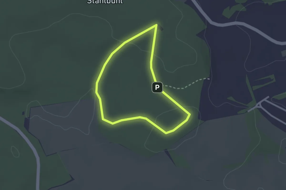
Easy · Trail
Walderlebnispfad Stahlbühl
1.9 km · ↑ 34 m · 33 min
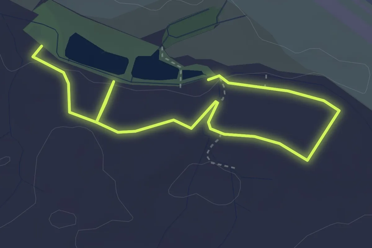
Easy · Trail
Walderlebnispfad Talwald
4.7 km · ↑ 108 m · 1 h 20 min
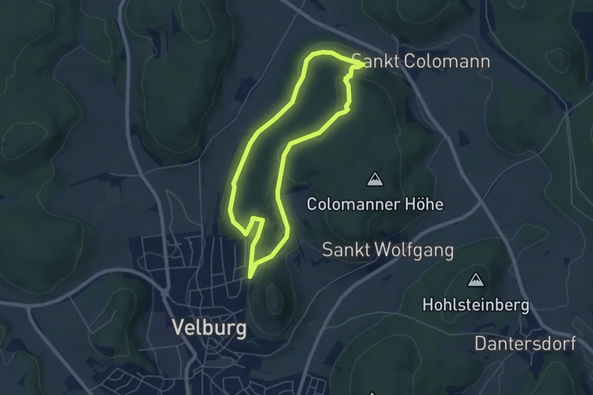
Easy · Summit
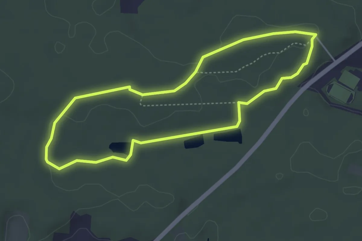
Walderlebnispfad Velburg
4.5 km · ↑ 123 m · 1 h 24 min
Easy · Trail
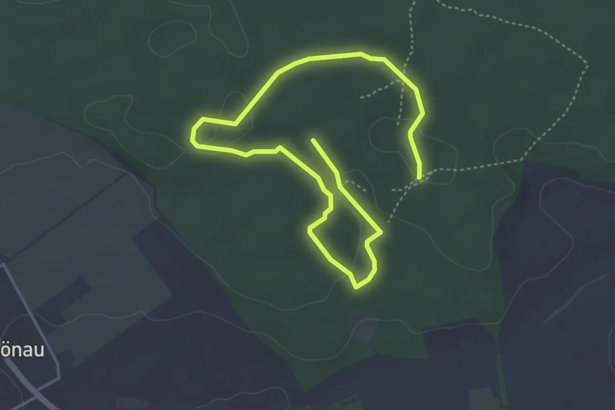
Walderlebnispfad Wagensass
3.8 km · ↑ 23 m · 1 h
Easy · Trail
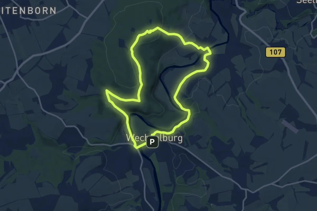
Walderlebnispfad Walderlebniszentrum Schernfeld
3.0 km · ↑ 37 m · 49 min
Medium · Summit
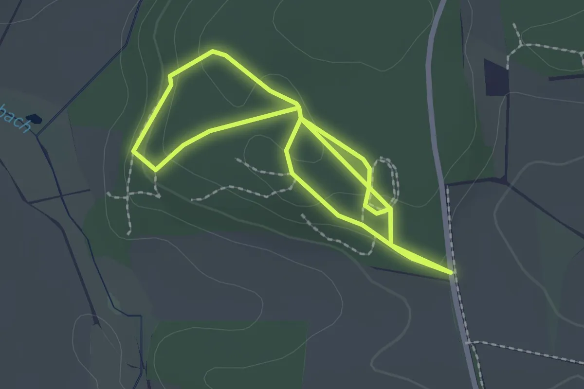
Walderlebnispfad Wechselburg
9.2 km · ↑ 240 m · 2 h 49 min
Easy · Trail
Walderlebnispfad Weichs
1.8 km · ↑ 43 m · 32 min
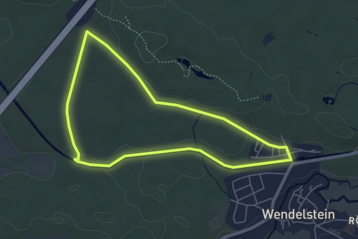
Easy · Trail
Walderlebnispfad Wendelstein
4.2 km · ↑ 36 m · 1 h 7 min
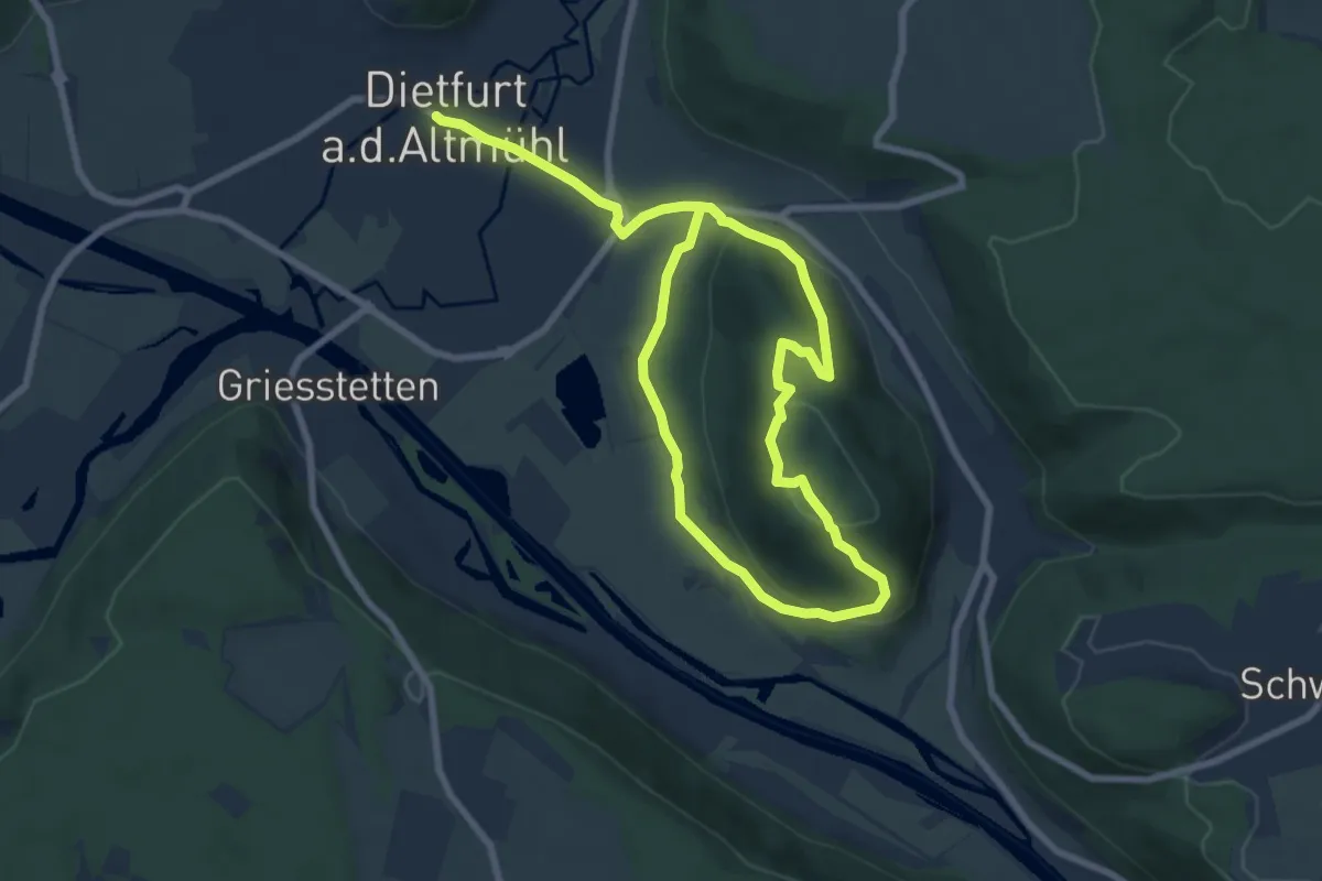
Easy · Summit
Walderlebnispfad Wolfsberg
6.0 km · ↑ 163 m · 1 h 51 min
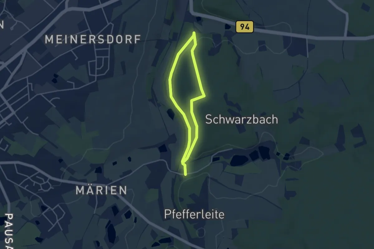
Easy · Trail
Walderlebnispfad Zeulenroda
2.7 km · ↑ 91 m · 52 min
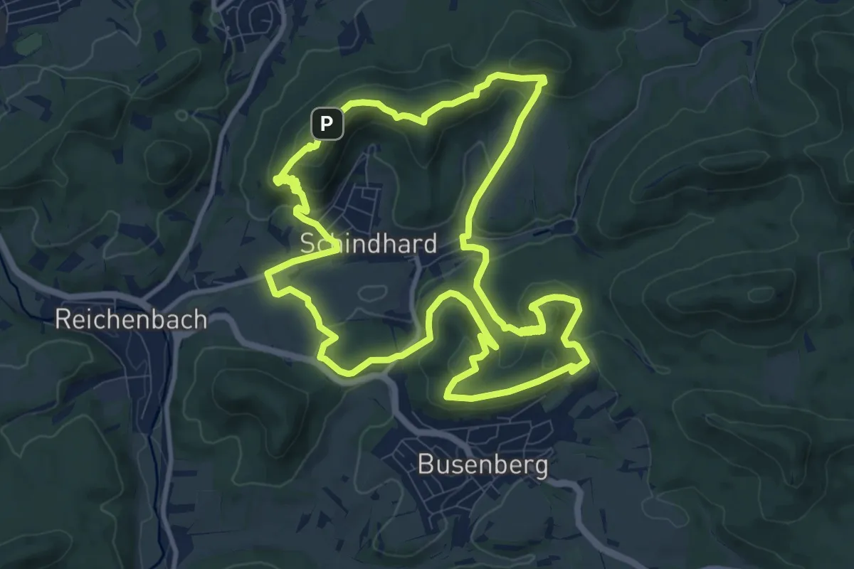
Medium · Summit
Wald-Erlebnisweg
10.2 km · ↑ 449 m · 3 h 31 min
Easy · Trail
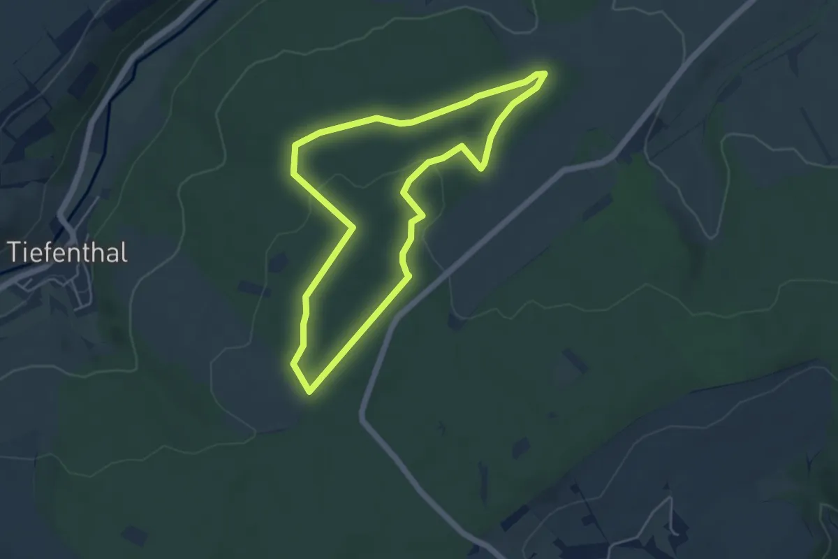
Walderlebnisweg 2
4.2 km · ↑ 41 m · 1 h 8 min
Easy · Summit
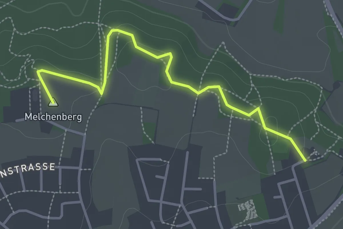
Walderlebnisweg Groß Reken
3.0 km · ↑ 51 m · 49 min
Easy · Trail
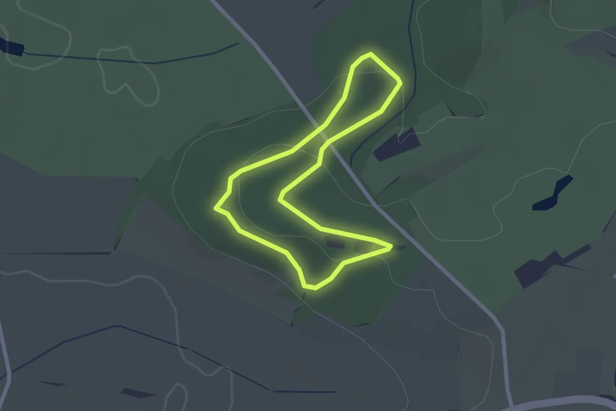
Walderlebnisweg Hechingen
1.8 km · ↑ 31 m · 31 min
Easy · Trail
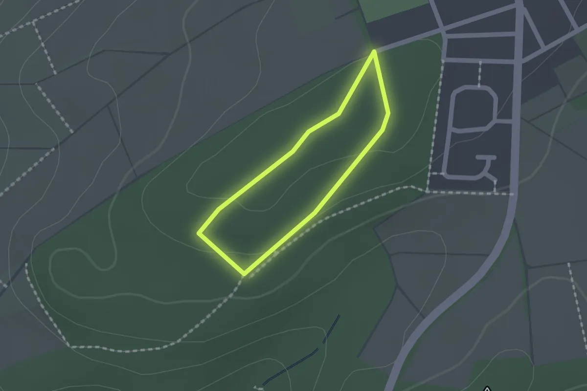
Walderlebnisweg Heilberscheid
1.1 km · ↑ 18 m · 19 min
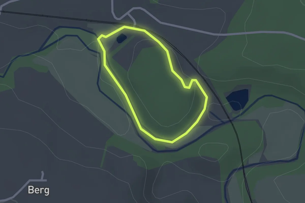
Easy · Trail
Walderlebnisweg Schweinmühle
1.5 km · ↑ 15 m · 25 min
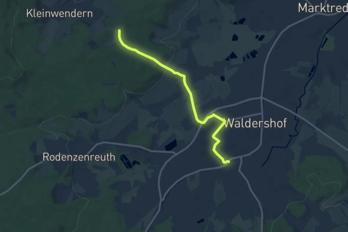
Easy · Trail
Waldershof - Kleinwendern
7.7 km · ↑ 126 m · 2 h 6 min
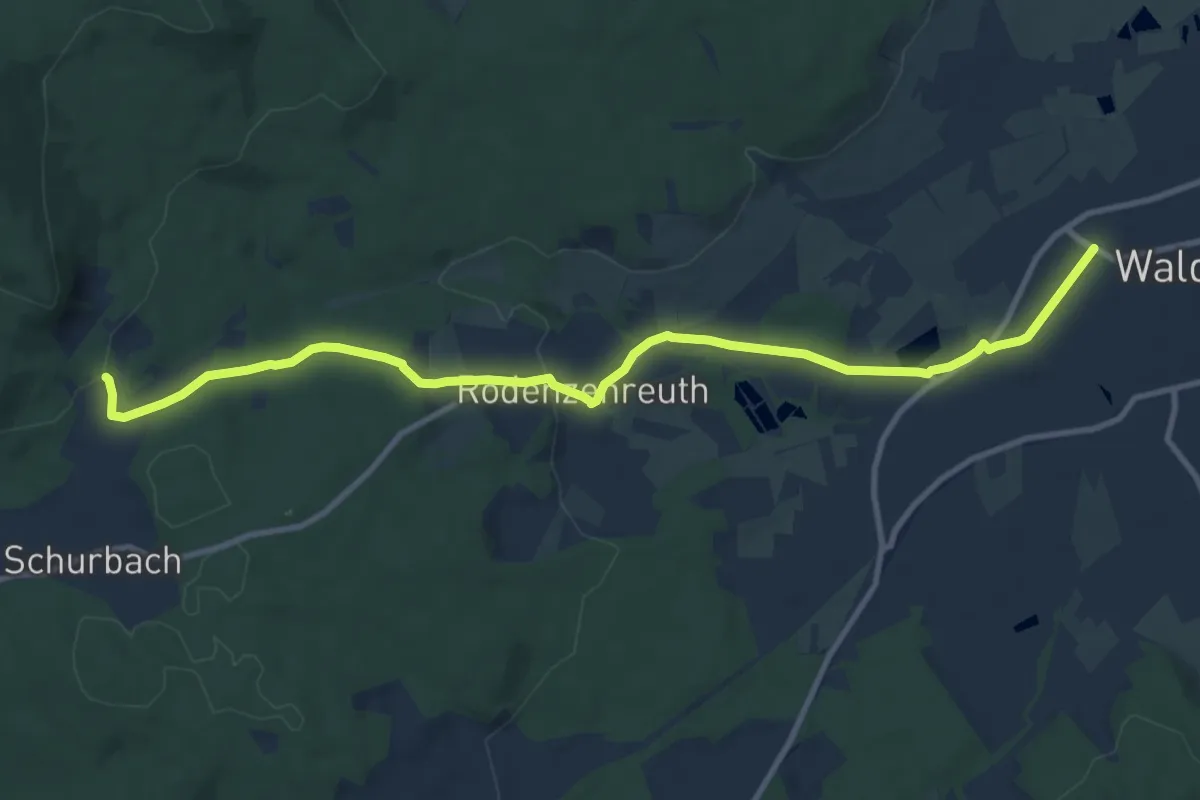
Medium · Trail
Waldershof-Kössain
11.0 km · ↑ 202 m · 3 h 2 min
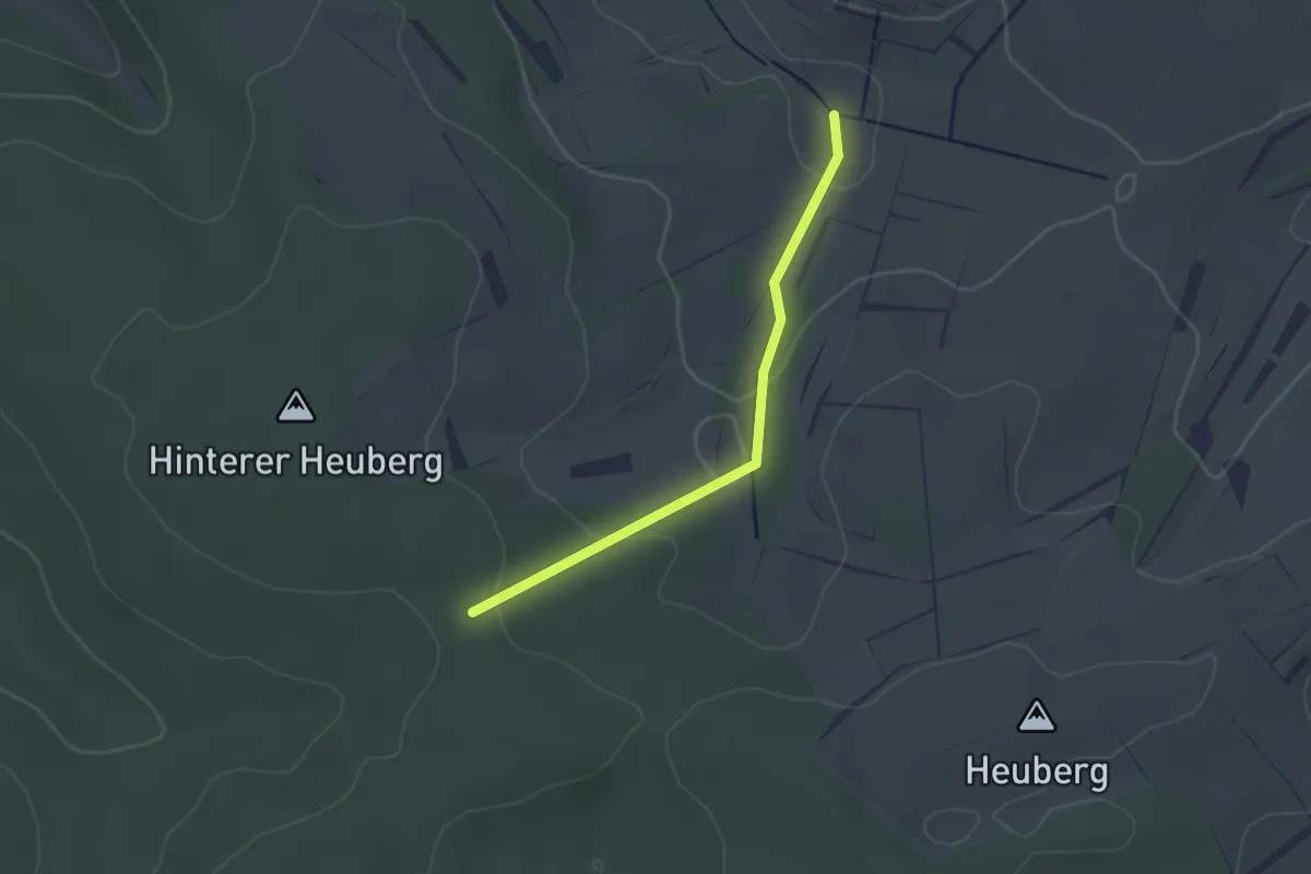
Easy · Trail
Waldersteig - Mauertal
2.2 km · ↑ 61 m · 39 min
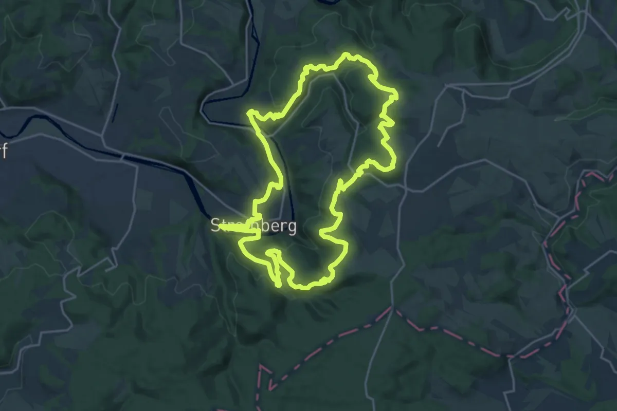
Demanding · Trail
Wälderweg (Erlebnisweg Sieg Nr. 12)
18.2 km · ↑ 524 m · 5 h 40 min
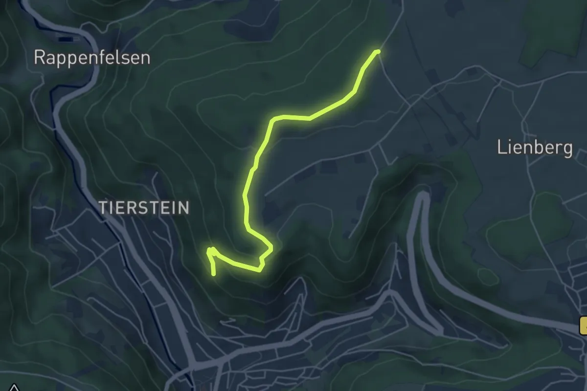
Easy · Trail
Waldeslust - Paradiesberg
4.6 km · ↑ 175 m · 1 h 27 min
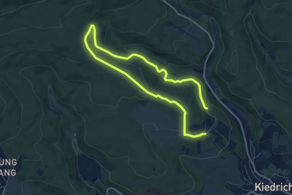
Medium · Trail
Wald.Expert
10.5 km · ↑ 344 m · 3 h 13 min
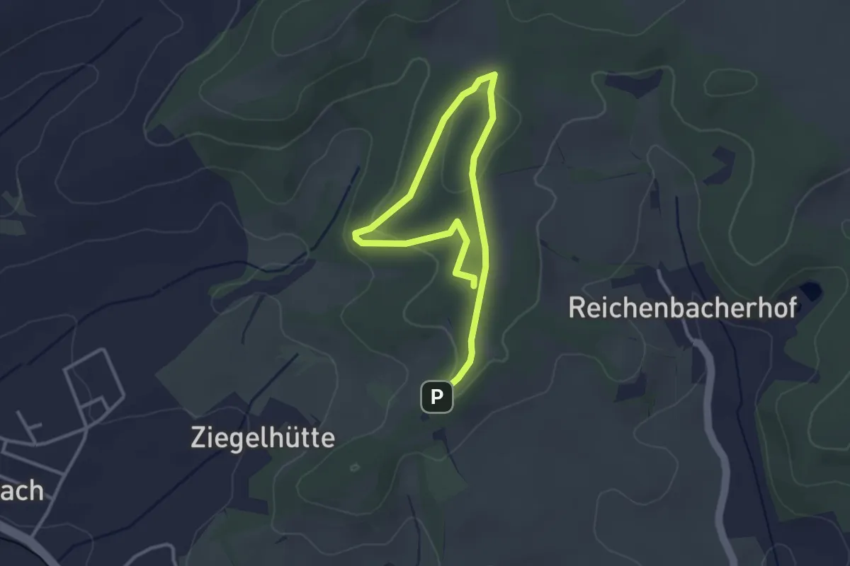
Easy · Trail
Waldforscherpfad
2.1 km · ↑ 69 m · 39 min