Trails in Germany
36,852 hiking trails, each with its route, climb, walking time and grade.
All trails, page 671 of 768
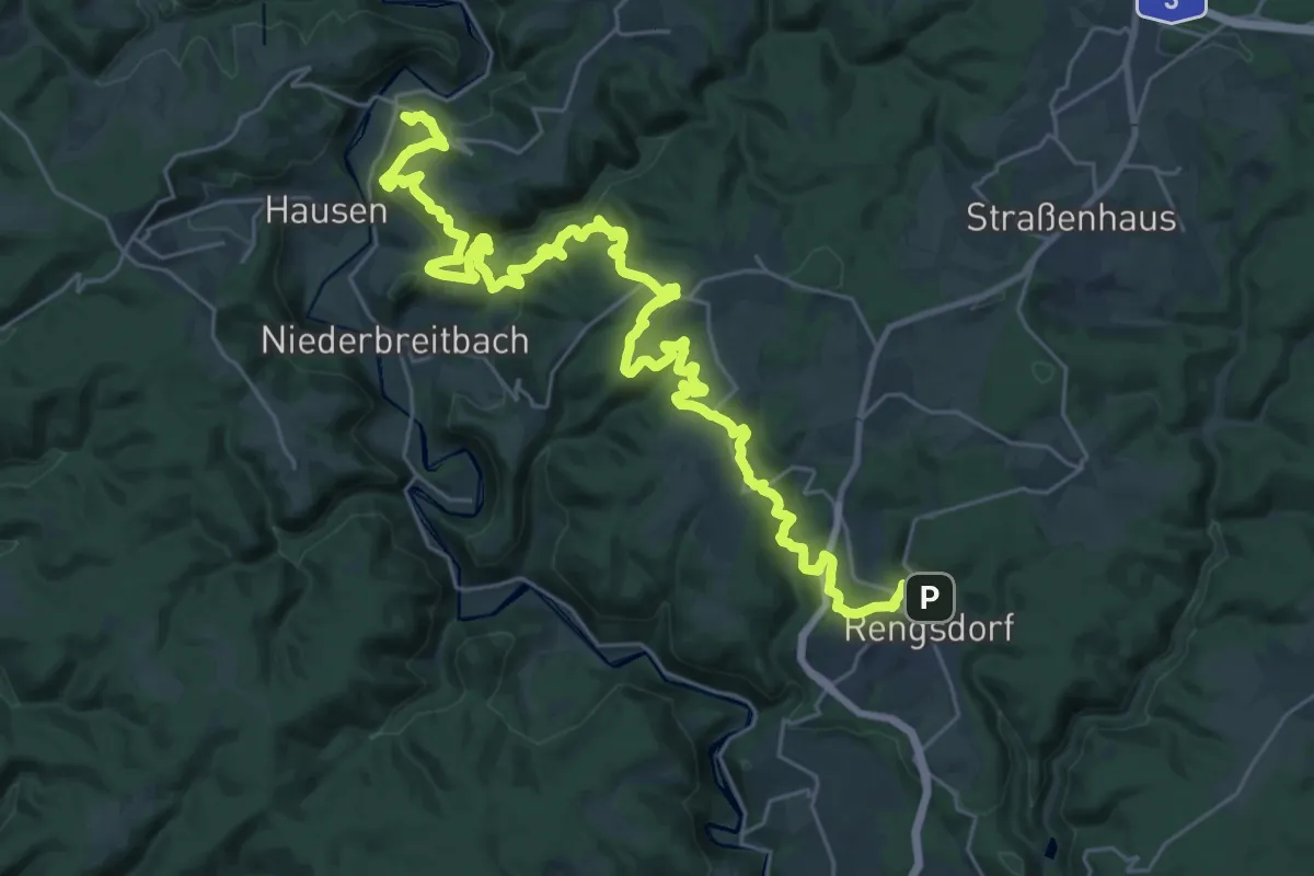
Medium · Trail
Wäller Tour Klosterweg
17.7 km · ↑ 545 m · 5 h 42 min
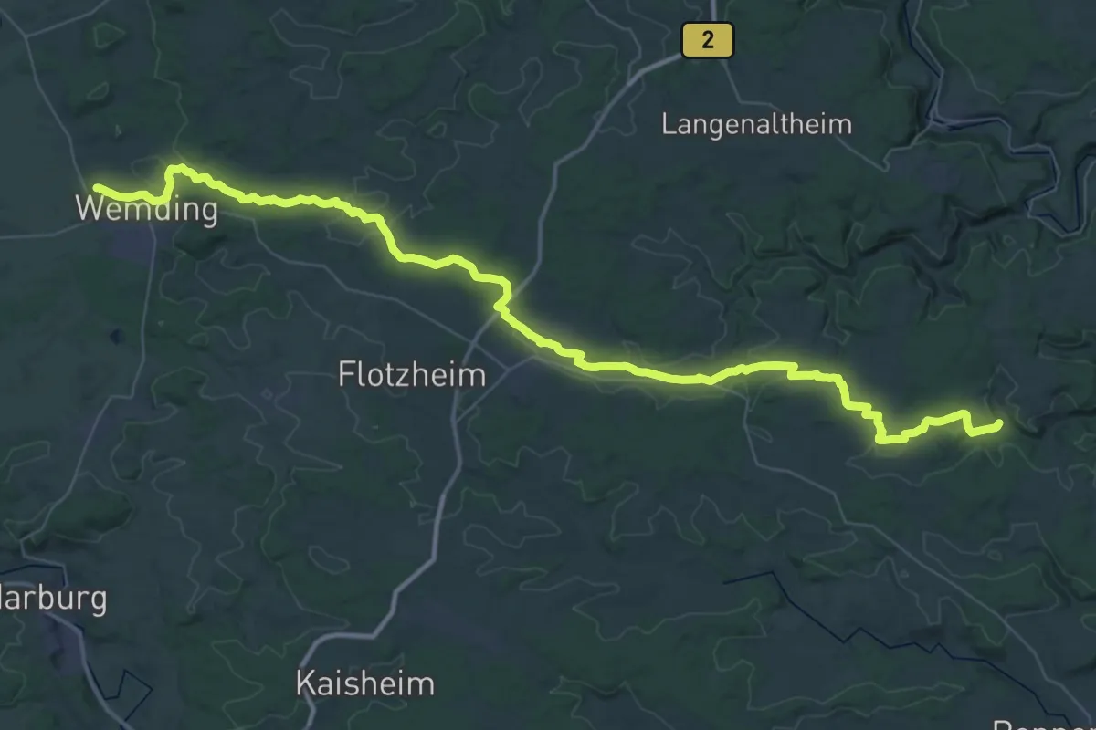
Demanding · Trail
Wallfahrerweg
29.5 km · ↑ 331 m · 8 h 6 min
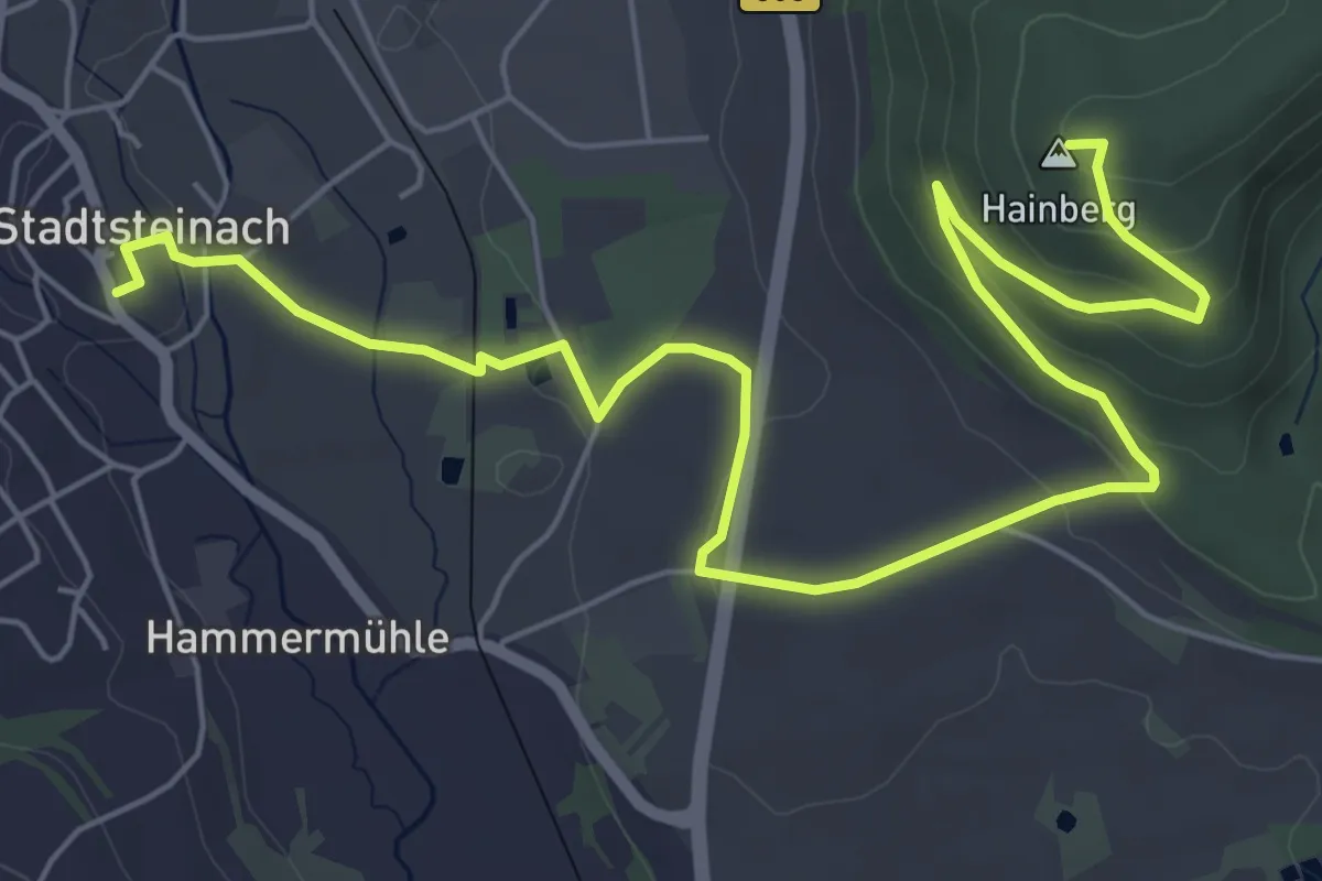
Easy · Summit
Wallfahrer-Weg
7.8 km · ↑ 204 m · 2 h 17 min
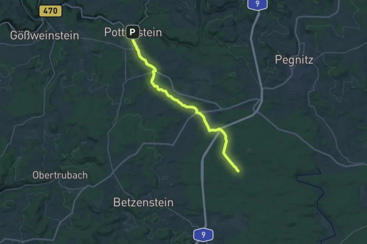
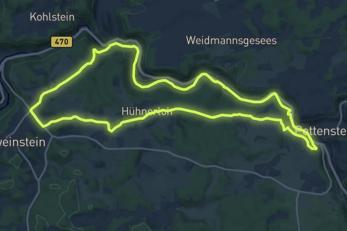
Demanding · Trail
Wallfahrerweg Hufeisen - Pottenstein
25.0 km · ↑ 326 m · 6 h 36 min
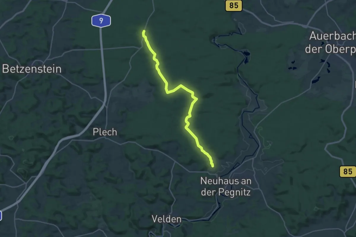
Demanding · Trail
Wallfahrerweg Neuhaus - Hufeisen
19.1 km · ↑ 362 m · 5 h 17 min
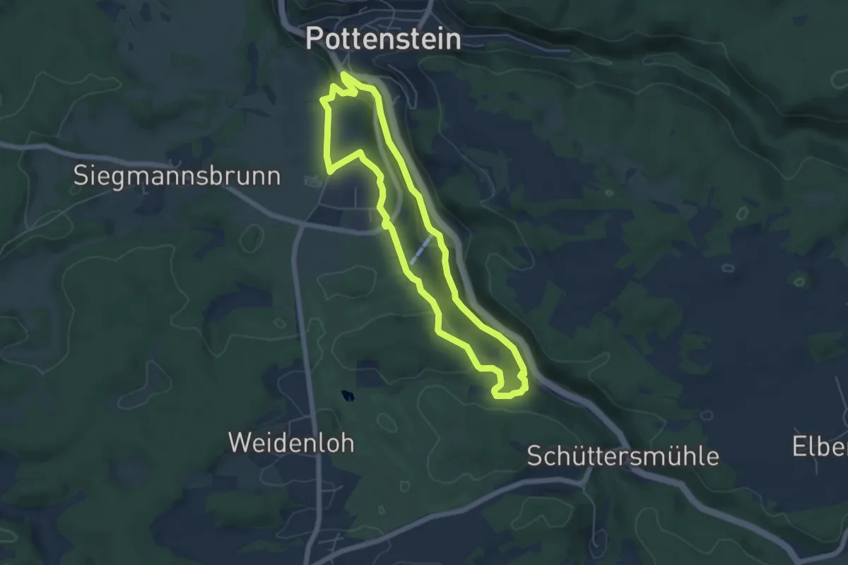
Medium · Trail
Wallfahrerweg PW1
12.3 km · ↑ 253 m · 3 h 37 min
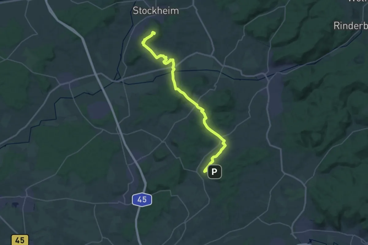
Easy · Trail
Wallfahrerweg PW2
4.9 km · ↑ 102 m · 1 h 27 min
Demanding · Summit
Wallfahrtsweg
27.3 km · ↑ 644 m · 7 h 50 min
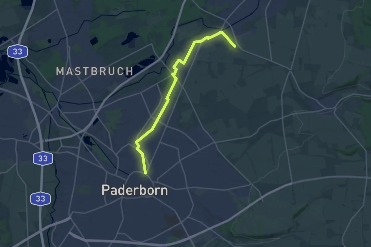
Easy · Pilgrim path
Wallfahrtsweg
7.6 km · ↑ 9 m · 1 h 56 min
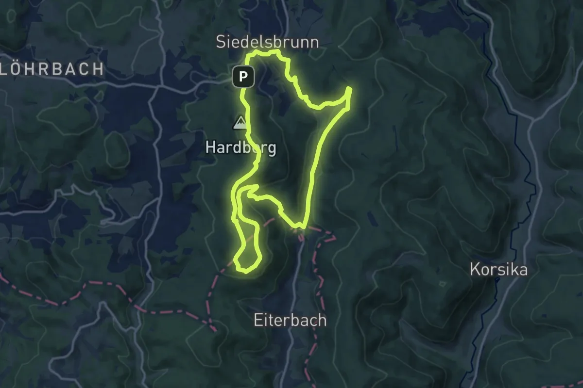
Medium · Summit
Wallfahrtsweg Lichtenklingen
11.6 km · ↑ 370 m · 3 h 42 min
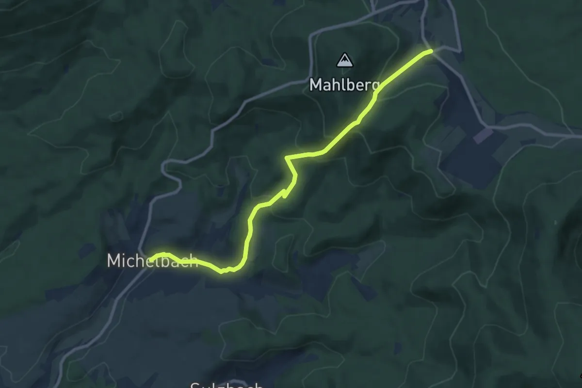
Medium · Trail
Wallfahrtsweg Michelbach - Moosbronn
8.3 km · ↑ 417 m · 2 h 52 min
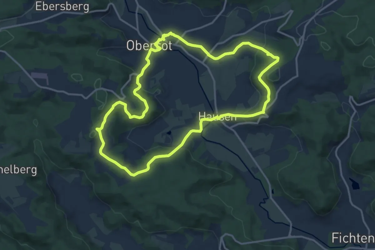
Medium · Trail
Wallfahrtsweg Stielberg
10.2 km · ↑ 275 m · 3 h 9 min
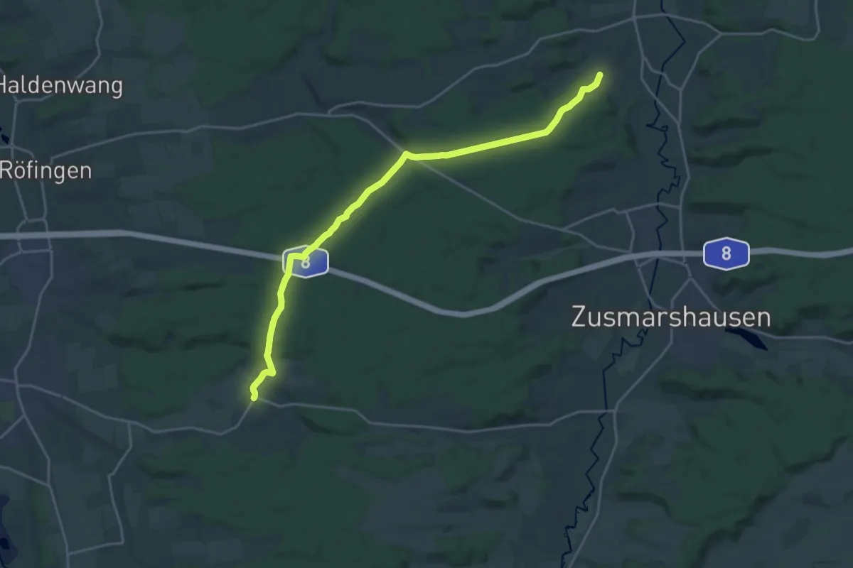
Demanding · Trail
Wallfahrtsweg Violau
19.8 km · ↑ 290 m · 5 h 18 min
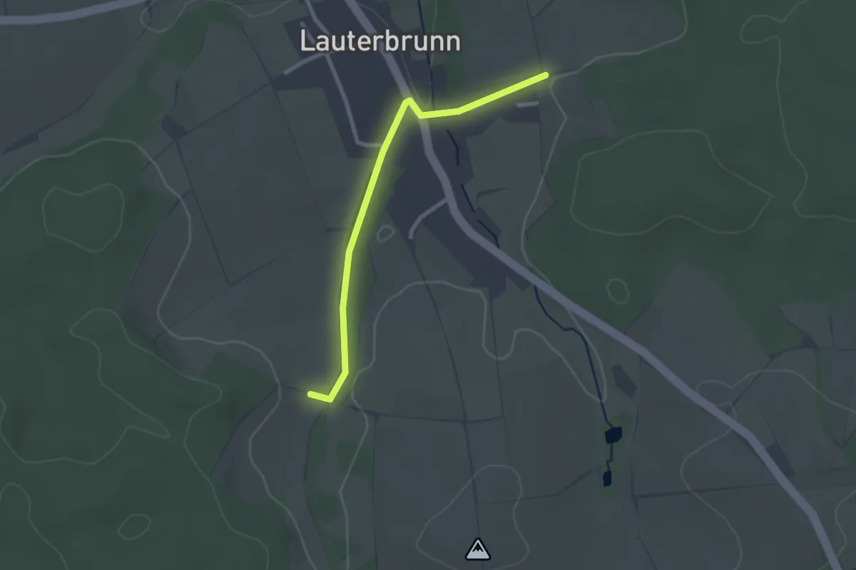
Easy · Trail
Wallfahrtsweg Violau-Biberbach
2.3 km · ↑ 25 m · 36 min
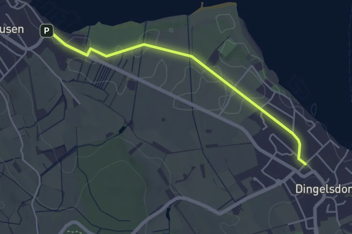
Easy · Trail
Wallhausen Hafen - Dingelsdorf Zur Mühle
3.7 km · ↑ 15 m · 55 min
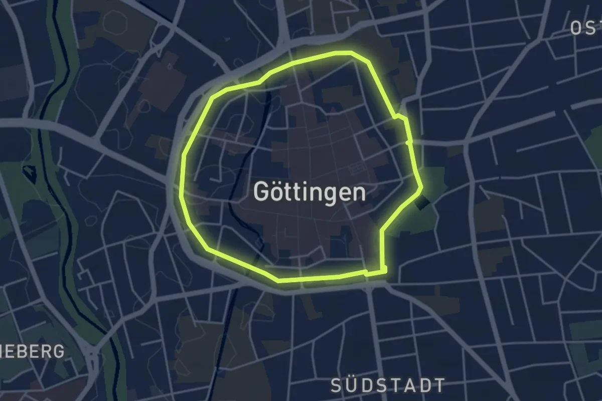
Easy · Trail
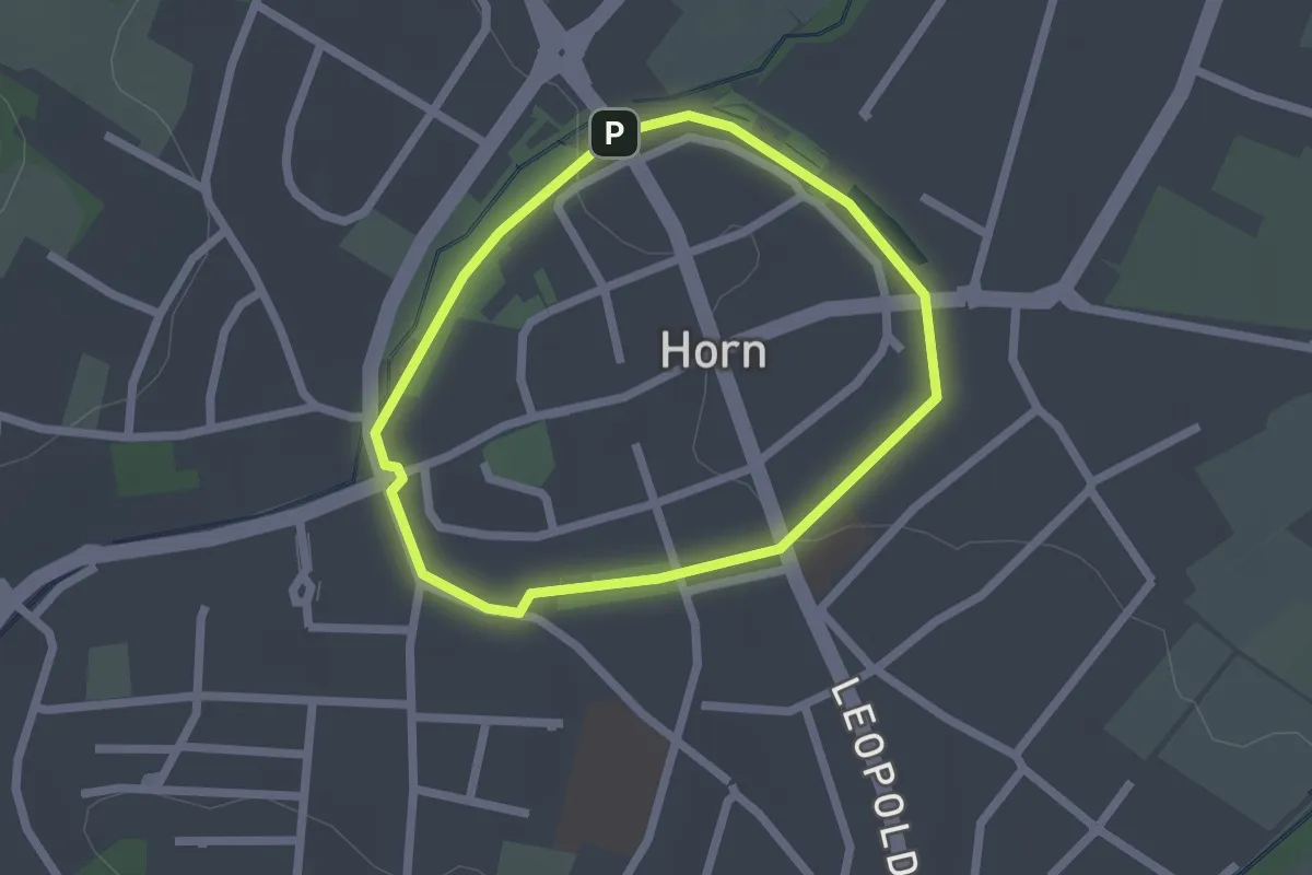
Wallrunde
3.2 km · ↑ 13 m · 50 min
Easy · Trail
Wallrundweg
1.6 km · ↑ 4 m · 24 min
Easy · Trail
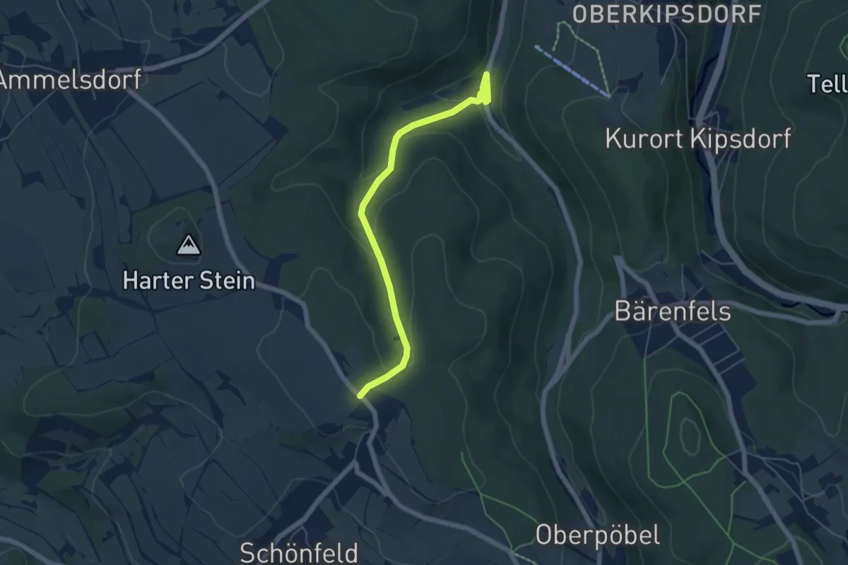
Walschkenweg
7.3 km · ↑ 26 m · 1 h 46 min
Easy · Trail
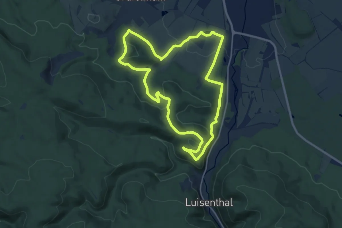
Walsmühle - Schönfeld
5.1 km · ↑ 163 m · 1 h 33 min
Medium · Summit
Walter Schütz Rundweg
11.2 km · ↑ 324 m · 3 h 30 min
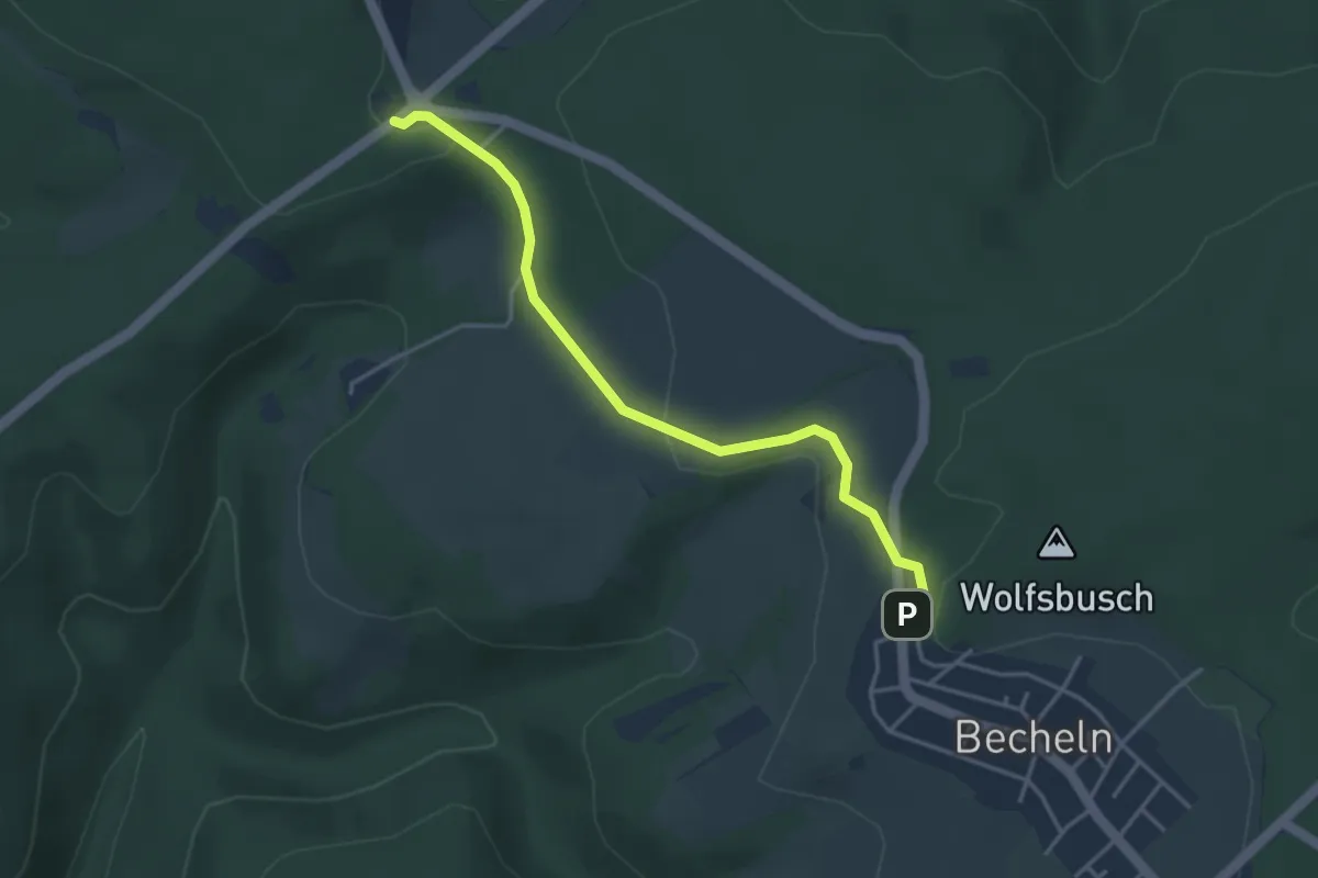
Easy · Trail
Walter-Schweter-Weg
3.5 km · ↑ 107 m · 1 h 4 min
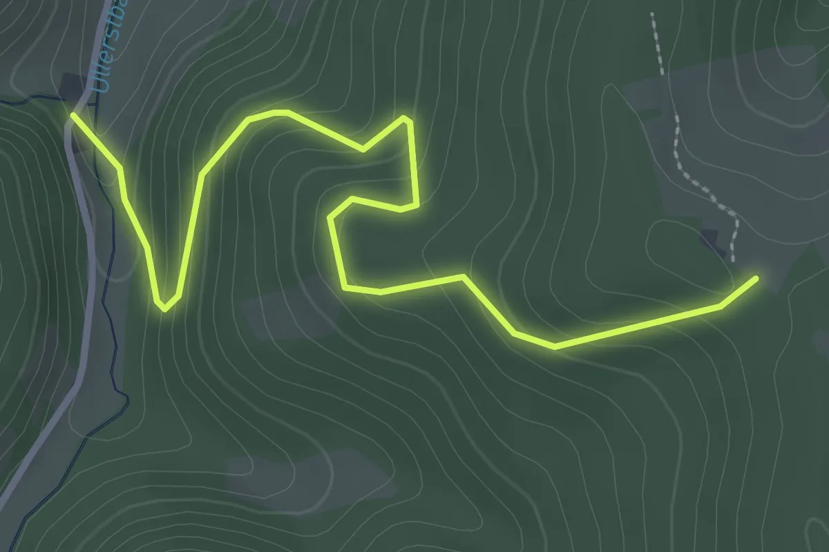
Easy · Trail
Waltershof - Fleischdielte
3.3 km · ↑ 214 m · 1 h 14 min
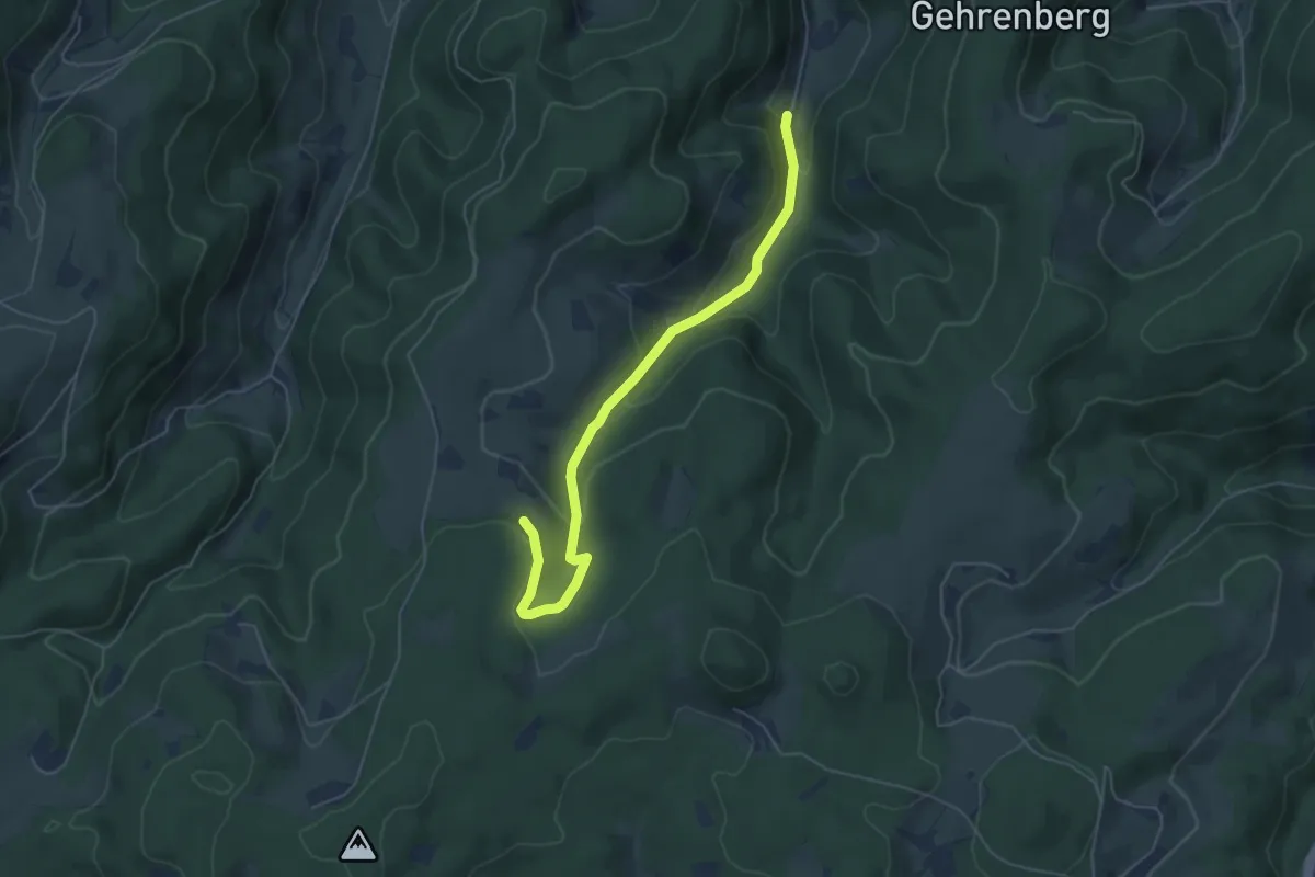
Easy · Trail
Waltershof - Neuematte
5.3 km · ↑ 229 m · 1 h 45 min
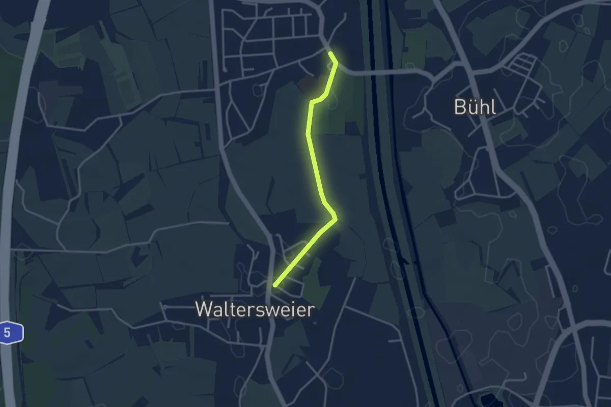
Easy · Trail
Waltersweier Ortsmitte - Weier Kirche
2.6 km · ↑ 4 m · 38 min
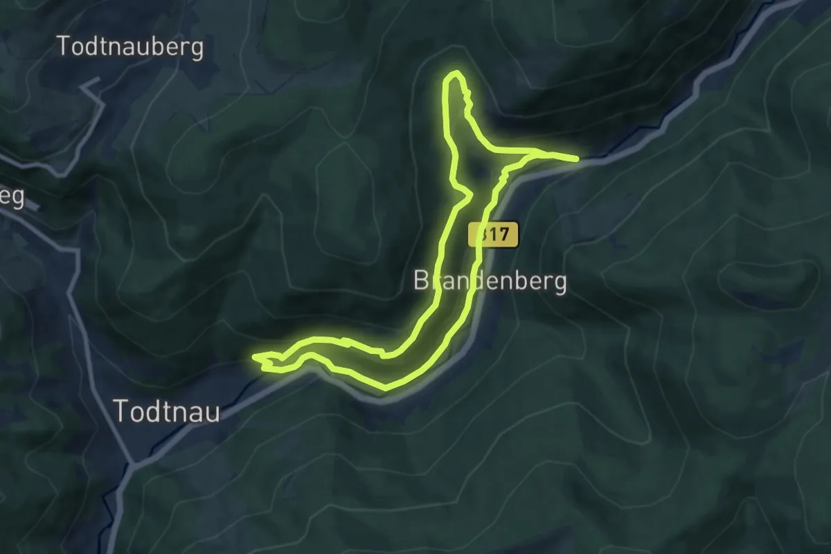
Medium · Trail
Walter-Wagner-Weg
7.6 km · ↑ 421 m · 2 h 49 min
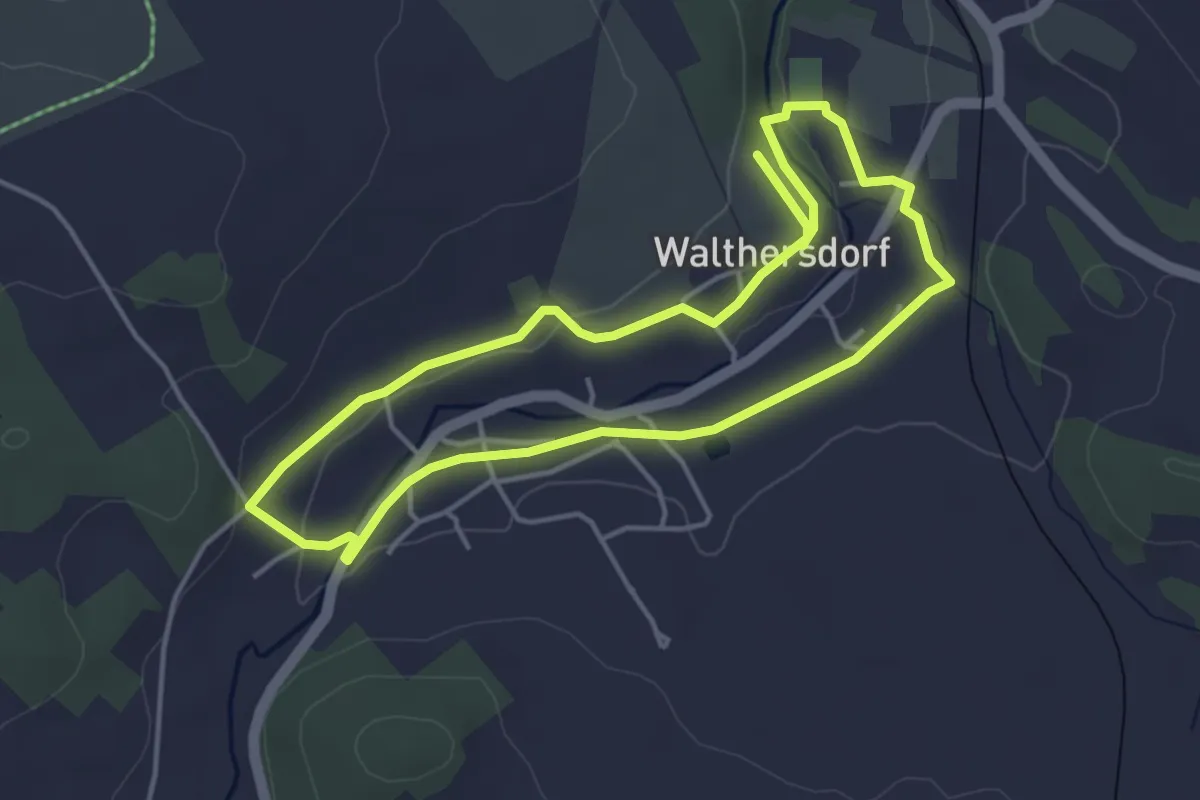
Easy · Trail
Walthersdorfer Sparrguschenwaag
3.7 km · ↑ 41 m · 1 h 1 min
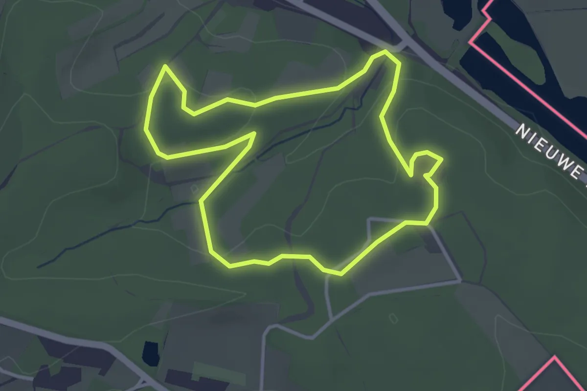
Easy · Trail
Wandelroute Duivelsberg
2.8 km · ↑ 84 m · 53 min
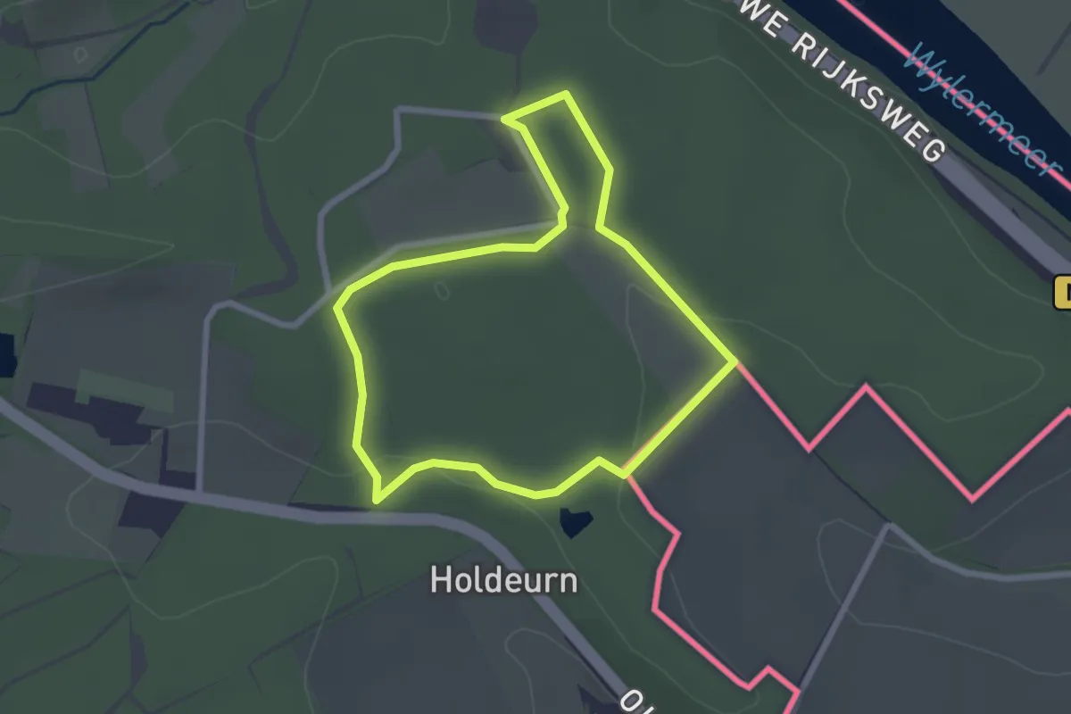
Easy · Summit
Wandelroute Grens
2.0 km · ↑ 34 m · 34 min
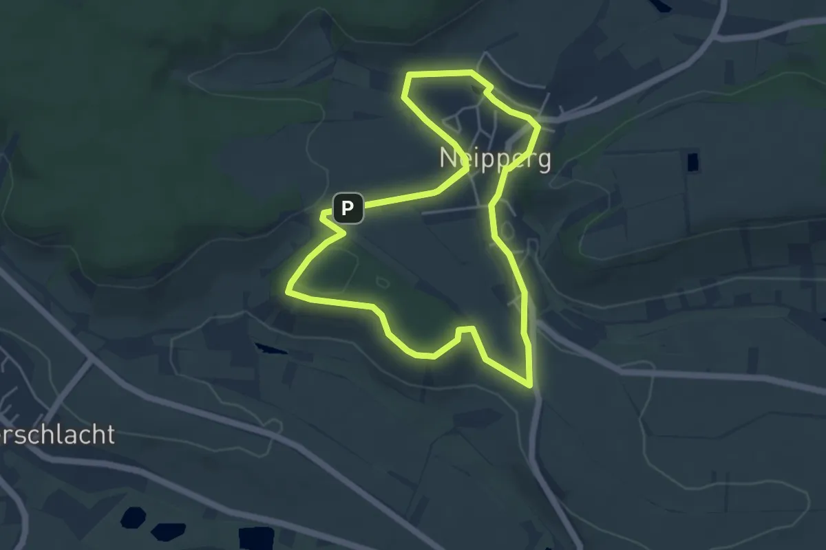
Easy · Summit
Wander3klang Brackenheim
4.6 km · ↑ 69 m · 1 h 18 min
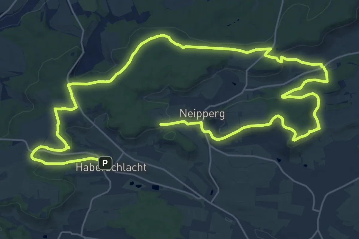
Medium · Summit
Wander3Klang Brackenheim
16.0 km · ↑ 353 m · 4 h 44 min
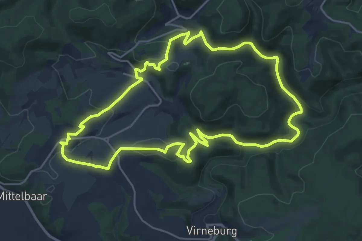
Medium · Trail
Wanderather
12.0 km · ↑ 332 m · 3 h 44 min
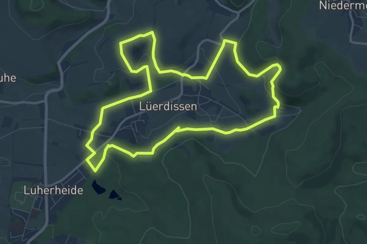
Medium · Summit
Wanderbares Lüerdissen
8.2 km · ↑ 210 m · 2 h 31 min
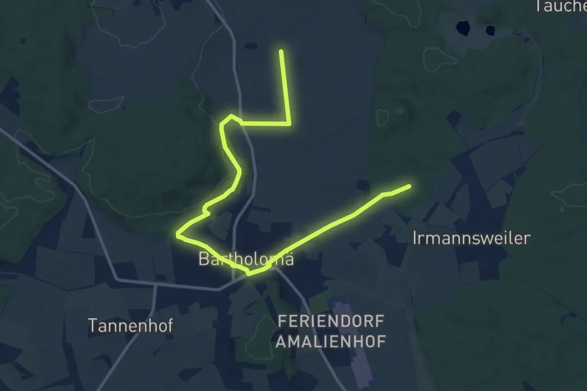
Easy · Trail
Wanderblume Nr.1 "Orchideenweg"
6.0 km · ↑ 96 m · 1 h 42 min
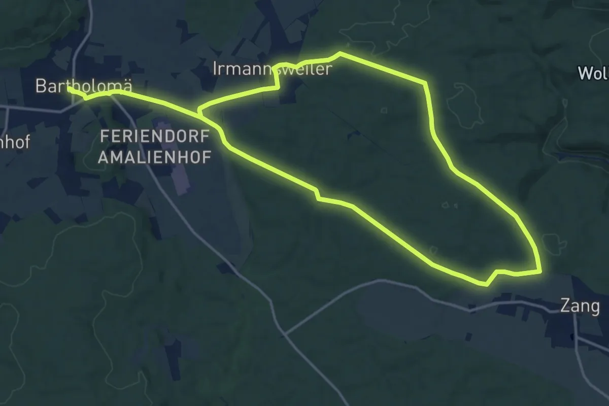
Medium · Trail
Wanderblume Nr.3 "Quellwiesenweg"
13.1 km · ↑ 197 m · 3 h 41 min
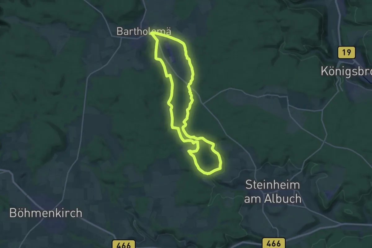
Medium · Trail
Wanderblume Nr.4 "Im Felsenmeer"
17.1 km · ↑ 200 m · 4 h 42 min
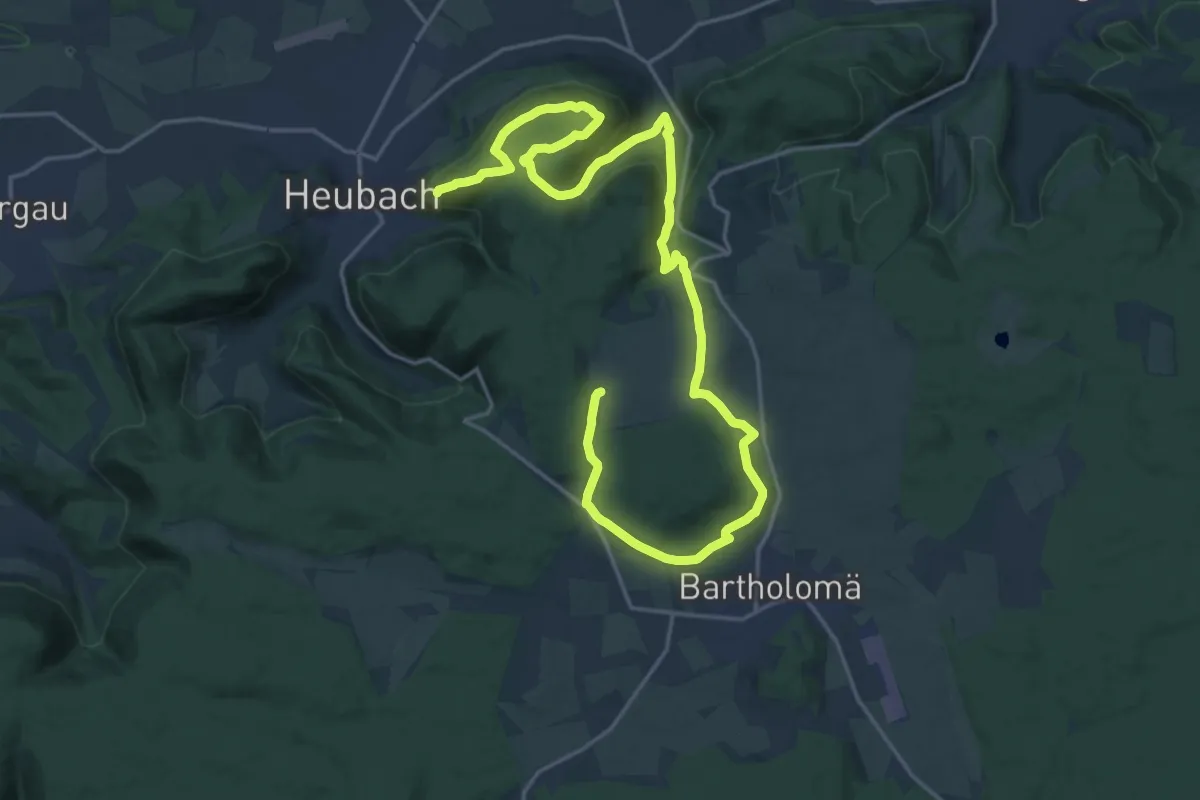
Medium · Summit
Wanderblume Nr.8 "Zum Rosenstein"
13.2 km · ↑ 378 m · 4 h 8 min
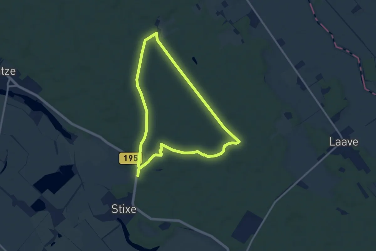
Easy · Trail
Wanderdünen-Weg
6.6 km · ↑ 17 m · 1 h 42 min
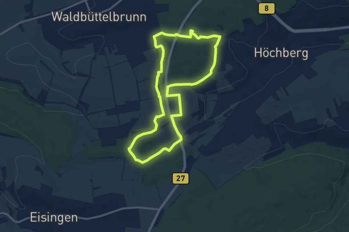
Easy · Trail
WanderErlebnis Höchberg
6.9 km · ↑ 112 m · 1 h 59 min
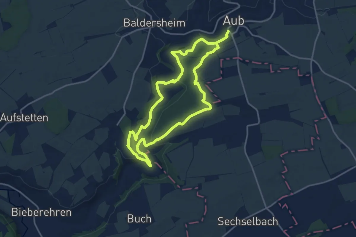
Medium · Trail
WanderErlebnisRoute Aub "GollachStaunen"
9.8 km · ↑ 206 m · 2 h 54 min
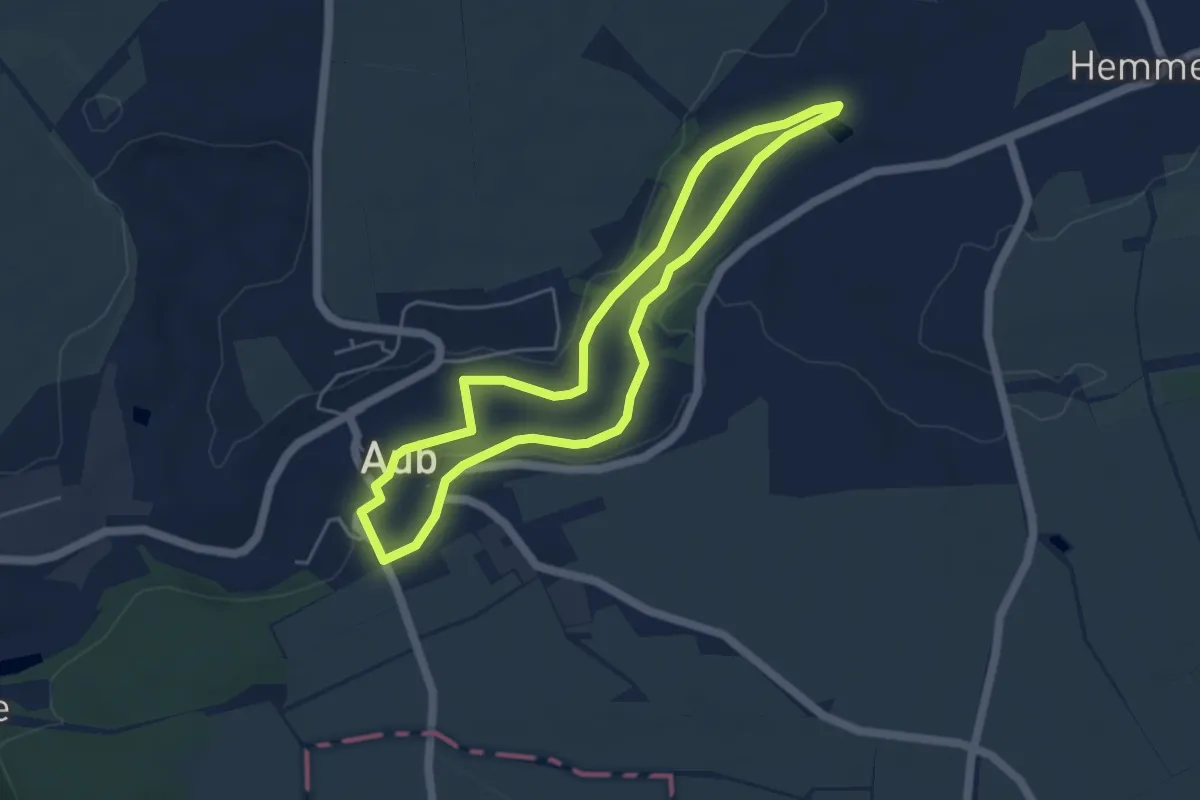
Easy · Trail
WanderErlebnisRoute Kultur;Aub Ost "Vom feurigen Hund zum Gollachgrund"
4.3 km · ↑ 29 m · 1 h 8 min
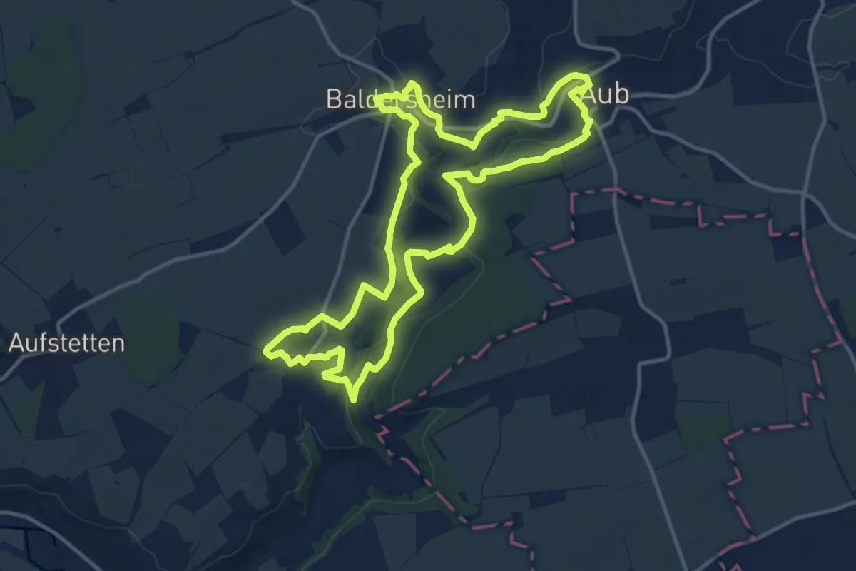
Medium · Trail
WanderErlebnisRoute Kultur;Aub West 'Vom feurigen Hund zum Gollachgrund'
11.9 km · ↑ 146 m · 3 h 17 min
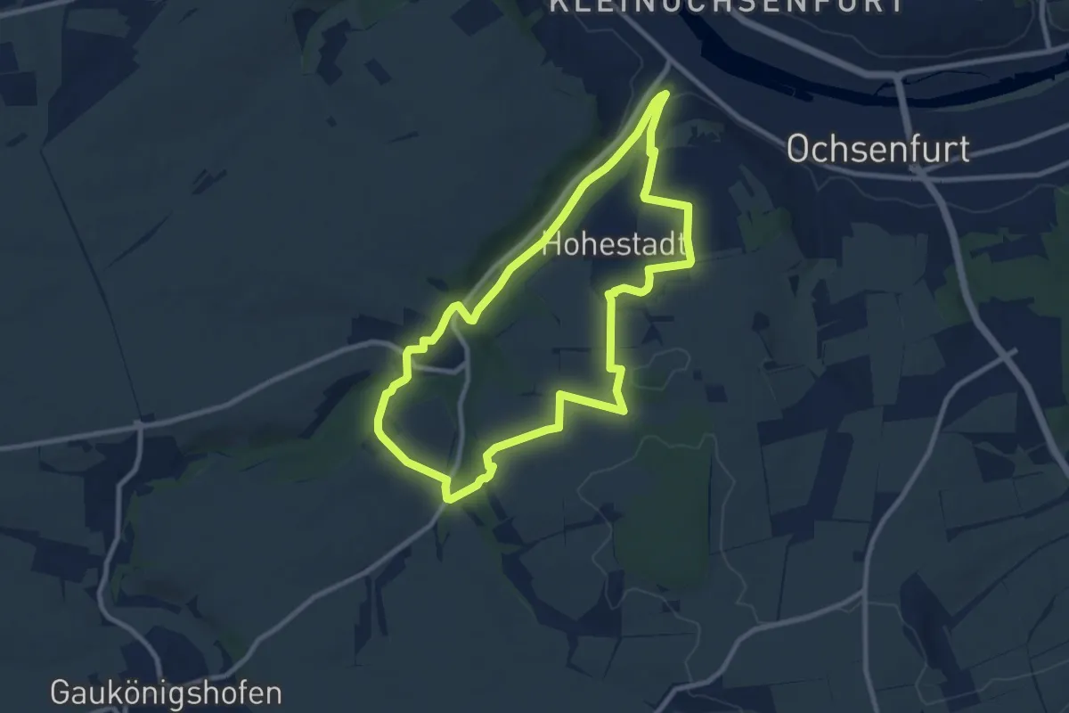
Medium · Trail
WanderErlebnisRoute Kultur - Thierbachtal Nordschleife
8.3 km · ↑ 162 m · 2 h 25 min
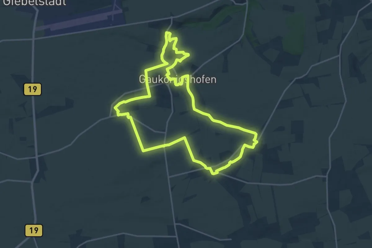
Medium · Trail
WanderErlebnisRoute Kultur;Thierbachtal Südschleife
15.7 km · ↑ 111 m · 4 h 10 min
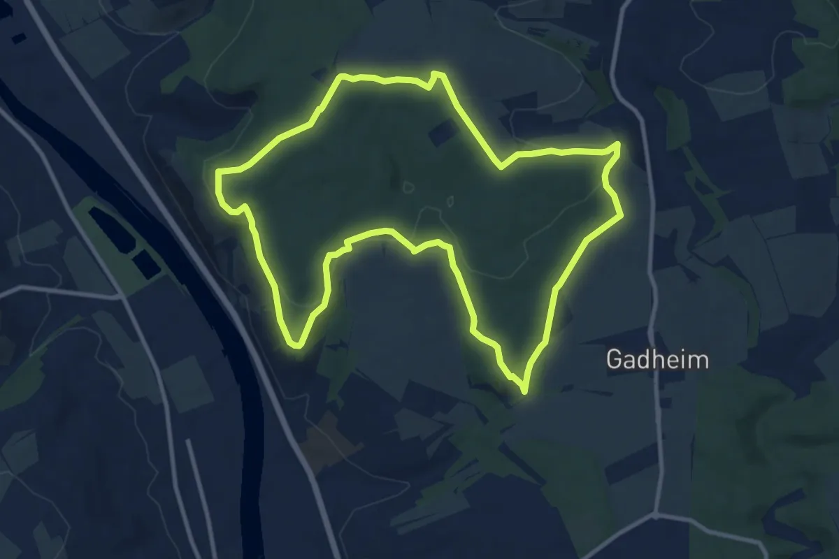
Medium · Trail
WanderErlebnisRoute Veitshöchheim "Waldrunde"
9.7 km · ↑ 169 m · 2 h 47 min
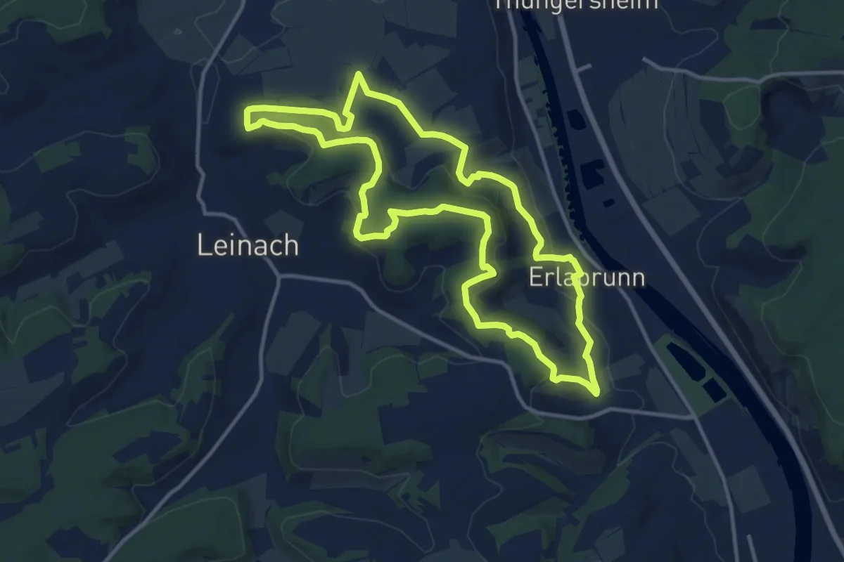
Medium · Summit
WanderErlebnisRoute Volkenberg
11.3 km · ↑ 305 m · 3 h 30 min
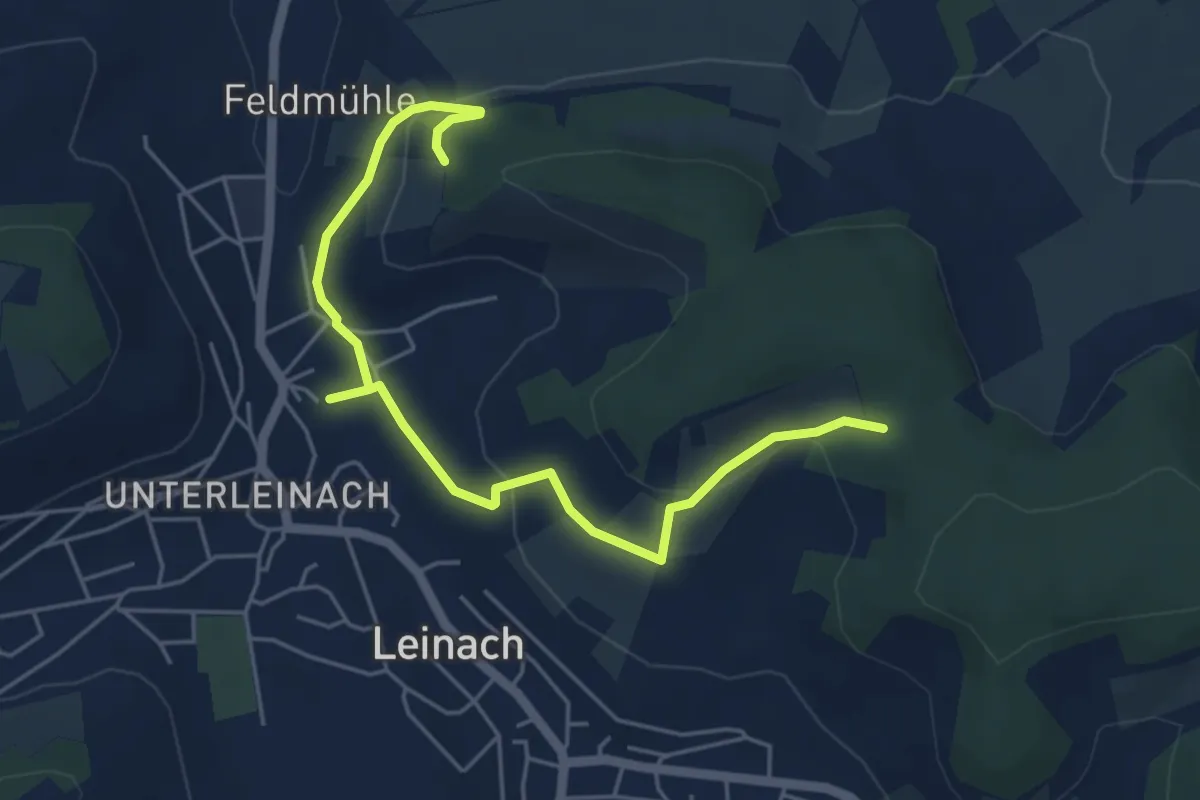
Easy · Trail
WanderErlebnisroute Volkenberg - Zubringer Leinach
5.5 km · ↑ 183 m · 1 h 42 min
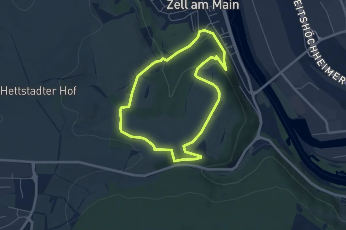
Easy · Trail
WanderErlebnisRoute "Zeller Berg-Runde"
4.3 km · ↑ 135 m · 1 h 22 min
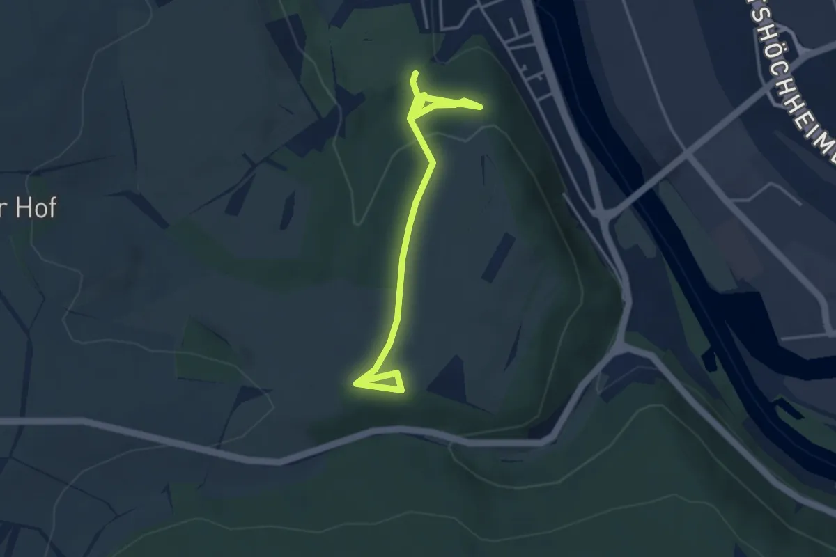
Easy · Trail
Wandererlebnis "Zeller Berg" - Alternativen
3.8 km · ↑ 105 m · 1 h 7 min