Trails in Germany
36,852 hiking trails, each with its route, climb, walking time and grade.
All trails, page 681 of 768
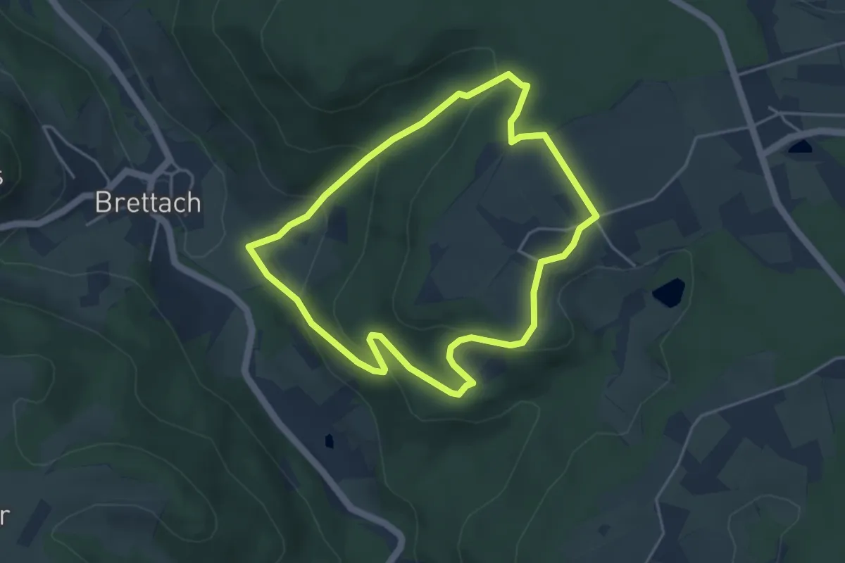
Easy · Trail
Wanderweg 2 Brettach
3.7 km · ↑ 166 m · 1 h 17 min
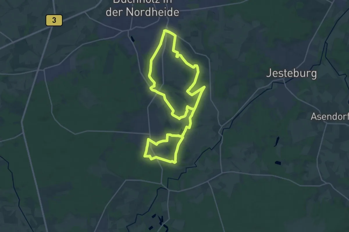
Medium · Trail
Wanderweg 2 Buchholz
17.7 km · ↑ 66 m · 4 h 34 min
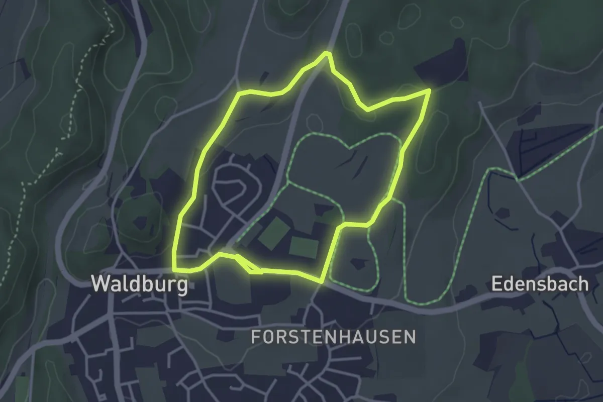
Easy · Trail
Wanderweg 2 der Gemeinde Waldburg
3.1 km · ↑ 18 m · 48 min
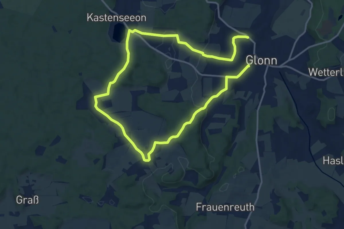
Demanding · Trail
Wanderweg 2, Glonn
18.1 km · ↑ 268 m · 4 h 52 min
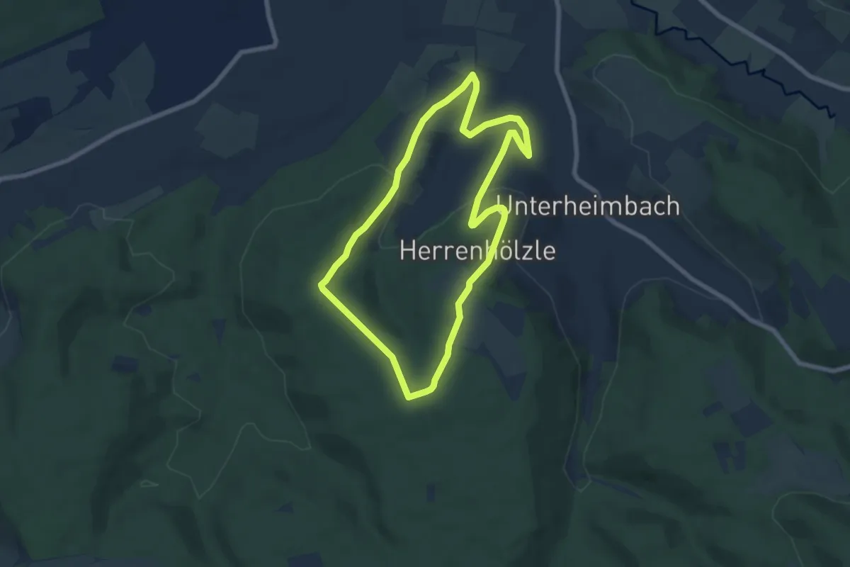
Easy · Trail
Wanderweg 2 Herrenhölzle
5.9 km · ↑ 118 m · 1 h 43 min
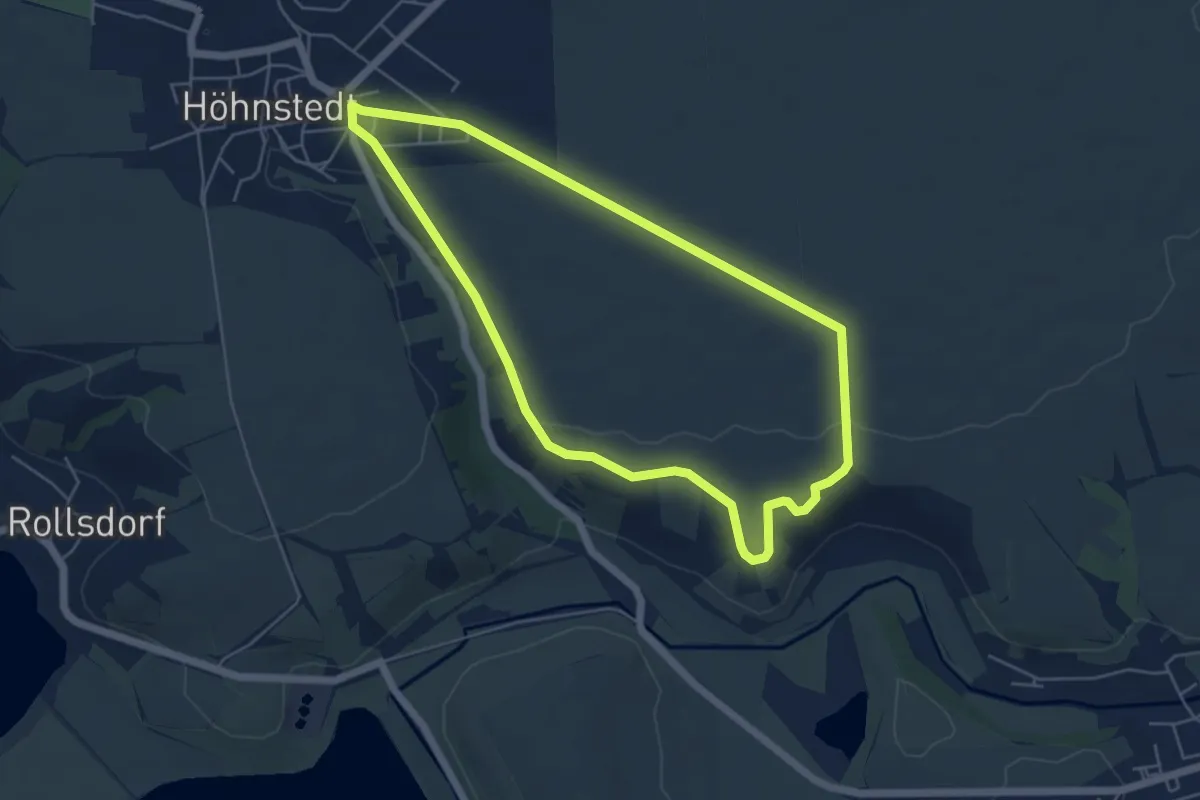
Easy · Trail
Wanderweg 2 Höhnstedt
4.6 km · ↑ 47 m · 1 h 16 min
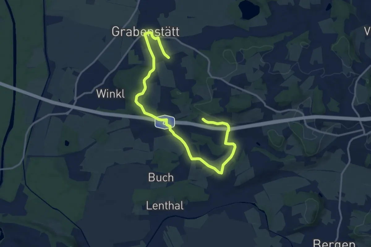
Medium · Trail
Wanderweg 2 - Holzwörth-Rundweg
12.4 km · ↑ 150 m · 3 h 15 min
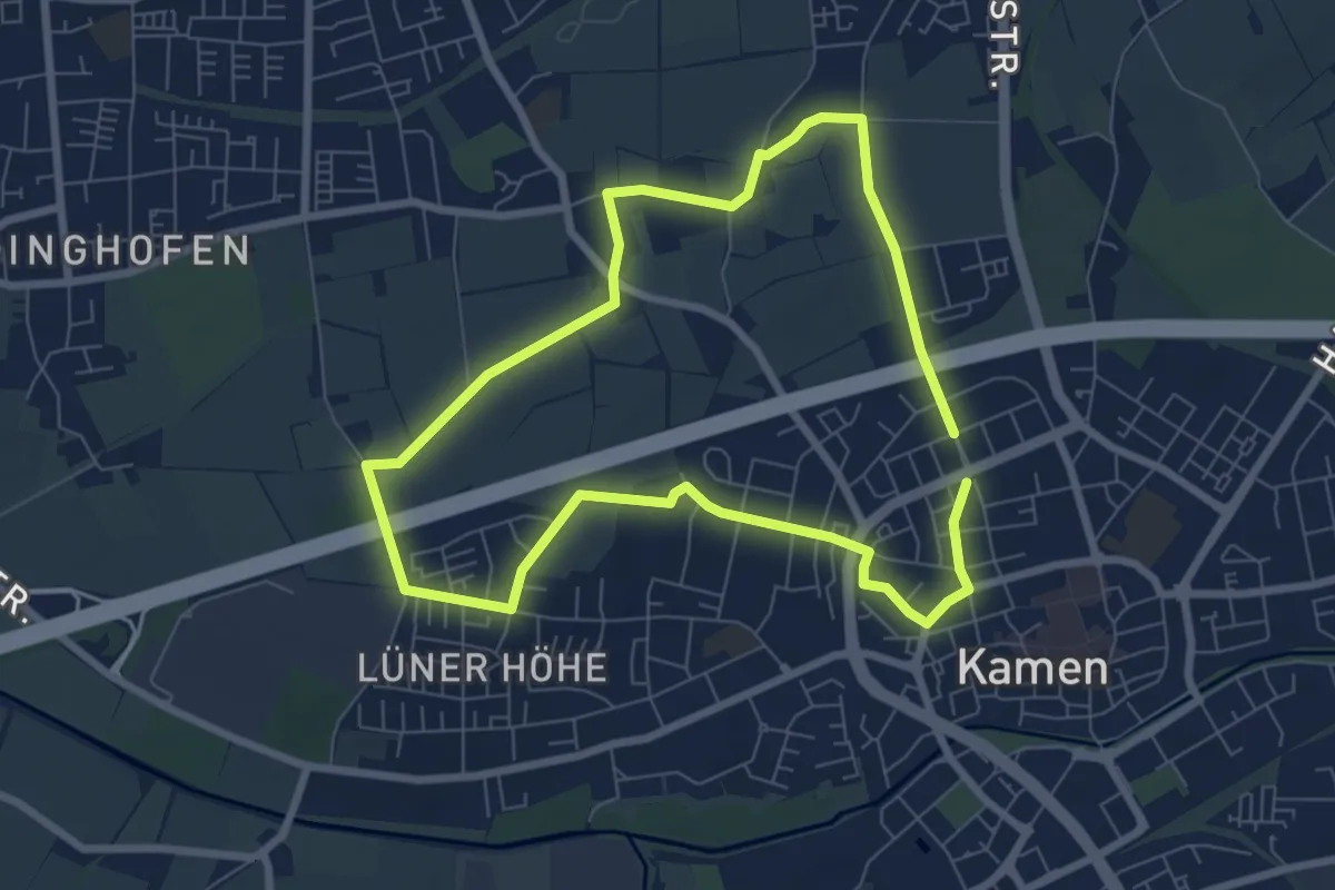
Easy · Trail
Wanderweg 2 Kamen
6.1 km · ↑ 26 m · 1 h 35 min
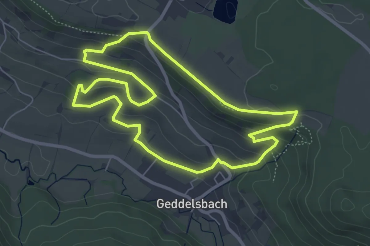
Easy · Trail
Wanderweg 2 Kelter Geddelsbach
5.3 km · ↑ 182 m · 1 h 43 min
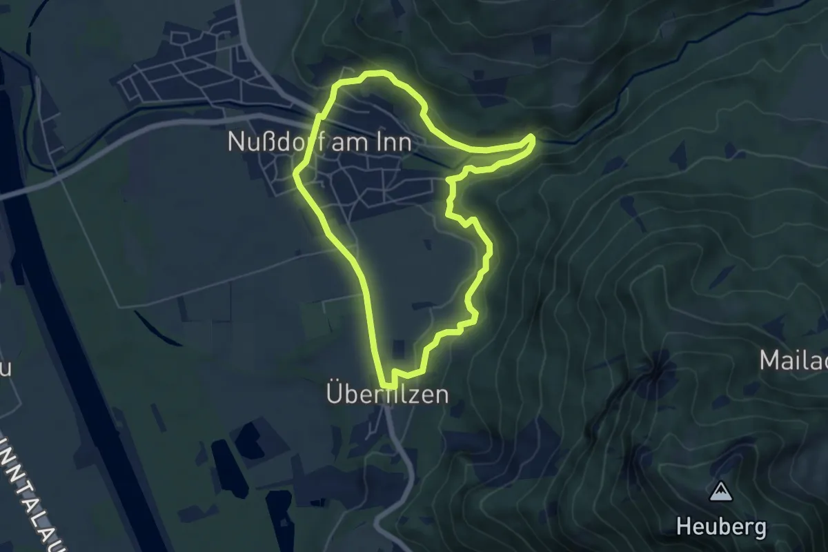
Easy · Trail
Wanderweg 2 - Nußdorf
5.2 km · ↑ 124 m · 1 h 33 min
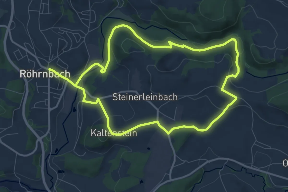
Medium · Trail
Wanderweg 2 Röhrnbach
15.5 km · ↑ 421 m · 4 h 34 min
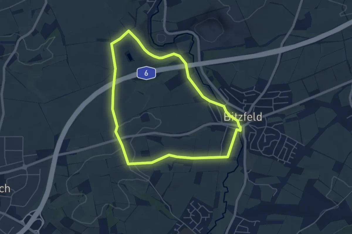
Easy · Trail
Wanderweg 2 Rose Bitzfeld
4.8 km · ↑ 61 m · 1 h 20 min
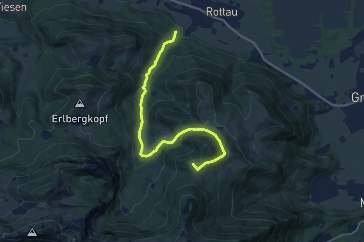
Medium · Summit
Wanderweg 2 - Rottau
11.3 km · ↑ 651 m · 4 h 5 min
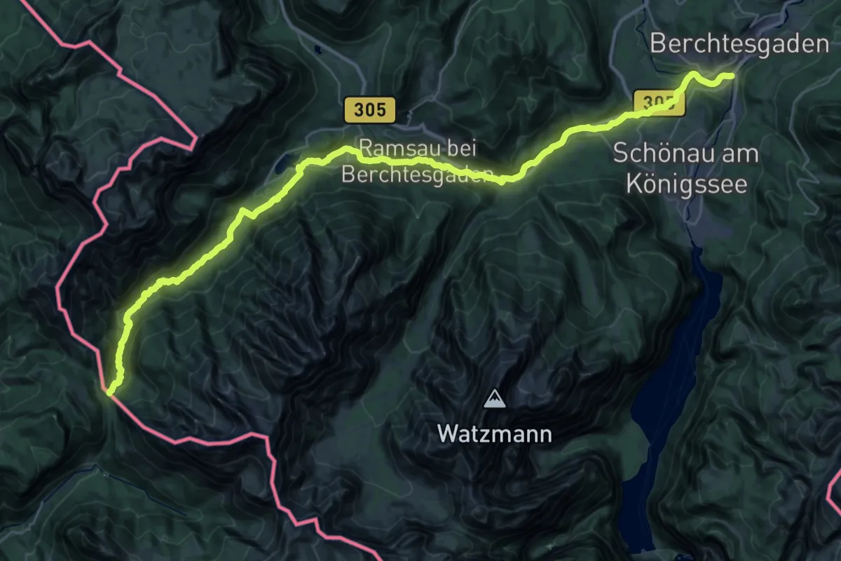
Demanding · Cabin
Wanderweg 2 (Saumweg)
21.3 km · ↑ 786 m · 6 h 44 min
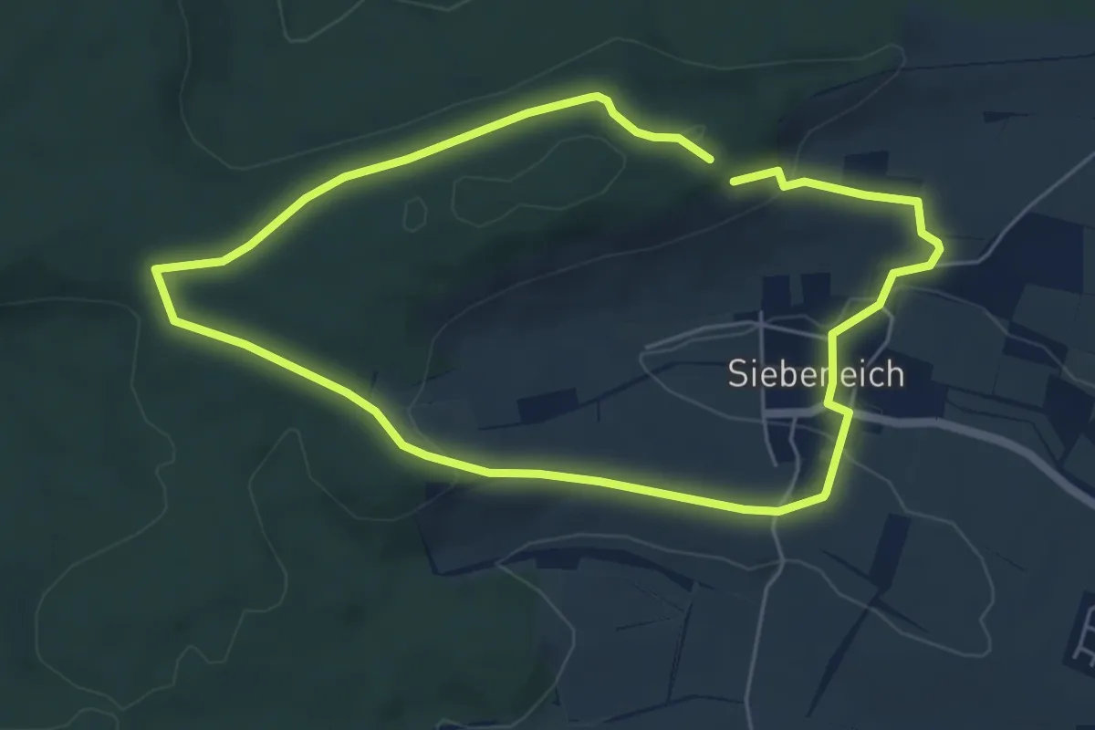
Easy · Trail
Wanderweg 2 Siebeneich
4.8 km · ↑ 107 m · 1 h 25 min
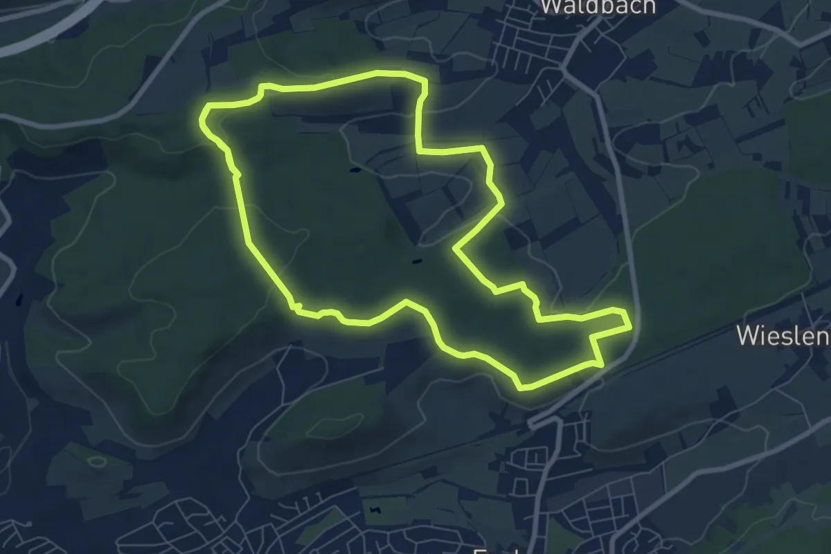
Easy · Trail
Wanderweg 2 Sperbelhau
7.8 km · ↑ 146 m · 2 h 16 min
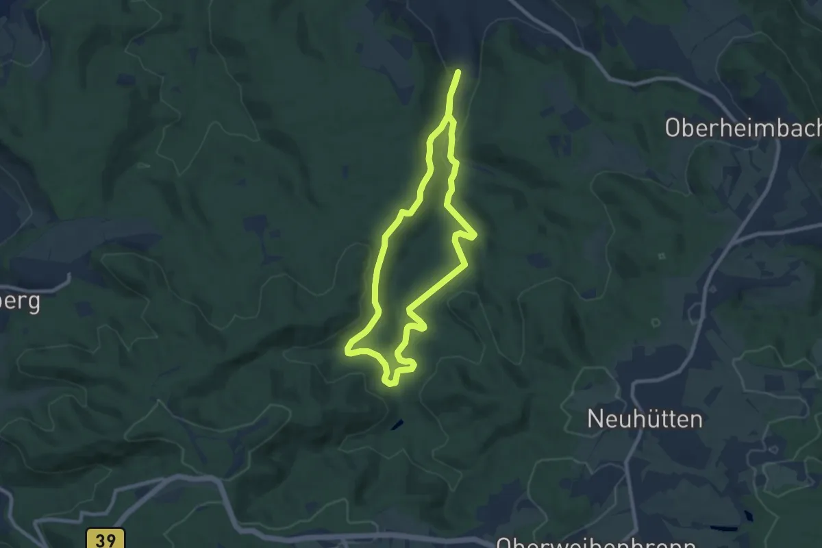
Easy · Trail
Wanderweg 2 Sportanlagen
7.0 km · ↑ 149 m · 2 h 4 min
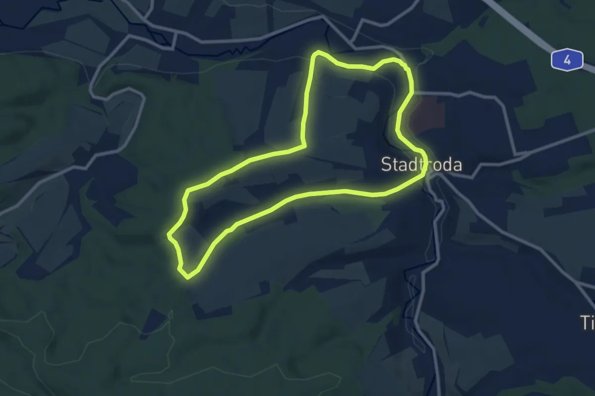
Easy · Trail
Wanderweg 2 Stadtroda
6.8 km · ↑ 104 m · 1 h 56 min
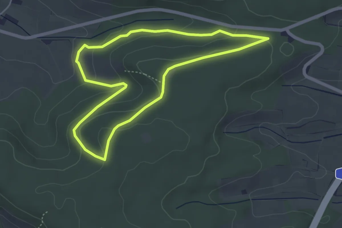
Easy · Trail
Wanderweg 2 Steinerner Tisch
3.8 km · ↑ 95 m · 1 h 9 min
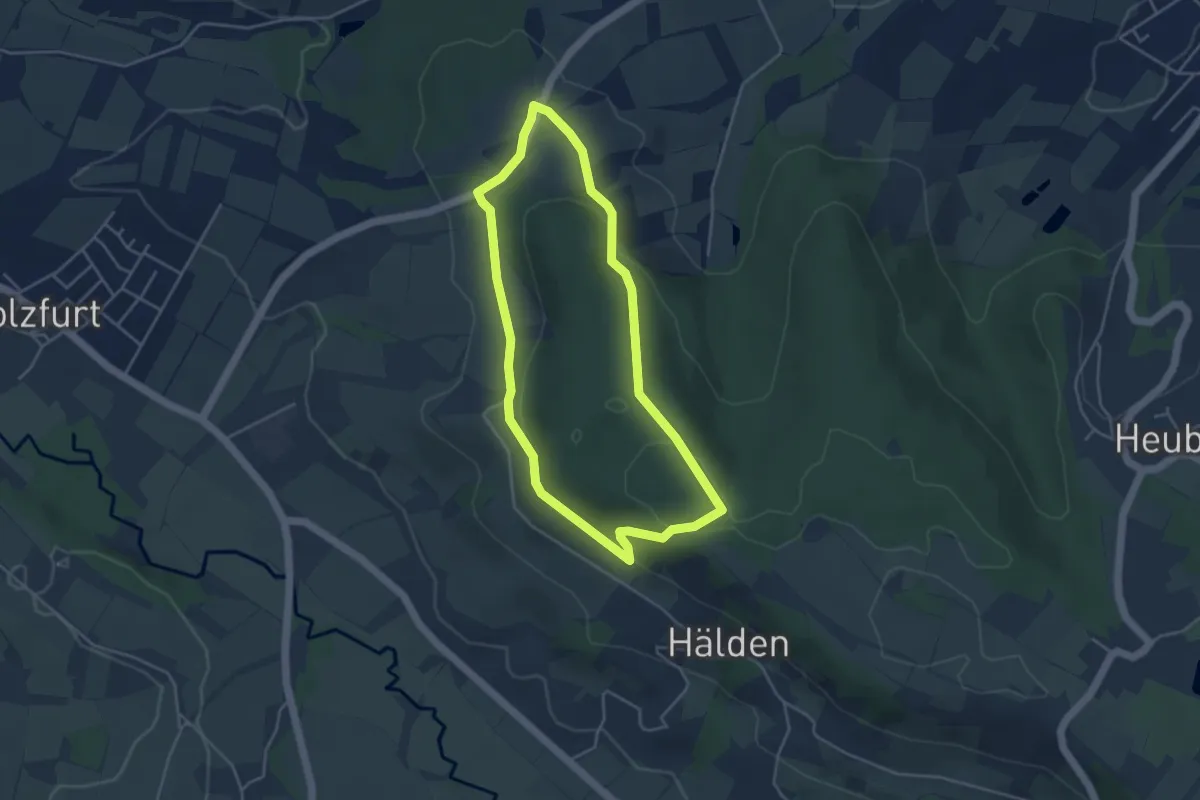
Easy · Trail
Wanderweg 2 Stöckig
3.7 km · ↑ 106 m · 1 h 10 min
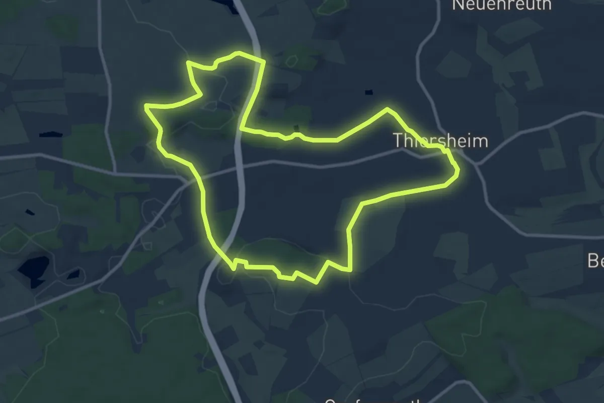
Medium · Trail
Wanderweg 2 Thiersheim
9.0 km · ↑ 102 m · 2 h 28 min
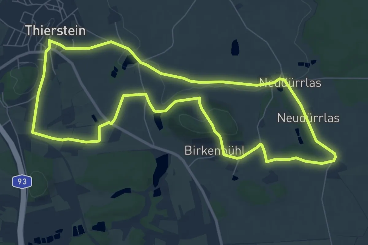
Easy · Trail
Wanderweg 2 Thierstein
6.9 km · ↑ 92 m · 1 h 55 min
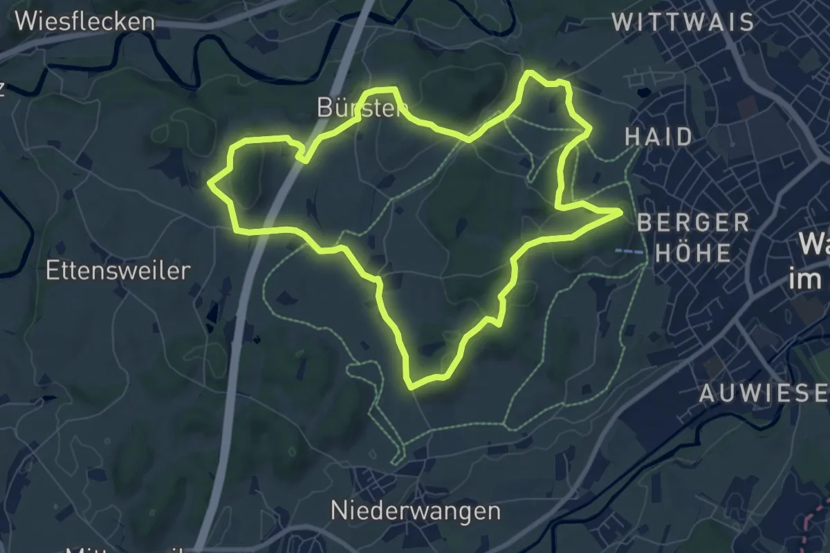
Medium · Trail
Wanderweg 2 Wangen im Allgäu
8.2 km · ↑ 157 m · 2 h 23 min
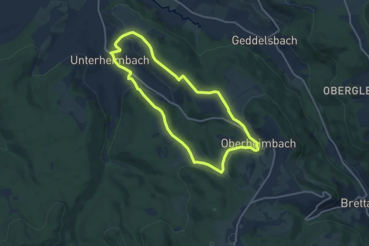
Easy · Trail
Wanderweg 2 Weinsteige
7.5 km · ↑ 140 m · 2 h 11 min
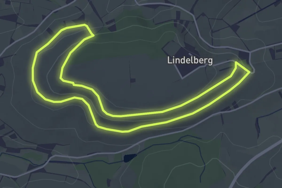
Easy · Trail
Wanderweg 2 Wiesenkelter
4.1 km · ↑ 58 m · 1 h 9 min
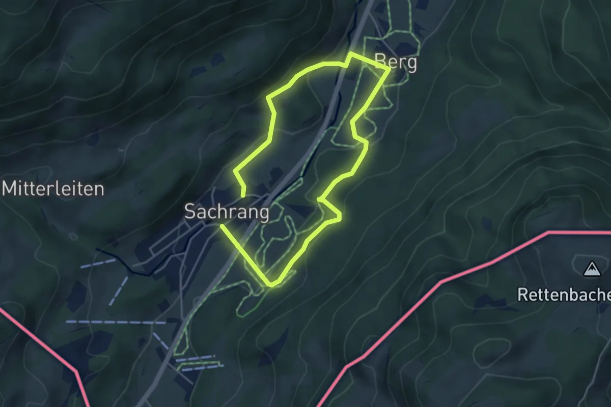
Medium · Trail
Wanderweg 2 - Zum Wasserfall in Berg
3.2 km · ↑ 126 m · 1 h 4 min
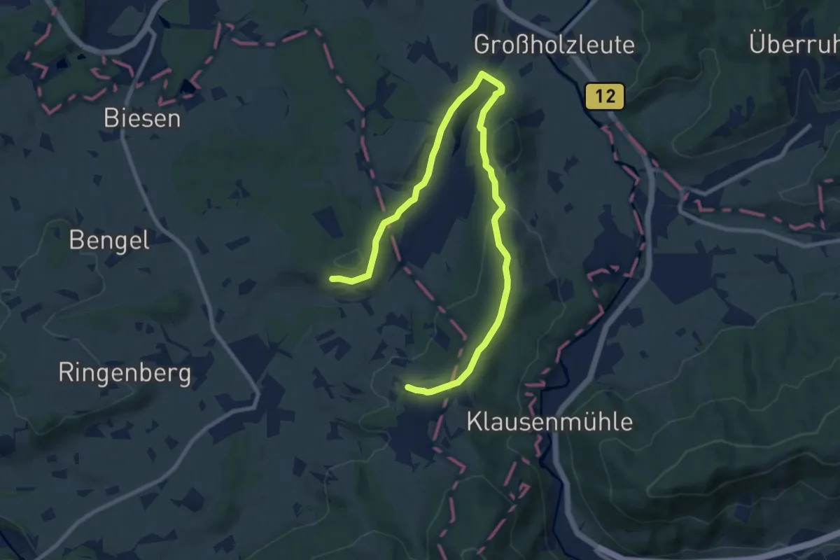
Medium · Trail
Wanderweg 3
11.1 km · ↑ 249 m · 3 h 10 min
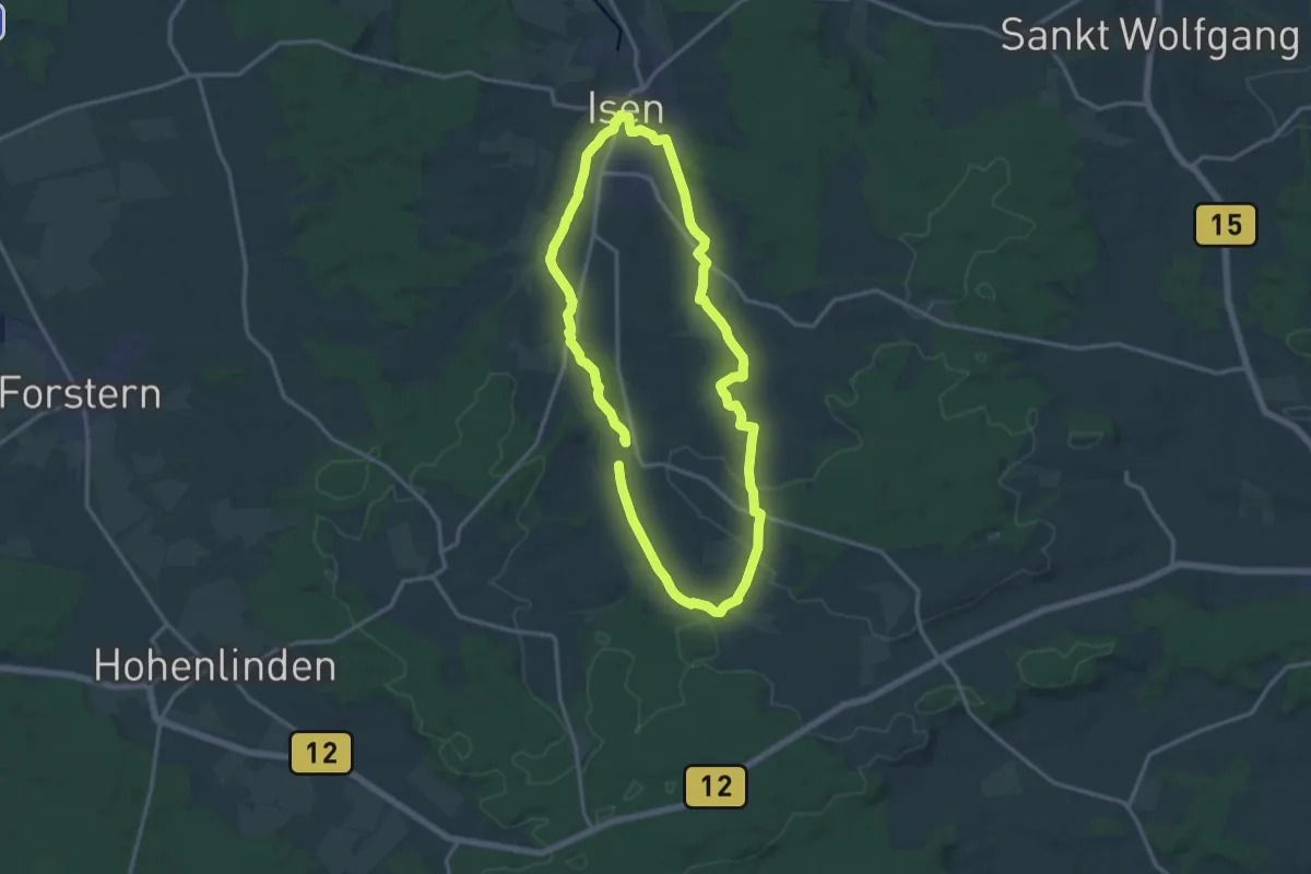
Medium · Trail
Wanderweg 3
13.2 km · ↑ 140 m · 3 h 36 min
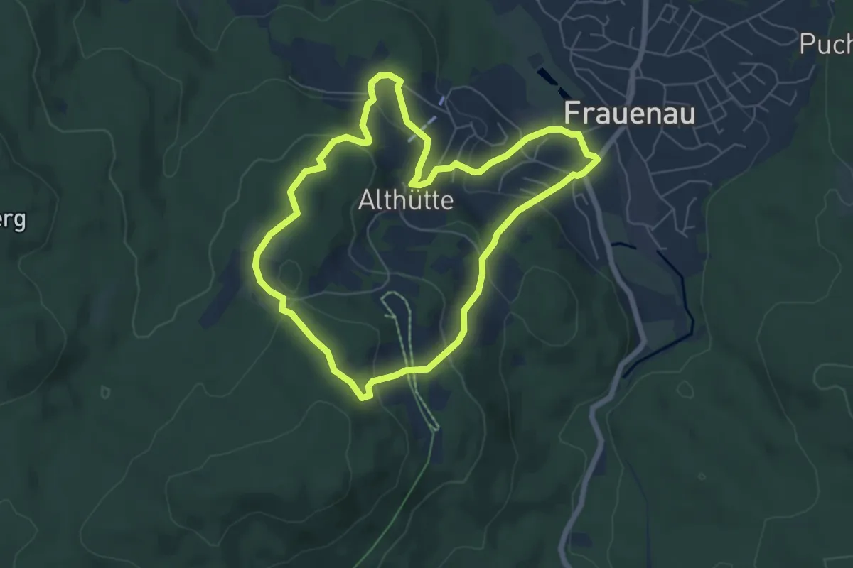
Easy · Trail
Wanderweg 3
5.6 km · ↑ 230 m · 1 h 53 min
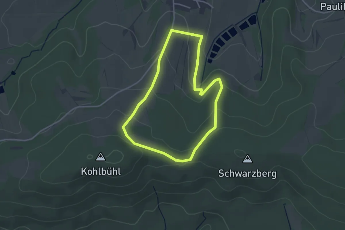
Easy · Trail
Wanderweg 3
2.7 km · ↑ 74 m · 51 min
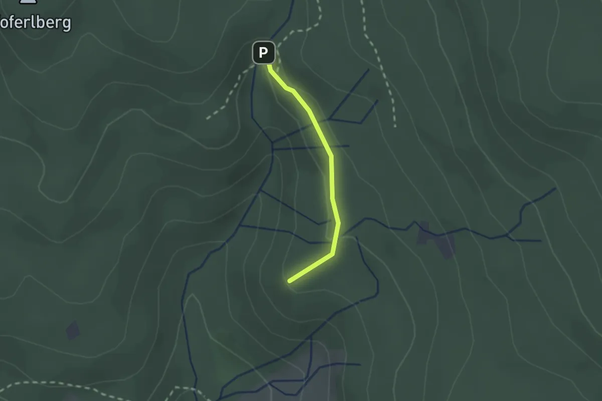
Medium · Summit
Wanderweg 3
1.5 km · ↑ 39 m · 26 min
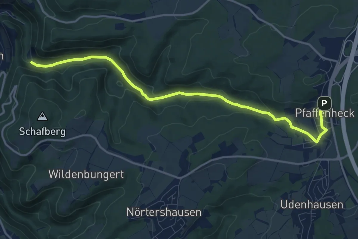
Medium · Trail
Wanderweg 3
9.8 km · ↑ 264 m · 2 h 53 min
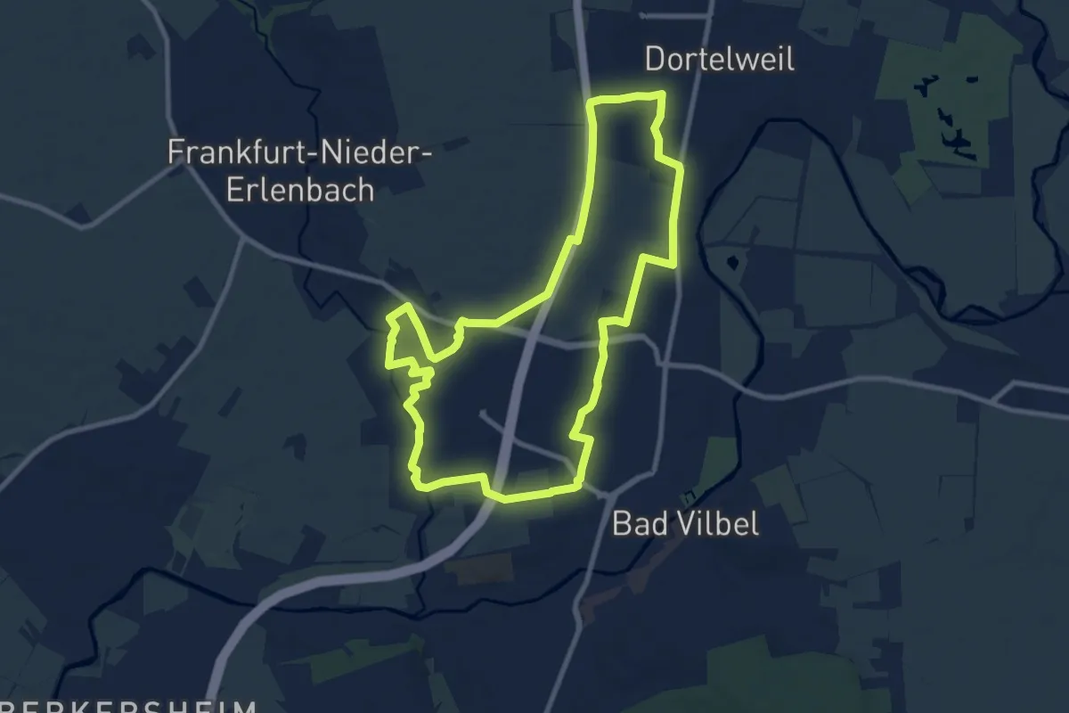
Medium · Trail
Wanderweg 3
8.6 km · ↑ 48 m · 2 h 15 min
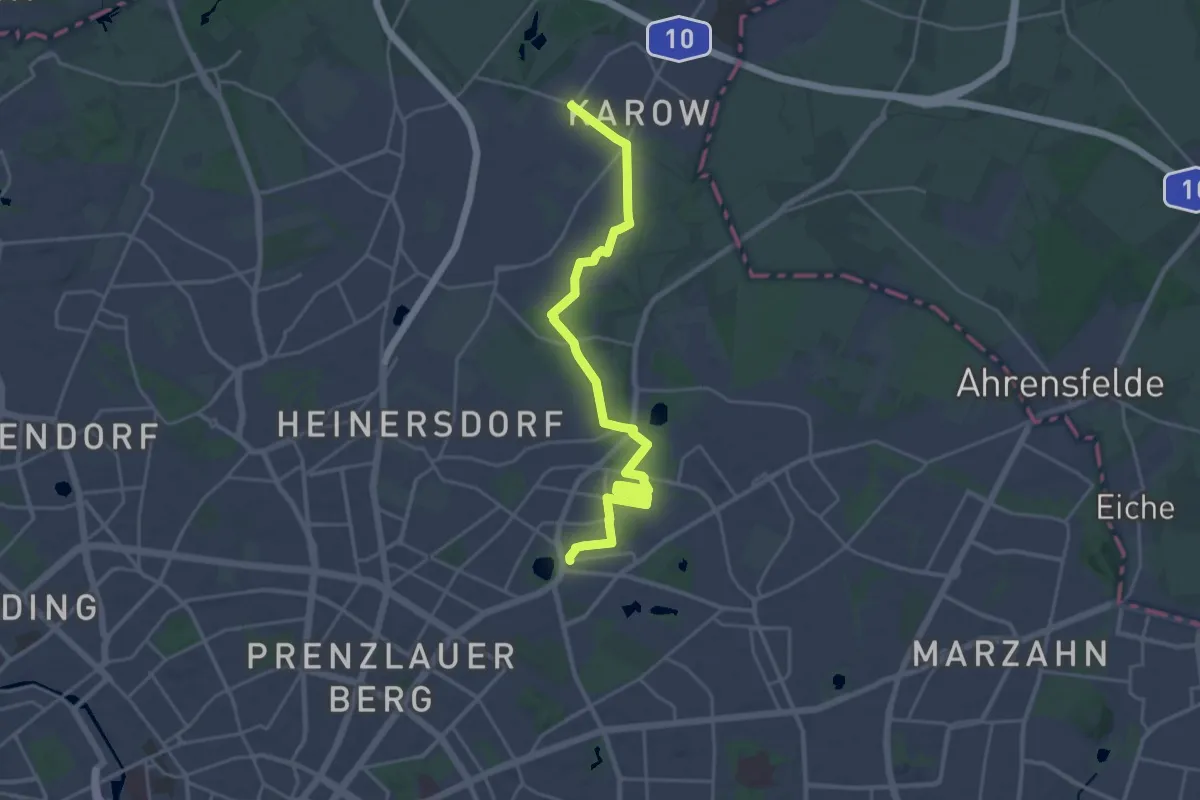
Demanding · Trail
Wanderweg 3
21.6 km · ↑ 25 m · 5 h 10 min
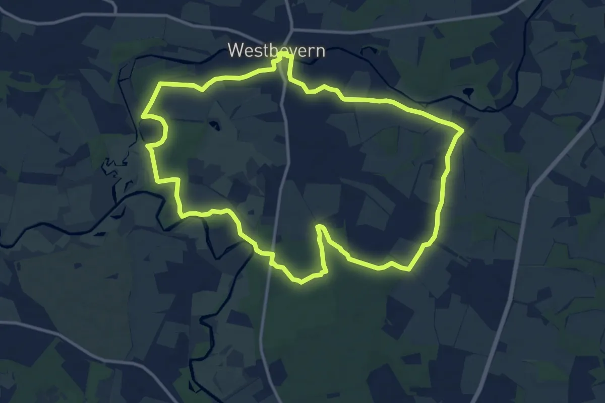
Medium · Trail
Wanderweg 3
9.7 km · ↑ 43 m · 2 h 31 min
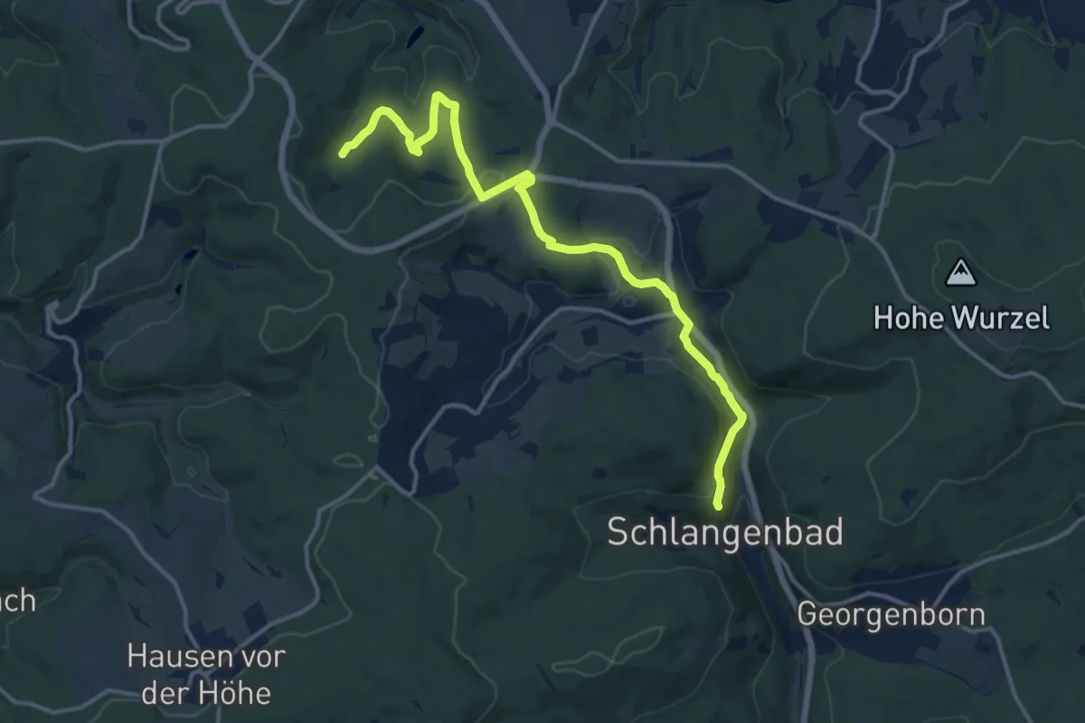
Medium · Summit
Wanderweg 30
13.5 km · ↑ 345 m · 3 h 56 min
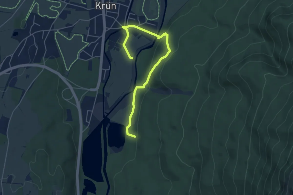
Easy · Trail
Wanderweg 301
4.9 km · ↑ 159 m · 1 h 30 min
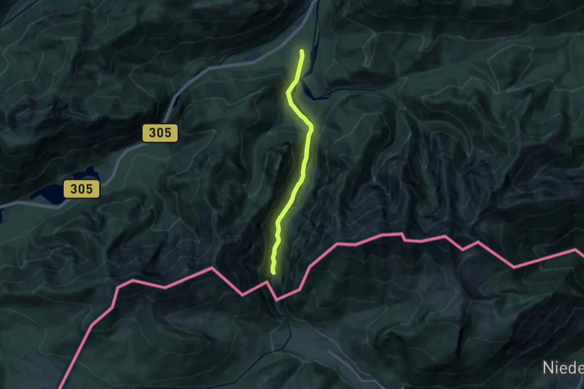
Medium · Trail
Wanderweg 30 (Laubau - Staubfall)
10.3 km · ↑ 220 m · 2 h 54 min
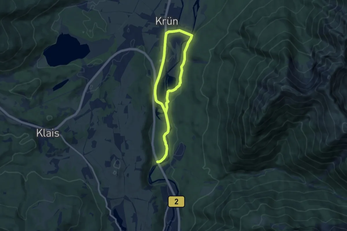
Medium · Trail
Wanderweg 310
12.3 km · ↑ 140 m · 3 h 12 min
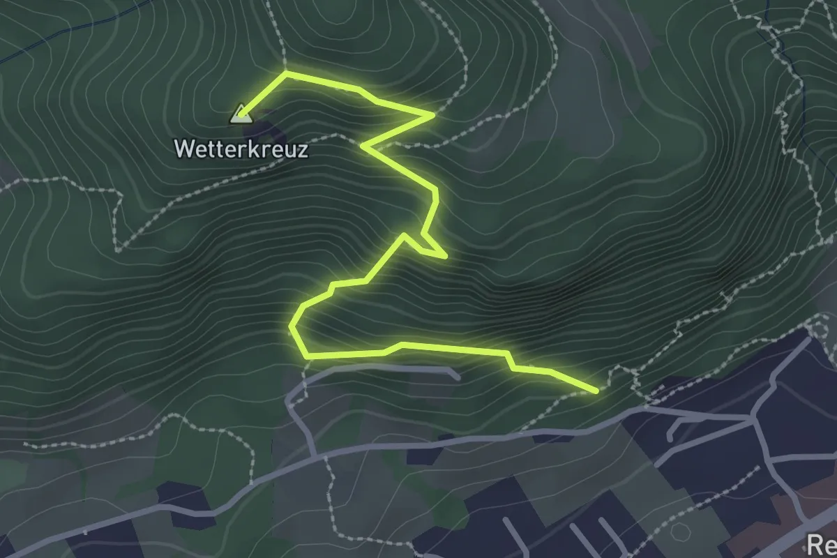
Medium · Summit
Wanderweg 31 - Reit im Winkl
3.0 km · ↑ 383 m · 1 h 32 min
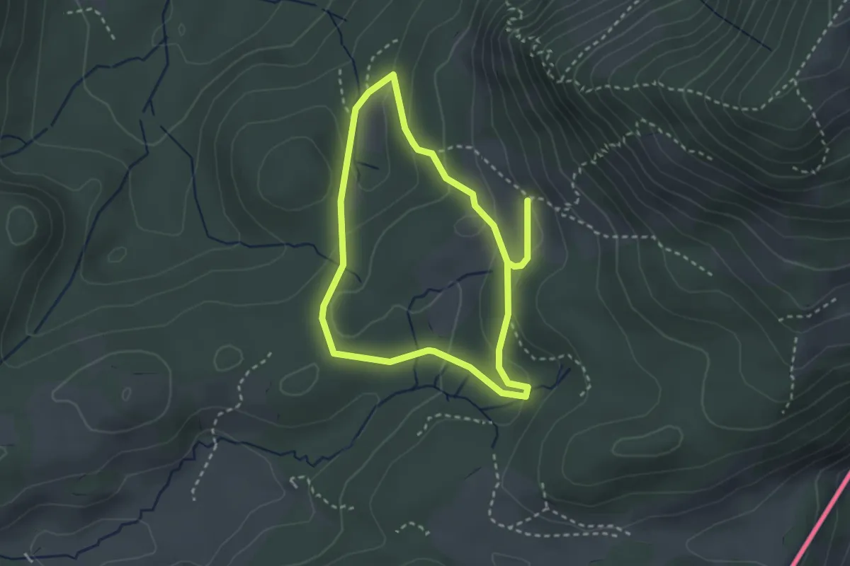
Easy · Trail
Wanderweg 31 - Samerberg
2.5 km · ↑ 77 m · 47 min
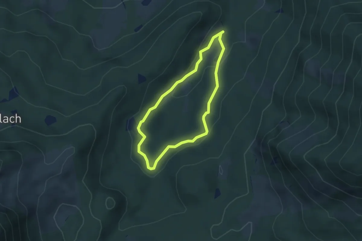
Medium · Trail
Wanderweg 32 - Samerberg
2.8 km · ↑ 74 m · 52 min
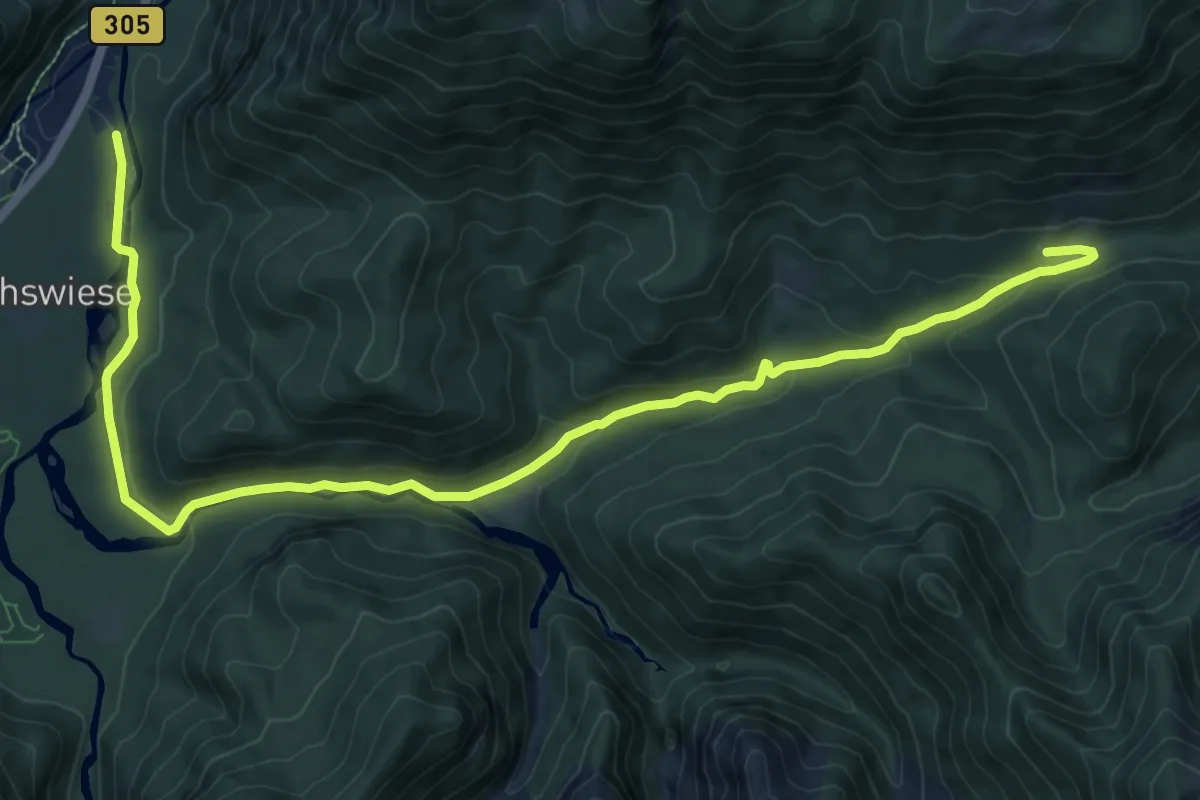
Medium · Trail
Wanderweg 33 (Laubau - Kaitlalm)
12.4 km · ↑ 370 m · 3 h 43 min
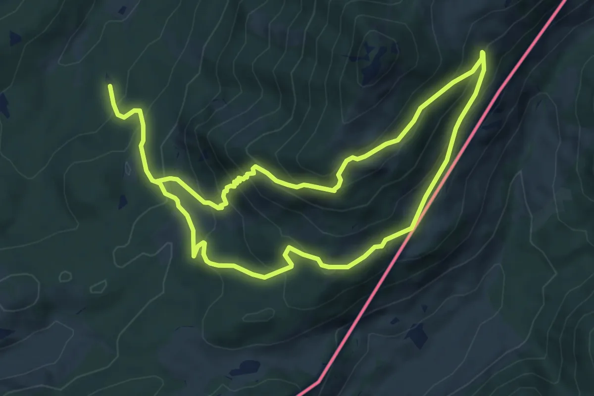
Demanding · Trail
Wanderweg 33 - Samerberg
12.7 km · ↑ 854 m · 4 h 50 min
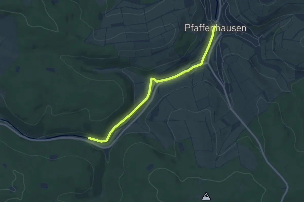
Easy · Trail
Wanderweg 34
5.6 km · ↑ 77 m · 1 h 29 min
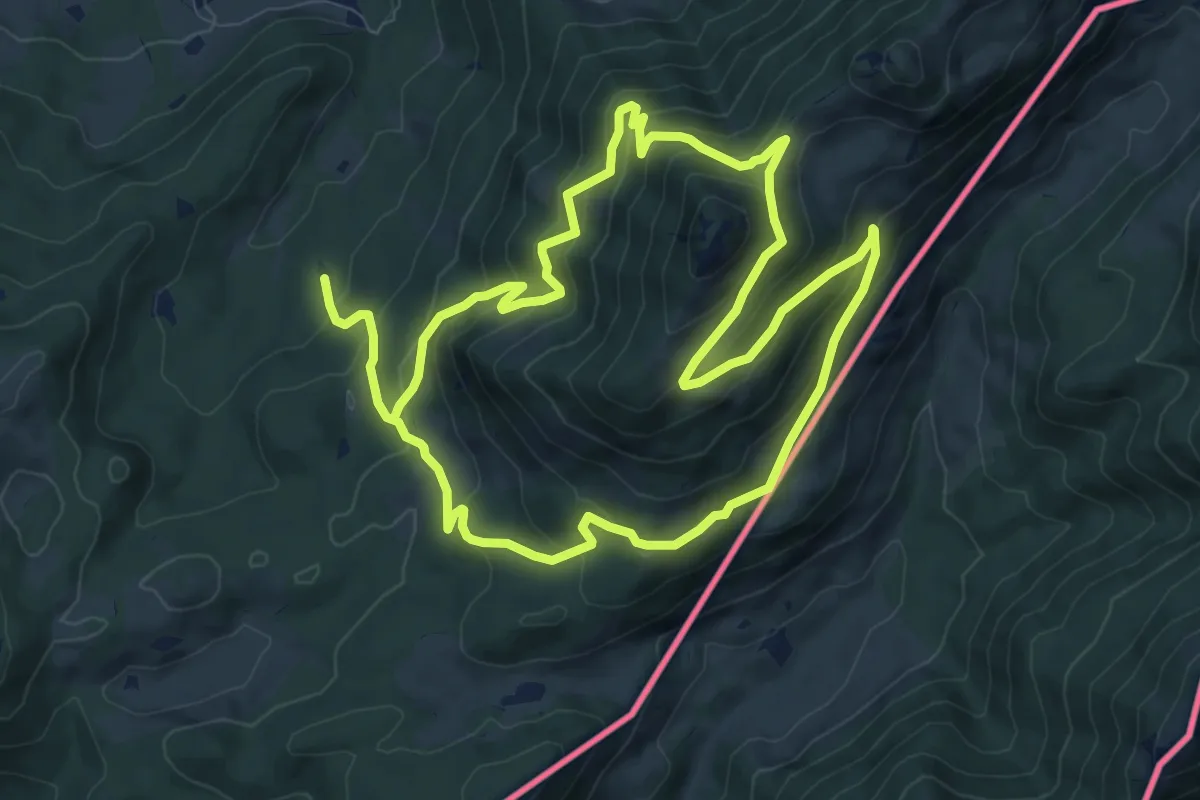
Demanding · Trail
Wanderweg 34 - Samerberg
17.6 km · ↑ 1119 m · 6 h 34 min
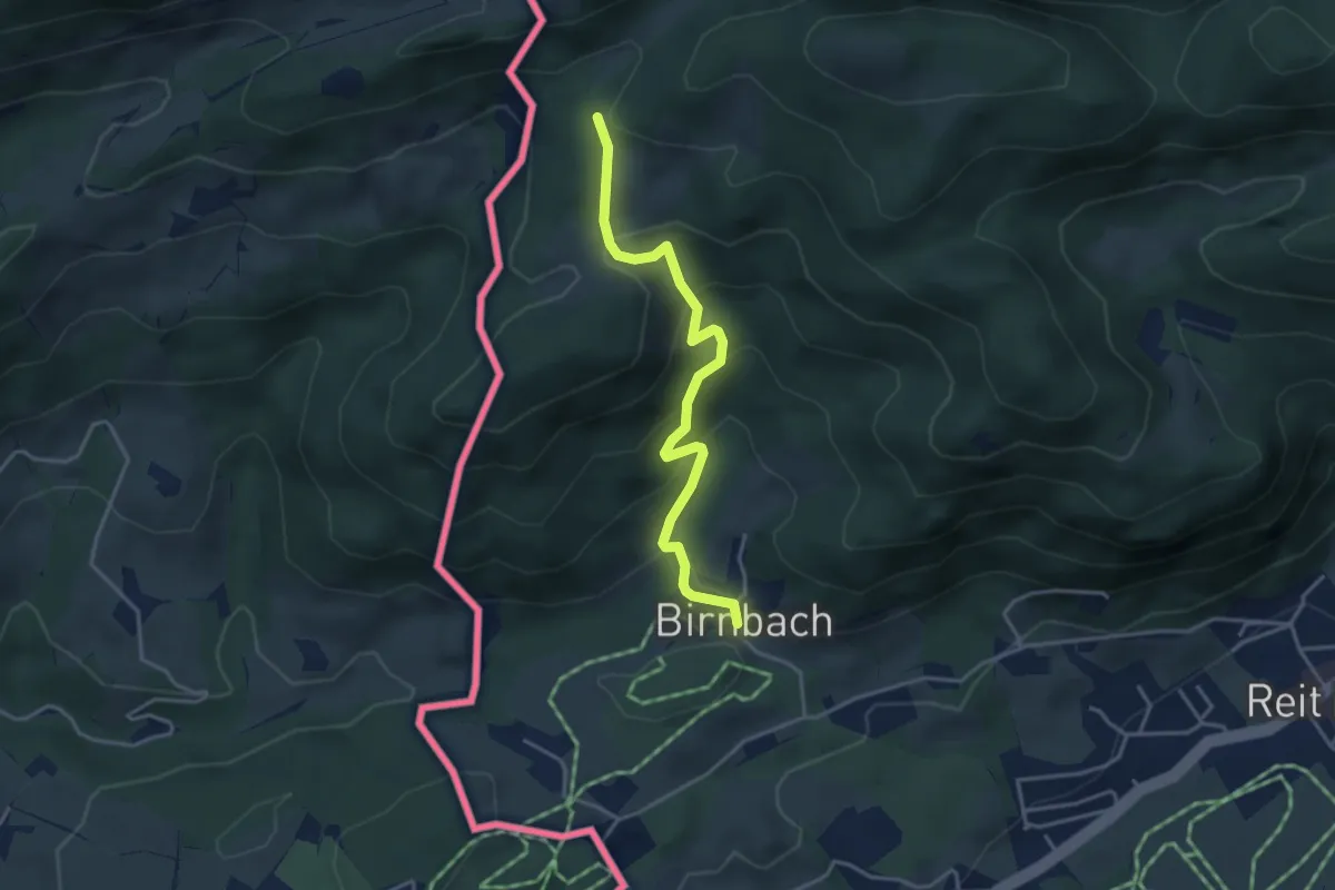
Easy · Trail
Wanderweg 34 - Wössen
3.7 km · ↑ 254 m · 1 h 26 min
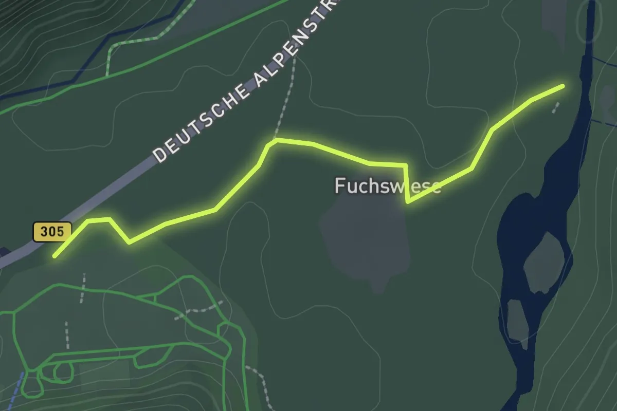
Easy · Trail
Wanderweg 35
2.5 km · ↑ 9 m · 36 min