Trails in Germany
36,852 hiking trails, each with its route, climb, walking time and grade.
All trails, page 697 of 768
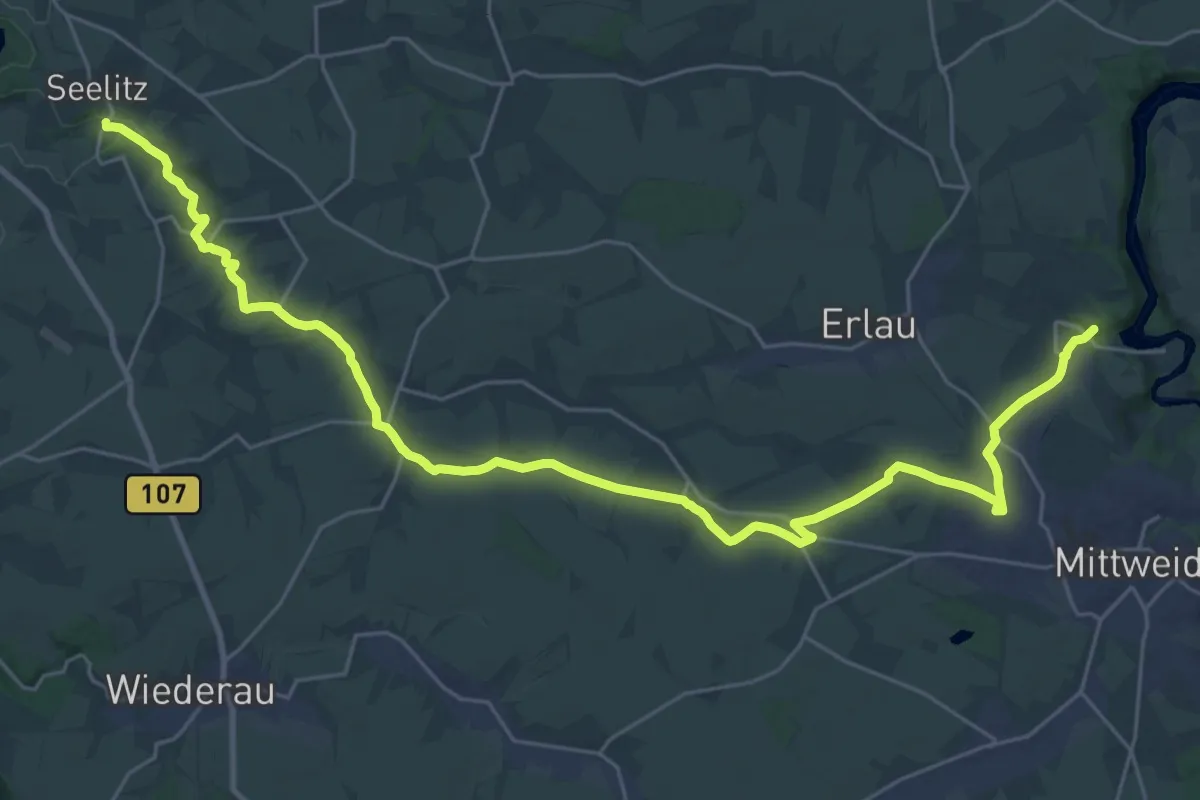
Demanding · Summit
Wanderweg Erlbachtalweg Fischheim – Lauenhain
32.0 km · ↑ 301 m · 8 h 12 min
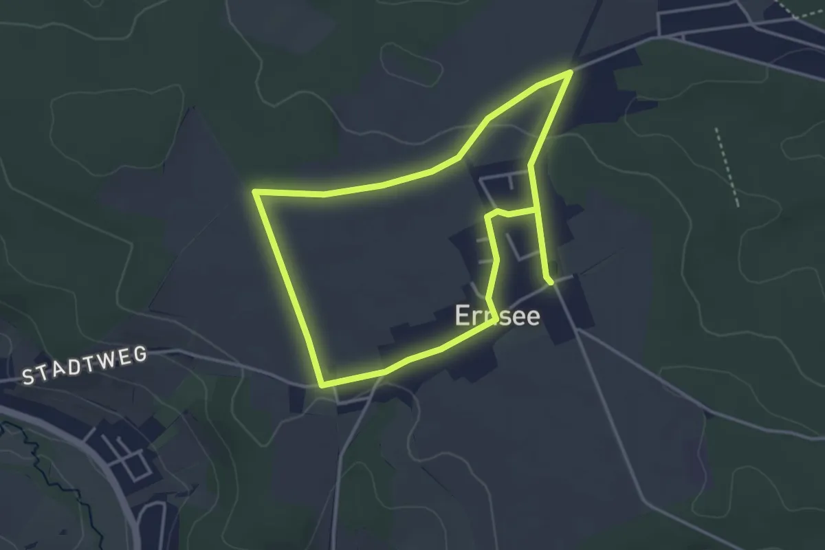
Easy · Trail
Wanderweg Ernsee-Hammelburg
3.1 km · ↑ 27 m · 51 min
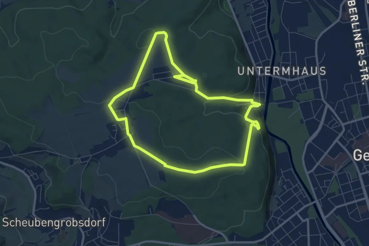
Easy · Trail
Wanderweg Ernsee-Hammelburg-Stadtwald
6.6 km · ↑ 140 m · 1 h 57 min
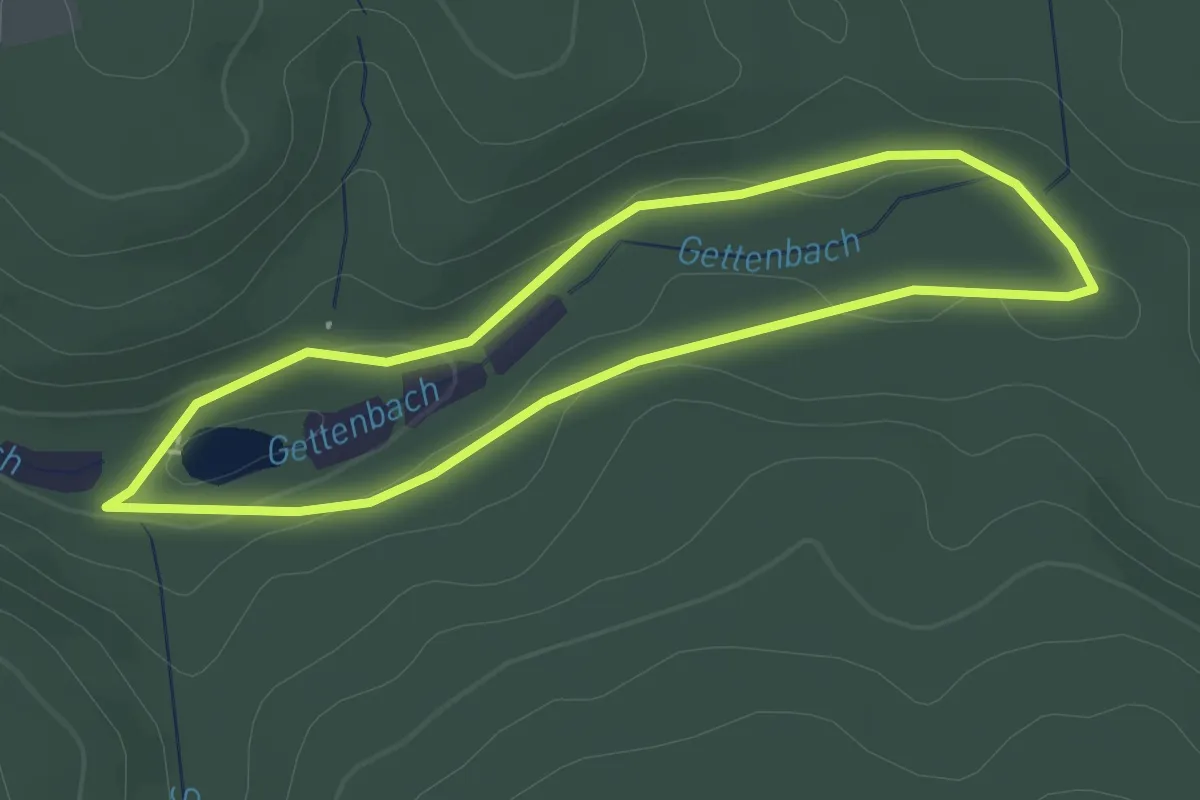
Easy · Trail
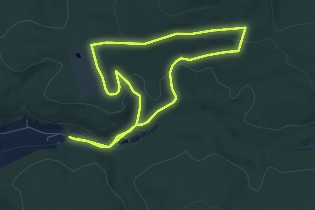
Wanderwege "Rund um die Gettenbacher Weiher" Nr.1
2.1 km · ↑ 18 m · 34 min
Easy · Trail
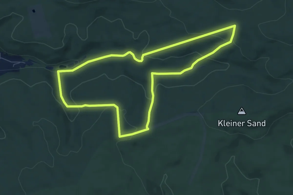
Wanderwege "Rund um die Gettenbacher Weiher" Nr.2
6.2 km · ↑ 119 m · 1 h 49 min
Easy · Trail
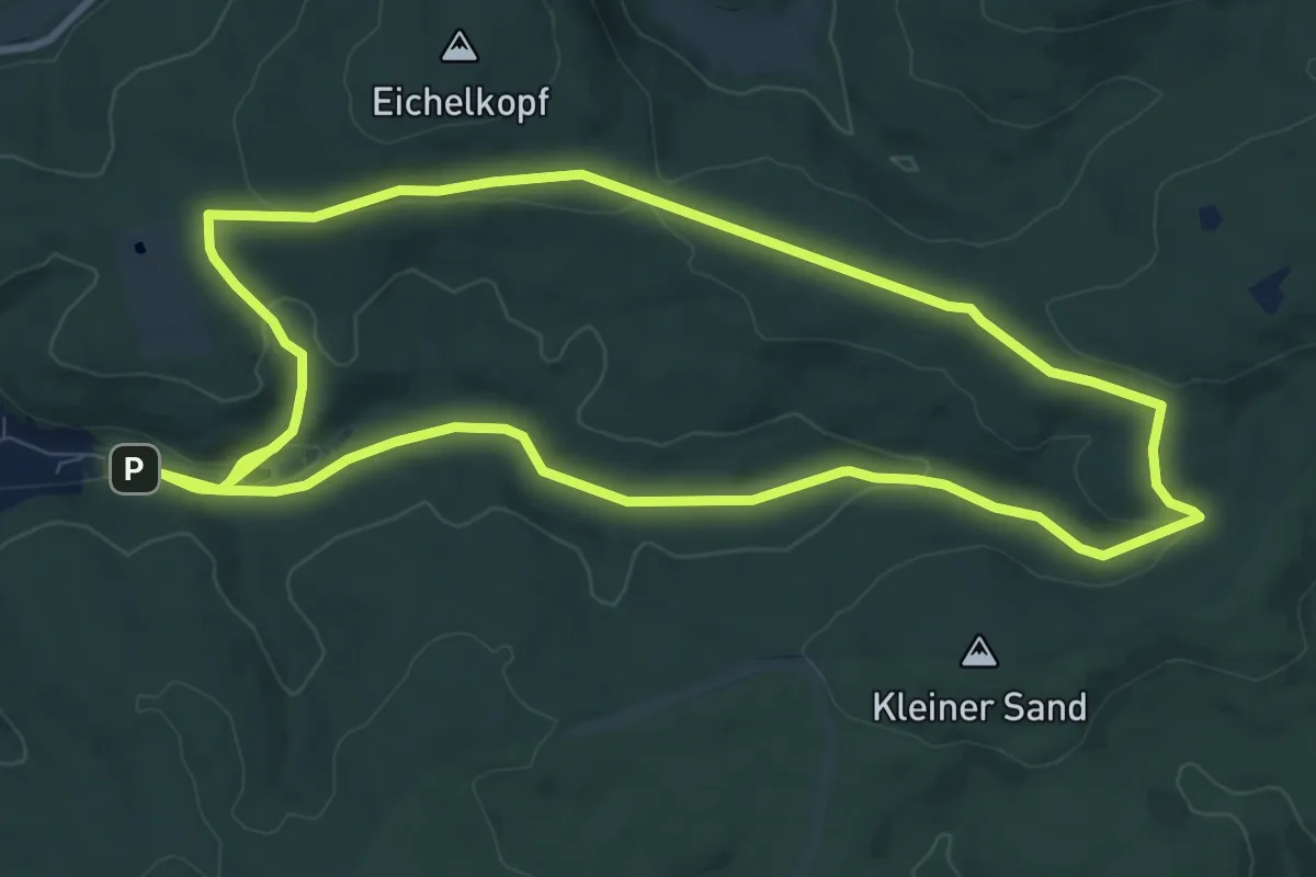
Wanderwege "Rund um die Gettenbacher Weiher" Nr.4
6.8 km · ↑ 209 m · 2 h 9 min
Medium · Trail
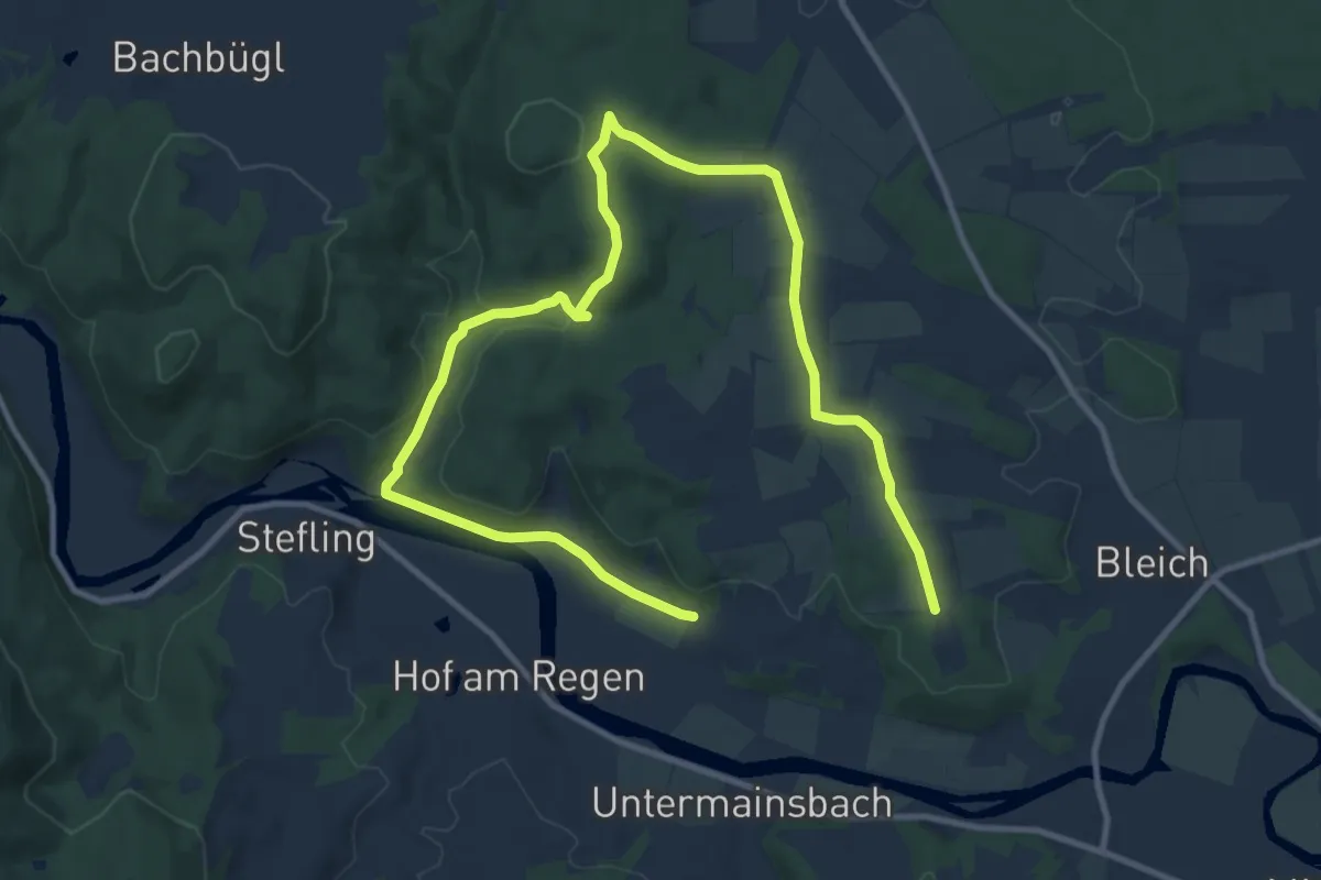
Wanderwege "Rund um die Gettenbacher Weiher" Nr.5
9.8 km · ↑ 161 m · 2 h 47 min
Medium · Trail
Wanderwege rund um Nittenau - 01 - Wasserstein
15.0 km · ↑ 296 m · 4 h 10 min
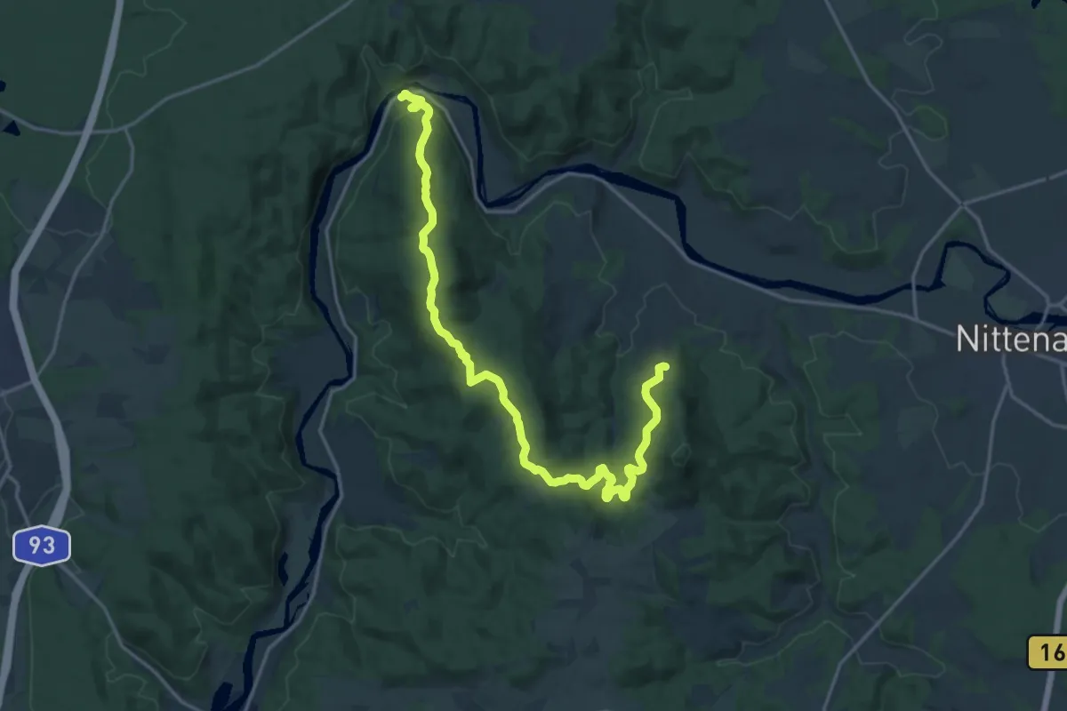
Demanding · Trail
Wanderwege rund um Nittenau - 02 - Wackelstein
18.6 km · ↑ 502 m · 5 h 29 min
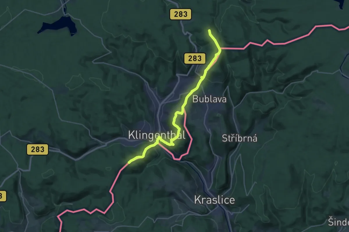
Demanding · Summit
Wanderweg Erzgebirge-Vogtland (Oelsnitz-Talsperre Eibenstock)
21.0 km · ↑ 717 m · 6 h 31 min
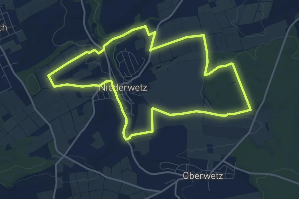
Medium · Trail
Wanderwege Schöffengrund - Hirschkäfer
8.9 km · ↑ 115 m · 2 h 28 min
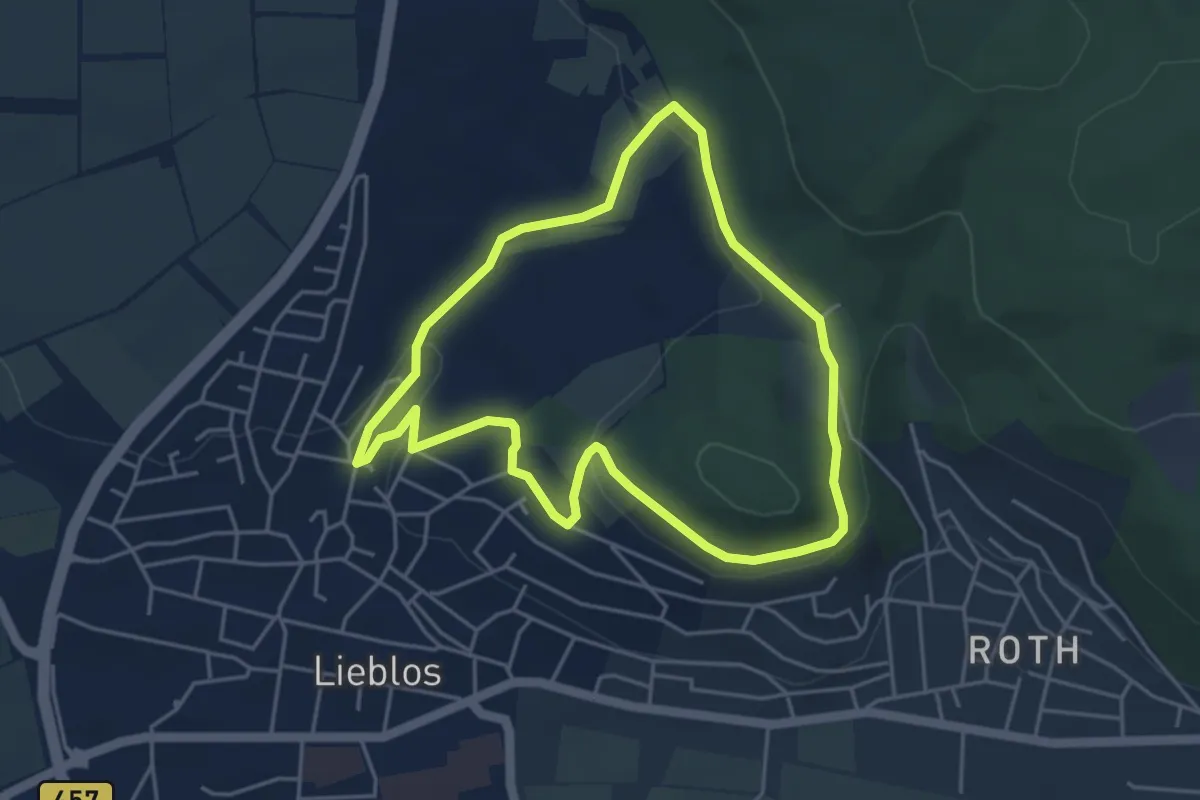
Easy · Trail
Wanderwege um den Herzberg Nr.1
4.0 km · ↑ 80 m · 1 h 10 min
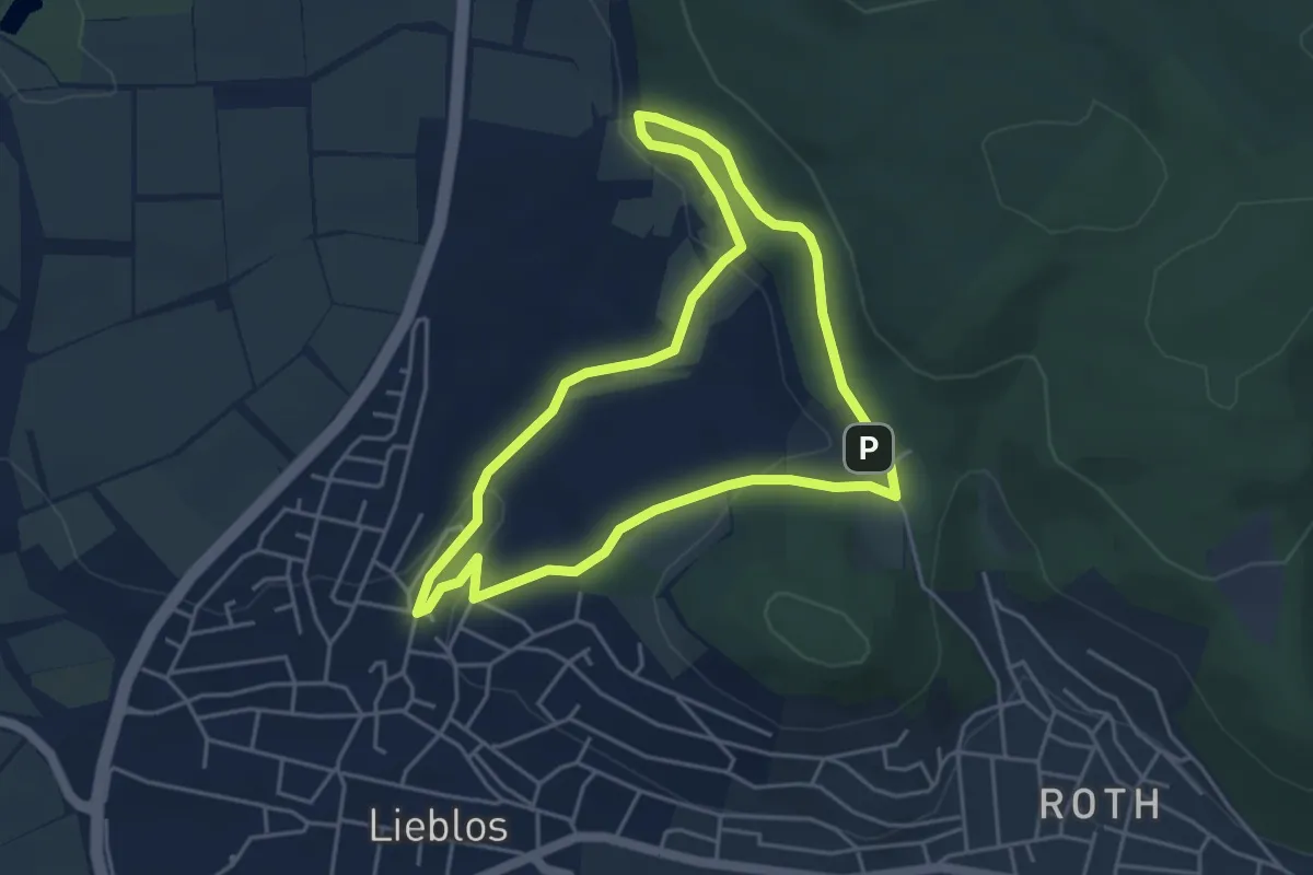
Easy · Trail
Wanderwege um den Herzberg Nr.2
4.0 km · ↑ 95 m · 1 h 13 min
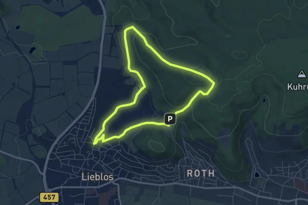
Easy · Trail
Wanderwege um den Herzberg Nr.3
6.0 km · ↑ 160 m · 1 h 50 min
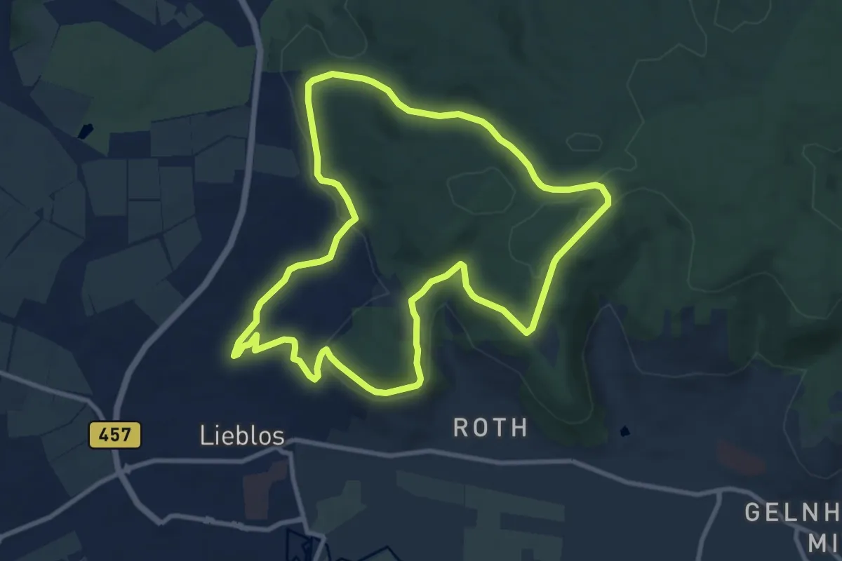
Medium · Trail
Wanderwege um den Herzberg Nr.4
8.3 km · ↑ 192 m · 2 h 30 min
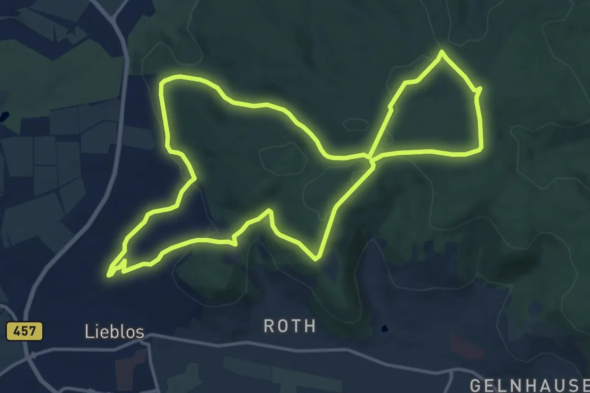
Medium · Summit
Wanderwege um den Herzberg Nr.5
10.6 km · ↑ 217 m · 3 h 7 min
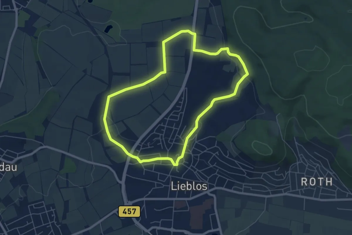
Easy · Trail
Wanderwege um den Herzberg Nr.6
5.3 km · ↑ 77 m · 1 h 30 min
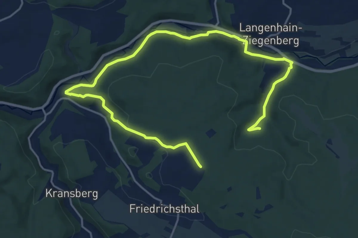
Medium · Trail
Wanderwege Vogeltal - Eichenblatt
15.9 km · ↑ 280 m · 4 h 22 min
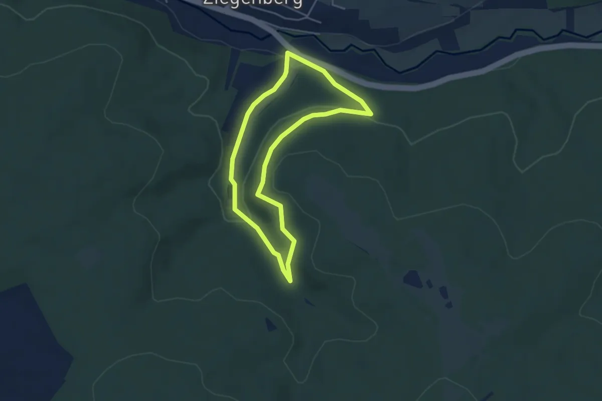
Easy · Trail
Wanderwege Vogeltal - Eichhornt
3.5 km · ↑ 93 m · 1 h 4 min
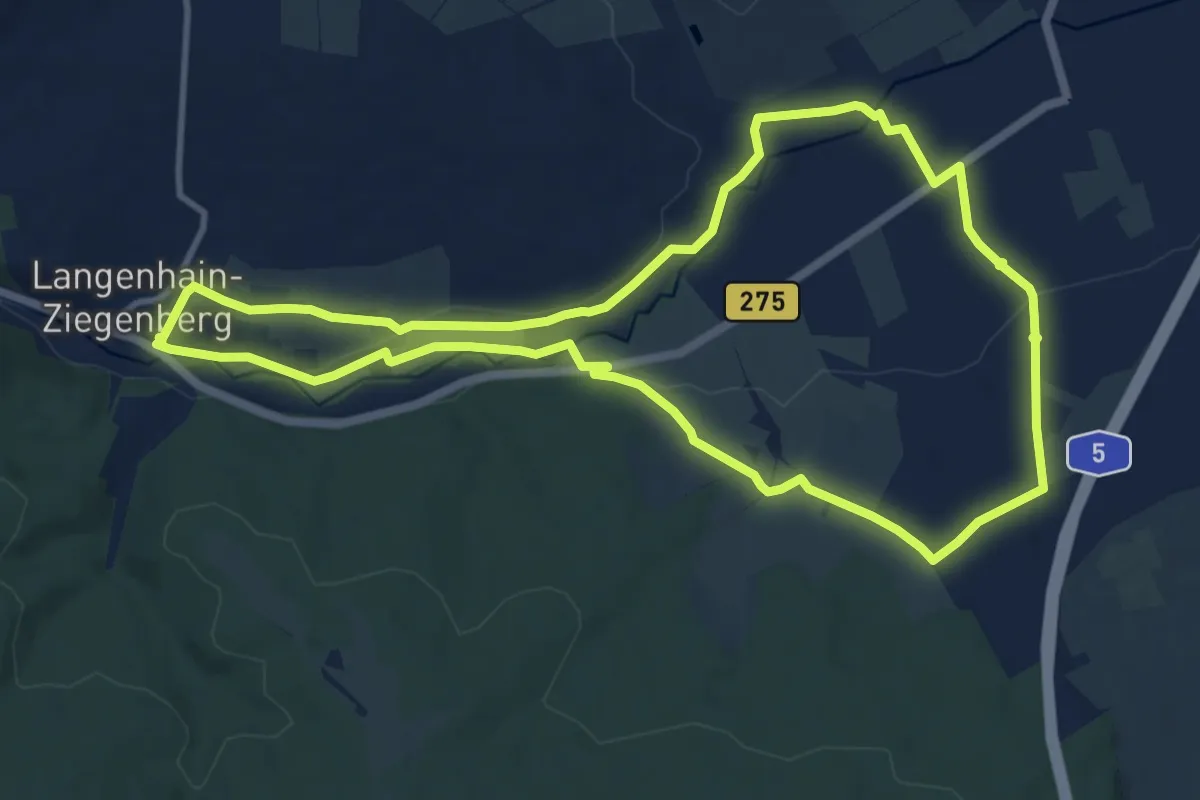
Medium · Trail
Wanderwege Vogeltal - Forelle
10.7 km · ↑ 103 m · 2 h 54 min
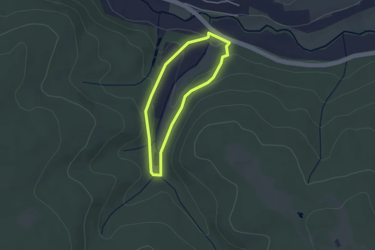
Easy · Trail
Wanderwege Vogeltal - Schnepfe
2.1 km · ↑ 59 m · 40 min
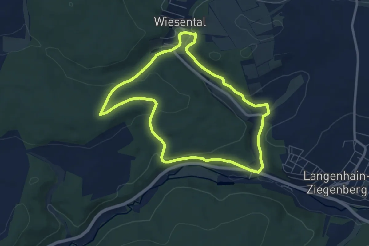
Easy · Summit
Wanderwege Wiesental - Eule
5.8 km · ↑ 146 m · 1 h 46 min
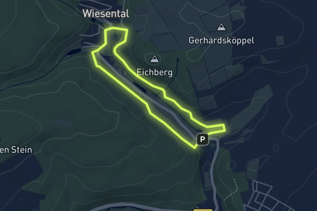
Easy · Trail
Wanderwege Wiesental - Libelle
3.1 km · ↑ 62 m · 55 min
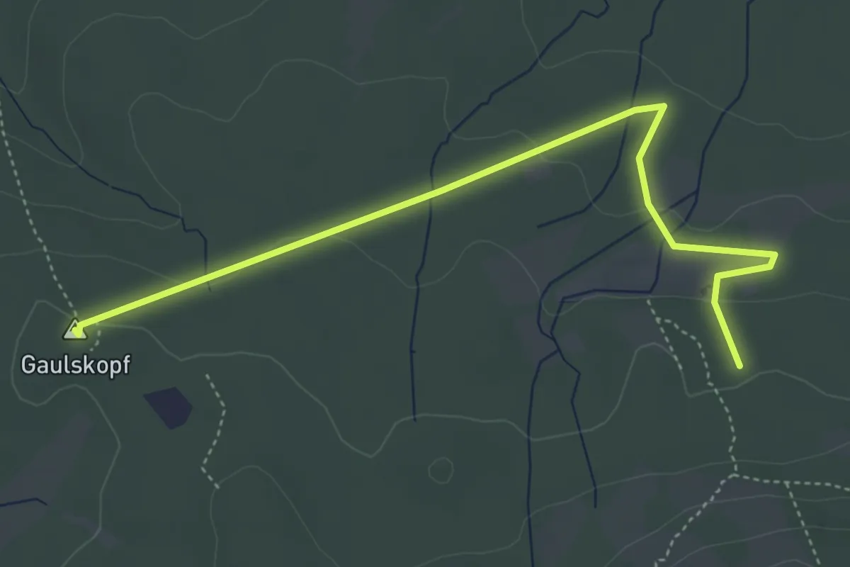
Easy · Summit
Wanderwege Winterstein - Alttier
4.7 km · ↑ 99 m · 1 h 20 min
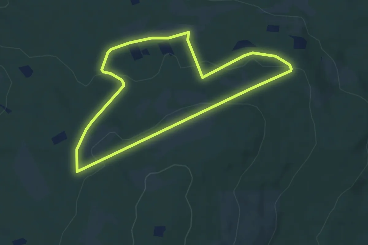
Easy · Trail
Wanderwege Winterstein - Keiler
4.7 km · ↑ 118 m · 1 h 26 min
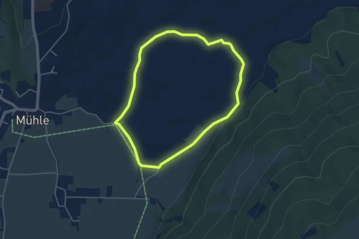
Easy · Trail
Wanderweg Filze
3.1 km · ↑ 19 m · 49 min
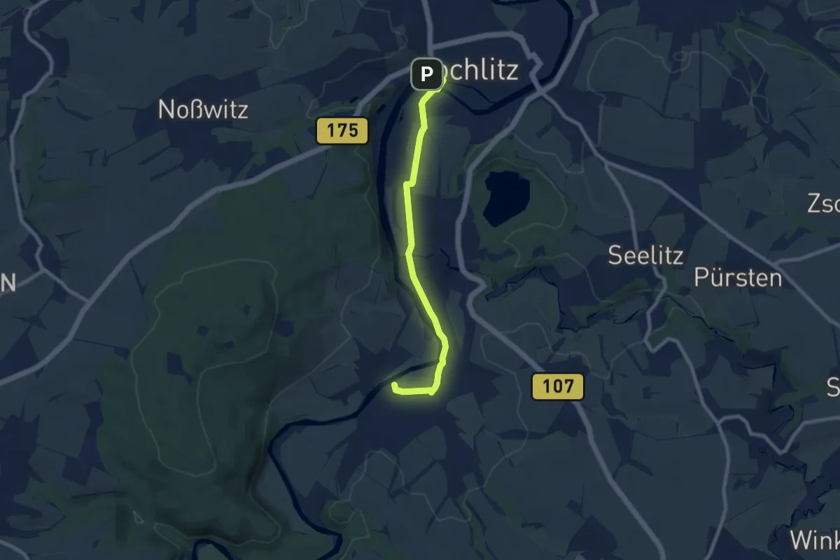
Easy · Trail
Wanderweg Fischheim – Steudten – Rochlitz
6.9 km · ↑ 17 m · 1 h 39 min
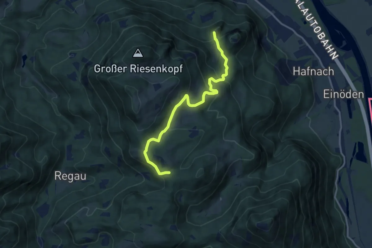
Medium · Summit
Wanderweg FL1 - Flintsbach
8.9 km · ↑ 464 m · 3 h 7 min
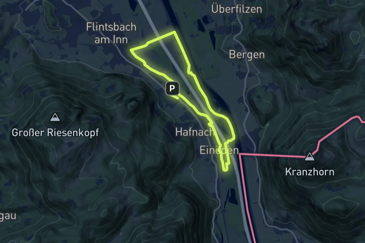
Medium · Trail
Wanderweg FL2 - Flintsbach
9.1 km · ↑ 41 m · 2 h 22 min
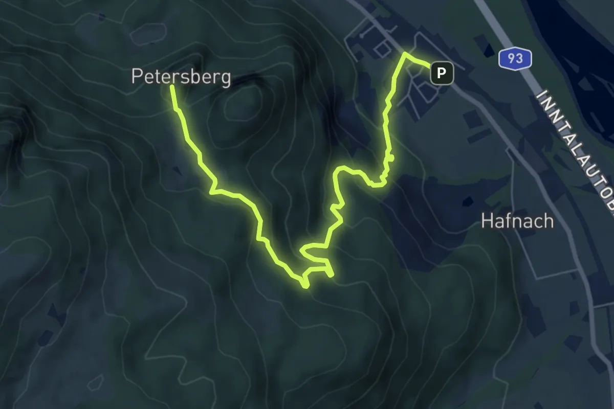
Medium · Summit
Wanderweg FL3 - Flintsbach
7.6 km · ↑ 431 m · 2 h 43 min
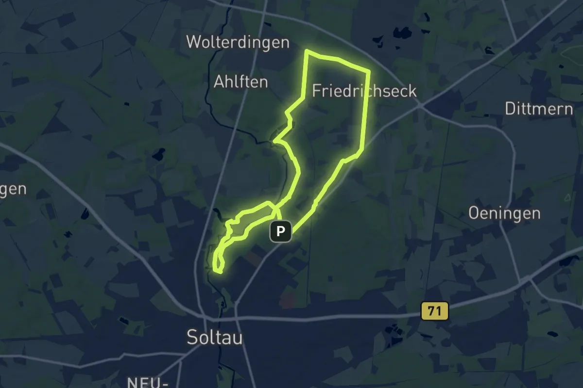
Medium · Trail
Wanderweg Forelle
10.3 km · ↑ 46 m · 2 h 40 min
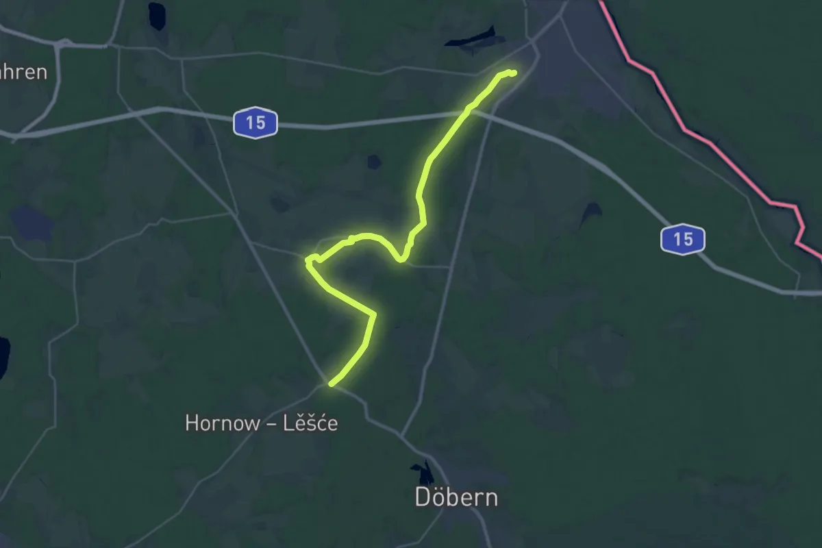
Demanding · Trail
Wanderweg Forst - Bohsdorf Vorwerk, Bushalte.
29.7 km · ↑ 130 m · 7 h 18 min
Demanding · Trail
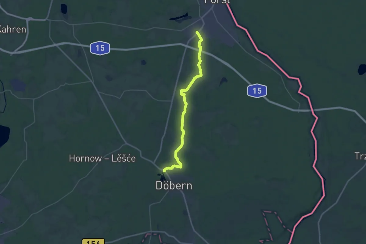
Wanderweg Forst-Döbern
27.8 km · ↑ 93 m · 6 h 45 min
Medium · Trail
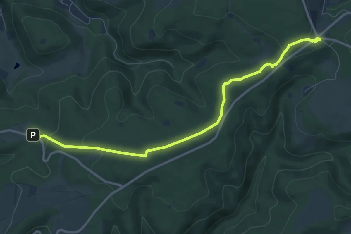
Wanderweg Forsthaus-Weg FH
8.4 km · ↑ 184 m · 2 h 22 min
Medium · Summit
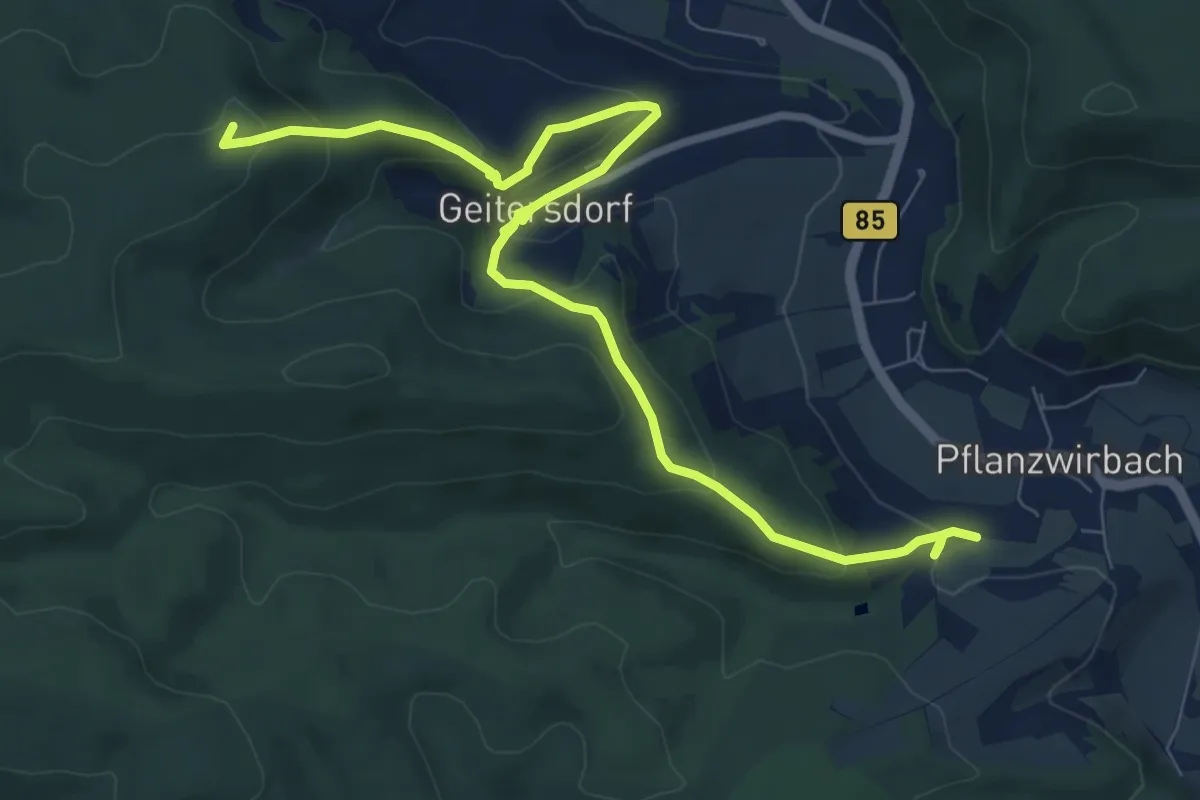
Wanderweg Frankenstieg-Geitersdorf
9.2 km · ↑ 428 m · 3 h 6 min
Medium · Summit
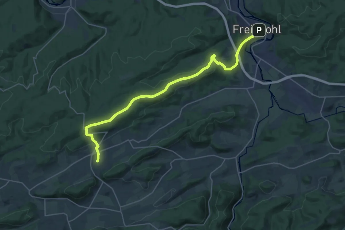
Wanderweg Freienohl-Hellefeld
10.0 km · ↑ 303 m · 3 h 7 min
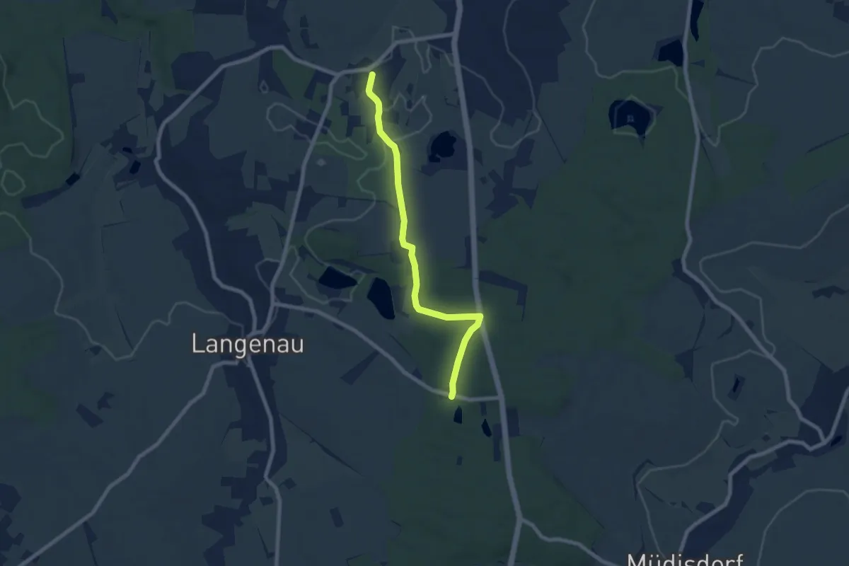
Easy · Trail
Wanderweg Freiwald...?
6.5 km · ↑ 60 m · 1 h 39 min
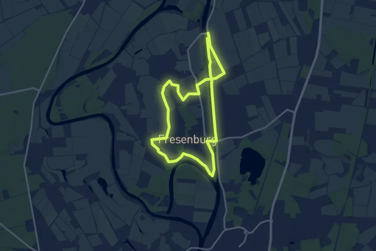
Medium · Trail
Wanderweg Fresenburg
8.3 km · ↑ 13 m · 2 h 7 min
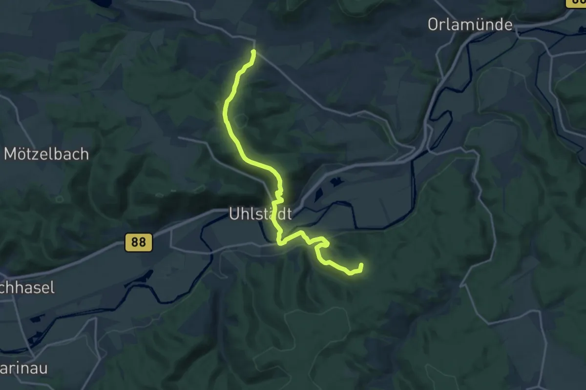
Medium · Summit
Wanderweg Friedebach-Uhlstädt-Heilingen (grüner Balken)
14.8 km · ↑ 572 m · 4 h 44 min
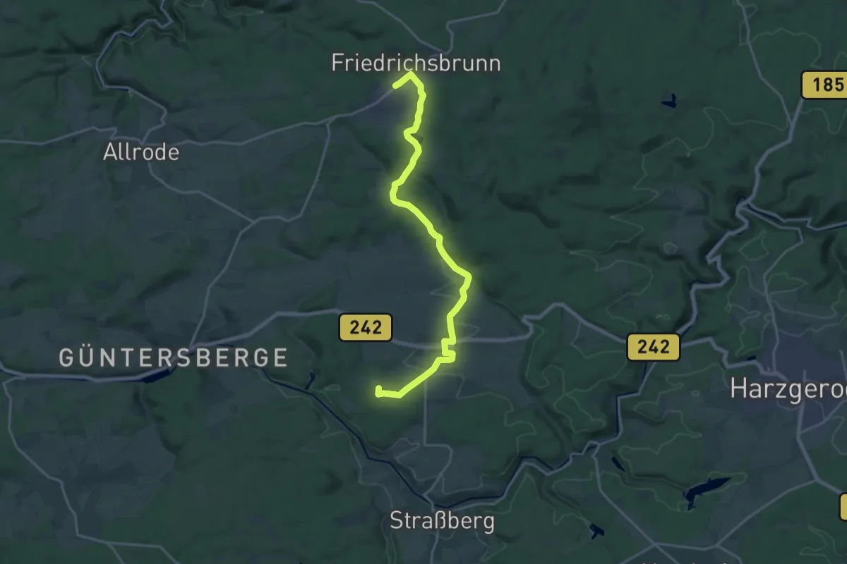
Demanding · Summit
Wanderweg Friedrichsbrunn - Güntersberge
18.0 km · ↑ 304 m · 4 h 55 min
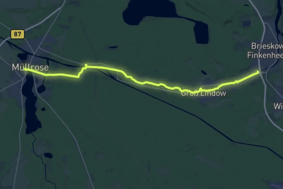
Demanding · Trail
Wanderweg Friedrich-Wilhelm-Kanal
23.8 km · ↑ 39 m · 5 h 43 min
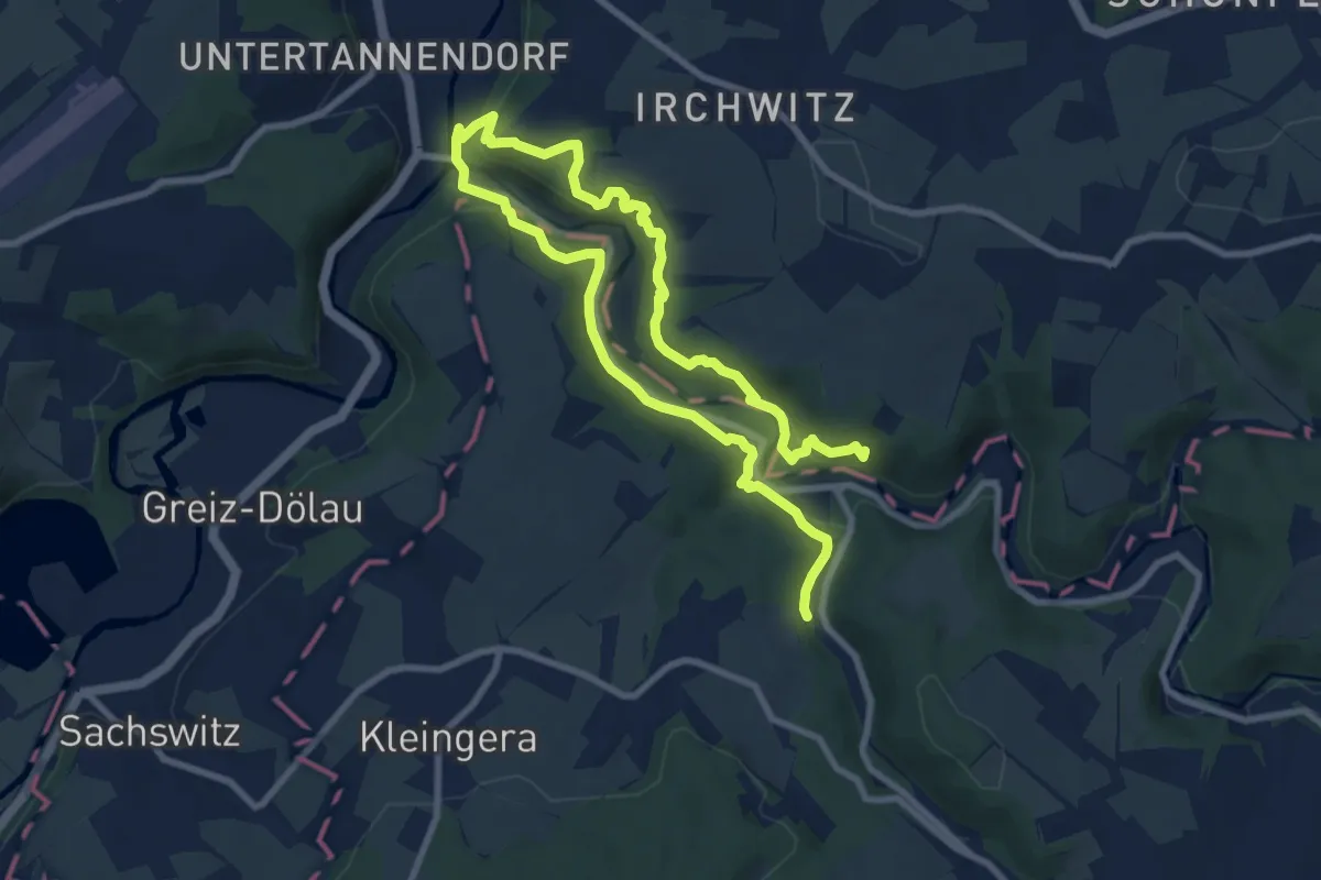
Demanding · Summit
Wanderweg Friesen-Köhlersteig-Stoppachtal-Bhf Netzschkau
13.0 km · ↑ 533 m · 4 h 13 min
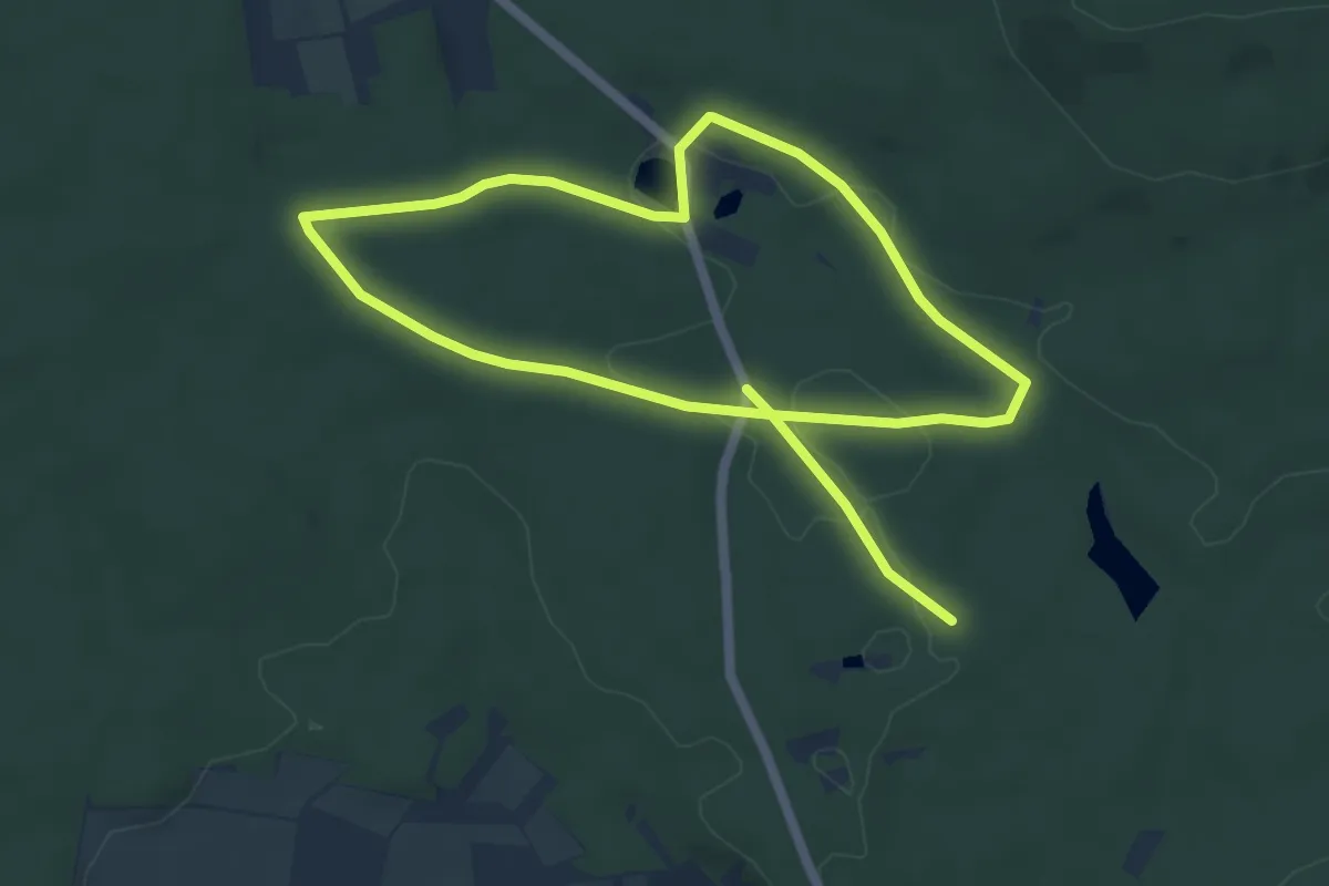
Medium · Trail
Wanderweg für Behinderte Naturpark Hassberge
9.1 km · ↑ 110 m · 2 h 23 min
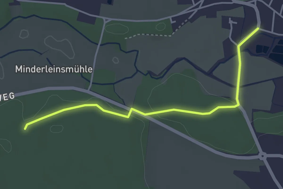
Easy · Trail
Wanderweg Fürth - Kleinsendelbach
3.3 km · ↑ 45 m · 53 min
Medium · Trail
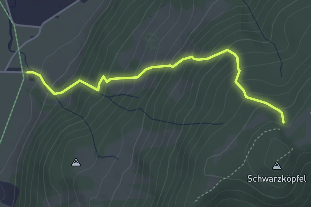
Wanderweg G 4 - Isarwinkel
3.6 km · ↑ 440 m · 1 h 49 min
Demanding · Summit
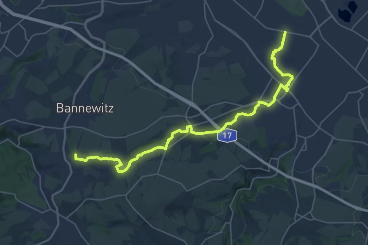
Wanderweg Gebergrund
20.6 km · ↑ 253 m · 5 h 24 min
Easy · Trail
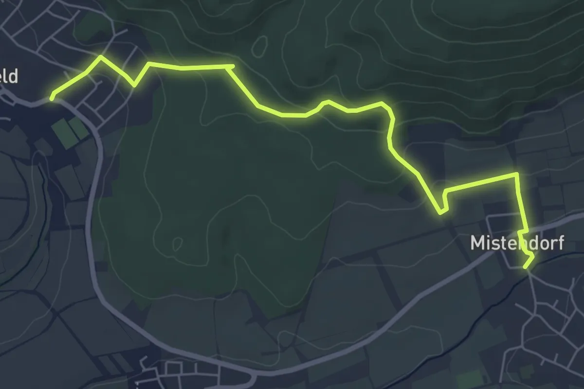
Wanderweg Geisfeld - Mistendorf
6.1 km · ↑ 225 m · 1 h 55 min
Easy · Trail
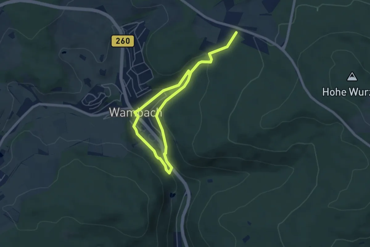
Wanderweg Gelbe Kirche
6.8 km · ↑ 226 m · 2 h 6 min