Trails in Germany
36,852 hiking trails, each with its route, climb, walking time and grade.
All trails, page 714 of 768
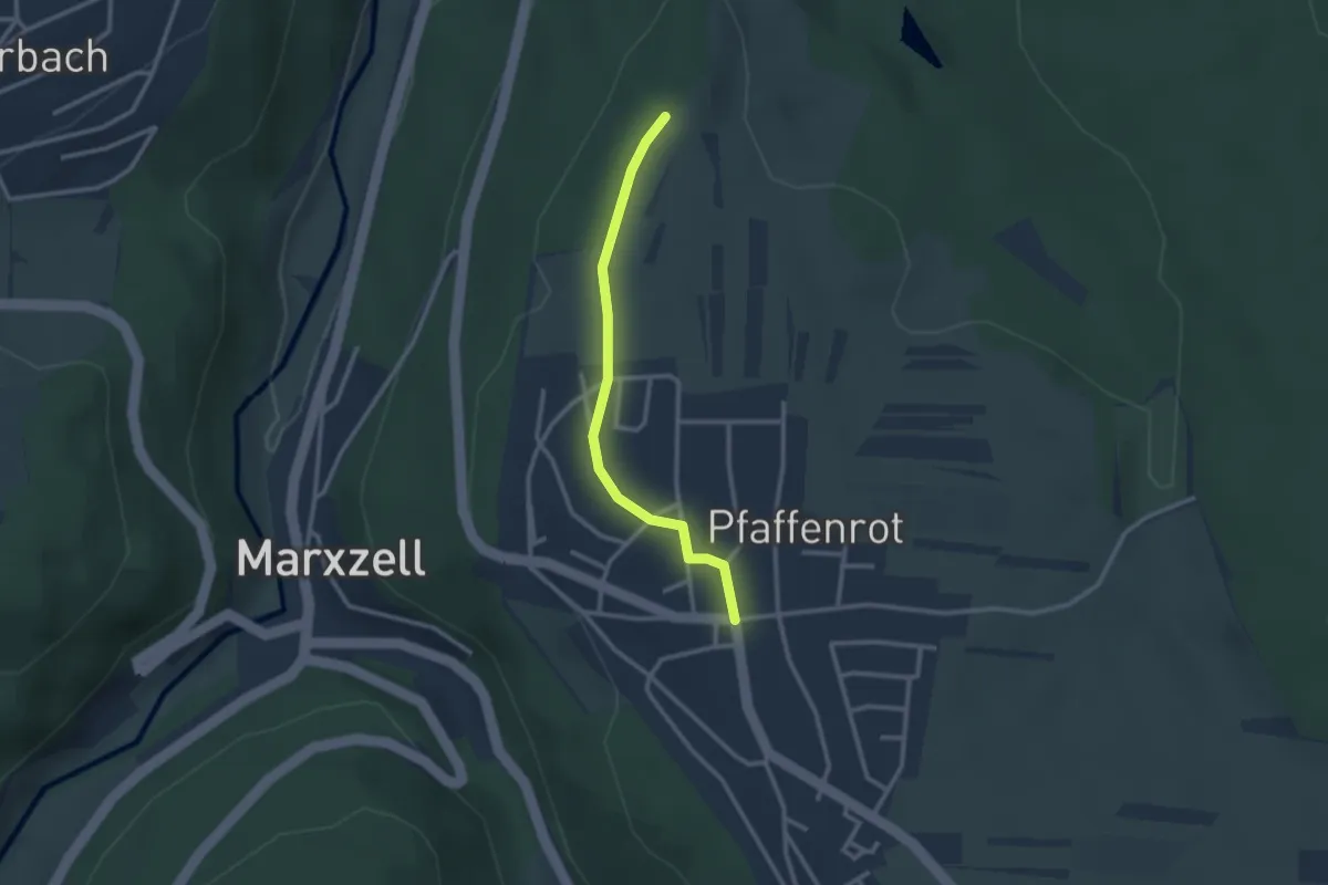
Easy · Trail
Wegkreuz Maretrain - Pfaffenrot Wendelinus-Kapelle
2.4 km · ↑ 26 m · 37 min
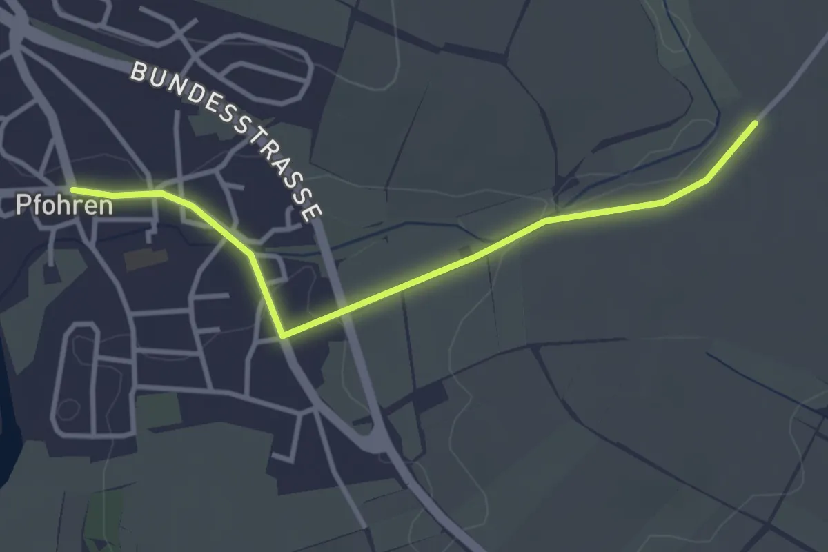
Easy · Trail
Wegkreuz - Pfohren Dorfplatz
3.1 km · ↑ 4 m · 45 min
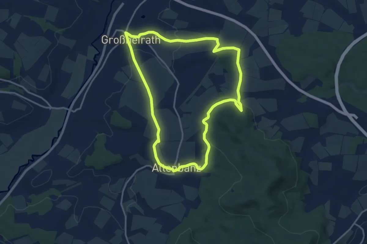
Medium · Trail
Weg Kulch/Großheirather Runde (Großheirath)
9.8 km · ↑ 210 m · 2 h 54 min
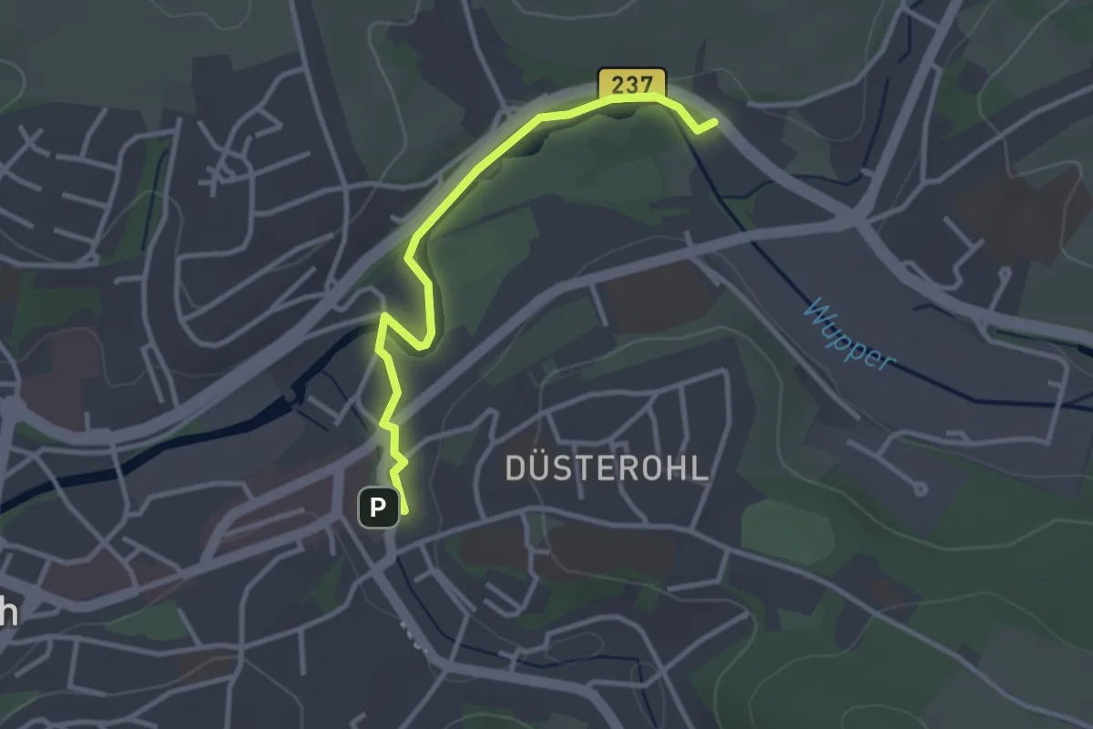
Easy · Trail
Weg "leeres Quadrat"
2.7 km · ↑ 30 m · 43 min
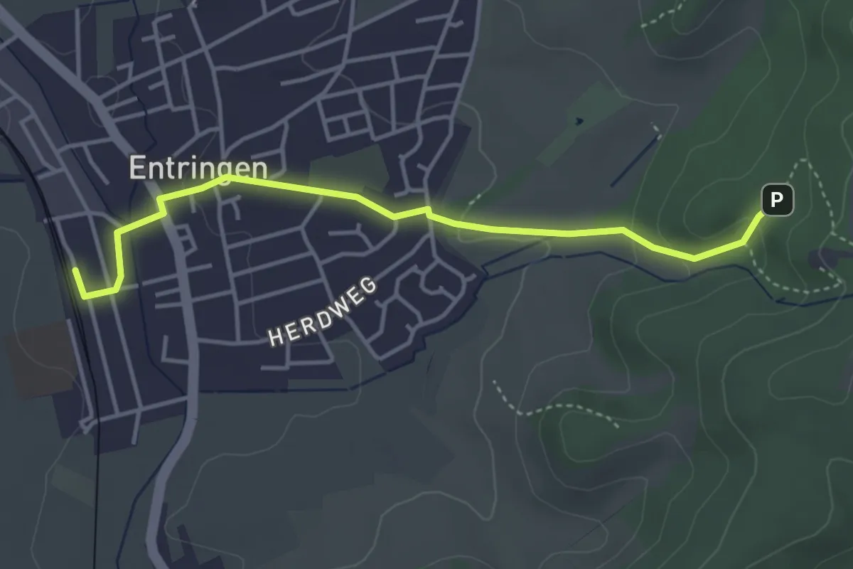
Easy · Trail
Weglinie Entringen - Hohenentringen
3.9 km · ↑ 92 m · 1 h 7 min
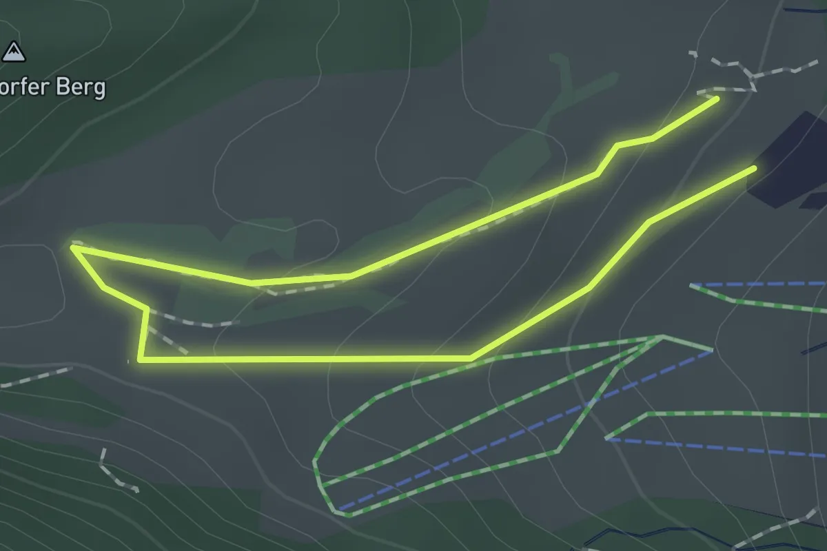
Medium · Summit
Weg Nr. 1 - Zum Glescherblick - Oberaudorf/Hocheck
1.2 km · ↑ 48 m · 24 min
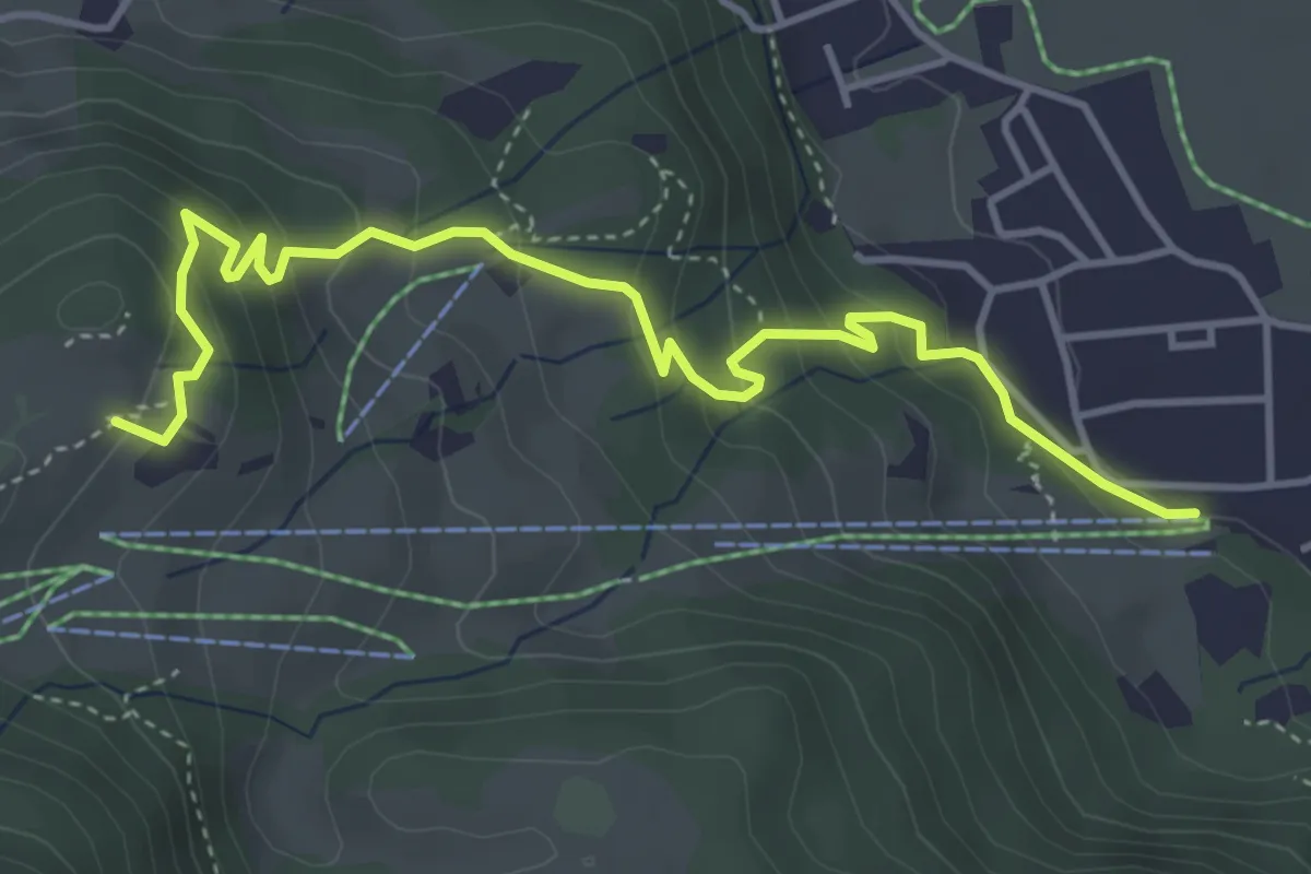
Medium · Summit
Weg Nr. 3 - Von der Bergstation zur Talstation - Oberaudorf/Hocheck
4.7 km · ↑ 363 m · 1 h 54 min
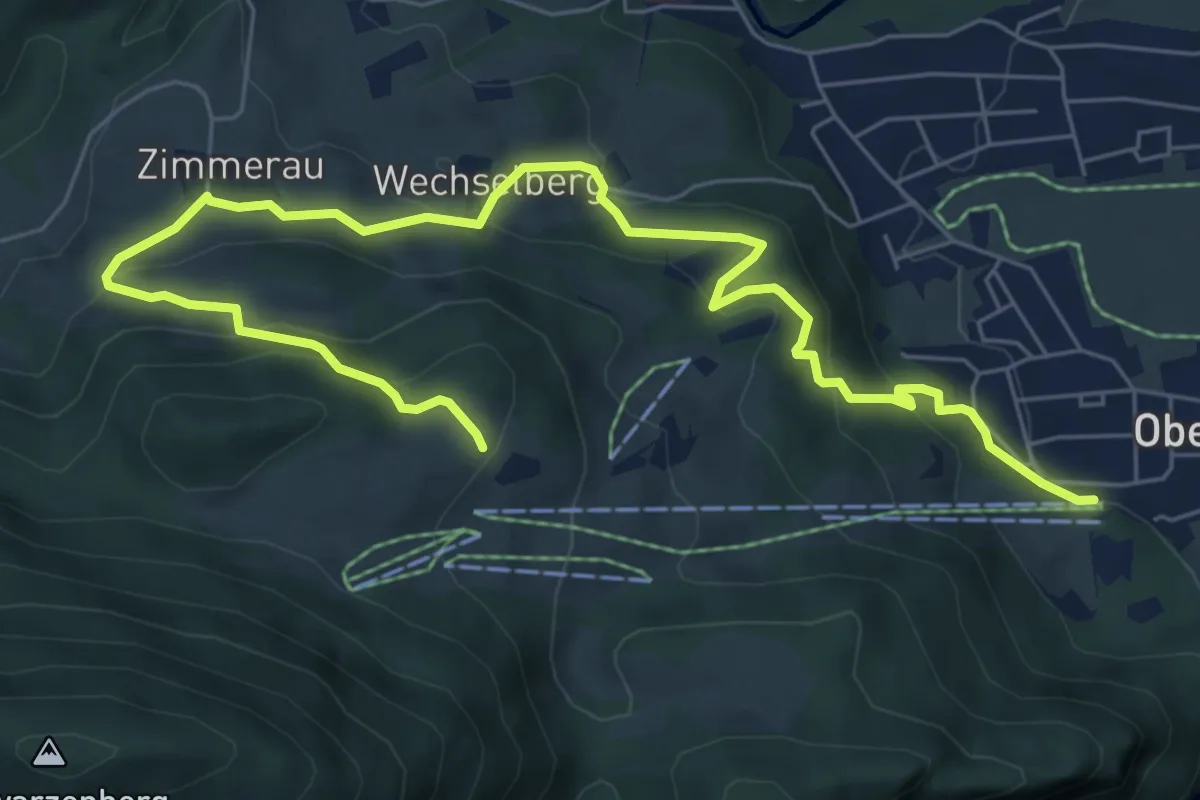
Medium · Summit
Weg Nr. 4 - Von Bauernhof zu Bauernhof - Oberaudorf/Hocheck
8.5 km · ↑ 442 m · 2 h 58 min
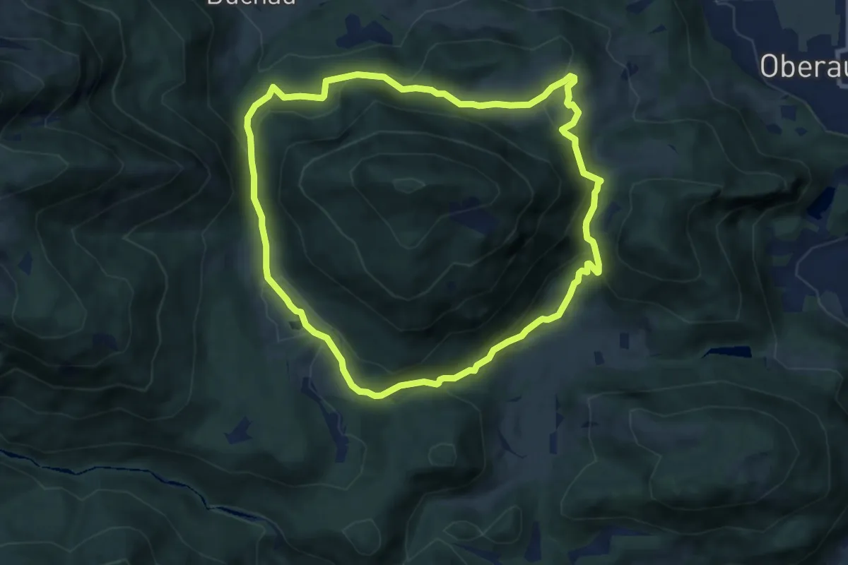
Medium · Summit
Weg Nr. 5 - Höhenrundweg um den Scharzenberg - Oberaudorf/Hocheck
7.8 km · ↑ 371 m · 2 h 45 min
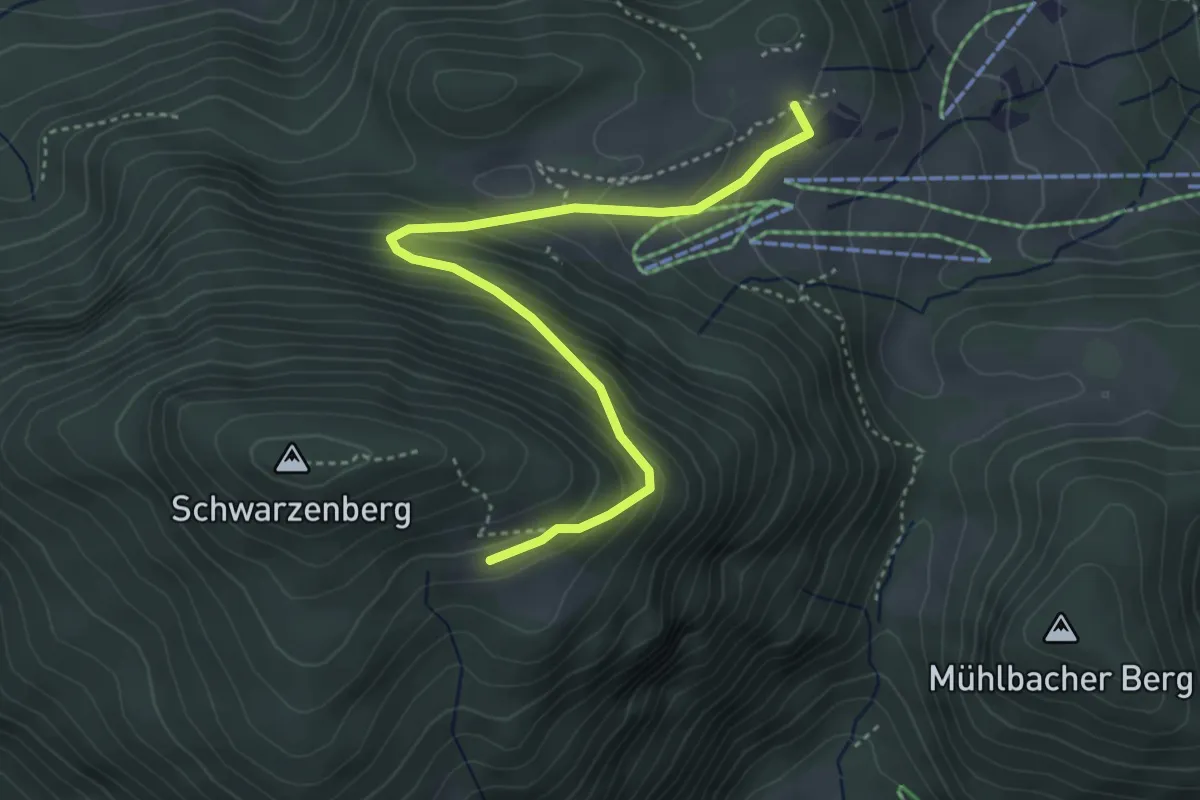
Medium · Summit
Weg Nr. 6 - Ramsauer Alm - Oberaudorf/Hocheck
4.1 km · ↑ 326 m · 1 h 40 min
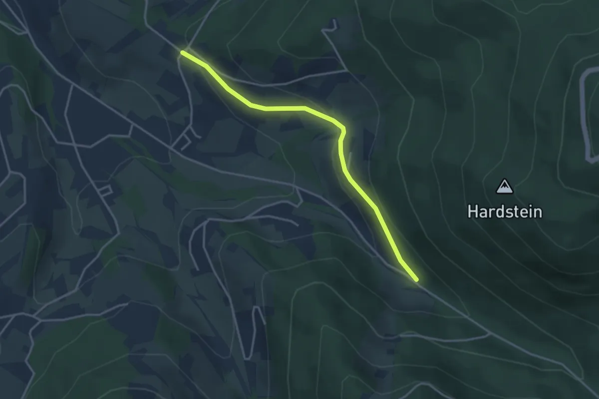
Easy · Trail
Wegscheide - Eiserne Brücke
3.1 km · ↑ 124 m · 1 h
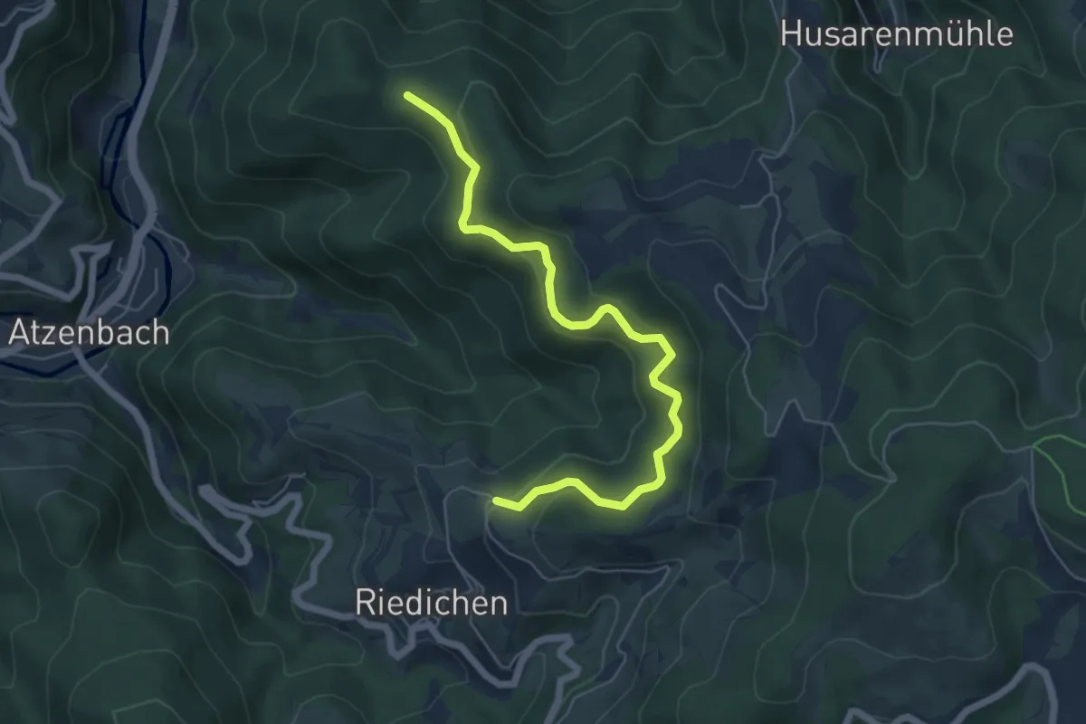
Medium · Trail
Wegscheidekopf - Riedichen Bödemle
5.9 km · ↑ 379 m · 2 h 13 min
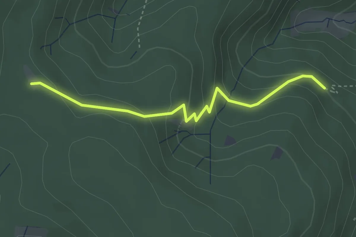
Easy · Trail
Wegscheid - Haulerloch
3.1 km · ↑ 178 m · 1 h 7 min
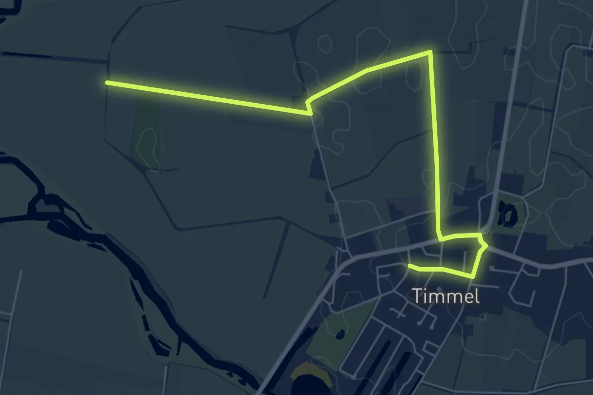
Easy · Trail
Weg Schöpfwerk Timmel
6.3 km · ↑ 0 m · 1 h 29 min
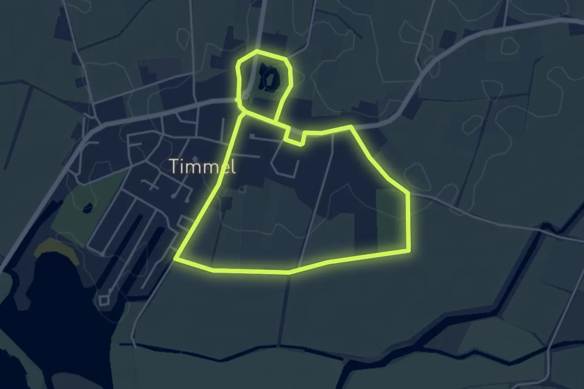
Easy · Trail
Weg Seefahrtsschule Timmel
3.6 km · ↑ 4 m · 54 min
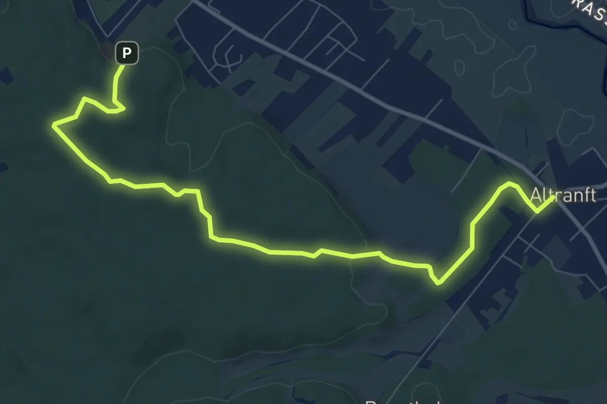
Medium · Trail
Weg über die Berge nach Altranft
8.6 km · ↑ 131 m · 2 h 19 min
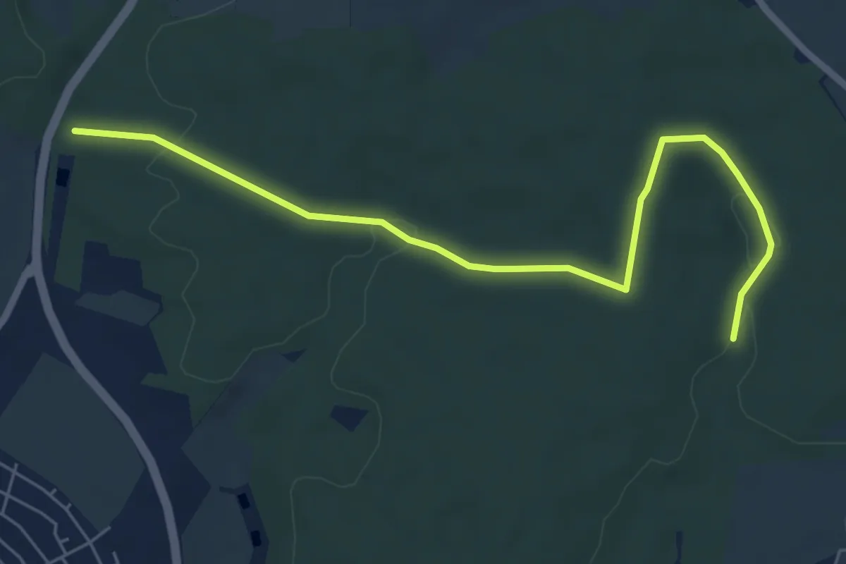
Easy · Trail
Wegverbindung durch den Hermannswinkel
6.0 km · ↑ 102 m · 1 h 38 min
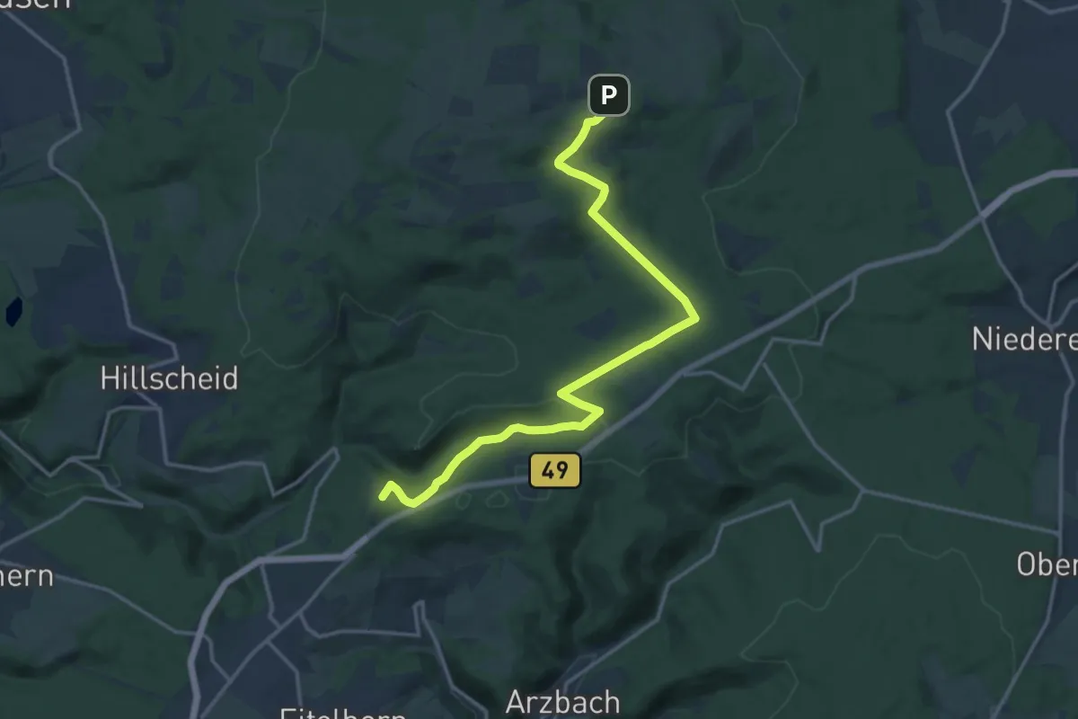
Medium · Summit
Weg Wanderparkplatz Neuhäusel Ost - Köppel
14.4 km · ↑ 284 m · 4 h 1 min
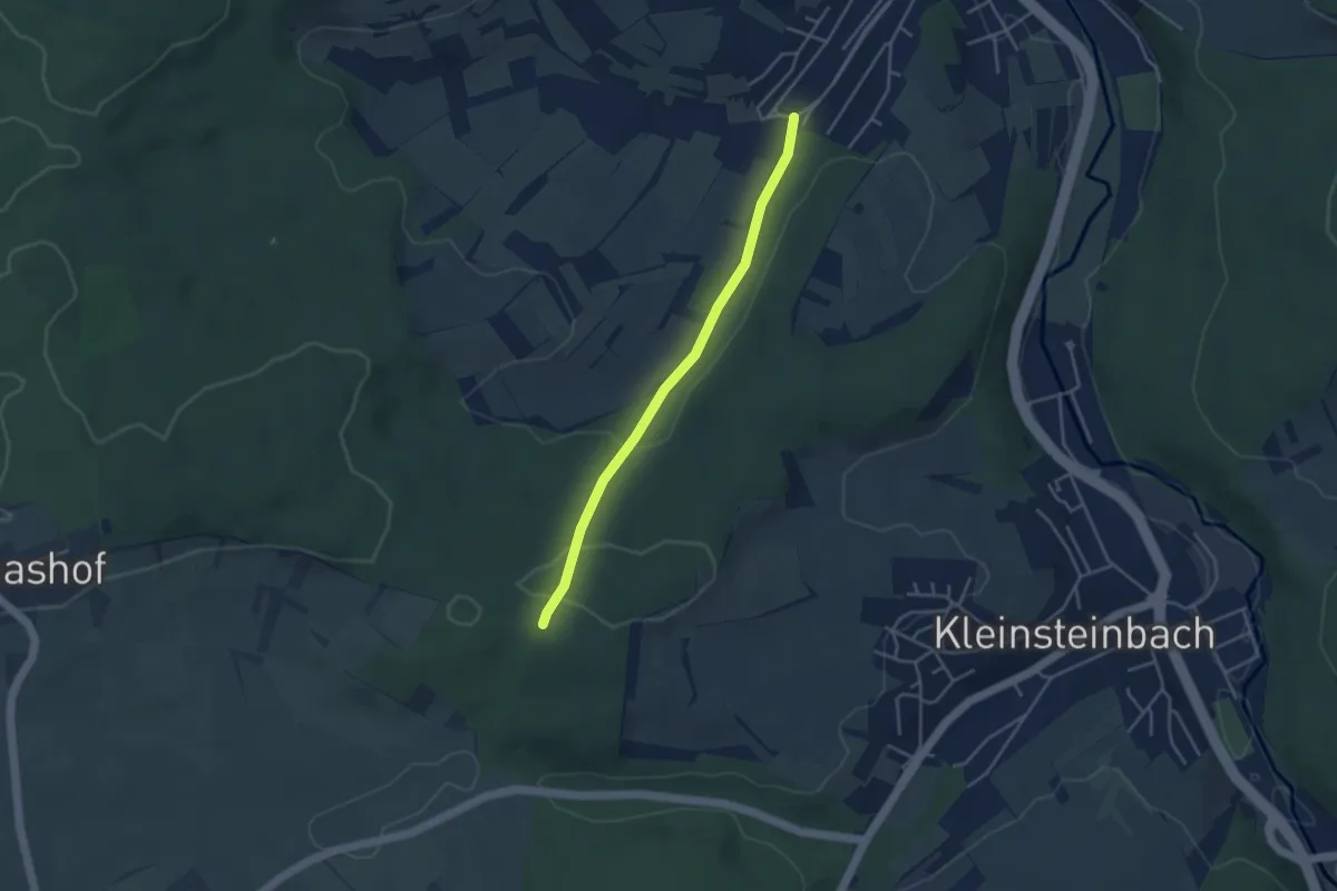
Easy · Trail
Wegweiser Dreimärker - Wegweiser Hirschtal
3.5 km · ↑ 100 m · 1 h 3 min
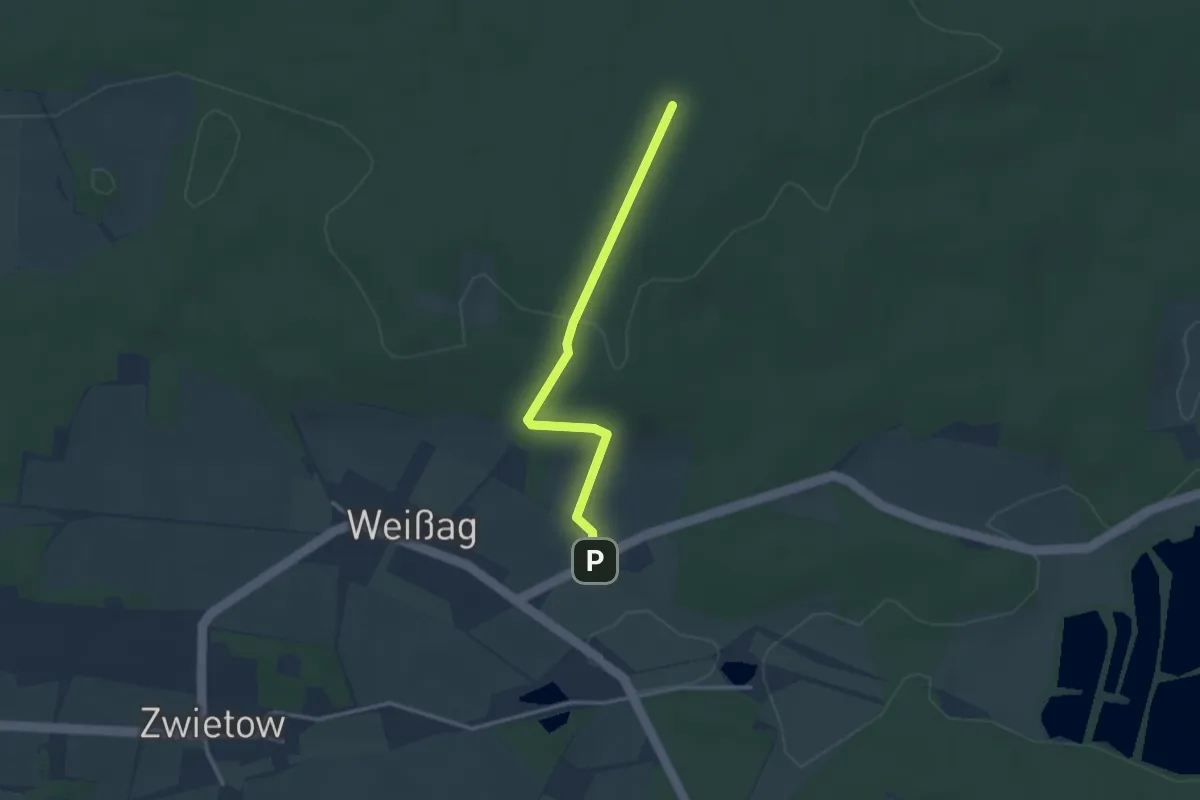
Easy · Trail
Weg zum Aussichtsturm
2.6 km · ↑ 64 m · 45 min
Easy · Summit
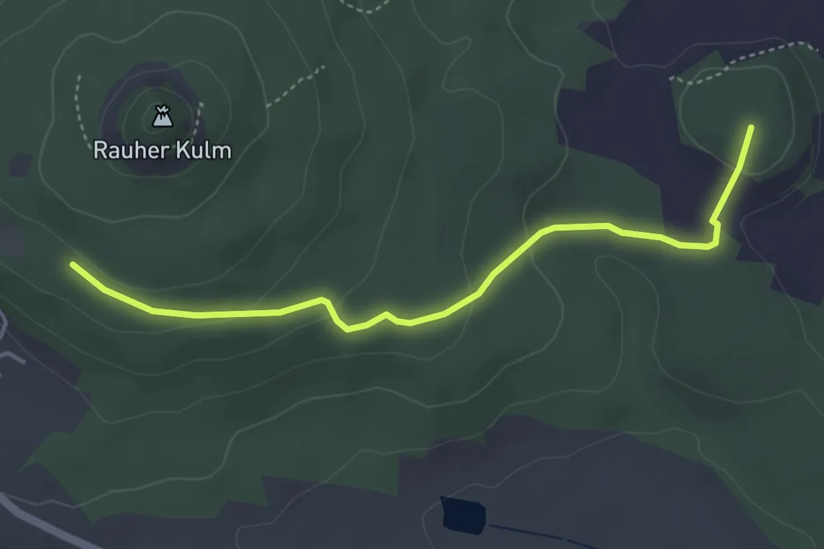
Weha-Weg
3.9 km · ↑ 113 m · 1 h 10 min
Medium · Trail
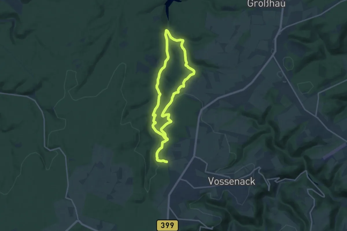
Weheschlucht
11.0 km · ↑ 191 m · 3 h 10 min
Easy · Trail
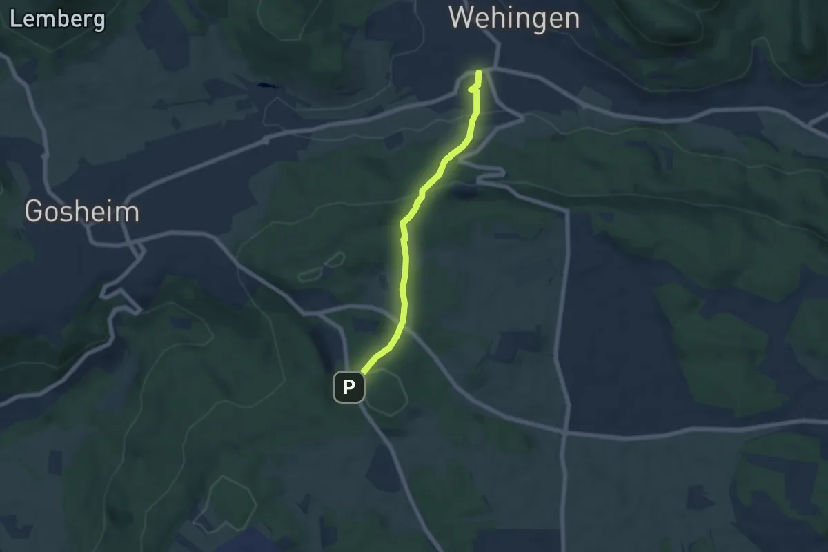
Wehingen - HW1 Hummelsberg
5.2 km · ↑ 244 m · 1 h 45 min
Demanding · Summit
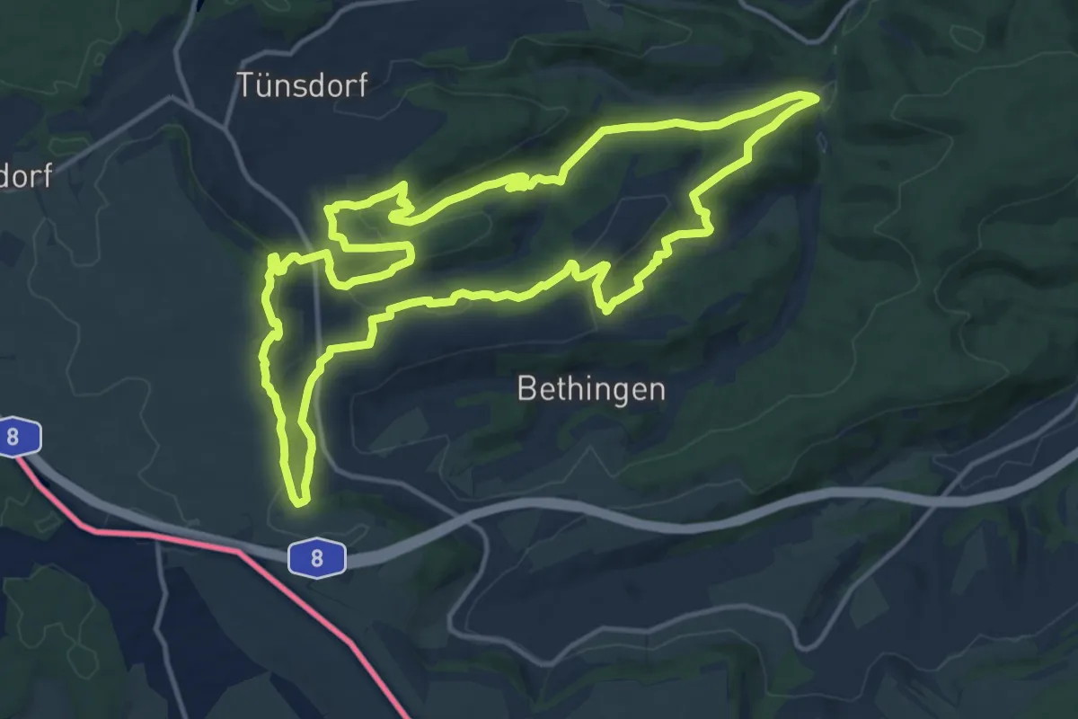
Wehinger Viezpfad
13.9 km · ↑ 470 m · 4 h 29 min
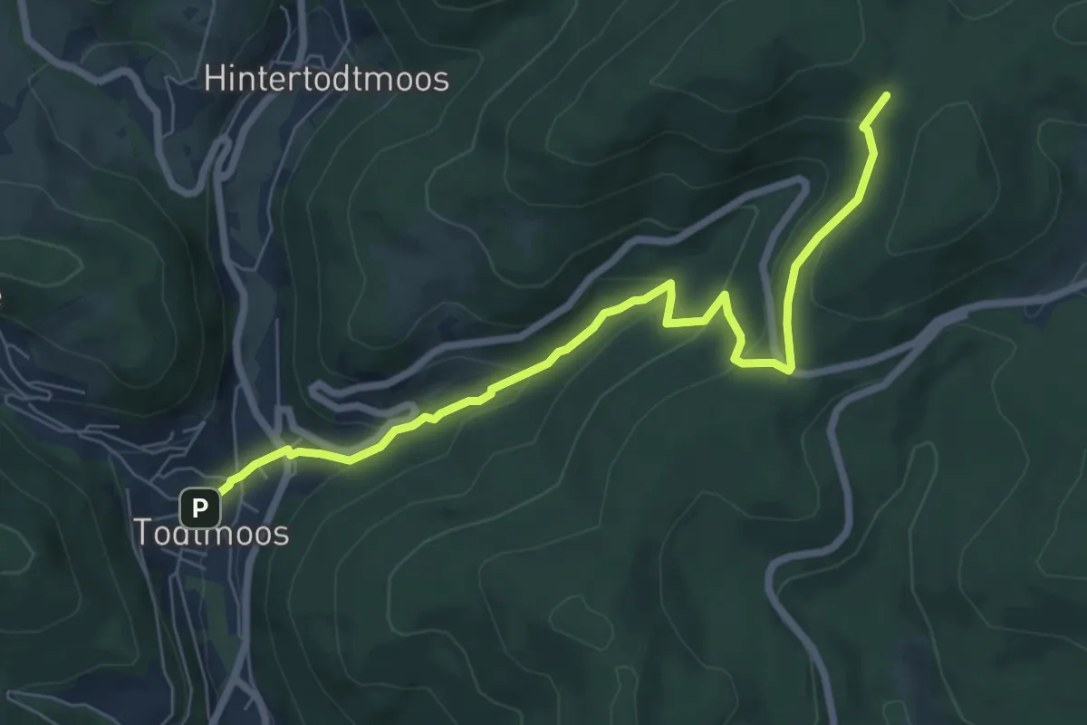
Medium · Trail
Wehratal-Erlebnisweg [Todtmoos]
7.2 km · ↑ 337 m · 2 h 26 min
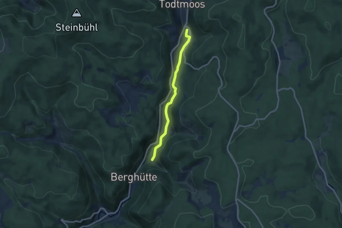
Easy · Trail
Wehratalweg
6.5 km · ↑ 179 m · 1 h 55 min
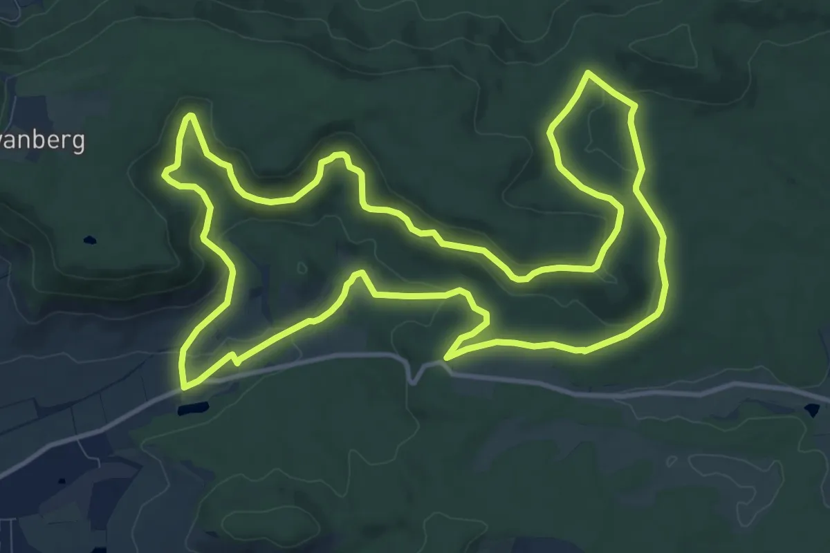
Medium · Trail
Wehrbachschluchtweg
12.0 km · ↑ 298 m · 3 h 38 min
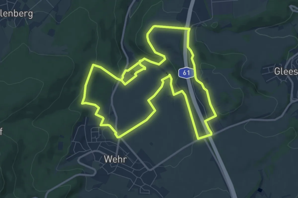
Medium · Trail
Wehrer Kesselweg
17.1 km · ↑ 366 m · 4 h 50 min
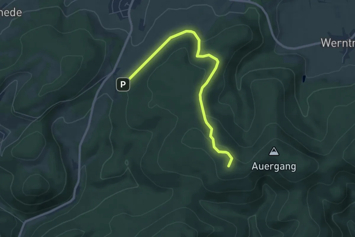
Easy · Summit
Wehrscheid Rundweg A1
6.0 km · ↑ 166 m · 1 h 46 min
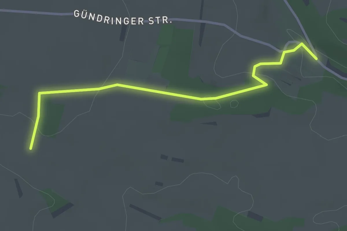
Easy · Trail
Weibelsäcker - Schalkwäldle
2.9 km · ↑ 51 m · 48 min
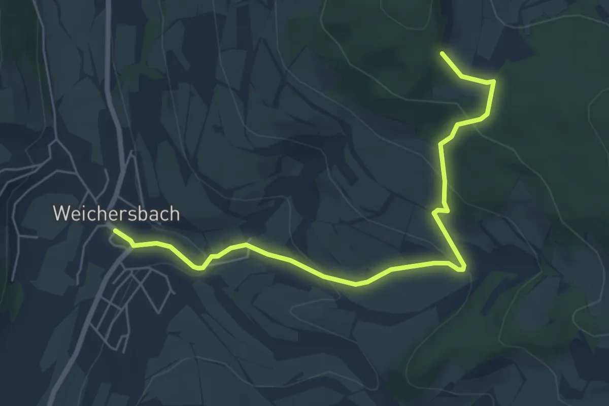
Easy · Trail
Weichersbach - Blaue Geiß
2.8 km · ↑ 0 m · 49 min
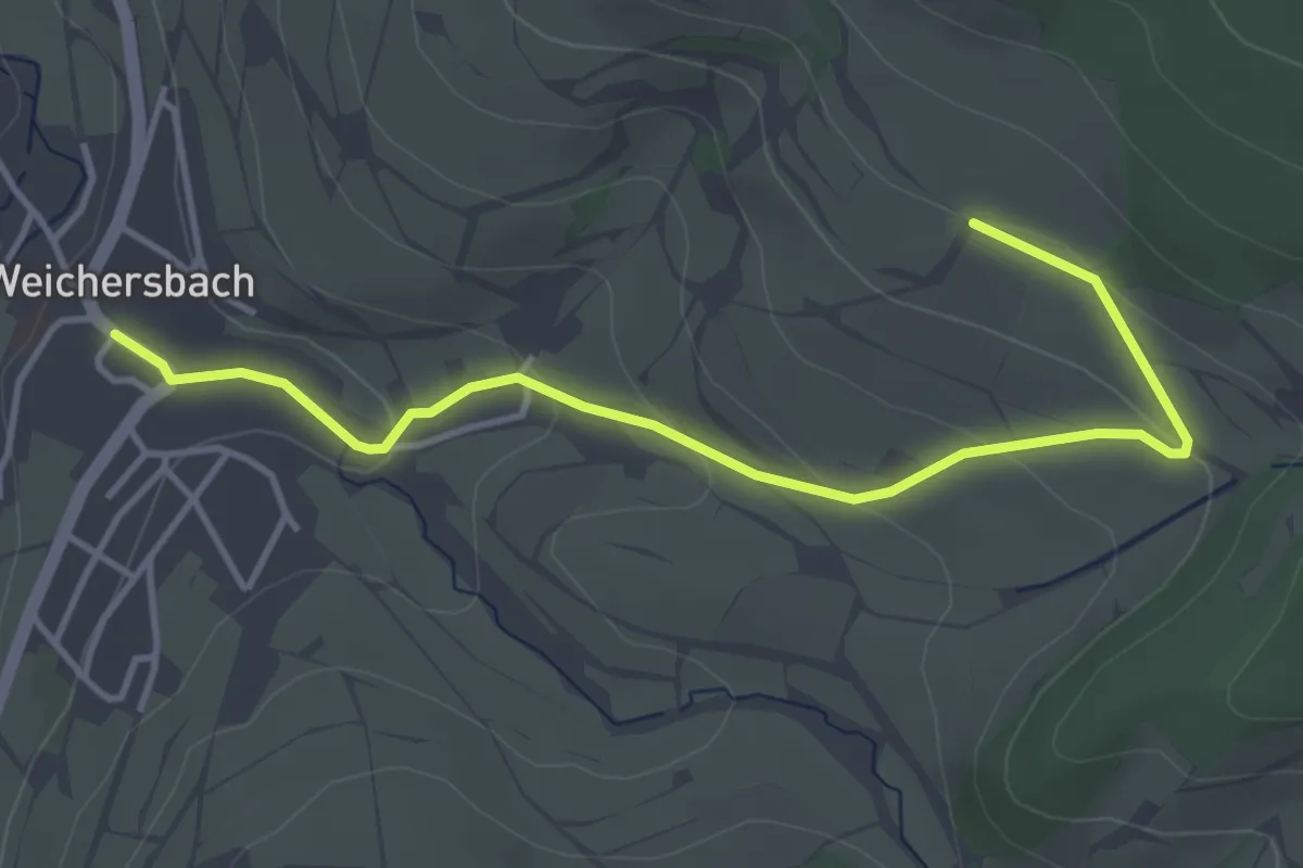
Easy · Trail
Weichersbach - Gelbe Geiß
2.0 km · ↑ 0 m · 34 min
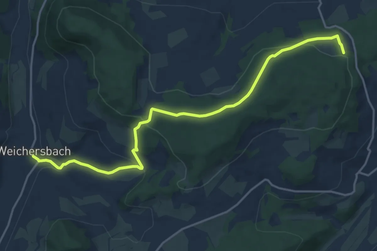
Easy · Trail
Weichersbach - Grüne Geiß
5.7 km · ↑ 82 m · 1 h 42 min
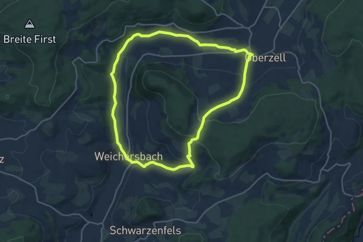
Medium · Trail
Weichersbach - Rote Geiß
10.6 km · ↑ 286 m · 3 h 16 min
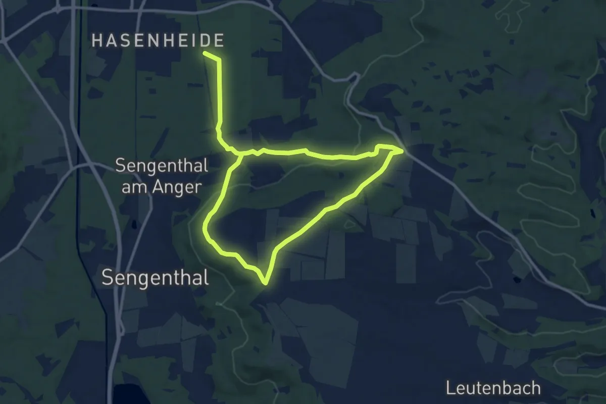
Easy · Trail
Weichselsteinweg
7.6 km · ↑ 164 m · 2 h 16 min
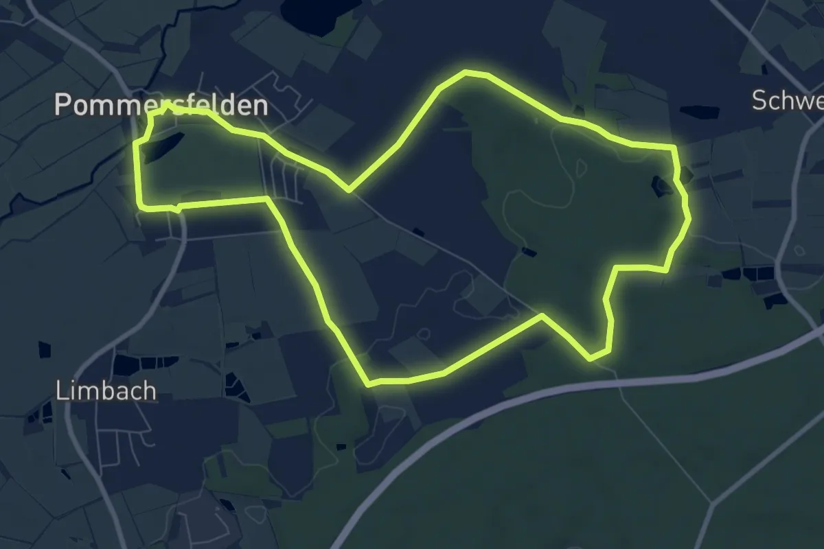
Medium · Trail
Weichweg Pommersfelden
8.3 km · ↑ 65 m · 2 h 13 min
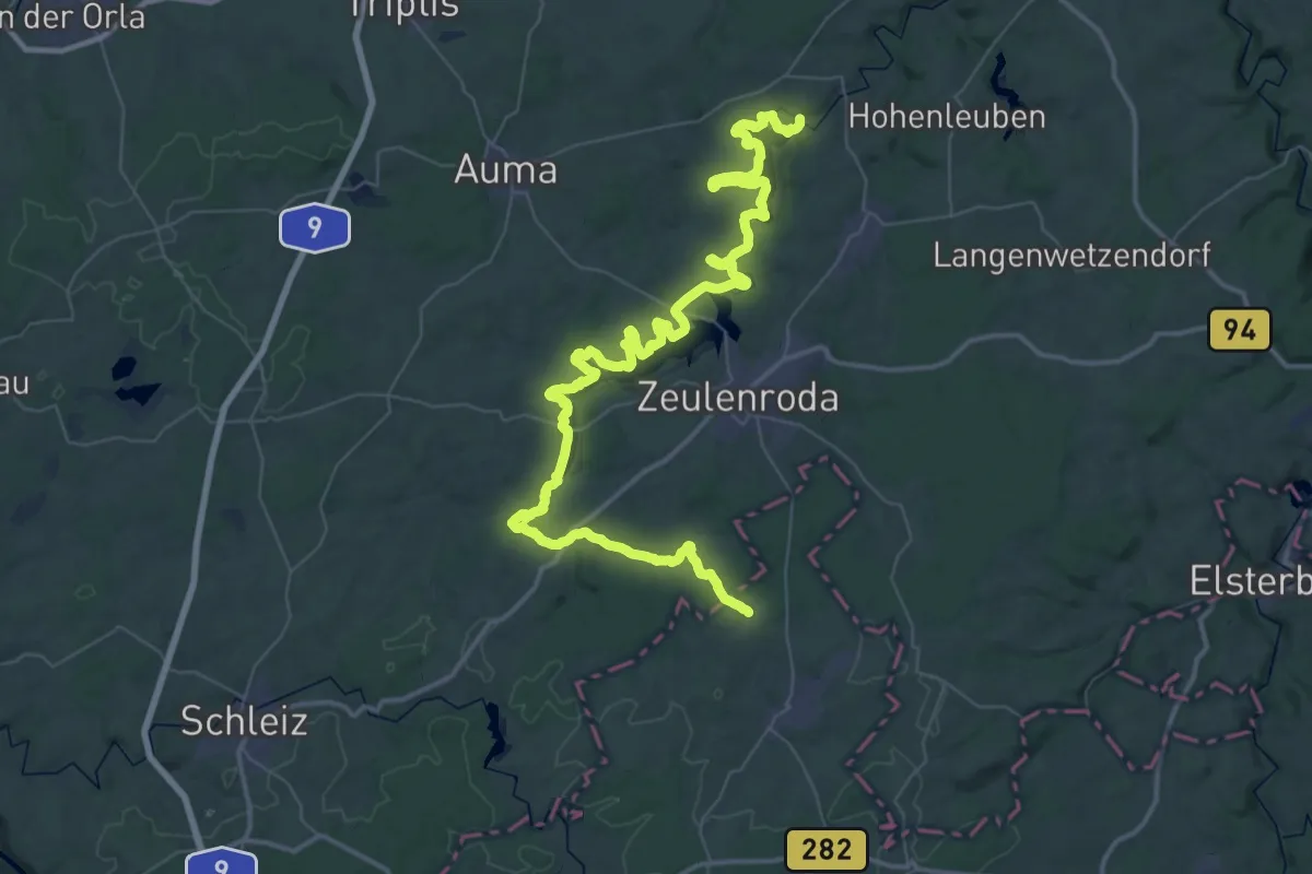
Demanding · Trail
Weidatalweg
33.5 km · ↑ 350 m · 9 h 11 min
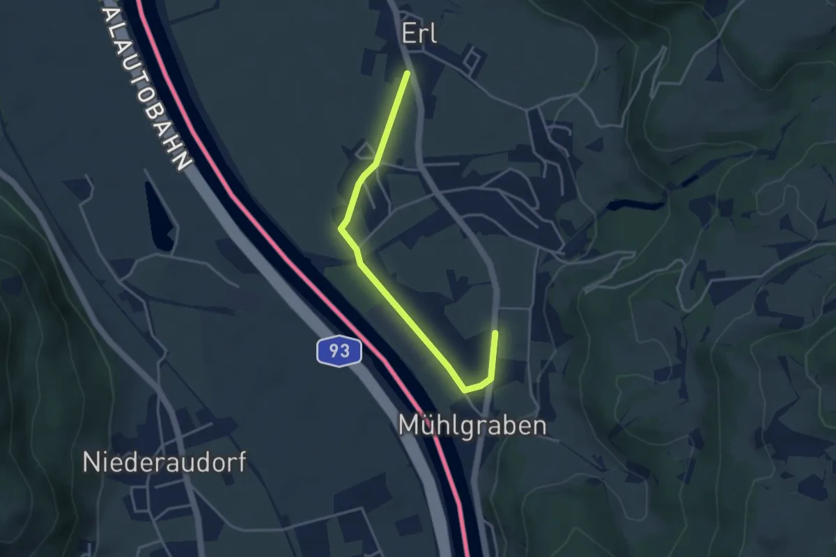
Easy · Trail
Weidau-Runde
3.5 km · ↑ 21 m · 52 min
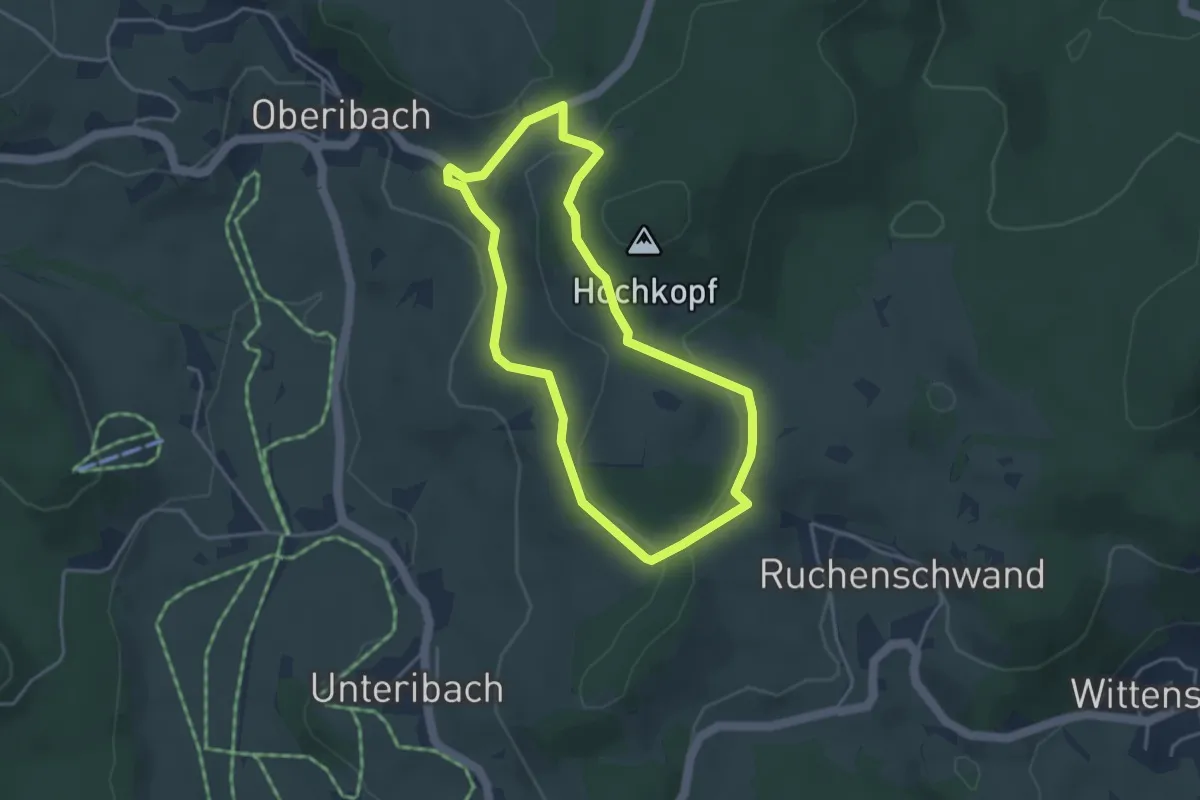
Easy · Trail
Weidelehrpfad
3.4 km · ↑ 89 m · 1 h 3 min
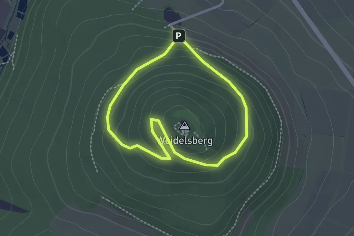
Easy · Summit
Weidelsburg, Rundweg 1
1.7 km · ↑ 90 m · 37 min
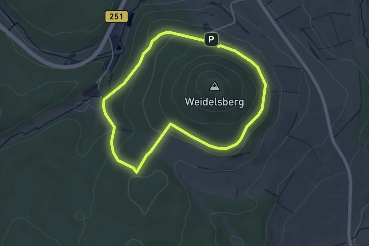
Easy · Trail
Weidelsburg, Rundweg 2
3.2 km · ↑ 99 m · 1 h 1 min
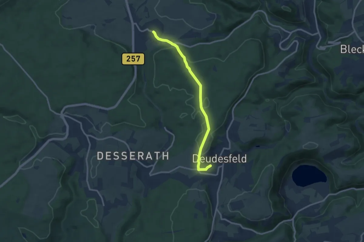
Easy · Trail
Weidenbach - Deudesfeld
7.7 km · ↑ 127 m · 2 h 6 min
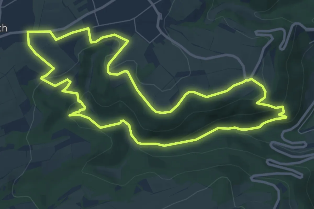
Medium · Trail
Weidenbachtal
7.0 km · ↑ 201 m · 2 h 11 min
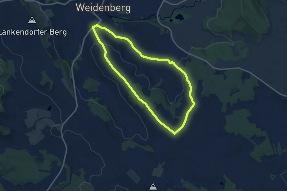
Easy · Trail
Weidenberg Rundwanderweg Nr. 1
6.8 km · ↑ 104 m · 1 h 56 min
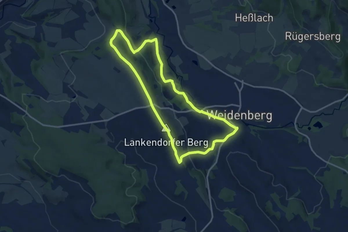
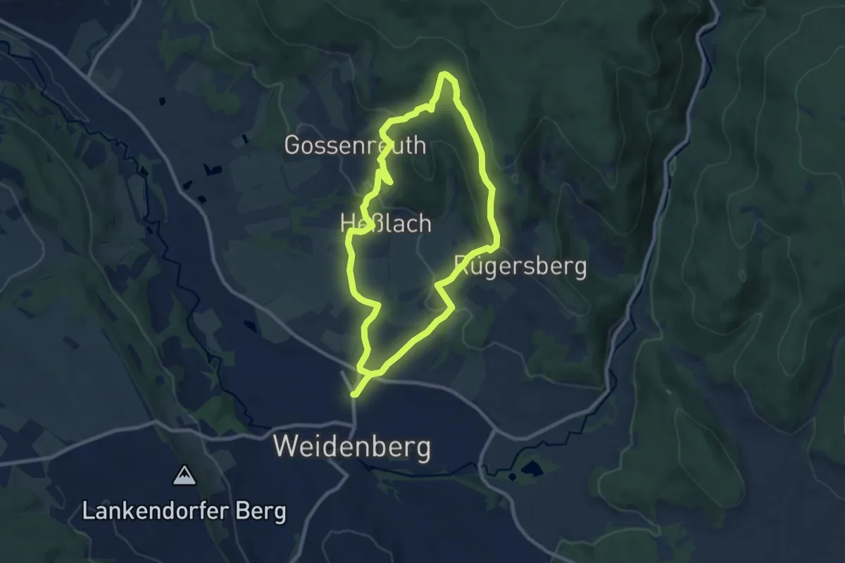
Medium · Summit
Weidenberg Rundwanderweg Nr. 2
8.8 km · ↑ 235 m · 2 h 42 min
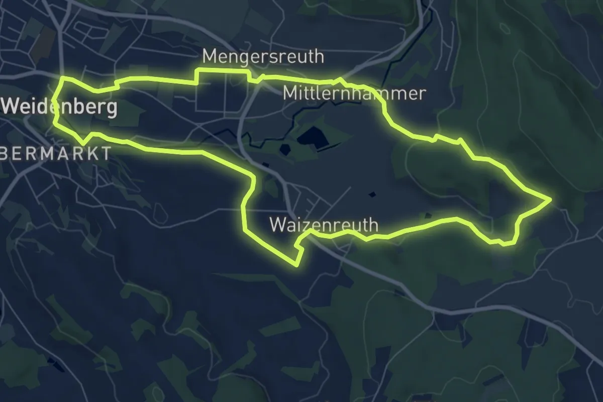
Easy · Trail
Weidenberg Rundwanderweg Nr. 3
7.7 km · ↑ 256 m · 2 h 29 min
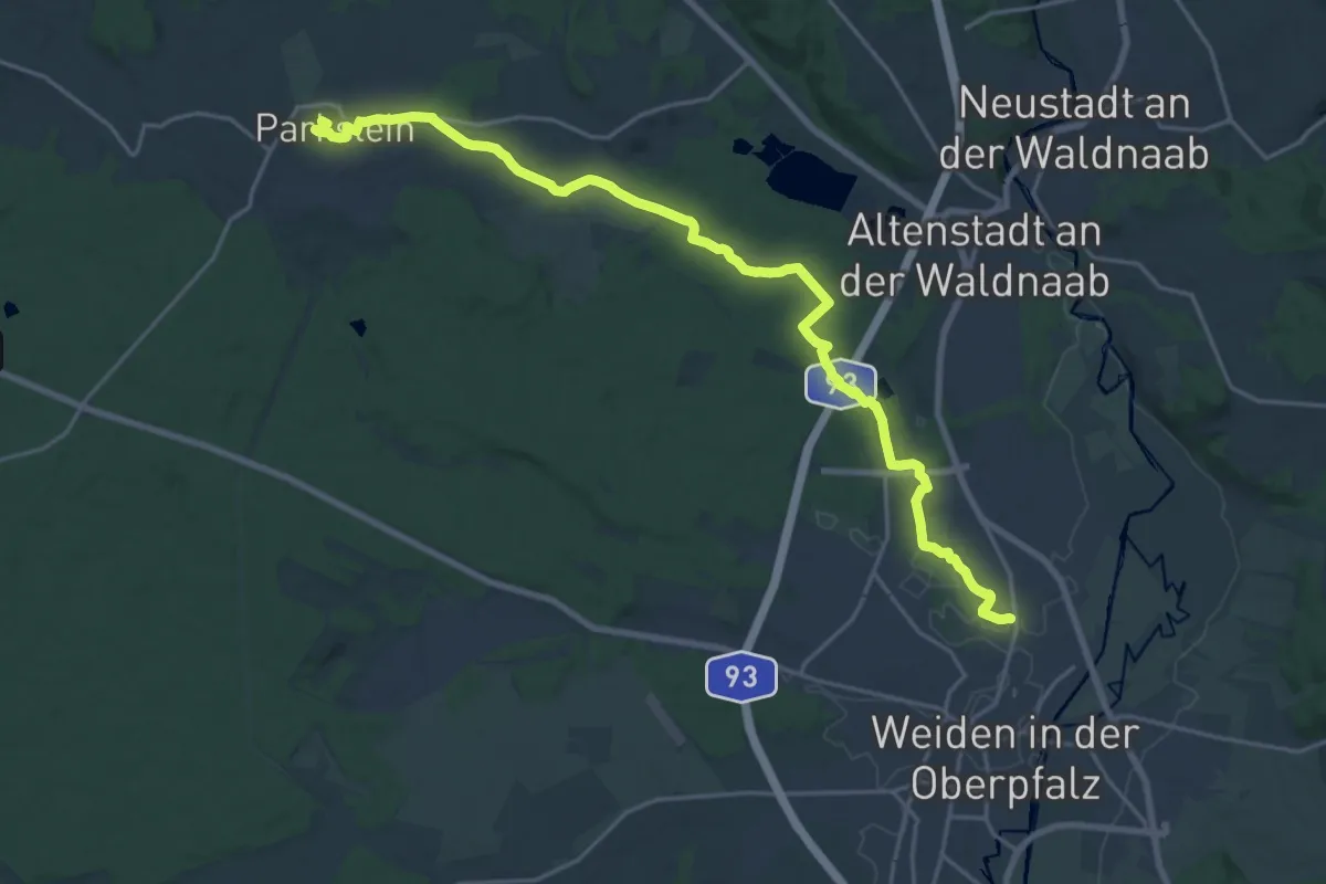
Medium · Trail
Weidenberg Rundwanderweg Nr. 4
8.2 km · ↑ 142 m · 2 h 22 min
Demanding · Summit
Weiden/Eisstadion - Parkstein
21.9 km · ↑ 221 m · 5 h 39 min