Trails in Germany
36,877 hiking trails, each with its route, climb, walking time and grade.
All trails, page 768 of 769
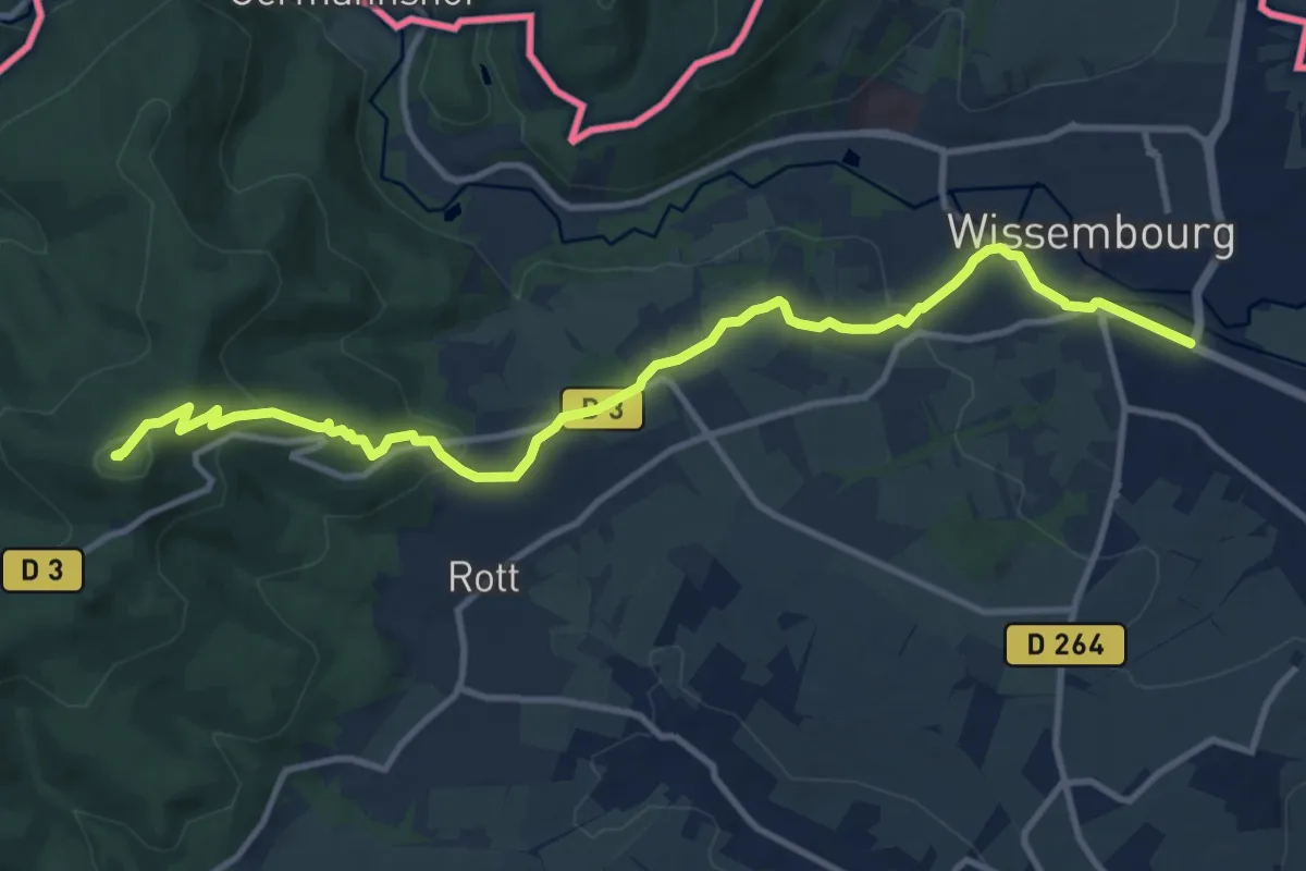
Medium · Summit
Wissembourg – Wingen (Col de Hohenbourg)
12.1 km · ↑ 353 m · 3 h 37 min
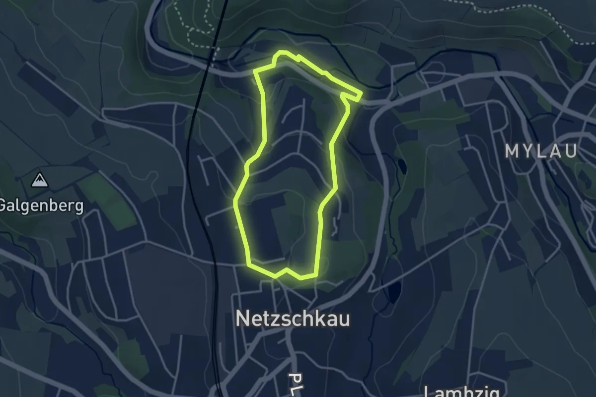
Easy · Trail
Mylau Göltzschtalbrücke – Schloss Netzschkau
2.5 km · ↑ 67 m · 47 min
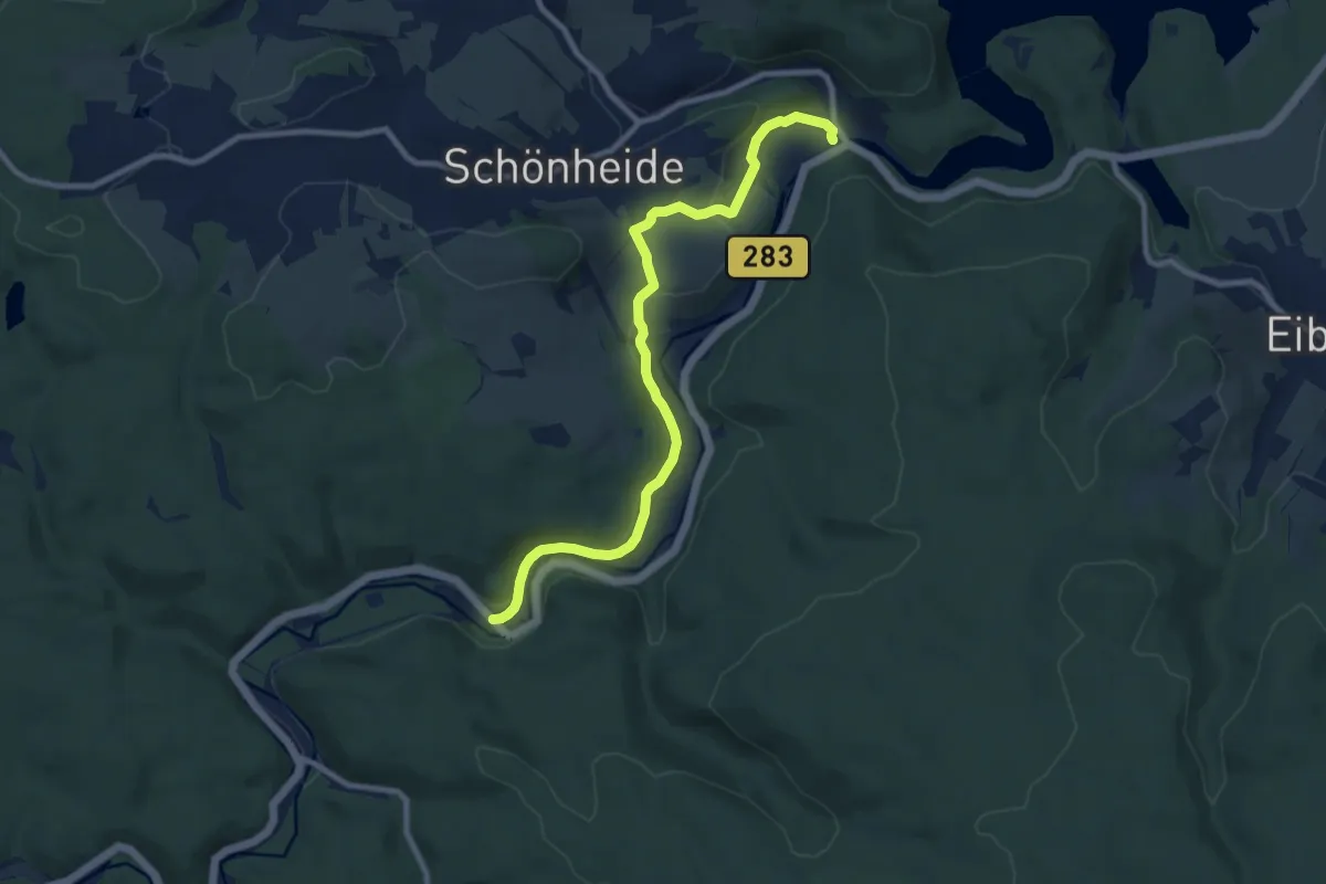
Medium · Trail
Wilzschhaus – Schönheiderhammer
9.0 km · ↑ 238 m · 2 h 39 min
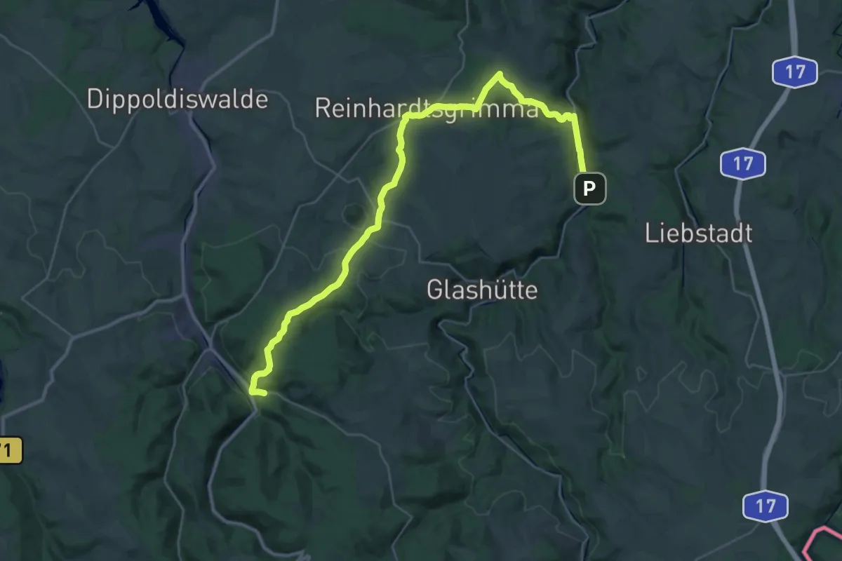
Medium · Trail
Schlottwitz – Schmiedeberg
17.2 km · ↑ 459 m · 5 h 11 min
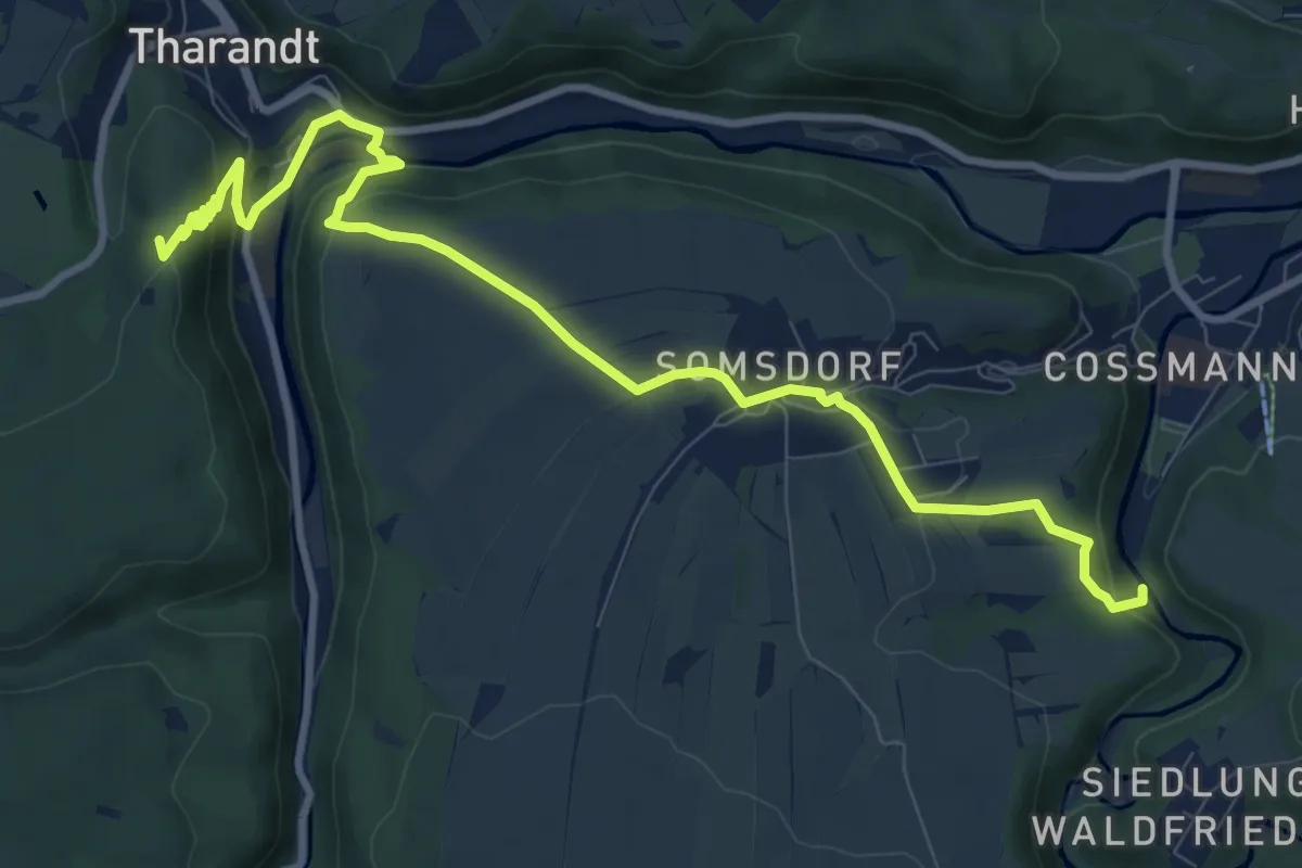
Demanding · Summit
Naundorf – Rabenauer Grund
10.5 km · ↑ 357 m · 3 h 15 min
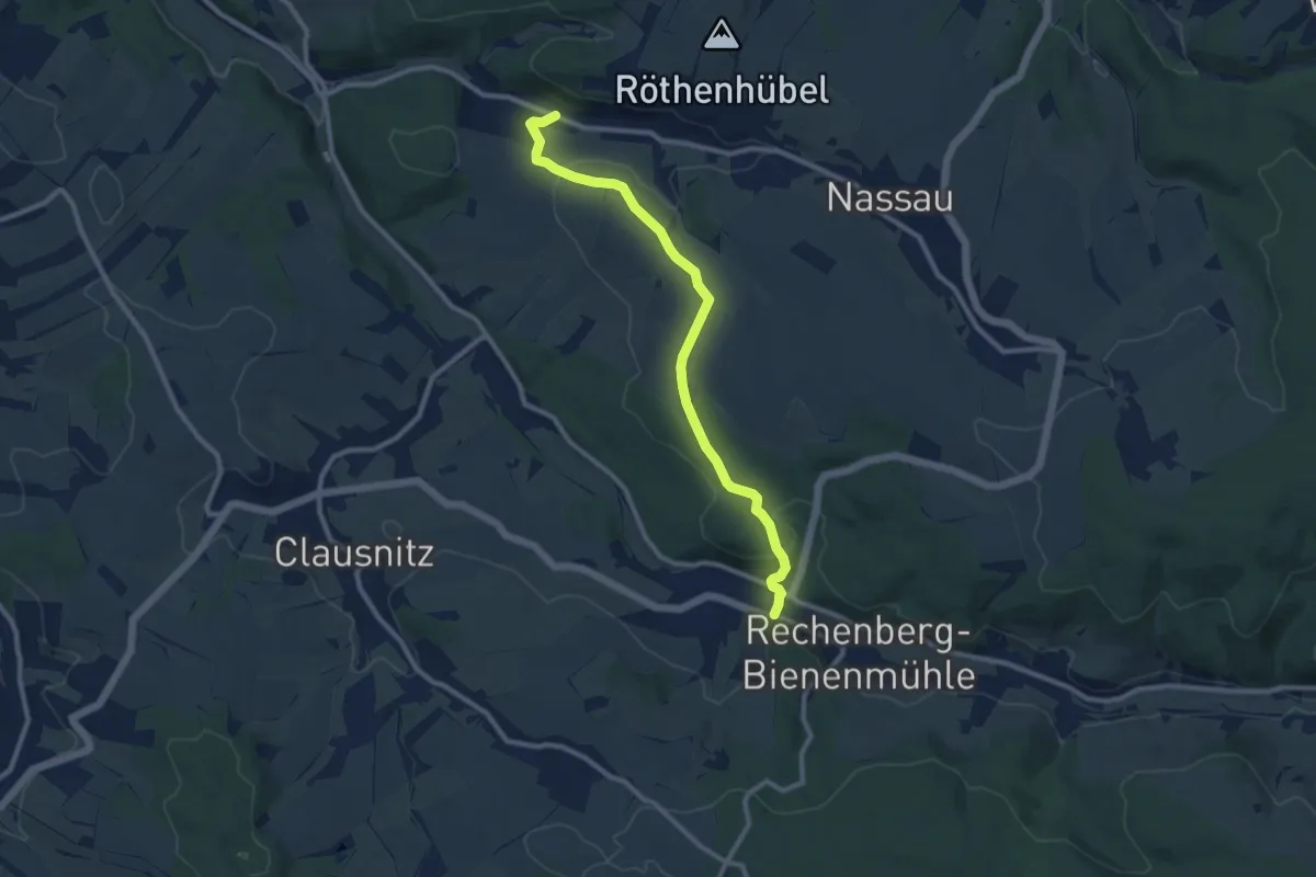
Medium · Trail
Rechenberg-Bienenmühle – Nassau
9.2 km · ↑ 214 m · 2 h 38 min
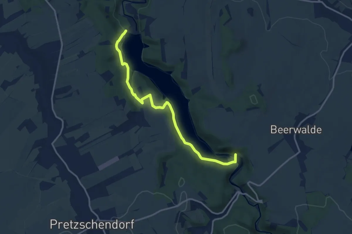
Medium · Trail
Talsperren Klingenberg – Vorsperre Klingenberg
9.6 km · ↑ 224 m · 2 h 45 min
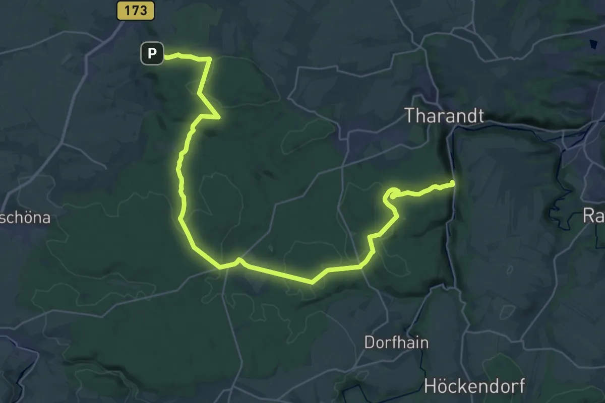
Medium · Trail
Grund – Tharandt
16.3 km · ↑ 291 m · 4 h 43 min
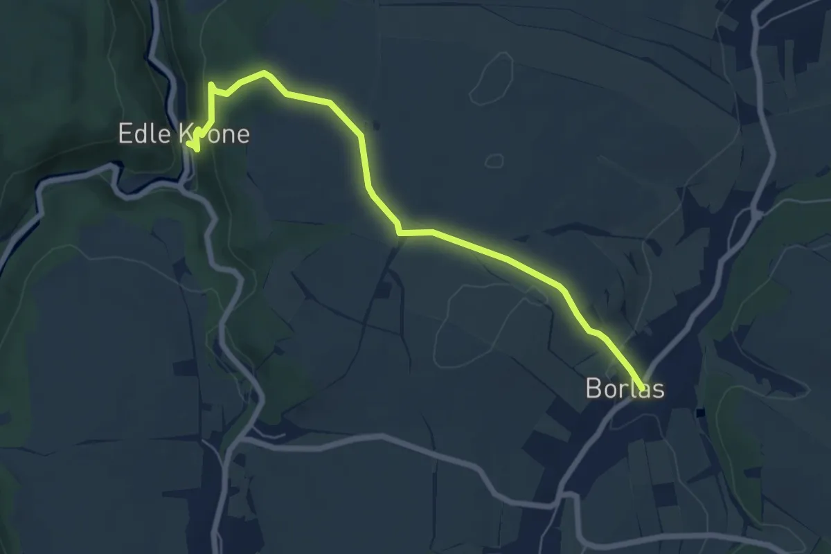
Easy · Trail
Edle Krone – Borlas
5.8 km · ↑ 142 m · 1 h 41 min
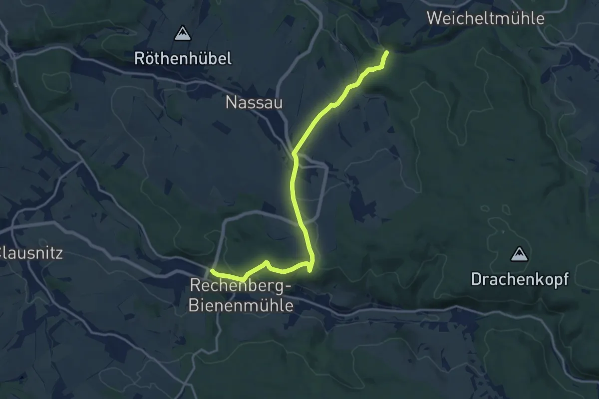
Medium · Trail
Rechenberg-Bienenmühle – Gimmlitztal
12.2 km · ↑ 354 m · 3 h 39 min
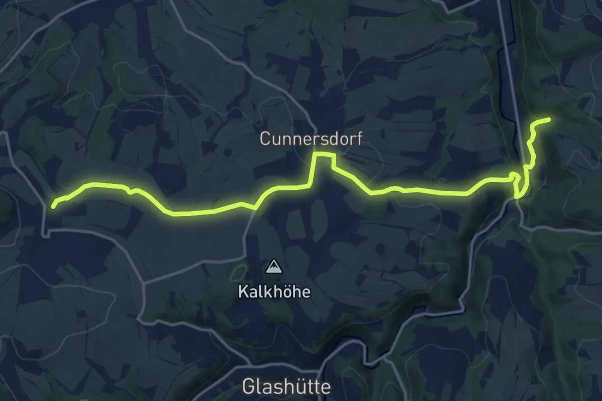
Medium · Trail
Schlottwitz – Luchau
15.4 km · ↑ 362 m · 4 h 26 min
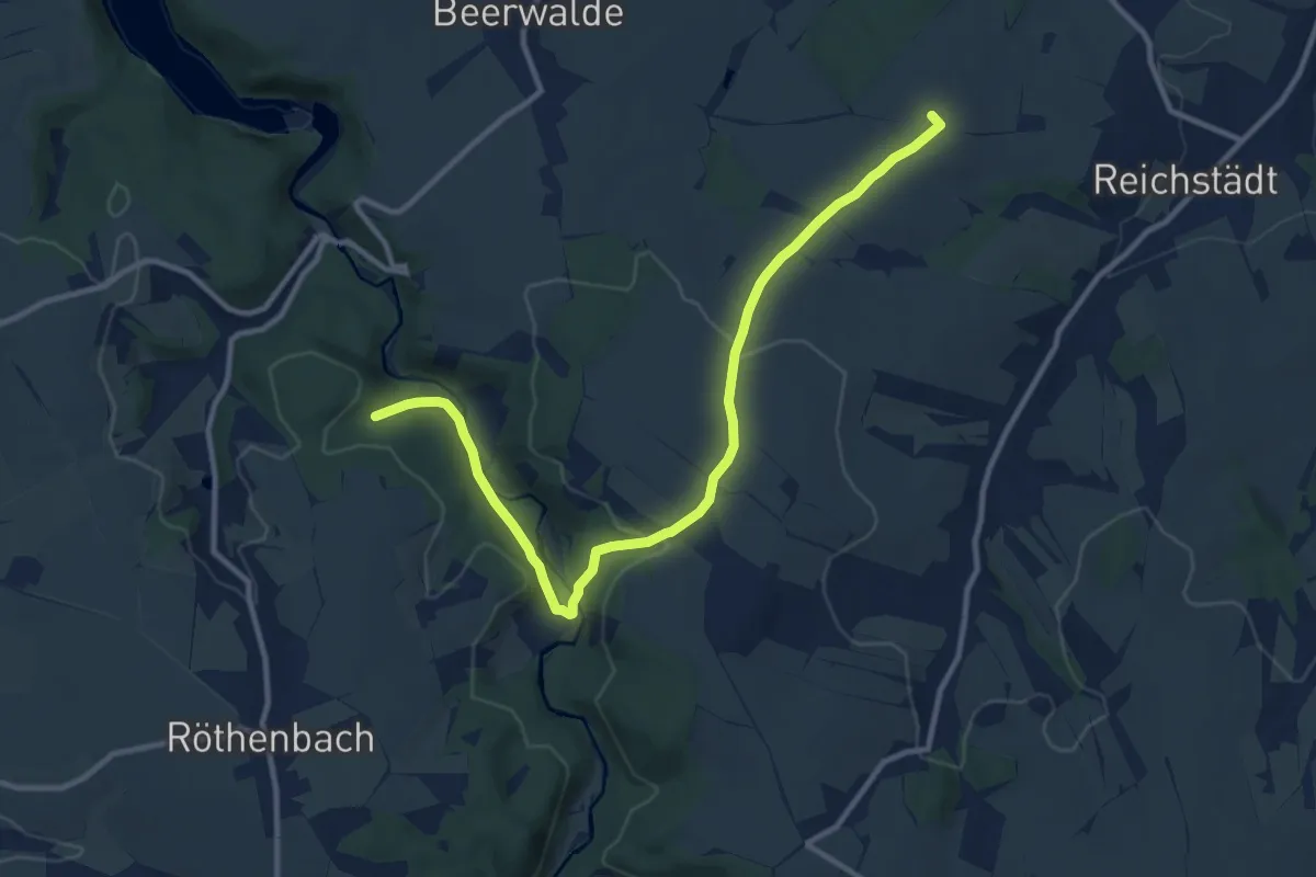
Medium · Summit
Dippoldiswalde – Röthenbach
11.2 km · ↑ 235 m · 3 h 10 min
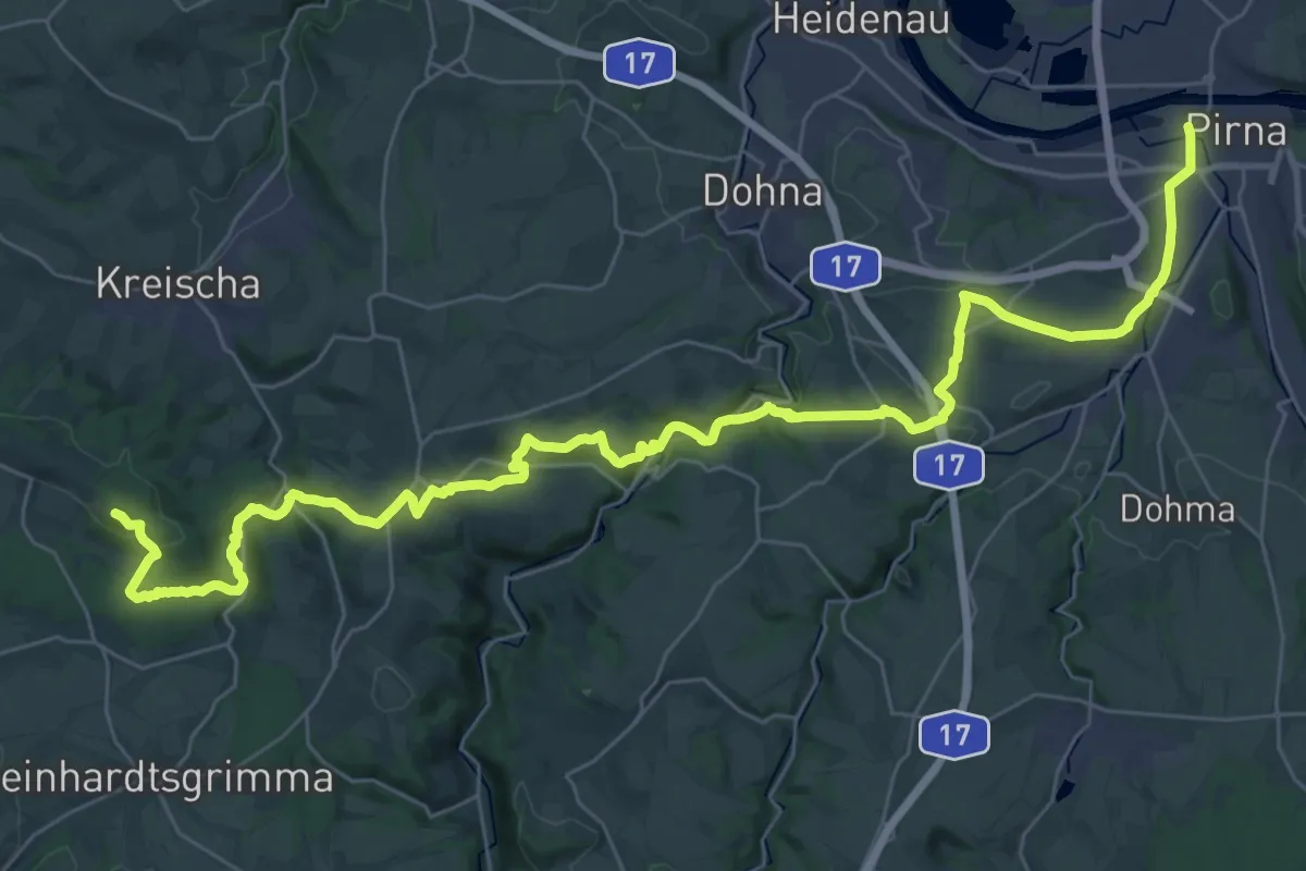
Demanding · Summit
Kreischa – Prina
42.5 km · ↑ 972 m · 12 h 8 min
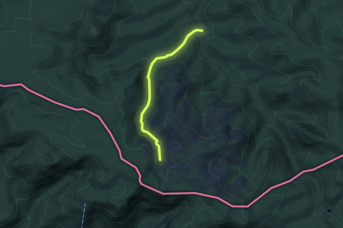
Medium · Trail
Großer Zschand – Webergrotte
3.5 km · ↑ 150 m · 1 h 10 min
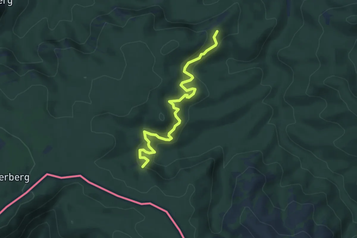
Medium · Trail
Richterschlüchte – Roßsteig
5.1 km · ↑ 343 m · 1 h 57 min
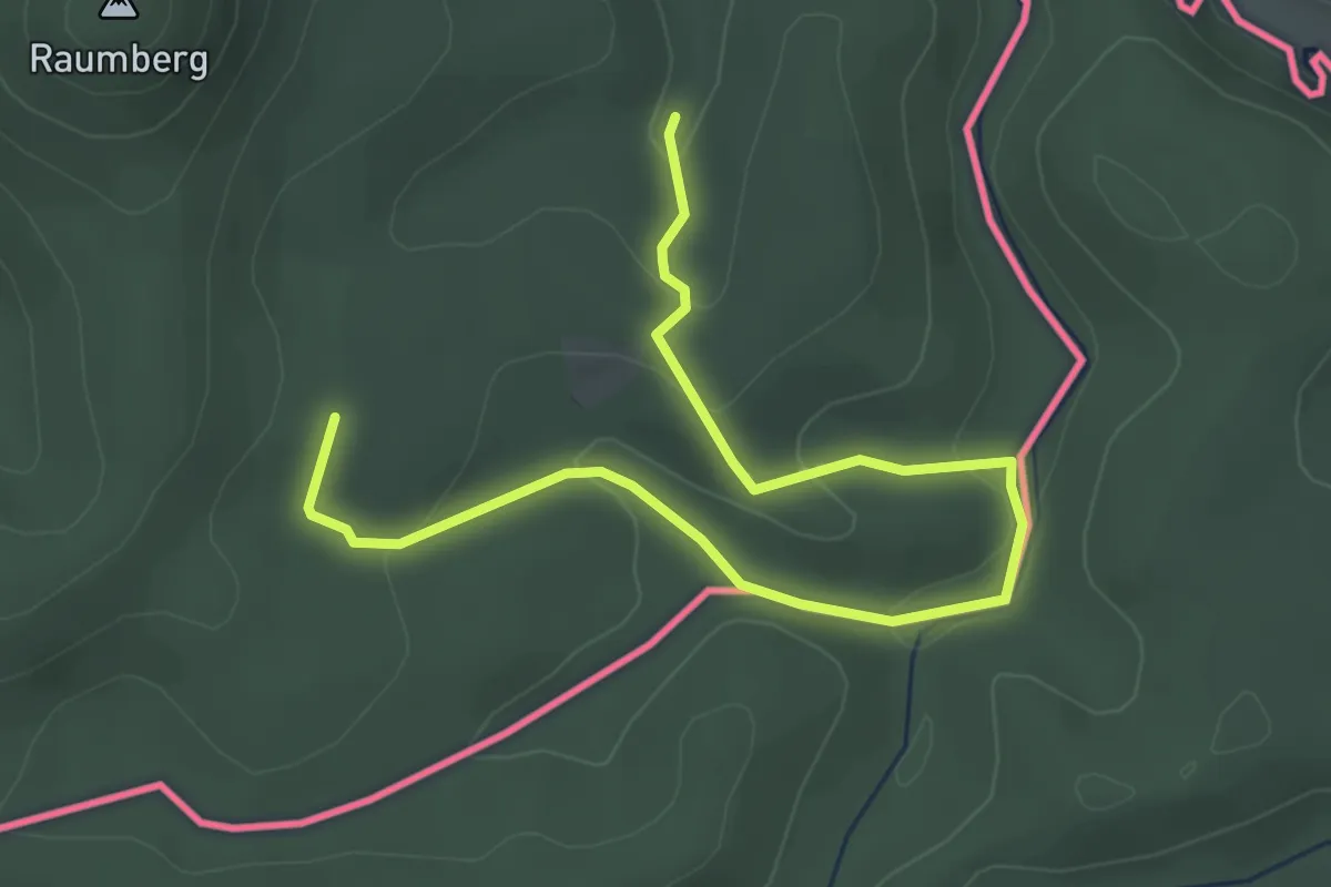
Medium · Trail
Brückengrund – Königsjagdweg
4.1 km · ↑ 95 m · 1 h 11 min
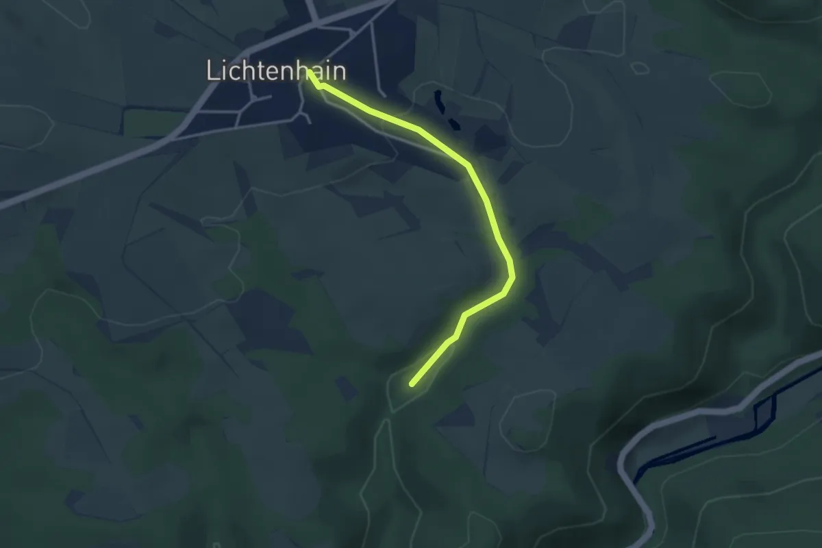
Easy · Trail
Schutzhütte Abzweig Hörnelweg – Lichtenhain
3.0 km · ↑ 70 m · 52 min
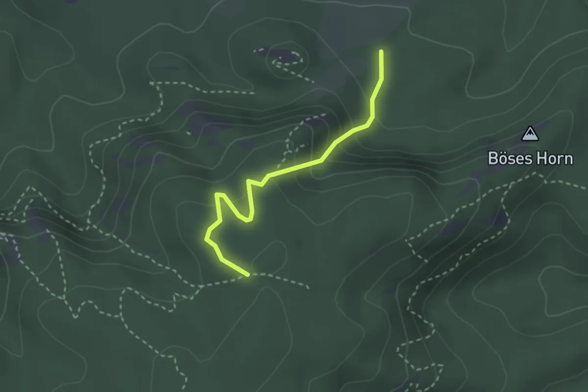
Demanding · Trail
Raubsteinschlüchte – Gehackter Weg
2.4 km · ↑ 183 m · 57 min
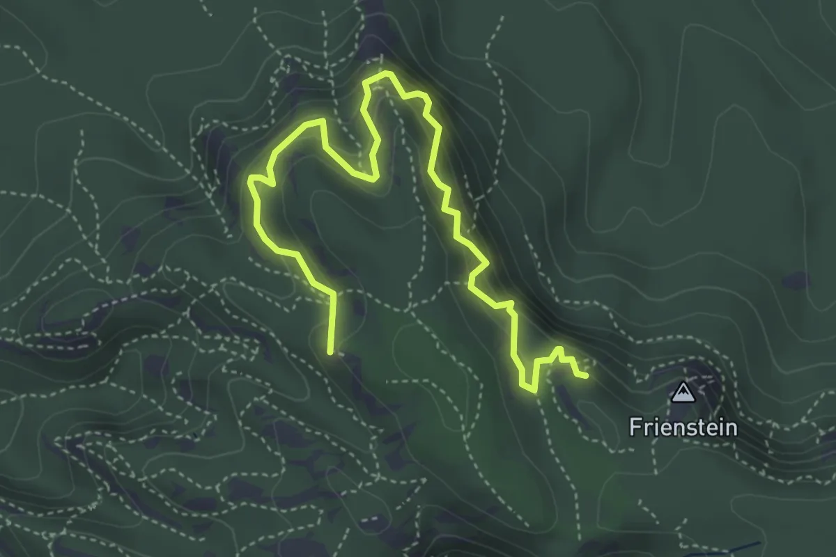
Demanding · Summit
Frienstein – Wilde Hölle
4.8 km · ↑ 518 m · 2 h 15 min
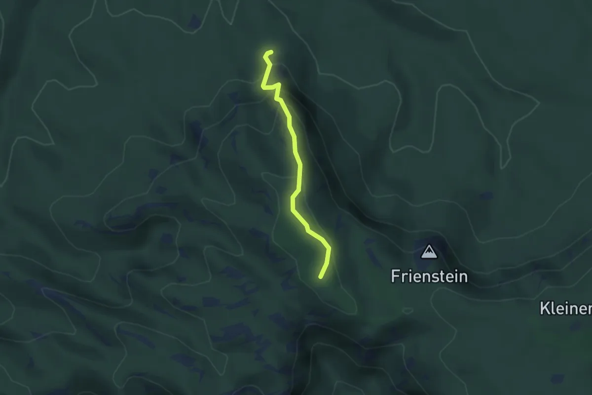
Expert · Trail
Königsweg – Reitsteig
2.4 km · ↑ 187 m · 59 min
Medium · Trail
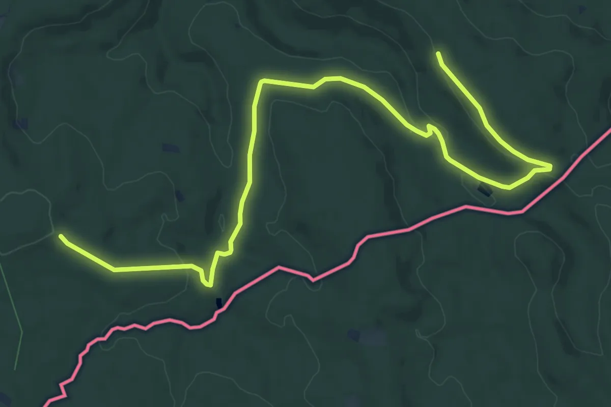
Königstein – Pfaffenstein
13.6 km · ↑ 274 m · 3 h 48 min
Demanding · Summit
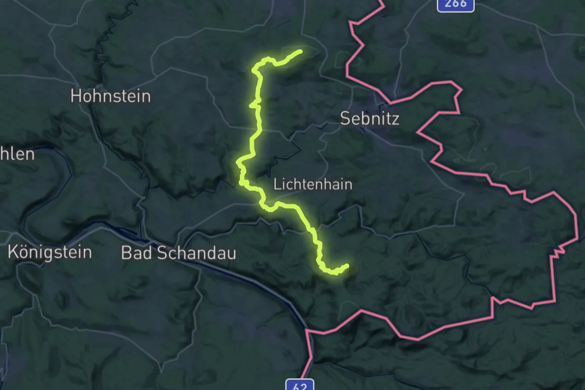
Ungerberg – Kleiner Winterberg
35.8 km · ↑ 1388 m · 11 h 28 min
Medium · Summit
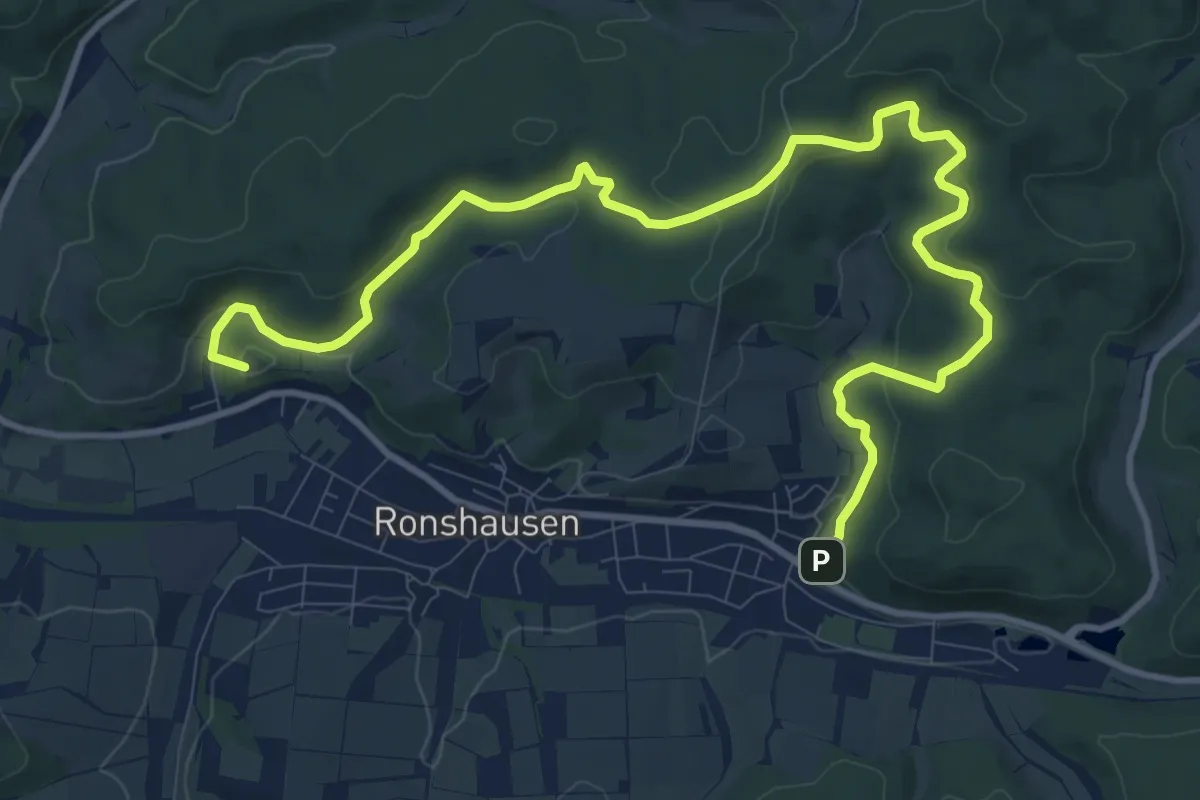
Ronshausen Wanderparkplatz Marbachtal – Ronshausen Stettiner Straße
13.2 km · ↑ 351 m · 3 h 53 min
Medium · Trail
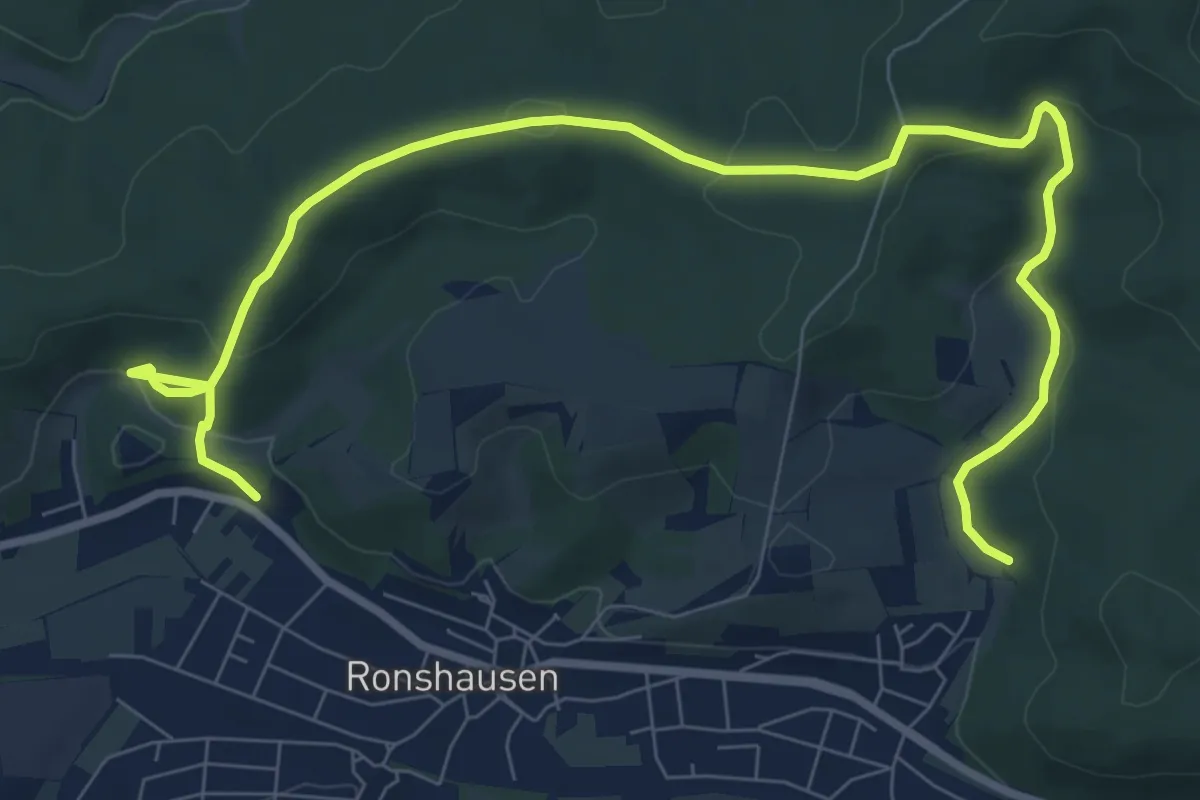
Ronshausen Marbachtal – Ronshausen Kasseler Straße
10.1 km · ↑ 330 m · 3 h 6 min
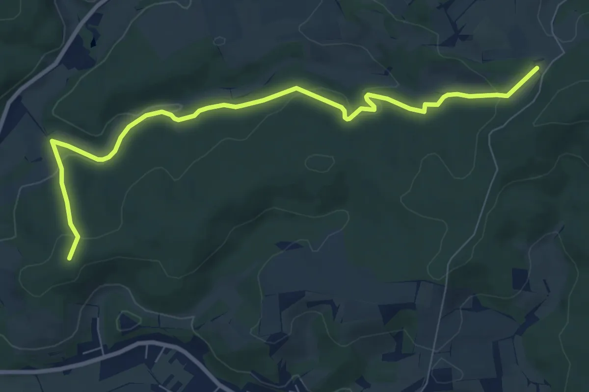
Easy · Summit
Ronshausen Lingelkopfweg – NSG Dachsberg bei Iba
7.9 km · ↑ 235 m · 2 h 22 min
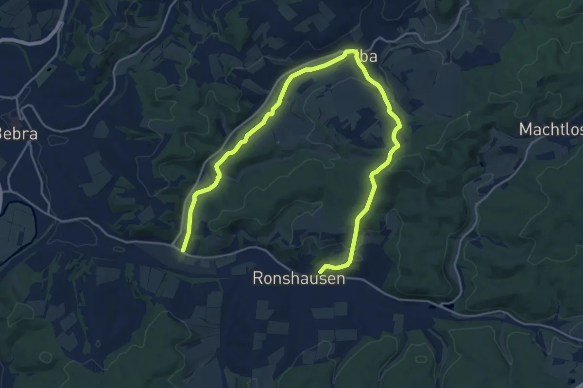
Demanding · Trail
Ronshausen Friedhof – Bebra-Weiterode Hotel Sonnenblick
18.3 km · ↑ 330 m · 5 h 2 min
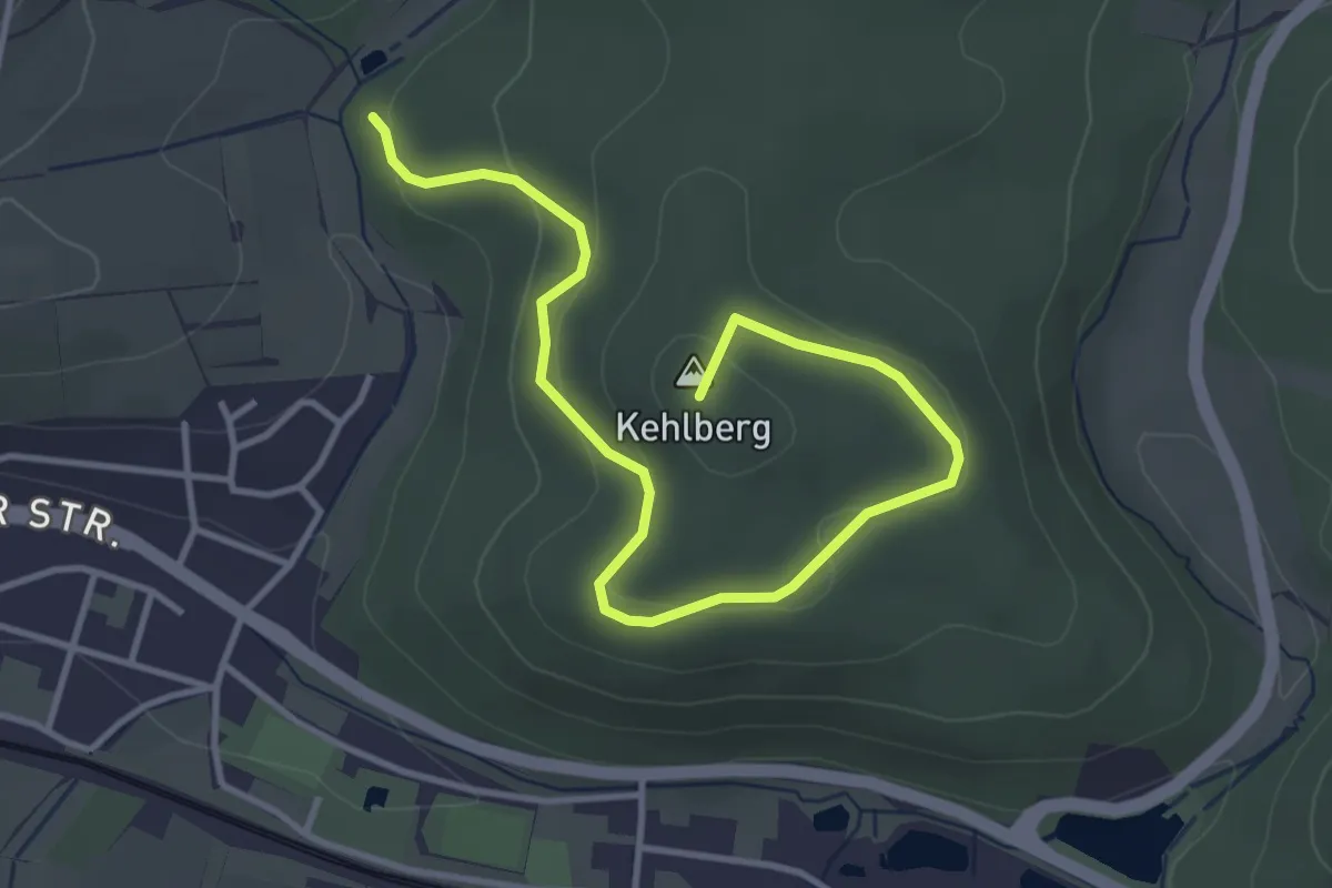
Easy · Summit
Wilhelmseiche – Marbachtal R1
4.1 km · ↑ 141 m · 1 h 16 min
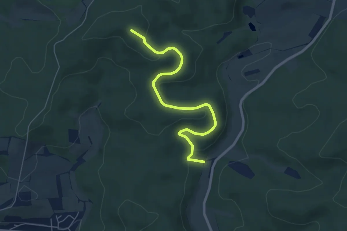
Easy · Summit
Rastplatz Rinaldoeiche – R5 NSG Dachsberg
5.2 km · ↑ 165 m · 1 h 35 min
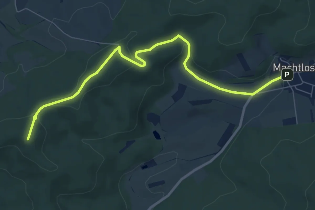
Easy · Summit
Ronshausen Friedrichseiche – Machtlos Kirche
6.5 km · ↑ 125 m · 1 h 49 min
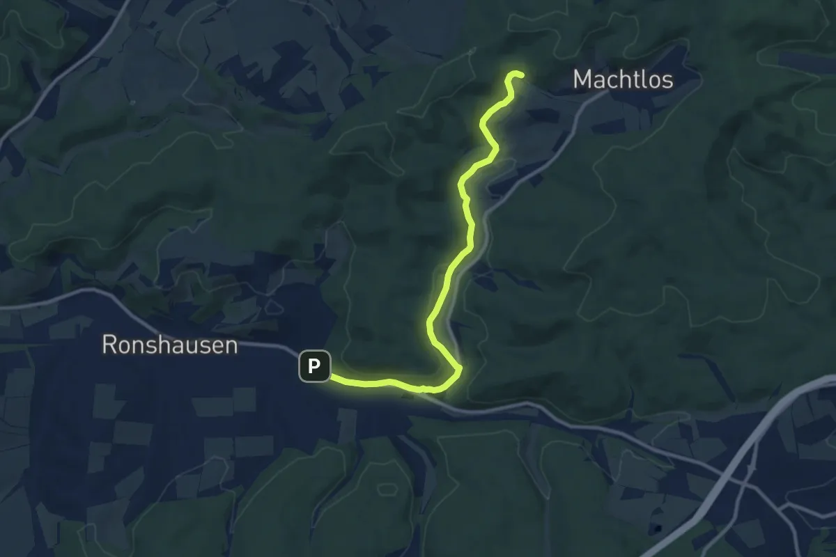
Medium · Trail
Wanderparkplatz Marbach (altes Forsthaus) – Machtlos Auetal
9.4 km · ↑ 153 m · 2 h 33 min
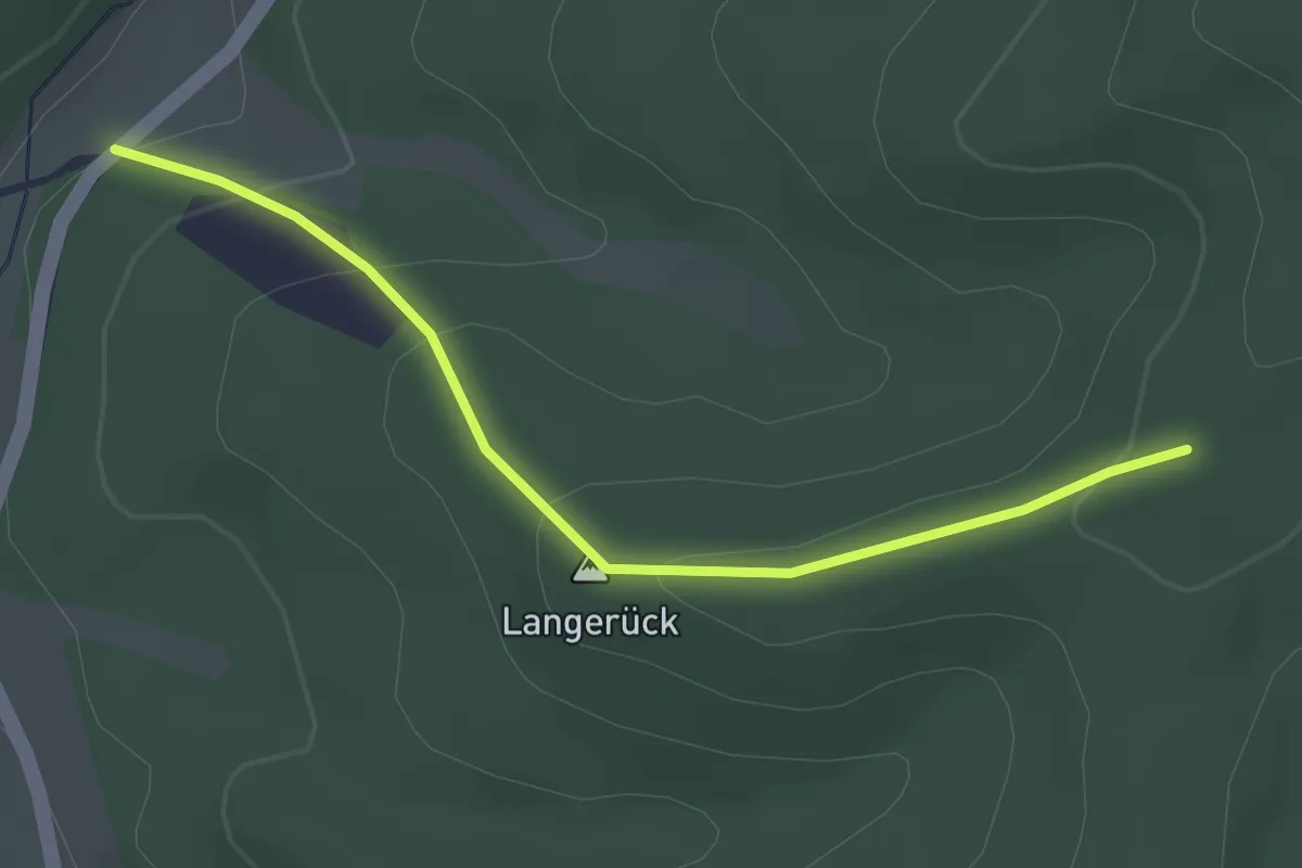
Easy · Trail
Ronshausen Rinaldoeiche – Ronshausen R20 (am Rotestock)
2.6 km · ↑ 123 m · 53 min
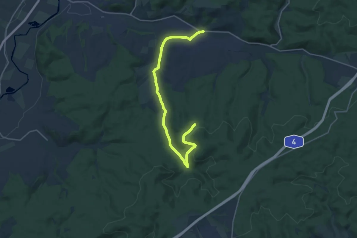
Medium · Trail
Ronshausen Rathaus – Anschluss Route R12 (Keils Hütte)
14.8 km · ↑ 196 m · 3 h 55 min
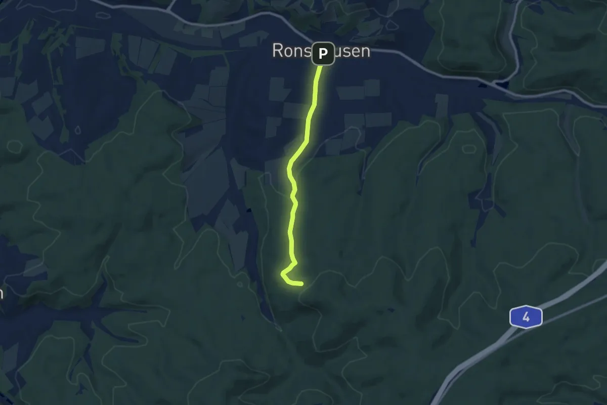
Easy · Trail
Ronshausen Bahnhofstraße – Anschluss Route R10
6.9 km · ↑ 151 m · 1 h 57 min
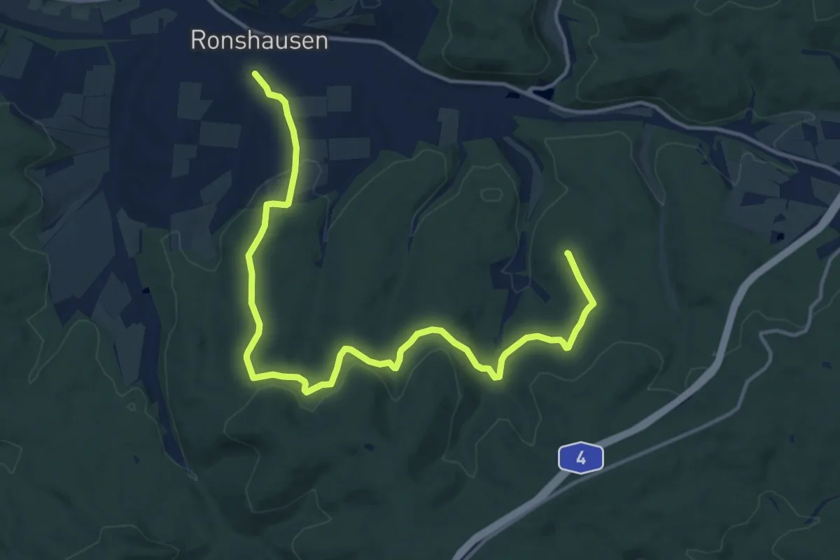
Medium · Summit
Ronshausen Reitplatz Hornsbachweg – Ronshausen Am Sportplatz
14.9 km · ↑ 292 m · 4 h 9 min
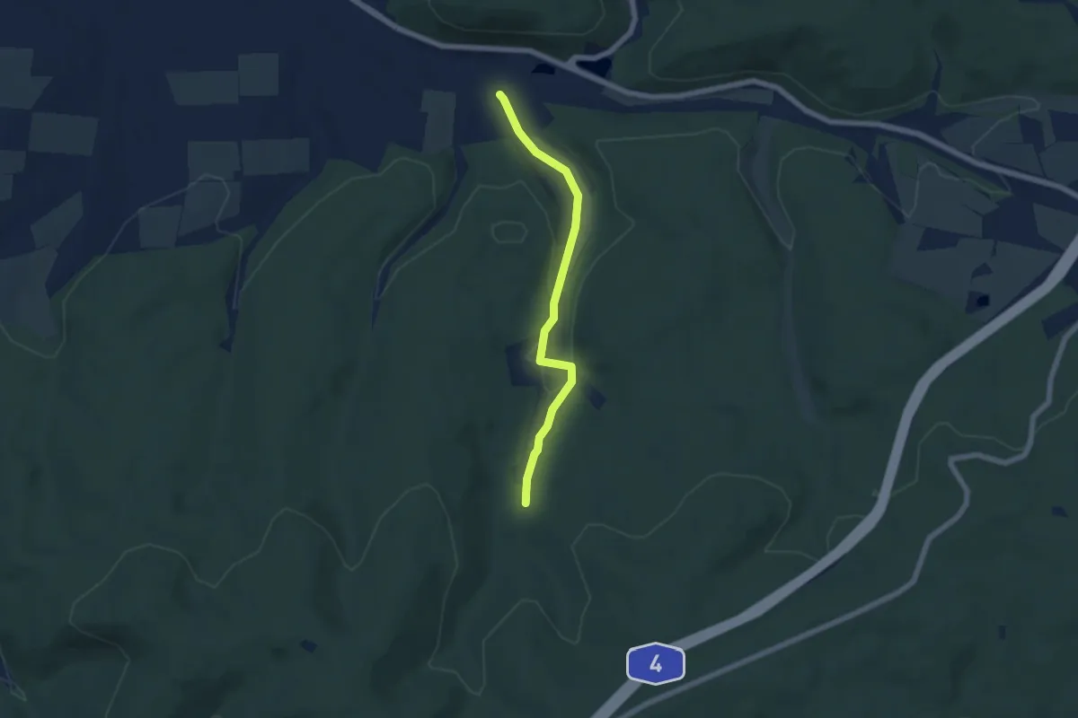
Easy · Trail
Ronshausen Ziebachtal – Ziebachtal Anschluss R12
4.9 km · ↑ 80 m · 1 h 20 min
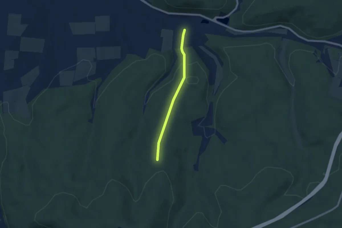
Easy · Trail
Ronshausen Bahnlinie – Ziebachsrück Anschluss R12
3.8 km · ↑ 131 m · 1 h 11 min
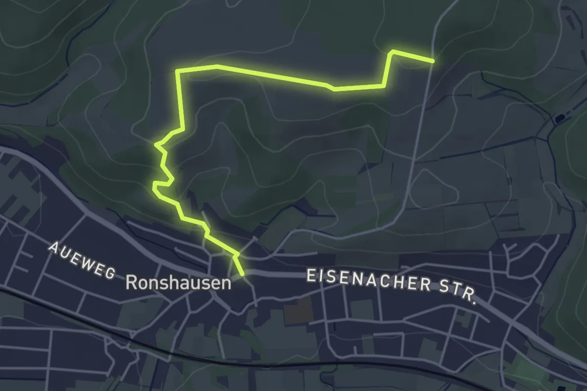
Easy · Trail
Ronshausen Bürgermeisterarm – Bebra-Ronshausen Ibaer Weg (Anschluss R5)
4.2 km · ↑ 113 m · 1 h 14 min
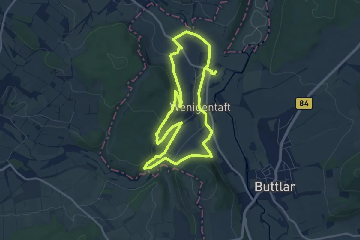
Easy · Trail
Wenigentaft Wanderparkplatz – Wenigentaft Wanderparkplatz
6.7 km · ↑ 131 m · 1 h 57 min
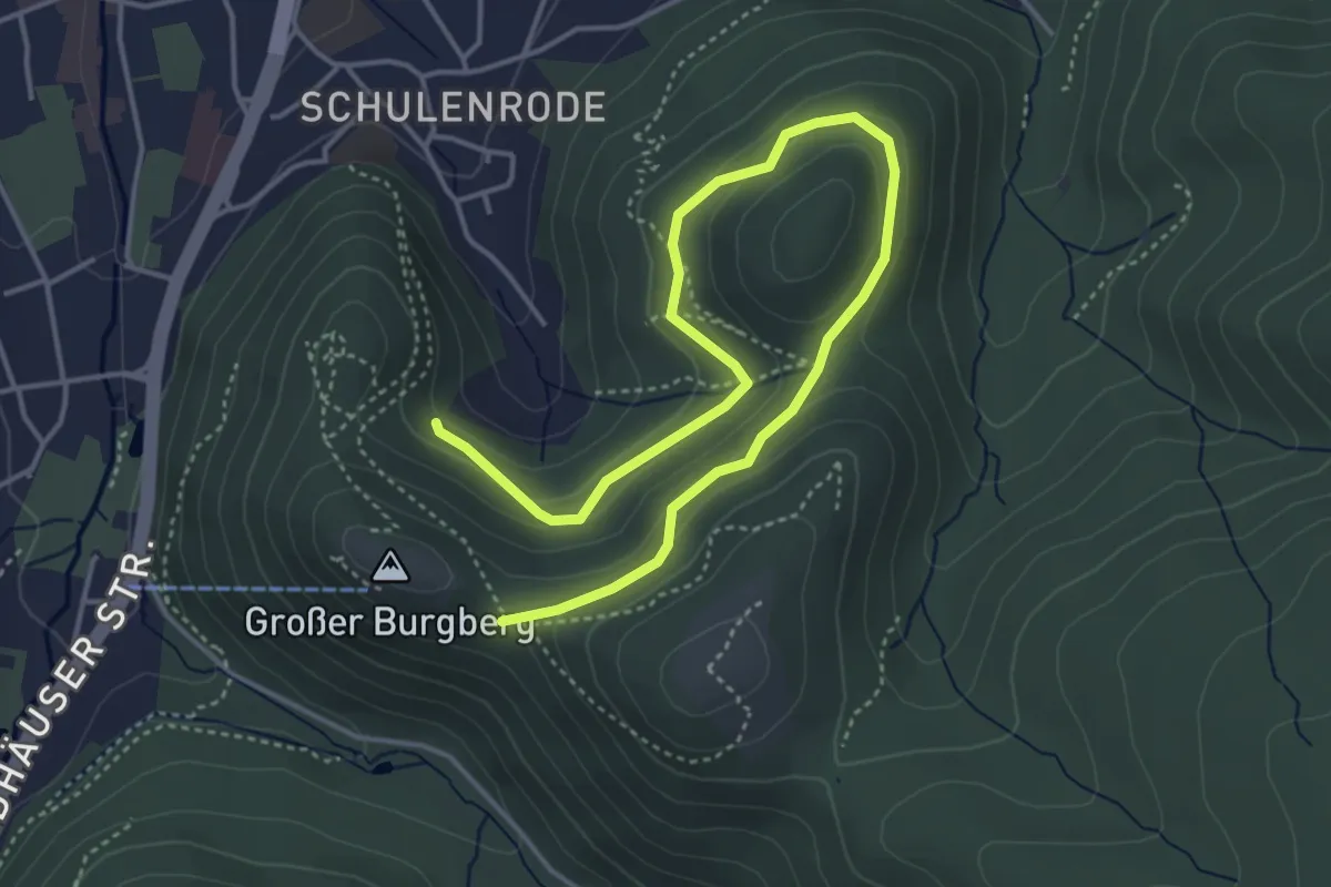
Easy · Trail
Bad Harzburg – Burgberg
5.1 km · ↑ 181 m · 1 h 36 min
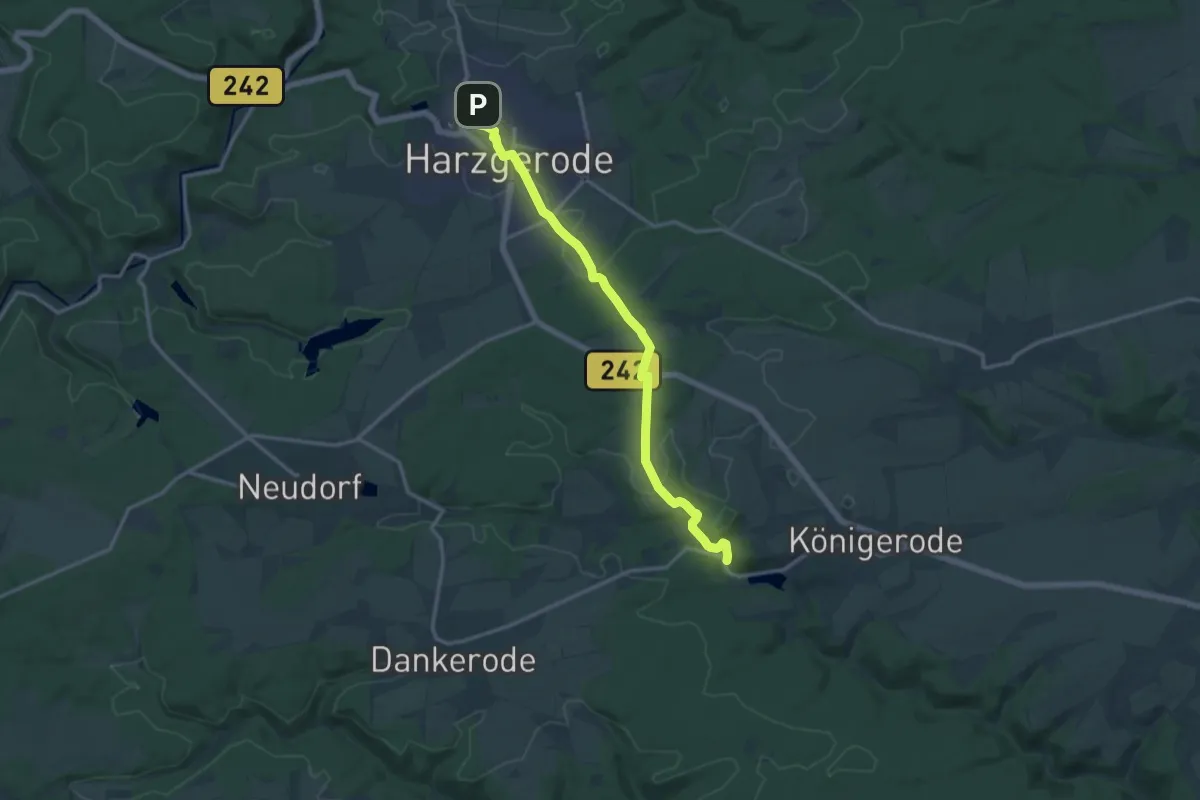
Medium · Trail
Harzgerode – Königerode
12.7 km · ↑ 166 m · 3 h 22 min
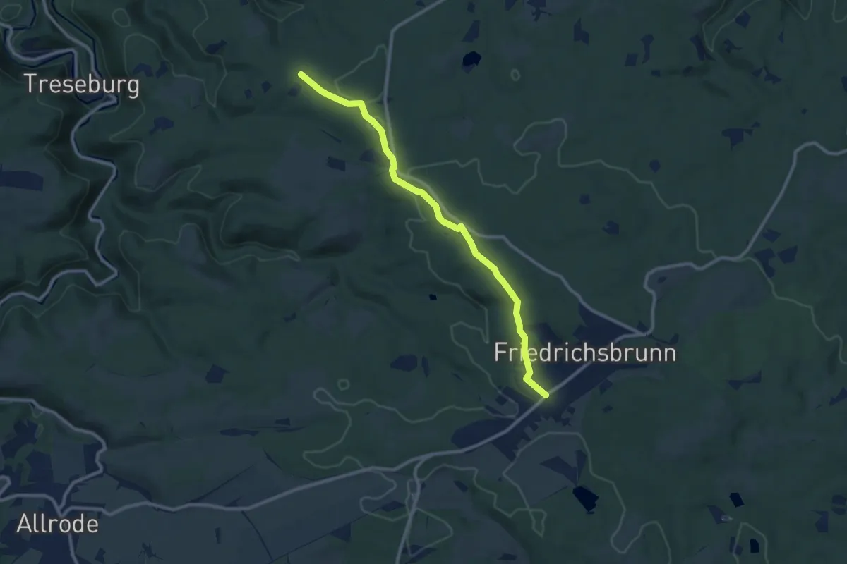
Medium · Trail
Pfeil-Denkmal – Friedrichsbrunn
8.7 km · ↑ 128 m · 2 h 20 min
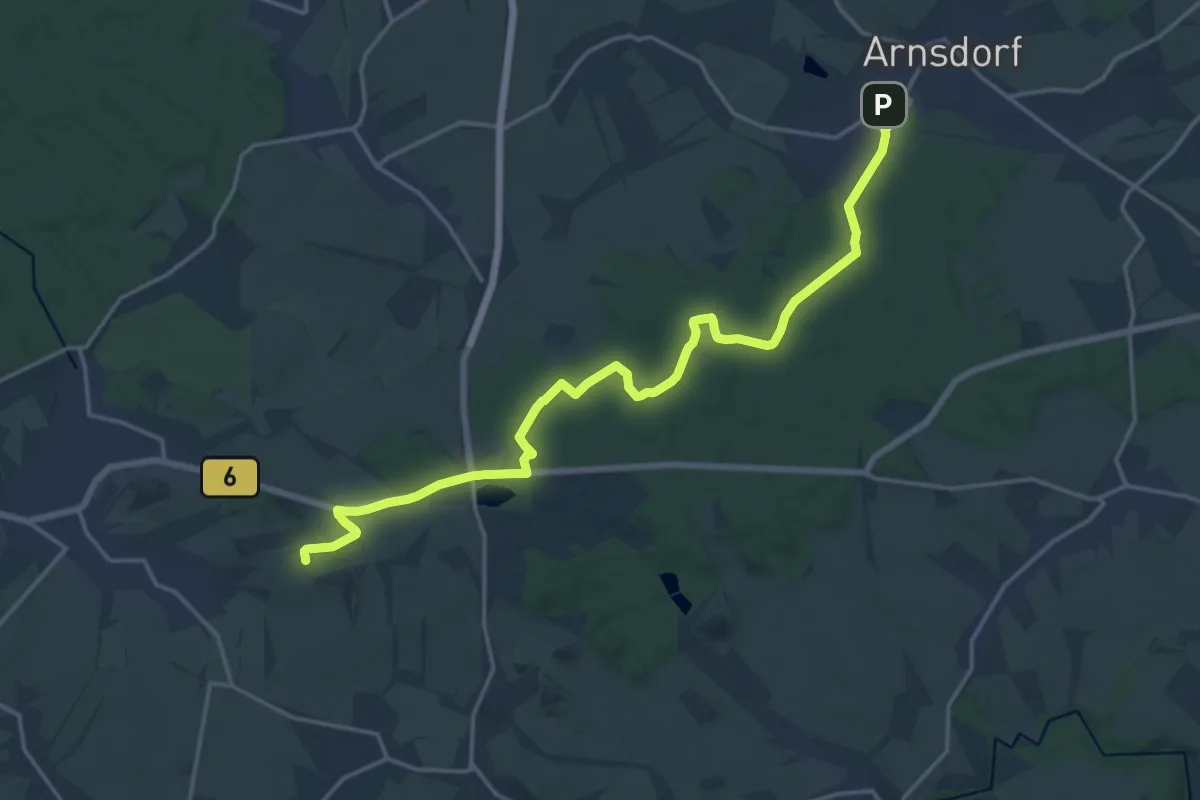
Medium · Summit
Arnsdorf – Weißig
17.8 km · ↑ 176 m · 4 h 35 min
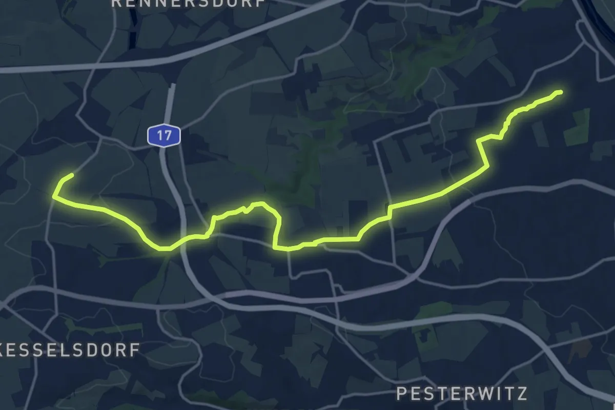
Medium · Summit
Leutewitz – Niederwartha
16.4 km · ↑ 205 m · 4 h 19 min
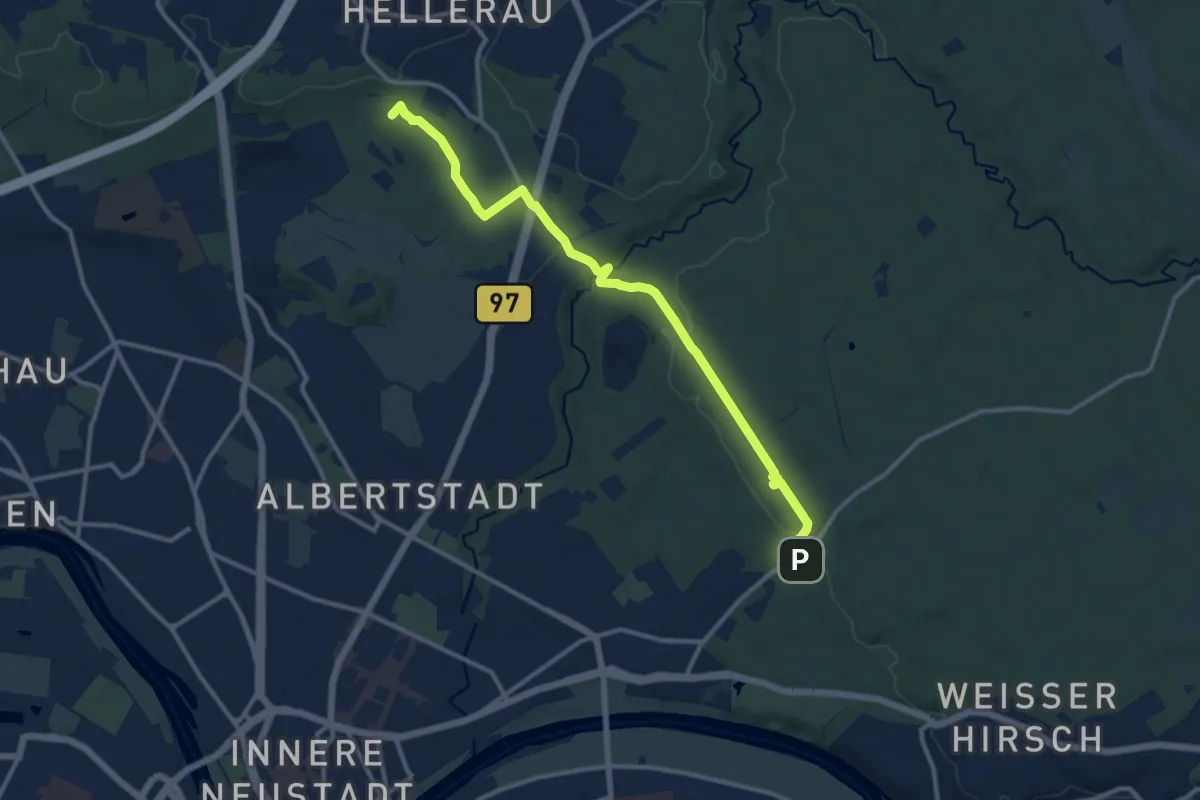
Medium · Summit
Fischhaus – Moritzburg
11.6 km · ↑ 158 m · 3 h 4 min
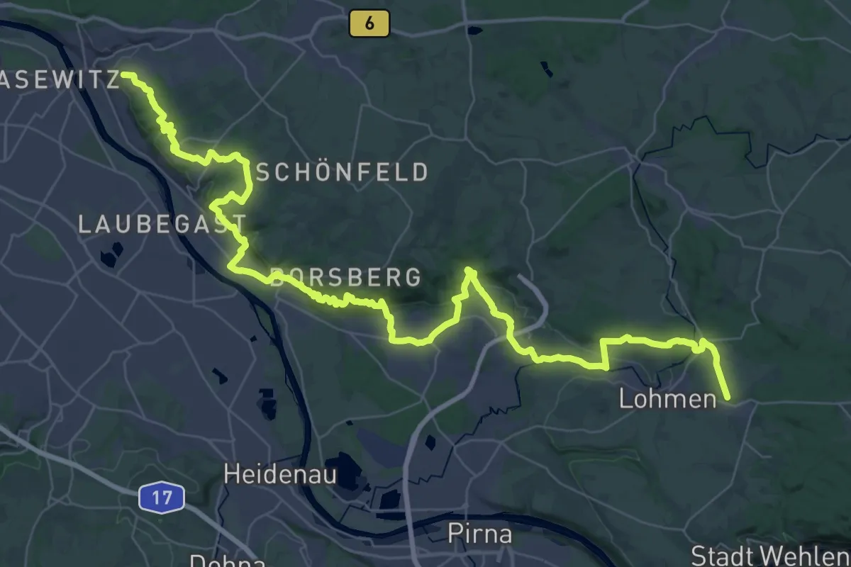
Demanding · Trail
Loschwitz – Lohmen
26.6 km · ↑ 718 m · 8 h 11 min
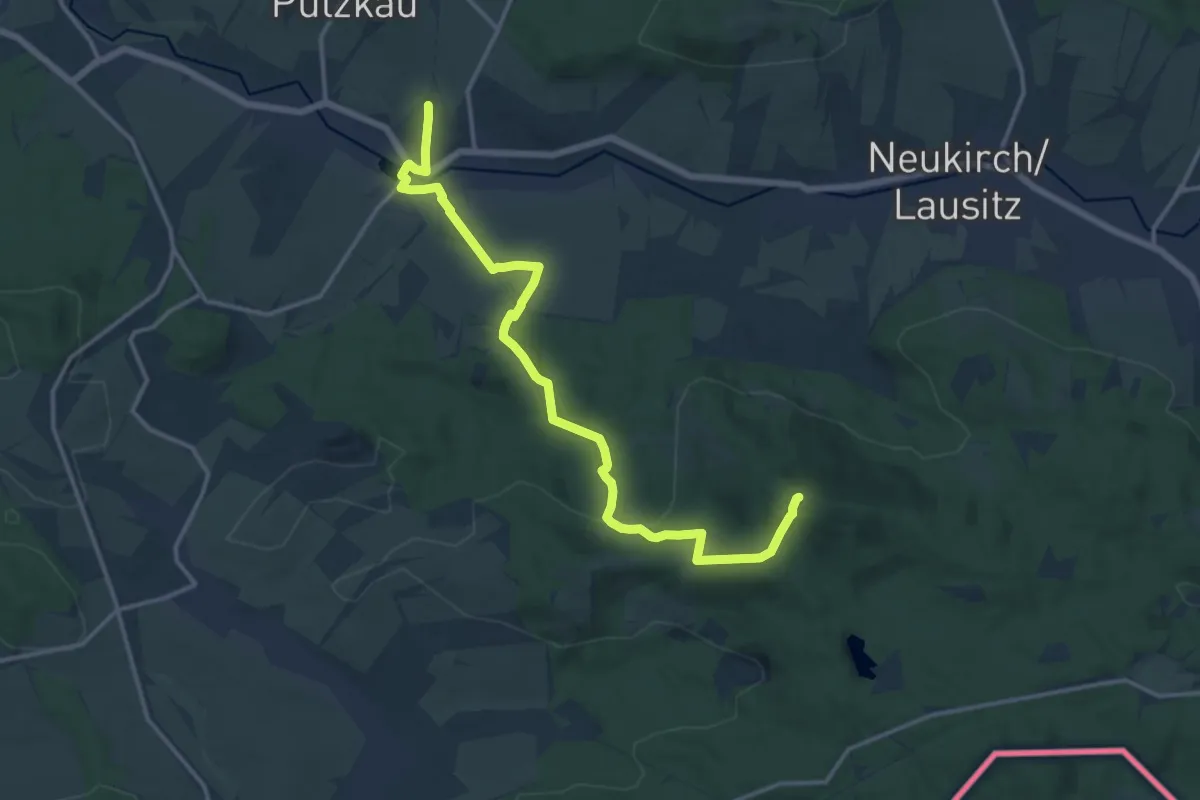
Medium · Summit
Putzkau – Valtenberg
14.7 km · ↑ 345 m · 4 h 13 min
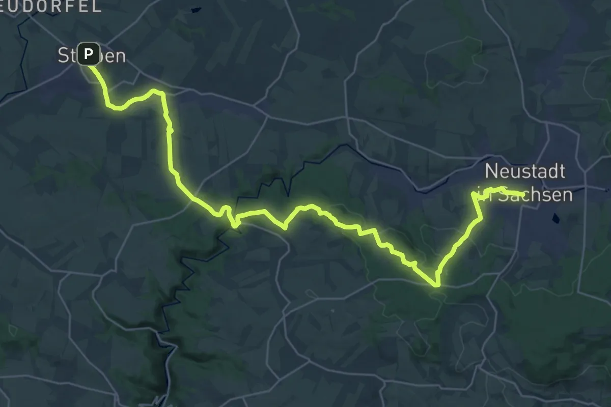
Medium · Trail
Stolpen – Neustadt(Sachs)
16.0 km · ↑ 312 m · 4 h 39 min
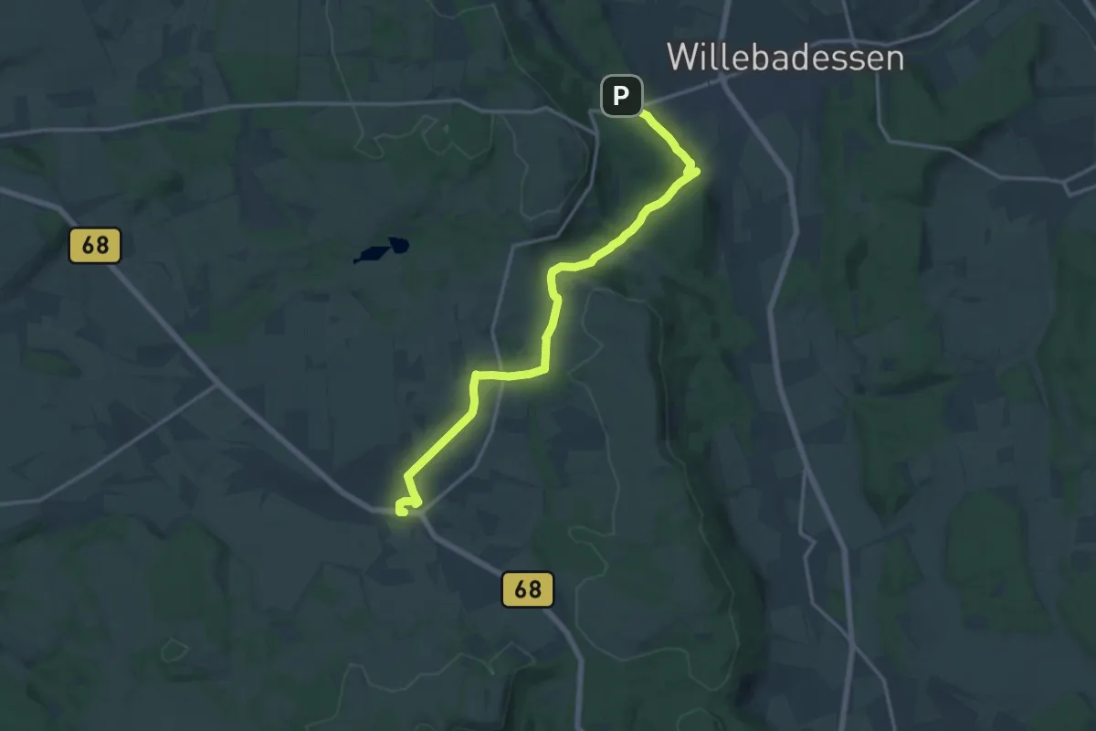
Medium · Trail
Willebadessen – Kleinenberg
13.7 km · ↑ 223 m · 3 h 44 min