Trails in Greece
1,130 hiking trails, each with its route, climb, walking time and grade.
All trails, page 24 of 24
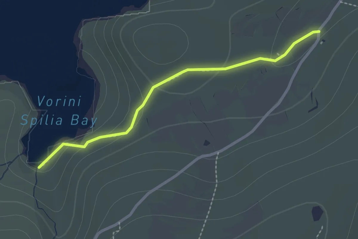
Easy · Trail
8
2.6 km · ↑ 88 m · 48 min
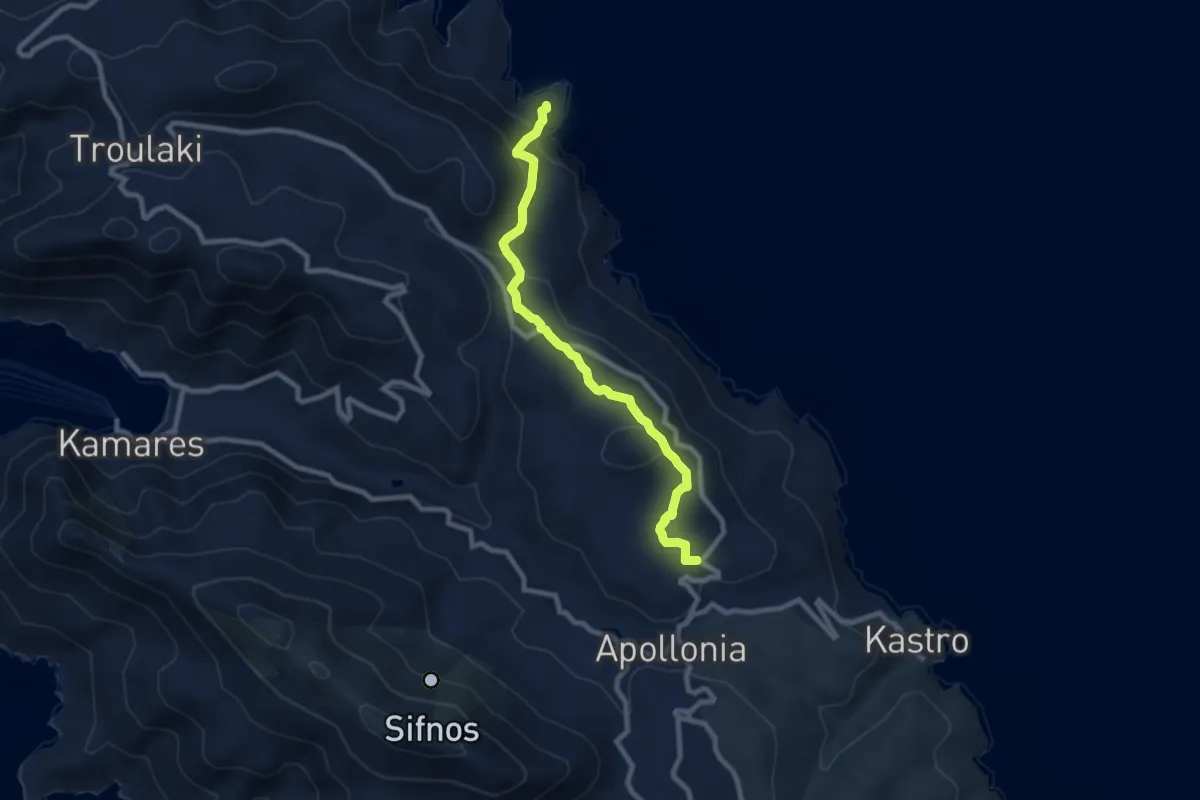
Medium · Trail
8 - Αρτεμώνας - Άγιος Σώστης
10.0 km · ↑ 394 m · 3 h 13 min
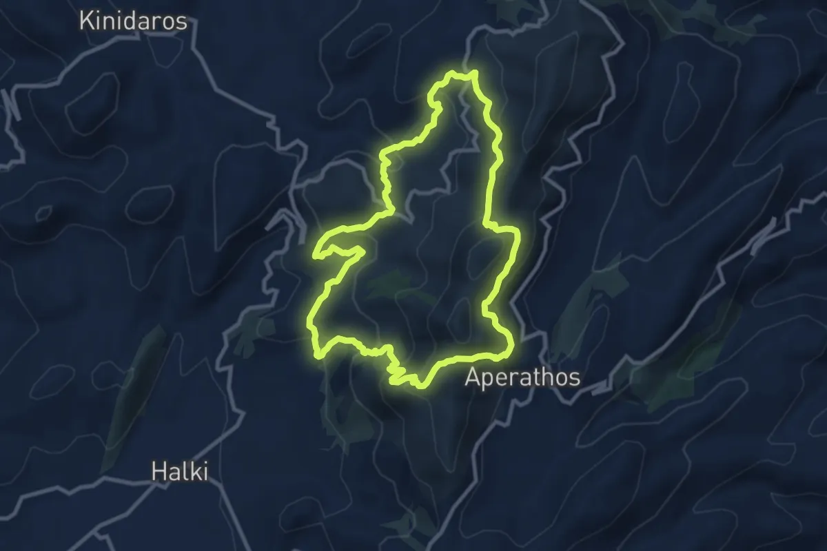
Medium · Trail
8 - Μονή – Σίφωνες – Σκάλα Μετριού – Βόρειο Φανάρι – Απεράθου – Νότιο Φανάρι – Αστιβόδι – Άγ. Σπυρίδωνας – Μονή (κυκλική)
11.0 km · ↑ 599 m · 4 h 3 min
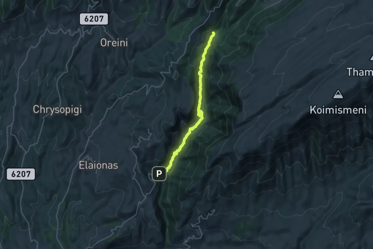
Demanding · Trail
8 Πέτρινα Γεφύρια
18.9 km · ↑ 721 m · 6 h 1 min
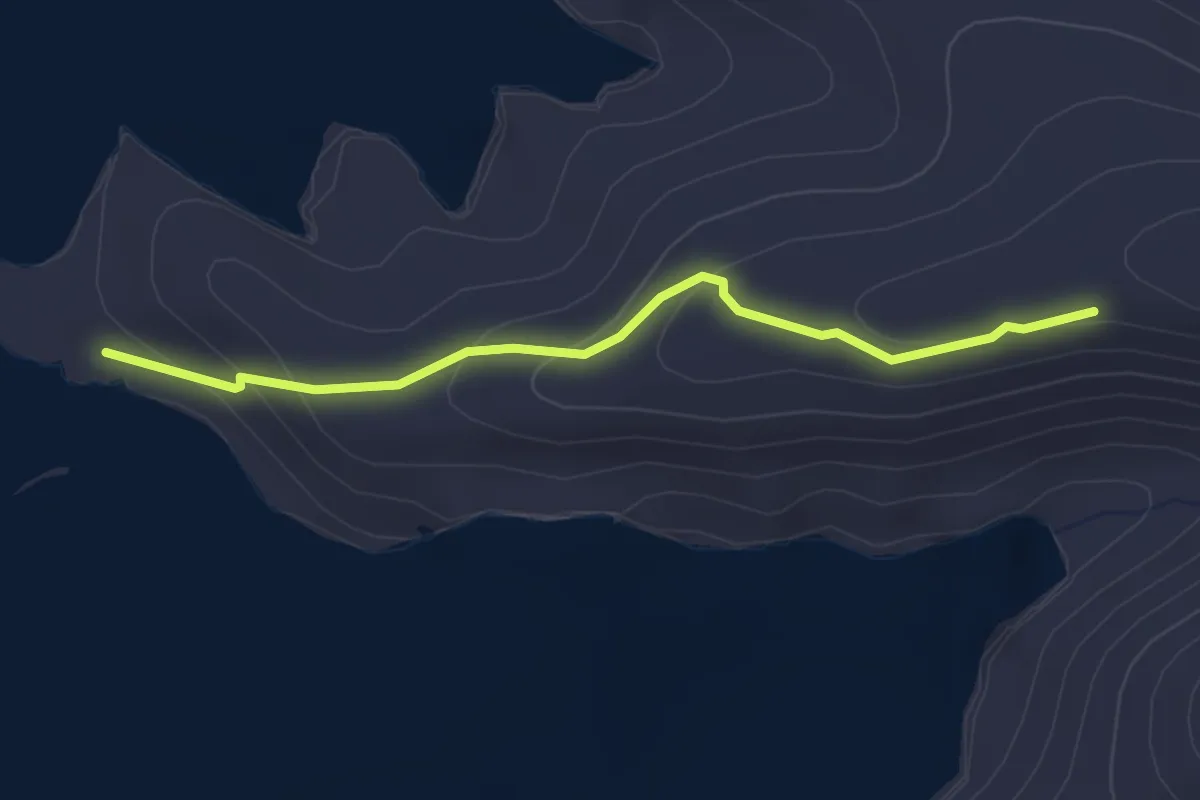
Easy · Trail
9A - Αμπουρδέκτης - Άγιος Φίλιππος / Άι Νικόλας
3.4 km · ↑ 138 m · 1 h 6 min
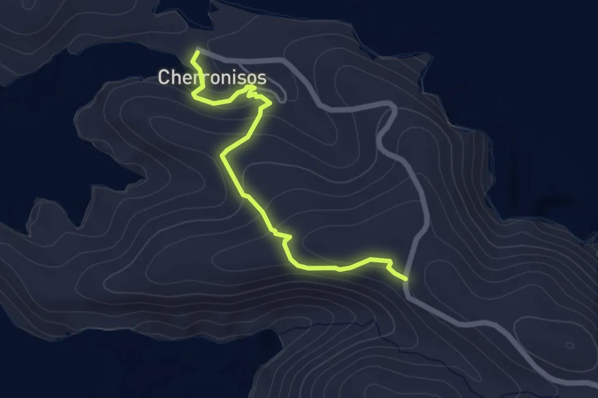
Easy · Trail
9 - Καμπαναριό - Χερρόνησος
4.7 km · ↑ 178 m · 1 h 30 min
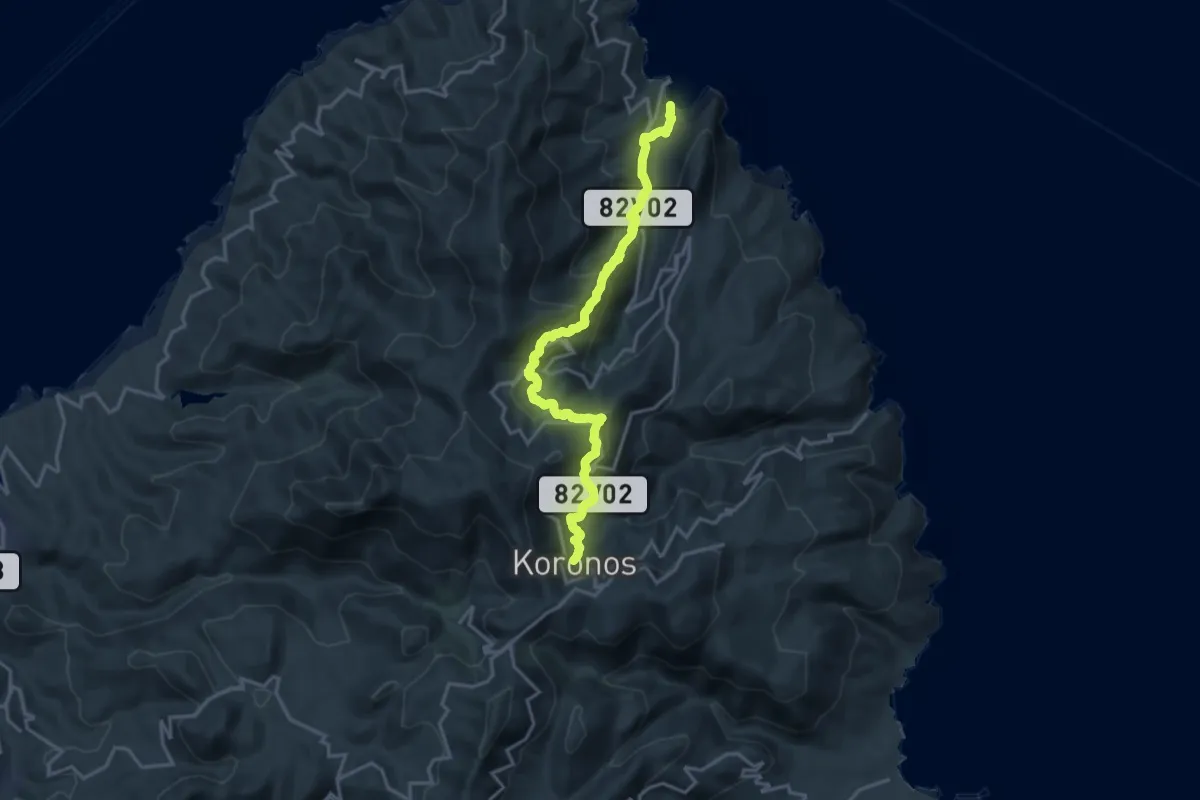
Demanding · Trail
9 - Κόρωνος – Σκαδό – Αγιος Νικόλαος – Κωμιακή – Απόλλωνας
20.7 km · ↑ 1297 m · 7 h 41 min
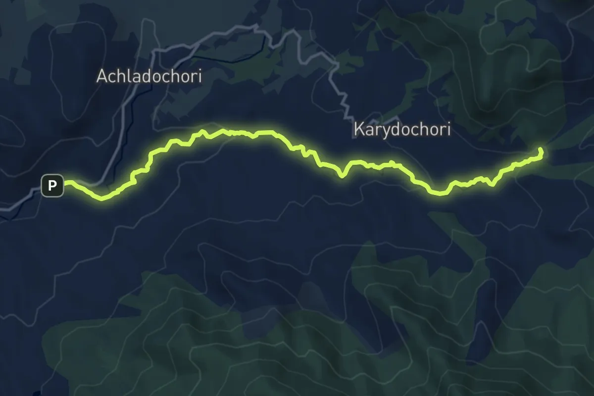
Medium · Trail
9 Πέτρινα Γεφύρια
16.6 km · ↑ 307 m · 4 h 35 min
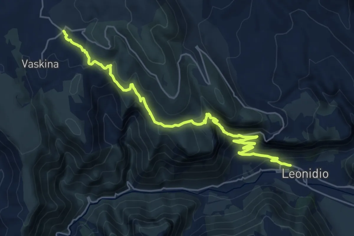
Demanding · Trail
Leonidio – Vaskina
23.4 km · ↑ 1034 m · 7 h 45 min
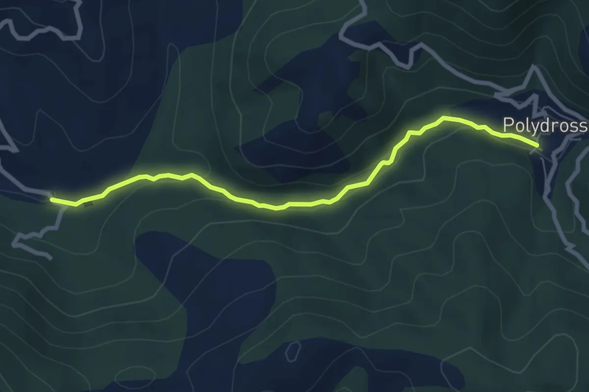
Easy · Trail
Tsitzina – Agii Anargyri
7.1 km · ↑ 154 m · 2 h
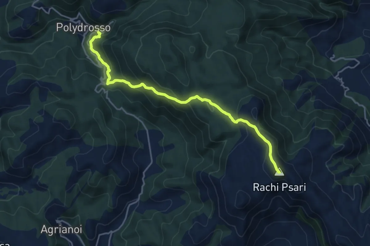
Demanding · Summit
Tsitzina – Profitis Ilias
15.6 km · ↑ 1068 m · 6 h
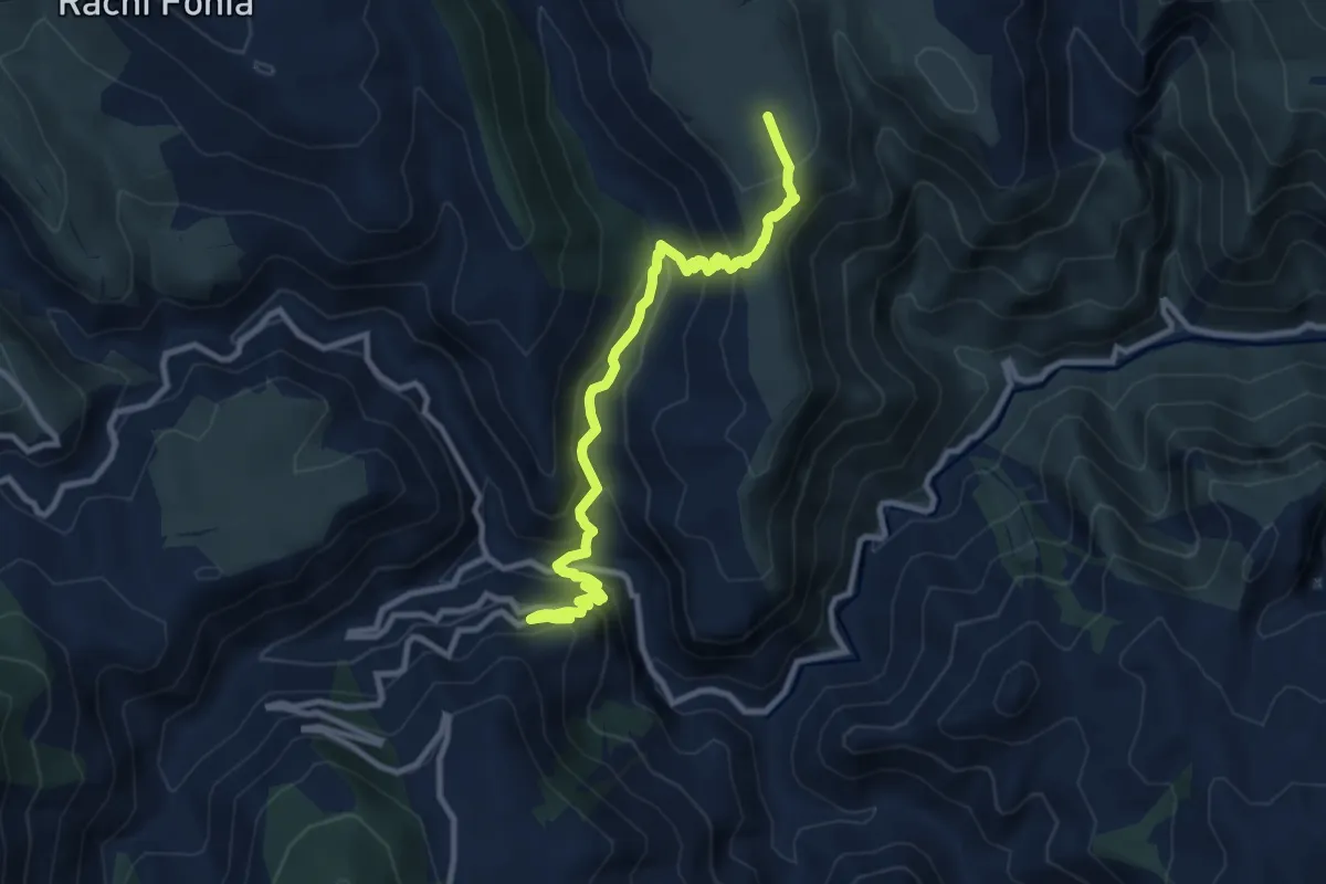
Demanding · Trail
Elona – Vaskina
12.4 km · ↑ 883 m · 4 h 50 min
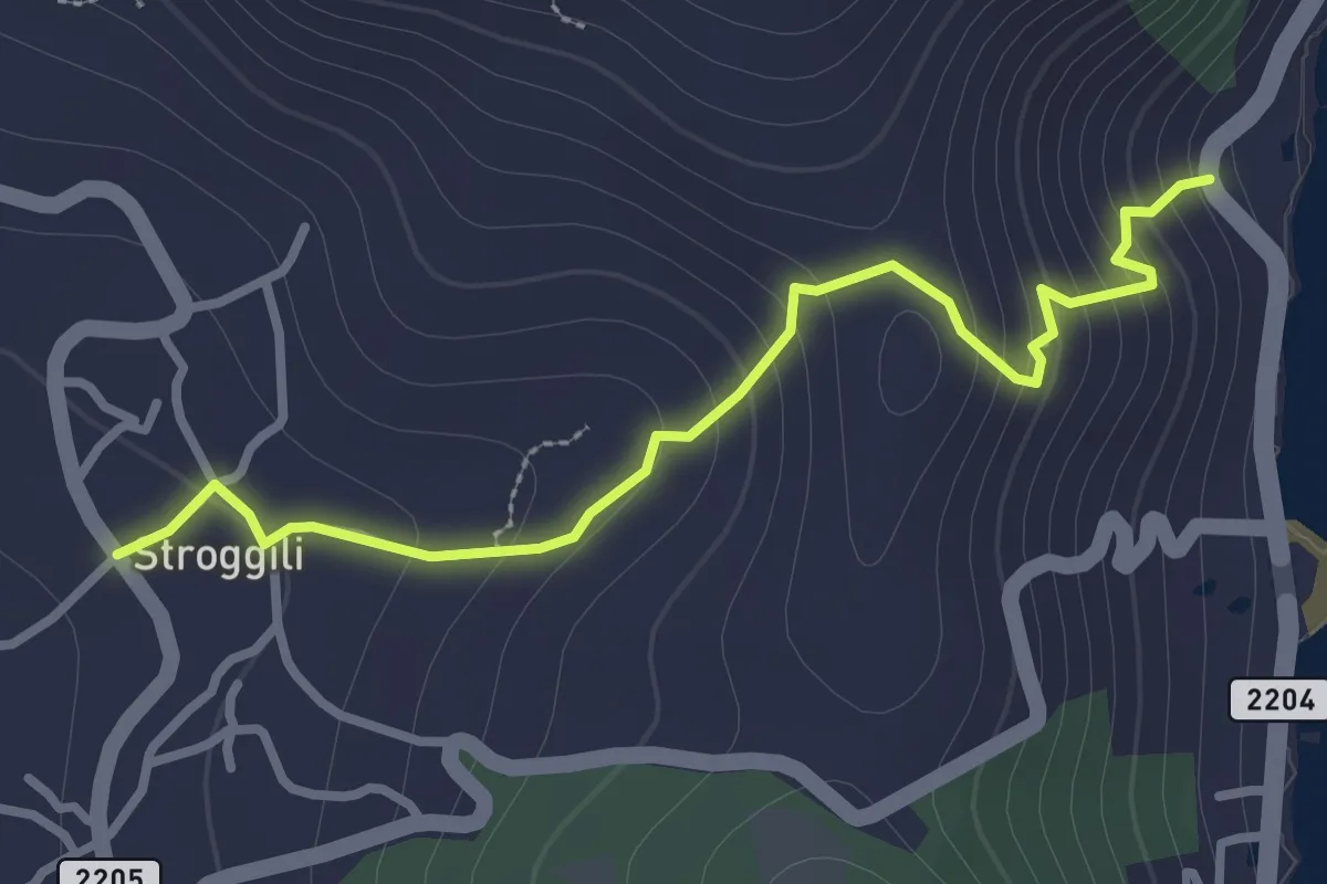
Easy · Trail
Strongili – Marbella
3.4 km · ↑ 217 m · 1 h 17 min
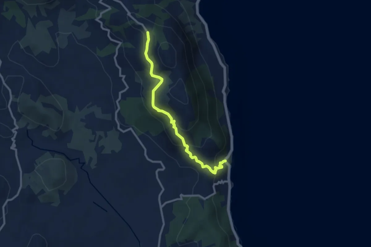
Medium · Trail
Dafnata – Marbella
8.0 km · ↑ 477 m · 2 h 55 min
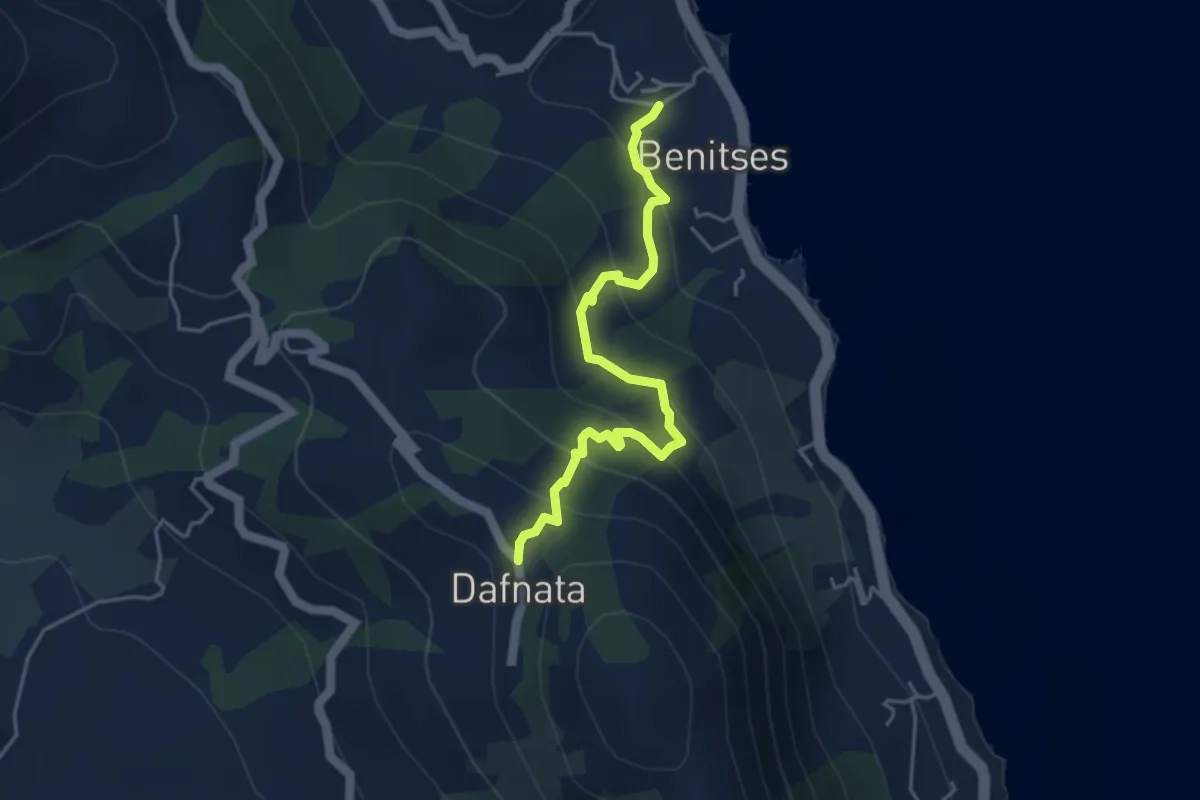
Medium · Trail
Benitses – Dafnata
4.9 km · ↑ 333 m · 1 h 52 min
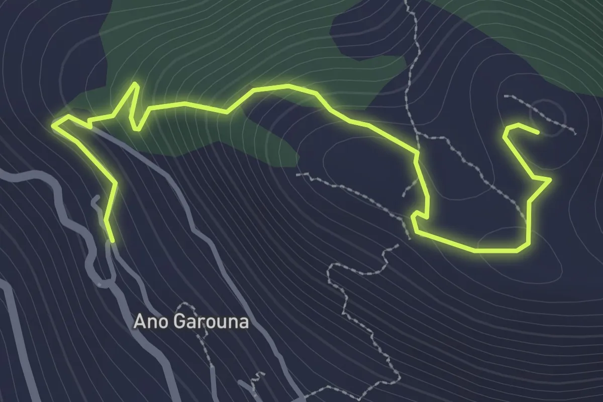
Easy · Trail
Ano Garouna – Hilltop (Radar)
4.3 km · ↑ 250 m · 1 h 33 min
Medium · Trail
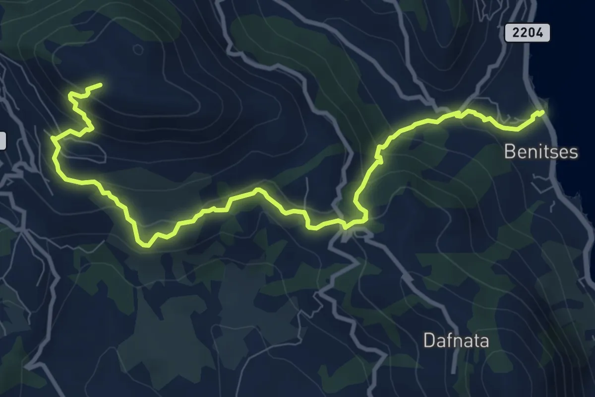
Benitses – Pantokratoras Monastery
11.8 km · ↑ 627 m · 4 h 9 min
Medium · Trail
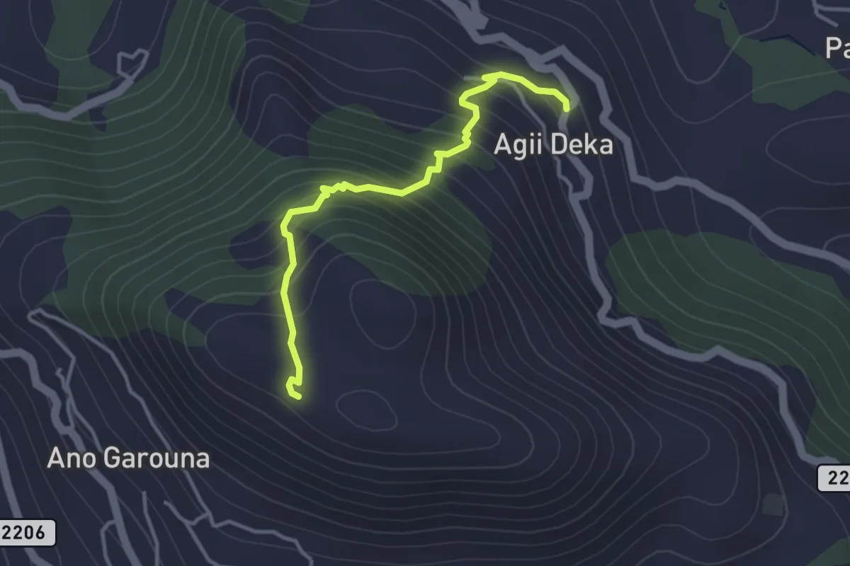
Agioi Deka – Pantokratoras Monastery
3.8 km · ↑ 333 m · 1 h 37 min
Easy · Summit
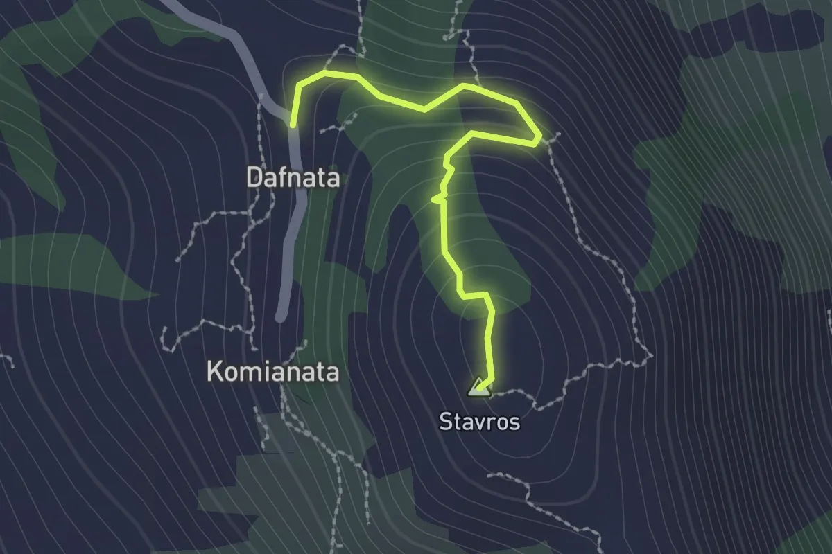
Dafnata – Stavros Hill Top
2.3 km · ↑ 168 m · 55 min
Medium · Trail
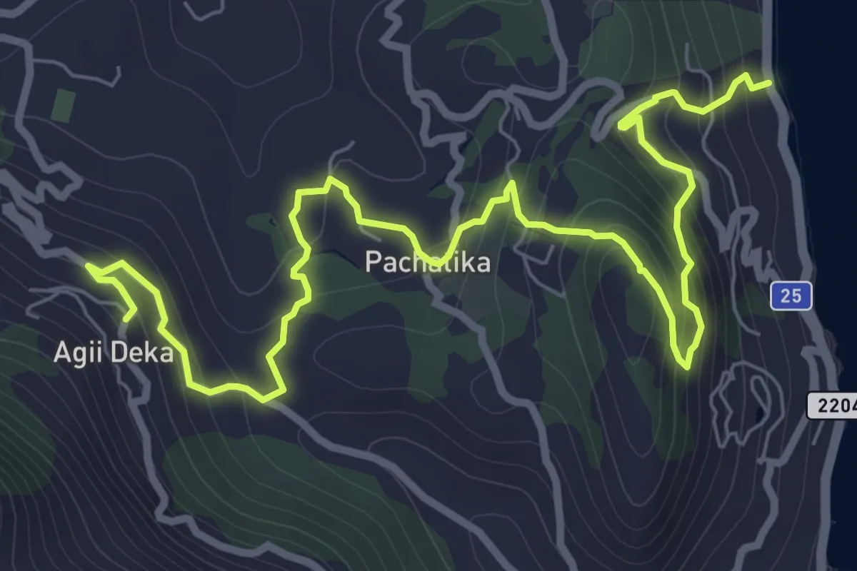
Kaiser Bridge – Agioi Deka
10.6 km · ↑ 599 m · 3 h 48 min
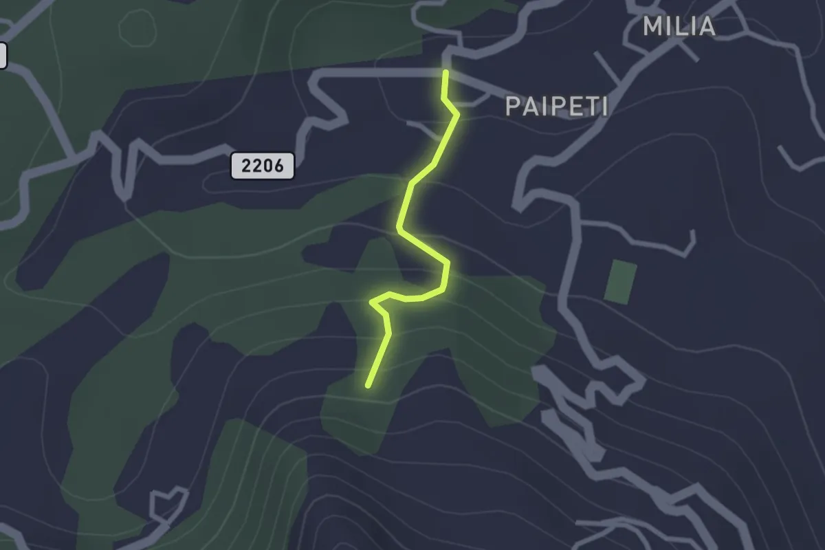
Easy · Trail
Koinopiastes – N.9 (Agioi Deka/Kamara)
2.0 km · ↑ 123 m · 45 min
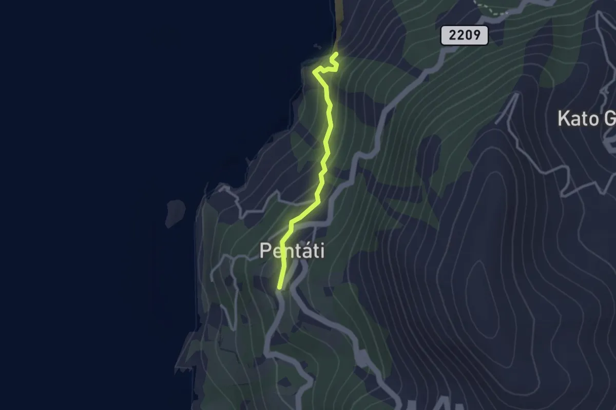
Easy · Trail
Ai Gordis – Pentati
2.5 km · ↑ 233 m · 1 h 6 min
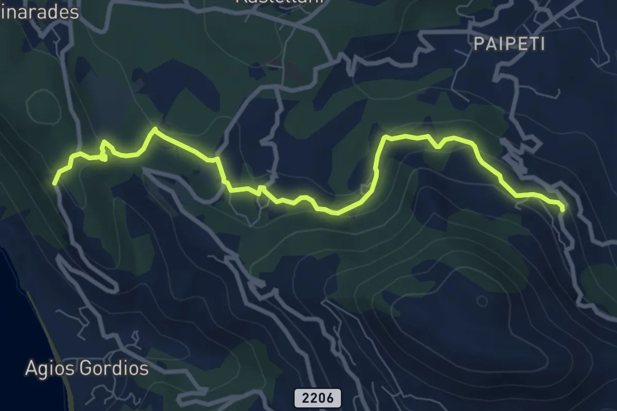
Medium · Trail
Agioi Deka – Kamara
9.2 km · ↑ 239 m · 2 h 41 min
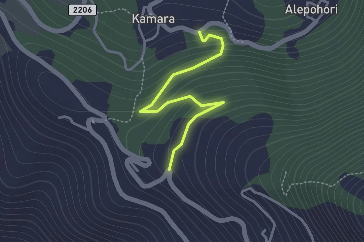
Easy · Trail
Ano Garouna – Kamara
2.6 km · ↑ 128 m · 54 min
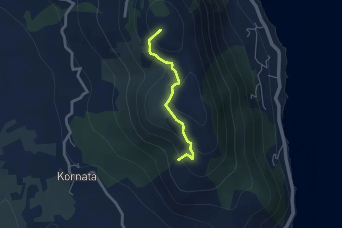
Easy · Summit
Dafnata – Pantokratoras Church
3.4 km · ↑ 204 m · 1 h 14 min
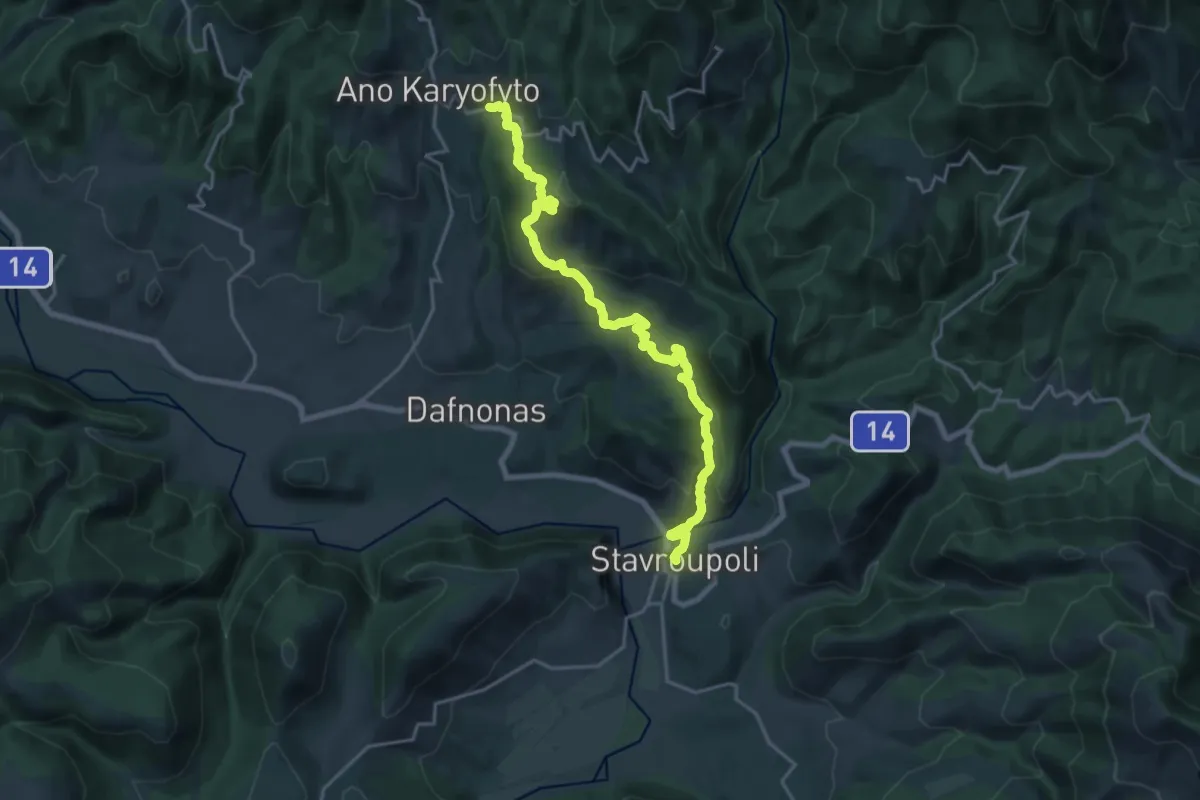
Demanding · Trail
Stavroupoli – Kato Karyofyto
23.0 km · ↑ 812 m · 7 h 11 min