Trails in Greece
1,130 hiking trails, each with its route, climb, walking time and grade.
All trails, page 9 of 24
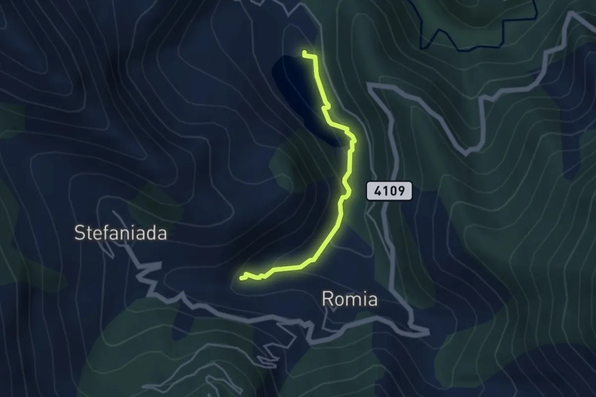
Easy · Trail
Limni Stefaniada - Stefaniotiko Rema
3.7 km · ↑ 191 m · 1 h 18 min
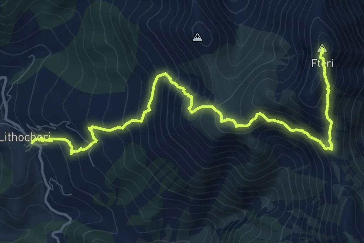
Demanding · Summit
Lithoxori - Fteri - Pratina - Lithoxori
12.8 km · ↑ 1278 m · 5 h 47 min
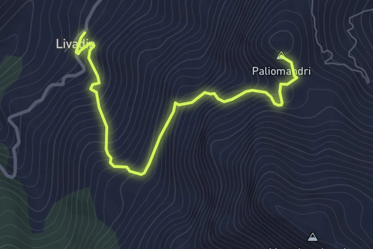
Medium · Summit
Livadia Petrilou - Diaselo 1770 - Korifi Paliomandri 1832
7.1 km · ↑ 634 m · 3 h 4 min
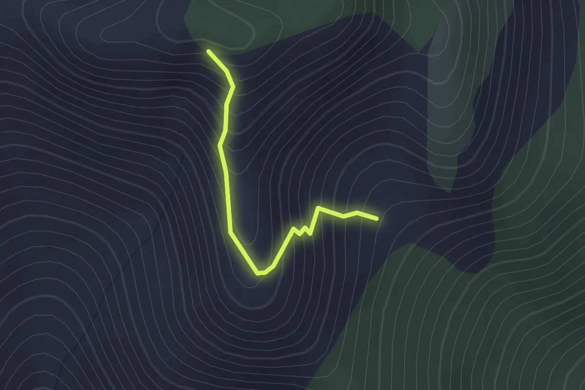
Medium · Trail
Livadi - Notia Rachi
2.5 km · ↑ 354 m · 1 h 22 min
Medium · Trail
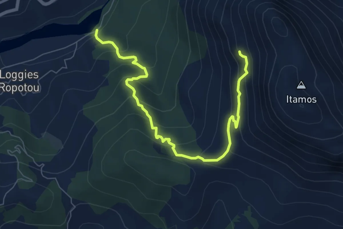
Loggies - A33 Athineo
8.6 km · ↑ 607 m · 3 h 20 min
Demanding · Summit
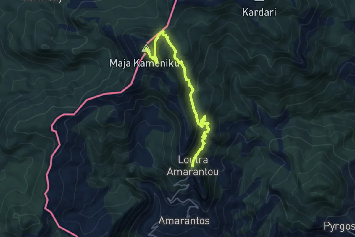
Loutra Amarantou Kamenik Trail
15.9 km · ↑ 1010 m · 5 h 56 min
Demanding · Trail
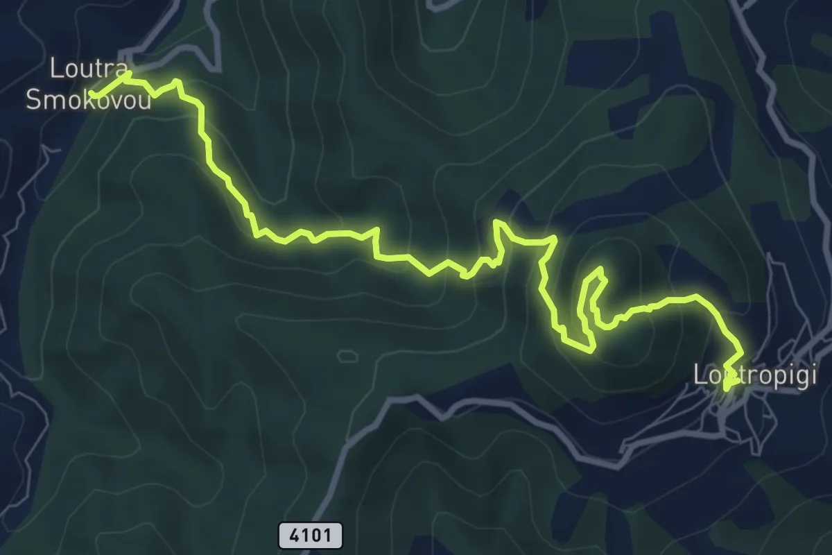
Loutra Smokovou - Korifi Kastro Menelaidos - Loutropigi
11.4 km · ↑ 871 m · 4 h 35 min
Easy · Trail
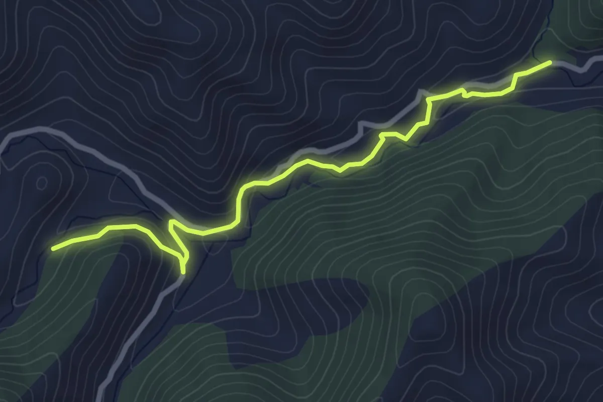
Loutra Soulanta - Rema Agmarina
6.6 km · ↑ 205 m · 2 h
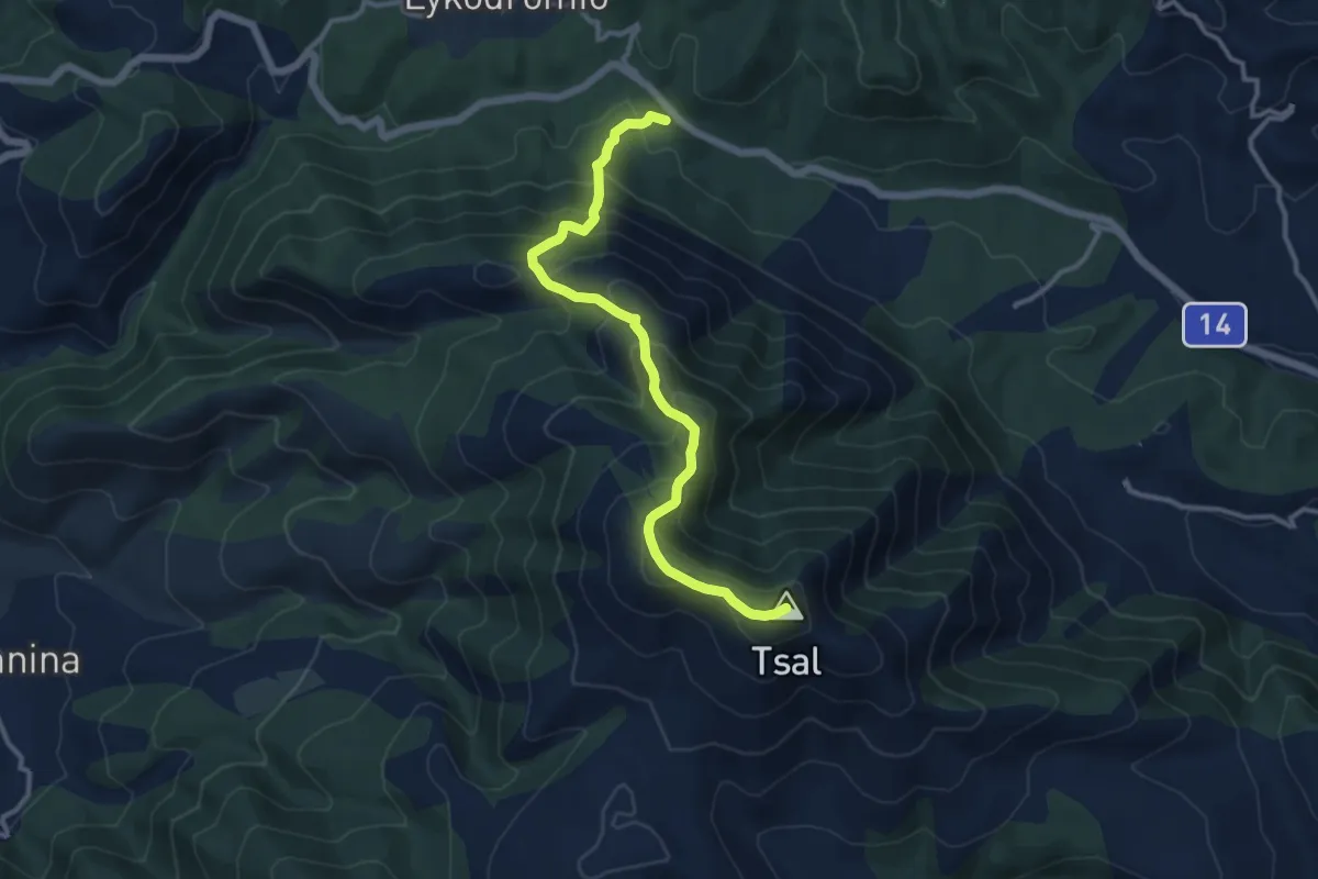
Demanding · Summit
Lykodromio Tsal Trail
13.0 km · ↑ 1099 m · 5 h 27 min
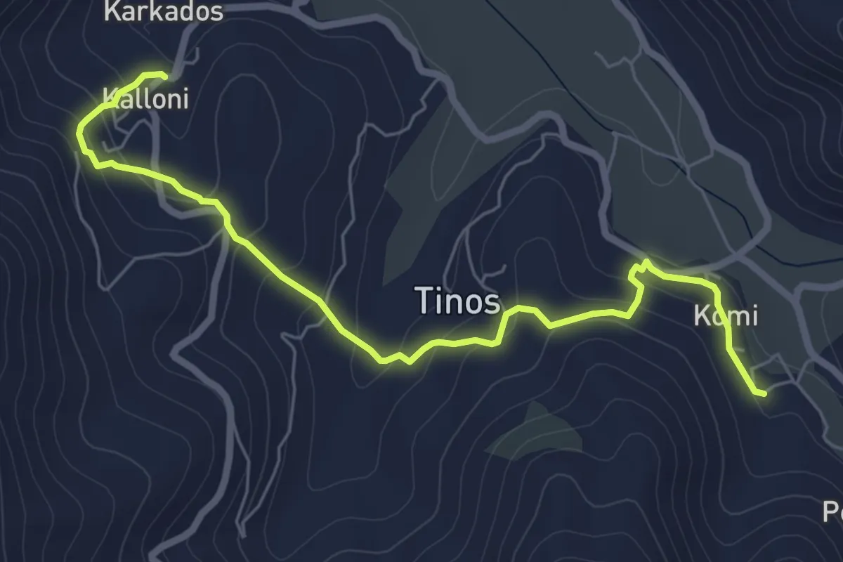
Easy · Trail
M04-M05 connect
7.5 km · ↑ 277 m · 2 h 23 min
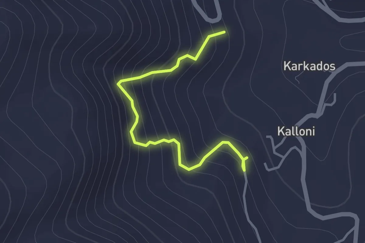
Medium · Trail
M-05 extent
3.5 km · ↑ 336 m · 1 h 34 min
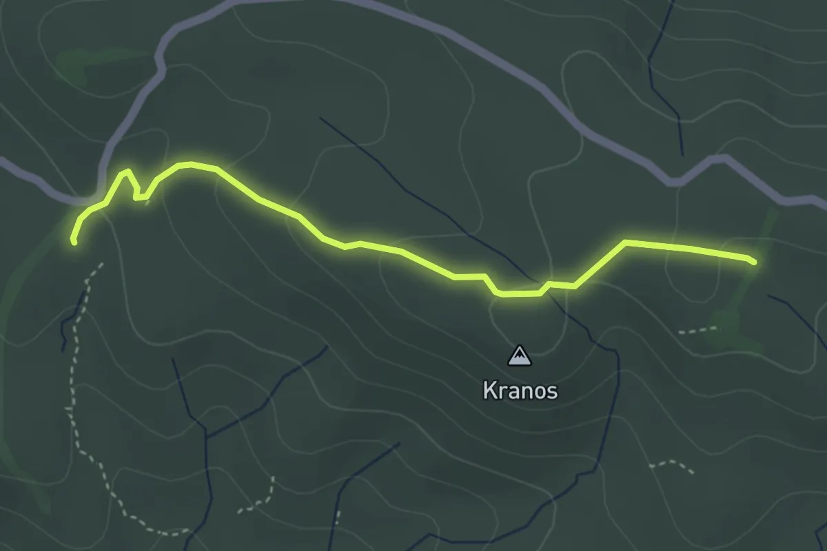
Easy · Trail
M1
4.1 km · ↑ 125 m · 1 h 15 min
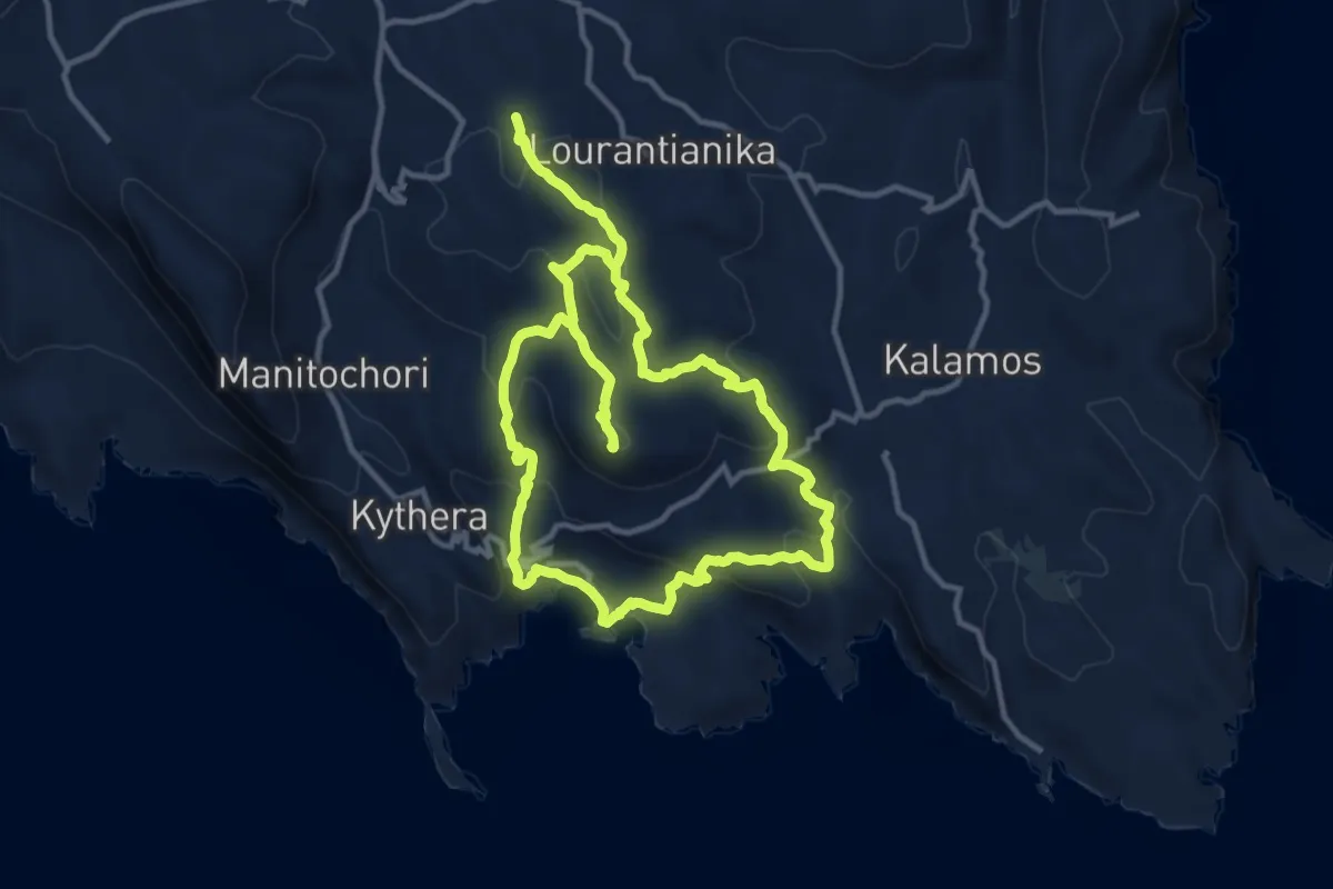
Medium · Trail
M11 Kapsali-Agios Ioannis Agriolies-Kapsali
14.8 km · ↑ 541 m · 4 h 52 min
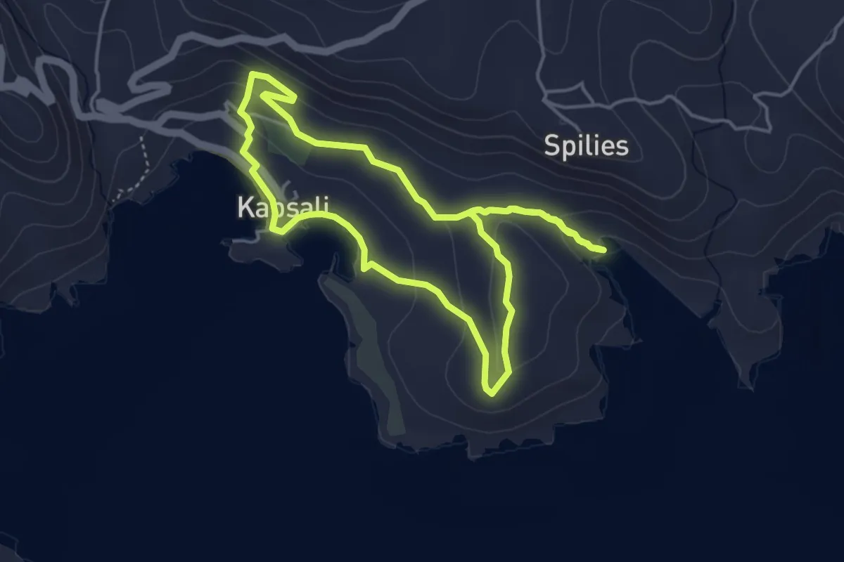
Easy · Trail
M12 Kapsali-Agios Ioannis En Krimno-Moulin de Apokleistra-Kapsali
4.7 km · ↑ 158 m · 1 h 31 min
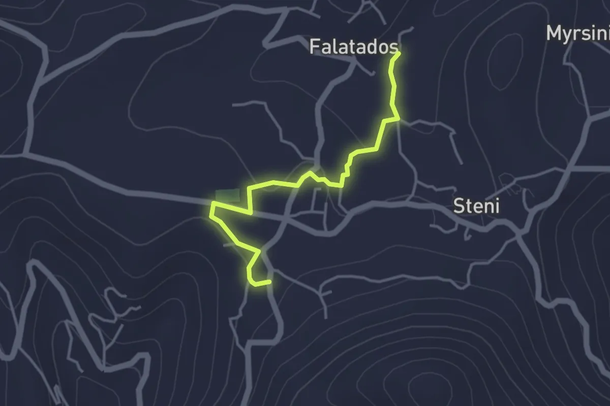
Easy · Trail
M1A Falatados-Mesi-Tzados
3.9 km · ↑ 44 m · 1 h 1 min
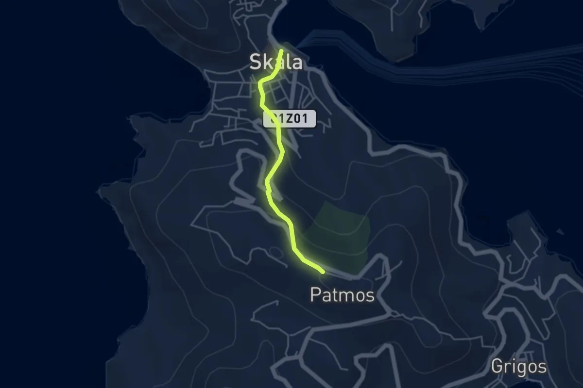
Easy · Trail
M1 Apokalypsis
3.6 km · ↑ 188 m · 1 h 16 min
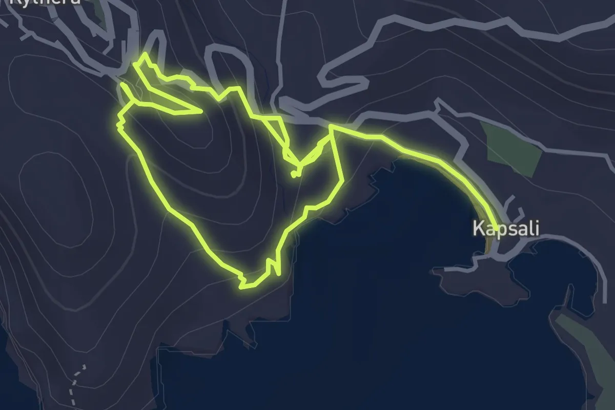
Medium · Trail
M1 Kapsali-Chora (Kythera)
7.5 km · ↑ 306 m · 2 h 26 min
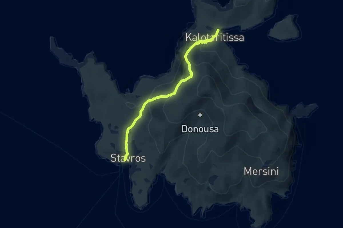
Medium · Trail
M1 Stavros - Kalotaritissa
8.6 km · ↑ 524 m · 3 h 11 min
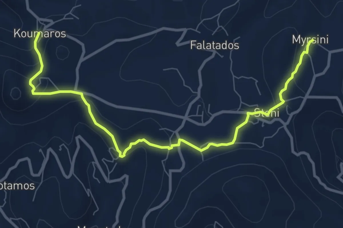
Medium · Trail
M1 Steni-Karya-Xompourgo-Steni
9.6 km · ↑ 356 m · 3 h 3 min
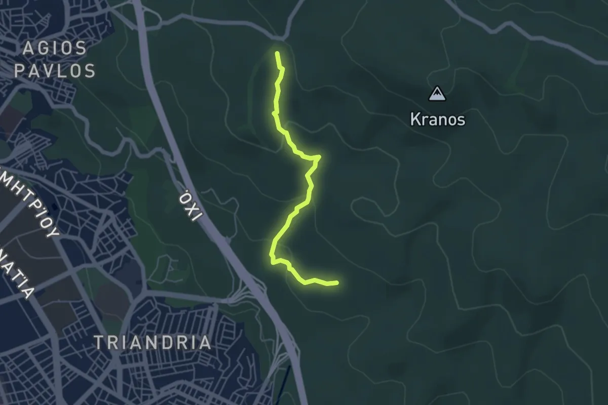
Easy · Trail
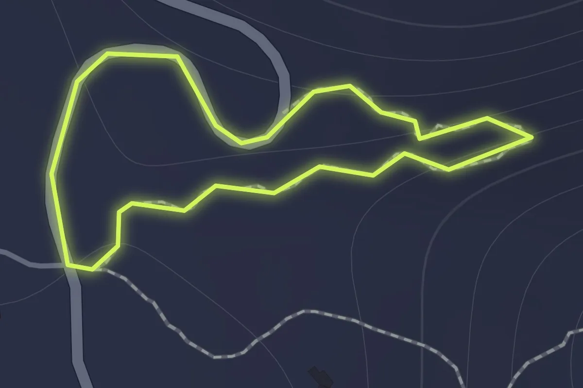
M2
4.8 km · ↑ 217 m · 1 h 36 min
Easy · Trail
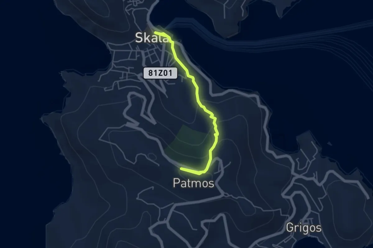
M2A
1.0 km · ↑ 40 m · 20 min
Easy · Trail
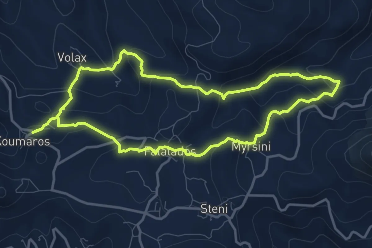
M2 Aporthianos
5.1 km · ↑ 215 m · 1 h 41 min
Medium · Trail
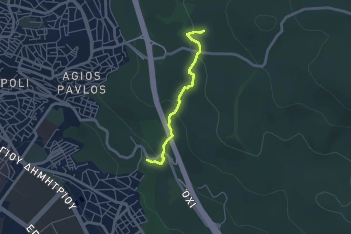
M2 Volax-Falatados-Myrsini
9.3 km · ↑ 369 m · 3 h 8 min
Easy · Trail
M3
3.5 km · ↑ 134 m · 1 h 7 min
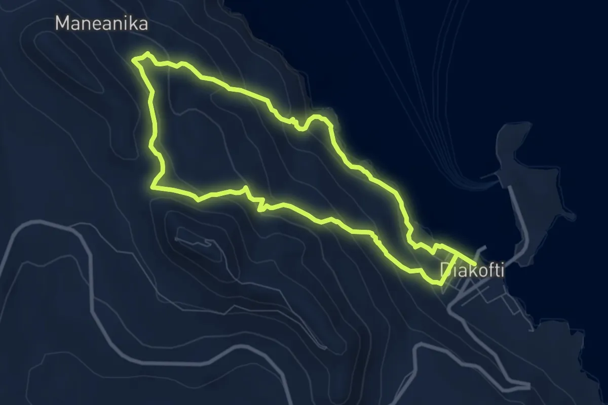
Medium · Trail
M37 Diakofti-Viglatoria-Diakofti
9.1 km · ↑ 357 m · 3 h 2 min
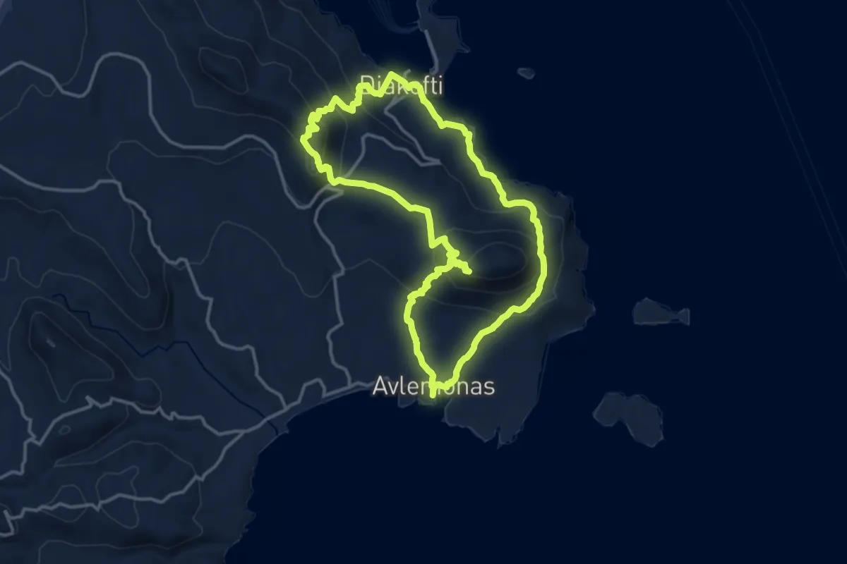
Medium · Trail
M38 Diakofti-Avlemonas-Diakofti
15.5 km · ↑ 719 m · 5 h 26 min
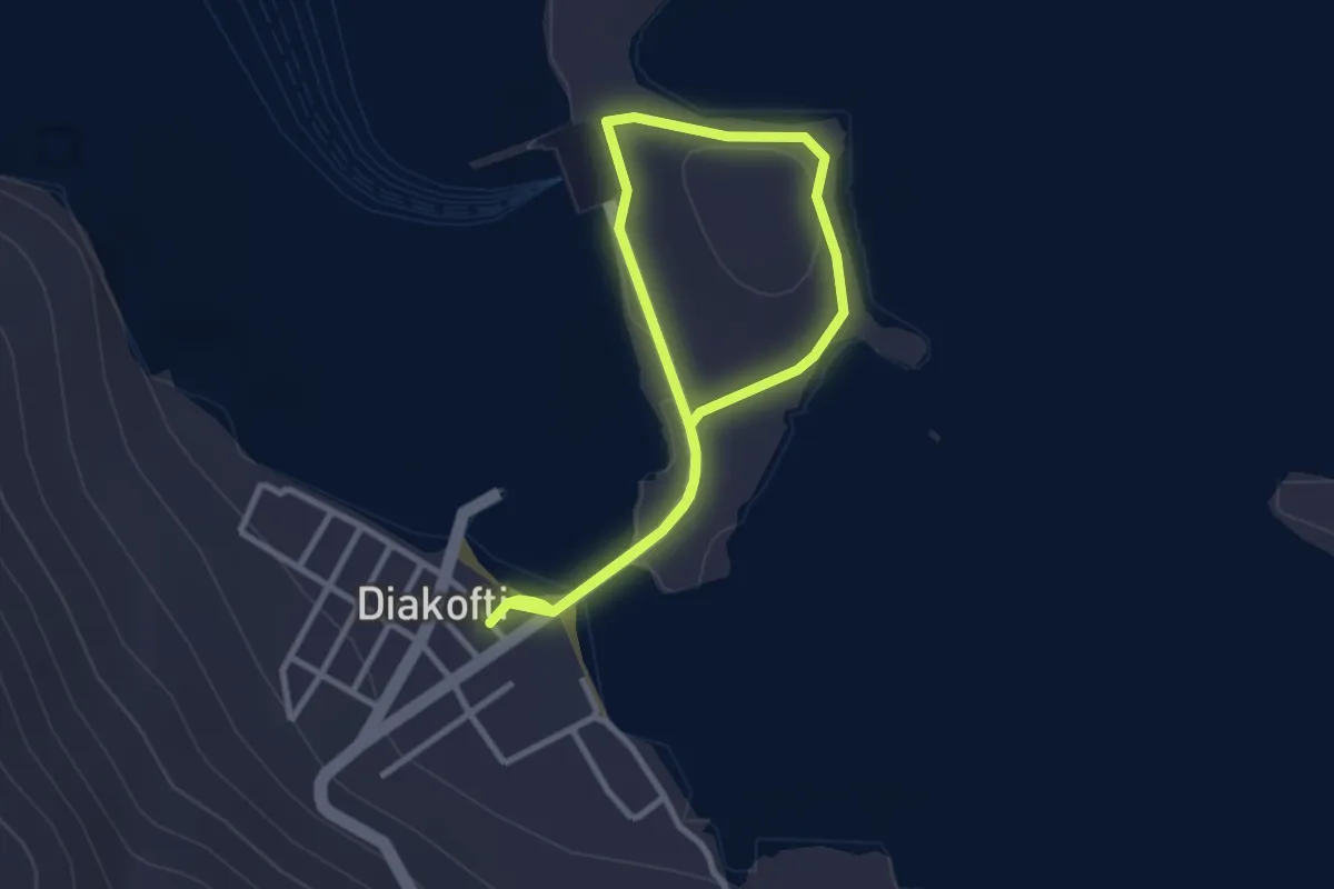
Easy · Trail
M39 Diakofti Bridge-Port-Diakofti Bridge
3.0 km · ↑ 19 m · 47 min
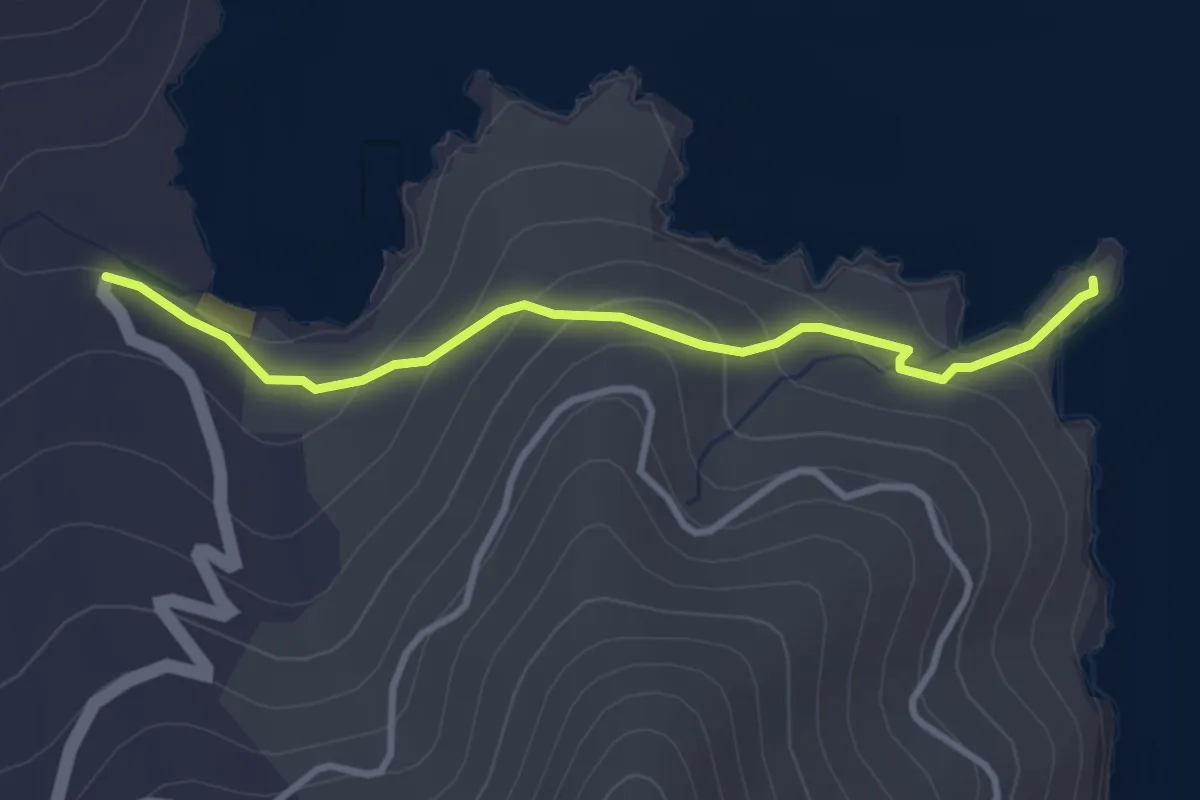
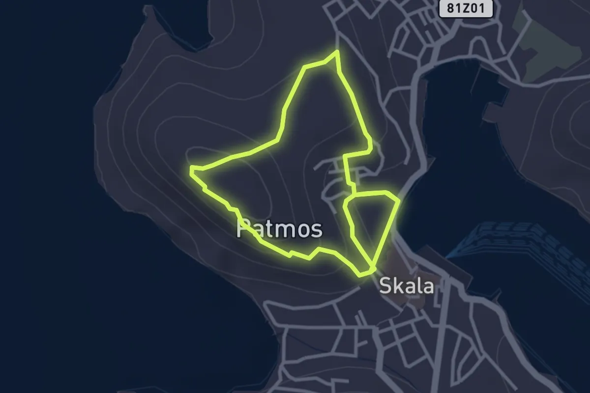
Easy · Trail
M3A- Ormos Leivadas - Faros Leivadas
3.7 km · ↑ 187 m · 1 h 16 min
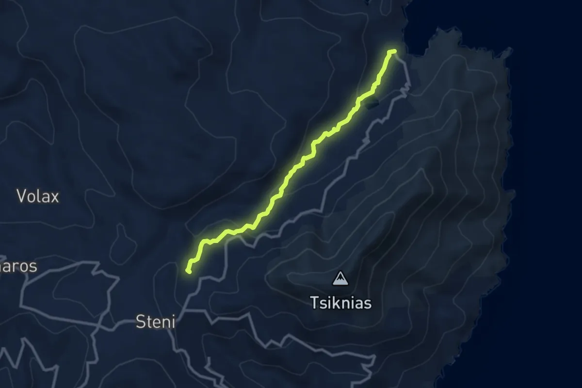
Easy · Trail
M3 Kastelli
3.0 km · ↑ 143 m · 1 h 4 min
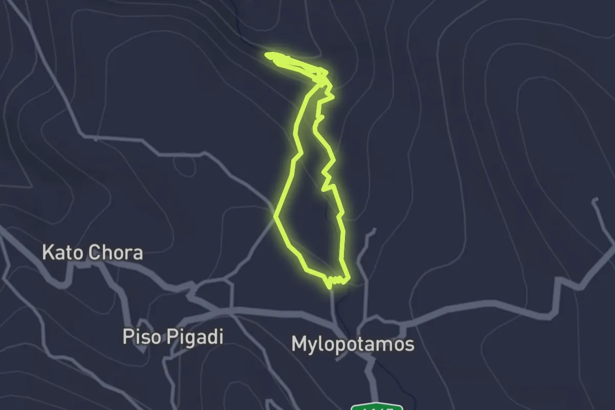
Medium · Trail
M3 - Myrsini - Ormos Leivadas
9.9 km · ↑ 379 m · 3 h 9 min
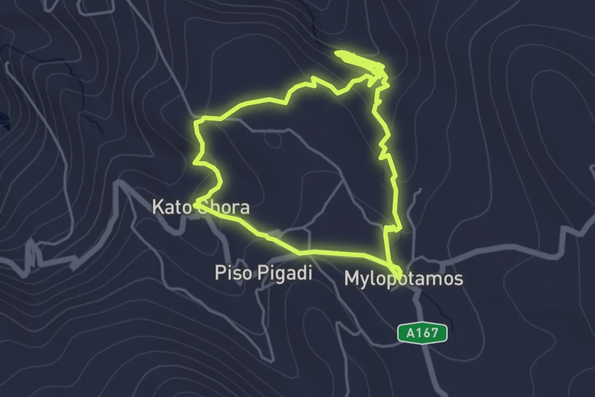
Easy · Trail
M41 Mylopotamos Trail (short loop)
2.7 km · ↑ 131 m · 57 min
Easy · Trail
M41 Valley of the Watermills
4.6 km · ↑ 189 m · 1 h 33 min
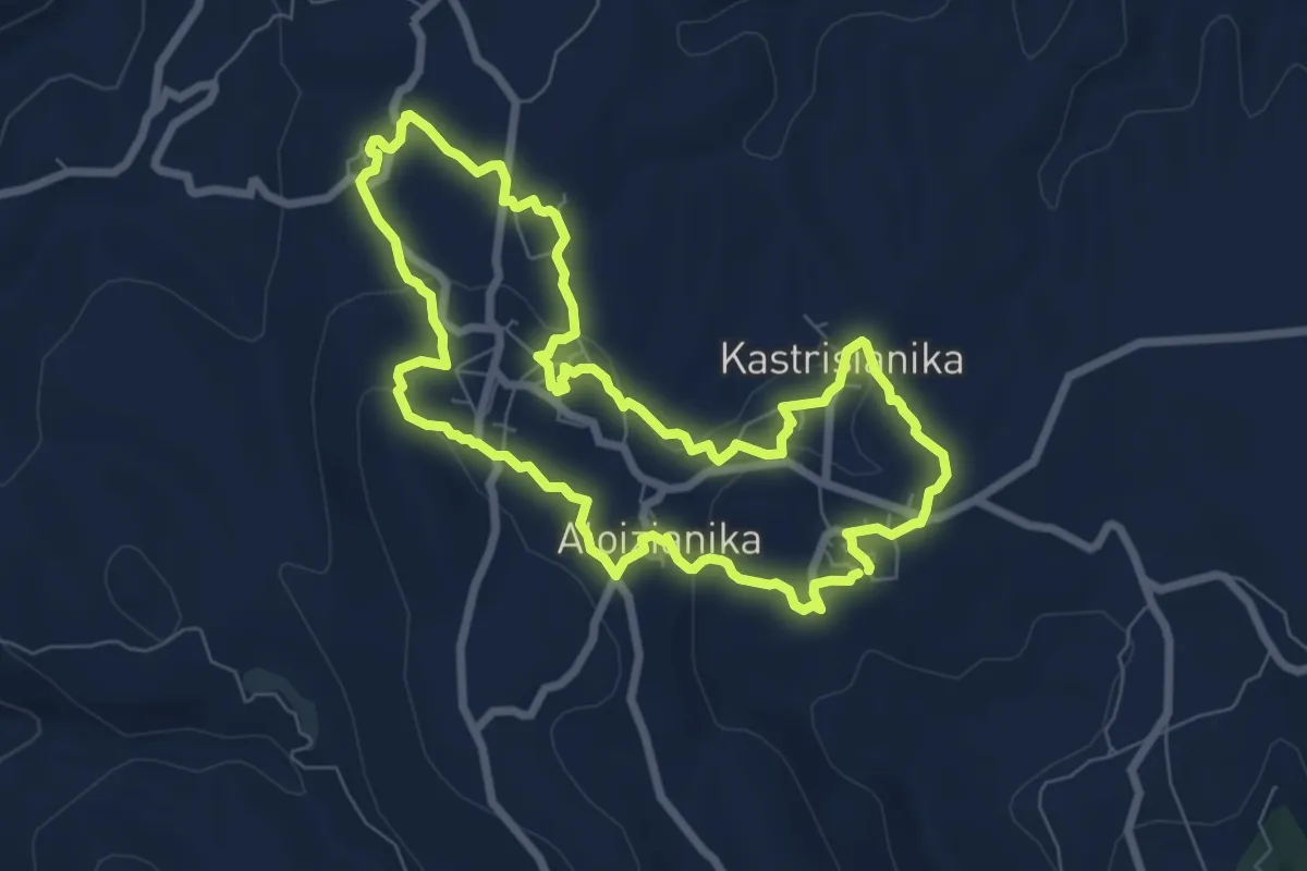
Medium · Trail
M44 Aroniadika-Friligkianika-Pitsinades-Aroniadika
8.6 km · ↑ 142 m · 2 h 27 min
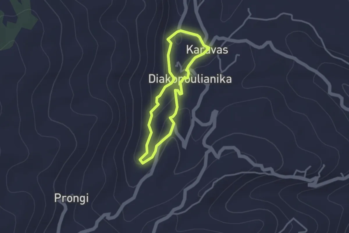
Easy · Trail
M49A Amir Ali-Karavas-Diakopoulianika-Amir Ali
2.6 km · ↑ 92 m · 52 min
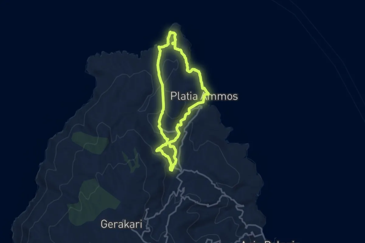
Medium · Trail
M49 Amir Ali-Agios Nikolaos-Plateia Ammos-Amir Ali
11.4 km · ↑ 389 m · 3 h 42 min
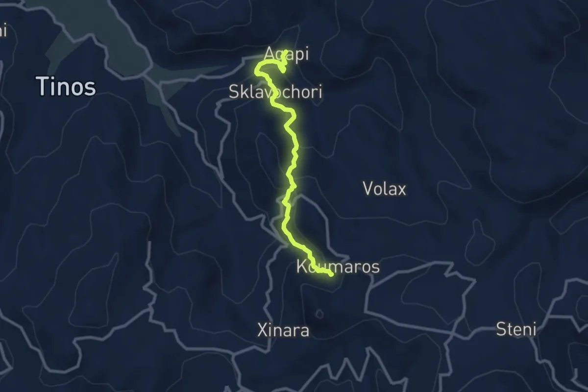
Medium · Trail
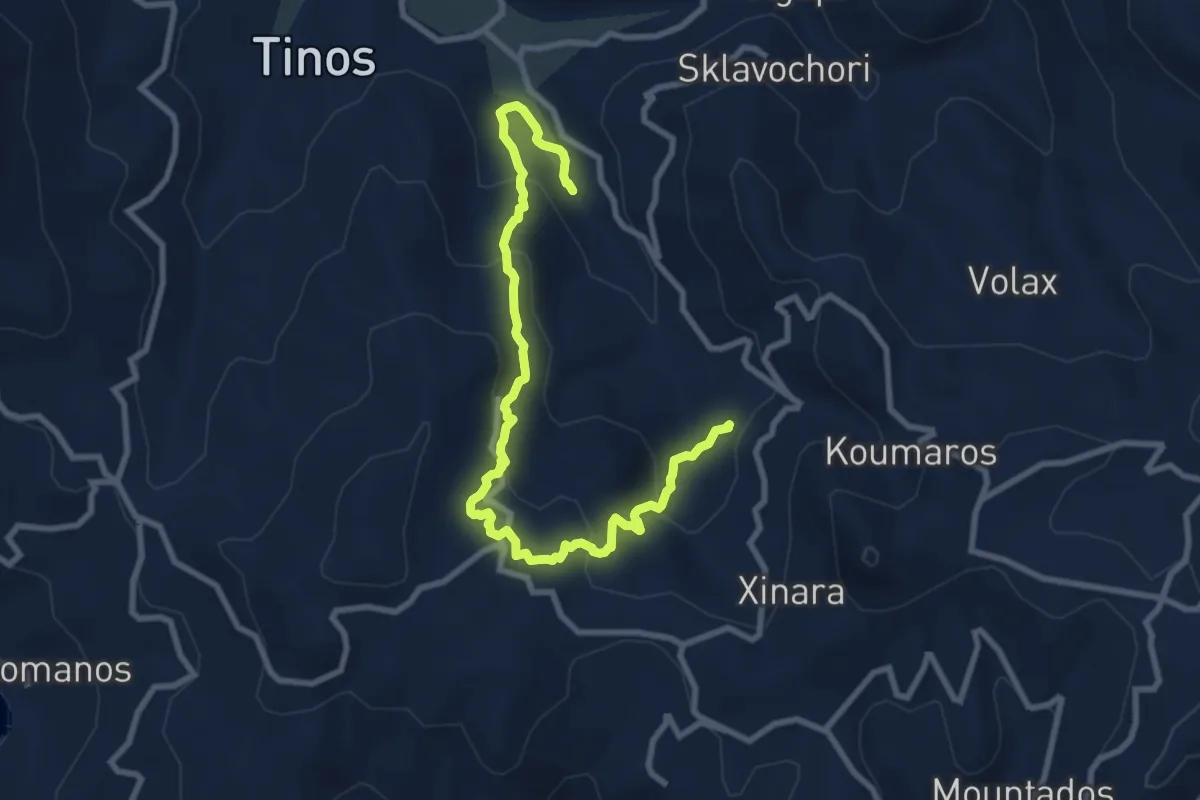
M4A Agapi-Sklavochori - Skalados - Koumaros
8.7 km · ↑ 489 m · 3 h 7 min
Medium · Trail
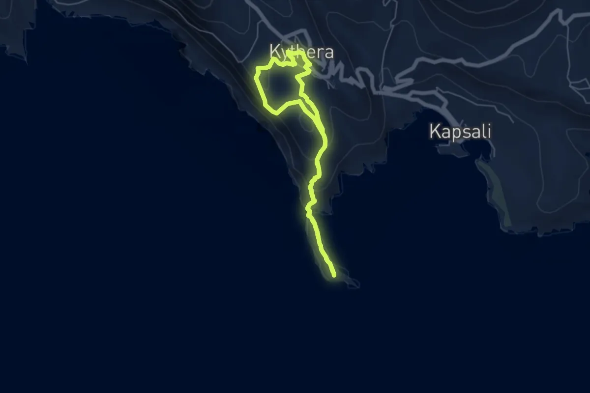
M4B - Perastra - Komi - Tarampados - Loutra
12.0 km · ↑ 561 m · 4 h 2 min
Expert · Trail
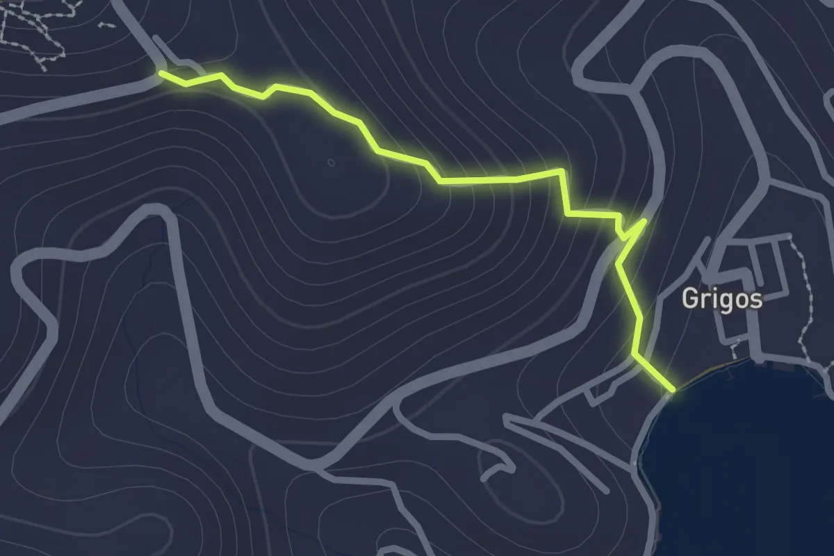
M4 Chora-Trachilas
5.1 km · ↑ 229 m · 1 h 46 min
Easy · Trail
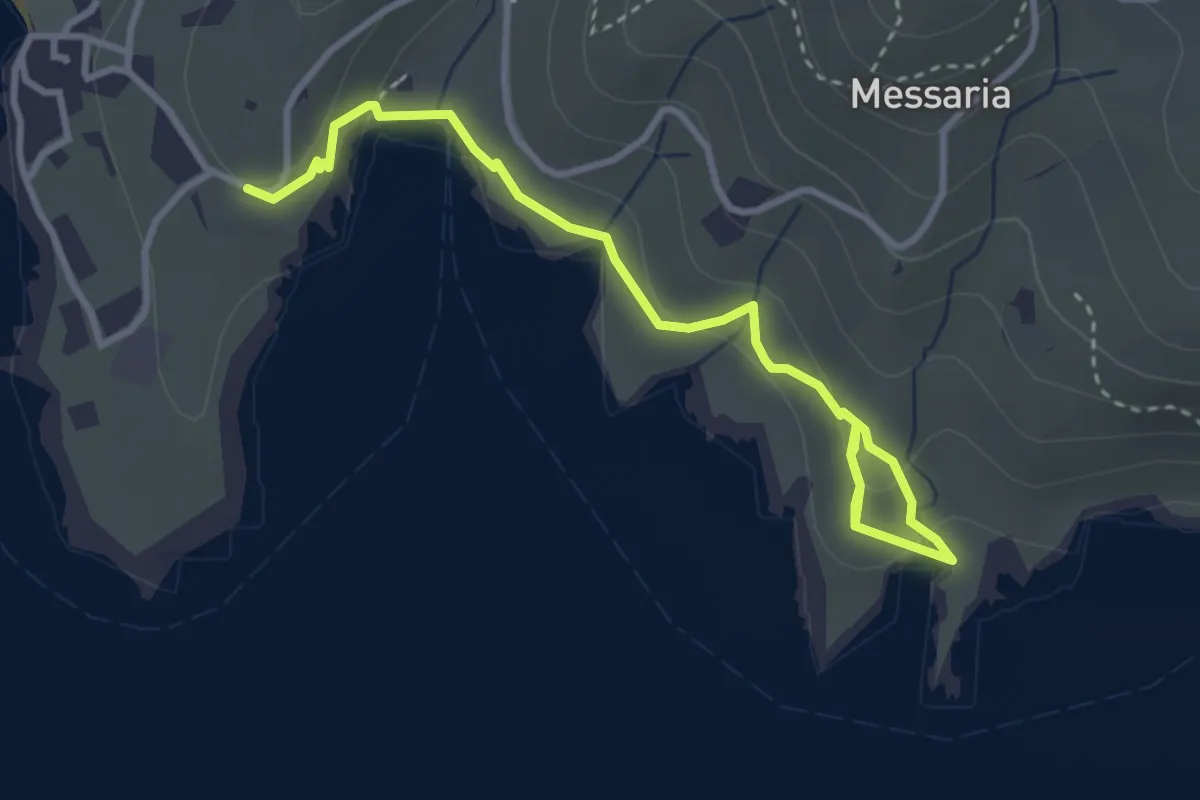
M4 Chora-Trachilas
2.5 km · ↑ 174 m · 58 min
Easy · Trail
M4 Kedros - Kato Milos
4.5 km · ↑ 209 m · 1 h 31 min
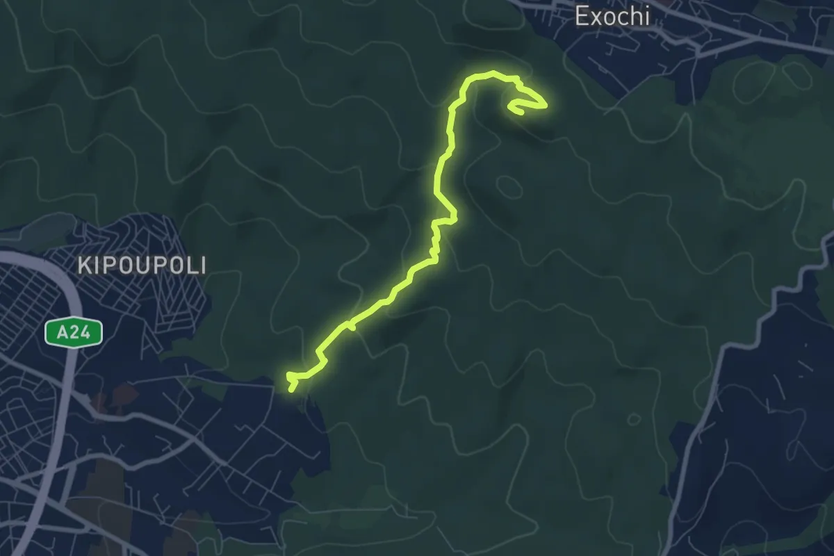
Medium · Summit
M5
8.2 km · ↑ 326 m · 2 h 39 min
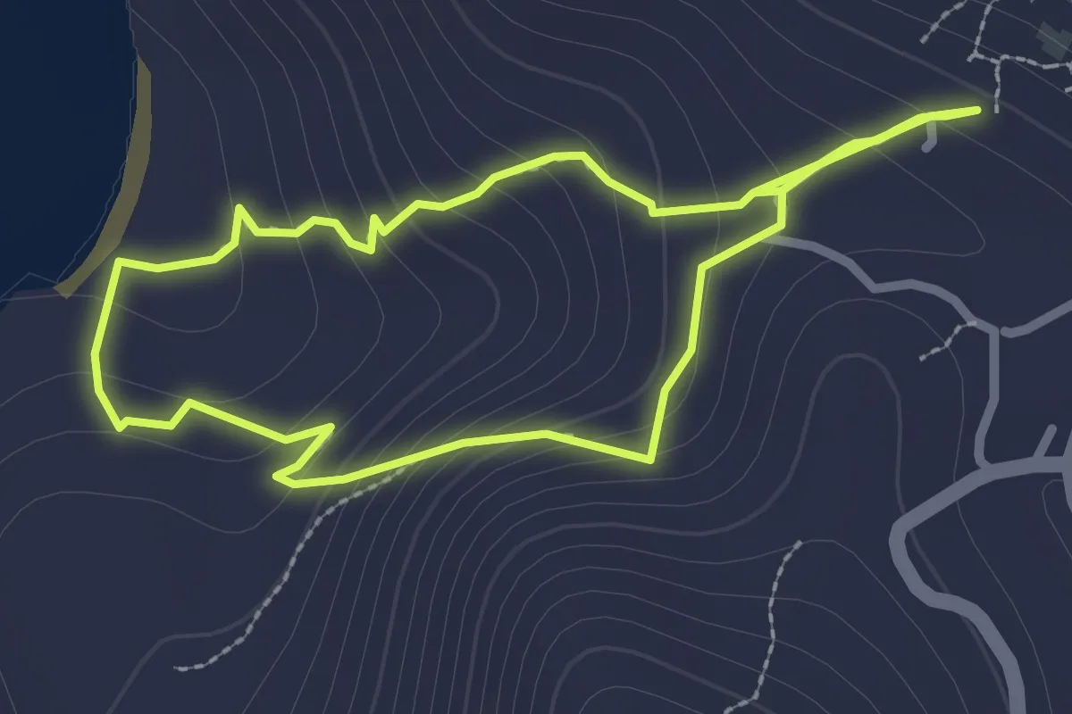
Easy · Trail
M5 Chora - Kipoi
2.9 km · ↑ 180 m · 1 h 6 min
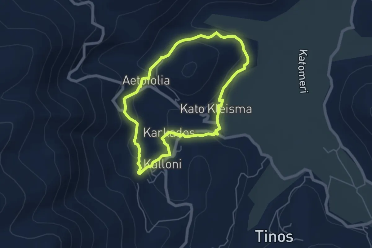
Easy · Trail
M5 Kalloni-Aetofolia-Kalloni
4.7 km · ↑ 148 m · 1 h 29 min
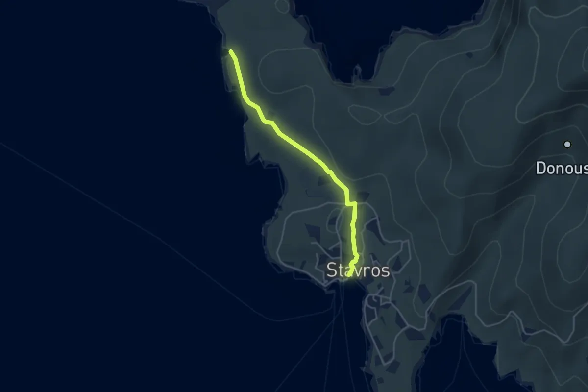
Easy · Trail
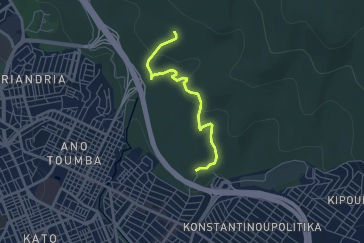
M5 Stavros - Limni
4.2 km · ↑ 96 m · 1 h 12 min
Easy · Trail
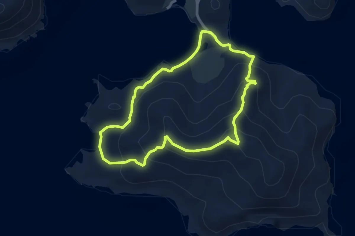
M6
4.6 km · ↑ 183 m · 1 h 28 min
Easy · Trail
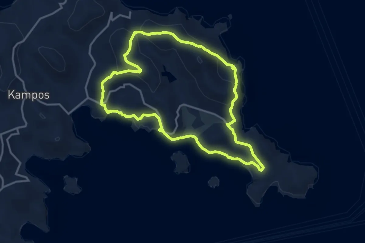
M6 Stavros - Psili Ammos - Stavros
5.4 km · ↑ 279 m · 1 h 57 min
Medium · Trail
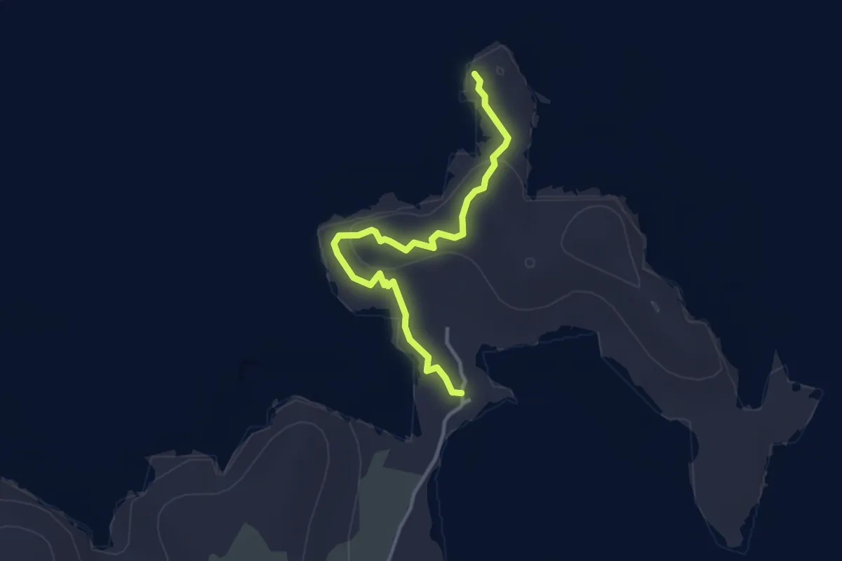
M7 - Vagia - Livadi Geranou - Vagia
10.1 km · ↑ 360 m · 3 h 19 min
Medium · Trail
Main Route 1
3.8 km · ↑ 50 m · 1 h 1 min