Trails near 梅窩 Mui Wo
29 hikes starting within 15 km, nearest first.
Nearest first
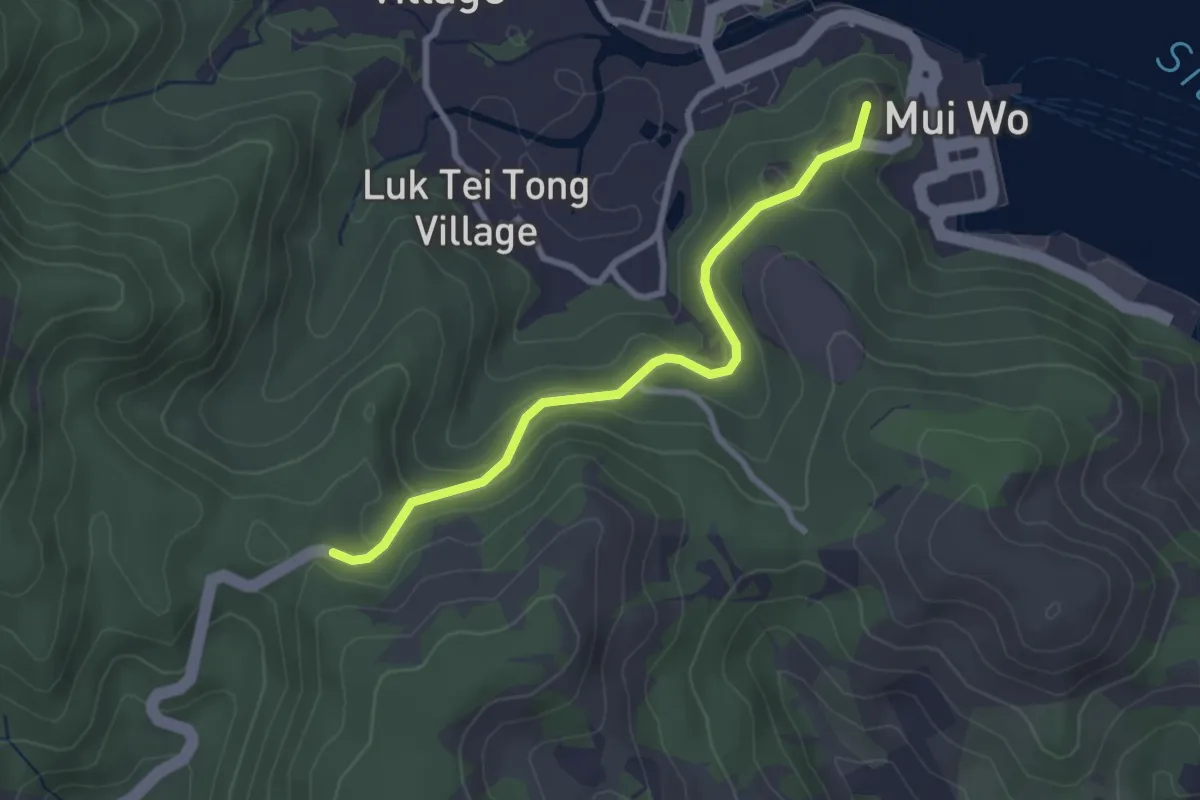
Easy · Summit
鳳凰徑第1段 Lantau Trail Section 1
3.6 km · ↑ 122 m · 1 h 7 min · 2 km away
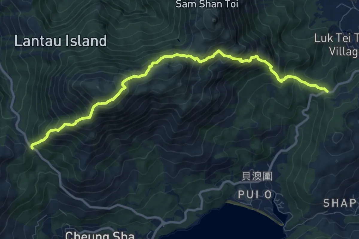
Demanding · Trail
鳳凰徑第2段 Lantau Trail Section 2
12.2 km · ↑ 1151 m · 5 h 22 min · 2 km away
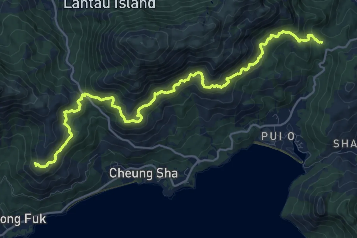
Demanding · Summit
南大嶼郊遊徑 South Lantau Country Trail
18.1 km · ↑ 992 m · 6 h 25 min · 2 km away
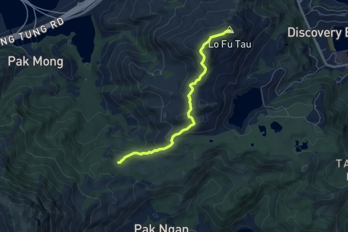
Medium · Summit
老虎頭郊遊徑 Lo Fu Tau Country Trail
6.9 km · ↑ 365 m · 2 h 25 min · 3 km away
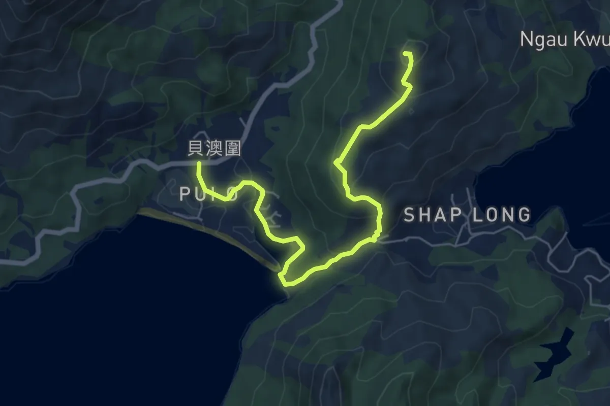
Easy · Summit
鳳凰徑第12段 Lantau Trail Section 12
7.7 km · ↑ 303 m · 2 h 29 min · 3 km away
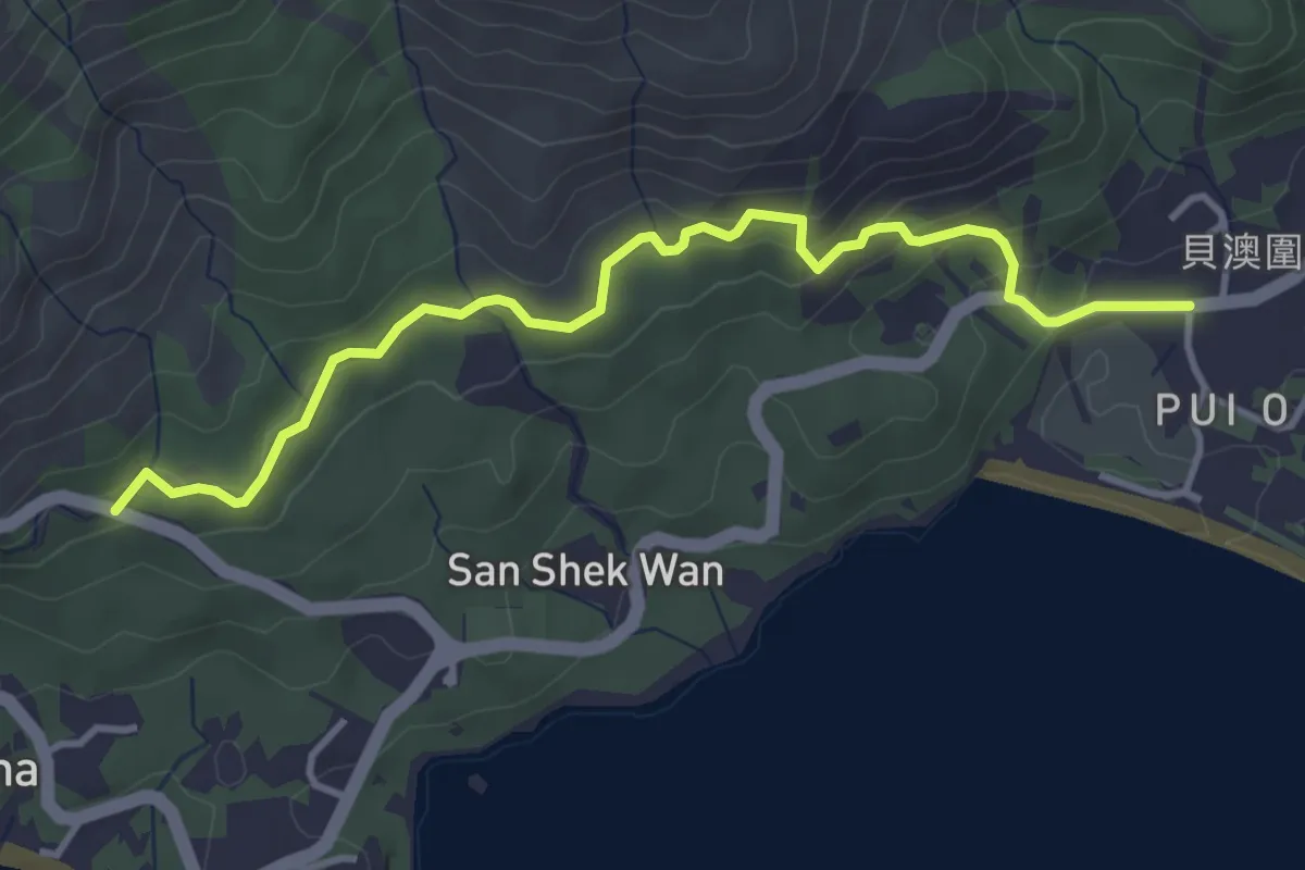
Easy · Trail
鳳凰徑第11段 Lantau Trail Section 11
5.4 km · ↑ 224 m · 1 h 45 min · 3 km away
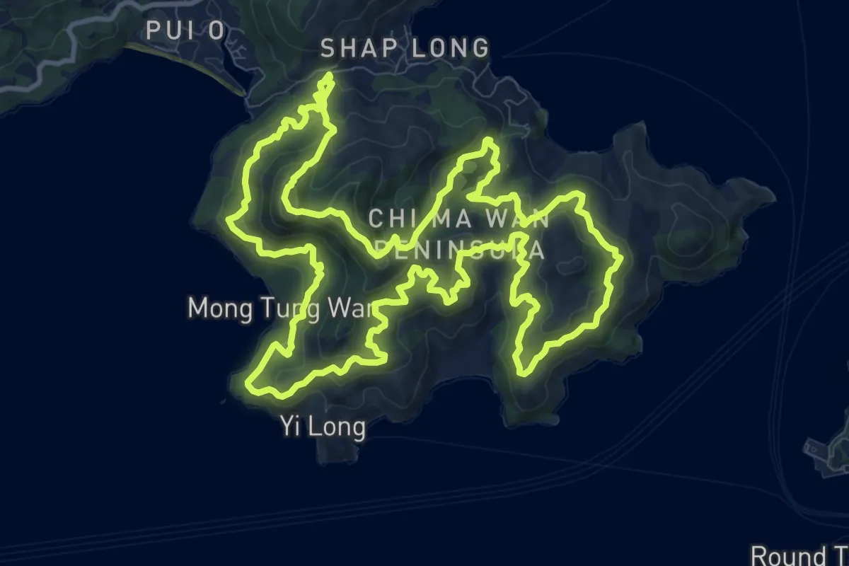
Demanding · Summit
芝麻灣郊遊徑 Chi Ma Wan Country Trail
16.7 km · ↑ 883 m · 6 h 6 min · 4 km away
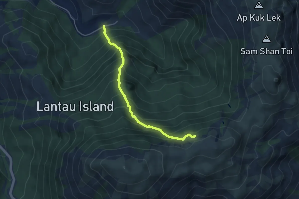
Medium · Trail
黃龍坑郊遊徑 Wong Lung Hang Country Trail
4.3 km · ↑ 629 m · 2 h 22 min · 4 km away
Easy · Trail
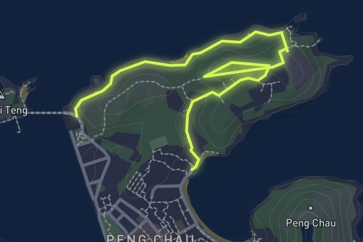
Peng Chau Family Trail
4.6 km · ↑ 86 m · 1 h 16 min · 4 km away
Medium · Summit
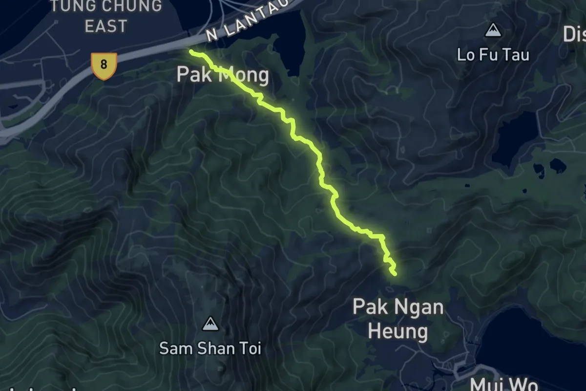
香港奧運徑 Hong Kong Olympic Trail
8.2 km · ↑ 370 m · 2 h 44 min · 5 km away
Medium · Summit
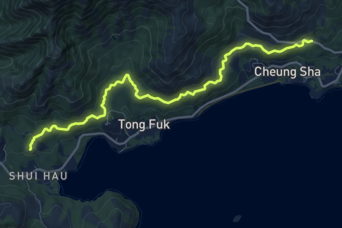
鳳凰徑第十段 Lantau Trail Section 10
12.9 km · ↑ 312 m · 3 h 44 min · 5 km away
Medium · Summit
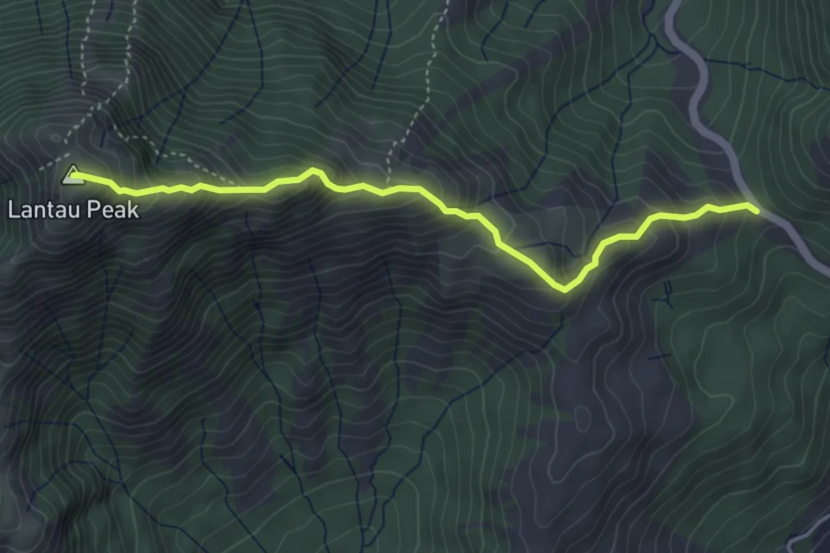
鳳凰徑第3段 Lantau Trail Section 3
5.5 km · ↑ 565 m · 2 h 31 min · 6 km away
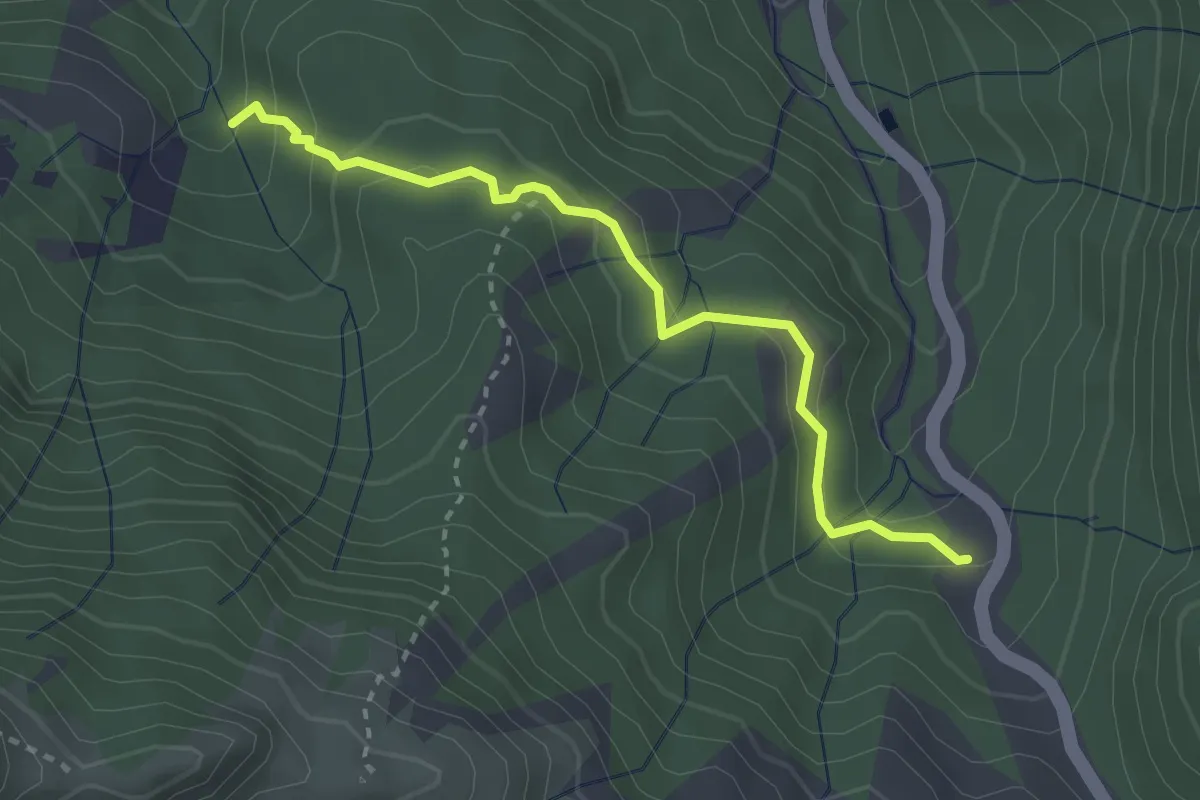
Easy · Trail
地塘仔郊遊徑 Tei Tong Tsai Country Trail
3.8 km · ↑ 183 m · 1 h 17 min · 6 km away
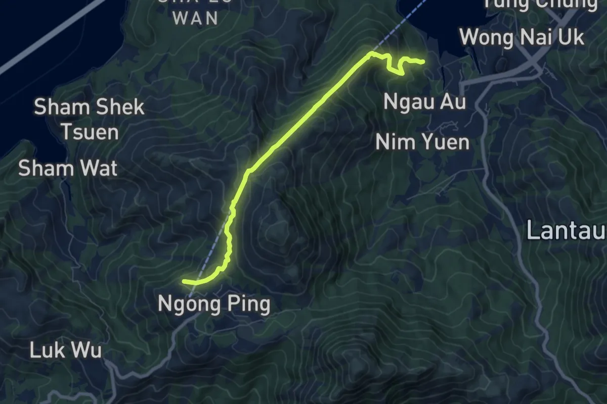
Medium · Summit
昂坪360救援徑 Ngong Ping 360 Rescue Trail
9.4 km · ↑ 766 m · 3 h 52 min · 8 km away
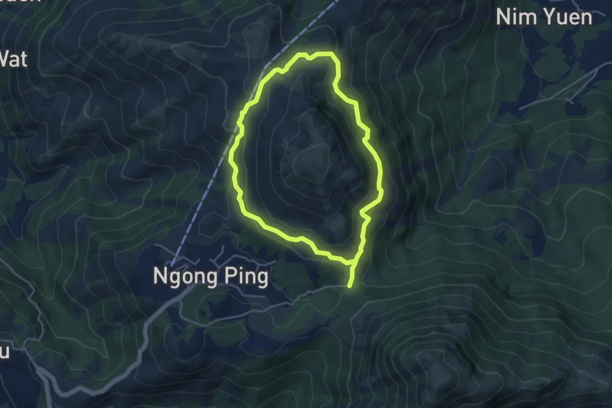
Medium · Trail
彌勒山郊遊徑 Nei Lak Shan Country Trail
9.1 km · ↑ 629 m · 3 h 31 min · 9 km away
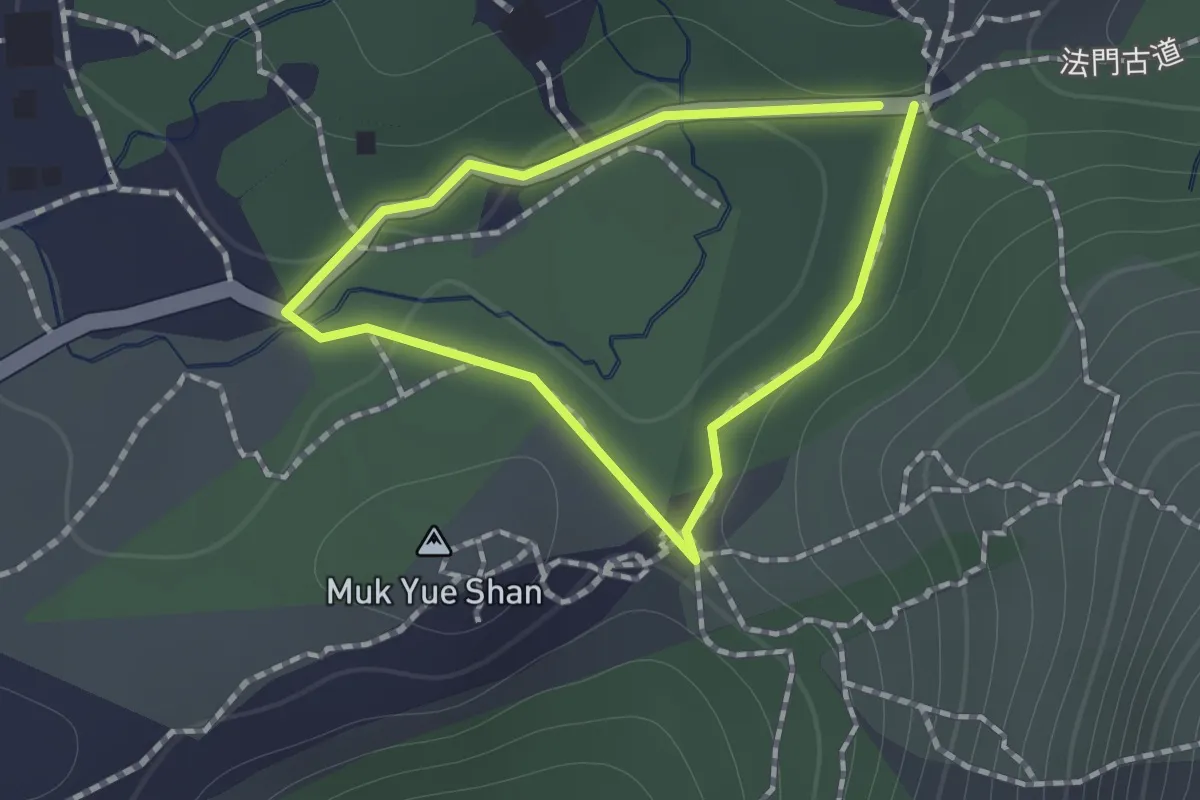
Easy · Trail
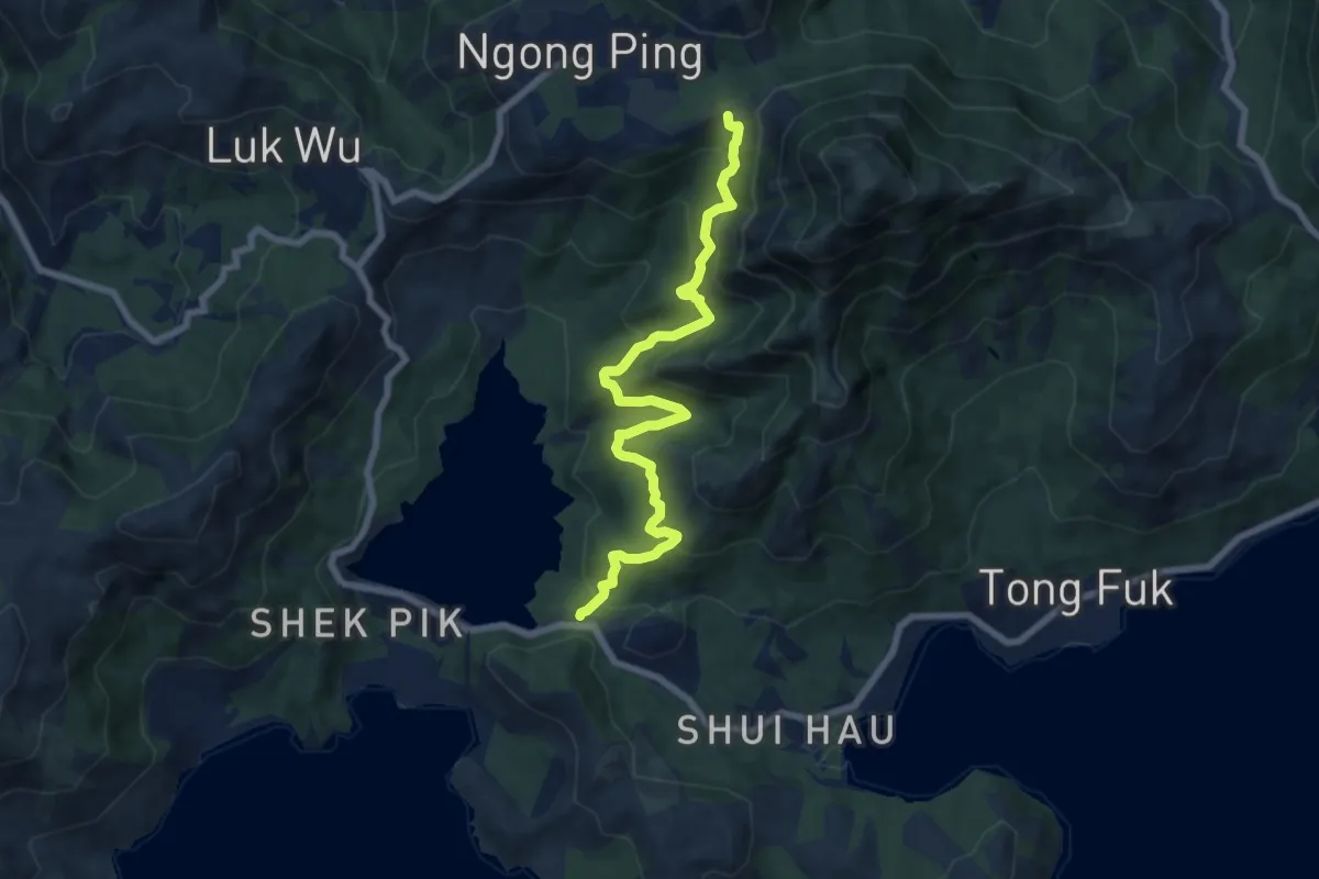
Ngong Ping Fun Trail
1.1 km · ↑ 25 m · 20 min · 9 km away
Medium · Trail
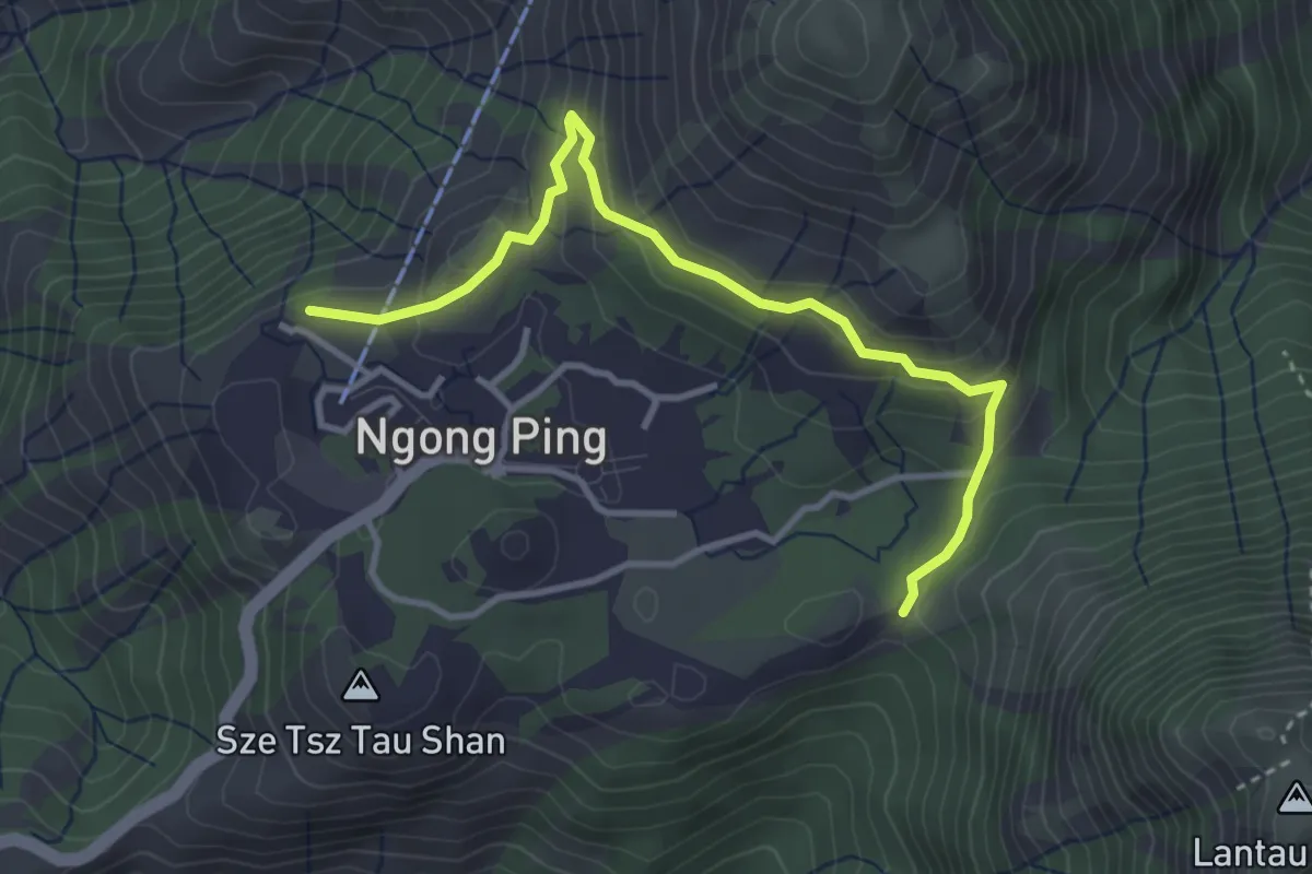
石壁郊遊徑 Shek Pik Country Trail
10.1 km · ↑ 716 m · 3 h 57 min · 9 km away
Easy · Summit
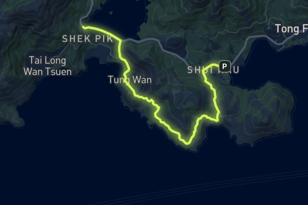
鳳凰徑第4段 Lantau Trail Section 4
4.9 km · ↑ 225 m · 1 h 39 min · 9 km away
Medium · Trail
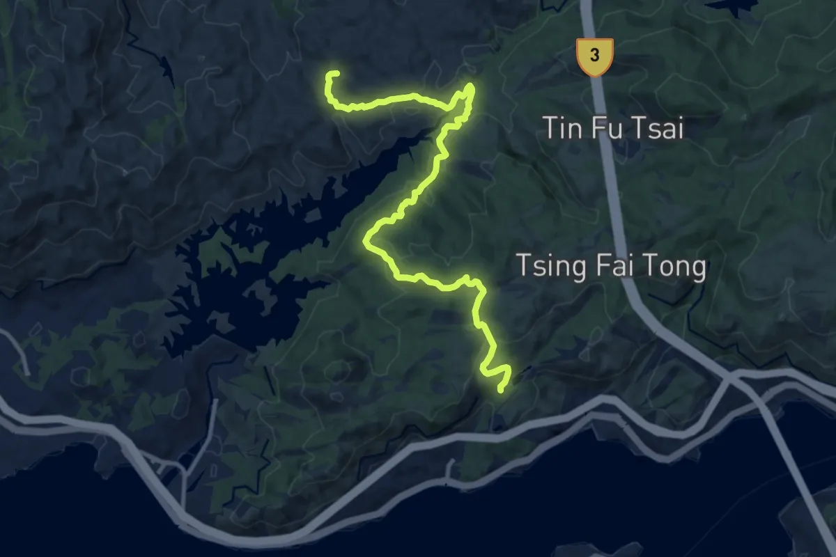
鳳凰徑第9段 Lantau Trail Section 9
12.7 km · ↑ 506 m · 4 h 6 min · 10 km away
Medium · Trail
大欖自然教育徑 Tai Lam Nature Trail
15.1 km · ↑ 515 m · 4 h 41 min · 13 km away
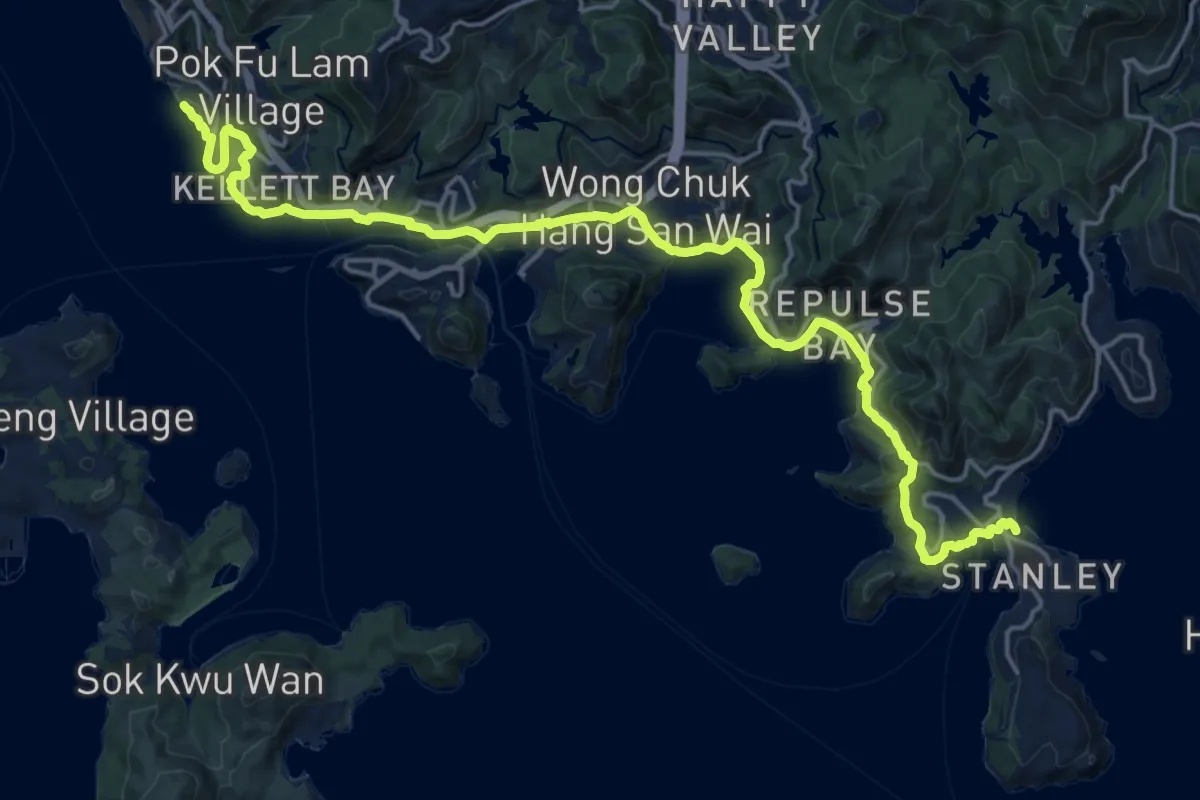
Medium · Trail
南區海濱長廊 Southern District Coastal Trail
14.9 km · ↑ 654 m · 5 h 8 min · 13 km away
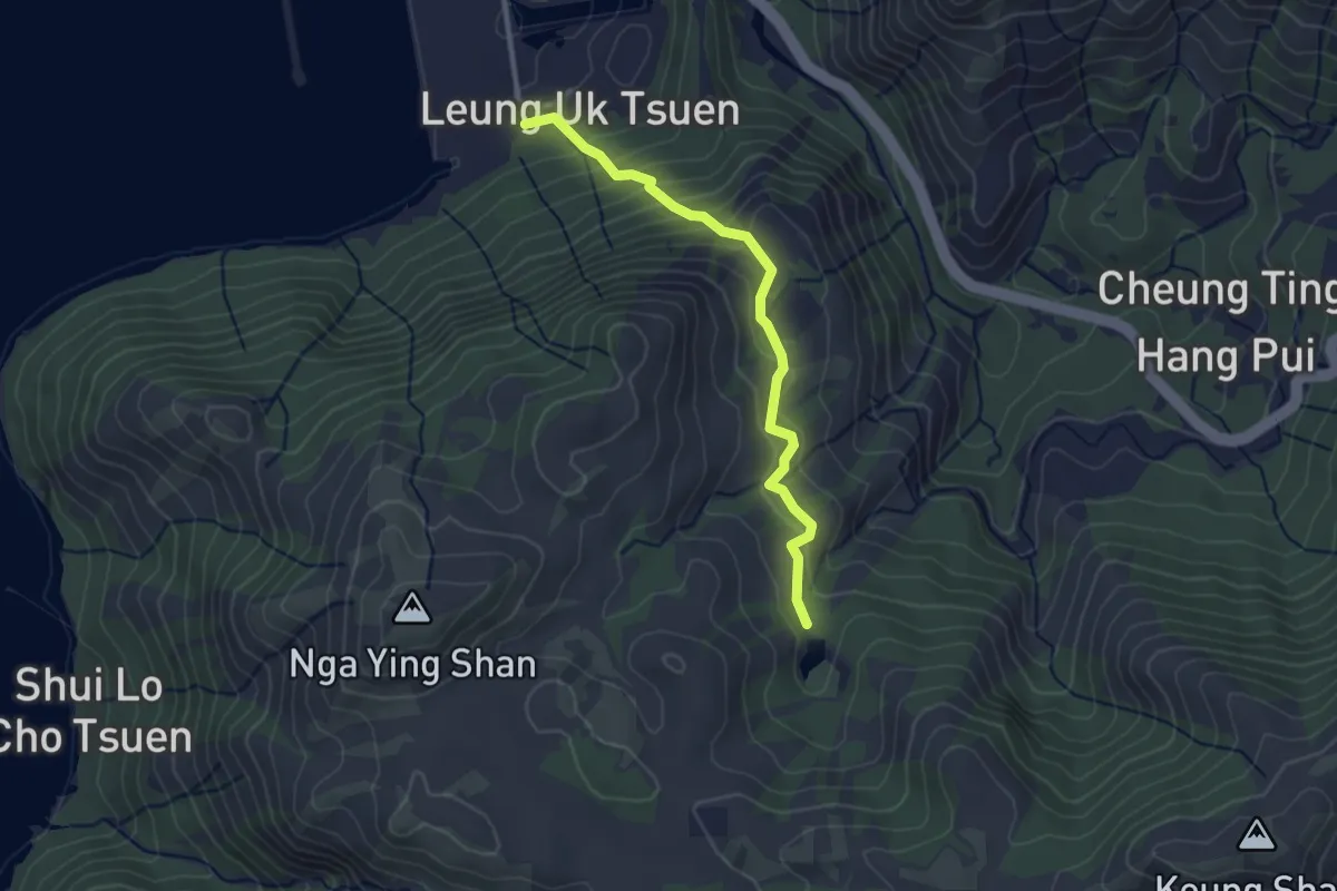
Easy · Trail
鳳凰徑第6段 Lantau Trail Section 6
3.7 km · ↑ 217 m · 1 h 20 min · 14 km away
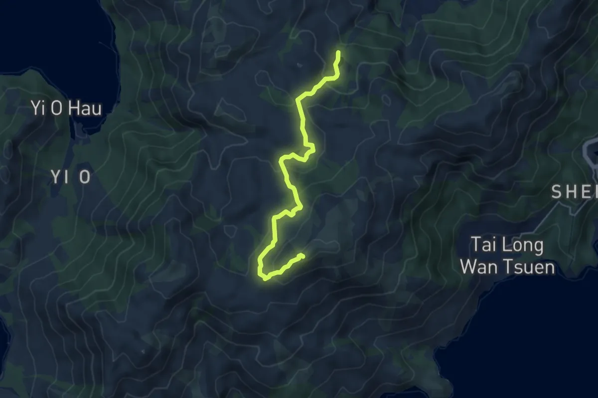
Medium · Summit
鳳凰徑第5段 Lantau Trail Section 5
6.3 km · ↑ 352 m · 2 h 15 min · 14 km away
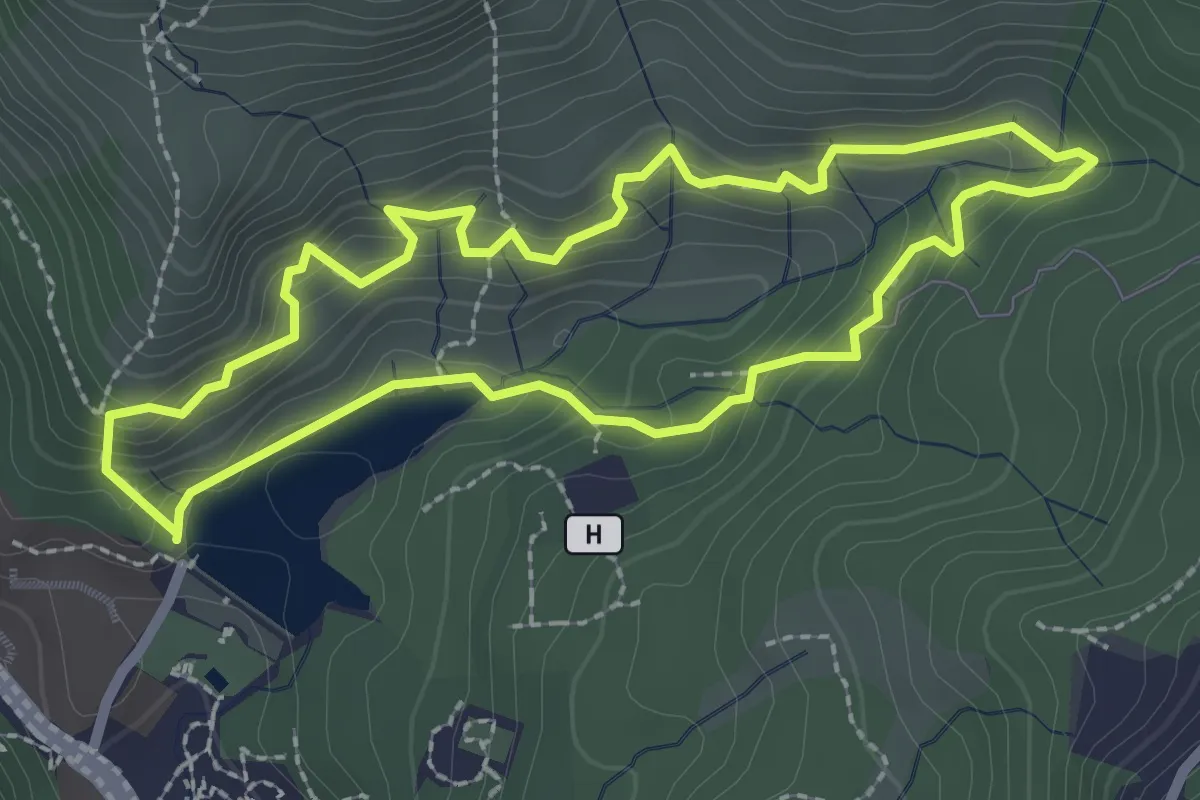
Easy · Trail
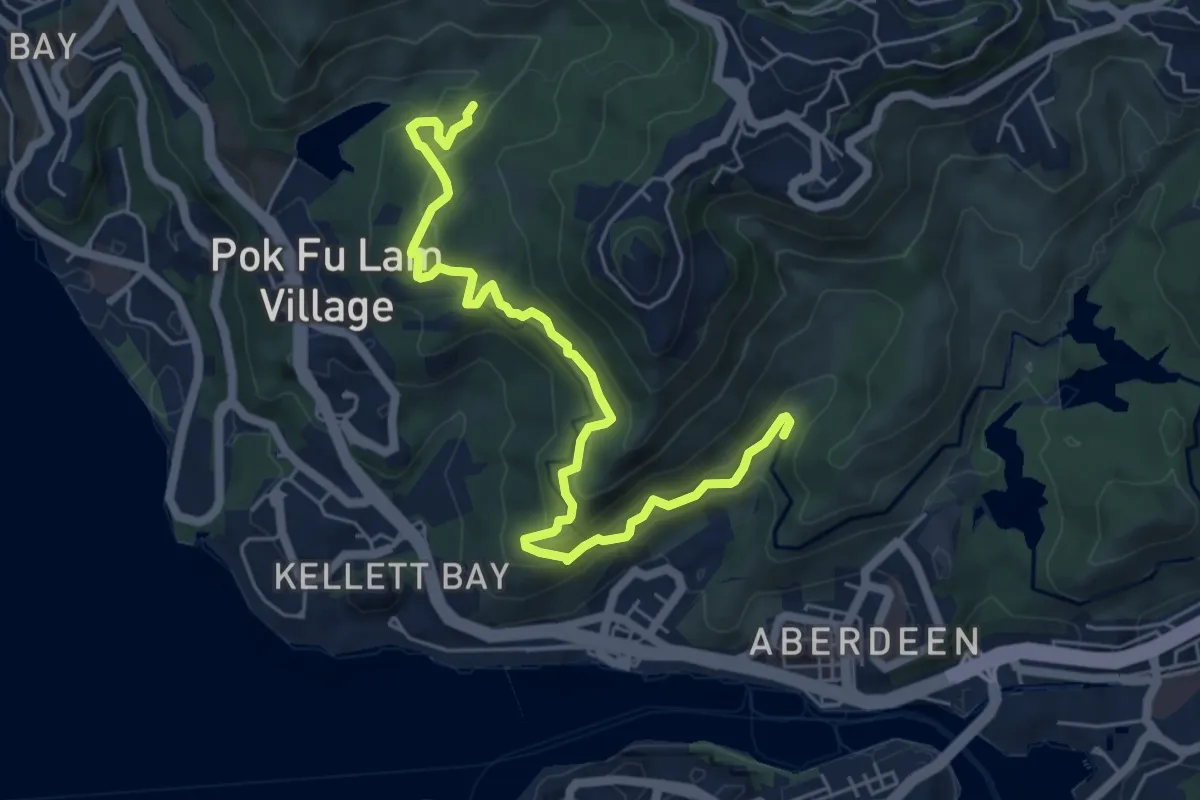
Pok Fu Lam Family Walk
3.1 km · ↑ 209 m · 1 h 14 min · 14 km away
Easy · Summit
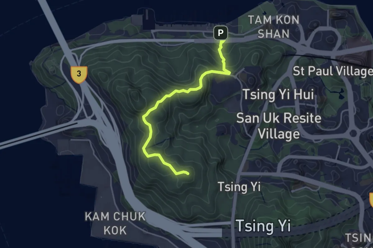
青衣自然徑 Tsing Yi Nature Trails
4.6 km · ↑ 245 m · 1 h 37 min · 14 km away
Medium · Trail
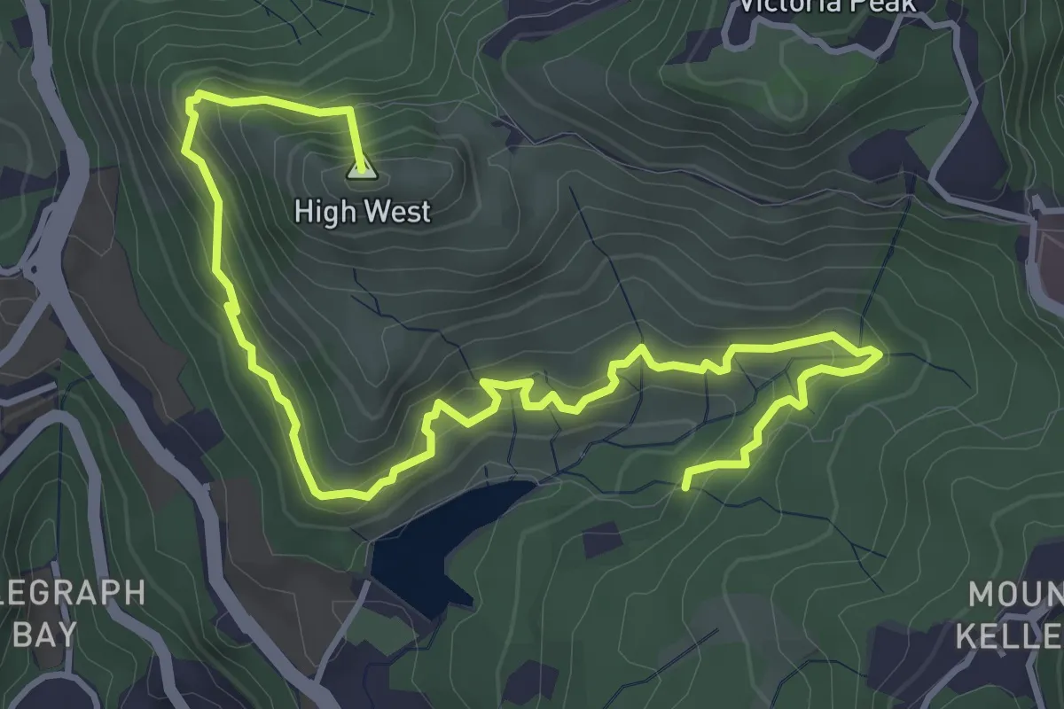
港島徑第2段 Hong Kong Trail Section 2
8.4 km · ↑ 479 m · 3 h 2 min · 15 km away
Medium · Summit
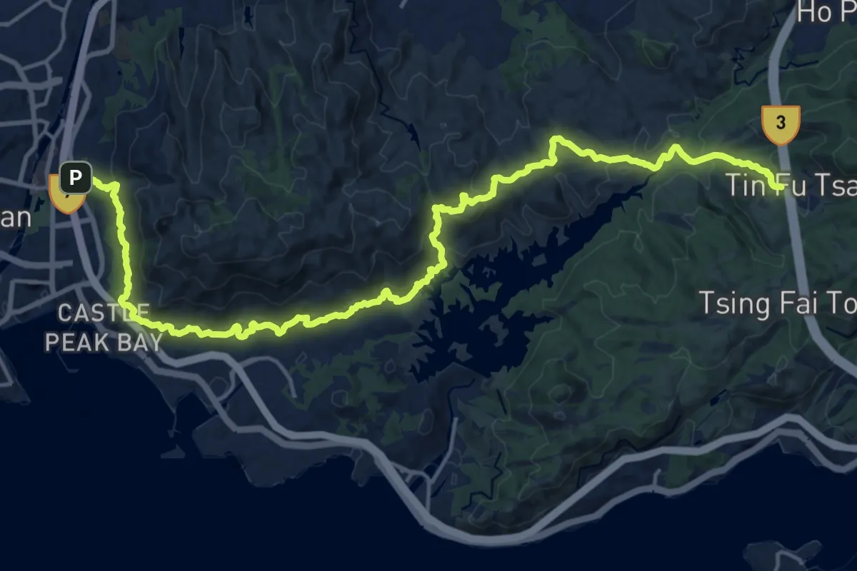
港島徑第1段 Hong Kong Trail Section 1
7.3 km · ↑ 588 m · 2 h 59 min · 15 km away
Medium · Trail
麥理浩徑第10段 MacLehose Trail Section 10
14.5 km · ↑ 676 m · 5 h 1 min · 15 km away
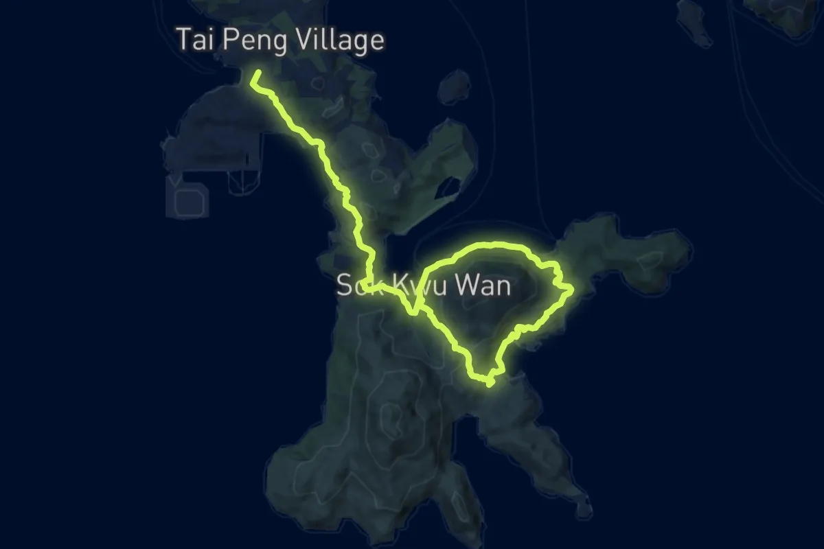
Demanding · Summit
南丫島家樂徑 Lamma Island Family Walk
19.6 km · ↑ 703 m · 6 h 9 min · 15 km away