Trails near 西貢 Sai Kung
49 hikes starting within 15 km, nearest first.
Nearest first, page 1 of 2
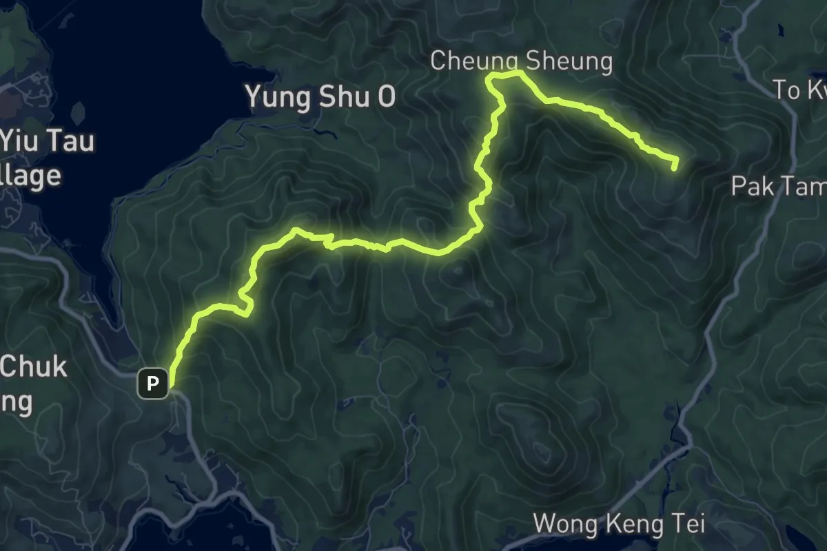
Demanding · Summit
麥理浩徑第3段 MacLehose Trail Section 3
15.7 km · ↑ 1023 m · 5 h 56 min · 3 km away
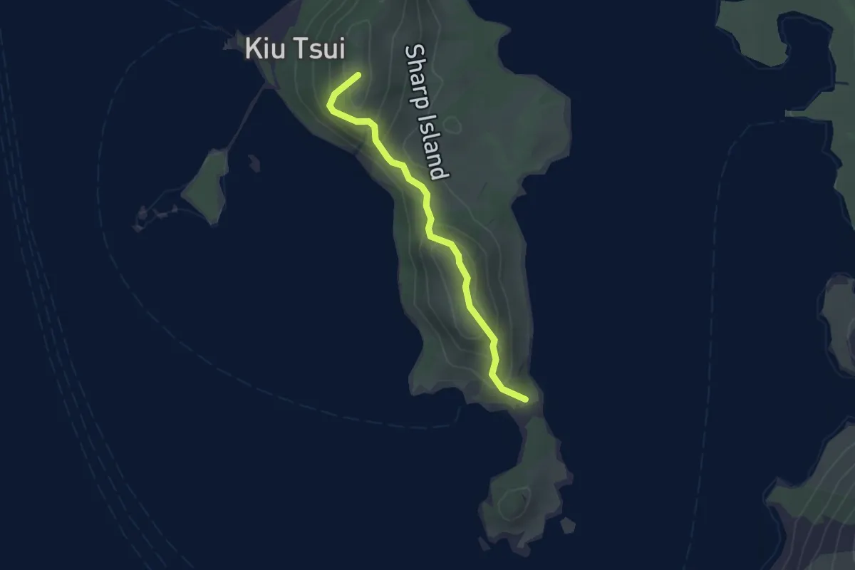
Easy · Summit
橋咀郊遊徑 Sharp Island Country Trail
2.7 km · ↑ 190 m · 1 h 4 min · 4 km away
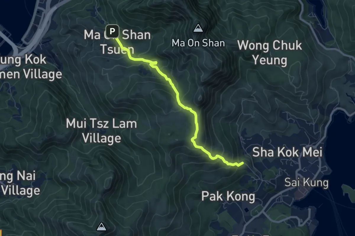
Medium · Trail
馬鞍山郊遊徑 Ma On Shan Country Trail
9.0 km · ↑ 524 m · 3 h 16 min · 5 km away
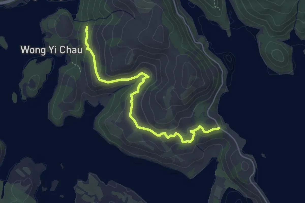
Easy · Trail
上窰郊遊徑 Sheung Yiu Country Trail
6.1 km · ↑ 154 m · 1 h 46 min · 5 km away
Easy · Trail
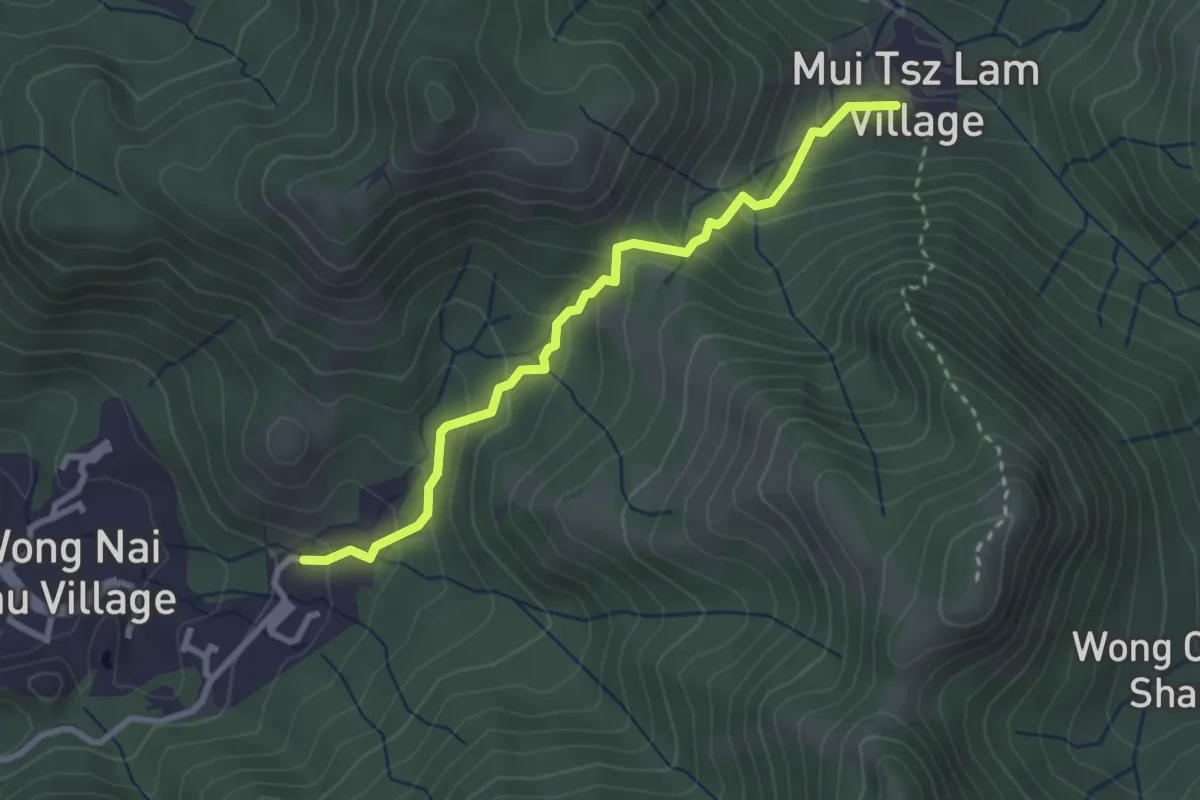
沙田郊野徑 Sha Tin Country Trail
3.8 km · ↑ 270 m · 1 h 29 min · 5 km away
Demanding · Summit
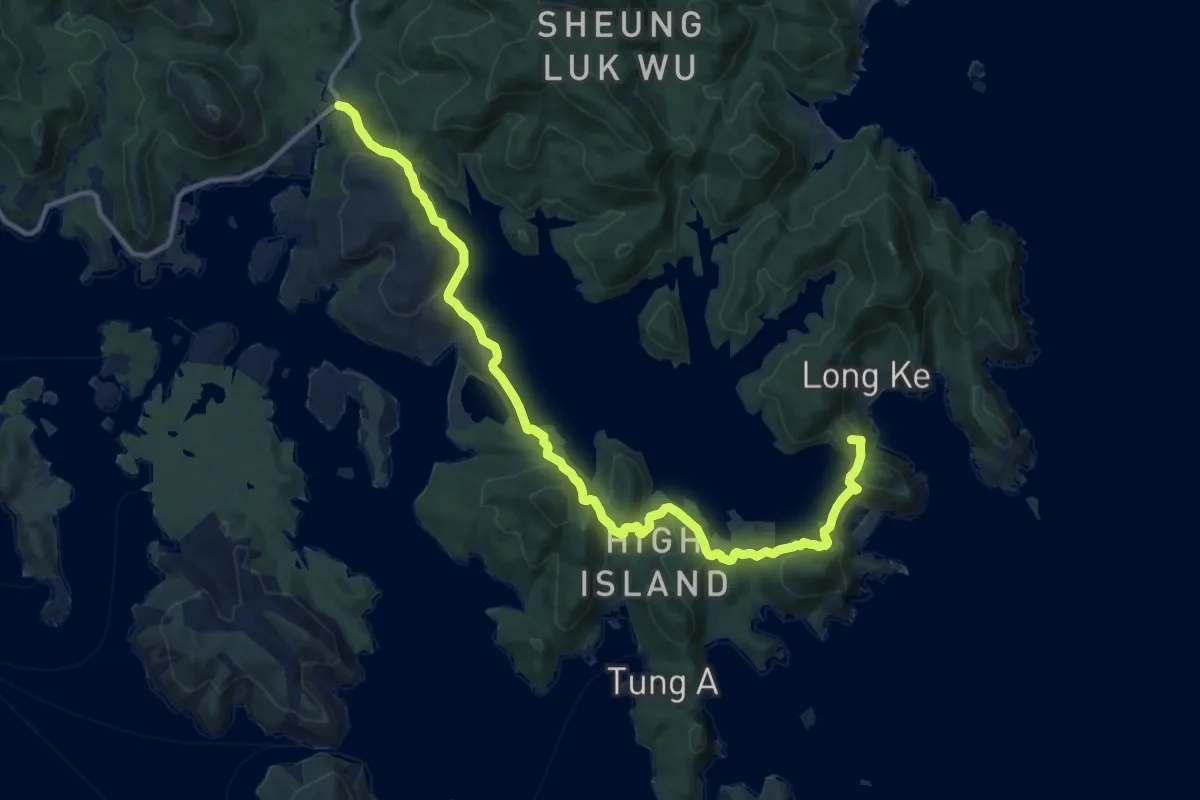
麥理浩徑第1段 MacLehose Trail Section 1
19.7 km · ↑ 665 m · 6 h 6 min · 6 km away
Medium · Summit
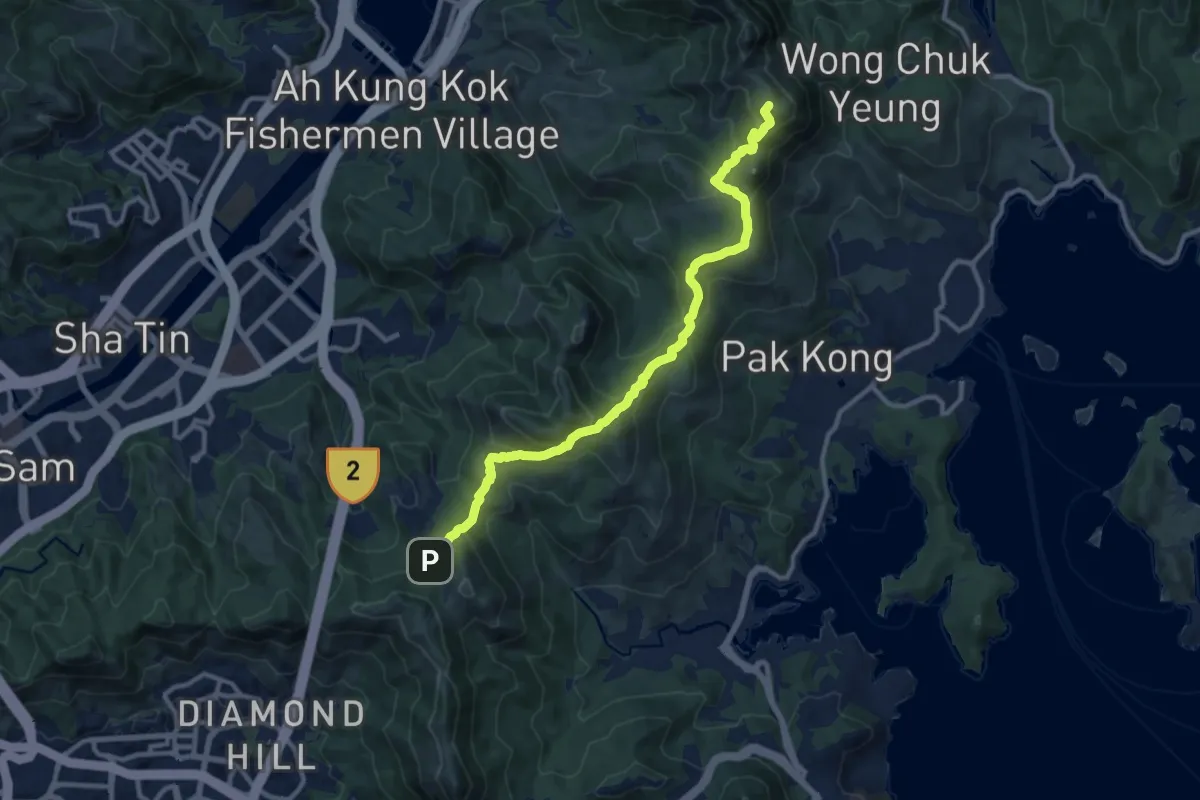
麥理浩徑第4段 MacLehose Trail Section 4
15.0 km · ↑ 729 m · 5 h 7 min · 6 km away
Easy · Trail
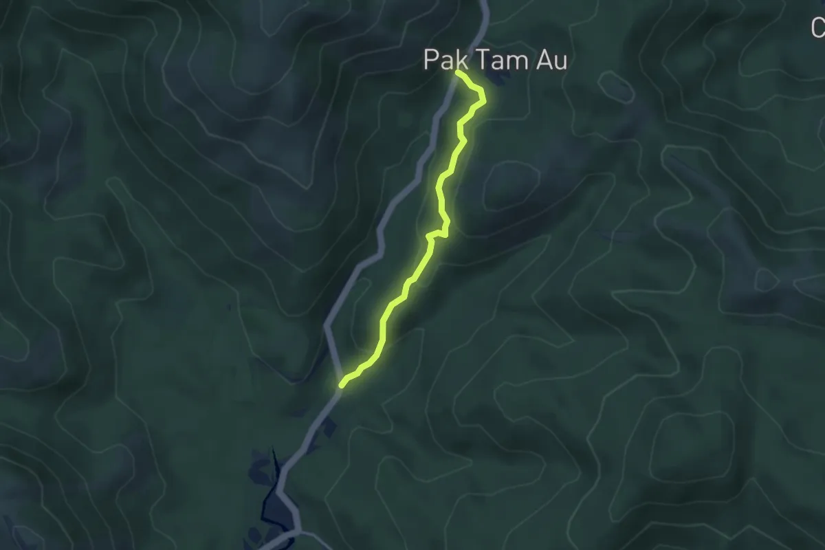
北潭郊遊徑 Pak Tam Country Trail
3.8 km · ↑ 170 m · 1 h 15 min · 6 km away
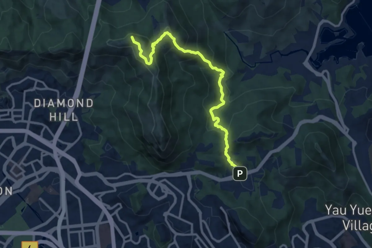
Demanding · Summit
衛奕信徑第4段 Wilson Trail Section 4
11.3 km · ↑ 817 m · 4 h 27 min · 6 km away
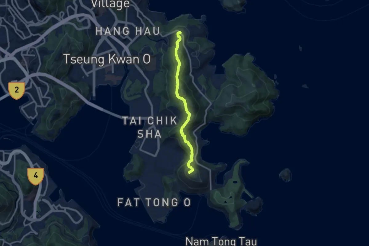
Medium · Summit
釣魚翁郊遊徑 High Junk Peak Country Trail
10.6 km · ↑ 547 m · 3 h 41 min · 7 km away
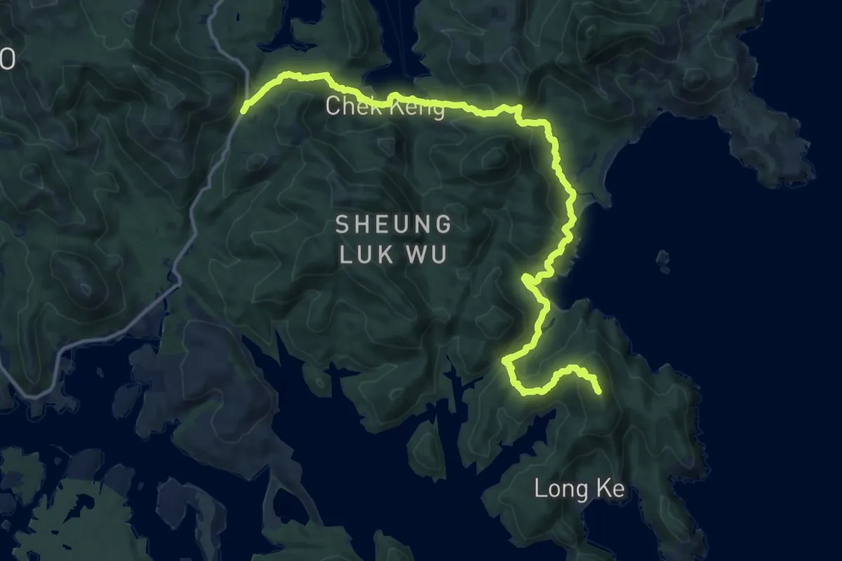
Demanding · Summit
麥理浩徑第2段 MacLehose Trail Section 2
23.1 km · ↑ 1040 m · 7 h 43 min · 7 km away
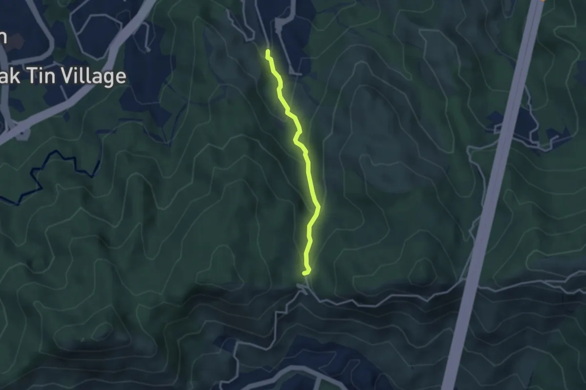
Easy · Trail
沙田郊野徑 Sha Tin Country Trail
3.2 km · ↑ 205 m · 1 h 12 min · 8 km away
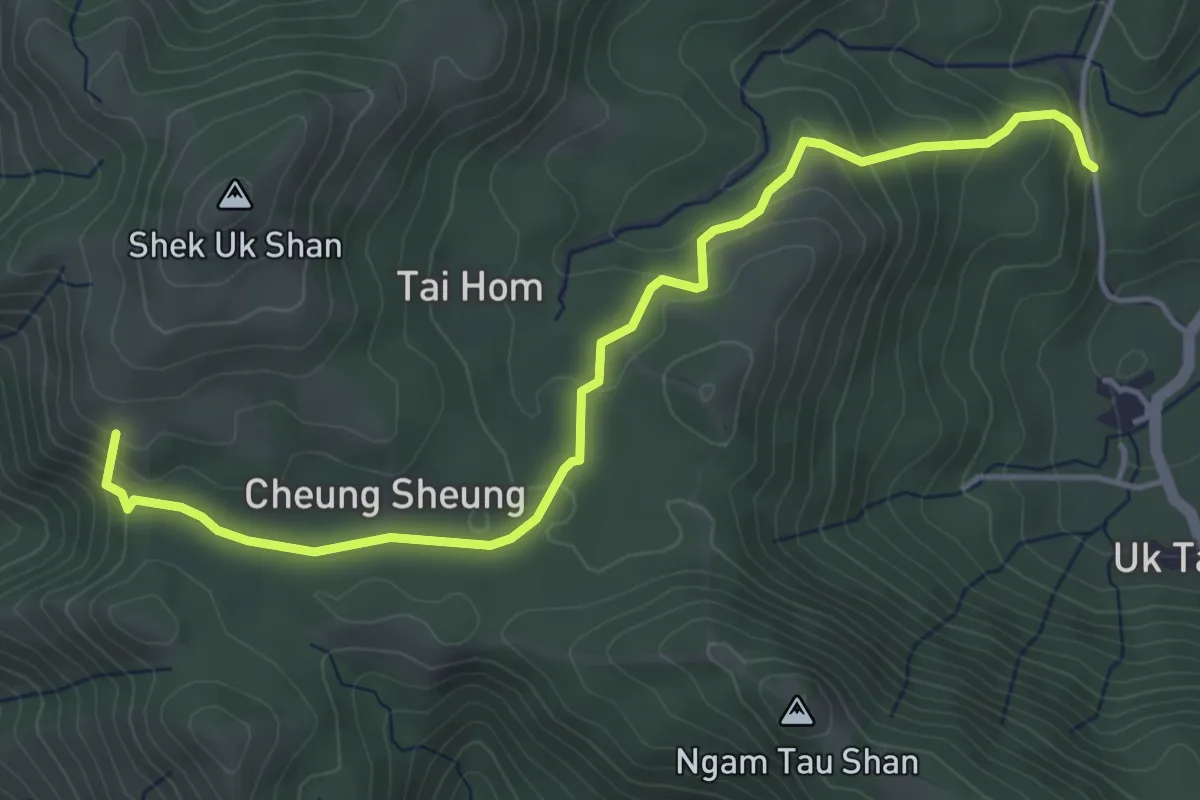
Easy · Summit
嶂上郊遊徑 Cheung Sheung Country Trail
6.6 km · ↑ 320 m · 2 h 15 min · 8 km away
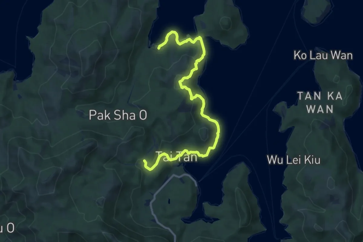
Medium · Trail
大灘郊遊徑 Tai Tan Country Trail
13.5 km · ↑ 445 m · 4 h 9 min · 8 km away
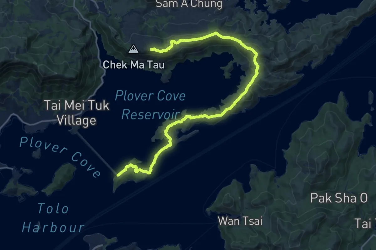
Demanding · Summit
船灣淡水湖郊遊徑 Plover Cove Reservoir Country Trail
25.0 km · ↑ 1114 m · 8 h 19 min · 8 km away
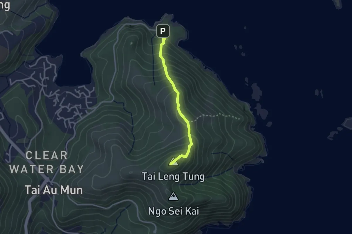
Easy · Summit
龍蝦灣郊遊徑 Lung Ha Wan Country Trail
3.1 km · ↑ 273 m · 1 h 20 min · 9 km away
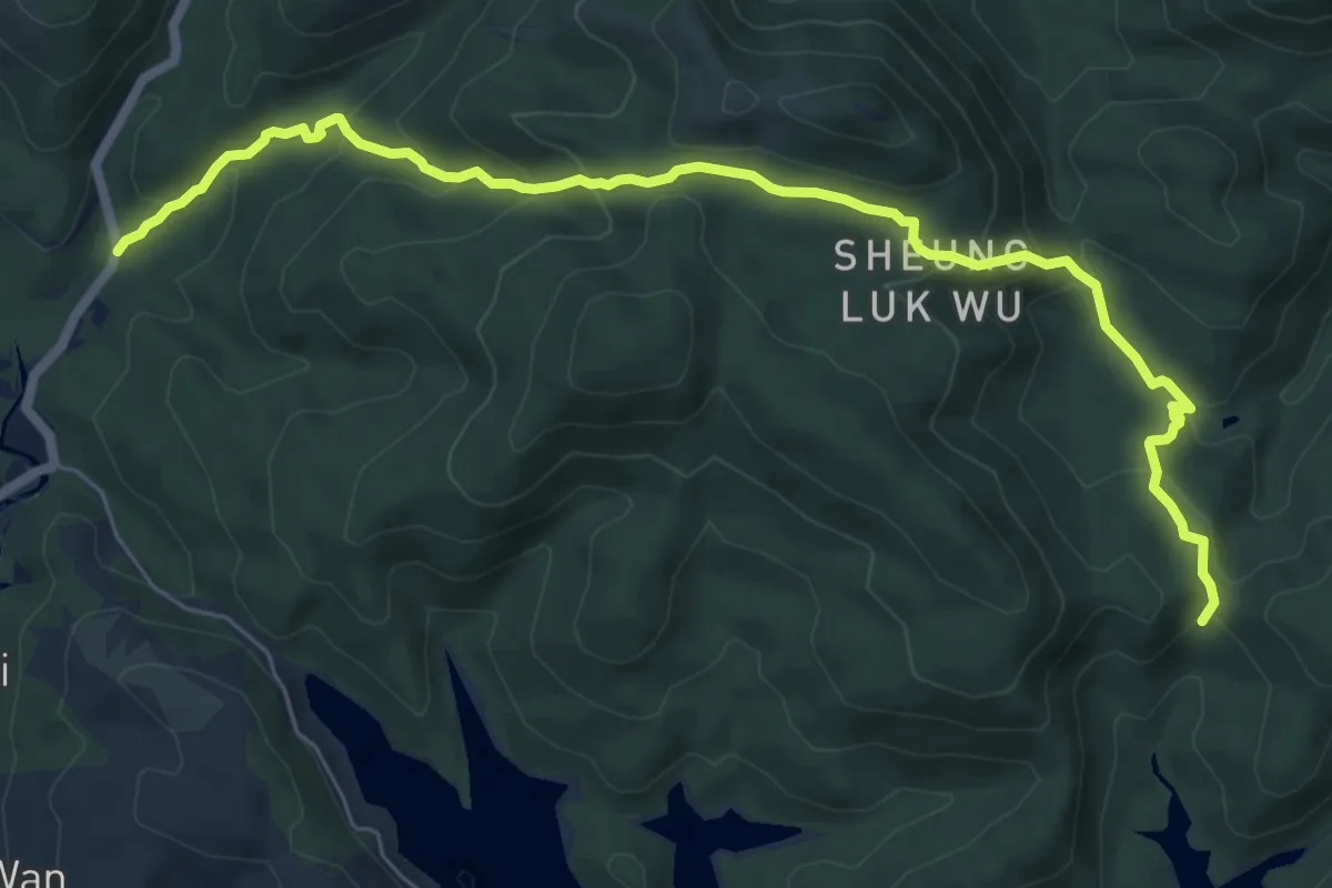
Medium · Trail
鹿湖郊遊徑 Luk Wu Country Trail
10.3 km · ↑ 589 m · 3 h 43 min · 9 km away
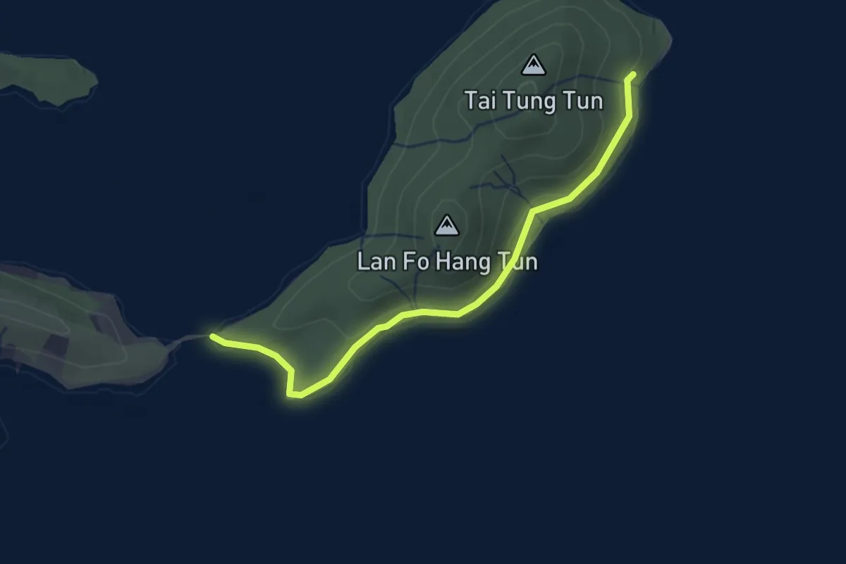
Easy · Trail
馬屎洲自然徑 Ma Shi Chau Nature Trail
3.3 km · ↑ 38 m · 51 min · 9 km away
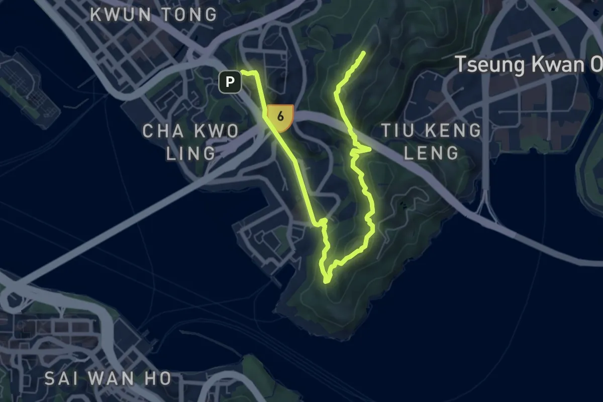
Medium · Summit
衛奕信徑第3段 Wilson Trail Section 3
11.2 km · ↑ 671 m · 4 h 6 min · 9 km away
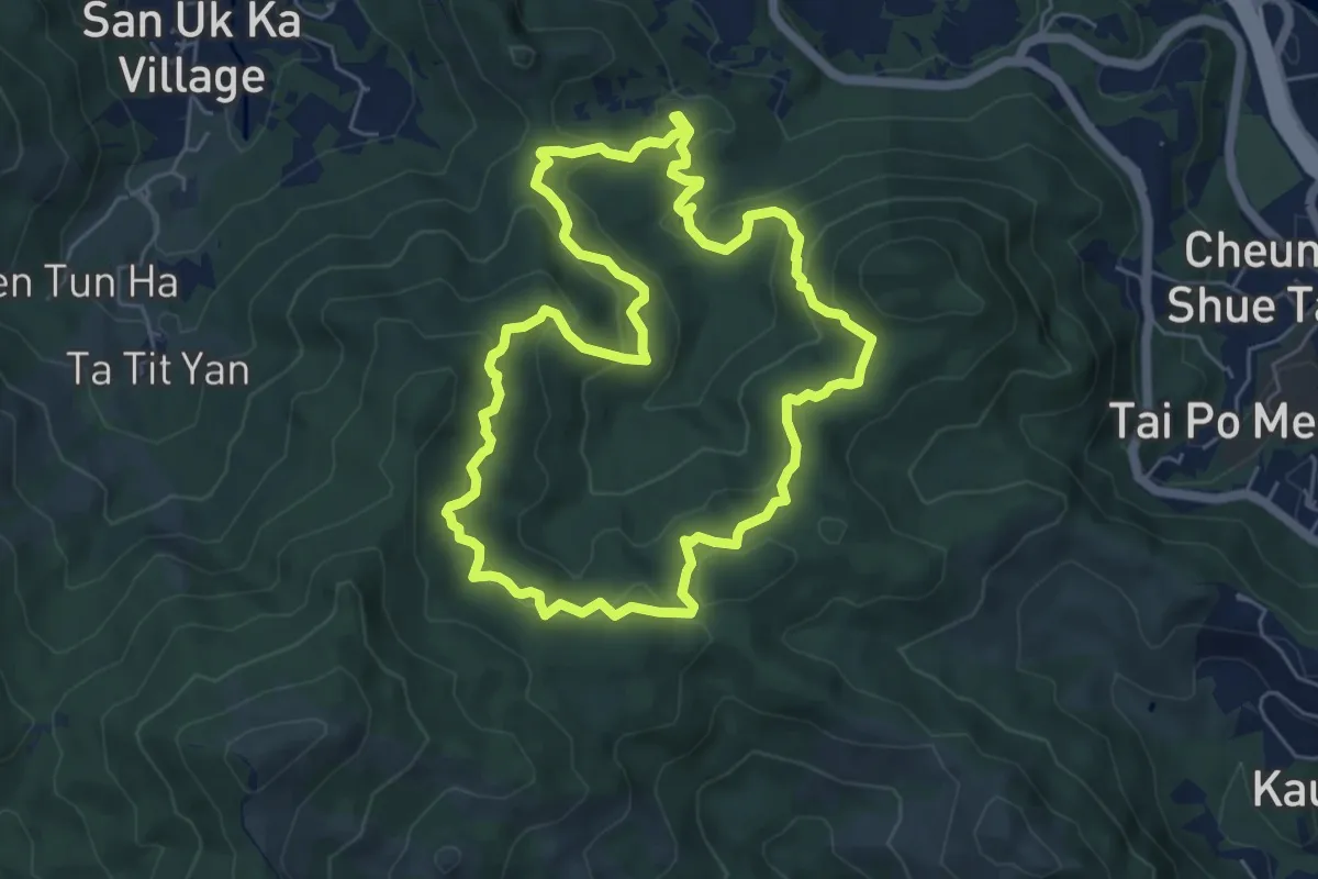
Medium · Summit
啡路 Brown Walk
7.5 km · ↑ 381 m · 2 h 42 min · 10 km away
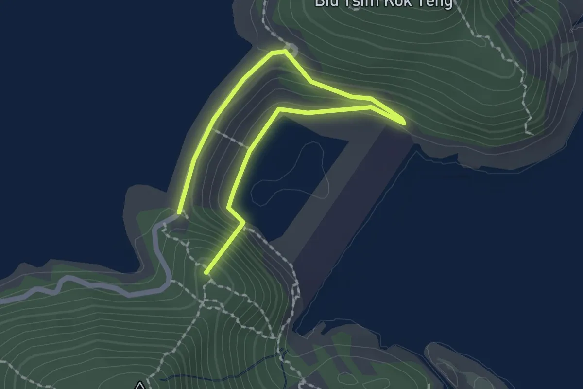
Easy · Summit
High Island Geo Trail
3.1 km · ↑ 180 m · 1 h 8 min · 10 km away
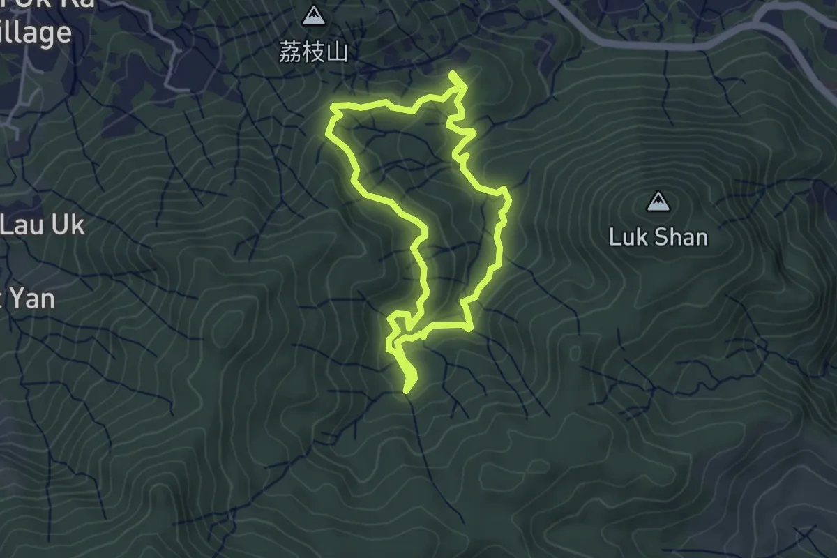
Easy · Trail
藍路 Blue Walk
4.4 km · ↑ 185 m · 1 h 29 min · 11 km away
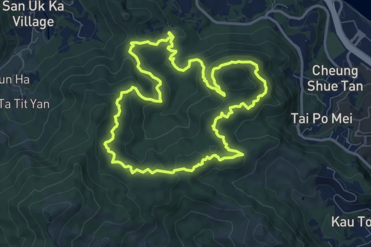
Medium · Summit
黃路 Yellow Walk
10.1 km · ↑ 496 m · 3 h 36 min · 11 km away
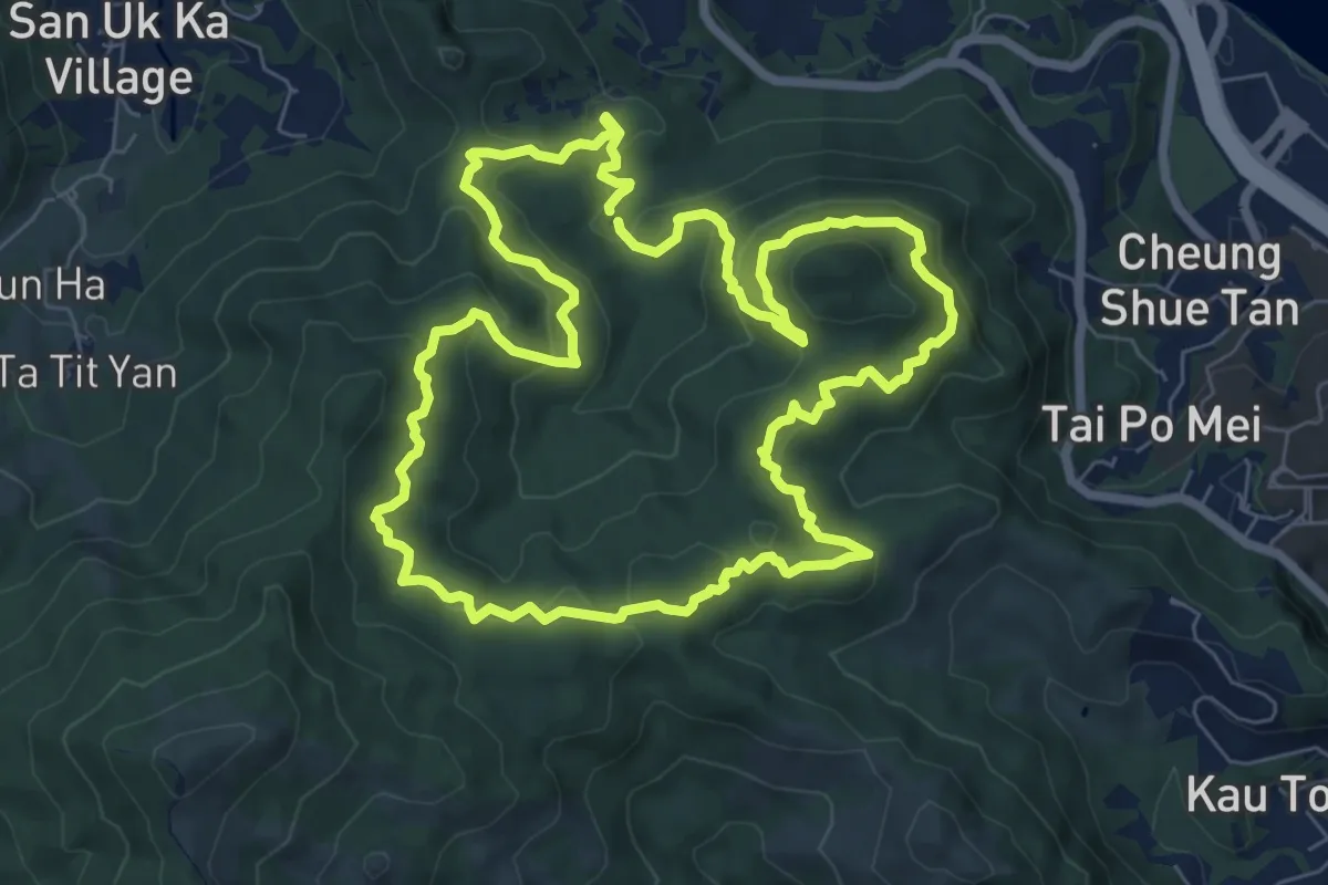
Medium · Summit
Tai Pau Kau Forest Walk
10.0 km · ↑ 501 m · 3 h 35 min · 11 km away
Easy · Summit
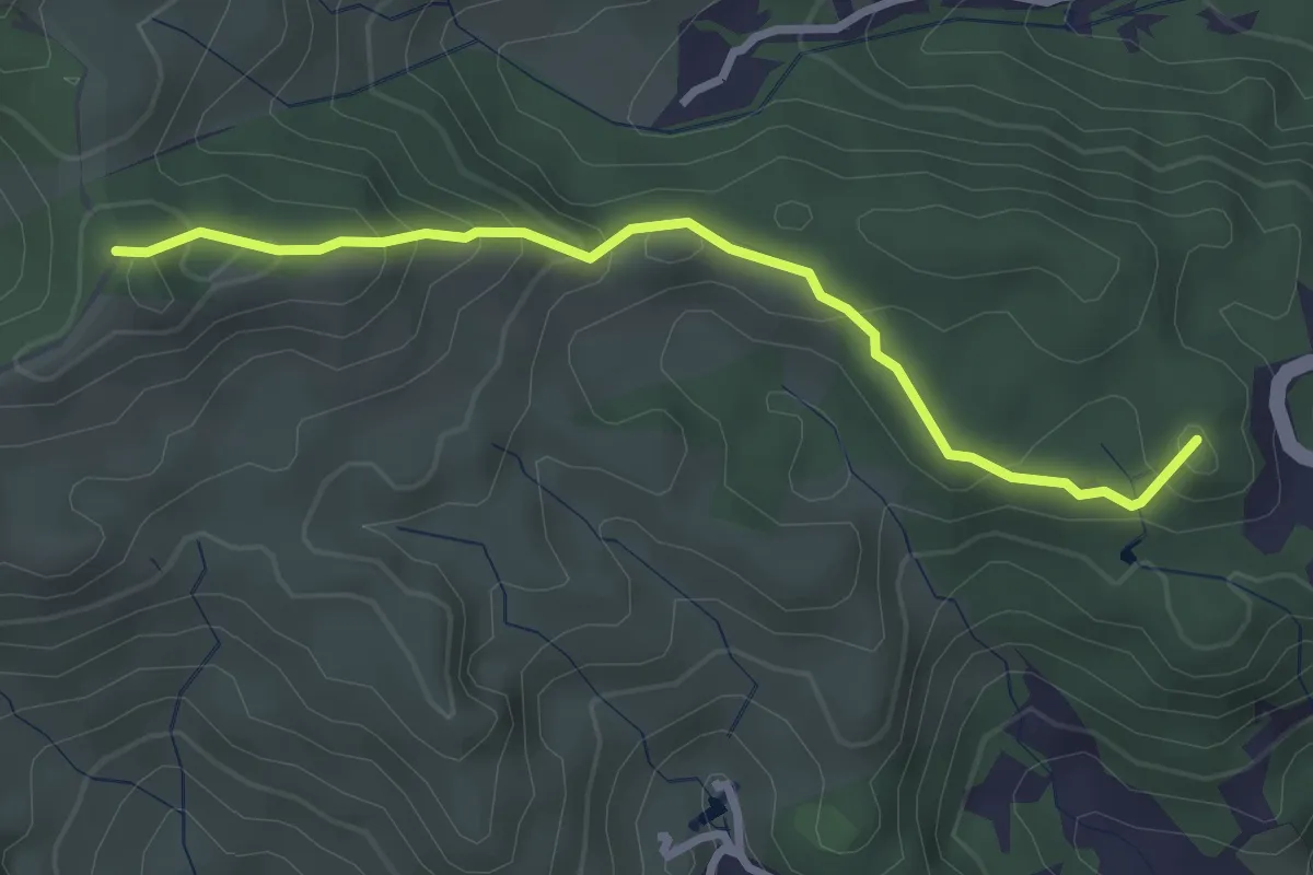
沙田郊野徑 Sha Tin Country Trail
3.8 km · ↑ 259 m · 1 h 28 min · 11 km away
Medium · Summit
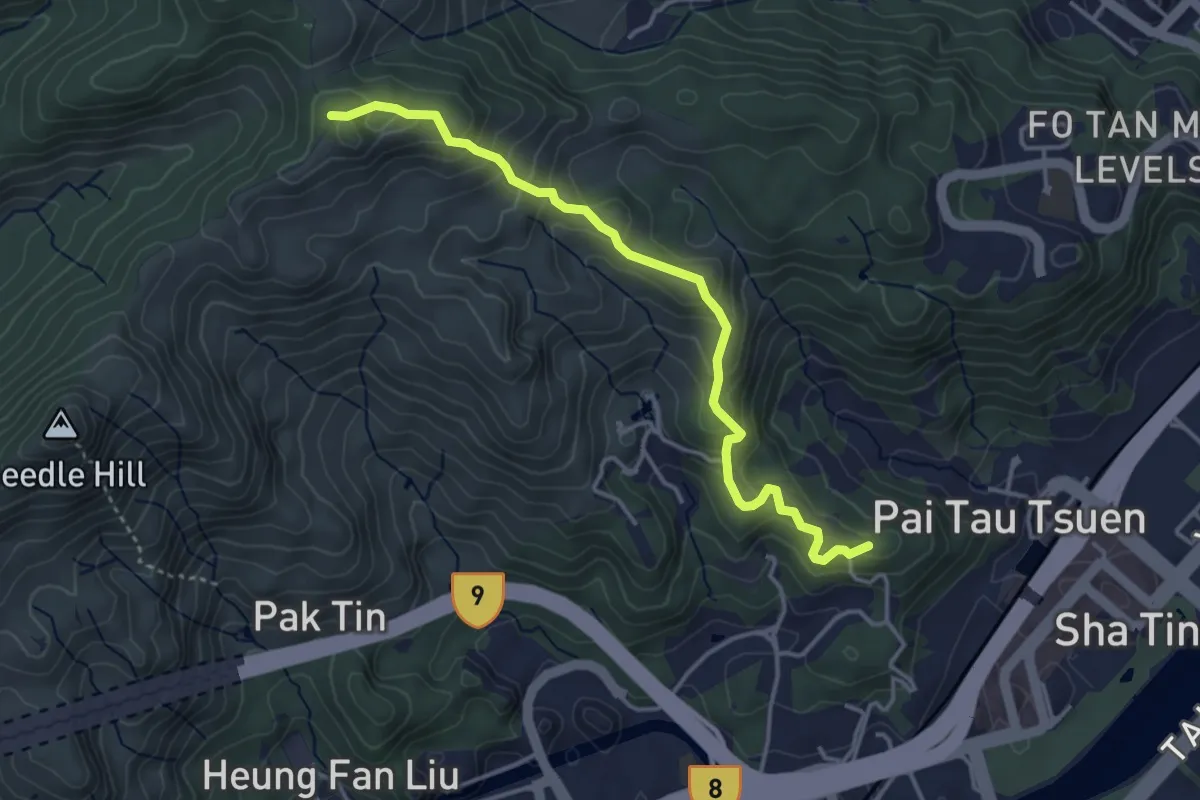
沙田郊野徑 Sha Tin Country Trail
5.2 km · ↑ 343 m · 1 h 58 min · 11 km away
Easy · Trail
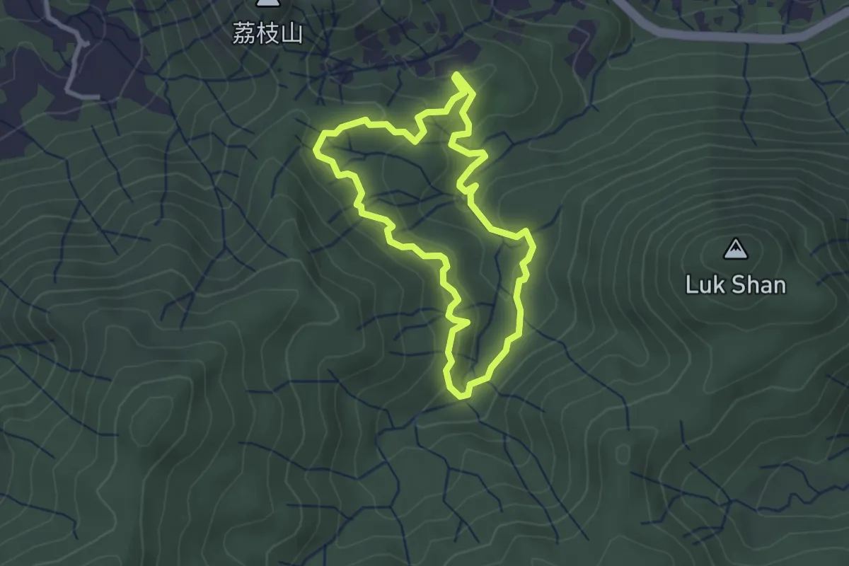
紅路 Red Walk
3.3 km · ↑ 142 m · 1 h 7 min · 11 km away
Demanding · Trail
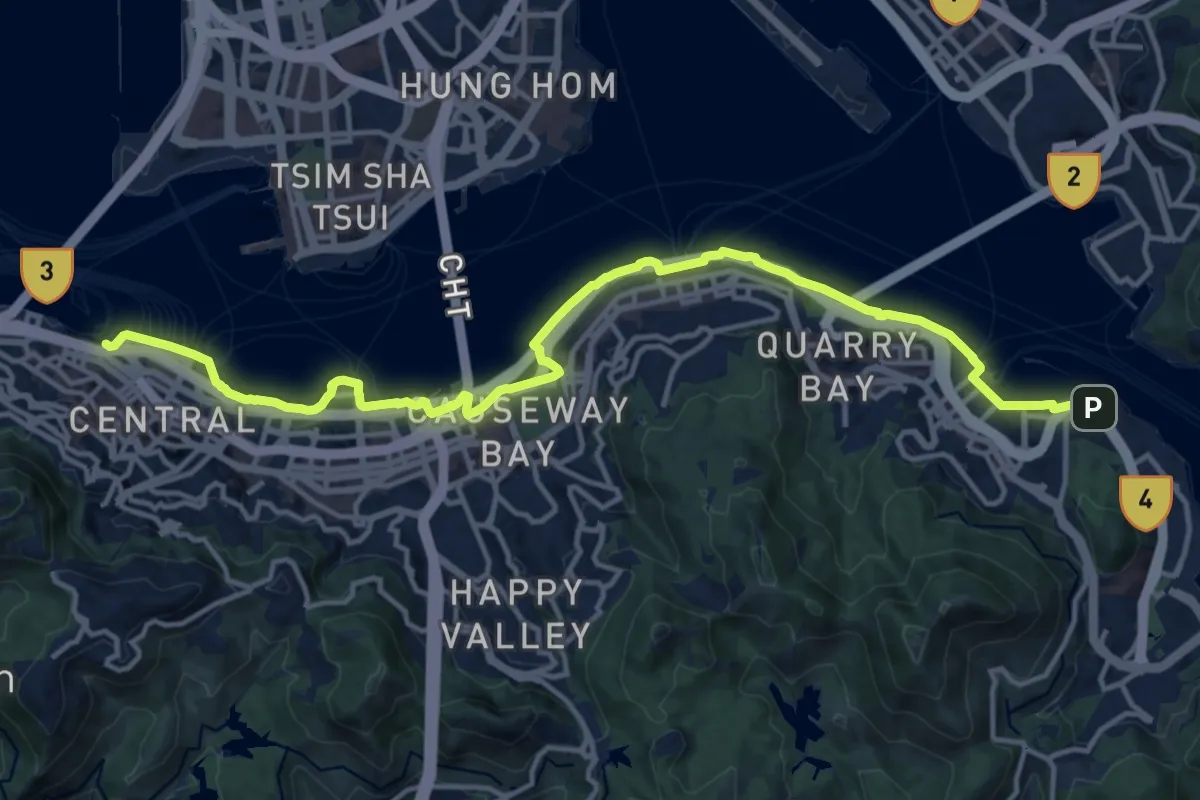
維港徑 Harbour Walk
21.6 km · ↑ 470 m · 6 h 7 min · 12 km away
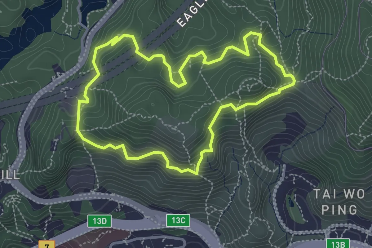
Easy · Trail
鷹巢山自然教育徑 Eagle's Nest Nature Trail
3.6 km · ↑ 268 m · 1 h 29 min · 12 km away
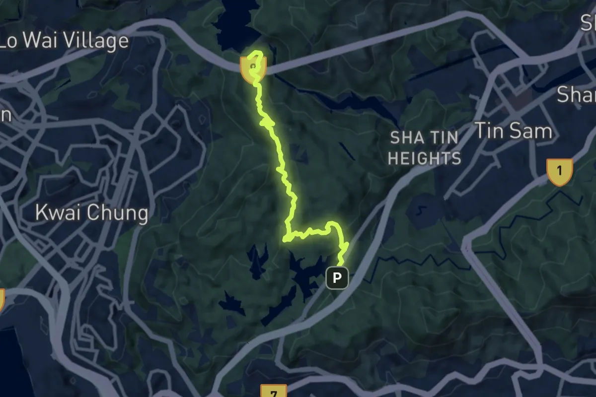
Medium · Summit
衛奕信徑第6段 Wilson Trail Section 6
9.9 km · ↑ 606 m · 3 h 40 min · 12 km away
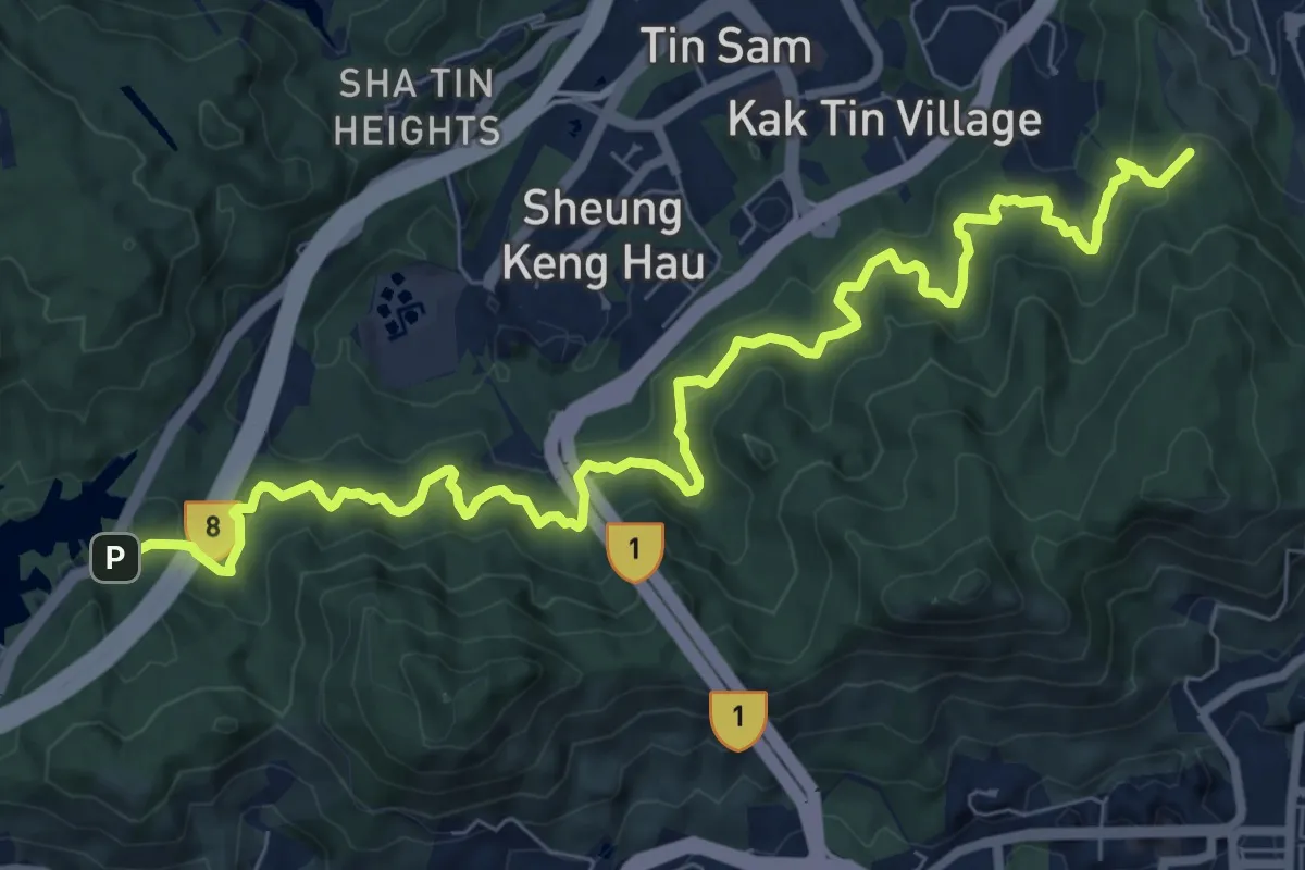
Medium · Summit
衛奕信徑第5段 Wilson Trail Section 5
13.2 km · ↑ 743 m · 4 h 43 min · 12 km away
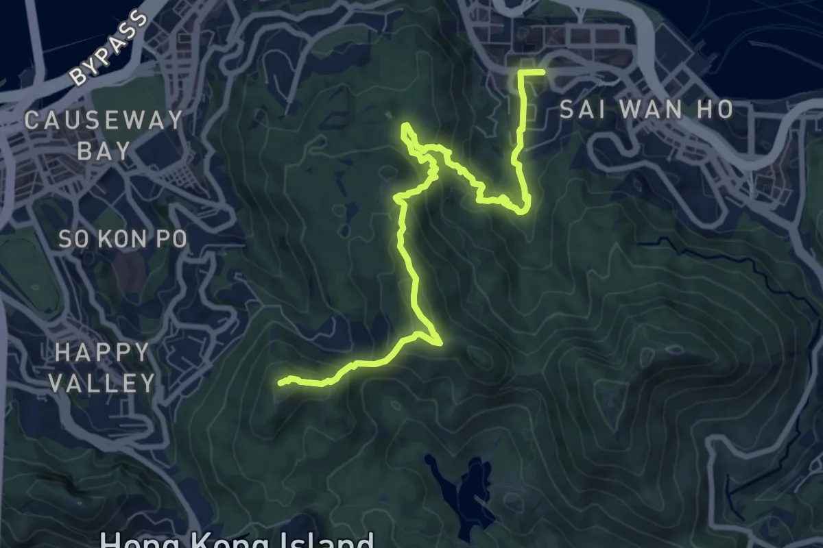
Demanding · Summit
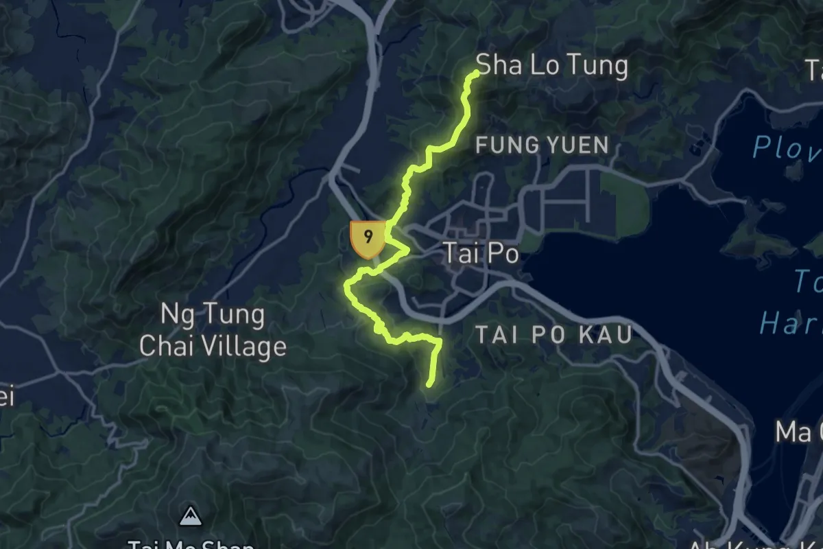
衛奕信徑第2段 Wilson Trail Section 2
11.2 km · ↑ 938 m · 4 h 41 min · 12 km away
Demanding · Summit
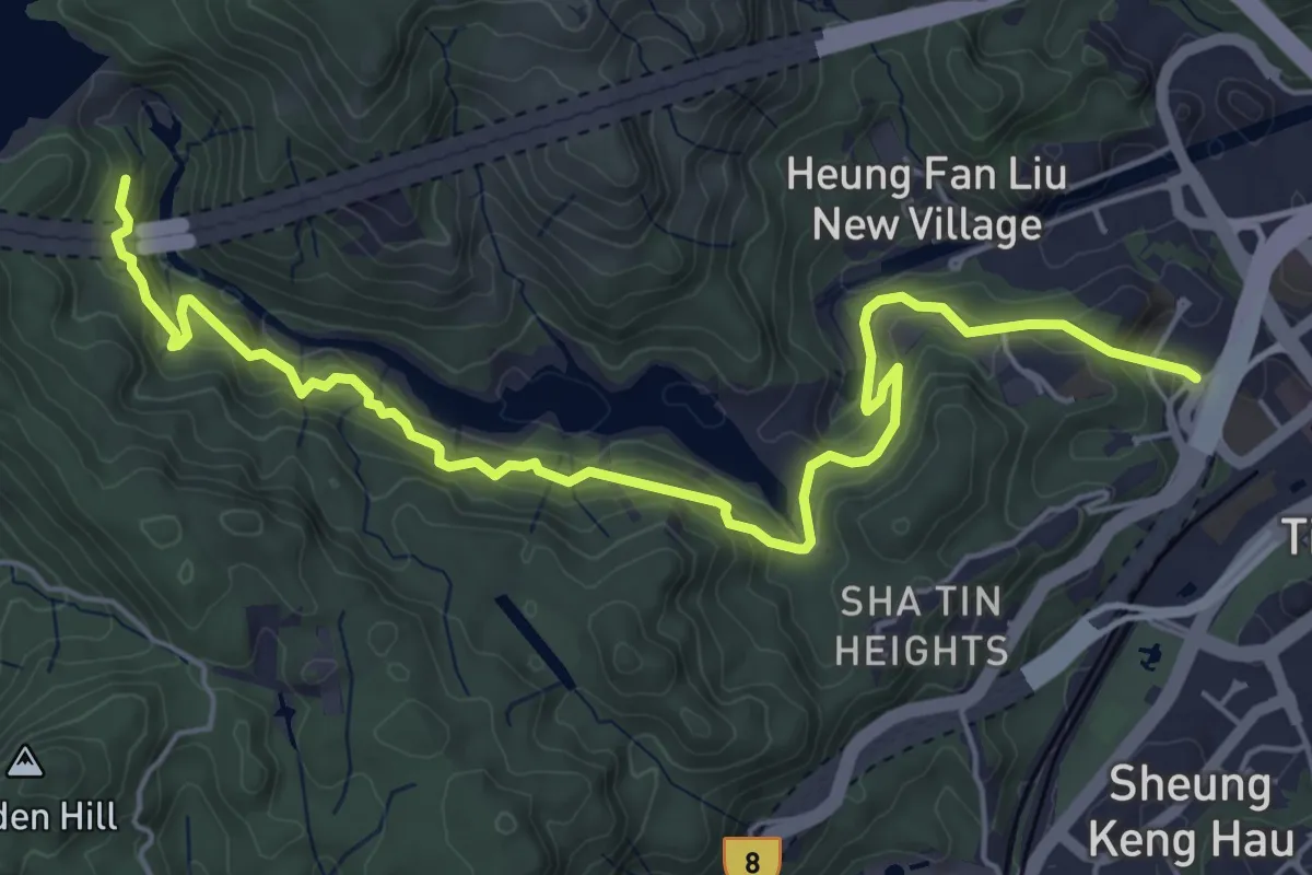
衛奕信徑第8段 Wilson Trail Section 8
17.6 km · ↑ 982 m · 6 h 17 min · 12 km away
Medium · Trail
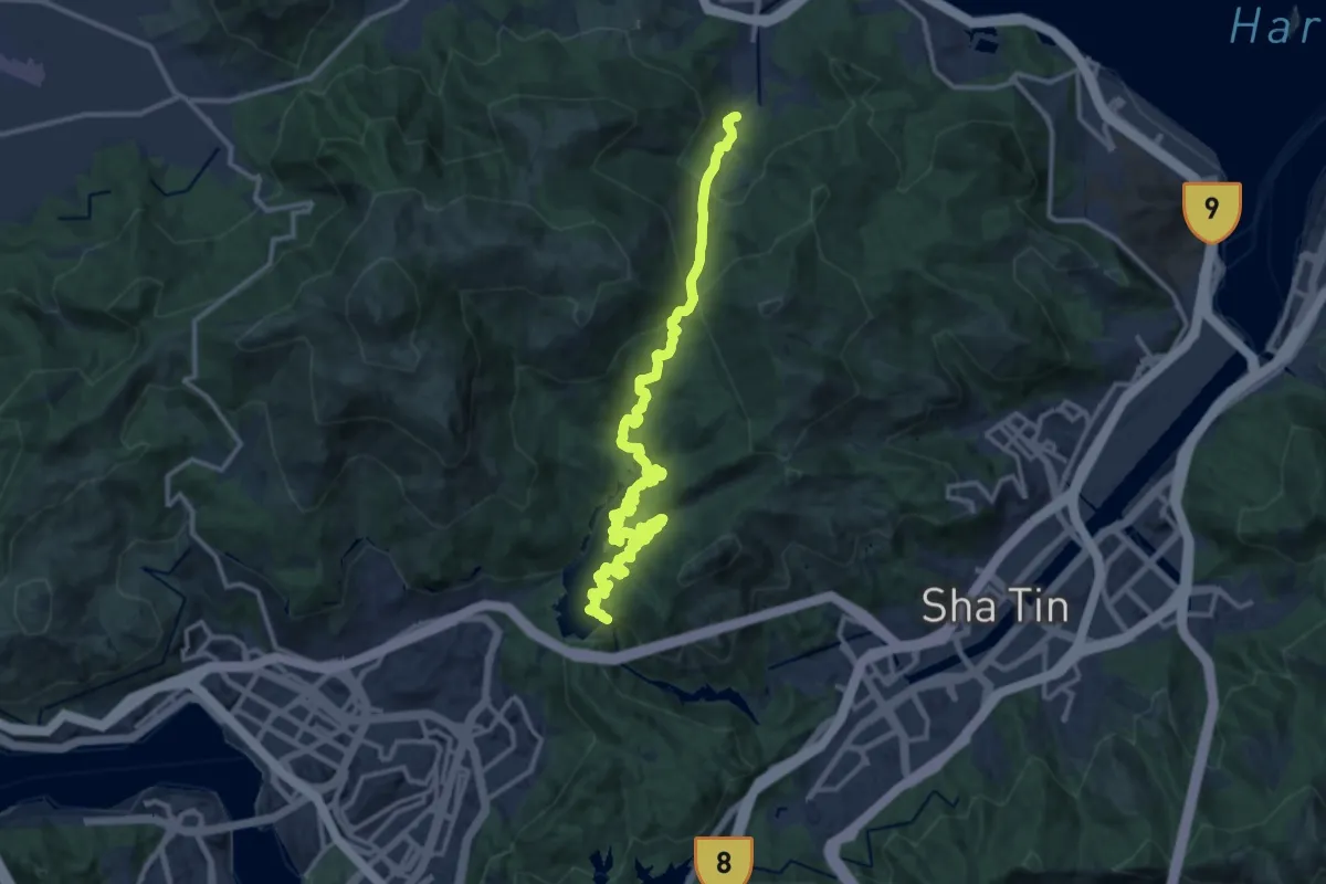
沙田郊野徑 Sha Tin Country Trail
8.6 km · ↑ 735 m · 3 h 38 min · 13 km away
Demanding · Trail
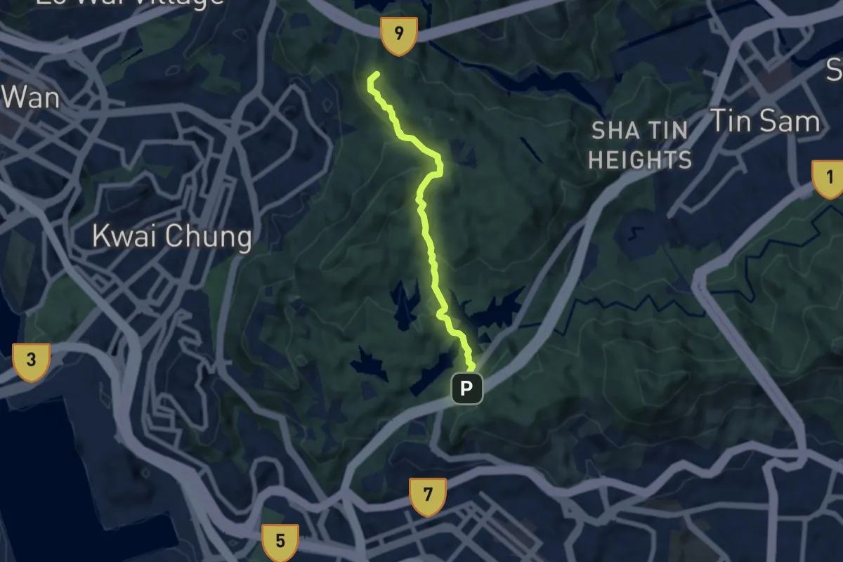
衛奕信徑第7段 Wilson Trail Section 7
20.2 km · ↑ 950 m · 6 h 49 min · 13 km away
Medium · Summit
麥理浩徑第6段 MacLehose Trail Section 6
7.3 km · ↑ 511 m · 2 h 50 min · 13 km away
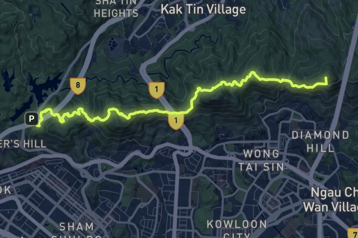
Demanding · Summit
麥理浩徑第5段 MacLehose Trail Section 5
16.2 km · ↑ 1350 m · 6 h 45 min · 13 km away
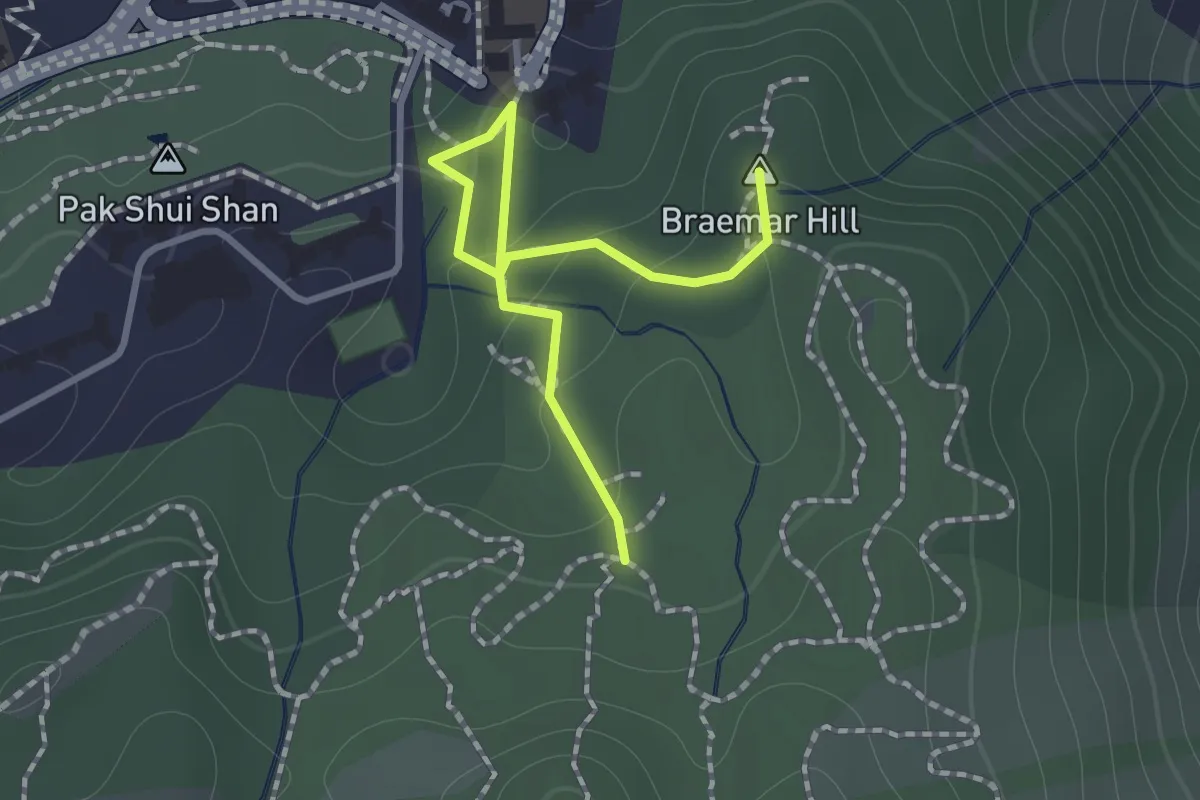
Easy · Summit
寶聯徑 Po Luen Path
1.7 km · ↑ 87 m · 35 min · 13 km away
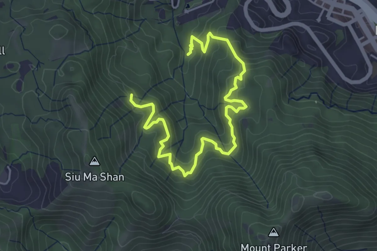
Medium · Trail
康柏郊遊徑 Hong Pak Country Trail
7.2 km · ↑ 510 m · 2 h 49 min · 13 km away
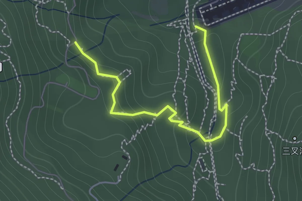
Easy · Trail
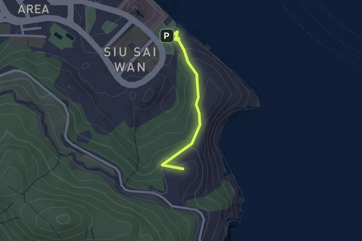
鰂魚涌樹木研習徑 Quarry Bay Tree Walk
2.1 km · ↑ 122 m · 46 min · 13 km away
Easy · Summit
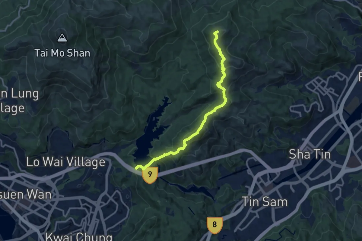
龍躍徑 Leaping Dragon Walk
2.4 km · ↑ 133 m · 52 min · 13 km away
Demanding · Summit
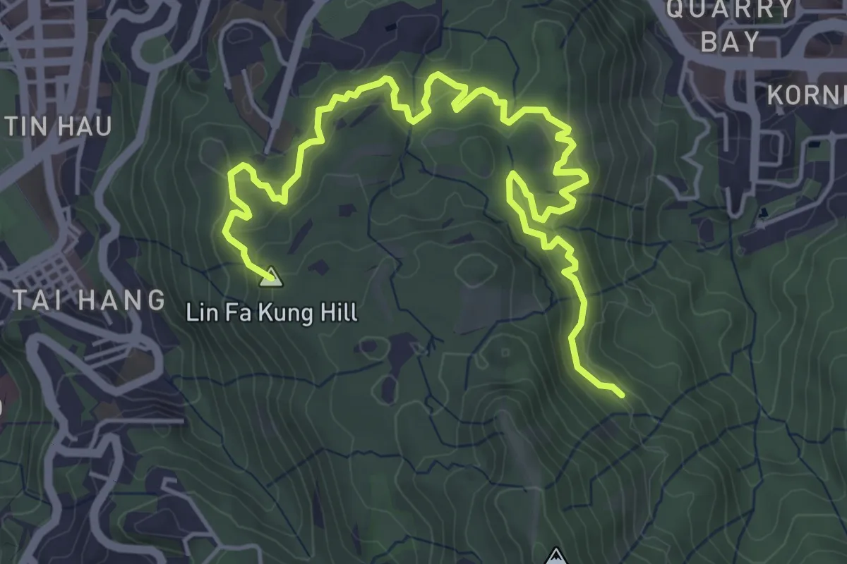
麥理浩徑第7段 MacLehose Trail Section 7
12.0 km · ↑ 862 m · 4 h 42 min · 13 km away
Medium · Summit
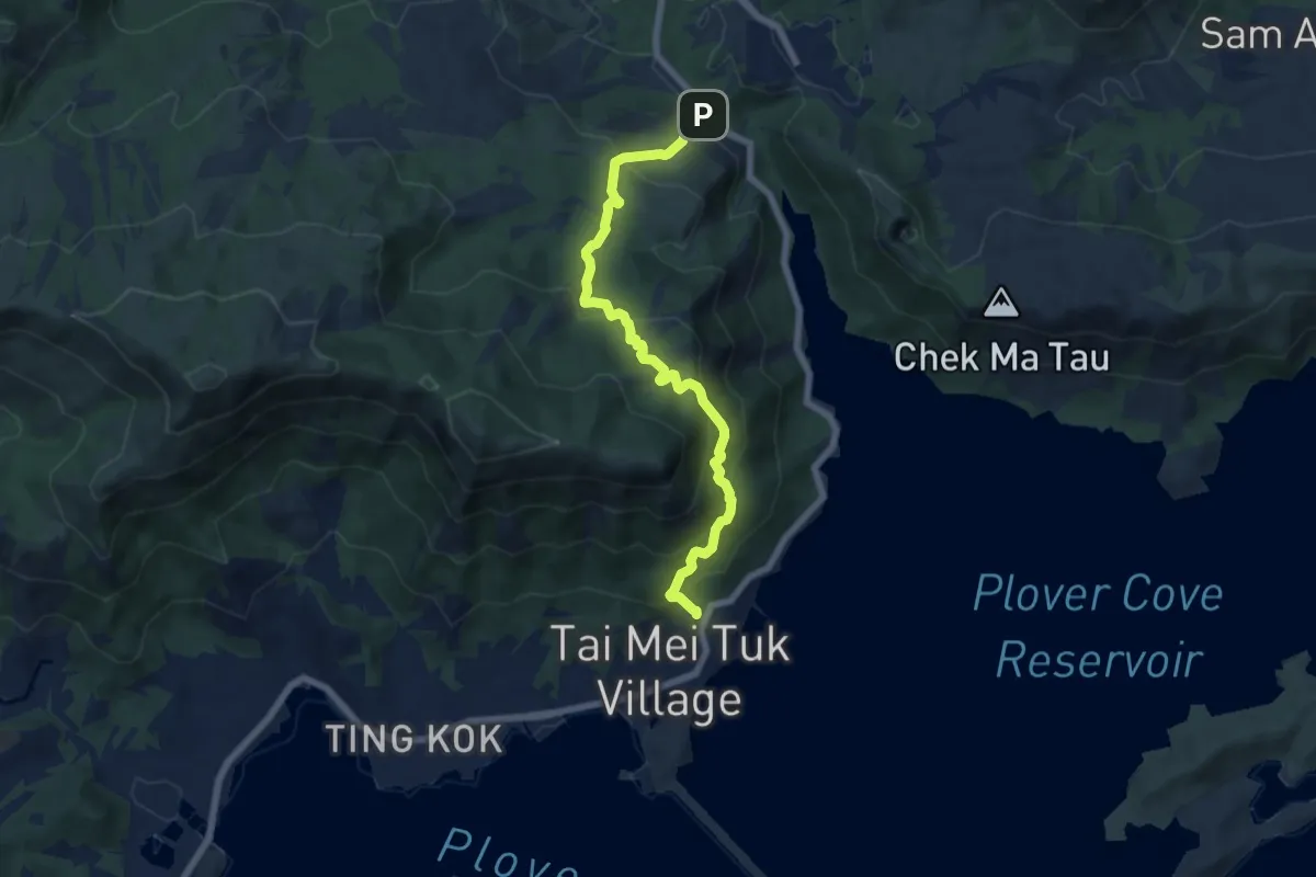
金督馳馬徑 Sir Cecil's Ride
8.4 km · ↑ 523 m · 3 h 8 min · 14 km away
Medium · Trail
八仙嶺自然教育徑 Pat Sin Leng Nature Trail
9.0 km · ↑ 655 m · 3 h 33 min · 14 km away
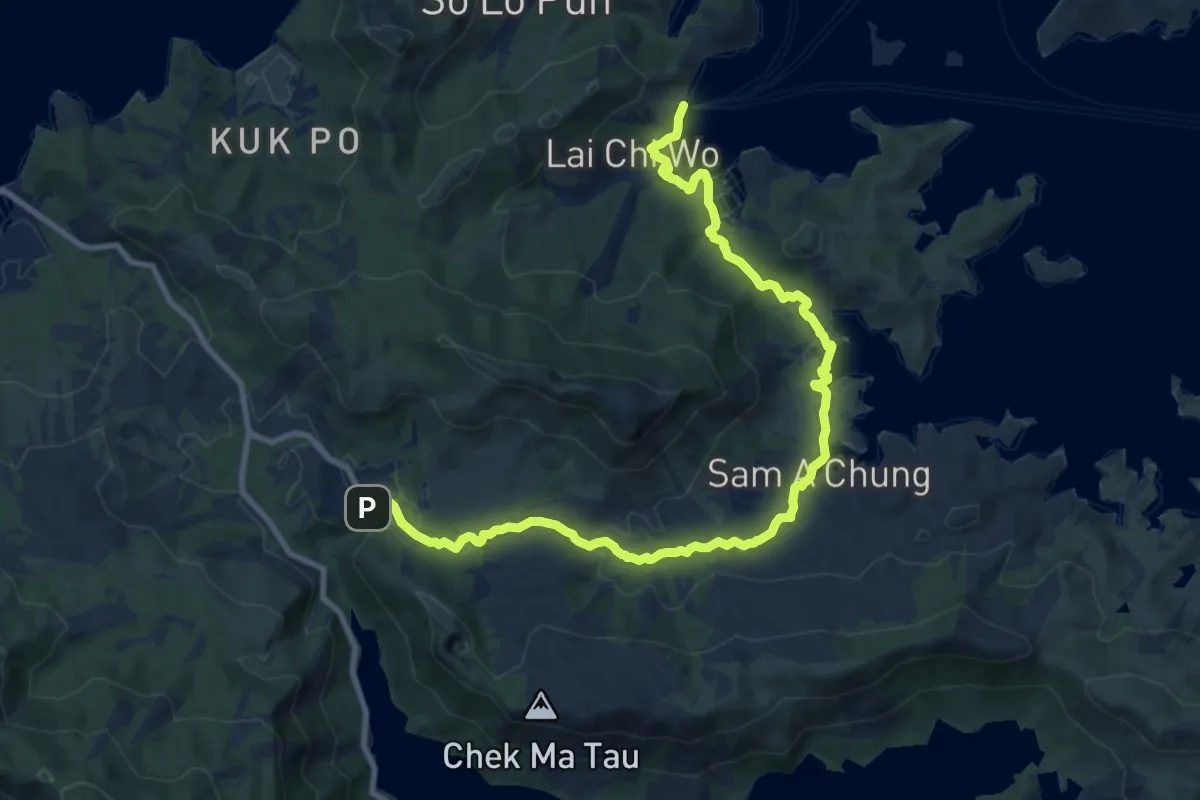
Medium · Trail
印洲塘郊遊徑 Double Haven Country Trail
15.3 km · ↑ 327 m · 4 h 20 min · 14 km away
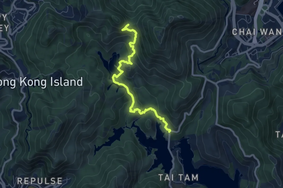
Medium · Trail
港島徑第6段 Hong Kong Trail Section 6
8.7 km · ↑ 447 m · 3 h 1 min · 14 km away
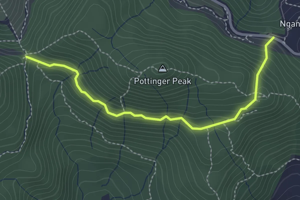
Easy · Trail
砵甸乍山郊遊徑 Pottinger Peak Country Trail
3.3 km · ↑ 177 m · 1 h 9 min · 14 km away
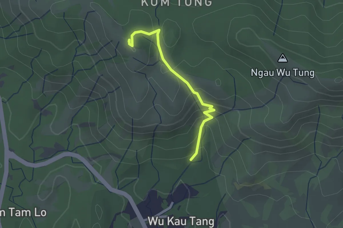
Easy · Summit
烏蛟騰郊遊徑 Wu Kau Tang Country Trail
2.5 km · ↑ 169 m · 57 min · 14 km away