Trails near 香港 Hong Kong
51 hikes starting within 15 km, nearest first.
Nearest first, page 1 of 2
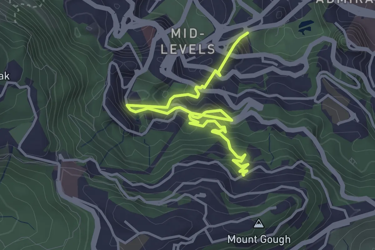
Medium · Trail
Central Green Trail
5.4 km · ↑ 749 m · 2 h 54 min · 1 km away
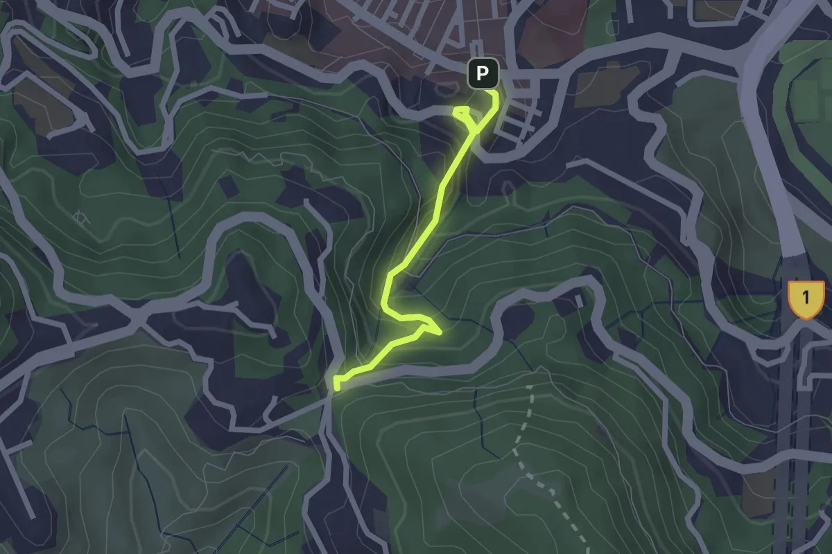
Easy · Trail
Wan Chai Green Trail
2.5 km · ↑ 274 m · 1 h 12 min · 2 km away
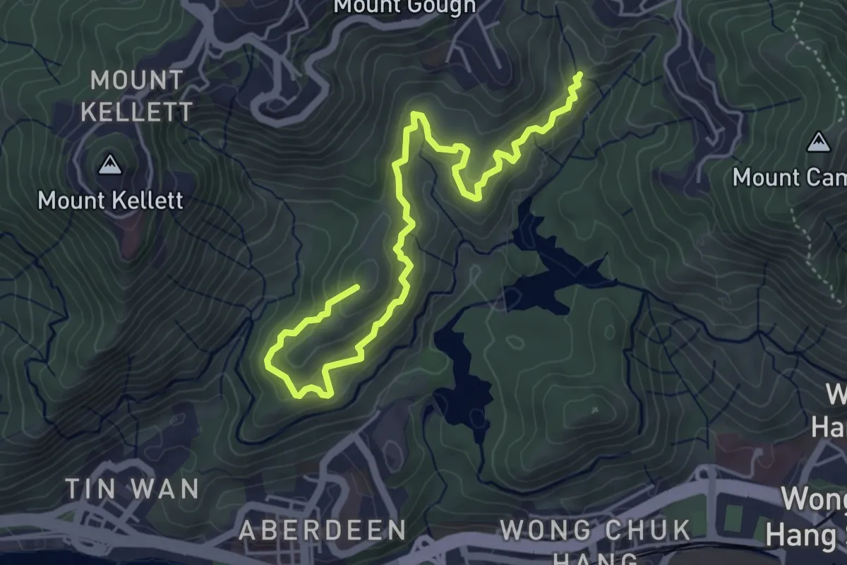
Medium · Summit
港島徑第3段 Hong Kong Trail Section 3
7.3 km · ↑ 448 m · 2 h 42 min · 2 km away
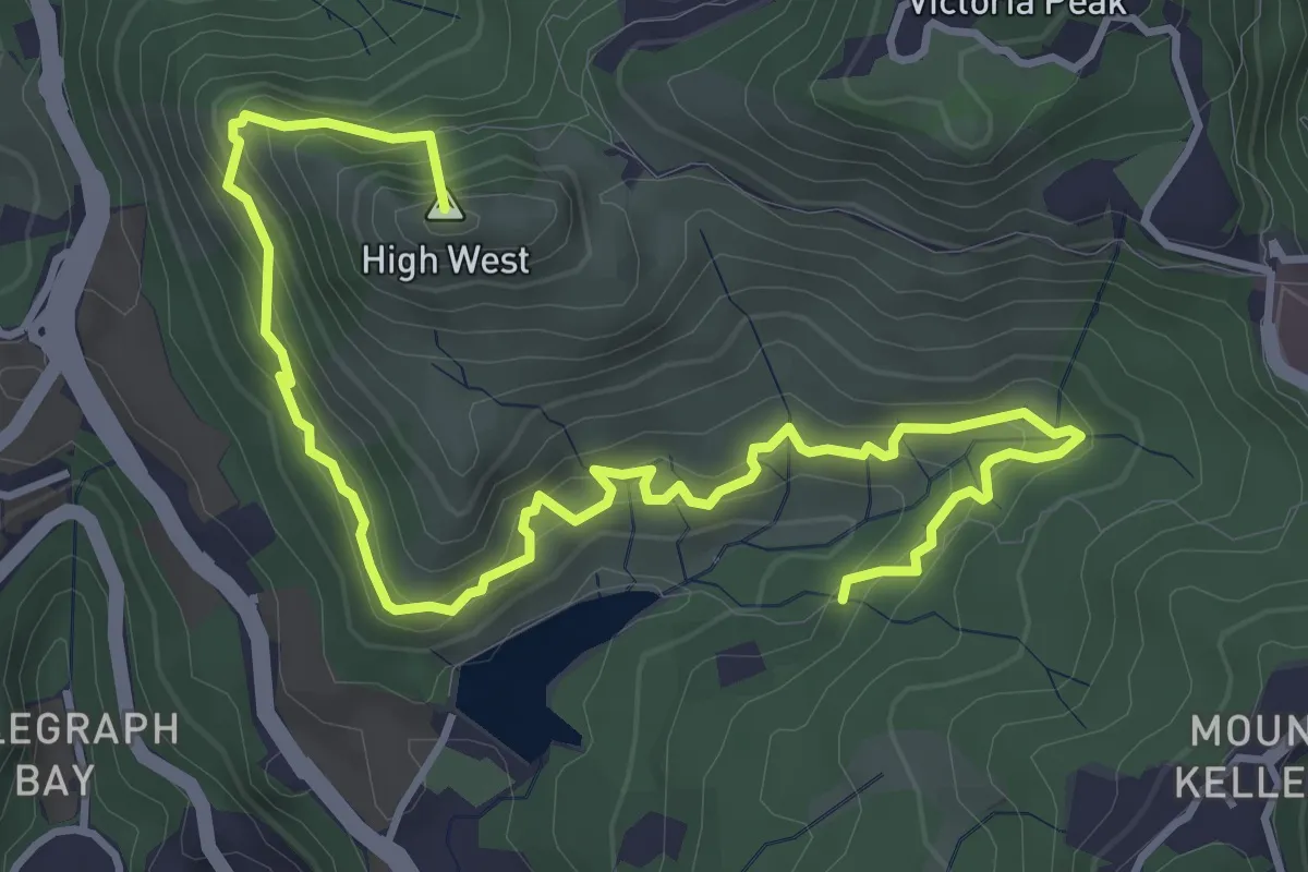
Medium · Summit
港島徑第1段 Hong Kong Trail Section 1
7.3 km · ↑ 588 m · 2 h 59 min · 2 km away
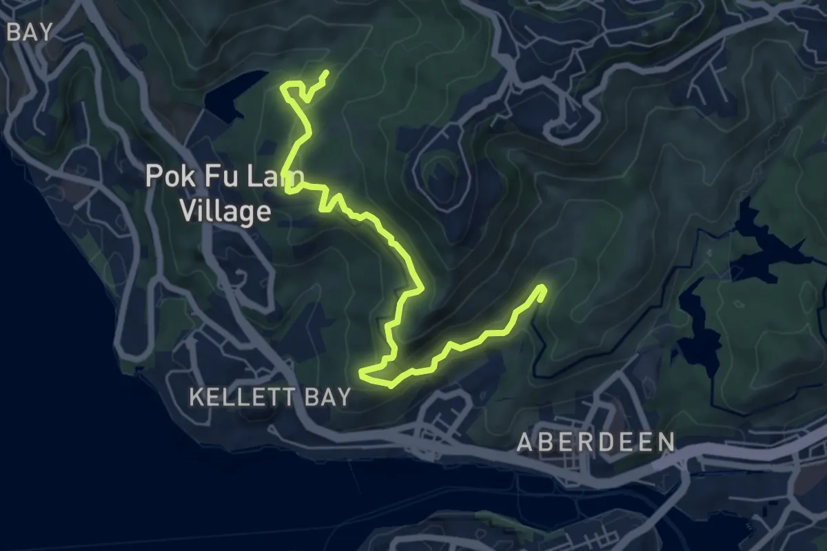
Medium · Trail
港島徑第2段 Hong Kong Trail Section 2
8.4 km · ↑ 479 m · 3 h 2 min · 2 km away
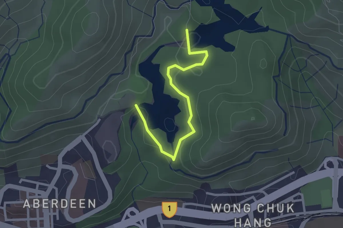
Easy · Trail
Aberdeen Nature Trail
3.0 km · ↑ 101 m · 55 min · 3 km away
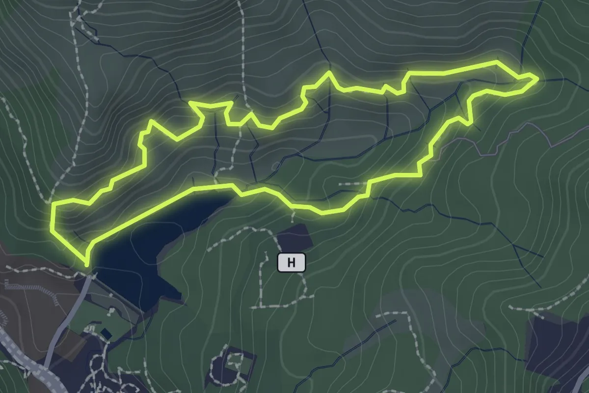
Easy · Trail
Pok Fu Lam Family Walk
3.1 km · ↑ 209 m · 1 h 14 min · 3 km away
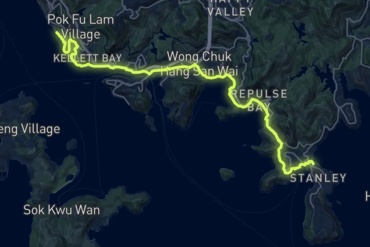
Medium · Trail
南區海濱長廊 Southern District Coastal Trail
14.9 km · ↑ 654 m · 5 h 8 min · 4 km away
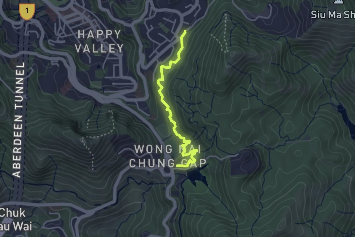
Easy · Trail
黃泥涌樹木研習徑 Wong Nai Chung Tree Walk
4.1 km · ↑ 266 m · 1 h 32 min · 4 km away
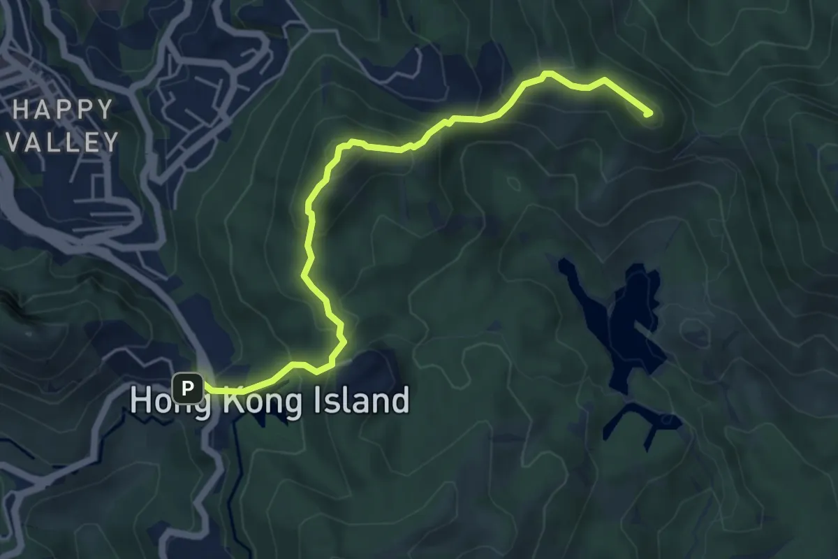
Medium · Summit
港島徑第5段 Hong Kong Trail Section 5
6.7 km · ↑ 507 m · 2 h 41 min · 4 km away
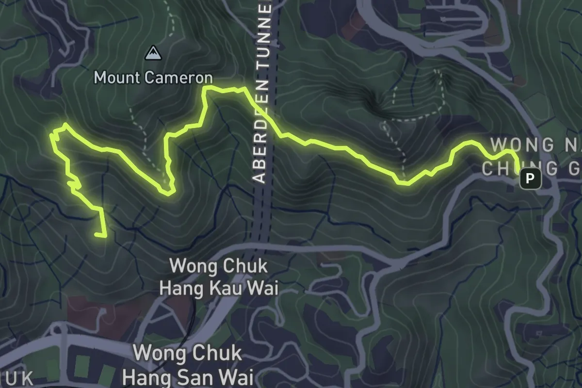
Medium · Summit
港島徑第4段 Hong Kong Trail Section 4
8.0 km · ↑ 456 m · 2 h 53 min · 4 km away
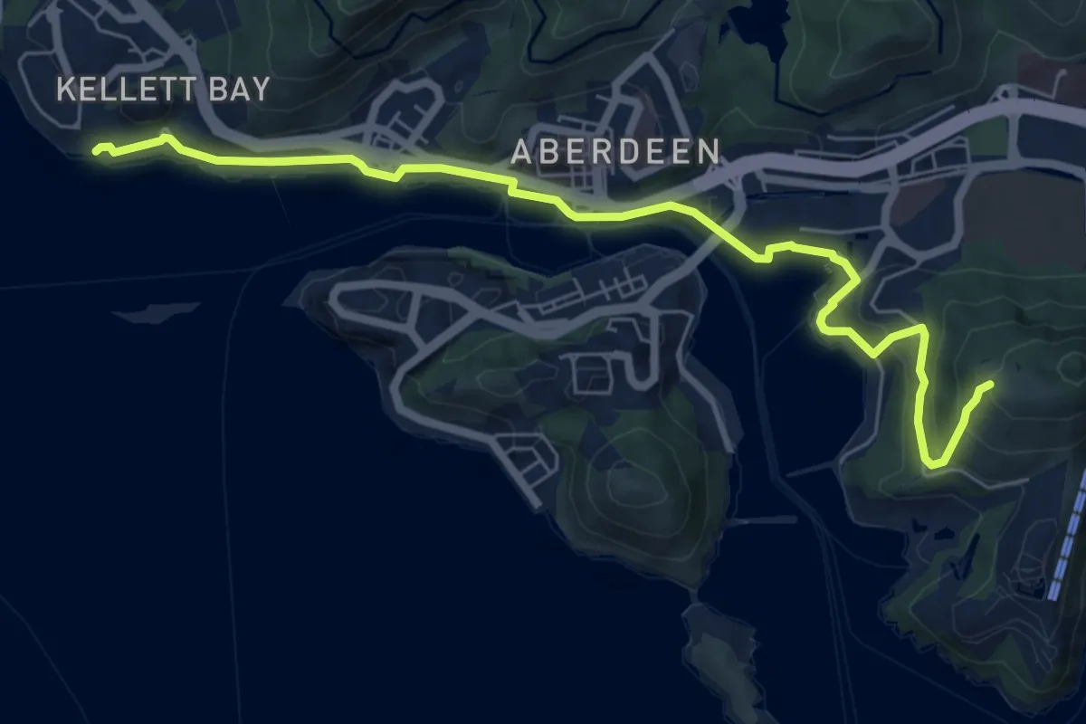
Medium · Trail
漁怡徑 Fishery Walk
9.7 km · ↑ 453 m · 3 h 16 min · 5 km away
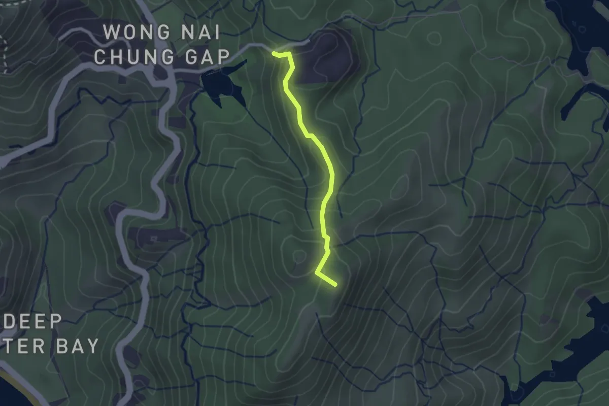
Easy · Summit
大潭郊遊徑 Tai Tam Country Trail
2.4 km · ↑ 206 m · 1 h 1 min · 5 km away
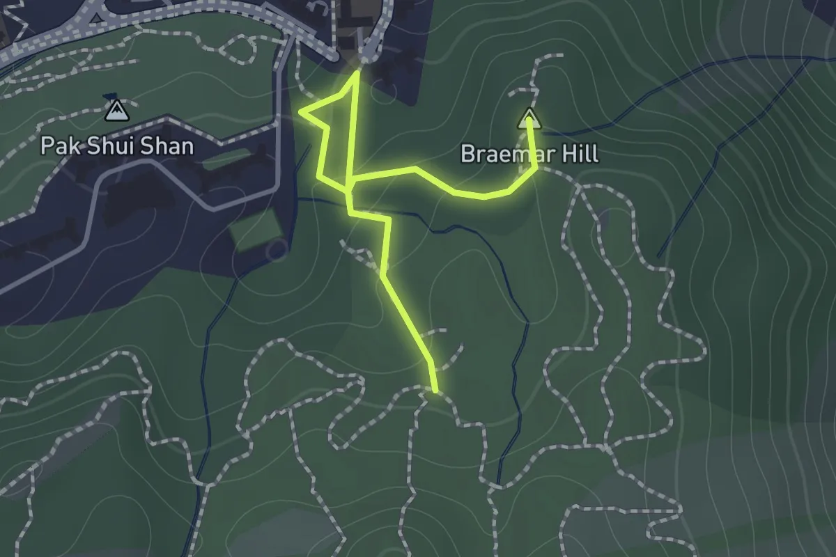
Easy · Summit
寶聯徑 Po Luen Path
1.7 km · ↑ 87 m · 35 min · 5 km away
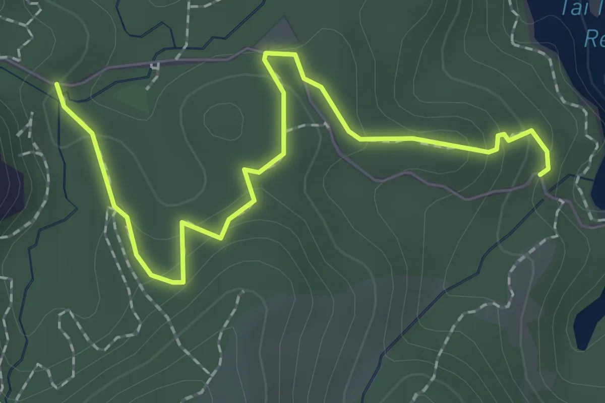
Easy · Trail
大潭家樂徑 Tai Tam Family Walk
3.0 km · ↑ 170 m · 1 h 5 min · 5 km away
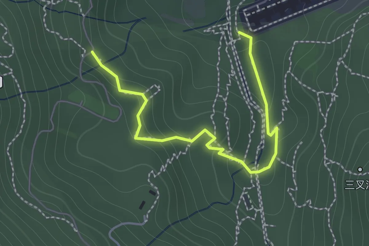
Easy · Trail
鰂魚涌樹木研習徑 Quarry Bay Tree Walk
2.1 km · ↑ 122 m · 46 min · 5 km away
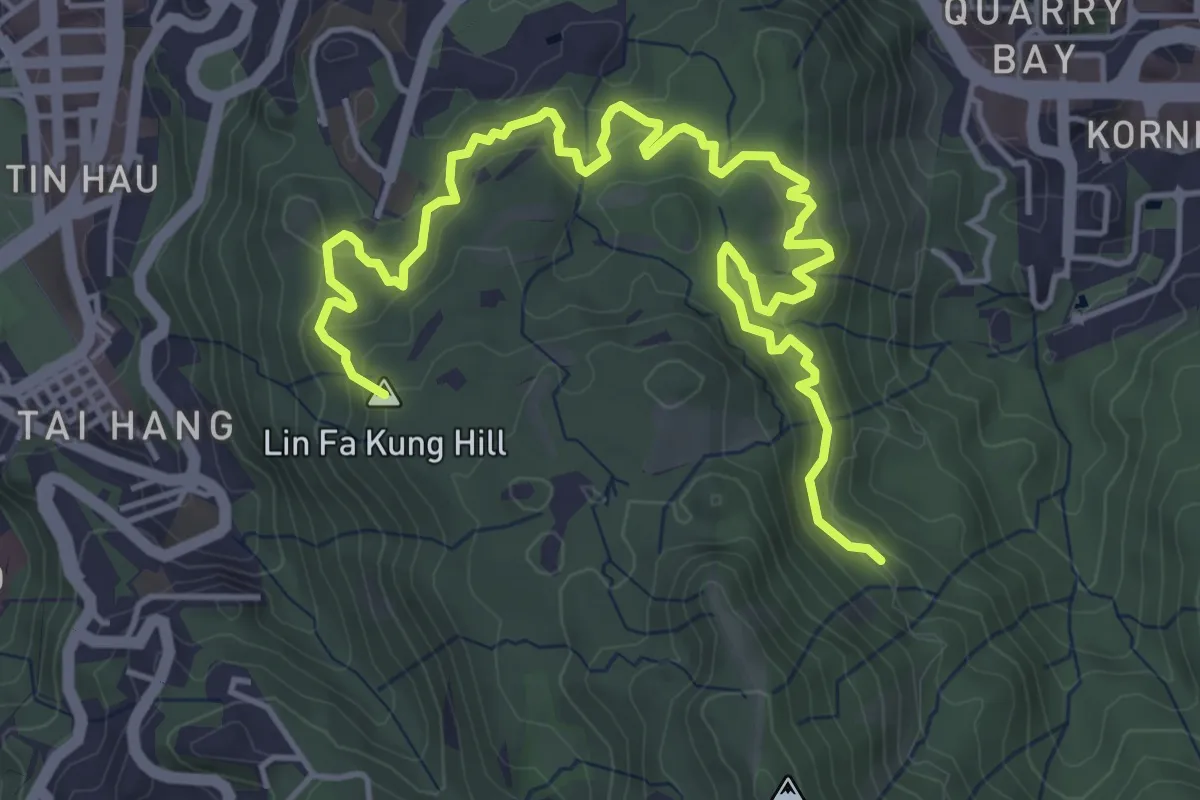
Medium · Summit
金督馳馬徑 Sir Cecil's Ride
8.4 km · ↑ 523 m · 3 h 8 min · 5 km away
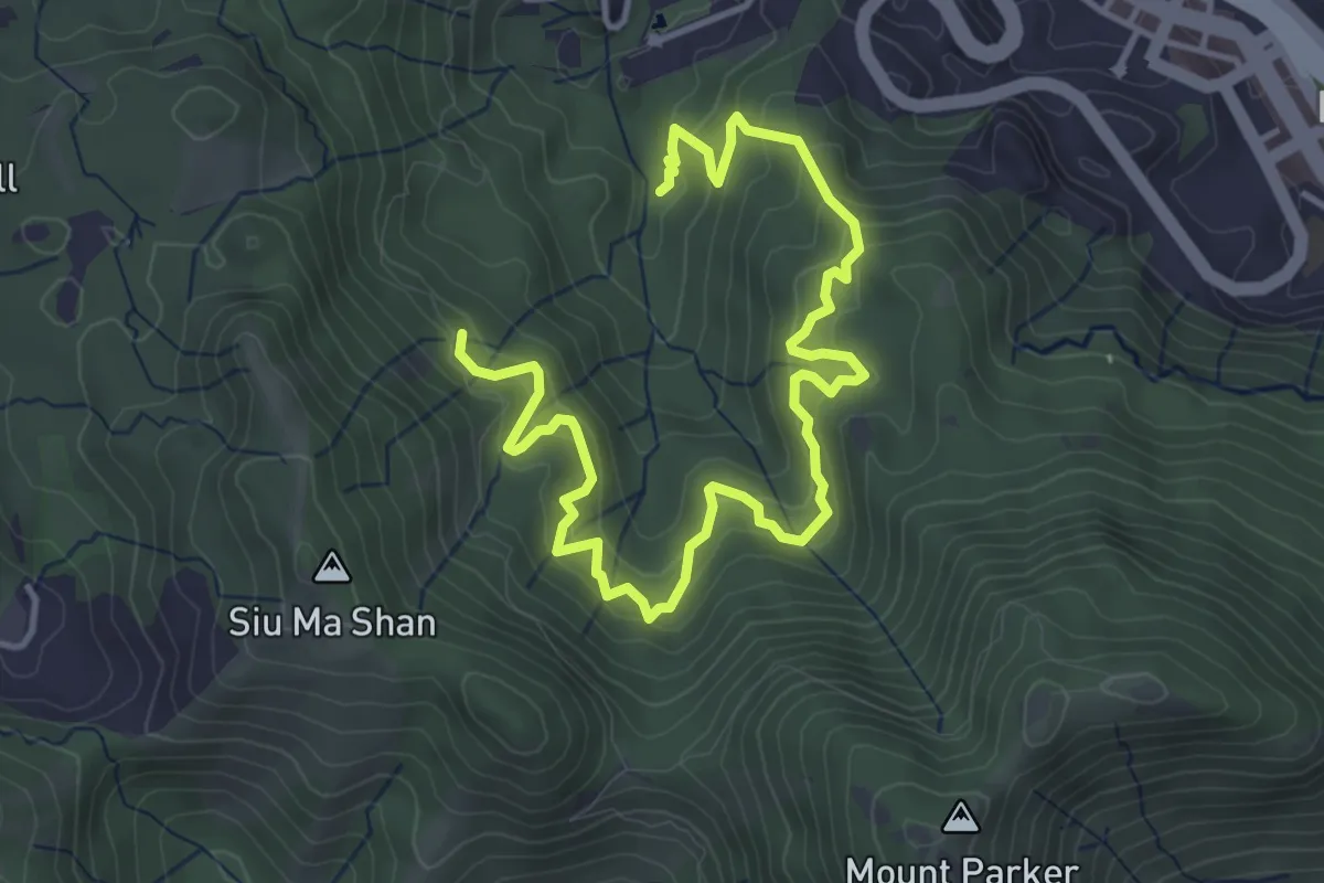
Medium · Trail
康柏郊遊徑 Hong Pak Country Trail
7.2 km · ↑ 510 m · 2 h 49 min · 6 km away
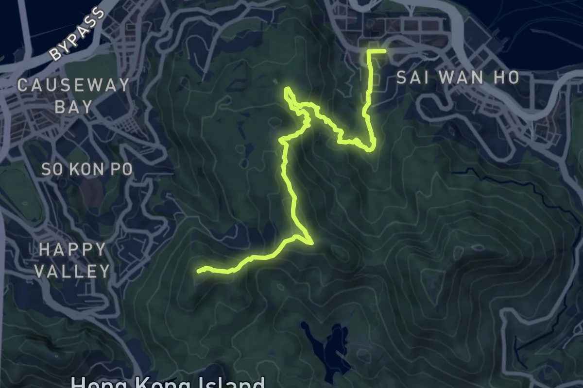
Demanding · Summit
衛奕信徑第2段 Wilson Trail Section 2
11.2 km · ↑ 938 m · 4 h 41 min · 6 km away
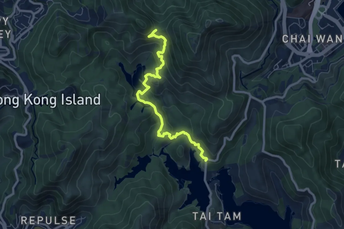
Medium · Trail
港島徑第6段 Hong Kong Trail Section 6
8.7 km · ↑ 447 m · 3 h 1 min · 6 km away
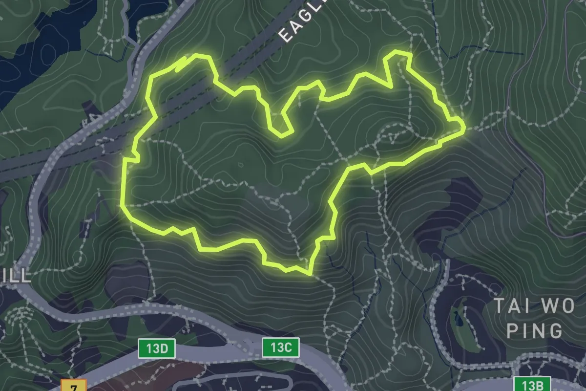
Easy · Trail
鷹巢山自然教育徑 Eagle's Nest Nature Trail
3.6 km · ↑ 268 m · 1 h 29 min · 7 km away
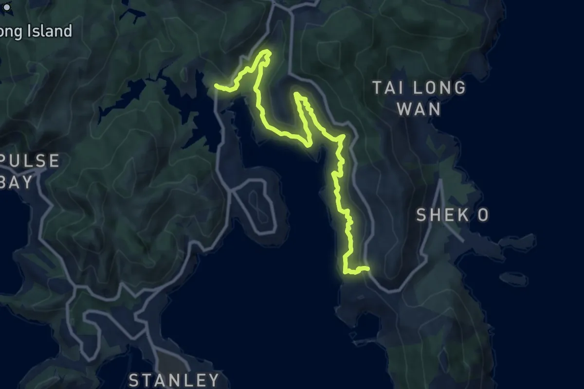
Medium · Trail
港島徑第7段 Hong Kong Trail Section 7
13.8 km · ↑ 606 m · 4 h 34 min · 7 km away
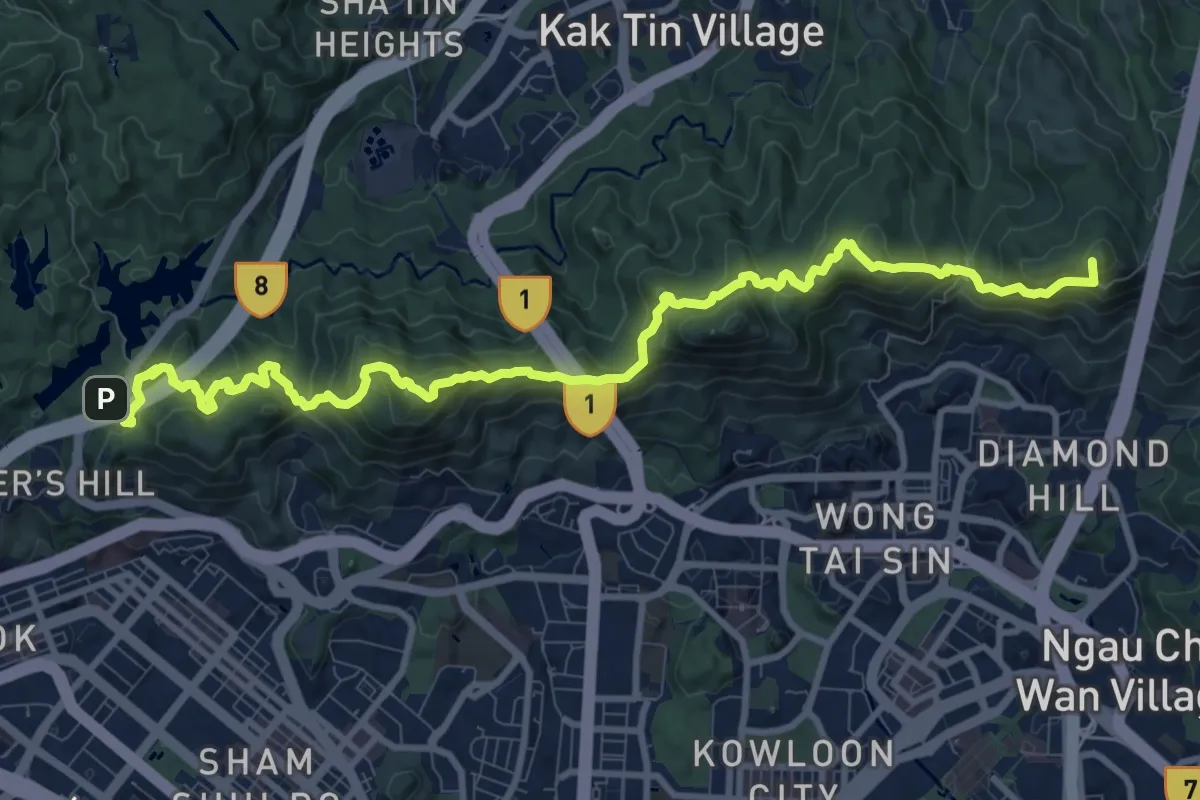
Demanding · Summit
麥理浩徑第5段 MacLehose Trail Section 5
16.2 km · ↑ 1350 m · 6 h 45 min · 7 km away
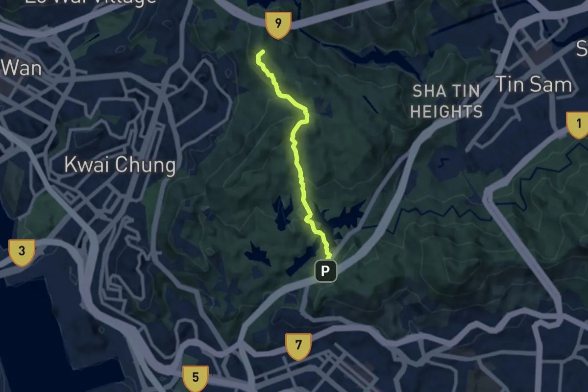
Medium · Summit
麥理浩徑第6段 MacLehose Trail Section 6
7.3 km · ↑ 511 m · 2 h 50 min · 8 km away
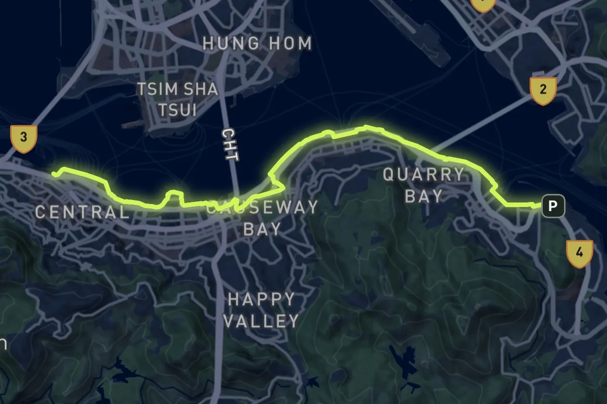
Demanding · Trail
維港徑 Harbour Walk
21.6 km · ↑ 470 m · 6 h 7 min · 8 km away
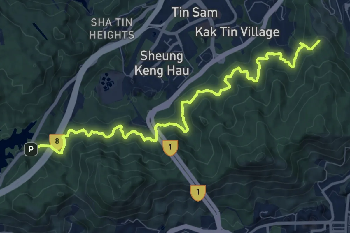
Medium · Summit
衛奕信徑第5段 Wilson Trail Section 5
13.2 km · ↑ 743 m · 4 h 43 min · 8 km away
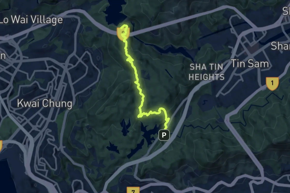
Medium · Summit
衛奕信徑第6段 Wilson Trail Section 6
9.9 km · ↑ 606 m · 3 h 40 min · 8 km away
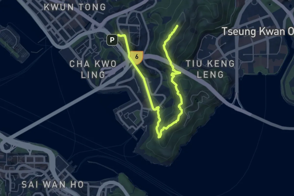
Medium · Summit
衛奕信徑第3段 Wilson Trail Section 3
11.2 km · ↑ 671 m · 4 h 6 min · 8 km away
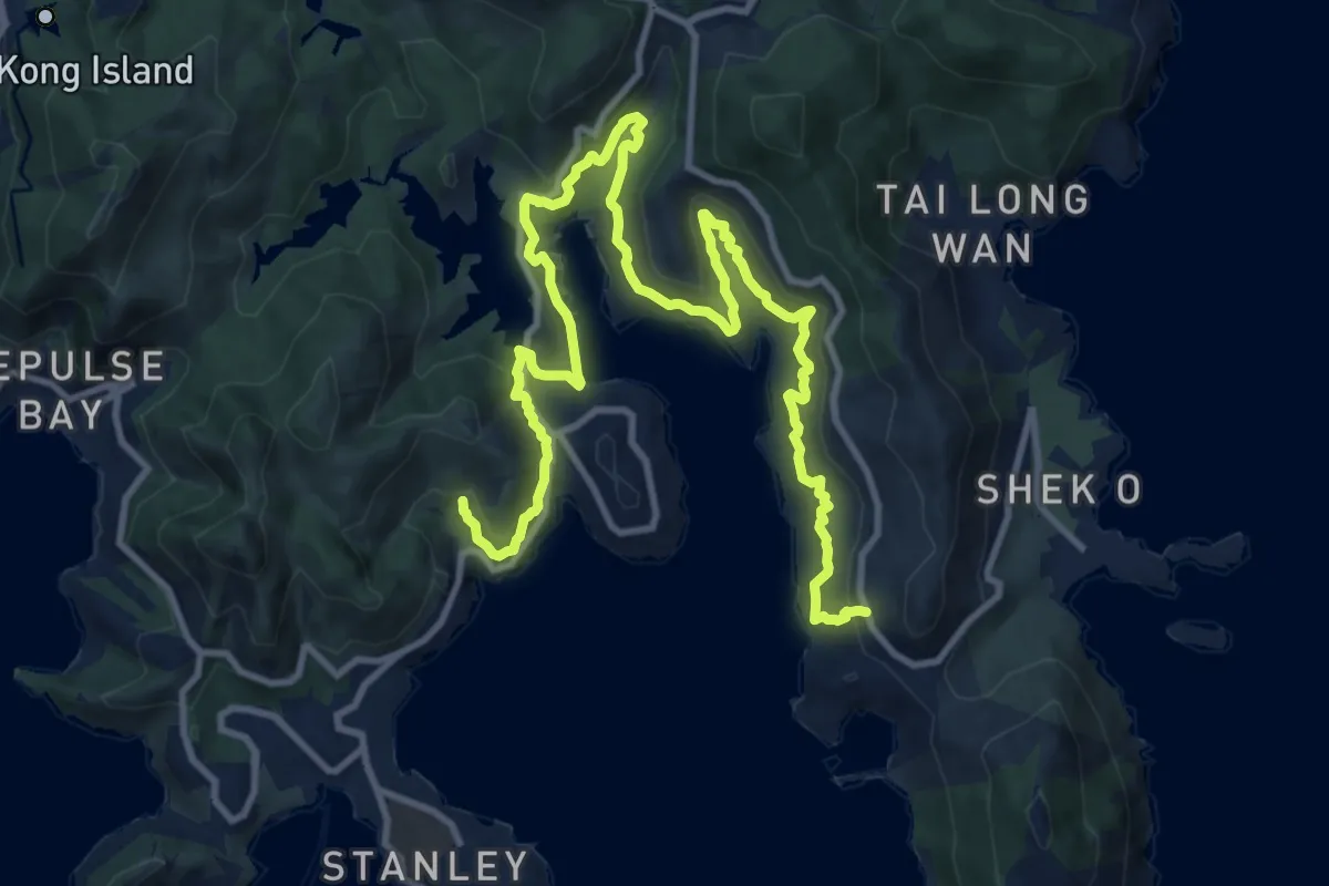
Demanding · Trail
綠悠徑 Nature Walk
20.5 km · ↑ 798 m · 6 h 35 min · 8 km away
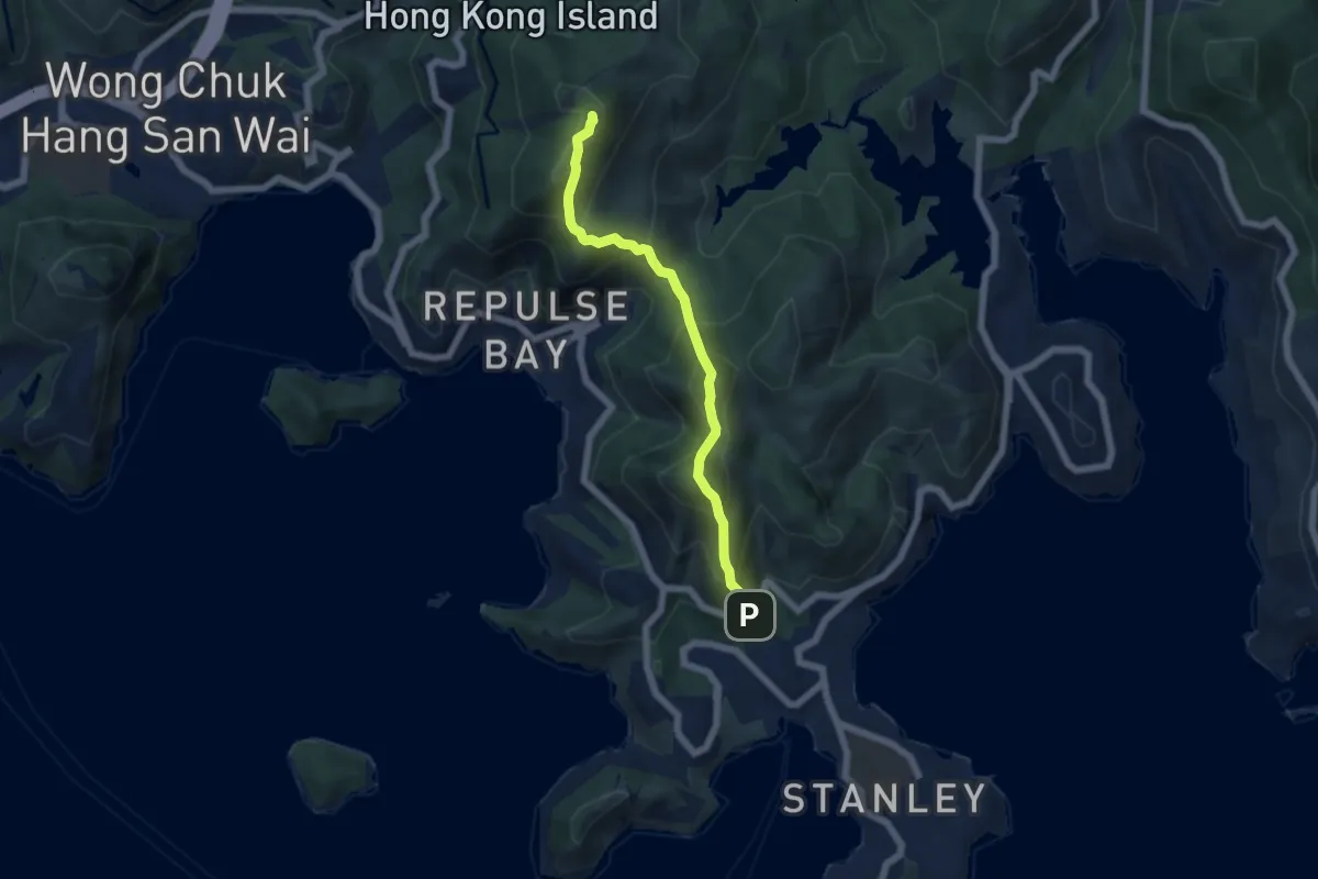
Demanding · Summit
衛奕信徑第1段 Wilson Trail Section 1
7.0 km · ↑ 900 m · 3 h 36 min · 8 km away
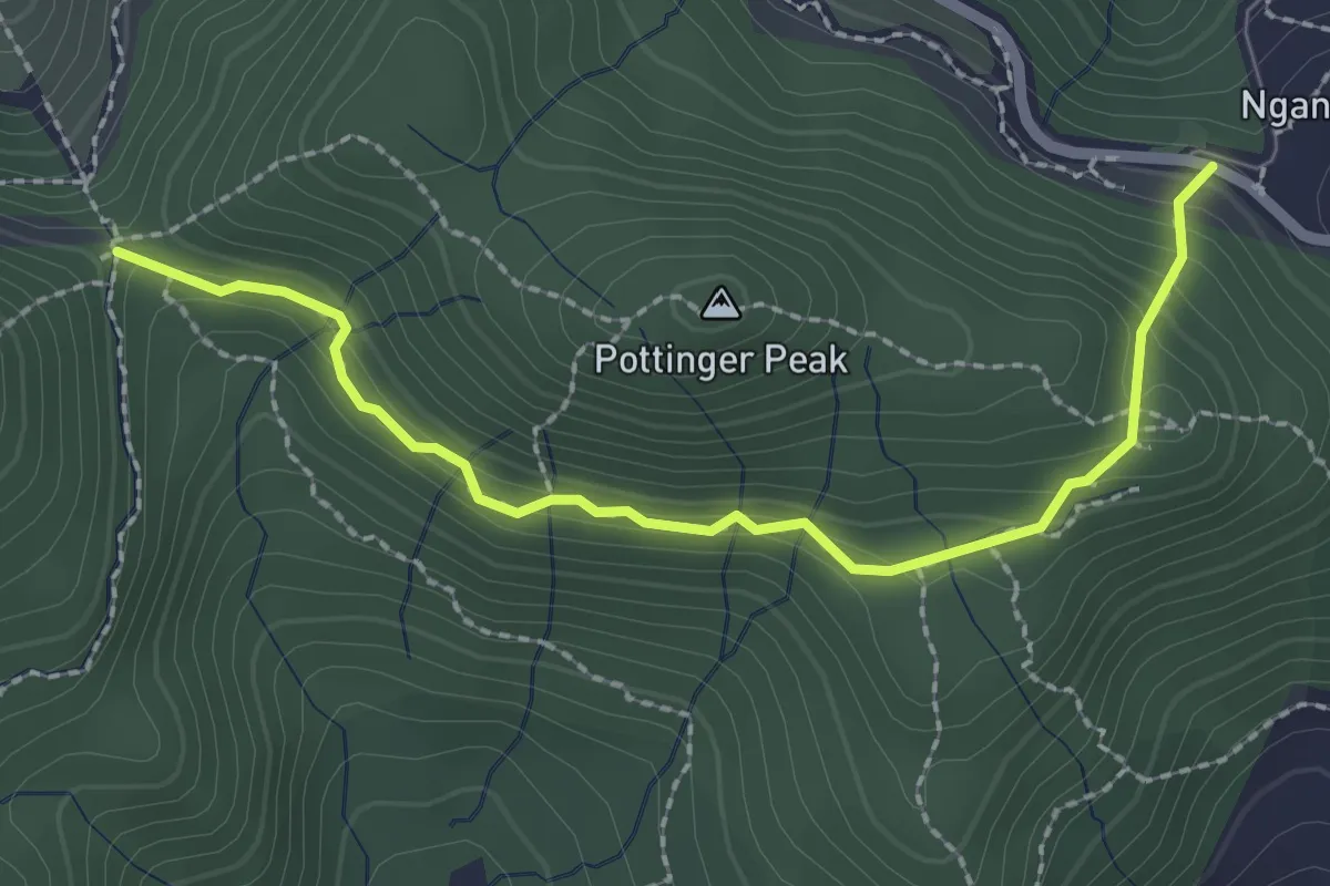
Easy · Trail
砵甸乍山郊遊徑 Pottinger Peak Country Trail
3.3 km · ↑ 177 m · 1 h 9 min · 9 km away
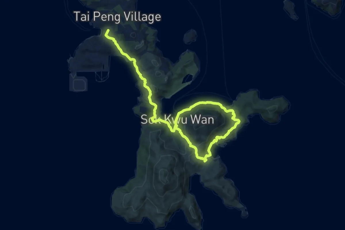
Demanding · Summit
南丫島家樂徑 Lamma Island Family Walk
19.6 km · ↑ 703 m · 6 h 9 min · 9 km away
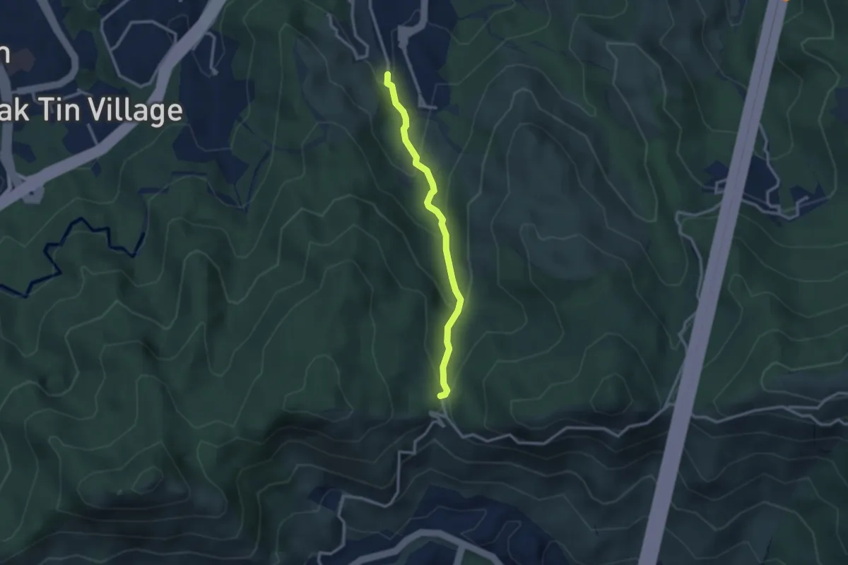
Easy · Trail
沙田郊野徑 Sha Tin Country Trail
3.2 km · ↑ 205 m · 1 h 12 min · 9 km away
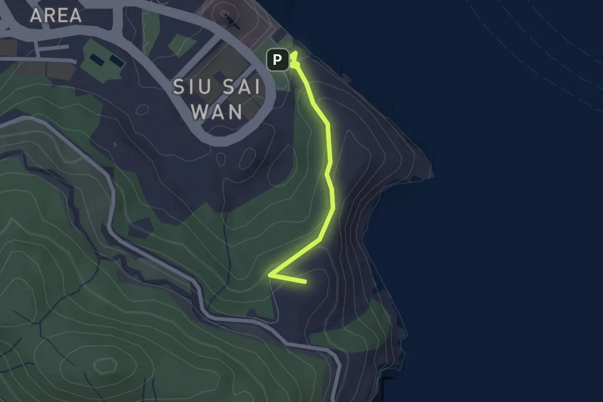
Easy · Summit
龍躍徑 Leaping Dragon Walk
2.4 km · ↑ 133 m · 52 min · 10 km away
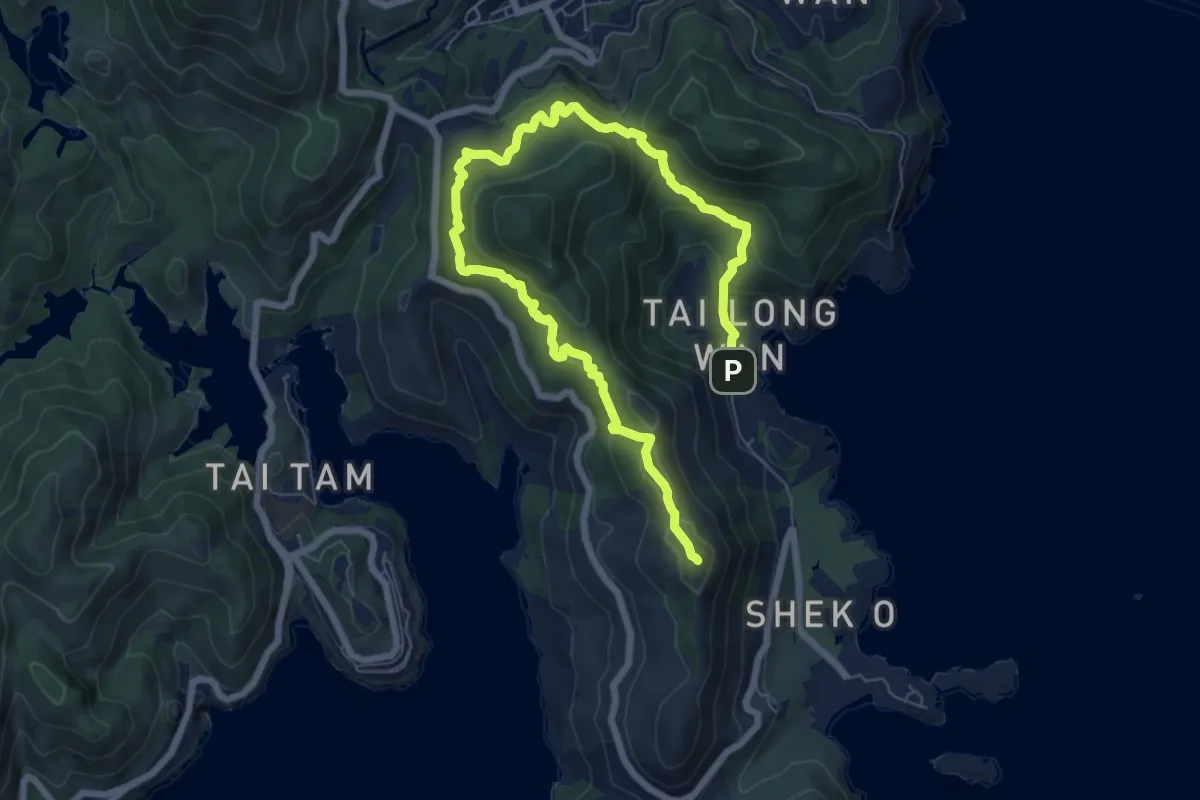
Medium · Summit
港島徑第8段 Hong Kong Trail Section 8
12.2 km · ↑ 577 m · 4 h 8 min · 10 km away
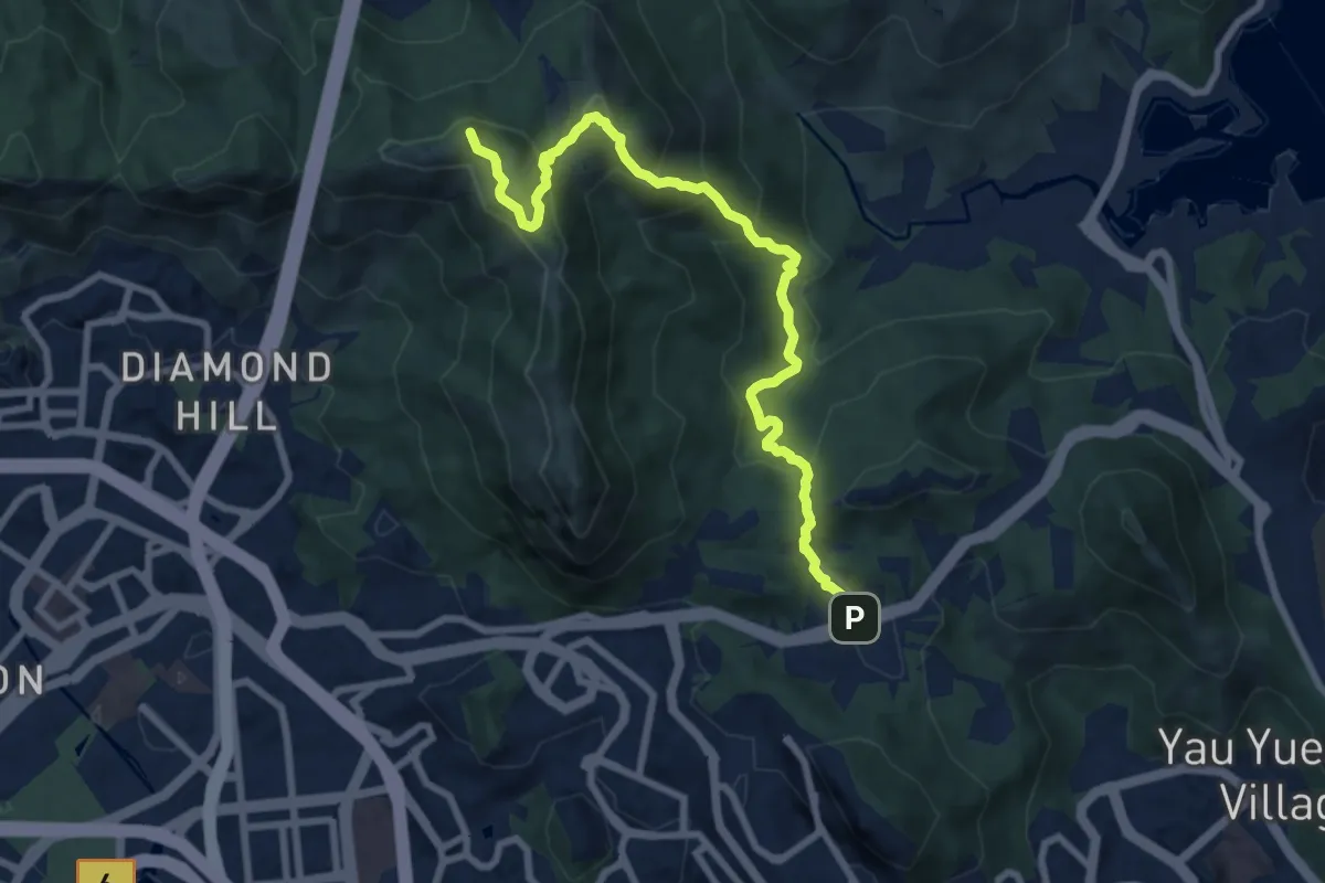
Demanding · Summit
衛奕信徑第4段 Wilson Trail Section 4
11.3 km · ↑ 817 m · 4 h 27 min · 10 km away
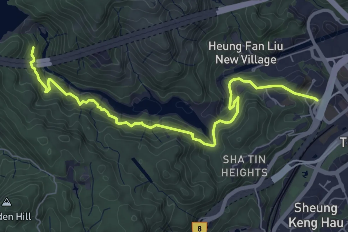
Medium · Trail
沙田郊野徑 Sha Tin Country Trail
8.6 km · ↑ 735 m · 3 h 38 min · 11 km away
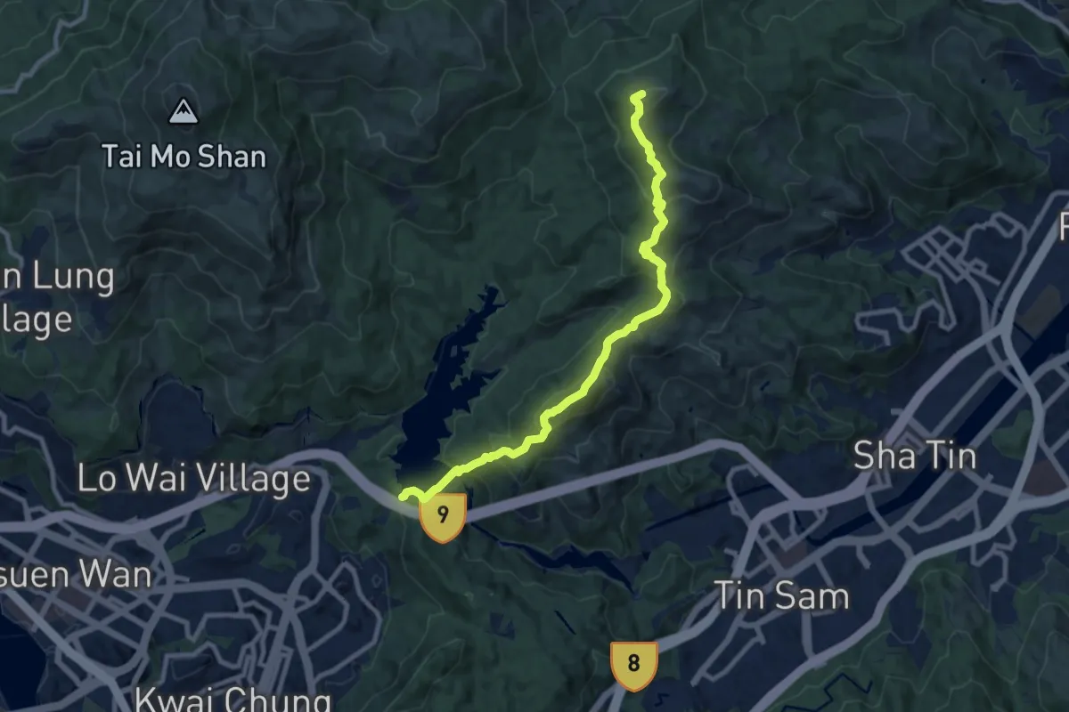
Demanding · Summit
麥理浩徑第7段 MacLehose Trail Section 7
12.0 km · ↑ 862 m · 4 h 42 min · 11 km away
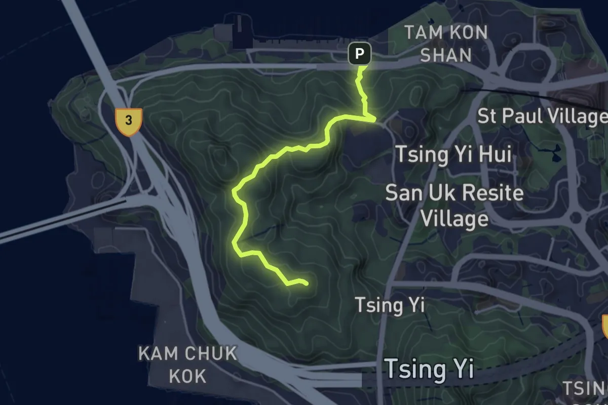
Easy · Summit
青衣自然徑 Tsing Yi Nature Trails
4.6 km · ↑ 245 m · 1 h 37 min · 11 km away
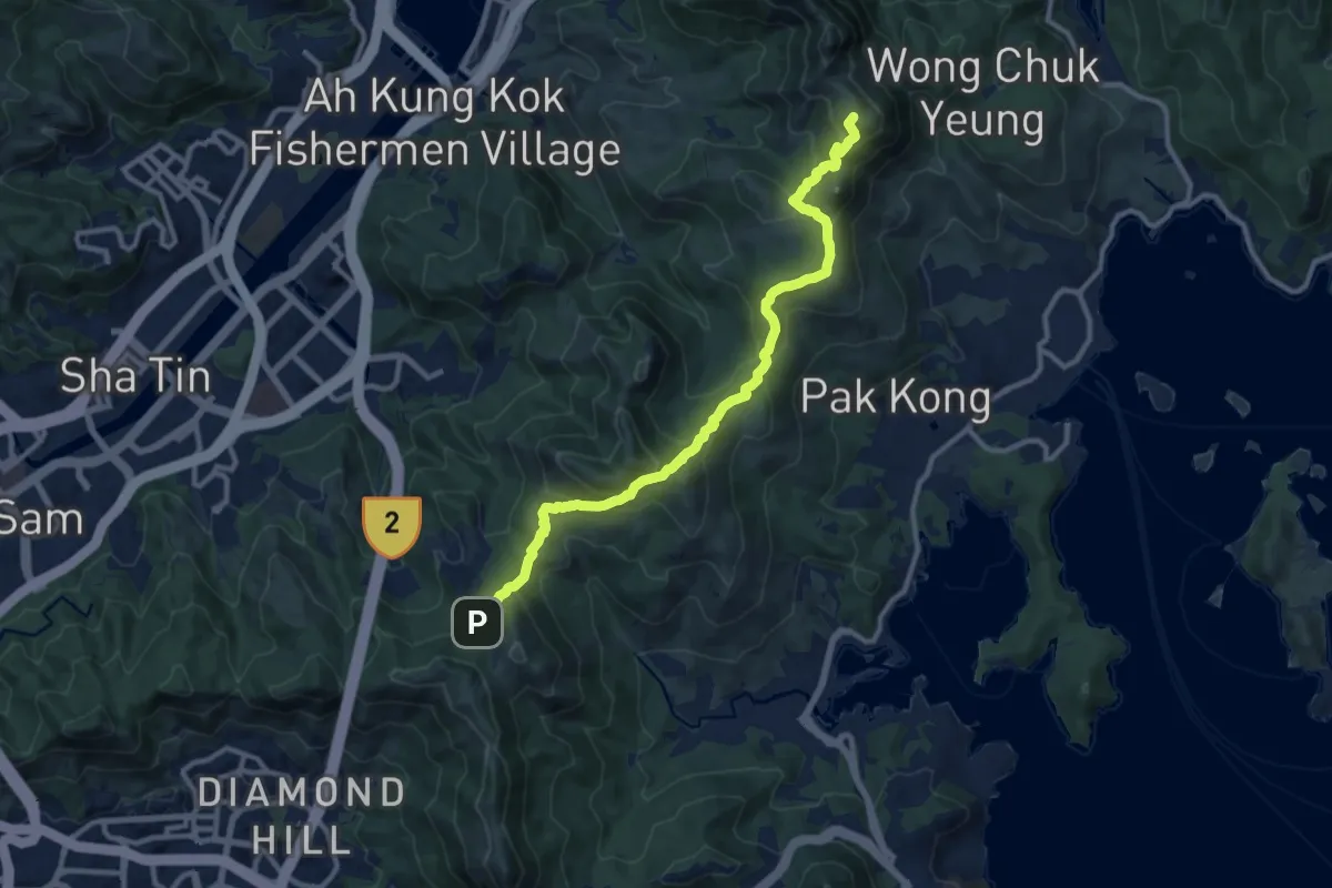
Medium · Summit
麥理浩徑第4段 MacLehose Trail Section 4
15.0 km · ↑ 729 m · 5 h 7 min · 11 km away
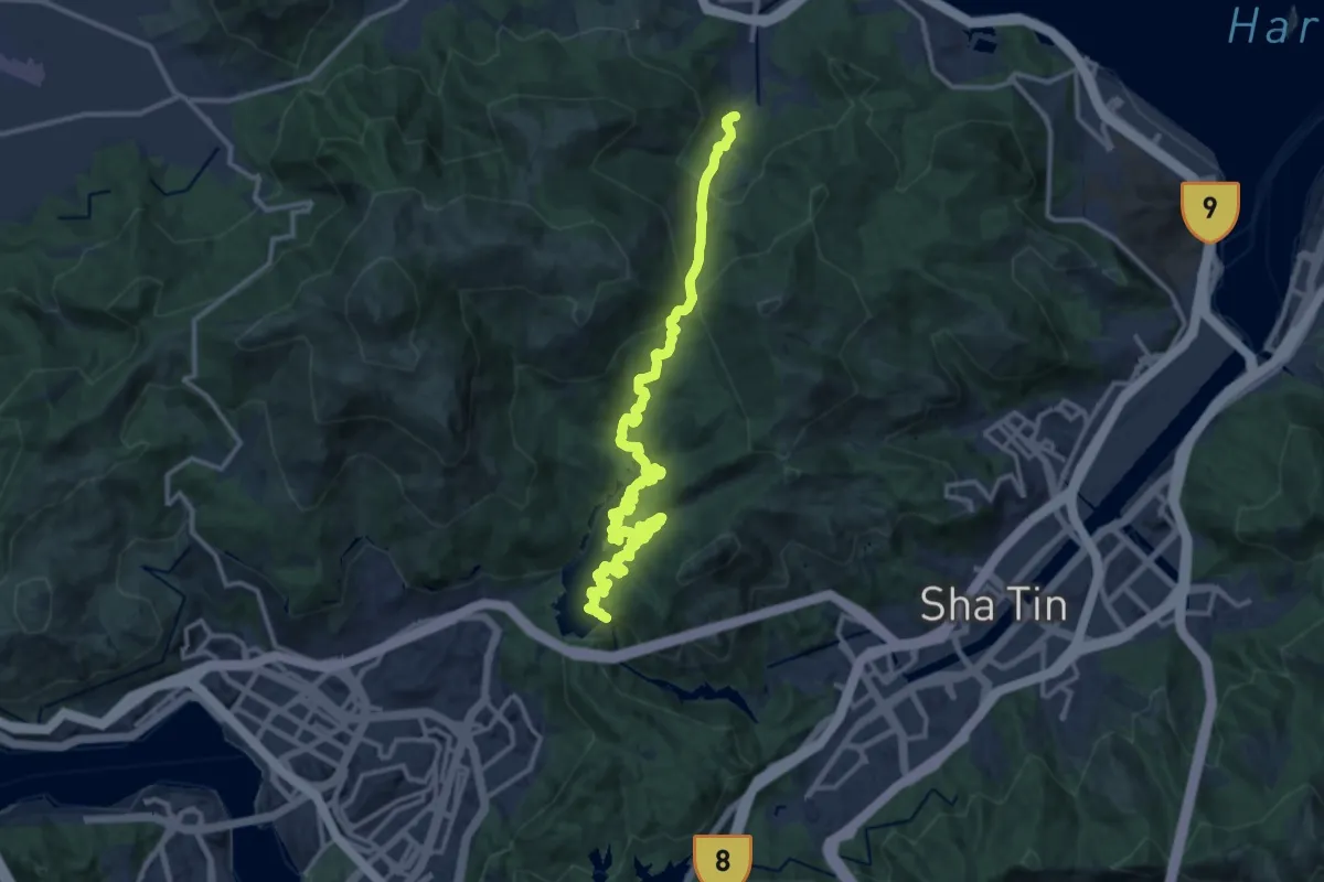
Demanding · Trail
衛奕信徑第7段 Wilson Trail Section 7
20.2 km · ↑ 950 m · 6 h 49 min · 11 km away
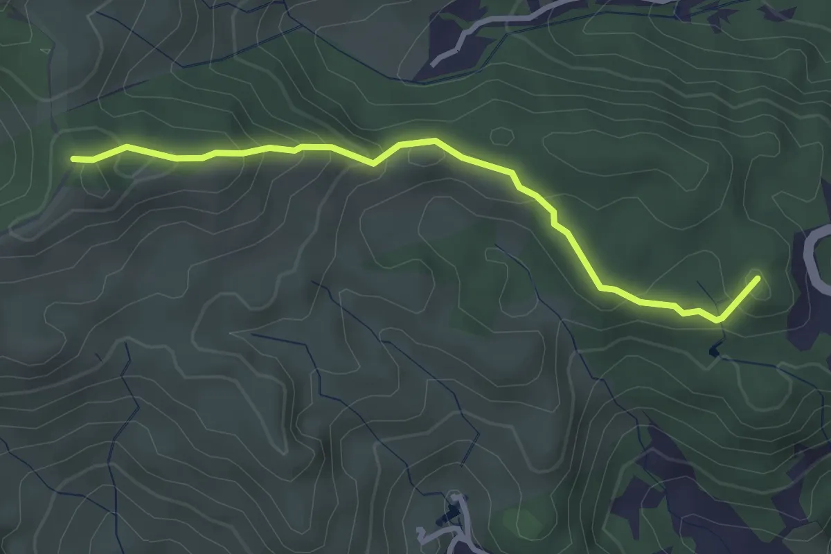
Easy · Summit
沙田郊野徑 Sha Tin Country Trail
3.8 km · ↑ 259 m · 1 h 28 min · 13 km away
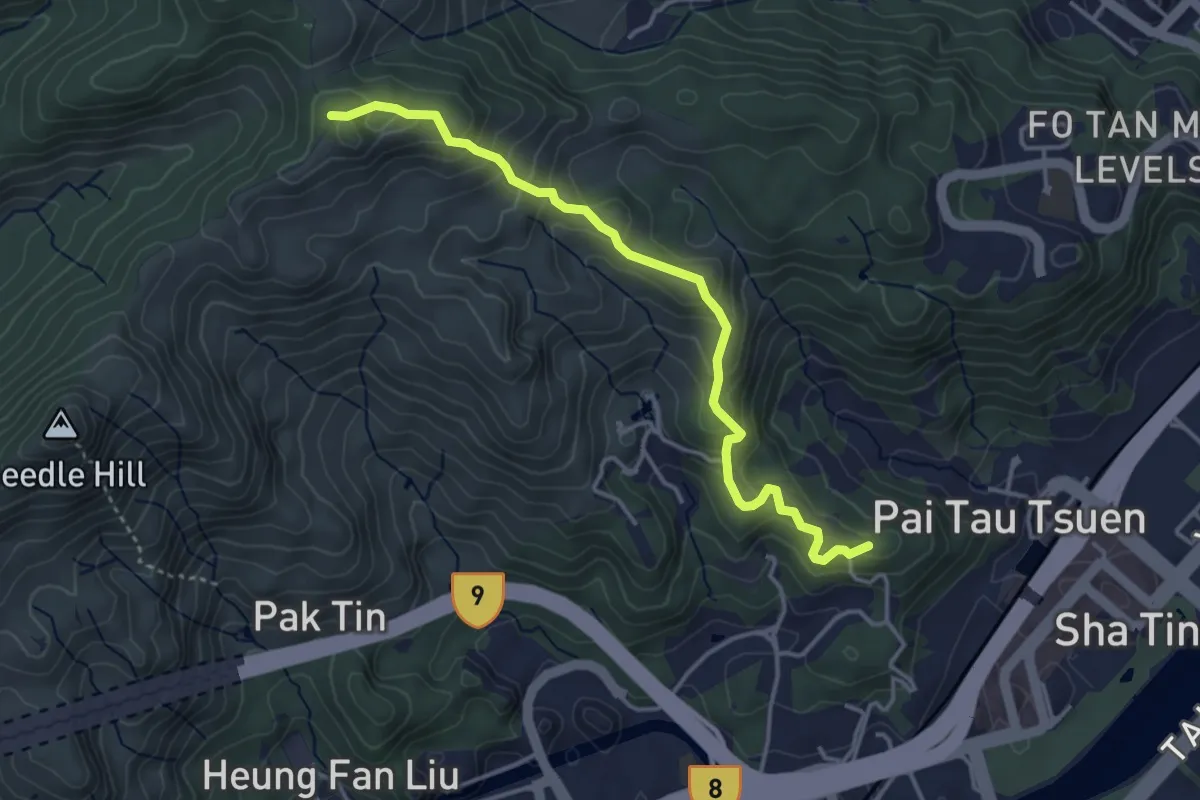
Medium · Summit
沙田郊野徑 Sha Tin Country Trail
5.2 km · ↑ 343 m · 1 h 58 min · 13 km away
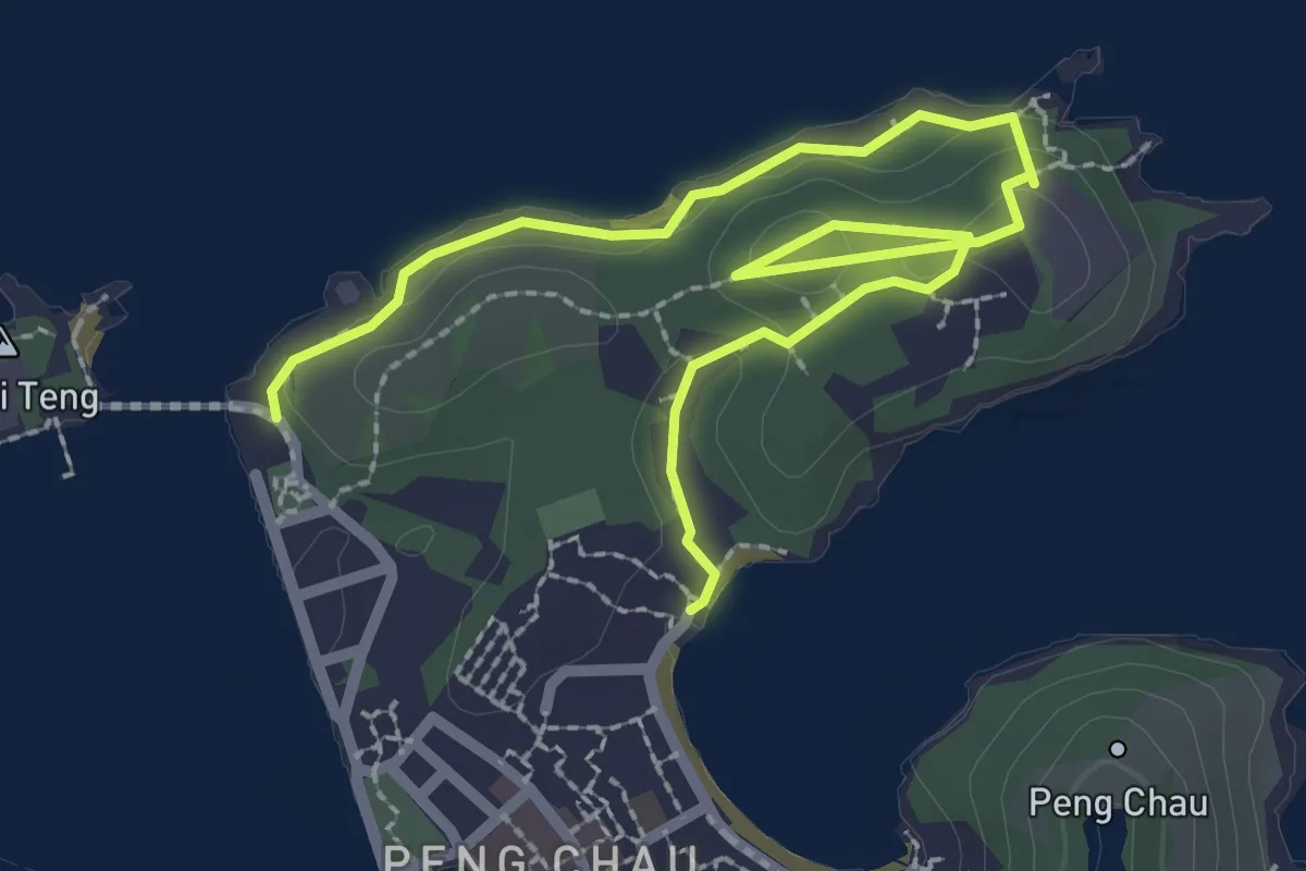
Easy · Trail
Peng Chau Family Trail
4.6 km · ↑ 86 m · 1 h 16 min · 13 km away
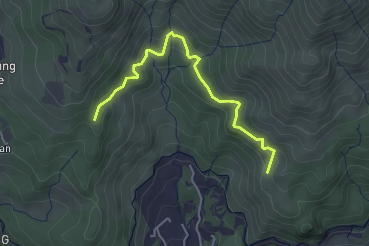
Easy · Summit
龍門郊遊徑 Lung Mun Country Trail
4.5 km · ↑ 206 m · 1 h 30 min · 13 km away
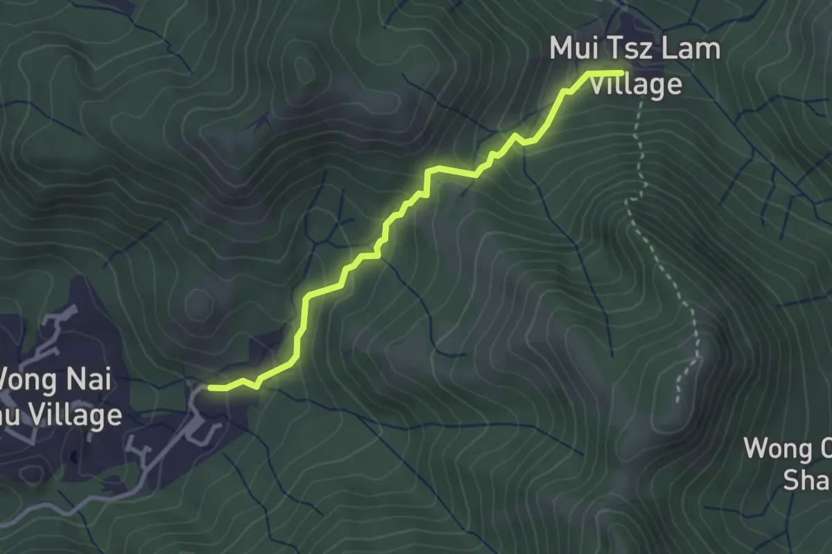
Easy · Trail
沙田郊野徑 Sha Tin Country Trail
3.8 km · ↑ 270 m · 1 h 29 min · 13 km away
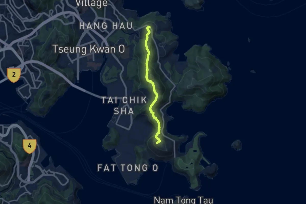
Medium · Summit
釣魚翁郊遊徑 High Junk Peak Country Trail
10.6 km · ↑ 547 m · 3 h 41 min · 13 km away
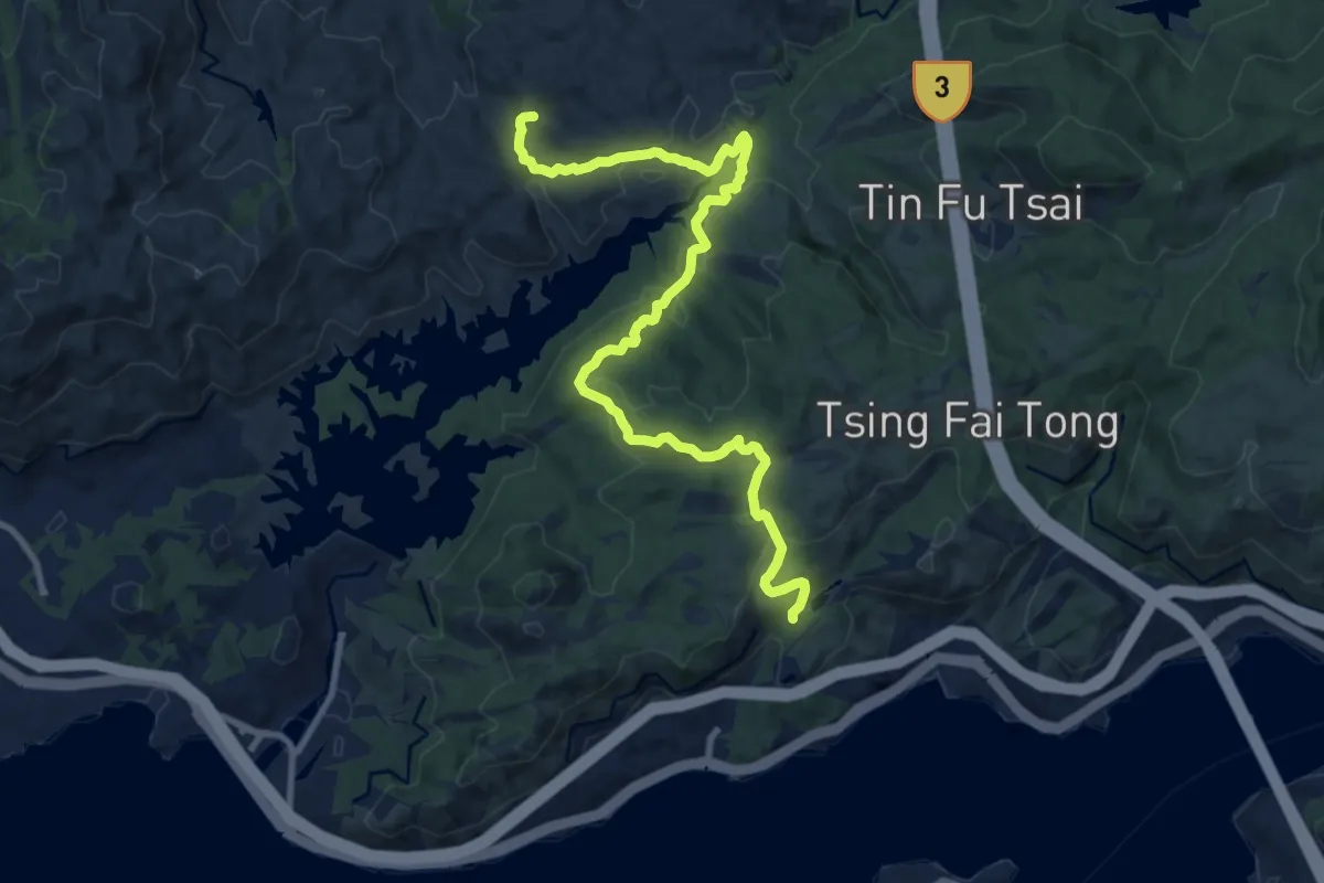
Medium · Trail
大欖自然教育徑 Tai Lam Nature Trail
15.1 km · ↑ 515 m · 4 h 41 min · 15 km away