Trails in Hong Kong
115 hiking trails, each with its route, climb, walking time and grade.
All trails, page 3 of 3
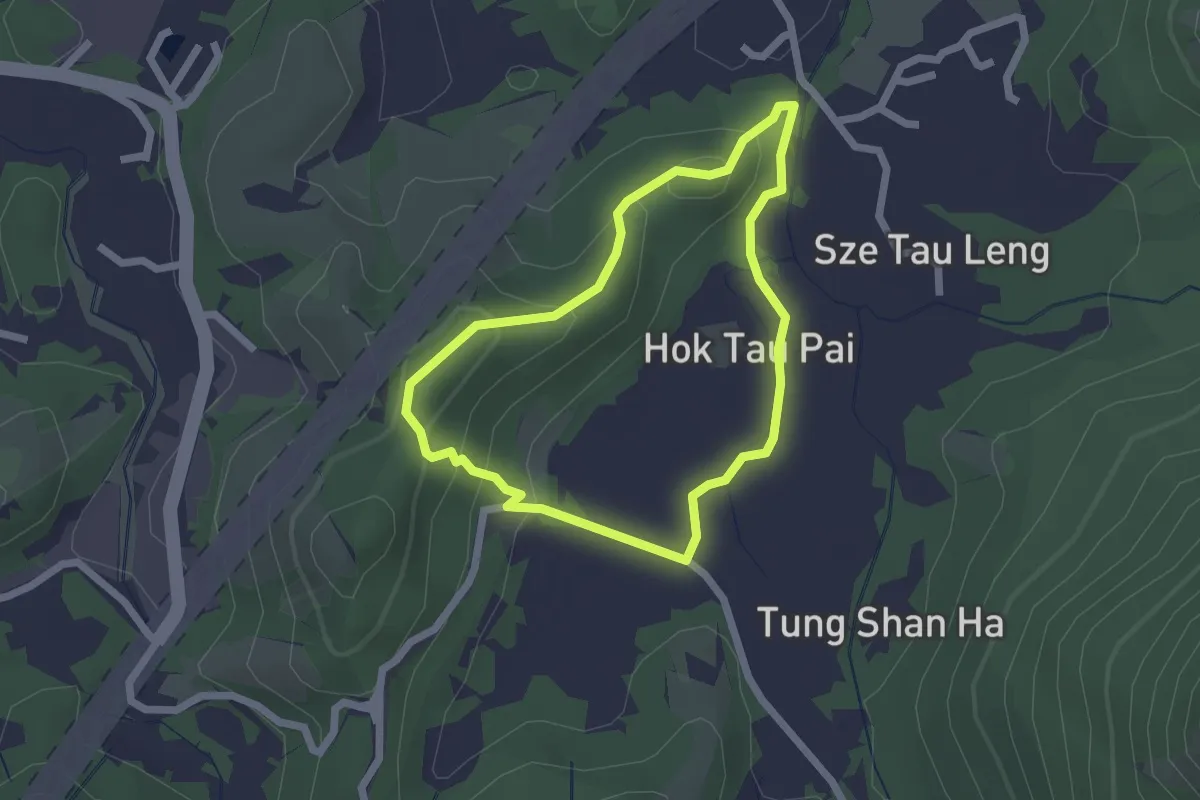
Easy · Trail
鶴藪郊遊徑 Hok Tau Country Trail
2.4 km · ↑ 104 m · 50 min
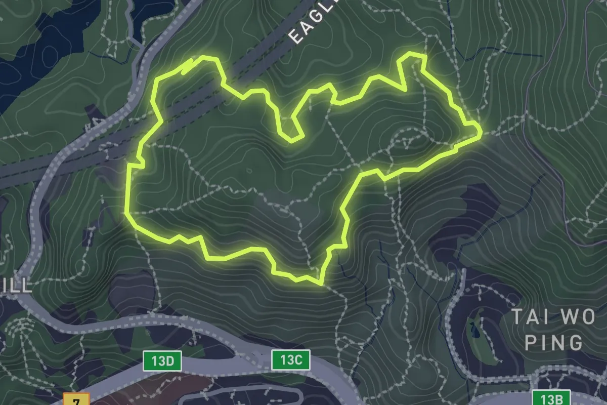
Easy · Trail
鷹巢山自然教育徑 Eagle's Nest Nature Trail
3.6 km · ↑ 268 m · 1 h 29 min
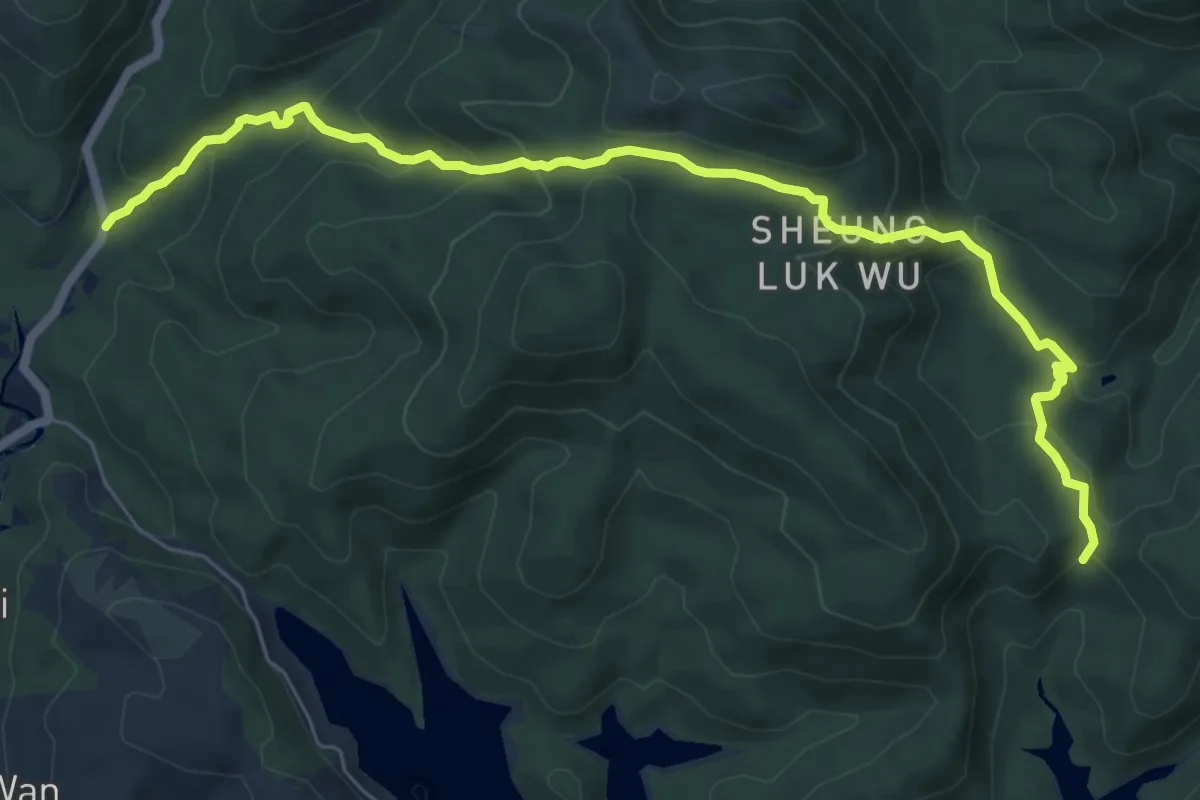
Medium · Trail
鹿湖郊遊徑 Luk Wu Country Trail
10.3 km · ↑ 589 m · 3 h 43 min
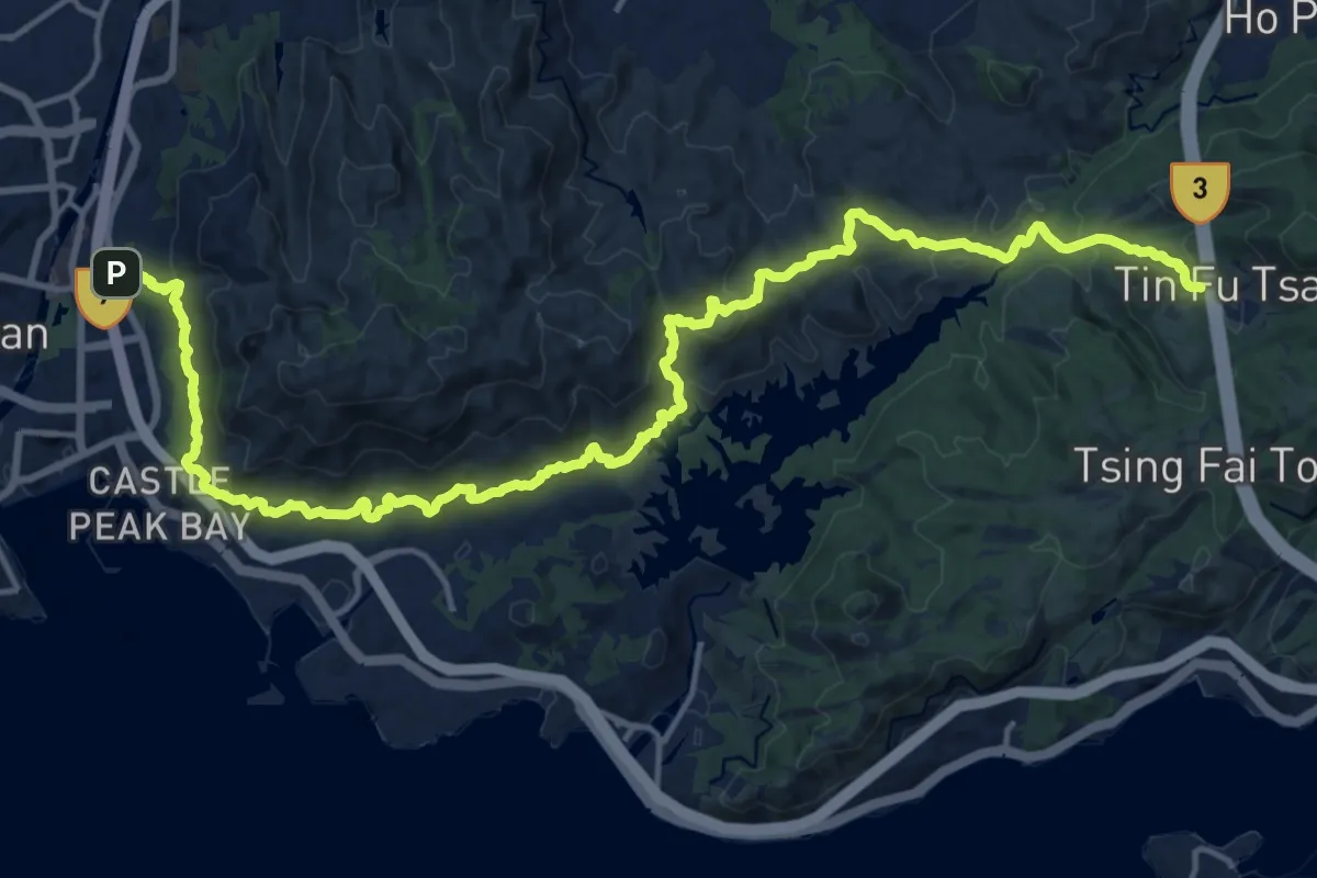
Medium · Trail
麥理浩徑第10段 MacLehose Trail Section 10
14.5 km · ↑ 676 m · 5 h 1 min
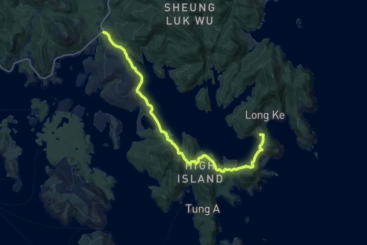
Demanding · Summit
麥理浩徑第1段 MacLehose Trail Section 1
19.7 km · ↑ 665 m · 6 h 6 min
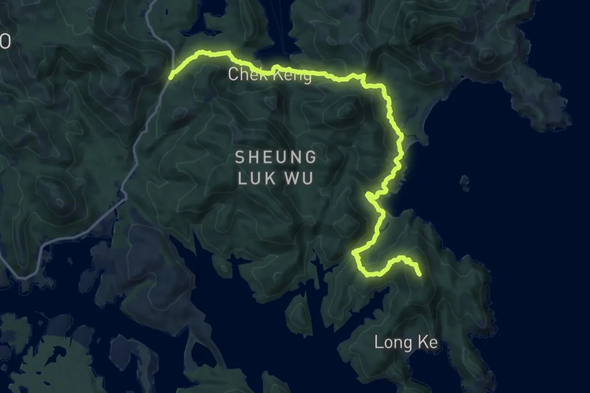
Demanding · Summit
麥理浩徑第2段 MacLehose Trail Section 2
23.1 km · ↑ 1040 m · 7 h 43 min
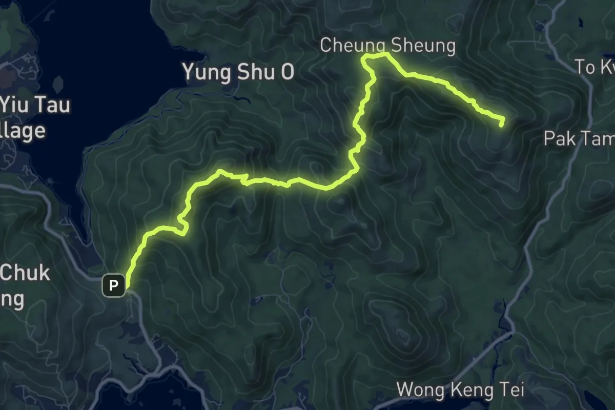
Demanding · Summit
麥理浩徑第3段 MacLehose Trail Section 3
15.7 km · ↑ 1023 m · 5 h 56 min
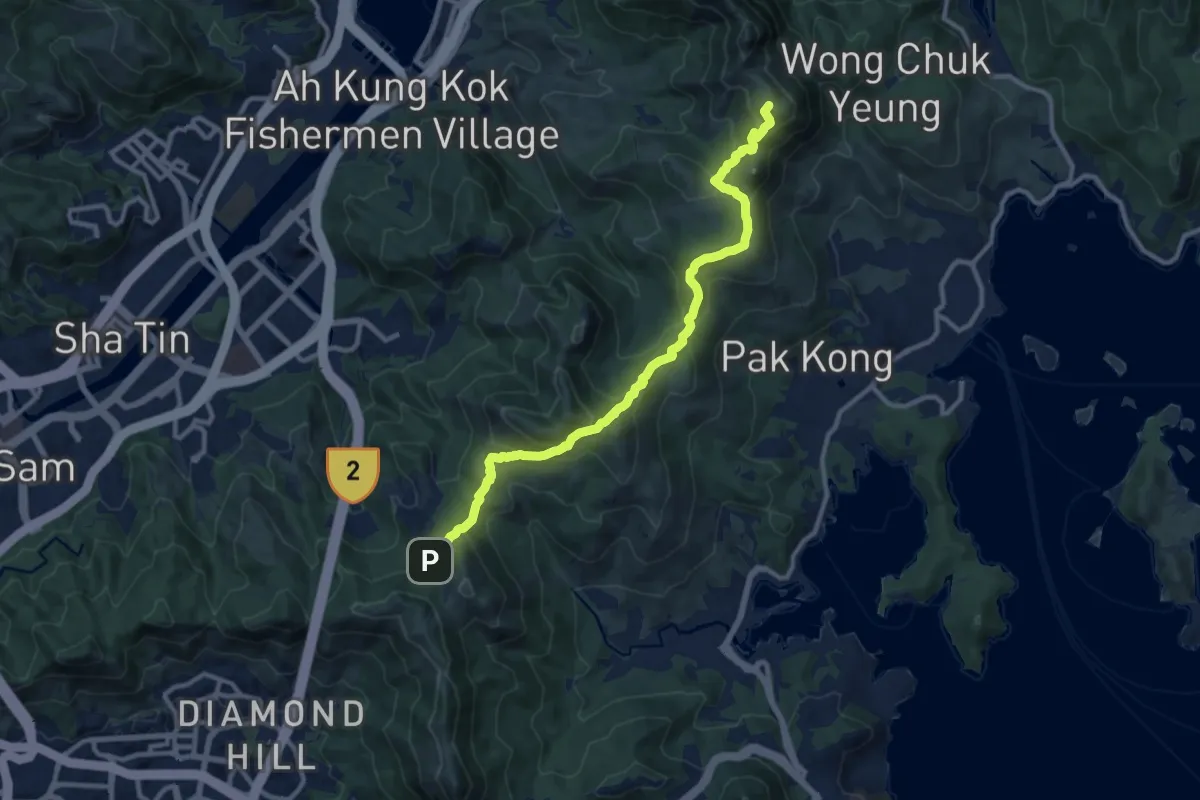
Medium · Summit
麥理浩徑第4段 MacLehose Trail Section 4
15.0 km · ↑ 729 m · 5 h 7 min
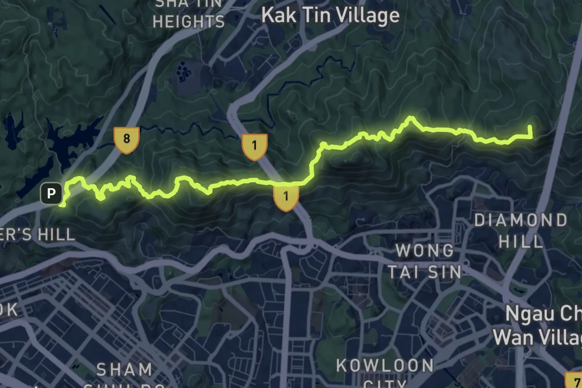
Demanding · Summit
麥理浩徑第5段 MacLehose Trail Section 5
16.2 km · ↑ 1350 m · 6 h 45 min
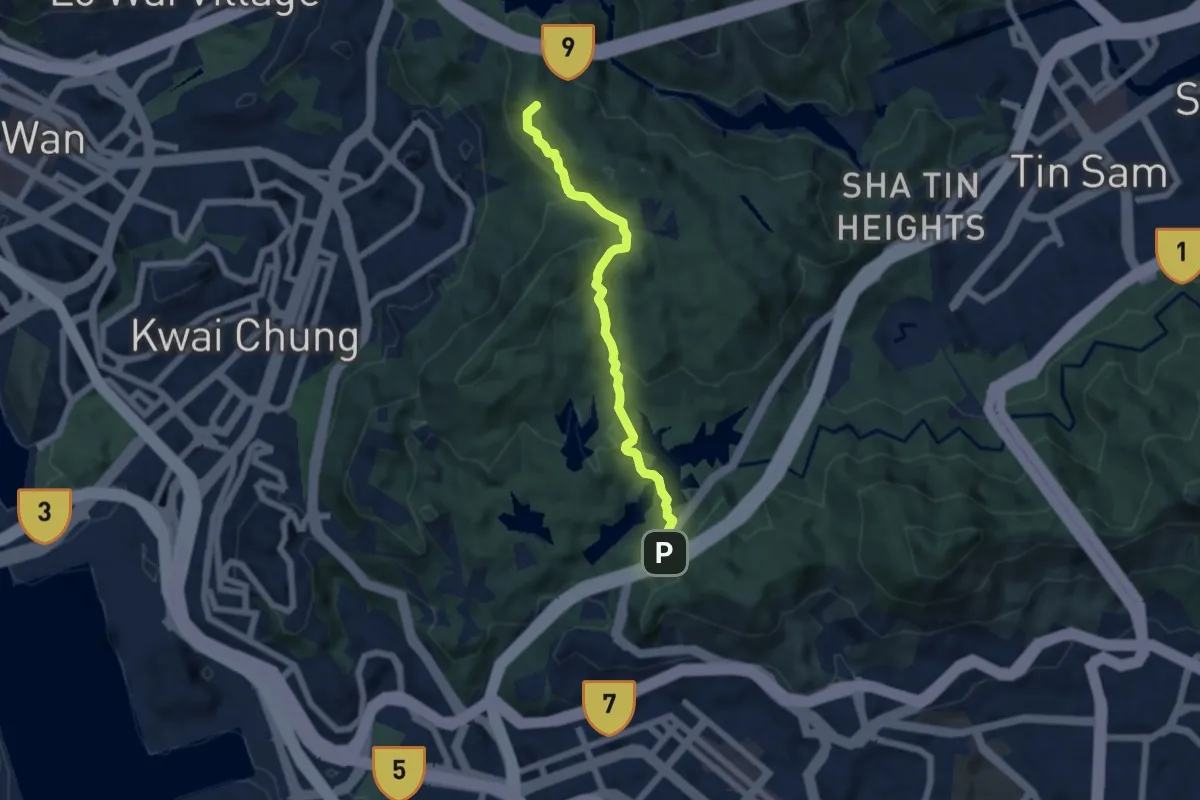
Medium · Summit
麥理浩徑第6段 MacLehose Trail Section 6
7.3 km · ↑ 511 m · 2 h 50 min
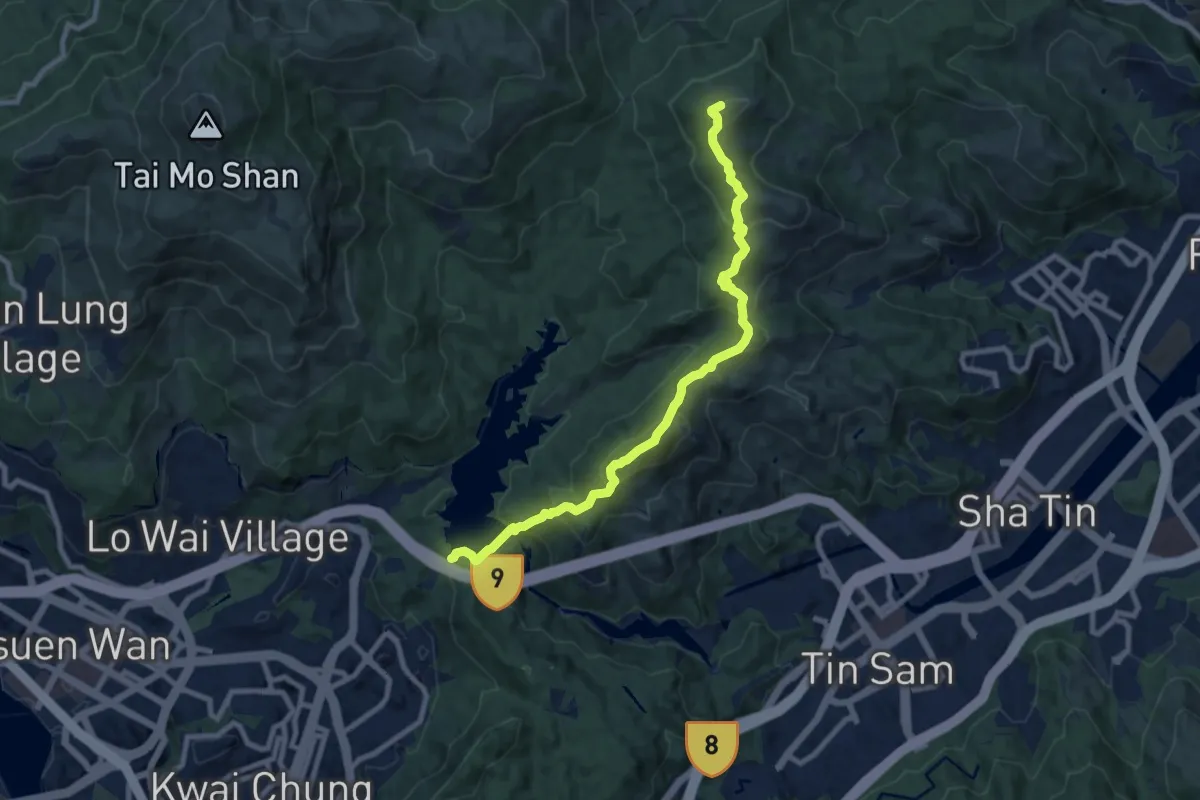
Demanding · Summit
麥理浩徑第7段 MacLehose Trail Section 7
12.0 km · ↑ 862 m · 4 h 42 min
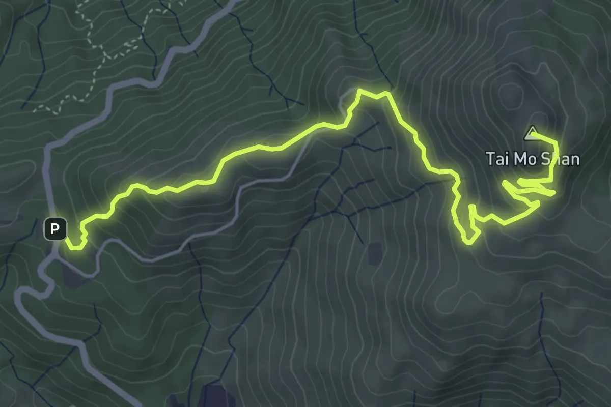
Medium · Summit
麥理浩徑第8段 MacLehose Trail Section 8
8.5 km · ↑ 523 m · 3 h 8 min
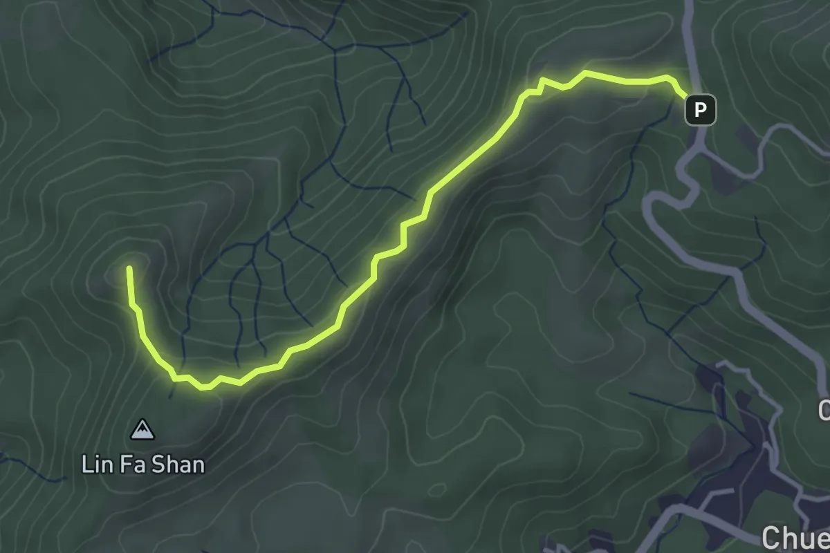
Easy · Summit
麥理浩徑第9段 MacLehose Trail Section 9
4.9 km · ↑ 159 m · 1 h 30 min
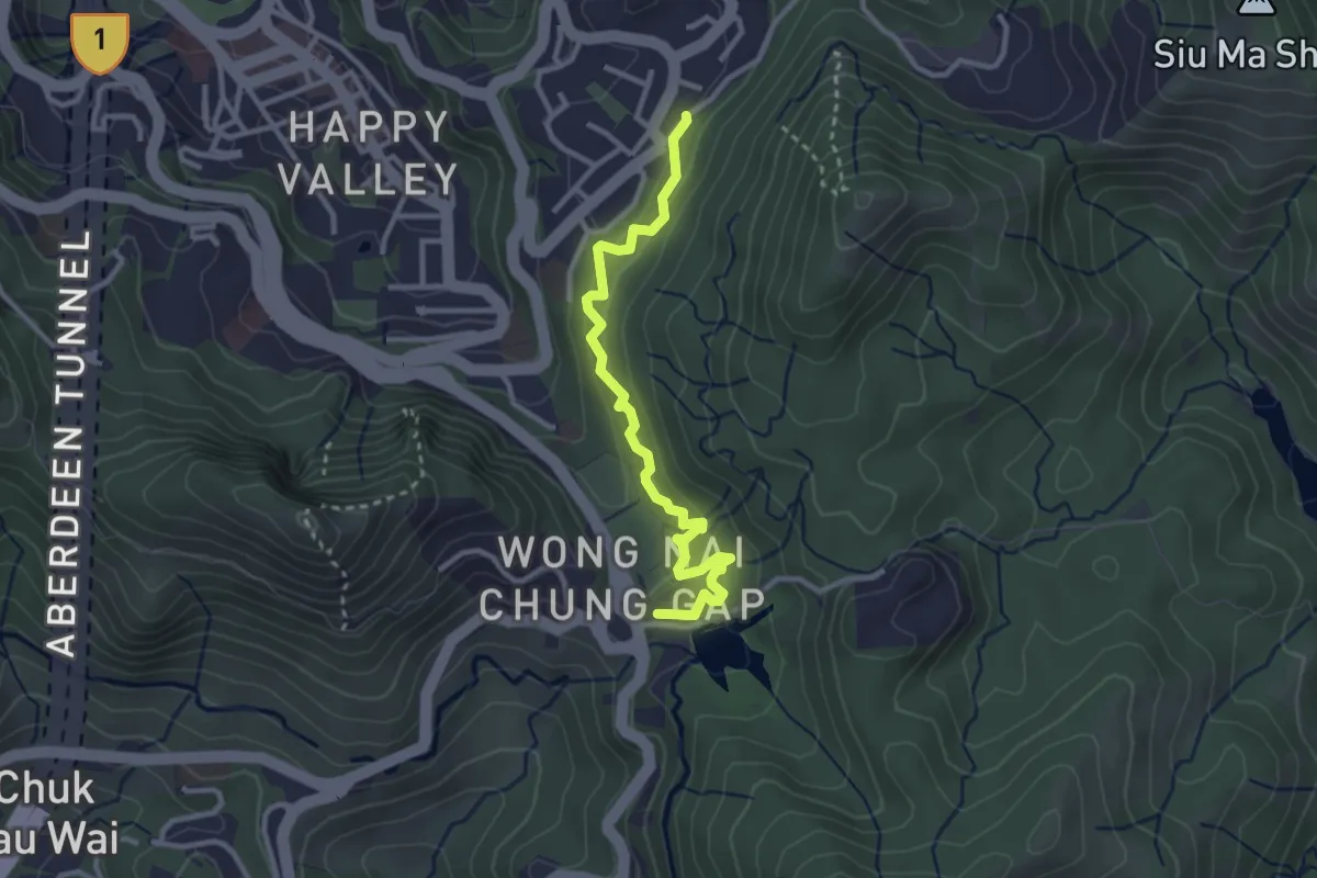
Easy · Trail
黃泥涌樹木研習徑 Wong Nai Chung Tree Walk
4.1 km · ↑ 266 m · 1 h 32 min
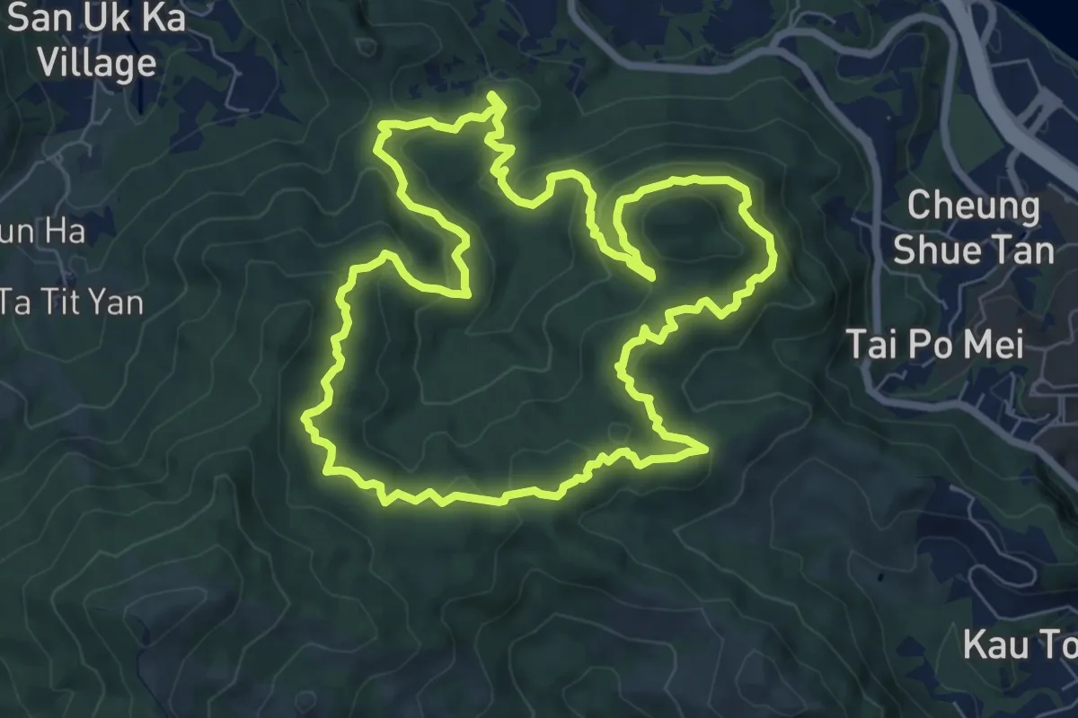
Medium · Summit
黃路 Yellow Walk
10.1 km · ↑ 496 m · 3 h 36 min
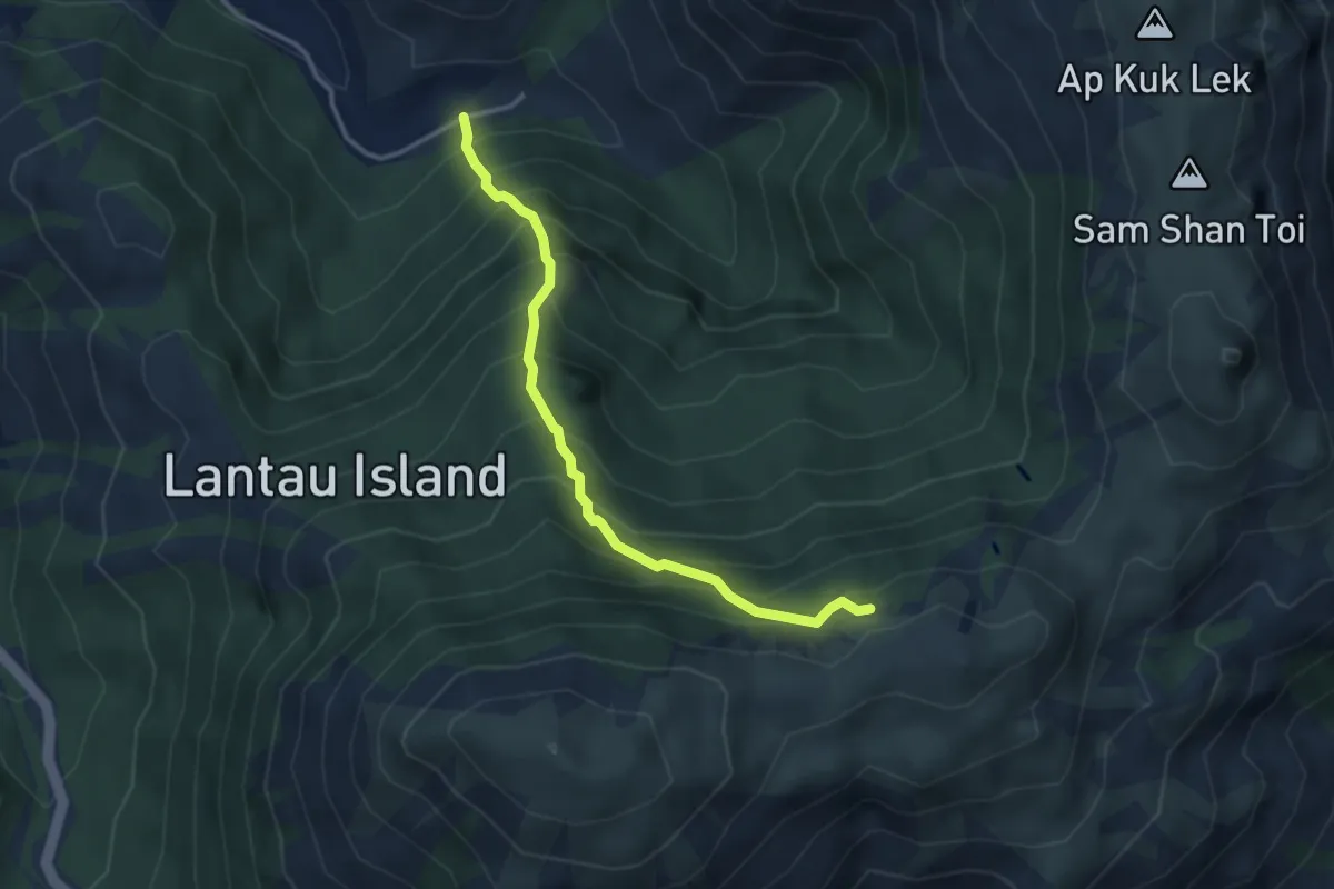
Medium · Trail
黃龍坑郊遊徑 Wong Lung Hang Country Trail
4.3 km · ↑ 629 m · 2 h 22 min
Easy · Summit
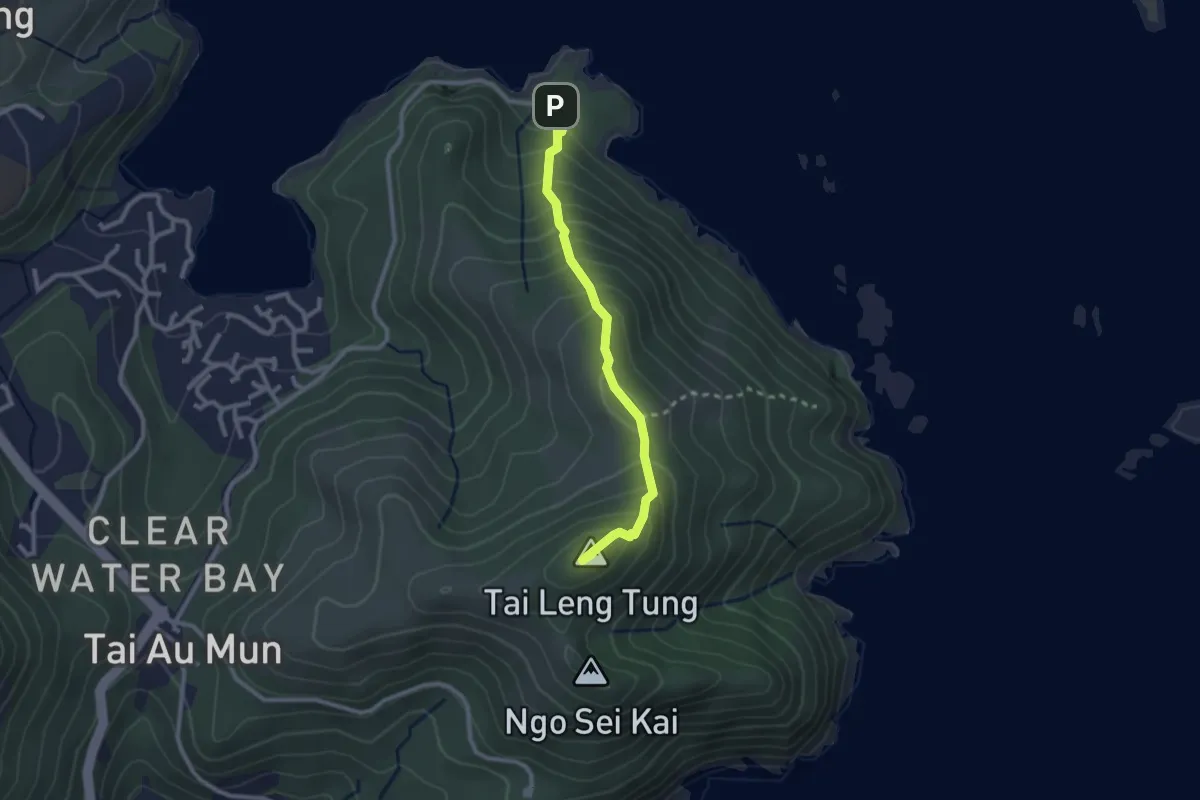
龍蝦灣郊遊徑 Lung Ha Wan Country Trail
3.1 km · ↑ 273 m · 1 h 20 min
Easy · Summit
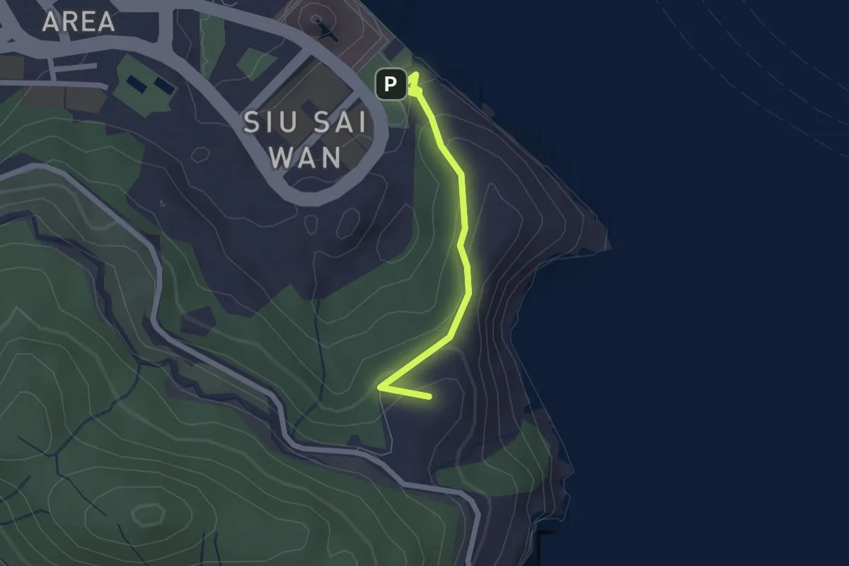
龍躍徑 Leaping Dragon Walk
2.4 km · ↑ 133 m · 52 min
Easy · Summit
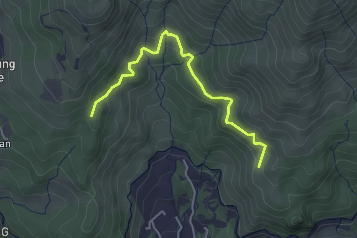
龍門郊遊徑 Lung Mun Country Trail
4.5 km · ↑ 206 m · 1 h 30 min