Trails near Hévíz
40 hikes starting within 15 km, nearest first.
Nearest first
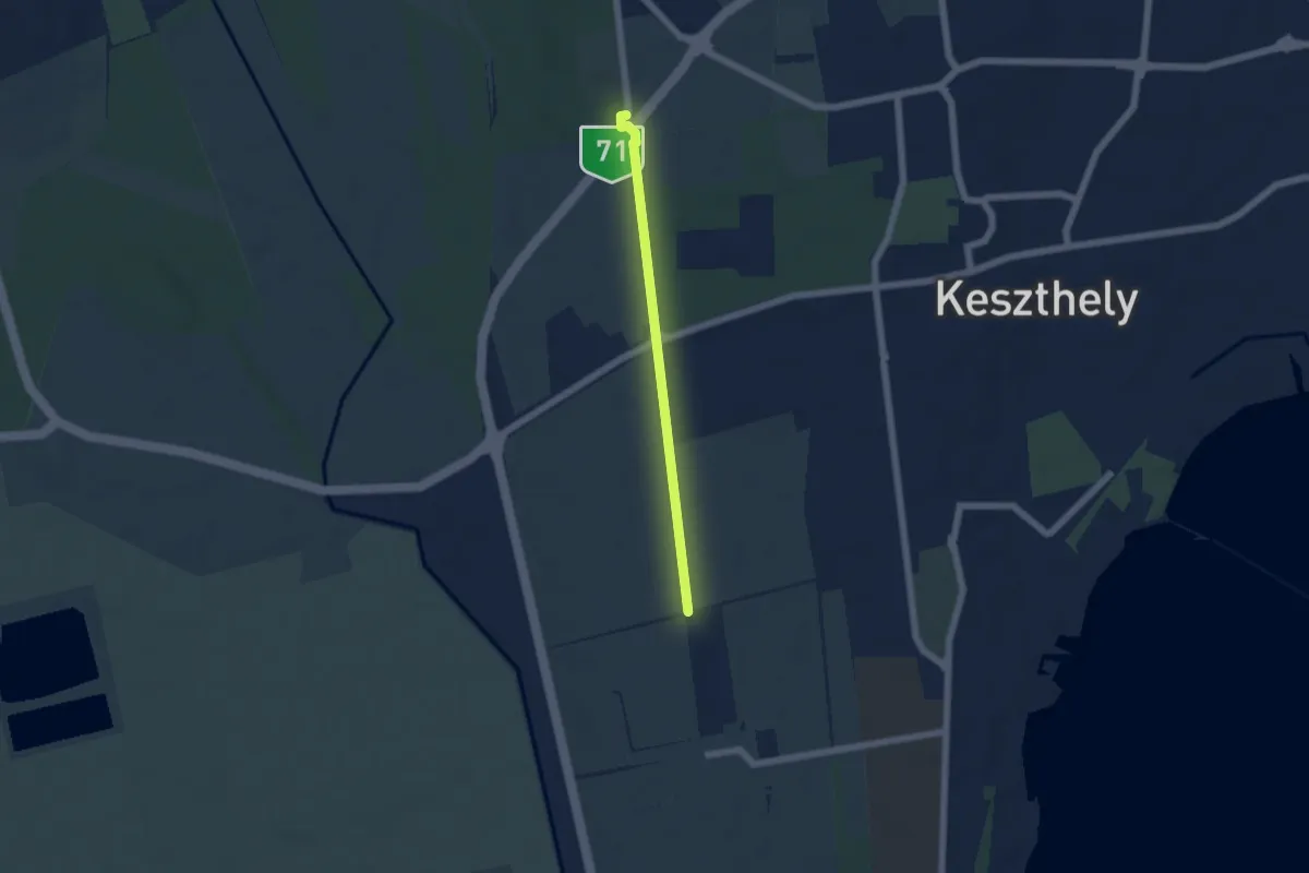
Easy · Trail
Z+
4.6 km · ↑ 17 m · 1 h 7 min · 3 km away
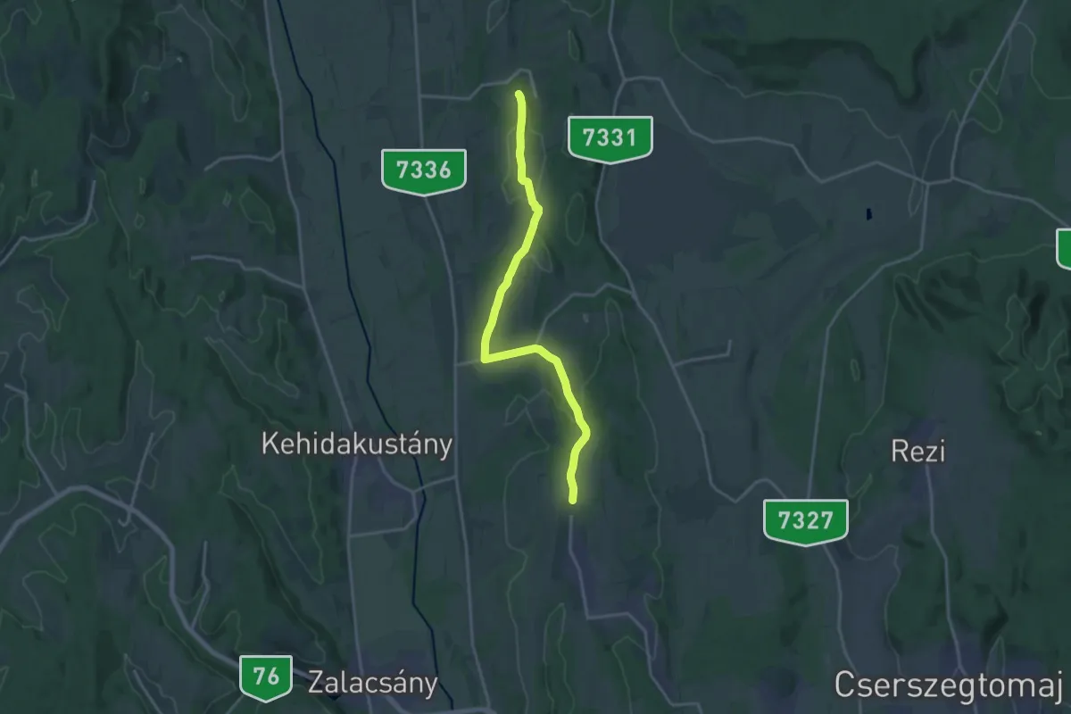
Medium · Trail
S+ (Sénye-Nemesbük)
17.4 km · ↑ 305 m · 4 h 46 min · 6 km away
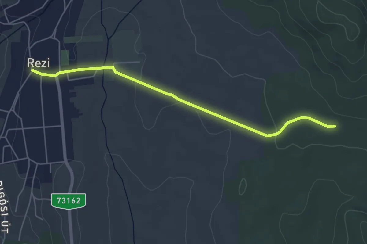
Easy · Trail
K+
4.5 km · ↑ 41 m · 1 h 10 min · 6 km away
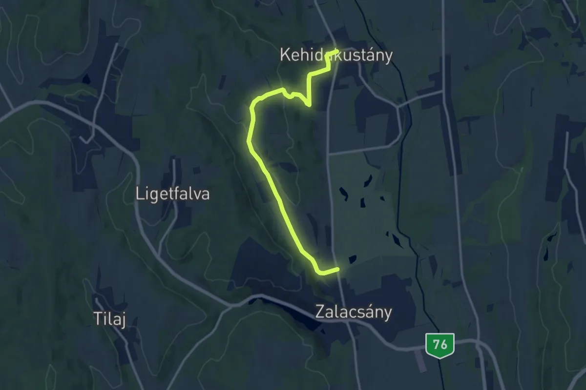
Medium · Trail
P+ (Zalacsány-Kehidakustány)
11.1 km · ↑ 256 m · 3 h 11 min · 7 km away
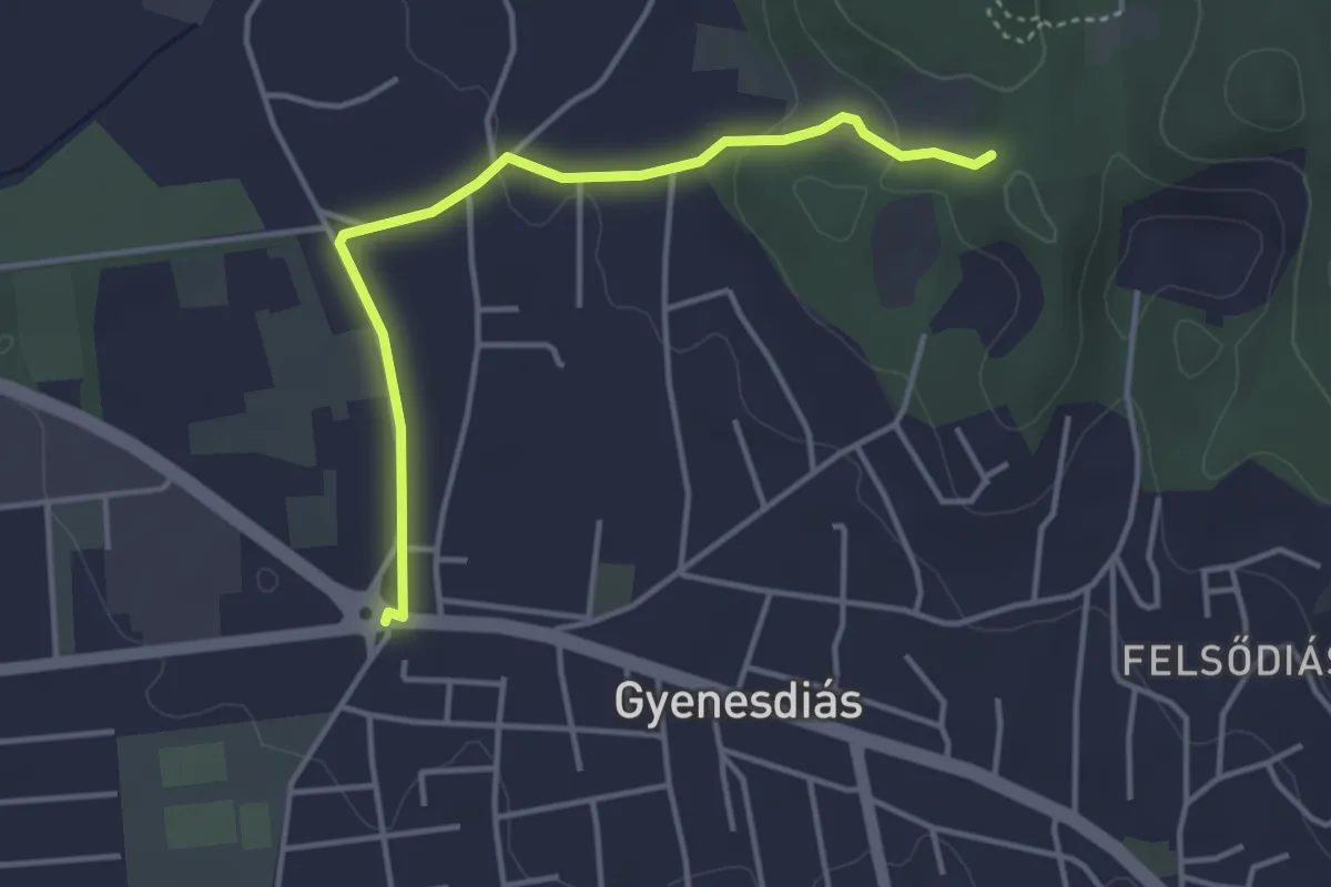
Easy · Trail
K+ (Gyenesdiás)
3.8 km · ↑ 69 m · 1 h 3 min · 7 km away
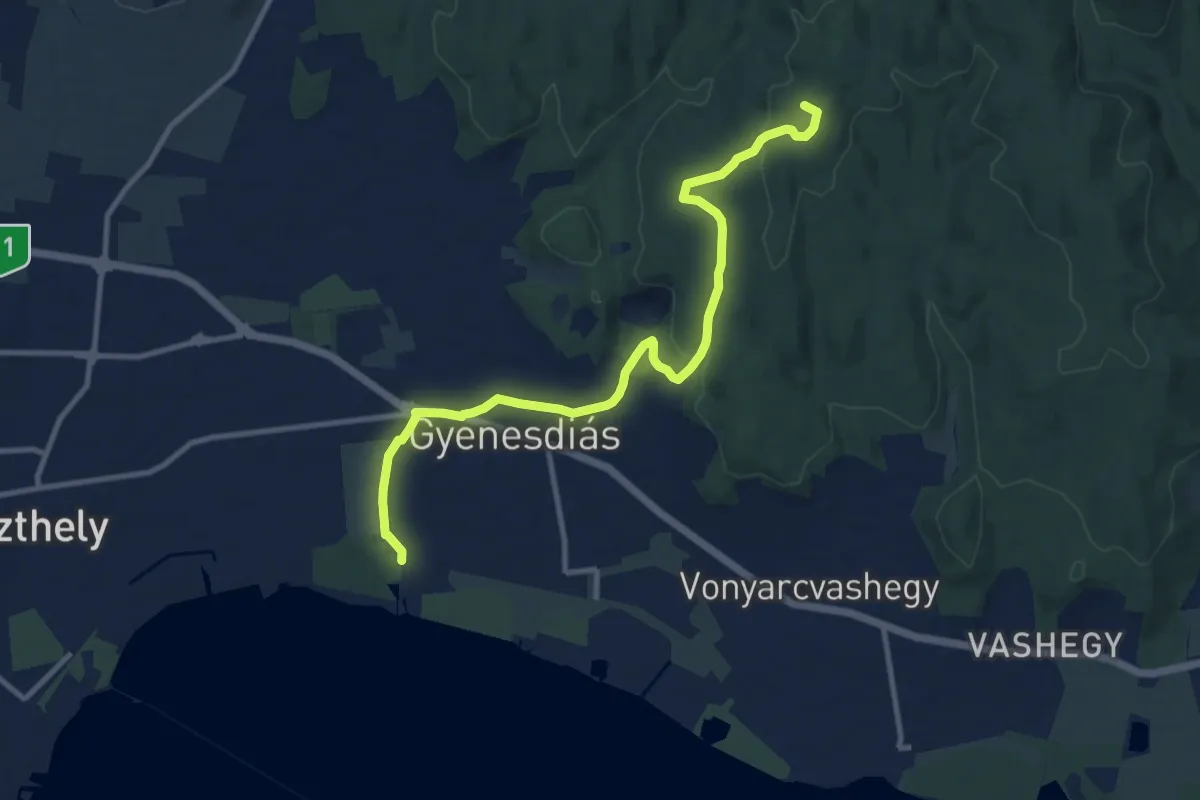
Medium · Summit
S (Balatongyörök – Büdöskút – Gyenesdiás)
11.1 km · ↑ 263 m · 3 h 12 min · 8 km away
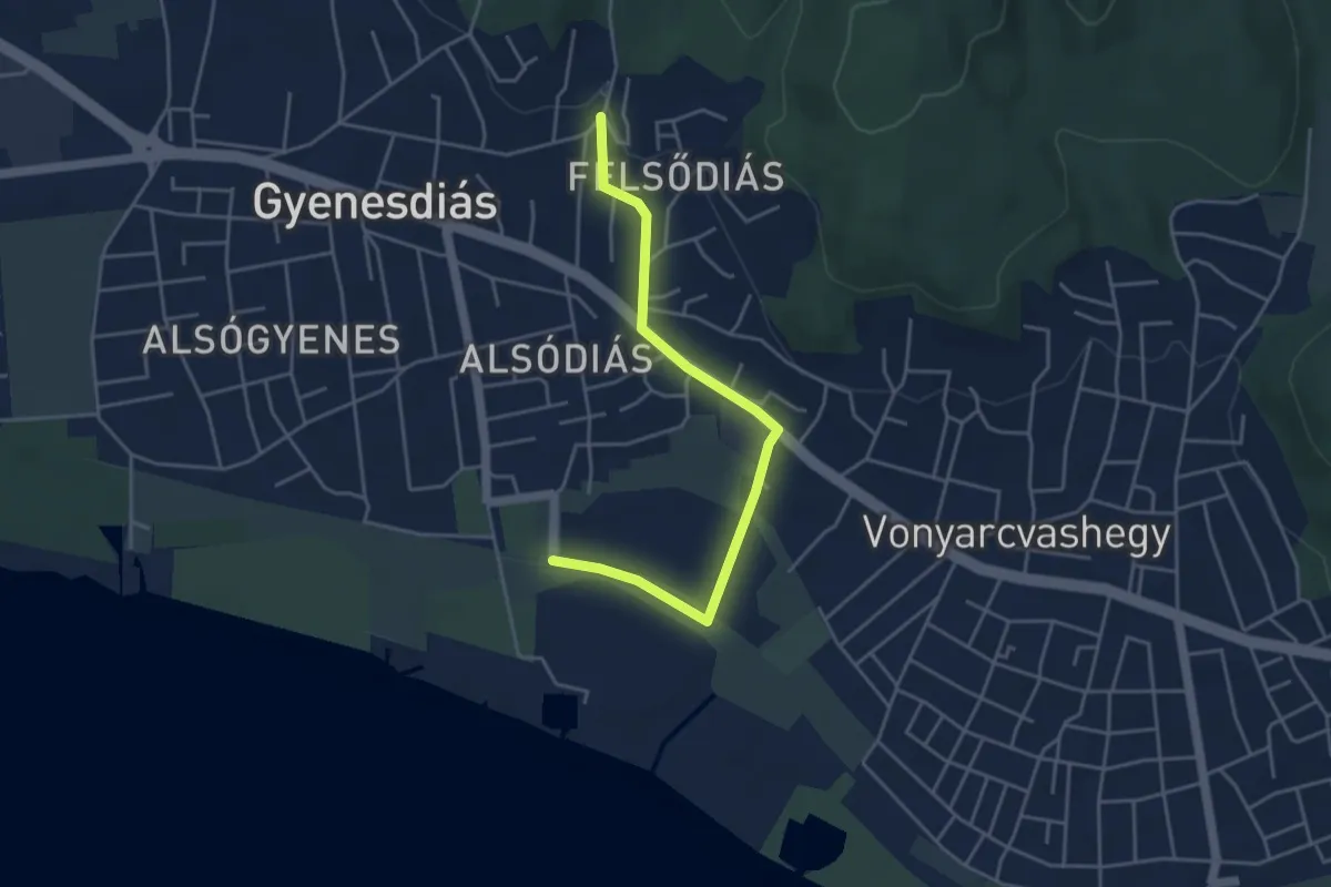
Easy · Trail
S● (Dornay-emlékút – források – Gyenesdiás, vá.)
4.4 km · ↑ 51 m · 1 h 8 min · 9 km away
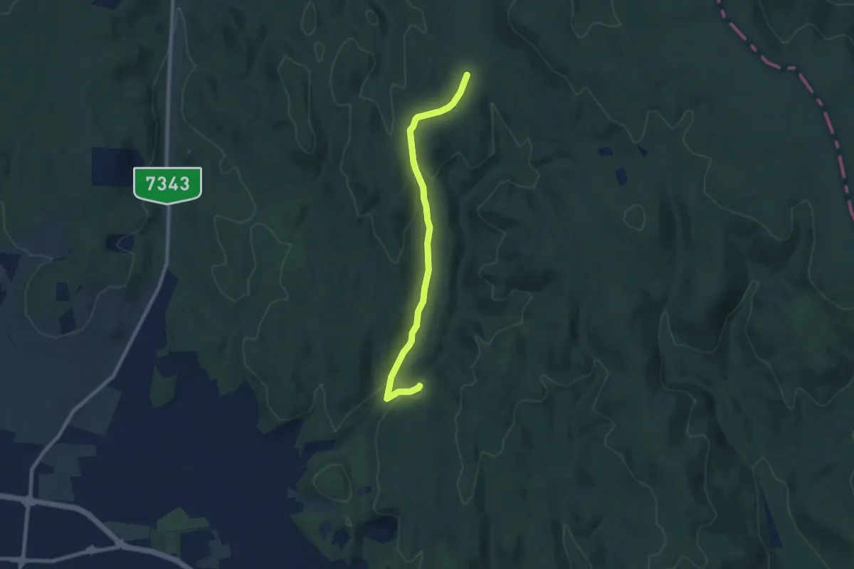
Easy · Trail
K+
7.5 km · ↑ 189 m · 2 h 11 min · 9 km away
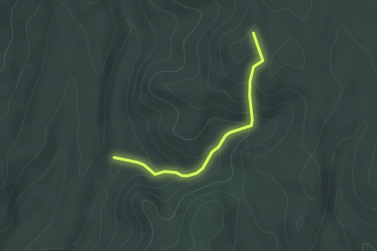
Easy · Summit
P+ (Csinder-völgy – Pajta-völgy – Szék-tető)
2.7 km · ↑ 150 m · 58 min · 9 km away
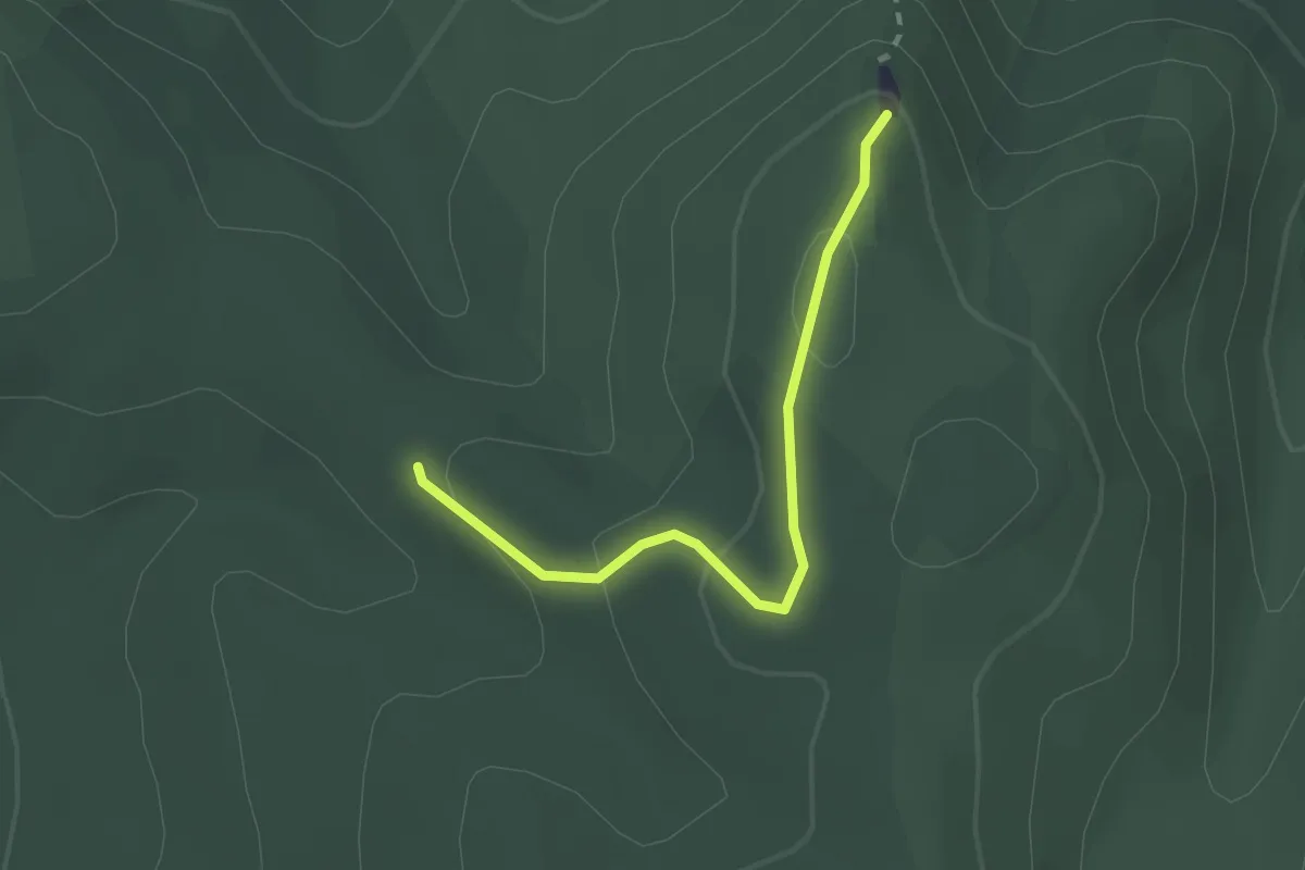
Easy · Trail
K▙
2.1 km · ↑ 98 m · 42 min · 9 km away
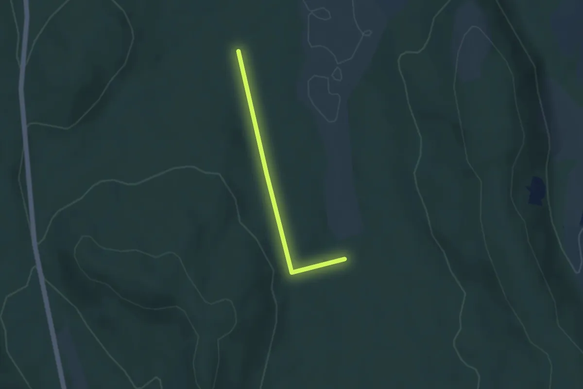
Easy · Trail
S+
2.6 km · ↑ 38 m · 41 min · 10 km away
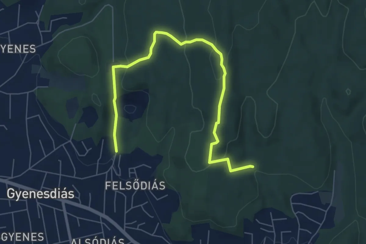
Easy · Trail
S+ (Gyenesdiás - Nagymező - Vonyarcvashegy)
7.0 km · ↑ 228 m · 2 h 9 min · 10 km away
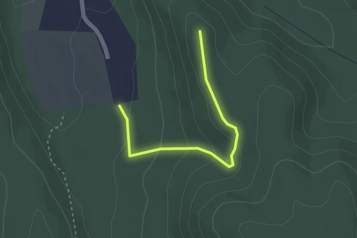
Easy · Trail
K▲ (Vállus - Láz-tető)
2.5 km · ↑ 91 m · 47 min · 11 km away
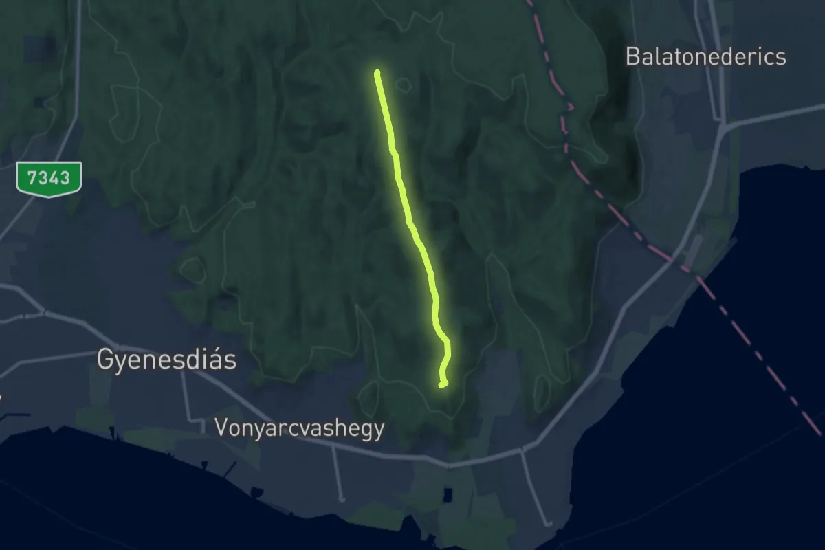
Medium · Summit
Z+ (Pad-kő – Szentmihály-domb)
8.9 km · ↑ 179 m · 2 h 29 min · 11 km away
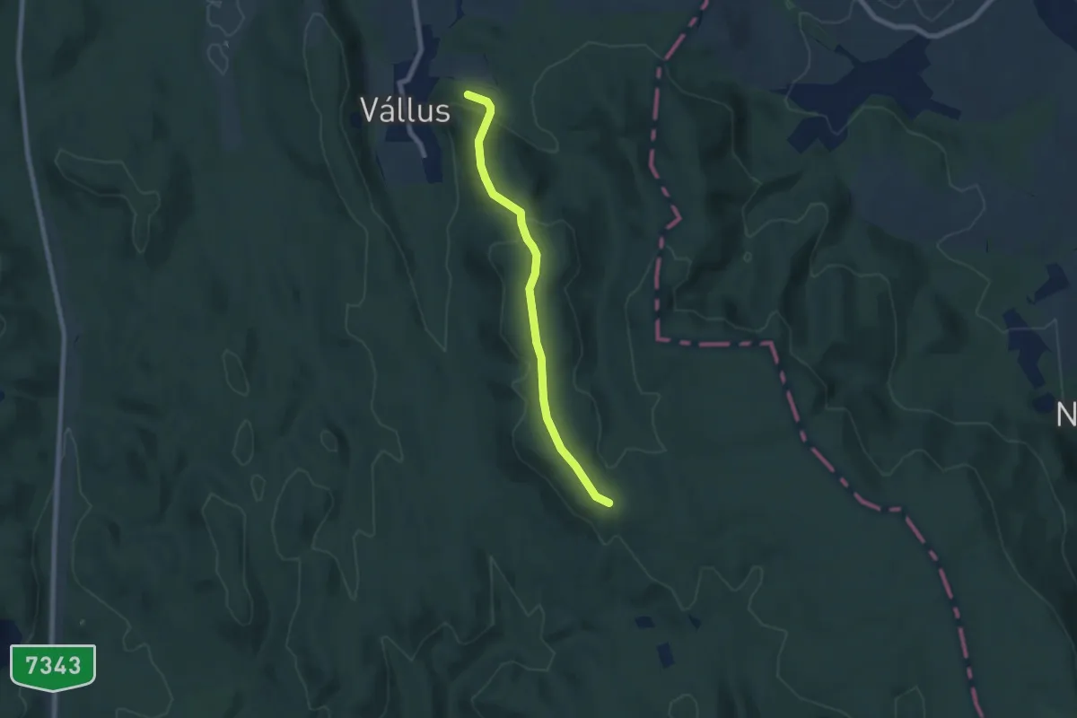
Easy · Trail
Z▲ (Láz-hegyi kilátó)
6.5 km · ↑ 189 m · 1 h 57 min · 11 km away
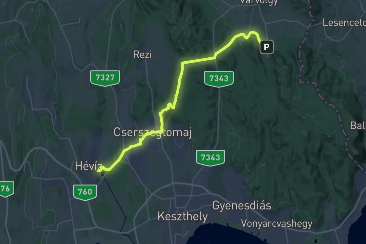
Medium · Trail
S
14.5 km · ↑ 235 m · 4 h 11 min · 11 km away
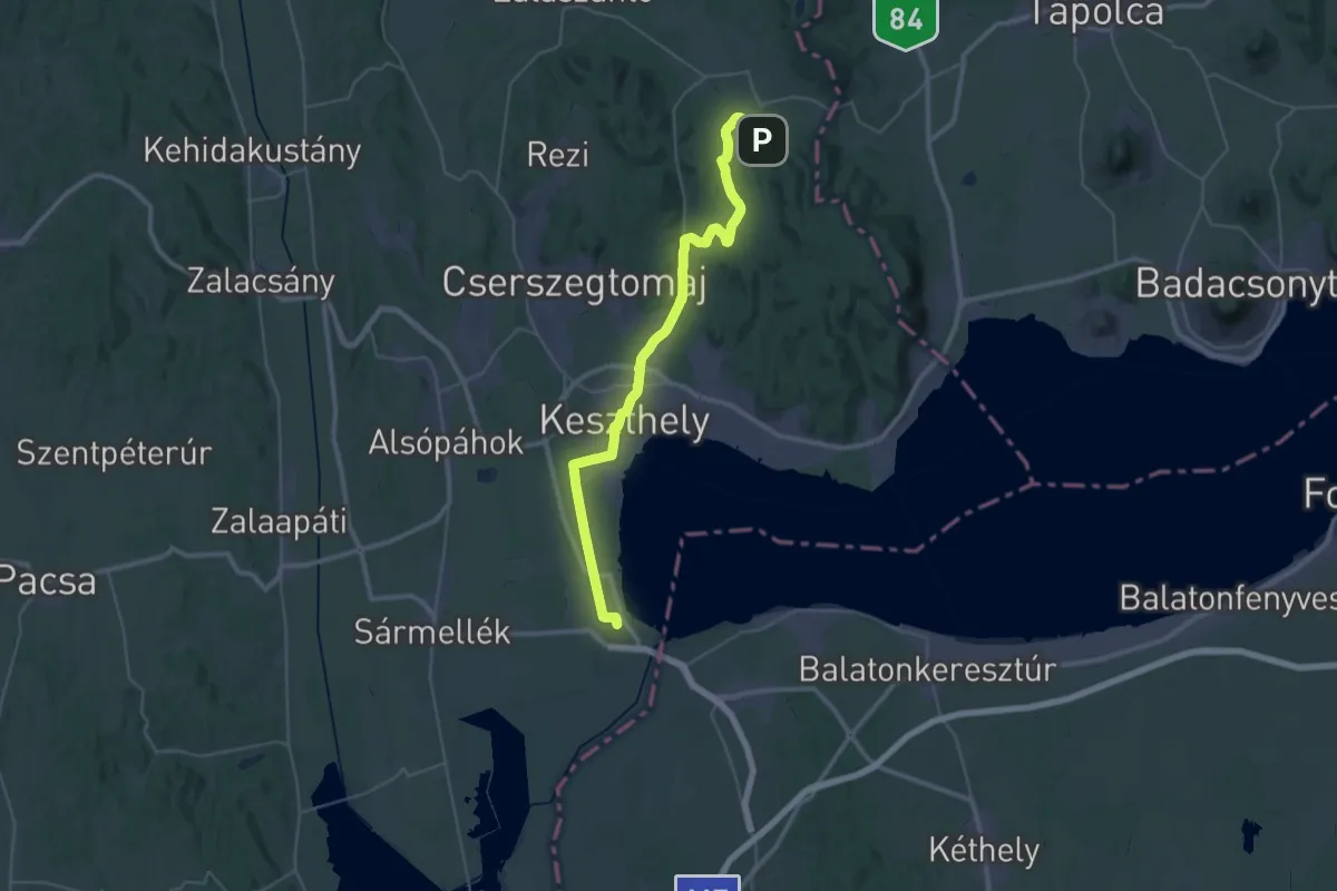
Demanding · Trail
Z (Vállus - Keszthely - Fenékpuszta)
21.8 km · ↑ 129 m · 5 h 47 min · 11 km away
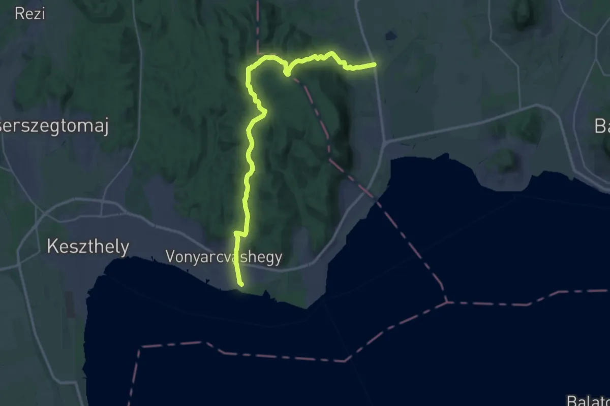
Medium · Trail
Z (Nemesvita – Büdös-kút – Vonyarcvashegy)
14.8 km · ↑ 397 m · 4 h 34 min · 11 km away
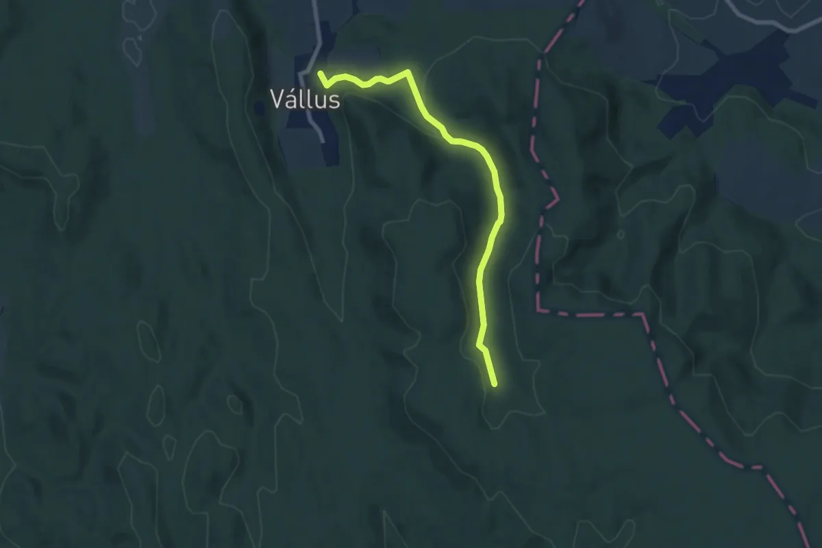
Easy · Trail
Z+
7.0 km · ↑ 147 m · 1 h 59 min · 11 km away
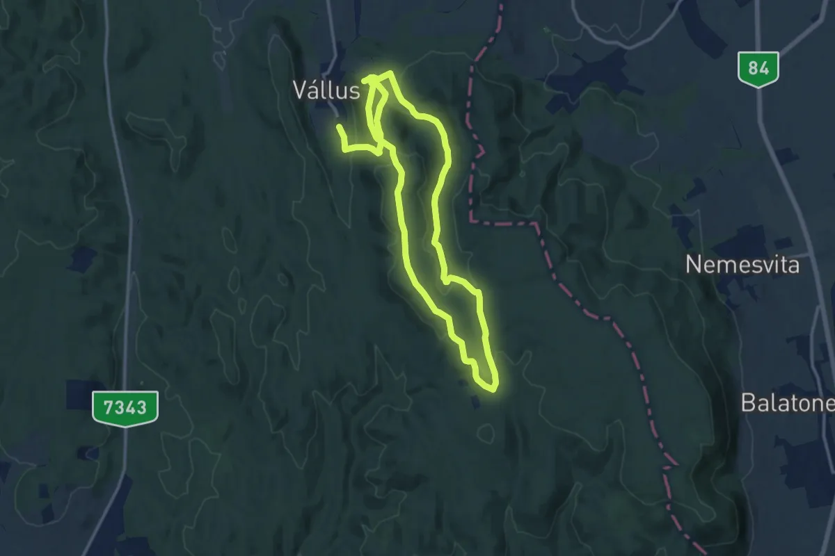
Demanding · Trail
ZT, Medvehagyma tanösvény
22.1 km · ↑ 632 m · 6 h 35 min · 11 km away
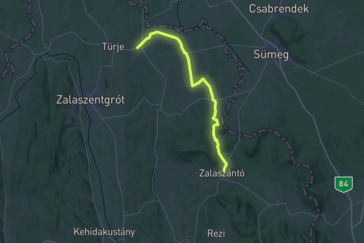
Demanding · Trail
Z (Zalaszántó-Türje)
18.8 km · ↑ 213 m · 5 h 10 min · 12 km away
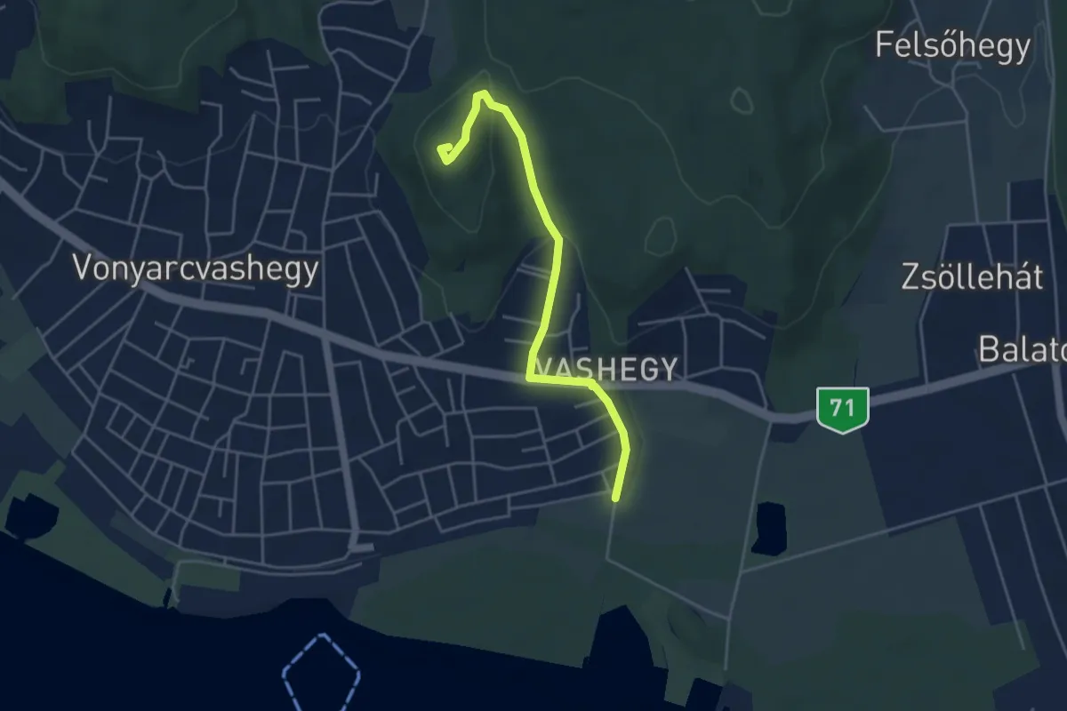
Easy · Summit
Z▲ (Vonyarcvashegy – Vas-hegy, Kitaibel P.-kilátó – 71. sz. országút)
4.2 km · ↑ 116 m · 1 h 15 min · 12 km away
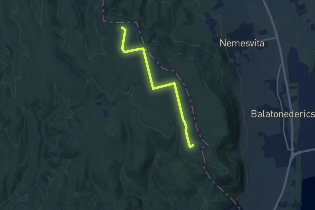
Medium · Summit
P+ (Bélap-völgy – Cser-tető)
8.5 km · ↑ 68 m · 2 h 9 min · 12 km away
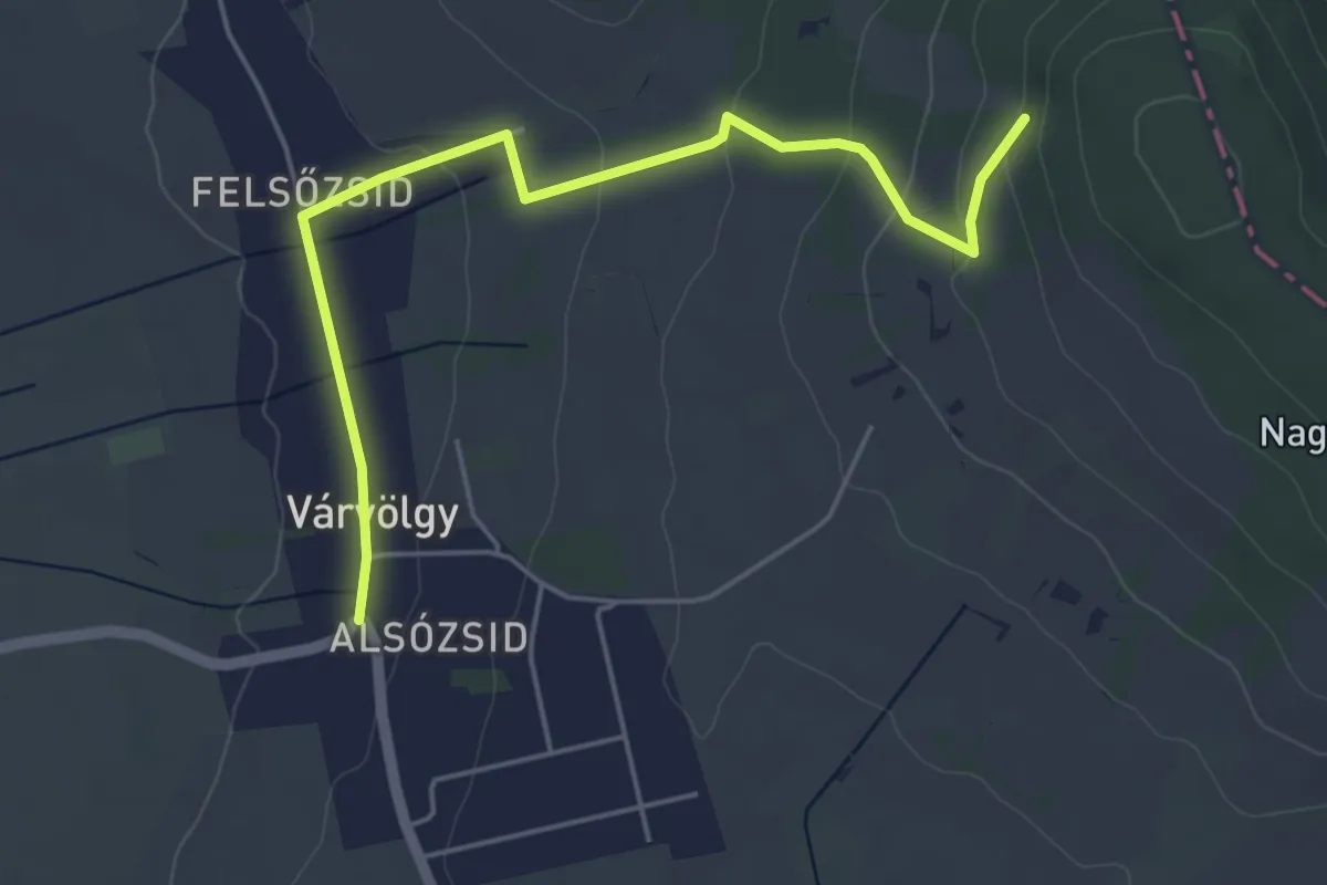
Easy · Trail
P■
5.2 km · ↑ 144 m · 1 h 33 min · 12 km away
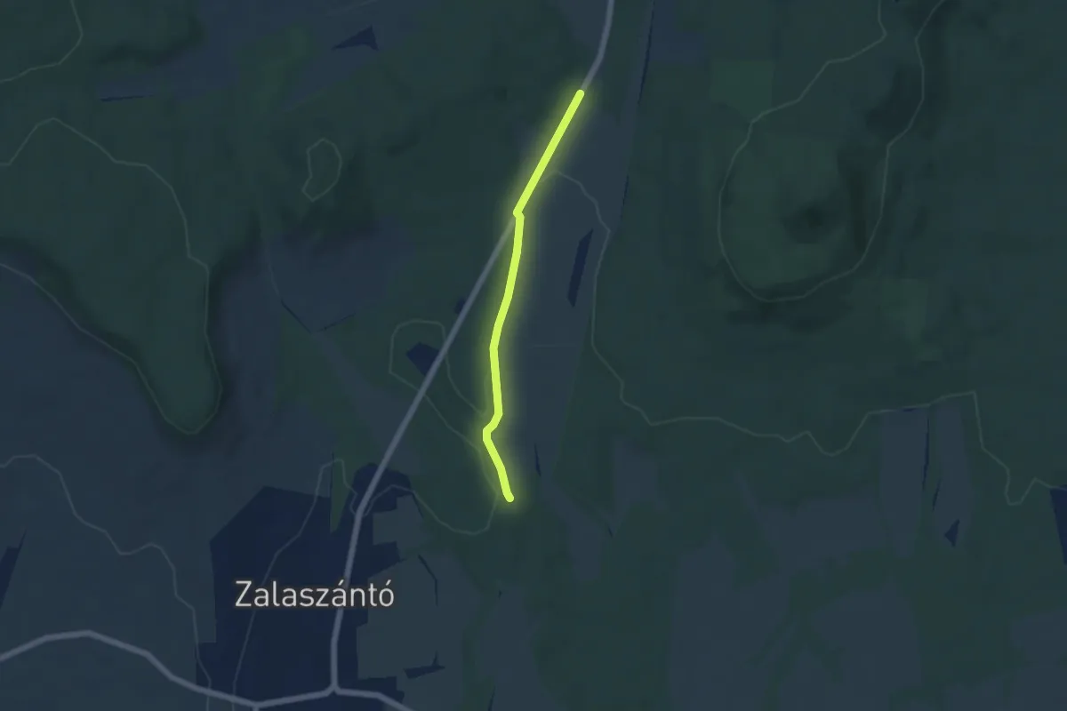
Easy · Trail
K▙ (Zalaszántó)
4.5 km · ↑ 69 m · 1 h 12 min · 12 km away
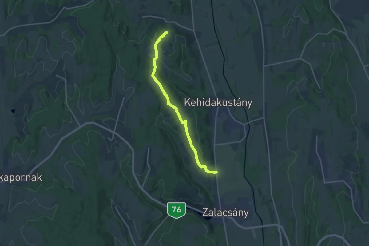
Medium · Trail
Mackó út
13.3 km · ↑ 242 m · 3 h 39 min · 12 km away
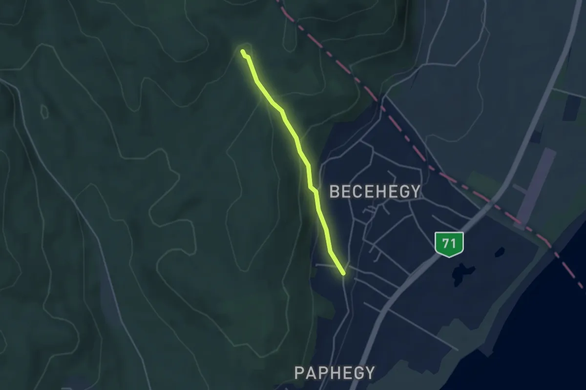
Easy · Trail
Z+ (Kalosza-völgy)
3.1 km · ↑ 144 m · 1 h 2 min · 13 km away
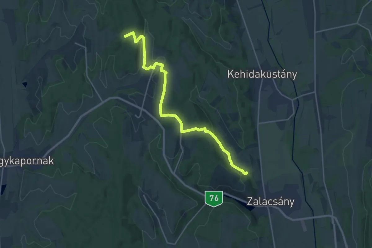
Medium · Trail
P■ (Almásháza-Ligetfalva-Zalacsány)
16.6 km · ↑ 373 m · 4 h 43 min · 13 km away
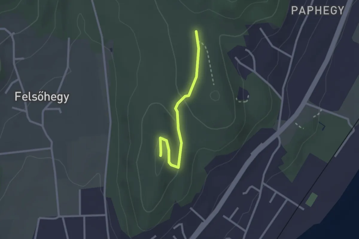
Easy · Summit
S▲ (Garga-hegy)
2.1 km · ↑ 35 m · 34 min · 13 km away
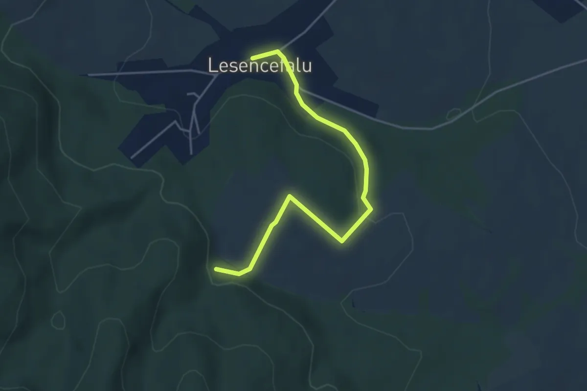
Easy · Trail
P+ Lesencefalu
4.2 km · ↑ 77 m · 1 h 10 min · 13 km away
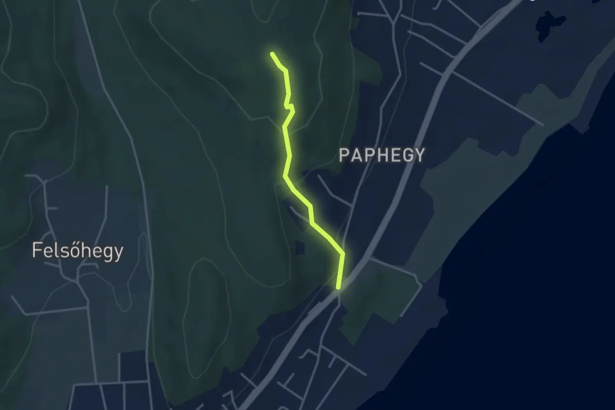
Easy · Trail
P▲ (Pap-hegy)
2.5 km · ↑ 142 m · 54 min · 13 km away
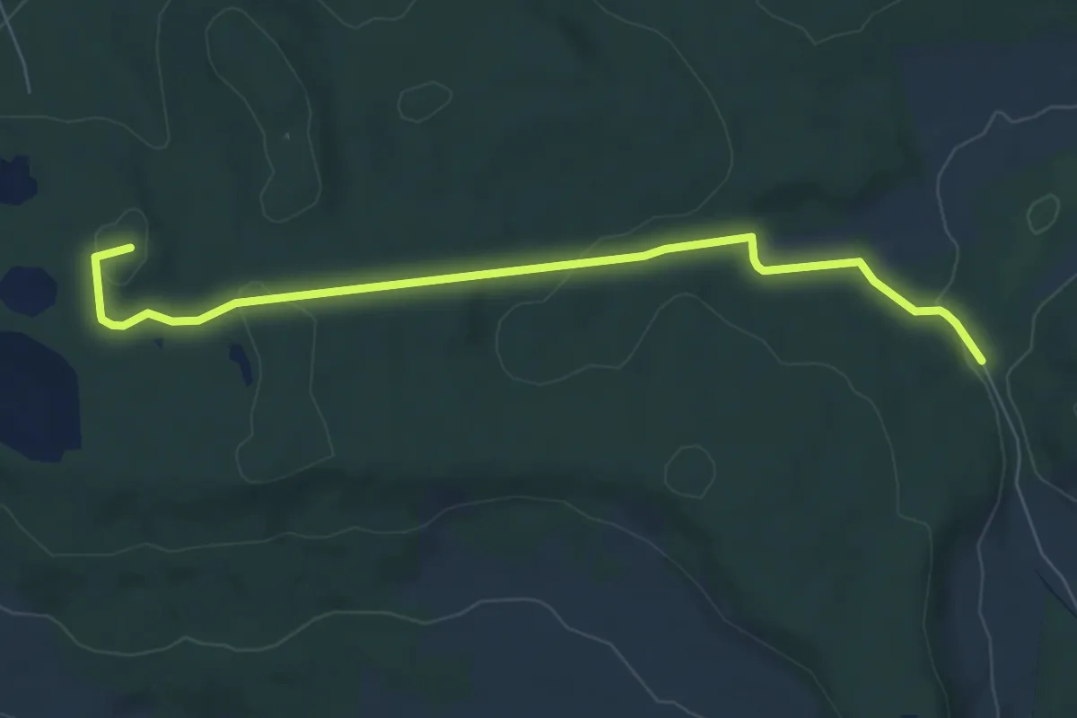
Easy · Summit
K+ (Vindornyaszőlős)
7.1 km · ↑ 139 m · 1 h 58 min · 13 km away
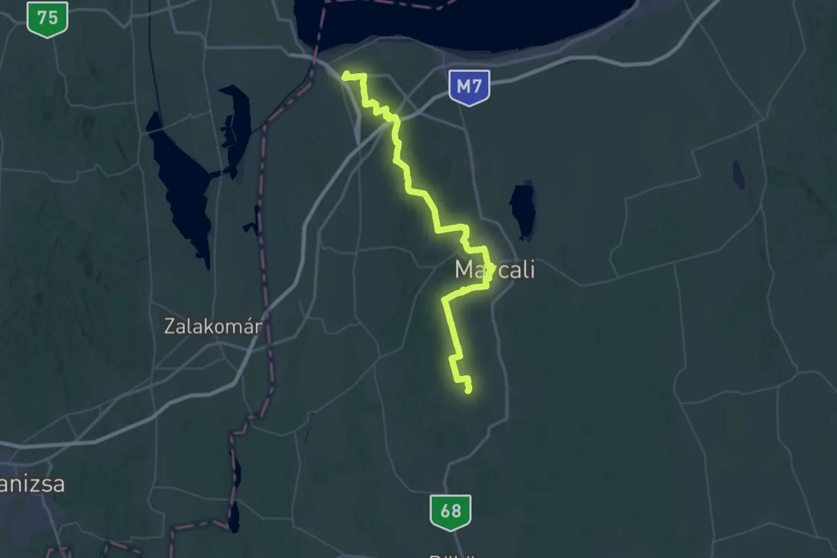
Demanding · Trail
Z (Balatonszentgyörgy – Marcali - Gadány – RPDDK)
34.1 km · ↑ 347 m · 9 h 14 min · 13 km away
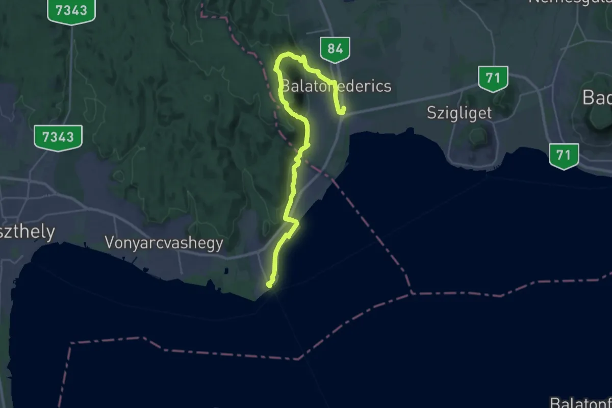
Demanding · Trail
Z (Balatonederics, v.mh. – Szabad-hegy, megyehatár - Balatongyörök v.á)
25.3 km · ↑ 665 m · 7 h 24 min · 14 km away
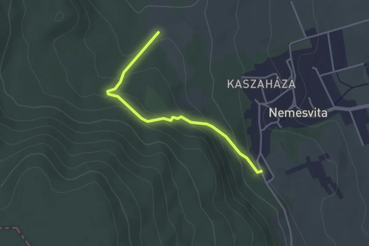
Easy · Trail
P▲ (Tücsökdombi kilátó)
3.1 km · ↑ 149 m · 1 h 3 min · 14 km away
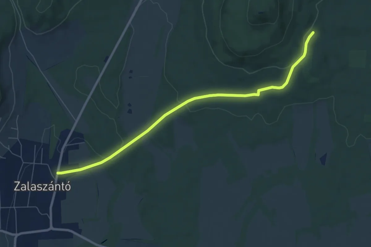
Easy · Trail
K+
7.4 km · ↑ 136 m · 2 h 2 min · 14 km away
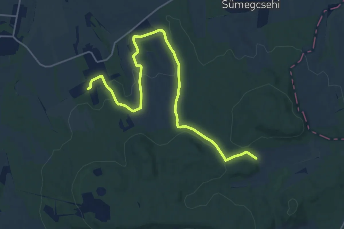
Medium · Trail
Z+
14.4 km · ↑ 307 m · 4 h 4 min · 14 km away
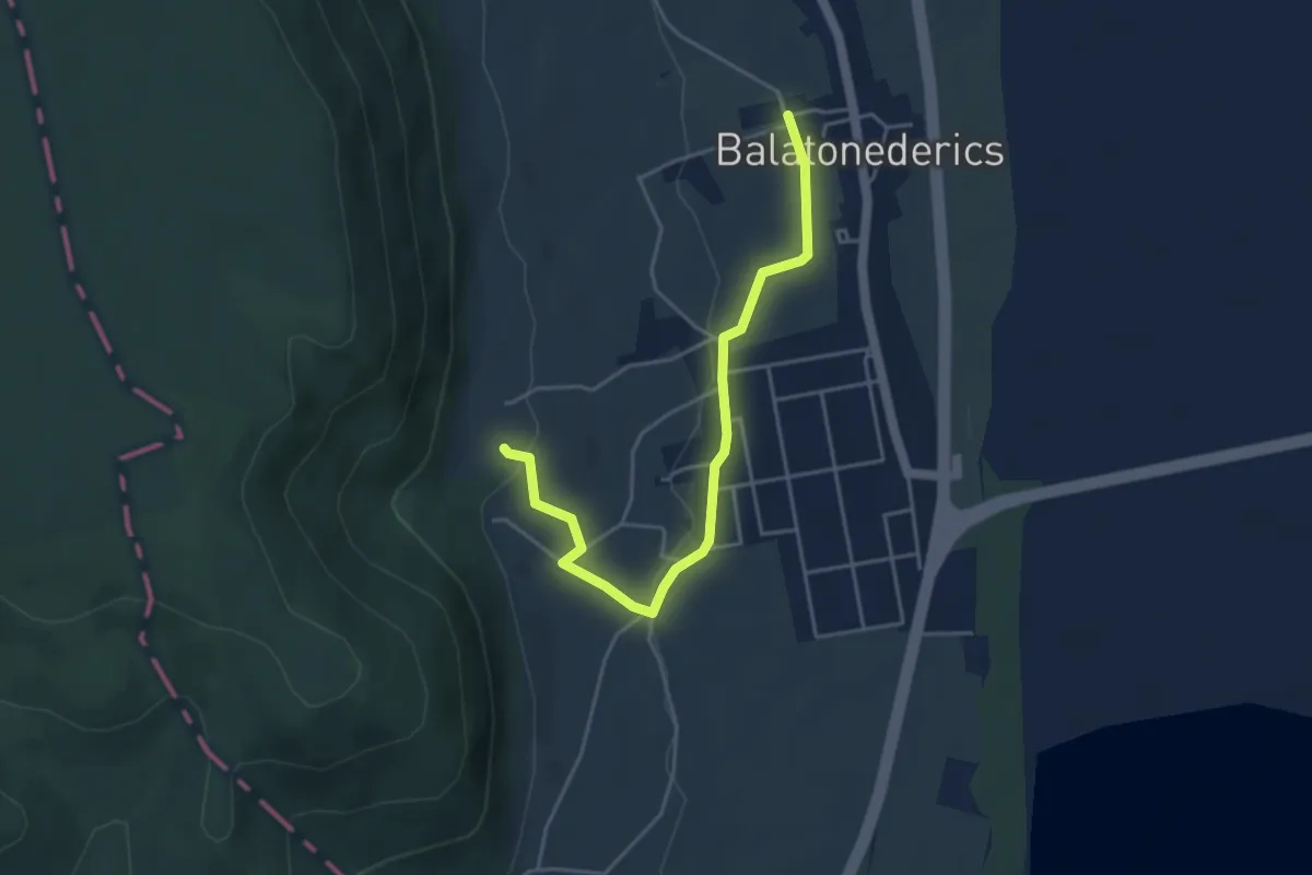
Easy · Trail
Z+ Balatonederics
4.4 km · ↑ 77 m · 1 h 12 min · 14 km away
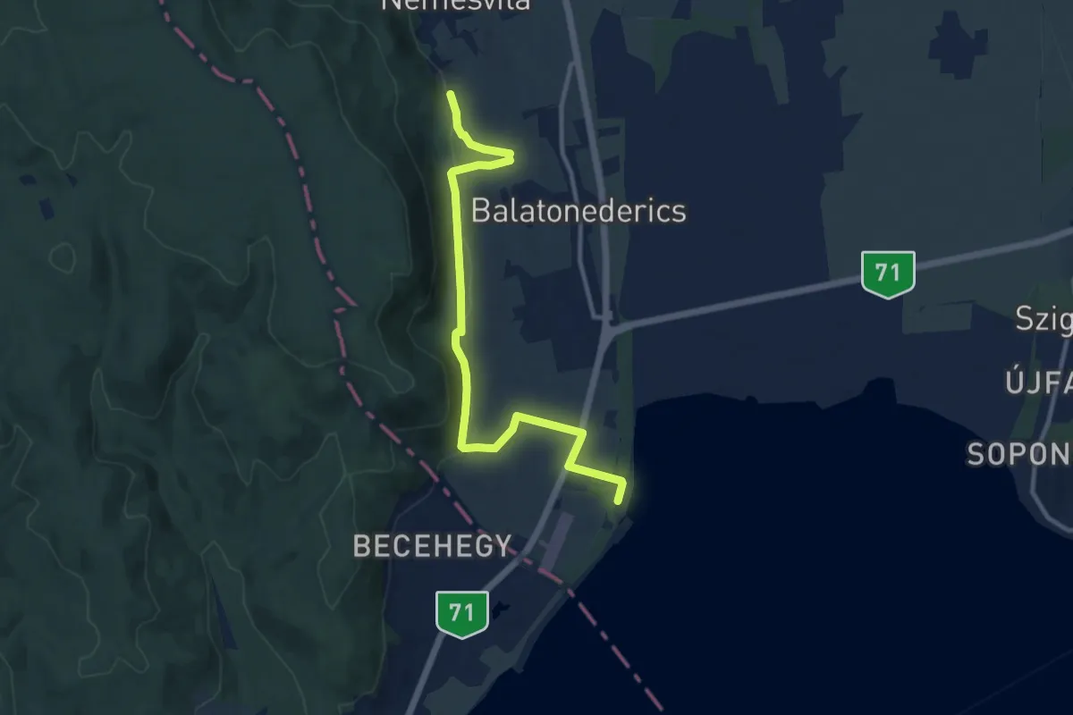
Medium · Trail
P+ Balatonederics
11.1 km · ↑ 276 m · 3 h 13 min · 14 km away
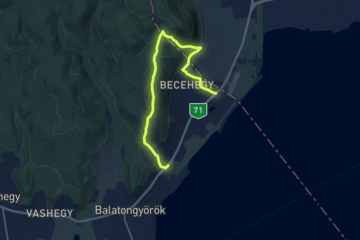
Medium · Trail
P (Becehegy – Szép-kilátó)
11.5 km · ↑ 467 m · 3 h 43 min · 15 km away