Trails near Tapolca
65 hikes starting within 15 km, nearest first.
Nearest first, page 2 of 2
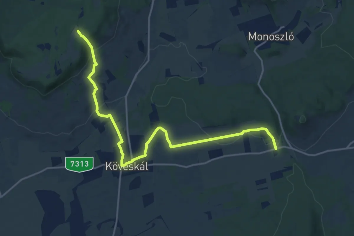
Medium · Trail
K+ (Csere-kút – Köveskál, monoszlói elágazó)
13.7 km · ↑ 285 m · 3 h 51 min · 12 km away
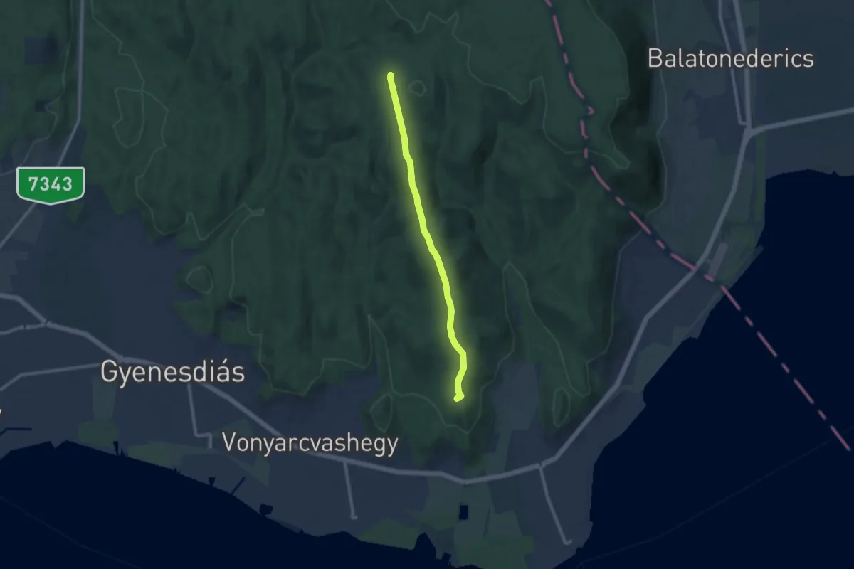
Medium · Summit
Z+ (Pad-kő – Szentmihály-domb)
8.9 km · ↑ 179 m · 2 h 29 min · 12 km away
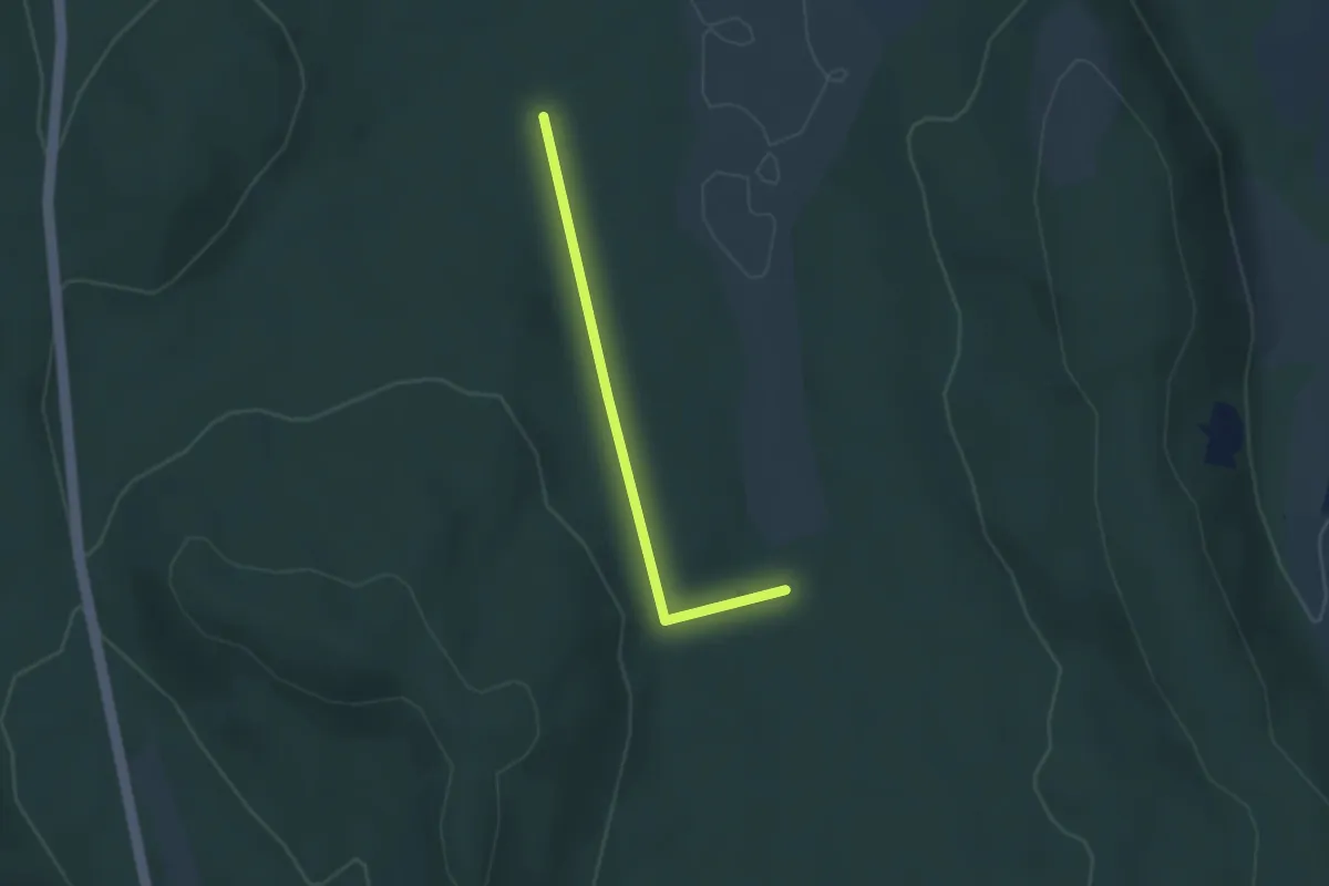
Easy · Trail
S+
2.6 km · ↑ 38 m · 41 min · 13 km away
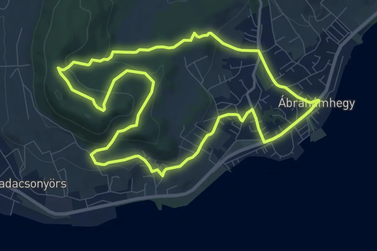
Medium · Summit
P (Ábrahámhegy – Örsi-hegy – Ábrahámhegy)
9.2 km · ↑ 242 m · 2 h 49 min · 13 km away
Medium · Trail
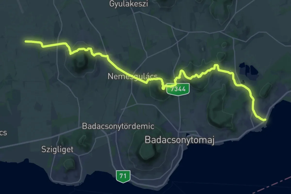
Z (Raposka – Ábrahámhegy)
17.6 km · ↑ 515 m · 5 h 31 min · 13 km away
Medium · Summit
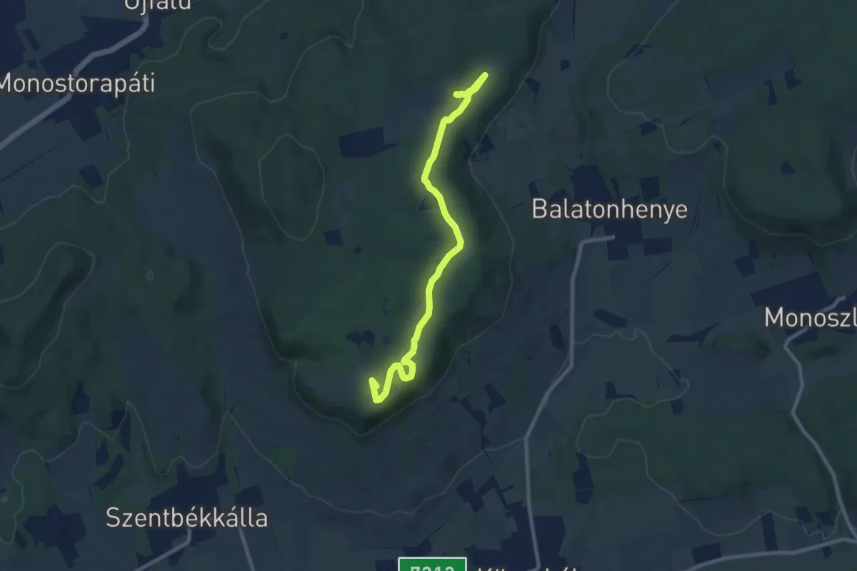
KT, Boros Ádám-tanösvény
9.1 km · ↑ 70 m · 2 h 18 min · 13 km away
Easy · Trail
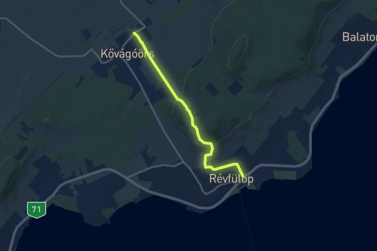
P (Révfülöp – Kővágóörs)
8.0 km · ↑ 229 m · 2 h 23 min · 13 km away
Easy · Trail
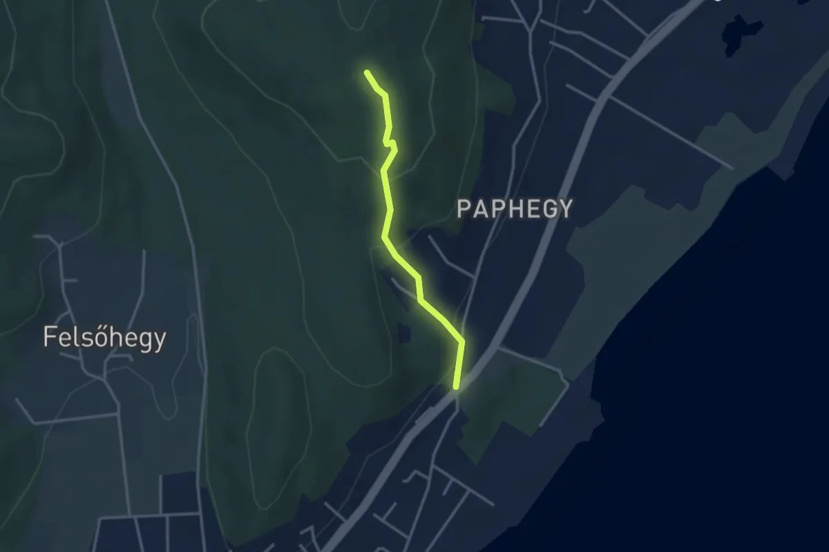
P▲ (Pap-hegy)
2.5 km · ↑ 142 m · 54 min · 13 km away
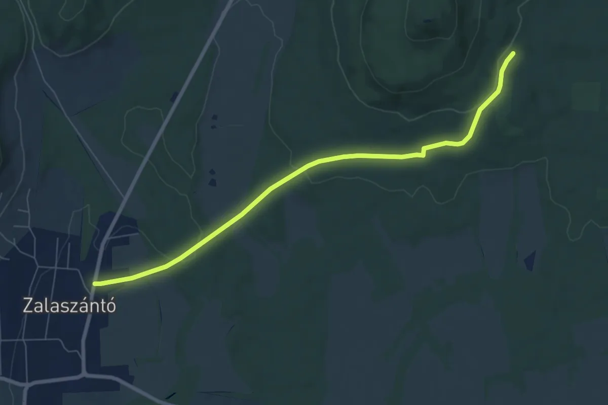
Easy · Trail
K+
7.4 km · ↑ 136 m · 2 h 2 min · 13 km away
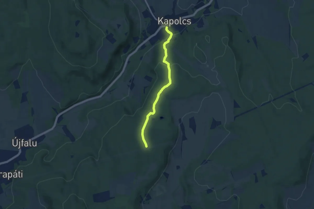
Easy · Trail
S+ (Kapolcs, am. – Kecske-kő – Alsó-erdő – Kettős-tó)
6.9 km · ↑ 178 m · 2 h · 13 km away
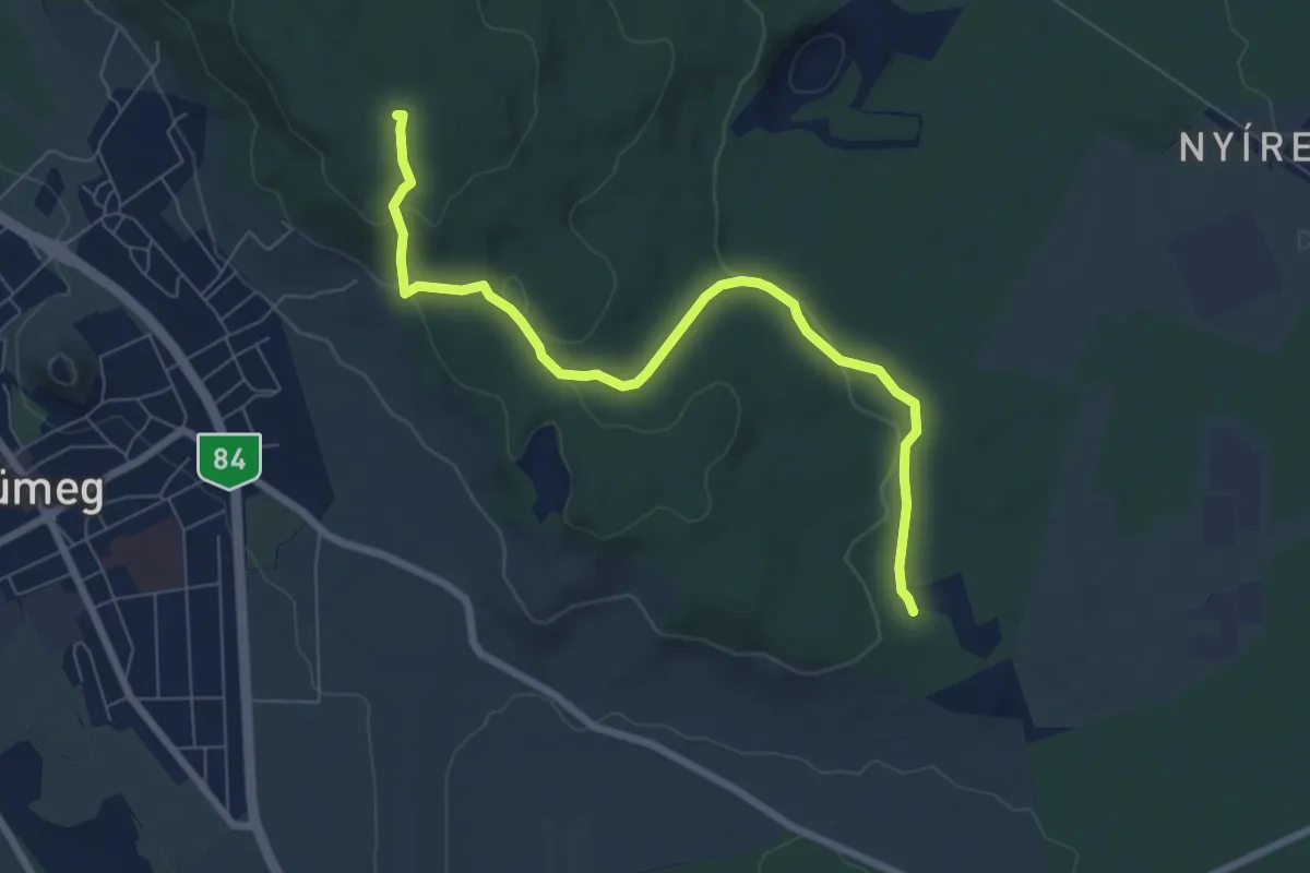
Easy · Summit
P+
7.5 km · ↑ 196 m · 2 h 12 min · 14 km away
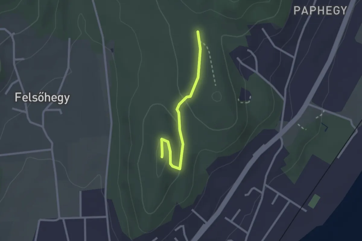
Easy · Summit
S▲ (Garga-hegy)
2.1 km · ↑ 35 m · 34 min · 14 km away
Easy · Trail
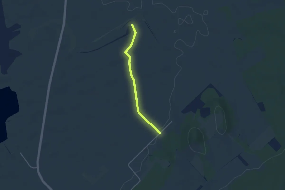
K▙ (Kővágóörs, Horváth-tanya – Sóstókáli templomrom – Pusztapalota romja)
2.6 km · ↑ 12 m · 38 min · 14 km away
Easy · Summit
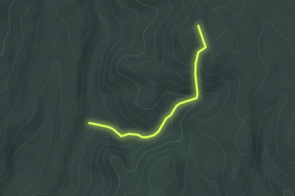
P+ (Csinder-völgy – Pajta-völgy – Szék-tető)
2.7 km · ↑ 150 m · 58 min · 14 km away
Easy · Summit
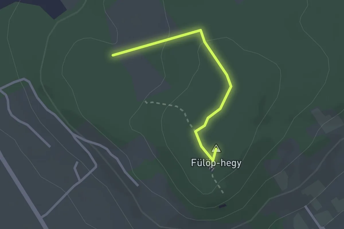
P▲ (Fülöp-hegyi kilátó)
2.1 km · ↑ 51 m · 36 min · 14 km away
Easy · Trail
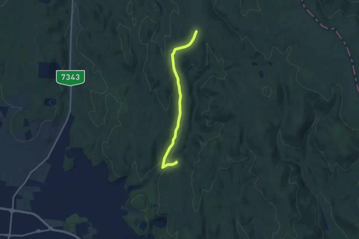
K+
7.5 km · ↑ 189 m · 2 h 11 min · 15 km away
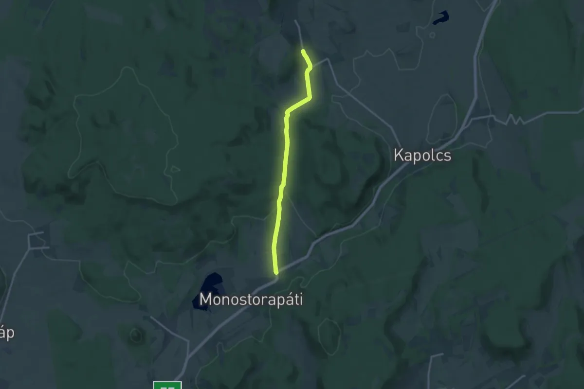
Medium · Trail
S (Taliándörögd - Monostorapáti)
12.4 km · ↑ 144 m · 3 h 14 min · 15 km away