Trails near Zalaszentgrót
20 hikes starting within 15 km, nearest first.
Nearest first
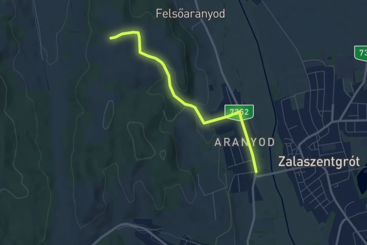
Easy · Trail
Z▲ (Aranyod)
6.3 km · ↑ 116 m · 1 h 45 min · 1 km away
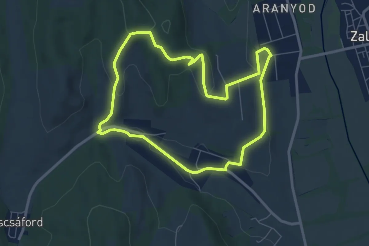
Easy · Trail
Z↺ (Csáford)
5.7 km · ↑ 161 m · 1 h 46 min · 1 km away
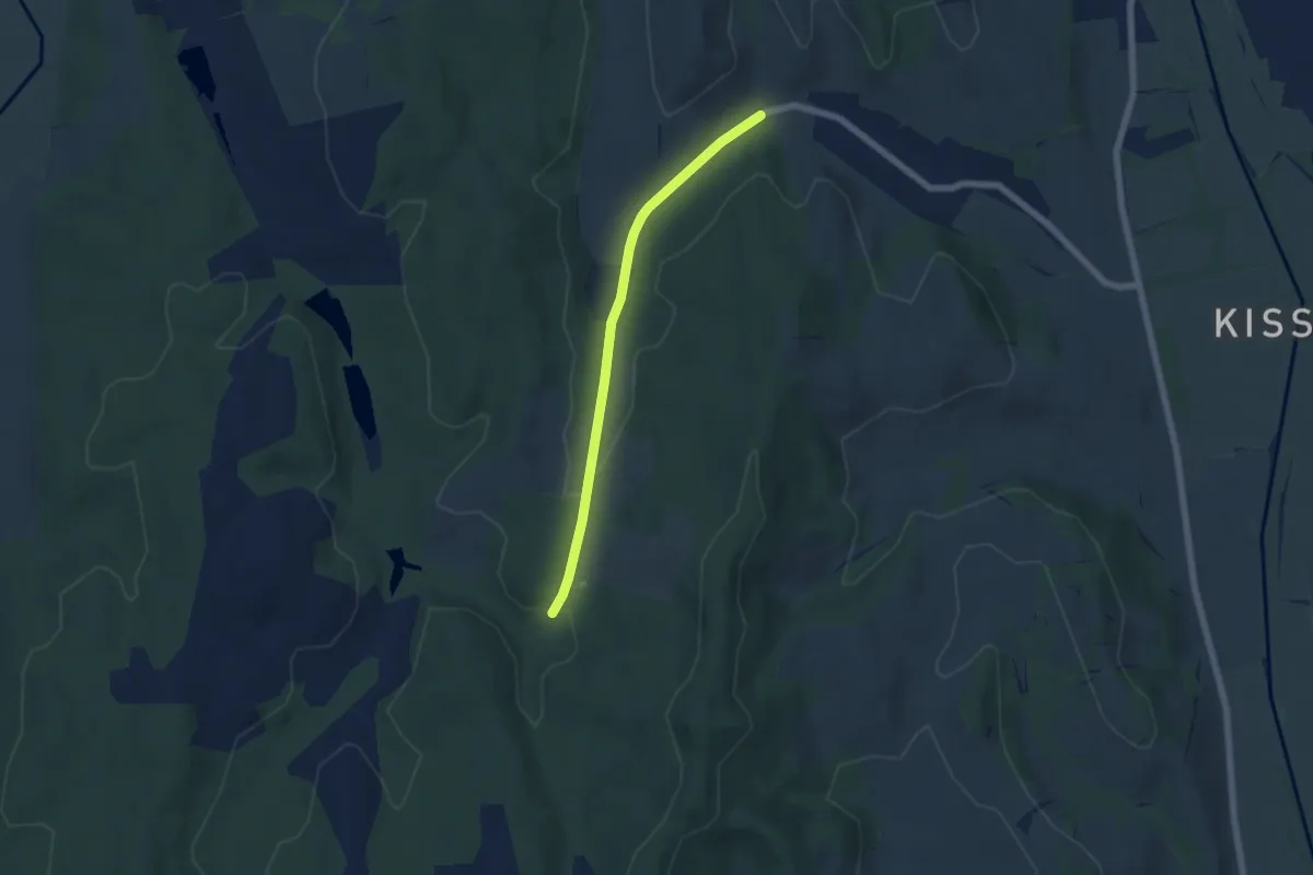
Easy · Trail
P+ (Csáford)
5.3 km · ↑ 67 m · 1 h 24 min · 3 km away
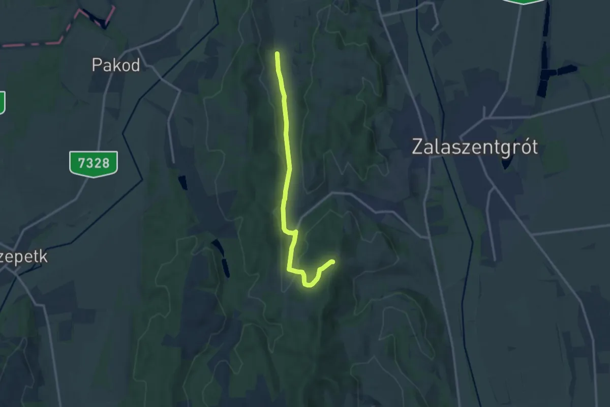
Medium · Trail
Z+ (Zalabér-Kiscsáford)
10.6 km · ↑ 202 m · 2 h 57 min · 3 km away
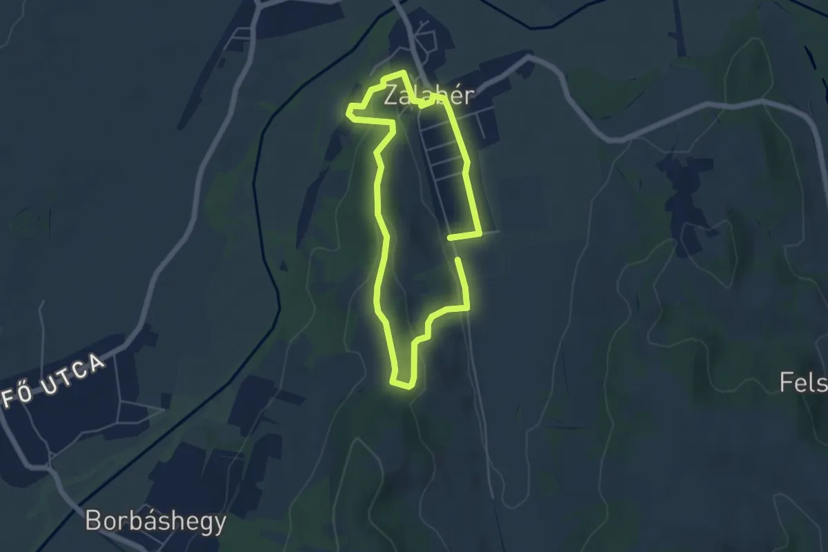
Easy · Trail
Z↺ (Zalabér)
4.2 km · ↑ 95 m · 1 h 16 min · 4 km away
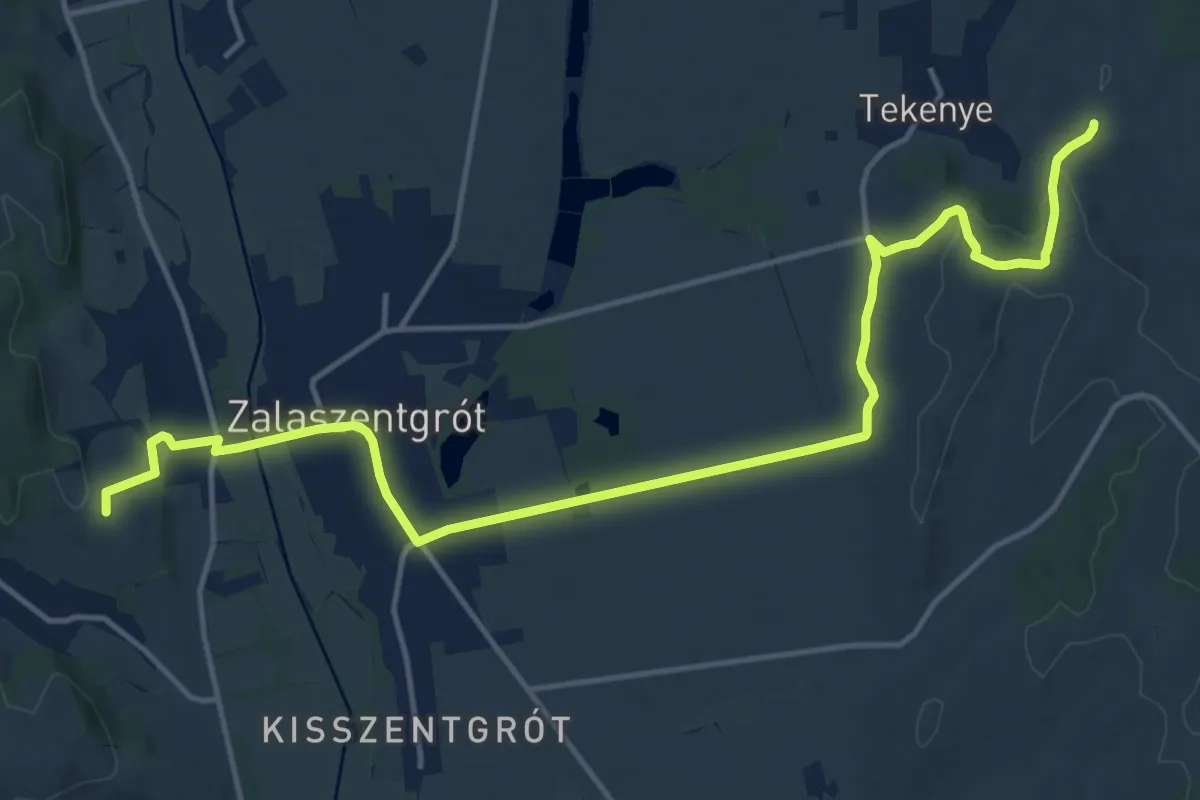
Medium · Trail
S+ (Zalaszentgrót-Tekenye)
17.7 km · ↑ 233 m · 4 h 42 min · 5 km away
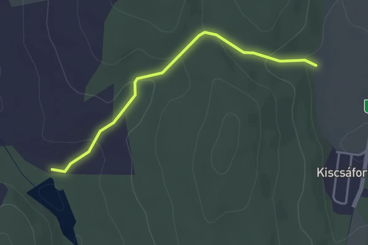
Easy · Trail
P+ (Kiscsáford)
3.0 km · ↑ 108 m · 57 min · 5 km away
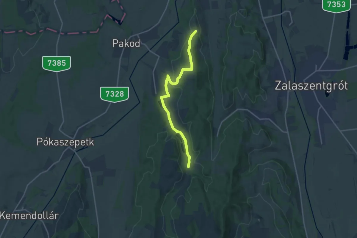
Medium · Trail
P▲ (Zalabér Szent Antal kápolna)
13.0 km · ↑ 239 m · 3 h 35 min · 5 km away
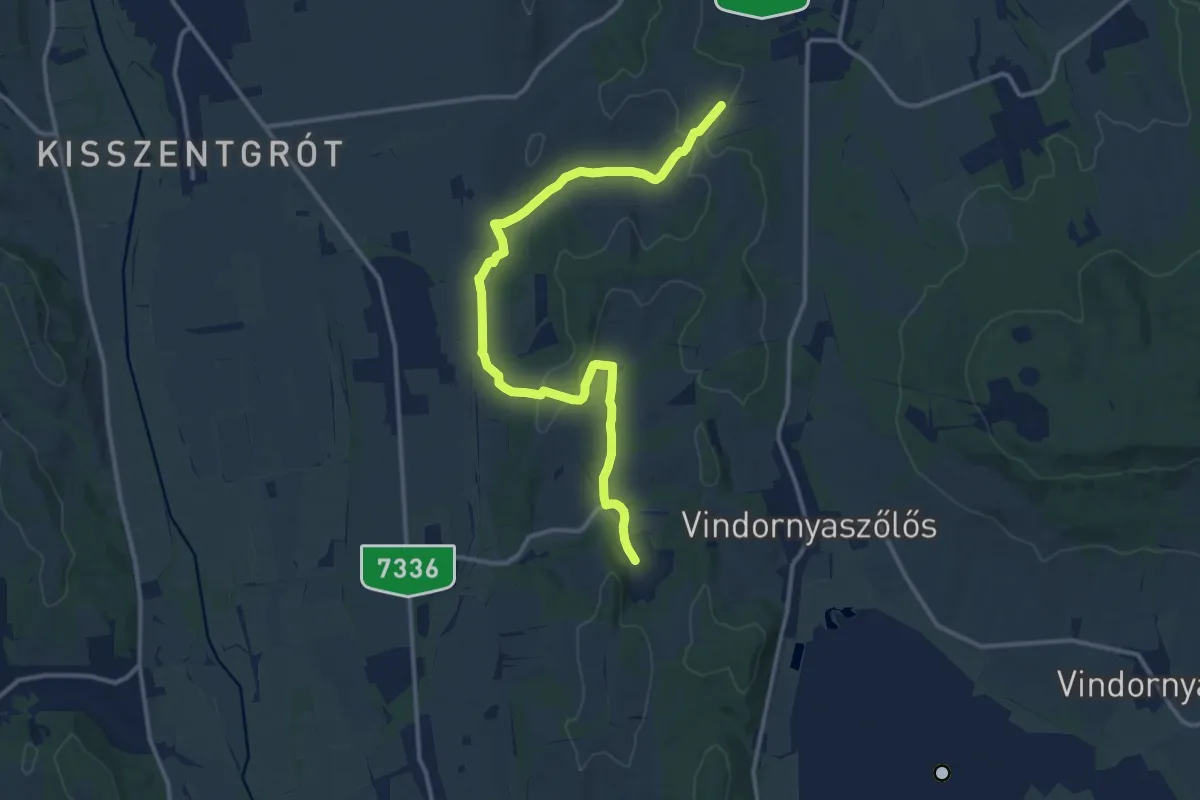
Medium · Trail
S+ (Kisgörbő-Sénye)
14.3 km · ↑ 228 m · 3 h 52 min · 5 km away
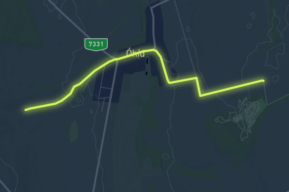
Medium · Trail
S+ (Óhíd)
8.7 km · ↑ 36 m · 2 h 8 min · 5 km away
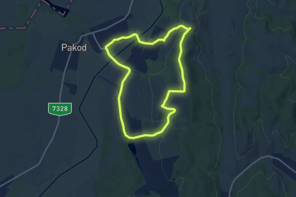
Easy · Trail
P↺ (Dötk)
8.0 km · ↑ 164 m · 2 h 21 min · 6 km away
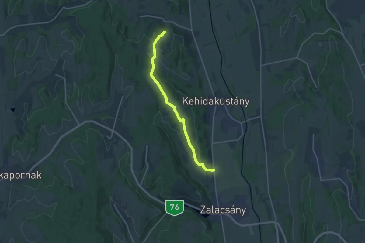
Medium · Trail
Mackó út
13.3 km · ↑ 242 m · 3 h 39 min · 9 km away
Medium · Trail
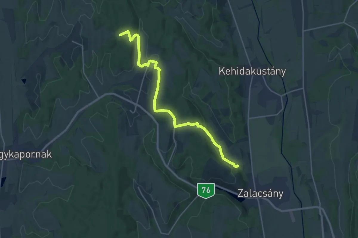
P■ (Almásháza-Ligetfalva-Zalacsány)
16.6 km · ↑ 373 m · 4 h 43 min · 11 km away
Medium · Trail
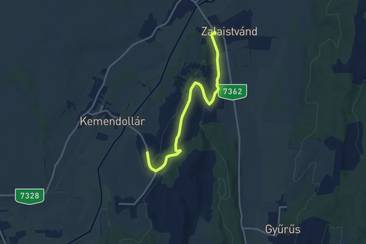
P▲
9.1 km · ↑ 224 m · 2 h 38 min · 11 km away
Medium · Trail
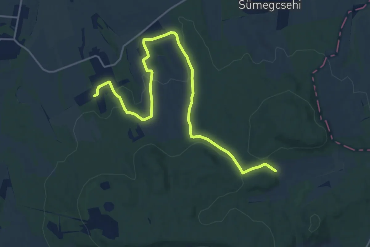
Z+
14.4 km · ↑ 307 m · 4 h 4 min · 11 km away
Easy · Summit
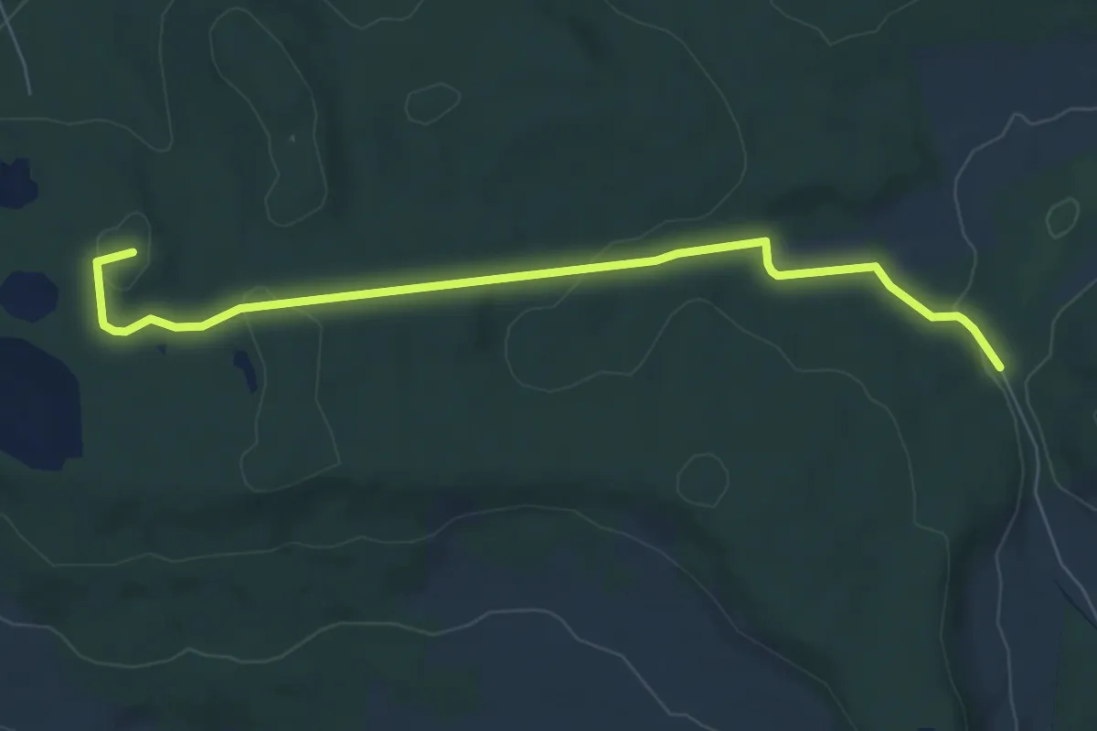
K+ (Vindornyaszőlős)
7.1 km · ↑ 139 m · 1 h 58 min · 11 km away
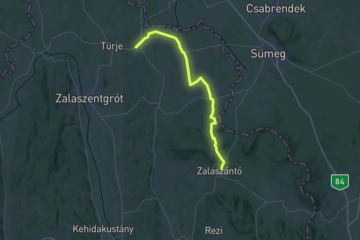
Demanding · Trail
Z (Zalaszántó-Türje)
18.8 km · ↑ 213 m · 5 h 10 min · 13 km away
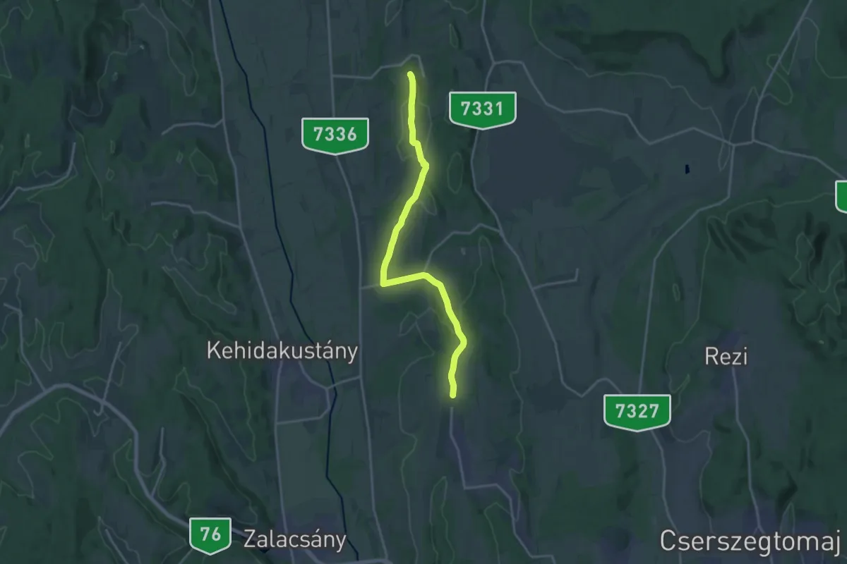
Medium · Trail
S+ (Sénye-Nemesbük)
17.4 km · ↑ 305 m · 4 h 46 min · 13 km away
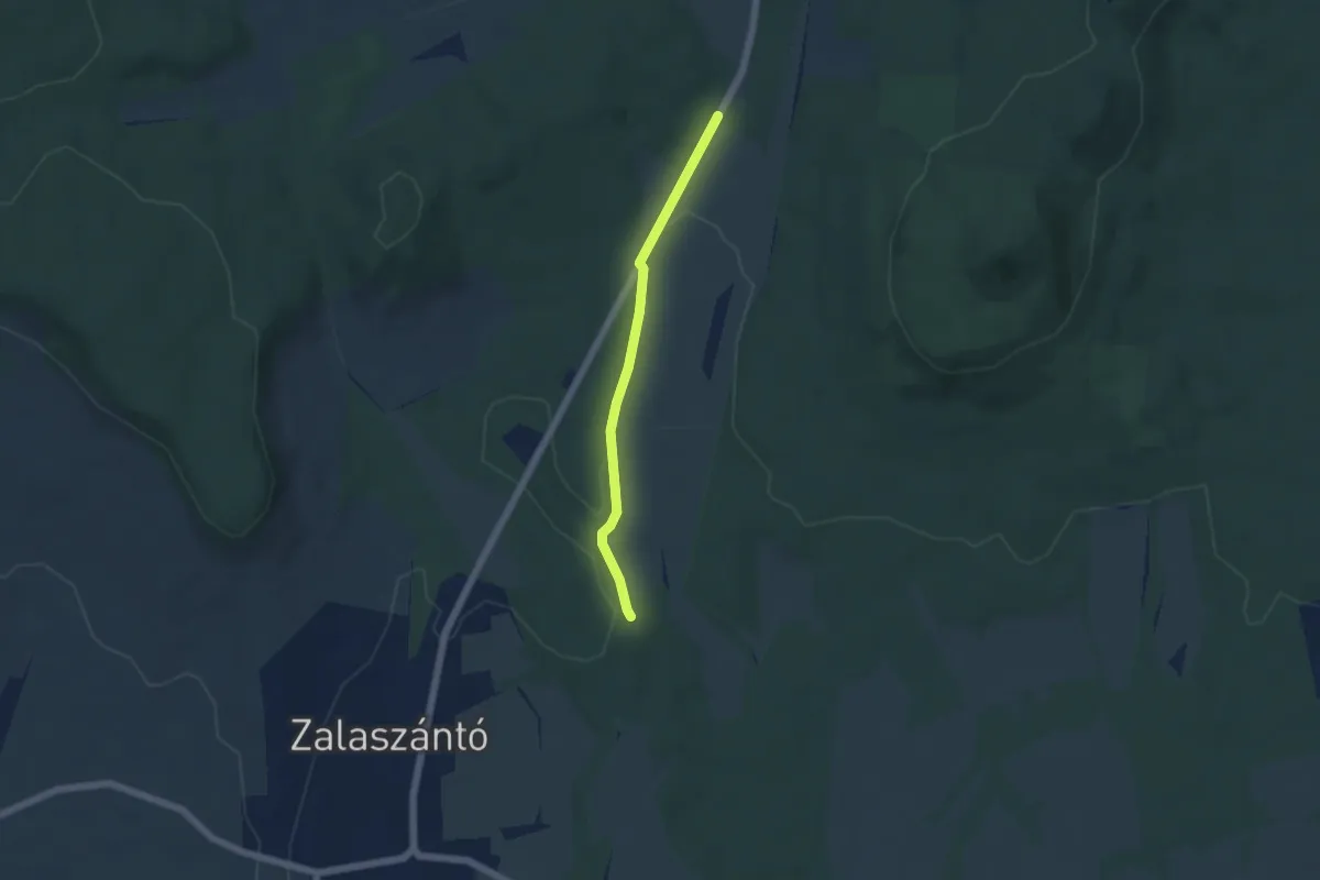
Easy · Trail
K▙ (Zalaszántó)
4.5 km · ↑ 69 m · 1 h 12 min · 13 km away
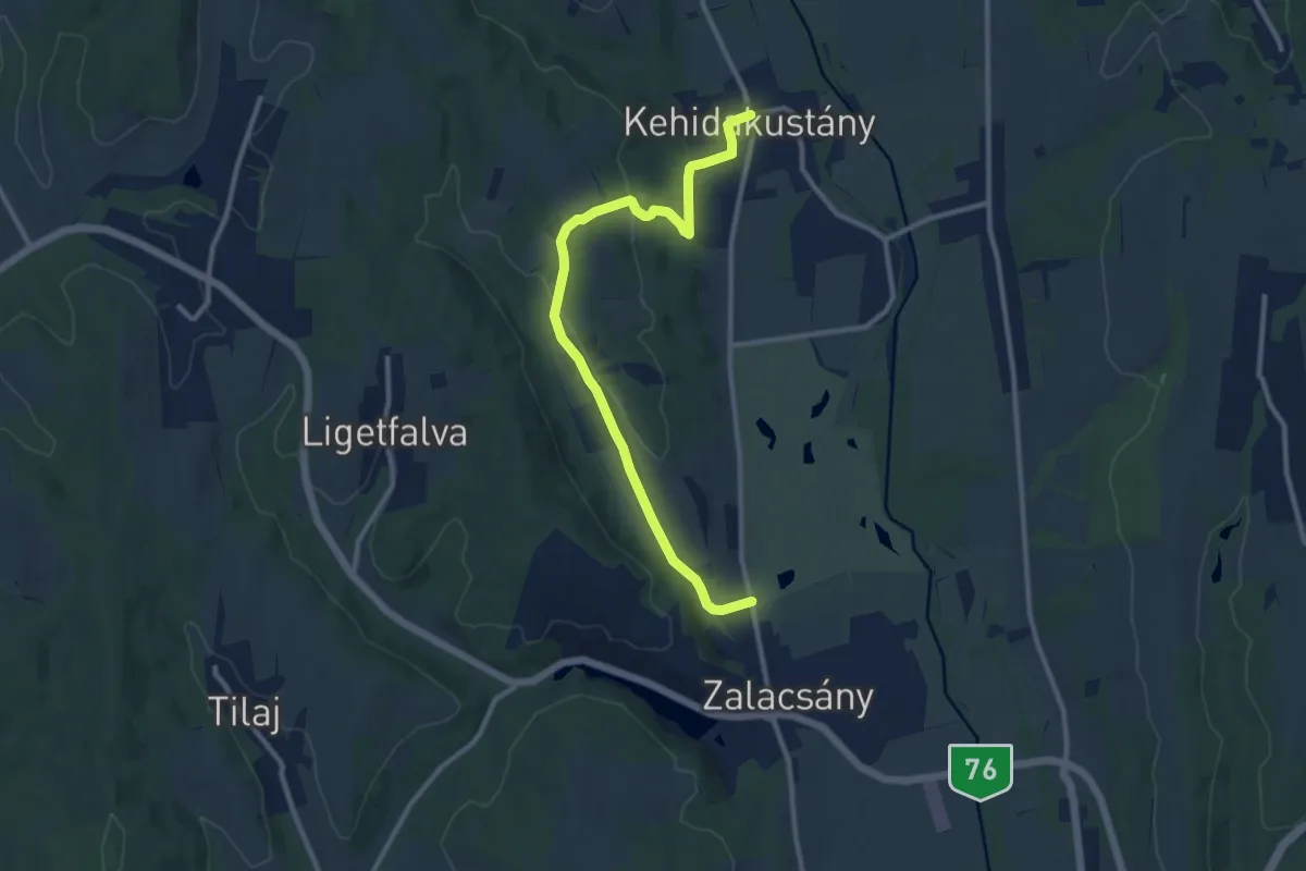
Medium · Trail
P+ (Zalacsány-Kehidakustány)
11.1 km · ↑ 256 m · 3 h 11 min · 15 km away