Trails in Hungary
2,294 hiking trails, each with its route, climb, walking time and grade.
All trails, page 15 of 48
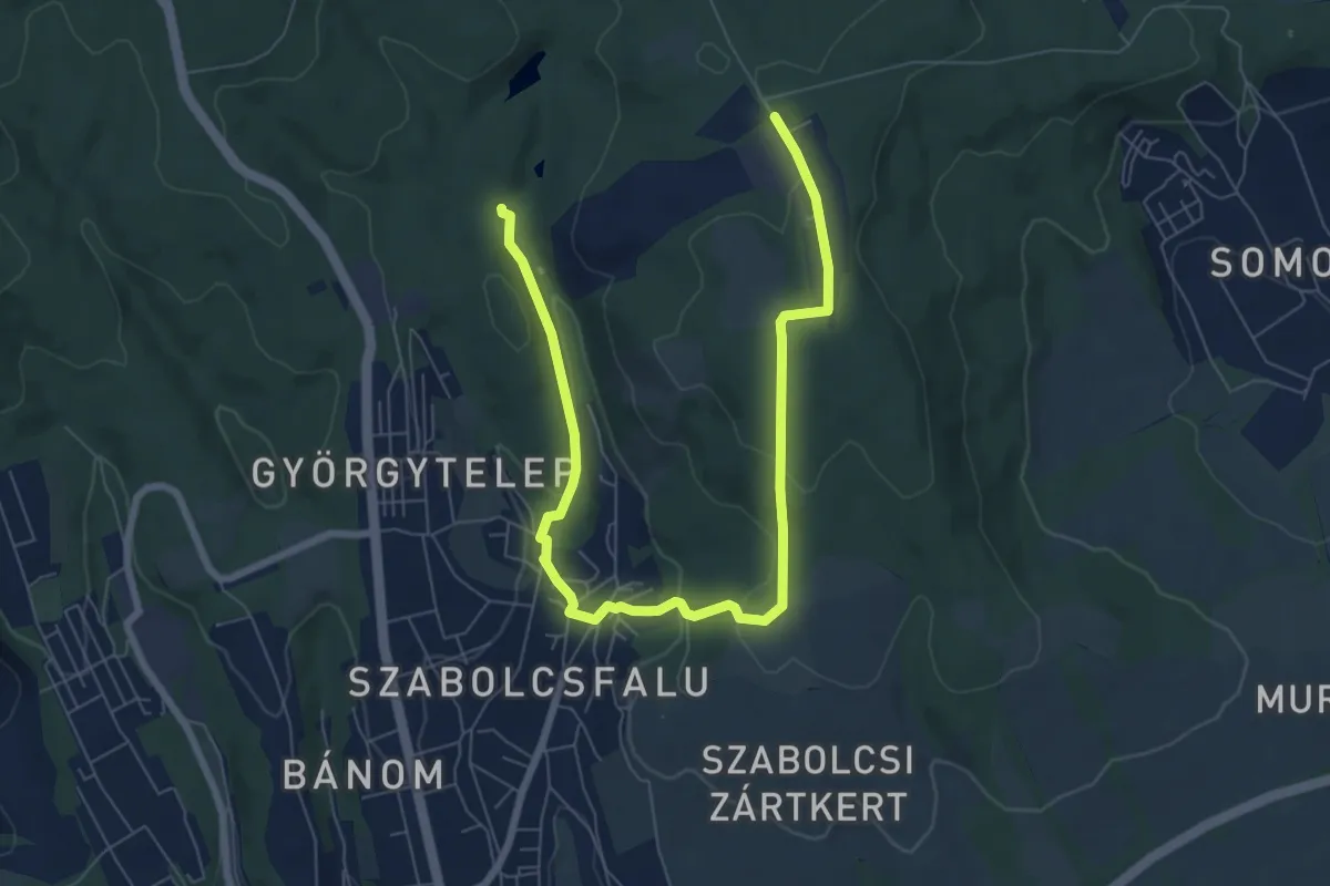
Medium · Trail
Mecseki Szénbányász Emlékút (Csertető)
9.3 km · ↑ 256 m · 2 h 45 min
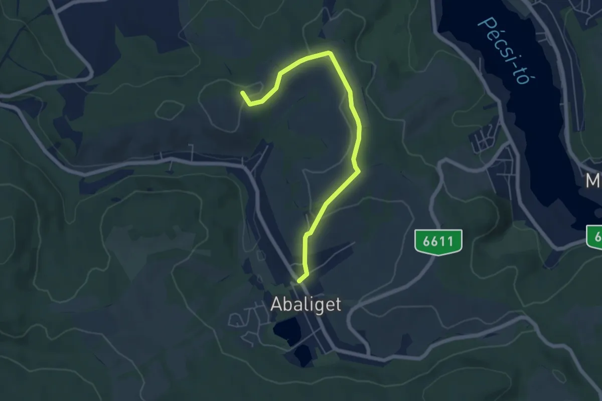
Easy · Trail
Mecseki Zöldút
5.5 km · ↑ 97 m · 1 h 31 min
Easy · Trail
Medvehagyma tanösvény
1.1 km · ↑ 25 m · 21 min
Easy · Summit
Mész-tető földvár tanösvény
1.3 km · ↑ 20 m · 22 min
Easy · Trail
Miklád-tó tanösvény
1.6 km · ↑ 0 m · 24 min
Easy · Summit
Millenniumi tanösvény
4.1 km · ↑ 261 m · 1 h 32 min
Medium · Trail
M (Meteor teljesítménytúrák)
13.2 km · ↑ 173 m · 3 h 30 min
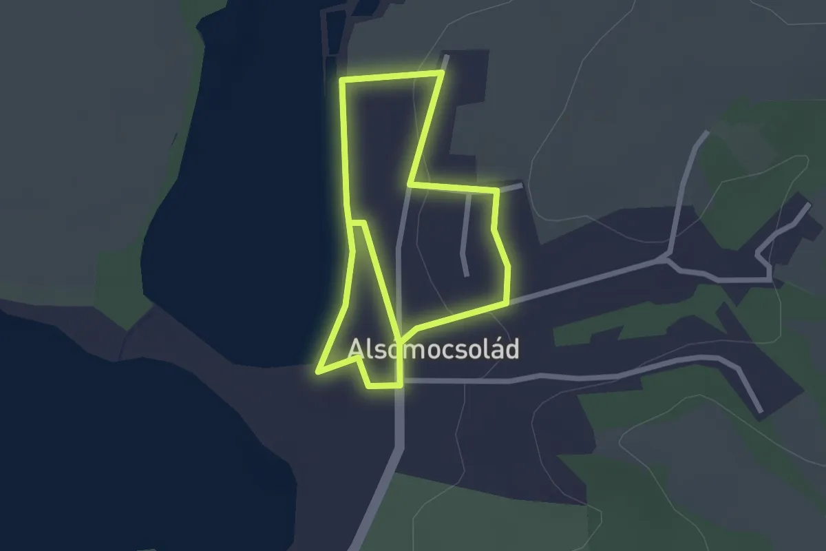
Easy · Trail
Mocsoládia sétálója
4.0 km · ↑ 50 m · 1 h 4 min
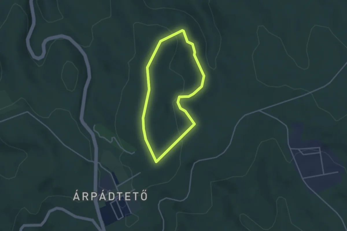
Easy · Trail
Mókus tanösvény
2.8 km · ↑ 70 m · 50 min
Easy · Trail
Munkaszolgálatos emlékút
2.7 km · ↑ 62 m · 46 min
Easy · Summit
Nagy-Egedi tanösvény
3.6 km · ↑ 273 m · 1 h 30 min
Medium · Trail
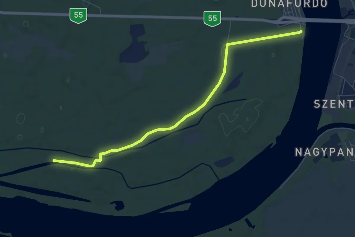
Nagyfa turistaút
8.4 km · ↑ 34 m · 2 h 4 min
Easy · Trail
Nagy-hegyi tanösvény
3.8 km · ↑ 138 m · 1 h 12 min
Easy · Trail
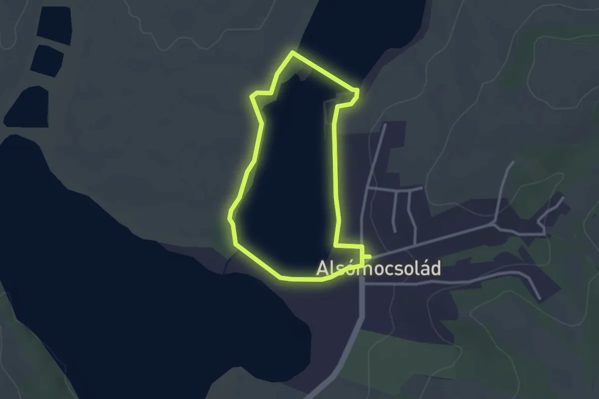
Nagy kócsag tanösvény
2.5 km · ↑ 10 m · 38 min
Easy · Trail
Nagytétényi Duna-part Természetvédelmi Terület tanösvény
5.0 km · ↑ 22 m · 1 h 14 min
Easy · Trail
Nagyvillámi Erdészeti tanösvény (Visegrád, Mogyoró-hegy (Erdei Művelődés Háza) – Görgey-bérc)
1.5 km · ↑ 62 m · 31 min
Easy · Trail
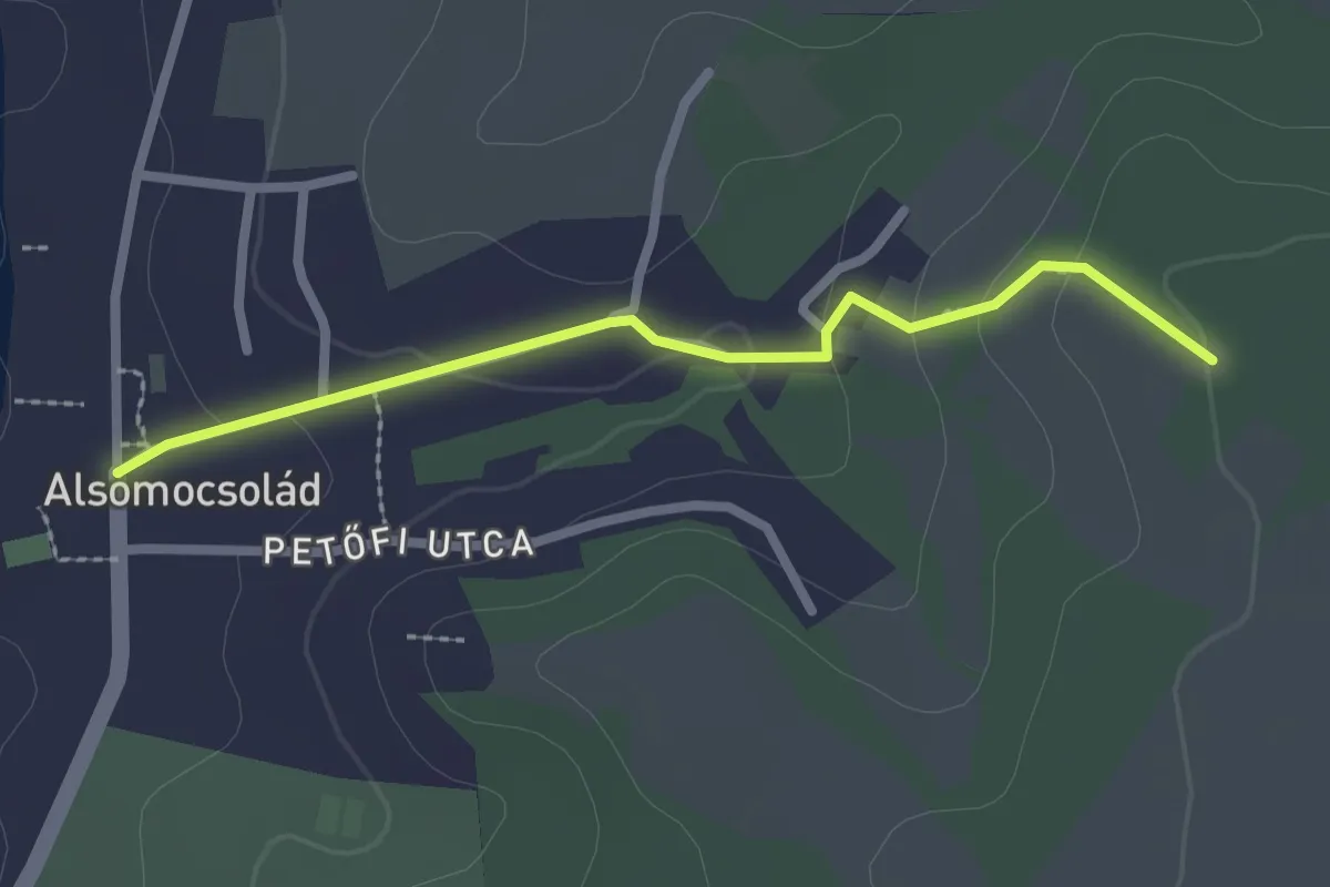
Naprendszer tanösvény
2.3 km · ↑ 61 m · 41 min
Easy · Pilgrim path
NégyBakancs Párkapcsolat-gazdagító körtúra
7.3 km · ↑ 123 m · 2 h 6 min
Easy · Summit
NégyBakancs Párkapcsolat-gazdagító körtúra - Tokaj
5.7 km · ↑ 193 m · 1 h 50 min
Easy · Summit
Négybakancs – Párkapcsolat-gazdagító túra
4.4 km · ↑ 238 m · 1 h 37 min
Medium · Trail
Nordic walking
9.0 km · ↑ 101 m · 2 h 28 min
Easy · Trail
Nordic Walking Mosolykör
5.2 km · ↑ 21 m · 1 h 20 min
Medium · Trail
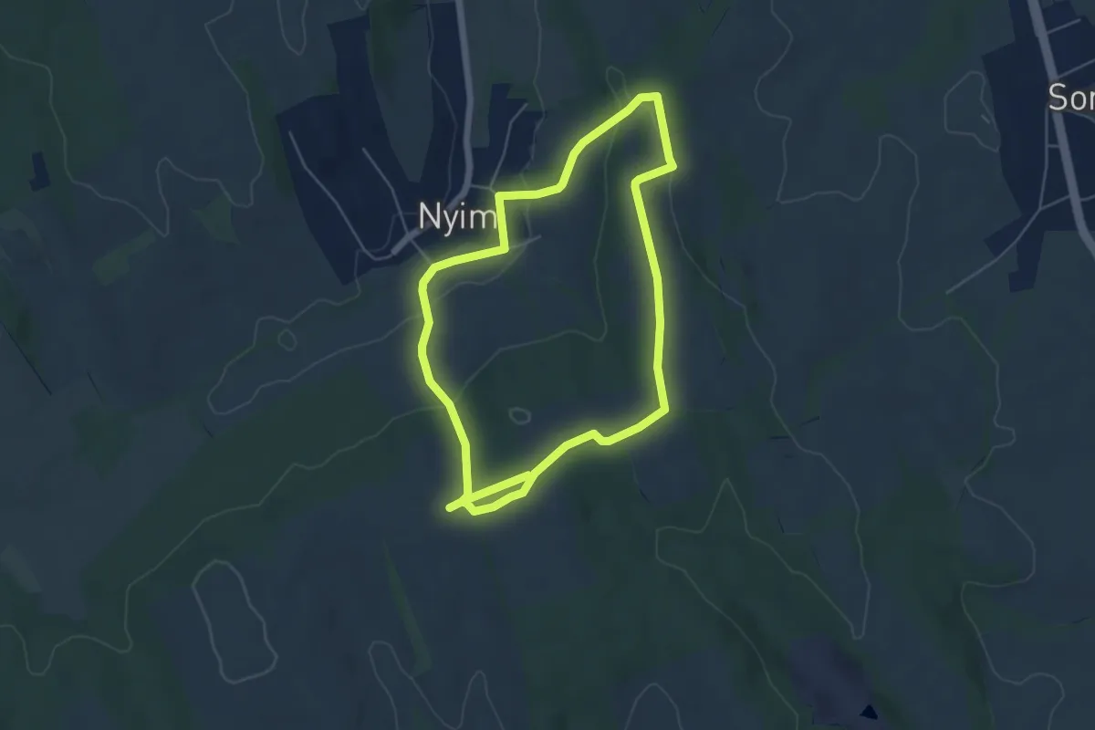
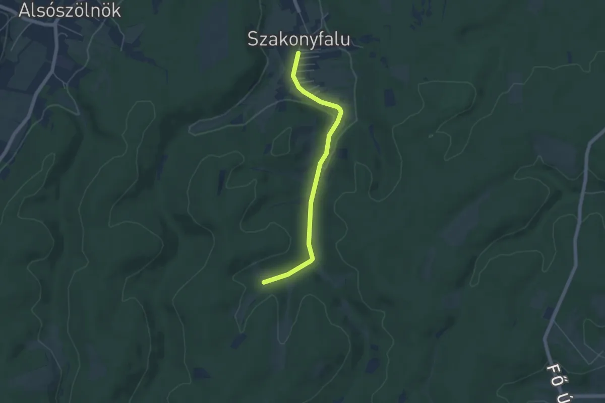
Nyimi Nyugi természetterápiás tanösvény
10.2 km · ↑ 250 m · 2 h 57 min
Easy · Trail
Nyugati pont tanösvény
4.7 km · ↑ 44 m · 1 h 12 min
Easy · Trail
Okruh bobra
1.2 km · ↑ 0 m · 18 min
Easy · Trail
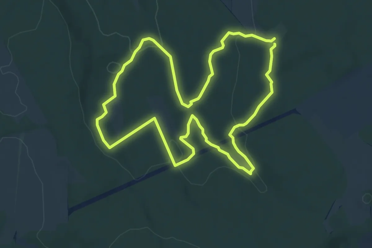
Öreg Bükk tanösvény, Hosszú túra (Sárga Tölgy)
6.6 km · ↑ 117 m · 1 h 54 min
Easy · Trail
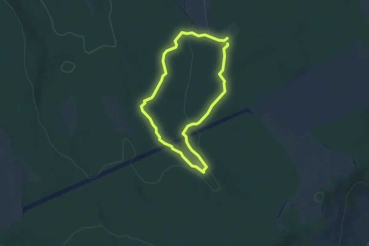
Öreg Bükk tanösvény (Zöld Tölgyfa)
3.4 km · ↑ 51 m · 57 min
Easy · Pilgrim path
Örömút
6.4 km · ↑ 112 m · 1 h 51 min
Easy · Trail
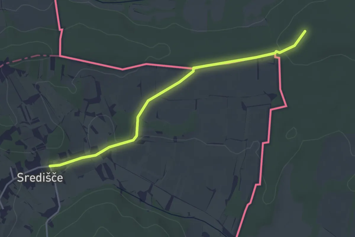
Őrzők öröme út (Sárga kereszt) (Kercaszomor - Szent Vencel-templom helye (Pusztatemető) - Szerdahely / Središče)
3.9 km · ↑ 45 m · 1 h
Medium · Summit
Oszoly-ösvény (Csobánka, Oszoly-pihenő – Oszoly-csúcs)
4.3 km · ↑ 321 m · 1 h 42 min
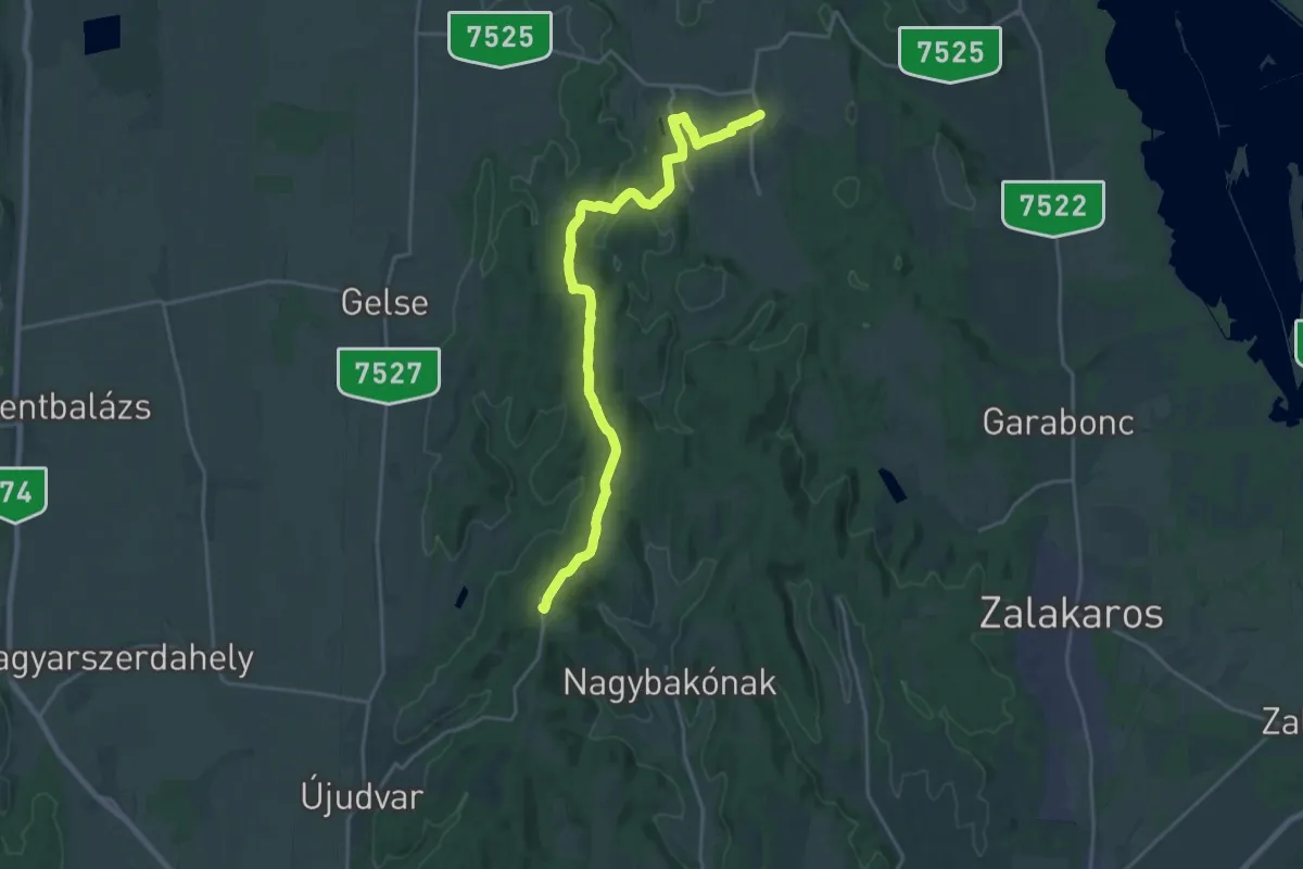
Demanding · Summit
P
22.5 km · ↑ 296 m · 5 h 58 min
Demanding · Trail
P
30.5 km · ↑ 26 m · 7 h 15 min
Easy · Trail
P
2.7 km · ↑ 61 m · 46 min
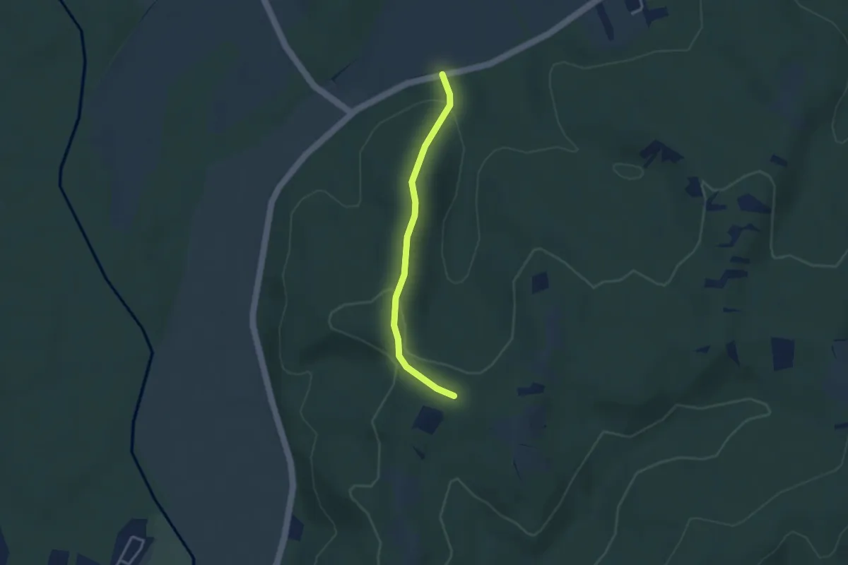
Easy · Trail
P+
2.9 km · ↑ 100 m · 54 min
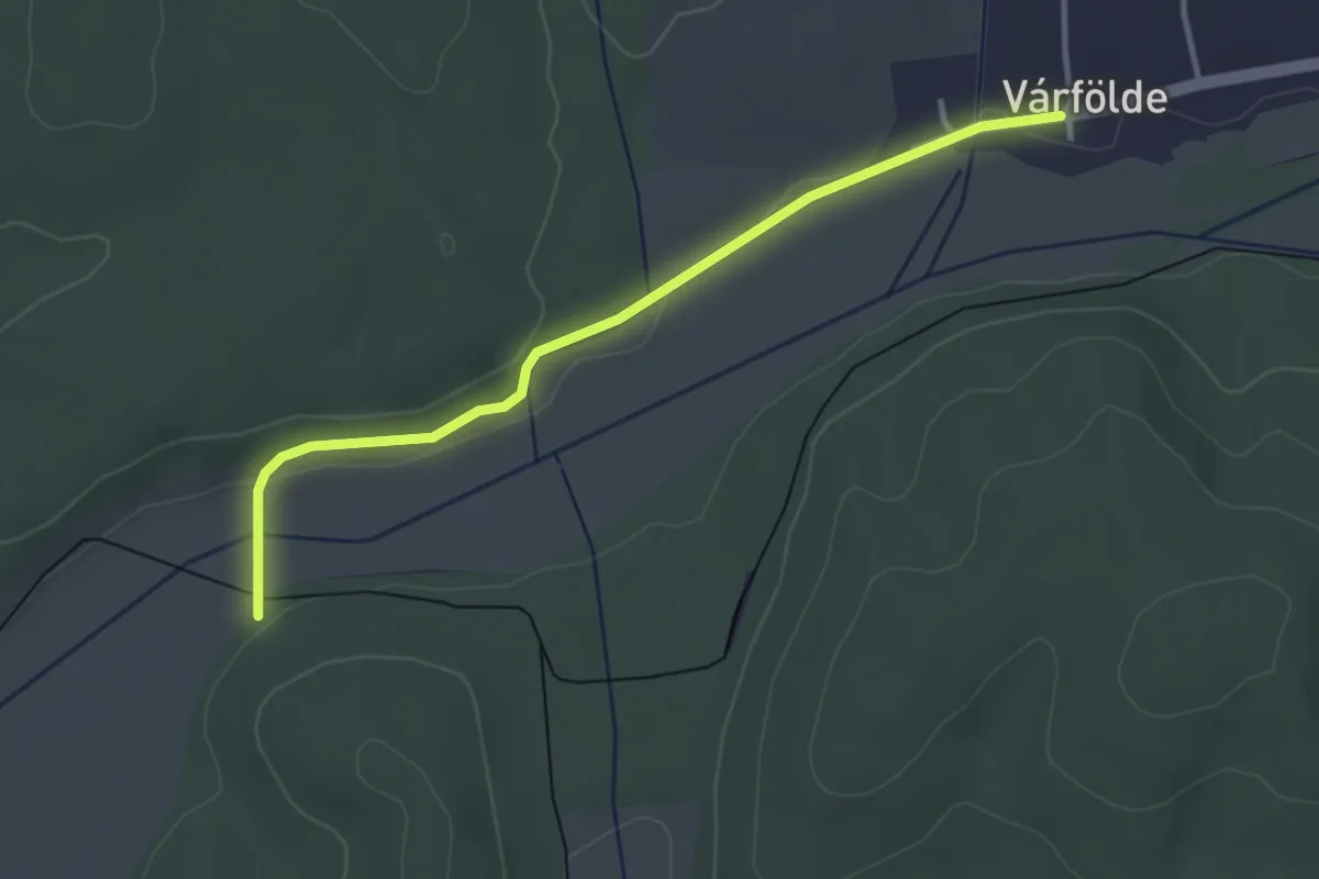
Easy · Trail
P+
3.5 km · ↑ 25 m · 53 min
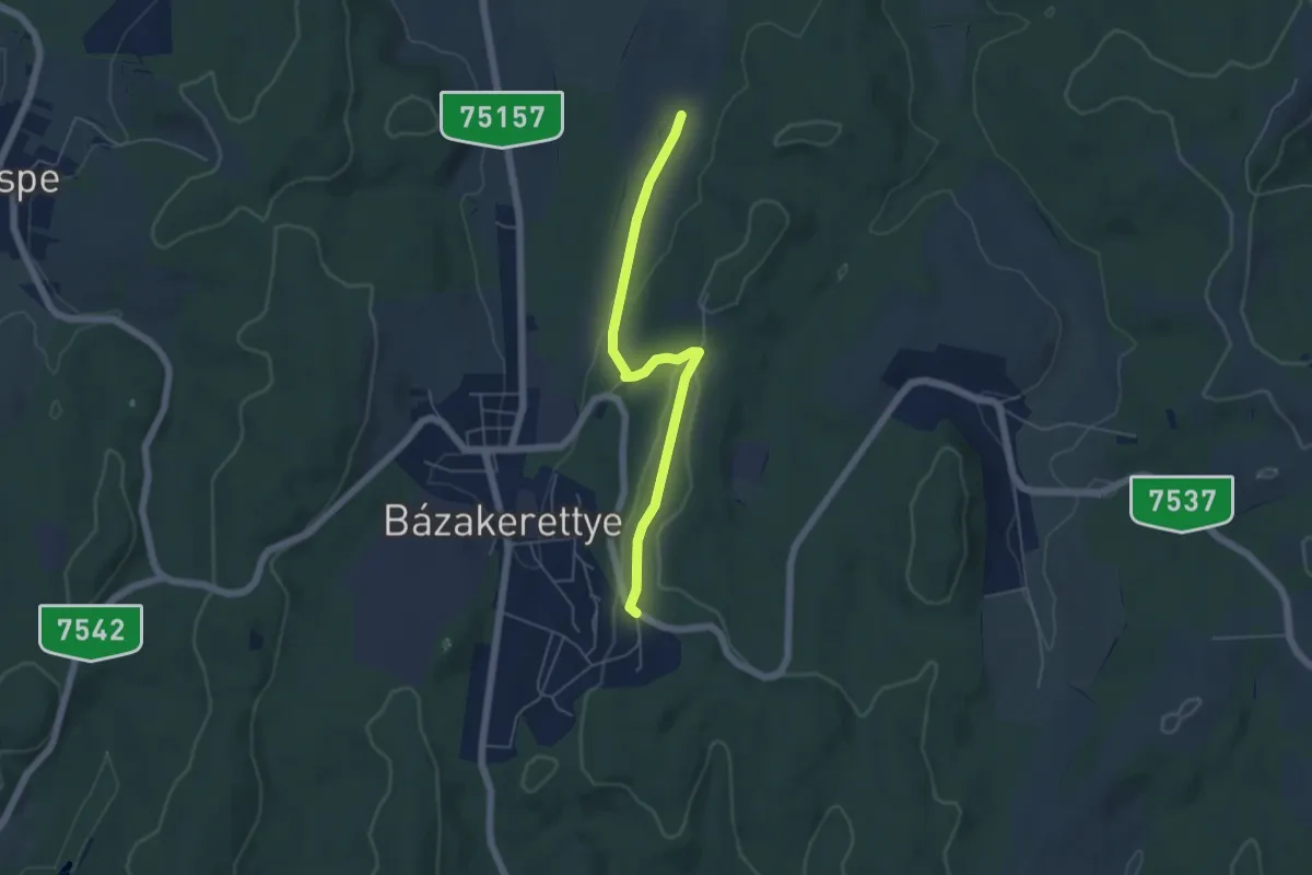
Easy · Trail
P+
5.0 km · ↑ 81 m · 1 h 22 min
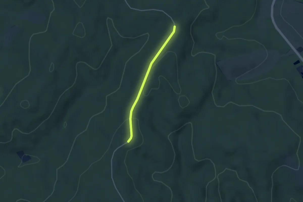
Easy · Trail
P+
2.7 km · ↑ 33 m · 42 min
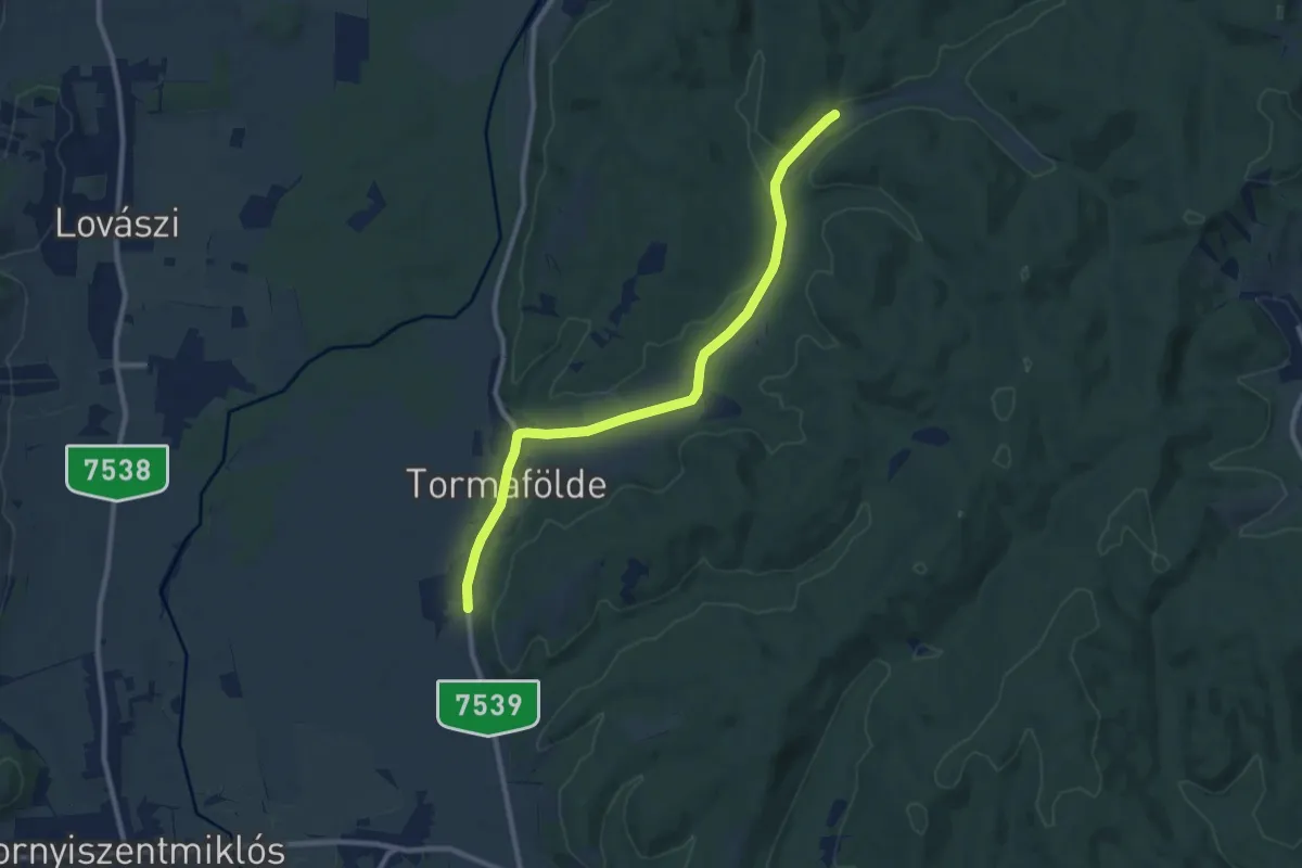
Medium · Trail
P+
9.8 km · ↑ 74 m · 2 h 28 min
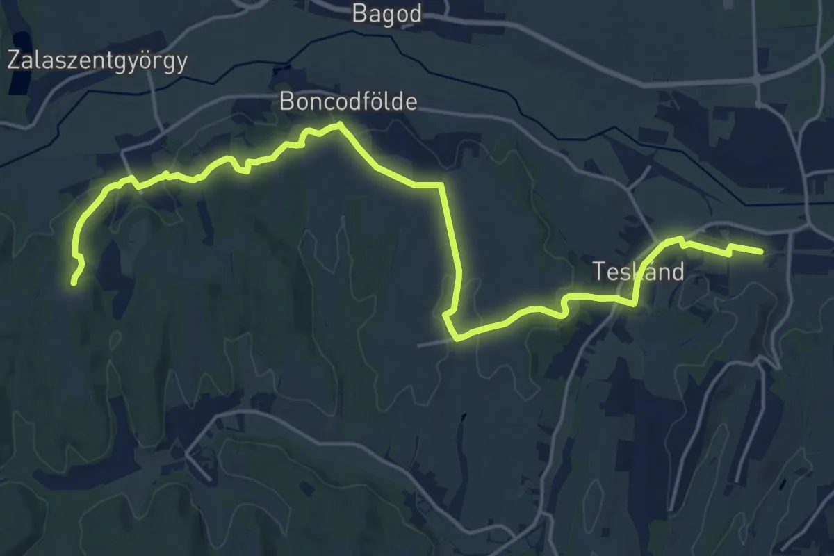
Demanding · Trail
P+
22.3 km · ↑ 391 m · 6 h 7 min
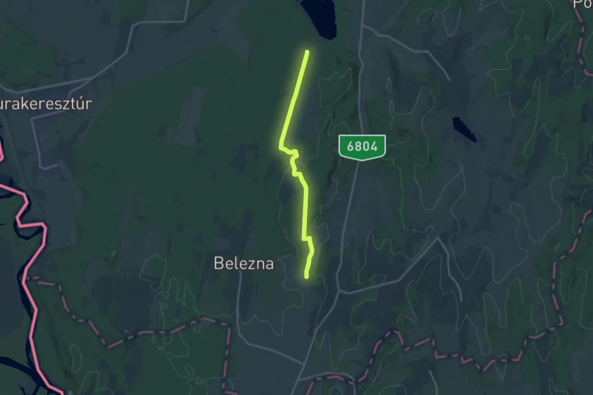
Medium · Trail
P+
12.2 km · ↑ 168 m · 3 h 15 min
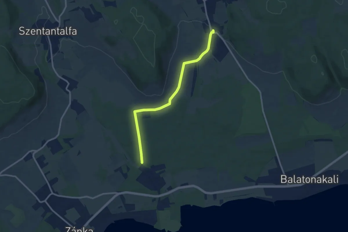
Medium · Trail
P+
8.3 km · ↑ 62 m · 2 h 6 min
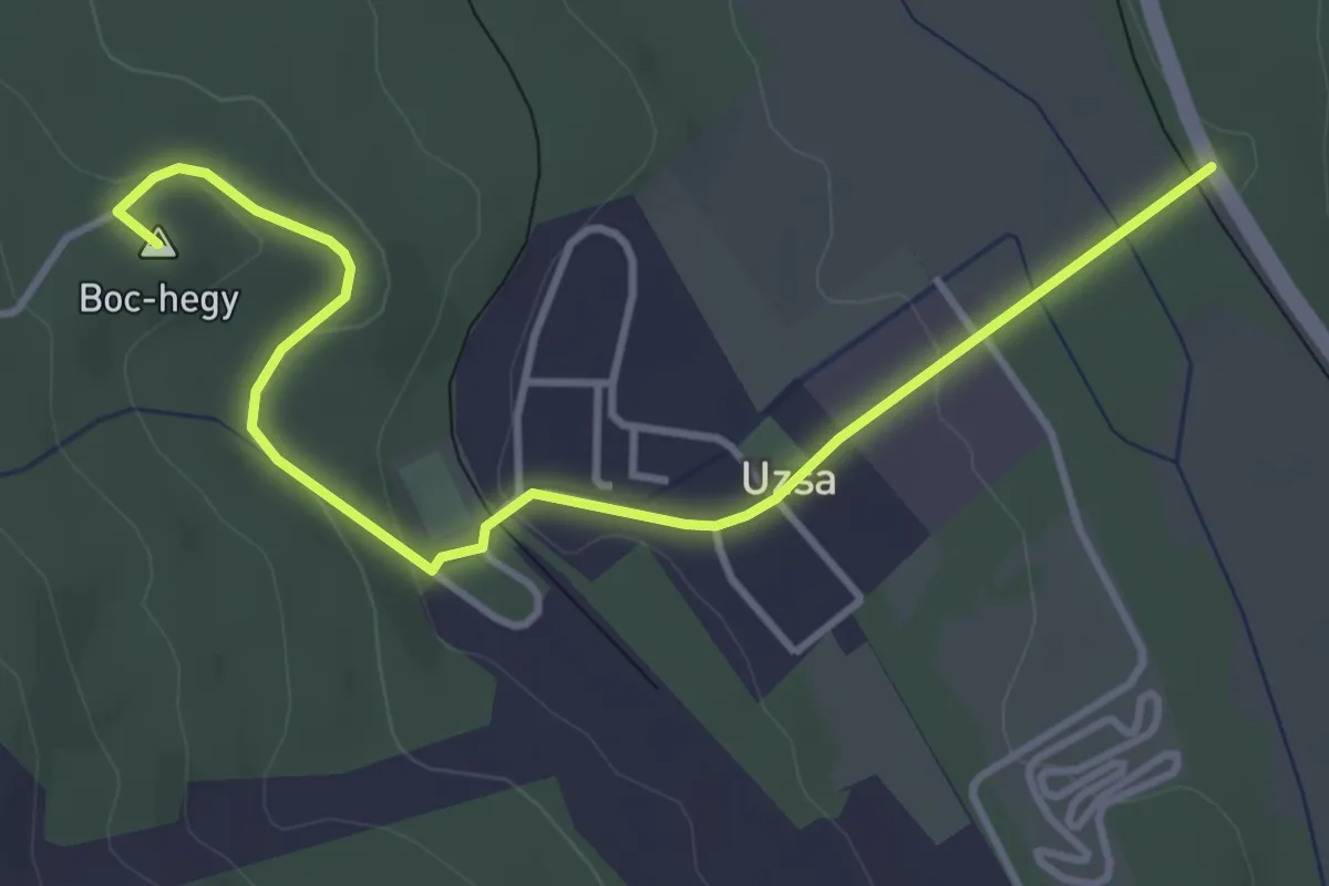
Easy · Summit
P+
4.3 km · ↑ 98 m · 1 h 13 min
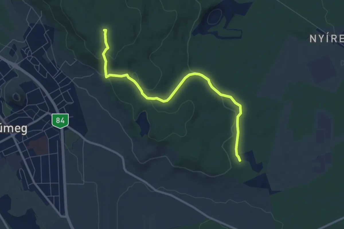
Easy · Summit
P+
7.5 km · ↑ 196 m · 2 h 12 min
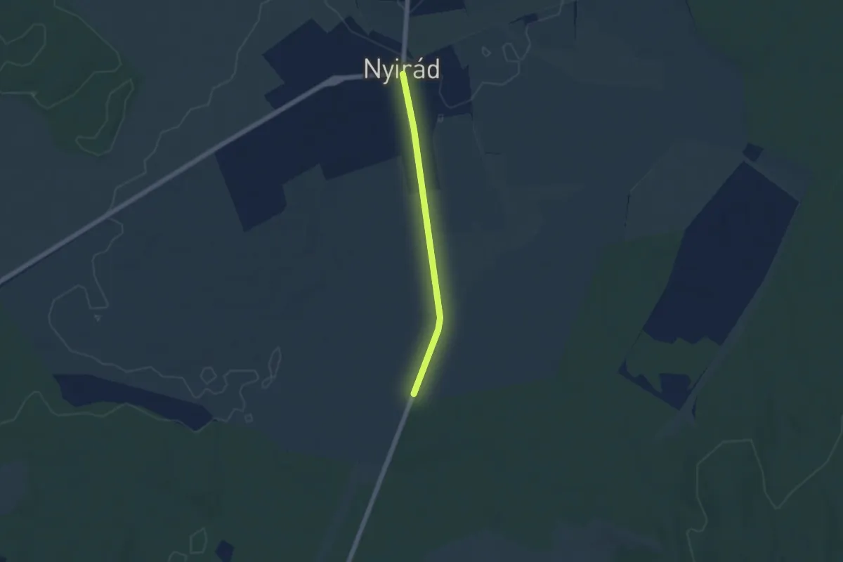
Easy · Trail
P+
4.3 km · ↑ 9 m · 1 h 1 min
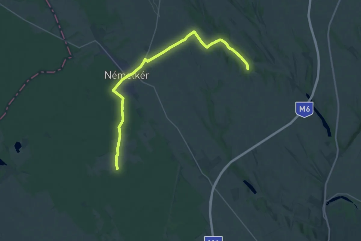
Demanding · Trail
P+
23.9 km · ↑ 181 m · 6 h 2 min
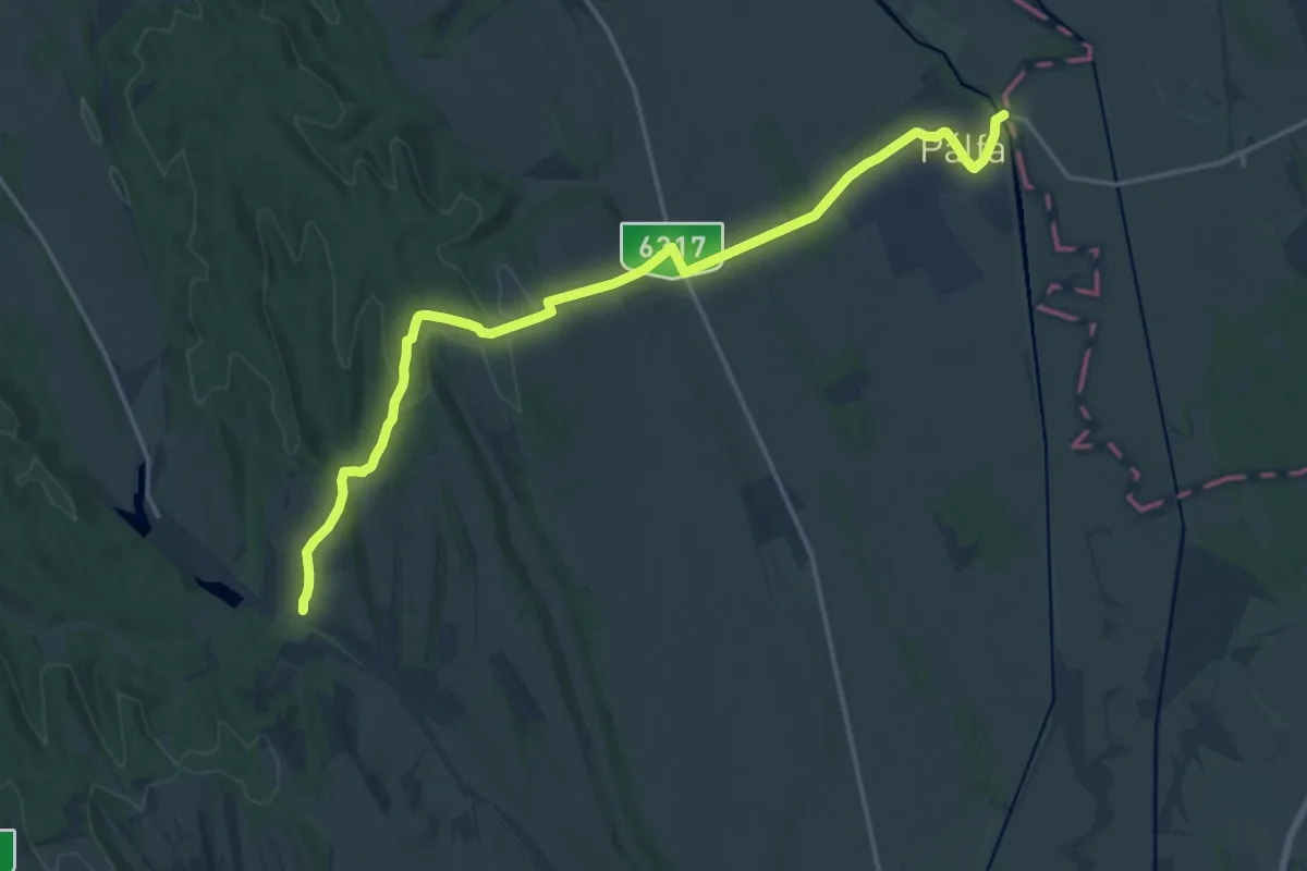
Demanding · Trail
P+
19.1 km · ↑ 291 m · 5 h 8 min
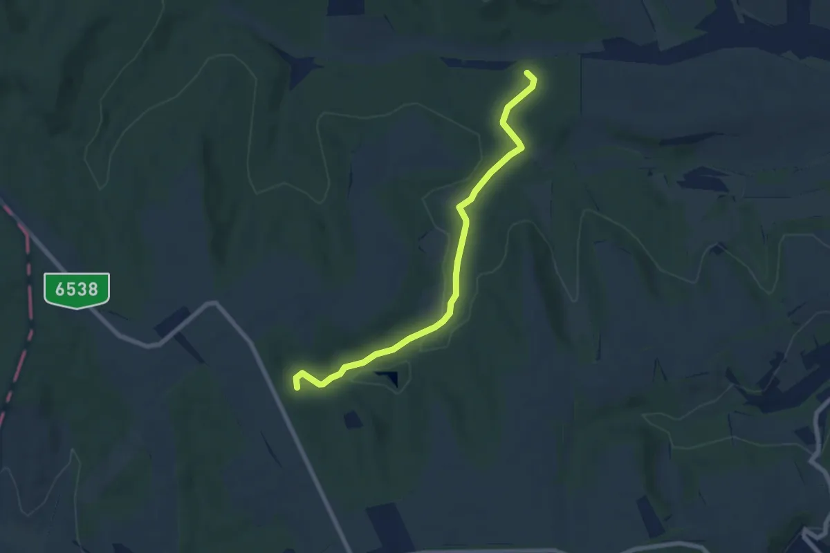
Easy · Trail
P+
6.4 km · ↑ 118 m · 1 h 46 min
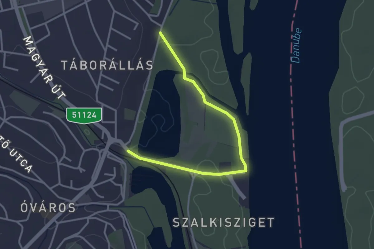
Easy · Trail
P+
3.2 km · ↑ 25 m · 48 min