Trails in Hungary
2,294 hiking trails, each with its route, climb, walking time and grade.
All trails, page 26 of 48
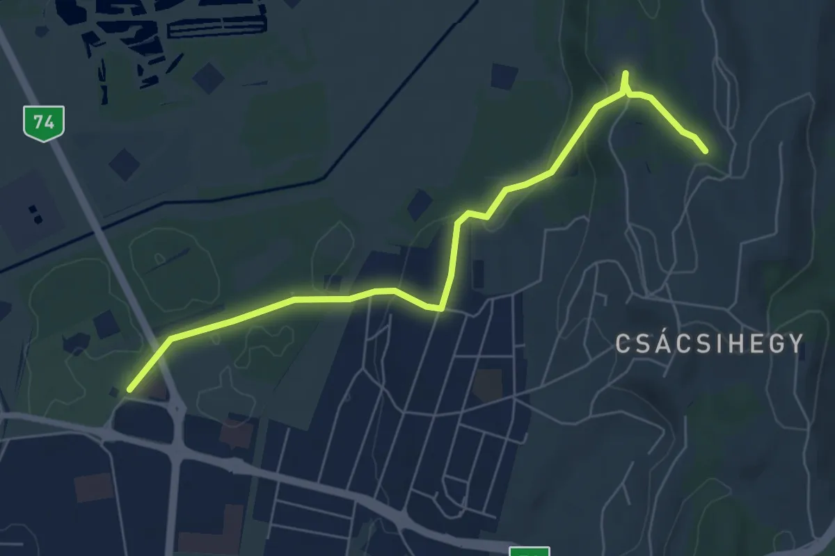
Easy · Trail
P● (Vari-kút)
6.7 km · ↑ 134 m · 1 h 52 min
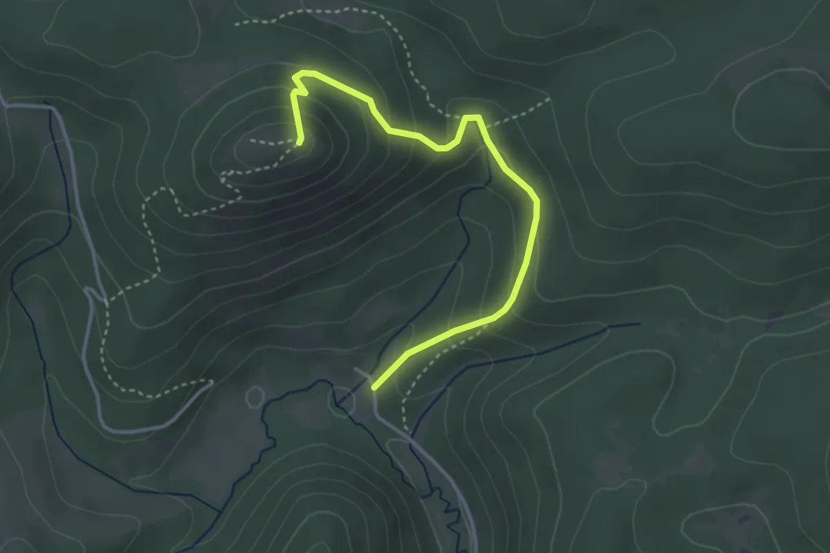
Easy · Trail
P▙ (Várkert – Szalamandra-ház)
3.5 km · ↑ 233 m · 1 h 20 min
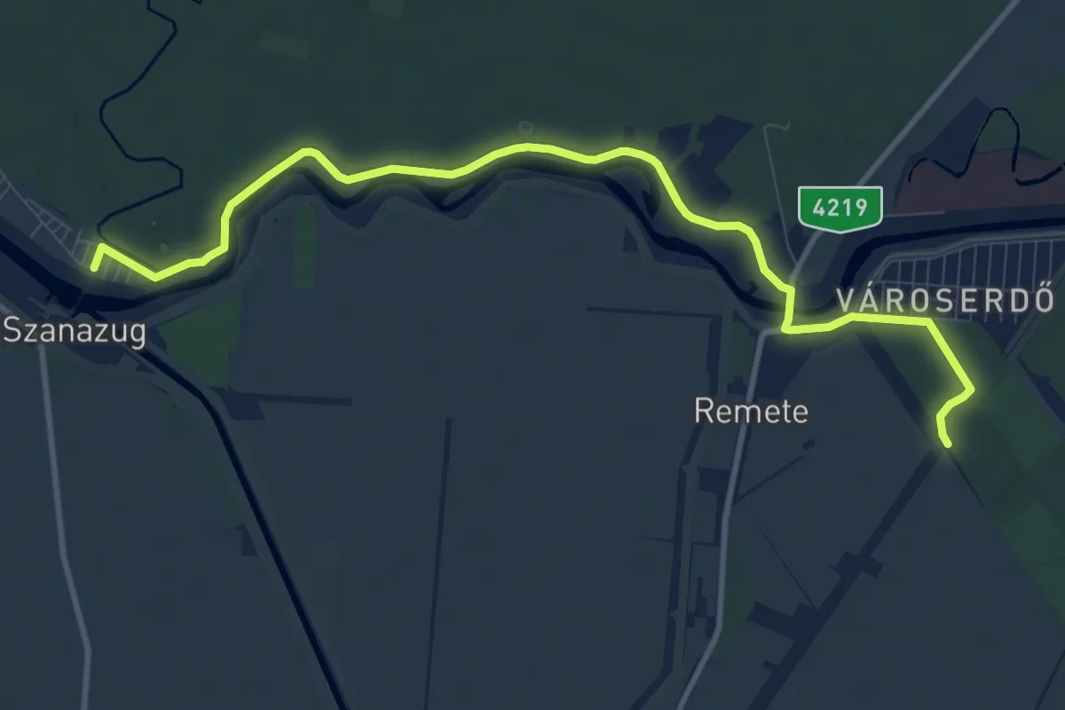
Medium · Trail
P (Városerdő vmh. – Remete – Szanazug)
11.6 km · ↑ 22 m · 2 h 46 min
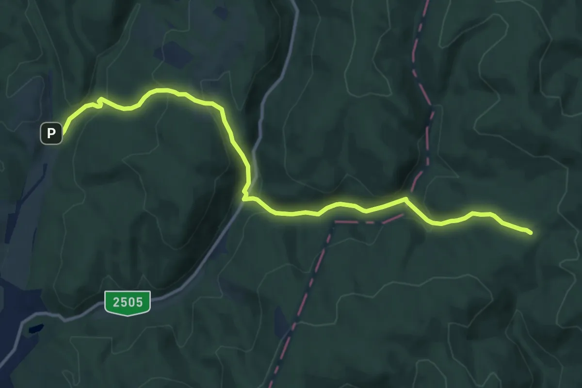
Medium · Trail
P+ (Varró-ház – Oldal-völgy)
11.0 km · ↑ 461 m · 3 h 36 min
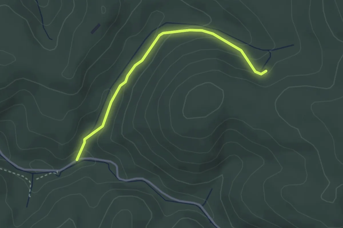
Easy · Trail
P+ (Várvölgy, Iharos-kút – Németdöglés – Somosi-kút)
3.0 km · ↑ 119 m · 59 min
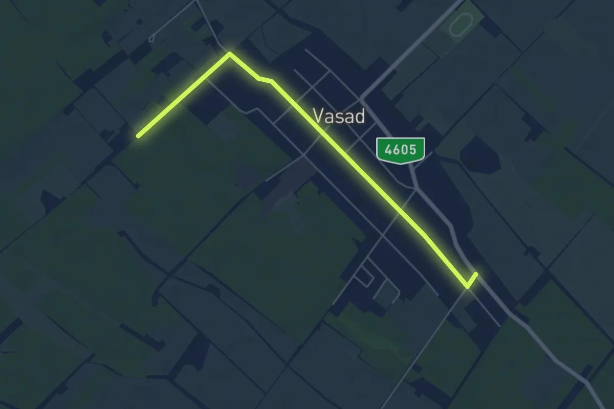
Easy · Trail
P■ (Vasad)
5.6 km · ↑ 9 m · 1 h 20 min
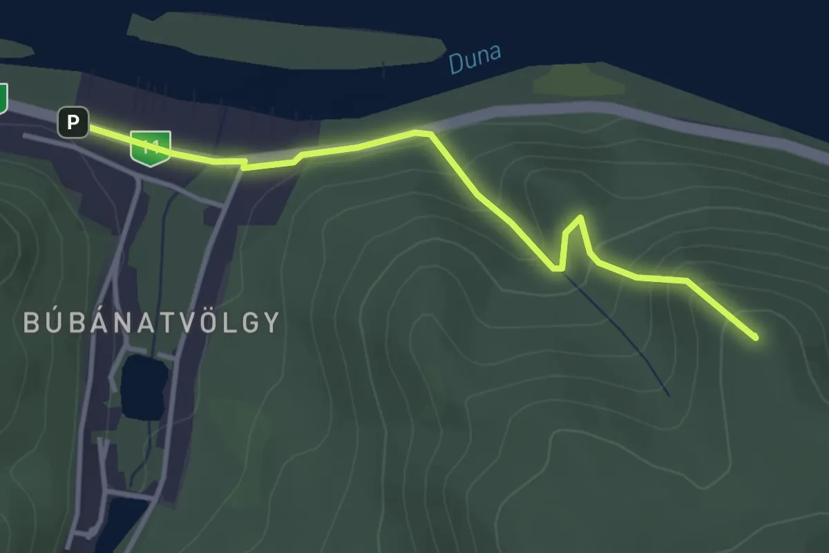
Medium · Summit
P▲ (Vasarc-erdő – Hideglelős-kereszt – Esztergom, Búbánatvölgy am.)
3.3 km · ↑ 202 m · 1 h 14 min
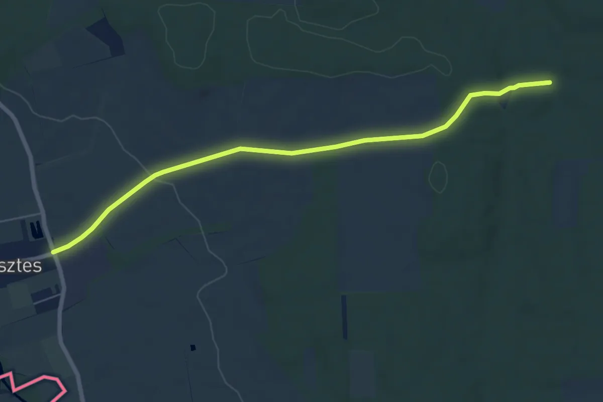
Easy · Trail
P+ (vaskeresztes)
6.4 km · ↑ 75 m · 1 h 40 min
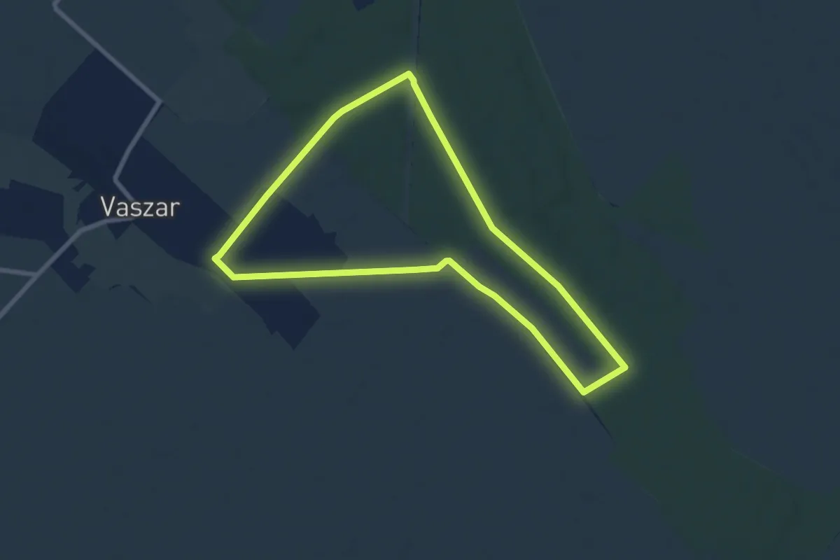
Easy · Trail
P↺ Vaszar
6.9 km · ↑ 27 m · 1 h 47 min
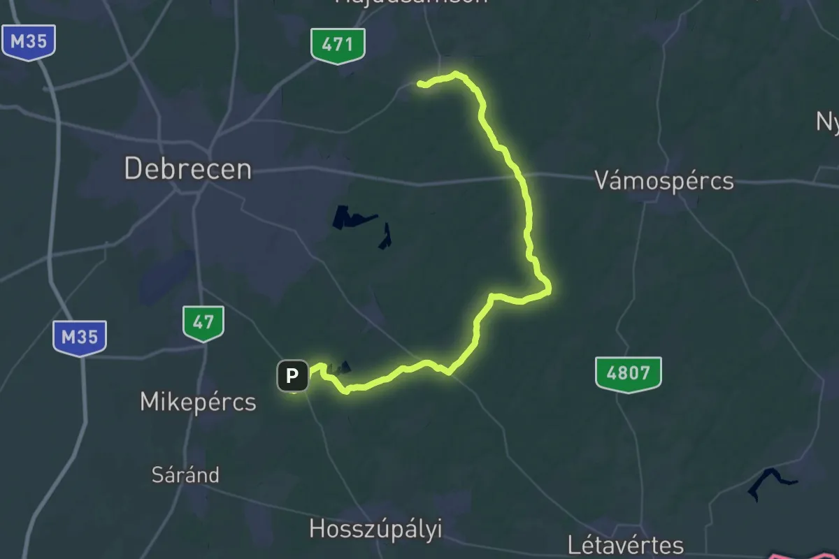
Demanding · Trail
P (Vekeri-tó pihenőközpont – "Zsuzsi" kisvasút, Sámsoni út mh. – Martinka busz végáll.)
28.8 km · ↑ 71 m · 7 h 20 min
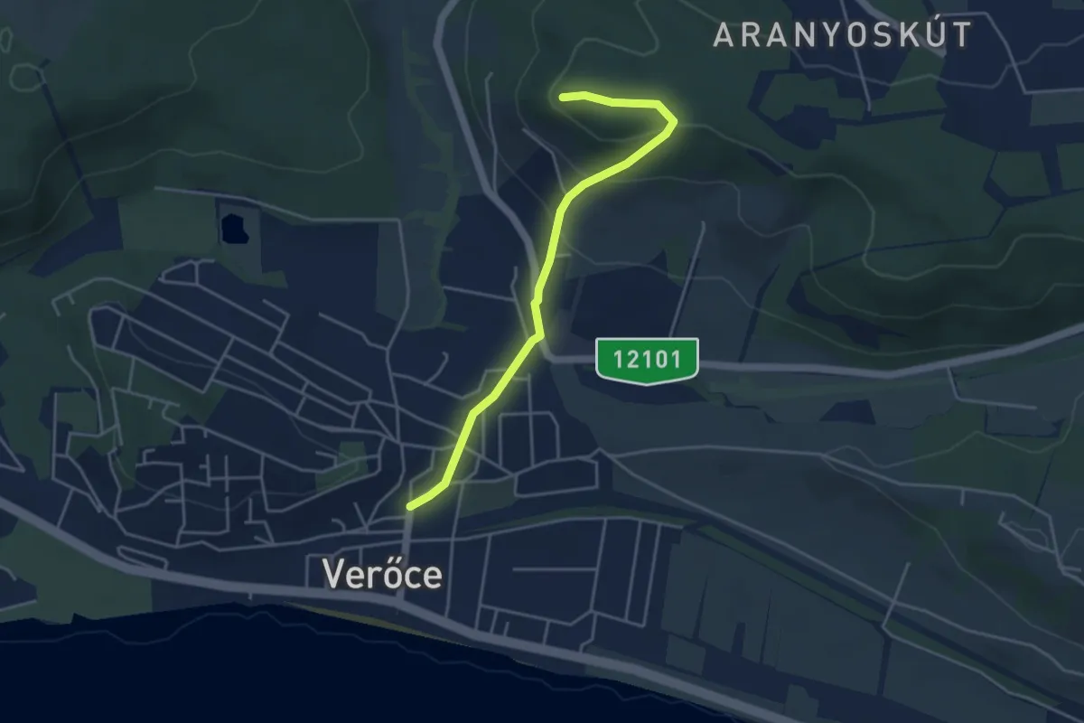
Easy · Trail
P▲ (Verőce – Borbély-hegy)
4.0 km · ↑ 170 m · 1 h 19 min
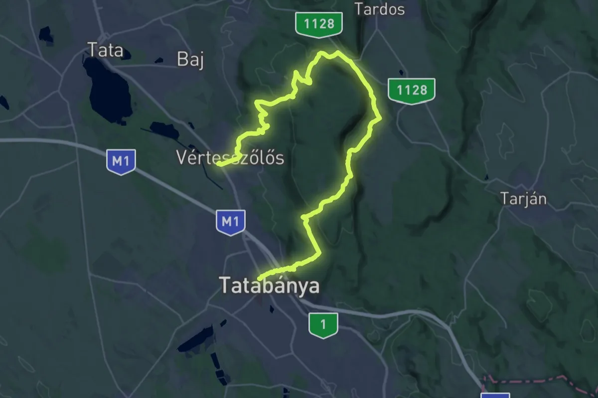
Demanding · Trail
P (Vértesszőlős, vm. – Vörös-rét – Tatabánya, vá.)
19.4 km · ↑ 635 m · 6 h 14 min
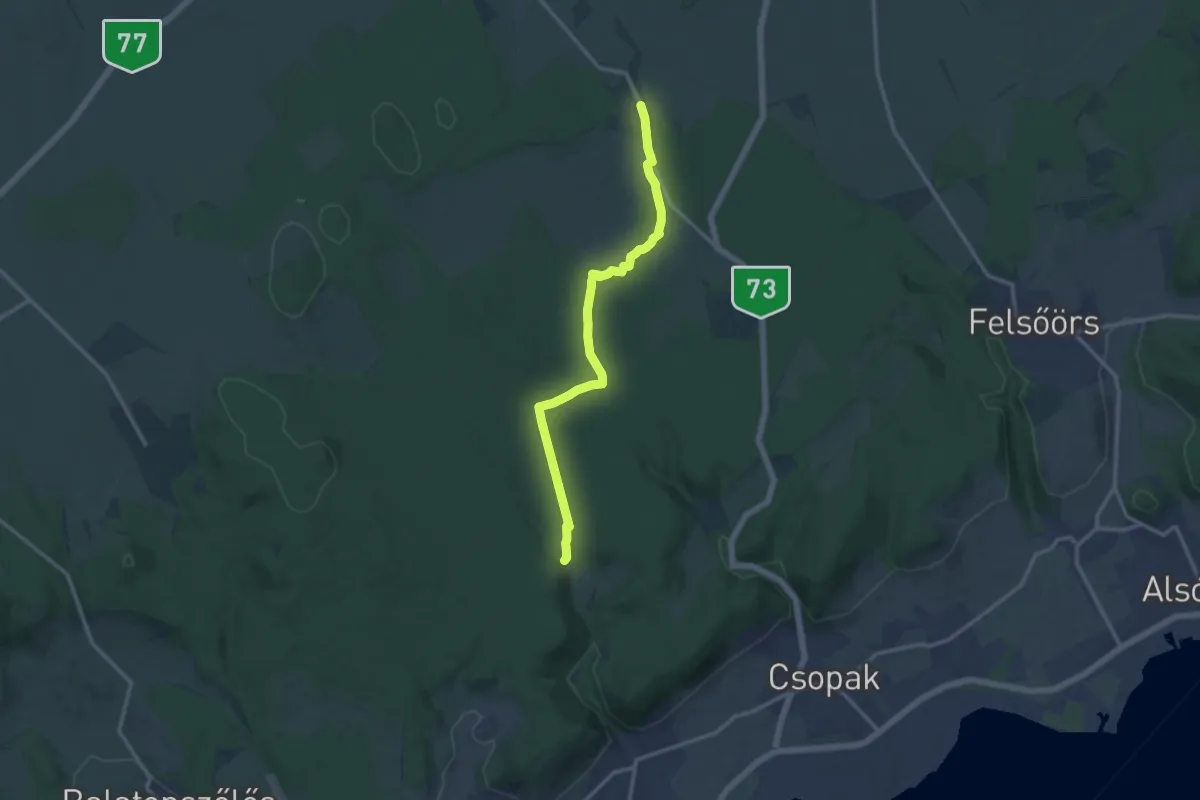
Medium · Trail
P+ (Veszprémfajsz – Koloska-völgy)
12.4 km · ↑ 122 m · 3 h 12 min
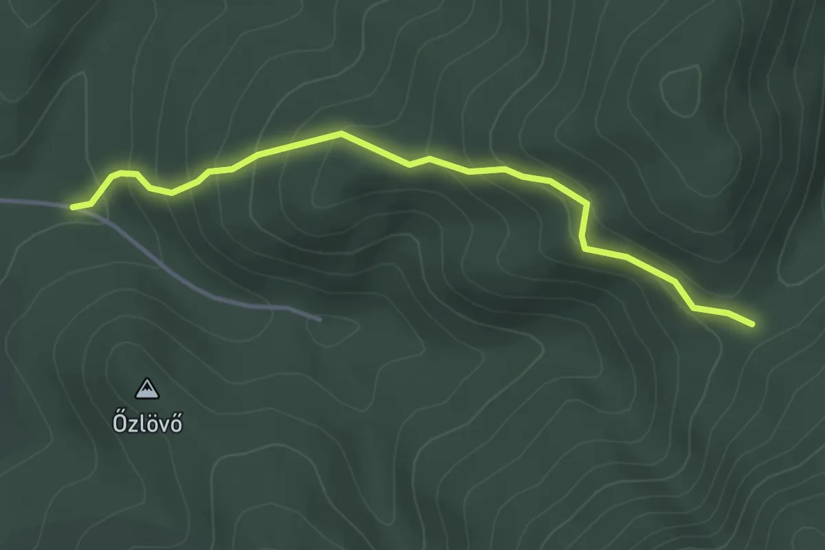
Easy · Trail
P+ (Vince-rét – Katonasírok)
3.6 km · ↑ 248 m · 1 h 23 min
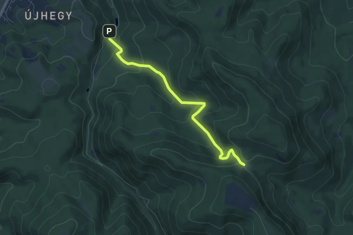
Easy · Trail
P+ (Vízverés nyerge - Bertényi Miklós Füvészkert)
6.6 km · ↑ 319 m · 2 h 14 min
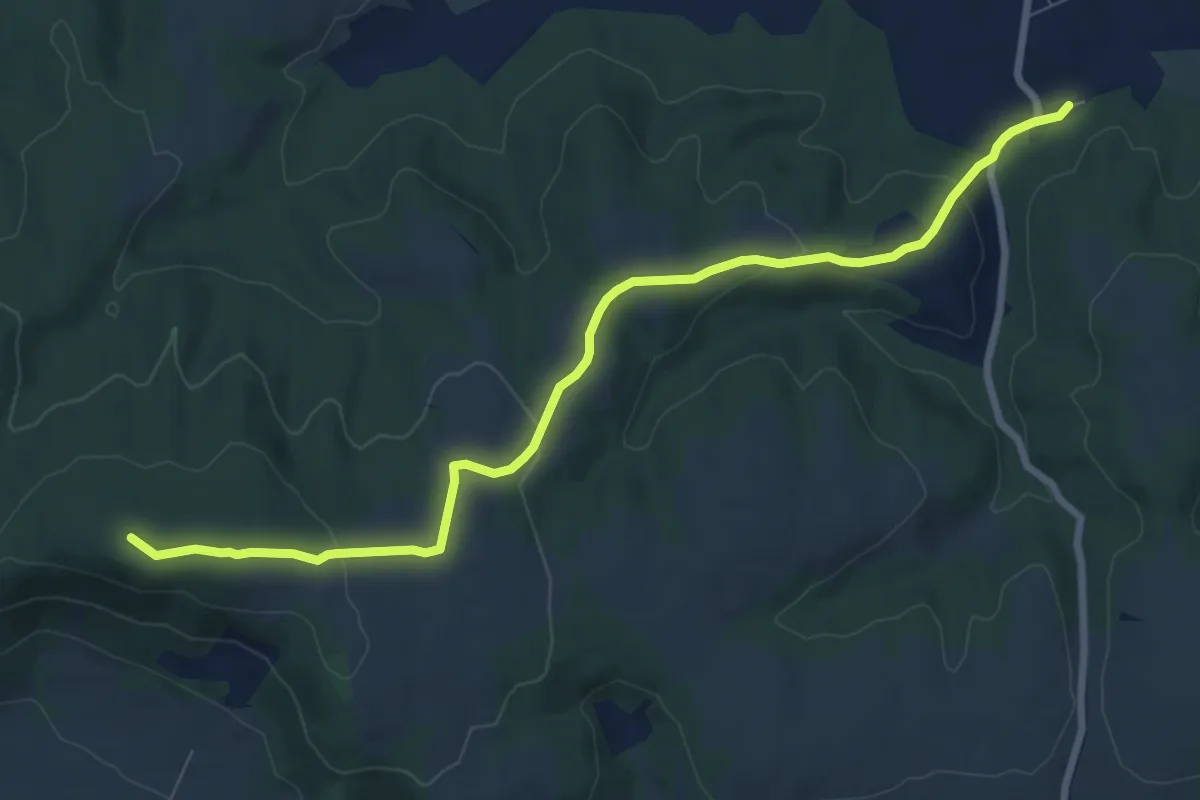
Medium · Summit
P (Vokány, vá. – Csukma-hegy – Máriagyűd, v.m. – Harkány, aut. ál.)
8.8 km · ↑ 213 m · 2 h 33 min
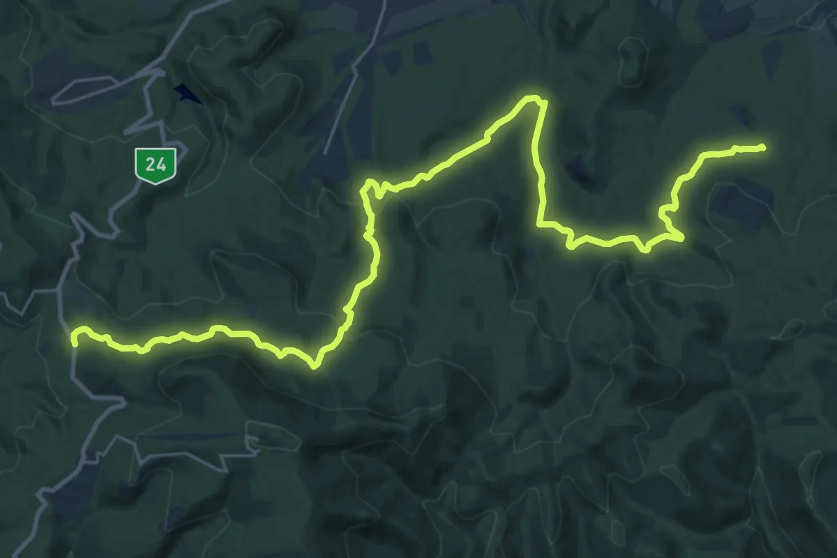
Medium · Trail
P+ (Vörösmarty th. – Recsk)
15.6 km · ↑ 573 m · 4 h 59 min
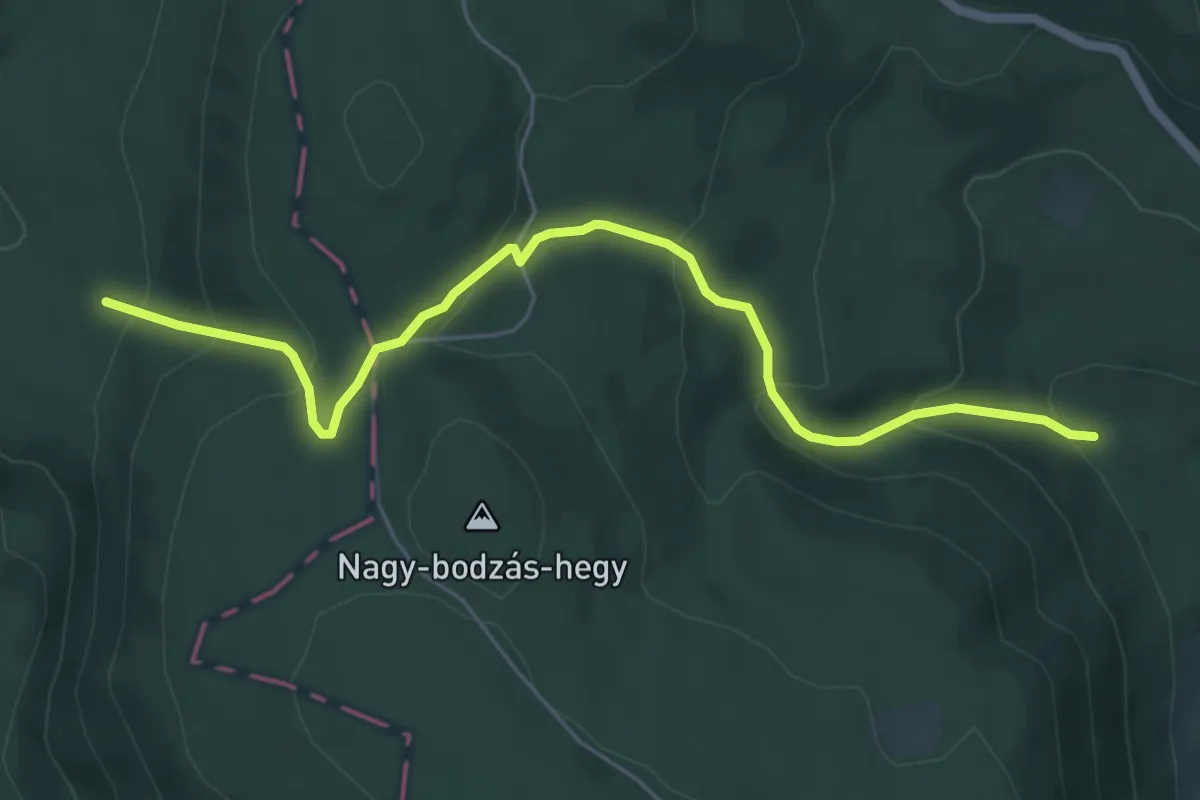
Medium · Trail
P+ (Vörös út – Simon halála – Mária-pad)
6.0 km · ↑ 386 m · 2 h 16 min
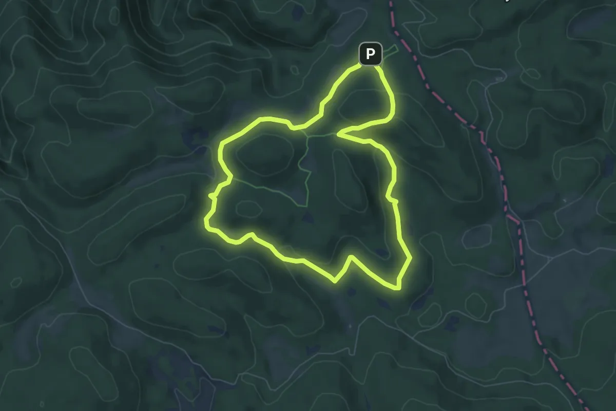
Easy · Summit
PX
6.4 km · ↑ 114 m · 1 h 51 min
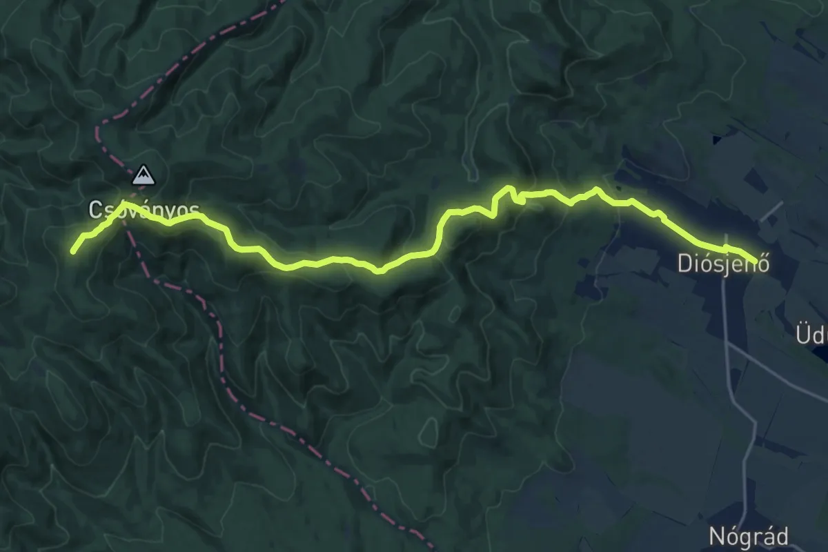
Demanding · Summit
Px (Diósjenő-Királyrét) nyáron turistaút
20.7 km · ↑ 710 m · 6 h 25 min
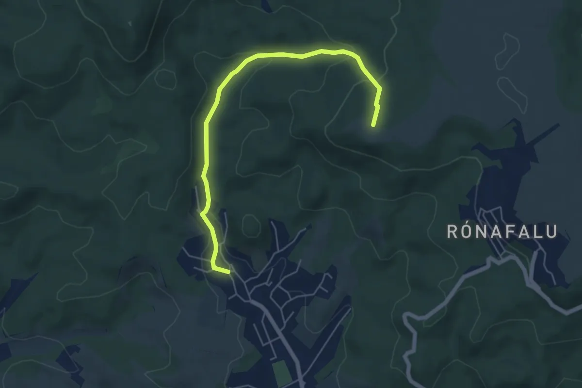
Easy · Summit
P● (Zagyva-forrás)
5.3 km · ↑ 194 m · 1 h 40 min
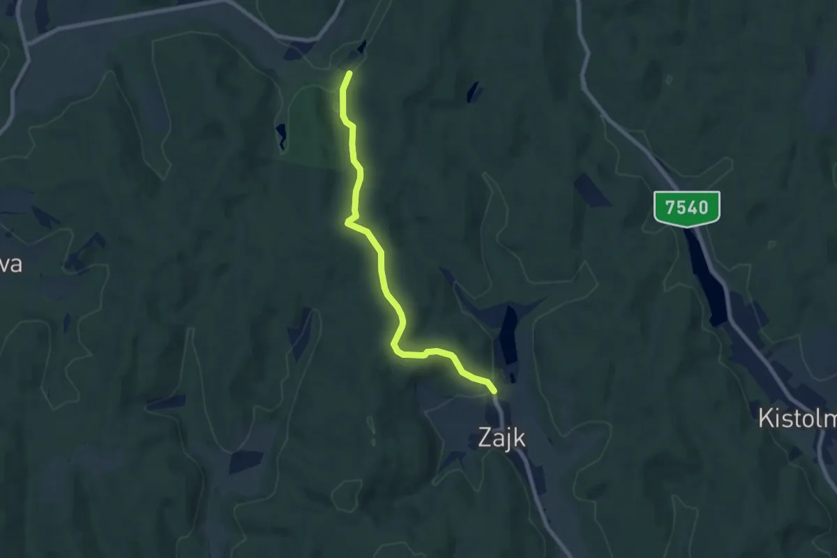
Easy · Trail
P+ (Zajk)
6.8 km · ↑ 168 m · 1 h 58 min
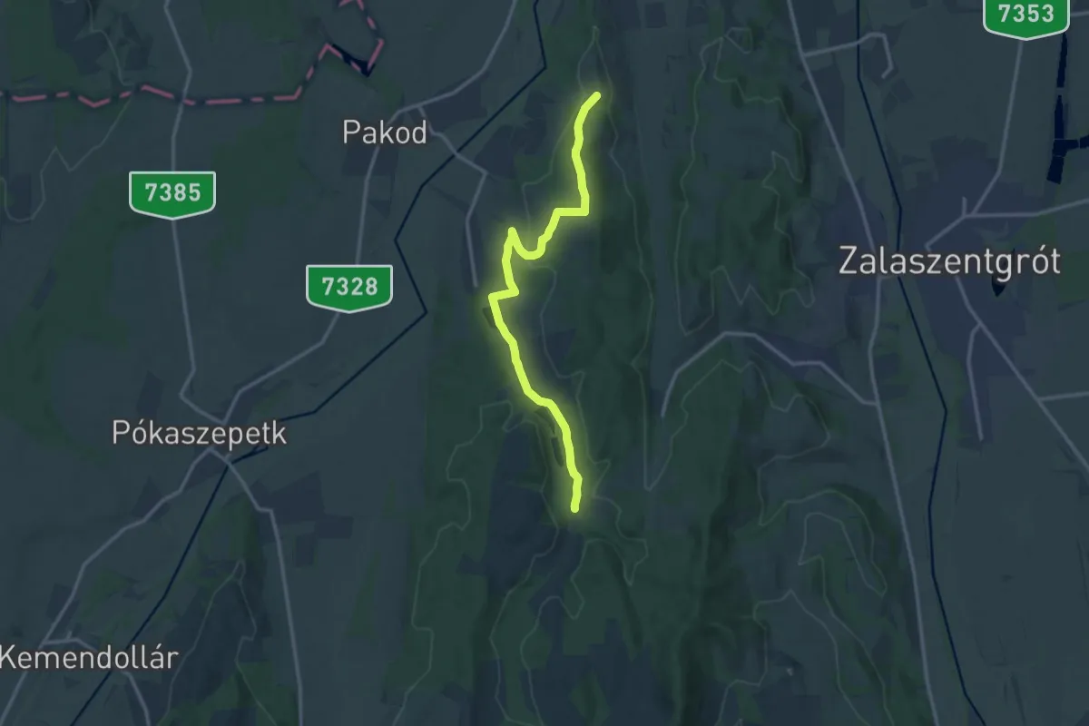
Medium · Trail
P▲ (Zalabér Szent Antal kápolna)
13.0 km · ↑ 239 m · 3 h 35 min
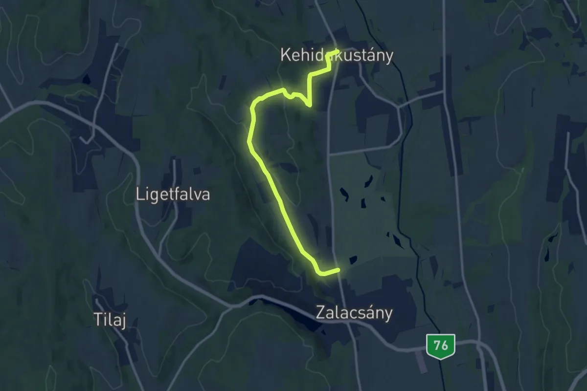
Medium · Trail
P+ (Zalacsány-Kehidakustány)
11.1 km · ↑ 256 m · 3 h 11 min
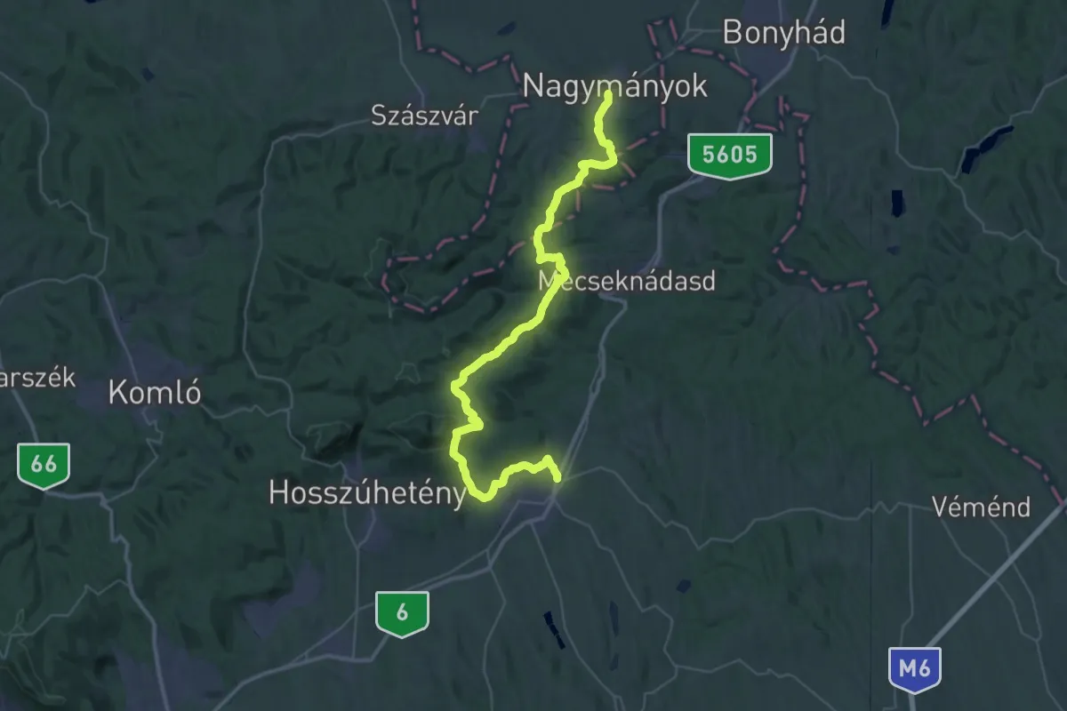
Demanding · Trail
P+ (Zengővárkony – Pécsvárad – Réka-völgy – Nagymányok)
23.8 km · ↑ 612 m · 7 h 13 min
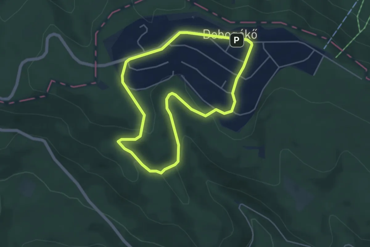
Easy · Summit
P↺, Zsivány körút (Dobogókő, hegytető aut. vá . – Zsivány-sziklák)
3.9 km · ↑ 97 m · 1 h 11 min
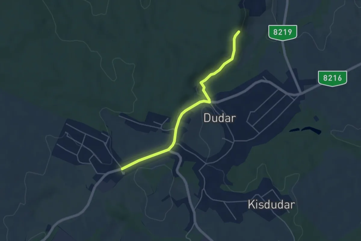
Easy · Trail
PΩ
4.4 km · ↑ 80 m · 1 h 13 min
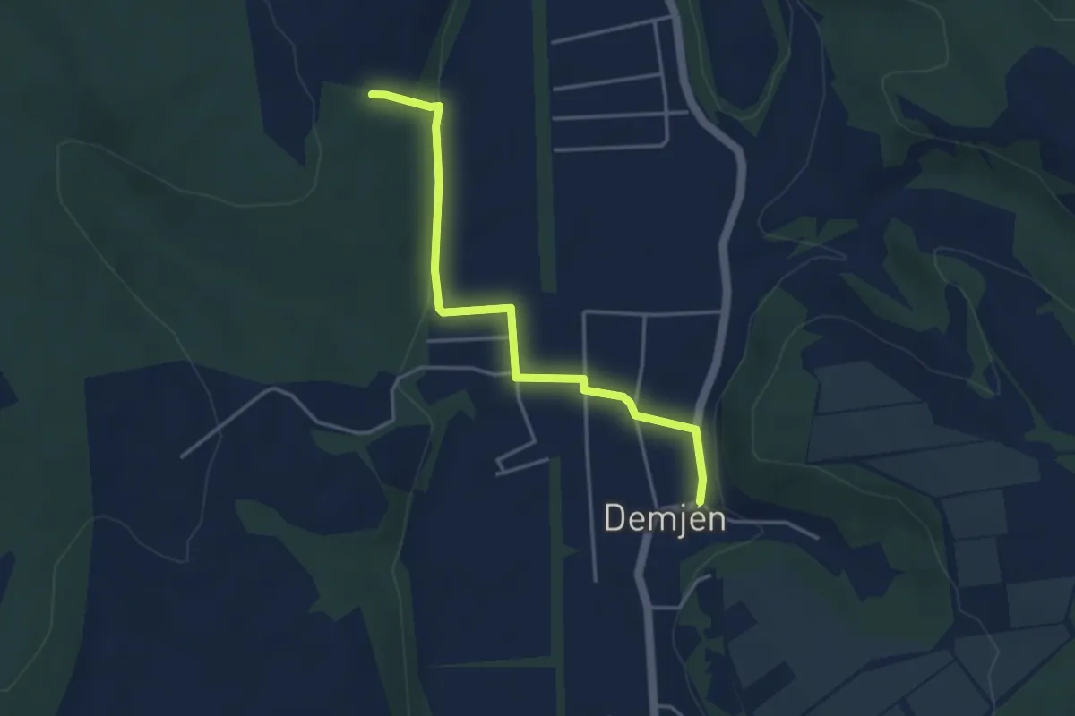
Easy · Trail
PΩ (Demjén)
3.7 km · ↑ 49 m · 59 min
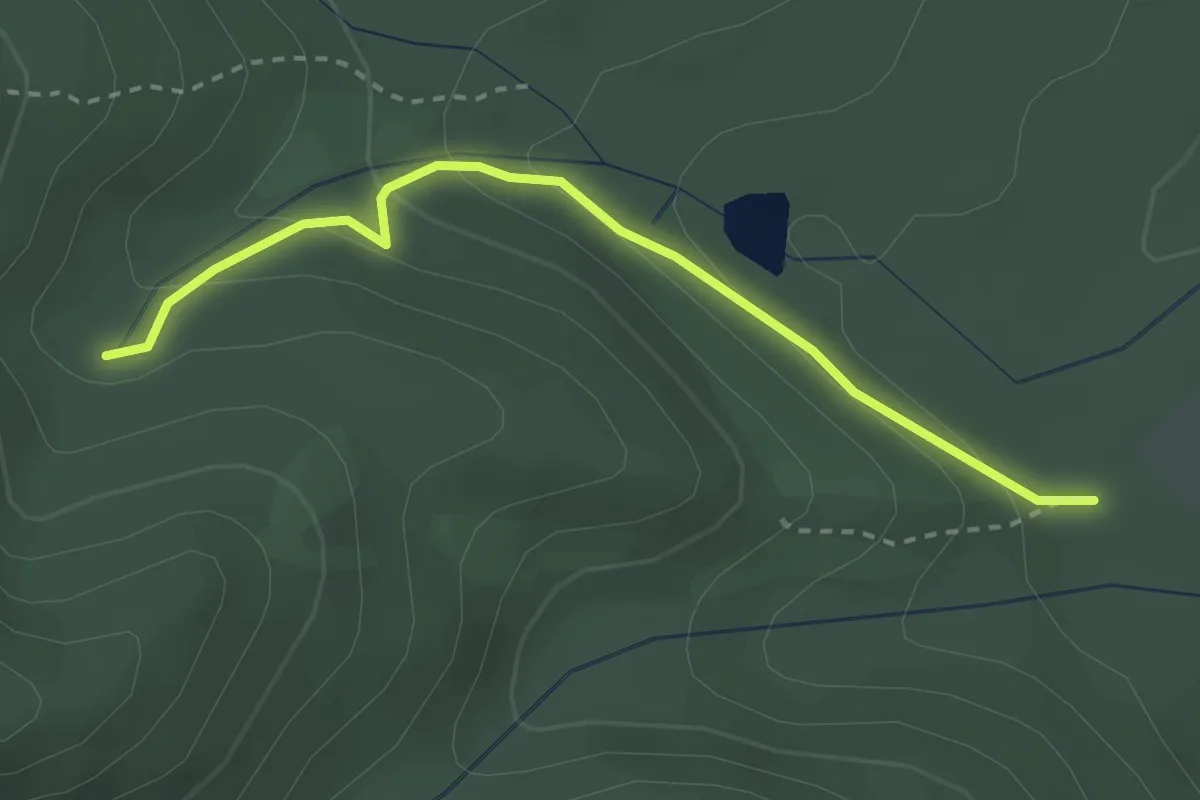
Medium · Trail
PΩ (Parádsasvár – Béke tárő )
2.7 km · ↑ 148 m · 58 min
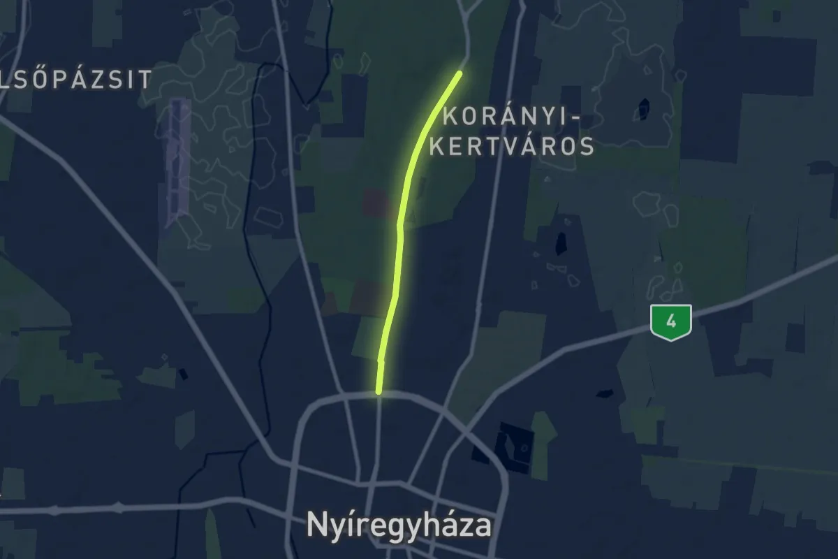
Easy · Trail
Reformáció emlékút
5.7 km · ↑ 18 m · 1 h 23 min
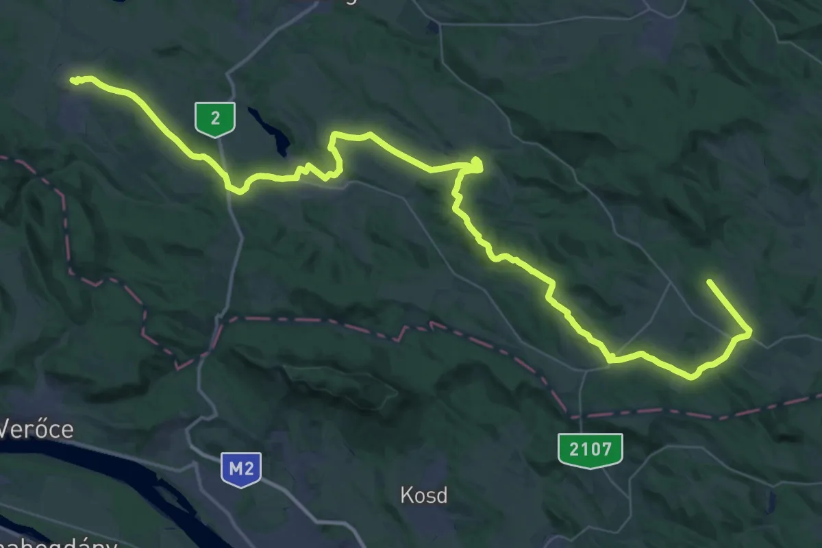
Demanding · Trail
Reformáció Emlékút 1 (Egyházasdengeleg – Nógrád)
30.0 km · ↑ 370 m · 8 h 20 min
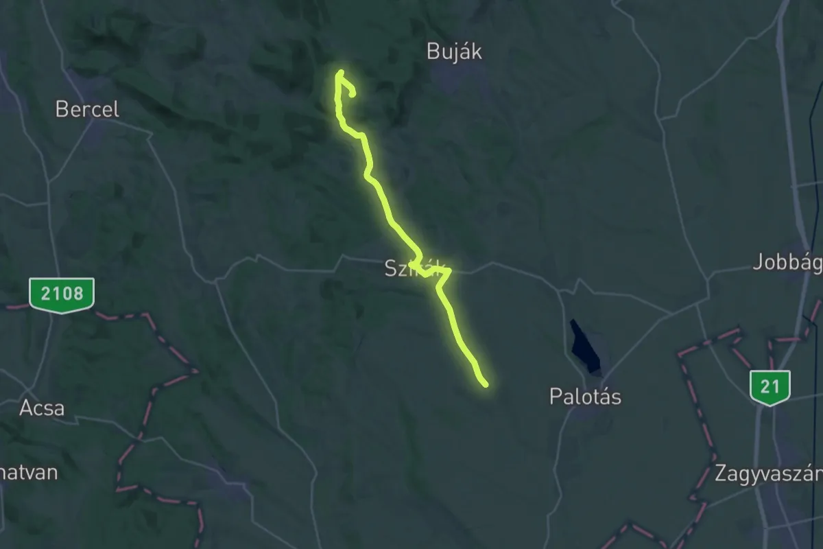
Demanding · Trail
Reformációi Emlékút
25.1 km · ↑ 244 m · 6 h 27 min
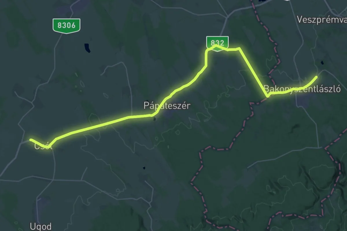
Demanding · Pilgrim path
Reformáció útja (Pápa)
21.5 km · ↑ 141 m · 5 h 41 min
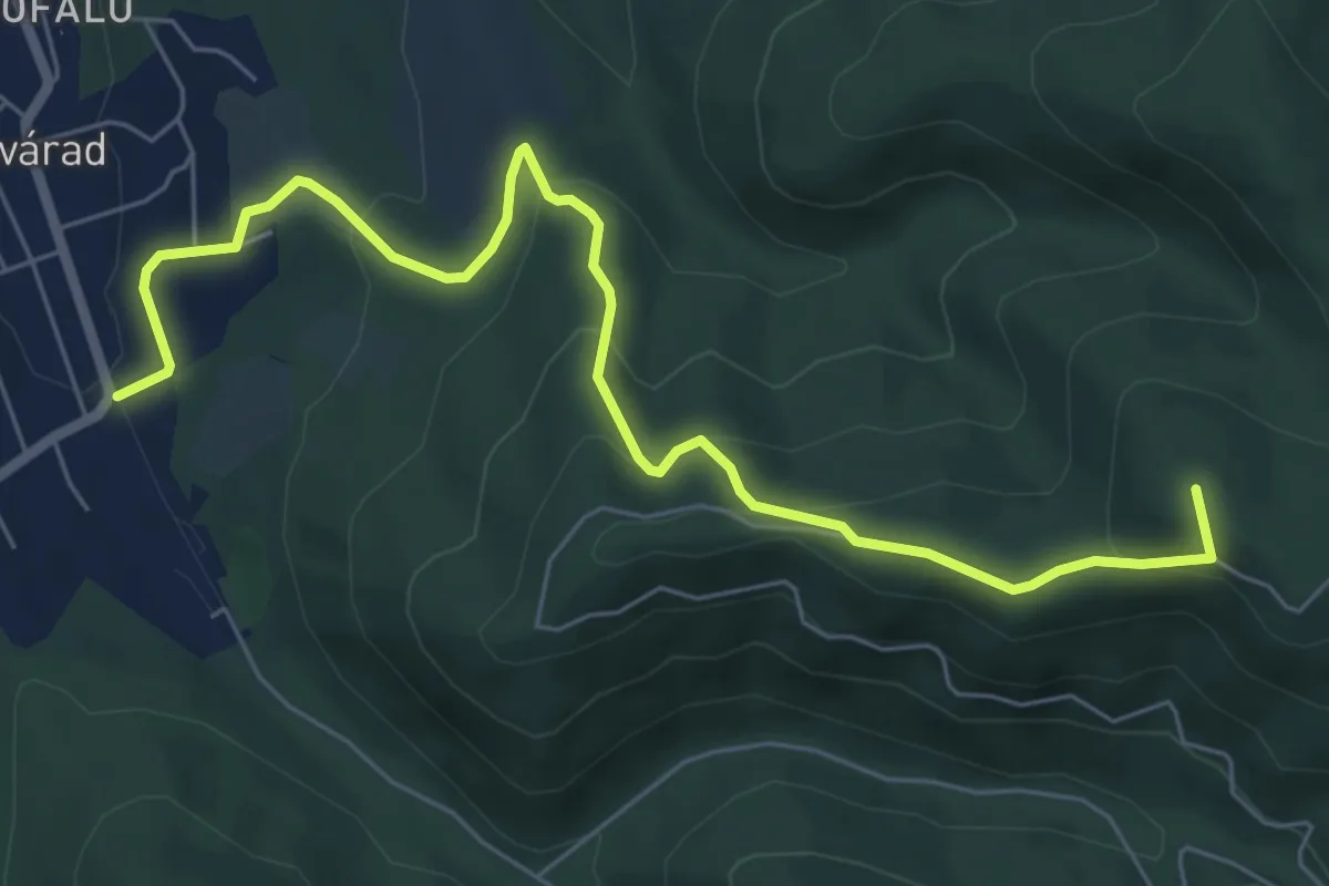
Medium · Summit
régi S+ (Szilvásvárad – Grennavár-nyerge)
7.3 km · ↑ 370 m · 2 h 31 min
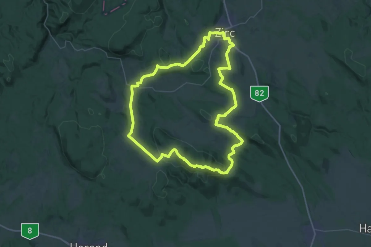
Demanding · Summit
Reguly Antal-emlékút (Zirc 35)
34.9 km · ↑ 734 m · 10 h 19 min
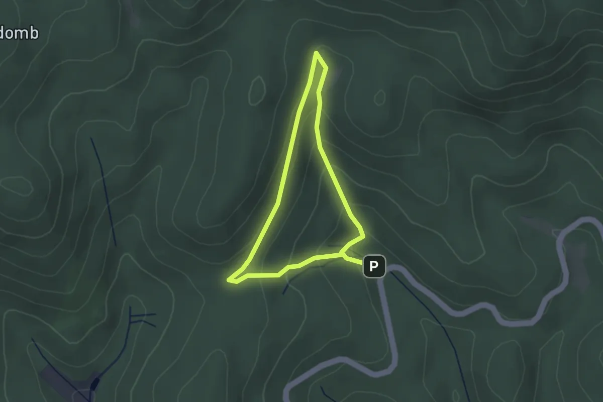
Easy · Trail
Rejteki tanösvény (kis kör)
2.2 km · ↑ 107 m · 46 min
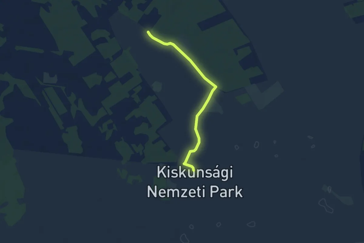
Easy · Trail
Rekettye tanösvény
5.0 km · ↑ 14 m · 1 h 13 min
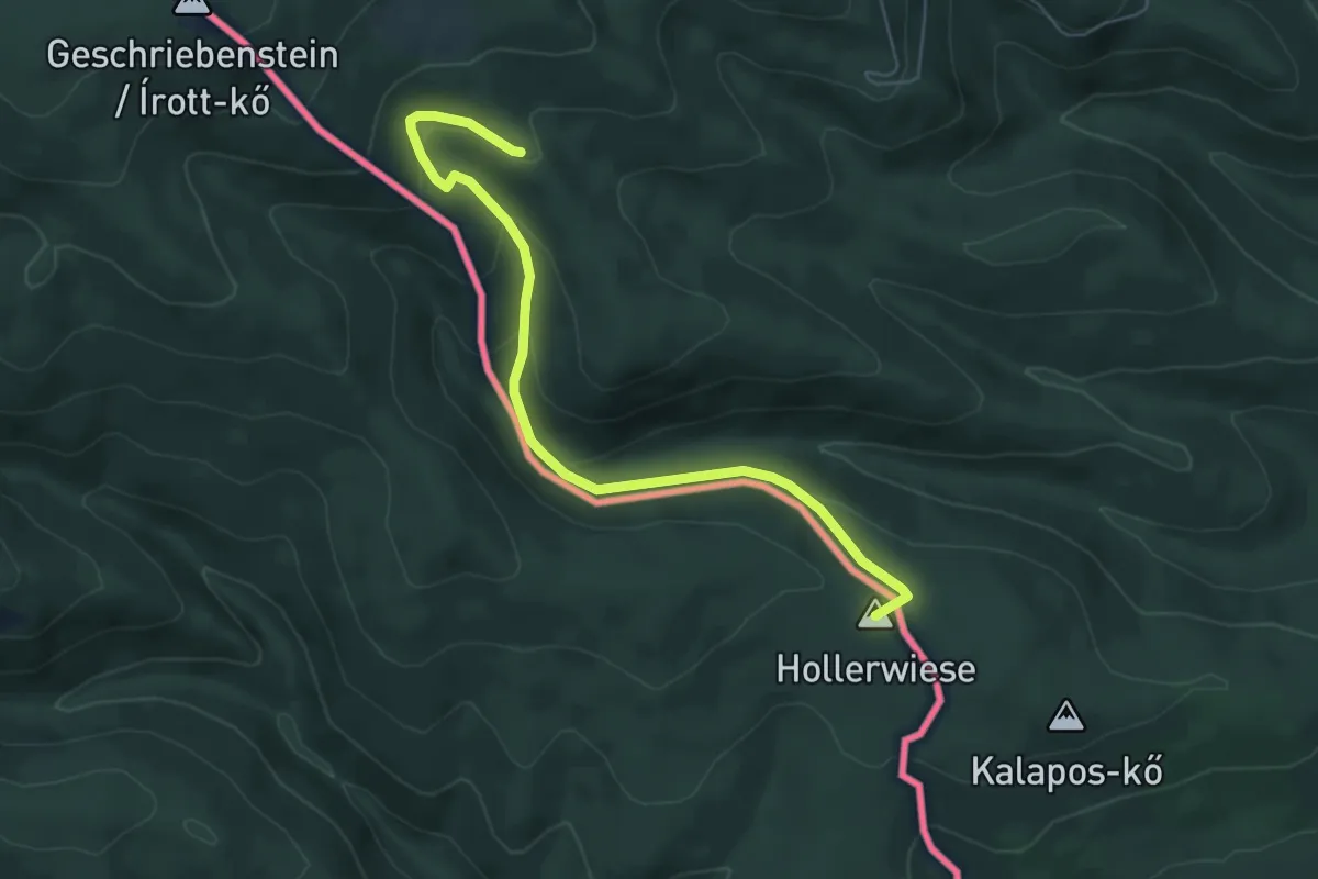
Easy · Summit
Rockenbauer Pál Dél-dunántúli Kéktúra
6.2 km · ↑ 259 m · 2 h 2 min
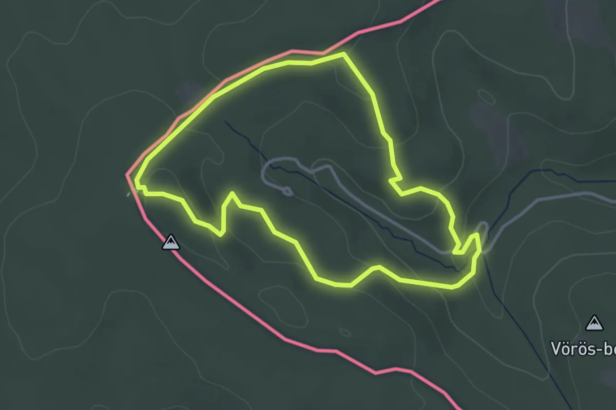
Easy · Cabin
Roth Gyula Emlékerdő tanösvény
3.2 km · ↑ 114 m · 1 h 3 min
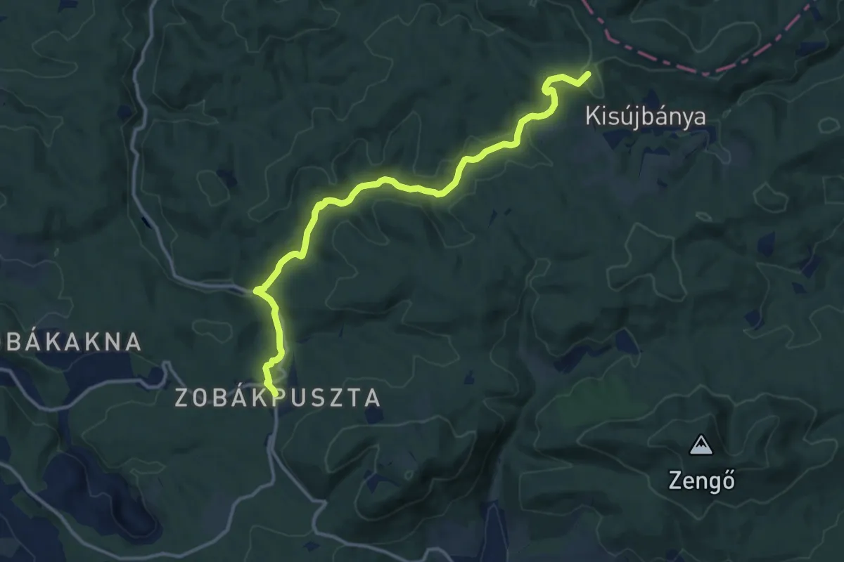
Medium · Summit
RPDDK 10/1 (Zobákpuszta – Kisújbánya)
13.2 km · ↑ 335 m · 3 h 51 min
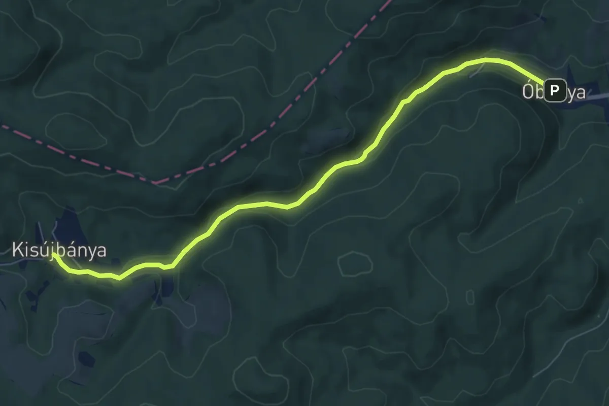
Easy · Trail
RPDDK 10/2 (Kisújbánya – Óbánya)
7.9 km · ↑ 153 m · 2 h 11 min
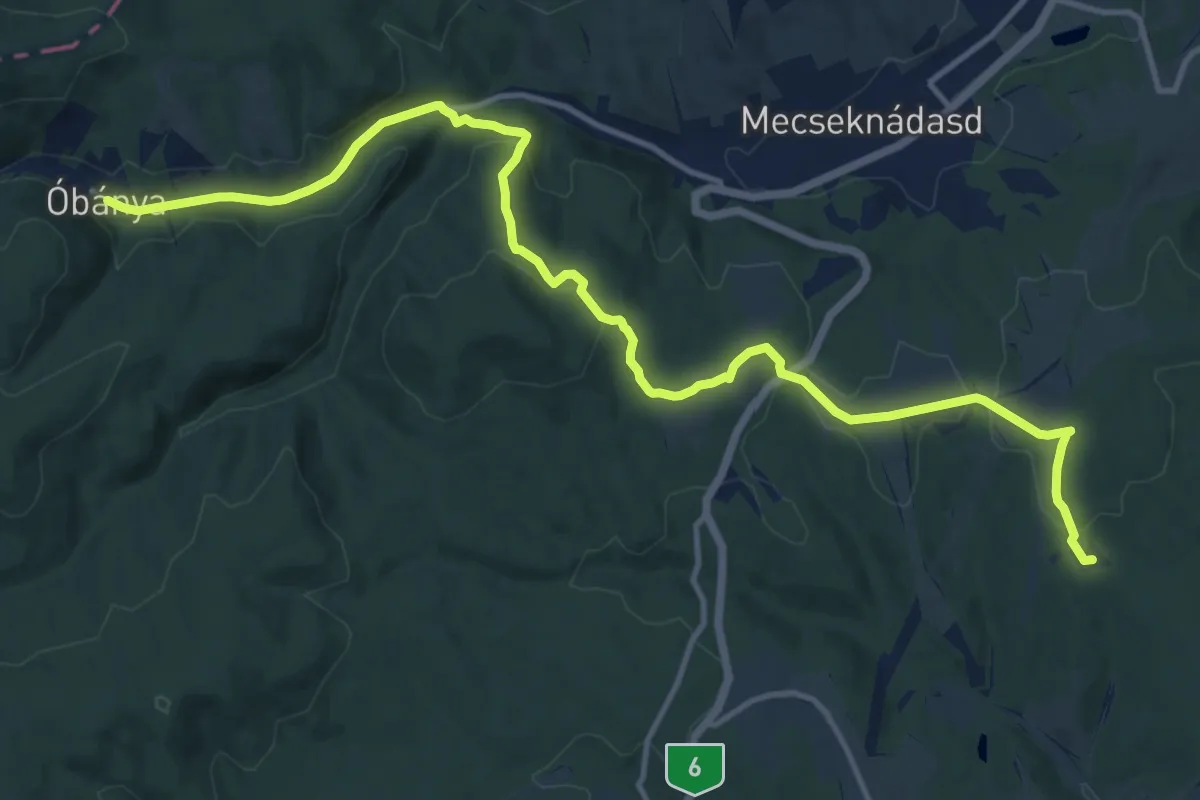
Medium · Trail
RPDDK 10/3 (Óbánya – Apátvarasd)
15.8 km · ↑ 390 m · 4 h 35 min
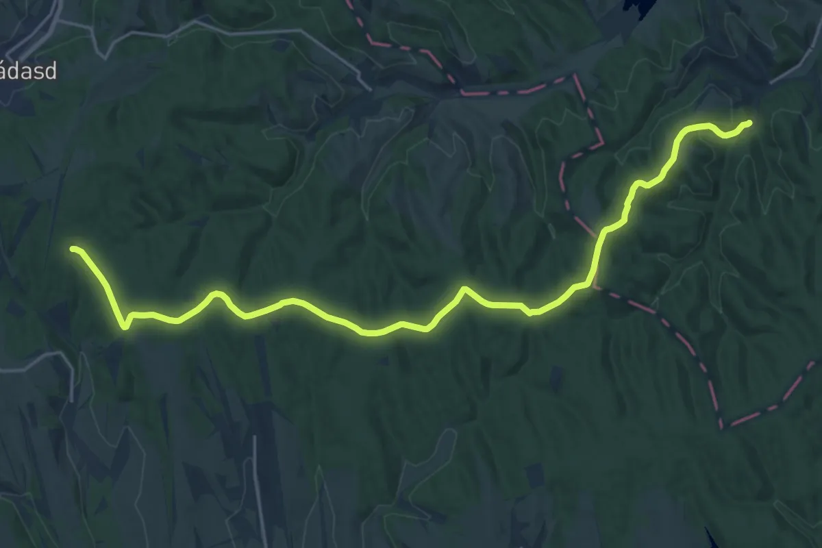
Demanding · Trail
RPDDK 10/4 (Apátvarasd – Bátaapáti)
24.0 km · ↑ 279 m · 6 h 17 min
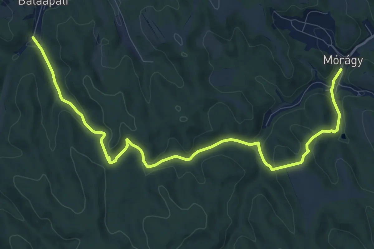
Medium · Trail
RPDDK 10/5 (Bátaapáti – Mórágy)
12.1 km · ↑ 387 m · 3 h 41 min
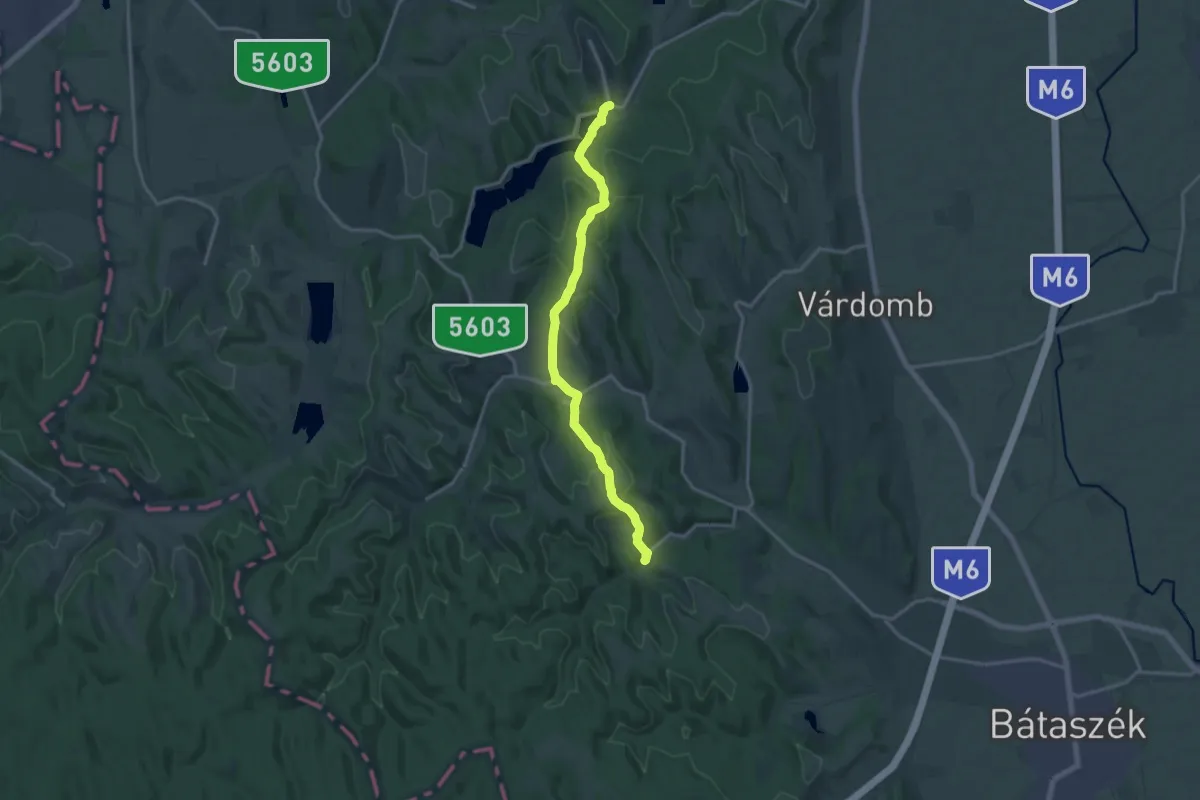
Medium · Trail
RPDDK 11/1 (Mórágy – Szálka)
15.9 km · ↑ 429 m · 4 h 41 min
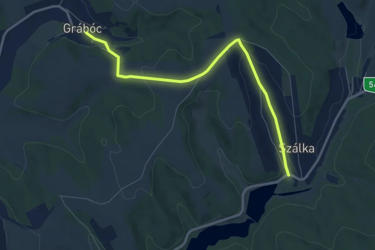
Easy · Trail
RPDDK 11/2 (Szálka – Grábóc)
7.4 km · ↑ 179 m · 2 h 9 min
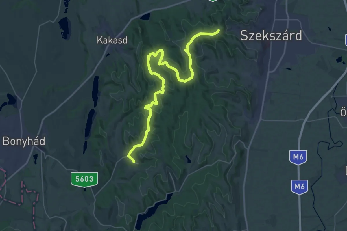
Demanding · Summit
RPDDK 11/3 (Grábóc – Szekszárd)
32.2 km · ↑ 704 m · 9 h 7 min
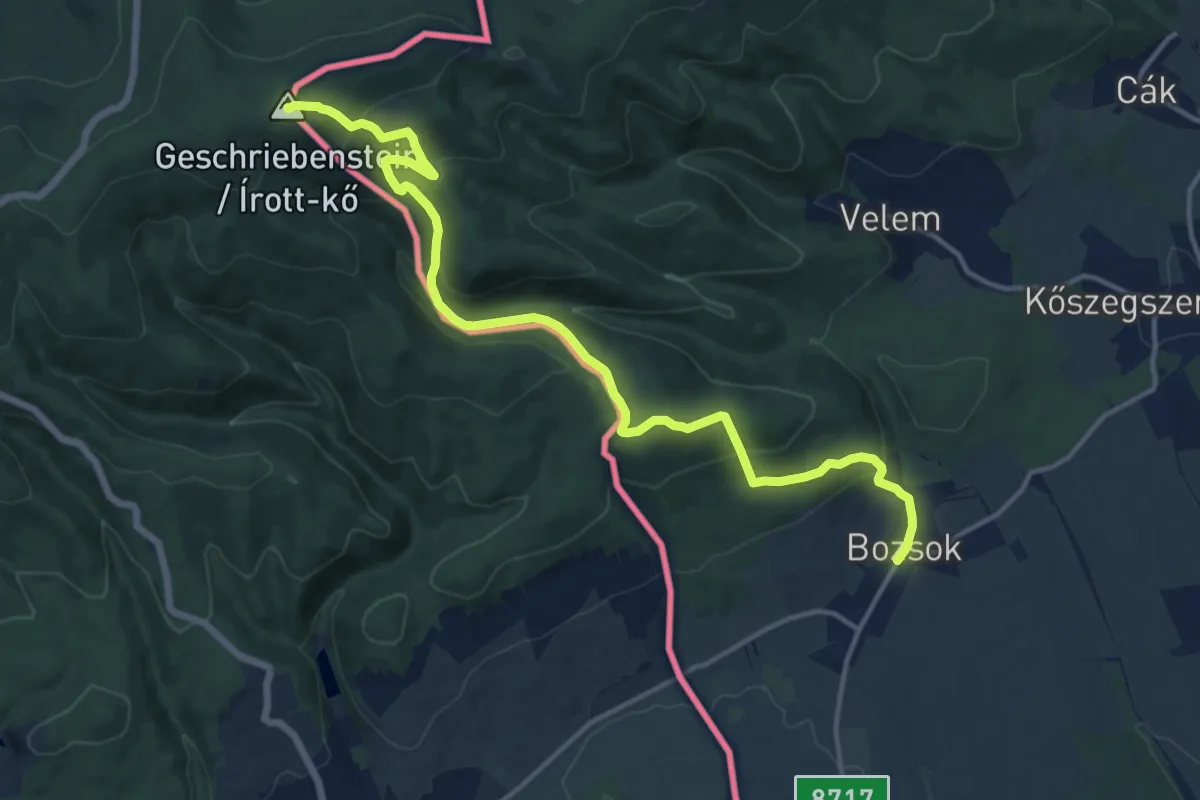
Medium · Summit
RPDDK 1/1 (Írott-kő – Bozsok)
15.7 km · ↑ 759 m · 5 h 21 min