Trails in Hungary
2,294 hiking trails, each with its route, climb, walking time and grade.
All trails, page 29 of 48
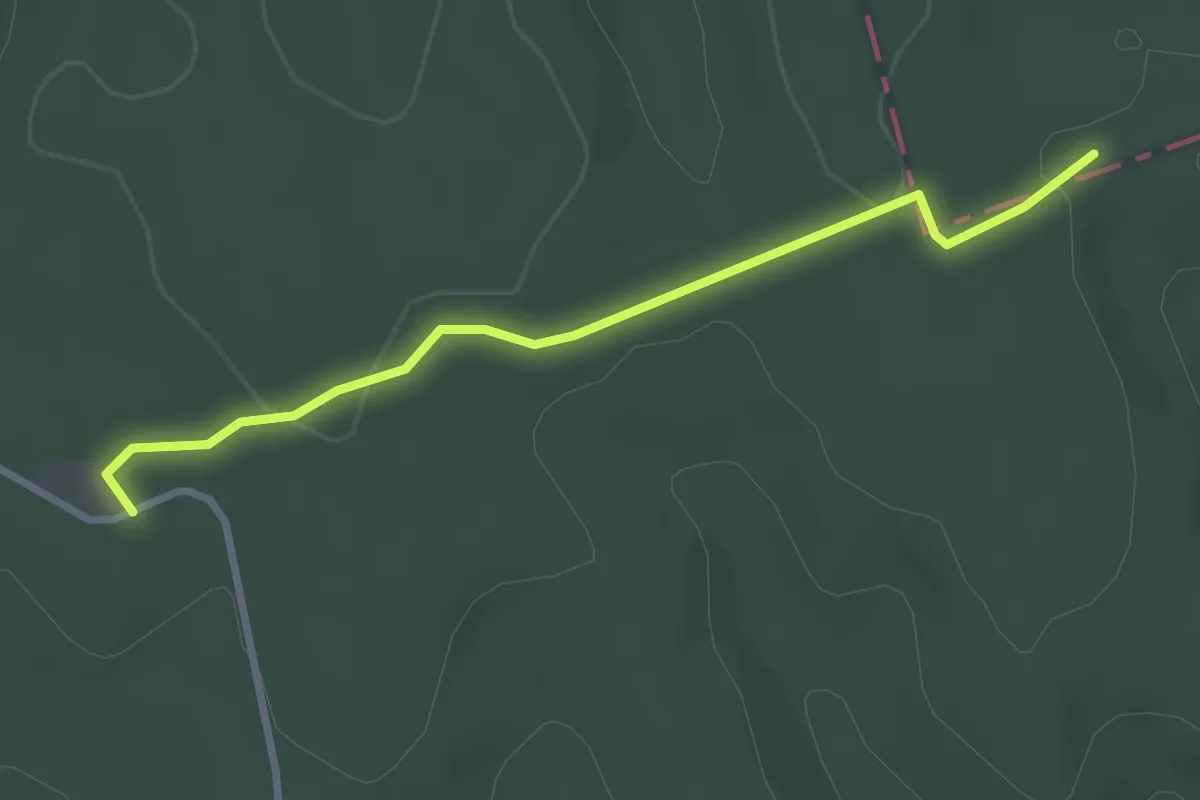
Easy · Trail
S4
2.9 km · ↑ 52 m · 48 min
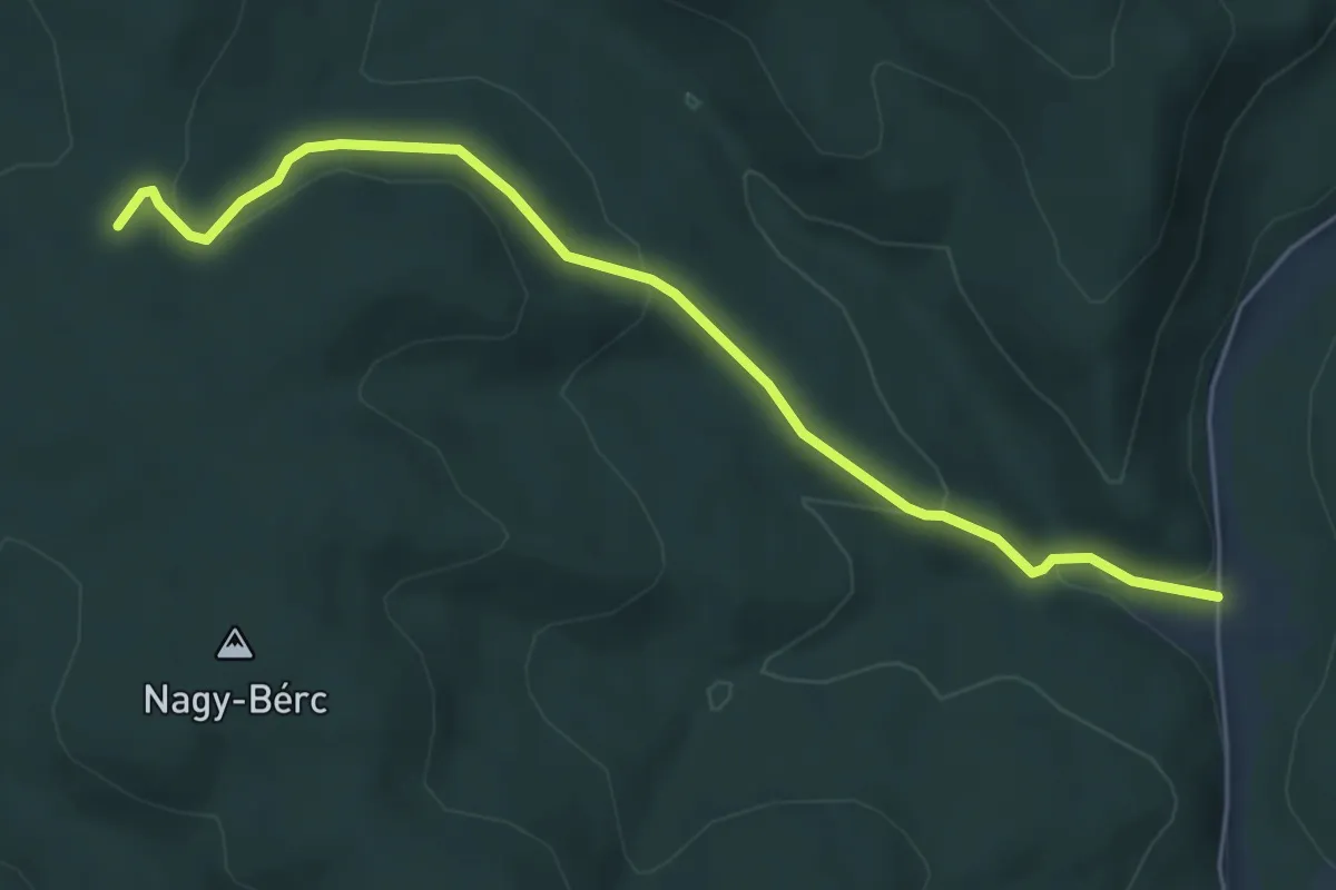
Easy · Trail
S4
5.5 km · ↑ 178 m · 1 h 42 min
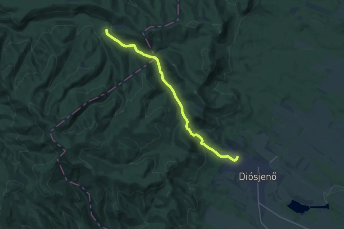
Medium · Trail
S4 (Diósjenő-Királyháza)
15.5 km · ↑ 409 m · 4 h 33 min
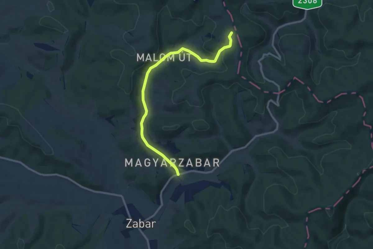
Easy · Trail
S4 Magyarzabar
7.3 km · ↑ 134 m · 2 h 2 min
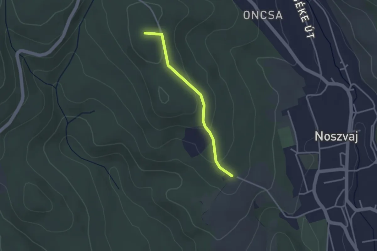
Easy · Summit
S4 (Noszvaj)
2.3 km · ↑ 85 m · 43 min
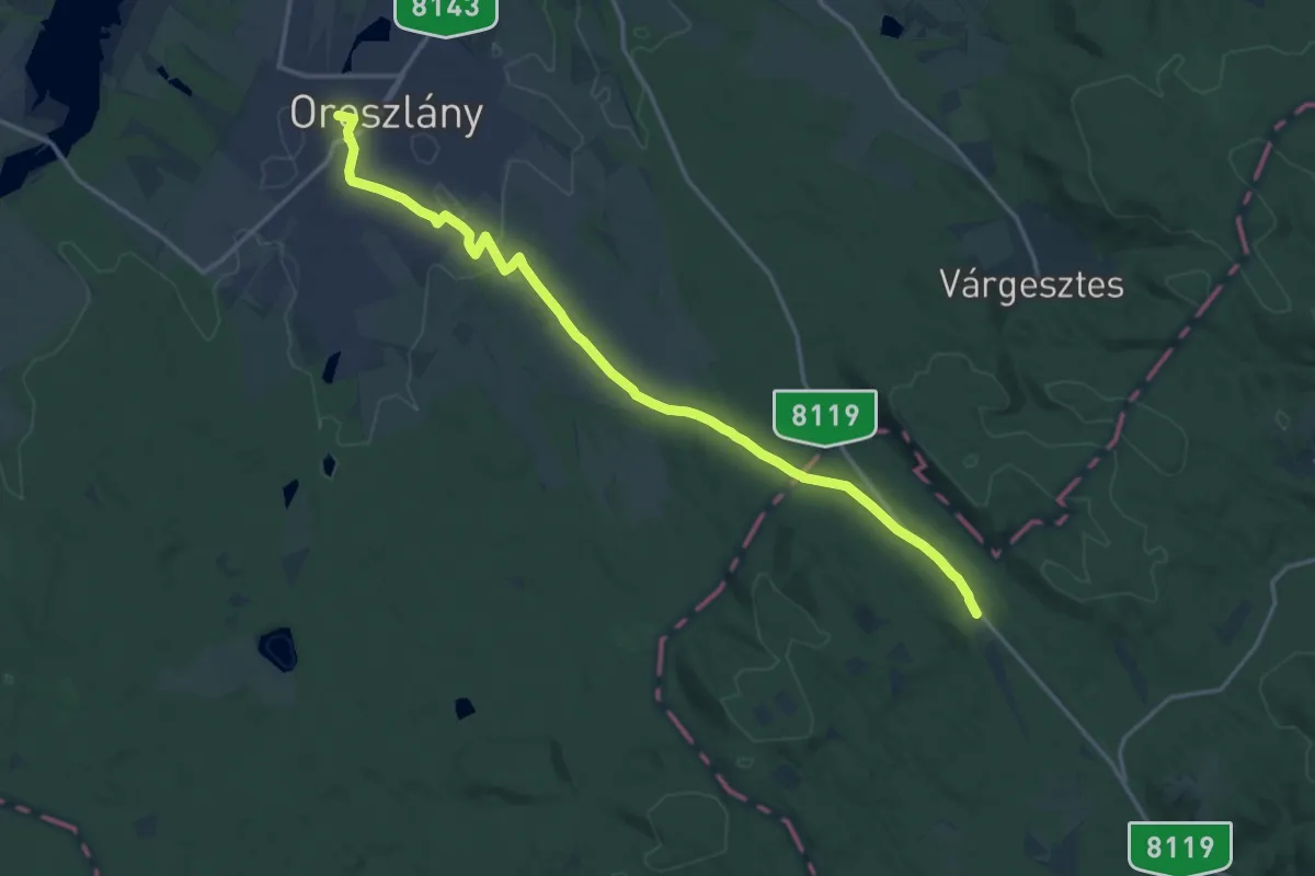
Medium · Trail
S4 (Oroszlány)
17.6 km · ↑ 137 m · 4 h 27 min
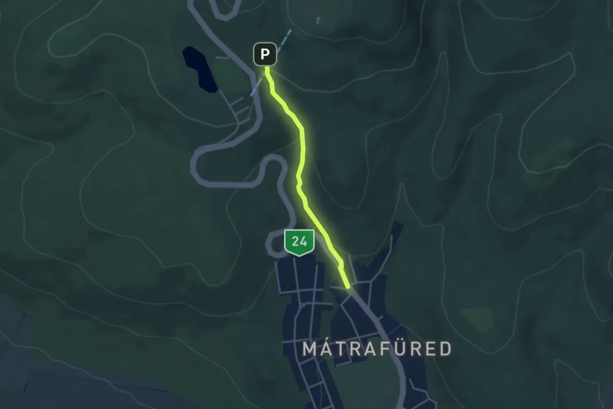
Easy · Trail
S4 (Sástó – Mátrafüred)
2.8 km · ↑ 139 m · 58 min
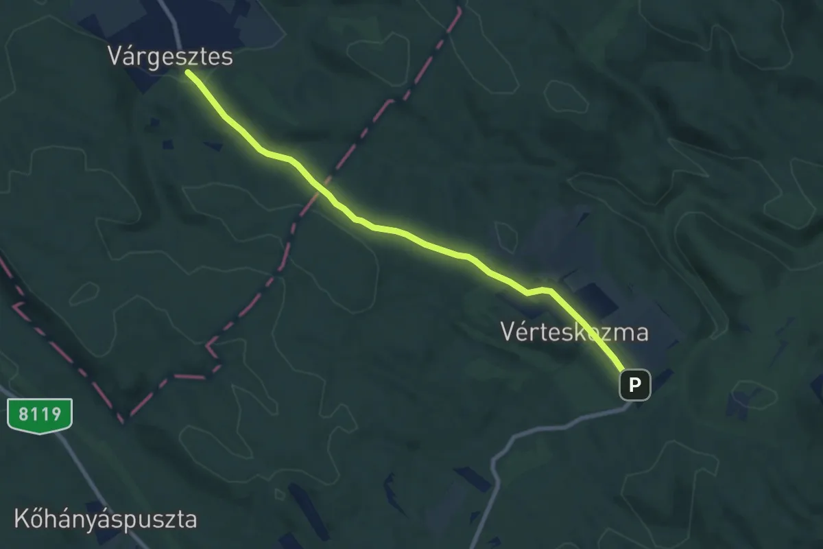
Medium · Trail
S4 (Várgesztes, Malom út – Vérteskozma, kulcsosház)
8.0 km · ↑ 164 m · 2 h 15 min
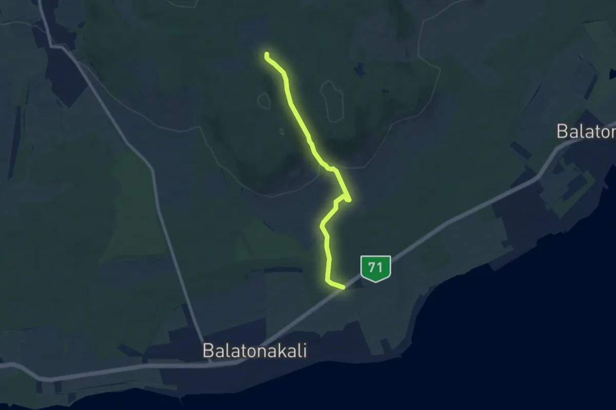
Easy · Trail
S+ (71-es út – Becserpuszta)
6.5 km · ↑ 121 m · 1 h 47 min
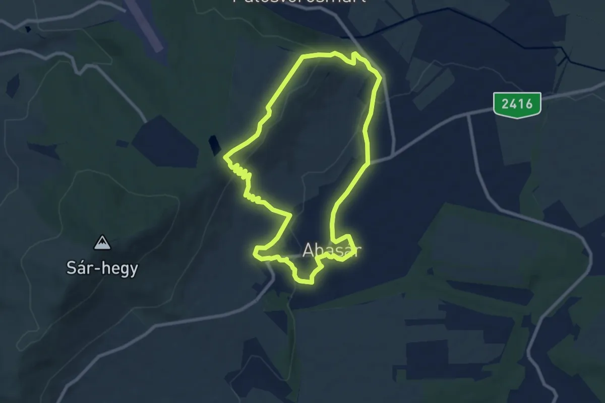
Easy · Trail
S↺, Abasári körút
7.1 km · ↑ 212 m · 2 h 13 min
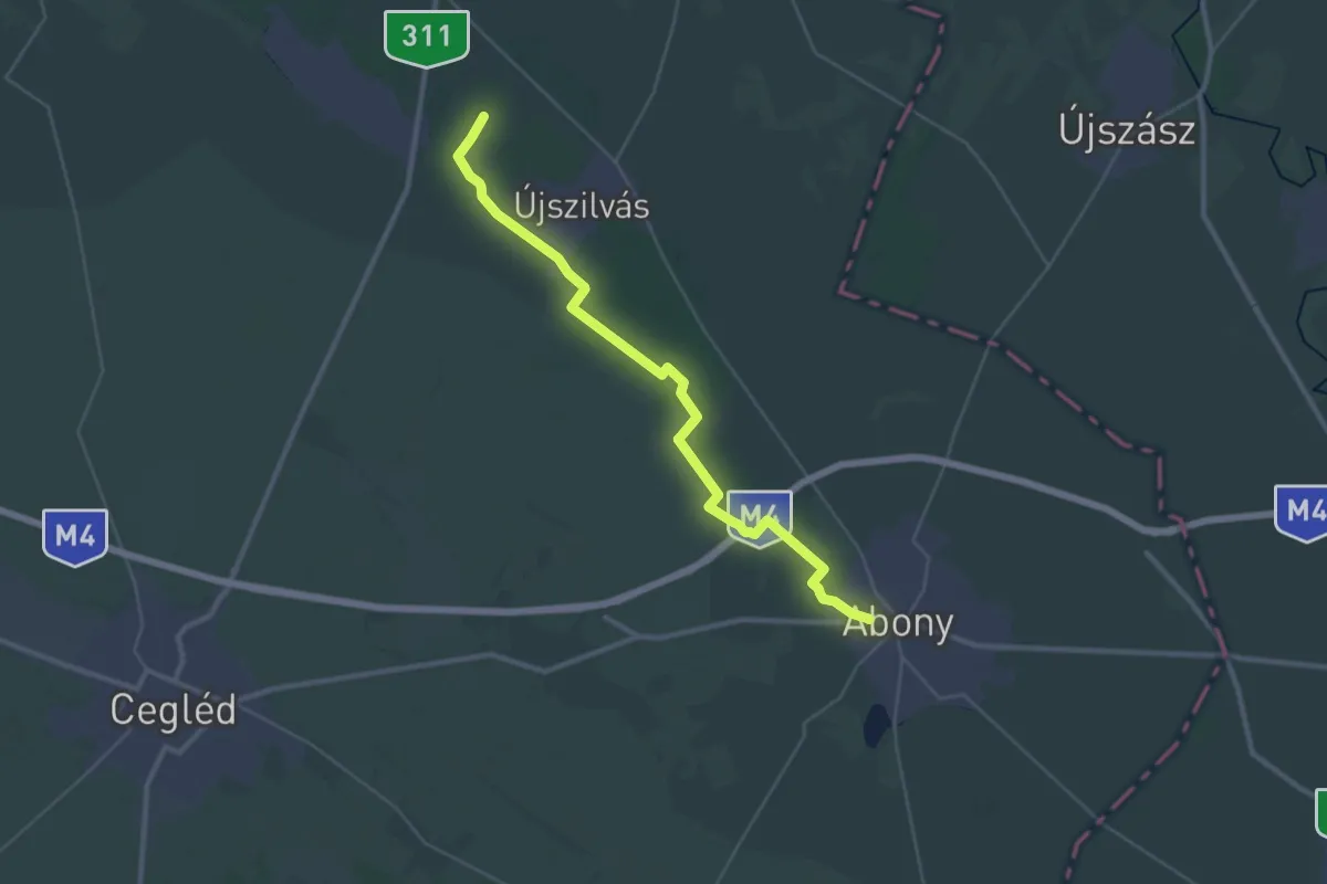
Medium · Trail
S■ (Abony - Kláratelep)
17.2 km · ↑ 16 m · 4 h 19 min
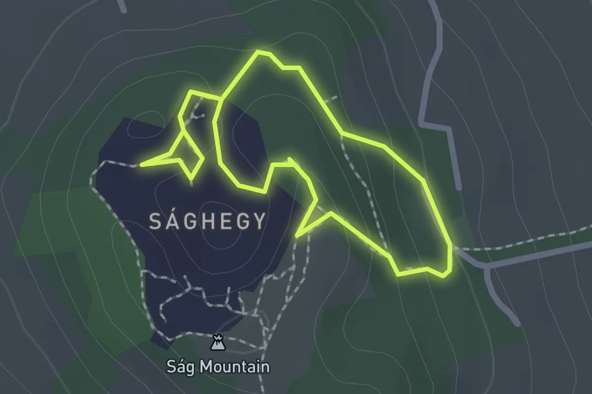
Easy · Trail
Sághegy tanösvény
1.5 km · ↑ 38 m · 27 min
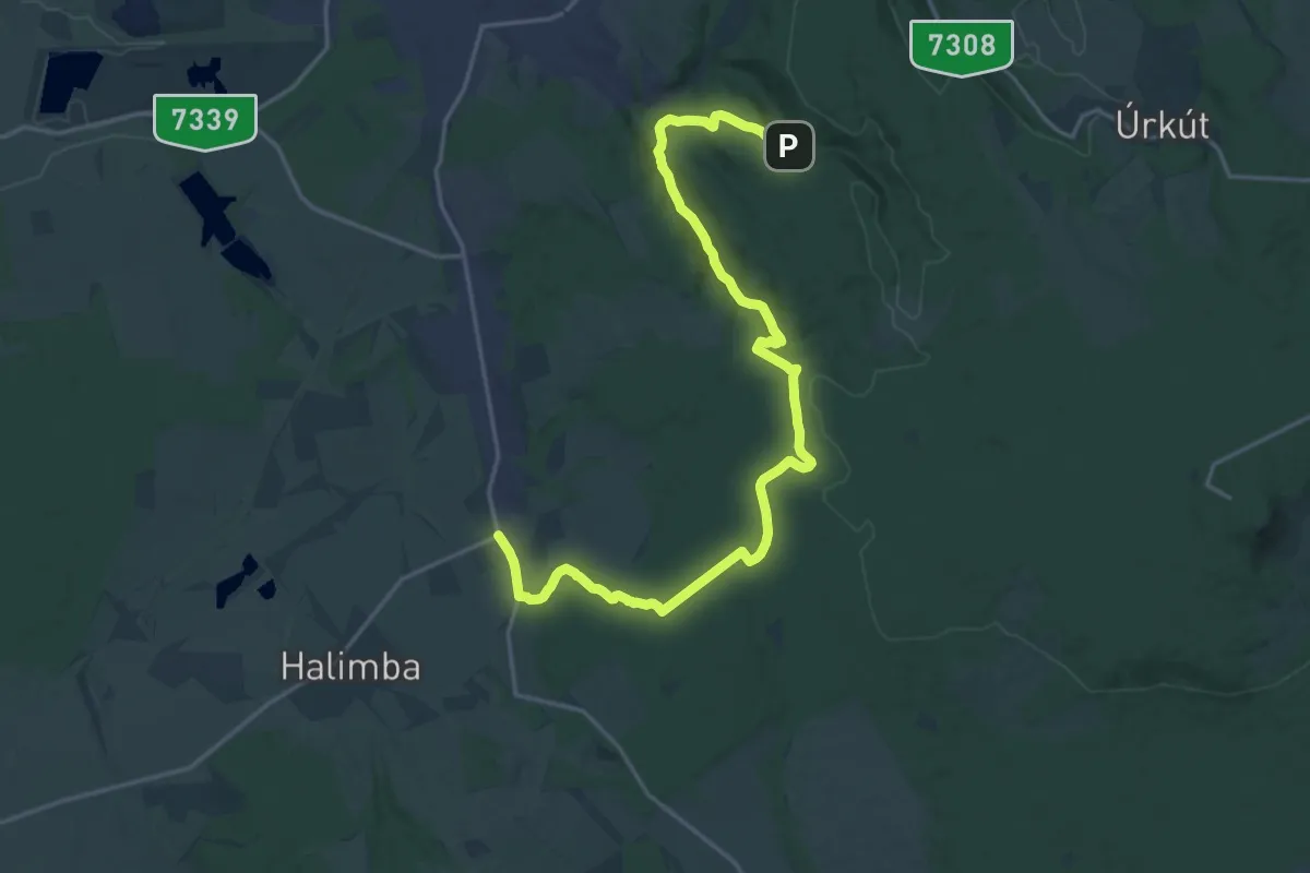
Demanding · Trail
S (Ajka, Bányász Múzeum – Padragkút)
22.7 km · ↑ 471 m · 6 h 23 min
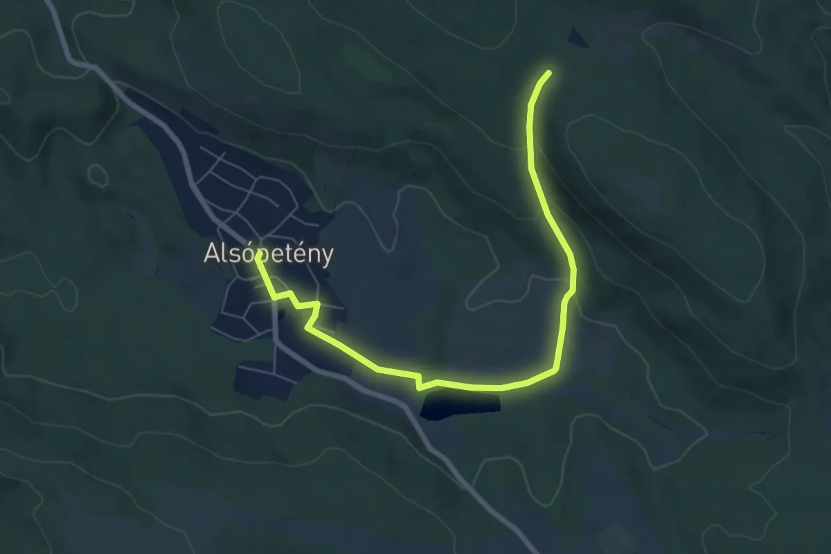
Easy · Trail
S■ (Alsópetény – Kő-hegy)
7.1 km · ↑ 163 m · 2 h 1 min
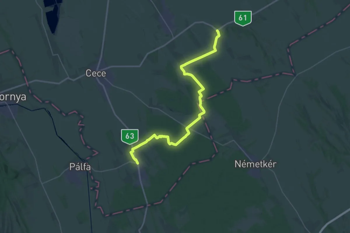
Demanding · Trail
S (Alsószentiván – Vajta)
31.7 km · ↑ 145 m · 7 h 48 min
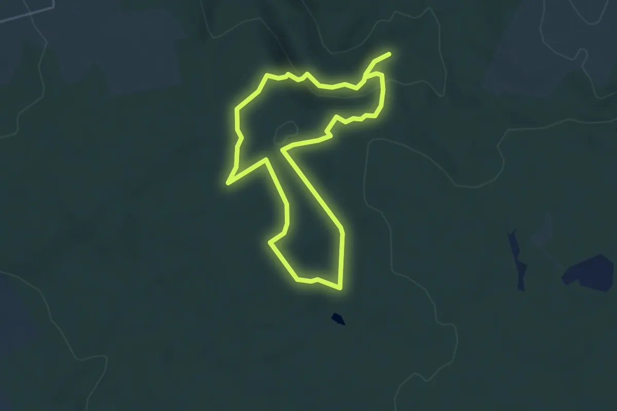
Easy · Trail
Sárcsi-kúti tanösvény (Köleskepe sétaút)
7.9 km · ↑ 159 m · 2 h 13 min
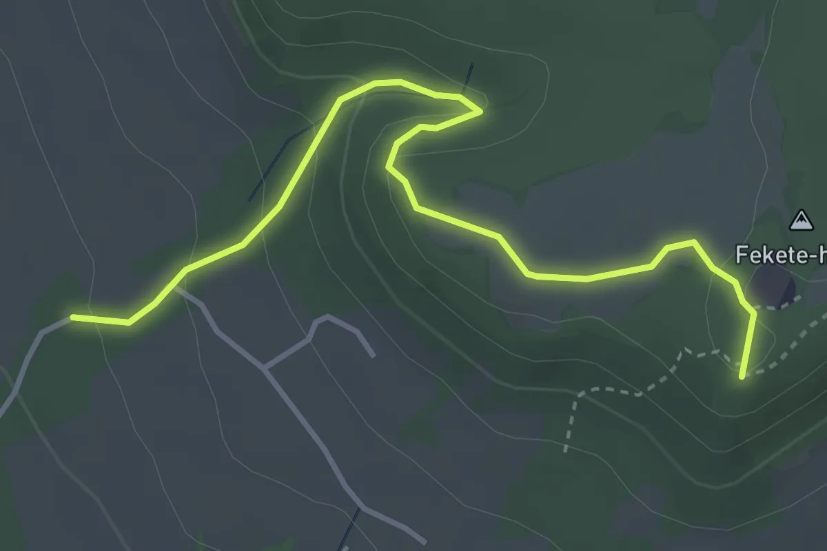
Medium · Trail
Sárga háromszög (Öreg-hegyi-erdő – Bonta-tó – Fekete-hegy, Eötvös Károly-kilátó)
3.9 km · ↑ 170 m · 1 h 18 min
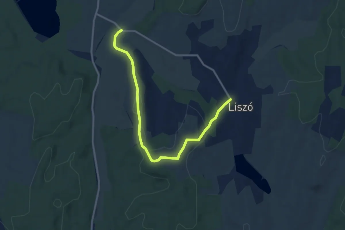
Medium · Trail
Sárga kereszt (Liszó – Mórichelyi út – Szaplányosi-határárok hídja
8.1 km · ↑ 137 m · 2 h 13 min
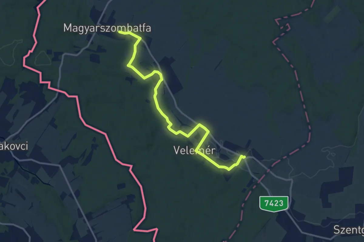
Medium · Trail
Sárgaliliom tanösvény
11.6 km · ↑ 137 m · 3 h 2 min
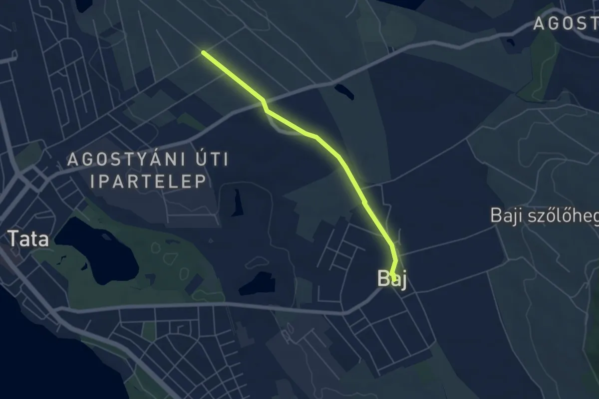
Easy · Trail
Sárga négyzet (Baj – Szarvas-domb oldala – Tata, Újhegyi út)
4.7 km · ↑ 0 m · 1 h 7 min
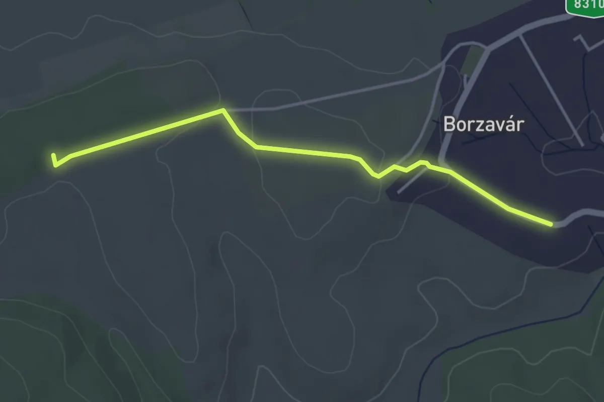
Easy · Trail
Sárga négyzet (Településhatár – Borzavár)
3.7 km · ↑ 57 m · 1 h
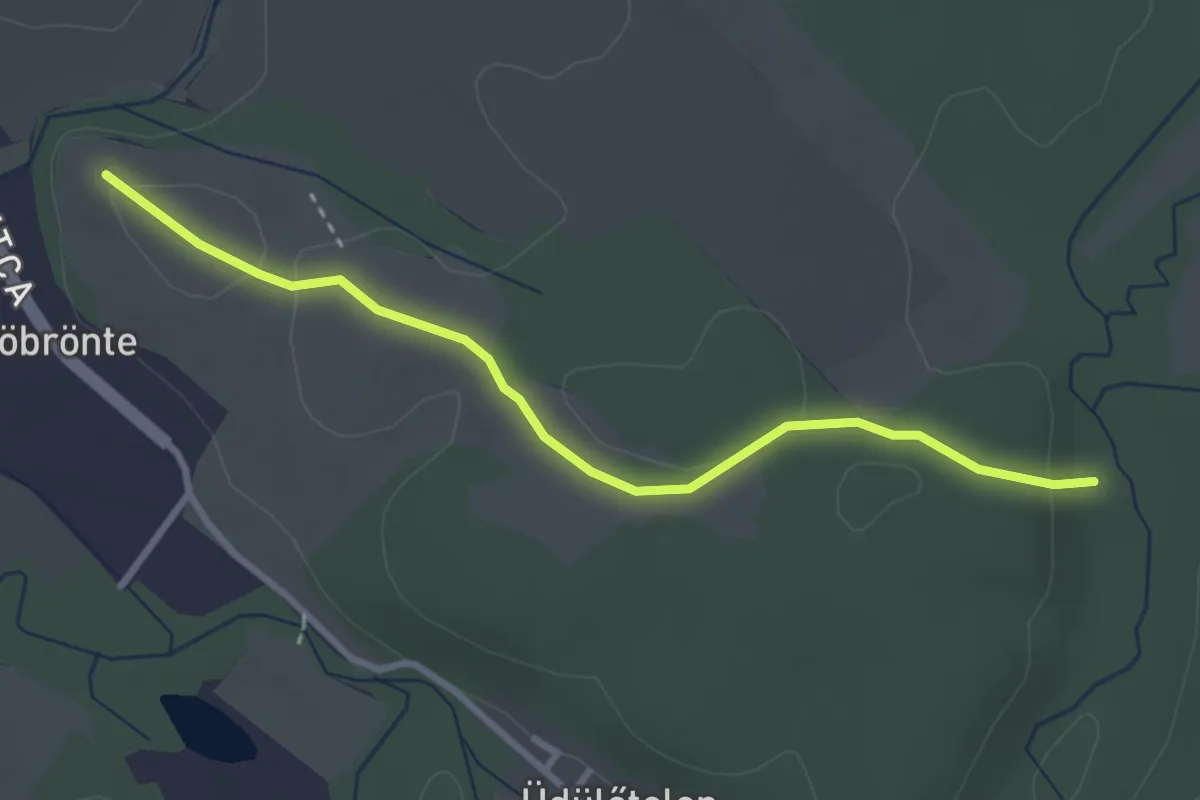
Easy · Trail
Sárga rom (Bitva-völgy - Szarvaskő vára)
3.1 km · ↑ 59 m · 52 min
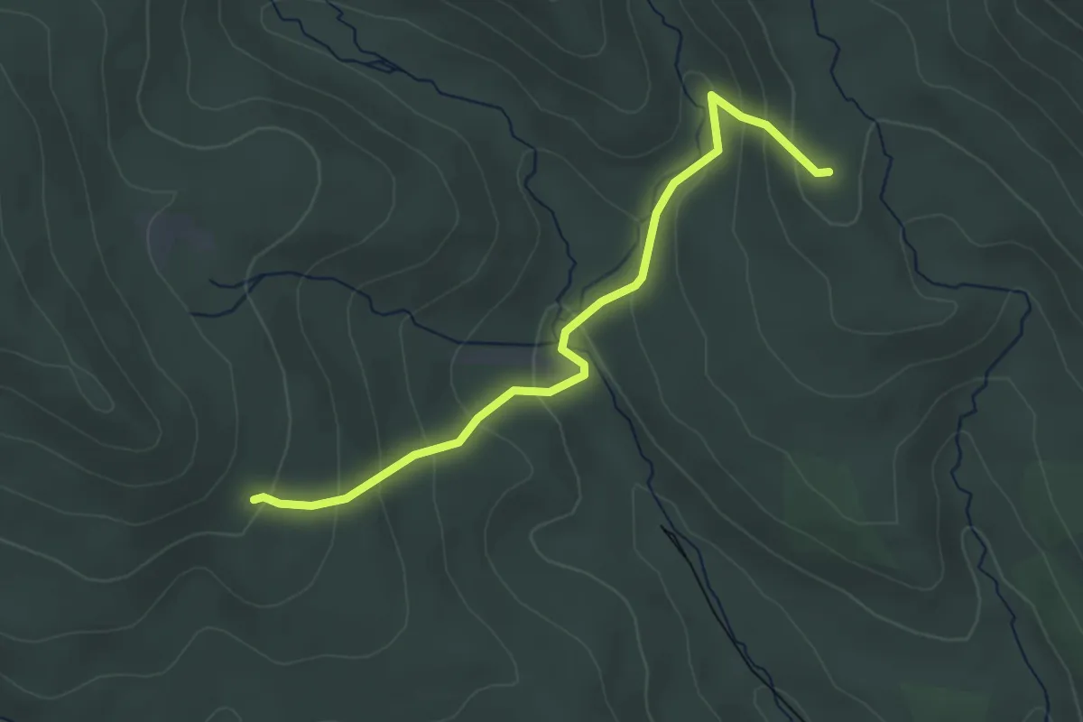
Easy · Trail
S+ (Árnyék-bérc – Üvöltő-bérc)
3.5 km · ↑ 219 m · 1 h 19 min
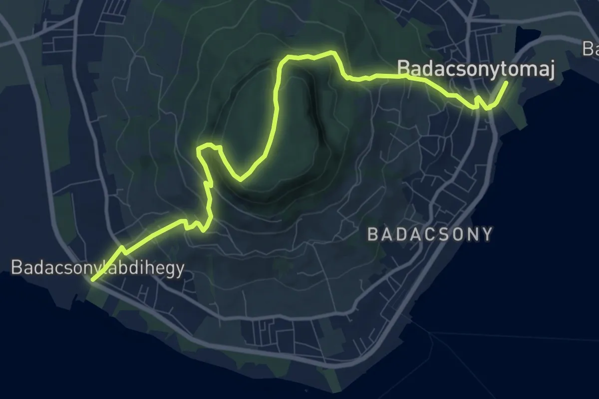
Medium · Trail
S (Badacsony-Lábdihegy v.mh. – Badacsony, Kuruc-körút – Klastrom-kút - Badacsonytomaj, vá.)
11.6 km · ↑ 640 m · 4 h 8 min
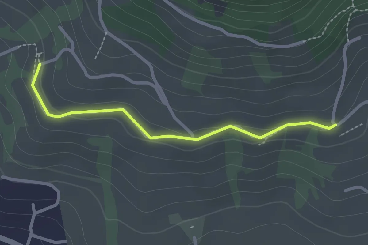
Easy · Trail
S+ (Badacsony, Ranolder-ház (Borászati Múzeum) – Bormúzeum borozó)
2.1 km · ↑ 47 m · 36 min
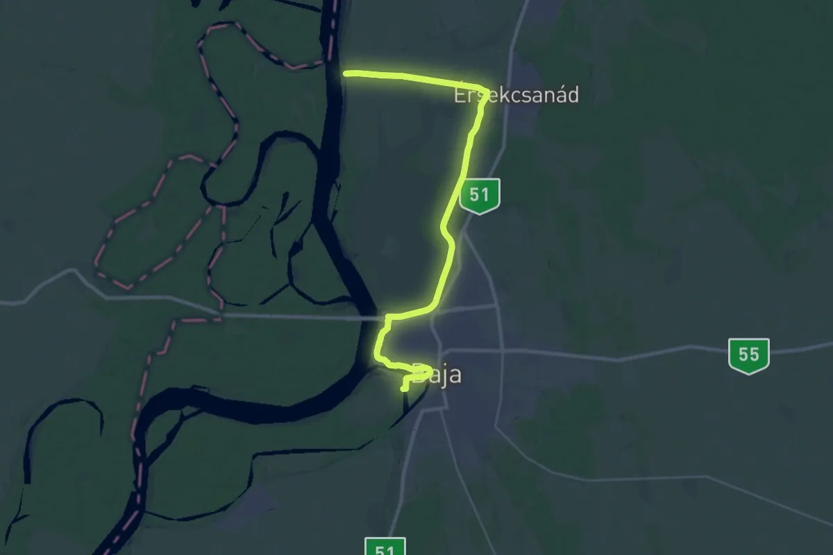
Demanding · Trail
S (Baja, Petőfi-sziget – Baja, Duna híd – Érsekcsanád, Duna-part)
32.8 km · ↑ 39 m · 7 h 49 min
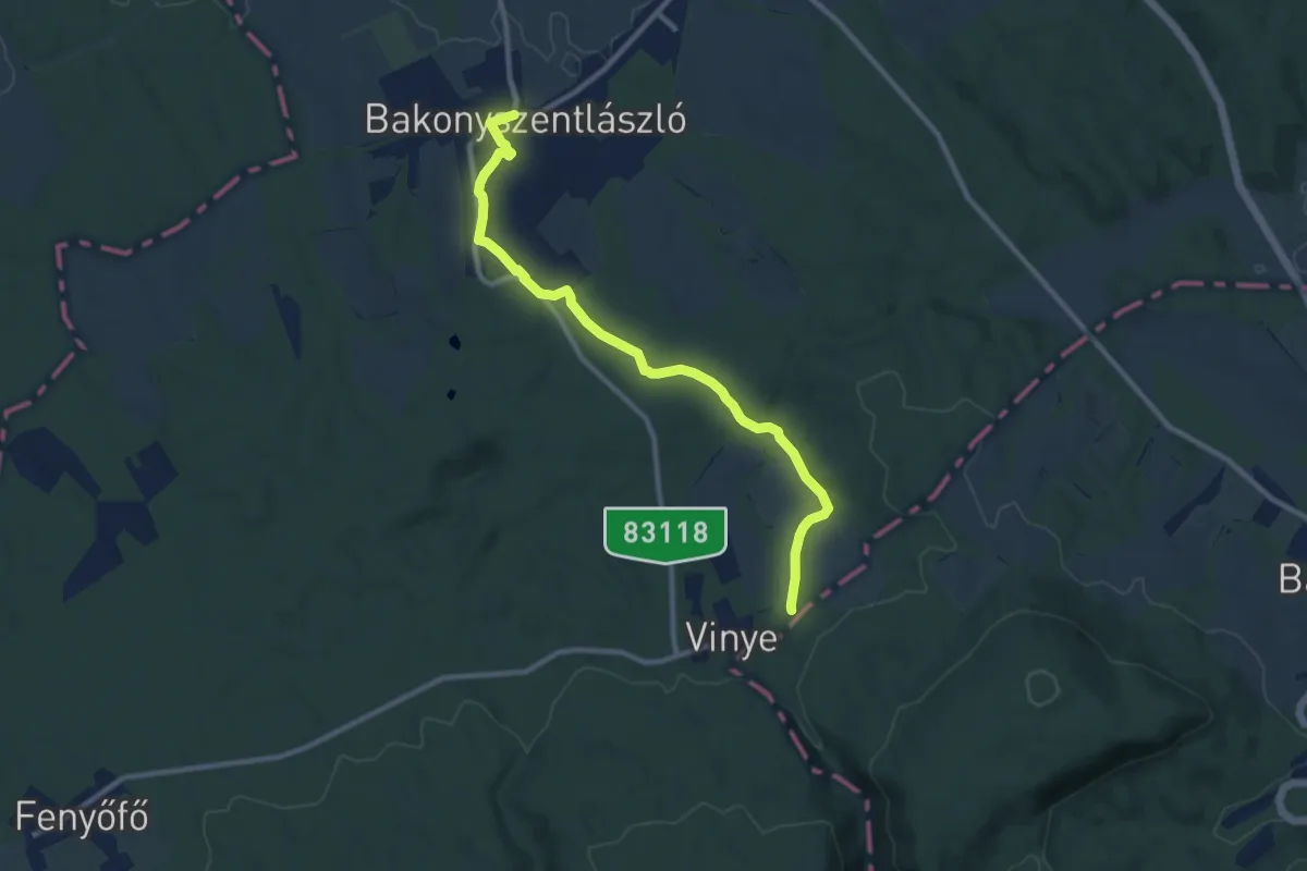
Medium · Trail
S+ (Bakonyszentlászló)
10.0 km · ↑ 141 m · 2 h 40 min
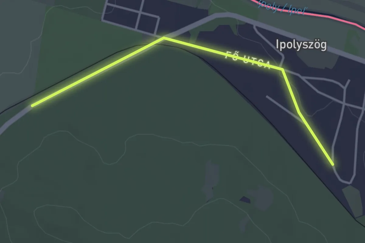
Easy · Trail
S (Balassagyarmat – Keszeg)
3.4 km · ↑ 4 m · 49 min
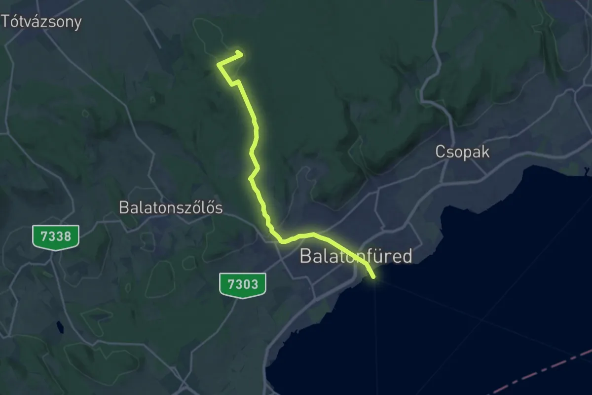
Medium · Summit
S (Balatonfüred, há. – Recsek-hegy)
17.0 km · ↑ 331 m · 4 h 44 min
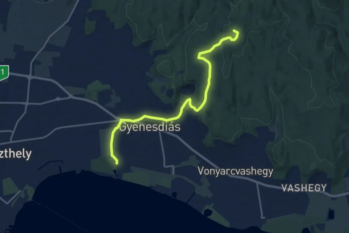
Medium · Summit
S (Balatongyörök – Büdöskút – Gyenesdiás)
11.1 km · ↑ 263 m · 3 h 12 min
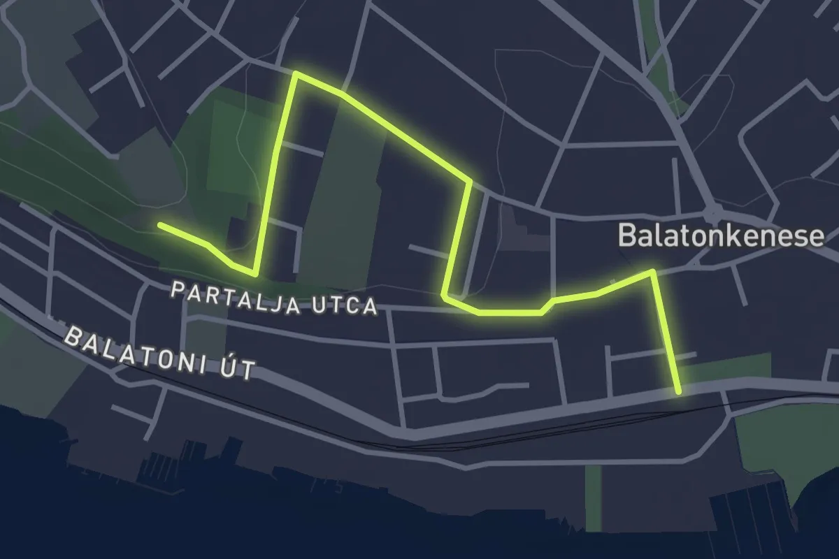
Easy · Trail
S (Balatonkenese, vá. - Soós Lajos-emlékmű)
3.6 km · ↑ 52 m · 58 min
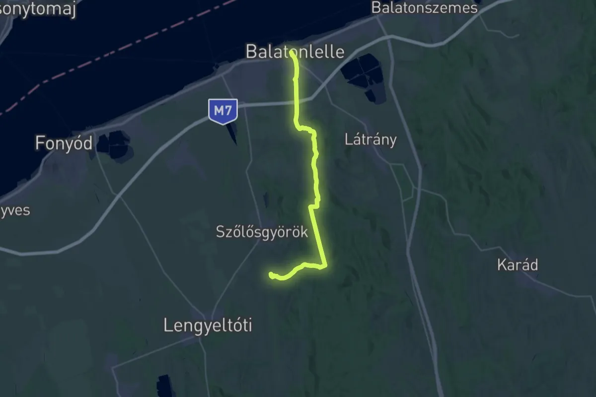
Medium · Trail
S (Balatonlelle – Gyugy)
14.8 km · ↑ 250 m · 4 h 14 min
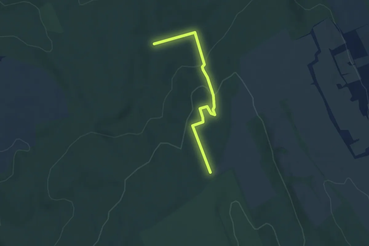
Easy · Trail
S▲ (Balatonszemes kilátó)
4.1 km · ↑ 147 m · 1 h 17 min
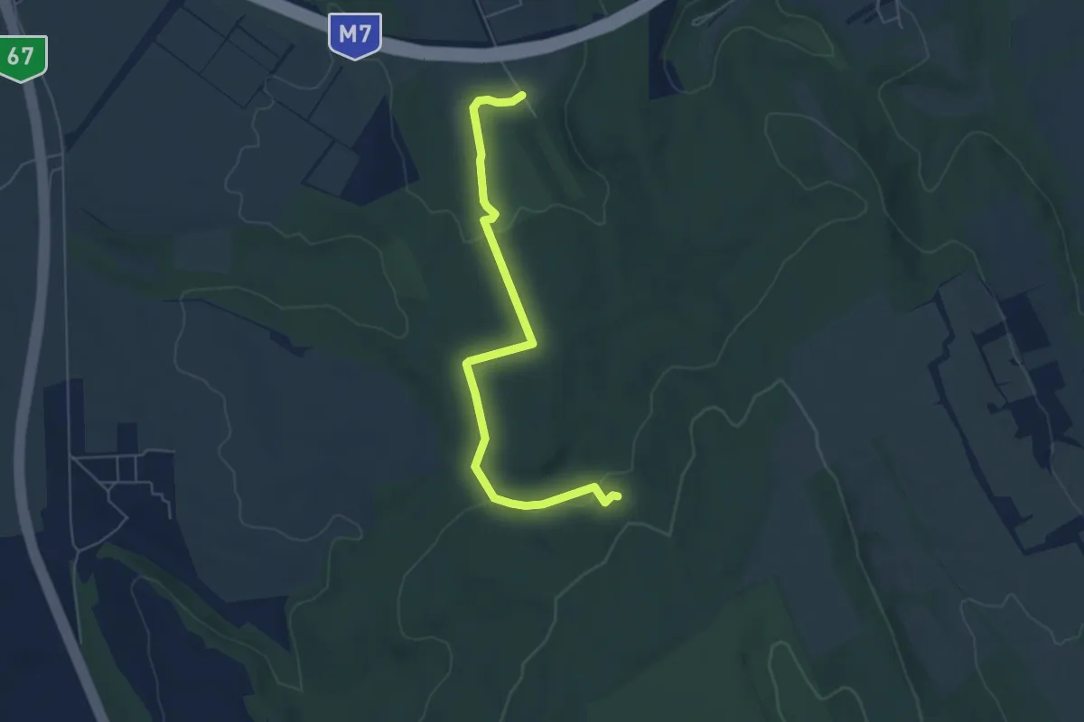
Easy · Trail
S+ (Balatonszemes - Pálos emlékhely)
5.9 km · ↑ 113 m · 1 h 39 min
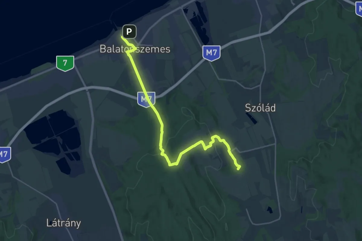
Demanding · Trail
S (Balatonszemes, vá. – Teleki)
20.6 km · ↑ 347 m · 5 h 36 min
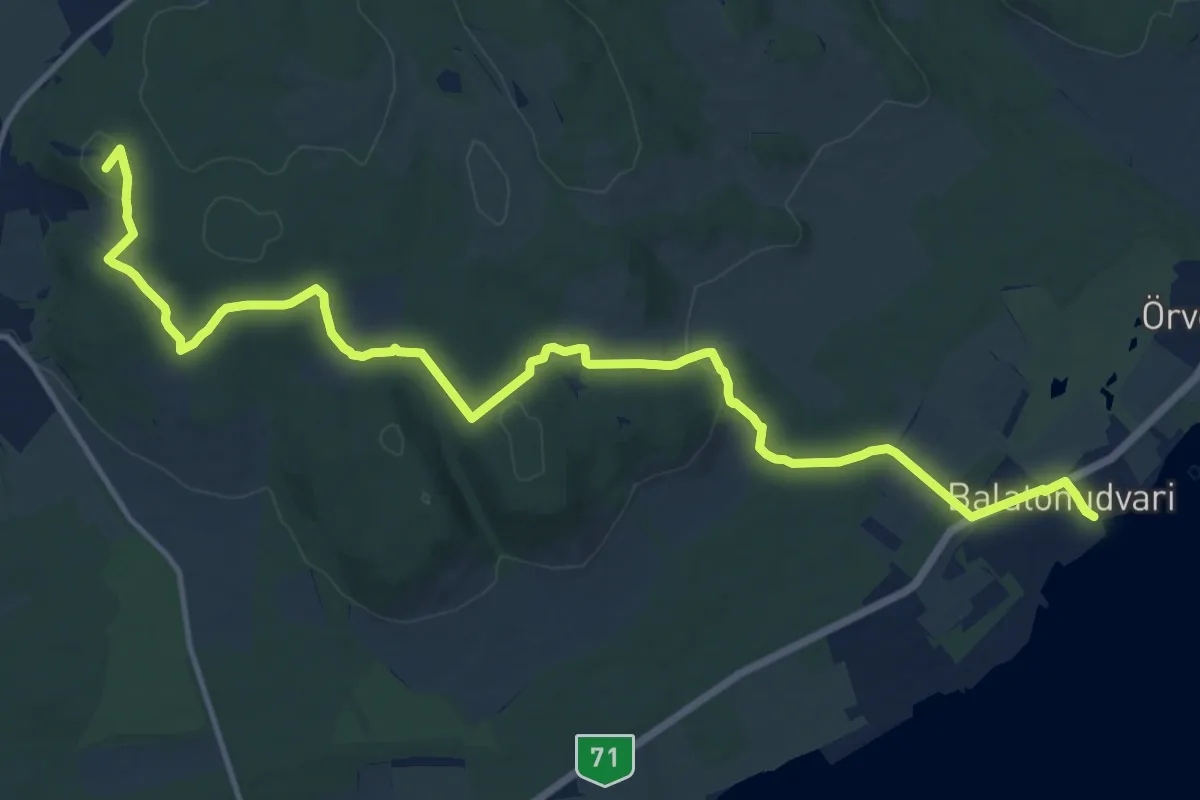
Medium · Summit
S (Balatonudvari, vmh. – Felsődörgicse, aut.m.)
16.9 km · ↑ 329 m · 4 h 42 min
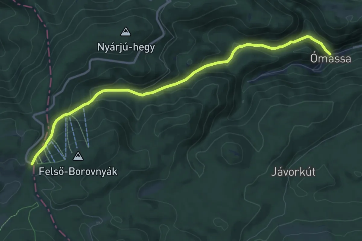
Medium · Trail
S+ (Bánkút – Ómassa)
9.2 km · ↑ 452 m · 3 h 8 min
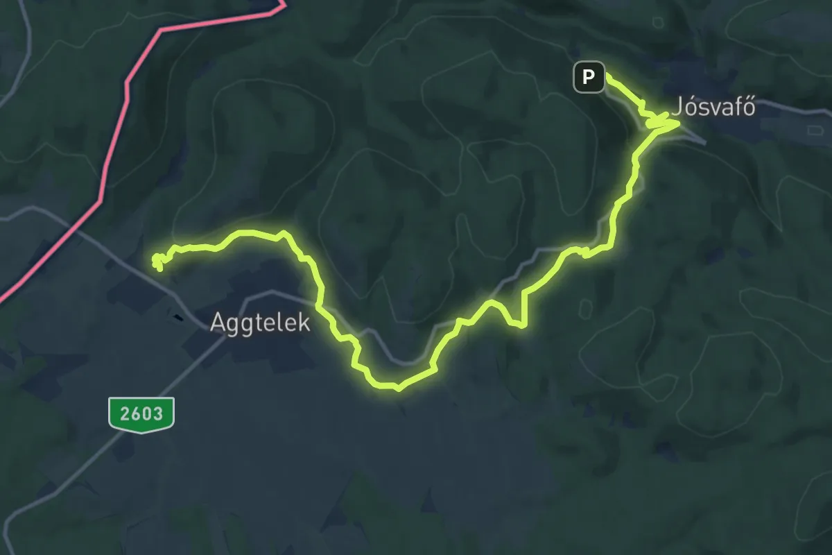
Medium · Trail
S, Baradla tanösvény
15.9 km · ↑ 502 m · 4 h 50 min
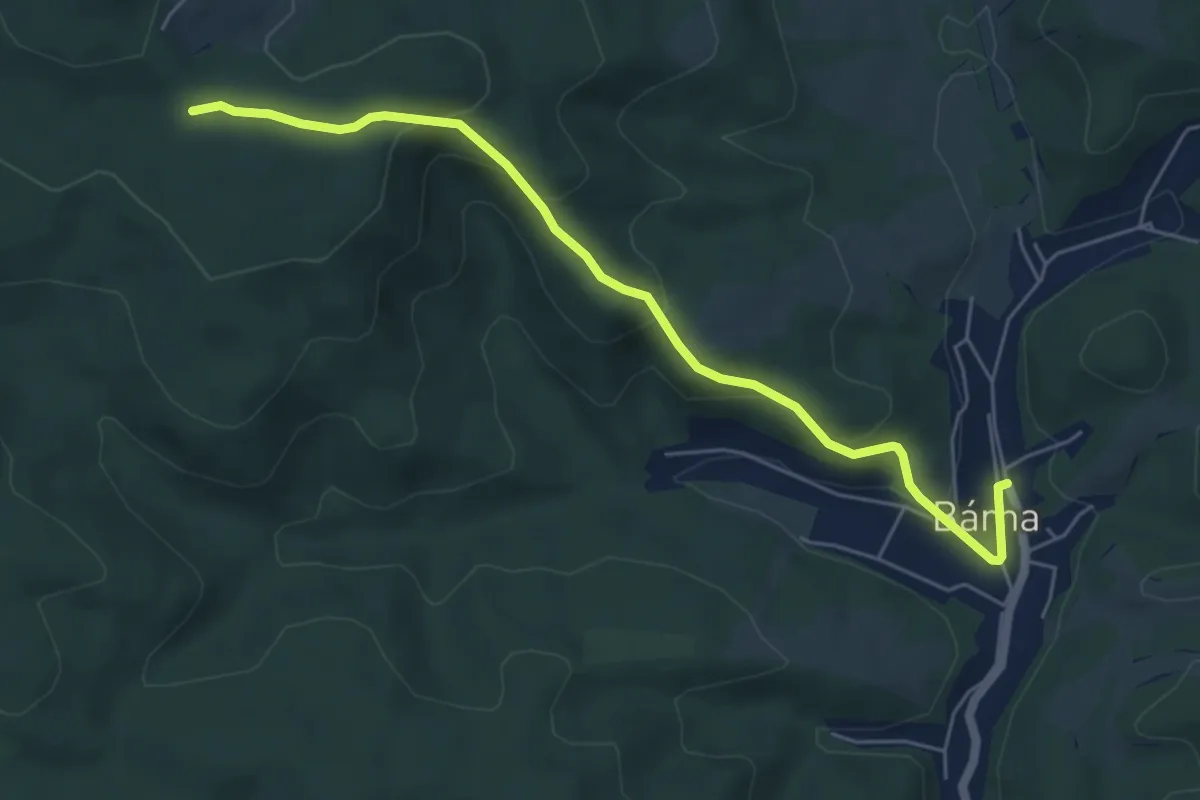
Easy · Trail
S■ (Bárna)
5.7 km · ↑ 234 m · 1 h 52 min
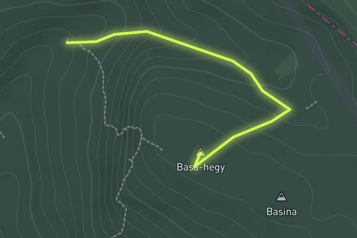
Easy · Summit
S▲ (Basina-völgy, Eszperantó forrás – Basina)
2.2 km · ↑ 106 m · 45 min
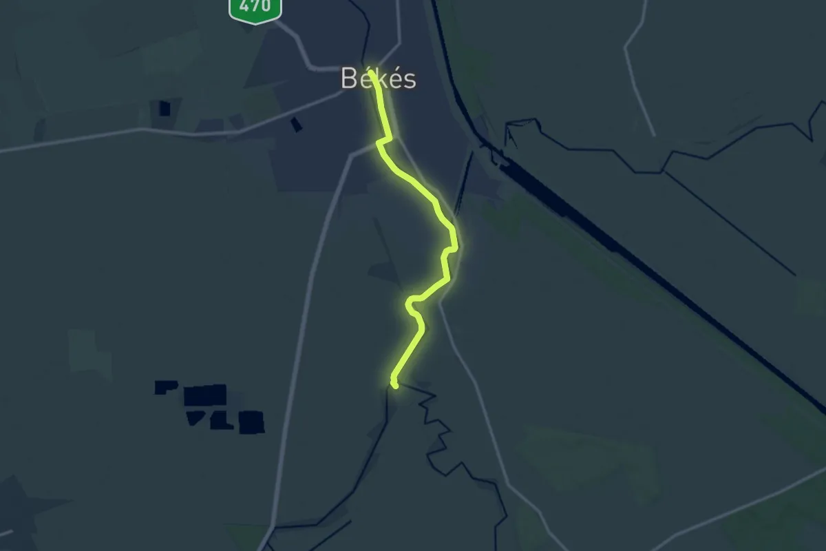
Medium · Trail
S (Békés – Malomasszony-kertek – Sikkony)
11.1 km · ↑ 4 m · 2 h 38 min
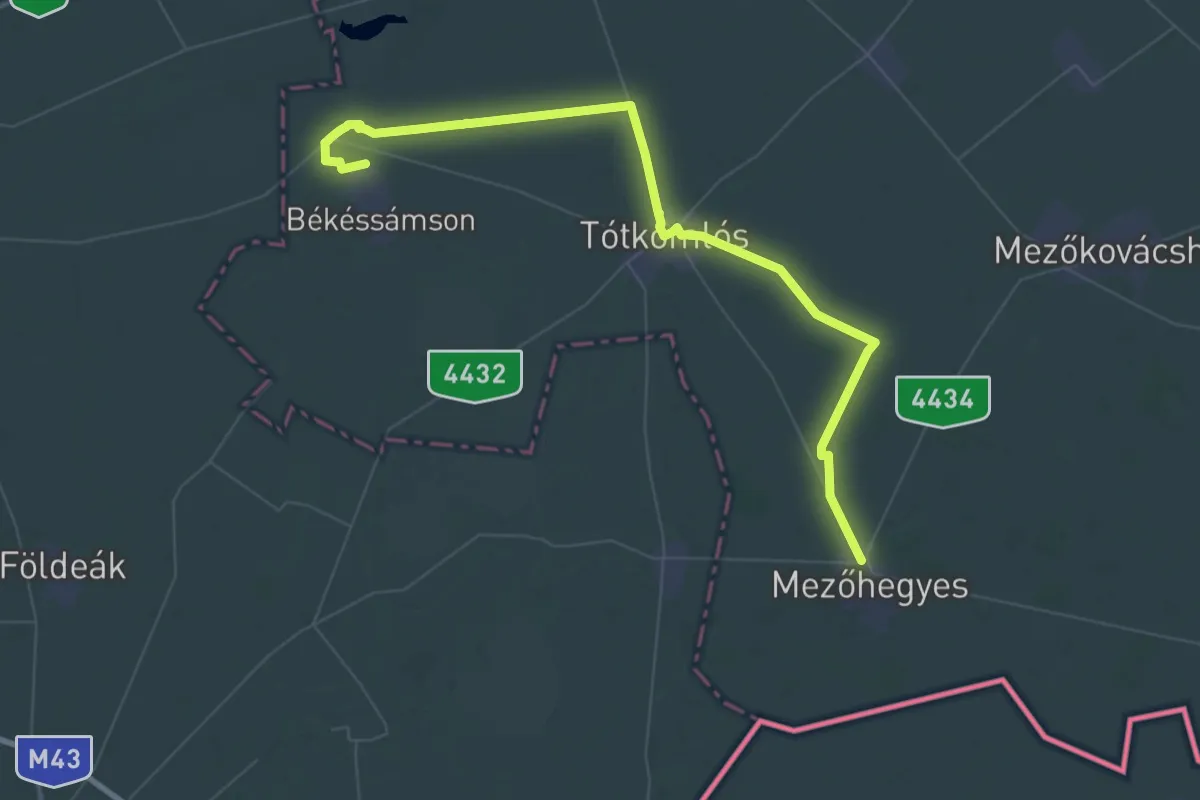
Demanding · Trail
S (Békéssámson – Tótkomlós – Mezőhegyes)
31.7 km · ↑ 21 m · 7 h 57 min
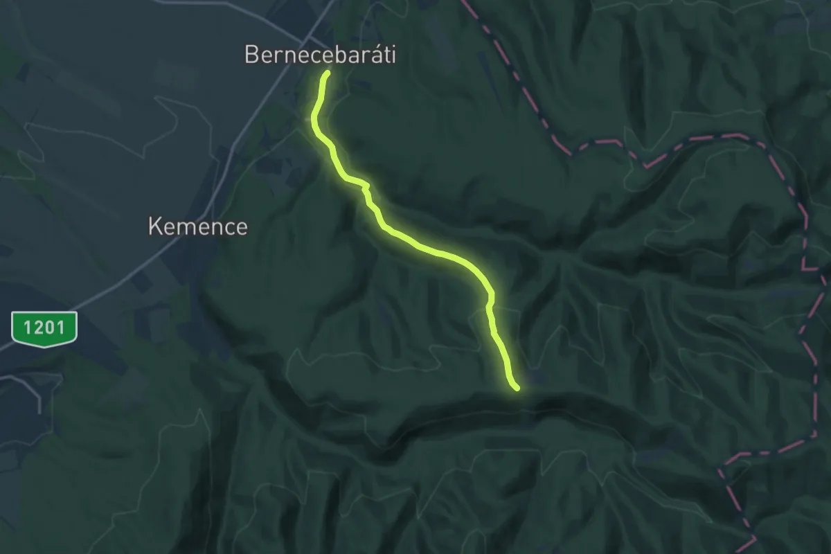
Medium · Trail
S+ (Bernecebaráti)
11.4 km · ↑ 323 m · 3 h 23 min
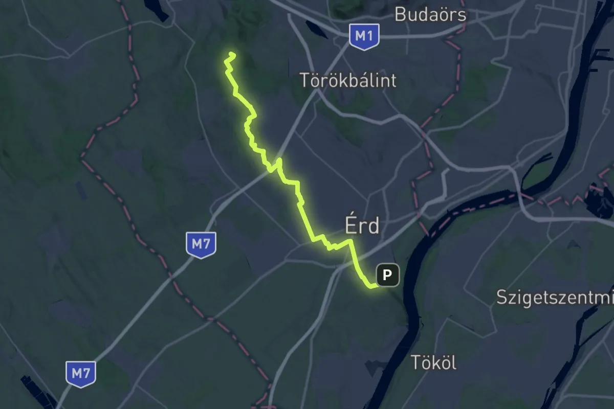
Demanding · Summit
S (Biatorbágy – Érd)
35.1 km · ↑ 326 m · 8 h 59 min
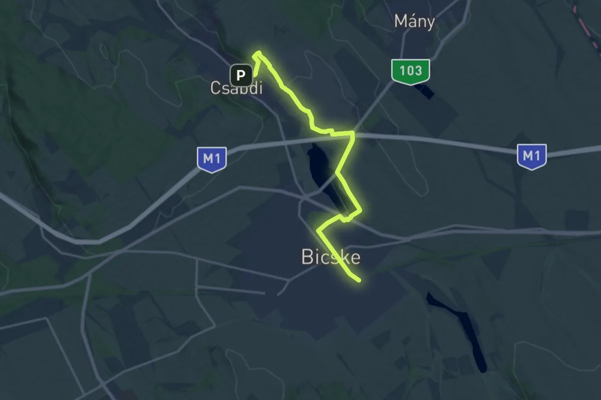
Medium · Trail
S (Bicske alsó vm. – Bagó-hegy – Csabdi)
14.2 km · ↑ 256 m · 3 h 55 min
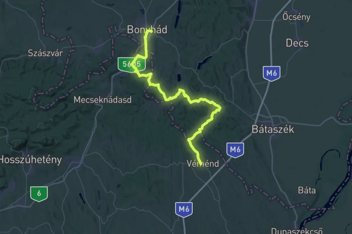
Demanding · Trail
S (Bonyhád – Kishidas, bej. út – Berekaljapuszta – Széplaki magaslat – Zsibriki-halastó – Bátaapát – Mórágy – Dunántúli-erdő – Hármaskúti-rész – Véménd)
32.5 km · ↑ 689 m · 9 h 34 min
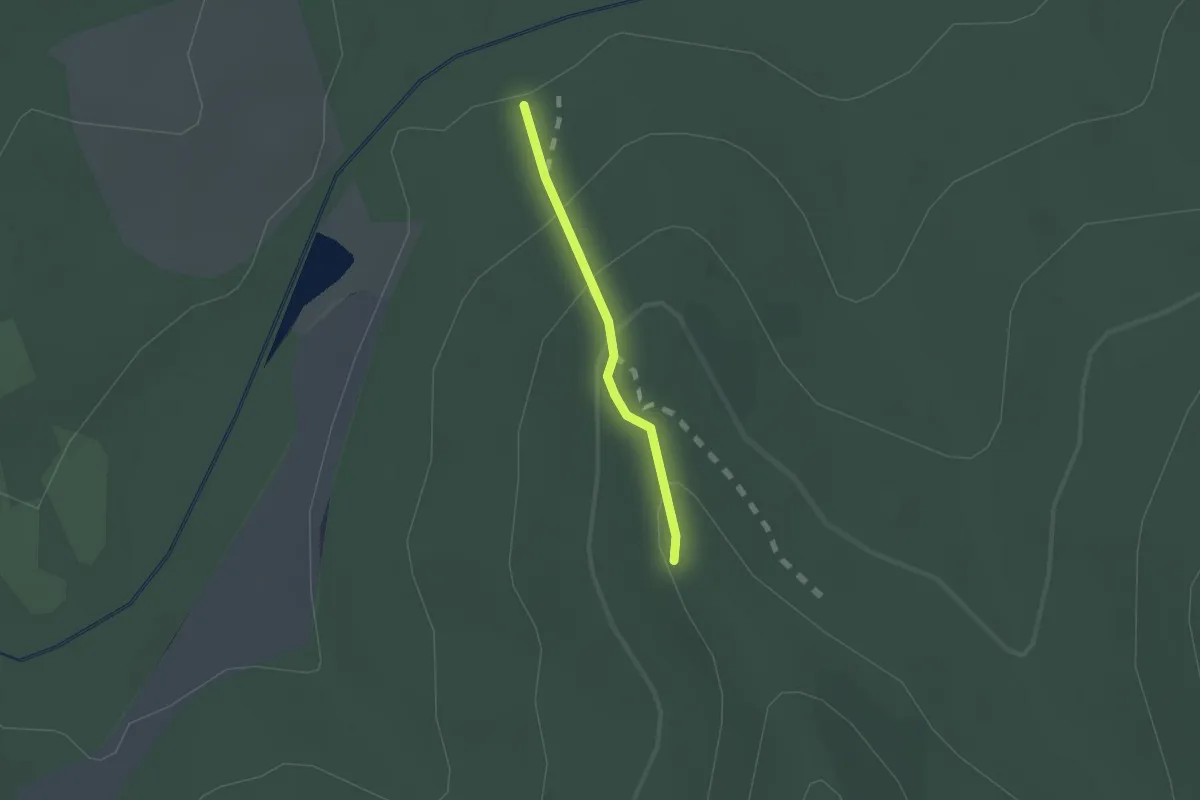
Easy · Summit
S▙ (Börevár)
1.1 km · ↑ 68 m · 25 min
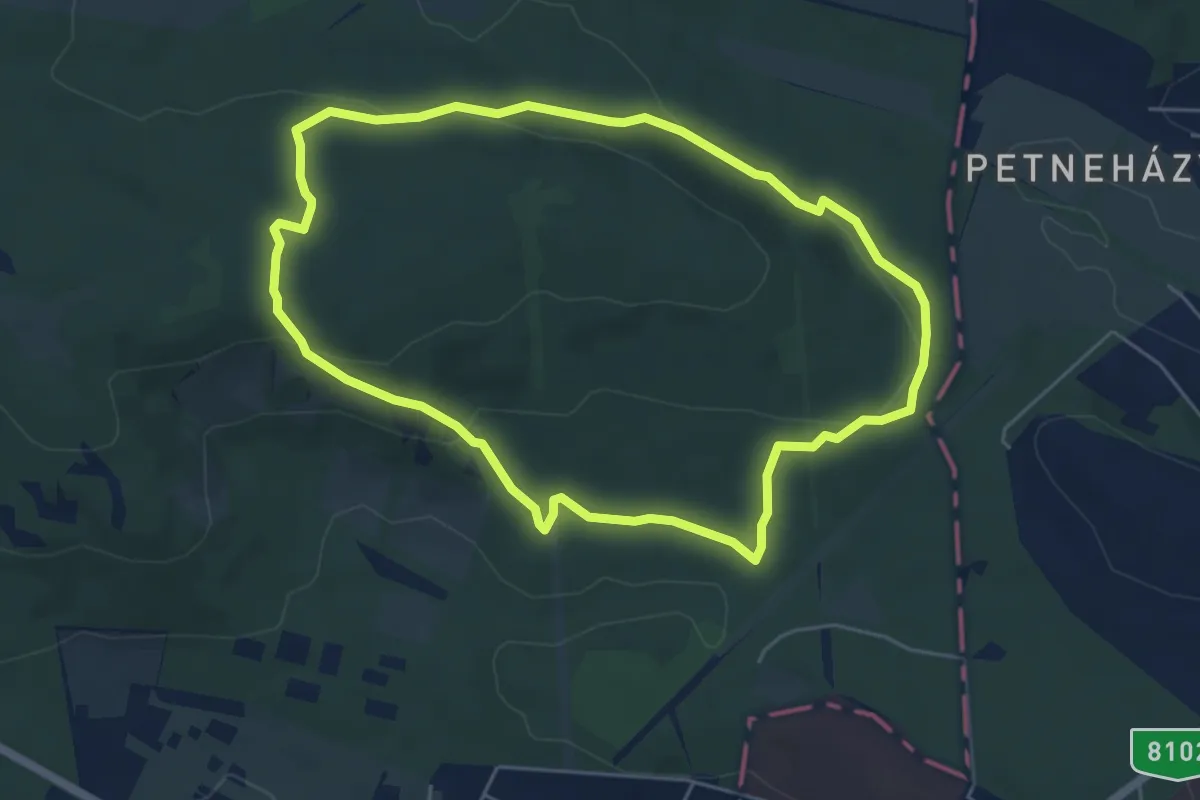
Easy · Trail
S↺ (Budakeszi Vadaspark, kerítés – Budakeszi Vadaspark)
5.1 km · ↑ 136 m · 1 h 35 min