Trails in Hungary
2,298 hiking trails, each with its route, climb, walking time and grade.
All trails, page 47 of 48
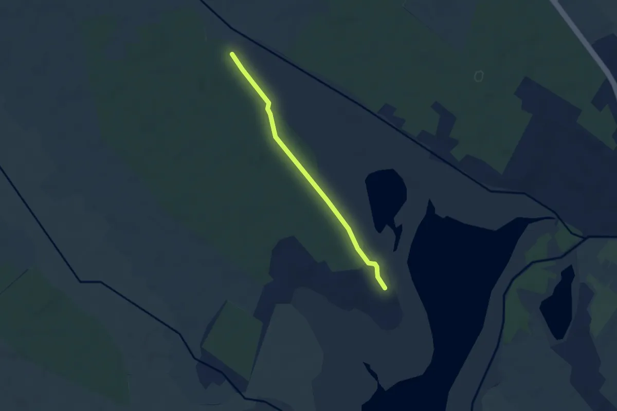
Easy · Trail
ZT
3.8 km · ↑ 0 m · 54 min
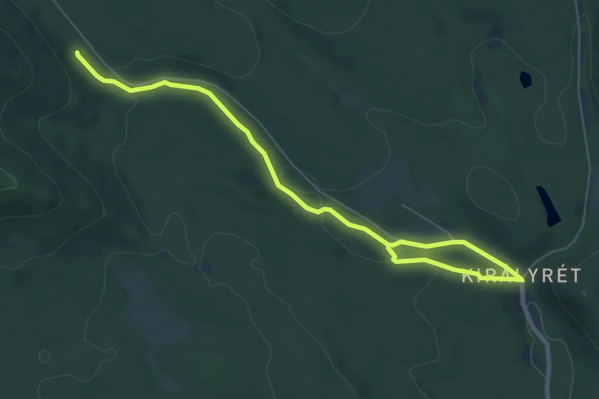
Easy · Trail
ZT
6.7 km · ↑ 166 m · 1 h 57 min
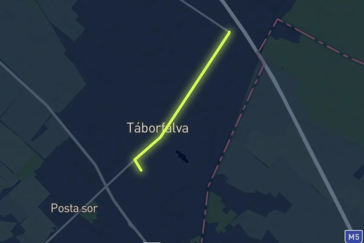
Easy · Trail
Z+ (Táborfalva)
5.2 km · ↑ 4 m · 1 h 14 min
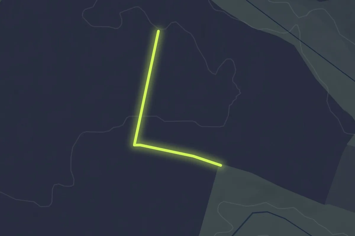
Easy · Trail
Z+ (Tápióbicske)
2.3 km · ↑ 9 m · 34 min
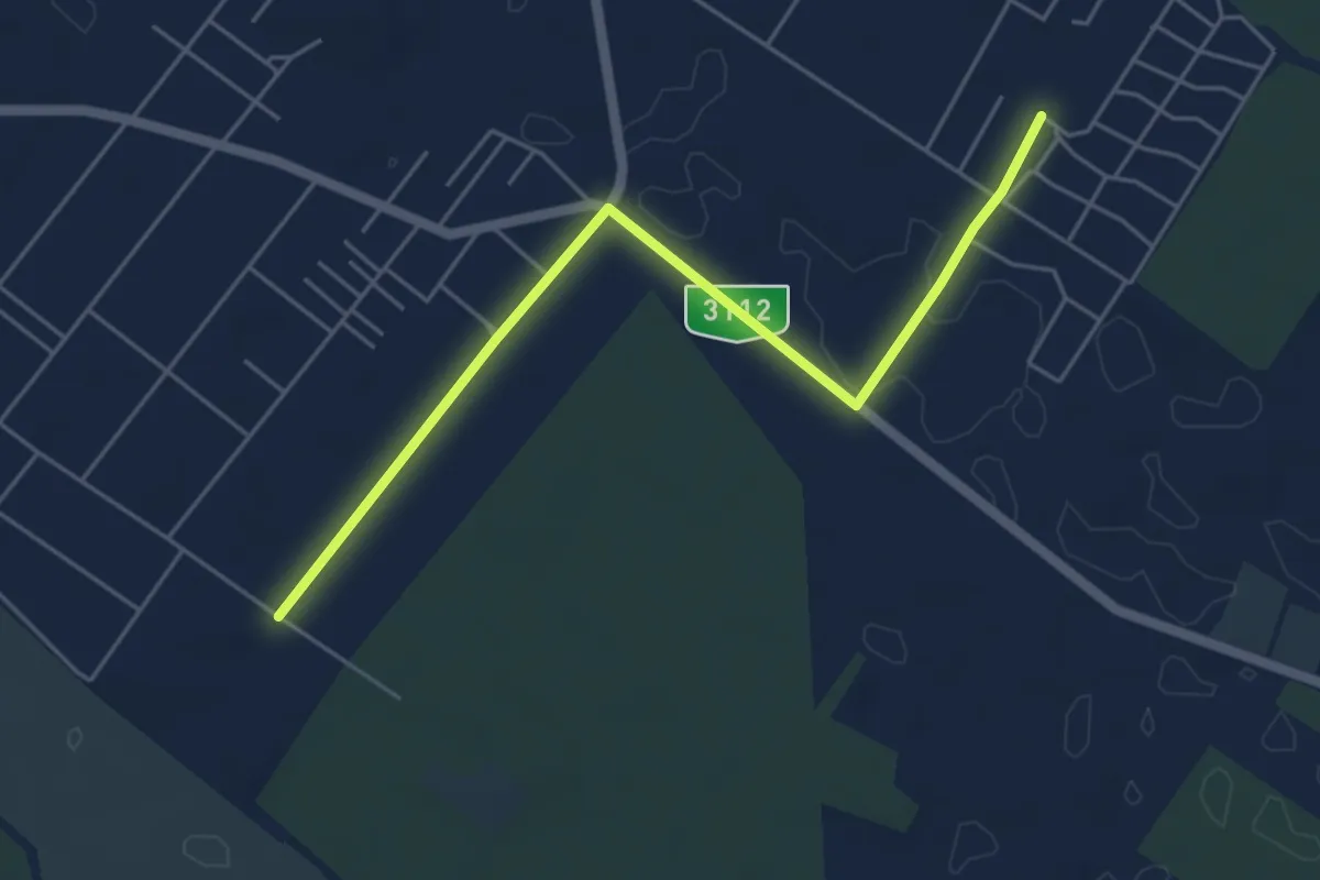
Easy · Trail
Z+ (Tápiószentmárton)
5.3 km · ↑ 8 m · 1 h 16 min
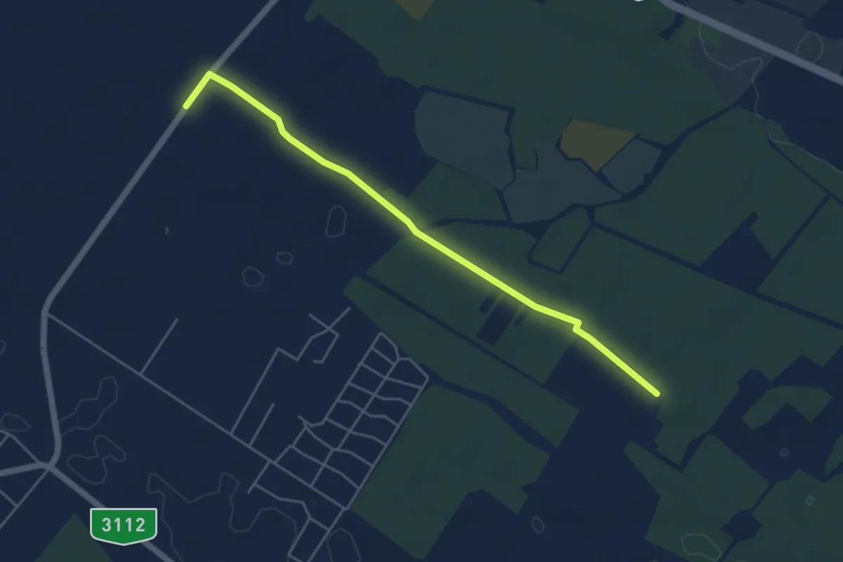
Easy · Trail
Z+ (Tápiószentmárton)
4.7 km · ↑ 12 m · 1 h 9 min
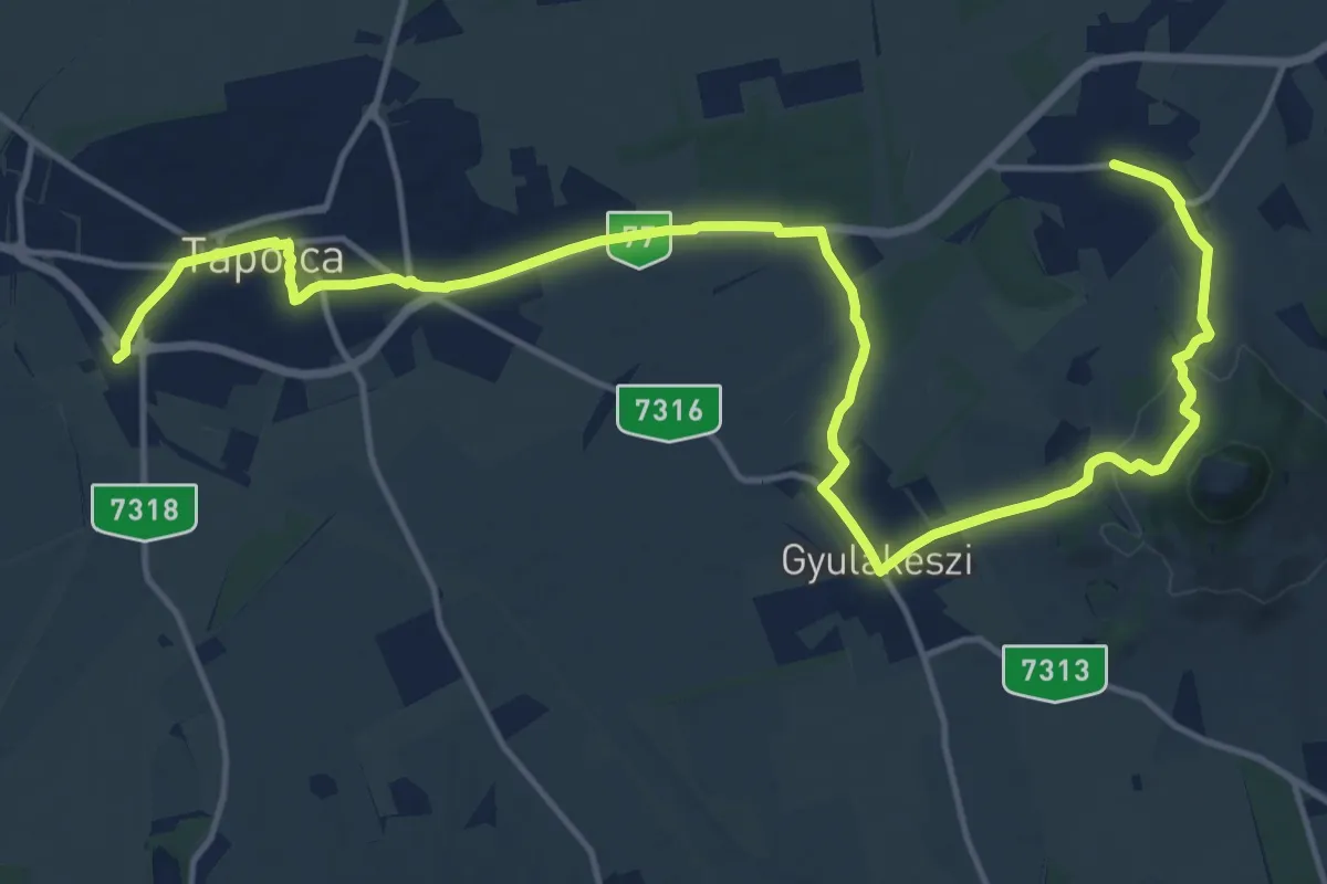
Demanding · Trail
Z (Tapolca – Gyulakeszi – Diszel)
20.3 km · ↑ 278 m · 5 h 24 min
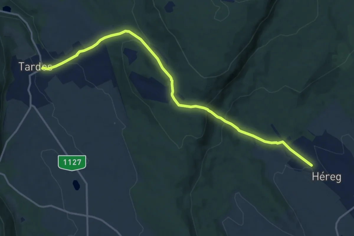
Medium · Trail
Z (Tardos – Héreg, felső aut. m.)
11.7 km · ↑ 415 m · 3 h 40 min
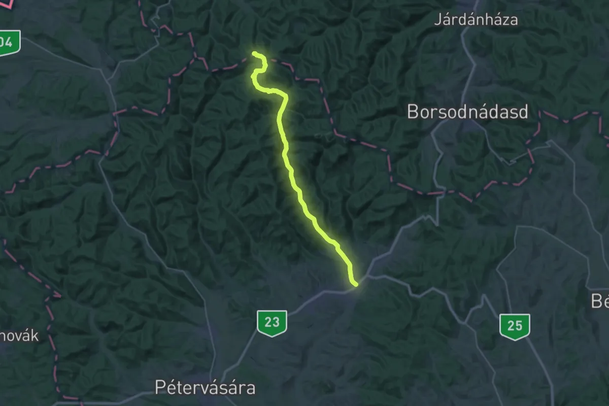
Demanding · Trail
Z (Tarnalelesz – B.A.Z. megye határa)
25.2 km · ↑ 449 m · 6 h 56 min
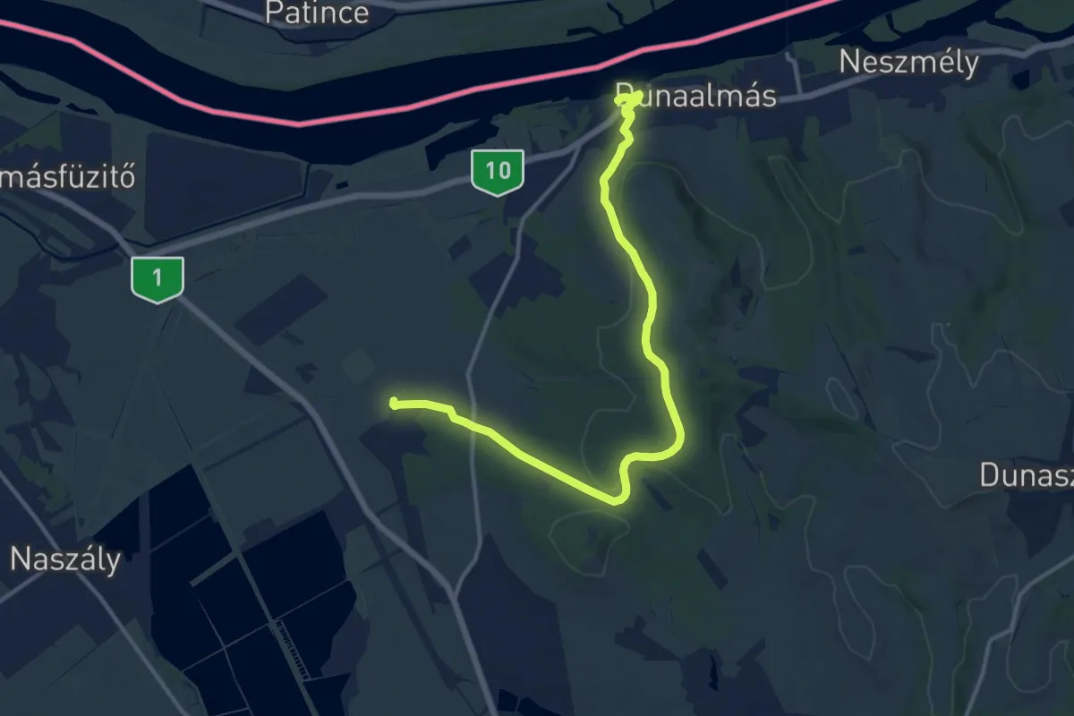
Medium · Trail
Z (Tata – Szomód – Dunaalmás, vm.)
13.3 km · ↑ 257 m · 3 h 42 min
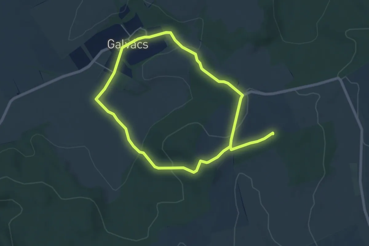
Medium · Summit
ZT, Bódva-völgyi ötvenhatosok tanösvény
9.1 km · ↑ 239 m · 2 h 41 min
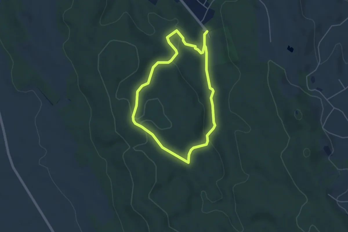
Easy · Trail
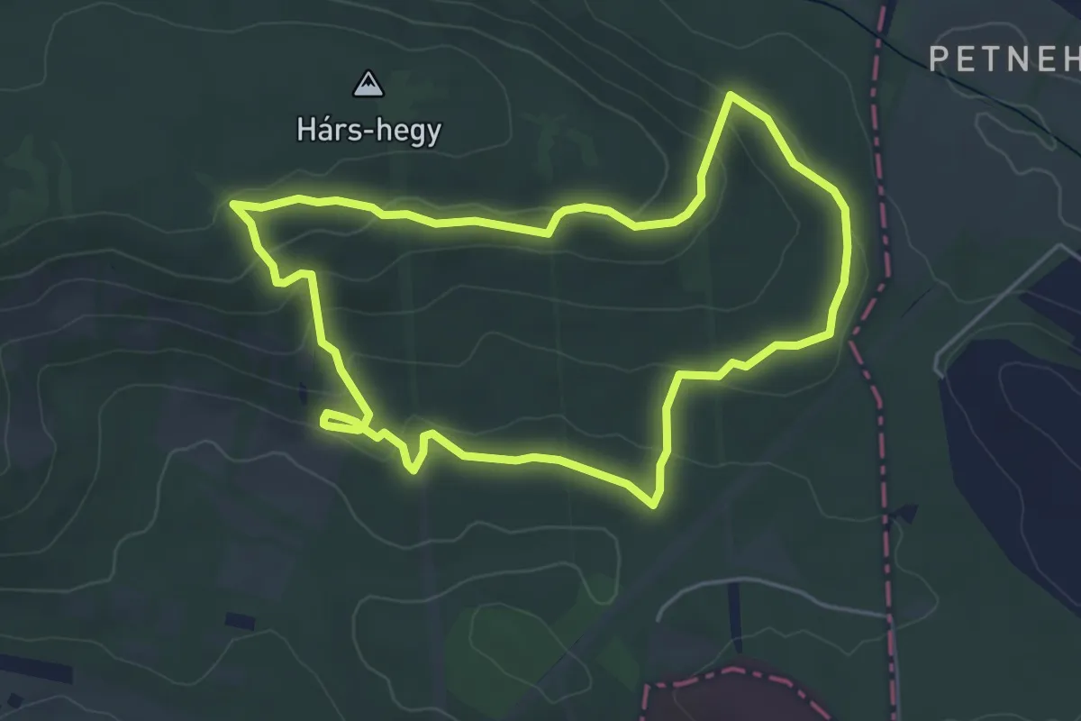
ZT, Borz csapás
4.0 km · ↑ 93 m · 1 h 11 min
Easy · Trail
Zt Budakeszi Vadaskert OTP Tanösvény (Budakeszi Vadaspark)
4.6 km · ↑ 139 m · 1 h 27 min
Easy · Trail
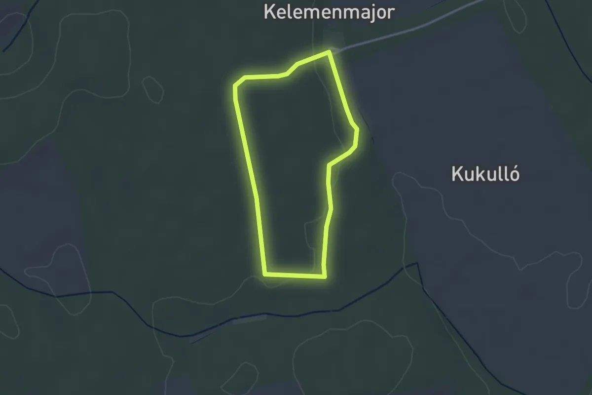
ZT, Cinege tanösvény
2.4 km · ↑ 23 m · 40 min
Easy · Trail
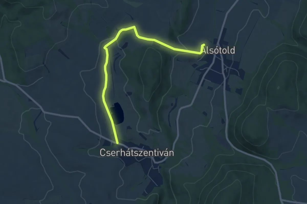
ZT (Cserhátszentiván – Alsótold )
6.9 km · ↑ 113 m · 1 h 52 min
Easy · Trail
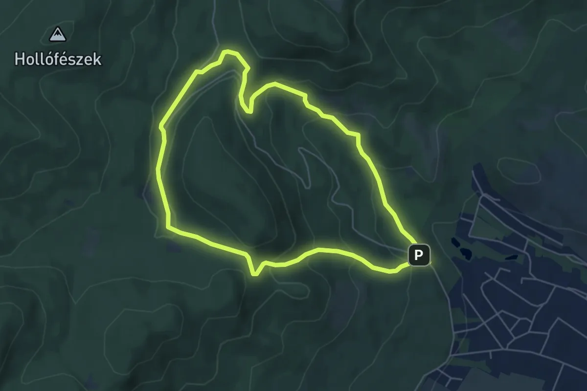
ZT, Diósjenői erdészeti tanösvény
5.2 km · ↑ 235 m · 1 h 49 min
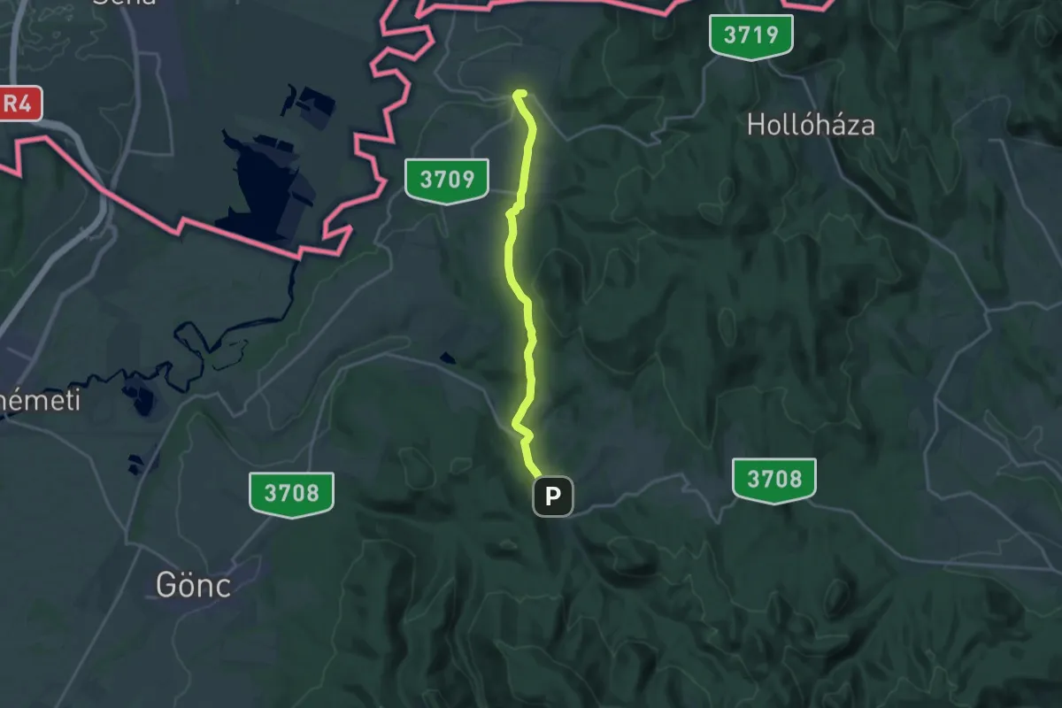
Medium · Trail
Z+ (Telkibánya – Kéked)
15.2 km · ↑ 326 m · 4 h 18 min
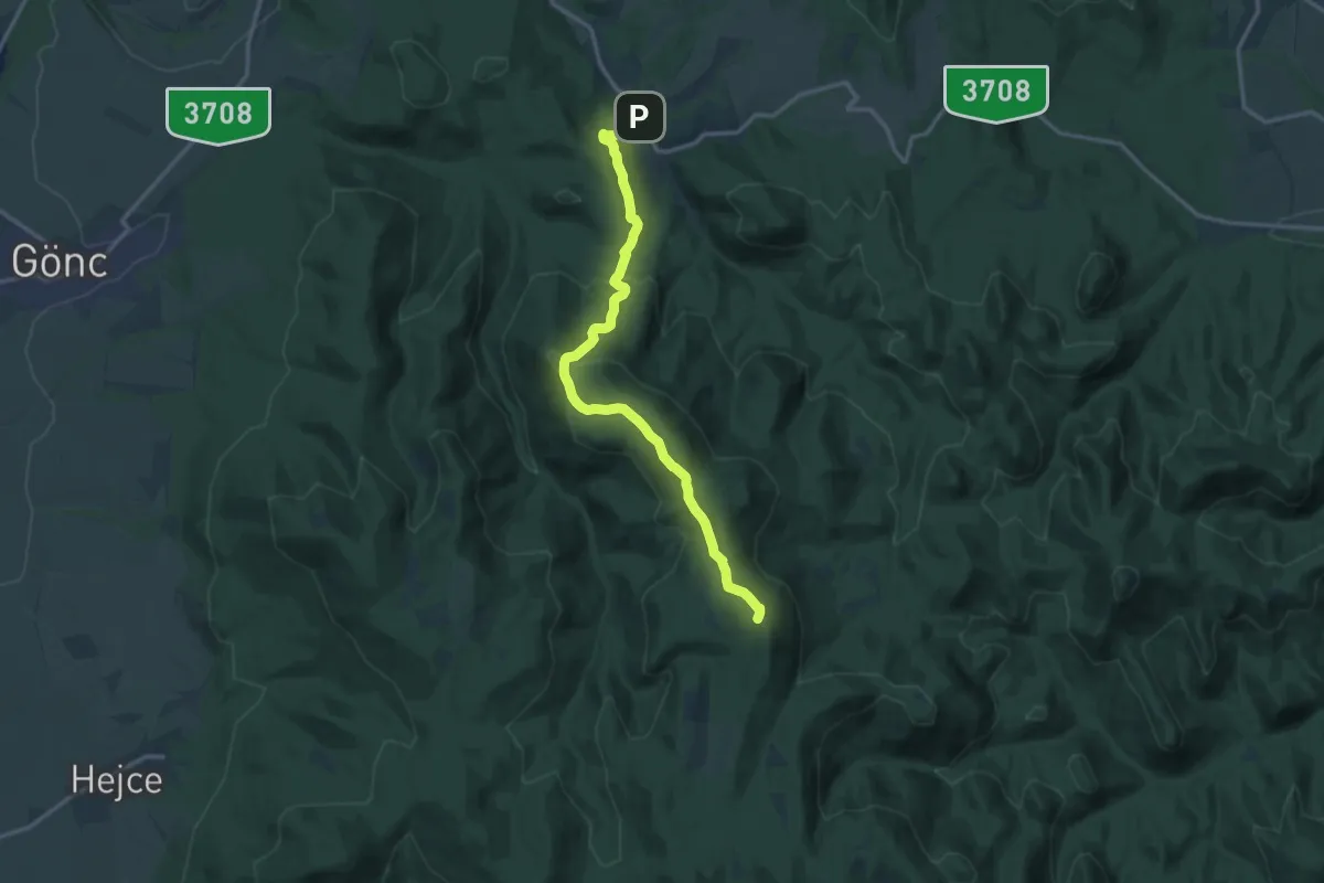
Medium · Summit
Z (Telkibánya – Regéc)
14.5 km · ↑ 585 m · 4 h 42 min
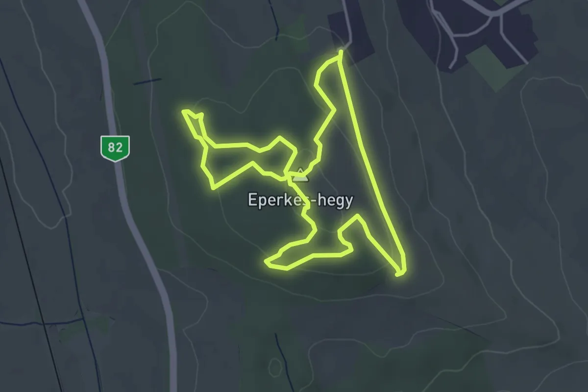
Easy · Summit
ZT, Eperjes tanösvény
4.0 km · ↑ 84 m · 1 h 11 min
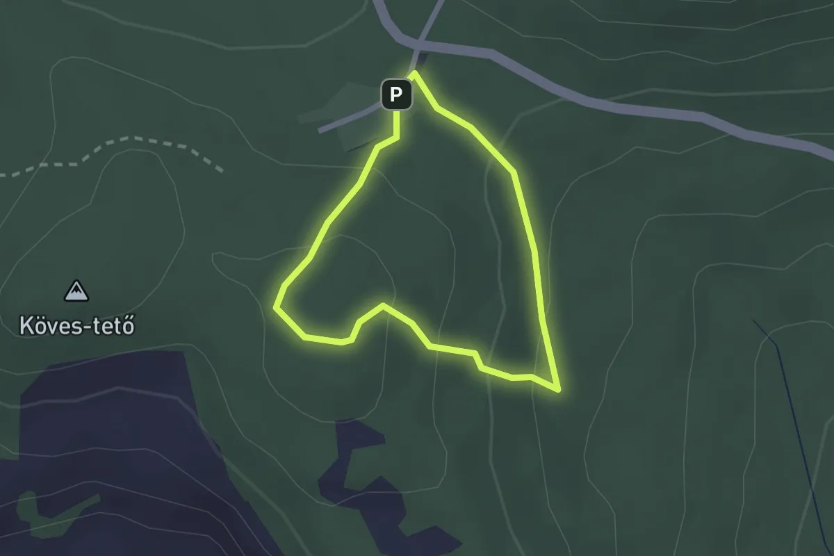
Easy · Trail
ZT, Erdei mesterségek tanösvény
1.7 km · ↑ 72 m · 35 min
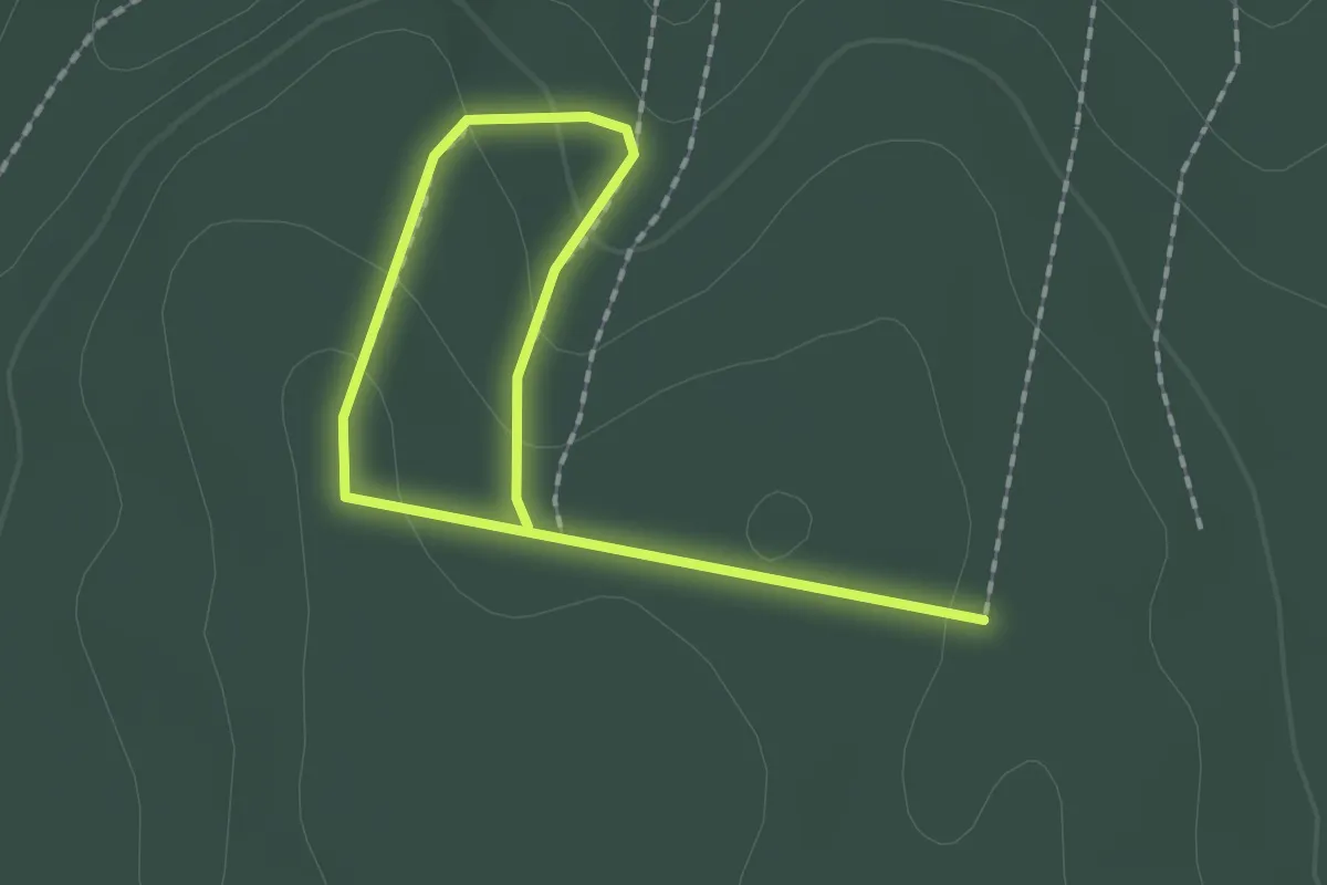
Easy · Trail
ZT, Erdészeti tanösvény
2.3 km · ↑ 81 m · 43 min
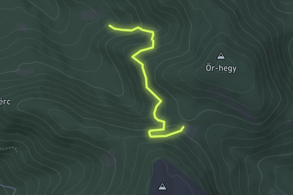
Easy · Trail
ZT, Erdőanyai Tanösvény (Vízverés nyerge – Erdőanyai-rét)
3.5 km · ↑ 205 m · 1 h 16 min
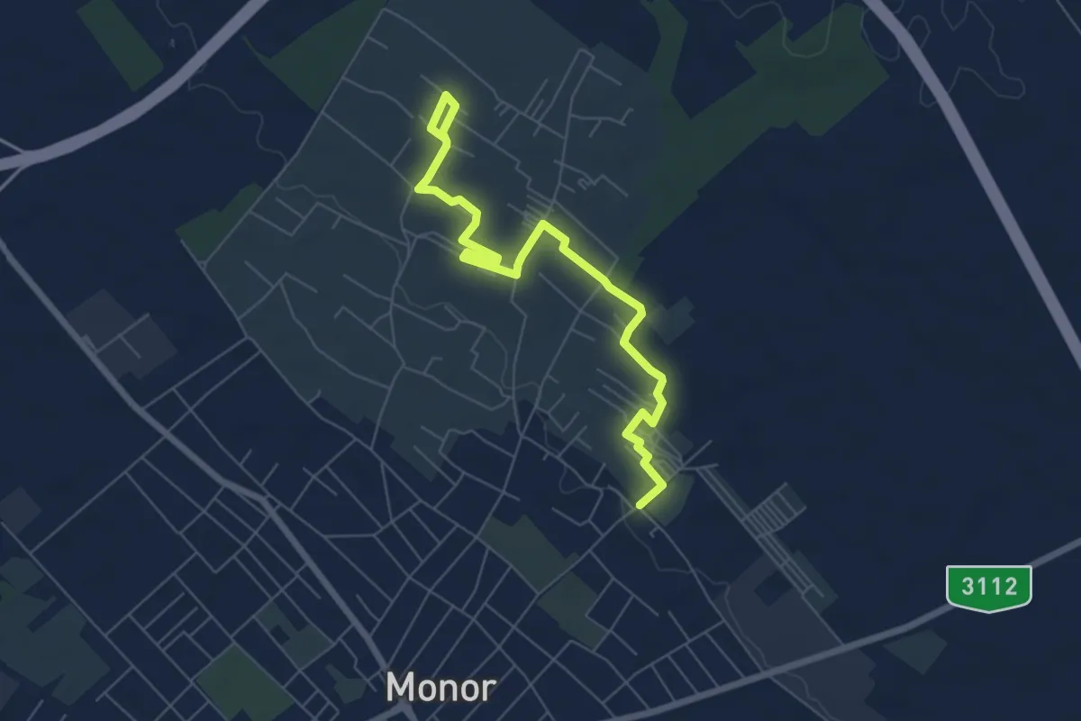
Easy · Trail
ZT, Ezer pince tanösvény
7.1 km · ↑ 60 m · 1 h 48 min
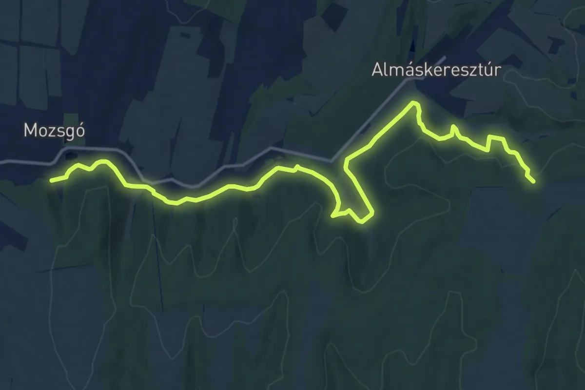
Medium · Trail
ZT, Ezüsthárs tanösvény
15.2 km · ↑ 413 m · 4 h 30 min
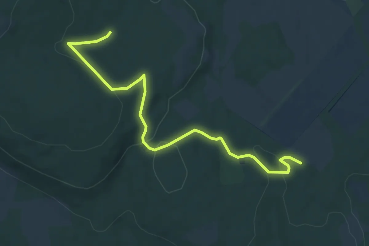
Easy · Trail
ZT, Fekete István-tanösvény
7.0 km · ↑ 184 m · 2 h 3 min
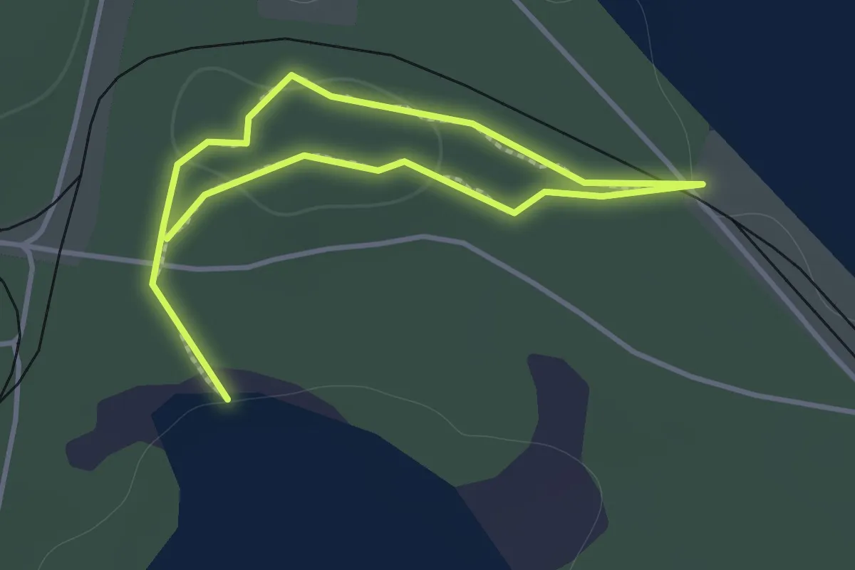
Easy · Trail
ZT, Forgó-tavi tanösvény
1.1 km · ↑ 13 m · 18 min
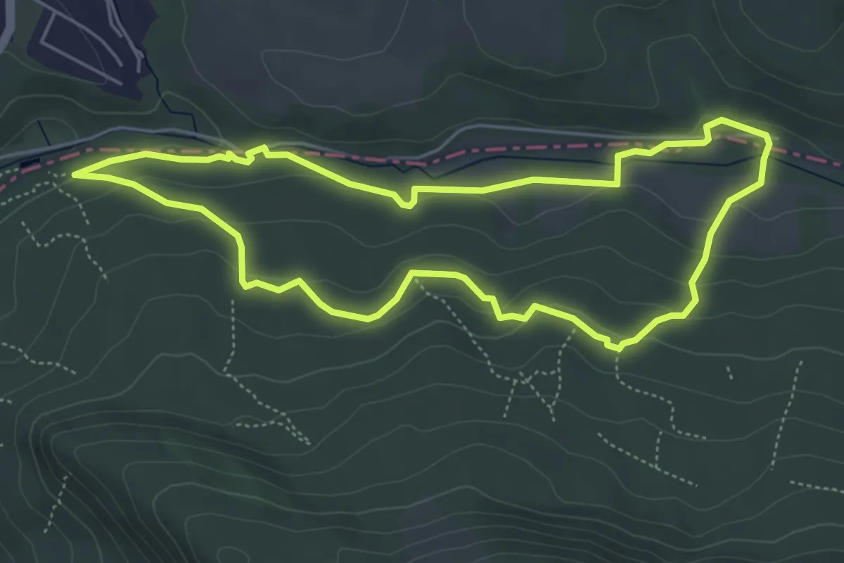
Easy · Trail
ZT, Gyadai tanösvény
5.0 km · ↑ 136 m · 1 h 33 min
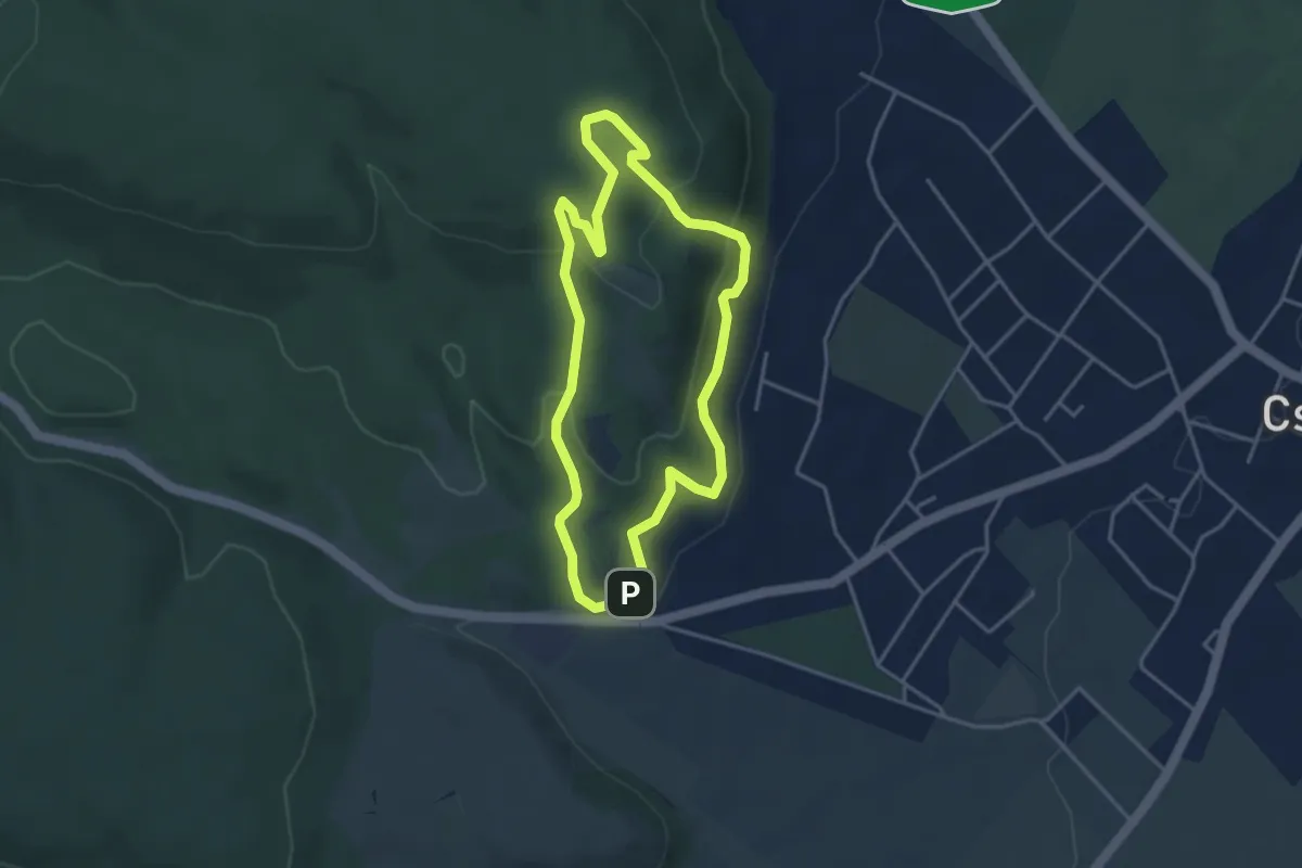
Easy · Summit
ZT, Haraszt-hegyi tanösvény
3.5 km · ↑ 178 m · 1 h 16 min
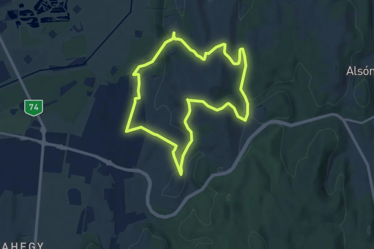
Easy · Trail
ZT, Horhosok útja
8.0 km · ↑ 208 m · 2 h 27 min
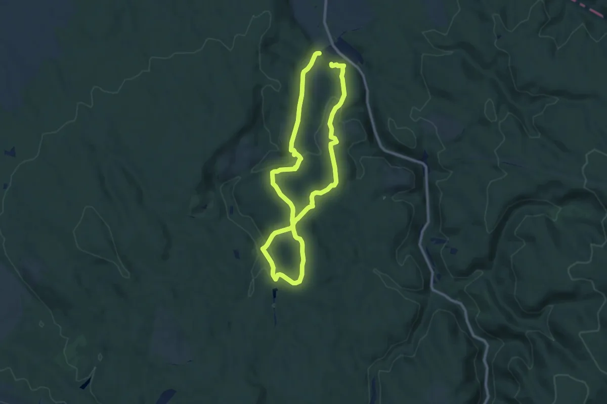
Medium · Trail
ZT, Hubertlaki tanösvény
8.1 km · ↑ 231 m · 2 h 31 min
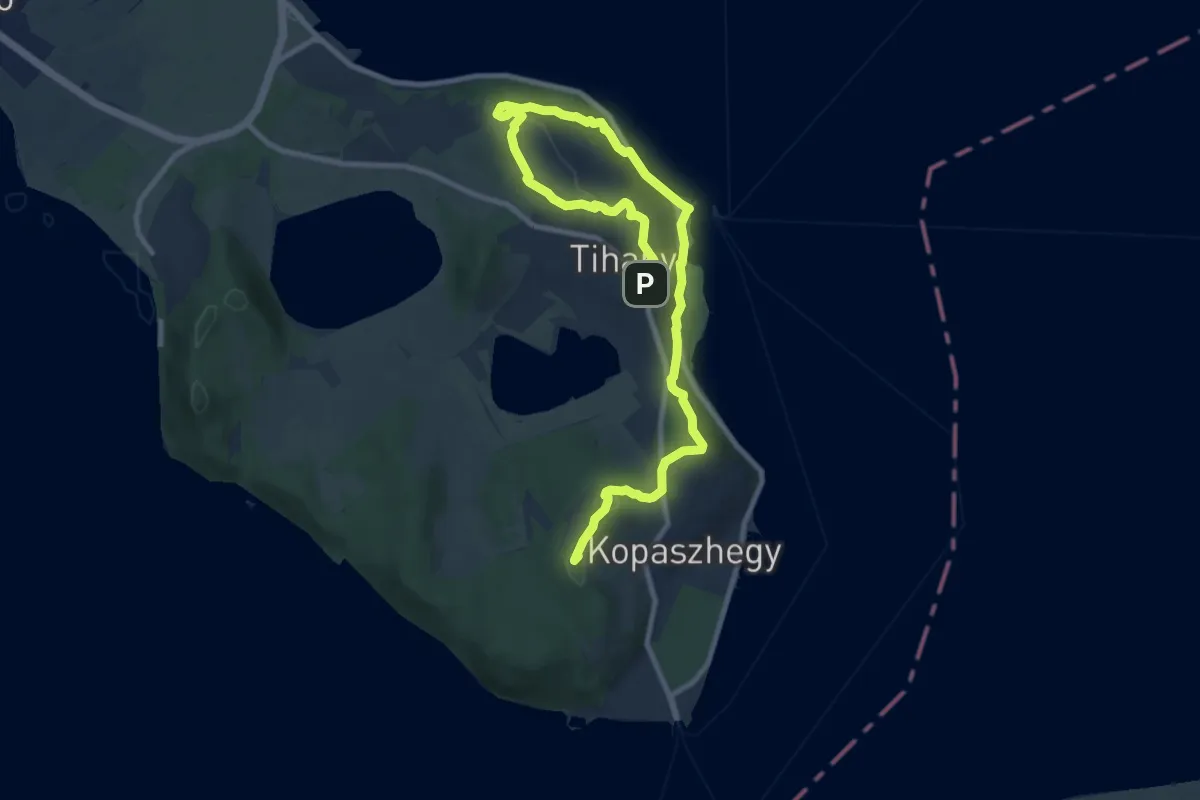
Medium · Summit
Z (Tihany, apátsági templom – Tihany, rév)
13.5 km · ↑ 394 m · 4 h 2 min
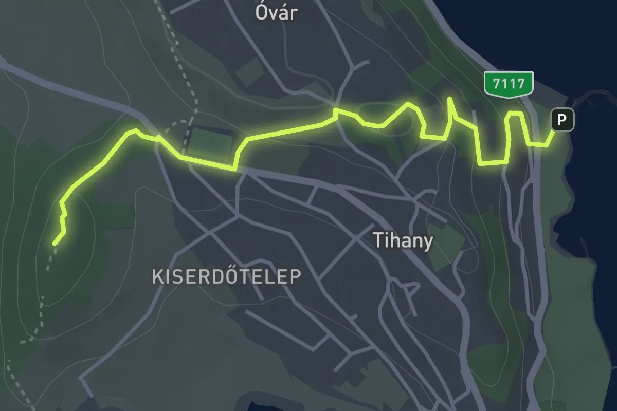
Easy · Summit
Z▲ (Tihany, há. – Csúcs-hegy)
4.3 km · ↑ 138 m · 1 h 19 min
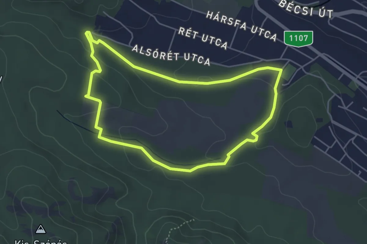
Easy · Summit
ZT, Jági tanösvény (Pilisszentiván, Villa Negra vendéglő – Vadász-rét)
4.1 km · ↑ 78 m · 1 h 11 min
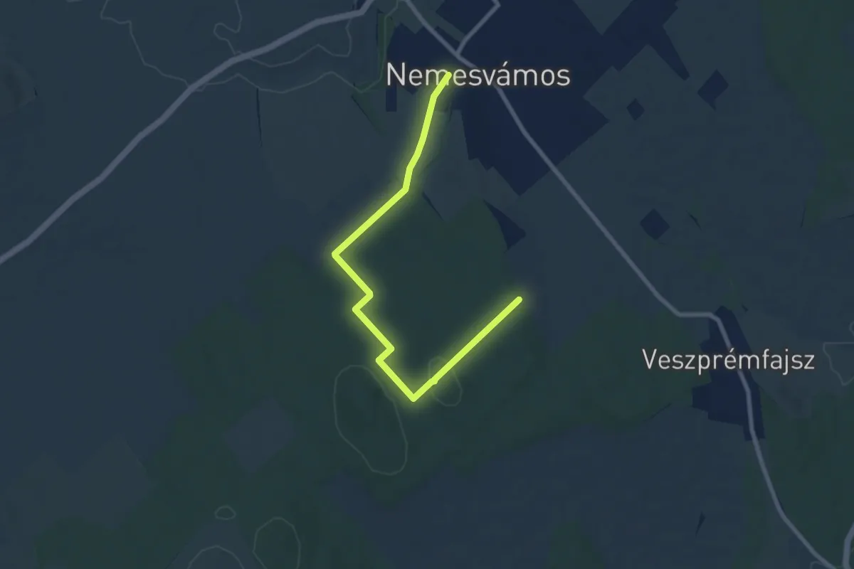
Medium · Trail
ZT, Katrabócza tanösvény
8.1 km · ↑ 125 m · 2 h 11 min
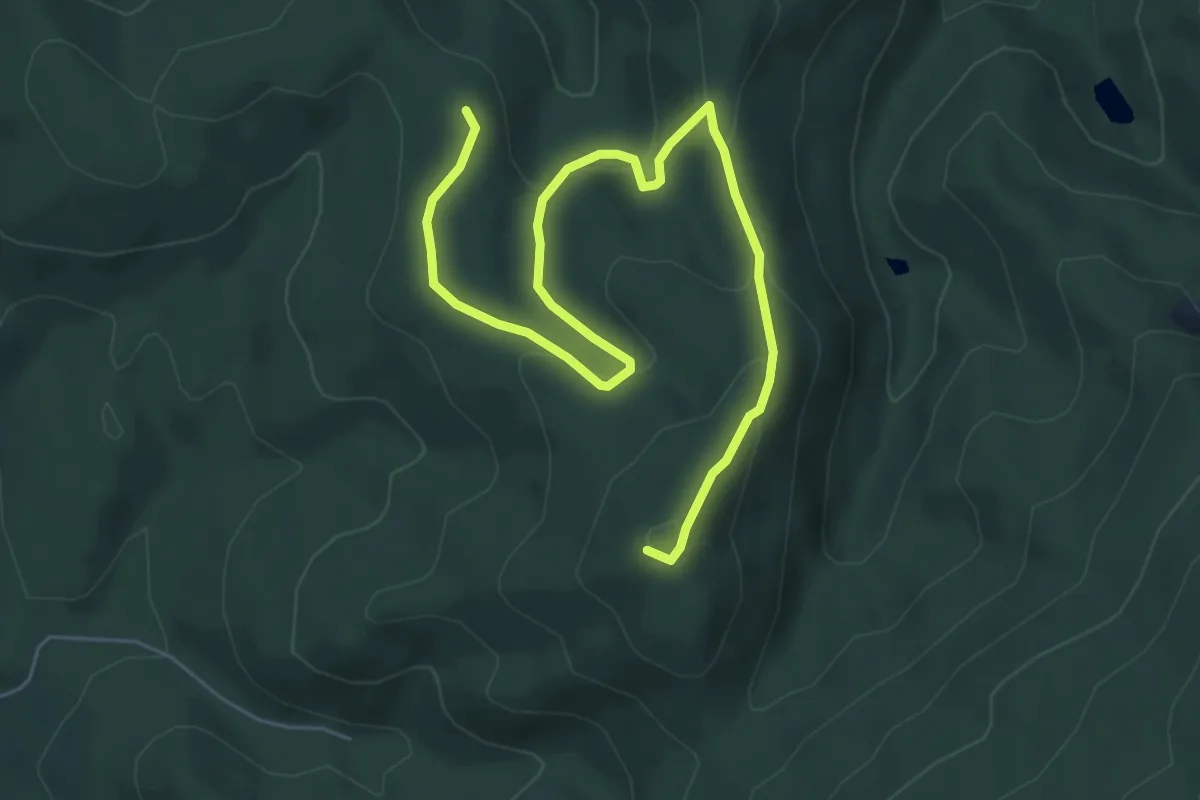
Easy · Summit
ZT, Kelemen széke tanösvény
7.4 km · ↑ 241 m · 2 h 16 min
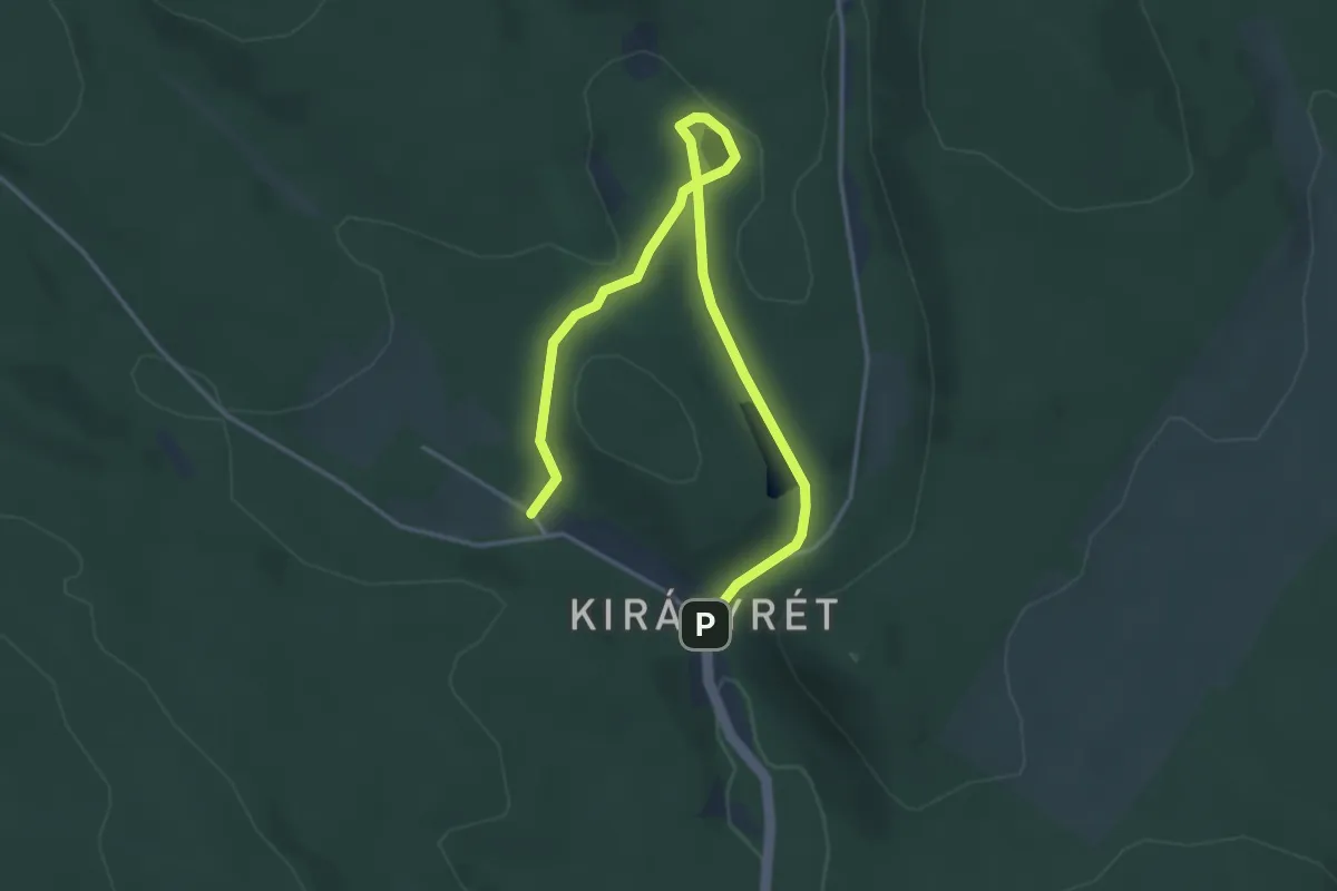
Easy · Trail
ZT, Királyréti tanösvény
4.5 km · ↑ 81 m · 1 h 14 min
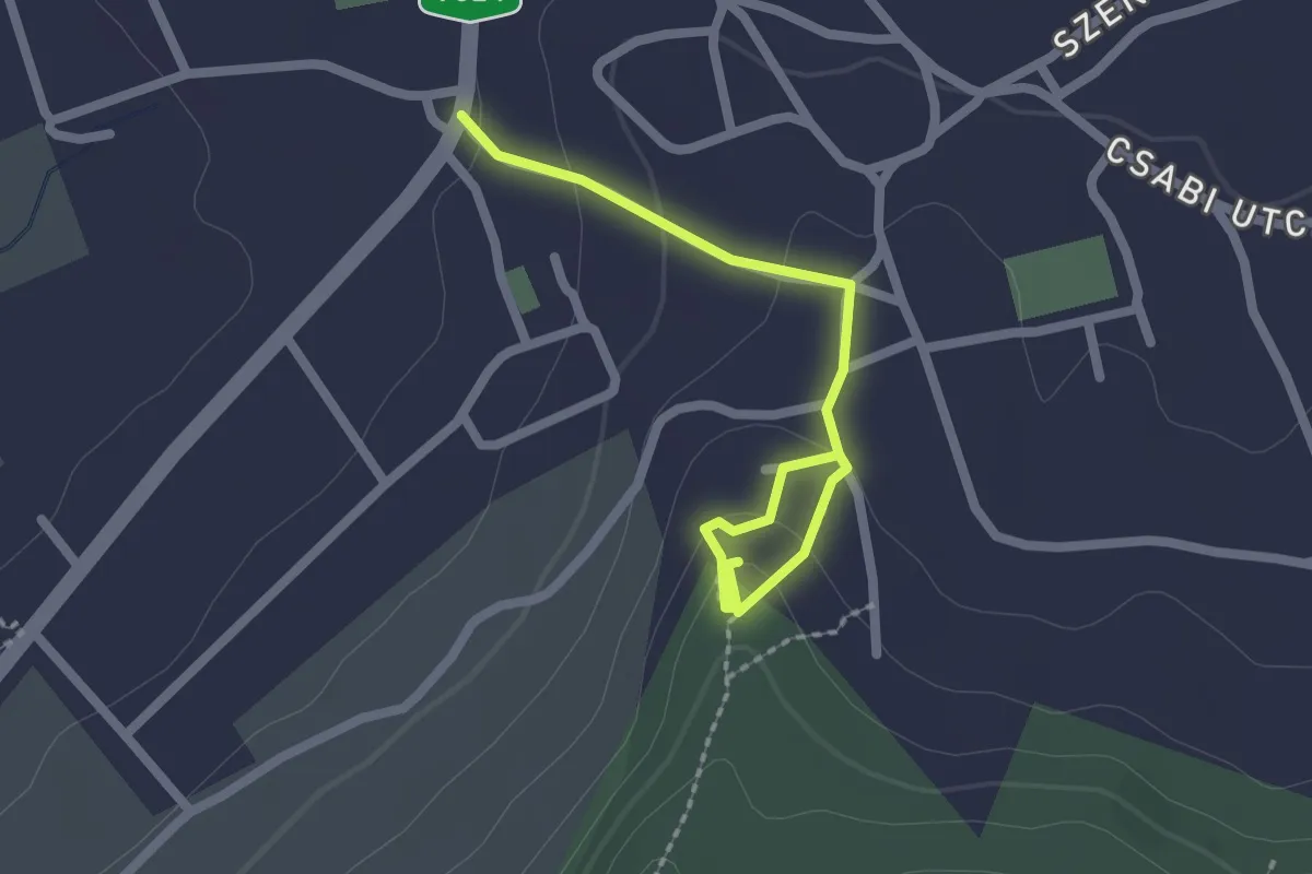
Easy · Trail
ZT, Kőkatlan tanösvény
2.3 km · ↑ 73 m · 42 min
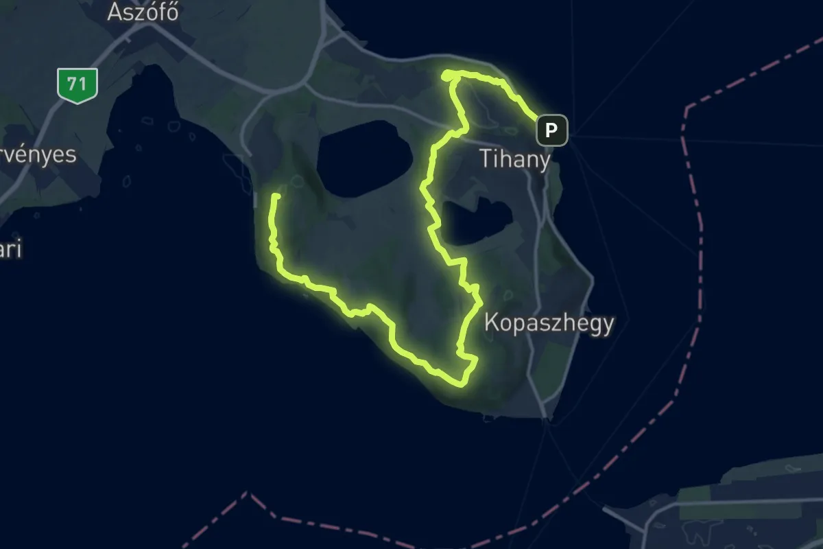
Demanding · Summit
ZT, Lóczy-Gejzír tanösvény
20.0 km · ↑ 645 m · 6 h 6 min
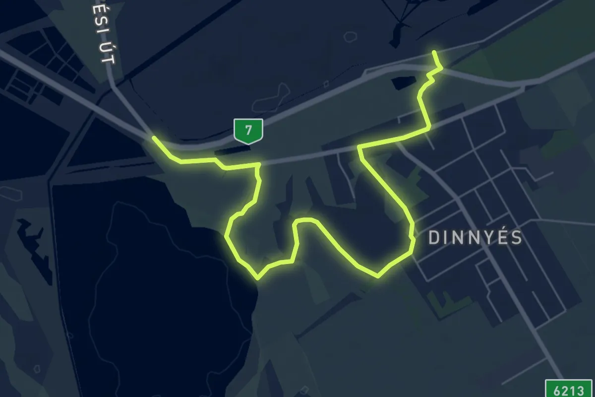
Medium · Trail
ZT, Madárdal tanösvény
8.1 km · ↑ 0 m · 1 h 55 min
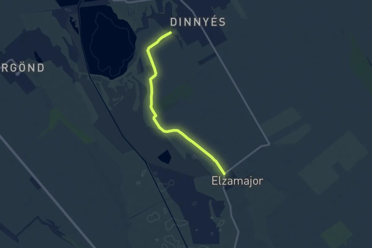
Easy · Trail
ZT, Madárdal tanösvény, Szikes túra
7.5 km · ↑ 12 m · 1 h 47 min
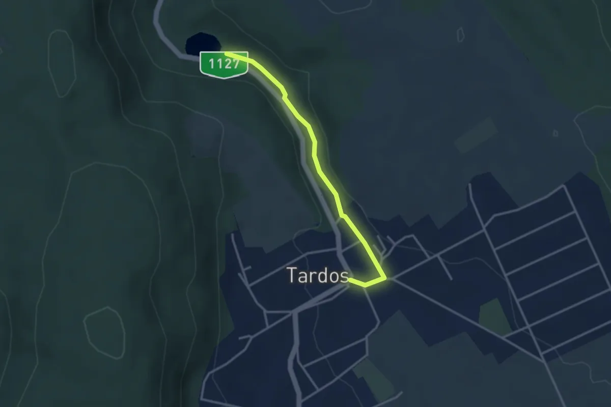
Easy · Trail
ZT, Malom-völgyi tanösvény (Tardos, süttői elágazás aut. m. – Malom-völgy – Malom-völgyi-tó)
2.8 km · ↑ 25 m · 43 min
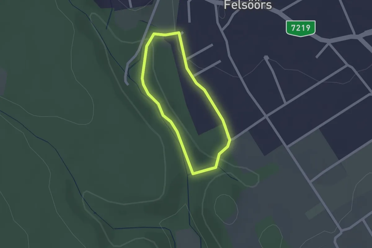
Easy · Trail
ZT, Malom-völgy tanösvény
1.4 km · ↑ 36 m · 26 min
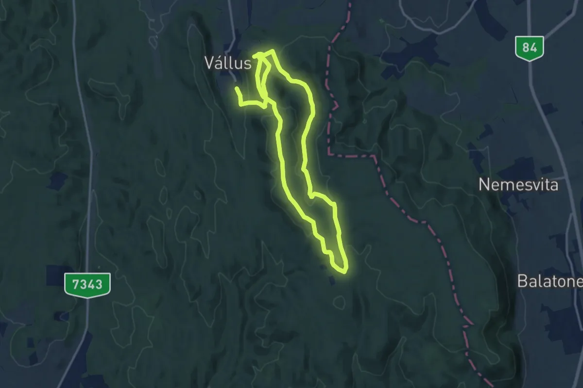
Demanding · Trail
ZT, Medvehagyma tanösvény
22.1 km · ↑ 632 m · 6 h 35 min
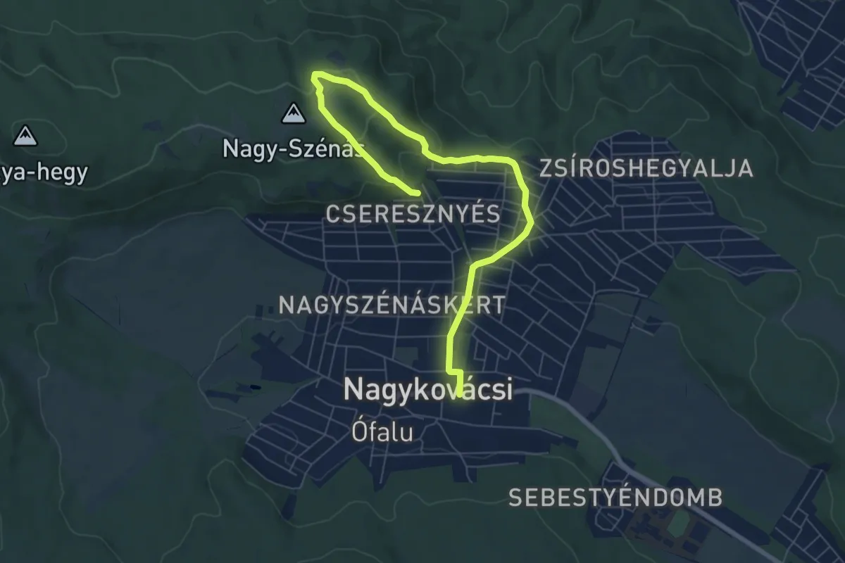
Easy · Trail
ZT, Nagy-Szénás tanösvény (Nagykovácsi, Községháza – Felső-Zsíros-hegy, egykori kőfejtő – Nagy-szénási turistaház emlékfal – Szeles utca)
8.0 km · ↑ 314 m · 2 h 34 min
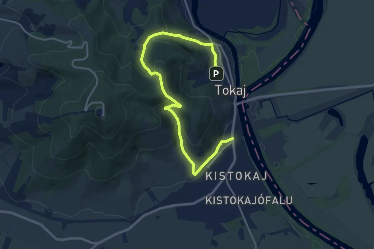
Medium · Trail
Z (Tokaj)
11.2 km · ↑ 480 m · 3 h 41 min
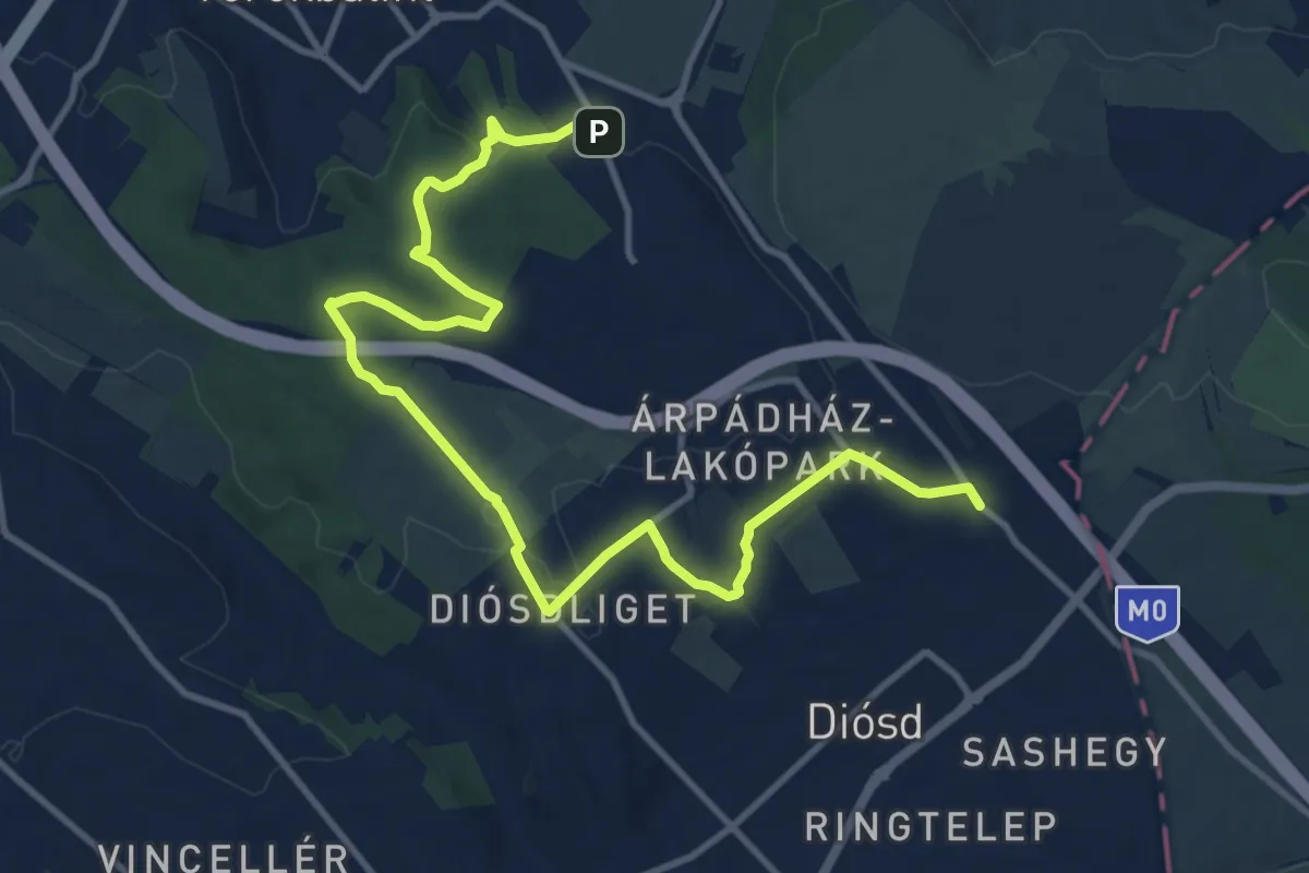
Medium · Trail
Z (Törökbálint)
14.1 km · ↑ 252 m · 3 h 52 min
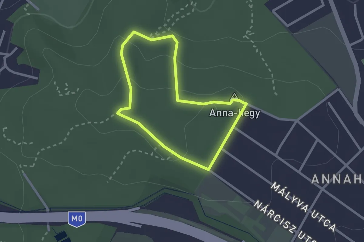
Easy · Summit
Z↺ (Törökbálint, Anna-hegy)
1.8 km · ↑ 35 m · 31 min
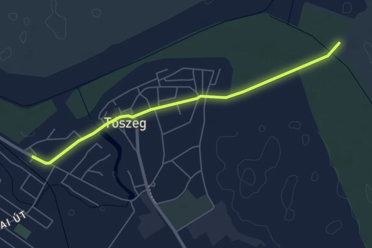
Easy · Trail
Z+ (Tószeg)
4.7 km · ↑ 13 m · 1 h 9 min