Trails in India
1,049 hiking trails, each with its route, climb, walking time and grade.
Near a town
- Ahmedabad
- Almora
- Bengaluru
- Bongaigaon
- Chamba
- Chandigarh
- Chhatrapati Sambhajinagar
- Dehradun
- Delhi
- Delhi Cantonment
- Dharamshala
- Ernakulam
- Faridabad
- Hyderabad
- Jaipur
- Kalyan-Dombivli
- Kochi
- Kolar
- Kulgaon Badlapur
- Leh
- Madurai
- Mira-Bhayander
- Mohali
- Nashik
- New Delhi
- Noida
- Old Gajuwaka
- Palampur
- Panaji
- Panchkula
- Panvel
- Pimpri-Chinchwad
- Pune
- Satara
- Secunderabad
- Shillong
- Solan
- Srinagar
- Thane
- Ulhasnagar
- Vasai-Virar
- Visakhapatnam
- Ziro
All trails, page 1 of 22
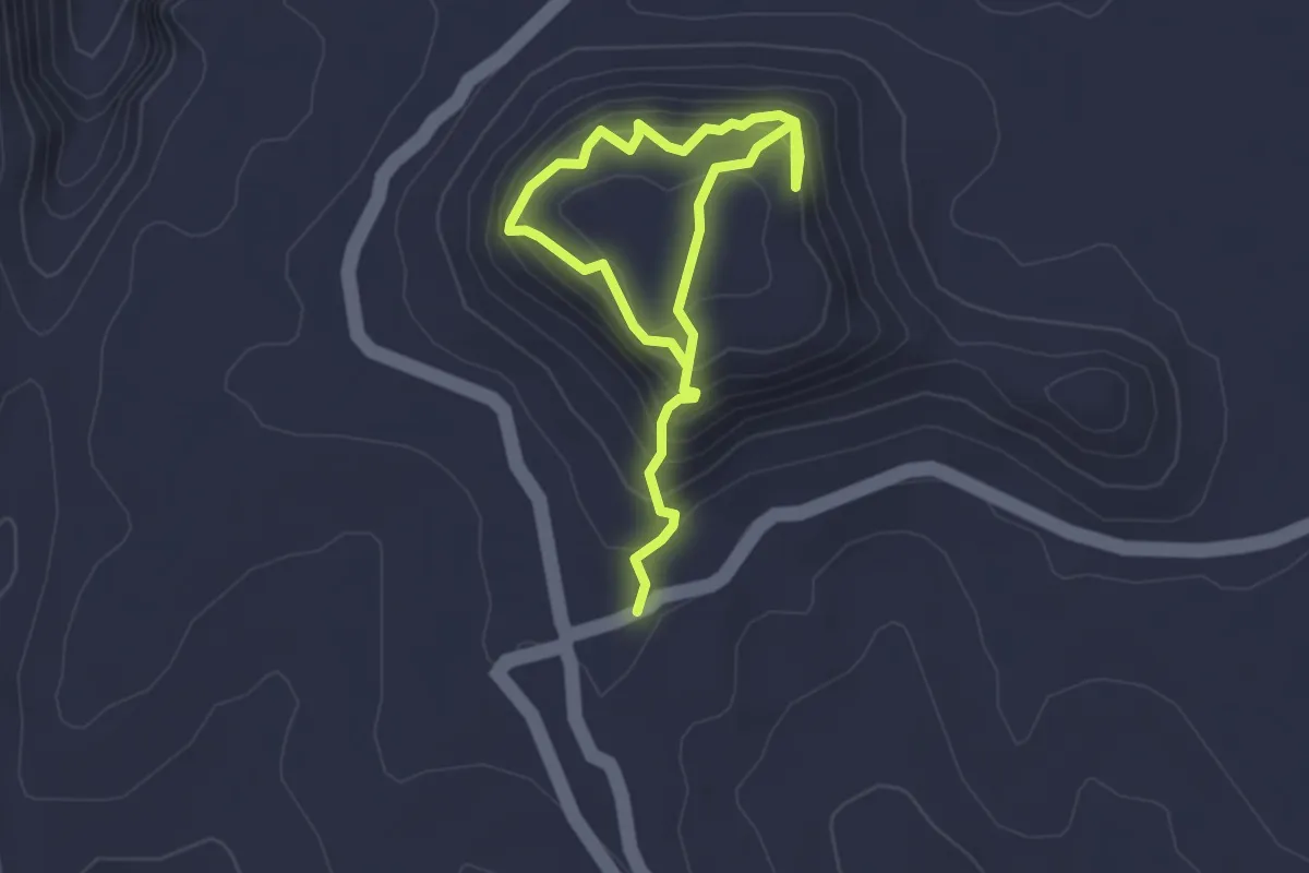
Medium · Trail
Aad Fort
4.9 km · ↑ 449 m · 2 h 7 min
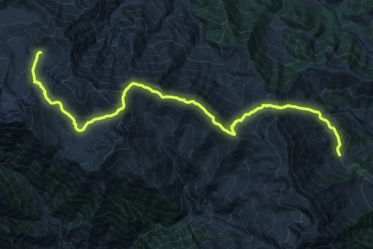
Demanding · Trail
Achhan to Gugalmarg
21.0 km · ↑ 1740 m · 8 h 50 min
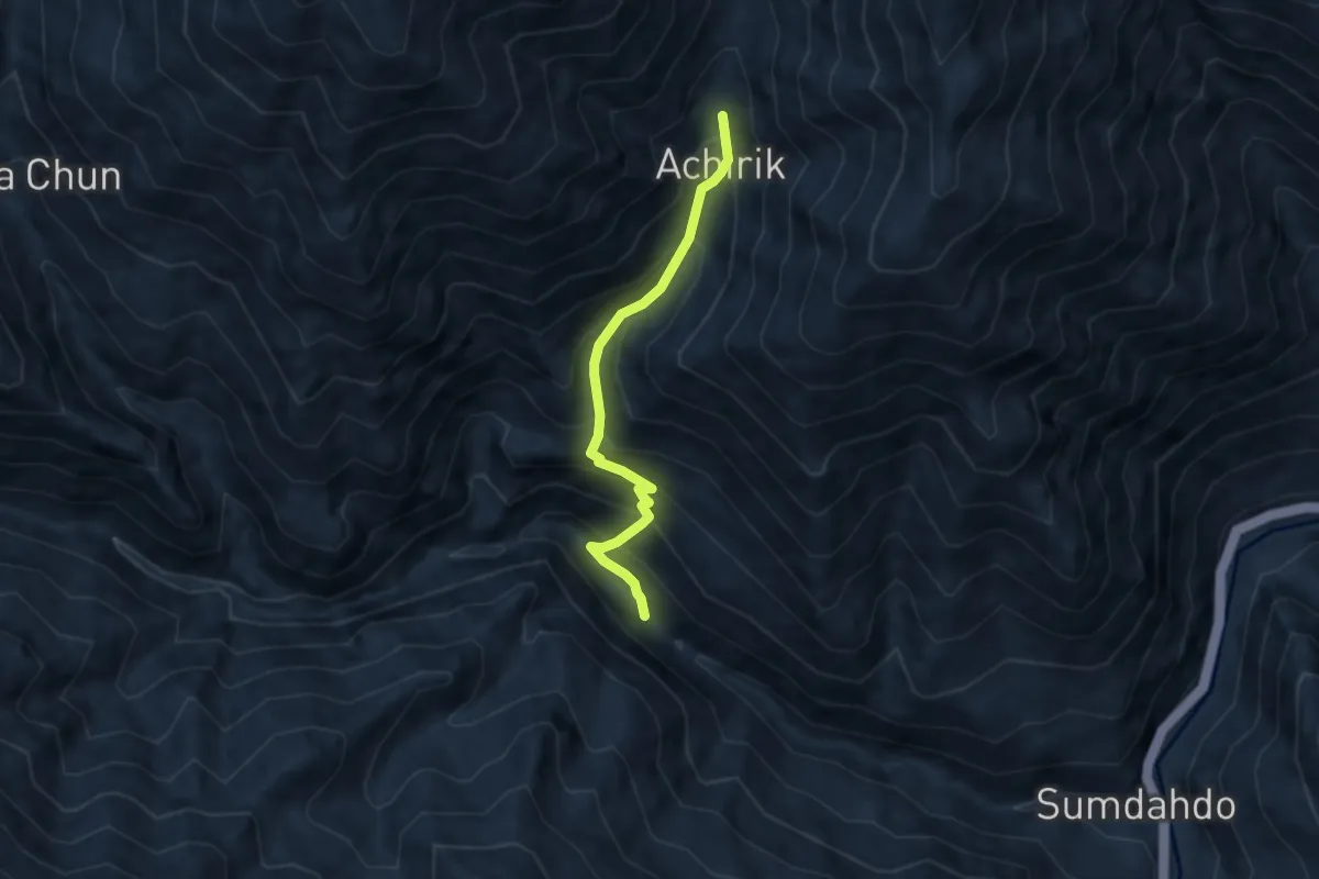
Medium · Trail
Achirik
6.9 km · ↑ 730 m · 3 h 13 min
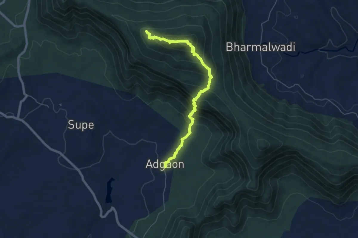
Medium · Trail
Adagaon to Singheshwar Peak
7.4 km · ↑ 612 m · 3 h 5 min
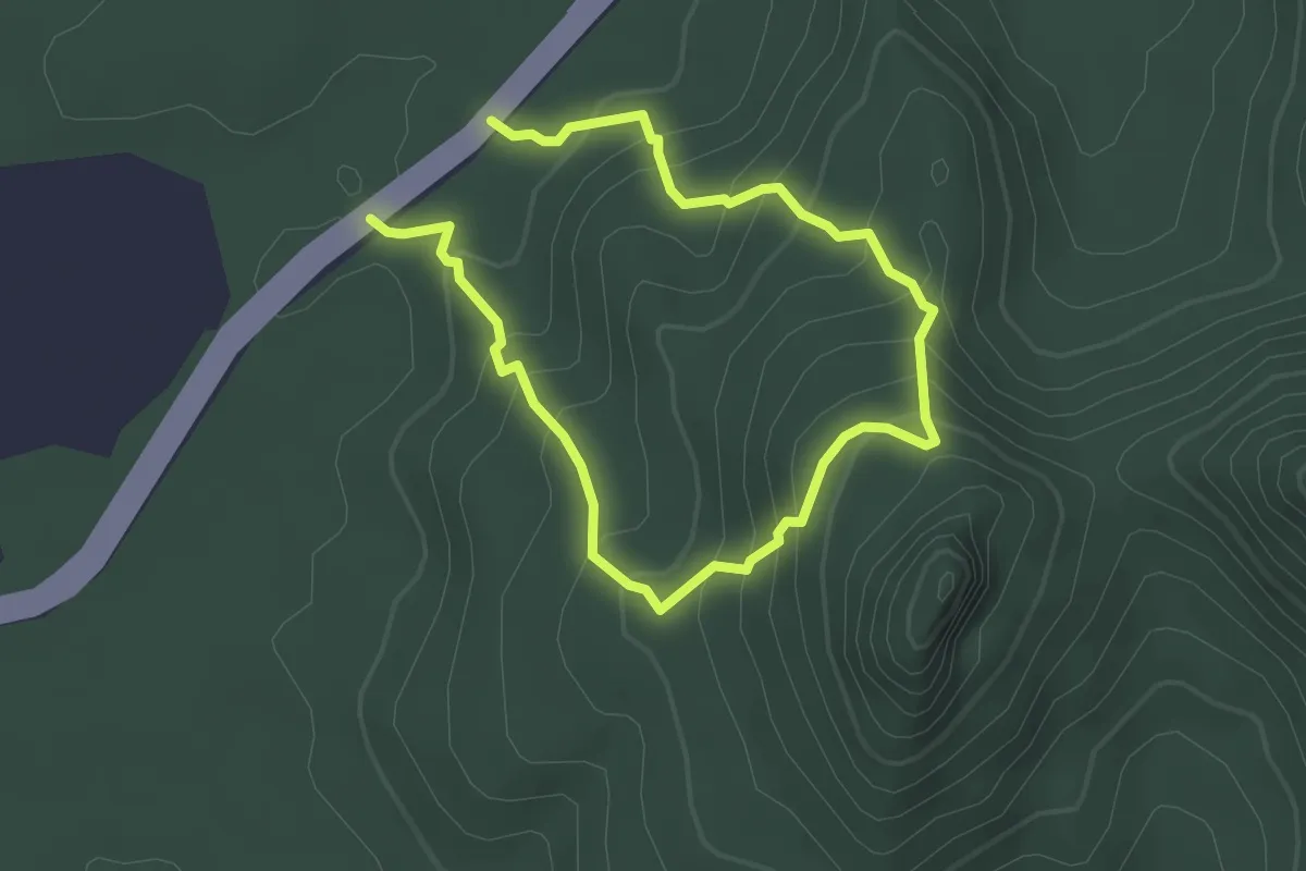
Medium · Trail
Adsule Pinnacle
5.7 km · ↑ 451 m · 2 h 19 min
Demanding · Trail
Agasthyakoodam Trail
29.0 km · ↑ 1802 m · 11 h 9 min
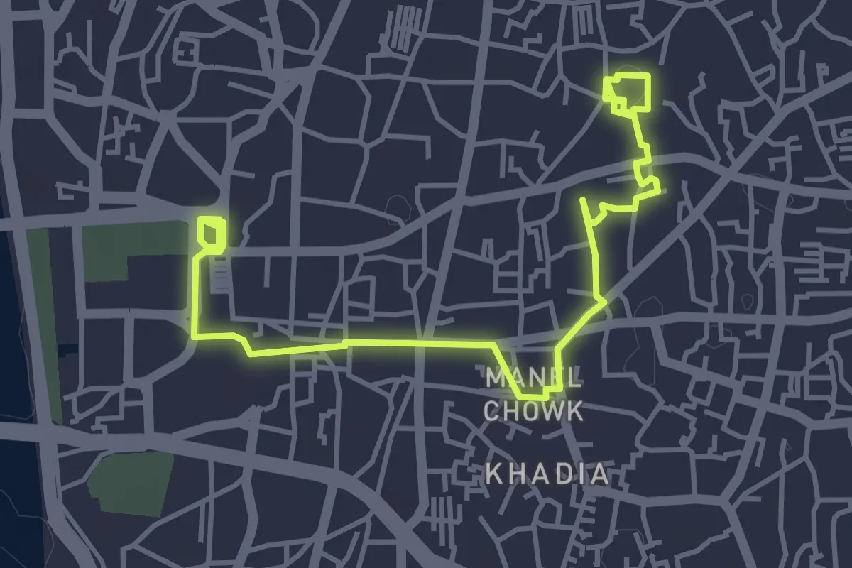
Easy · Trail
Ahmedabad Heritage Walk
6.8 km · ↑ 32 m · 1 h 41 min
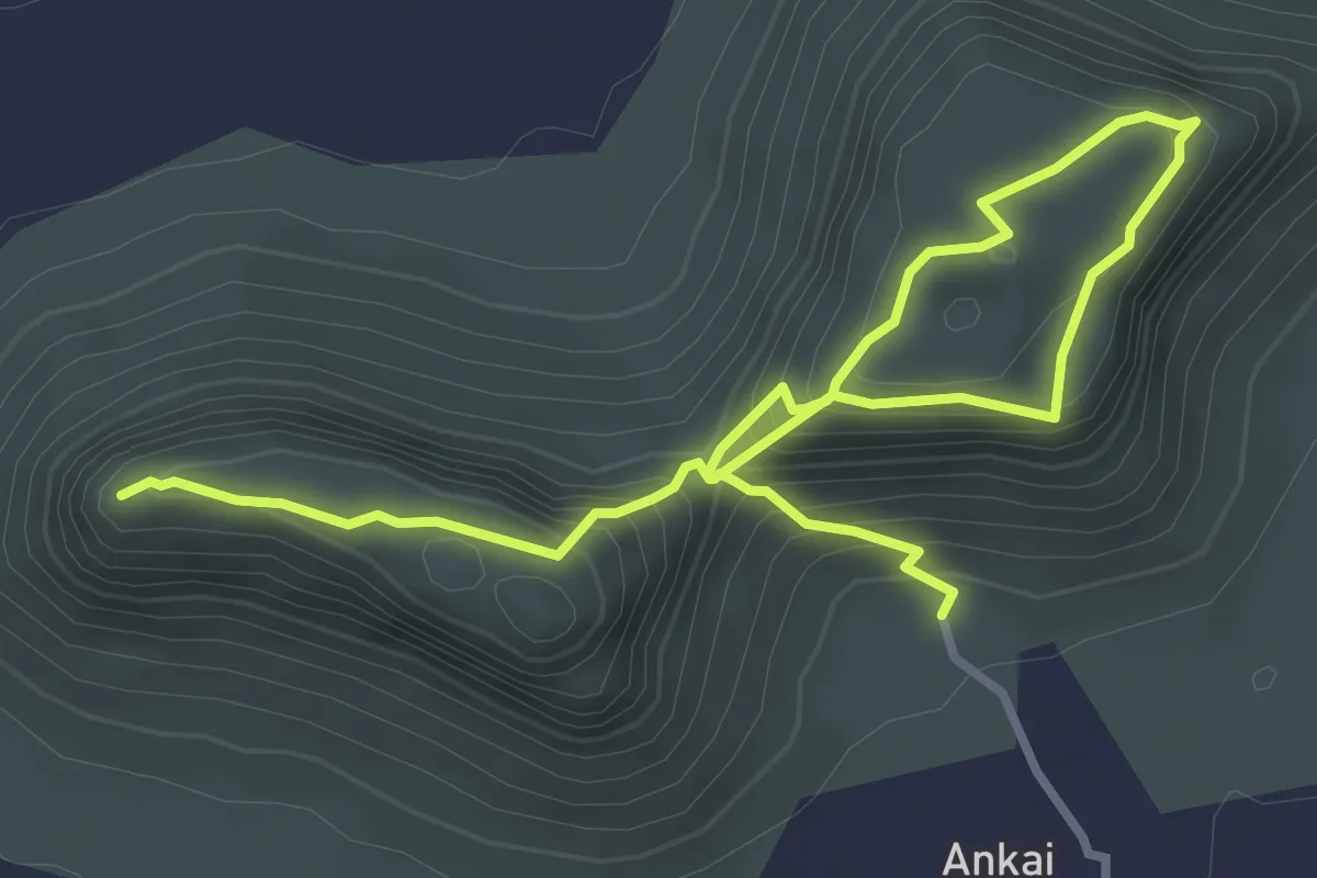
Medium · Trail
Ainkai Tankai Fort
6.6 km · ↑ 529 m · 2 h 43 min
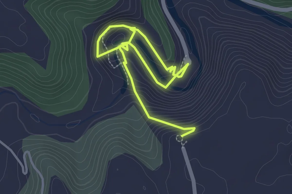
Easy · Trail
Ajanta Caves
5.4 km · ↑ 304 m · 1 h 56 min
Medium · Trail
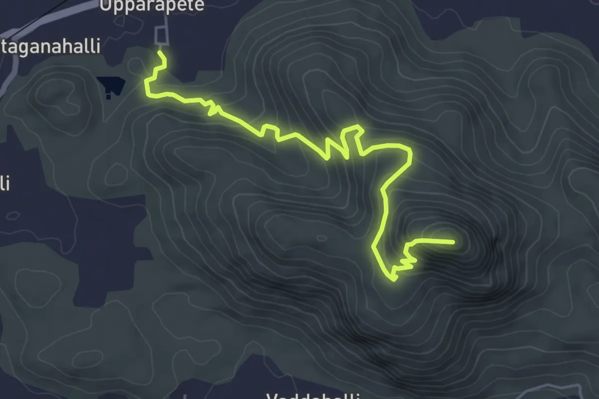
Ambajidurga Fort
7.8 km · ↑ 457 m · 2 h 49 min
Medium · Trail
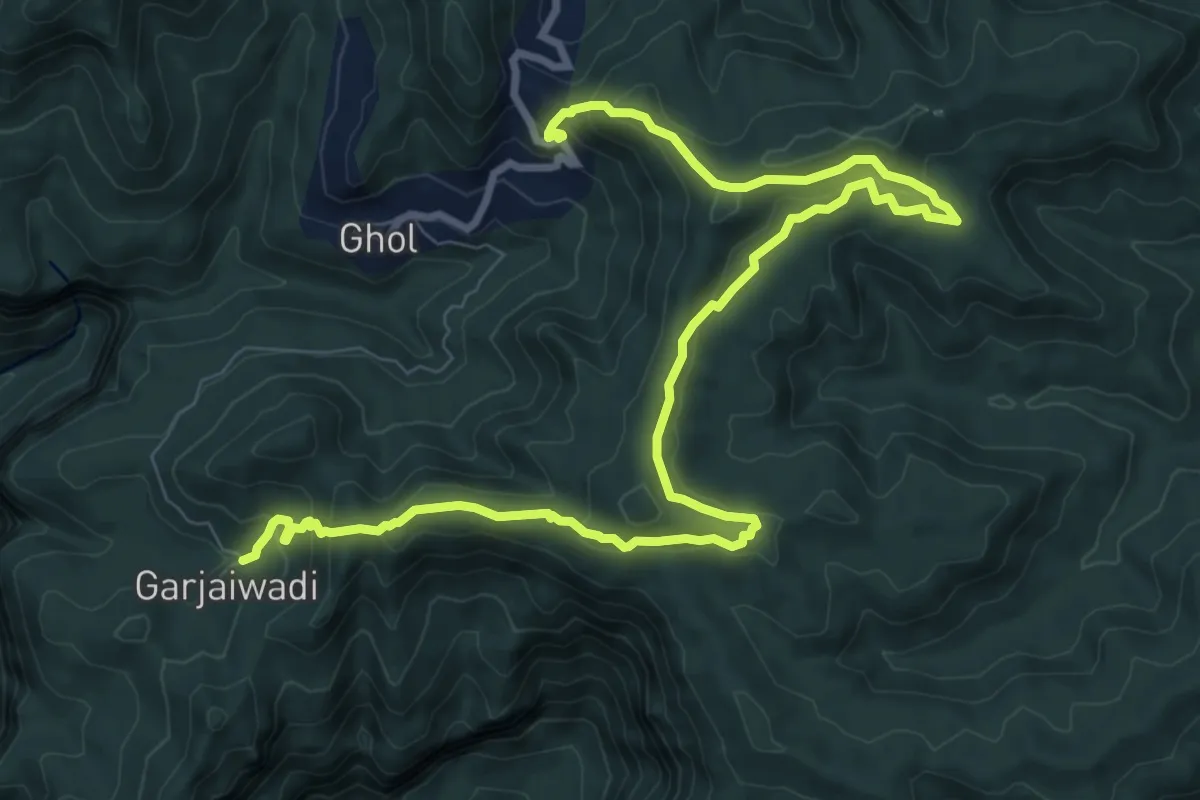
Ambe Hill
16.0 km · ↑ 664 m · 5 h 13 min
Easy · Trail
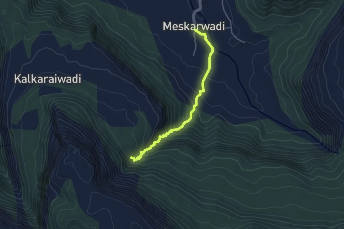
Ambenalichya jurra
4.1 km · ↑ 291 m · 1 h 36 min
Medium · Trail
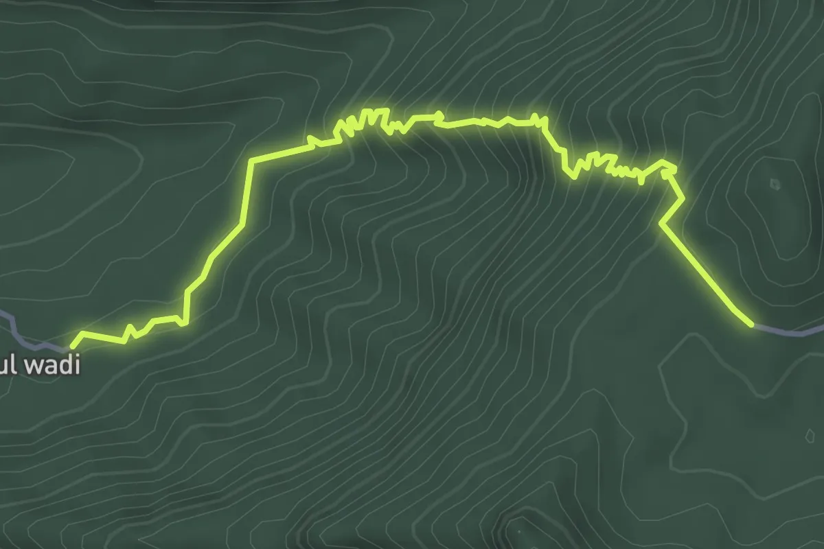
Amboli Khind
6.1 km · ↑ 539 m · 2 h 36 min
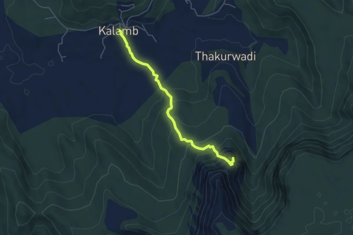
Medium · Trail
Anghai fort
5.7 km · ↑ 524 m · 2 h 29 min
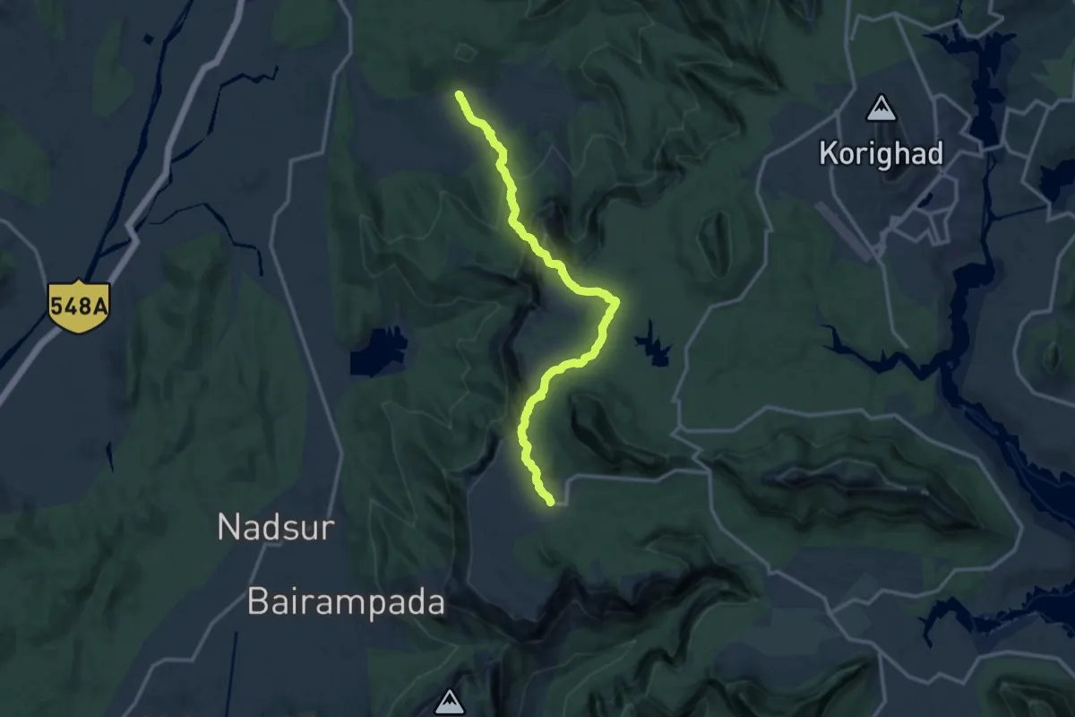
Demanding · Trail
Anghai Fort to Tail Baila
18.0 km · ↑ 693 m · 5 h 45 min
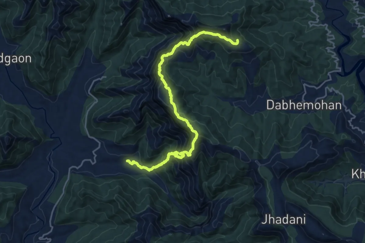
Medium · Trail
Angthesari Top
10.5 km · ↑ 413 m · 3 h 58 min
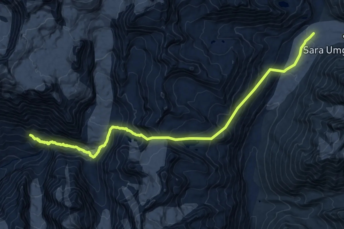
Expert · Trail
Animals Pass
14.2 km · ↑ 939 m · 5 h 47 min
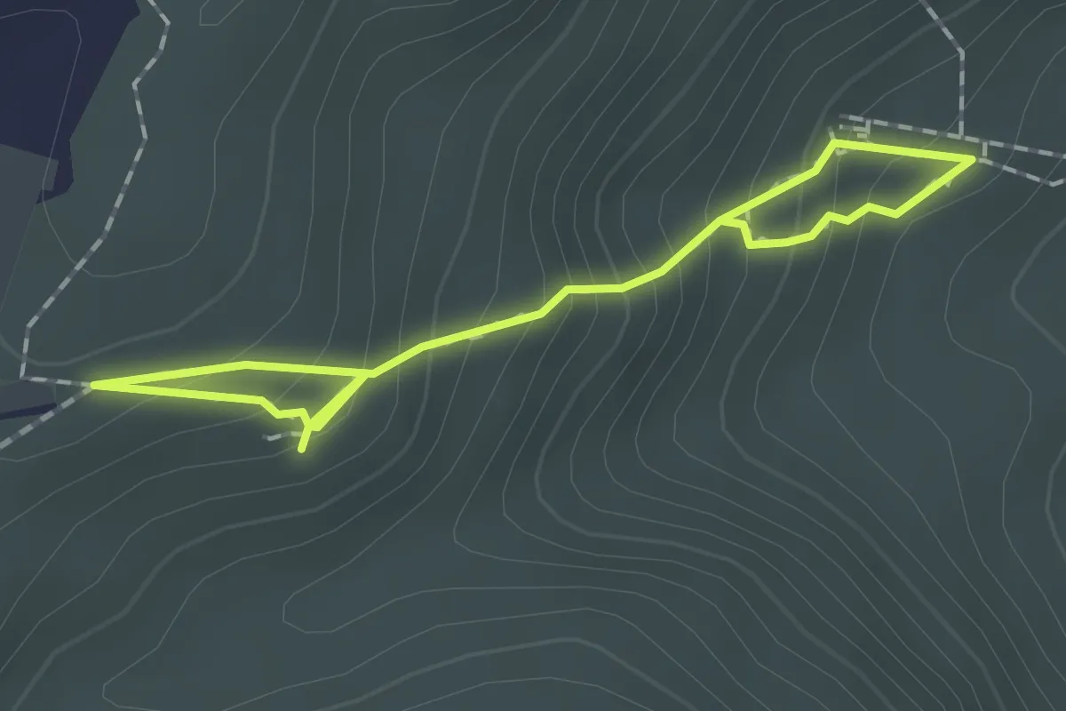
Easy · Trail
Antharagange
2.9 km · ↑ 237 m · 1 h 12 min
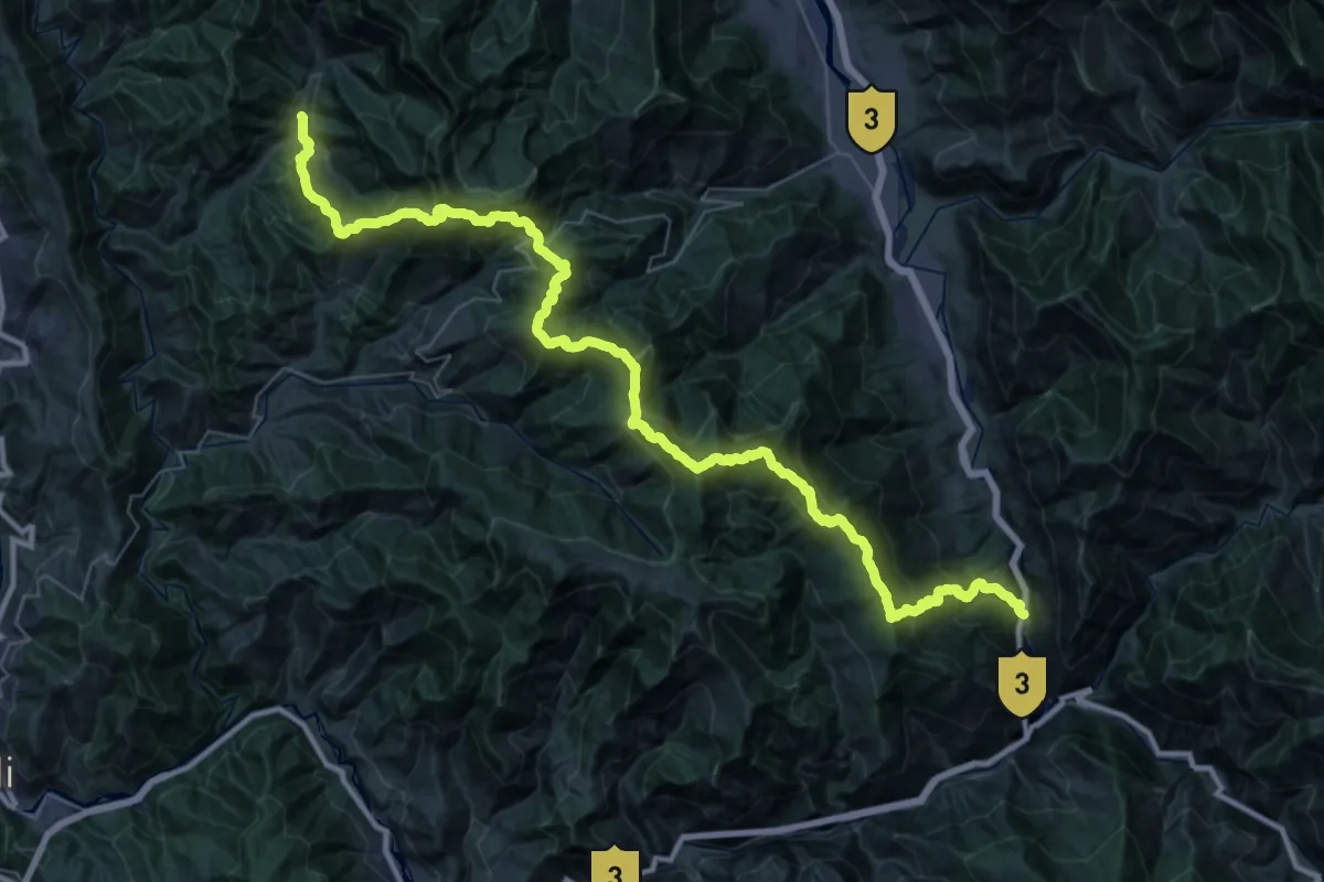
Demanding · Trail
Arang to Aut
32.0 km · ↑ 2846 m · 14 h 24 min
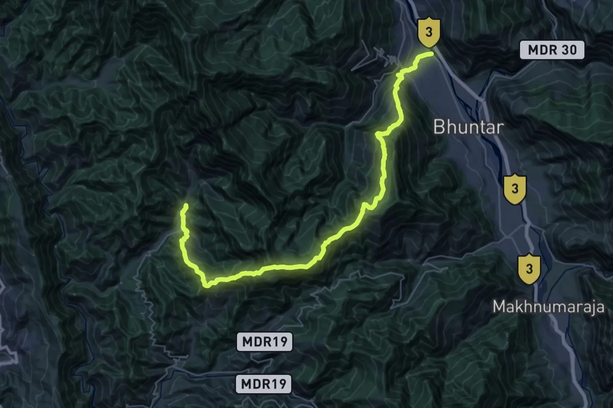
Demanding · Trail
Arang to Mahul
21.4 km · ↑ 1726 m · 9 h 14 min
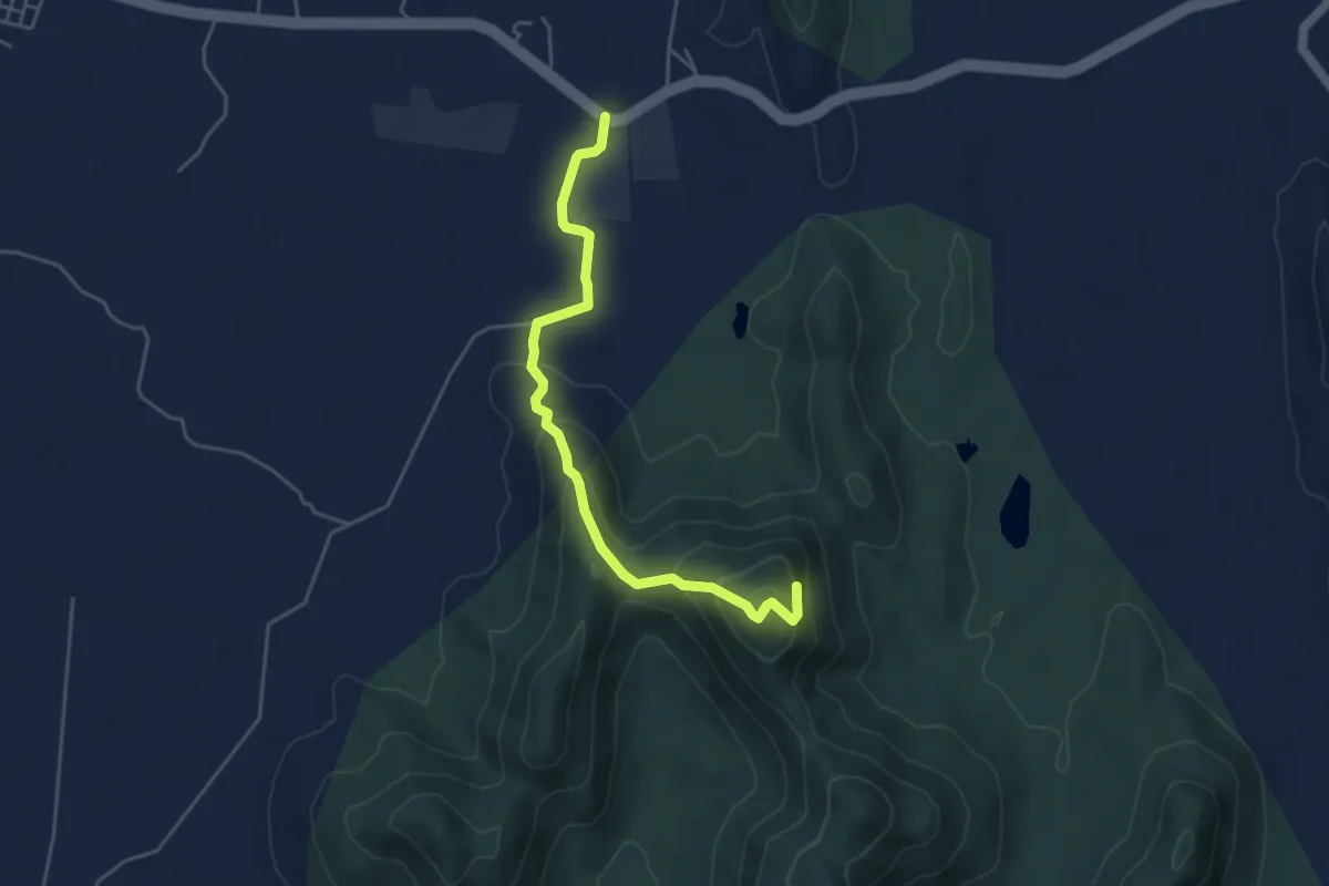
Medium · Trail
Asaavagad Fort
6.5 km · ↑ 381 m · 2 h 21 min
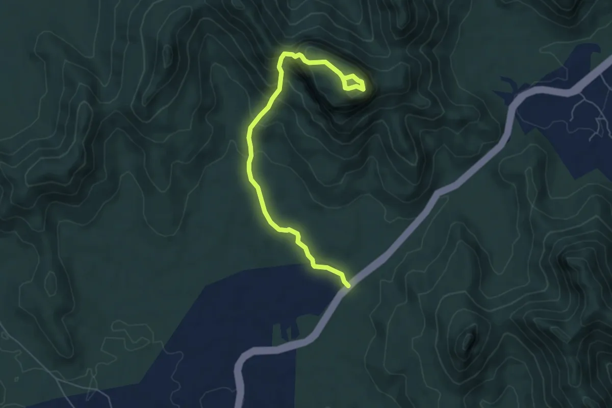
Medium · Trail
Asherigad Fort
8.0 km · ↑ 481 m · 2 h 55 min
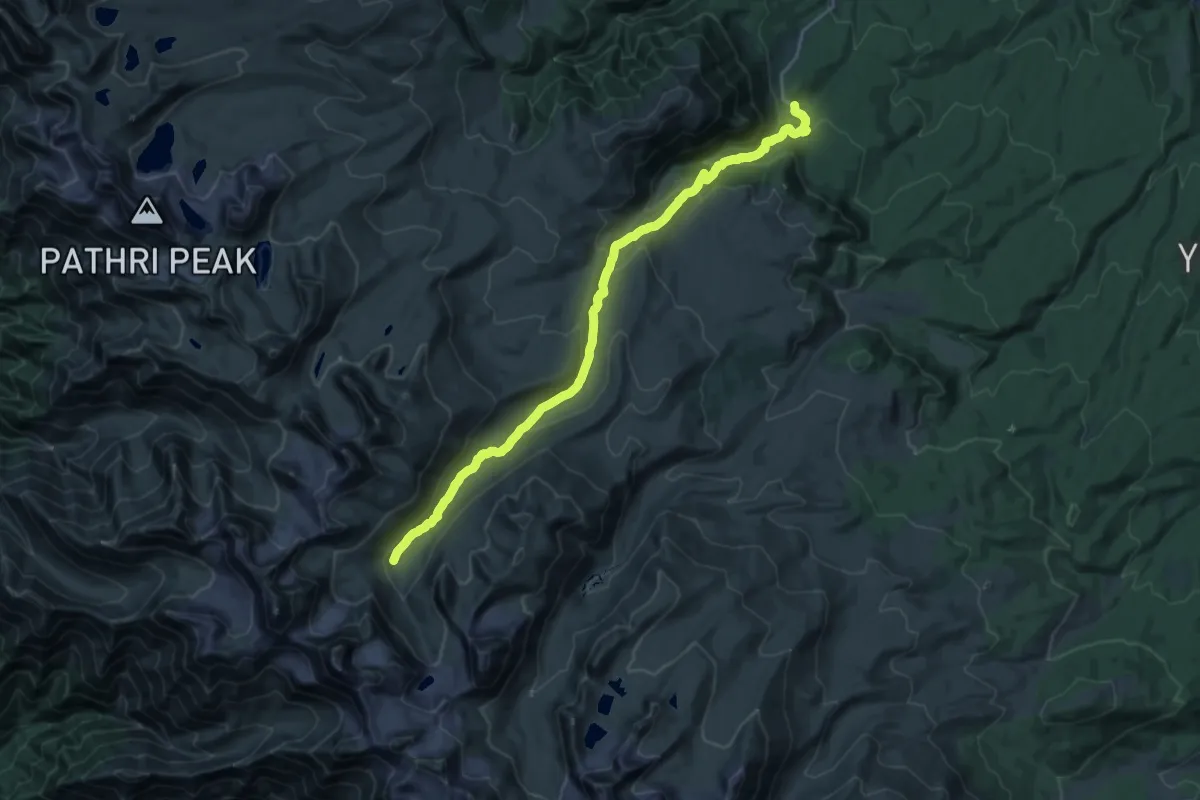
Expert · Trail
Ashtaar valley
14.3 km · ↑ 1108 m · 5 h 29 min
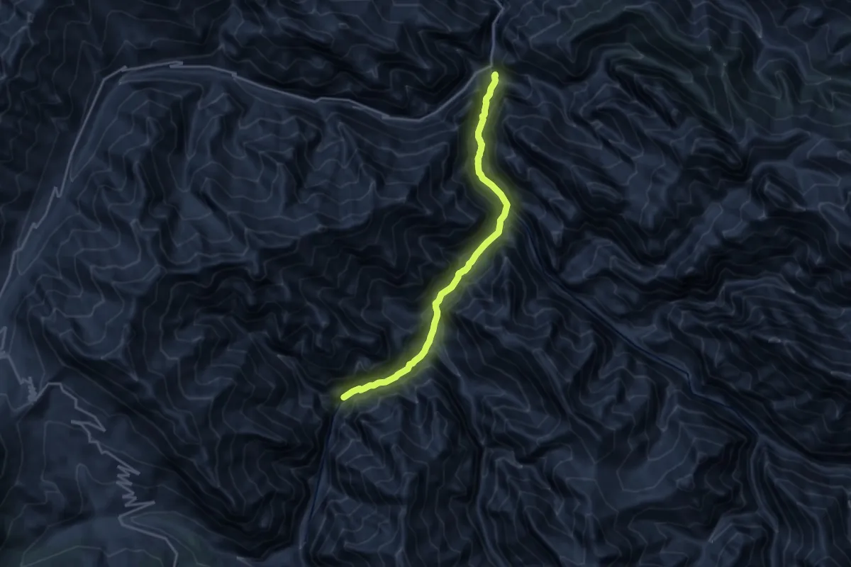
Demanding · Trail
Askuta
9.4 km · ↑ 1233 m · 4 h 53 min
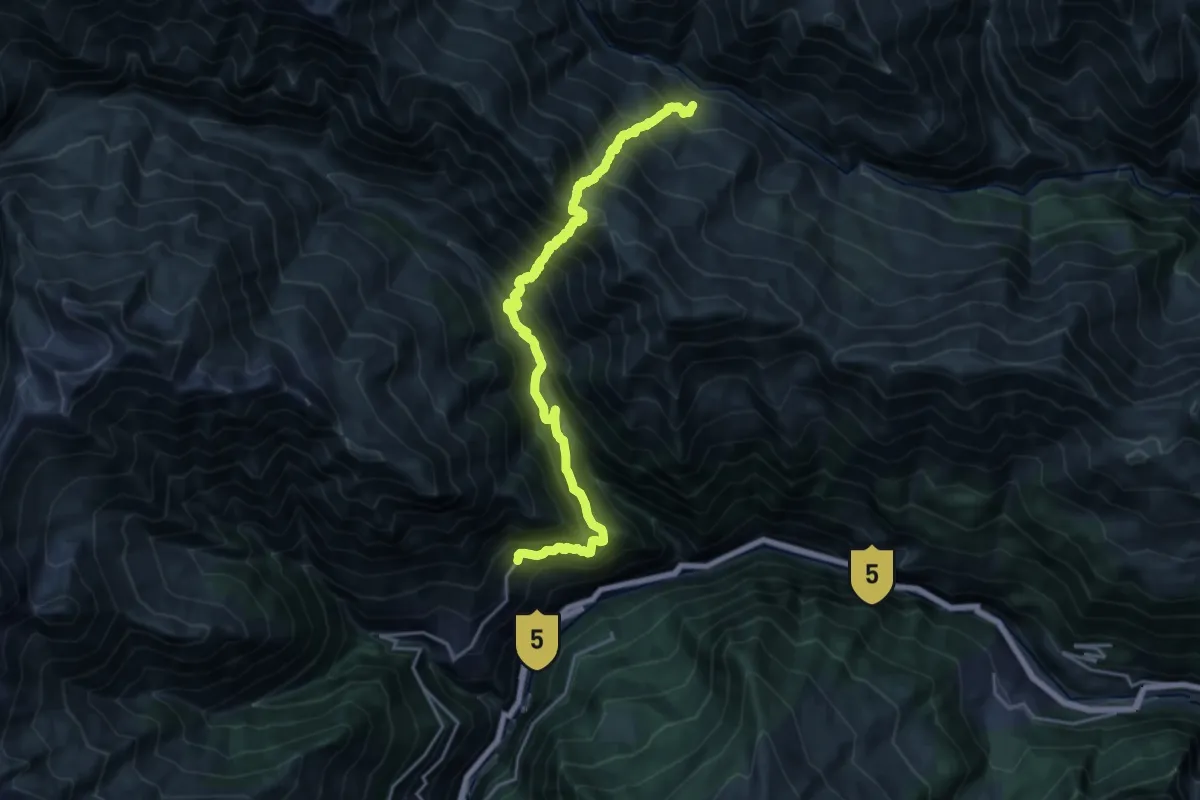
Demanding · Trail
Asrang to Pangi
13.3 km · ↑ 1361 m · 6 h 31 min
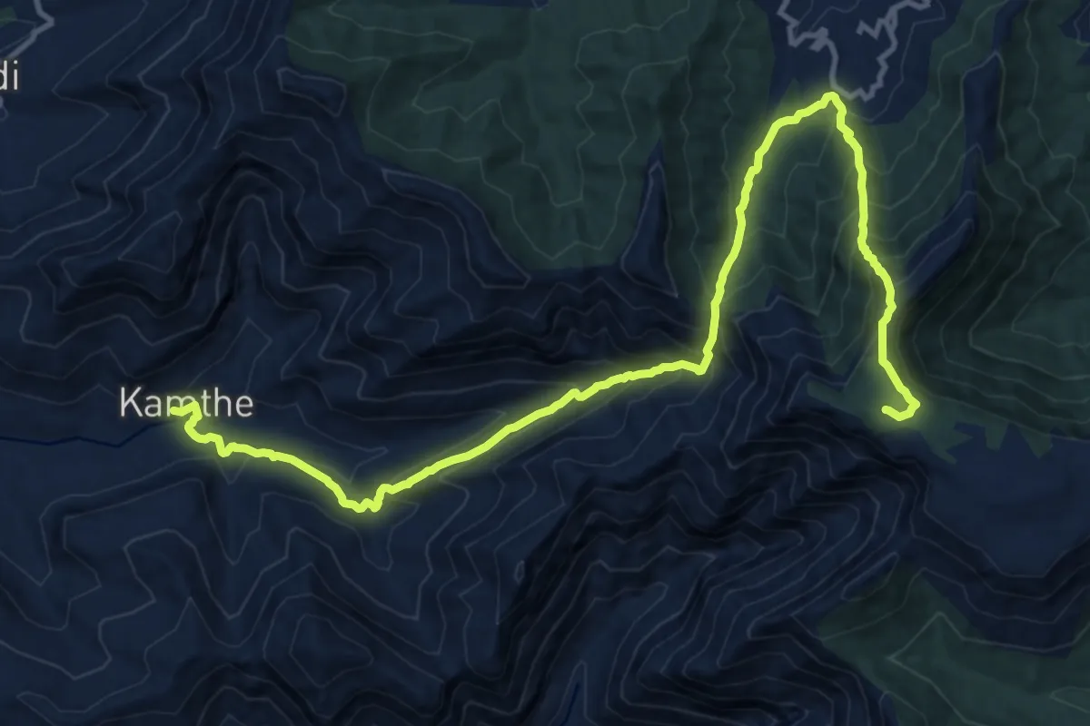
Medium · Trail
Aswal Khind to Kampta
10.5 km · ↑ 244 m · 3 h 43 min
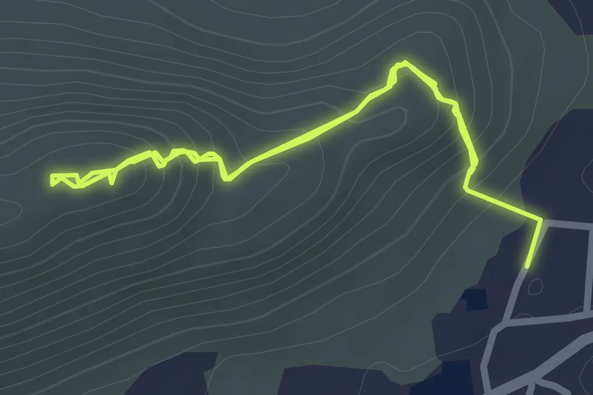
Easy · Trail
Avani Hiking Trail
4.5 km · ↑ 286 m · 1 h 41 min
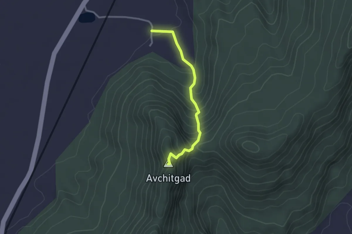
Easy · Summit
Avchitgad
3.1 km · ↑ 267 m · 1 h 19 min
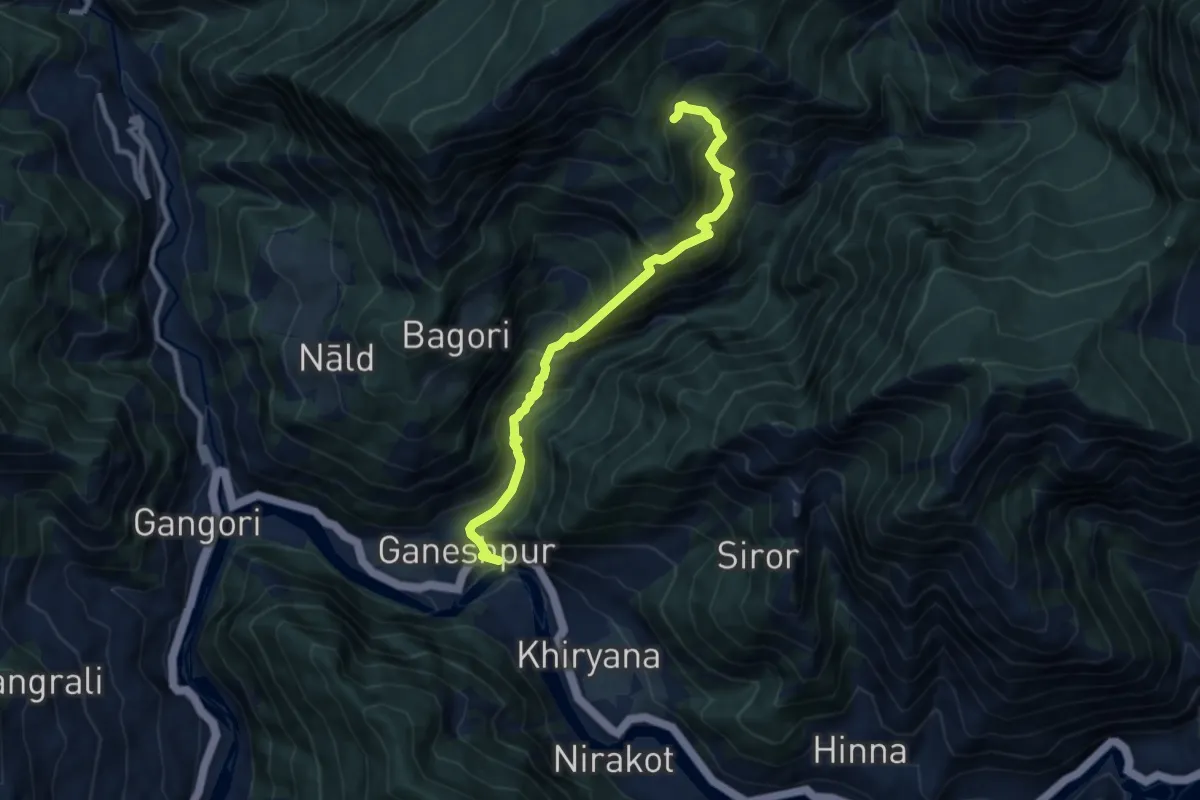
Demanding · Trail
Ayana Devi Temple
10.9 km · ↑ 1746 m · 6 h 21 min
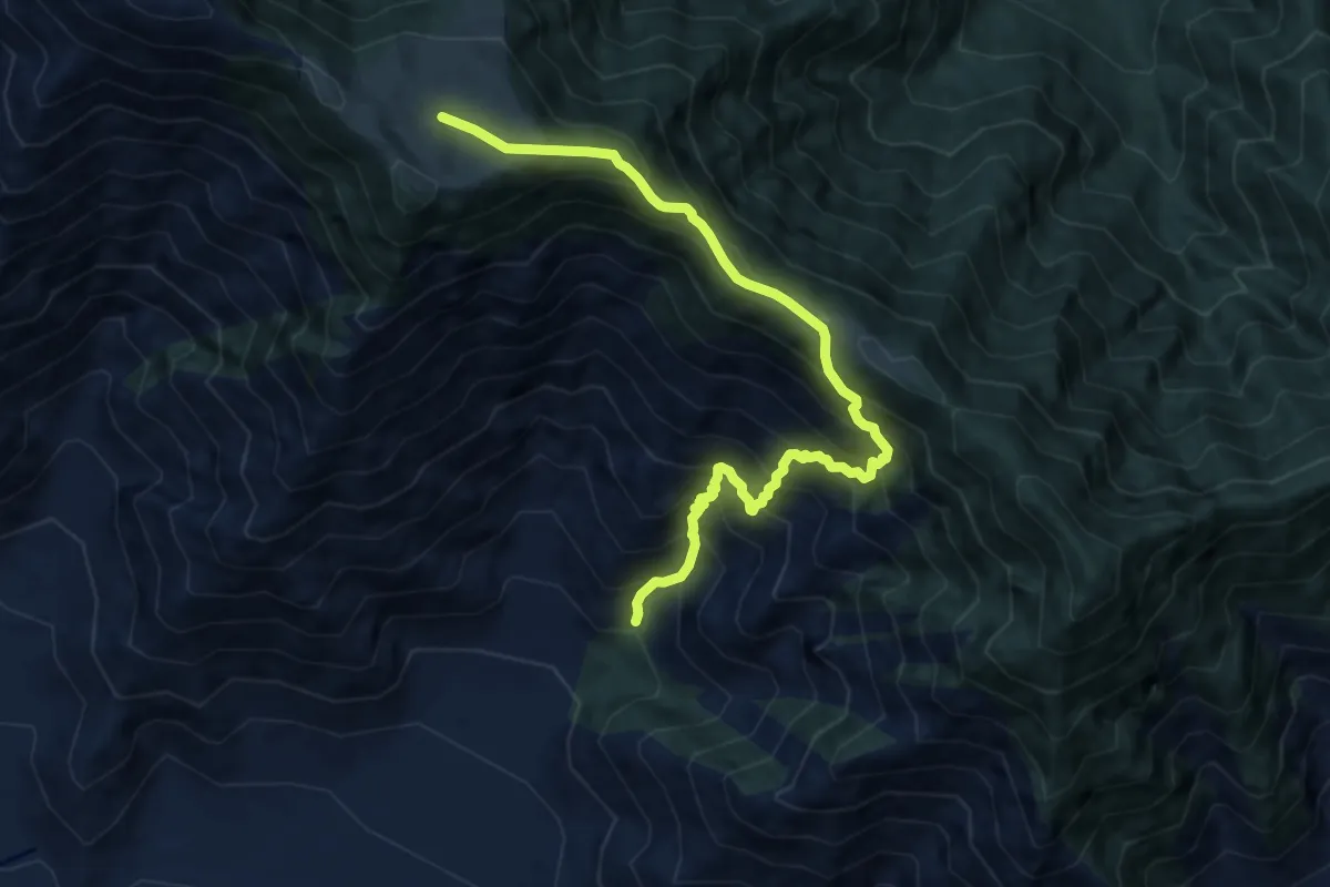
Demanding · Trail
Badimarg
10.9 km · ↑ 1388 m · 5 h 34 min
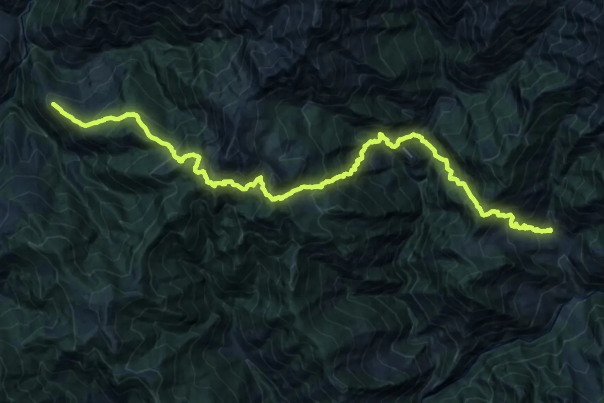
Demanding · Trail
Badiyakot to Himni
18.5 km · ↑ 2578 m · 10 h 2 min
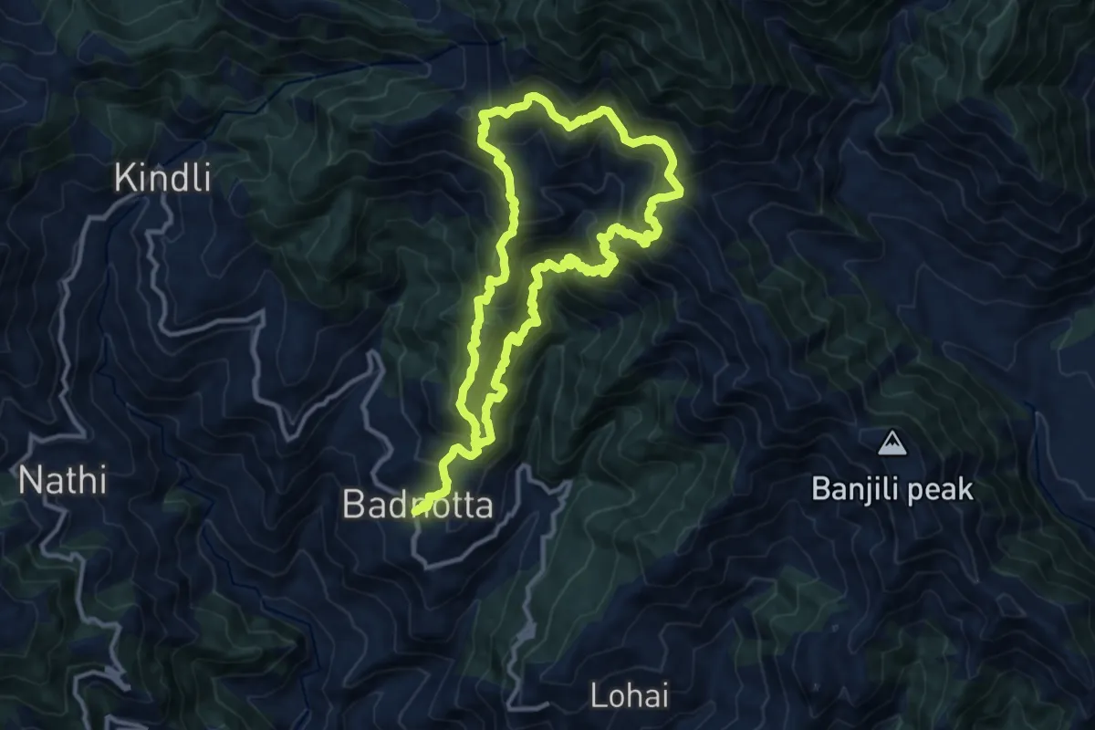
Demanding · Trail
Badnotta circuit
12.5 km · ↑ 1324 m · 5 h 54 min
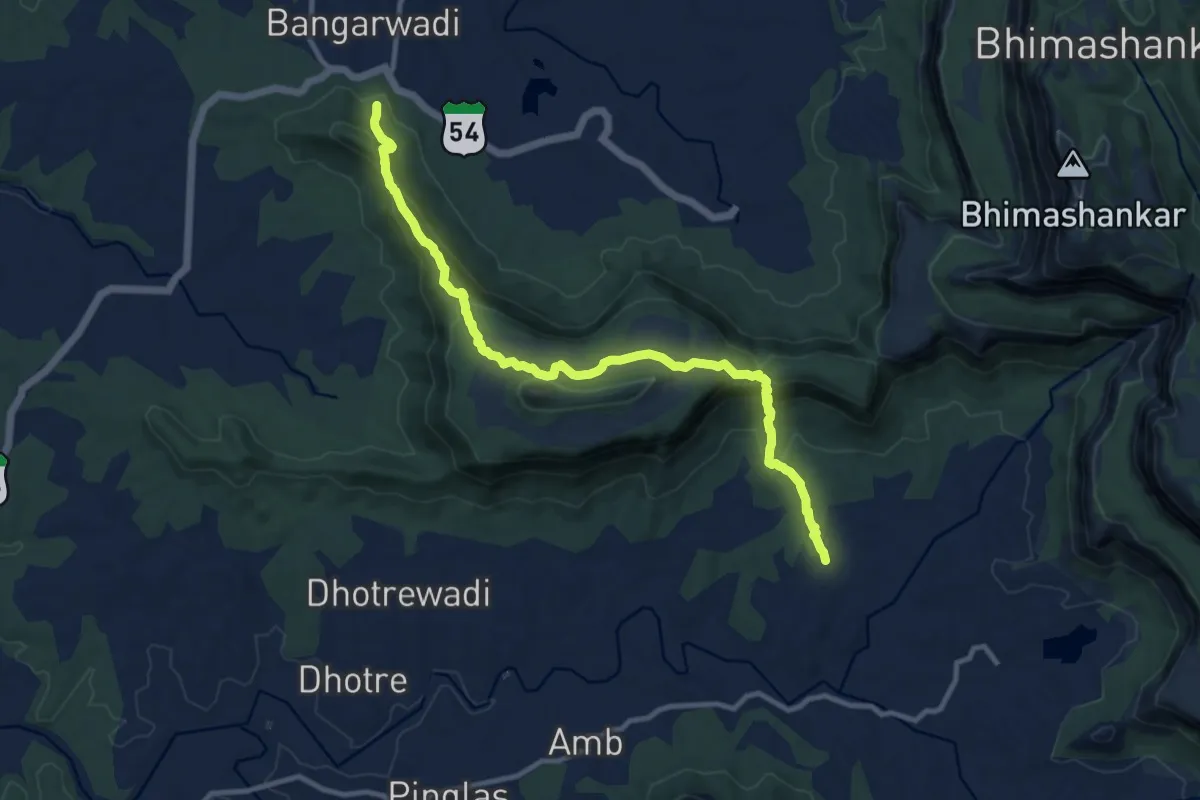
Medium · Trail
Bagadwadi to Rajpe
16.0 km · ↑ 722 m · 5 h 21 min
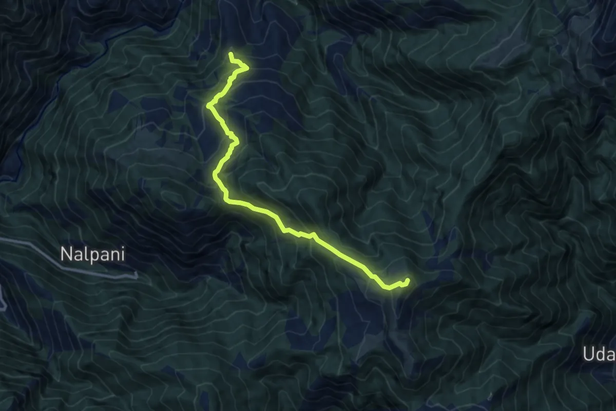
Demanding · Trail
Bagji Bugyal
12.2 km · ↑ 1135 m · 5 h 21 min
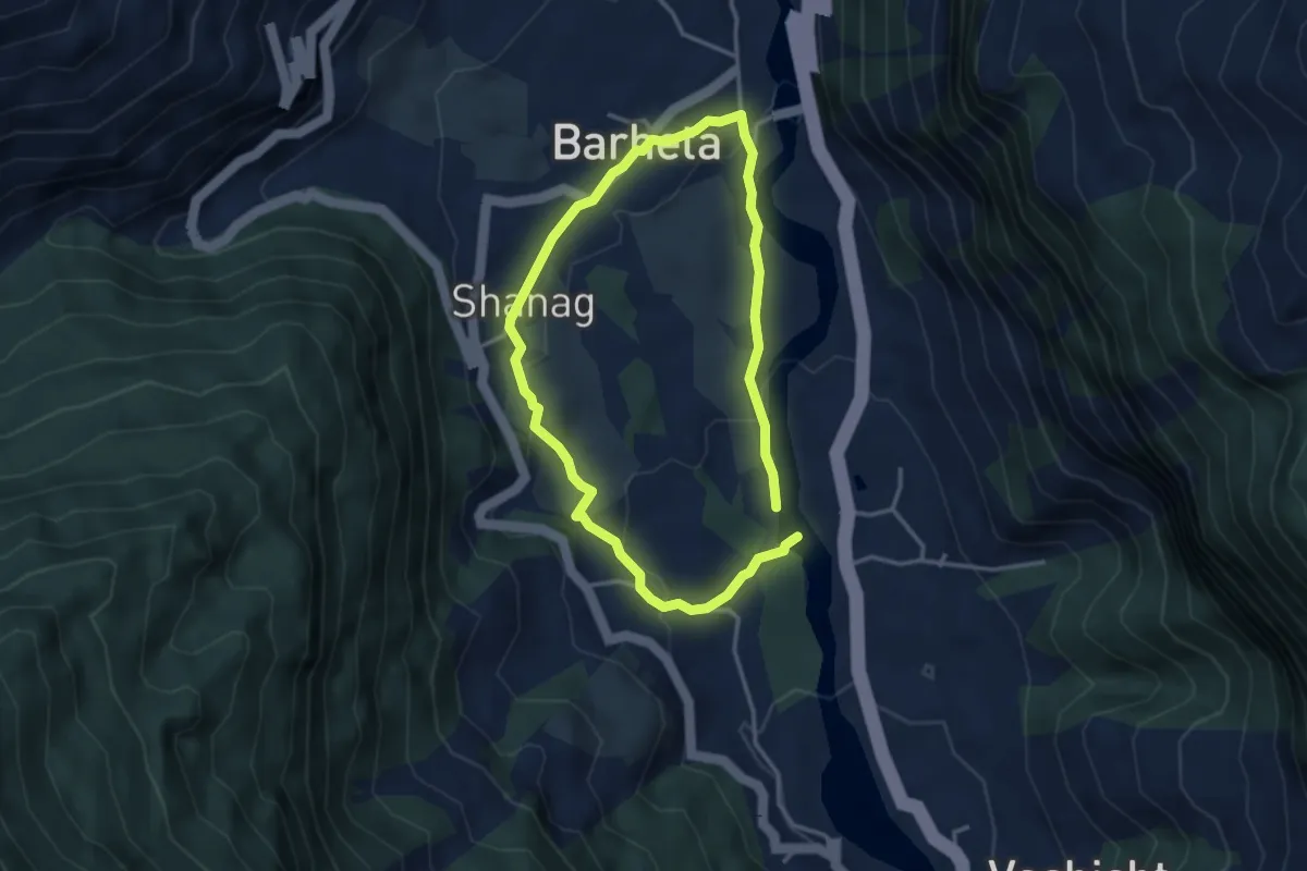
Easy · Trail
Bahang - Shanag - Goshal
3.6 km · ↑ 98 m · 1 h 7 min
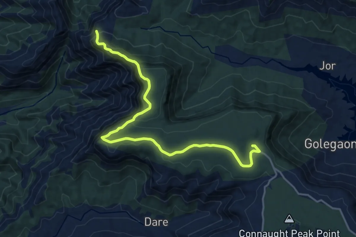
Medium · Trail
Bahirichi Ghumati to Mahabaleshwar
17.6 km · ↑ 639 m · 5 h 32 min
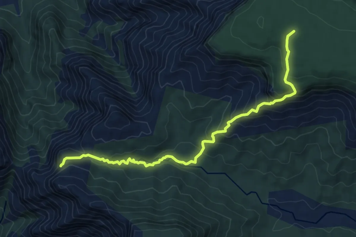
Medium · Trail
Bahirichi to Koleshwar
10.3 km · ↑ 645 m · 3 h 49 min
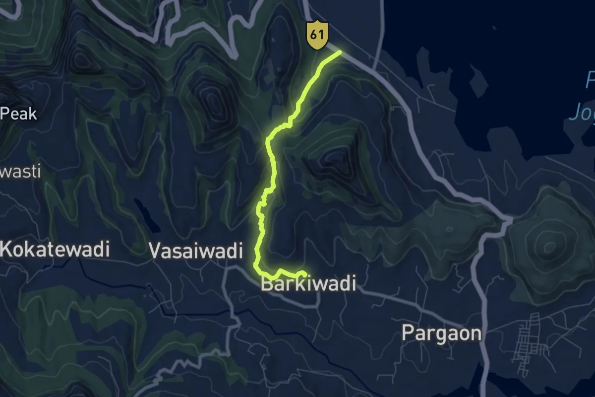
Medium · Trail
Bail Ghat
8.1 km · ↑ 313 m · 2 h 36 min
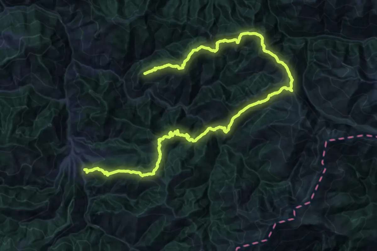
Demanding · Trail
Baleesa to Chilli
39.4 km · ↑ 4511 m · 19 h 24 min
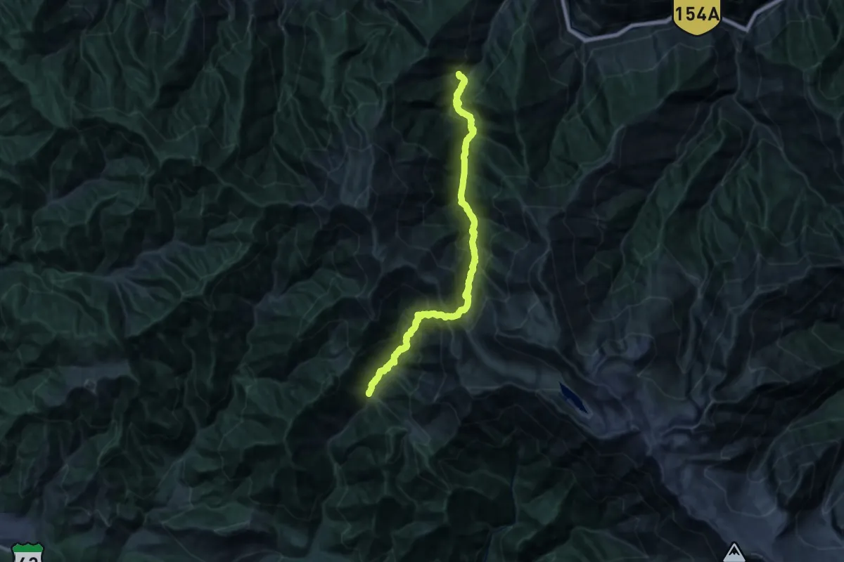
Expert · Trail
Baleni Pass
16.1 km · ↑ 1907 m · 8 h 25 min
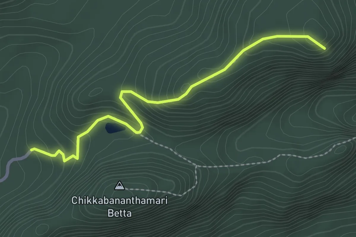
Medium · Trail
Bananthimari Betta
3.5 km · ↑ 222 m · 1 h 18 min
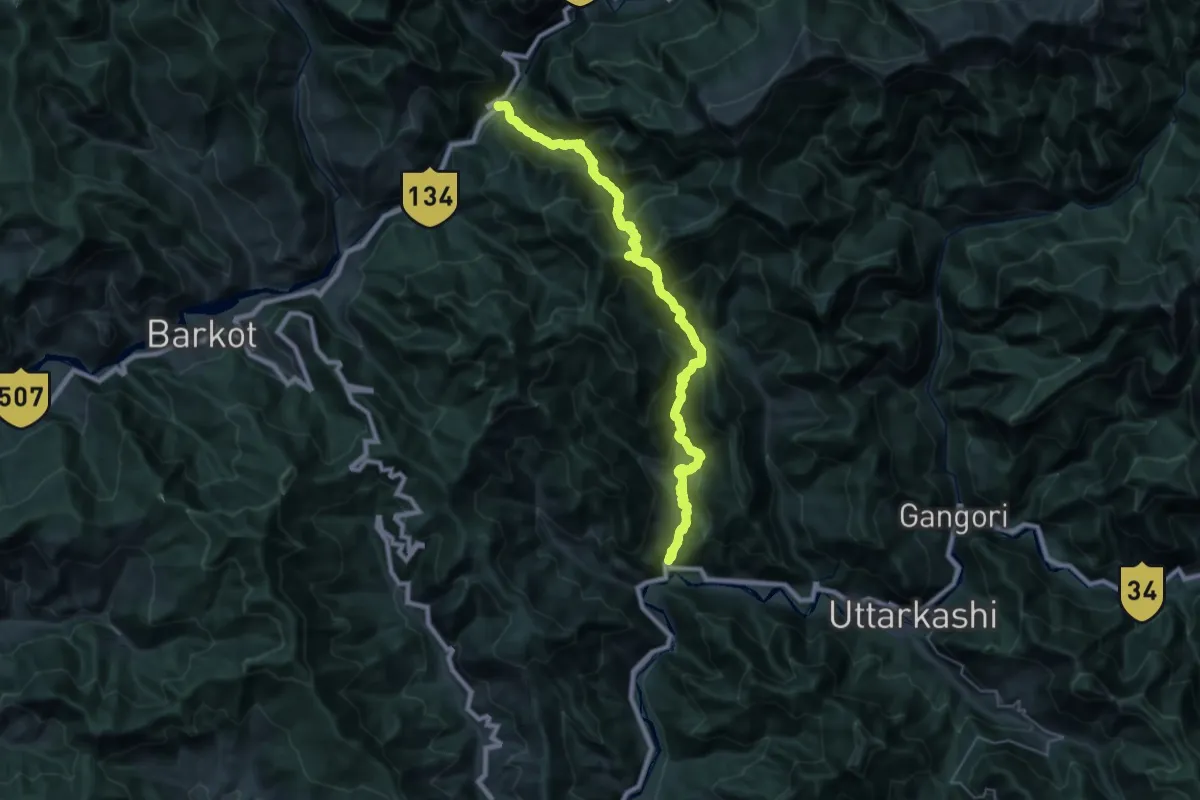
Demanding · Trail
Bandarkot to Kutnaur
24.1 km · ↑ 2243 m · 10 h 41 min
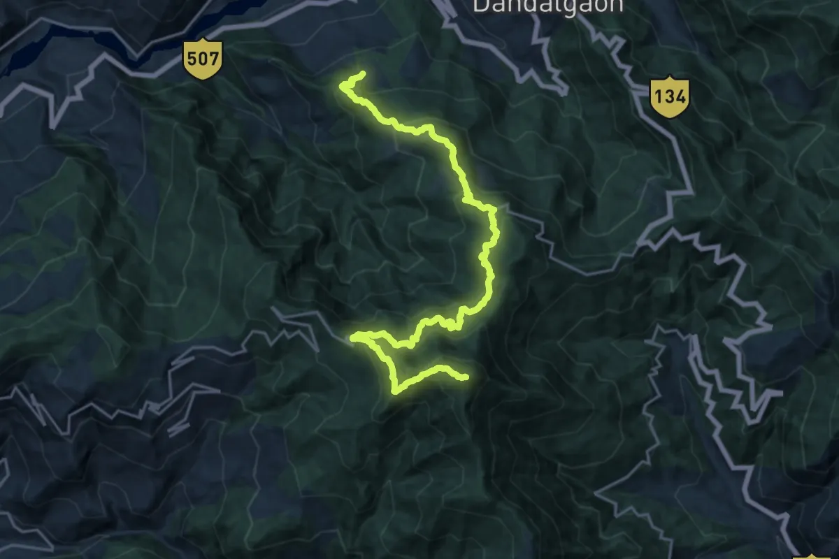
Demanding · Summit
Bandgaon to Barkot
24.8 km · ↑ 1987 m · 10 h 9 min
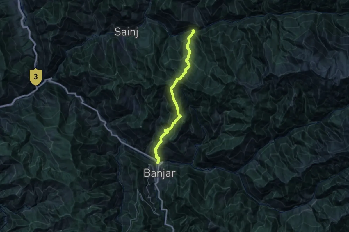
Demanding · Trail
Banjar to Neuli
18.1 km · ↑ 2326 m · 9 h 24 min
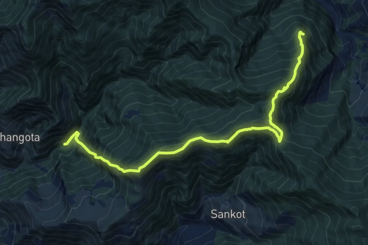
Demanding · Trail
Banjbagar to Bhangota
9.8 km · ↑ 814 m · 4 h 34 min
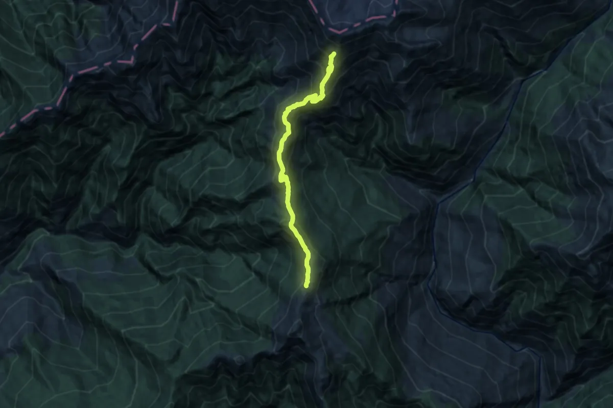
Demanding · Trail
Baraadsar Lake
15.5 km · ↑ 1473 m · 6 h 51 min
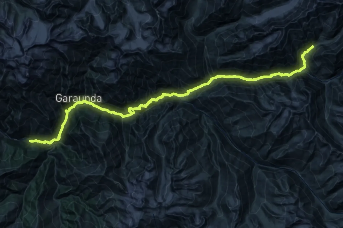
Expert · Trail
Bara Bhanghal
38.8 km · ↑ 5131 m · 20 h 1 min
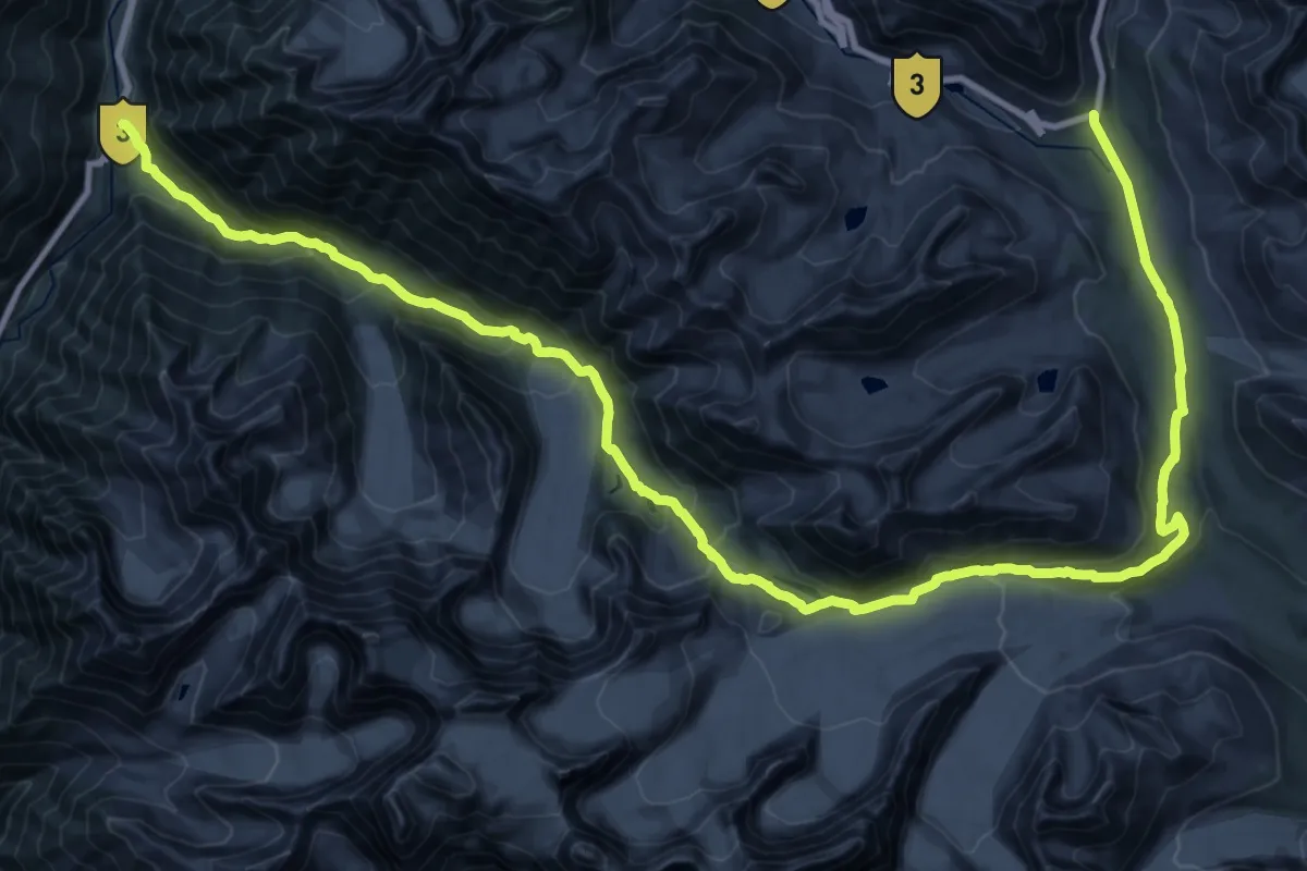
Demanding · Trail
Baralacha la to Patseo
28.5 km · ↑ 545 m · 8 h 53 min