Trails in India
1,049 hiking trails, each with its route, climb, walking time and grade.
All trails, page 21 of 22
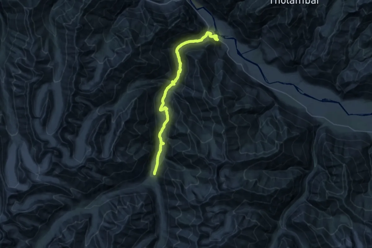
Demanding · Trail
Tia La base
20.4 km · ↑ 629 m · 6 h 55 min
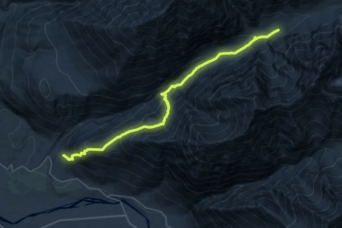
Demanding · Trail
Tirit Phu
11.8 km · ↑ 1606 m · 5 h 49 min
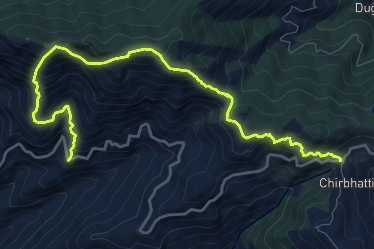
Demanding · Trail
Tityuna to Chirpatya Khal
11.4 km · ↑ 1489 m · 5 h 55 min
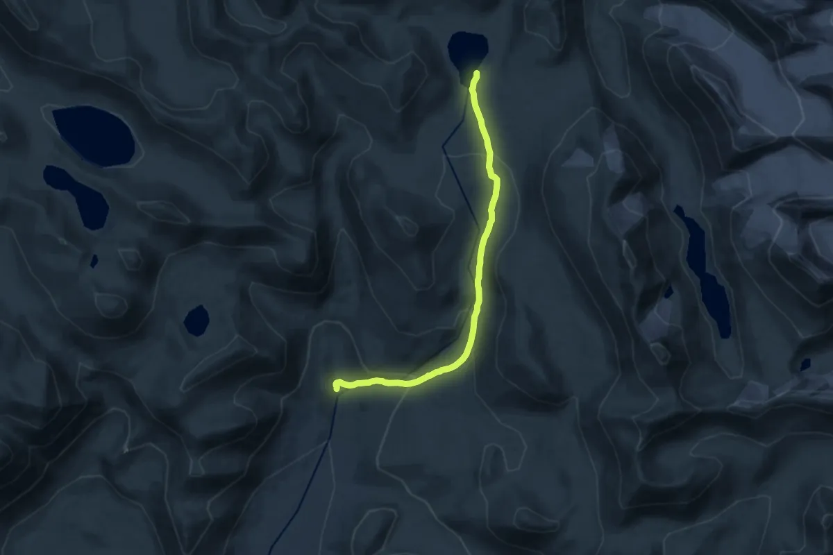
Medium · Trail
Togusiru Tso
15.3 km · ↑ 559 m · 4 h 49 min
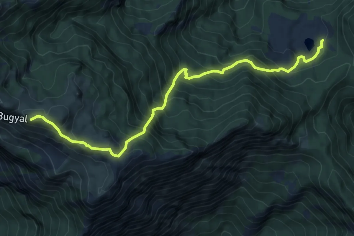
Demanding · Trail
Toli Tal to Nayol Panga
9.6 km · ↑ 1054 m · 4 h 33 min
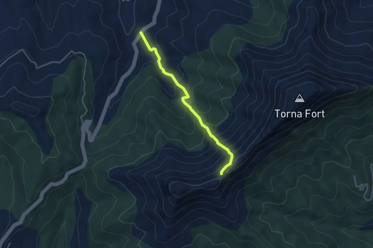
Medium · Trail
Torna Fort
4.2 km · ↑ 494 m · 2 h 3 min
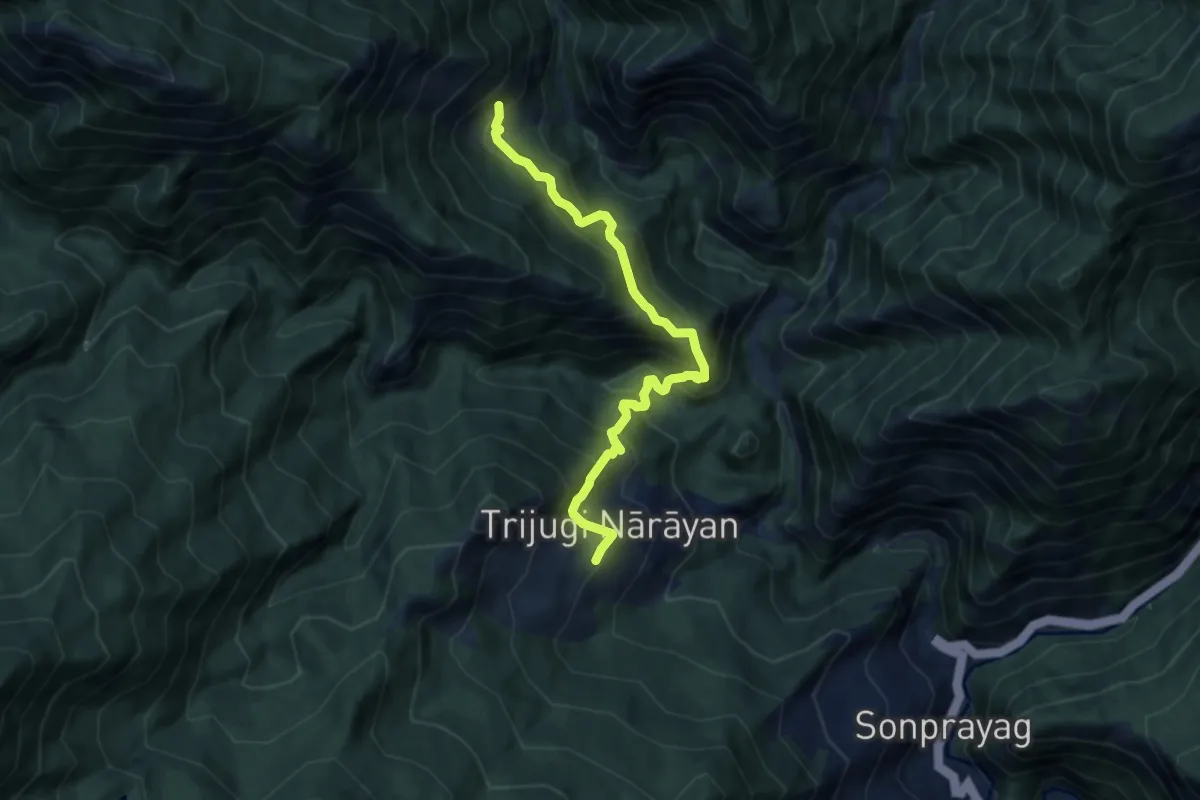
Demanding · Trail
Toshi
8.8 km · ↑ 1023 m · 4 h 18 min
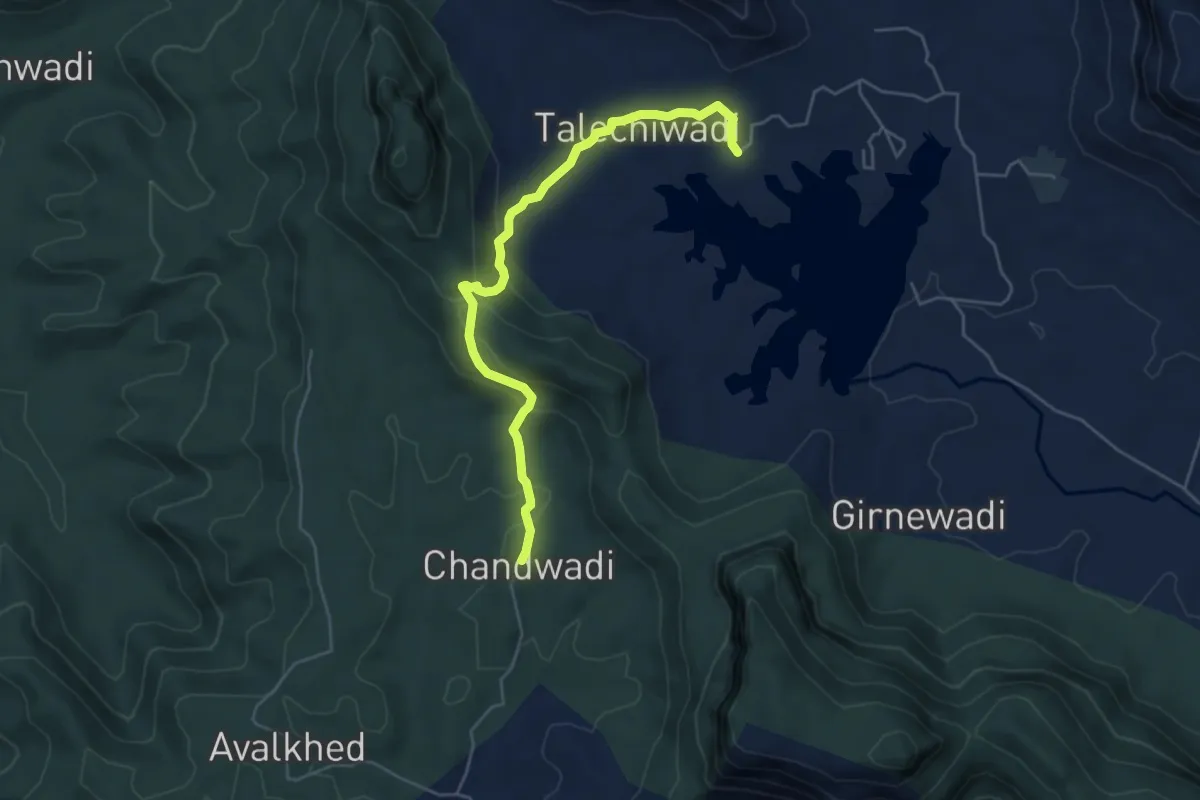
Easy · Trail
Tringalwadi Fort
6.9 km · ↑ 280 m · 2 h 15 min
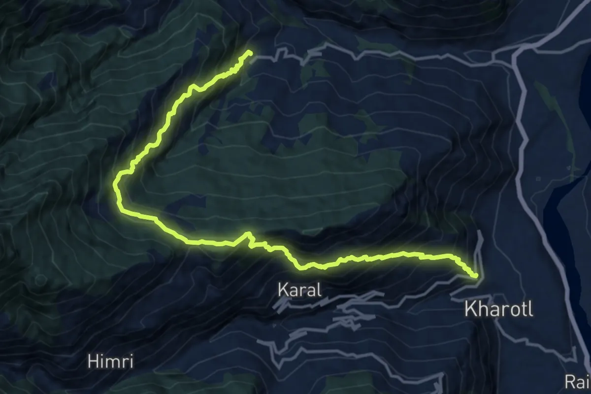
Demanding · Trail
Trisri to Phojal
8.9 km · ↑ 1106 m · 4 h 33 min
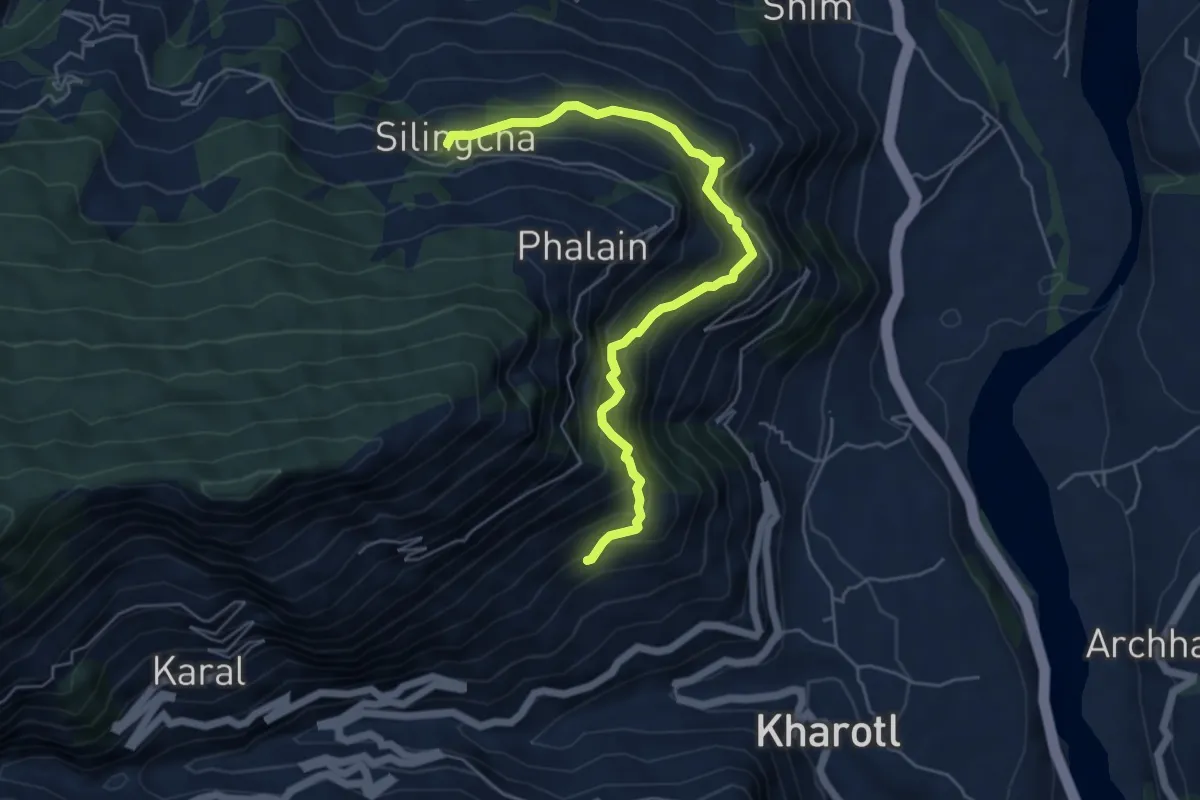
Medium · Trail
Trisri to Silingcha
7.1 km · ↑ 663 m · 3 h 6 min
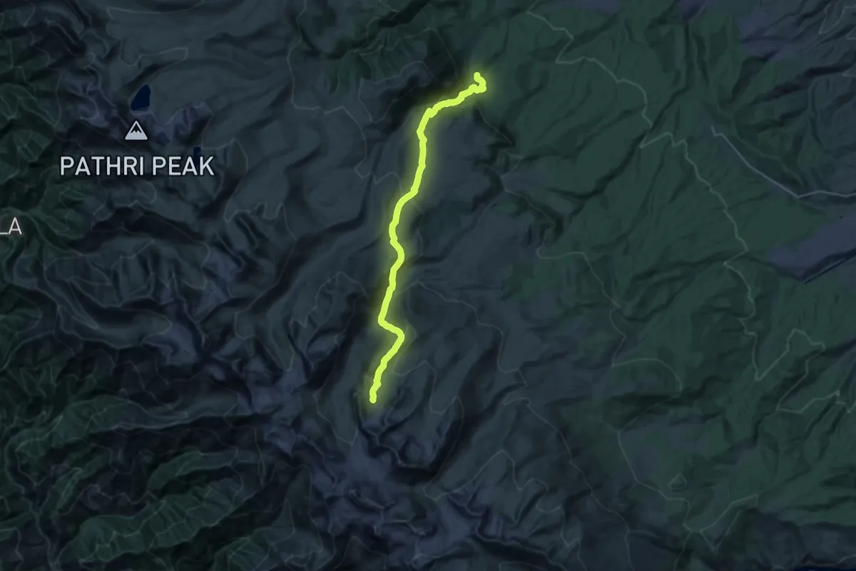
Demanding · Trail
Trusar
16.3 km · ↑ 1607 m · 6 h 54 min
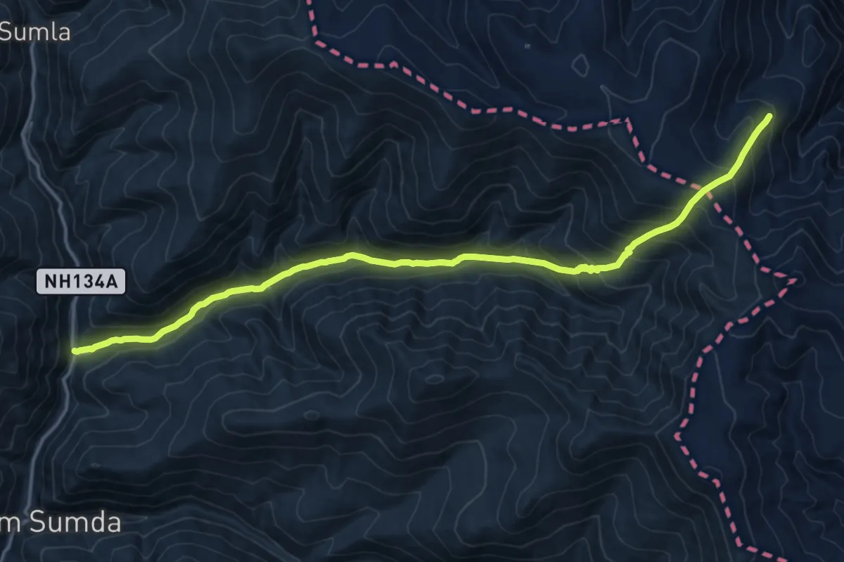
Demanding · Trail
Tsang Chok La
21.4 km · ↑ 1339 m · 7 h 57 min
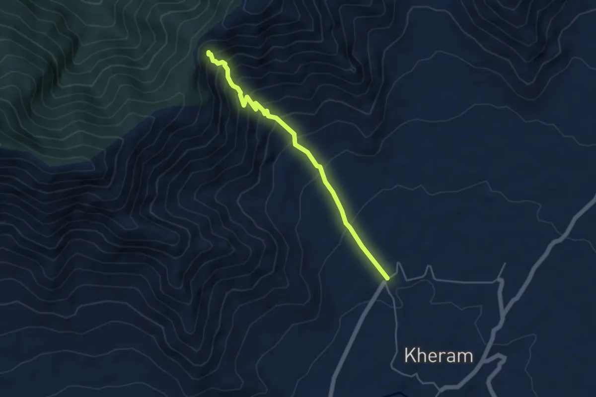
Medium · Trail
Tserasangar Bal
5.0 km · ↑ 505 m · 2 h 16 min
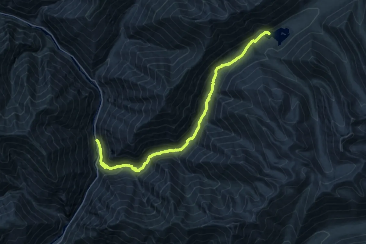
Demanding · Trail
Tsoltak Tso
14.0 km · ↑ 1321 m · 5 h 49 min
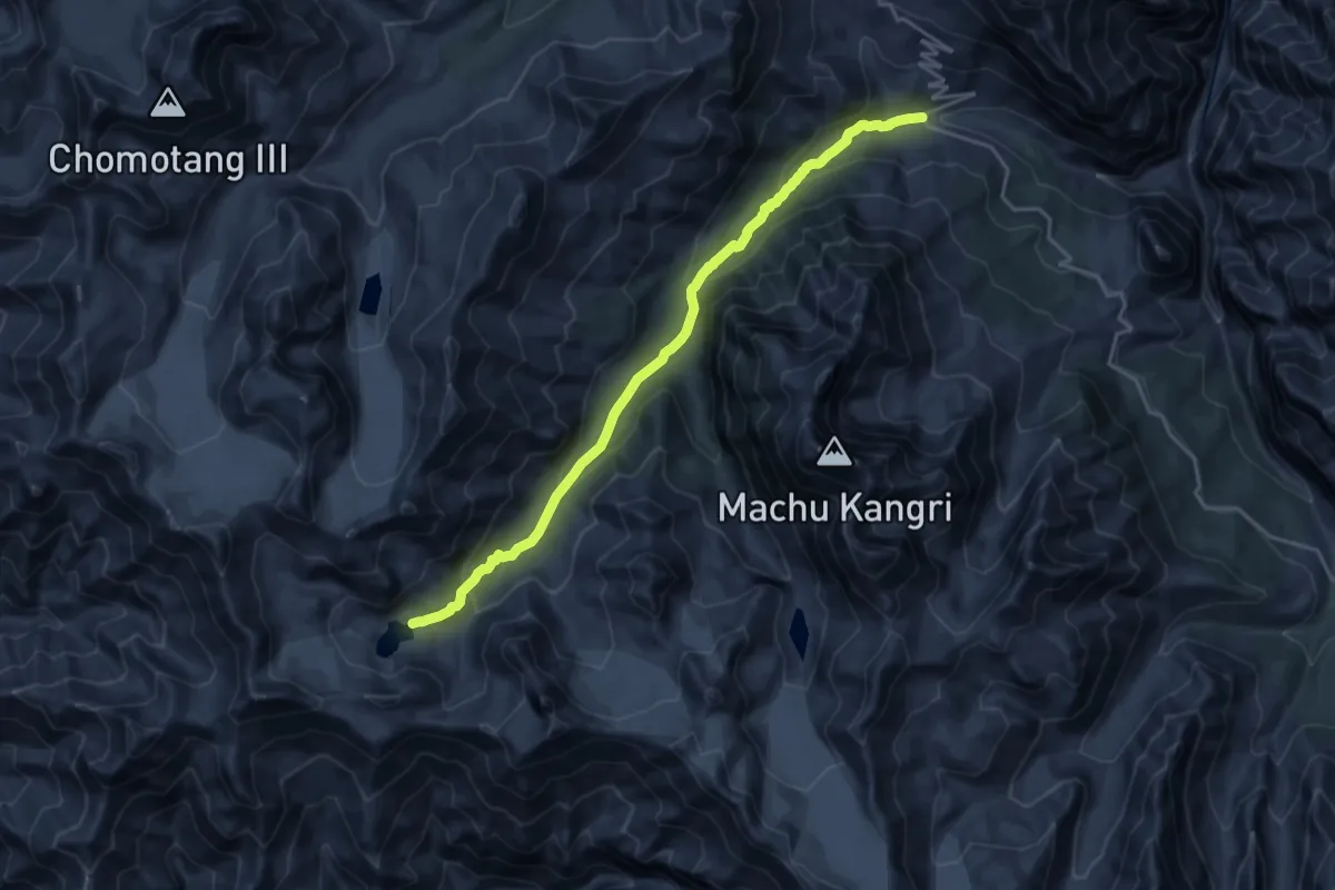
Demanding · Trail
Tso Marpo
23.6 km · ↑ 929 m · 7 h 35 min
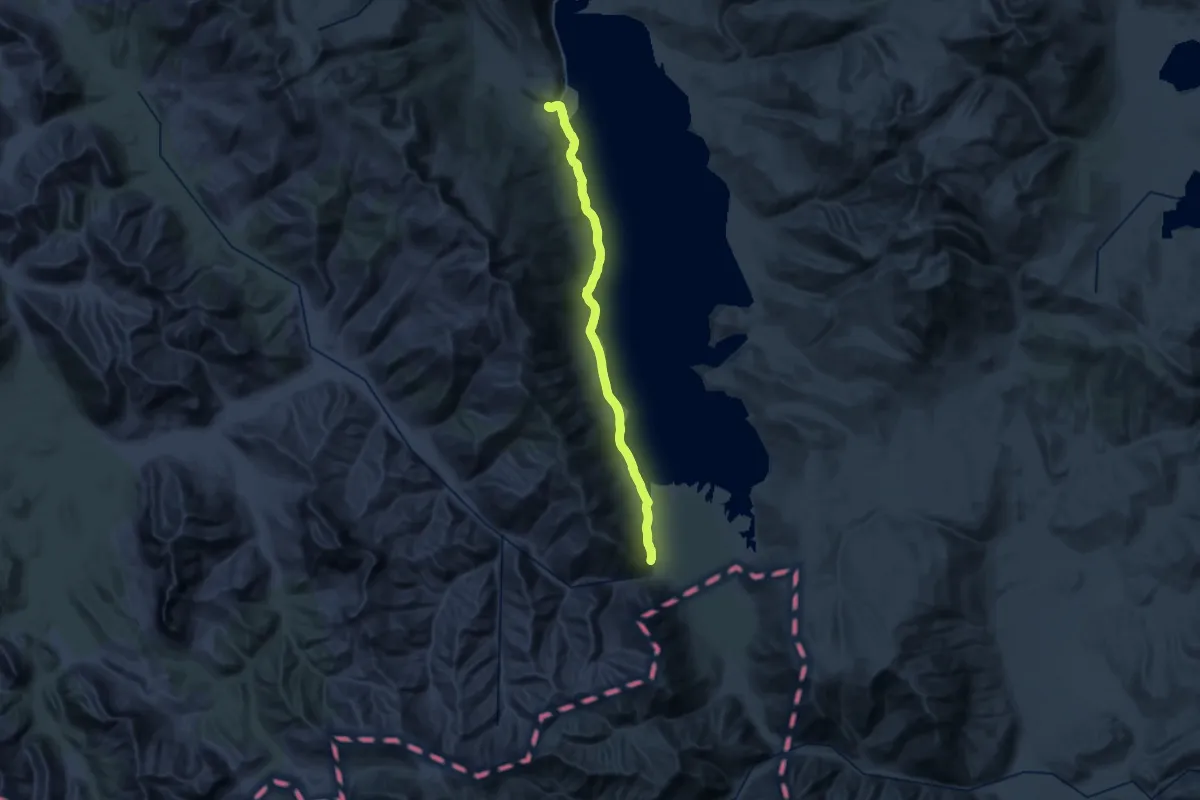
Demanding · Trail
Tso Miori
25.1 km · ↑ 256 m · 6 h 48 min
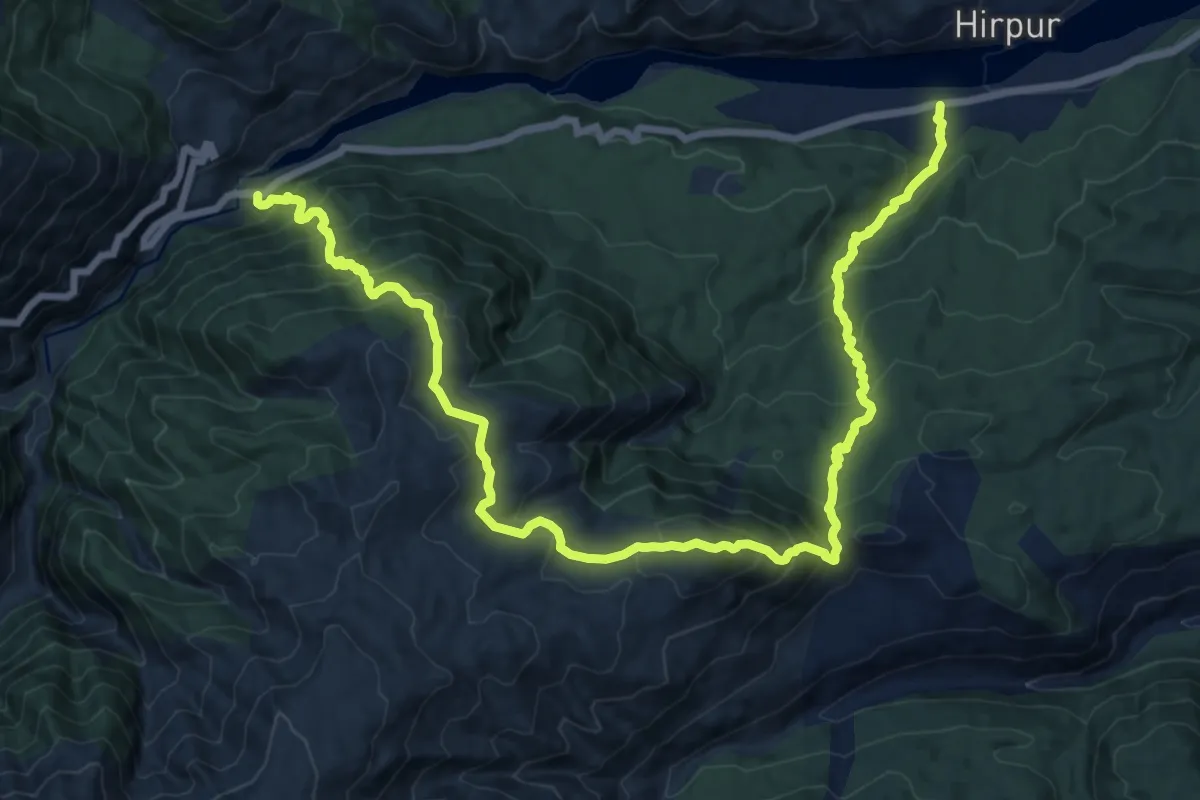
Demanding · Trail
Tsurugul pass (chor gali) and rainier meadow
12.4 km · ↑ 1071 m · 5 h 20 min
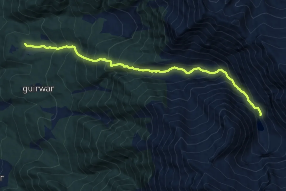
Demanding · Trail
Tuliyan lake
13.8 km · ↑ 1343 m · 6 h 10 min
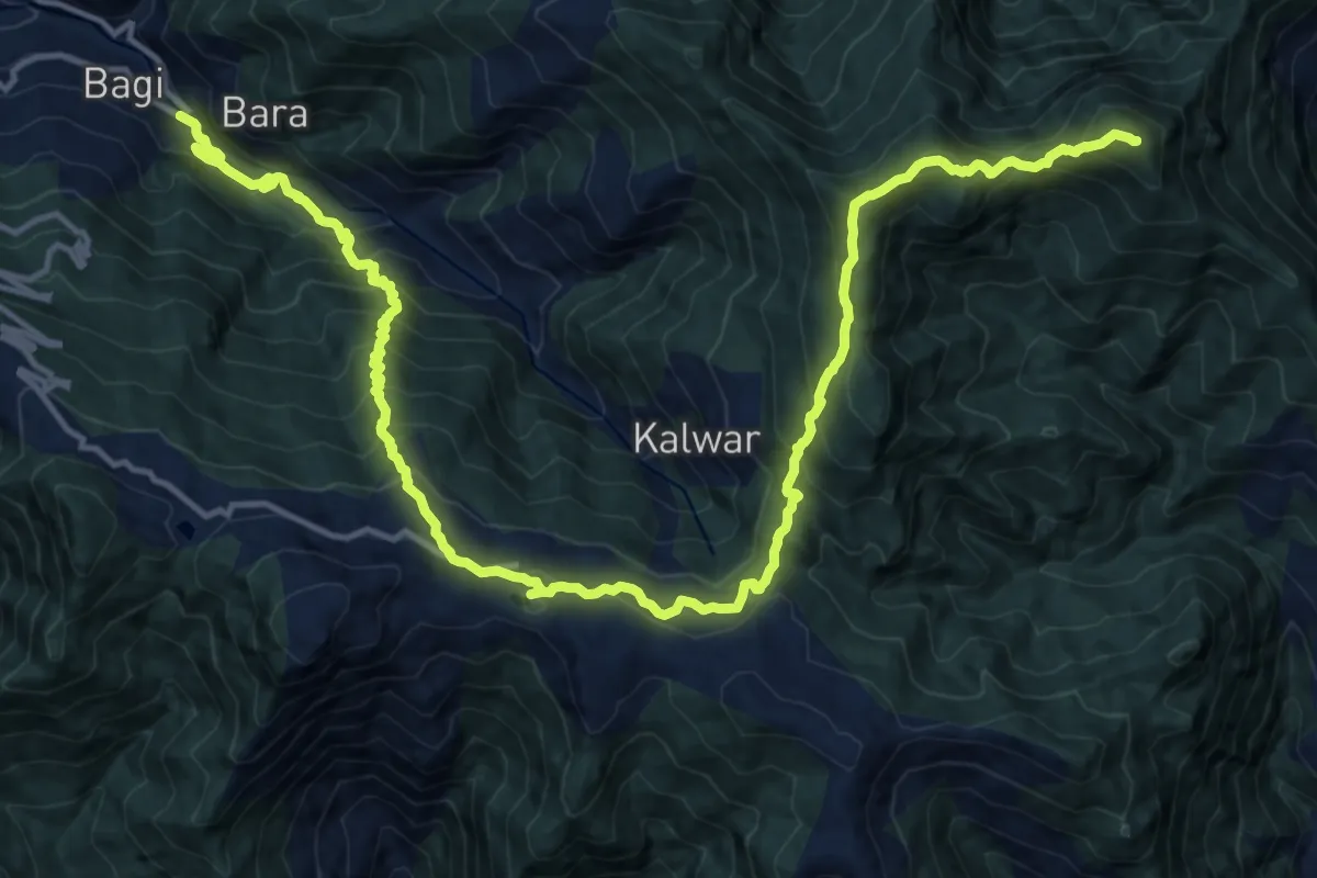
Demanding · Trail
Tunga Mata
11.8 km · ↑ 1699 m · 5 h 57 min
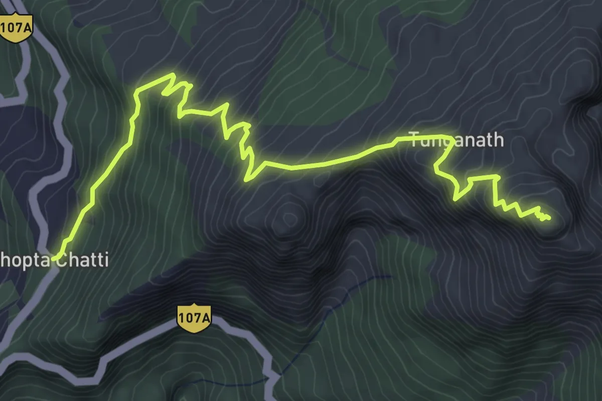
Demanding · Trail
Tunganath
8.1 km · ↑ 870 m · 3 h 47 min
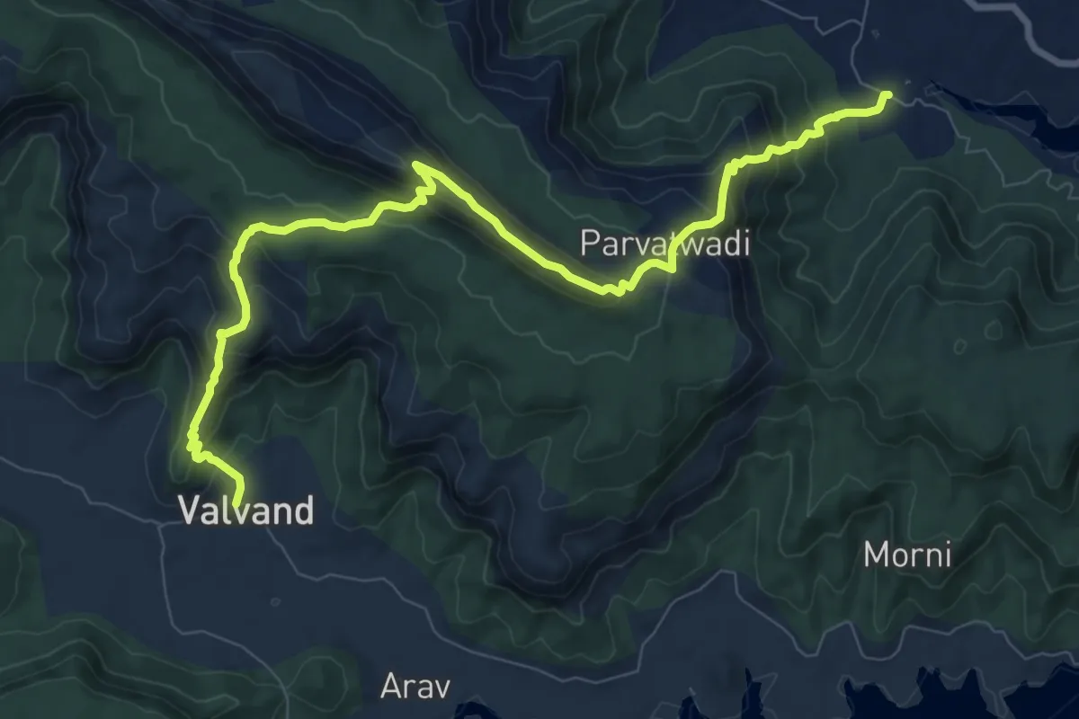
Demanding · Trail
Uchat to Valvand via Parvat
13.8 km · ↑ 980 m · 5 h 23 min
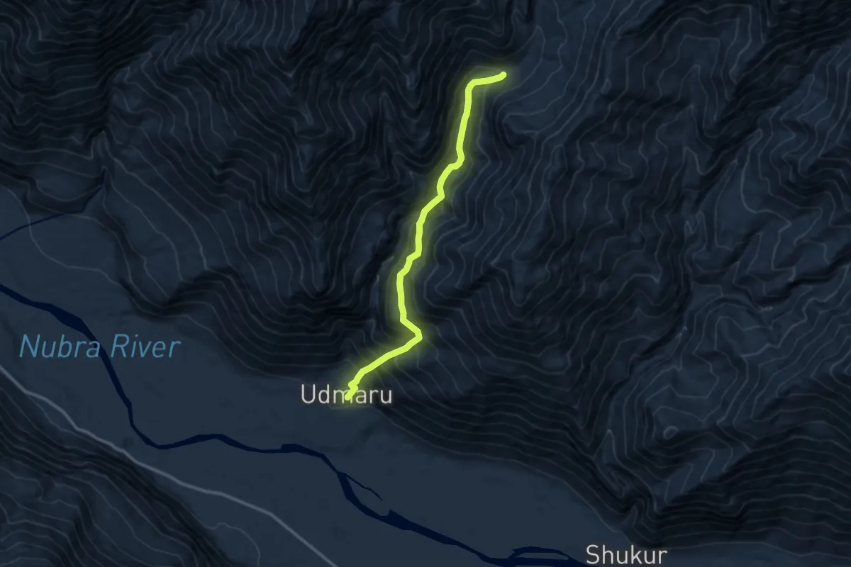
Demanding · Trail
Udmebrok Nala
11.5 km · ↑ 1467 m · 5 h 54 min
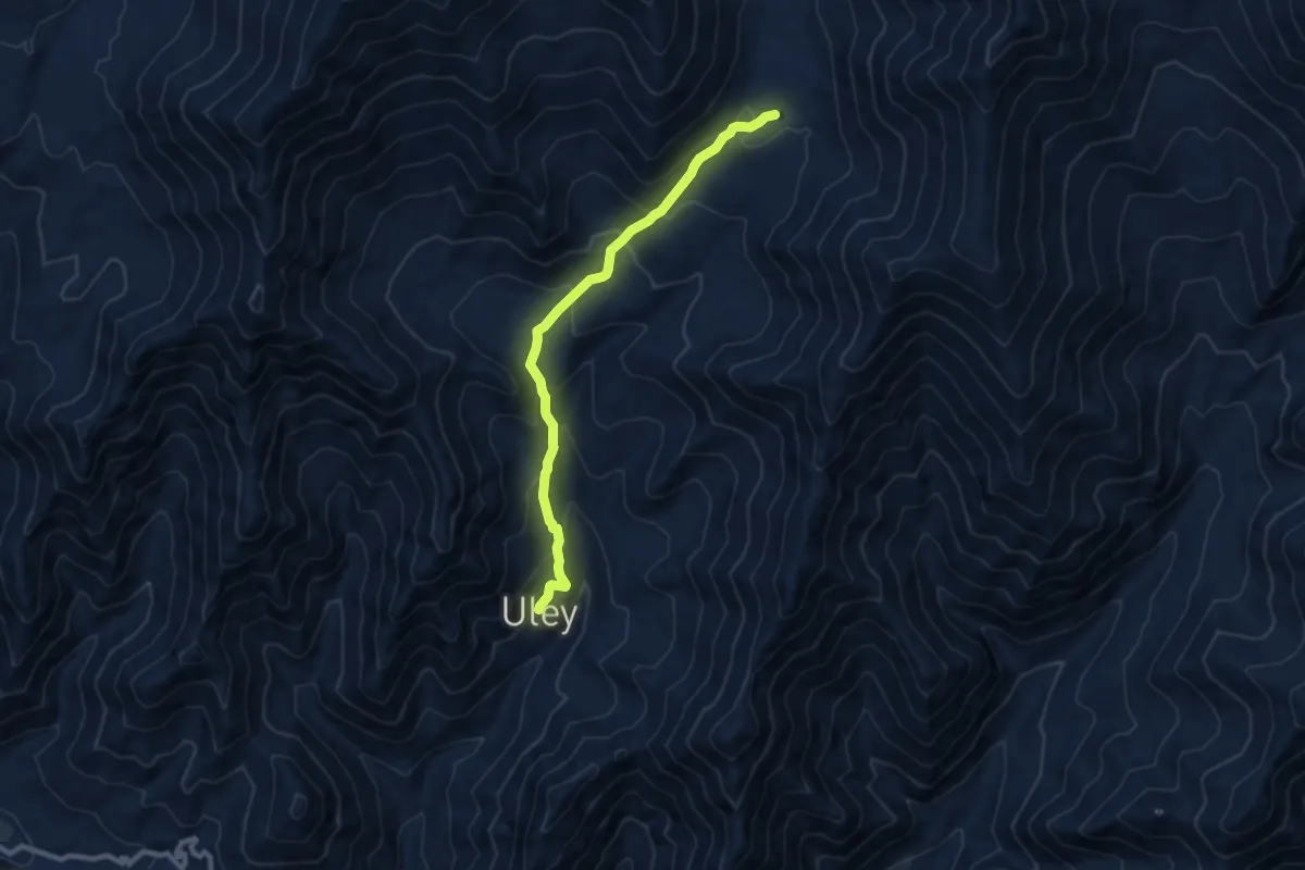
Medium · Trail
Uley to Tso Ralpo
10.6 km · ↑ 730 m · 4 h 5 min
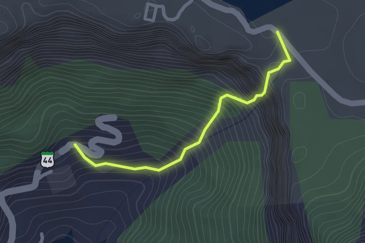
Medium · Trail
Umbardara
2.3 km · ↑ 373 m · 1 h 21 min
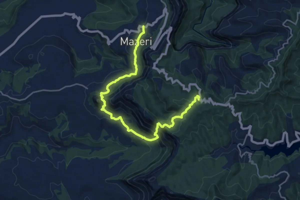
Demanding · Trail
Umbarde - Taliye - Mazeri
18.2 km · ↑ 1067 m · 6 h 37 min
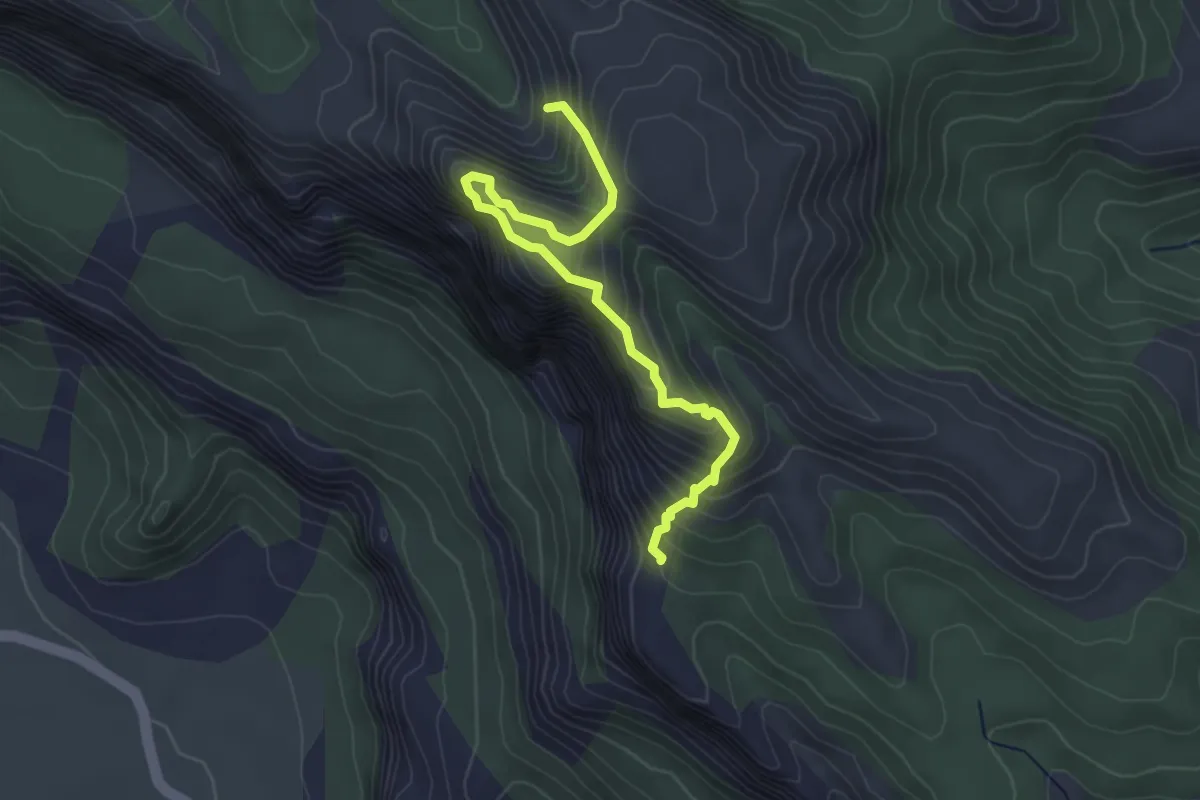
Medium · Trail
Umbarlyachi Waat (B)
4.9 km · ↑ 595 m · 2 h 27 min
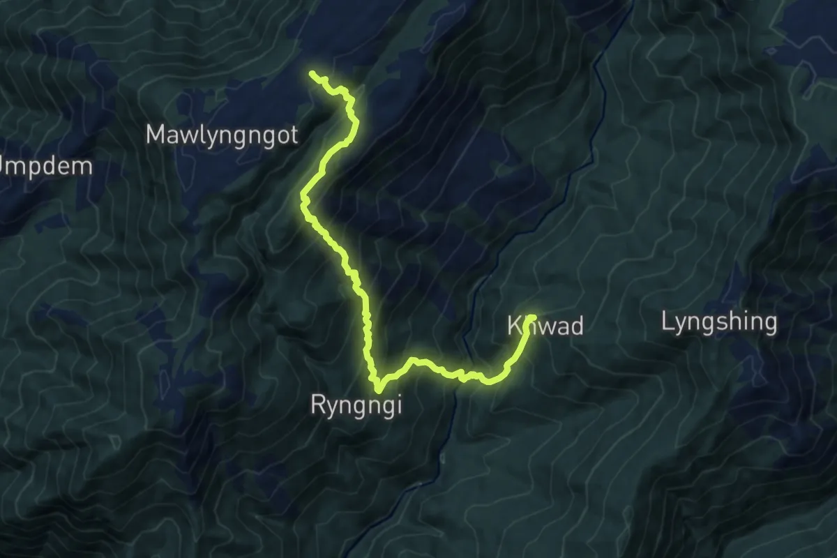
Demanding · Trail
Umkhoi to Khwad
14.1 km · ↑ 1678 m · 6 h 58 min
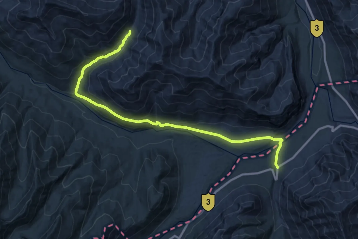
Medium · Trail
Umlung Tso (Cascading lakes of Ladakh)
15.7 km · ↑ 329 m · 4 h 47 min
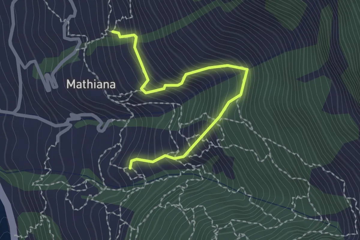
Medium · Trail
Upper Mathiana
2.5 km · ↑ 389 m · 1 h 26 min
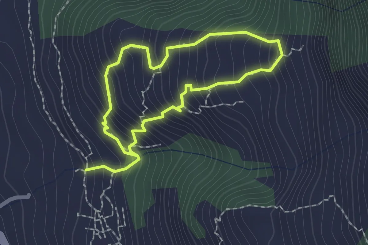
Easy · Trail
Upper Vashist Loop
1.8 km · ↑ 277 m · 1 h 1 min
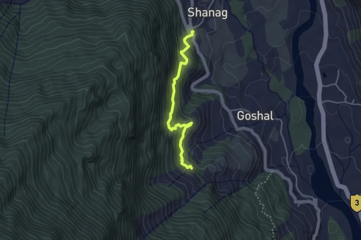
Medium · Trail
Upper Waterfall
3.4 km · ↑ 385 m · 1 h 38 min
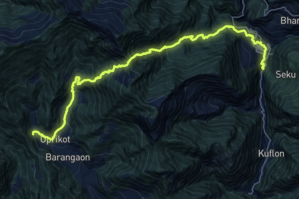
Demanding · Trail
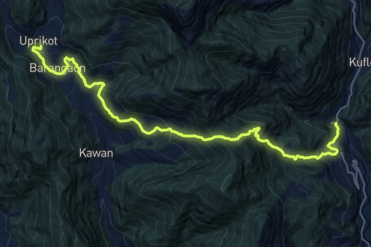
Uprikot to Sangamchatti
13.4 km · ↑ 1239 m · 6 h 14 min
Medium · Trail
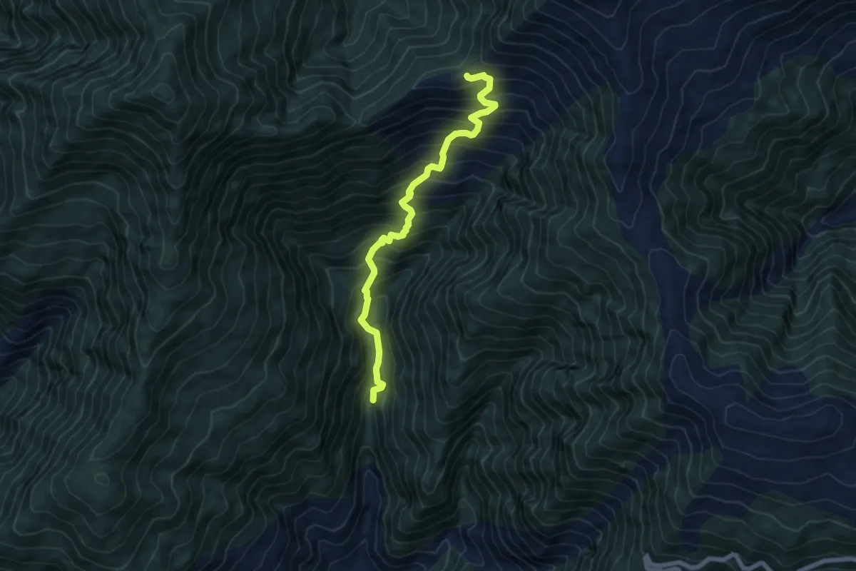
Uprikot to Utraon
10.6 km · ↑ 624 m · 4 h 18 min
Demanding · Trail
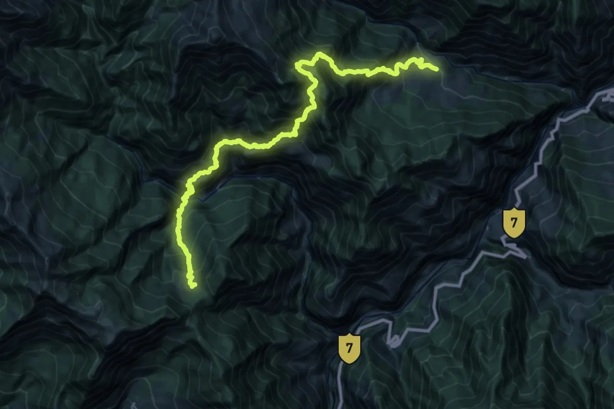
uragari gali
7.2 km · ↑ 912 m · 3 h 41 min
Demanding · Trail
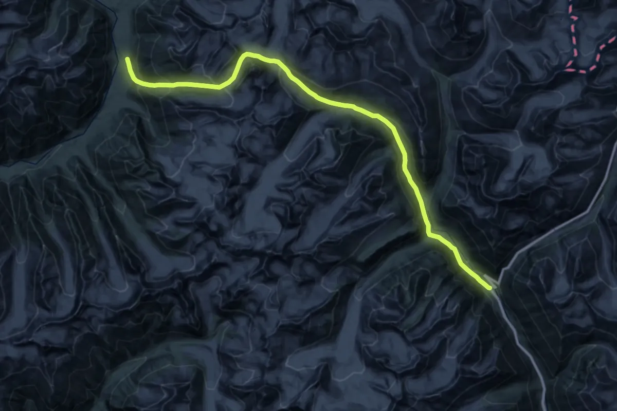
Urgam to Toli Tal
19.0 km · ↑ 2454 m · 9 h 44 min
Expert · Trail
Urgin La (Tarsalamu La)
28.7 km · ↑ 1585 m · 10 h 41 min
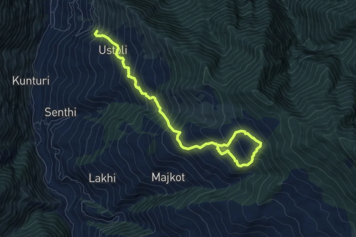
Demanding · Trail
Ustoli to Maikot
12.1 km · ↑ 1116 m · 5 h 17 min
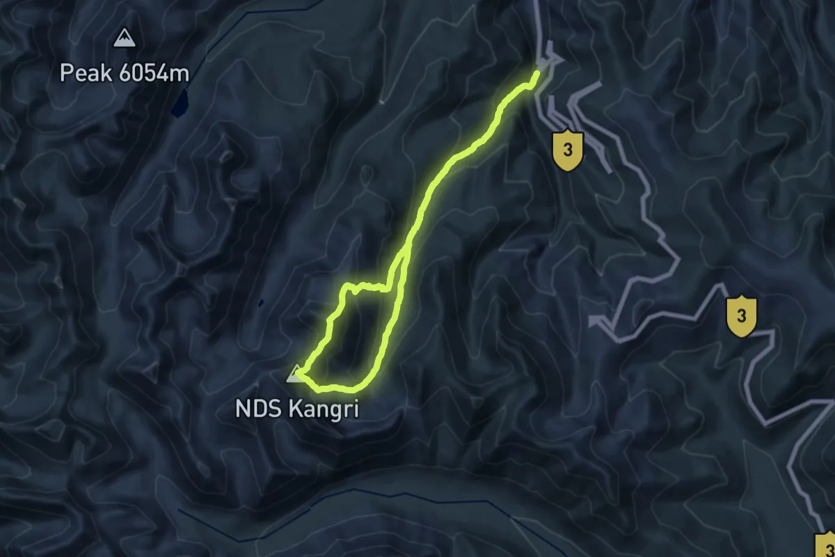
Demanding · Summit
UT Kangri 1 (6090 m)
20.1 km · ↑ 1609 m · 8 h 31 min
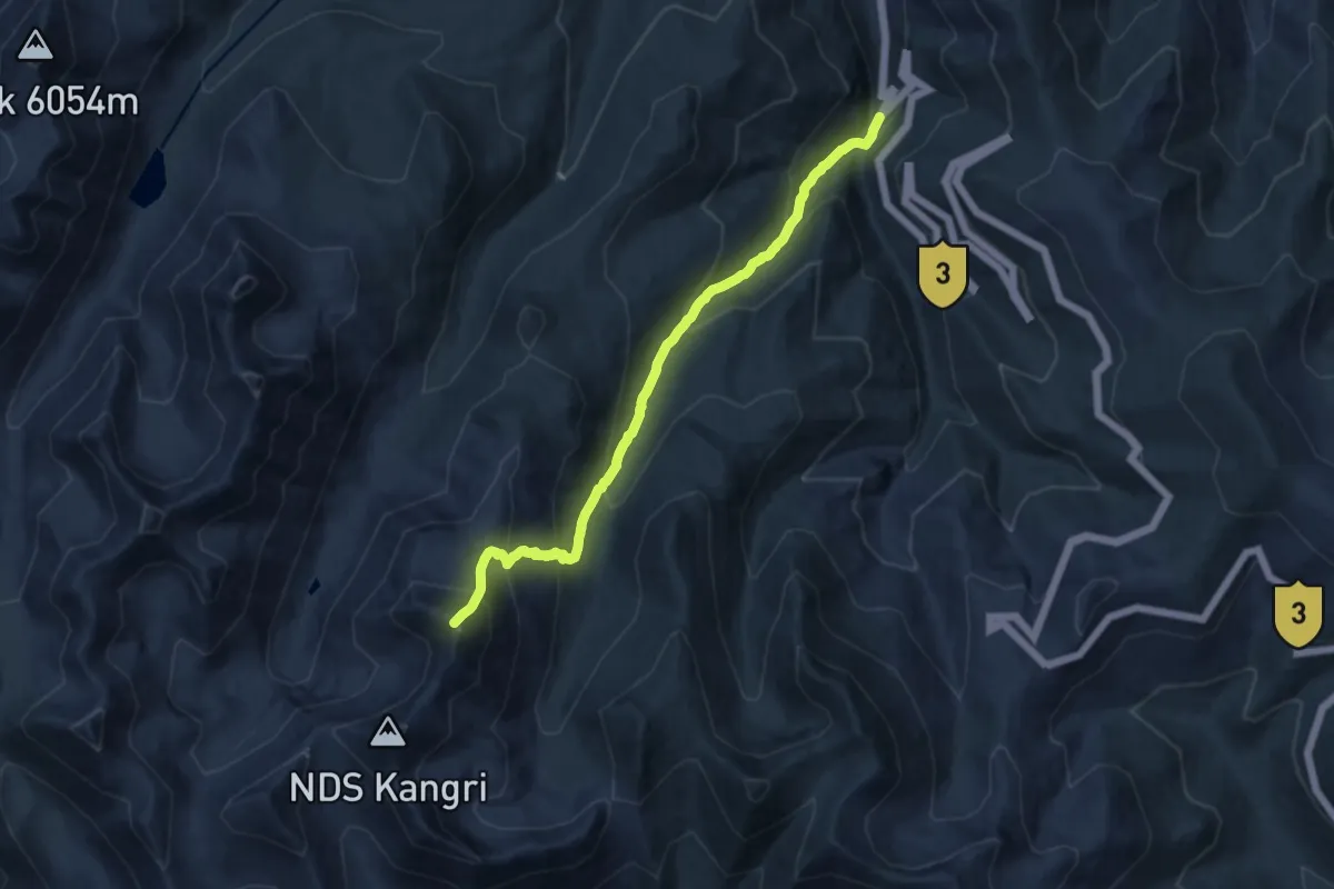
Demanding · Summit
UT Kangri 2 (6030 m)
16.8 km · ↑ 1448 m · 7 h 6 min
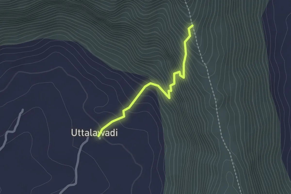
Easy · Trail
Uttalawadi to Hatkeshwar
2.4 km · ↑ 284 m · 1 h 11 min
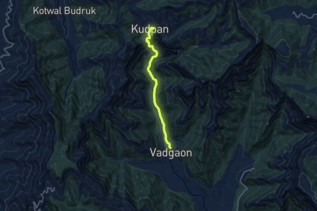
Medium · Trail
Vadgaon to Kudpan
10.9 km · ↑ 644 m · 3 h 58 min
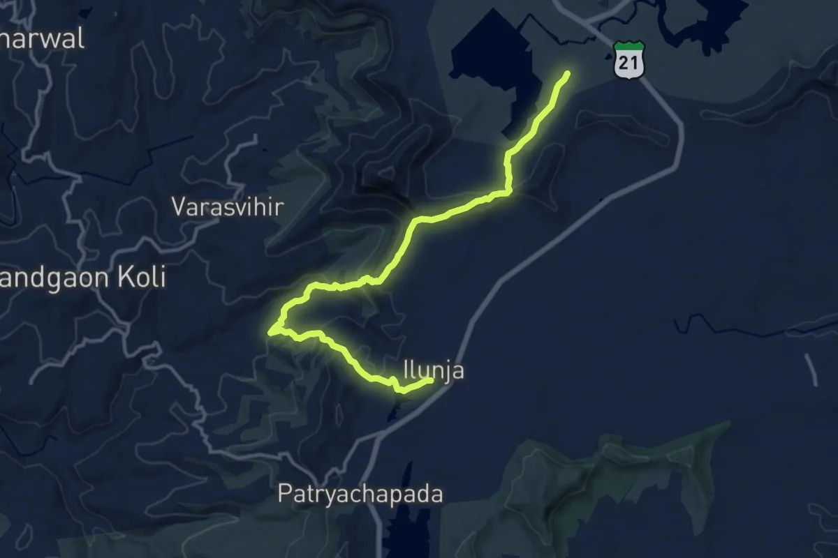
Demanding · Trail
Vaghera Fort
18.1 km · ↑ 774 m · 5 h 58 min
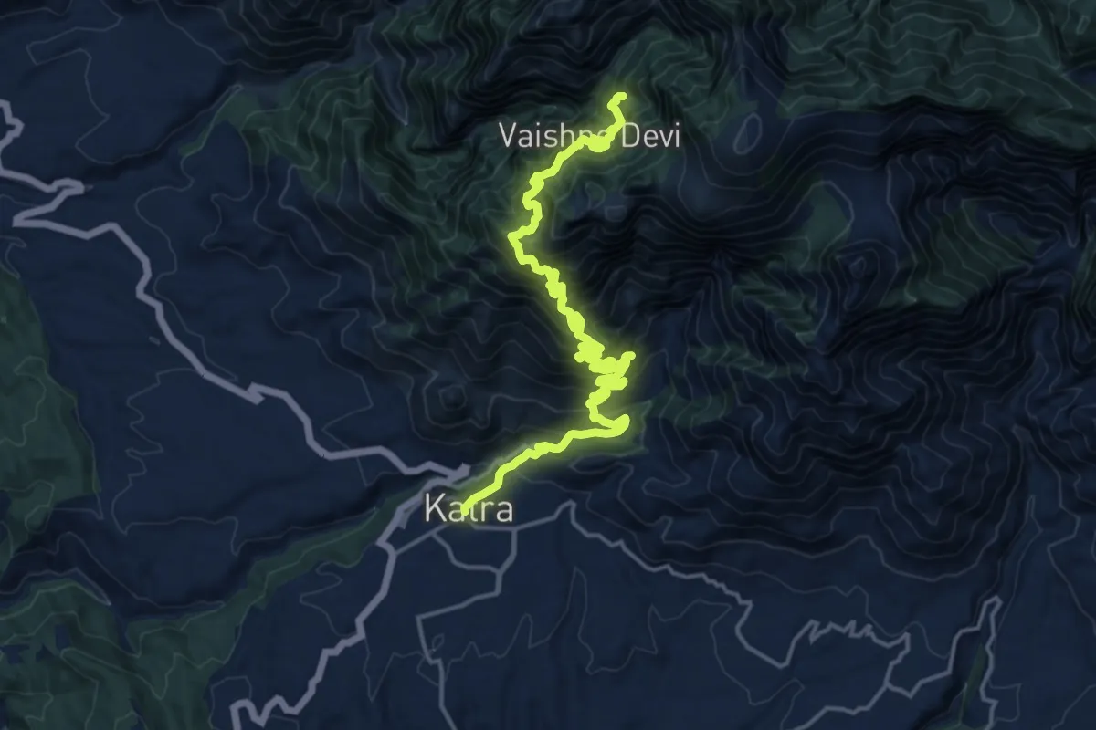
Demanding · Trail
Vaishno Devi
11.8 km · ↑ 1647 m · 6 h 4 min
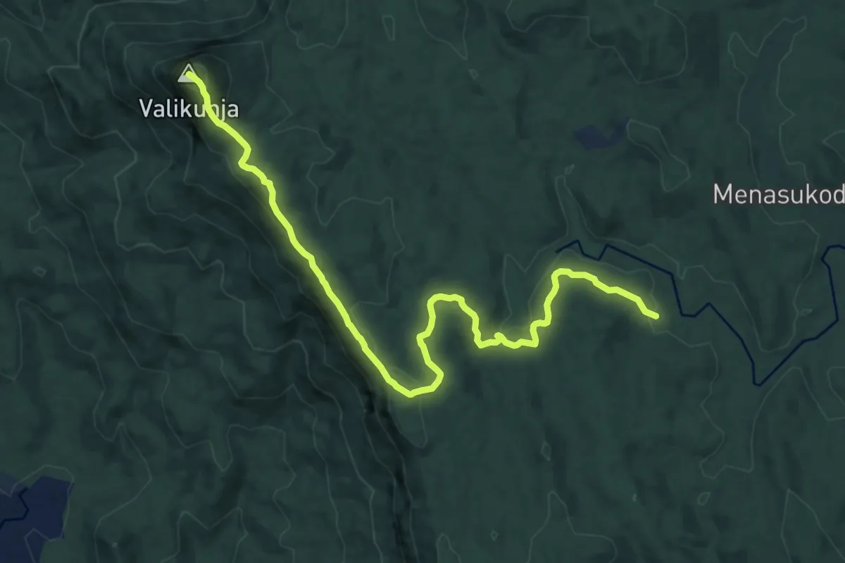
Medium · Summit
Valikunja
16.9 km · ↑ 638 m · 5 h 23 min
Medium · Trail
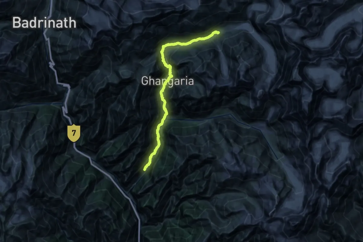
Valley of Flowers
17.6 km · ↑ 466 m · 6 h 11 min
Medium · Trail
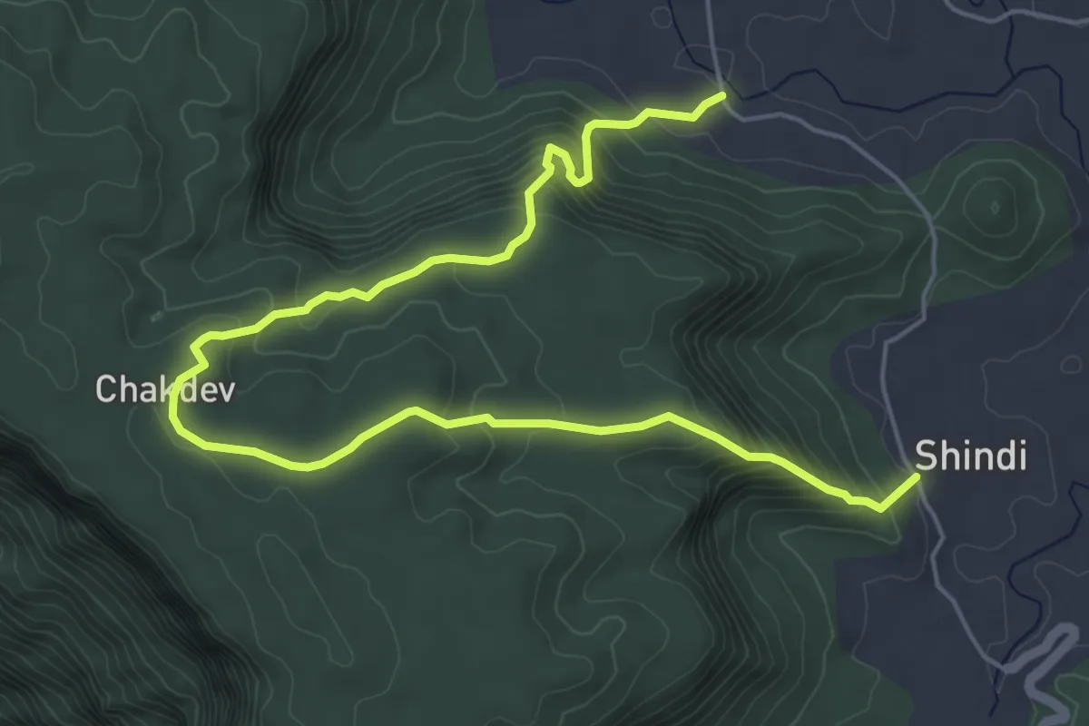
Valvand to Shindi via Chakdev
9.7 km · ↑ 586 m · 3 h 34 min
Demanding · Trail
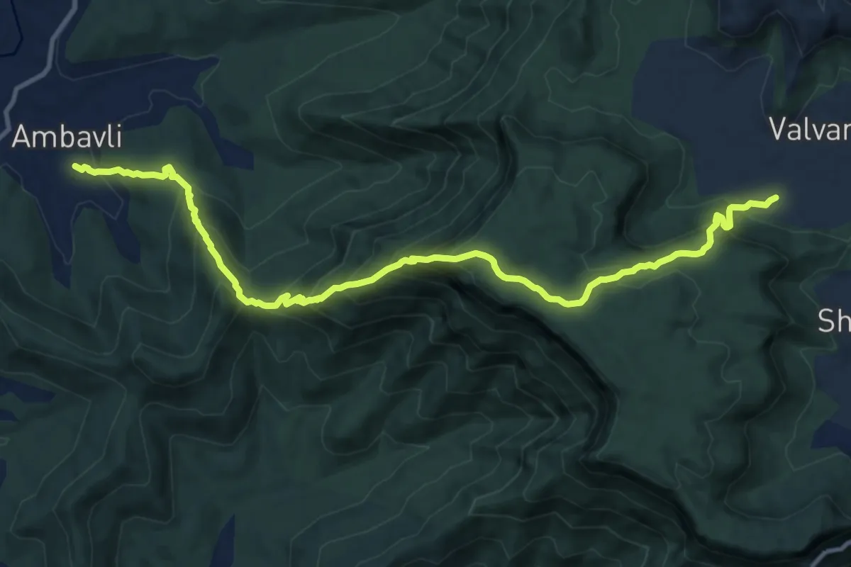
Valvan to Ambavli via Chakdev
16.6 km · ↑ 1200 m · 6 h 32 min
Medium · Trail
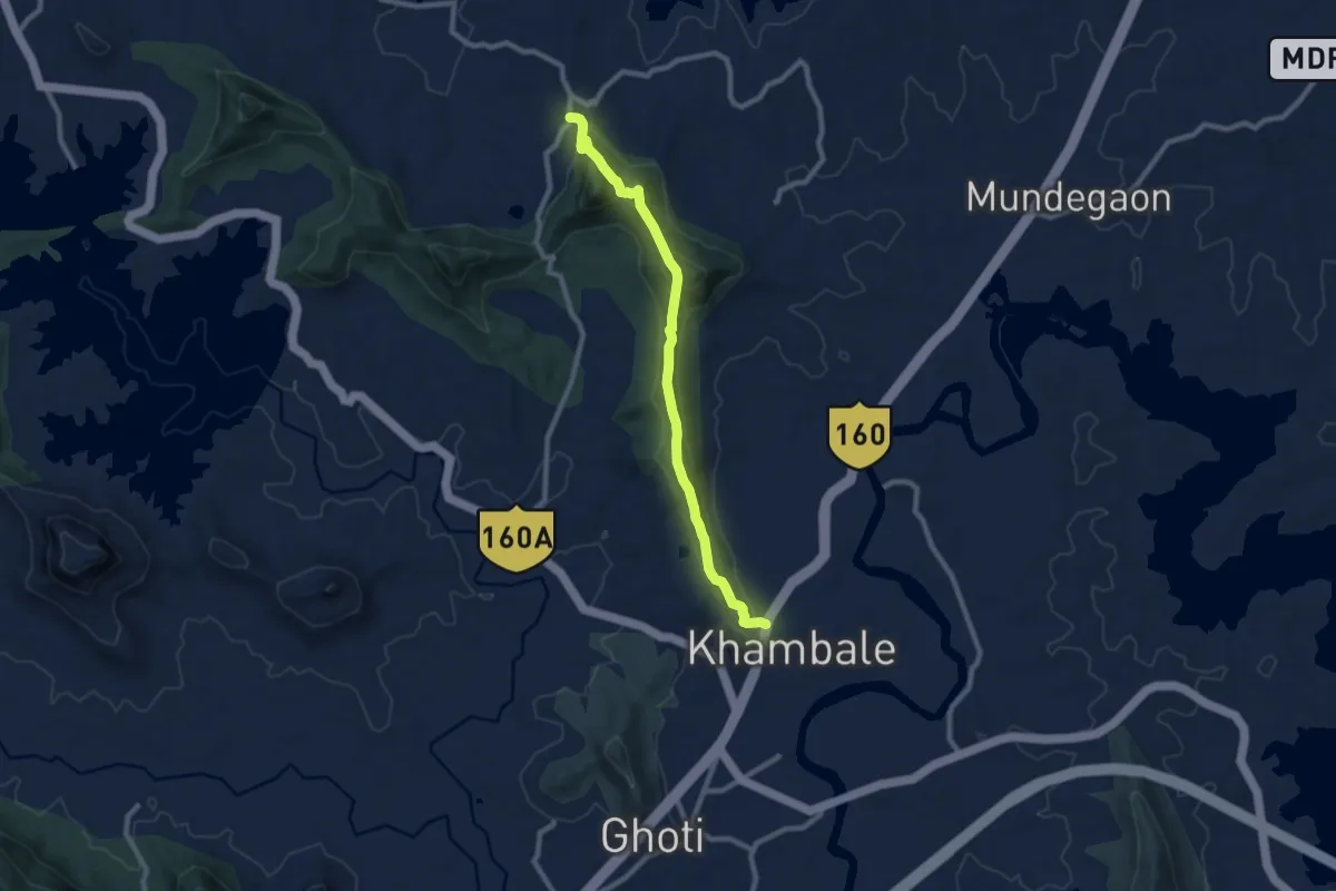
Vandev Kavnai Fort
12.1 km · ↑ 669 m · 4 h 18 min