Trails in Indonesia
92 hiking trails, each with its route, climb, walking time and grade.
All trails, page 2 of 2
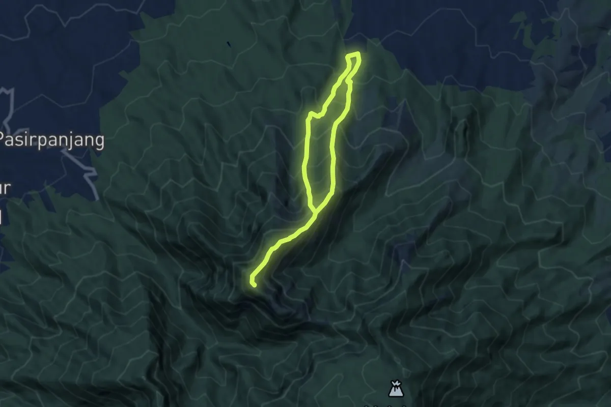
Demanding · Summit
Gunung Puntang via Pasirkuda
12.5 km · ↑ 1685 m · 6 h 37 min
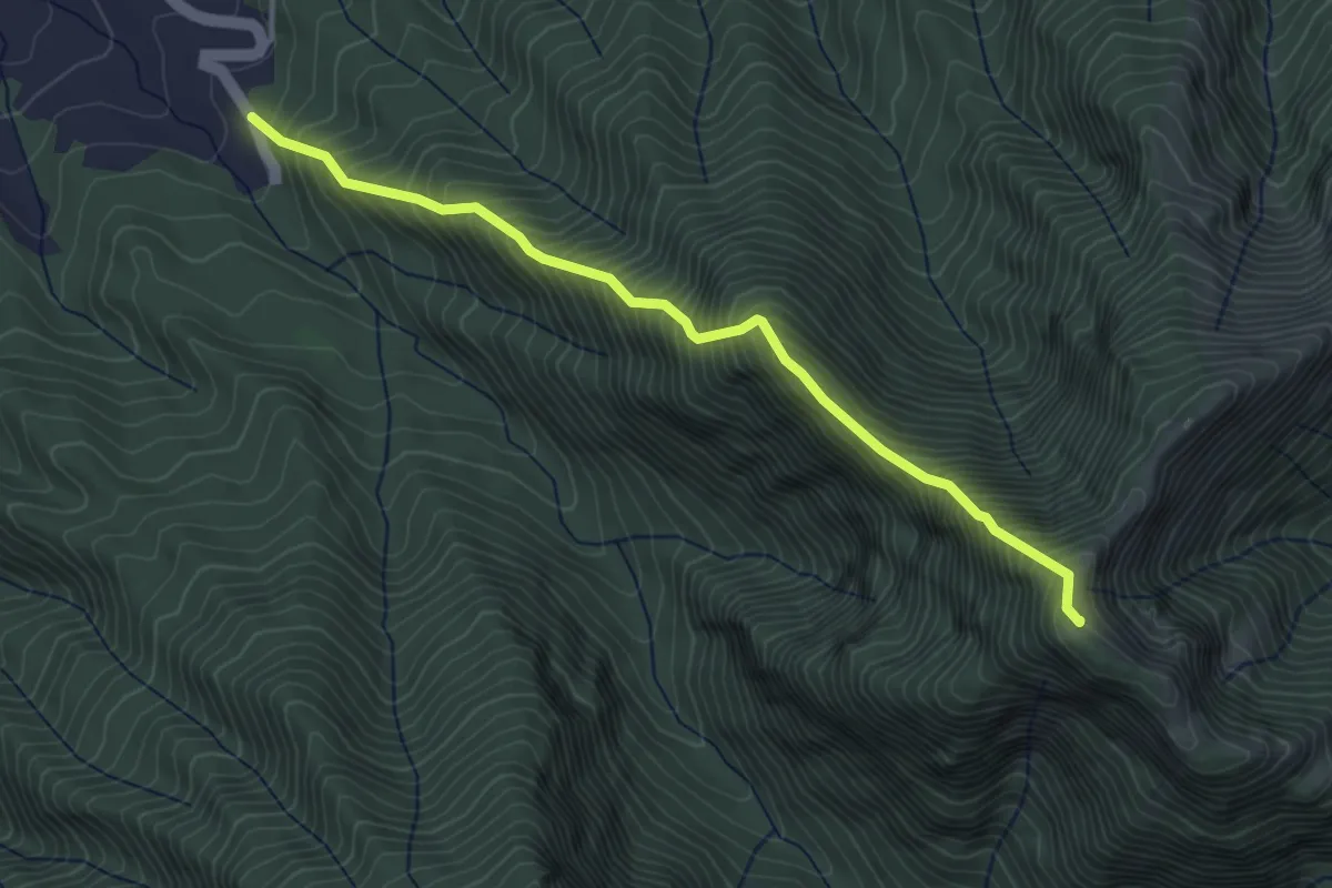
Demanding · Summit
Gunung Puntang via PGPI
5.4 km · ↑ 946 m · 3 h 20 min
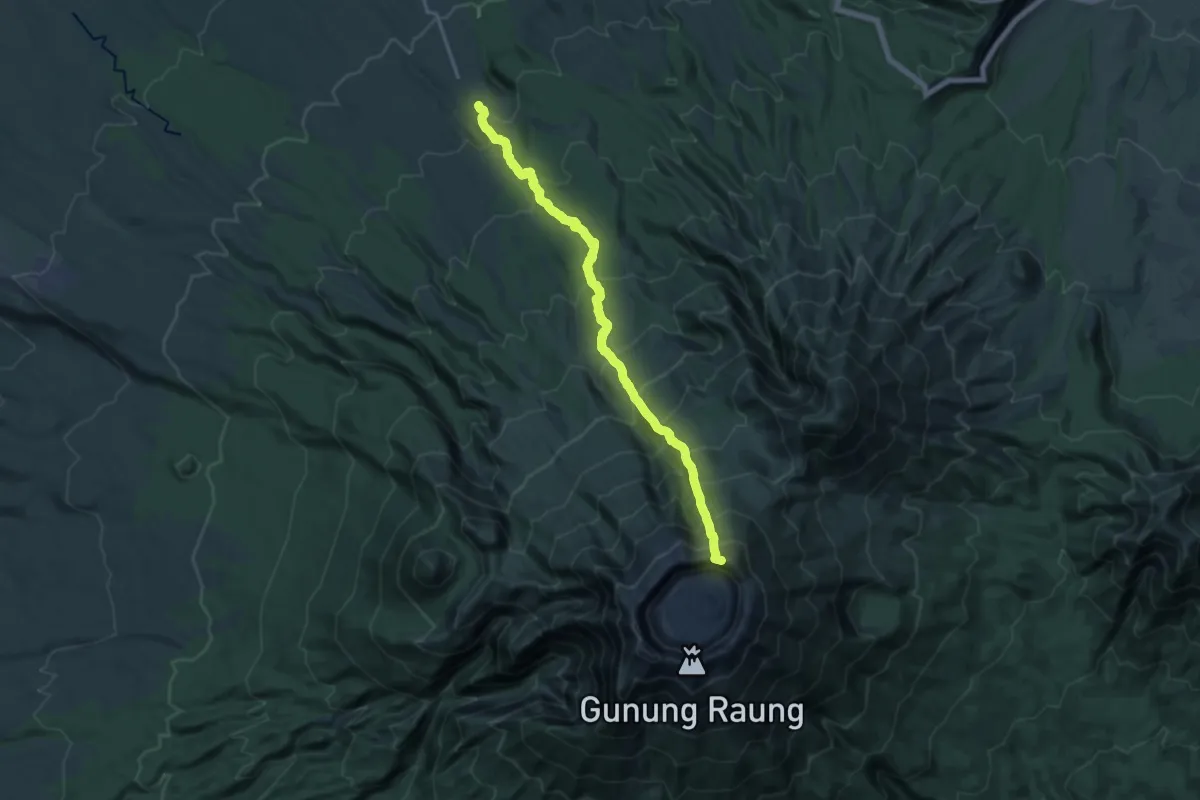
Demanding · Trail
Gunung Raung (Sumberwringin BC)
11.4 km · ↑ 2013 m · 6 h 13 min
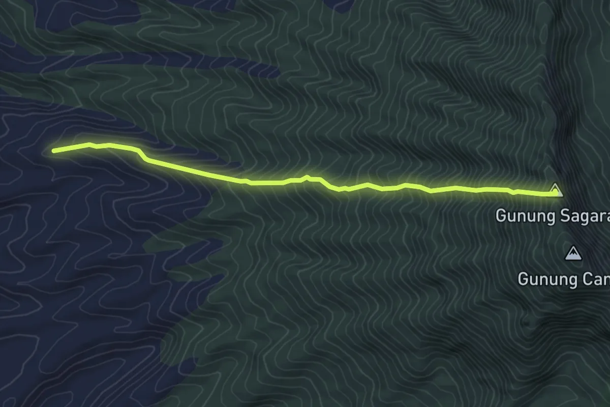
Demanding · Summit
Gunung Sagara
6.2 km · ↑ 873 m · 3 h 21 min
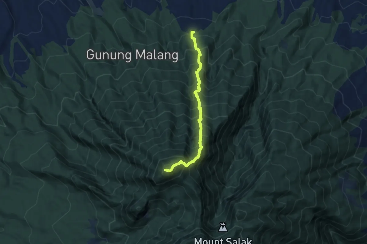
Demanding · Trail
Gunung Salak (Ajisaka BC)
8.8 km · ↑ 1320 m · 4 h 56 min
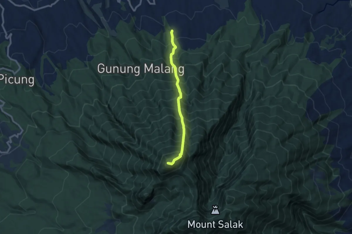
Demanding · Trail
Gunung Salak Dua
8.3 km · ↑ 1422 m · 5 h 3 min
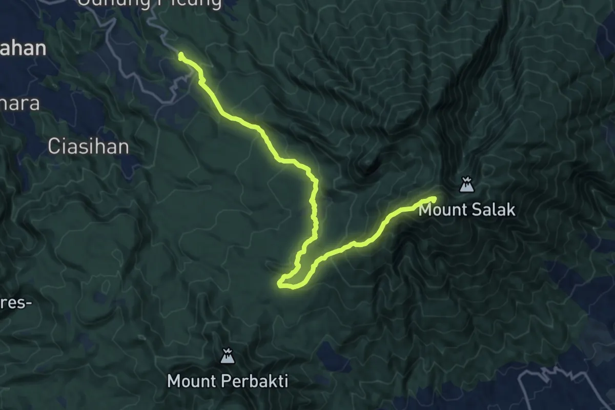
Demanding · Summit
Gunung Salak (Pasir Reugnit to Cimelati)
21.0 km · ↑ 1449 m · 8 h 6 min
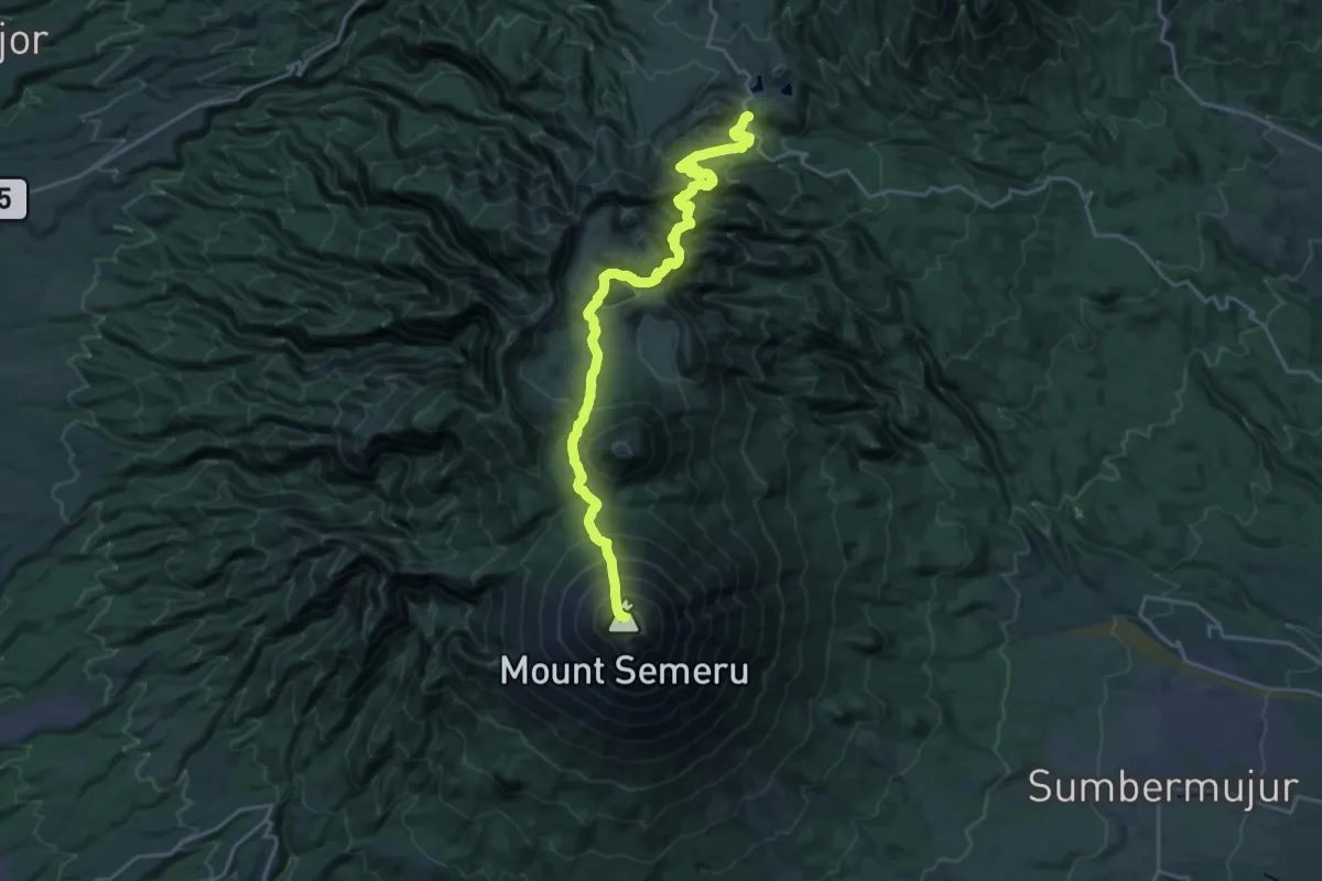
Demanding · Summit
Gunung Semeru
31.8 km · ↑ 2744 m · 13 h 27 min
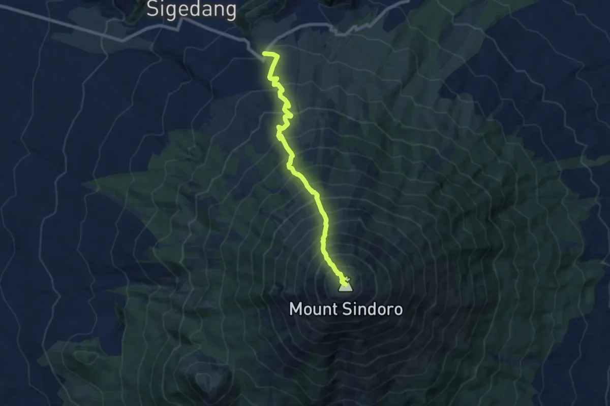
Demanding · Summit
Gunung Sindoro (Sigedang Route)
9.4 km · ↑ 1352 m · 5 h 9 min
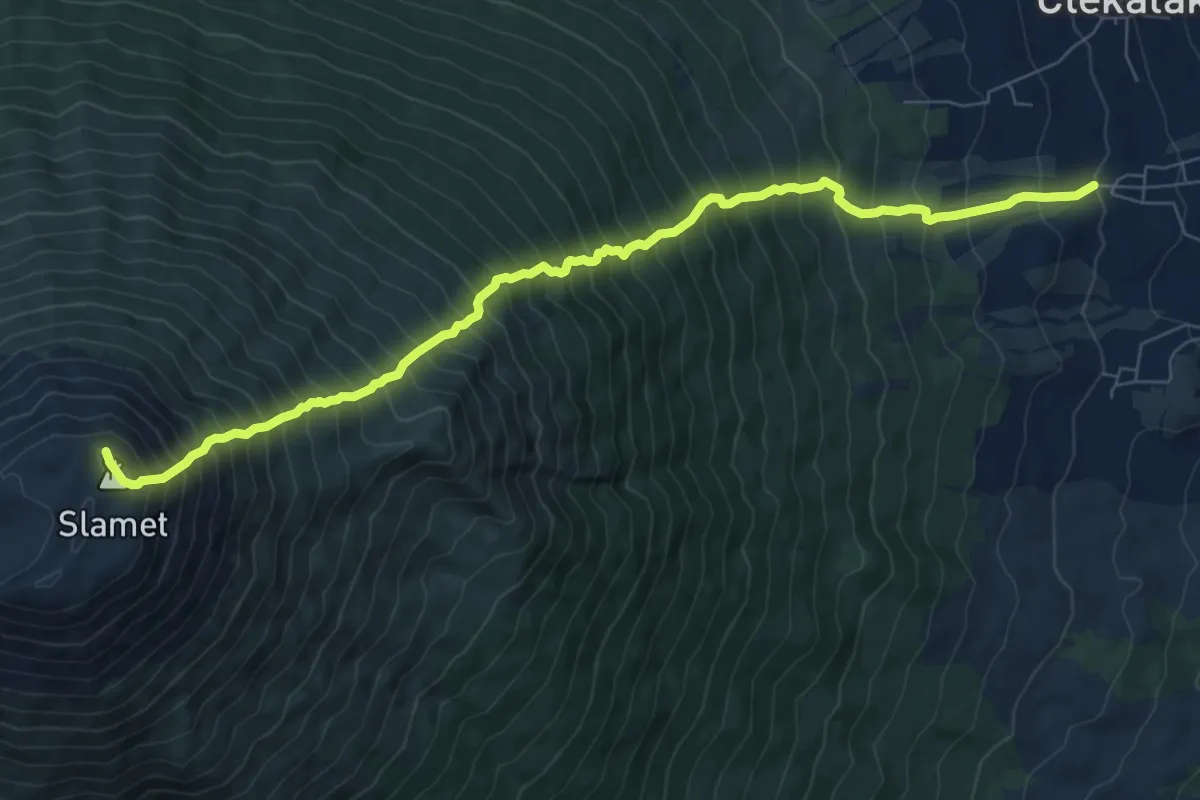
Demanding · Trail
Gunung Slamet (Bambangan BC)
11.8 km · ↑ 1926 m · 6 h 58 min
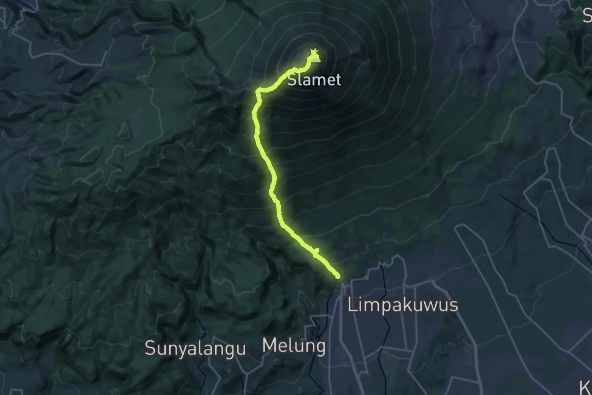
Demanding · Trail
Gunung Slamet (Baturaden Lama BC)
11.6 km · ↑ 2778 m · 7 h 34 min
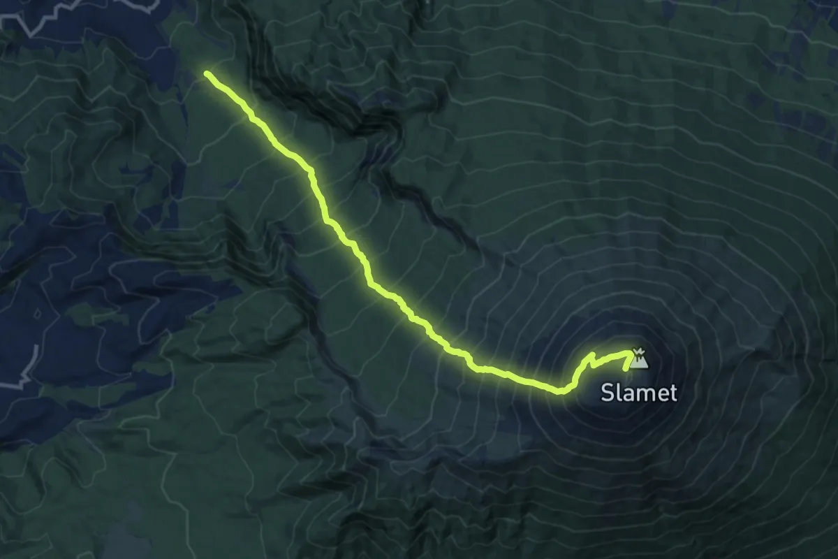
Medium · Trail
Gunung Slamet (Guci BC)
8.1 km · ↑ 17 m · 3 h 4 min
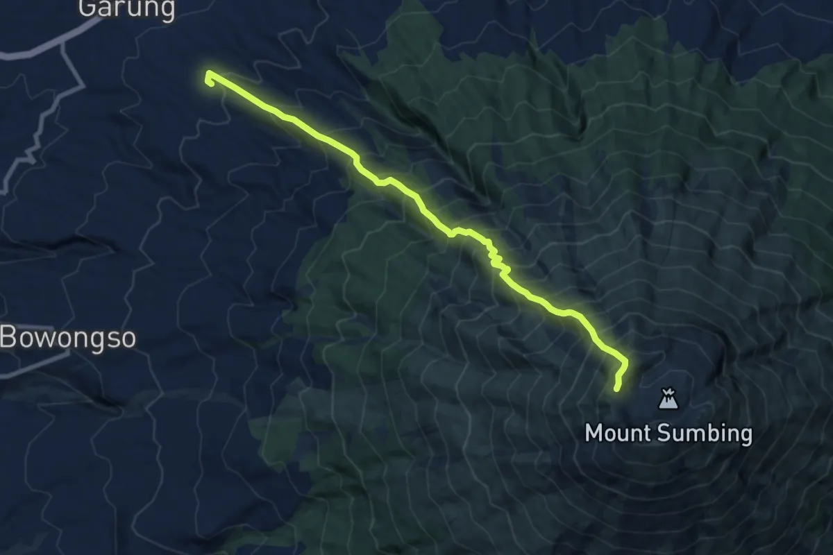
Demanding · Trail
Gunung Sumbing (Garung BC)
11.9 km · ↑ 1801 m · 6 h 43 min
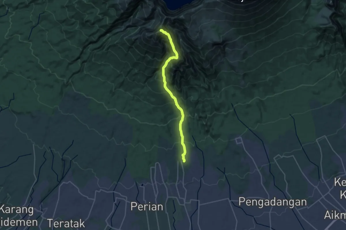
Demanding · Summit
Gunung Timanuk
23.6 km · ↑ 2253 m · 10 h 27 min
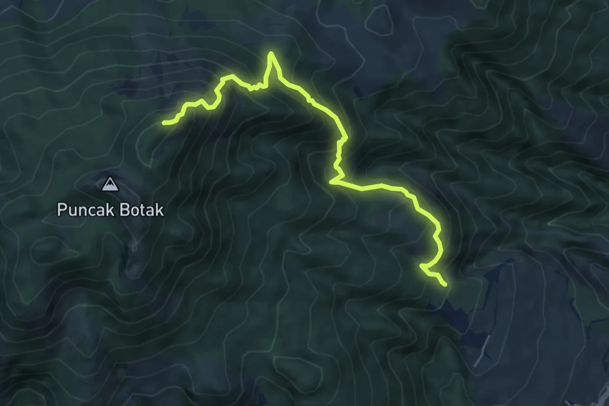
Demanding · Summit
Gunung Ungaran (Mawar BC)
7.6 km · ↑ 815 m · 3 h 33 min
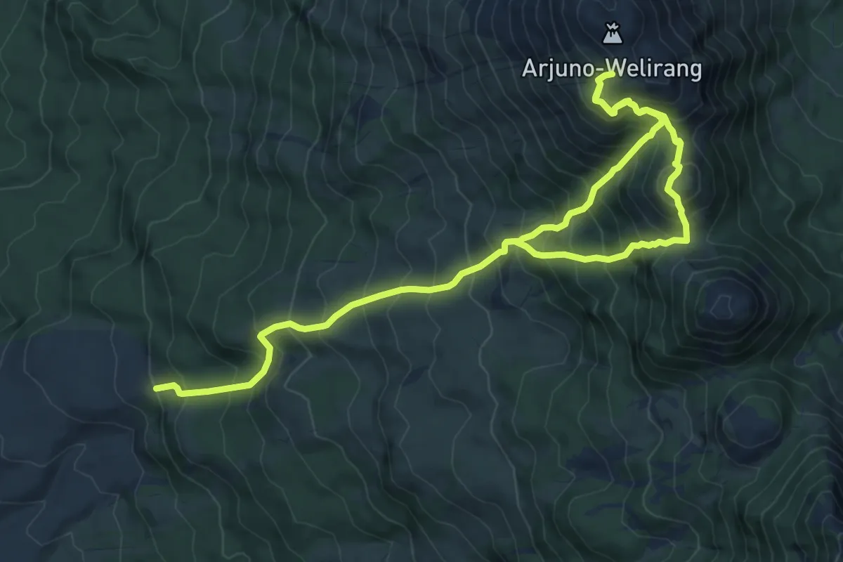
Demanding · Trail
Gunung Welirang (Cangar BC)
15.7 km · ↑ 1818 m · 7 h 39 min
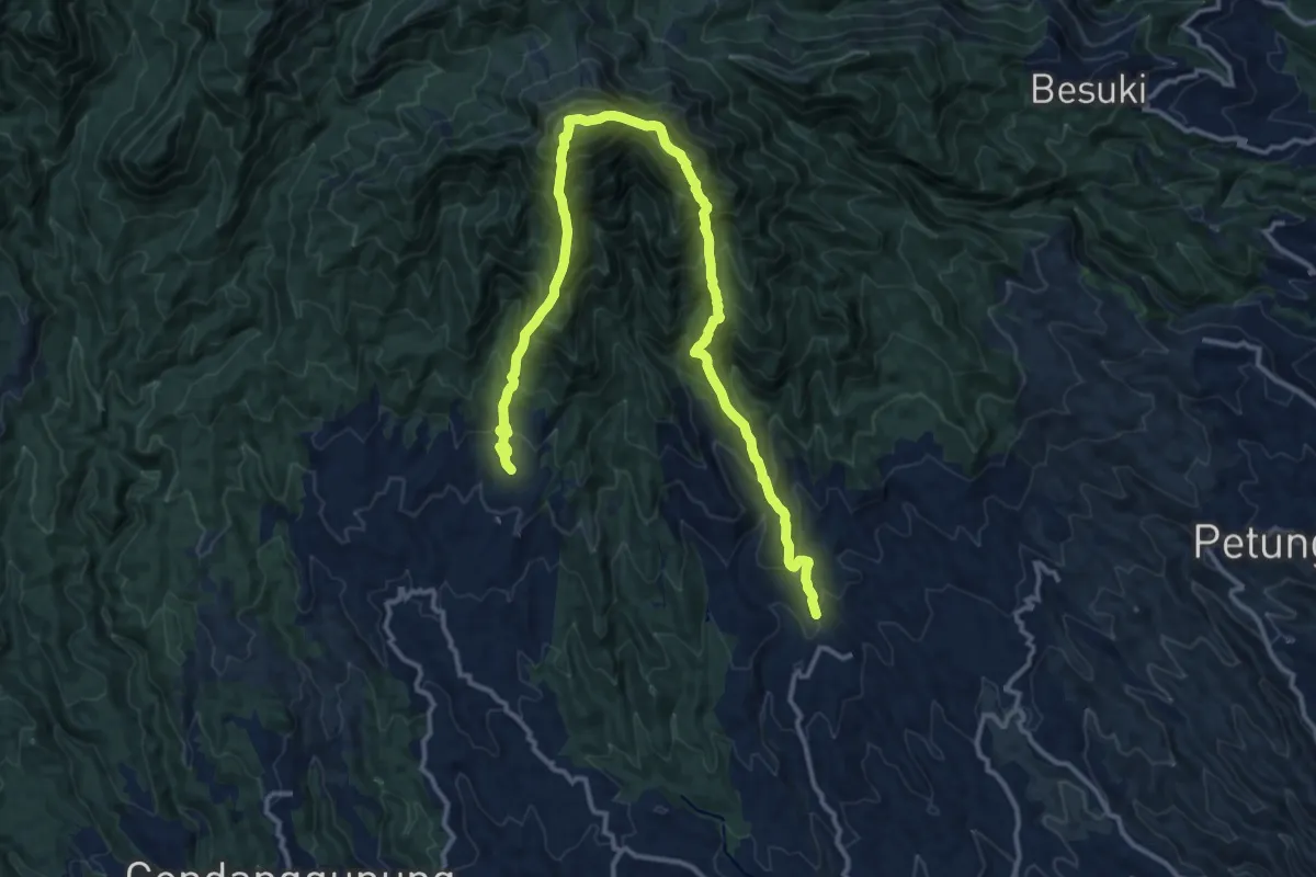
Demanding · Trail
Gunung Wilis
11.9 km · ↑ 1243 m · 5 h 47 min
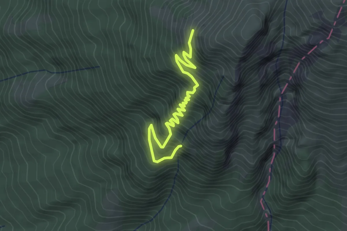
Medium · Trail
Gurung Lawu (Cemoro Kandang BC)
5.0 km · ↑ 570 m · 2 h 25 min
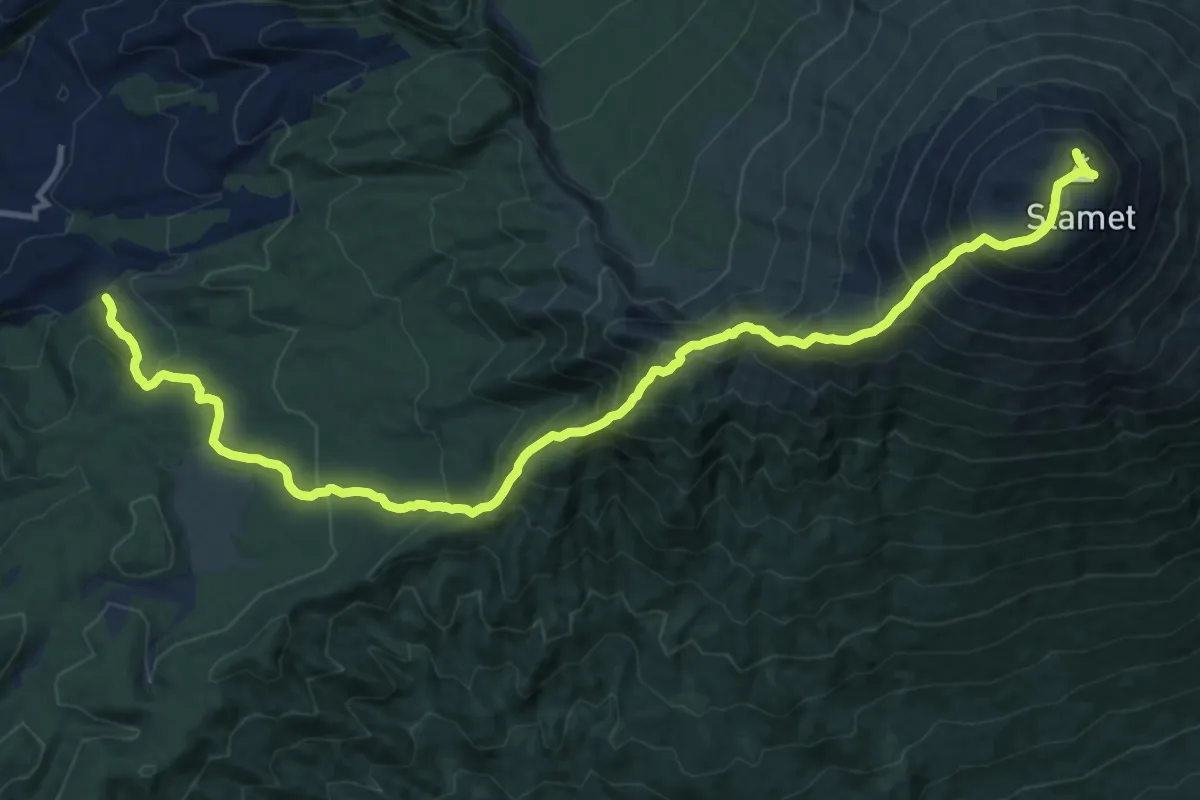
Demanding · Trail
Gurung Slamet (Kaliwadas BC)
10.2 km · ↑ 1609 m · 5 h 15 min
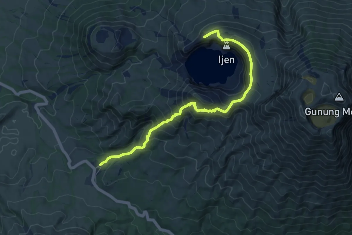
Medium · Trail
Ijen (Merapi)
10.3 km · ↑ 718 m · 3 h 59 min
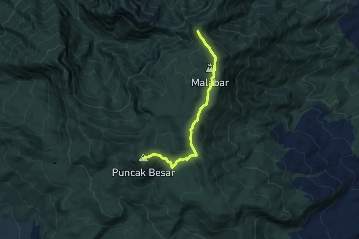
Medium · Summit
Jalur Pendakian Puncak Junghuhn-Puncak Besar Malabar
9.1 km · ↑ 600 m · 3 h 27 min
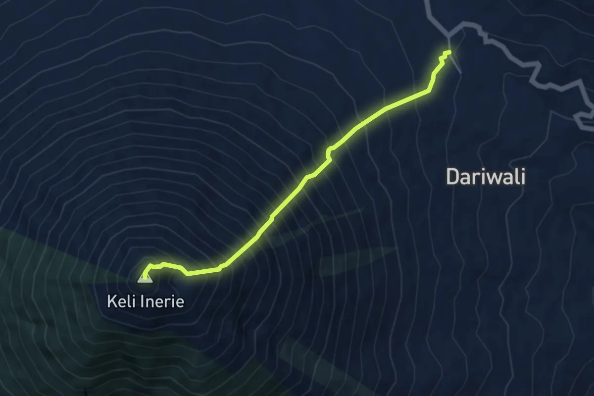
Expert · Summit
Mount Inerie
5.6 km · ↑ 1099 m · 3 h 43 min
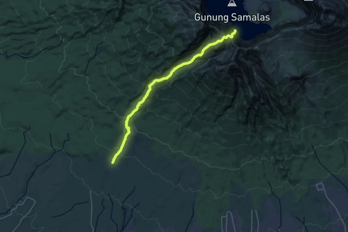
Demanding · Trail
Mount Rinjani (Timbanuh BC)
14.1 km · ↑ 1923 m · 7 h 3 min
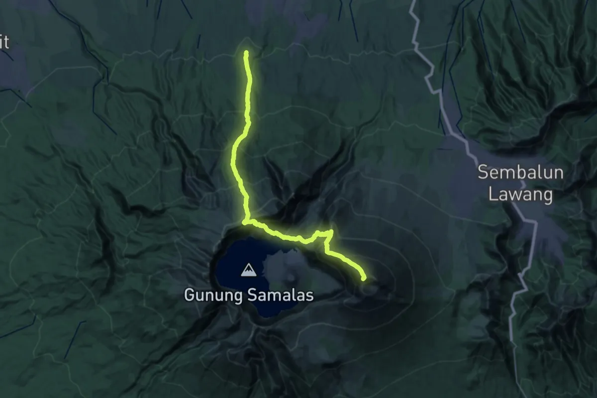
Expert · Summit
Mount Rinjani via Senaru
39.6 km · ↑ 4635 m · 19 h 23 min
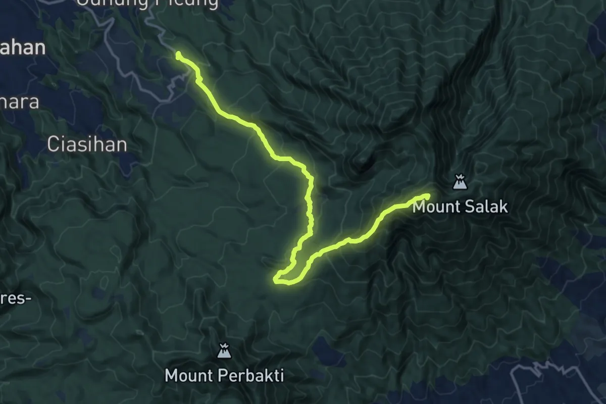
Demanding · Summit
Mt Salak (Gunung Sari Route)
21.0 km · ↑ 1449 m · 8 h 6 min
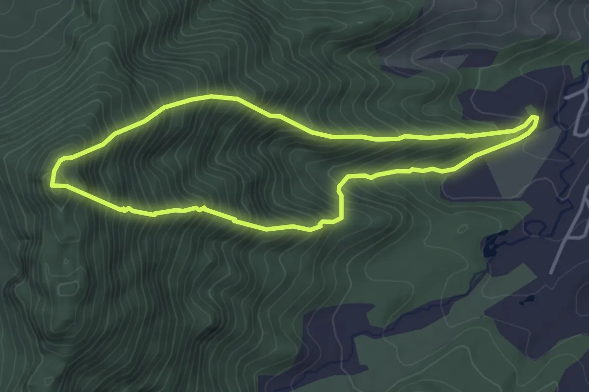
Medium · Summit
Pasir Gegerbentang Loop
4.8 km · ↑ 735 m · 2 h 47 min
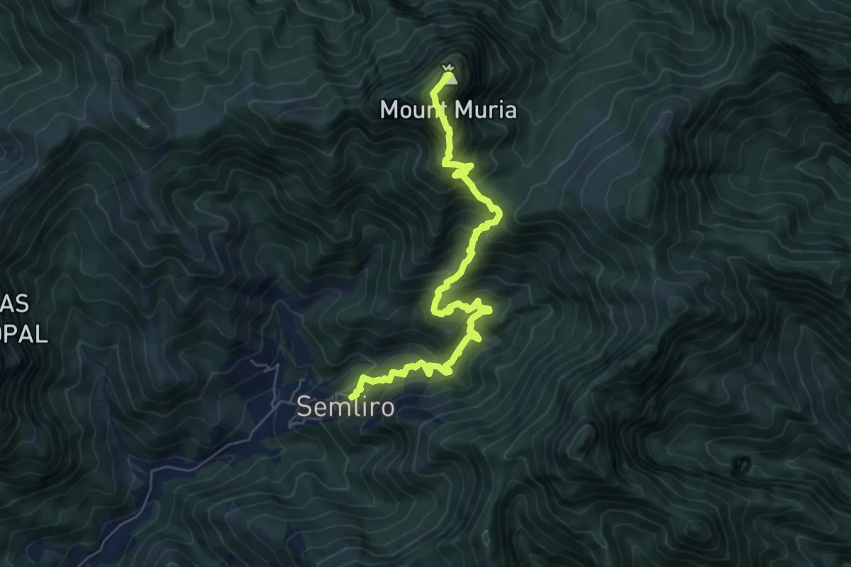
Demanding · Summit
Pendakian P
9.0 km · ↑ 1121 m · 4 h 34 min
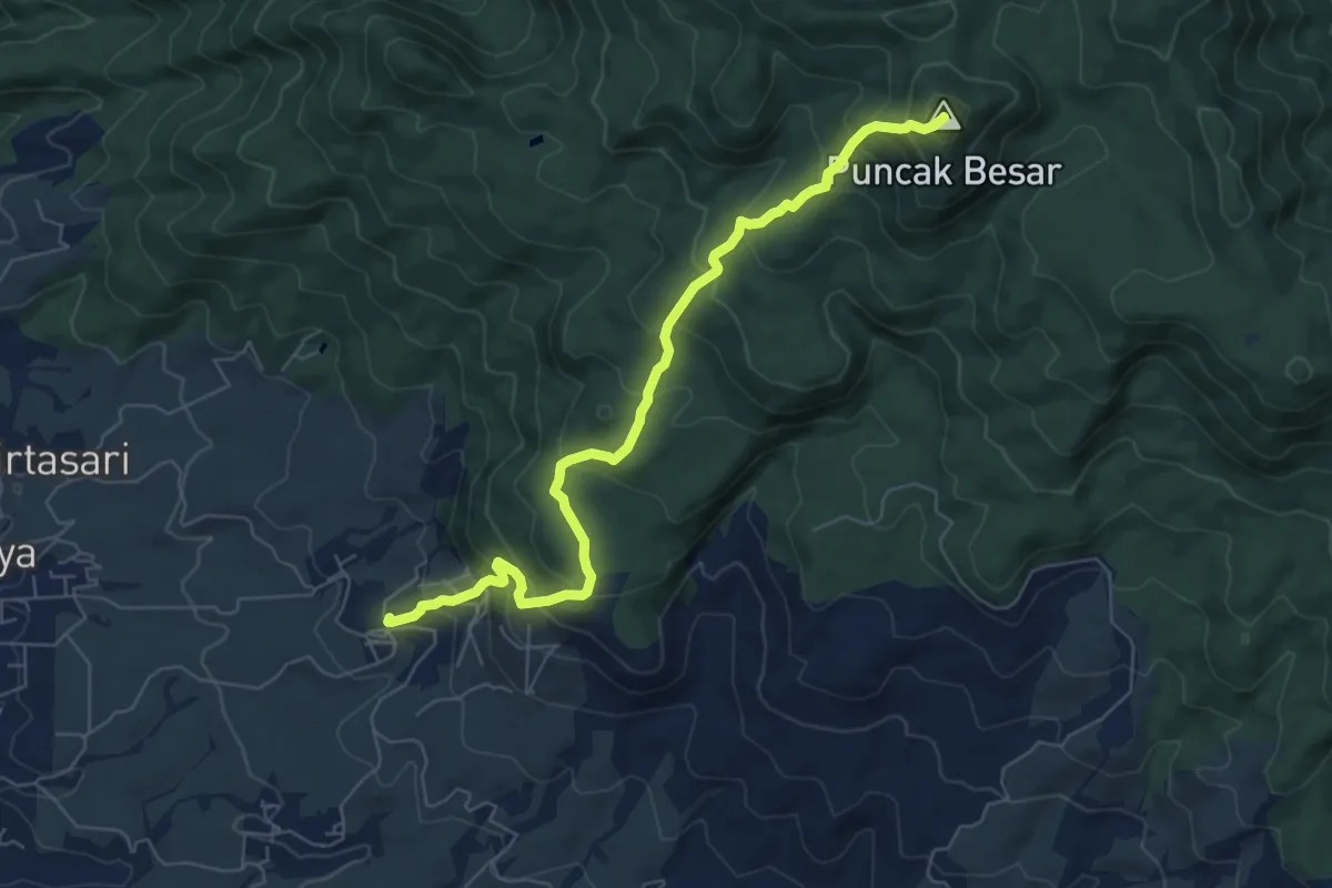
Medium · Summit
Puncak Besar Malabar via Cinyiruan
9.6 km · ↑ 774 m · 3 h 57 min
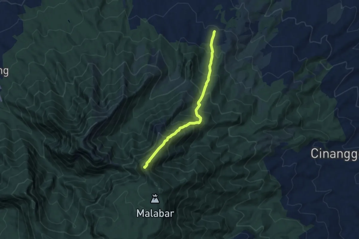
Demanding · Summit
Puncak Junghuhn via Cidulang
9.0 km · ↑ 1068 m · 4 h 26 min
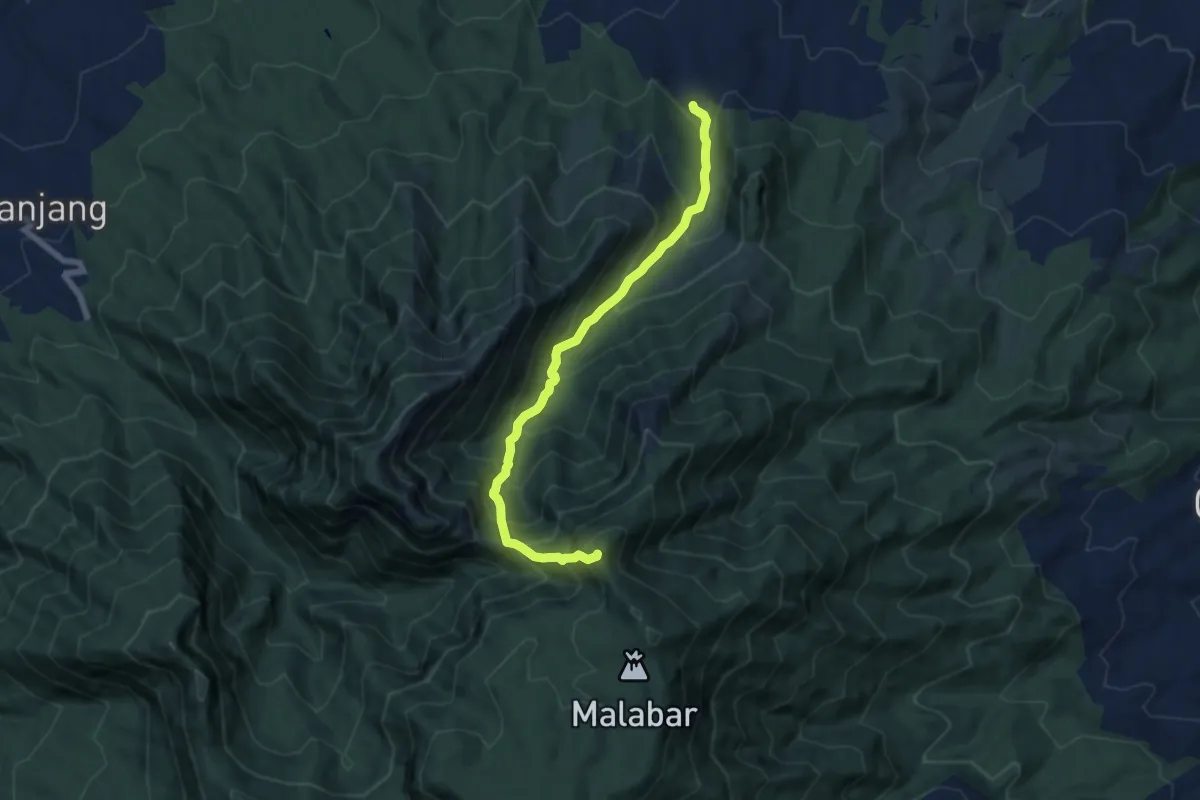
Demanding · Summit
Puncak Junghuhn via Citiis
9.3 km · ↑ 996 m · 4 h 21 min
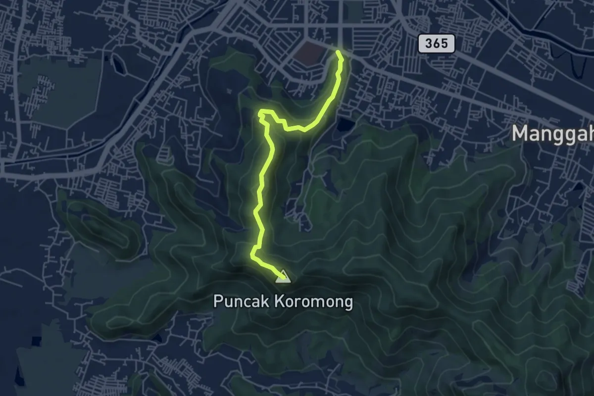
Medium · Summit
Puncak Koromong via Tugu Baleendah
6.7 km · ↑ 474 m · 2 h 36 min
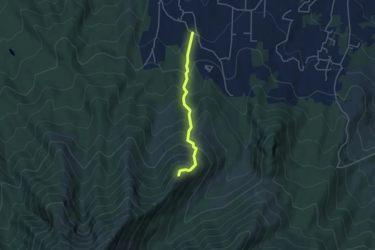
Medium · Summit
Puncak Sangar
4.0 km · ↑ 462 m · 1 h 57 min
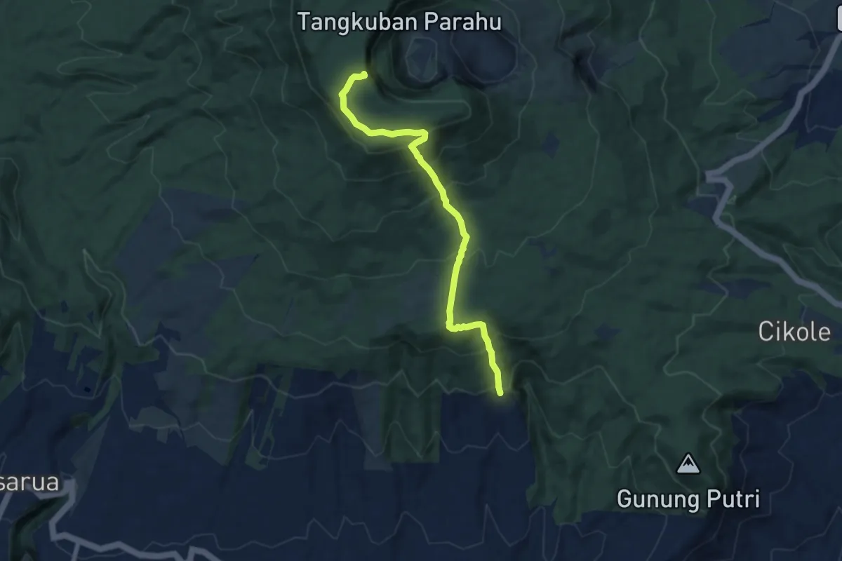
Medium · Summit
Puncak Upas via Benteng Belanda
9.3 km · ↑ 644 m · 3 h 36 min
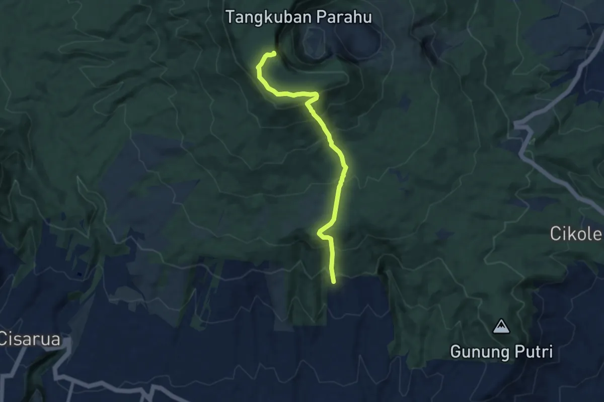
Medium · Summit
Puncak Upas via CIkahuripan
9.1 km · ↑ 584 m · 3 h 24 min
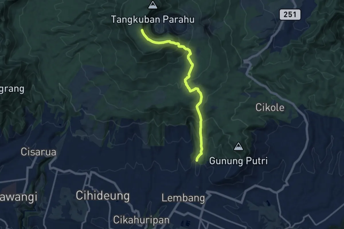
Medium · Summit
Puncak Upas via Jayagiri
12.8 km · ↑ 778 m · 4 h 43 min
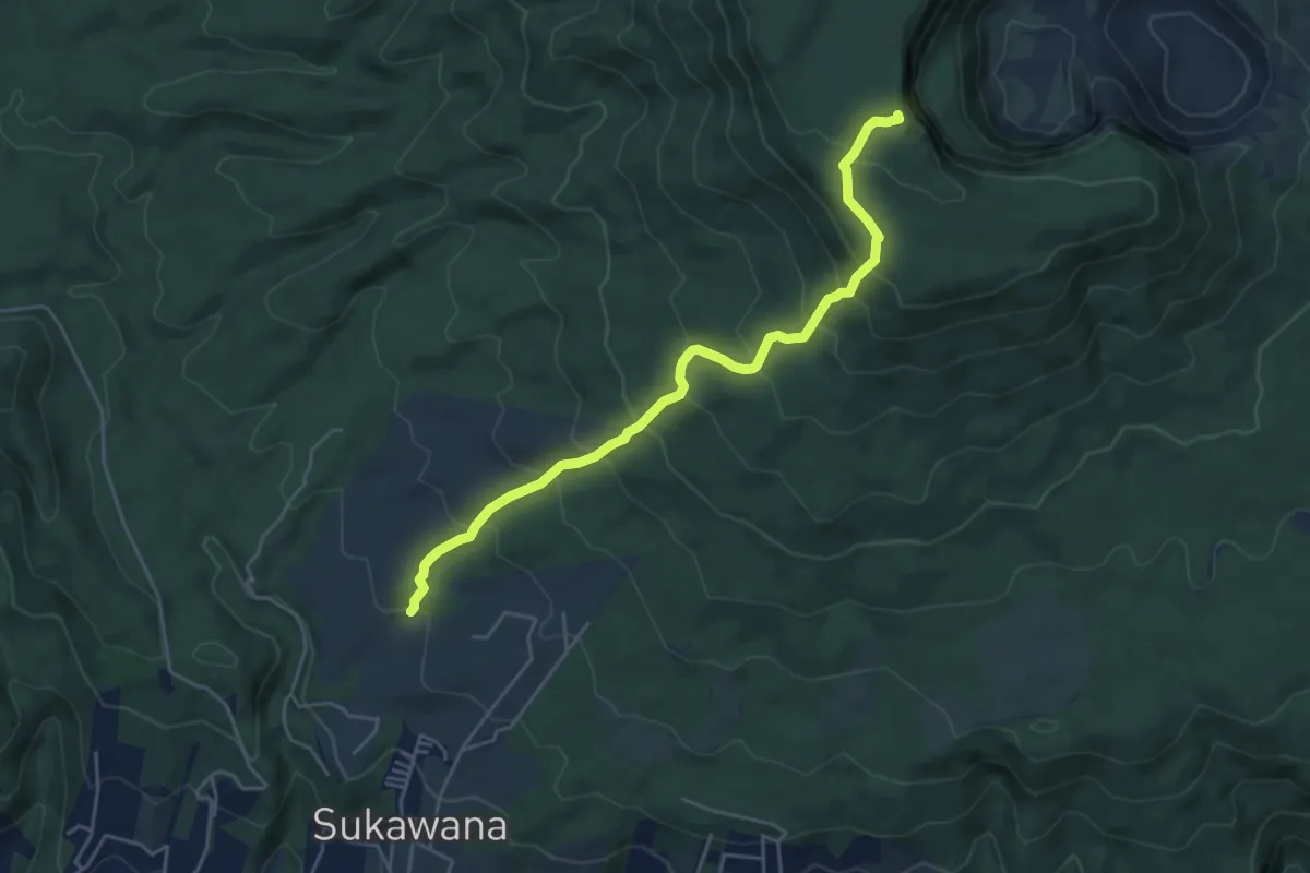
Medium · Summit
Puncak Upas via Trek 11 Sukawana
7.0 km · ↑ 530 m · 2 h 47 min
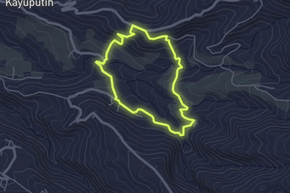
Easy · Trail
Rice Fields Route
4.7 km · ↑ 216 m · 1 h 39 min
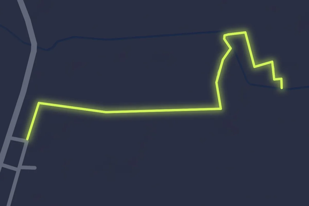
Easy · Trail
Tanggul
2.7 km · ↑ 4 m · 38 min
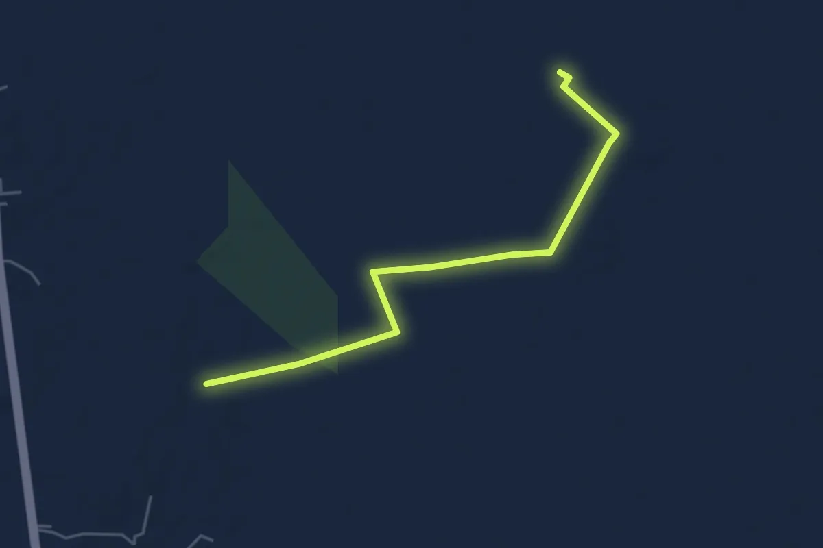
Easy · Trail
Tanggul
6.8 km · ↑ 5 m · 1 h 36 min
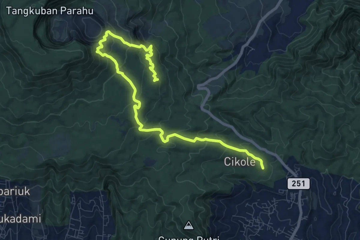
Demanding · Trail
Tangkuban Parahu
16.6 km · ↑ 892 m · 5 h 51 min
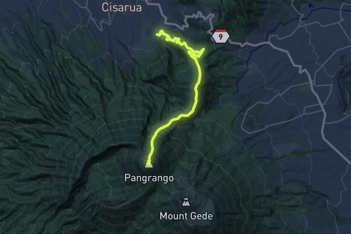
Demanding · Summit
Tele Selatan to Sukatani
26.9 km · ↑ 2671 m · 12 h 9 min
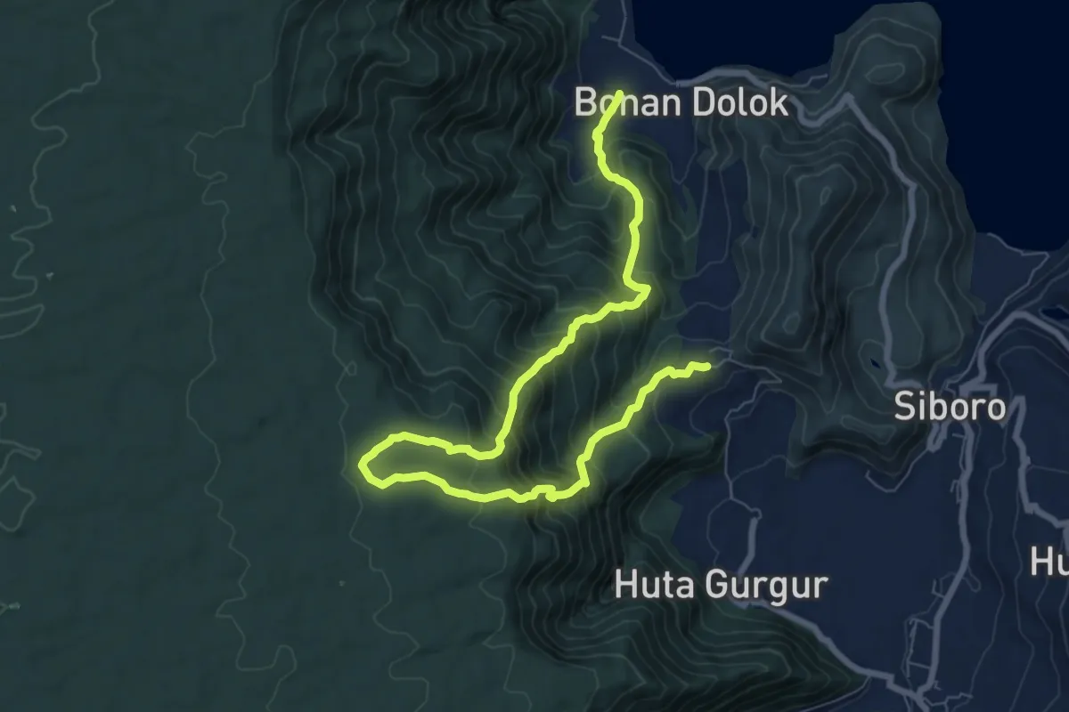
Demanding · Trail
TOTK course
14.1 km · ↑ 1223 m · 5 h 59 min
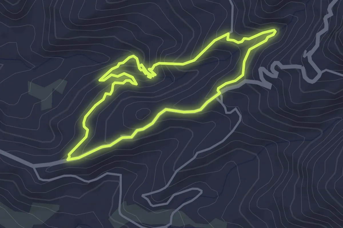
Easy · Trail
Waterfalls Route
4.7 km · ↑ 280 m · 1 h 48 min
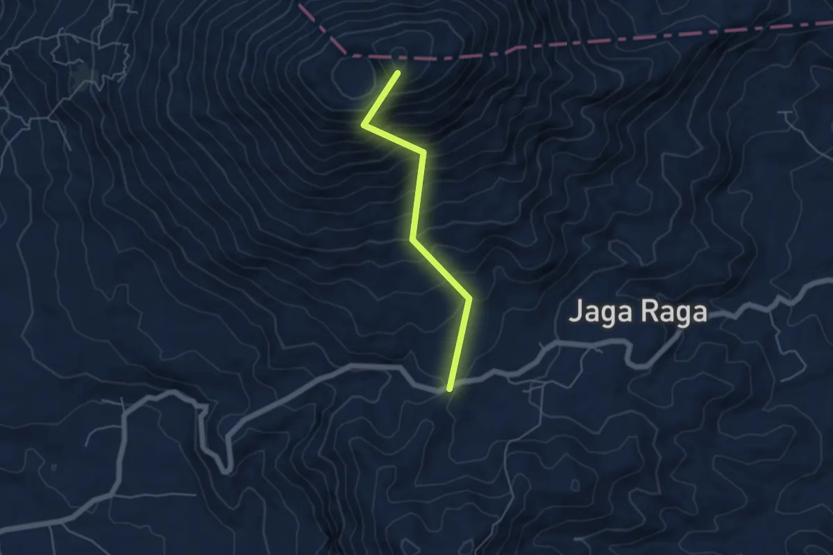
Demanding · Summit
POS 4 – Gunung Seminung
5.8 km · ↑ 806 m · 3 h 8 min