Trails near Acquapendente
28 hikes starting within 15 km, nearest first.
Nearest first
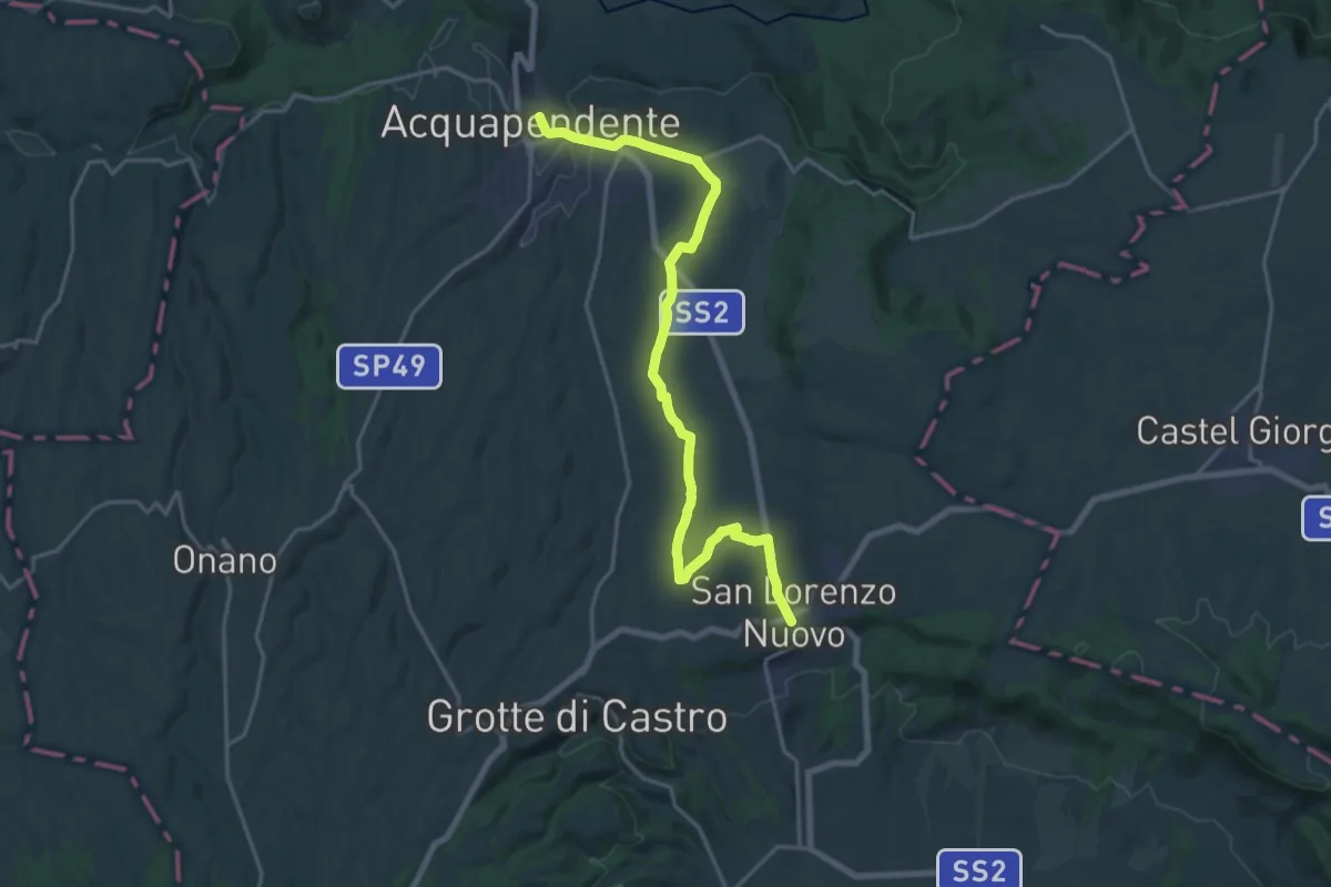
Demanding · Trail
Acquapendente – San Lorenzo Nuovo
22.3 km · ↑ 155 m · 5 h 36 min · under 1 km away
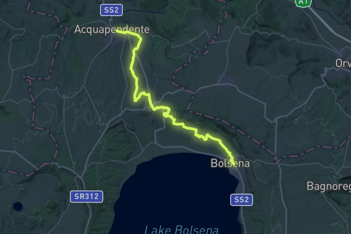
Demanding · Trail
Romea Strata in Italia - Tappa RSIT41
22.8 km · ↑ 266 m · 6 h 18 min · under 1 km away
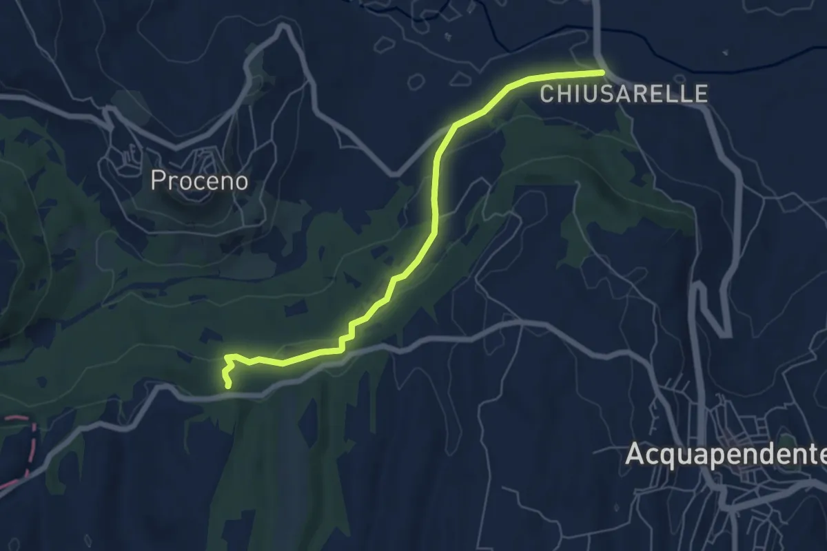
Easy · Trail
Sentiero dei Briganti Tappa 2
6.3 km · ↑ 174 m · 1 h 52 min · 3 km away
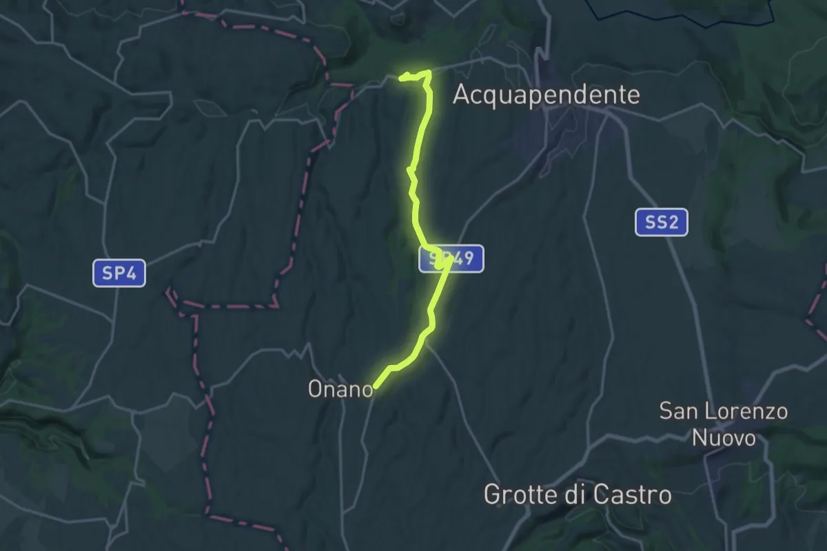
Medium · Trail
Sentiero dei Briganti Tappa 3
16.4 km · ↑ 165 m · 4 h 14 min · 3 km away
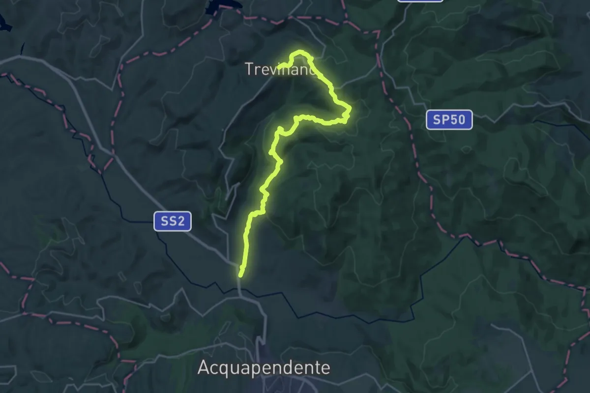
Demanding · Trail
Trevinano – Podere il Ponte
23.8 km · ↑ 743 m · 7 h 14 min · 3 km away
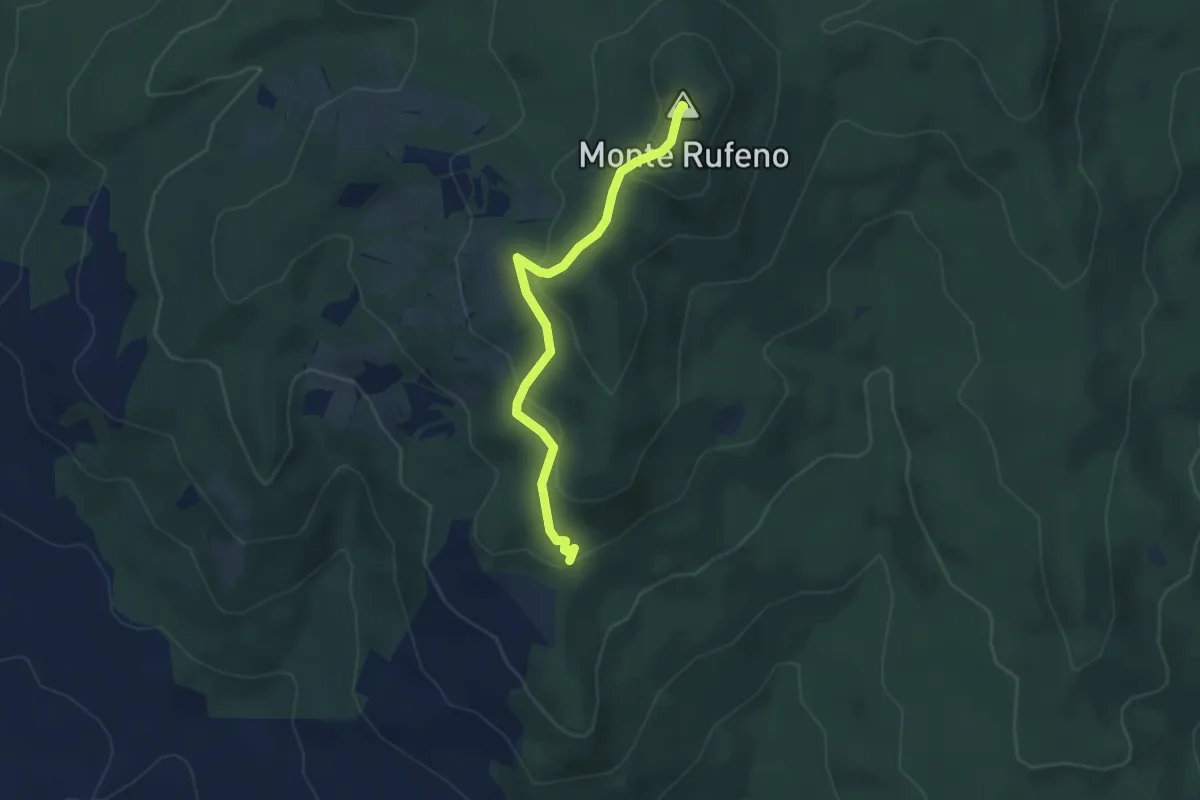
Easy · Summit
Monte Rufeno
3.9 km · ↑ 160 m · 1 h 16 min · 4 km away
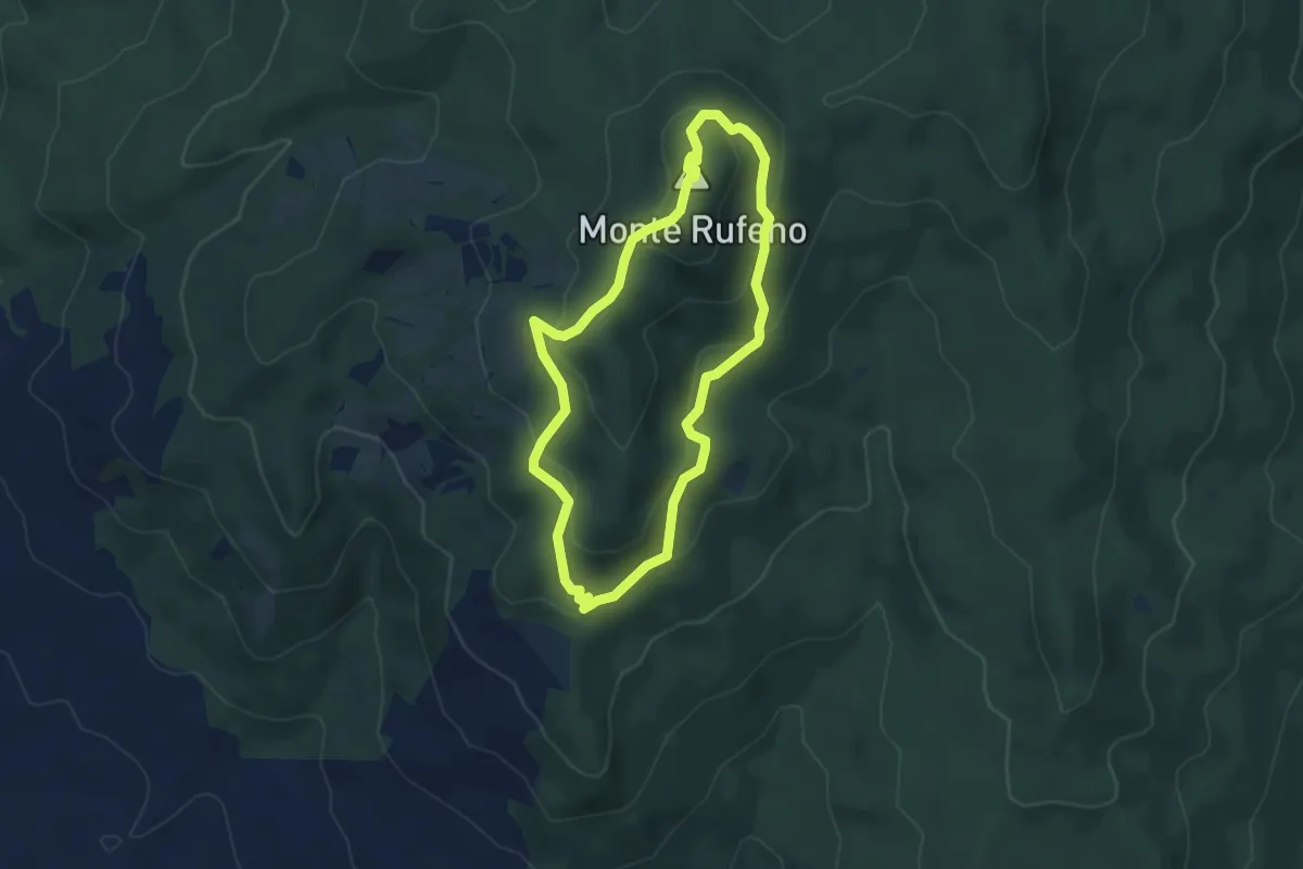
Easy · Summit
Monte Rufeno
4.4 km · ↑ 177 m · 1 h 29 min · 5 km away
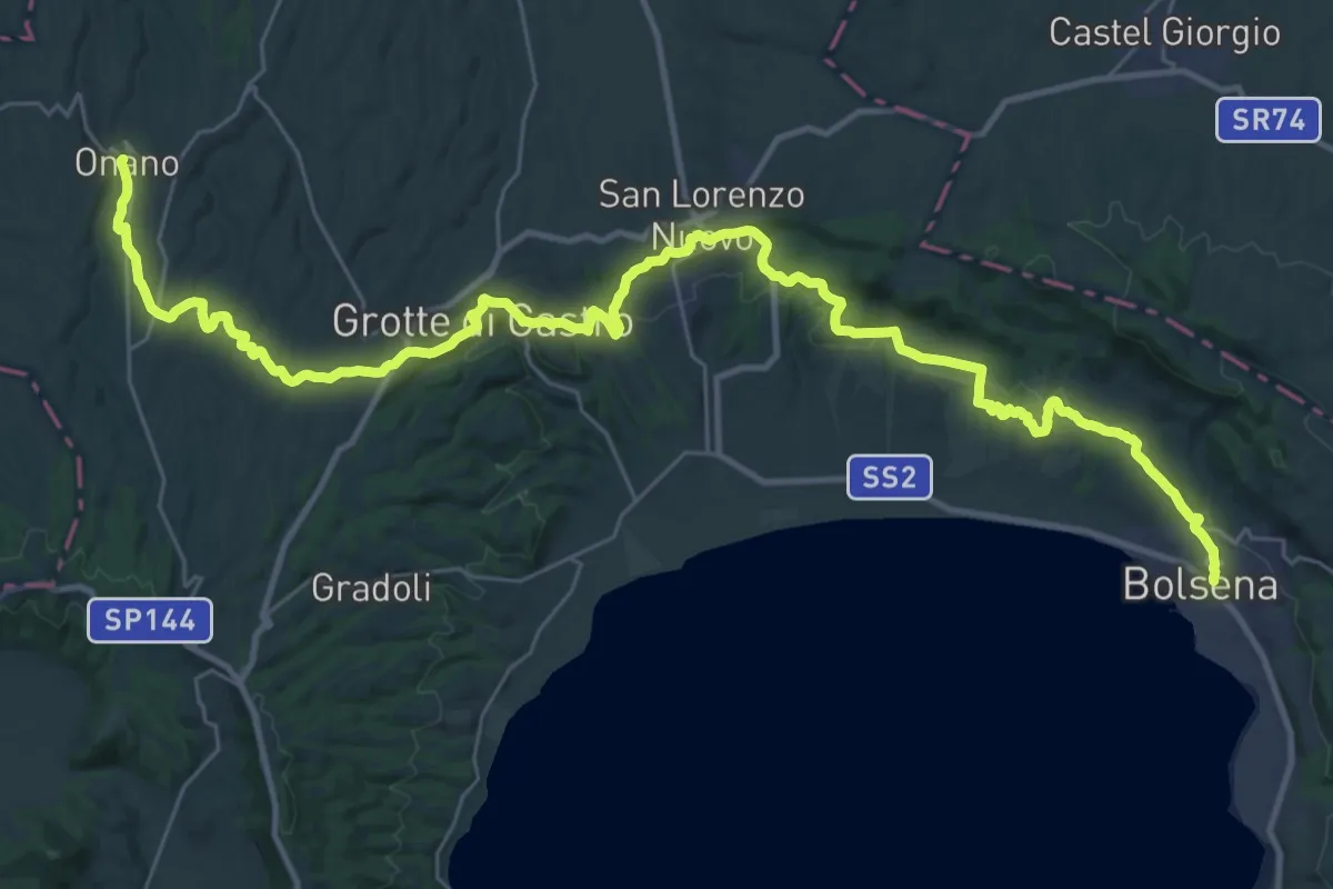
Demanding · Trail
Italia Coast to Coast tappa 13
23.0 km · ↑ 370 m · 6 h 38 min · 7 km away
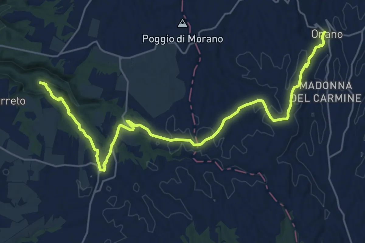
Demanding · Summit
Italia Coast to Coast tappa 14
19.6 km · ↑ 277 m · 5 h 14 min · 7 km away
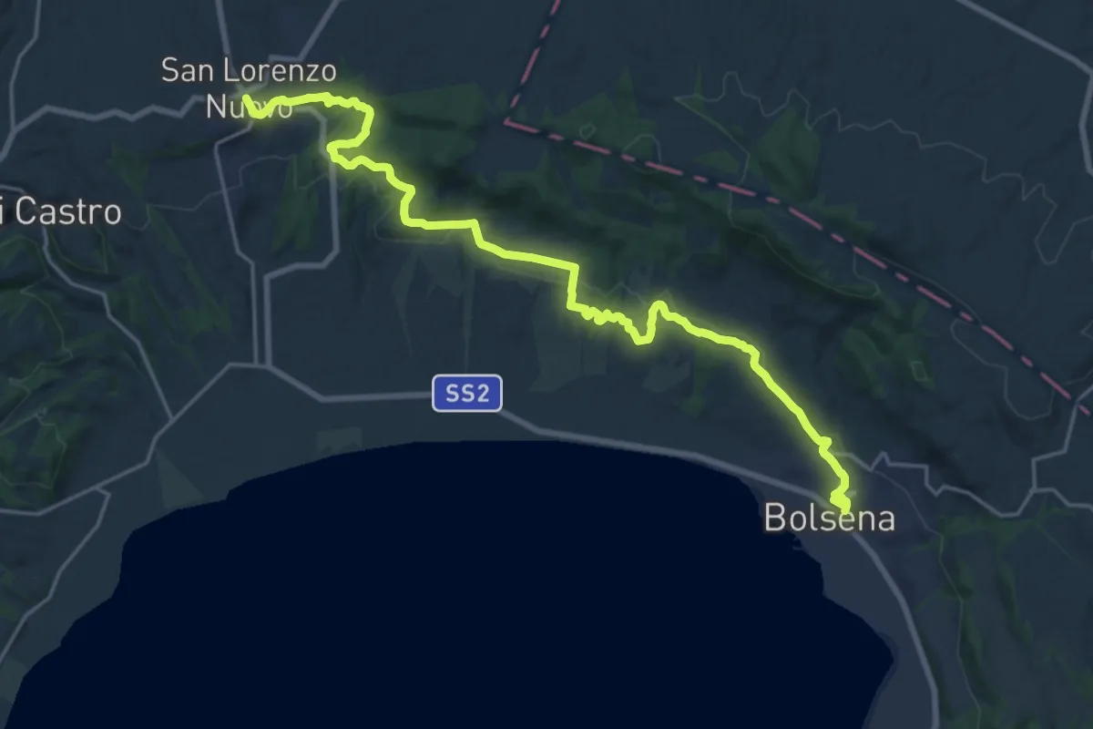
Demanding · Trail
San Lorenzo Nuovo – Bolsena
24.1 km · ↑ 455 m · 6 h 41 min · 7 km away
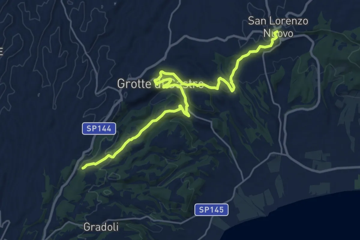
Demanding · Trail
Sentiero dei Briganti – San Lorenzo Nuovo
20.2 km · ↑ 532 m · 5 h 55 min · 7 km away
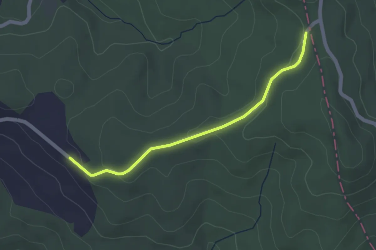
Easy · Trail
Percorso146 – Casale La Monaldesca
3.6 km · ↑ 68 m · 1 h · 8 km away
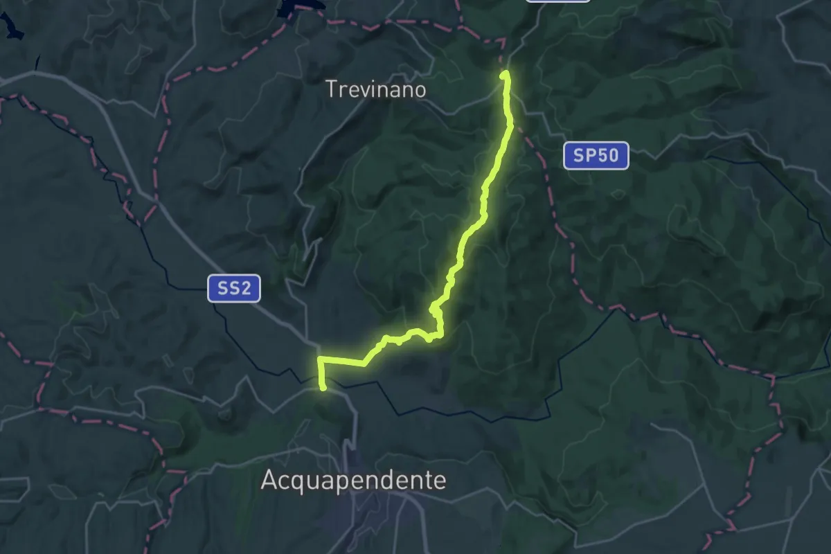
Demanding · Trail
Sentiero dei Briganti Tappa 1
22.2 km · ↑ 654 m · 6 h 40 min · 10 km away
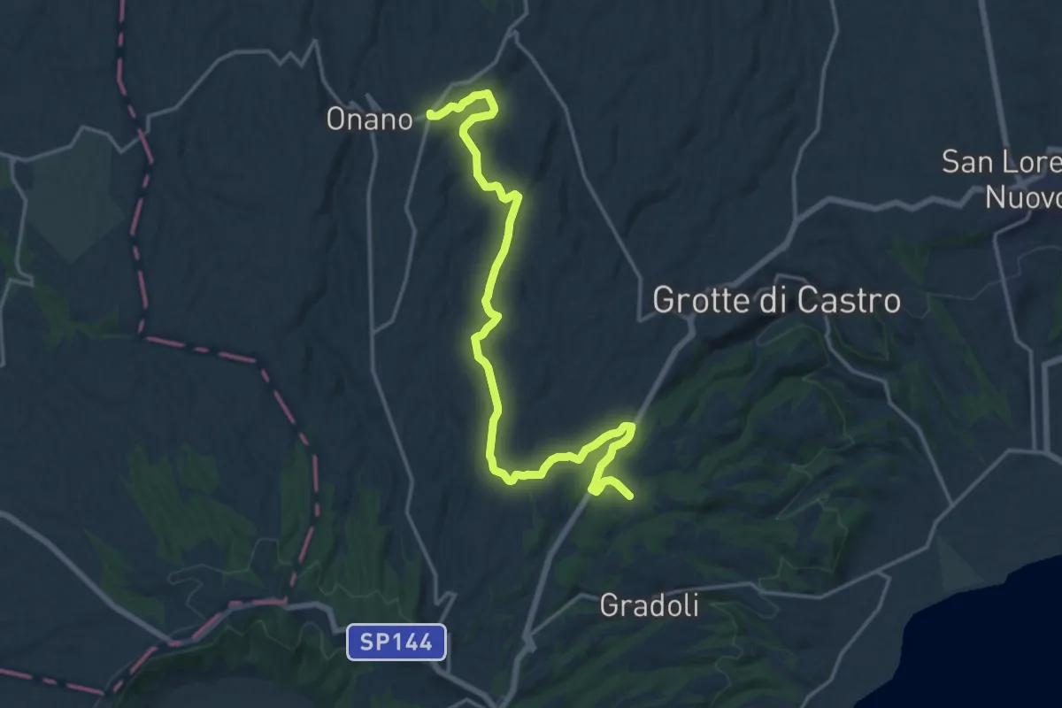
Demanding · Trail
Sentiero dei Briganti Tappa 4
18.7 km · ↑ 241 m · 4 h 56 min · 10 km away
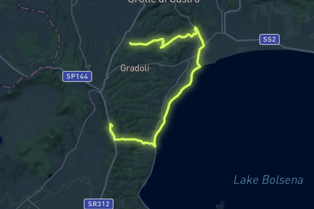
Demanding · Summit
Sentiero dei Briganti Tappa 5
29.4 km · ↑ 575 m · 8 h 11 min · 10 km away
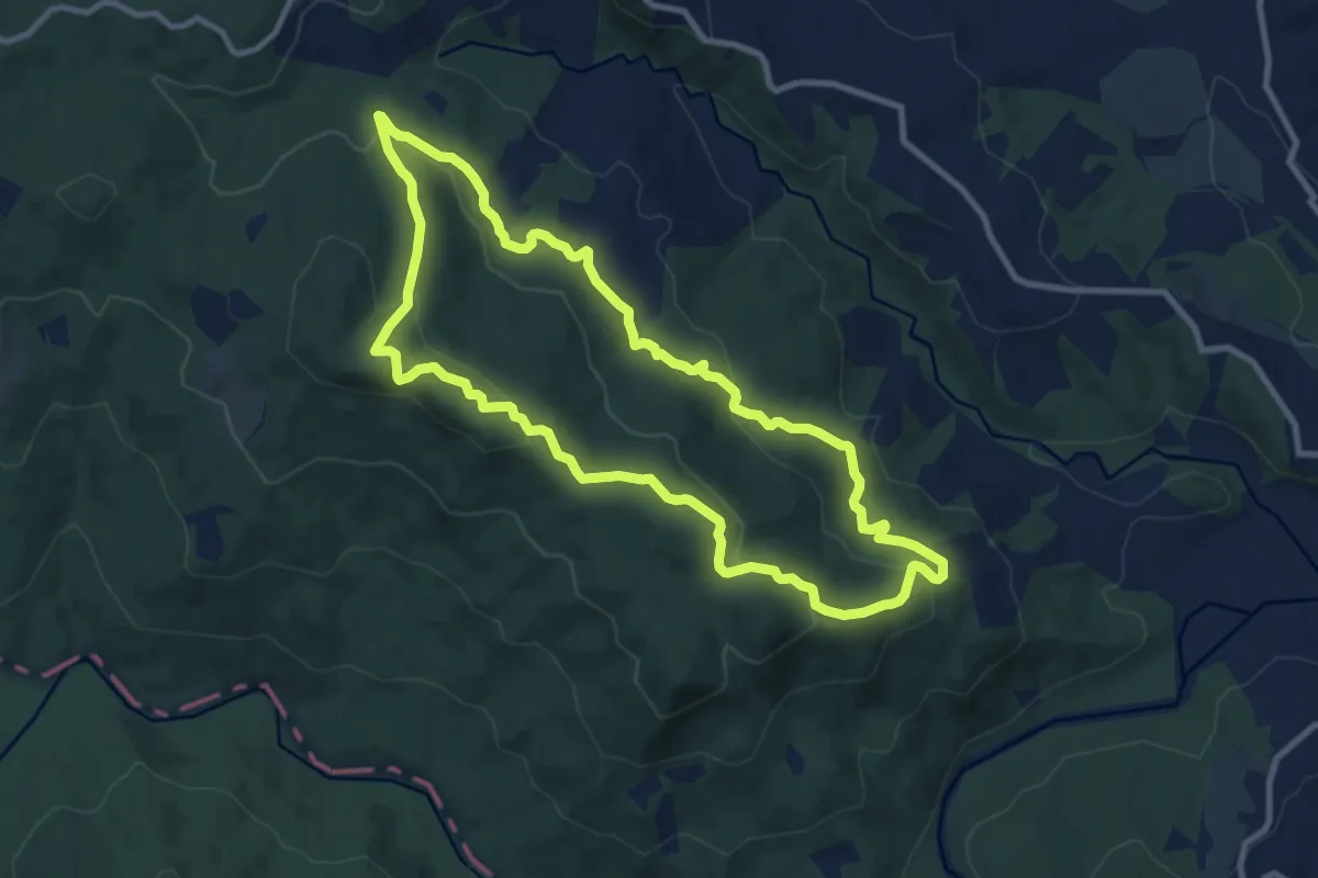
Medium · Trail
Anello di Meana
10.4 km · ↑ 381 m · 3 h 26 min · 11 km away
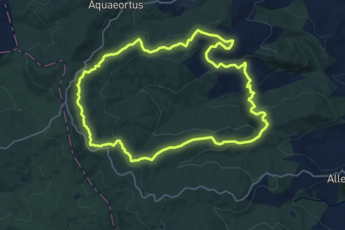
Medium · Trail
Anello di Villalba
12.9 km · ↑ 391 m · 4 h 4 min · 11 km away
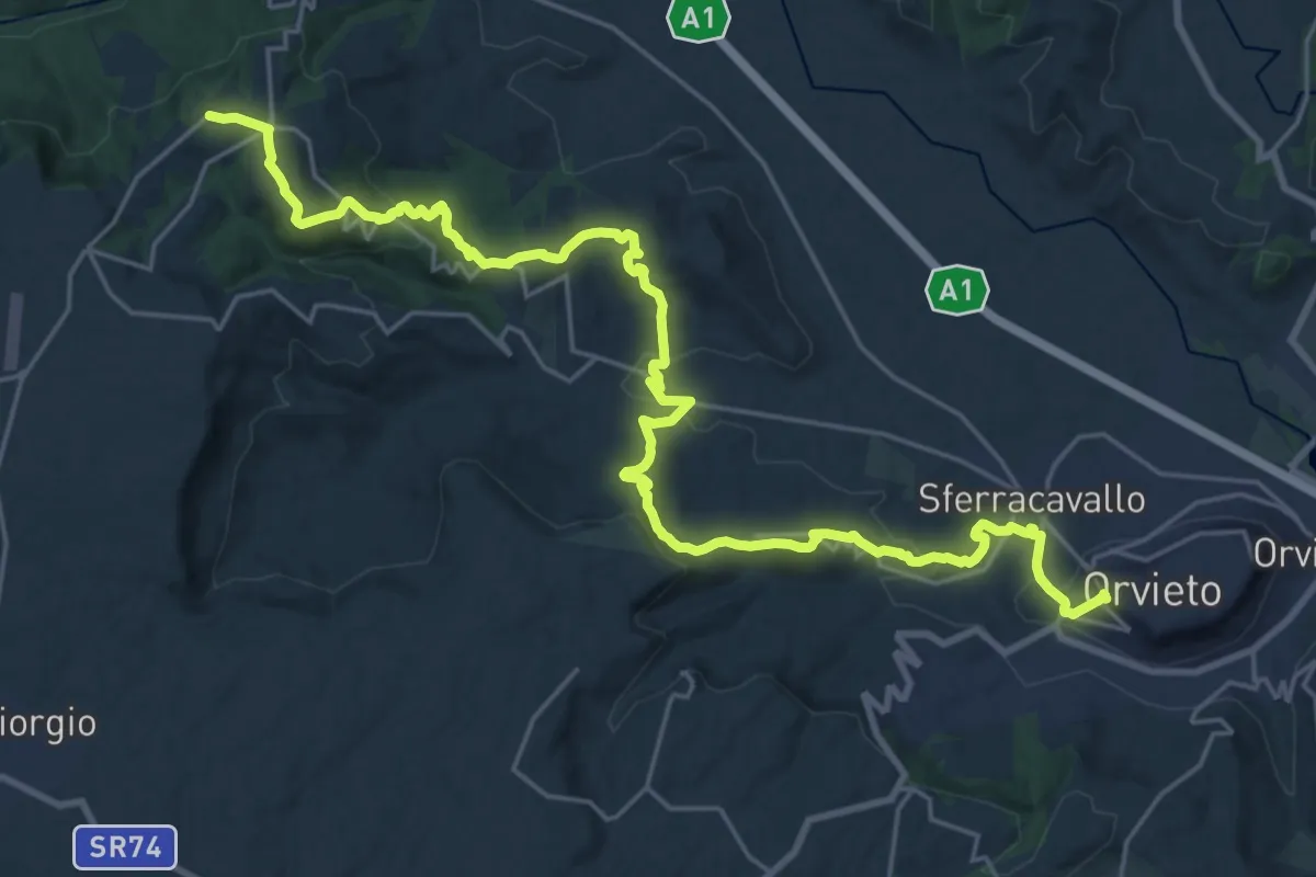
Medium · Trail
Castel Viscardo – Orvieto
15.4 km · ↑ 410 m · 4 h 51 min · 12 km away
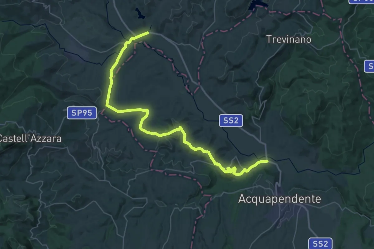
Demanding · Pilgrim path
Via Francigena - Variante Proceno
18.4 km · ↑ 282 m · 5 h 14 min · 12 km away
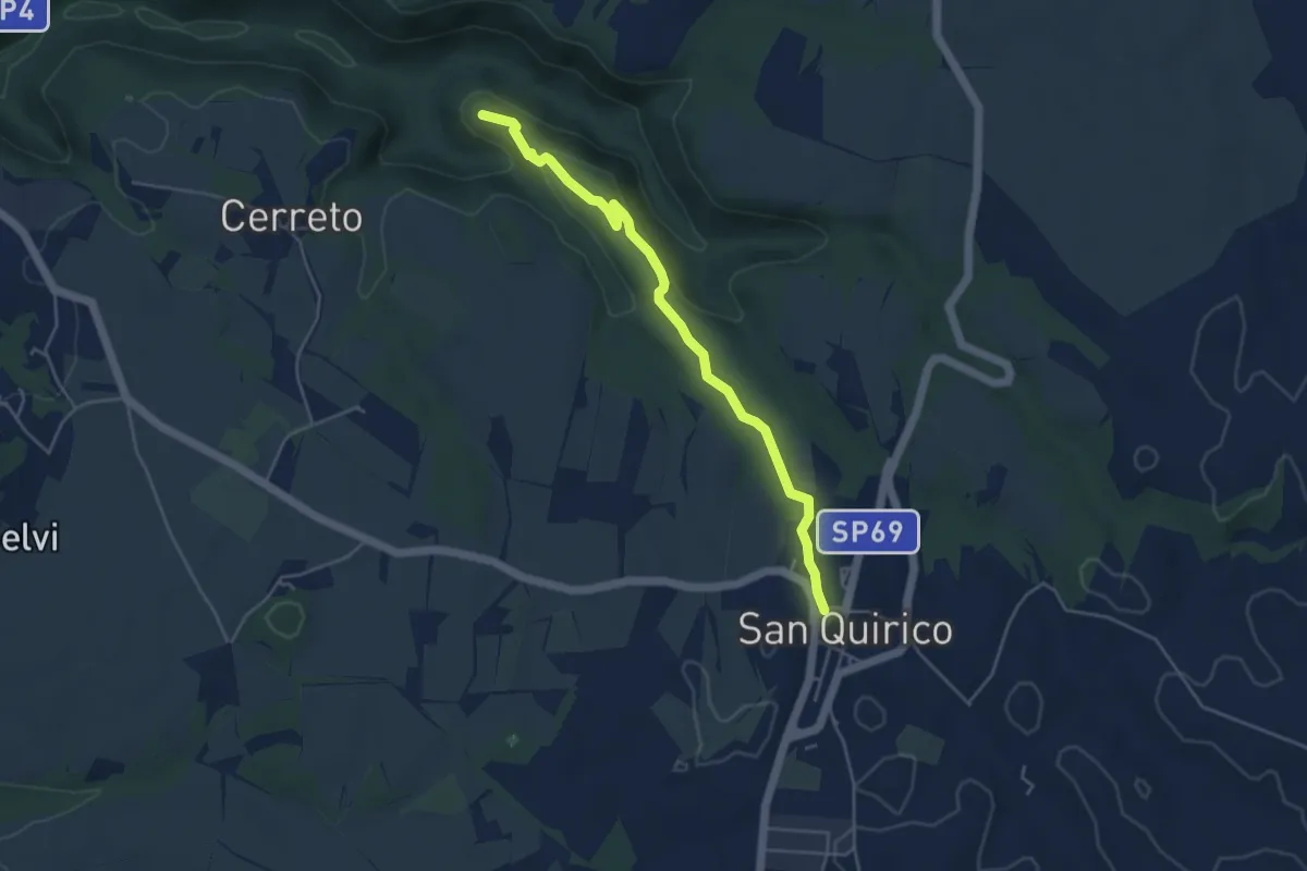
Easy · Summit
Primitivo
4.9 km · ↑ 110 m · 1 h 23 min · 12 km away
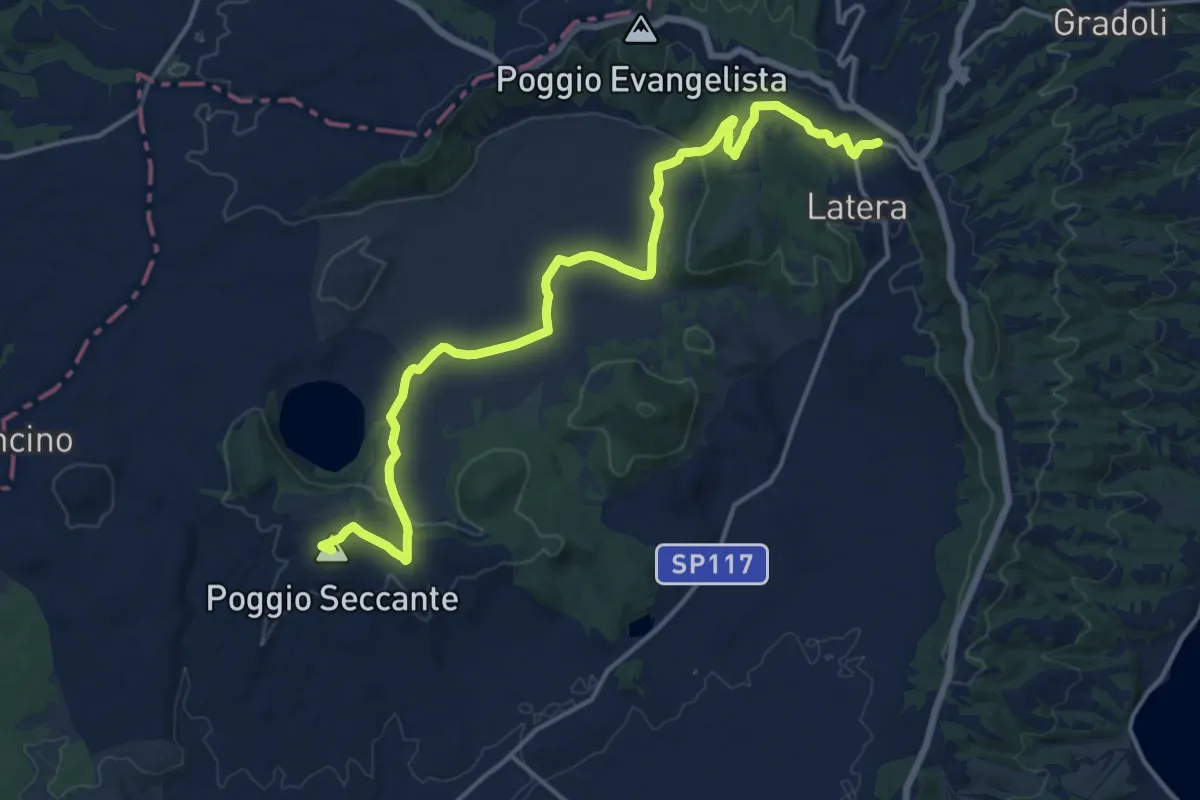
Demanding · Summit
Sentiero dei Briganti Tappa 6
19.4 km · ↑ 344 m · 5 h 20 min · 13 km away
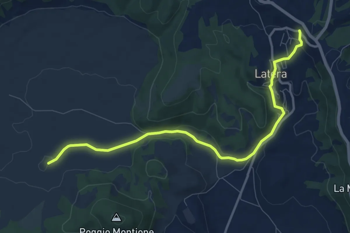
Medium · Trail
Sentiero dei Briganti – Latera
9.5 km · ↑ 249 m · 2 h 47 min · 13 km away
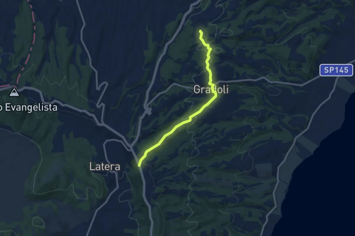
Easy · Trail
Sentiero dei Briganti direzione Latera – Sentiero dei Briganti direzione Grotte di Castro
7.9 km · ↑ 228 m · 2 h 21 min · 13 km away
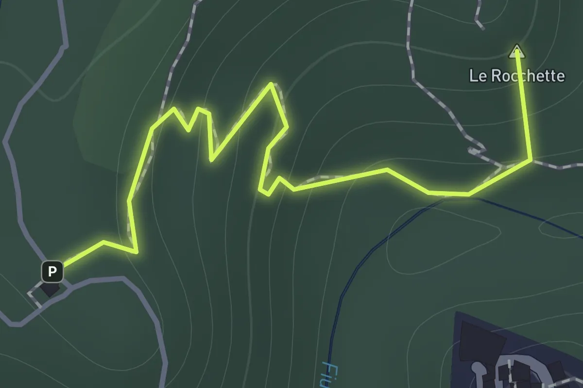
Easy · Summit
Via Cava di San Rocco
1.3 km · ↑ 85 m · 30 min · 14 km away
Easy · Summit
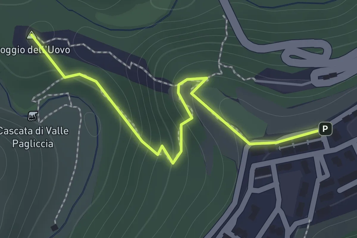
Valle Pagliccia
1.7 km · ↑ 124 m · 40 min · 14 km away
Medium · Trail
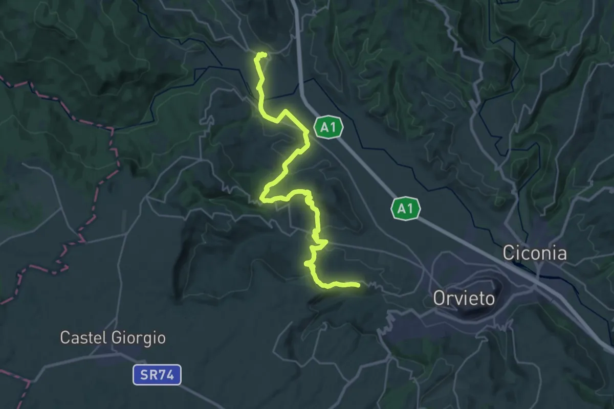
Allerona Scalo – Rocca Ripesena
14.2 km · ↑ 423 m · 4 h 23 min · 15 km away
Demanding · Summit
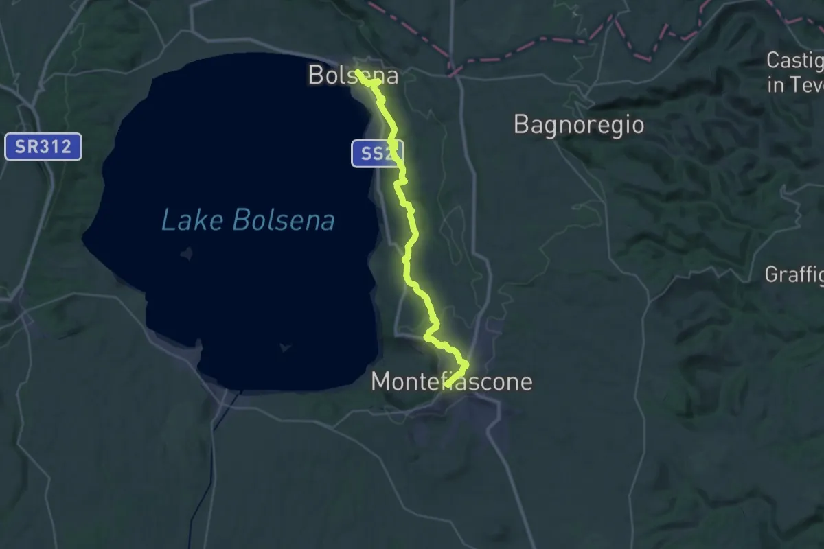
Bolsena – Montefiascone
33.7 km · ↑ 766 m · 9 h 37 min · 15 km away
Medium · Trail
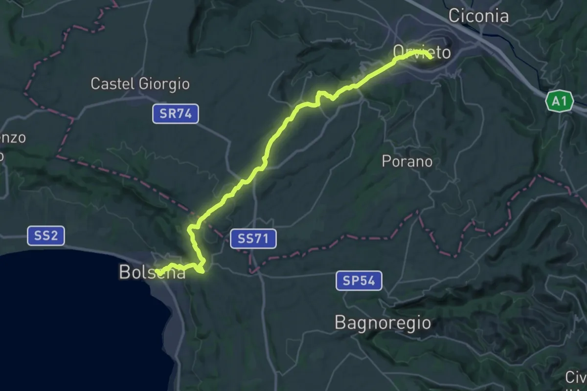
Italia Coast to Coast tappa 12
17.2 km · ↑ 485 m · 5 h 21 min · 15 km away