Trails near Agliana
117 hikes starting within 15 km, nearest first.
Nearest first, page 3 of 3
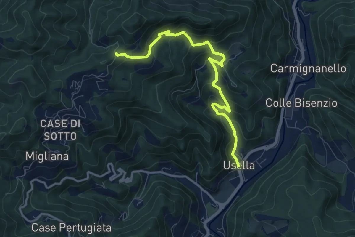
Medium · Trail
Usella – Tabernacolo Crocetta al Canvella
8.7 km · ↑ 528 m · 3 h 13 min · 14 km away
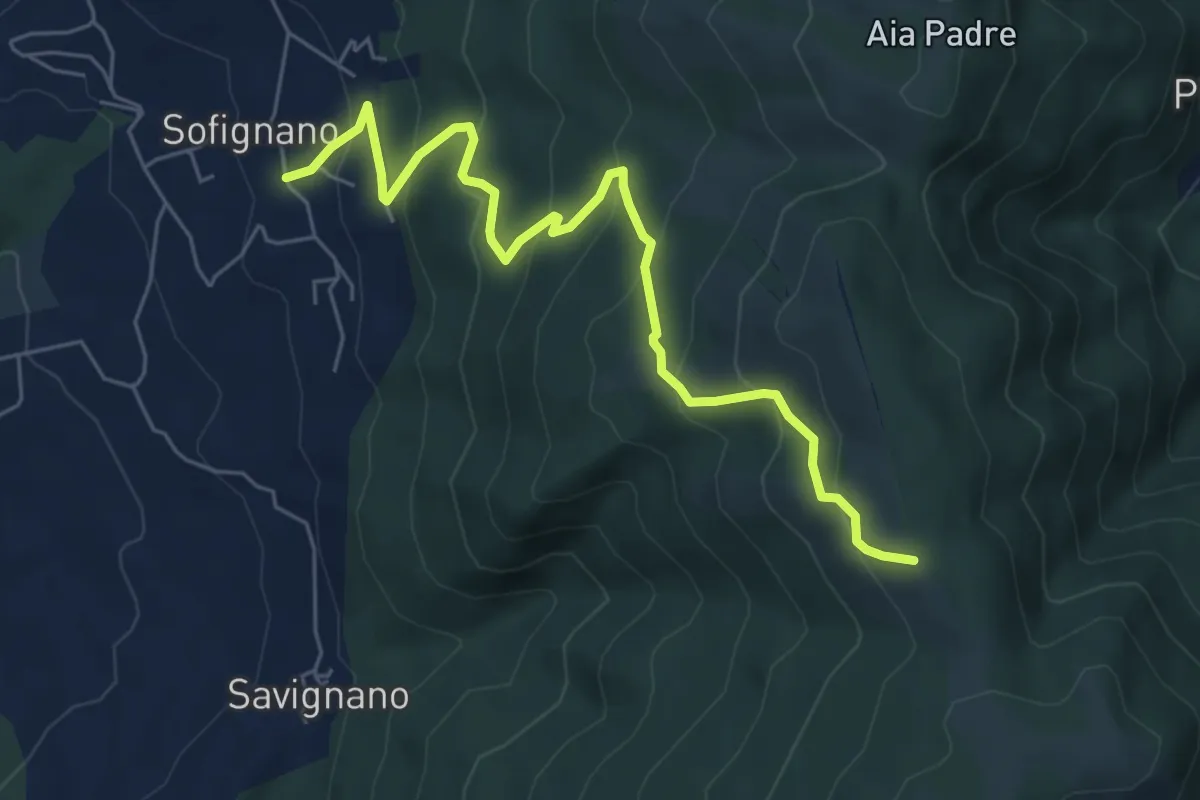
Medium · Trail
Vaiano (località Le Mura) – Poggio Mandrione/Massipiani
6.8 km · ↑ 477 m · 2 h 38 min · 14 km away
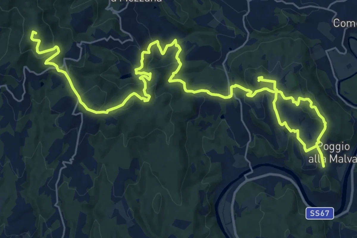
Demanding · Summit
Tappa 2: Artimino - Bacchereto
33.2 km · ↑ 1329 m · 10 h 43 min · 14 km away
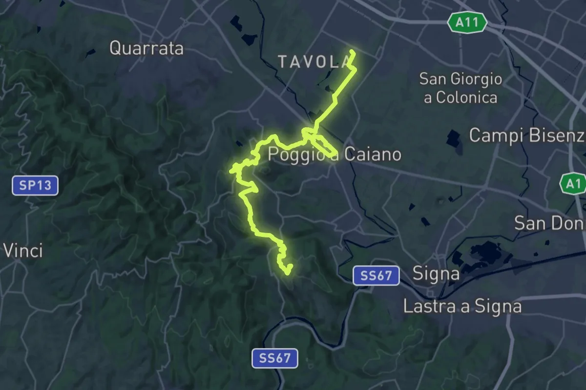
Medium · Trail
Tappa 1: Prato - Artimino
17.8 km · ↑ 389 m · 5 h 24 min · 14 km away
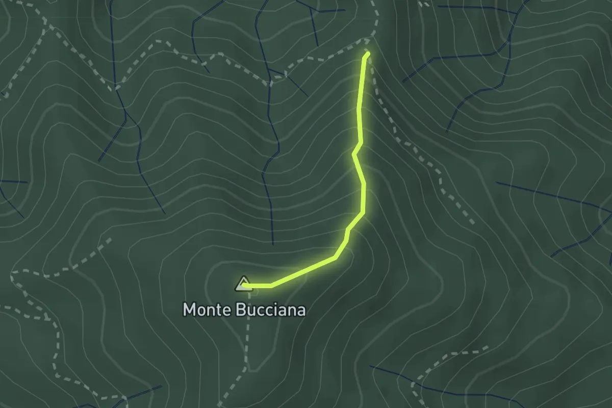
Demanding · Summit
foce di Cerbiancana – Le Cerchiaia/Fregionaia
1.5 km · ↑ 251 m · 54 min · 14 km away
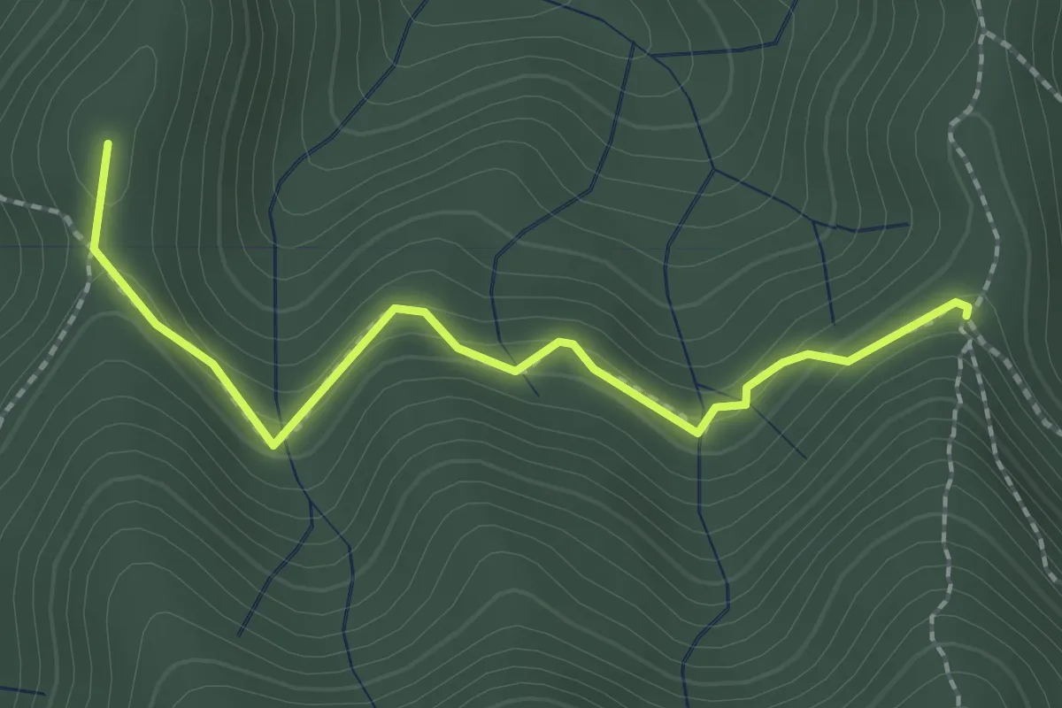
Medium · Summit
Sella della Scavata – Fregionaia
2.3 km · ↑ 98 m · 45 min · 14 km away
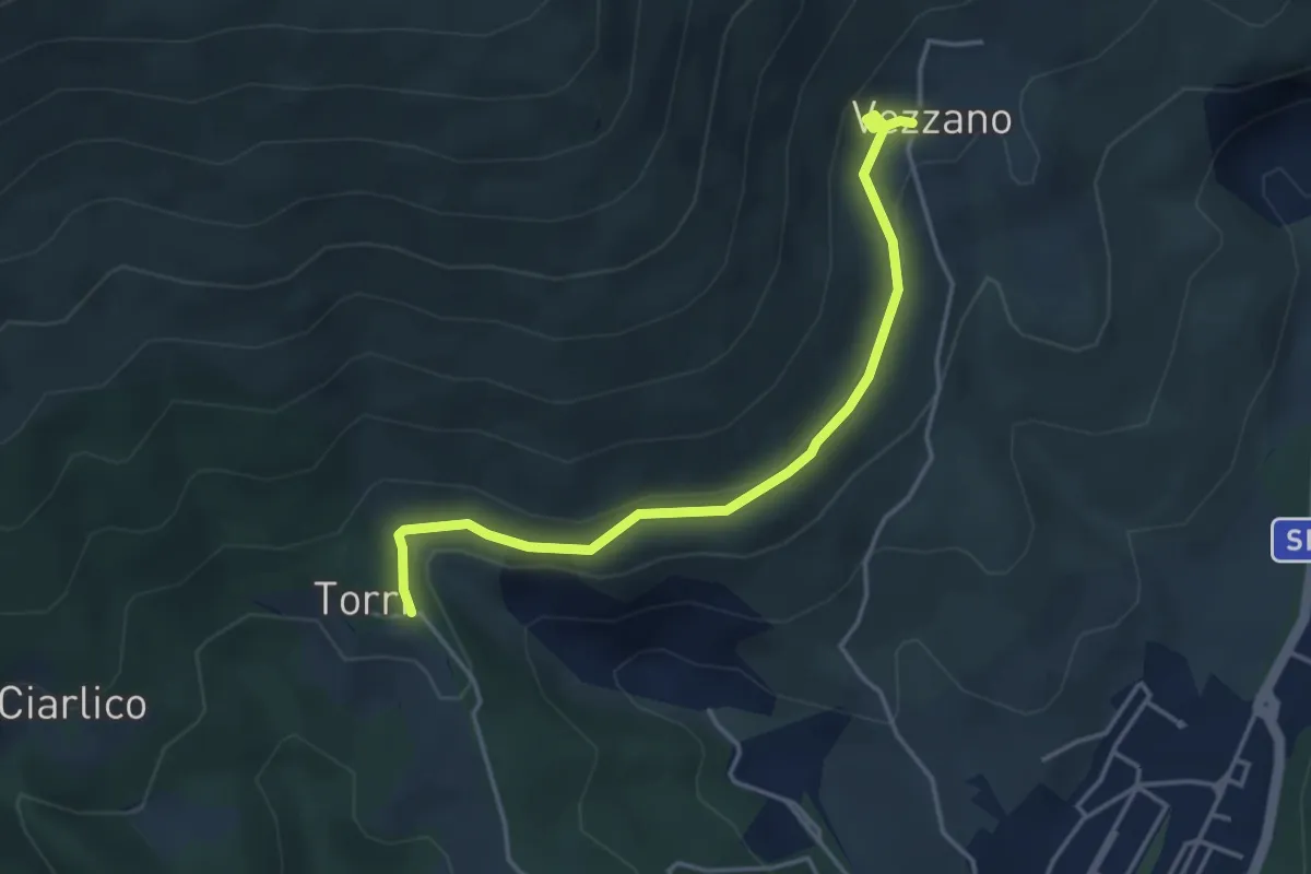
Easy · Trail
Torri di Carraia – Vezzano
4.2 km · ↑ 85 m · 1 h 10 min · 14 km away
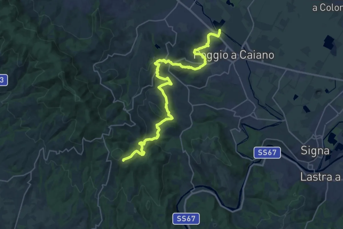
Medium · Trail
Cassa espansione Taglianico – Casenuove
12.8 km · ↑ 340 m · 4 h 7 min · 14 km away
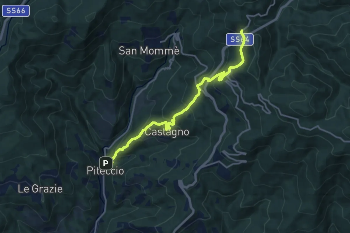
Demanding · Trail
Piteccio – Passo della Collina
10.9 km · ↑ 832 m · 4 h 23 min · 14 km away
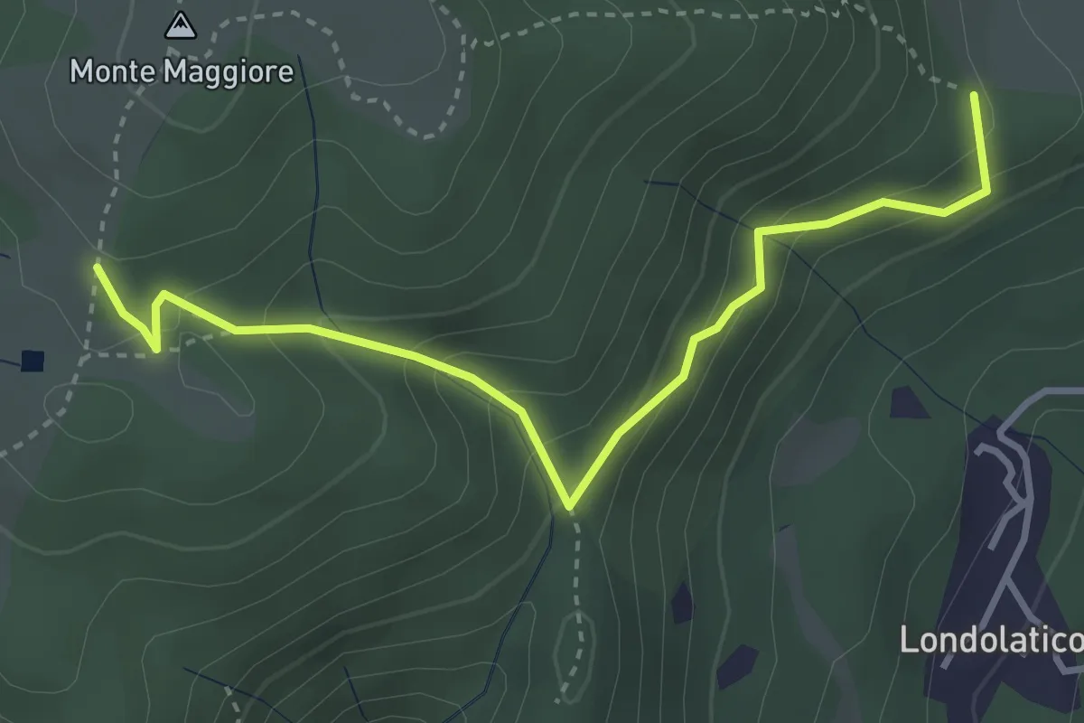
Easy · Summit
Campiano – Conconi di monte Maggiore
3.8 km · ↑ 293 m · 1 h 32 min · 14 km away
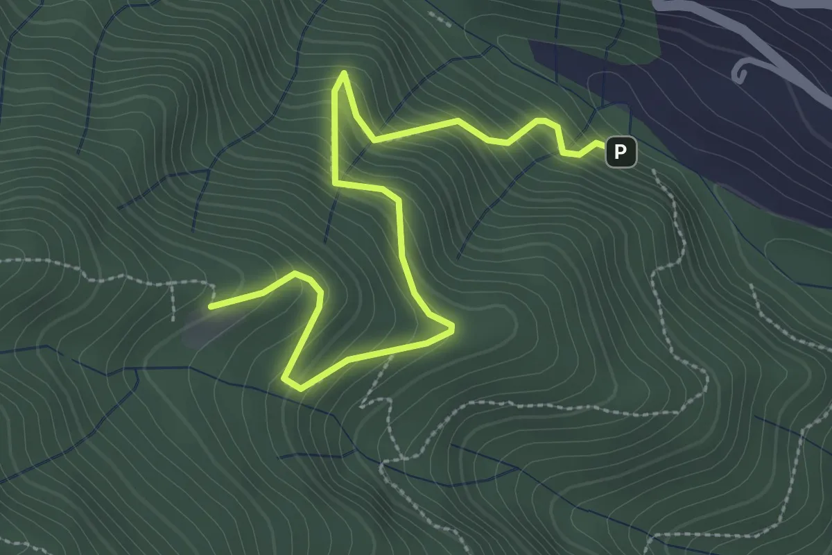
Medium · Cabin
Ponte di Cantagallo – Cascina di Cave
3.5 km · ↑ 398 m · 1 h 42 min · 14 km away
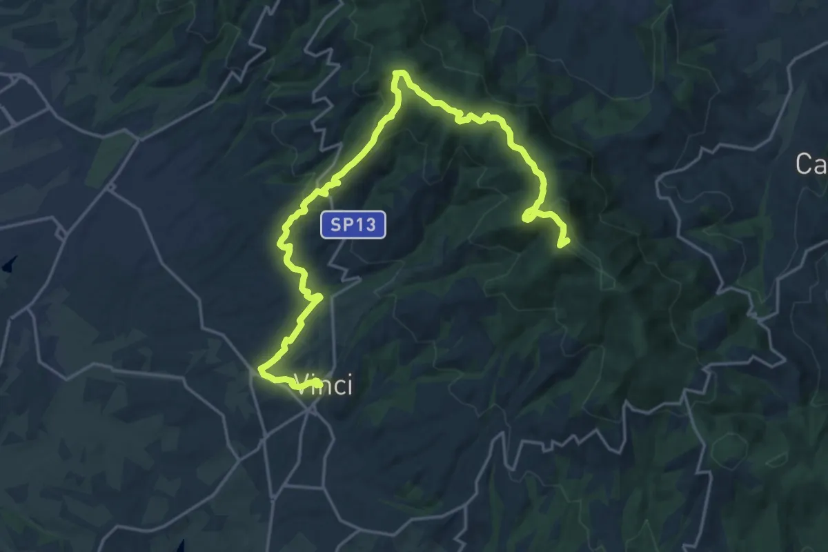
Demanding · Summit
Tappa 3: Bacchereto - Vinci
23.1 km · ↑ 847 m · 7 h 17 min · 14 km away
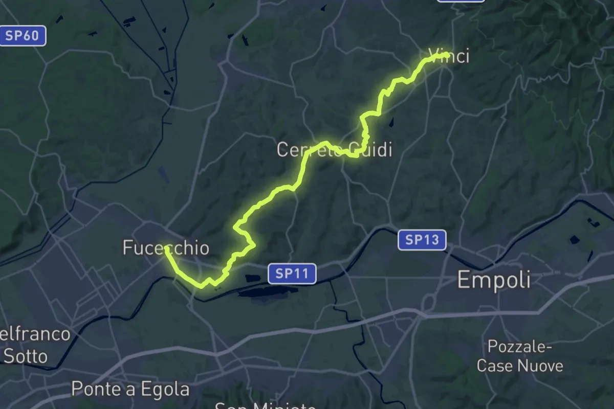
Medium · Trail
Tappa 4: Vinci - Fucecchio
17.7 km · ↑ 294 m · 5 h 5 min · 14 km away
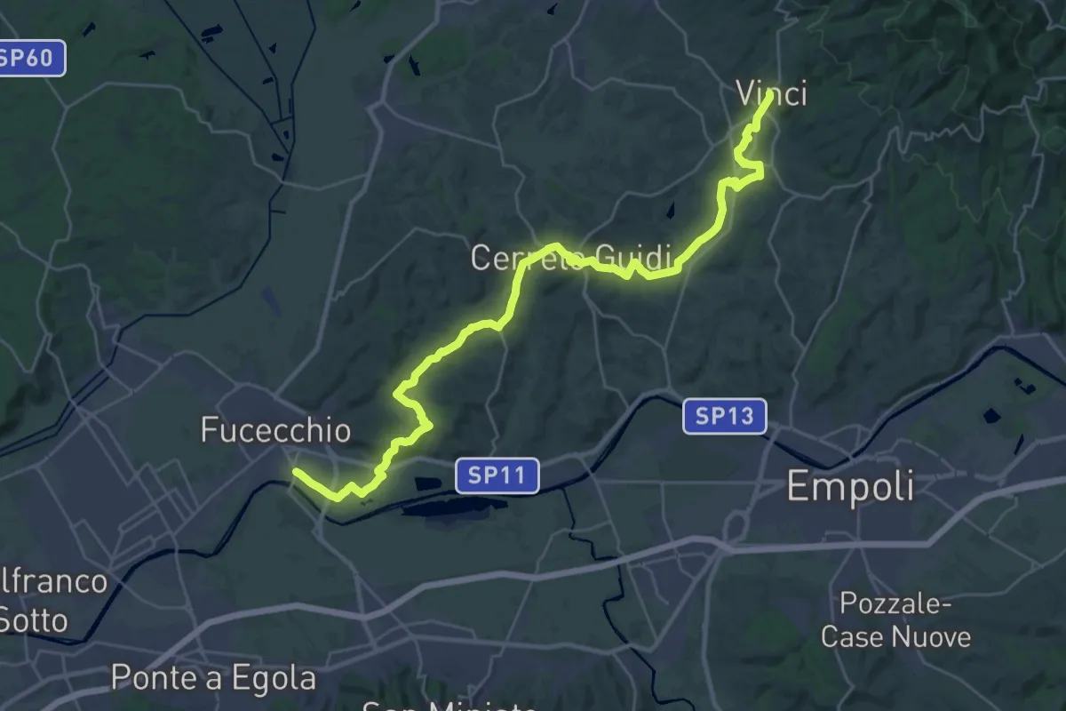
Medium · Trail
Tappa 1 - Da Fucecchio a Vinci
17.5 km · ↑ 243 m · 4 h 57 min · 14 km away
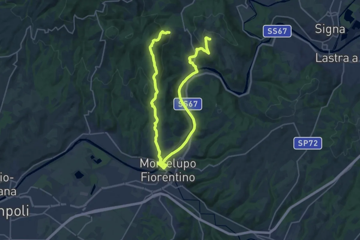
Demanding · Trail
Anello di Capraia e Montelupo
26.9 km · ↑ 586 m · 7 h 37 min · 14 km away
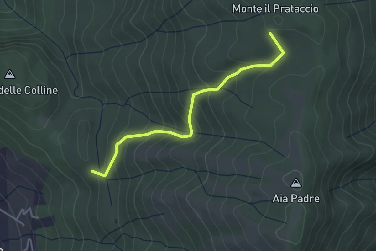
Easy · Summit
Pian dei Bianchi – Il Corso
3.4 km · ↑ 222 m · 1 h 17 min · 14 km away
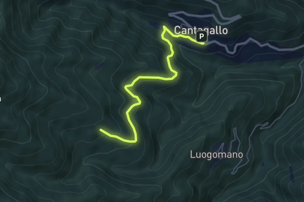
Medium · Cabin
Cantagallo – Cerliano
5.7 km · ↑ 388 m · 2 h 12 min · 14 km away
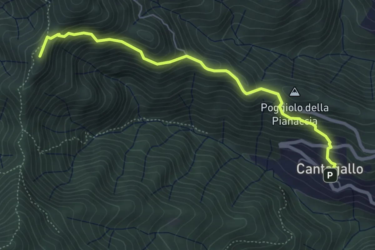
Medium · Summit
Cantagallo – Passo del Treppio
5.5 km · ↑ 466 m · 2 h 19 min · 14 km away
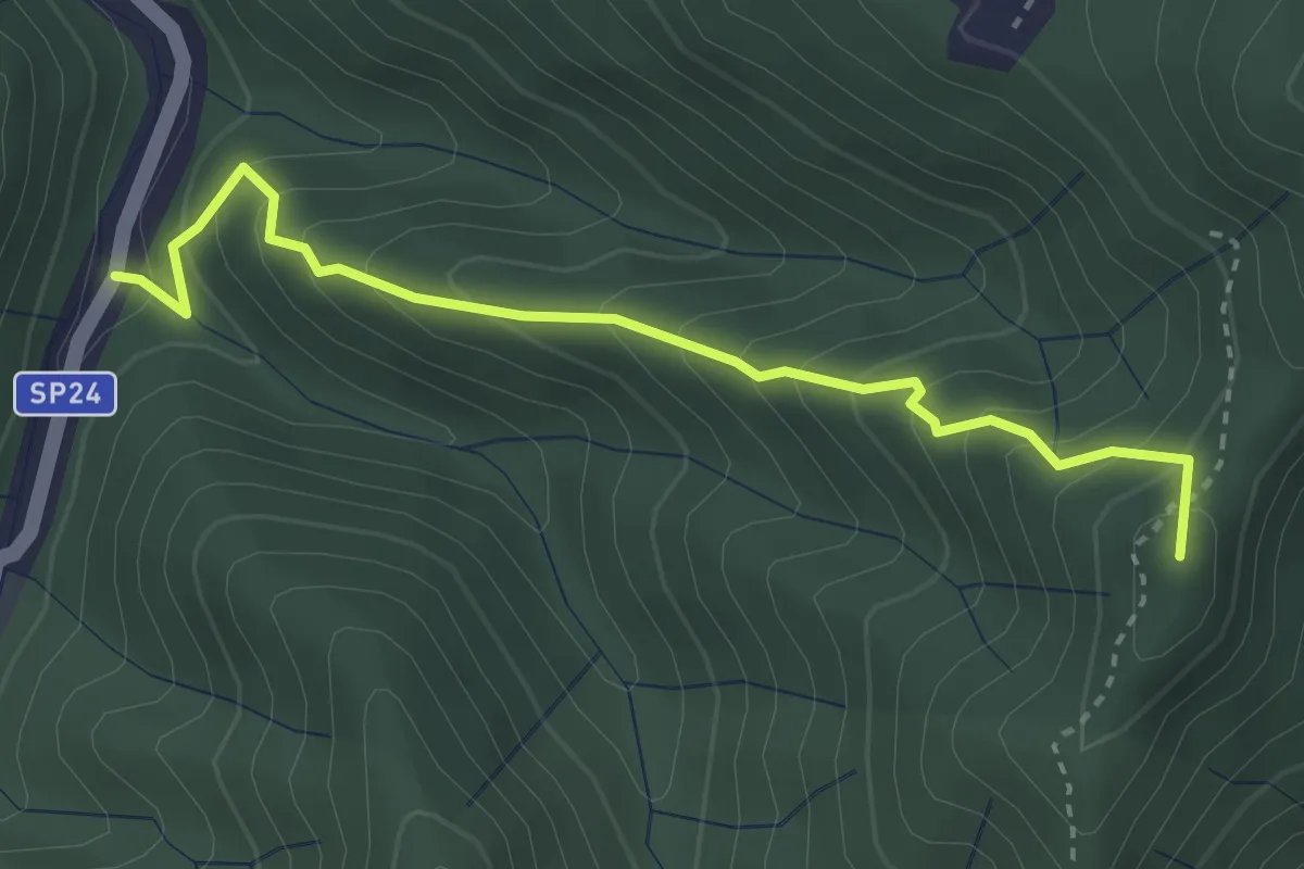
Medium · Summit
Monachino – Passo del Treppio
3.4 km · ↑ 336 m · 1 h 32 min · 15 km away
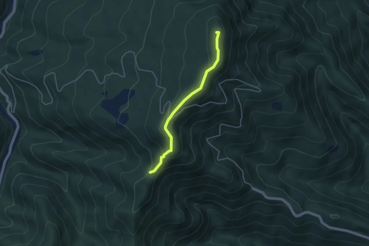
Easy · Summit
Passo di trebbio – Passo delle Pescine
3.2 km · ↑ 176 m · 1 h 9 min · 15 km away
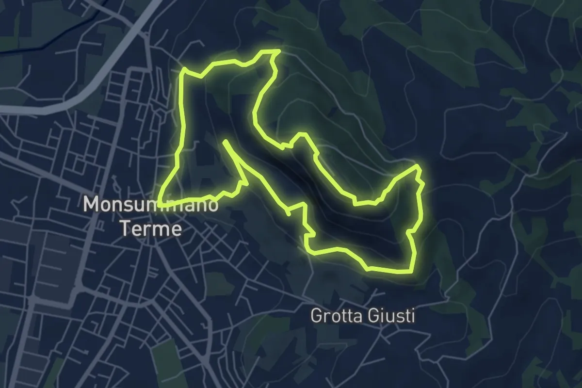
Medium · Summit
Monsummano Terme – Monsummano Terme
6.4 km · ↑ 359 m · 2 h 23 min · 15 km away