Trails near Alba
116 hikes starting within 15 km, nearest first.
Nearest first, page 1 of 3
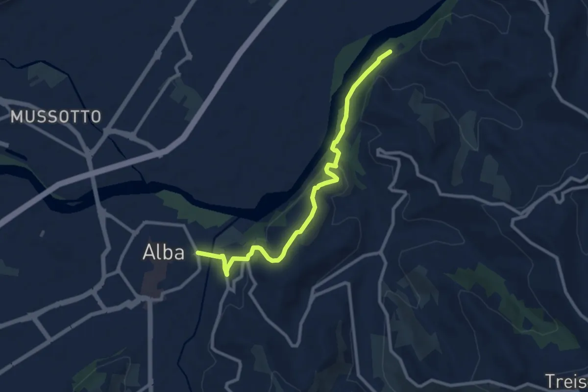
Easy · Trail
Barbaresco, casa Pagliuzzi, bivio CNC313, CNC324 – Alba, viale Cherasca
7.9 km · ↑ 235 m · 2 h 23 min · under 1 km away
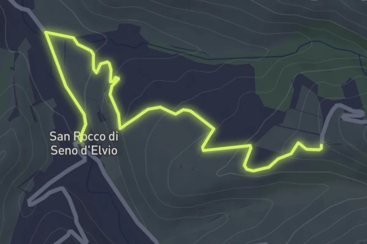
Easy · Trail
San Rocco – Bivio CNC314- CNC314B
5.7 km · ↑ 154 m · 1 h 40 min · 3 km away
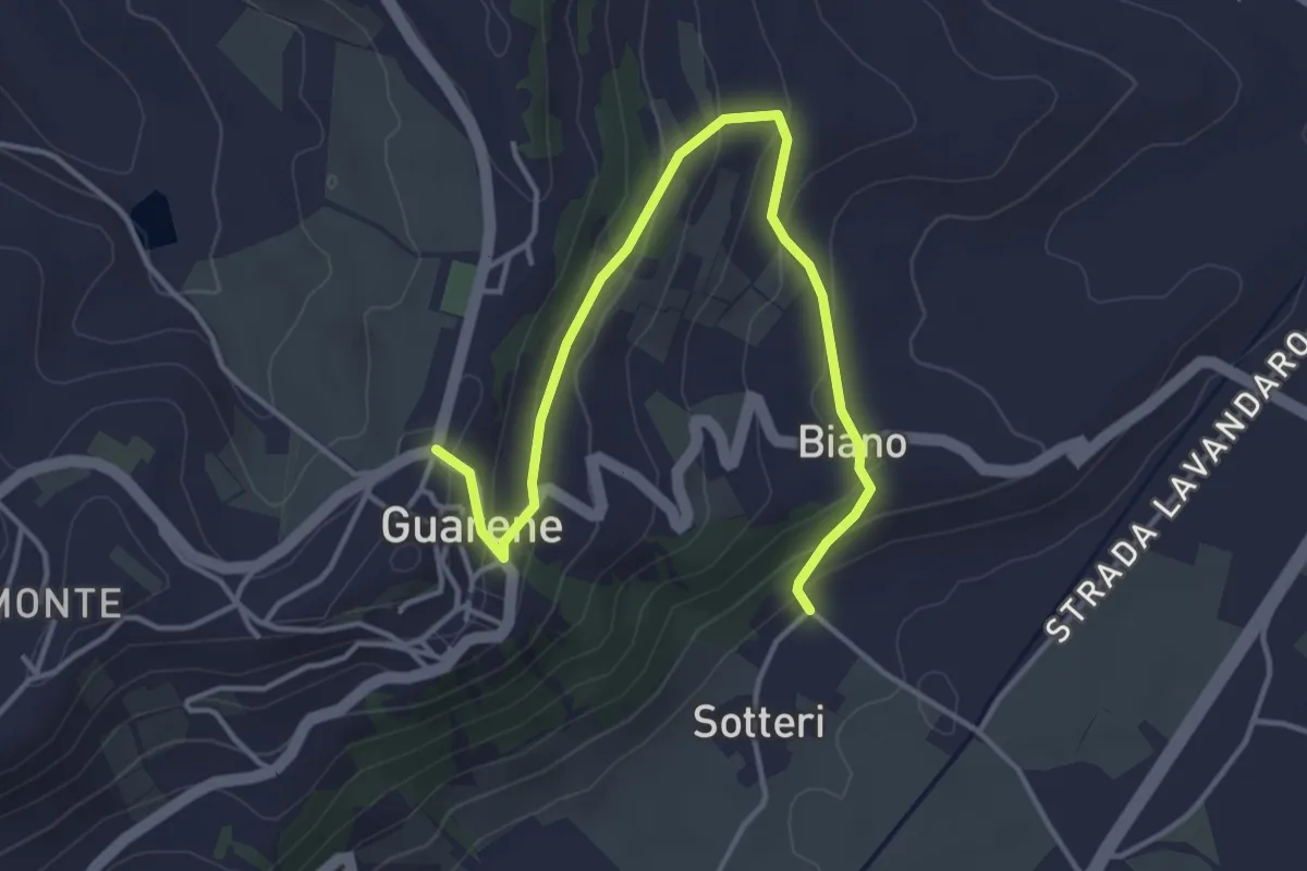
Easy · Trail
Guarene, località Sotteri, bivio CNC408, CNC408C – Guarene, centro paese, bivio CNC408, CNC408C
4.6 km · ↑ 176 m · 1 h 28 min · 4 km away
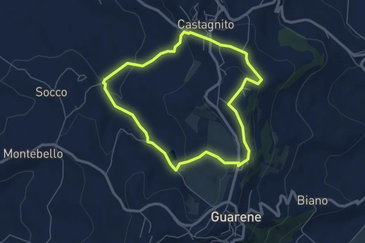
Easy · Trail
Il Sentiero dell'Acino
4.8 km · ↑ 149 m · 1 h 31 min · 5 km away
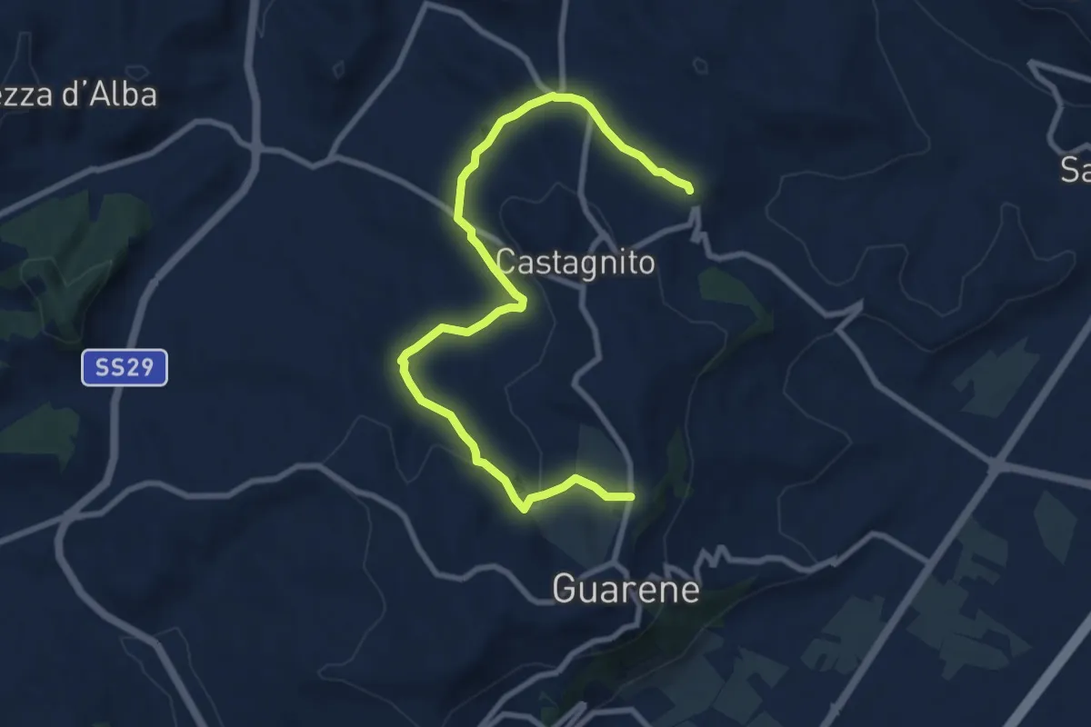
Medium · Trail
Guarene campi sportivi – Cimitero Castagnito
10.1 km · ↑ 225 m · 2 h 52 min · 5 km away
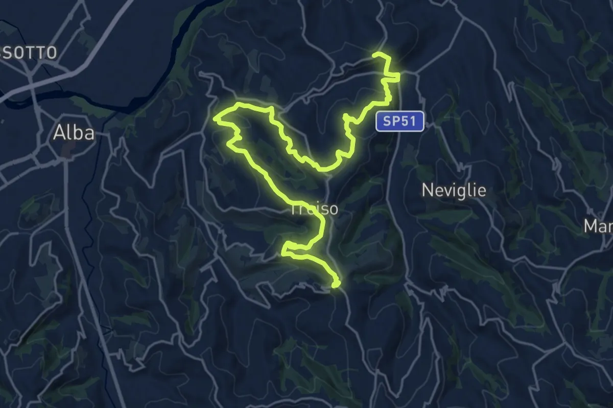
Medium · Trail
Neive, cascina Gavello, bivio CNC313, CNC314 – Treiso, frazione Canta
12.4 km · ↑ 481 m · 4 h 13 min · 5 km away
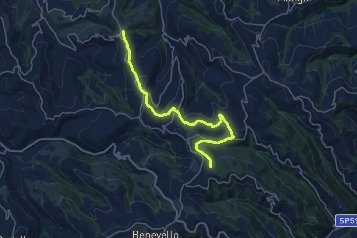
Medium · Trail
Treiso, località Canta, bivio CNC207, CNC315 – Trezzo Tinella, Bric Boscazzo, bivio CNC204, CNC207
15.0 km · ↑ 396 m · 4 h 24 min · 5 km away
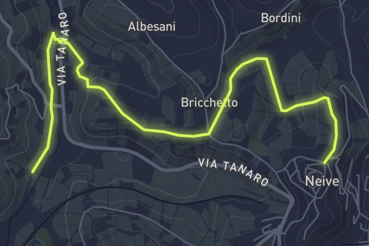
Medium · Trail
Montestefano – Neivie
8.1 km · ↑ 200 m · 2 h 21 min · 5 km away
Easy · Trail
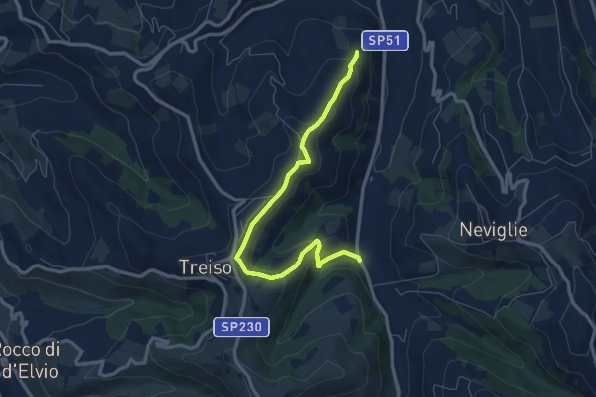
Neviglie, torrente Neviglie, bivio CNC315, CNC323 – Treiso, presso cascina Castellissano, bivio CNC314, CNC323
7.2 km · ↑ 265 m · 2 h 16 min · 5 km away
Easy · Trail
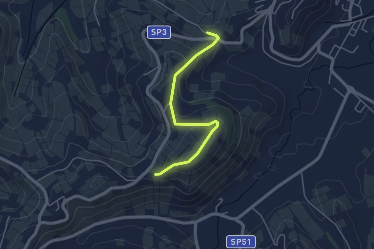
Neivie, Via Gaia, bivio CNC313-CNC313C – Neive, C.na Gavello, bivio CNC313C-CNC314
3.6 km · ↑ 156 m · 1 h 11 min · 5 km away
Demanding · Trail
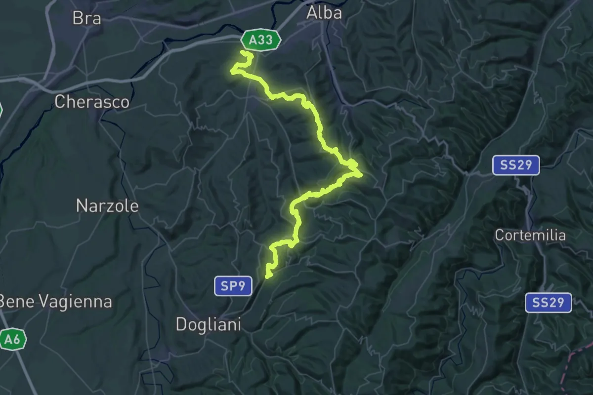
Roddi, bivio CNC301, CNC302 – Roddino, pressi torrente Riavolo, bivio CNC302, CNC305, CNC311
30.1 km · ↑ 1114 m · 9 h 51 min · 6 km away
Medium · Trail
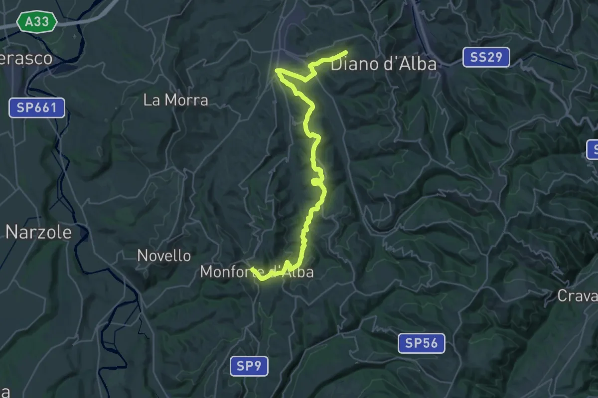
Diano d'Alba, frazione Carzello, bivio CNC302-CNC304 – Monforte d'Alba, bivio CNC301, CNC304, CNC309, CNC312, CNC303
15.4 km · ↑ 560 m · 4 h 56 min · 6 km away
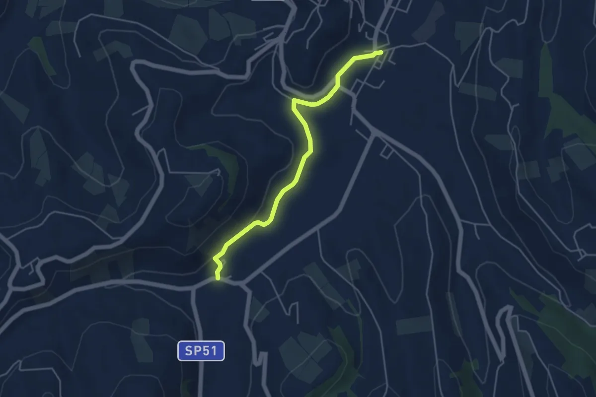
Easy · Trail
Neive, Borgonovo, bivio CNC313, CNC319, CNC321 – Neive, presso località Moretta, bivio CNC313, CNC319
4.2 km · ↑ 92 m · 1 h 12 min · 6 km away
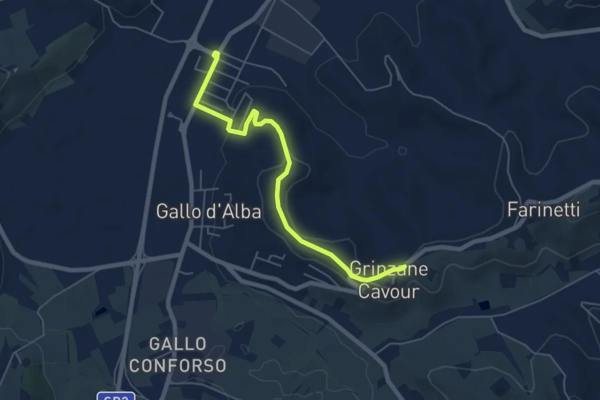
Easy · Trail
Gallo d'Alba – Grinzane Cavour
5.1 km · ↑ 88 m · 1 h 24 min · 6 km away
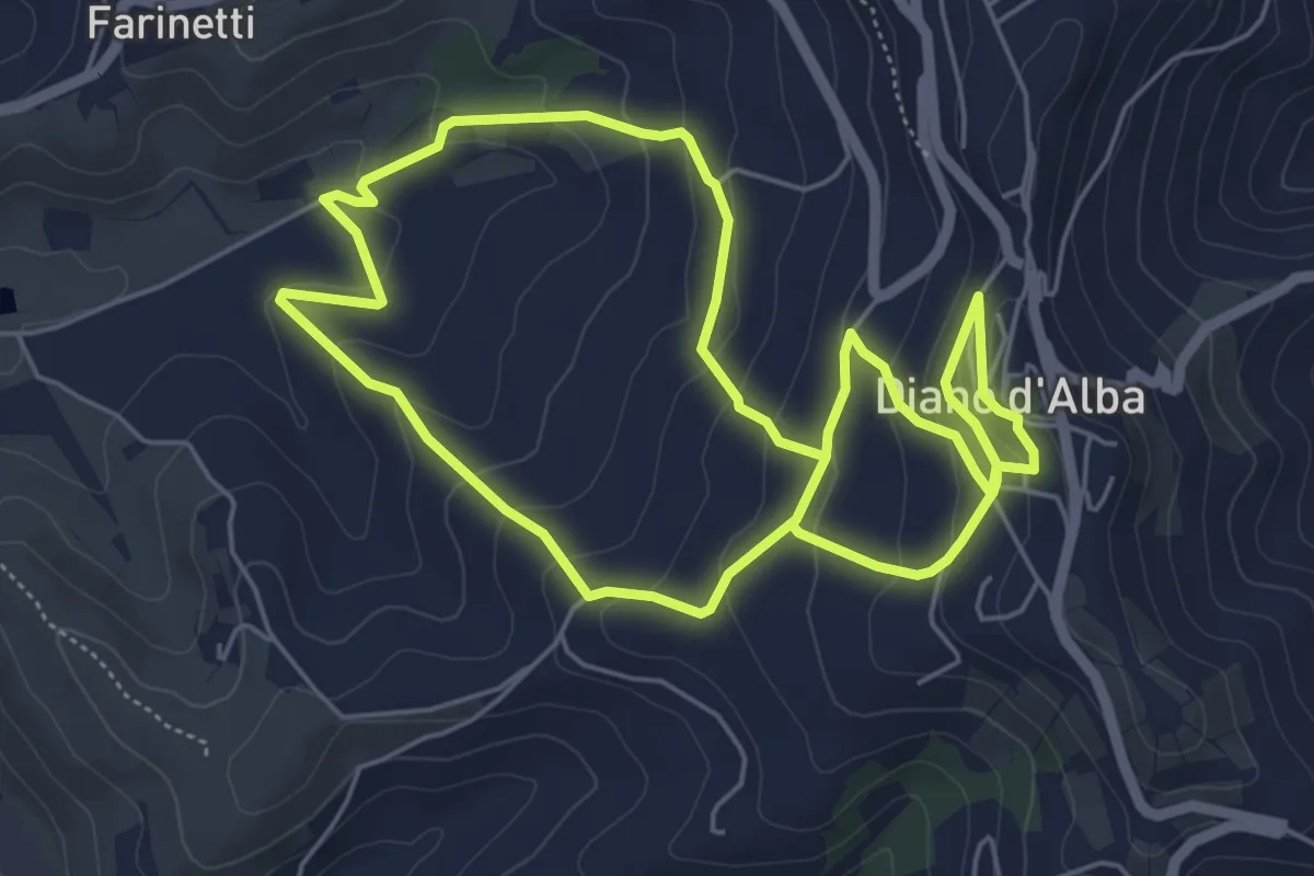
Easy · Trail
Grinzane Cavour – Diano d'Alba
5.8 km · ↑ 257 m · 2 h · 6 km away
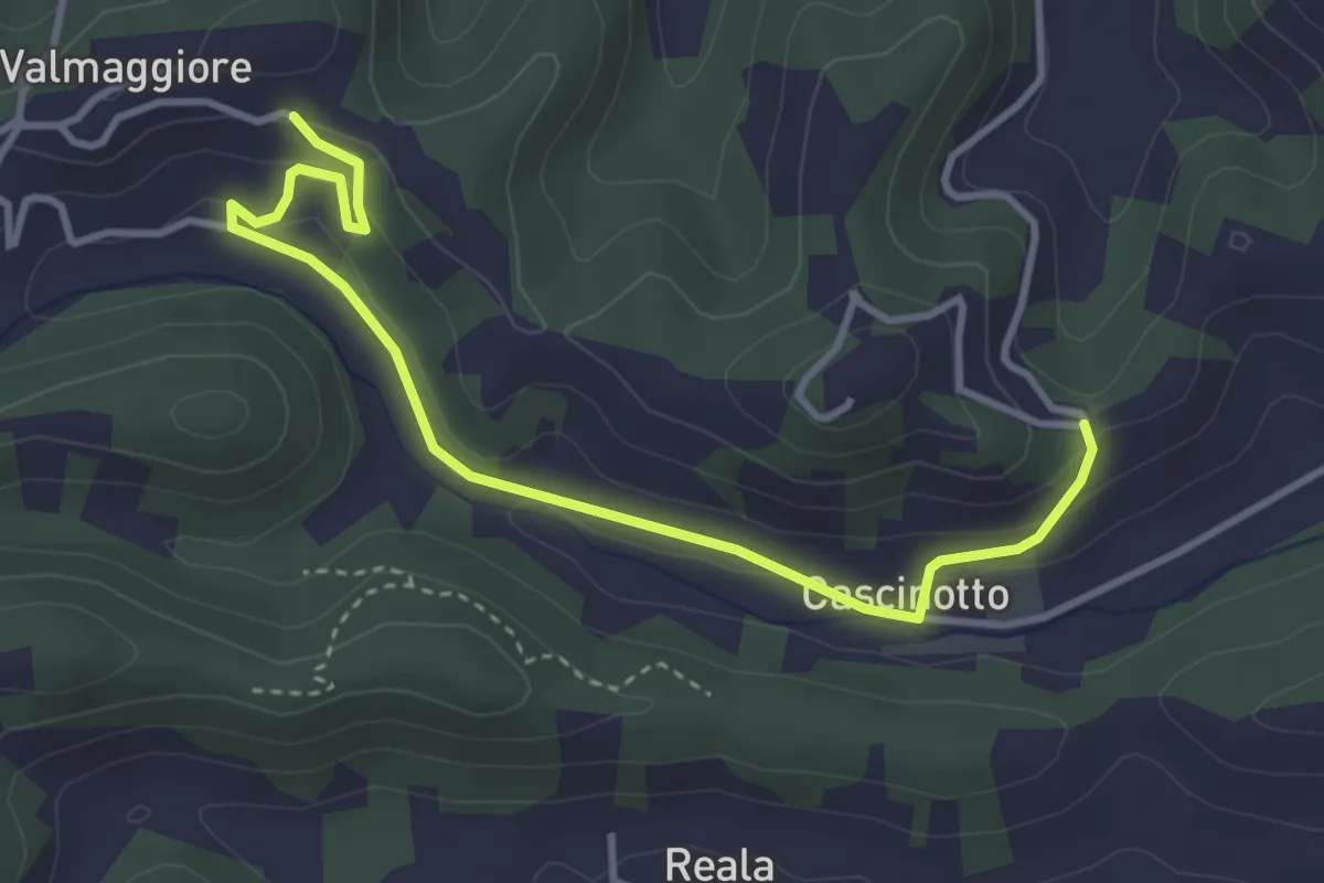
Easy · Trail
Vezza d'Alba, presso Madonna dei Boschi, bivio CNC409, CNC409A – Vezza d'Alba, presso Bric Valmaggiore, bivio CNC409, CNC409A
4.1 km · ↑ 126 m · 1 h 14 min · 7 km away
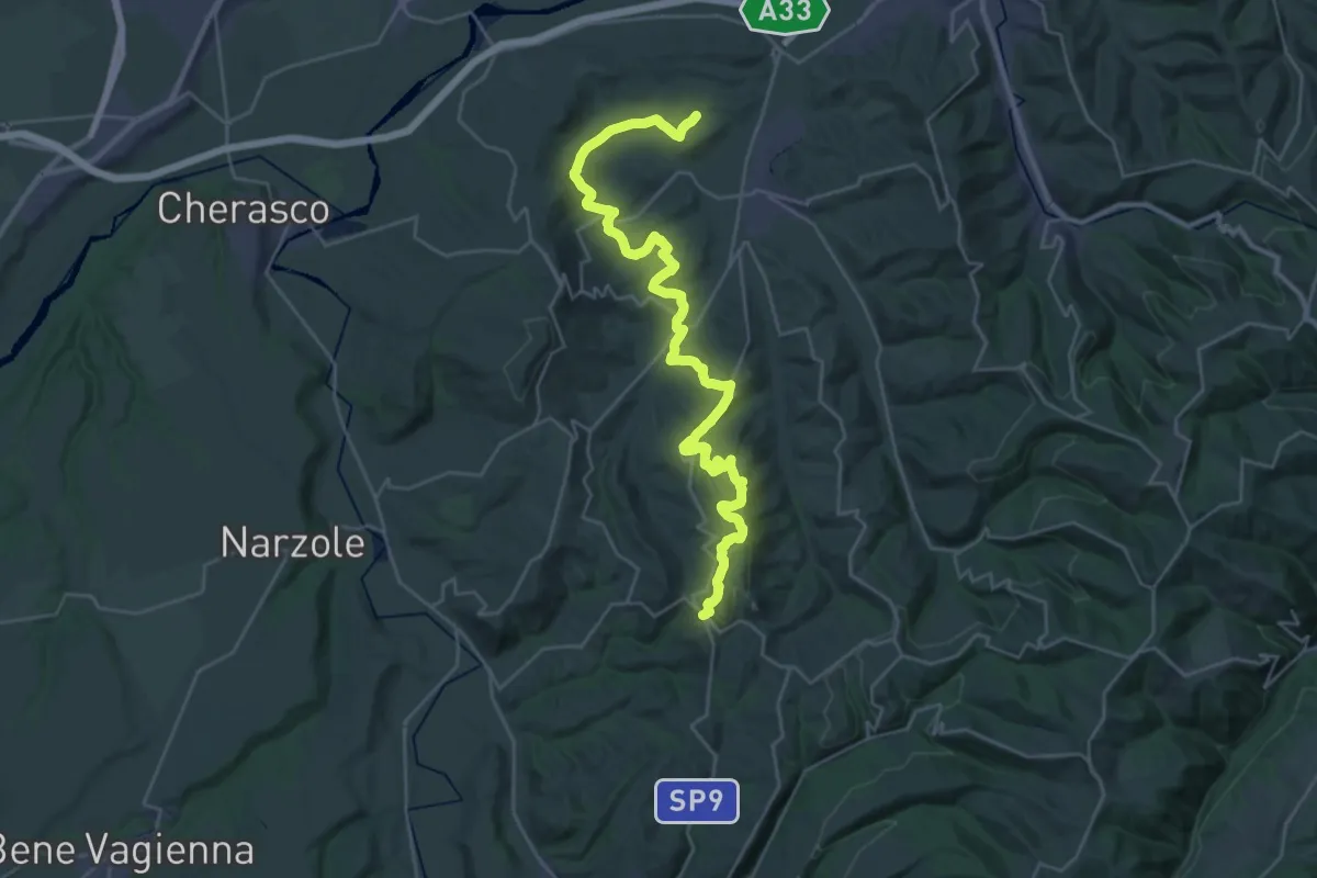
Demanding · Trail
Roddi, frazione San Carlo, bivio CNC302, CNC303 – Monforte d'Alba, bivio CNC301, CNC304, CNC309, CNC312, CNC303
18.4 km · ↑ 621 m · 5 h 49 min · 7 km away
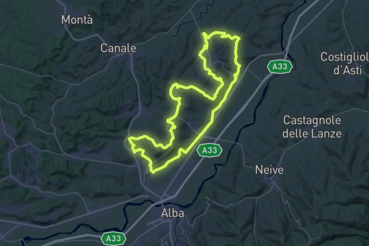
Demanding · Summit
S3 - Roero Orientale
37.0 km · ↑ 761 m · 10 h 54 min · 7 km away
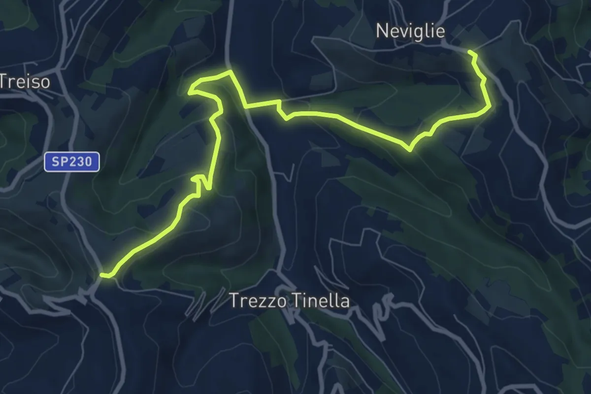
Medium · Trail
Treiso, frazione Canta, bivio CNC314, CNC315 – Neviglie, presso bric della Maglia, bivio CNC315, CNC316
9.0 km · ↑ 416 m · 3 h 2 min · 7 km away
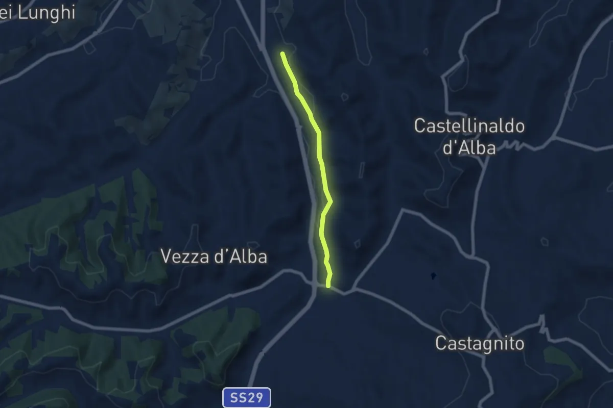
Easy · Trail
Sentiero del Torion
5.2 km · ↑ 22 m · 1 h 16 min · 7 km away
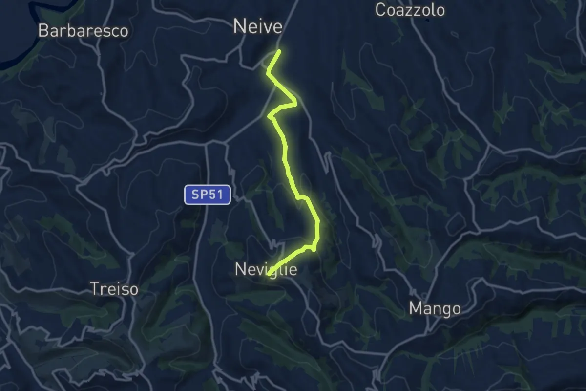
Medium · Trail
Neive, Borgonovo, bivio CNC313, CNC319, CNC321 – Neviglie, centro paese, bivio CNC315, CNC321
9.5 km · ↑ 262 m · 2 h 49 min · 7 km away
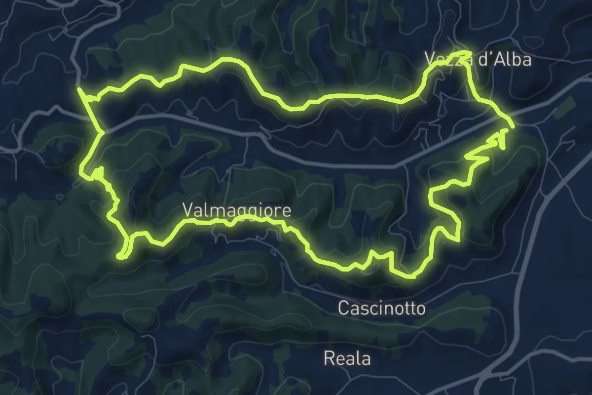
Medium · Trail
Sentiero del Tasso
11.4 km · ↑ 501 m · 3 h 56 min · 7 km away
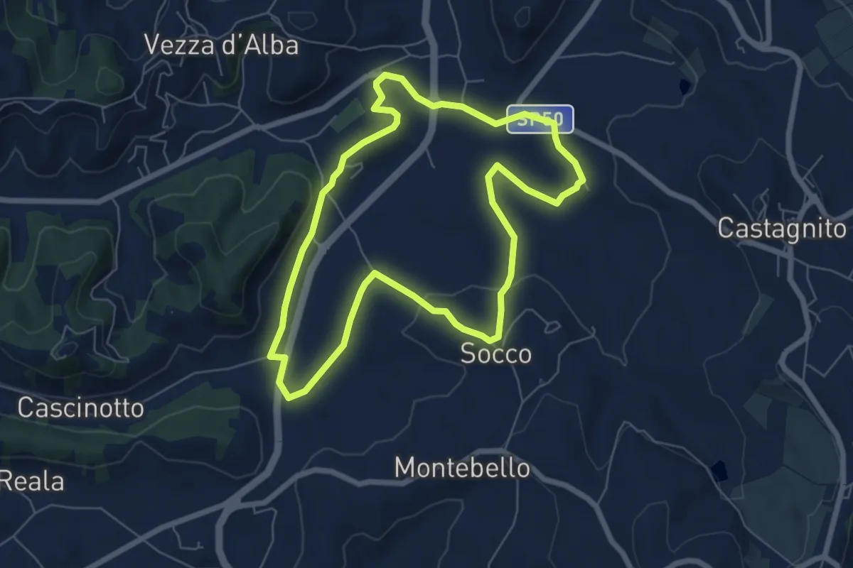
Easy · Trail
Sentiero della Pera Madernassa
6.3 km · ↑ 117 m · 1 h 49 min · 7 km away
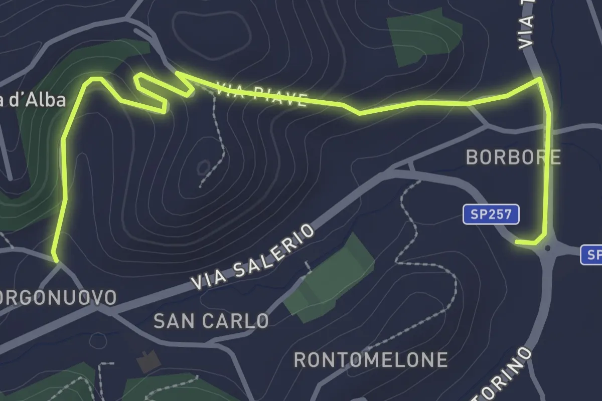
Easy · Trail
Borbore, bivio 409B-412 – Veza, bivio 409-409B
3.8 km · ↑ 170 m · 1 h 16 min · 7 km away
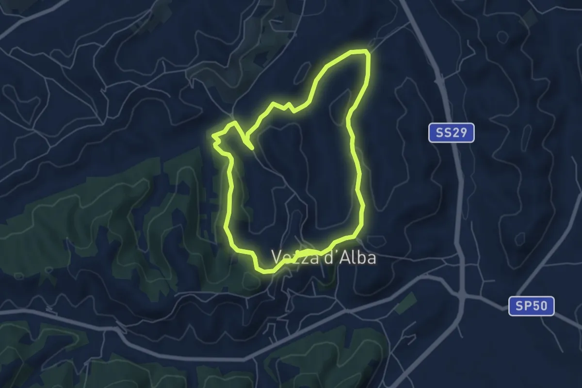
Easy · Trail
Sentiero del Trifolao
5.6 km · ↑ 190 m · 1 h 48 min · 8 km away
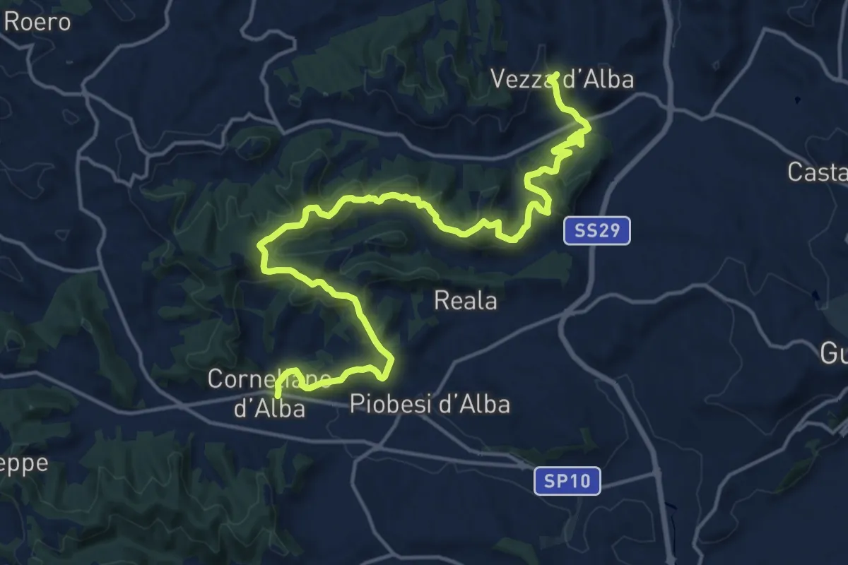
Demanding · Trail
Cornegliano d'Alba, centro paese, bivio CNC409, CNC419 – Vezza d'Alba, bivio CNC409, CNC410
20.0 km · ↑ 820 m · 6 h 30 min · 8 km away
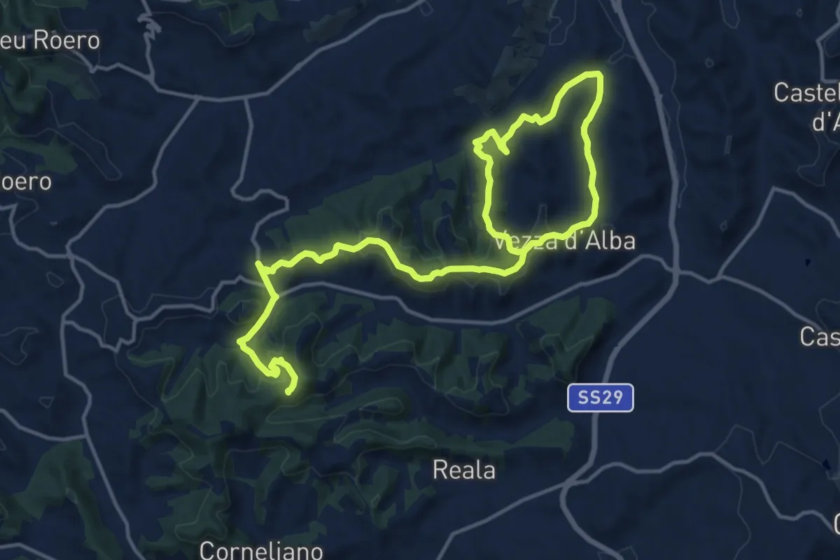
Demanding · Trail
Vezza d'Alba, Madonna degli Airali, bivio CNC410, CNC410 – Vezza d'Alba, regione Battagli, bivio CNC409, CNC410
21.1 km · ↑ 653 m · 6 h 25 min · 8 km away
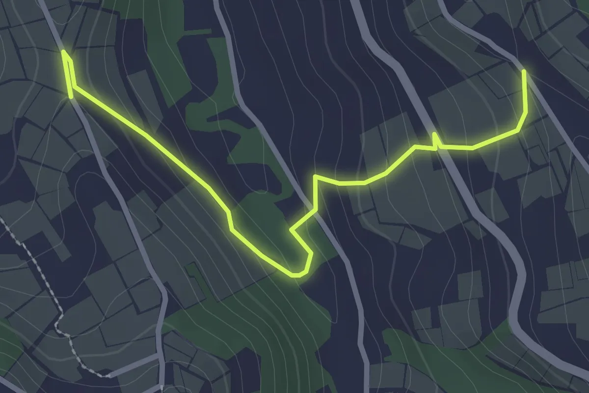
Easy · Trail
Neviglie, presso cascina Matterosso, bivio CNC321-CNC321A – Neive, cascina Micca, bivio CNC322-CNC321A
2.8 km · ↑ 120 m · 56 min · 8 km away
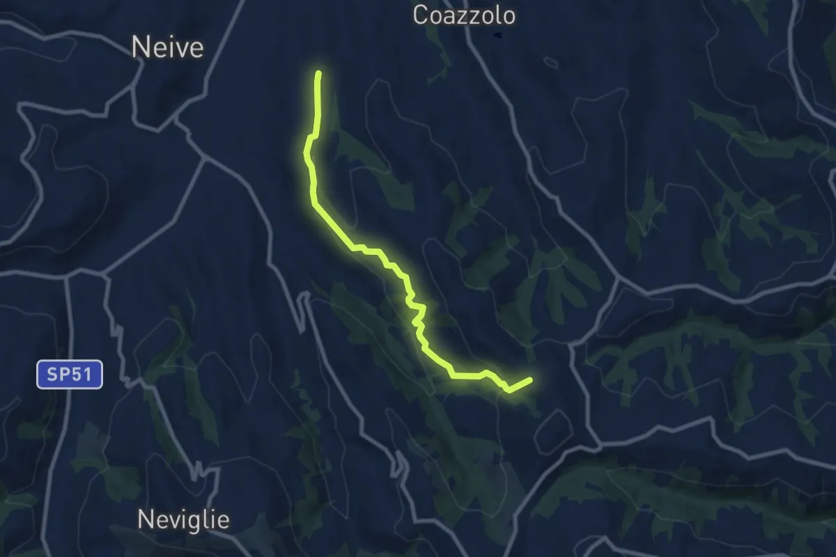
Easy · Trail
Neive, frazione Rivetti, bivio CNC318, CNC320 – Mango, presso Bric Avene e cascsina Avene, bivio CNC316, CNC320
7.8 km · ↑ 277 m · 2 h 26 min · 8 km away
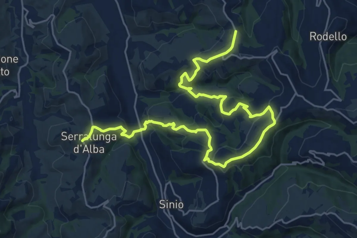
Demanding · Trail
Serralunga d'Alba, bivio CNC304, CNC306 – Montelupo Albese, case Rossotto, bivio CNC302, CNC306
21.2 km · ↑ 930 m · 7 h 1 min · 8 km away
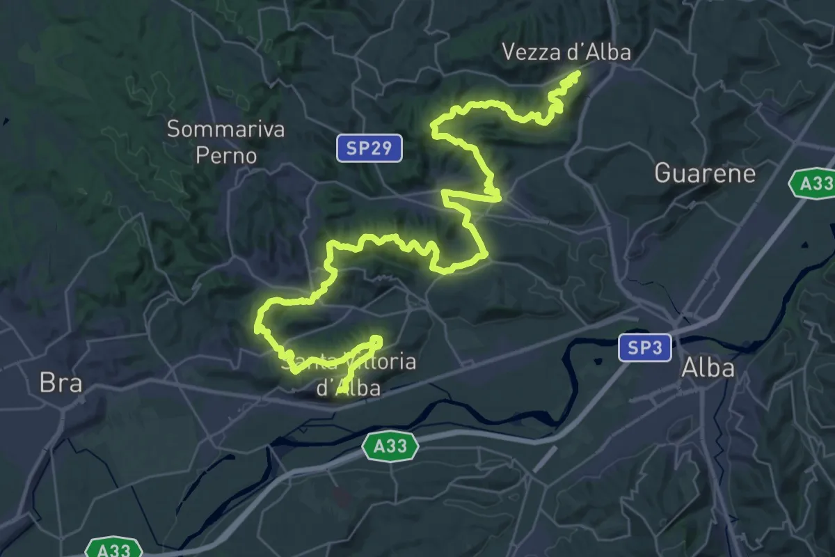
Demanding · Trail
S4 Roero Centrale
25.8 km · ↑ 787 m · 8 h 14 min · 8 km away
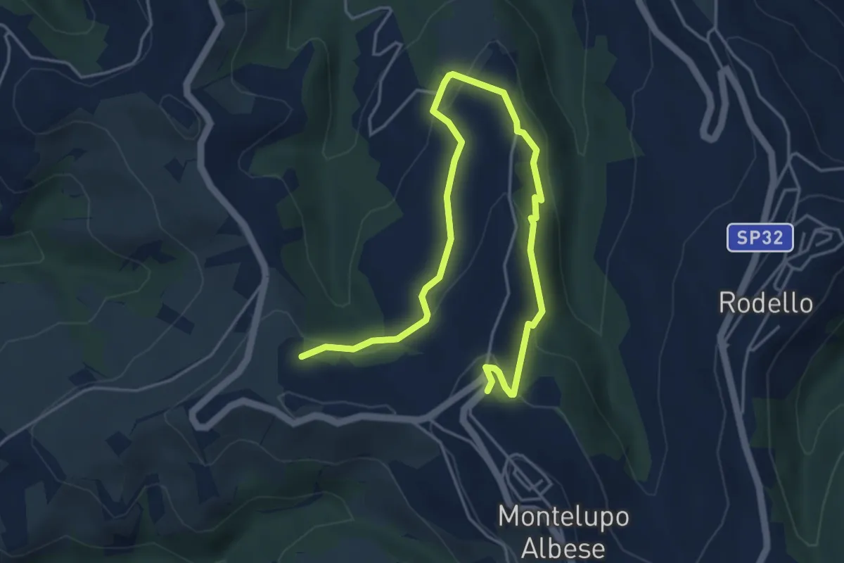
Easy · Trail
Bivio sentiero 302 – Bivio sentiero 302
6.0 km · ↑ 206 m · 1 h 52 min · 8 km away
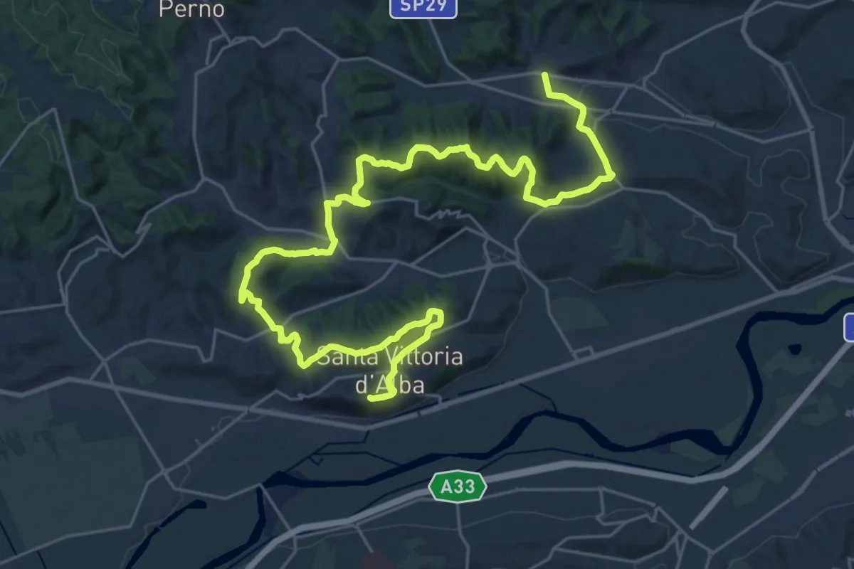
Medium · Trail
Santa Vittoria d'Alba, frazione Villa, bivio CNC423-CNC419 – Corneliano d'Alba, centro paese, bivio CNC409-CNC419
16.5 km · ↑ 401 m · 5 h 3 min · 8 km away
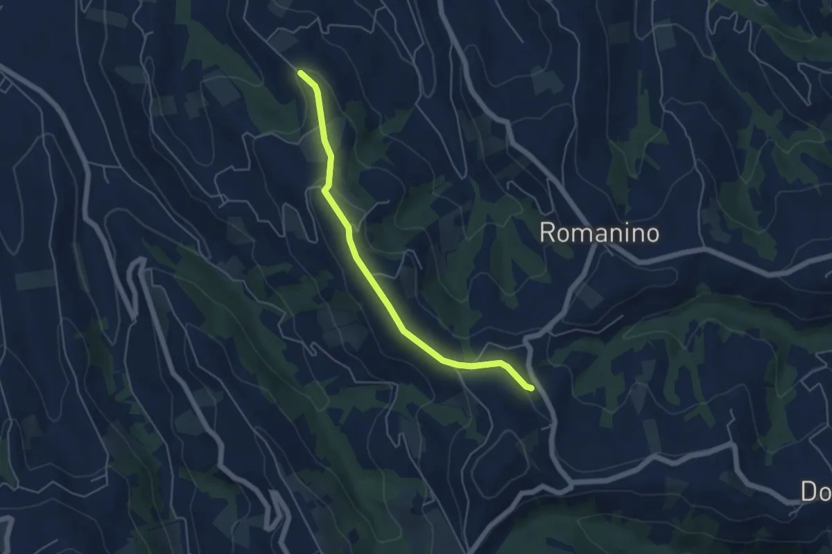
Easy · Trail
Neive, cascina Caloglio, bivio CNC313, CNC318 – Mango, presso borgata Olano, bivio CNC316, CNC318
4.8 km · ↑ 127 m · 1 h 25 min · 8 km away
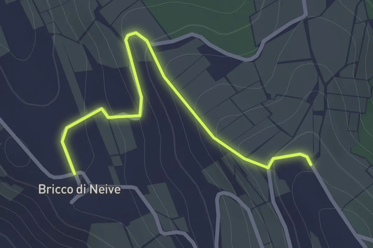
Easy · Trail
Neive, frazione Bricco di Neive, bivio CNC318A, CNC320 – Neive, cascina Spessa, bivio CNC318, CNC318A
2.3 km · ↑ 100 m · 45 min · 8 km away
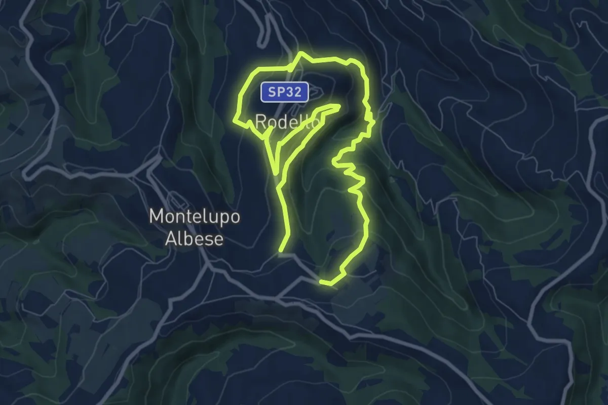
Medium · Trail
Bivio sentiero 302 – Bivio sentiero 302
13.5 km · ↑ 573 m · 4 h 26 min · 9 km away
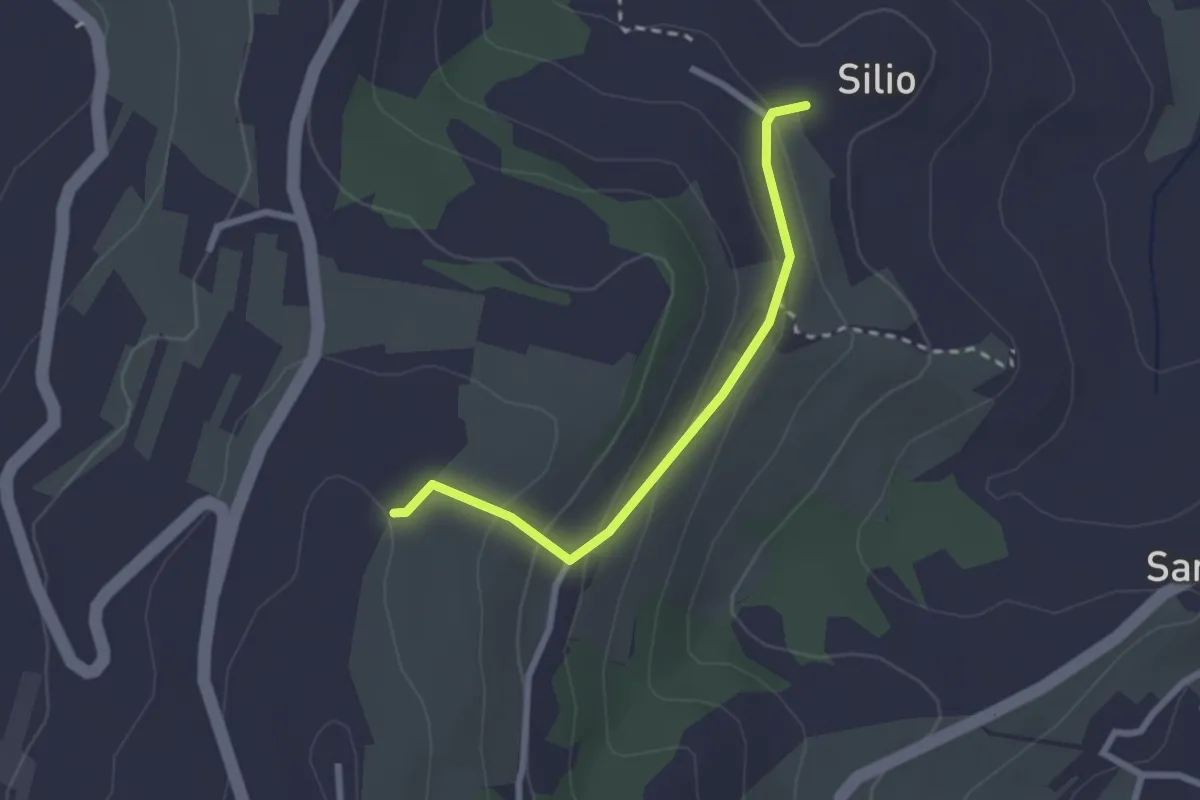
Easy · Trail
La Morra, presso Madonna di Loreto, bivio CNC301-CNC301A – La Morra, presso case Brie Silio, bivio CNC303-CNC301A
2.4 km · ↑ 125 m · 50 min · 9 km away
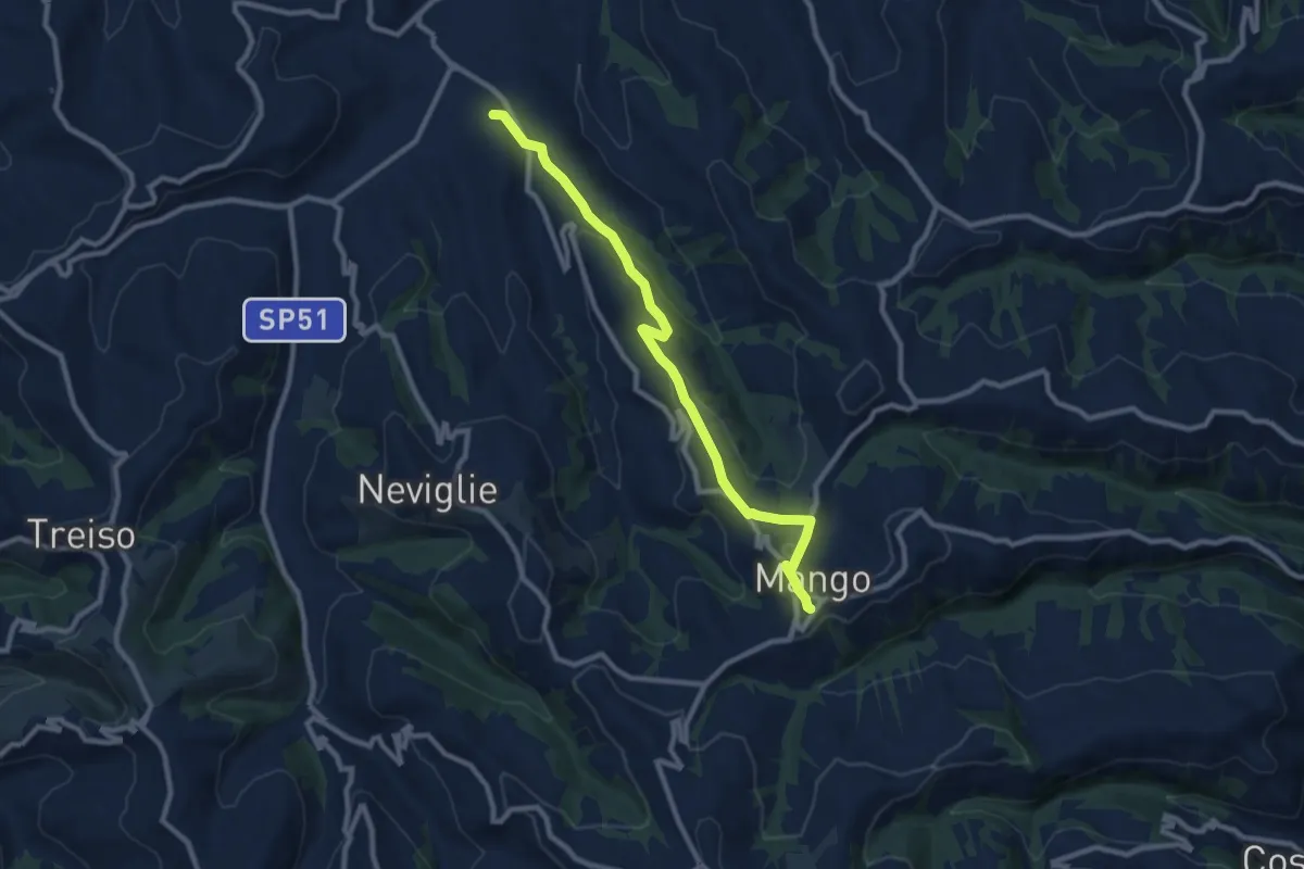
Medium · Trail
Neive, Borgonovo, via Santa Maria del Piano, bivio CNC321, CNC322 – Mango, centro paese, CNC316, CNC322
9.7 km · ↑ 317 m · 2 h 59 min · 9 km away
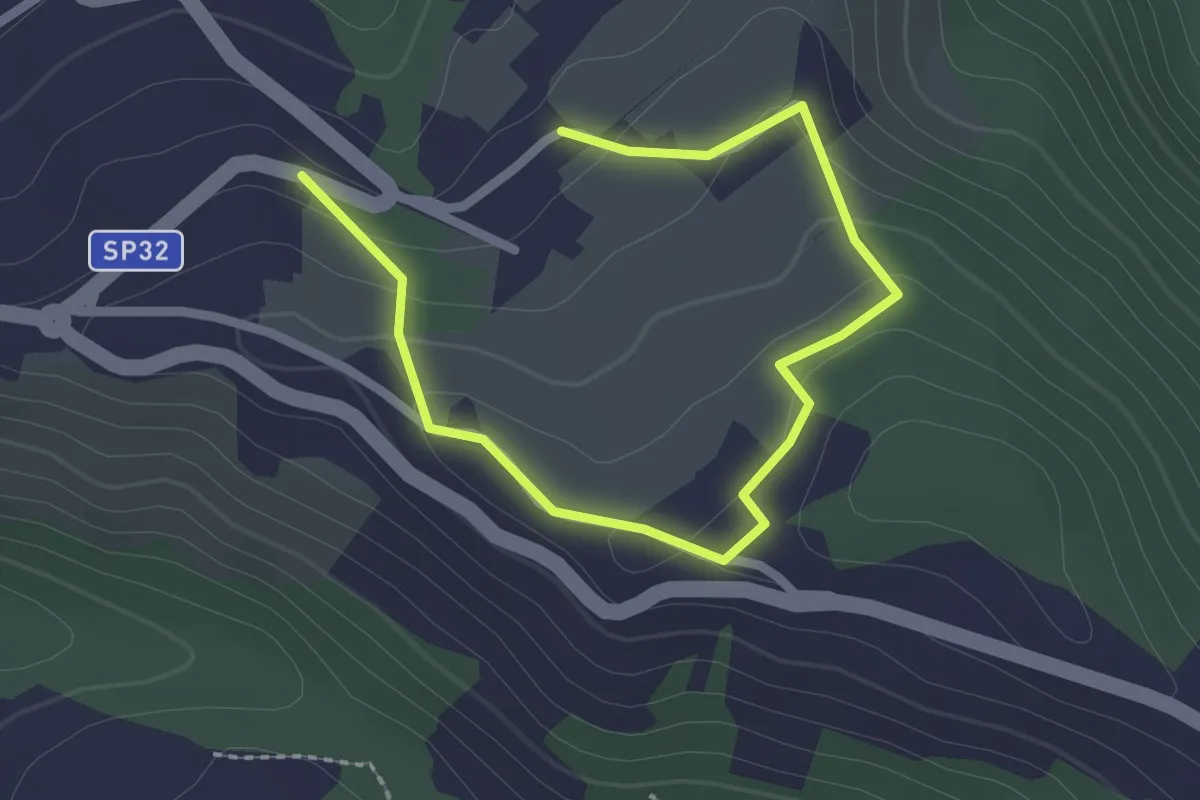
Easy · Trail
Bivio sentiero 302 – Bivio sentiero 302
3.0 km · ↑ 94 m · 55 min · 9 km away
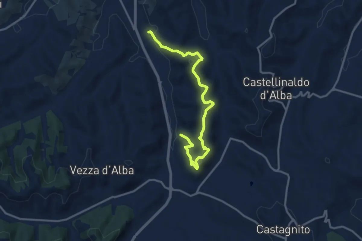
Medium · Trail
Bivio CNC411-CNC411A-CNC424, presso Cascina Elia – Bivio CNC411-CNC411A, strada Varasca
8.4 km · ↑ 386 m · 2 h 50 min · 9 km away
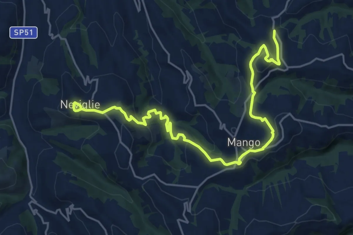
Medium · Trail
Mango, presso borgata Olano, bivio CNC316, CNC318 – Neviglie, centro paese
16.4 km · ↑ 701 m · 5 h 24 min · 10 km away
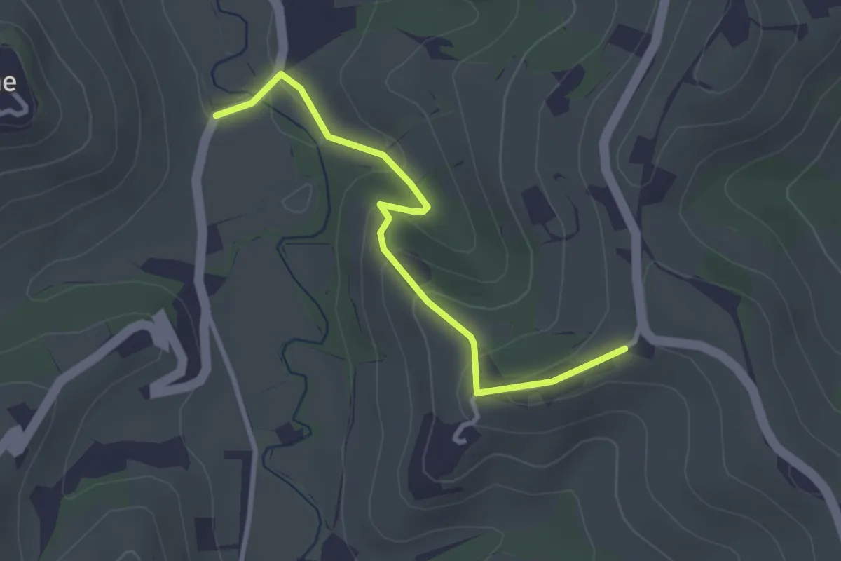
Easy · Trail
C.se Parafada – Castiglione Falletto
3.0 km · ↑ 146 m · 1 h 1 min · 10 km away
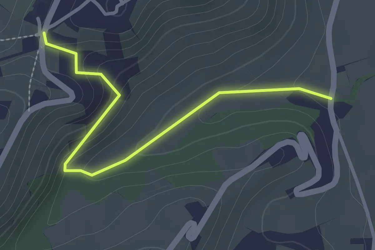
Easy · Trail
Castiglione Falletto, strada Comunale dello Scarrone, bivio CNC308-CNC308F – Castiglione Falletto, cascina del Pilone, bivio CNC303-CNC308F
2.7 km · ↑ 102 m · 52 min · 10 km away
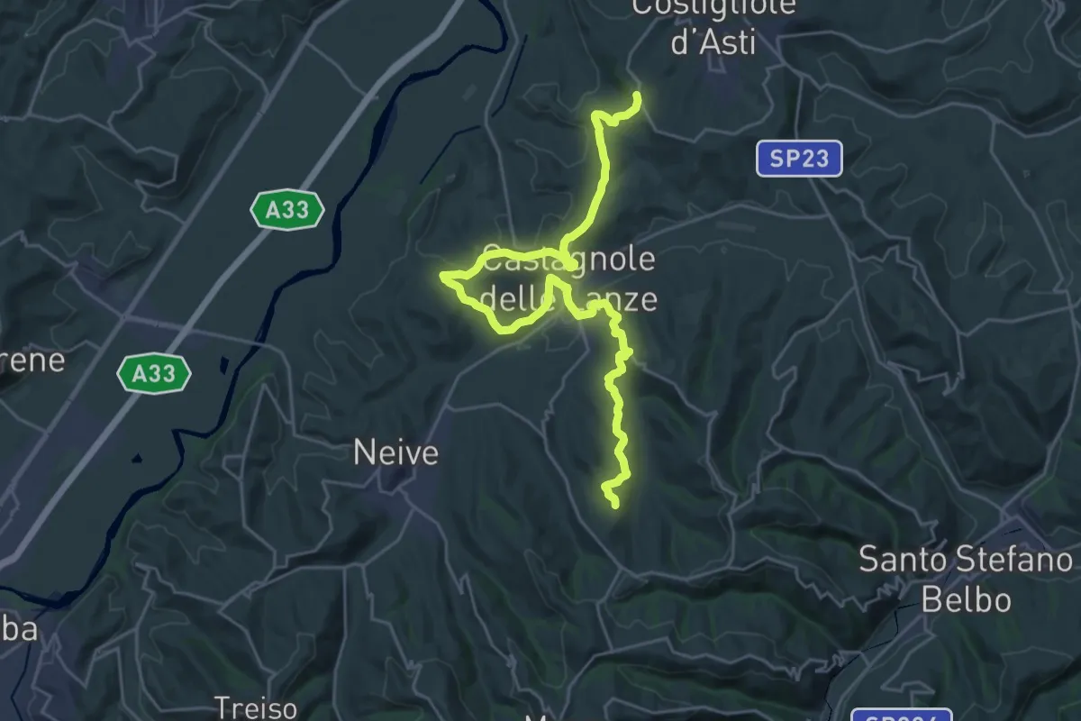
Medium · Trail
Costigliole d'Asti, località Annunziata, bivio ATS303-ATS301 – Mango, Madonna del Gallo, bivio ATS301-ATS301A
14.6 km · ↑ 344 m · 4 h 24 min · 10 km away
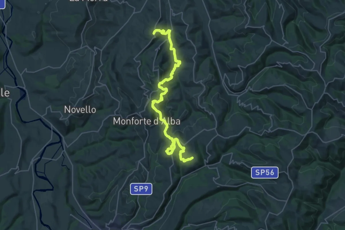
Medium · Trail
Castiglione Falletto, bivio CN303-CNC308 – Monforte d'Alba, bivio CNC308-CNC302
13.9 km · ↑ 589 m · 4 h 39 min · 10 km away
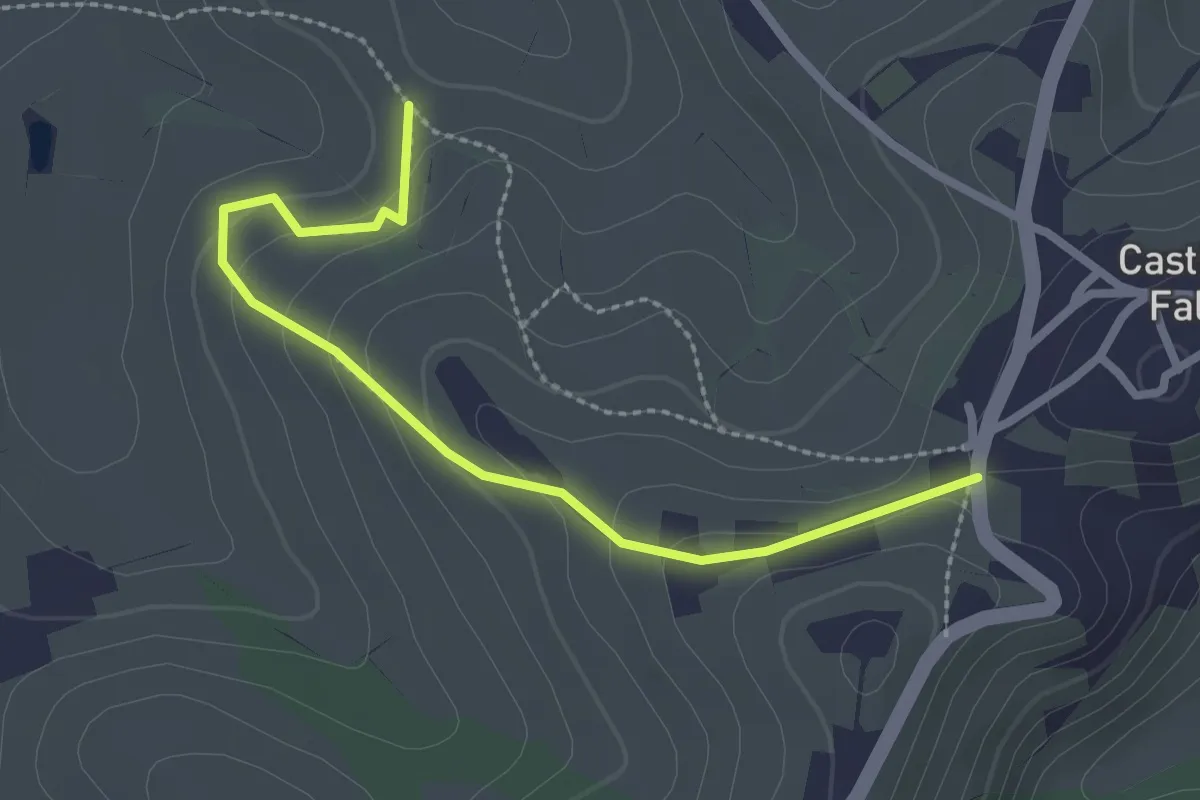
Easy · Trail
Castiglione Falletto, bivio CNC303, CNC303D – presso C.se Brinella di Castiglione Falletto, bivio CNC303, CNC303D
2.7 km · ↑ 125 m · 55 min · 10 km away
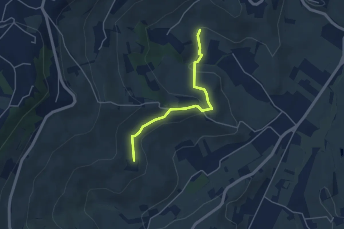
Easy · Trail
La Morra, presso borgata Cerequio, bivio CNC301-CNC301B – La Morra, presso borgata Torriglione, bivio CNC303A-CNC301A
3.3 km · ↑ 88 m · 59 min · 10 km away
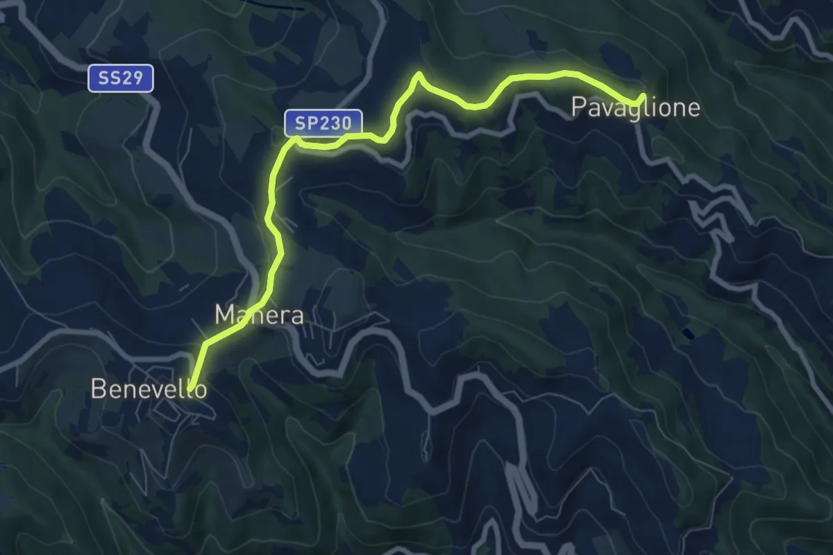
Easy · Trail
Benevello, bivio CNC201, CNC204 – Castino, frazione Pavaglione, bivio CNC103, CNC104, CNC204
8.0 km · ↑ 181 m · 2 h 16 min · 10 km away