Trails near Alba
116 hikes starting within 15 km, nearest first.
Nearest first, page 3 of 3
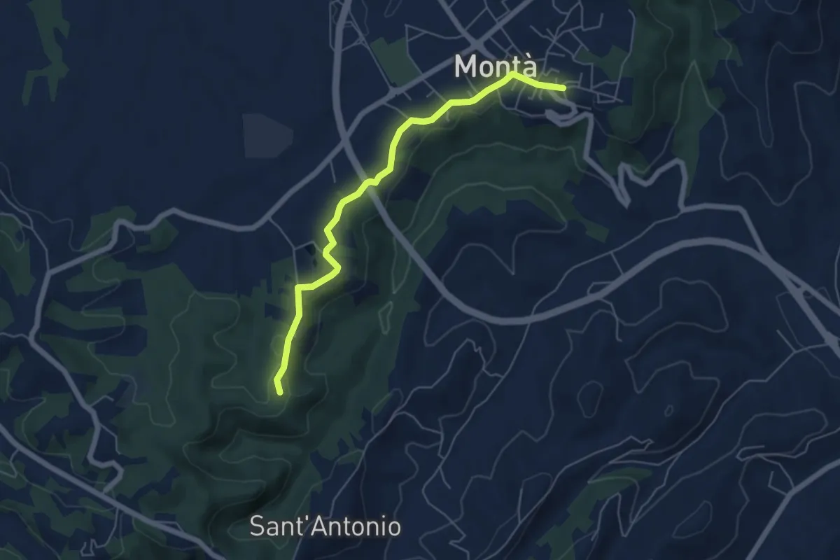
Easy · Trail
Montà d'Alba, centro paese, bivio CNC401, CNC402 – Santo Stefano Roero, presso santuario dei Piloni, bivio CNC401, CNC402
5.6 km · ↑ 57 m · 1 h 26 min · 14 km away
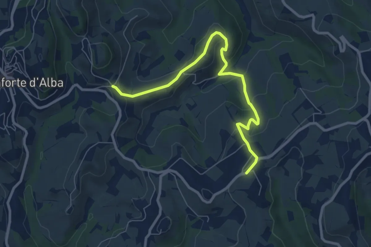
Medium · Trail
San Giuseppe, bivio 308-308D – Bivio 302-308D
7.1 km · ↑ 327 m · 2 h 23 min · 14 km away
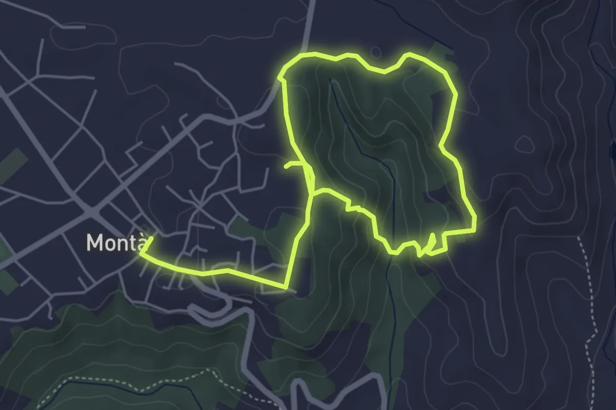
Medium · Trail
Sentiero del Tartufo
8.2 km · ↑ 285 m · 2 h 33 min · 14 km away
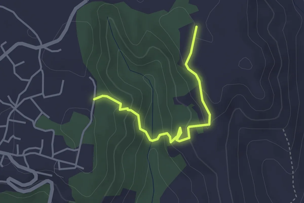
Easy · Trail
Monta, presso Ciabot del Trifolao, bivio CNC401-CNC415 – Monta, presso il Castello, bivio CNC401-CNC415
3.2 km · ↑ 163 m · 1 h 7 min · 14 km away
Easy · Trail
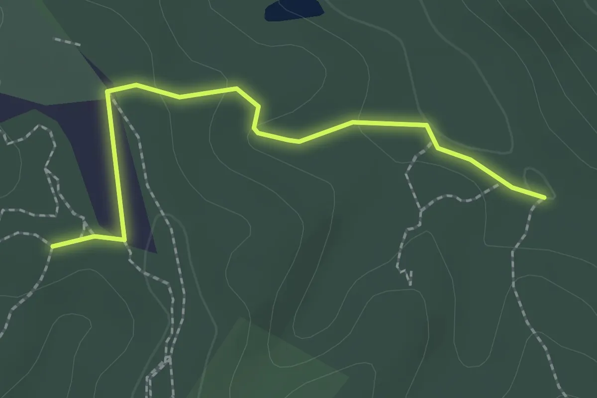
Sommariva Perno, valle della Ciliegia, bivio CNC406, CNC406B – Pocapaglia, crinale della Verna, bivio CNC406B, CNC418
2.3 km · ↑ 40 m · 37 min · 14 km away
Medium · Trail
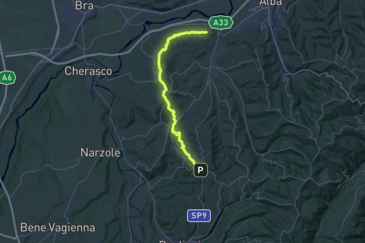
Roddi, bivio CNC301, CNC302 – Monforte d'Alba
16.4 km · ↑ 406 m · 5 h 5 min · 14 km away
Medium · Trail
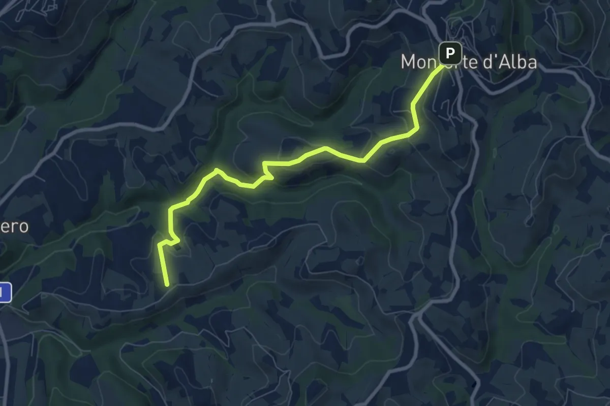
Monforte d'Alba, piazza Umberto I, bivio CNC301, CNC303, CNC304, CNC309, CNC312 – Monforte d'Alba, località Riviera, bivio CNC309, CNC312
8.0 km · ↑ 344 m · 2 h 38 min · 14 km away
Easy · Trail
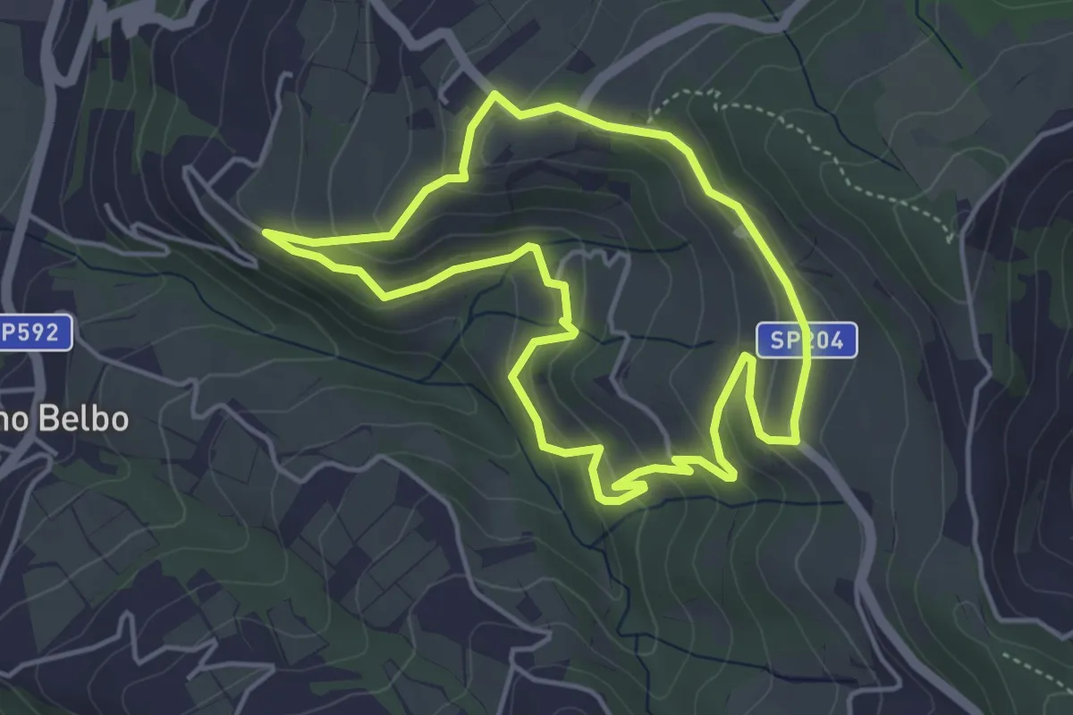
Sentiero della Scala Santa
4.3 km · ↑ 227 m · 1 h 34 min · 14 km away
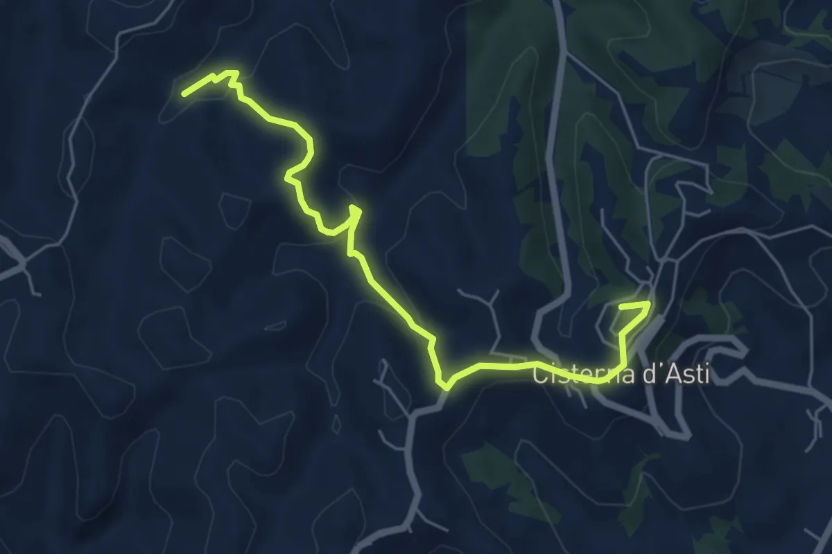
Easy · Trail
Cisterna d'Asti, località Montarone, bivio ATN108-ATN109 – Cisterna d'Asti, centro paese
5.8 km · ↑ 208 m · 1 h 49 min · 14 km away
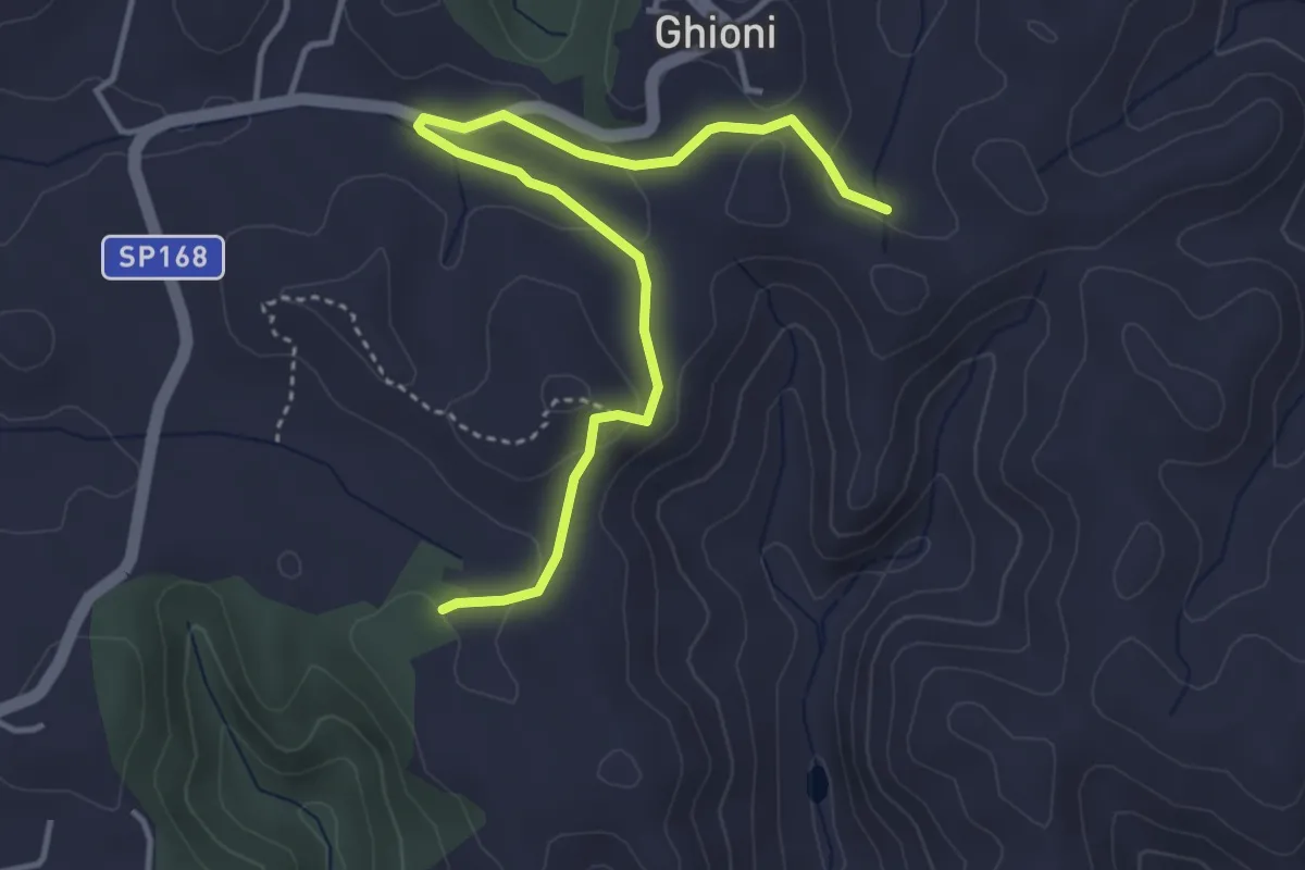
Easy · Trail
Montà, presso Bric San Nicola, bivio CNC401, CNC401A – Montà, presso Bric Bossola, bivio CNC401, CNC401A
4.5 km · ↑ 117 m · 1 h 18 min · 15 km away
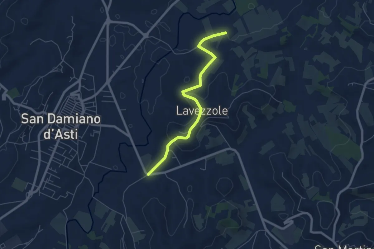
Easy · Trail
San Damiano d'Asti, bivio ATS103-ATS110 presso Case Prus – San Damiano d'Asti, bivio su SP19
5.6 km · ↑ 132 m · 1 h 36 min · 15 km away
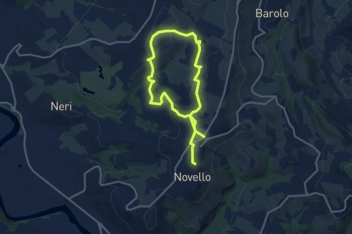
Medium · Trail
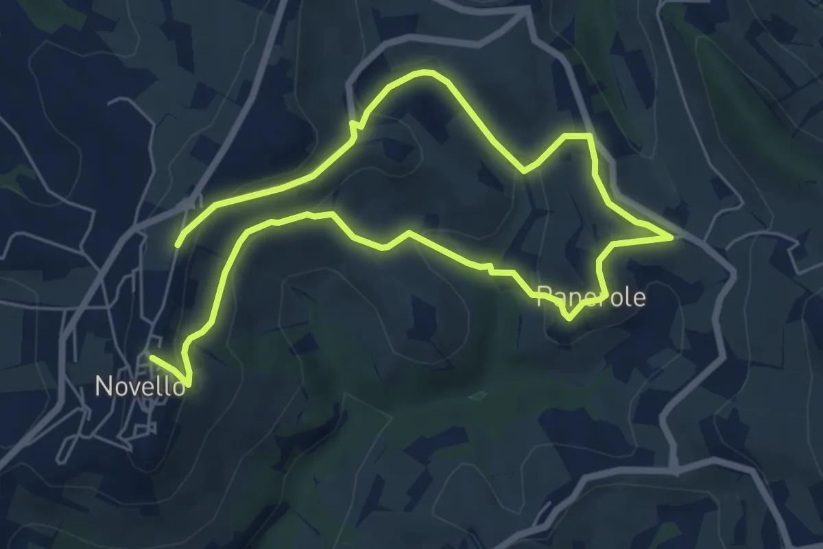
Sentiero Nas-cëtta di Novello
11.7 km · ↑ 380 m · 3 h 35 min · 15 km away
Medium · Trail
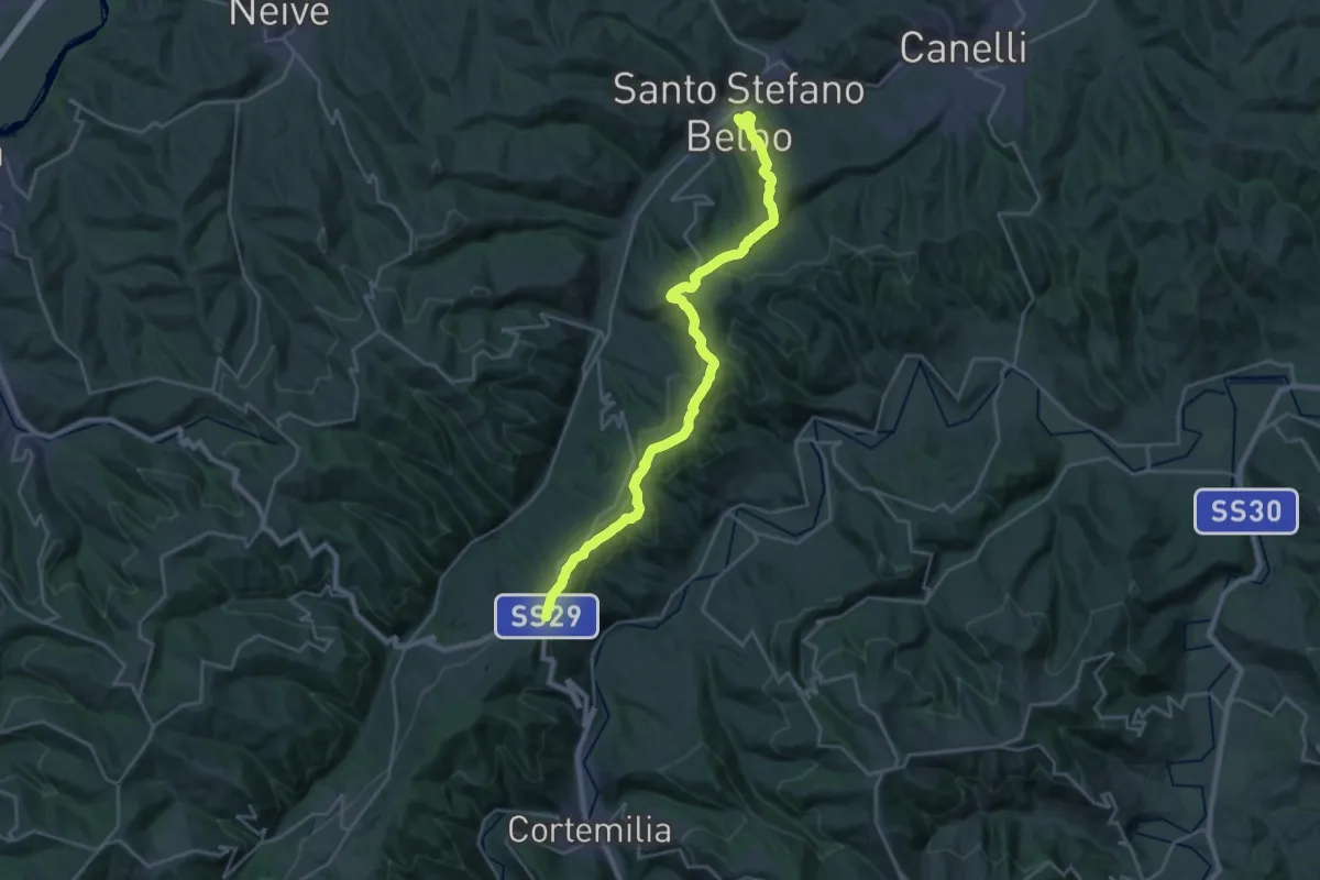
Sentiero Sol Levante
9.7 km · ↑ 321 m · 2 h 59 min · 15 km away
Medium · Trail
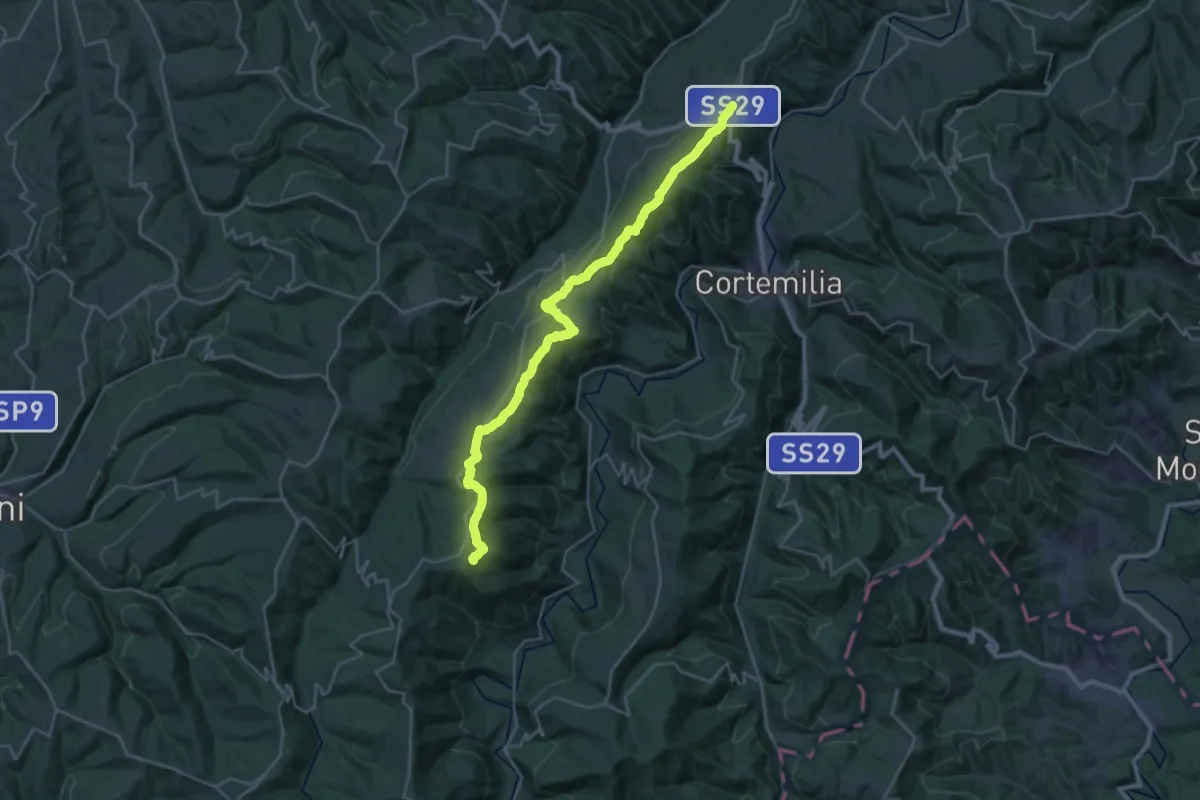
Santo Stefano Belbo, incrocio via Federico Pistone e via Guglielmo Marconi – Castino, bivio CNC102, CNC104, CNC202
14.2 km · ↑ 254 m · 4 h 16 min · 15 km away
Demanding · Summit
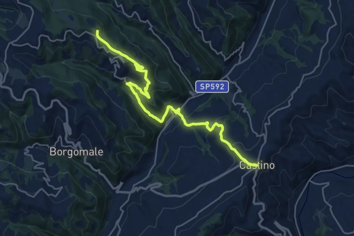
Castino, bivio CNC102, CNC104, CNC202 – Sale delle Langhe, frazione Arbi, bivio CNAB22, CNC202
31.3 km · ↑ 851 m · 9 h 15 min · 15 km away
Medium · Trail
Castino, bivio CNC104, CNC202 – Castino, frazione Pavaglione, bivio CNC103, CNC104, CNC204
15.7 km · ↑ 733 m · 5 h 18 min · 15 km away
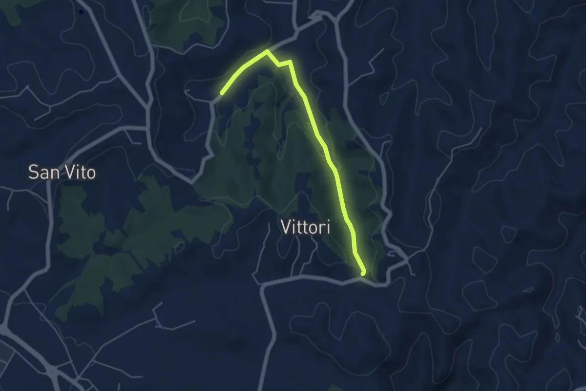
Easy · Trail
Bivio CNC416-CNC416A, borgata Valle del Morto – Bivio CNC416-CNC41A, SP168, presso borgata Vittori e borgata Ghioni
4.4 km · ↑ 95 m · 1 h 15 min · 15 km away
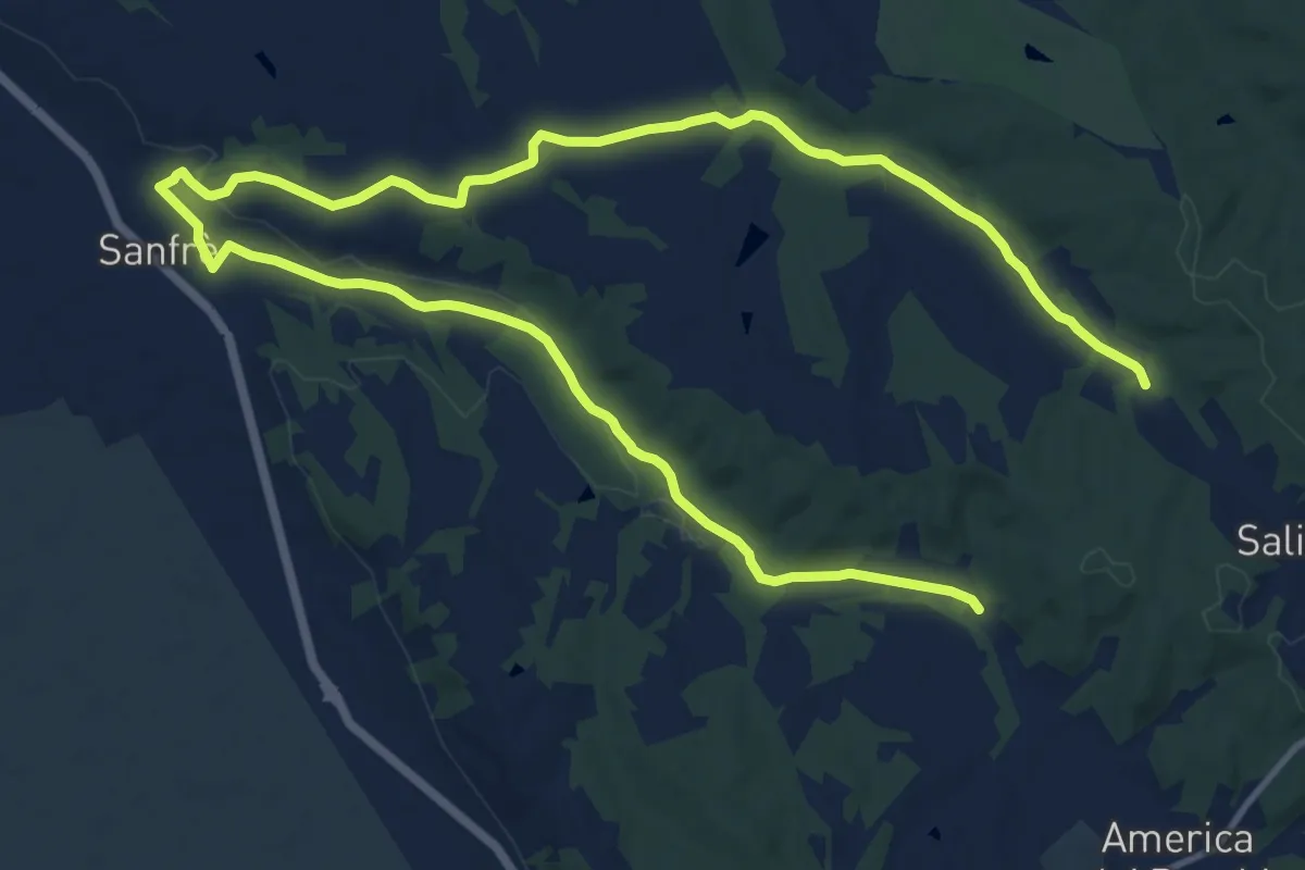
Demanding · Trail
Pocapaglia, presso Bosco Giacinto, bivio CNC422-CNC401 – Pocapaglia, bivio CNC422-CNC418
20.9 km · ↑ 170 m · 5 h 18 min · 15 km away
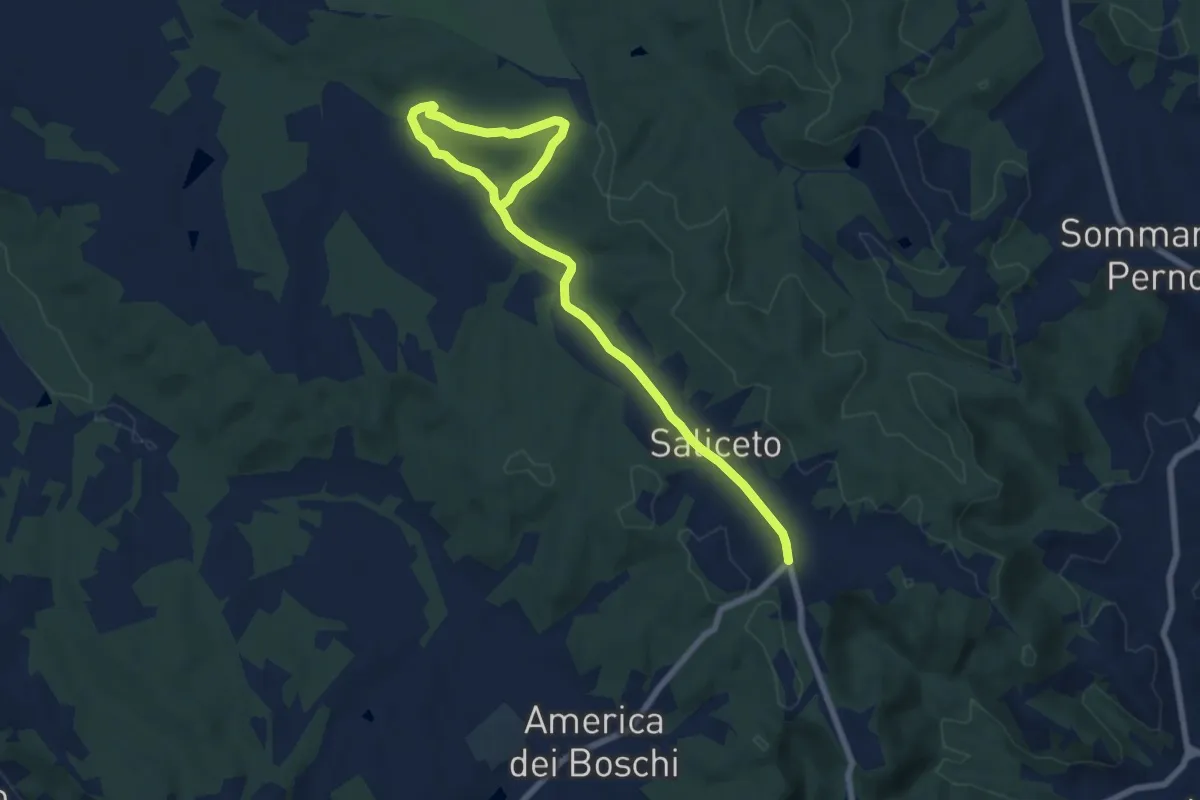
Medium · Trail
bivio CNC418-CNC418 - Quota: 346 – Pocapaglia, Fraz. Saliceto, loc. Cravioli, bivio CNC401-CNC418 - Quota:372
9.2 km · ↑ 149 m · 2 h 30 min · 15 km away
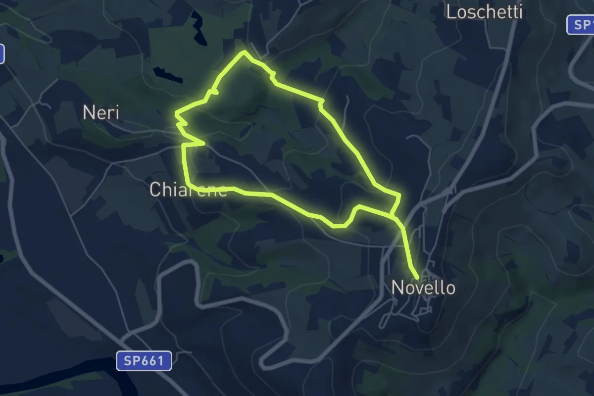
Medium · Trail
Sentiero Arco del Monviso
9.7 km · ↑ 336 m · 3 h 1 min · 15 km away