Trails near Albenga
62 hikes starting within 15 km, nearest first.
Nearest first, page 1 of 2
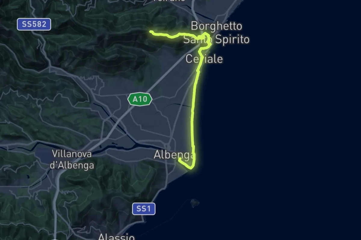
Demanding · Summit
Sentiero Liguria - Tappa 22
26.5 km · ↑ 837 m · 8 h 4 min · under 1 km away
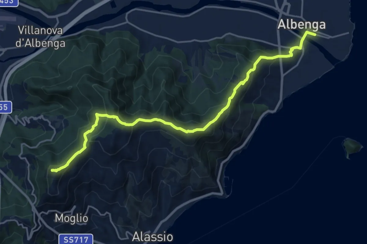
Demanding · Summit
Sentiero Liguria - Tappa 23
16.2 km · ↑ 911 m · 5 h 49 min · under 1 km away
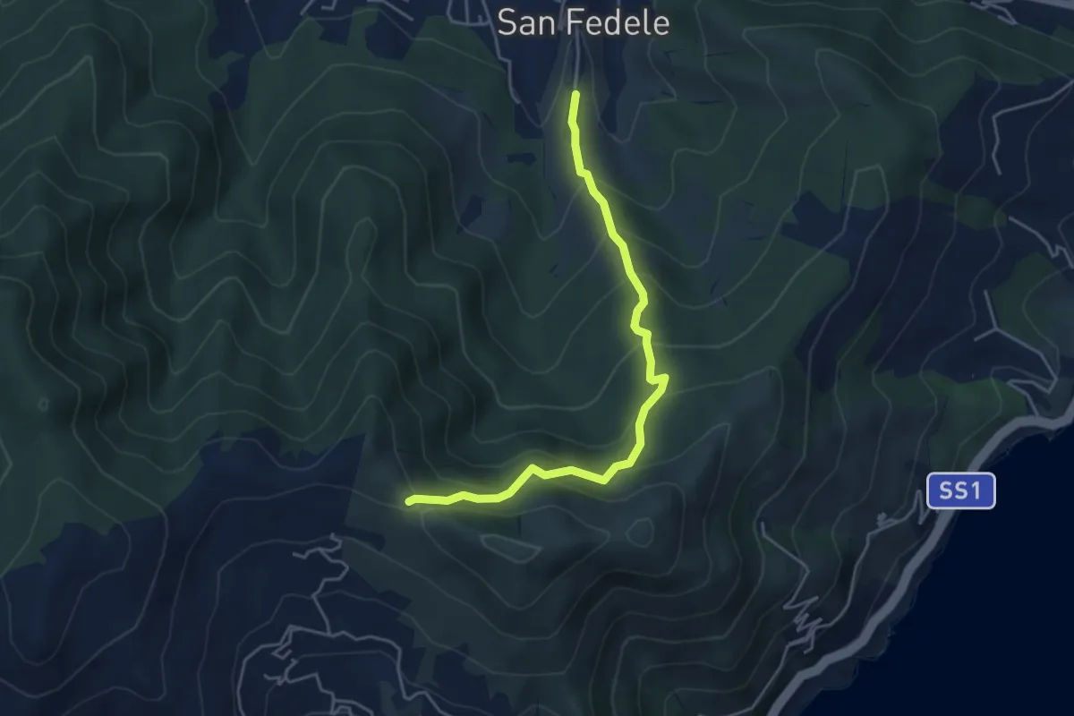
Medium · Trail
San Fedele - Monte Bignone
4.6 km · ↑ 403 m · 1 h 58 min · 4 km away
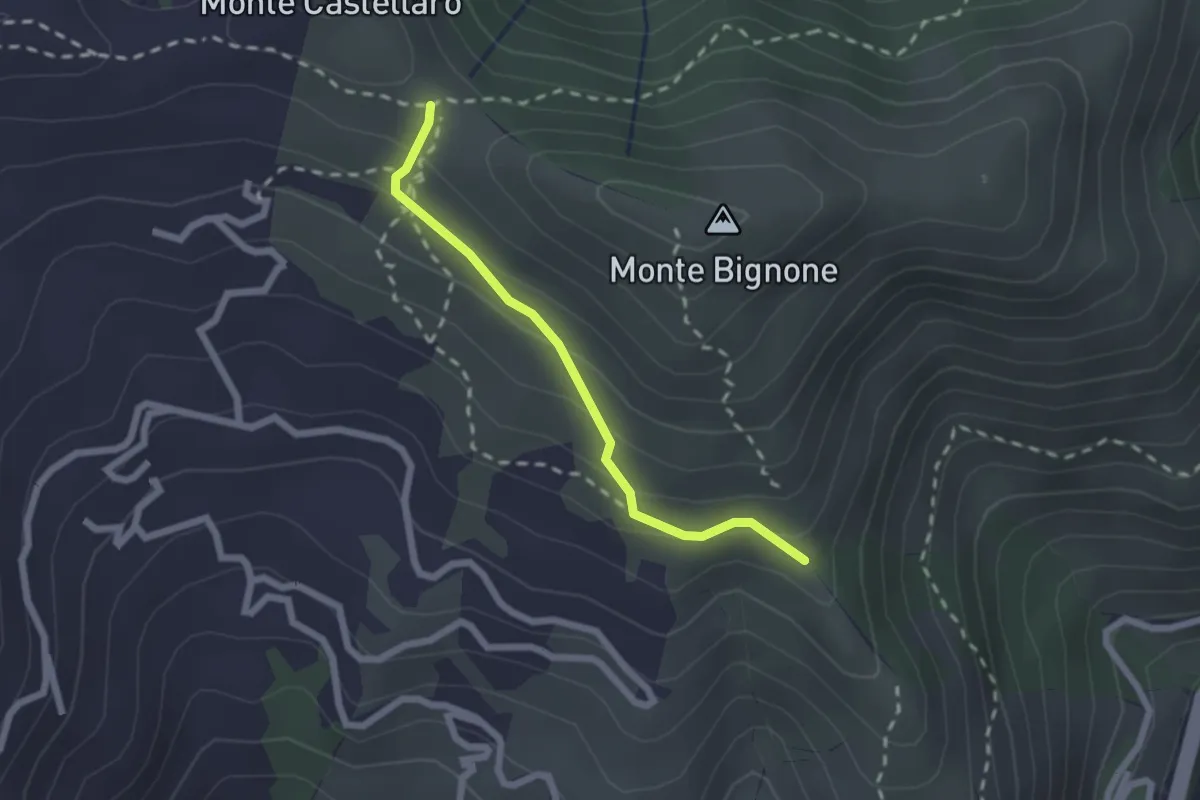
Easy · Trail
Raccordo AVBS
2.0 km · ↑ 151 m · 48 min · 4 km away
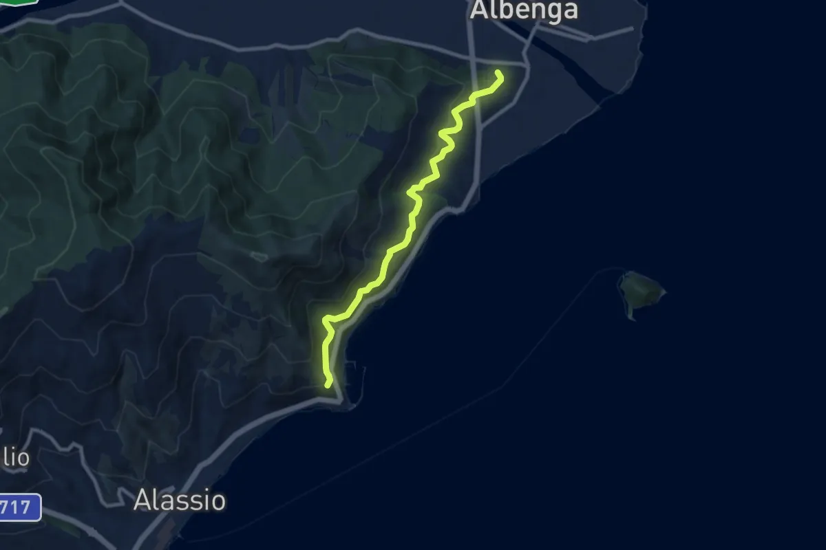
Medium · Trail
Albenga - Via Iulia Augusta - Santa Croce
8.4 km · ↑ 472 m · 3 h · 4 km away
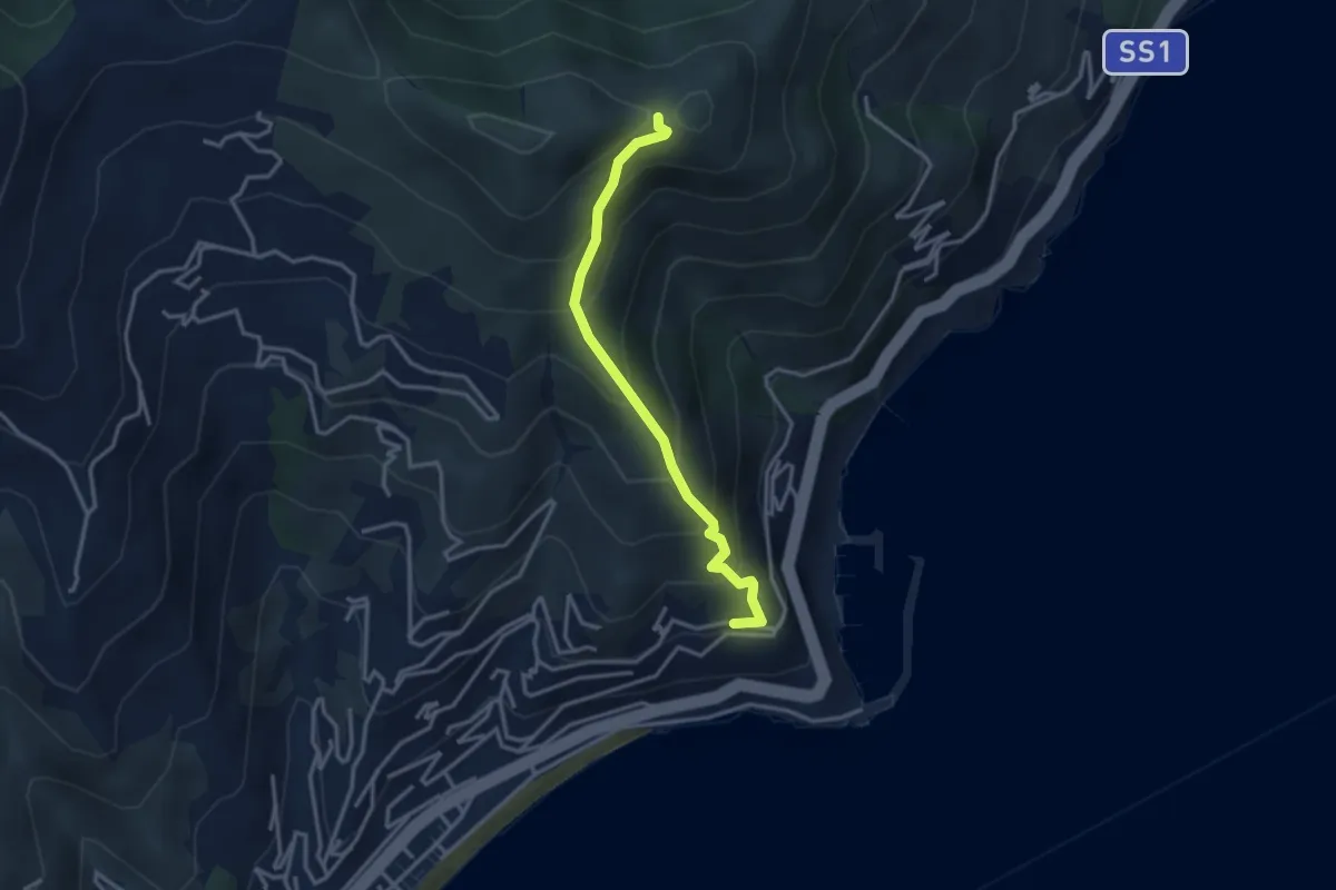
Medium · Trail
Santa Croce - Monte Bignone
3.2 km · ↑ 334 m · 1 h 29 min · 4 km away
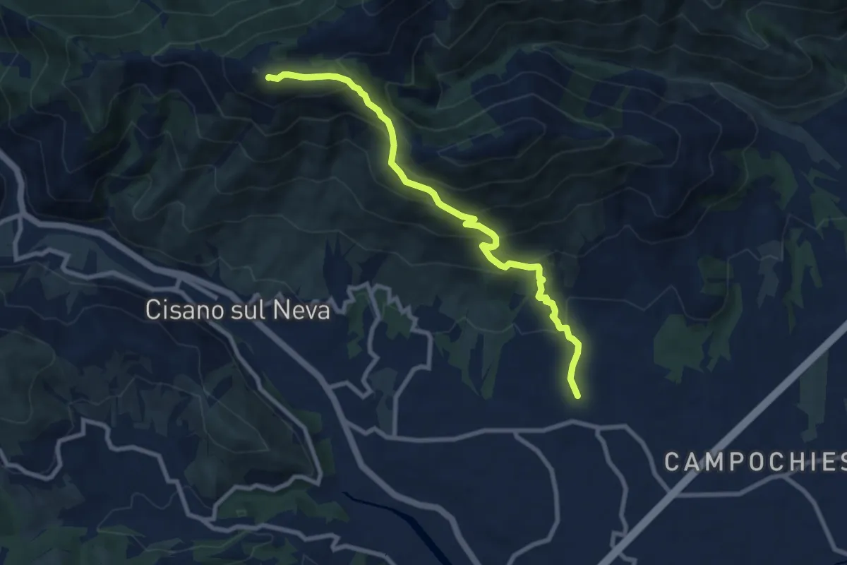
Medium · Summit
Salea - San Giacomo - Poggio Ceresa
8.4 km · ↑ 632 m · 3 h 21 min · 4 km away
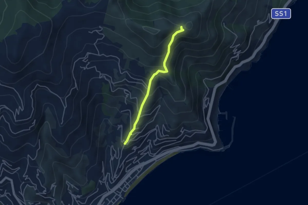
Medium · Trail
Solva - Monte Bignone
3.4 km · ↑ 350 m · 1 h 34 min · 5 km away
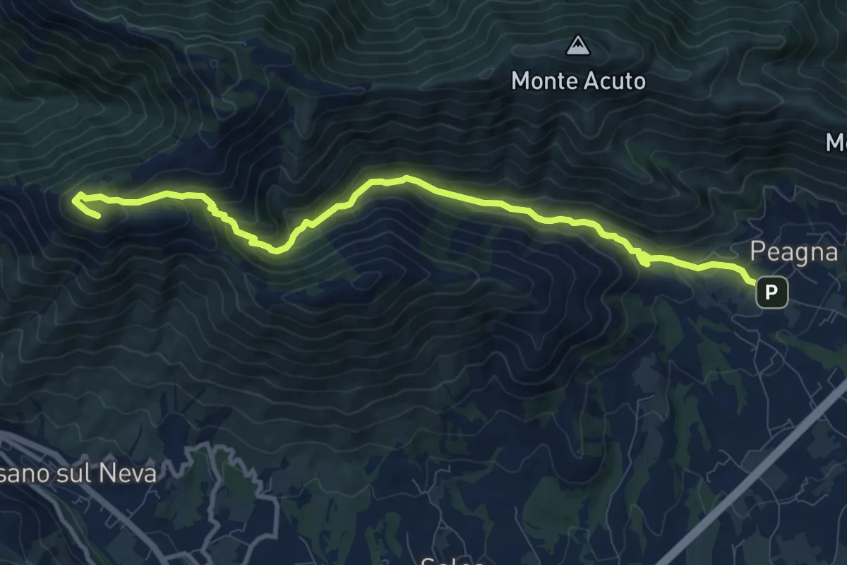
Medium · Summit
Peagna - Rio Ibà - Pizzo Ceresa
11.1 km · ↑ 588 m · 3 h 54 min · 5 km away
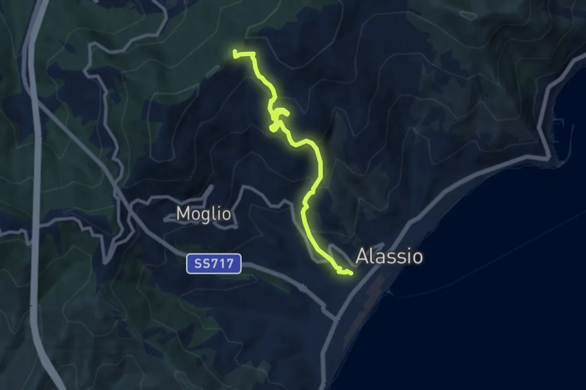
Medium · Trail
Alassio - Vegliasco - Sella di Caso
7.1 km · ↑ 538 m · 2 h 51 min · 5 km away
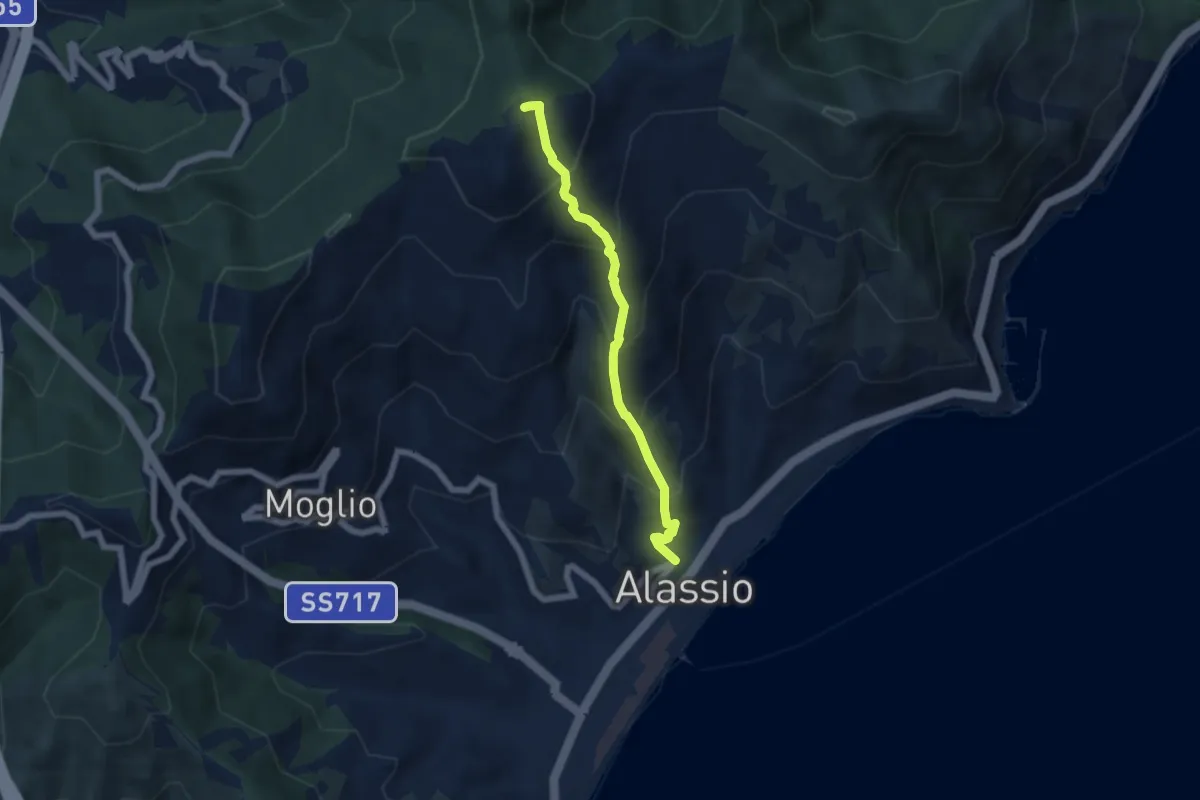
Medium · Summit
Alassio - Monte Pisciavino
5.4 km · ↑ 563 m · 2 h 30 min · 6 km away
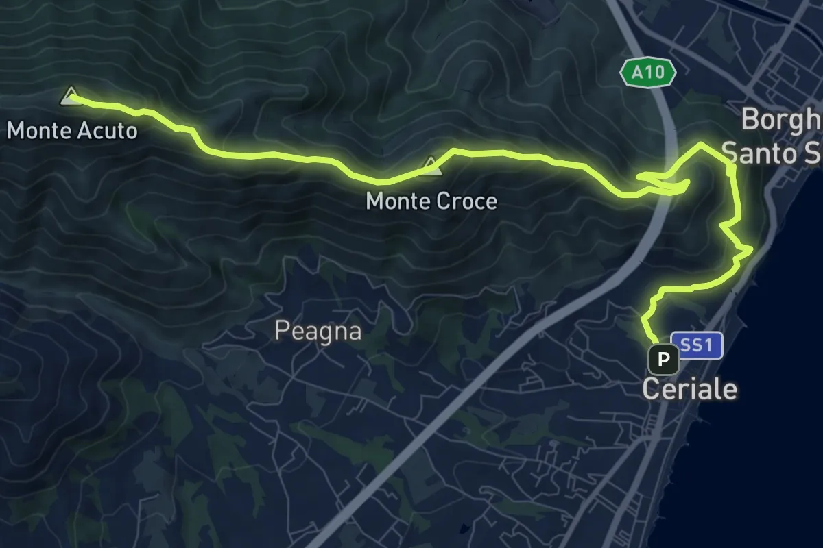
Demanding · Summit
Ceriale - Santuario di Monte Croce - Martinetto
13.0 km · ↑ 970 m · 5 h 10 min · 6 km away
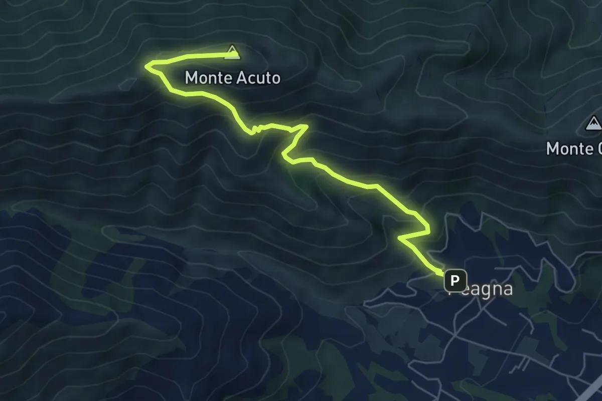
Demanding · Summit
Peagna - Monte Acuto
6.8 km · ↑ 560 m · 2 h 50 min · 6 km away
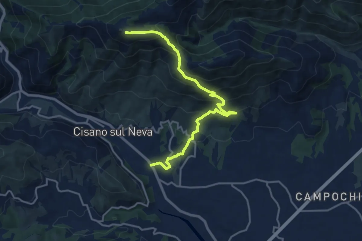
Medium · Summit
Cisiano sul Neva – Poggio Ceresa
10.4 km · ↑ 711 m · 3 h 59 min · 6 km away
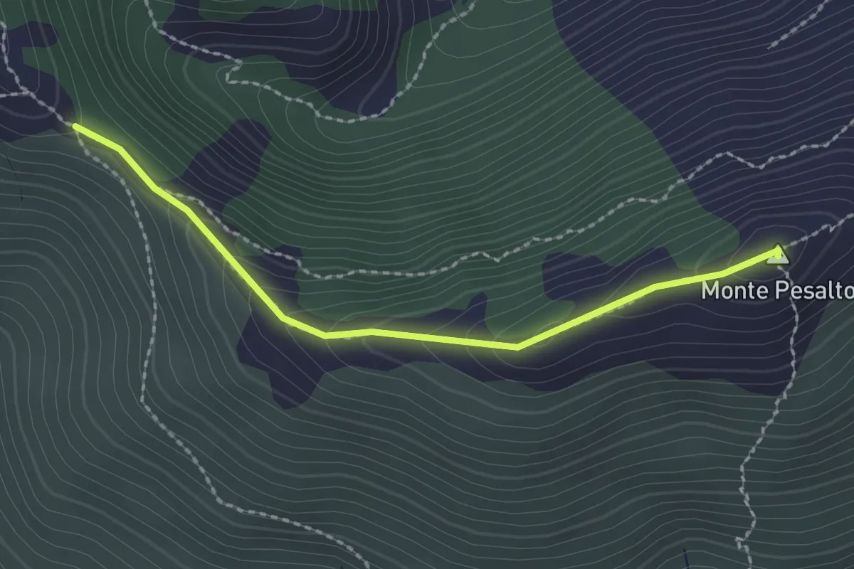
Medium · Summit
Salita al Pesalto
2.2 km · ↑ 147 m · 50 min · 7 km away
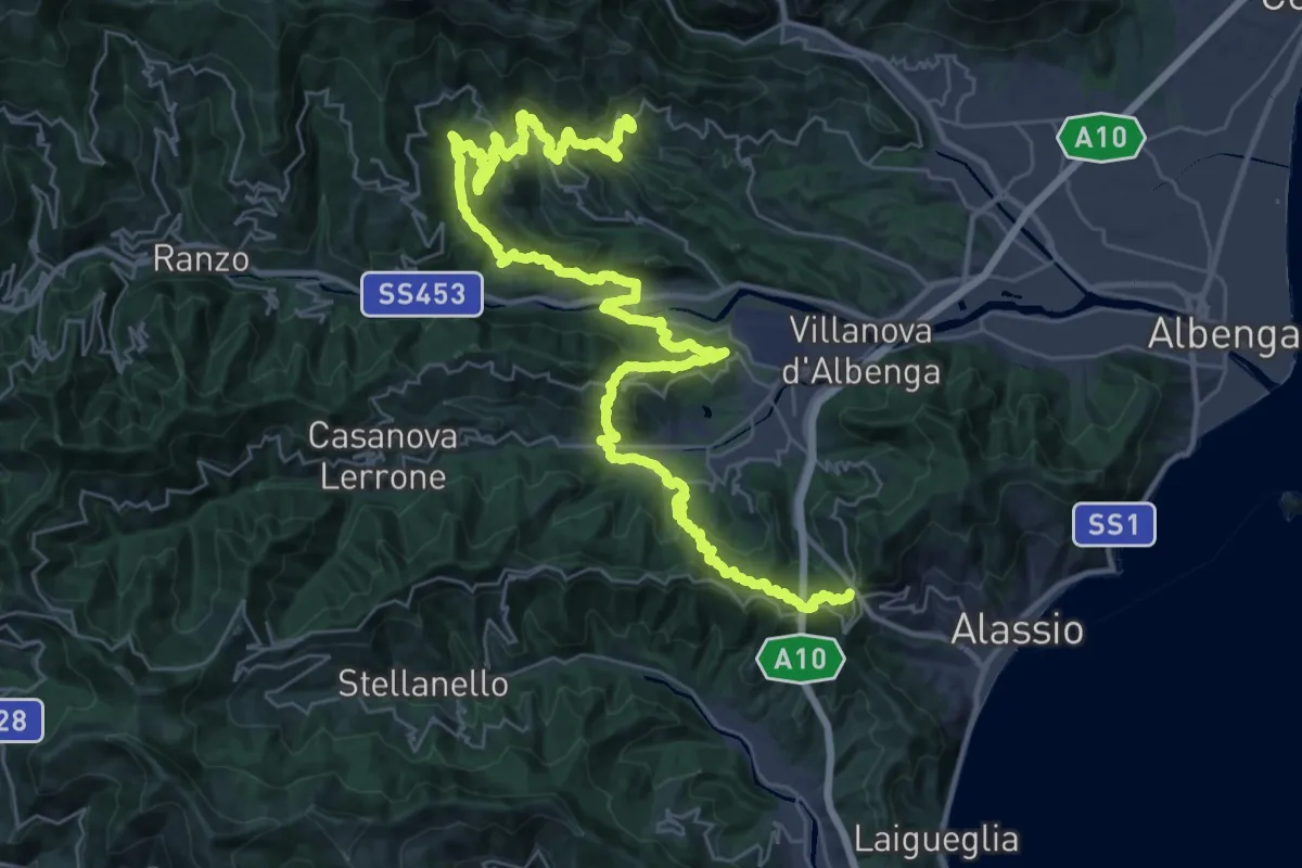
Demanding · Trail
Sentiero Liguria - Tappa 22- variante 2
25.5 km · ↑ 1228 m · 9 h 4 min · 7 km away
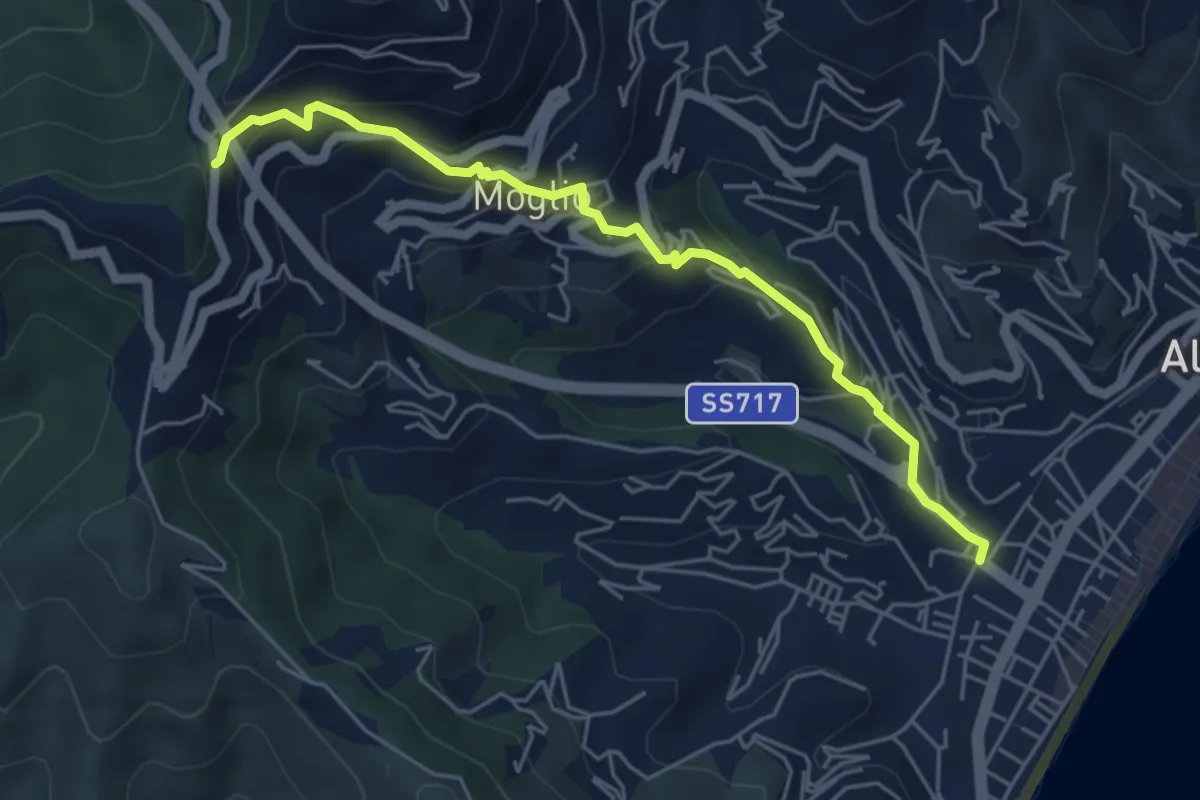
Medium · Trail
Alassio - Moglio
5.5 km · ↑ 400 m · 2 h 9 min · 7 km away
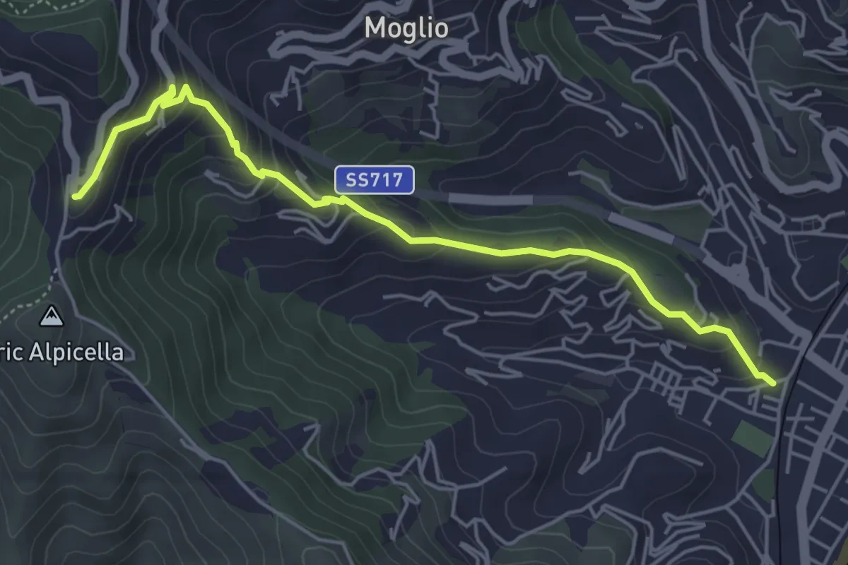
Medium · Trail
Alassio - Crocetta
5.3 km · ↑ 346 m · 2 h · 8 km away
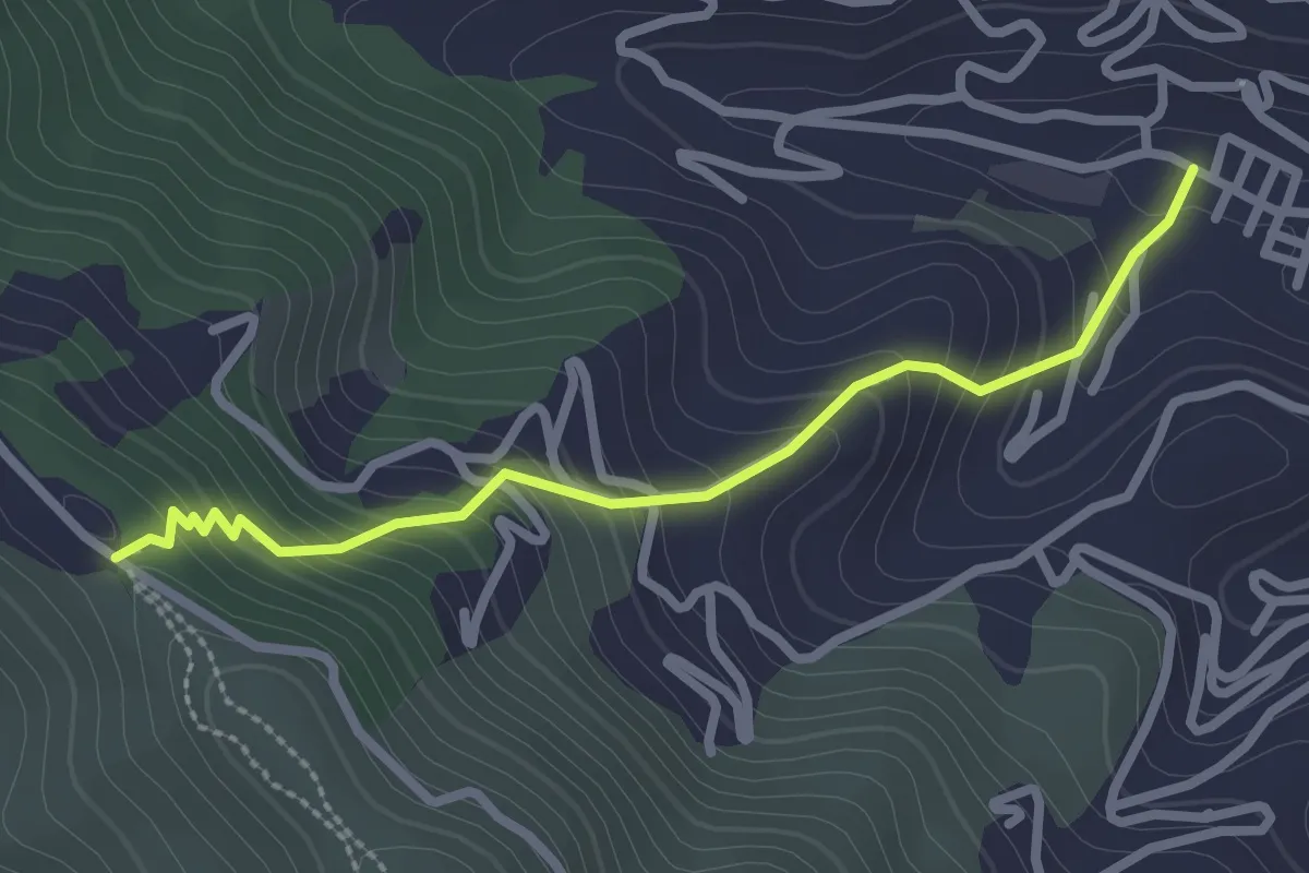
Easy · Trail
Alassio - San Bernardo
2.7 km · ↑ 248 m · 1 h 10 min · 8 km away
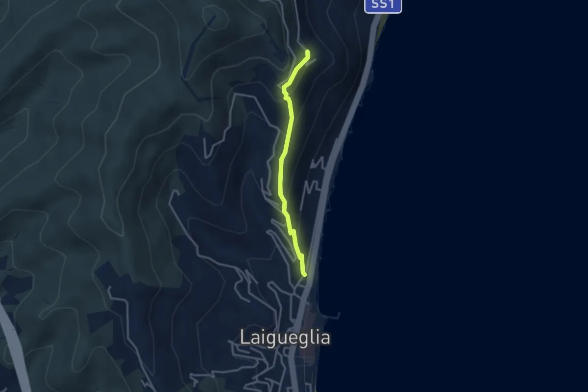
Easy · Trail
Laigueglia - Strada per San Bernardo
2.6 km · ↑ 237 m · 1 h 7 min · 8 km away
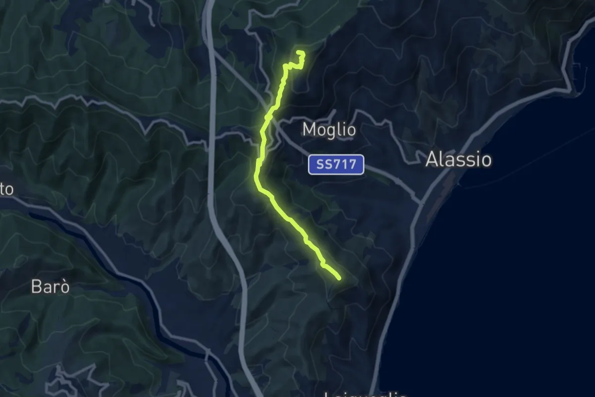
Medium · Summit
Albenga - Monte Bignone - Madonna della Guardia - Poggio Brea
8.6 km · ↑ 553 m · 3 h 13 min · 8 km away
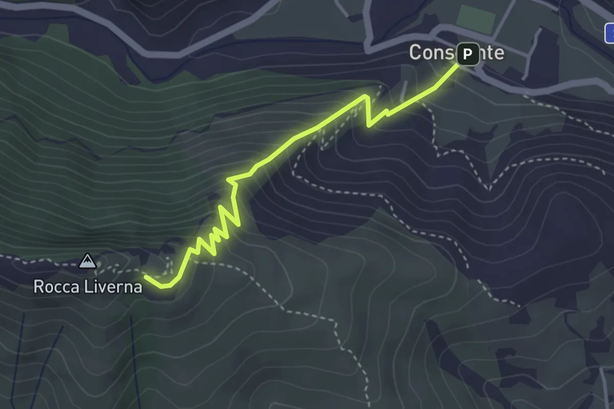
Medium · Trail
Conscente - Rocca Livernà
3.6 km · ↑ 440 m · 1 h 48 min · 8 km away
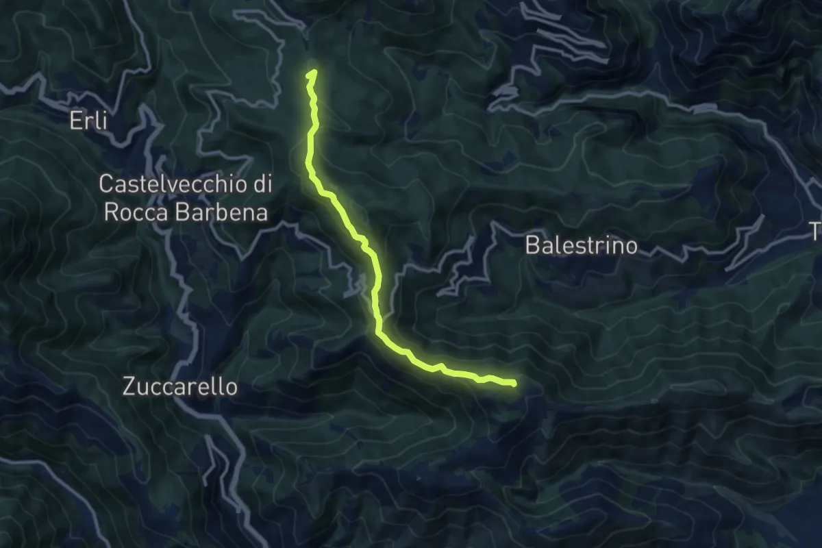
Medium · Summit
Poggio Grande - Monte Guardiola - Colle Scravaion
10.2 km · ↑ 408 m · 3 h 18 min · 8 km away
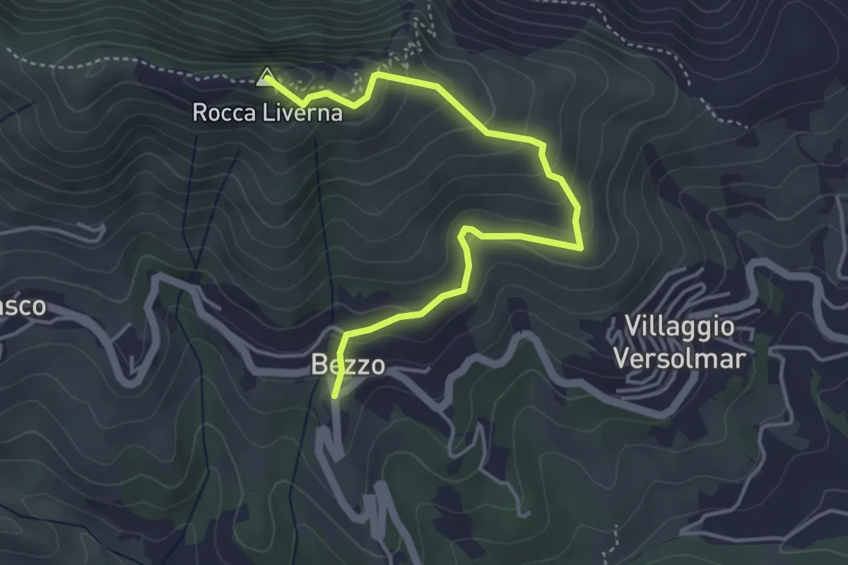
Medium · Summit
Bezzo - Rocca Livernà
4.5 km · ↑ 300 m · 1 h 43 min · 8 km away
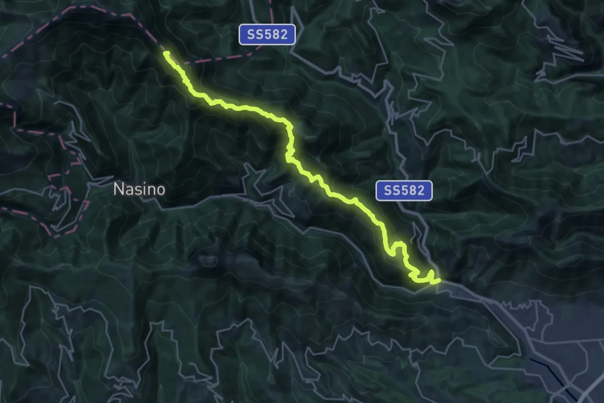
Demanding · Summit
Martinetto - Sella d'Alpe - Passo delle Caranche
26.3 km · ↑ 2010 m · 10 h 34 min · 8 km away
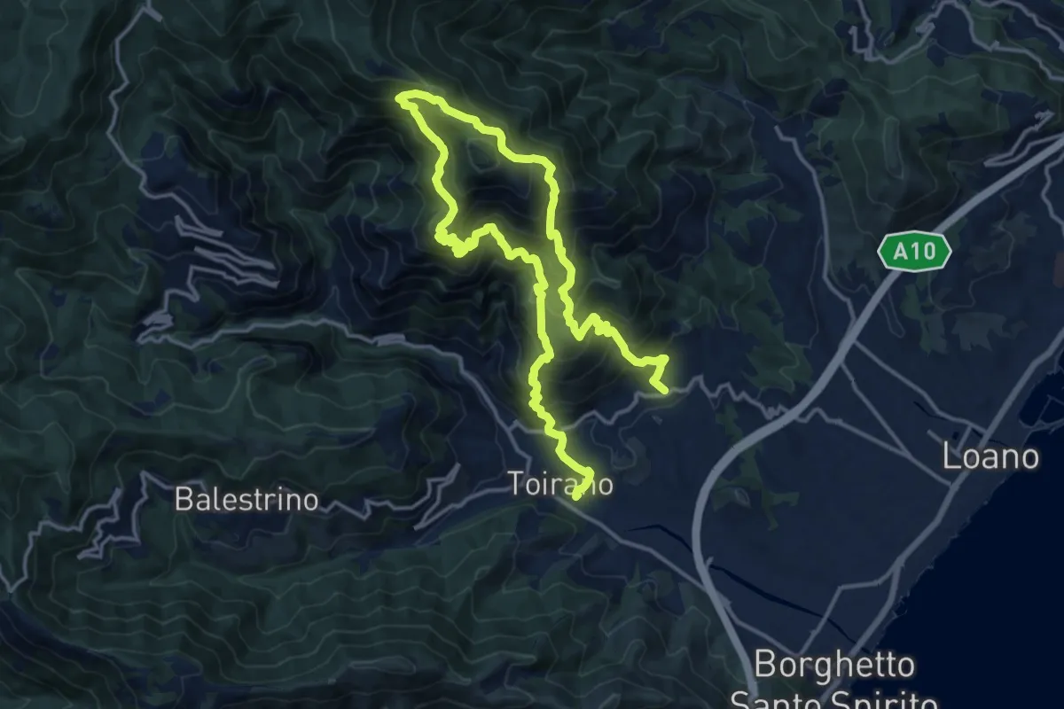
Demanding · Trail
Sentiero Liguria - Tappa 21
12.0 km · ↑ 1081 m · 5 h 19 min · 8 km away
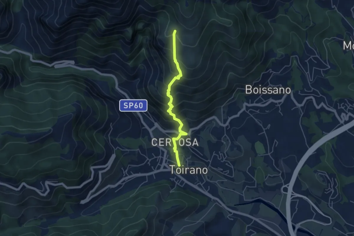
Medium · Trail
Toirano - Ca' dei Prati
4.7 km · ↑ 454 m · 2 h 6 min · 9 km away
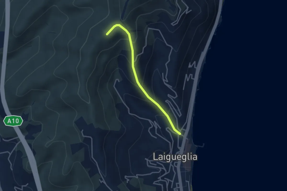
Easy · Summit
Laigueglia - Poggio Baiale
2.8 km · ↑ 279 m · 1 h 16 min · 9 km away
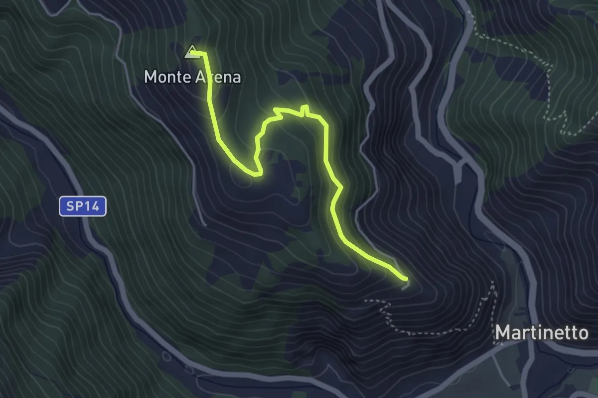
Easy · Summit
Variante Ingauna del Sentiero Liguria – Colletta di Castelbianco
4.2 km · ↑ 234 m · 1 h 31 min · 9 km away
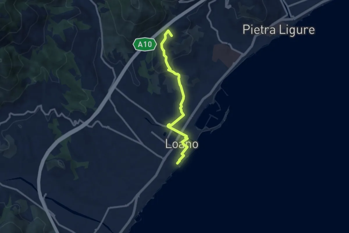
Easy · Summit
Sentiero Liguria – Loano
7.3 km · ↑ 180 m · 2 h 7 min · 9 km away
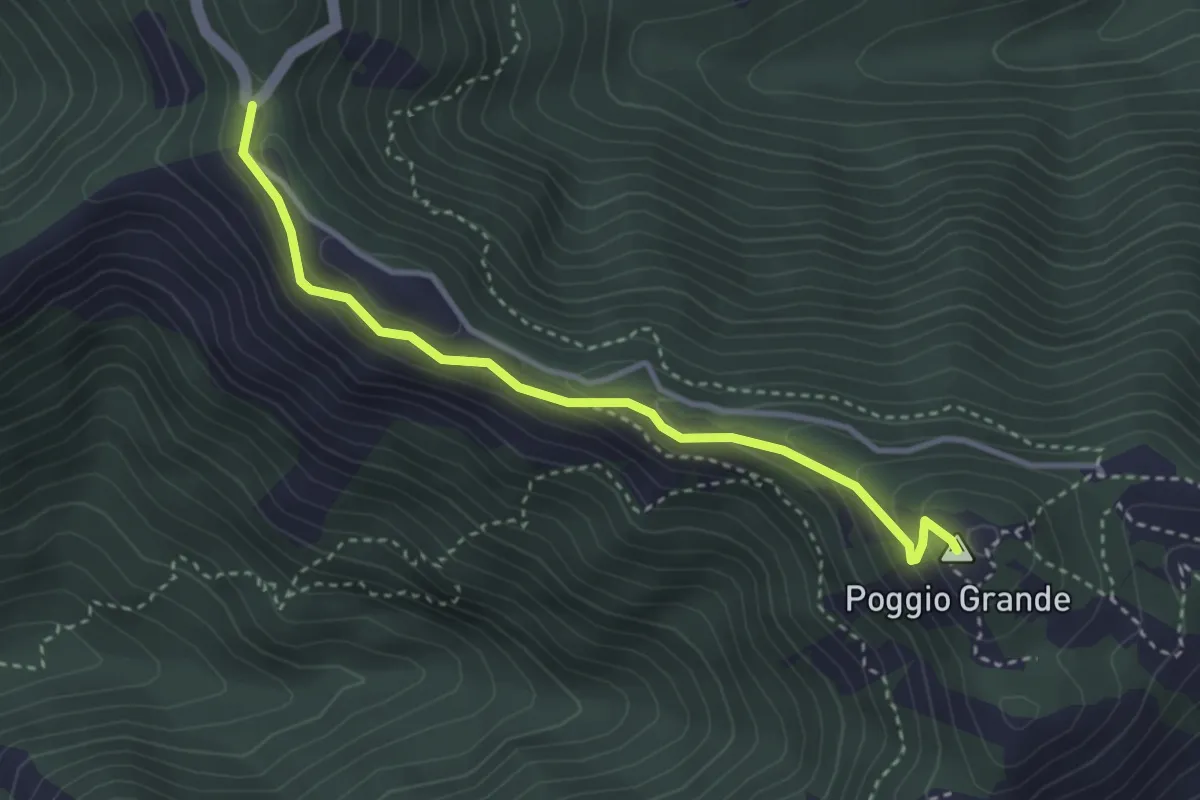
Easy · Summit
Anello del Poggio Grande
3.5 km · ↑ 167 m · 1 h 11 min · 9 km away
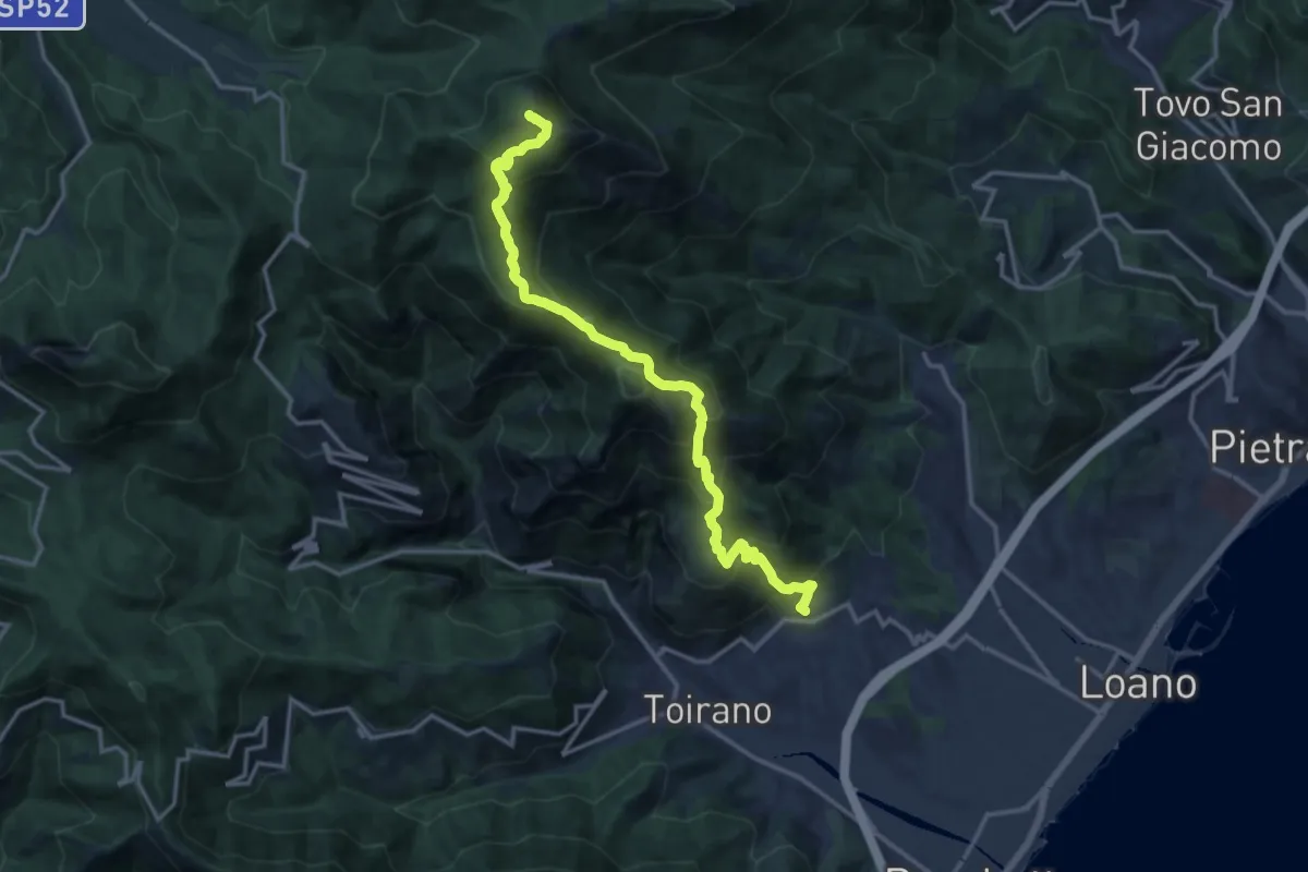
Demanding · Summit
Boissano - Monte Carmo
25.4 km · ↑ 1896 m · 10 h 6 min · 10 km away
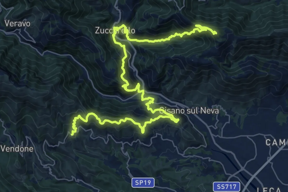
Demanding · Summit
Sentiero Liguria - Tappa 22- variante 1
36.8 km · ↑ 2553 m · 14 h 14 min · 10 km away
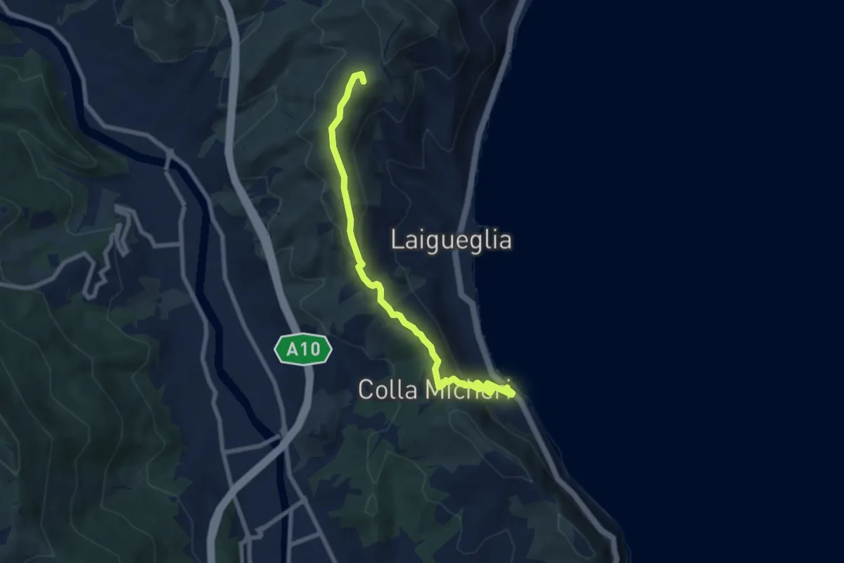
Easy · Summit
Laigueglia - Colla Micheri - San Bernardo
7.6 km · ↑ 294 m · 2 h 25 min · 10 km away
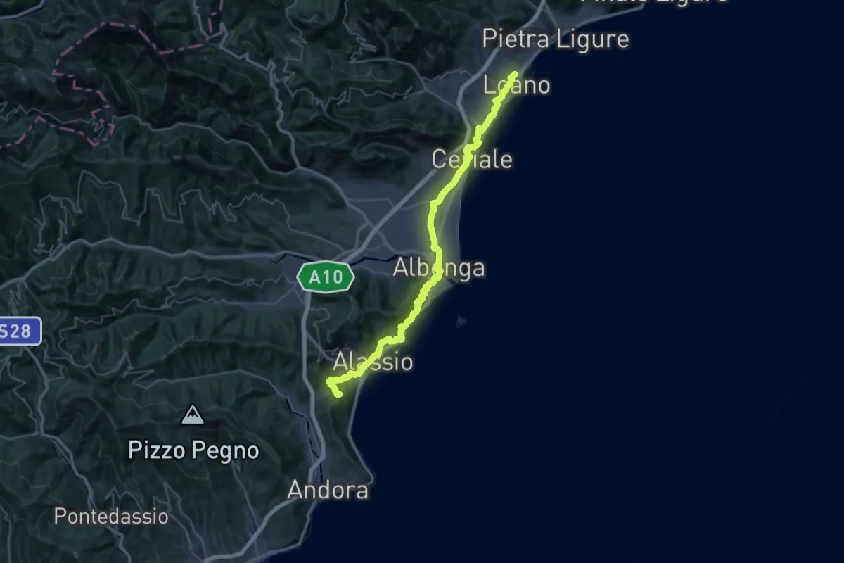
Demanding · Summit
Via della Costa - tappa 4
47.1 km · ↑ 1416 m · 14 h 11 min · 10 km away
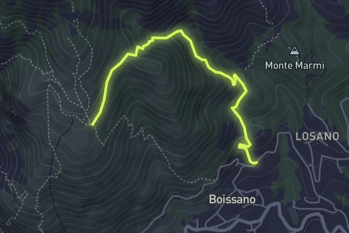
Medium · Trail
Boissano - San Pietrino
4.9 km · ↑ 380 m · 1 h 58 min · 10 km away
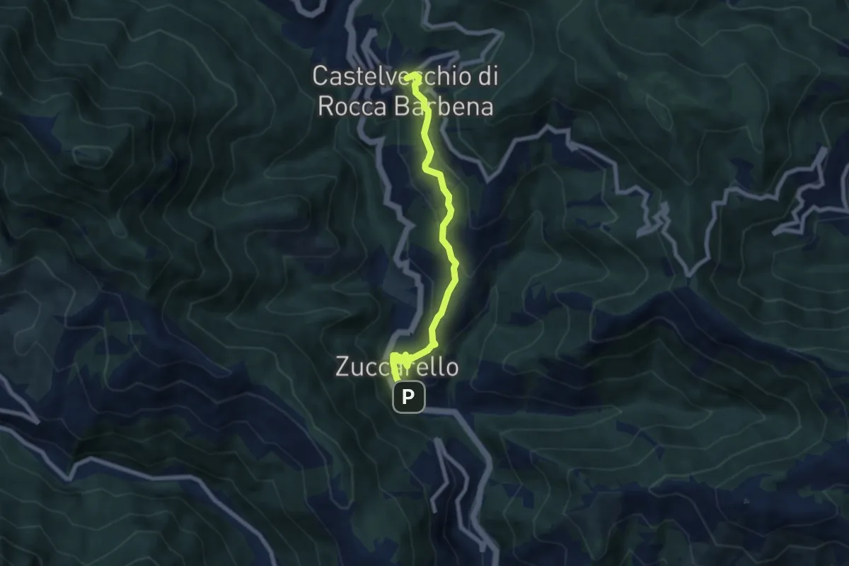
Medium · Trail
Zuccarello – Castelvecchio di Rocca Barbena
6.7 km · ↑ 333 m · 2 h 18 min · 10 km away
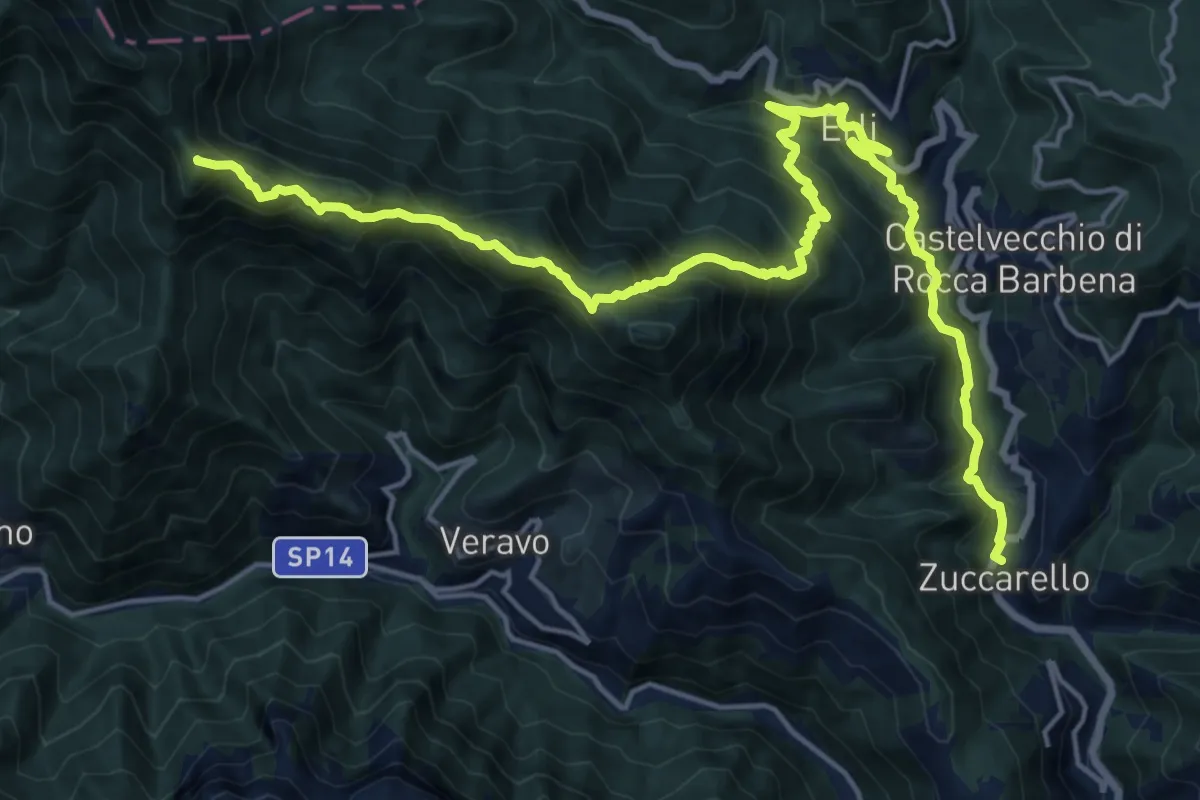
Demanding · Summit
Terre Alte (Ponterotto - Nasino - Monte Alpe - Erti - Zuccarello)
22.4 km · ↑ 1653 m · 8 h 52 min · 10 km away
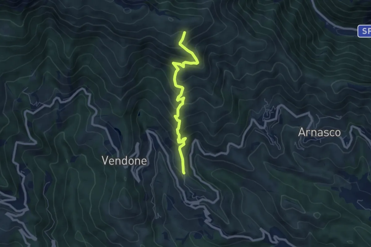
Medium · Trail
Castellaro - Monte Pendino
6.1 km · ↑ 518 m · 2 h 34 min · 11 km away
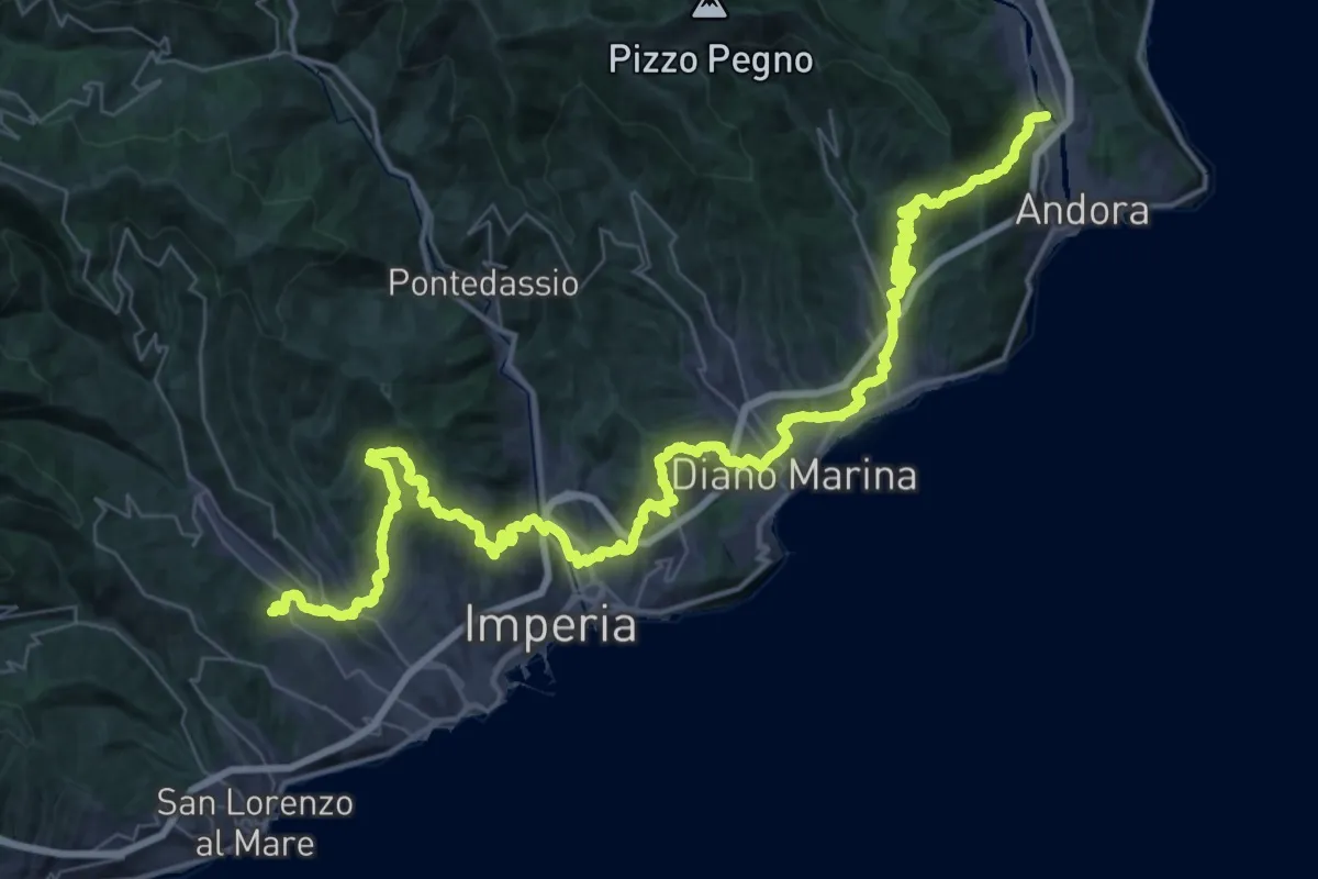
Demanding · Trail
Via della Costa - tappa 3
31.2 km · ↑ 1204 m · 10 h 21 min · 11 km away
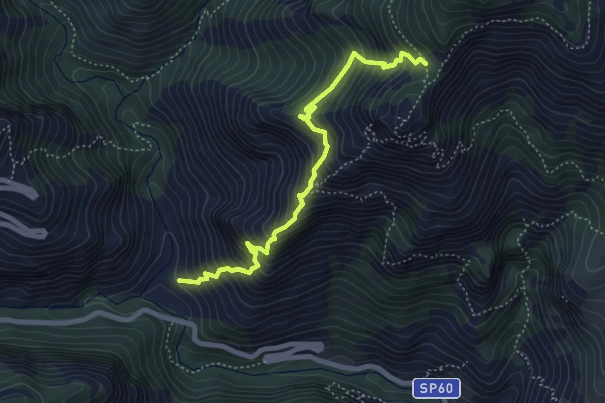
Demanding · Trail
Salto del Lupo - San Pietro dei Monti
4.7 km · ↑ 716 m · 2 h 40 min · 11 km away
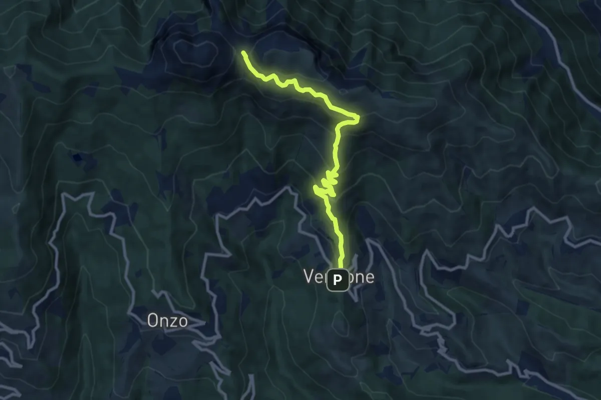
Medium · Trail
Vendone - Colla di Curenna
9.3 km · ↑ 599 m · 3 h 30 min · 11 km away
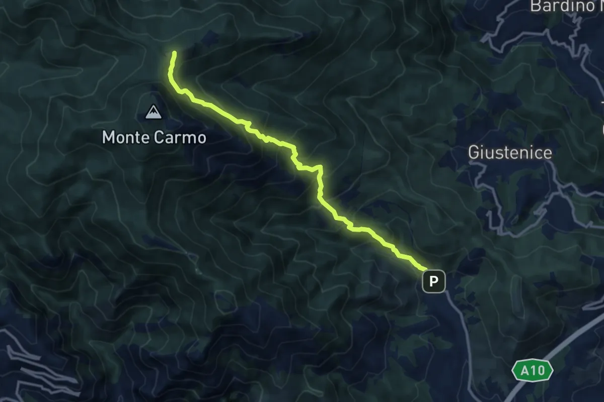
Demanding · Trail
Verzi – Giogo di Giustenice
11.3 km · ↑ 973 m · 4 h 47 min · 12 km away
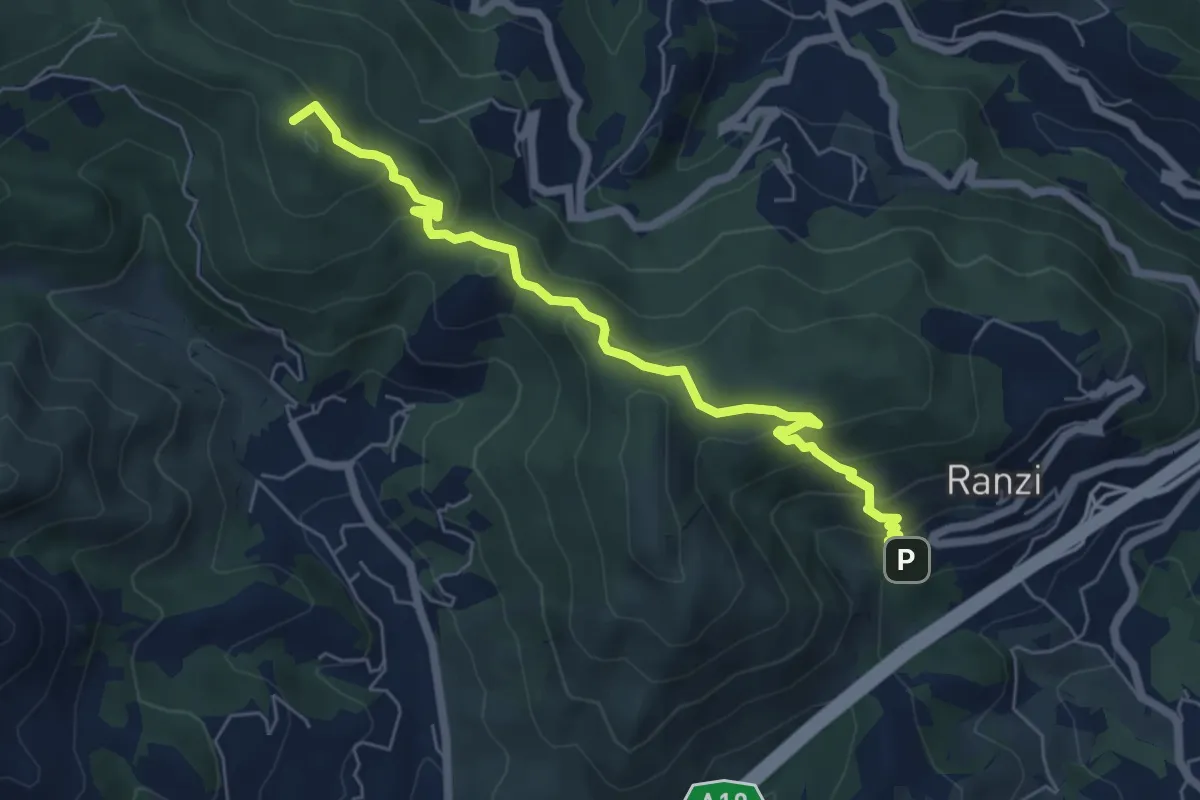
Medium · Summit
Ranzi - Rifugio Pian delle Bosse - Giogo di Giustenice
6.6 km · ↑ 402 m · 2 h 25 min · 12 km away
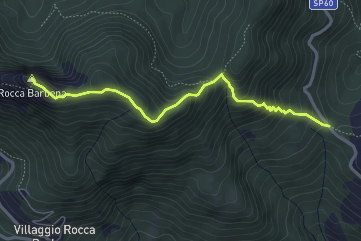
Medium · Summit
Colla Alzabecchi - Rocca Barbena
5.2 km · ↑ 464 m · 2 h 14 min · 12 km away
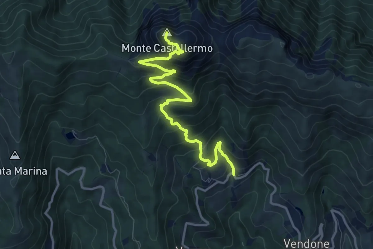
Medium · Summit
Curenna - Castell'Ermo
9.7 km · ↑ 747 m · 3 h 54 min · 13 km away
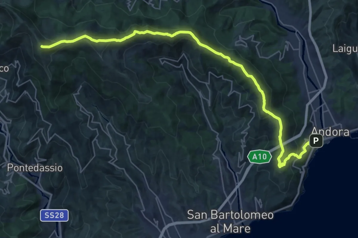
Demanding · Summit
Andora - Pizzo d'Evigno - Passo del Ginestro
29.5 km · ↑ 1471 m · 10 h 9 min · 13 km away
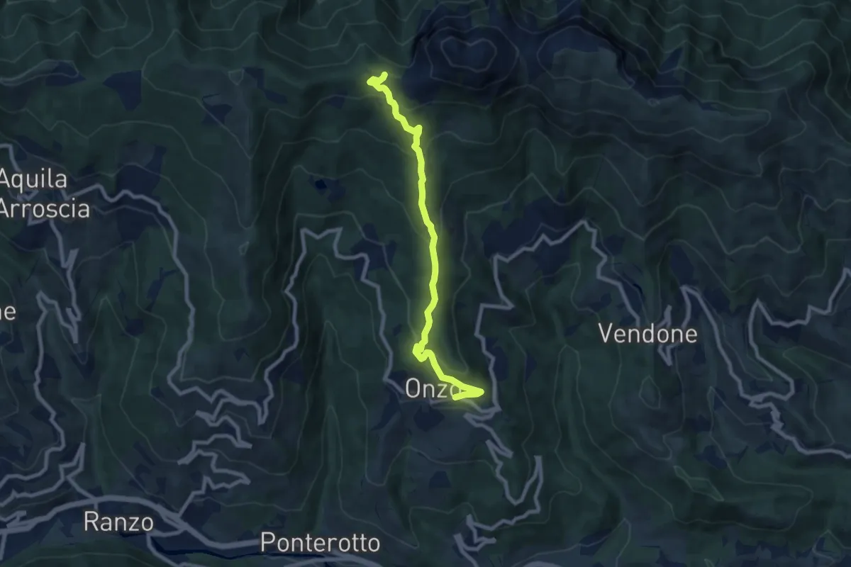
Medium · Trail
Onzo - Colla d'Onzo
8.2 km · ↑ 434 m · 2 h 52 min · 13 km away