Trails near Albisola Superiore
94 hikes starting within 15 km, nearest first.
Nearest first, page 2 of 2
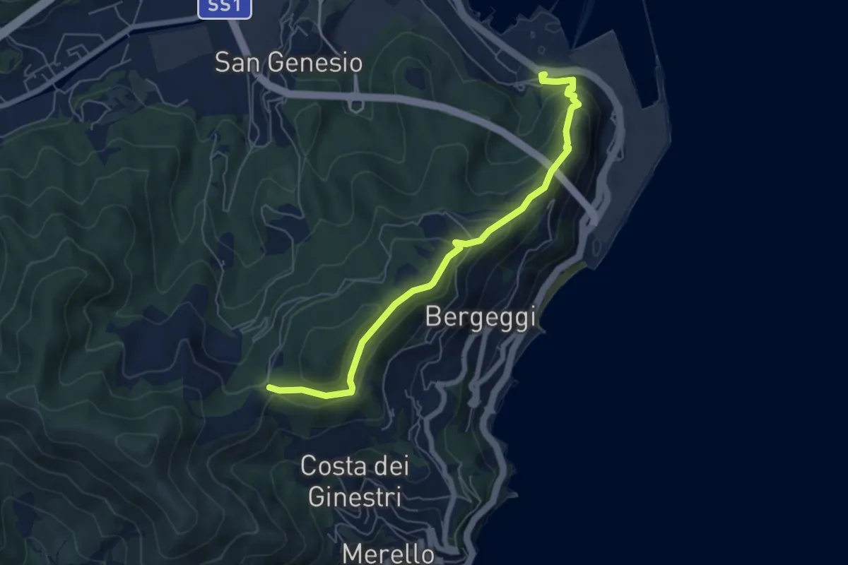
Medium · Trail
Vado Ligure - Gola di Sant'Elena
6.2 km · ↑ 360 m · 2 h 14 min · 10 km away
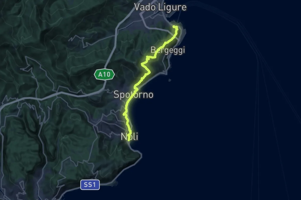
Demanding · Trail
Sentiero Liguria - Tappa 18
19.2 km · ↑ 945 m · 6 h 35 min · 10 km away
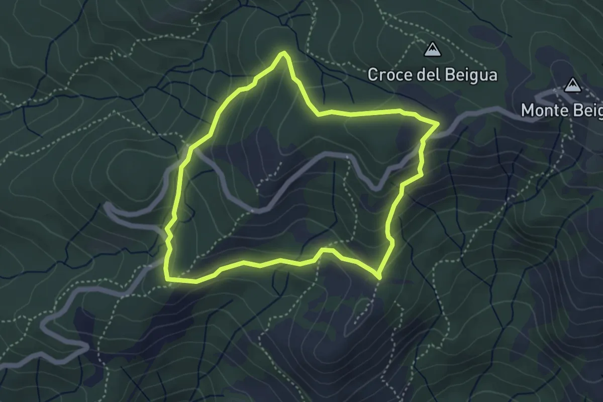
Medium · Summit
Sentiero Napoleonico del Beigua "rosso"
3.9 km · ↑ 177 m · 1 h 22 min · 10 km away
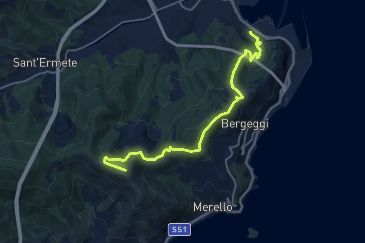
Medium · Summit
Vado Ligure - Monte Mao - Spotorno
10.6 km · ↑ 577 m · 3 h 45 min · 10 km away
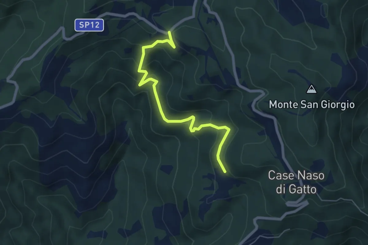
Easy · Trail
Gallina - Case Teggia - Case Bricco - Traversine
5.4 km · ↑ 317 m · 1 h 58 min · 10 km away
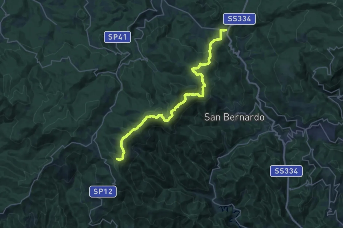
Demanding · Summit
Rifugio Cascina Miera - Il Giovo
21.1 km · ↑ 847 m · 6 h 49 min · 10 km away
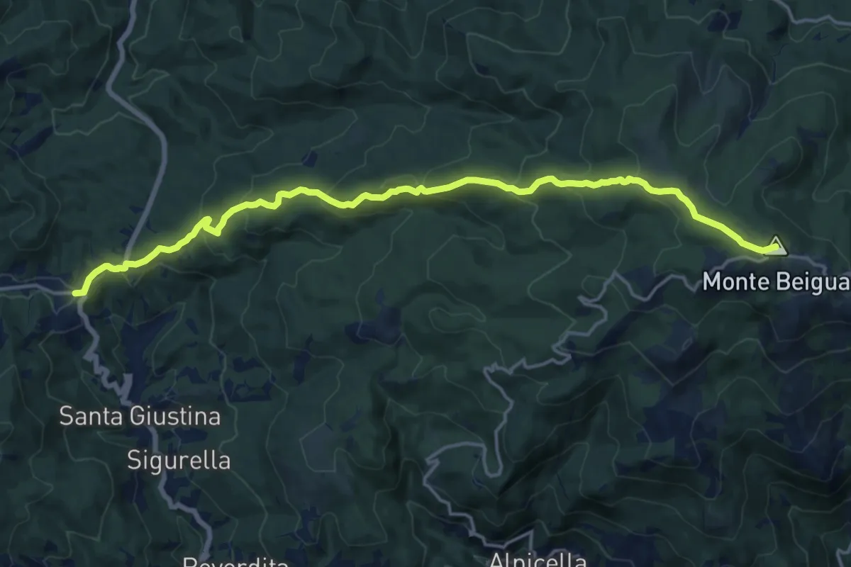
Demanding · Summit
Il Giovo - Prato Rotondo
17.6 km · ↑ 839 m · 5 h 59 min · 10 km away
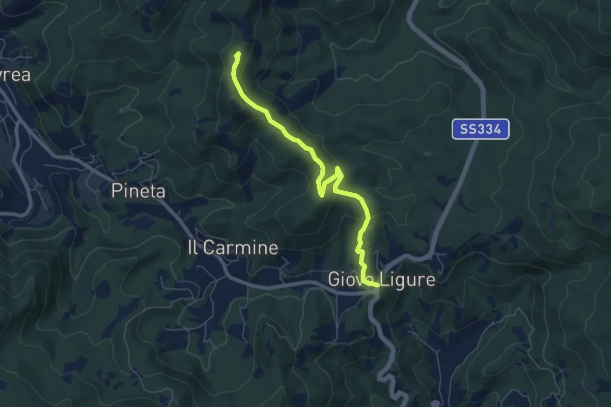
Easy · Summit
Giovo Ligure - Passo di Salmaceto
6.1 km · ↑ 225 m · 1 h 56 min · 10 km away
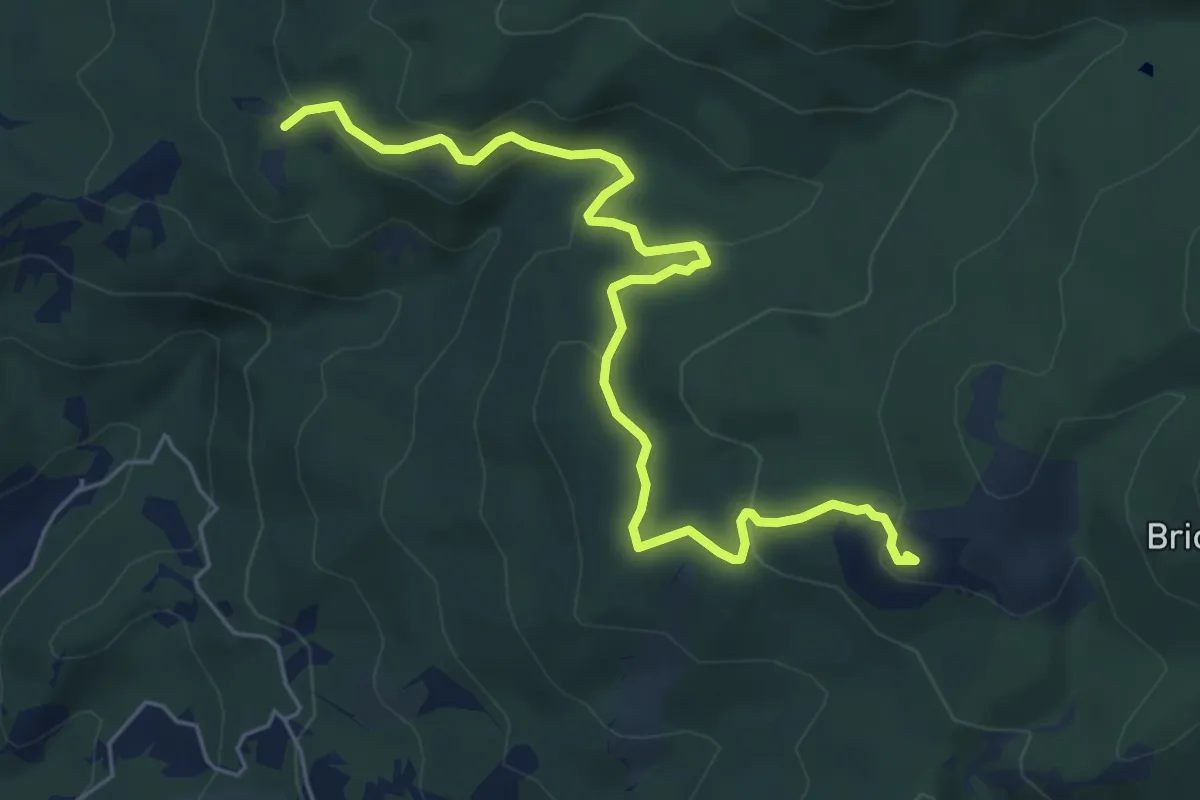
Medium · Summit
Collegamento AVML - Sentiero cerchio barrato
6.8 km · ↑ 270 m · 2 h 11 min · 11 km away
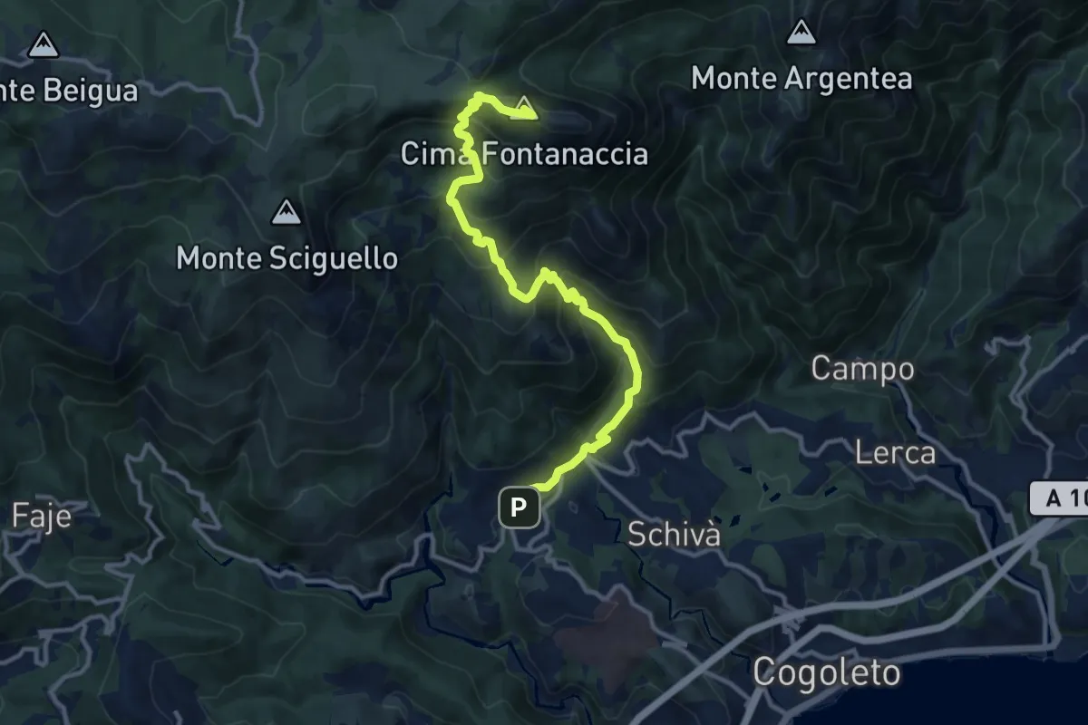
Demanding · Summit
Sciarborasca – Monte Rama
12.3 km · ↑ 998 m · 5 h 4 min · 11 km away
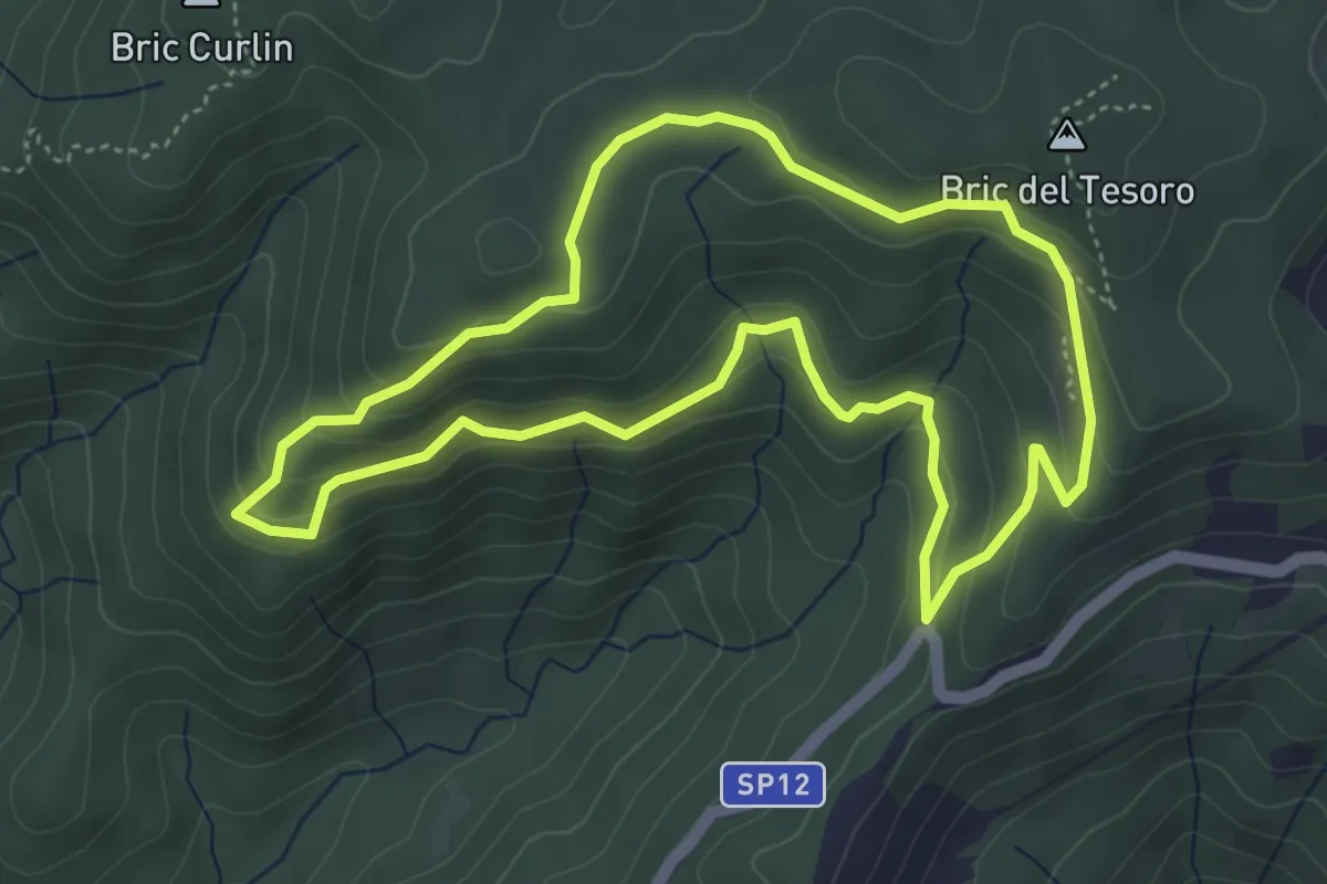
Medium · Summit
Adelasia - Sentiero 1
4.6 km · ↑ 230 m · 1 h 40 min · 11 km away
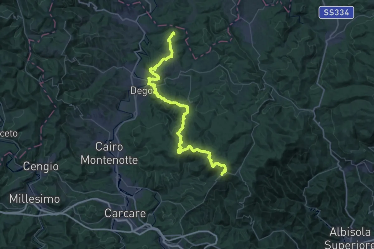
Demanding · Summit
Bormida Natura - Tappa 1
45.4 km · ↑ 1574 m · 14 h 8 min · 11 km away
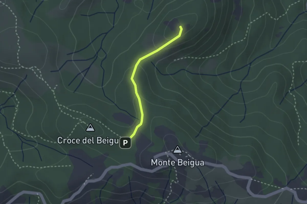
Medium · Summit
Sella del Beigua - Monte Grosso
2.1 km · ↑ 81 m · 41 min · 11 km away
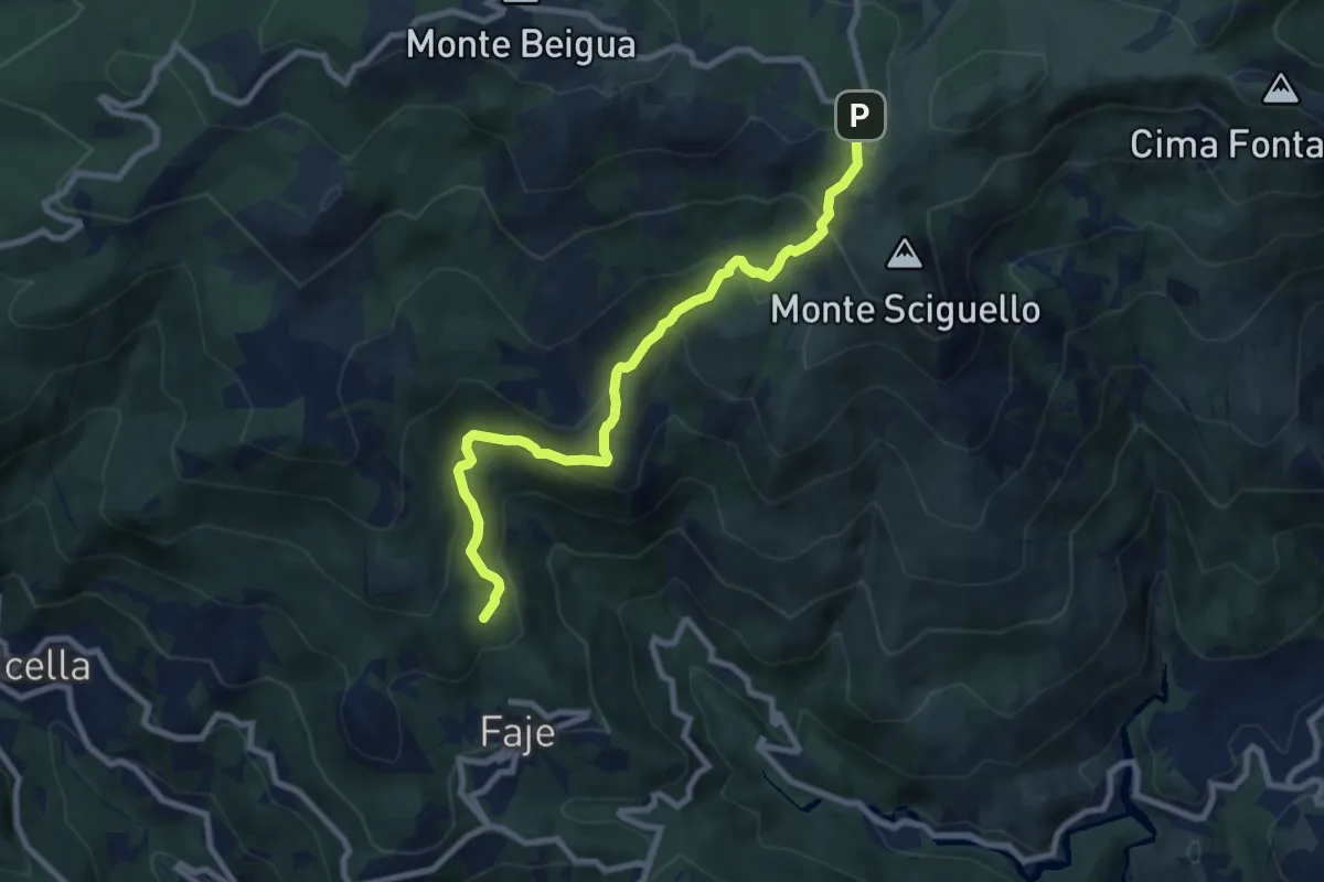
Medium · Summit
Chiesa delle Faie – Pratorotondo
8.7 km · ↑ 528 m · 3 h 11 min · 12 km away
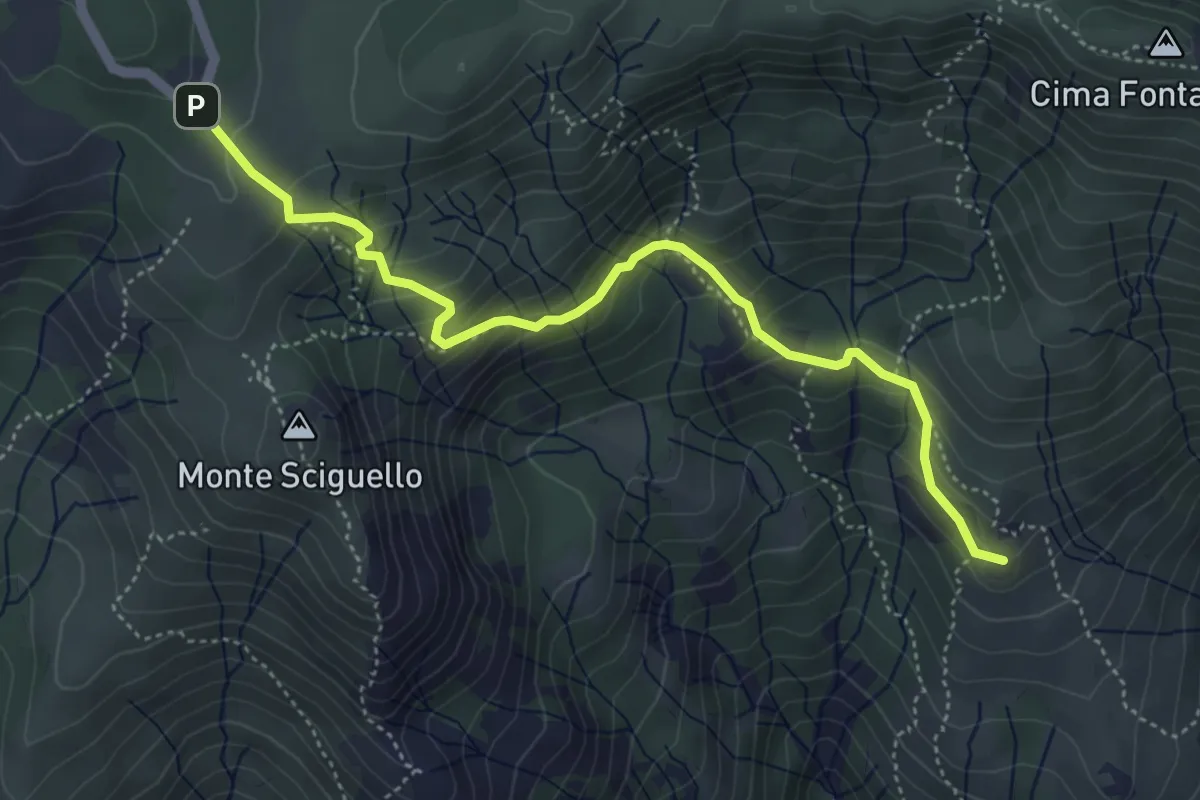
Medium · Summit
Sciarborasca – Prato Rotondo
5.2 km · ↑ 400 m · 2 h 6 min · 12 km away
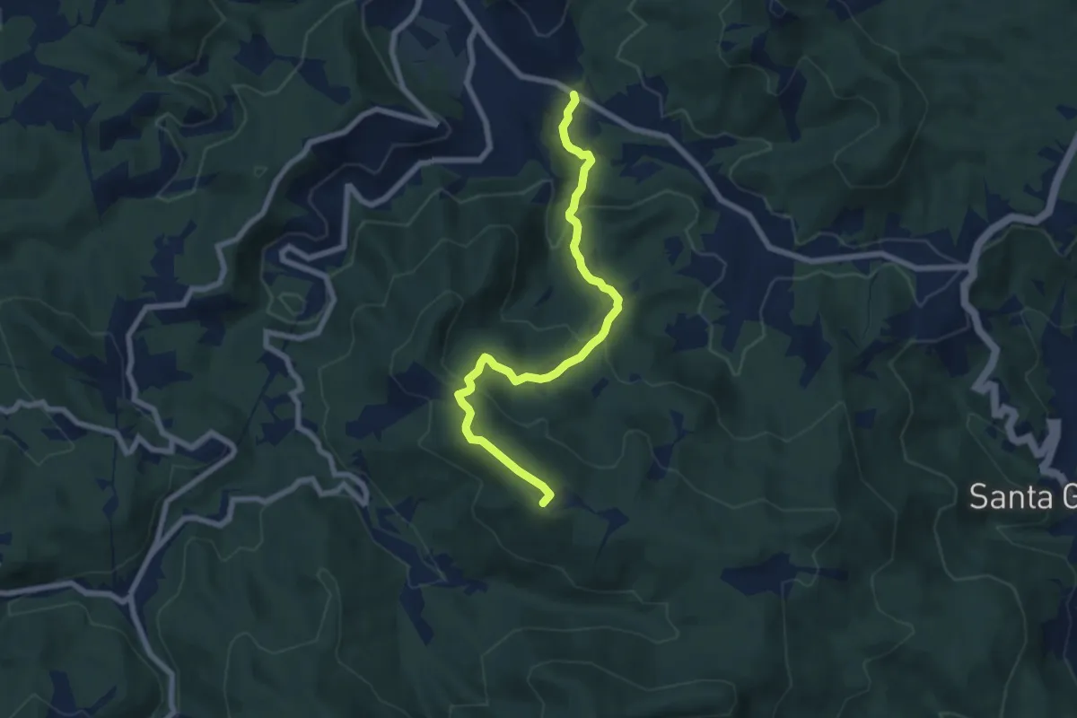
Medium · Summit
Pontinvrea – Pendici Nord Bric Sciappa
7.4 km · ↑ 344 m · 2 h 30 min · 12 km away
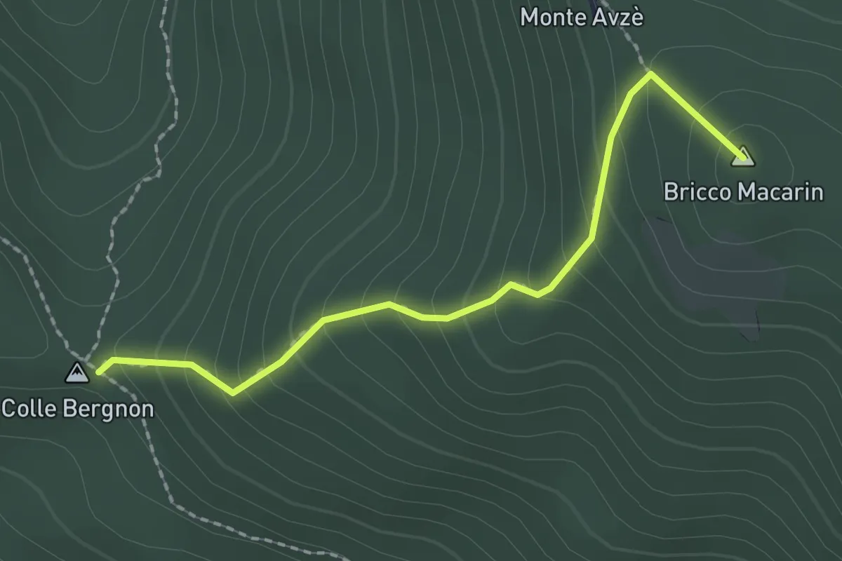
Medium · Summit
Colle Bergnon - Monte Avze'
2.1 km · ↑ 205 m · 56 min · 12 km away
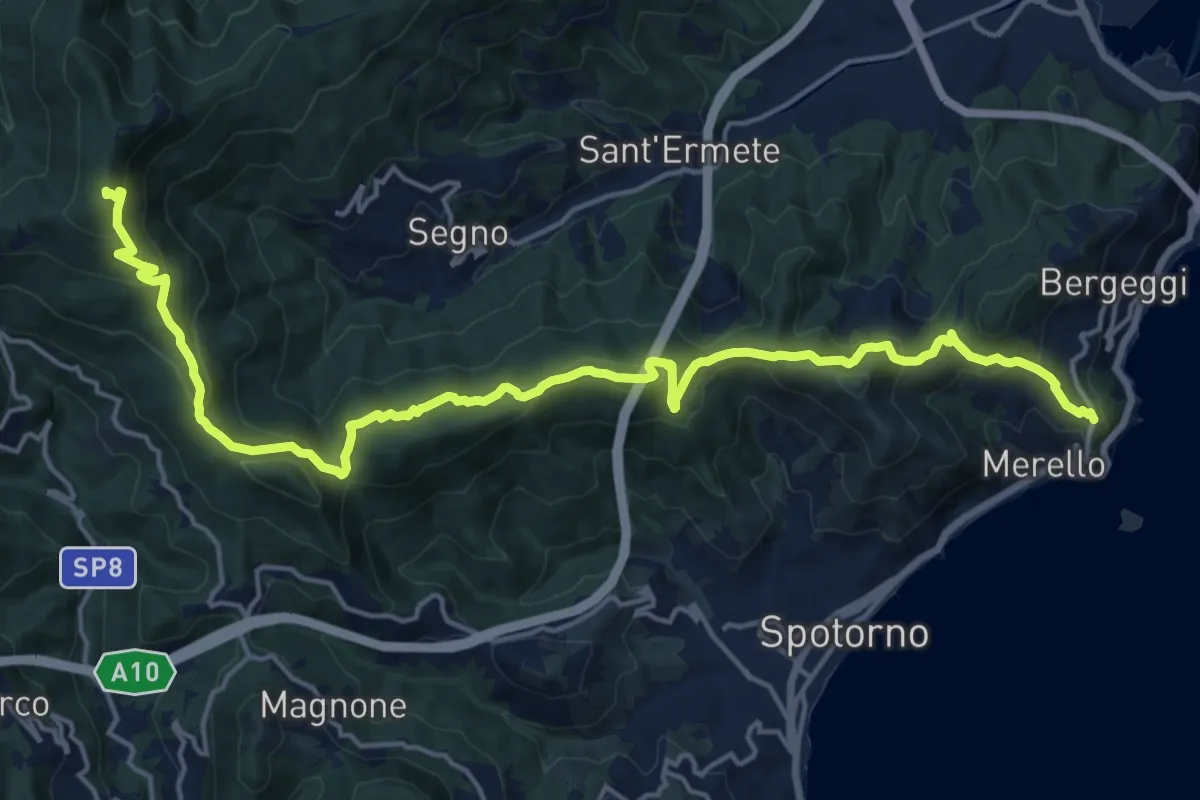
Demanding · Summit
Bergeggi - Monte Mao - Rocca dei Corvi
21.6 km · ↑ 1054 m · 7 h 23 min · 12 km away
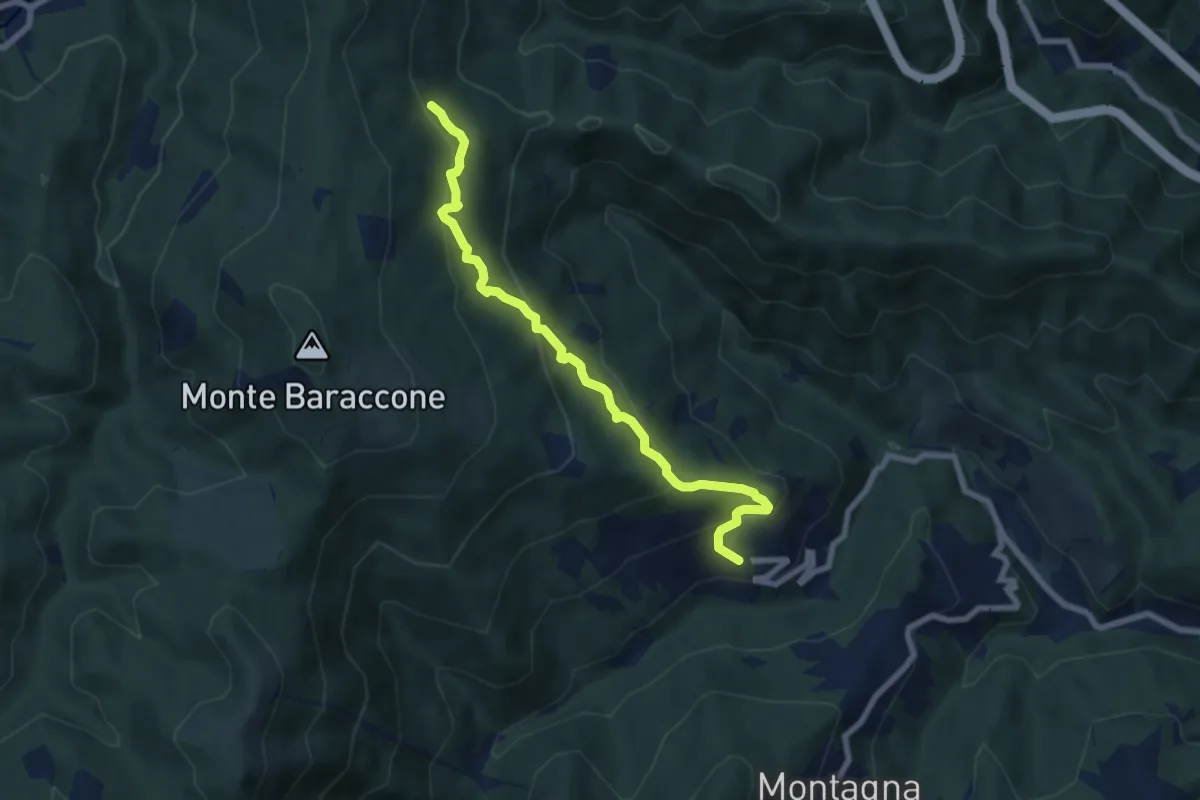
Medium · Trail
Roviasca – Cascina Sarasino
7.6 km · ↑ 476 m · 2 h 50 min · 13 km away
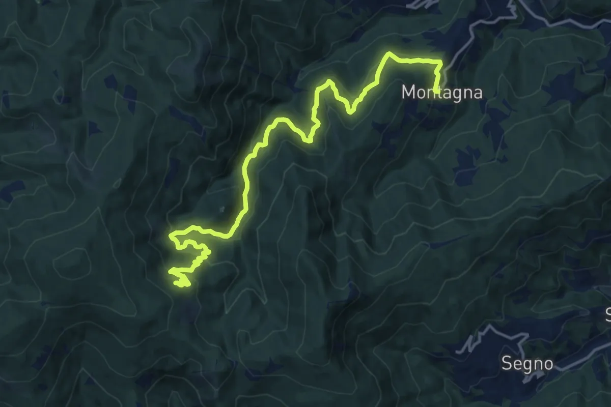
Demanding · Trail
Montagna - Torrente Trexenda - Rocche Bianche
16.7 km · ↑ 879 m · 5 h 51 min · 13 km away
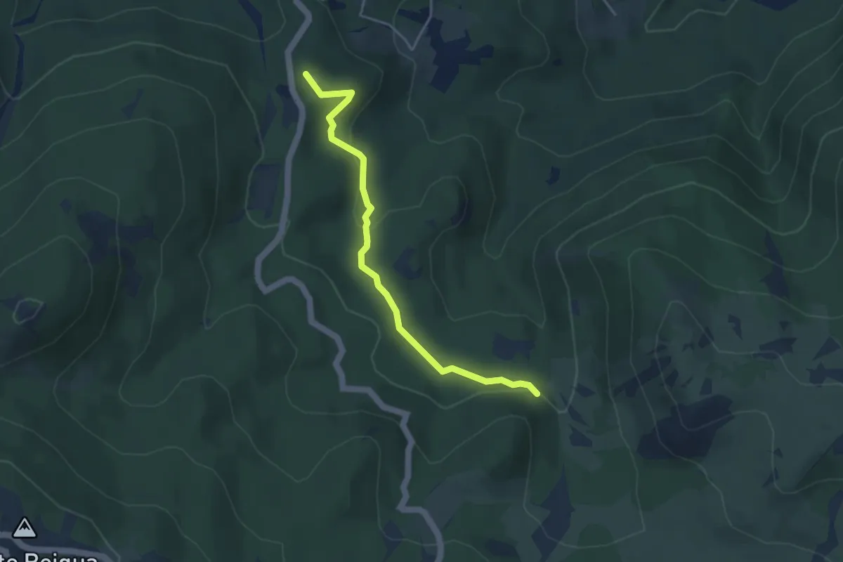
Easy · Summit
Lago della Biscia – Torbiera del Laione
4.1 km · ↑ 115 m · 1 h 12 min · 13 km away
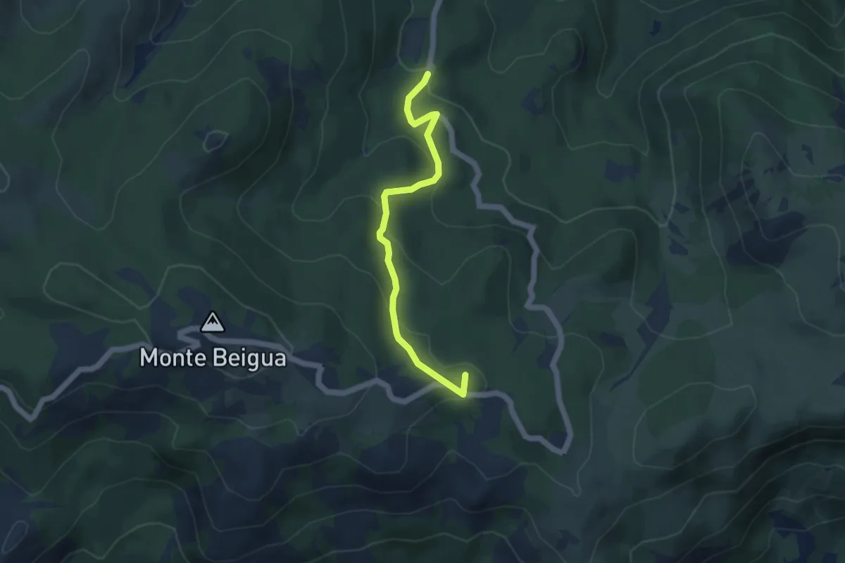
Medium · Summit
Torbiera del Laione - Pratorotondo
4.5 km · ↑ 190 m · 1 h 28 min · 13 km away
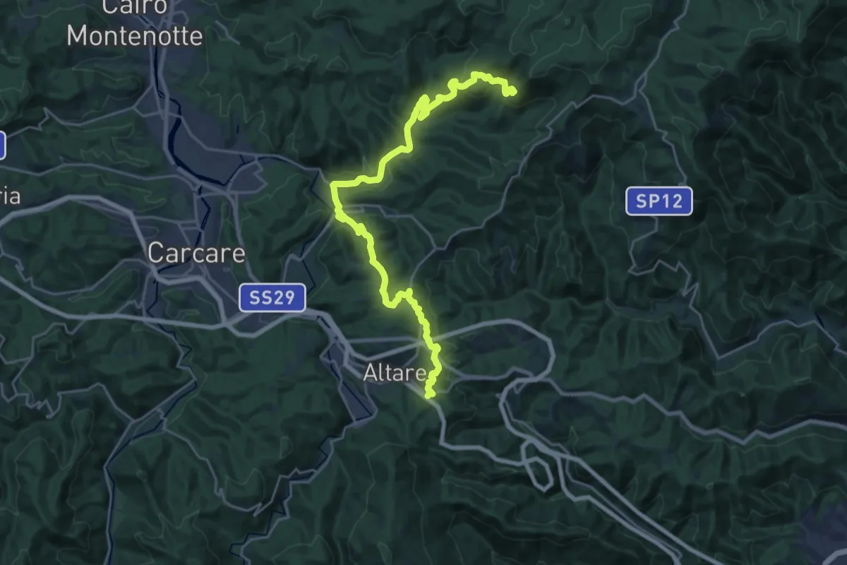
Demanding · Summit
Colle di Cadibona - Rifugio Cascina Miera
26.6 km · ↑ 845 m · 8 h 7 min · 13 km away
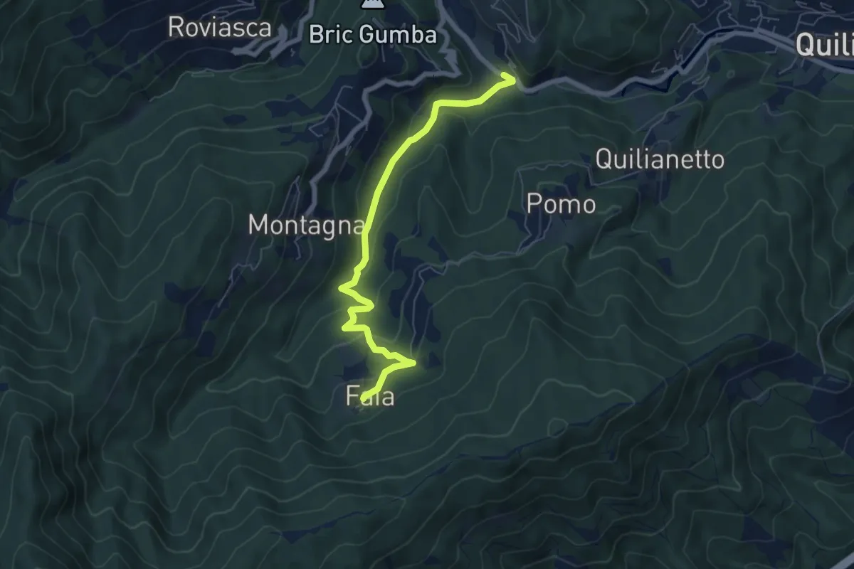
Easy · Trail
Becchi - Cascata Donnaiola - Faia
6.6 km · ↑ 263 m · 2 h 7 min · 13 km away
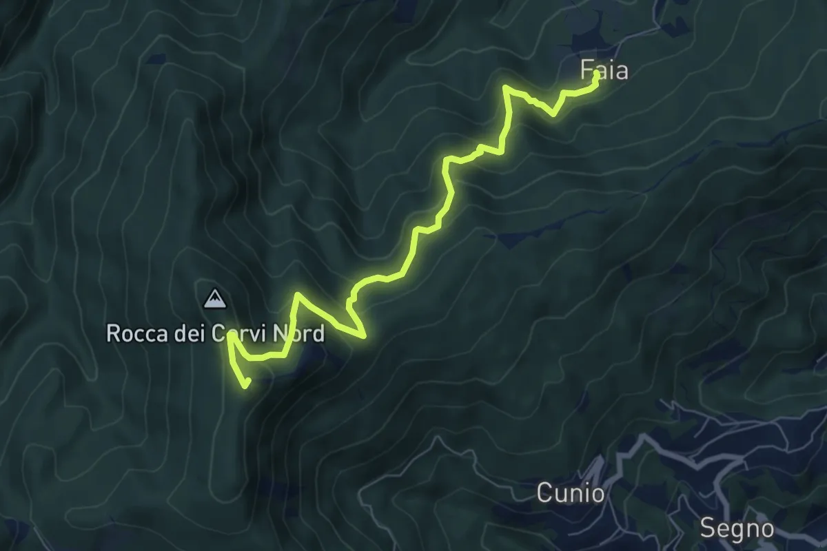
Medium · Summit
Faia - Rocca dei Corvi
7.7 km · ↑ 590 m · 3 h 6 min · 13 km away
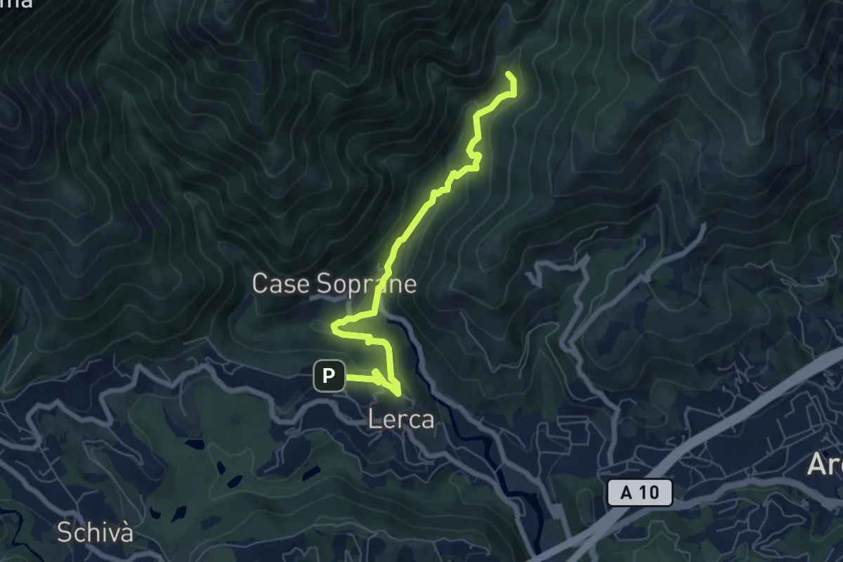
Medium · Trail
S. Anna – Ponte Negrone
6.6 km · ↑ 280 m · 2 h 11 min · 13 km away
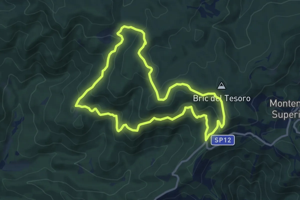
Medium · Summit
Adelasia - Sentiero Airone
8.2 km · ↑ 356 m · 2 h 49 min · 13 km away
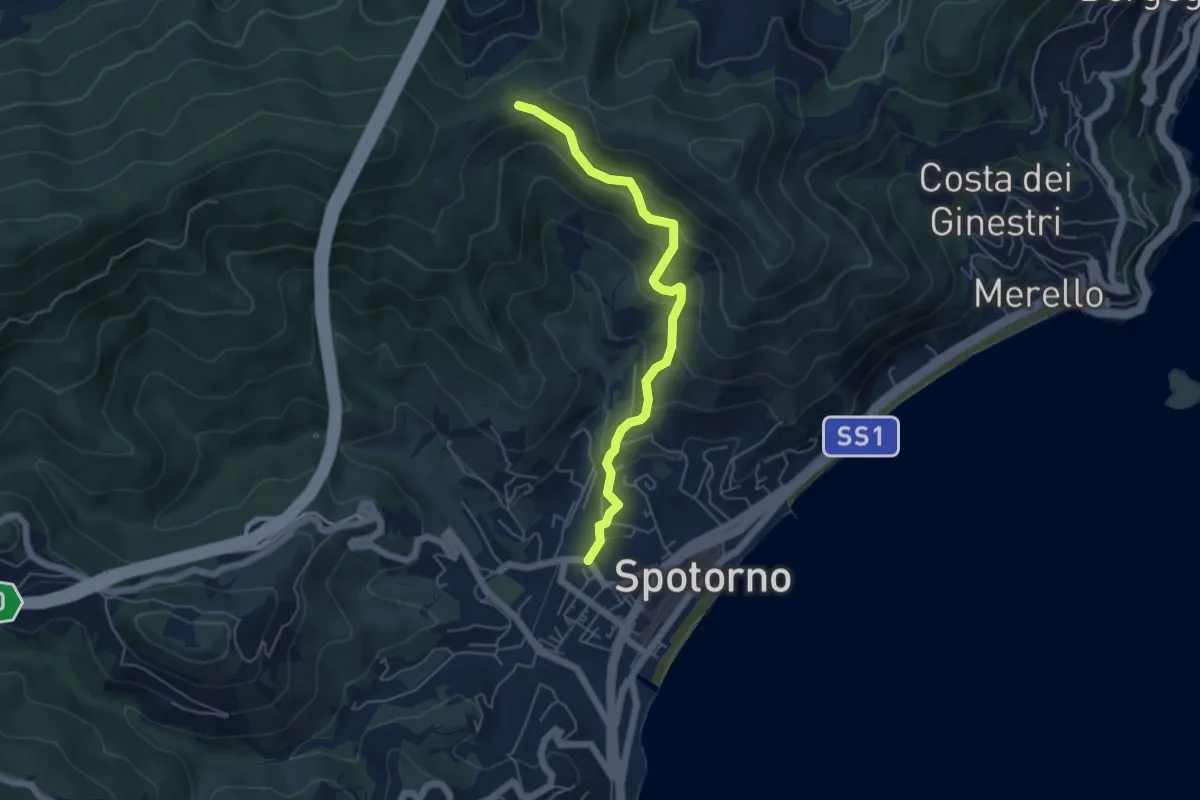
Medium · Trail
Spotorno - Passo Stretto
5.3 km · ↑ 351 m · 2 h 1 min · 13 km away
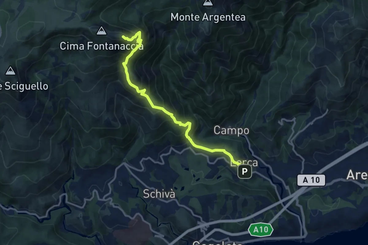
Demanding · Summit
Lerca – Monte Rama
10.8 km · ↑ 1094 m · 4 h 55 min · 13 km away
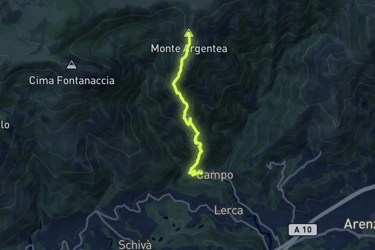
Demanding · Summit
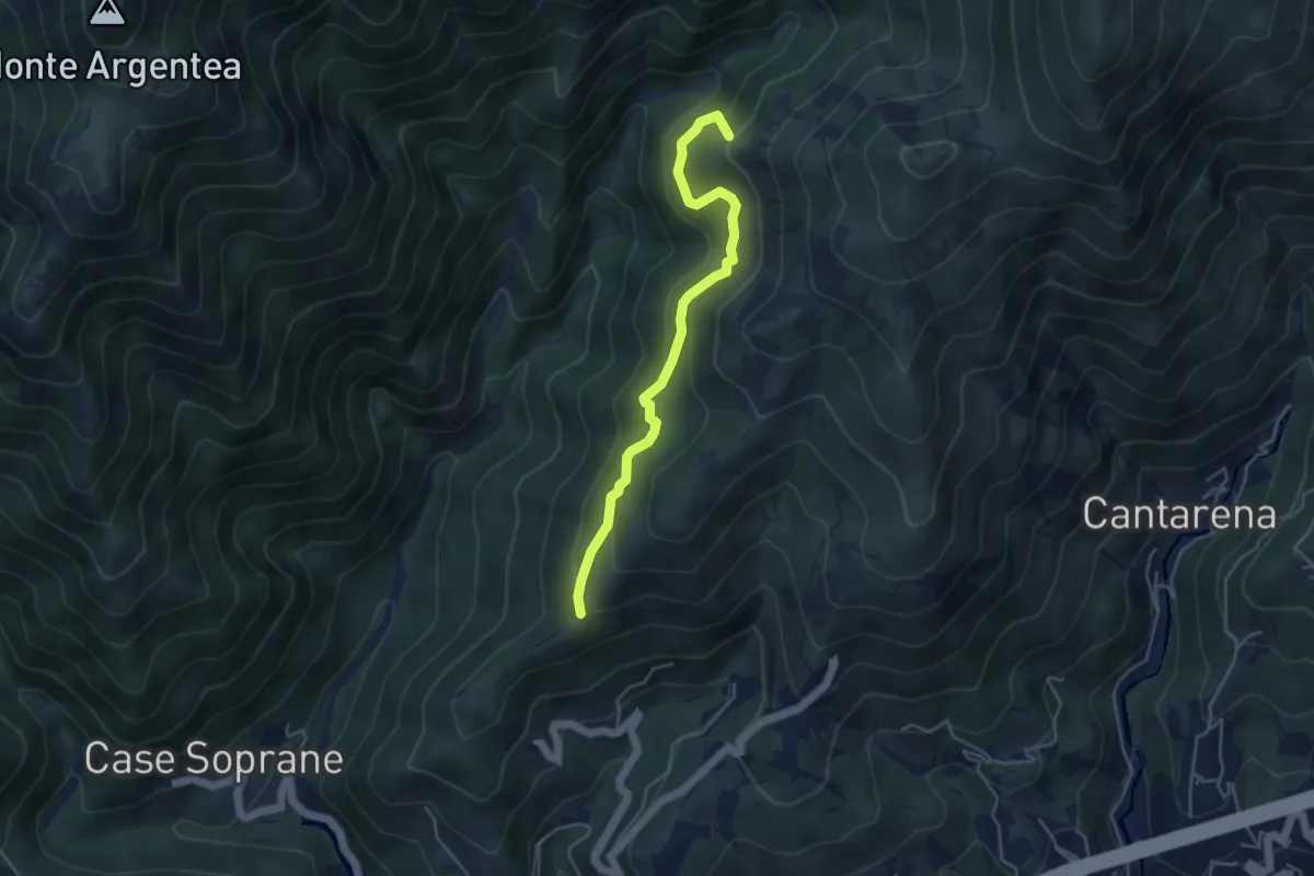
Sentiero Stella Bianca (Case Soprane - Monte Argentea)
7.8 km · ↑ 965 m · 3 h 55 min · 13 km away
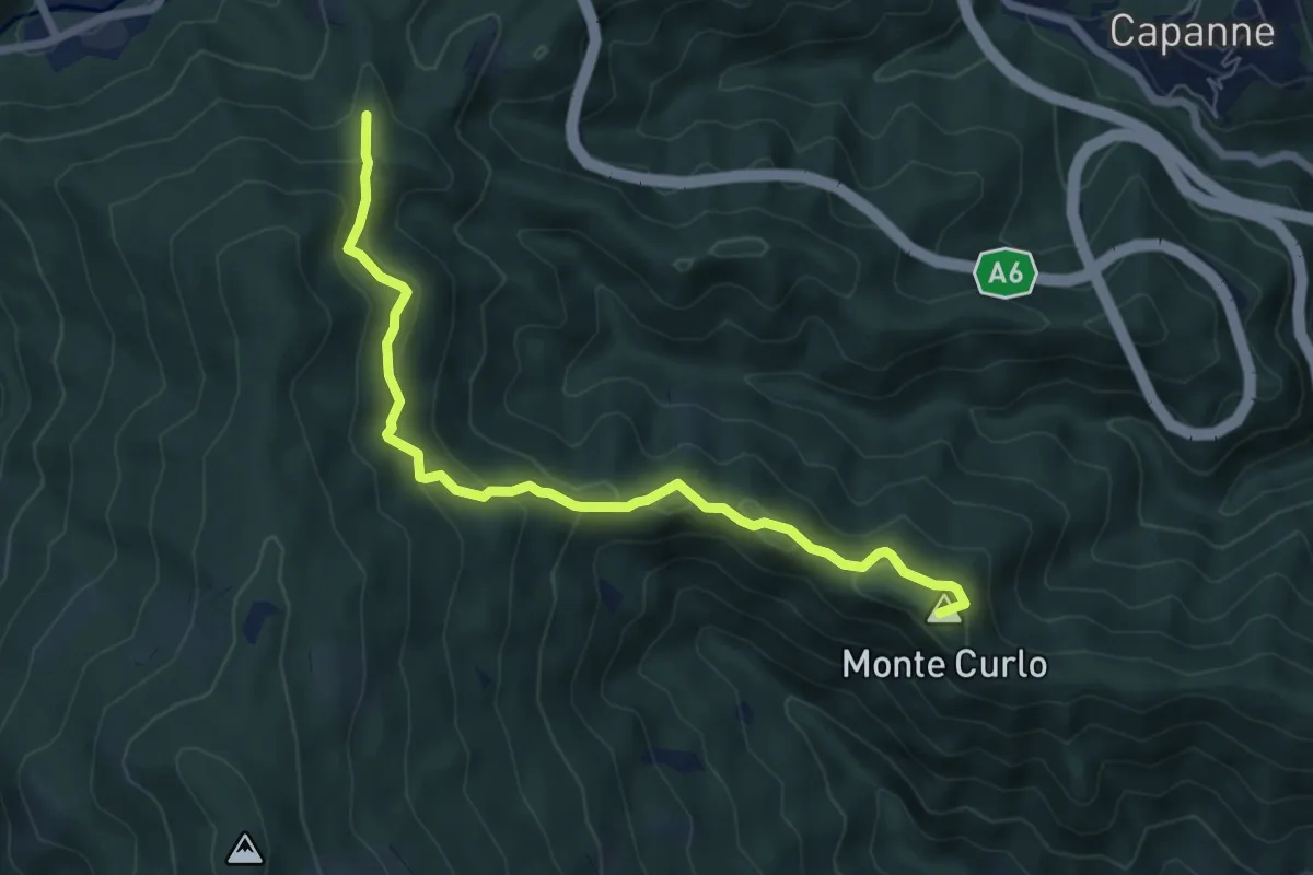
Medium · Summit
Quiliano – AV
7.0 km · ↑ 335 m · 2 h 23 min · 13 km away
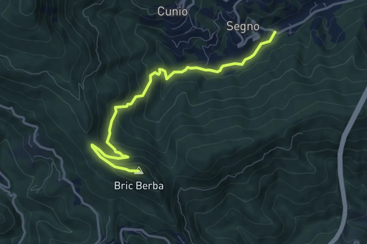
Medium · Summit
Ponte Isola - Bric Berba
8.9 km · ↑ 462 m · 3 h 5 min · 14 km away
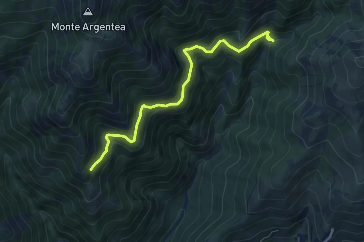
Demanding · Trail
Gua dall'Omu – Passo do Figu
6.4 km · ↑ 531 m · 2 h 40 min · 14 km away
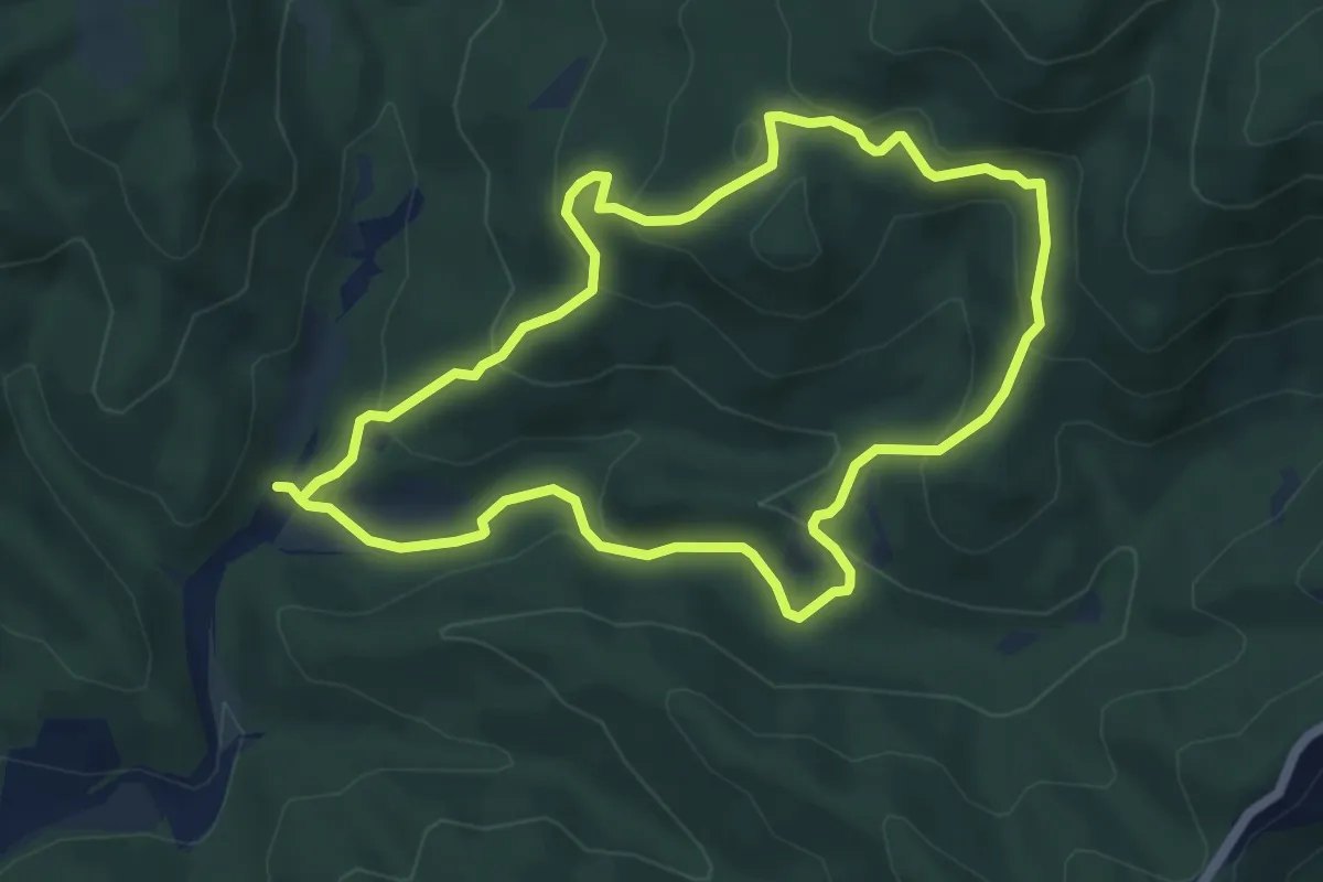
Easy · Summit
Adelasia - Sentiero 2
5.4 km · ↑ 251 m · 1 h 53 min · 14 km away
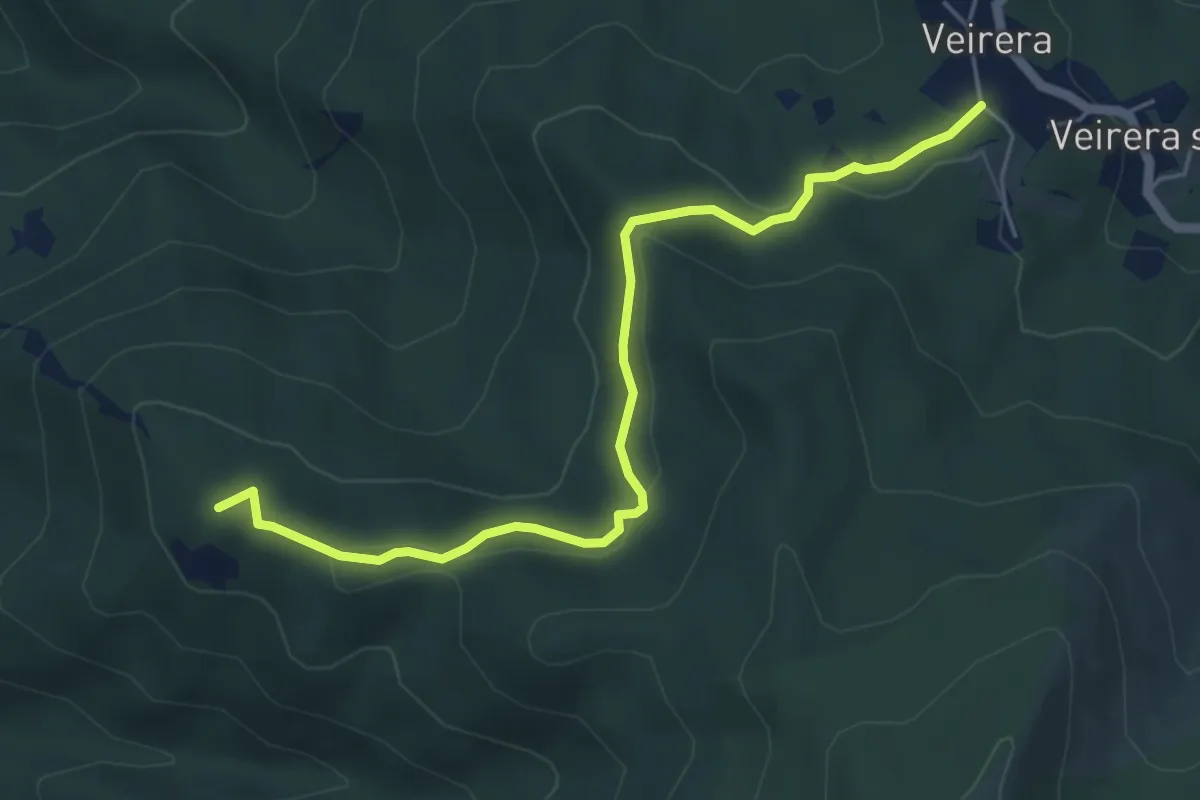
Easy · Summit
Veirera - Monte Avze'
5.7 km · ↑ 194 m · 1 h 47 min · 14 km away
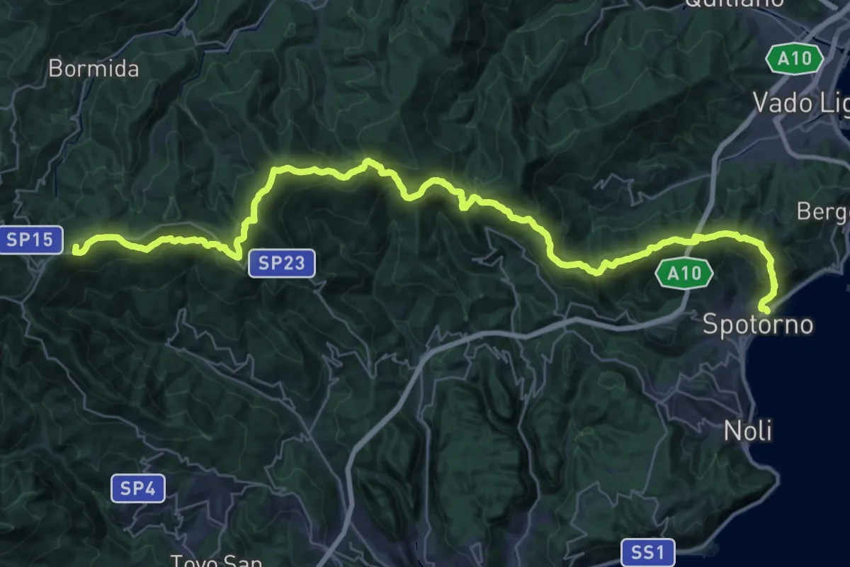
Demanding · Summit
Terre Alte
44.8 km · ↑ 2136 m · 15 h 12 min · 14 km away
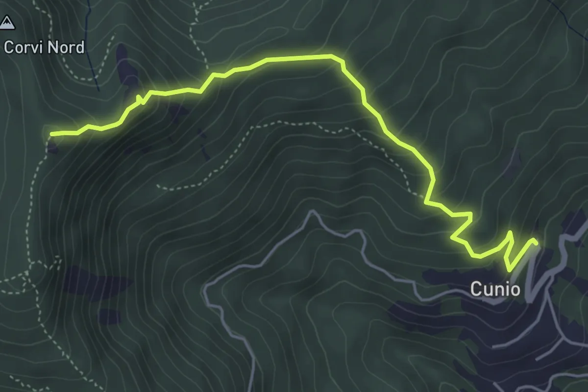
Demanding · Summit
Cunio - Rocca dei Corvi
5.4 km · ↑ 458 m · 2 h 16 min · 14 km away
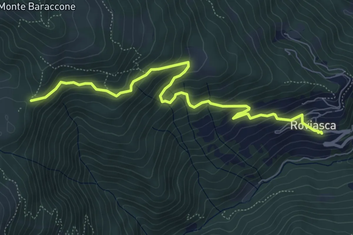
Medium · Trail
Roviasca – Colle del Baraccone
7.2 km · ↑ 459 m · 2 h 42 min · 15 km away
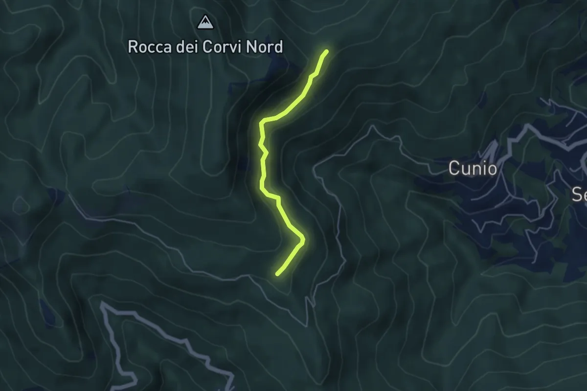
Easy · Trail
Collegamento est Rocca dei Corvi
3.8 km · ↑ 189 m · 1 h 18 min · 15 km away
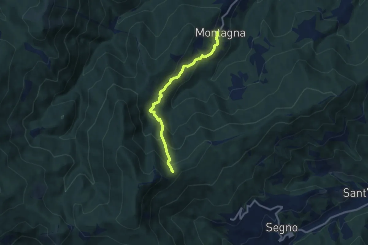
Medium · Trail
Montagna - Rocca dei Corvi
6.6 km · ↑ 498 m · 2 h 39 min · 15 km away
Medium · Summit
Passo Figu – Passo Gua
4.5 km · ↑ 308 m · 1 h 44 min · 15 km away
Medium · Summit
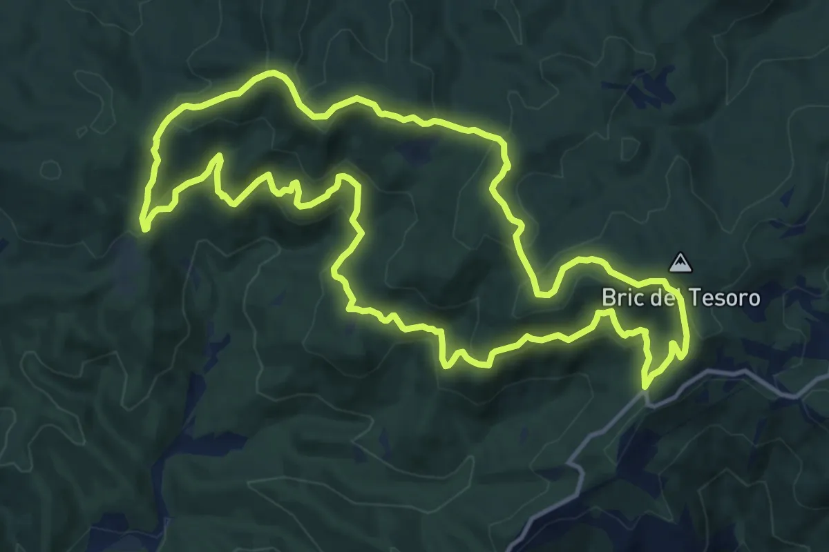
Adelasia - Sentiero 3
13.1 km · ↑ 614 m · 4 h 37 min · 15 km away
Medium · Summit
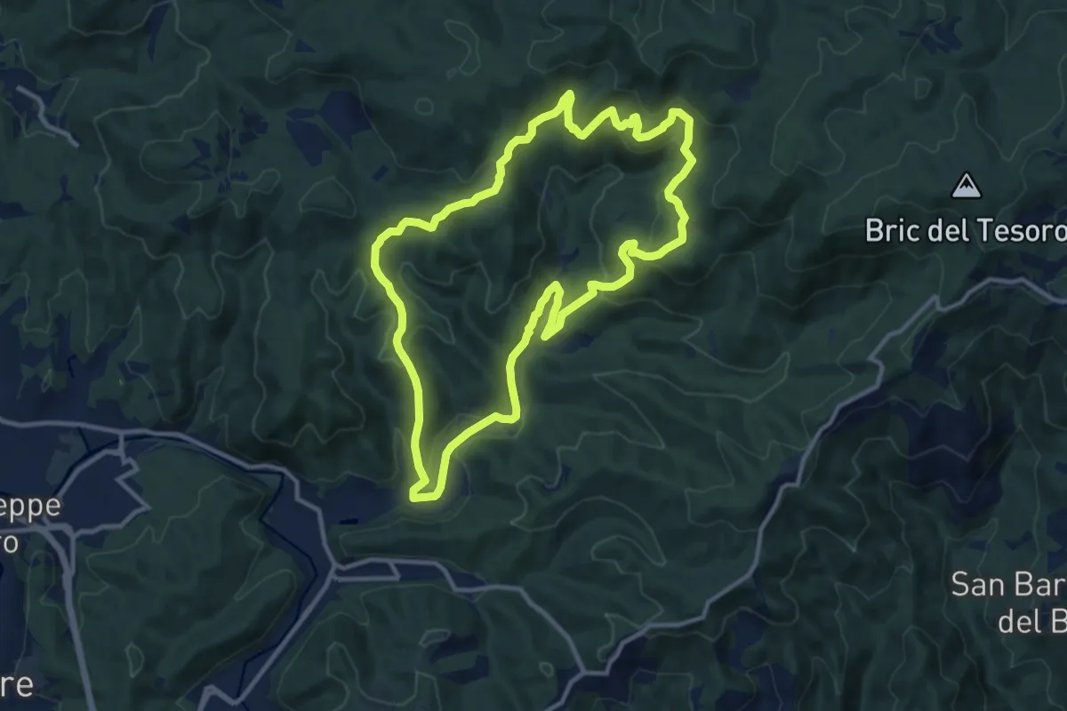
Adelasia Trail
11.6 km · ↑ 458 m · 3 h 53 min · 15 km away
Medium · Summit
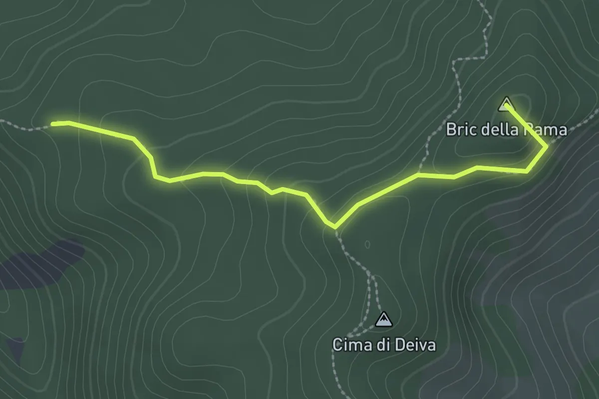
Allacc. Anello Deiva (Rocche Turchine) - Passo della Rama - Allacc. Anello Deiva (Sorite del Groppe)
2.7 km · ↑ 149 m · 57 min · 15 km away
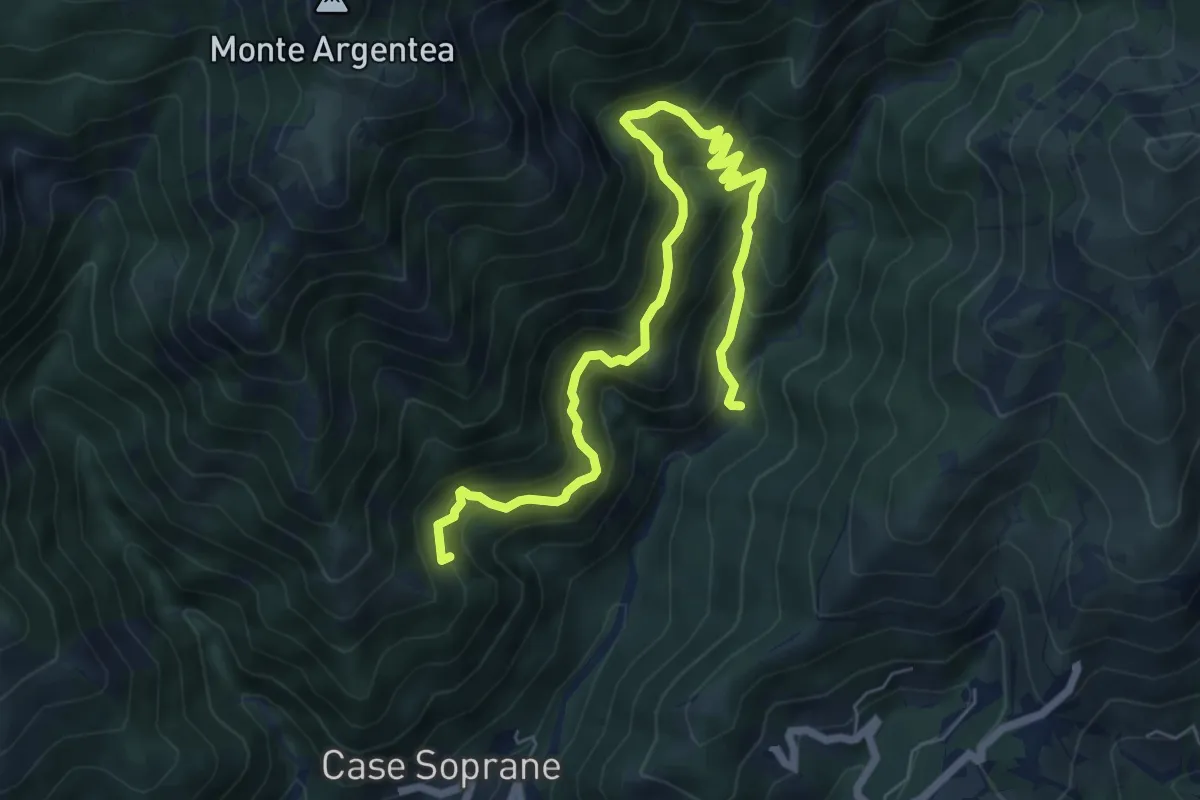
Demanding · Summit
Sentiero dell'Ingegnere
8.3 km · ↑ 881 m · 3 h 53 min · 15 km away
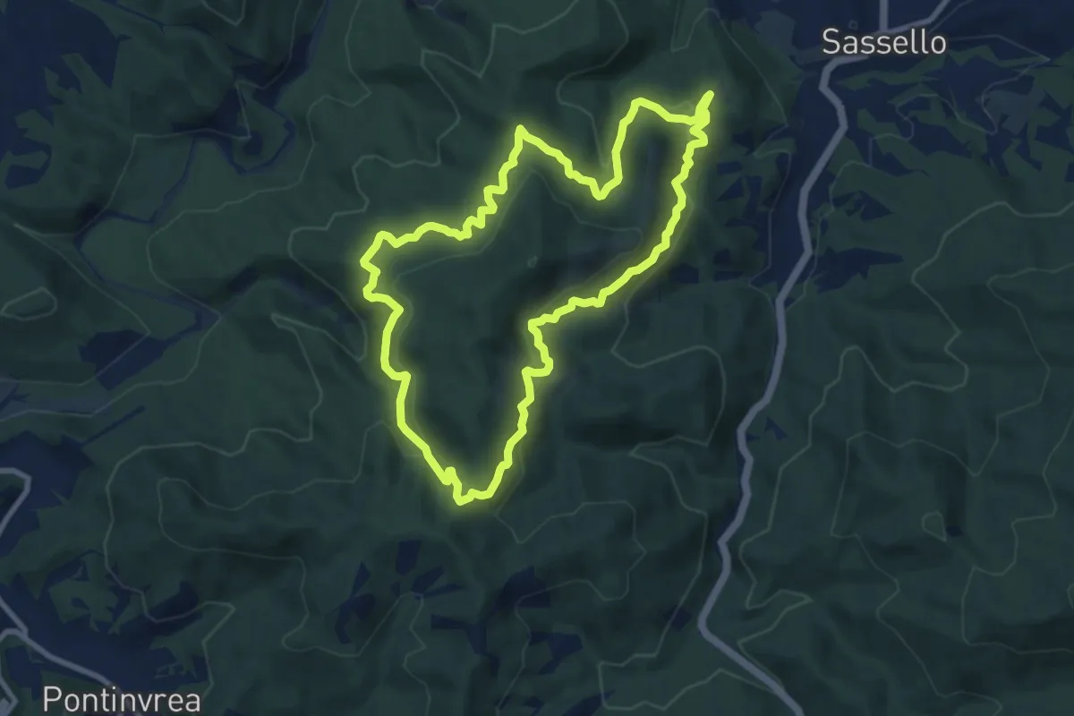
Medium · Summit
Anello Deiva
9.0 km · ↑ 445 m · 3 h 14 min · 15 km away