Trails near Altopascio
70 hikes starting within 15 km, nearest first.
Nearest first, page 2 of 2
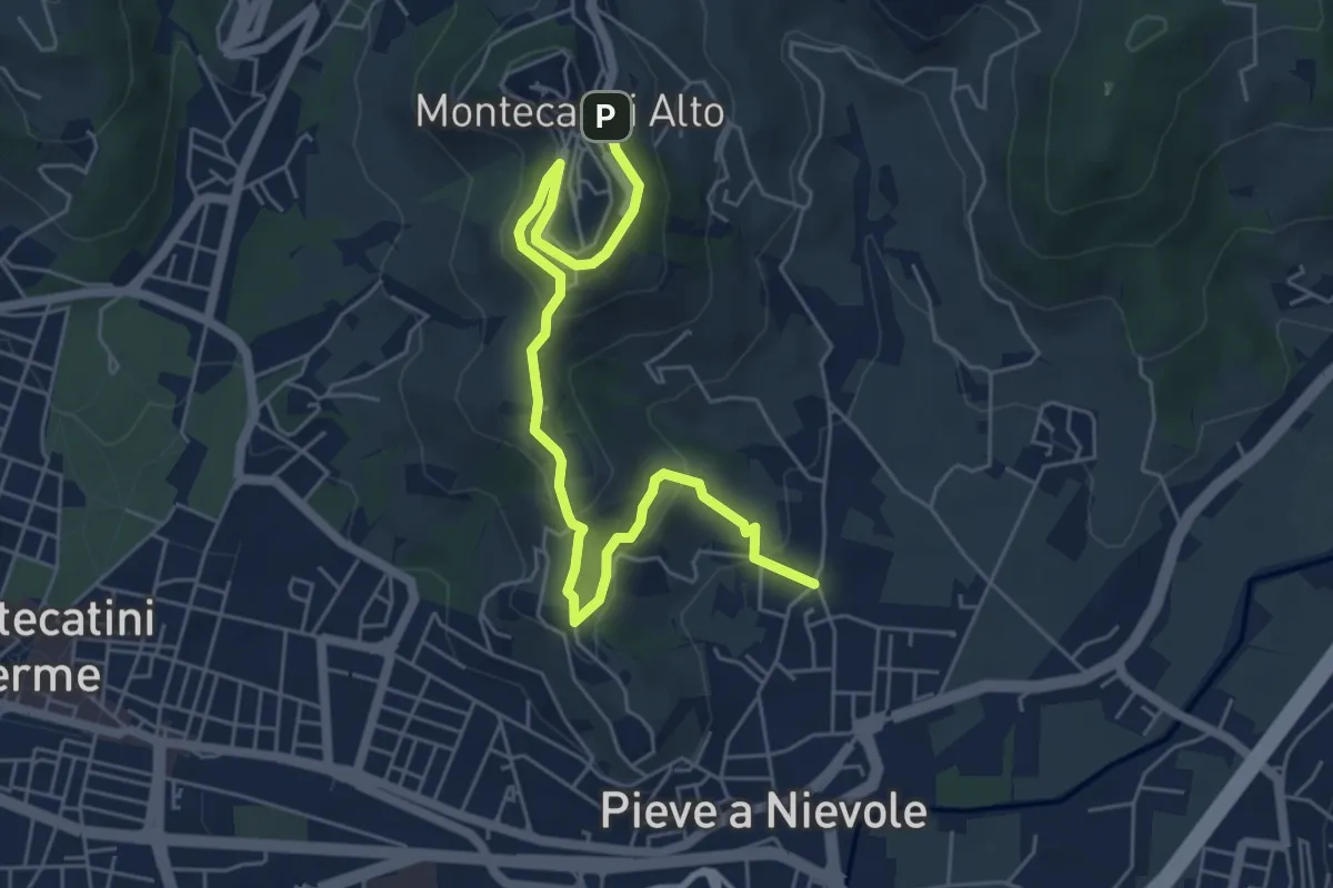
Medium · Trail
Via Fra Carlo (Pieve a NIevole) – Montecatini Alto (Ospizio San Francesco)
6.8 km · ↑ 328 m · 2 h 19 min · 13 km away
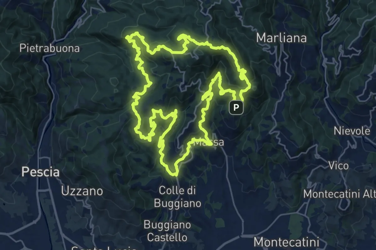
Demanding · Summit
Sentiero 9 "Colle e dintorni"
23.0 km · ↑ 1293 m · 8 h 33 min · 13 km away
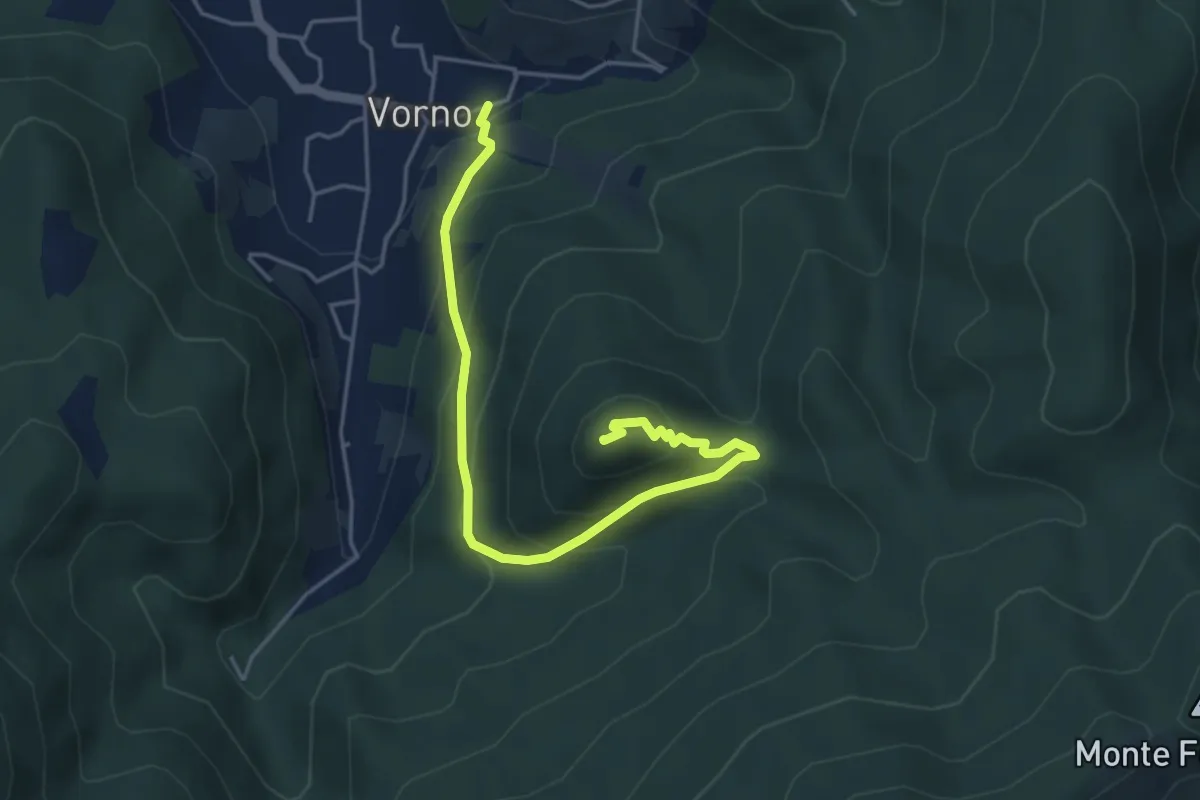
Medium · Summit
Vorno – Monte Zano
5.1 km · ↑ 361 m · 1 h 59 min · 13 km away
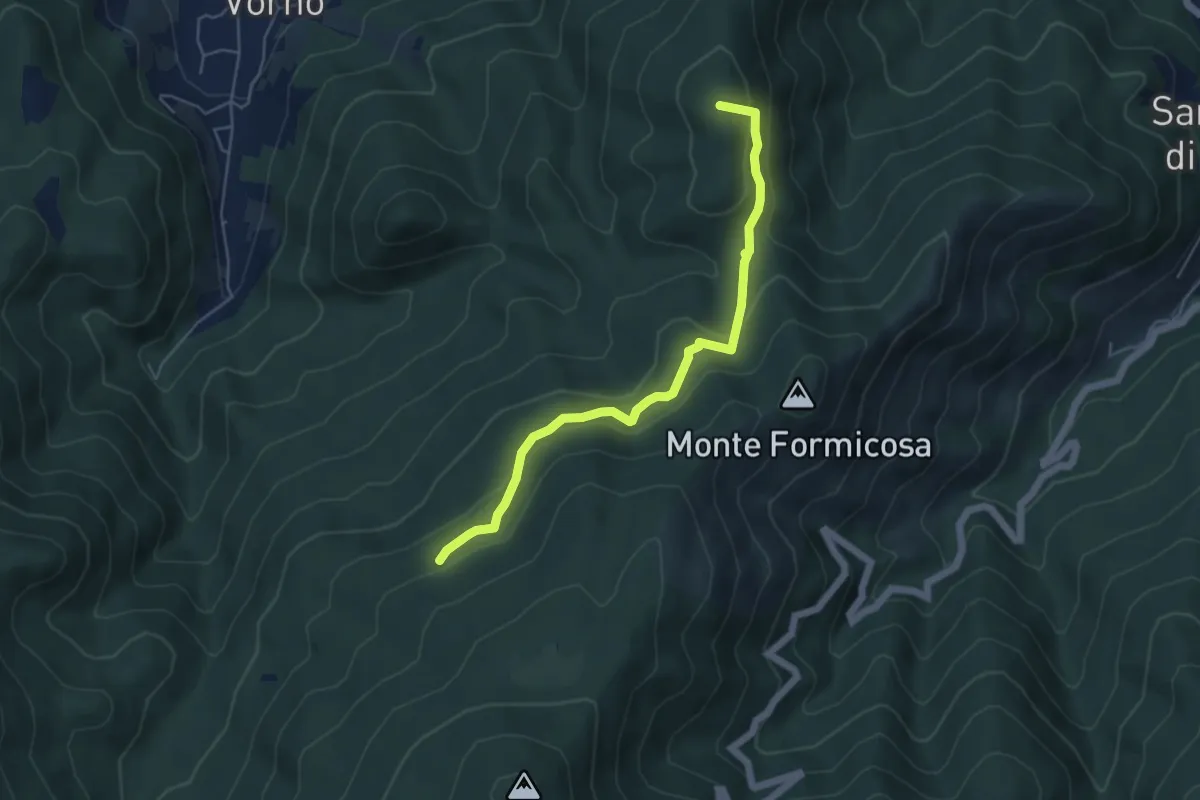
Easy · Summit
Le Parole d'Oro
5.4 km · ↑ 231 m · 1 h 46 min · 13 km away
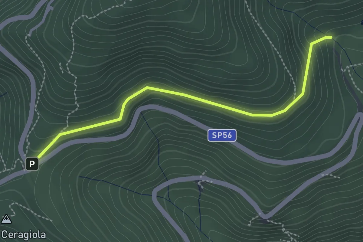
Easy · Trail
Serra di Sotto – Prato a Ceragiola
2.9 km · ↑ 114 m · 56 min · 13 km away
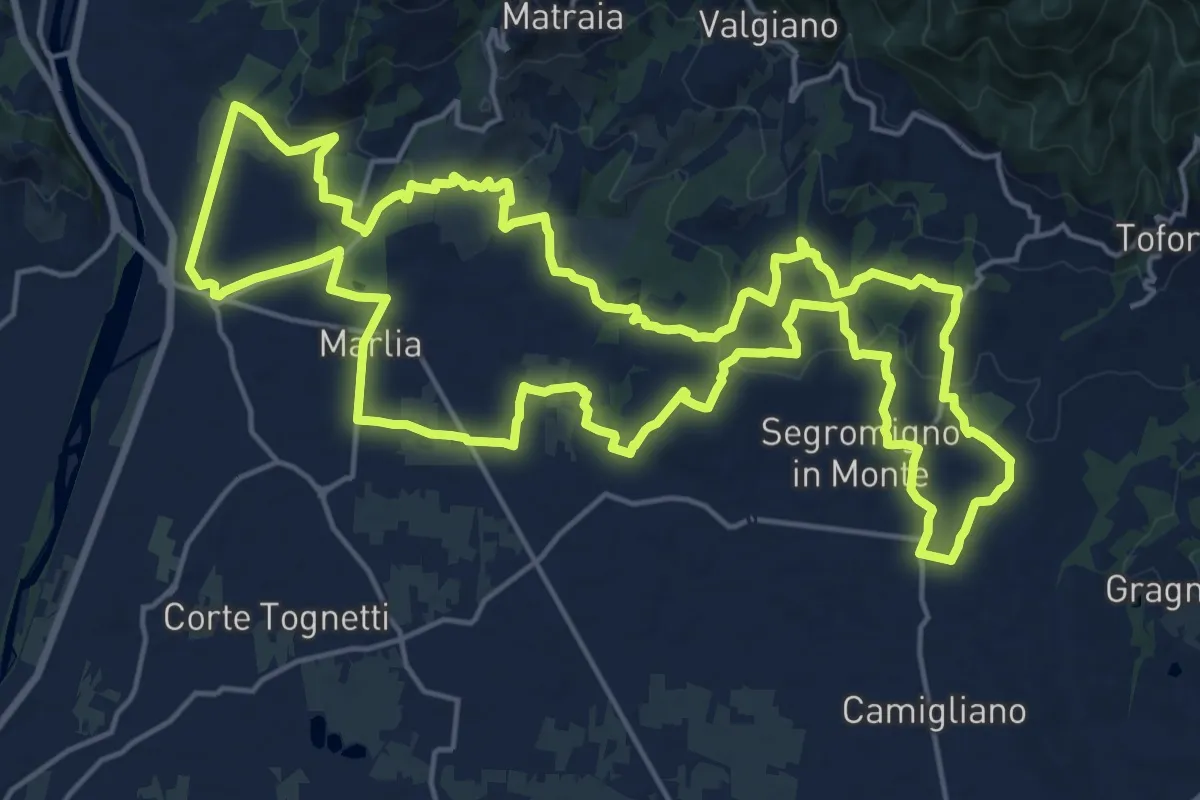
Demanding · Trail
Tour delle Ville
22.5 km · ↑ 357 m · 6 h 25 min · 13 km away
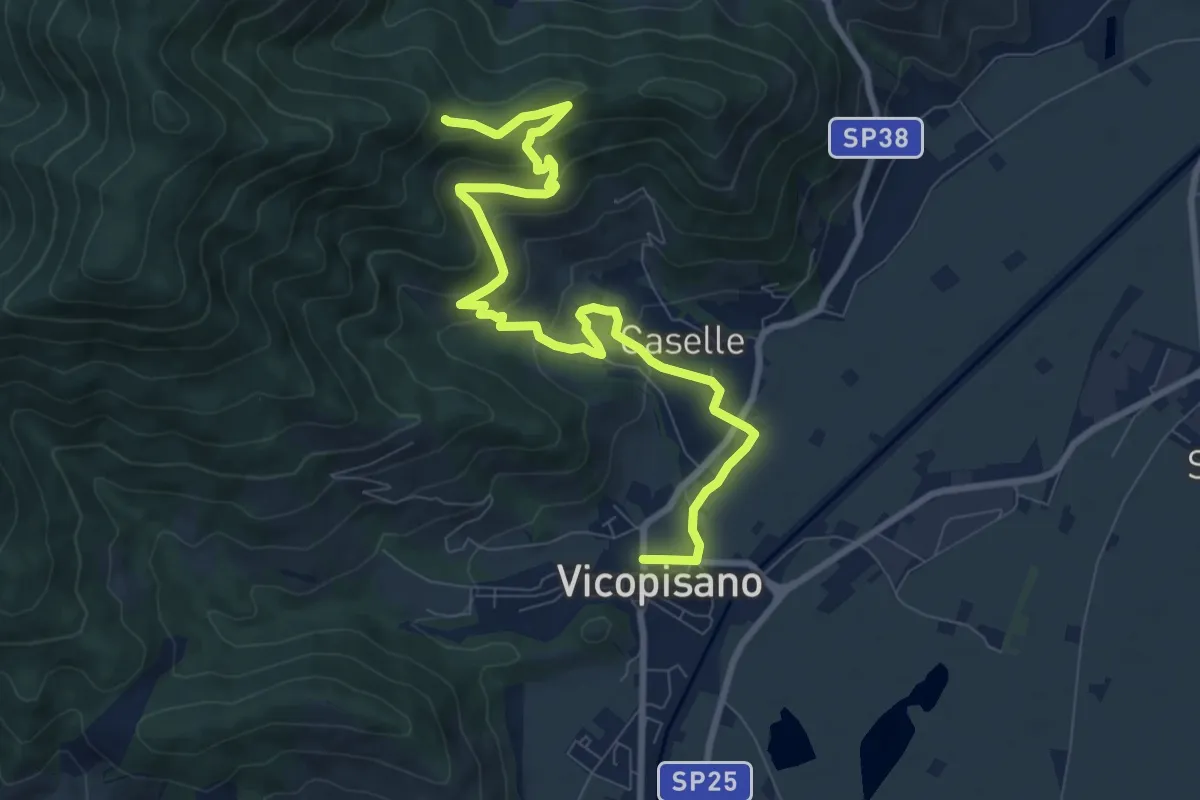
Medium · Trail
Vicopisano – Col di Cincia
10.8 km · ↑ 442 m · 3 h 31 min · 13 km away
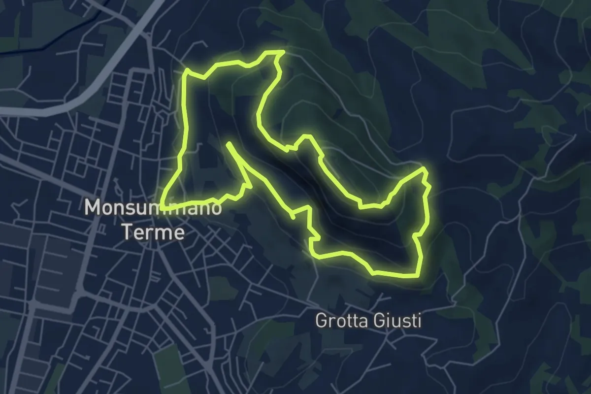
Medium · Summit
Monsummano Terme – Monsummano Terme
6.4 km · ↑ 359 m · 2 h 23 min · 14 km away
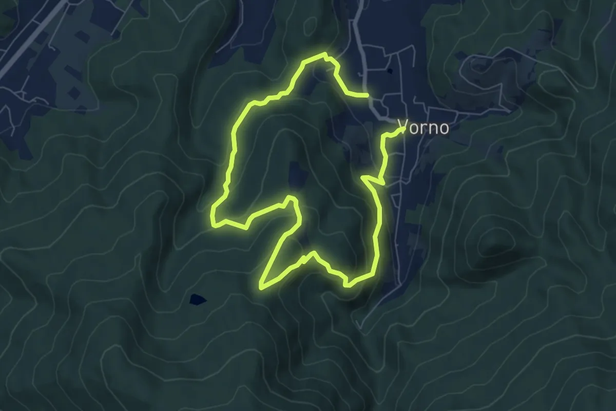
Expert · Summit
Anello di Vorno e Coselli
6.0 km · ↑ 313 m · 2 h 11 min · 14 km away
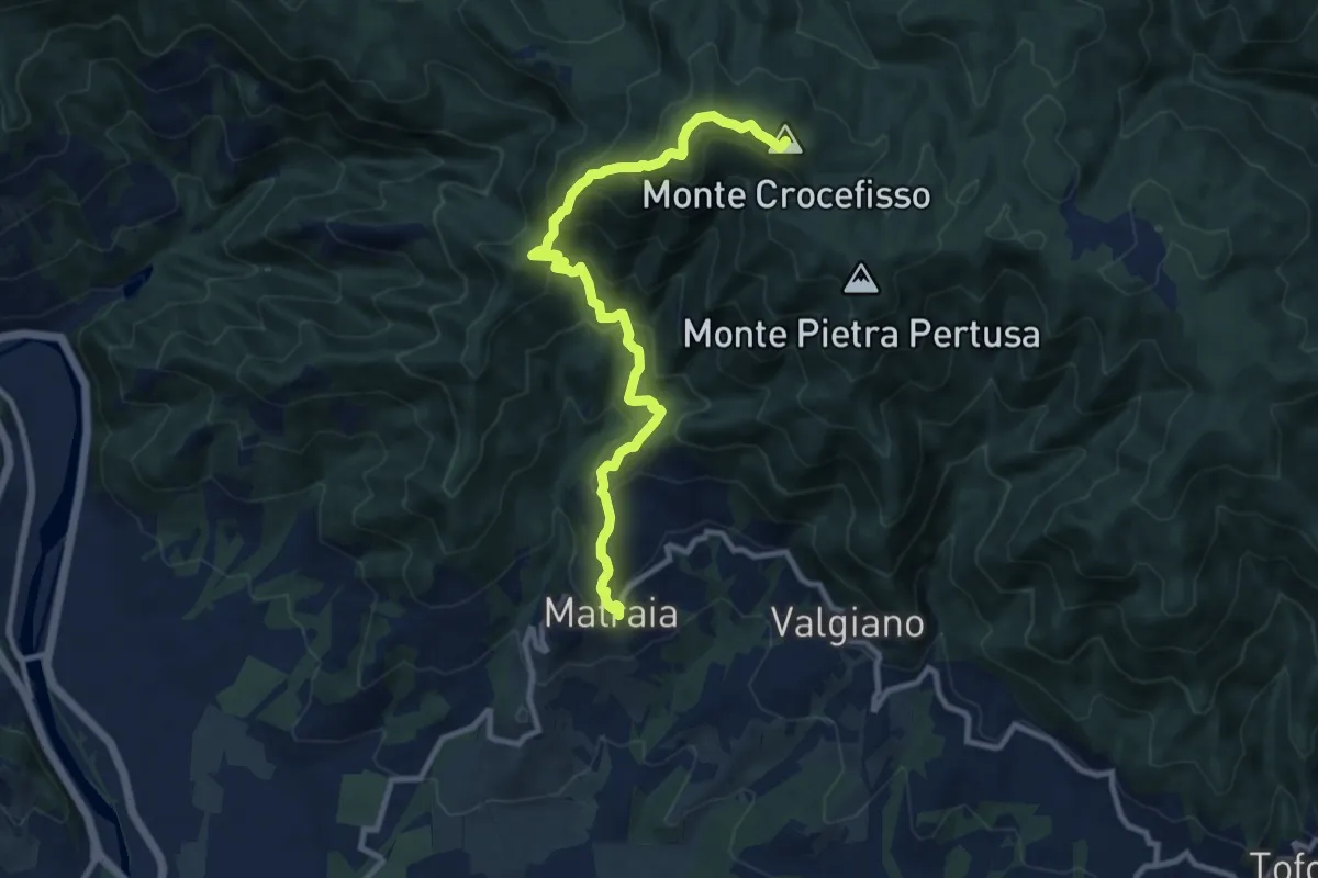
Medium · Summit
Sentiero n.1 "Monte Gromigno"
11.1 km · ↑ 779 m · 4 h 18 min · 14 km away
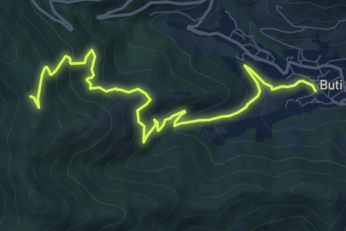
Medium · Trail
Buti – Prato a Giovo
9.9 km · ↑ 619 m · 3 h 41 min · 14 km away
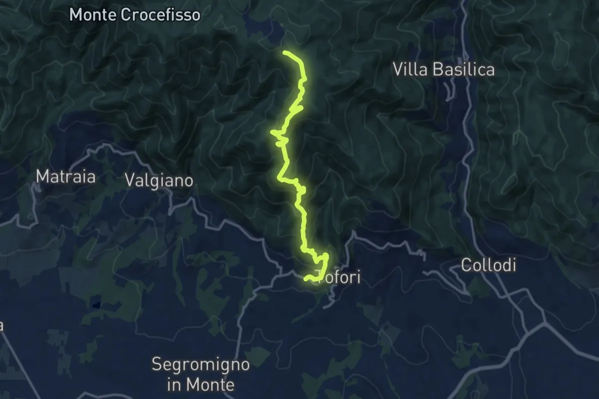
Medium · Trail
Sentiero n.5 "Prato di Rimogno"
11.8 km · ↑ 756 m · 4 h 25 min · 14 km away
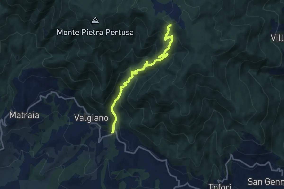
Medium · Trail
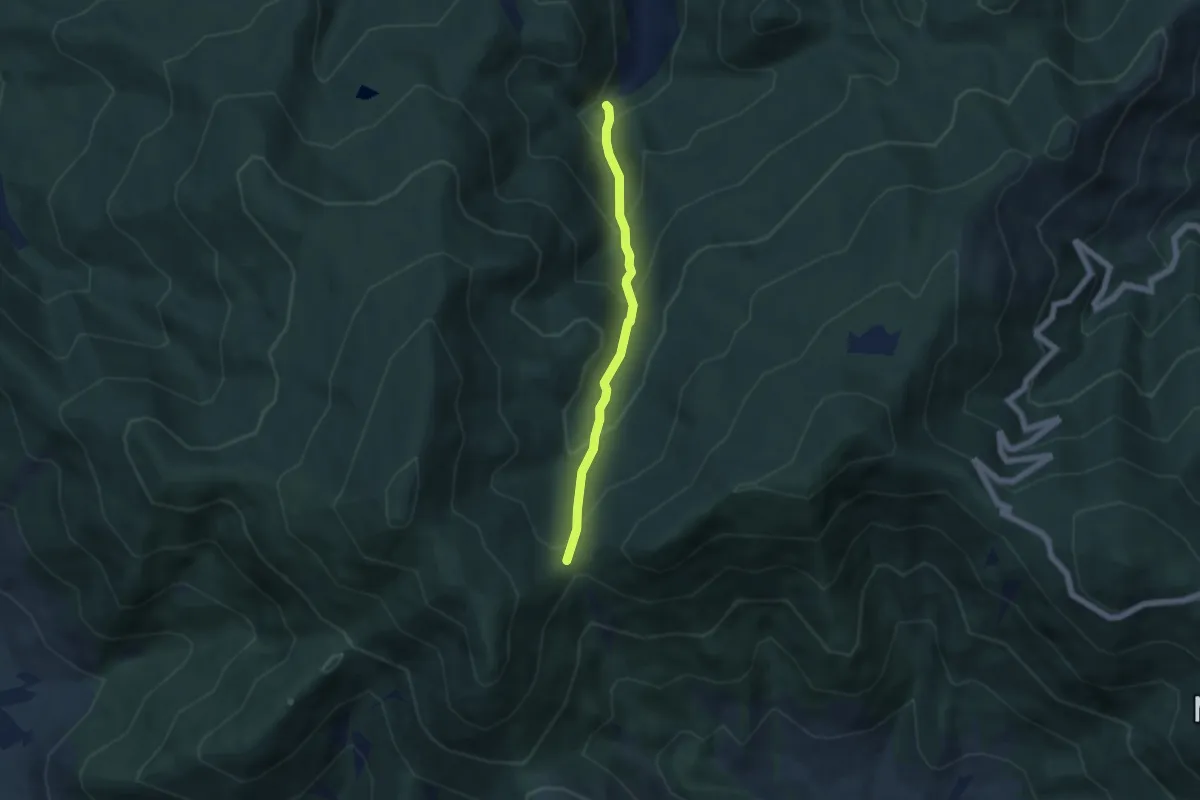
Sentiero n.3 "La Cartiera"
8.5 km · ↑ 647 m · 3 h 25 min · 14 km away
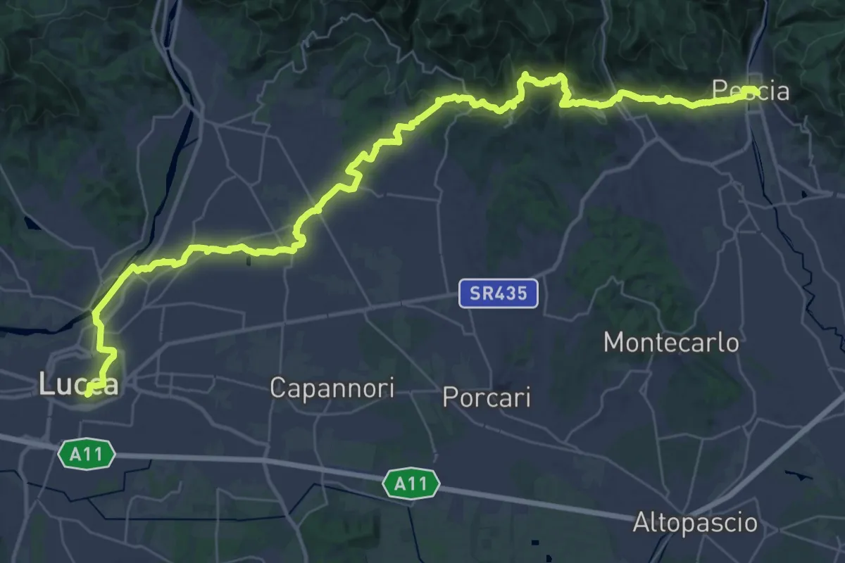
Demanding · Trail
Il Cammino di San Jacopo - Tappa 4
24.4 km · ↑ 550 m · 7 h 16 min · 14 km away
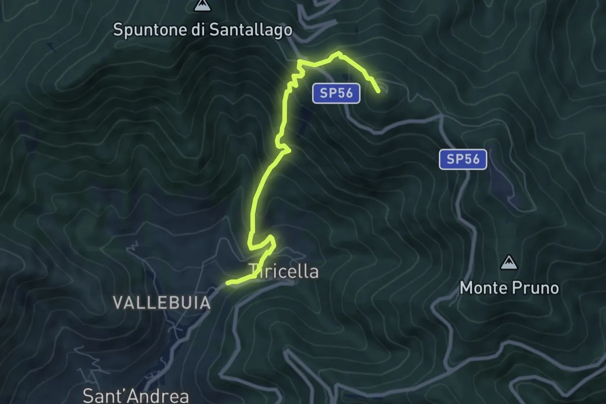
Medium · Trail
Via Calcesana: da Vorno a Campo di Croce
5.0 km · ↑ 425 m · 2 h 6 min · 14 km away
Medium · Summit
Castelmaggiore – Monte Cascetto
6.7 km · ↑ 740 m · 3 h 11 min · 14 km away
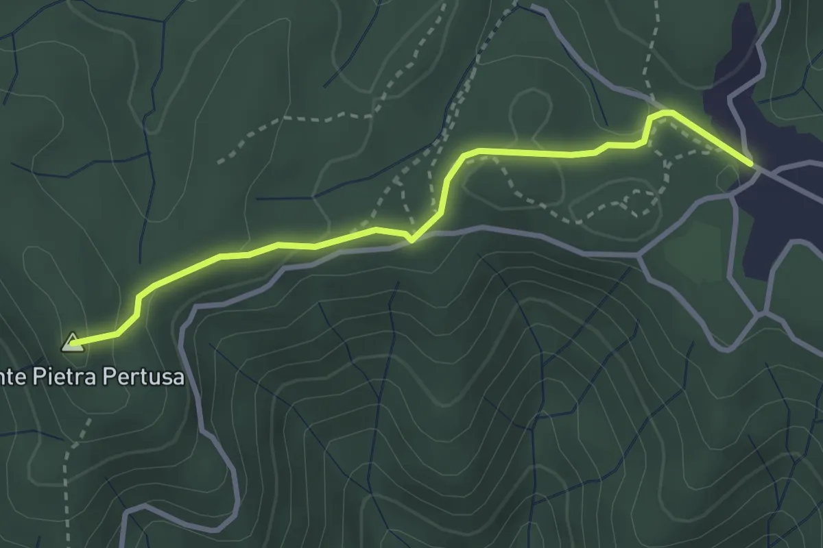
Easy · Summit
Sentiero n.2 "Pietra Pertusa"
3.1 km · ↑ 89 m · 55 min · 14 km away
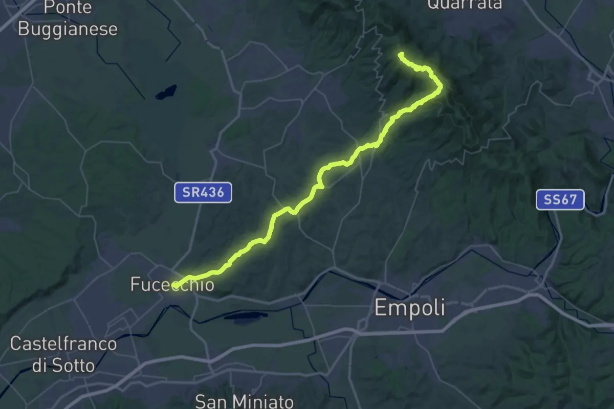
Demanding · Summit
Via Romea Nonantolana e Via della Sambuca: Tappa 8
42.6 km · ↑ 932 m · 12 h 4 min · 14 km away
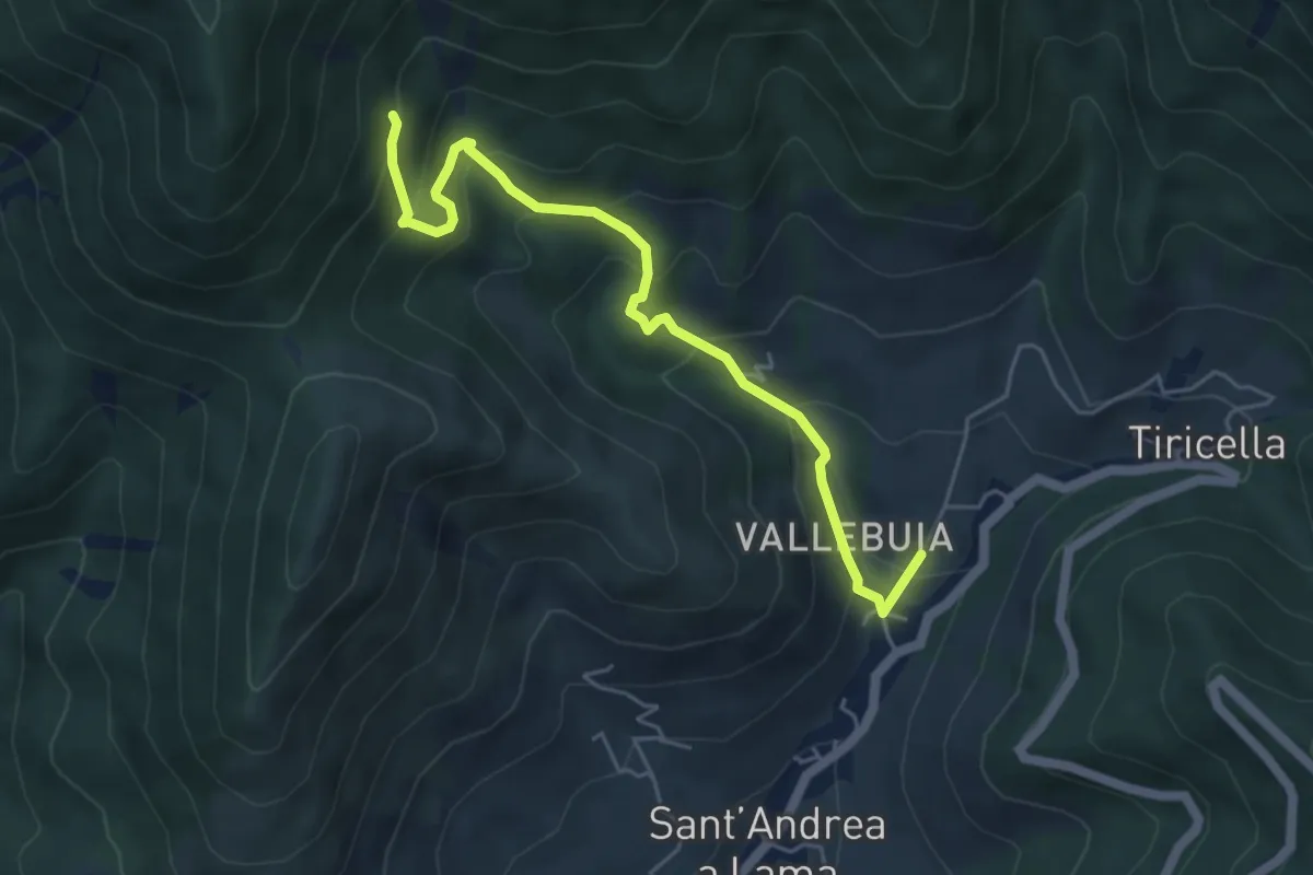
Medium · Trail
Castelmaggiore – Campo di Croce
5.6 km · ↑ 402 m · 2 h 11 min · 15 km away
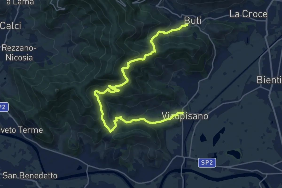
Demanding · Trail
Vicopisano – Buti
20.0 km · ↑ 978 m · 6 h 50 min · 15 km away
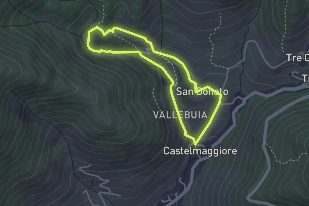
Easy · Trail
Percorso delle Acque
2.8 km · ↑ 146 m · 1 h 1 min · 15 km away
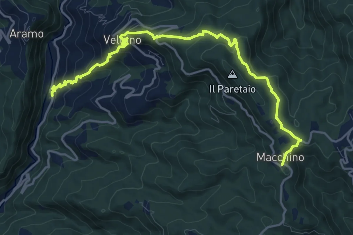
Medium · Summit
Calamari – Macchino
6.1 km · ↑ 644 m · 2 h 38 min · 15 km away