Trails near Alzano Lombardo
198 hikes starting within 15 km, nearest first.
Nearest first, page 1 of 5
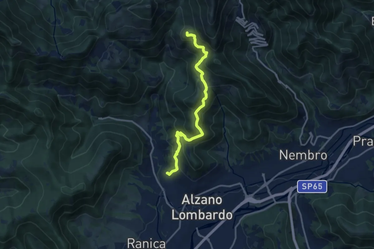
Medium · Summit
Nese (Alzano Lombardo) – Salmezza (Selvino)
9.9 km · ↑ 707 m · 3 h 52 min · 1 km away
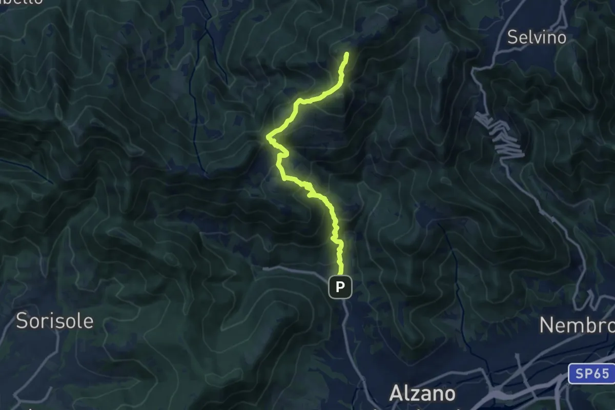
Demanding · Summit
Nese (Alzano Lombardo) – Salmezza (Selvino)
10.7 km · ↑ 906 m · 4 h 30 min · 2 km away
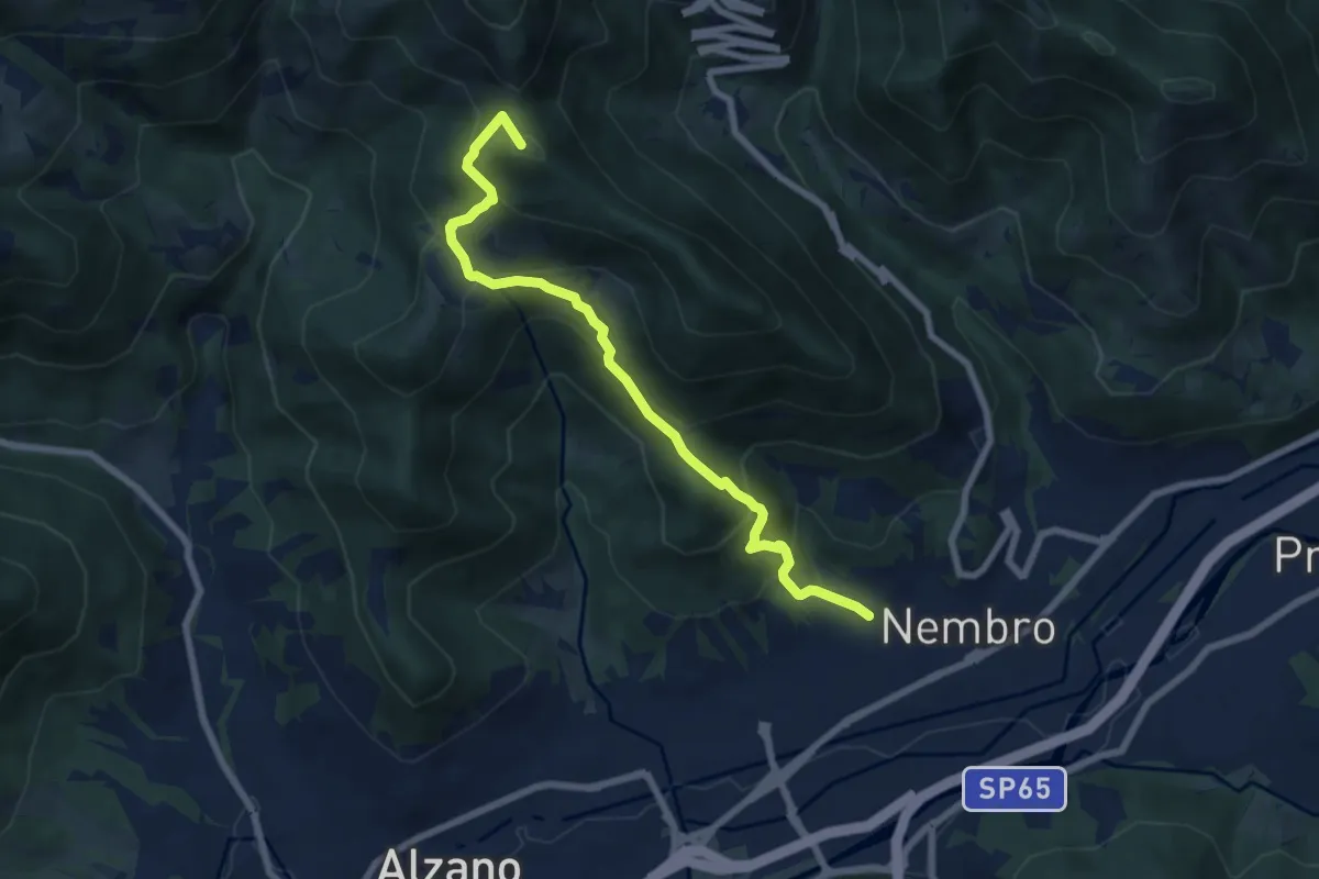
Medium · Summit
Madonna dello Zuccarello (Nembro) – Selvino
7.5 km · ↑ 583 m · 3 h 3 min · 2 km away
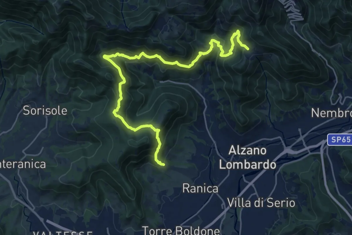
Demanding · Trail
San Rocco (Ranica) – Lonno (Nembro)
20.9 km · ↑ 1269 m · 7 h 41 min · 2 km away
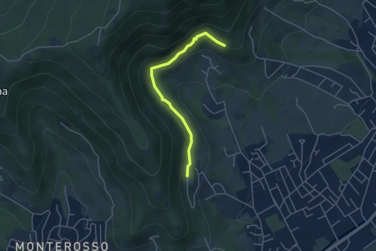
Easy · Trail
Gaito (Torre Boldone) – San Rocco (Ponteranica)
3.3 km · ↑ 127 m · 1 h 4 min · 2 km away
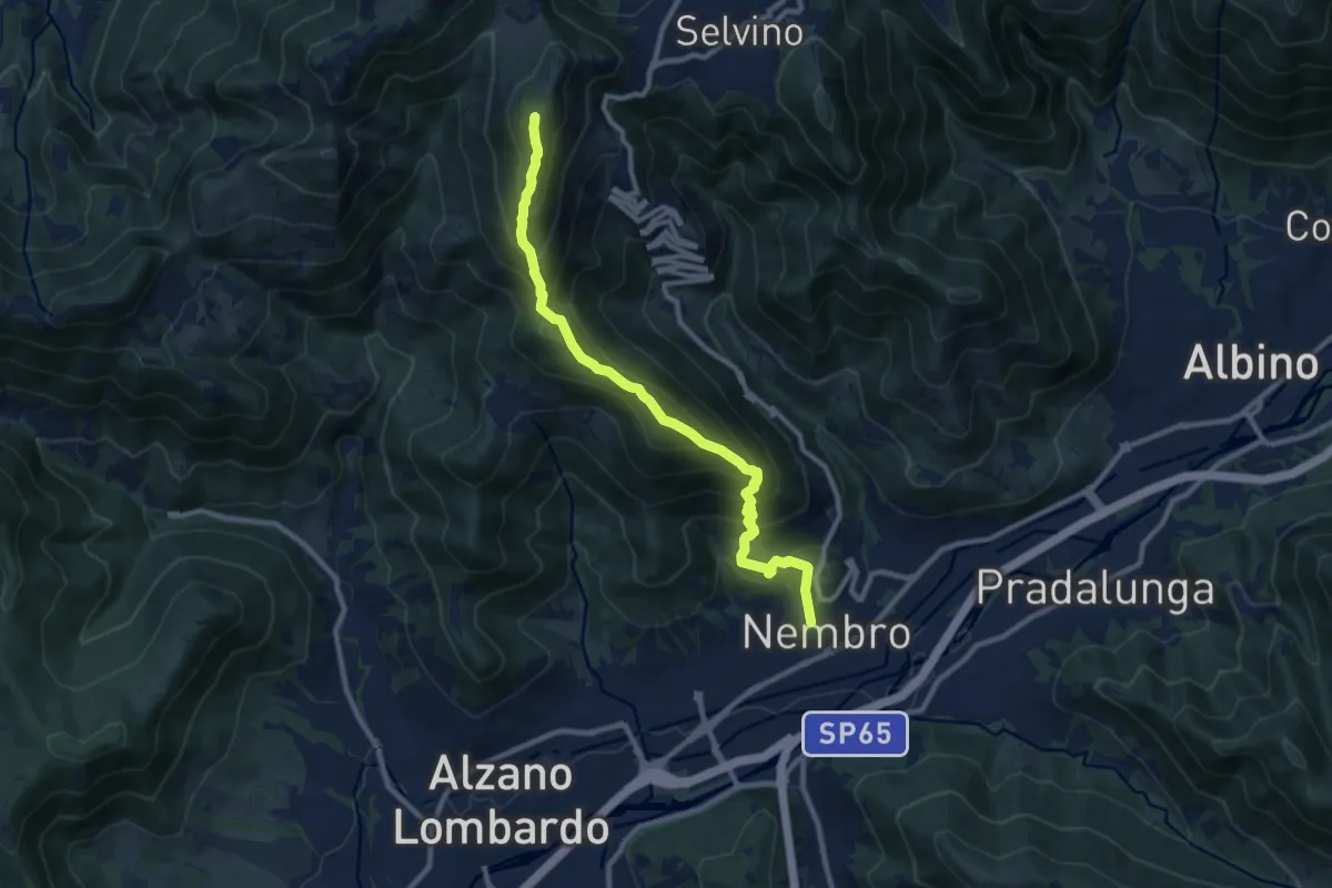
Demanding · Summit
Nembro – Salmezza
10.3 km · ↑ 993 m · 4 h 34 min · 2 km away
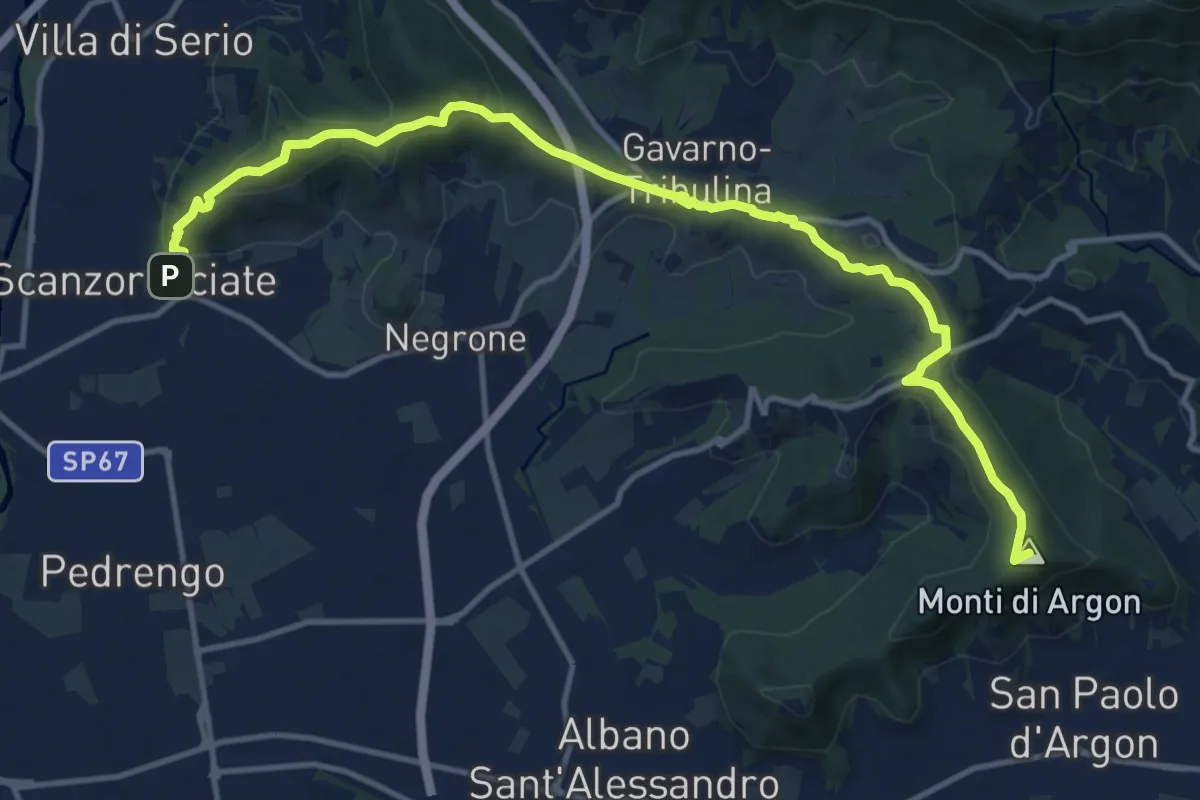
Medium · Summit
La Via delle Sorelle - Tappa 5 Traversa
7.5 km · ↑ 337 m · 2 h 31 min · 3 km away
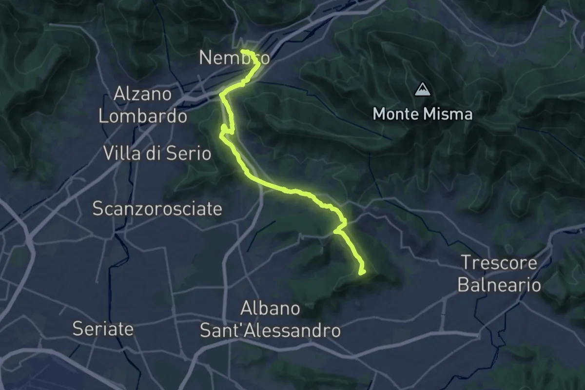
Medium · Summit
La Via delle Sorelle - Tappa 5
9.4 km · ↑ 284 m · 2 h 54 min · 3 km away
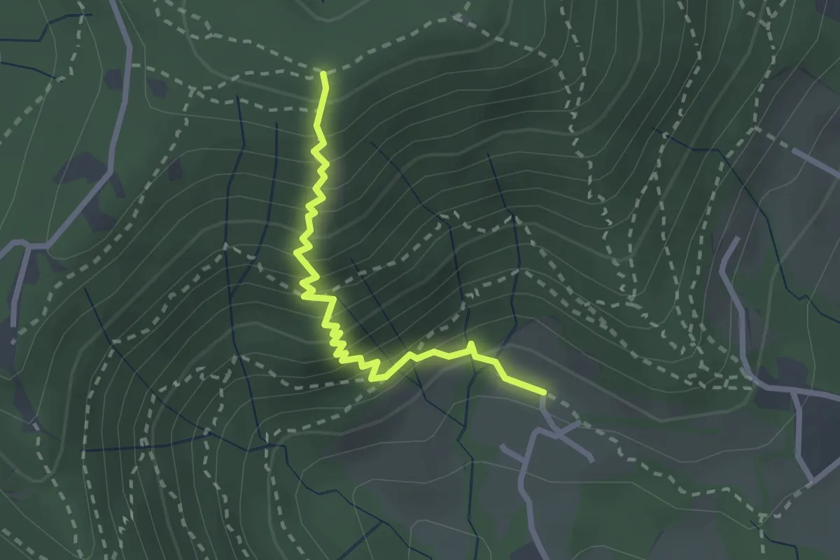
Medium · Trail
Fenile (Torre Boldone) – Croce del Boscone (Torre Boldone)
2.4 km · ↑ 321 m · 1 h 15 min · 3 km away
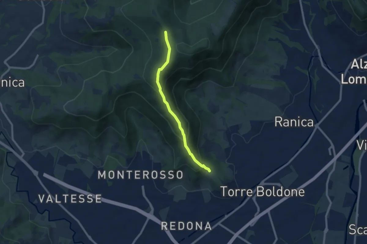
Medium · Trail
Calvarola (Bergamo) – Croce dei Morti (Ponteranica)
5.2 km · ↑ 329 m · 1 h 57 min · 3 km away
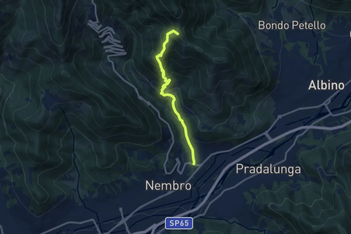
Medium · Summit
Trevasco (Nembro) – Selvino
6.8 km · ↑ 603 m · 2 h 55 min · 3 km away
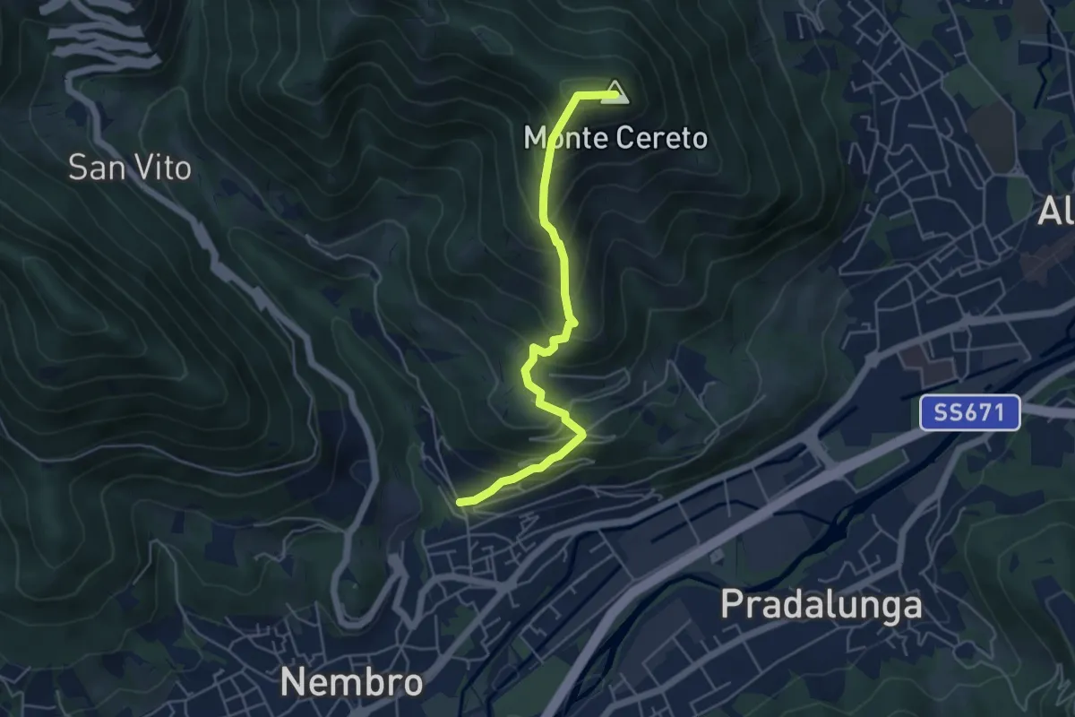
Medium · Summit
Trevasco (Nembro) – Monte Cereto
4.8 km · ↑ 563 m · 2 h 21 min · 3 km away
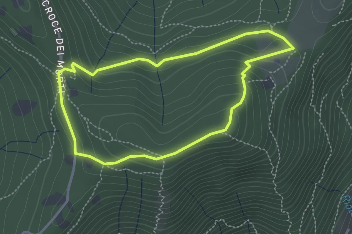
Medium · Summit
Giro del Colle di Ranica
2.4 km · ↑ 91 m · 47 min · 3 km away
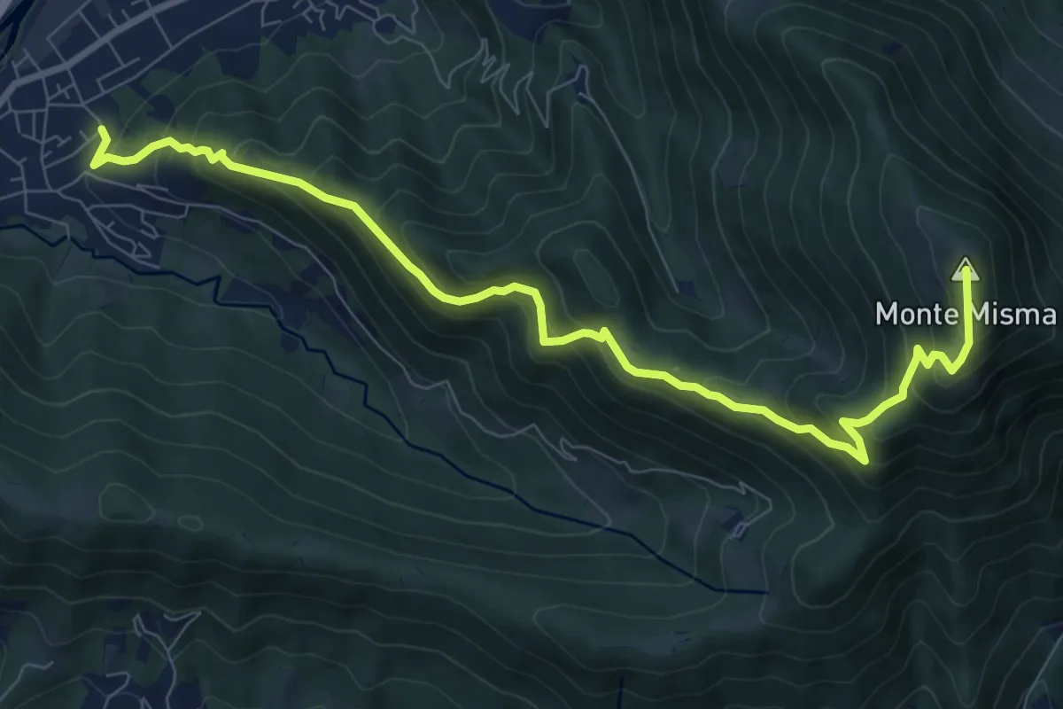
Demanding · Summit
Cornale – Monte Misma
9.9 km · ↑ 853 m · 4 h 11 min · 4 km away
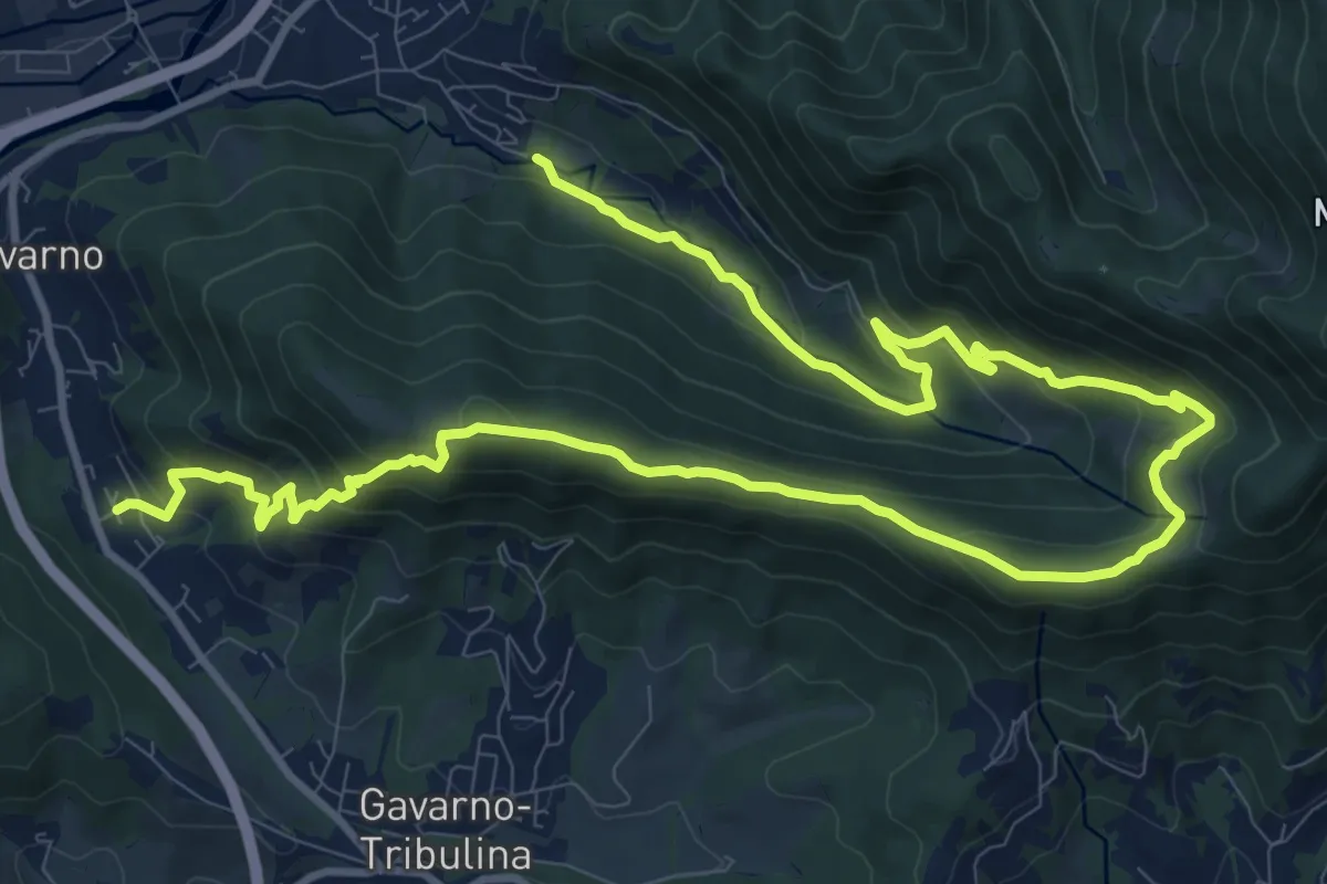
Demanding · Trail
Cornale (Pradalunga) – Gavarno
17.1 km · ↑ 933 m · 6 h 4 min · 4 km away
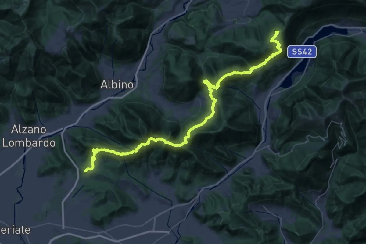
Demanding · Summit
Tribulina di Gavarno – Monticelli
43.4 km · ↑ 2445 m · 15 h 32 min · 4 km away
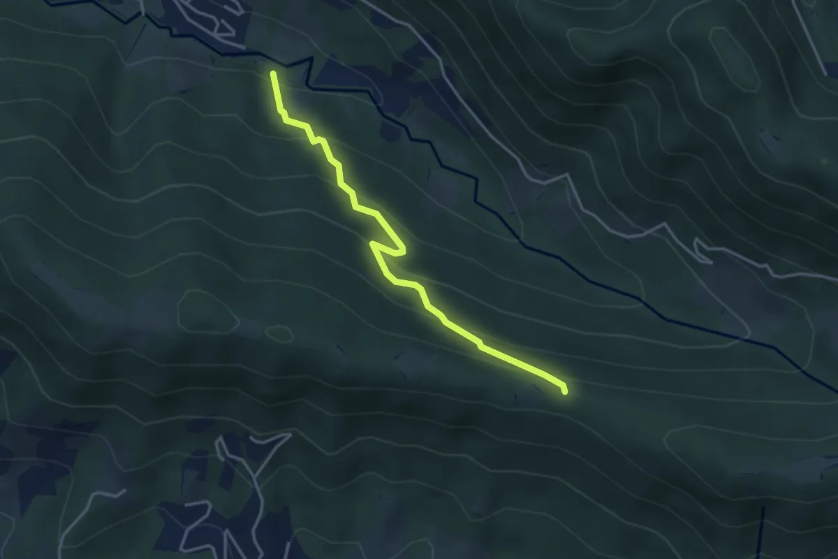
Easy · Trail
Cornale (Pradalunga) – Roccolo delle Pozzette (incrocio 539A)
3.6 km · ↑ 276 m · 1 h 26 min · 4 km away
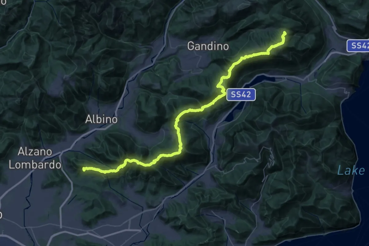
Demanding · Summit
Sentiero Andrea Caslini "Rocco"
53.0 km · ↑ 3005 m · 19 h 2 min · 4 km away
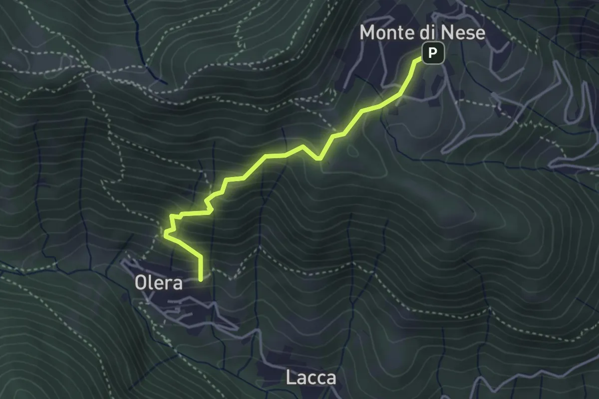
Medium · Trail
Olera (Alzano Lombardo) – Monte di Nese
3.4 km · ↑ 307 m · 1 h 29 min · 4 km away
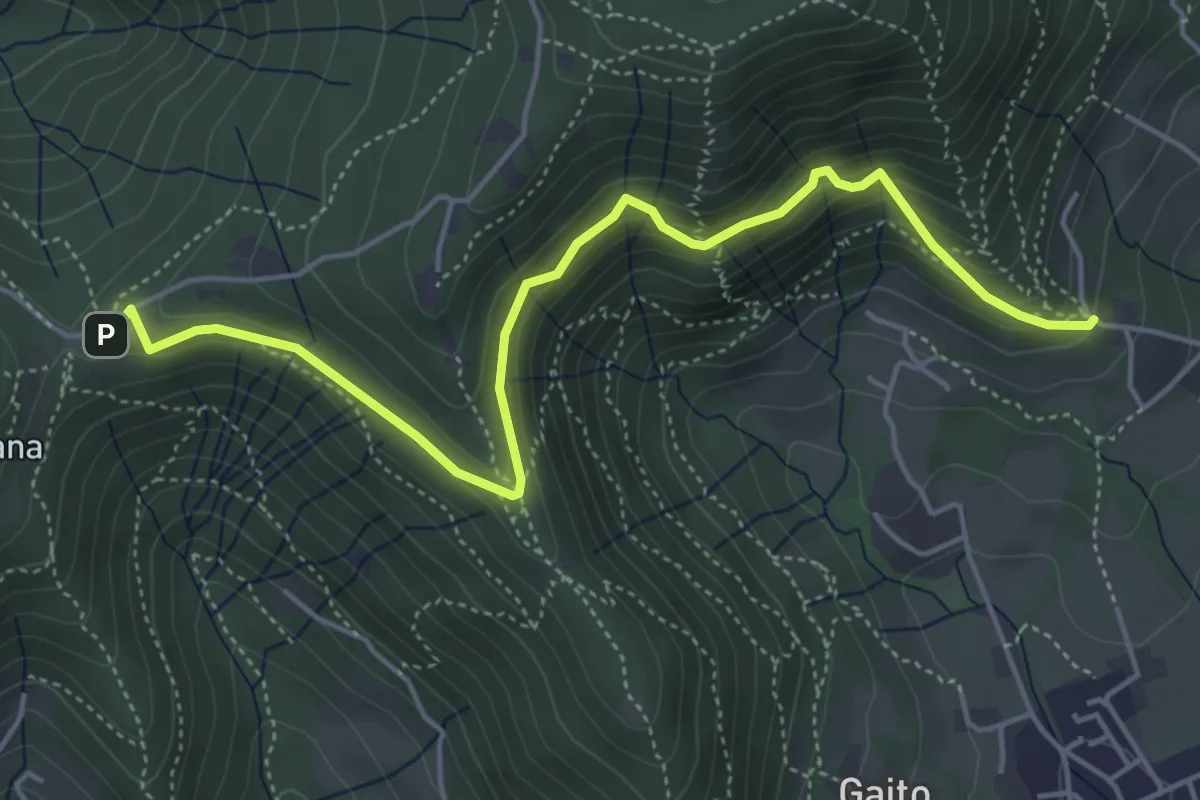
Medium · Trail
San Rocco (Ranica) – Maresana (Ponteranica)
5.4 km · ↑ 332 m · 2 h · 4 km away
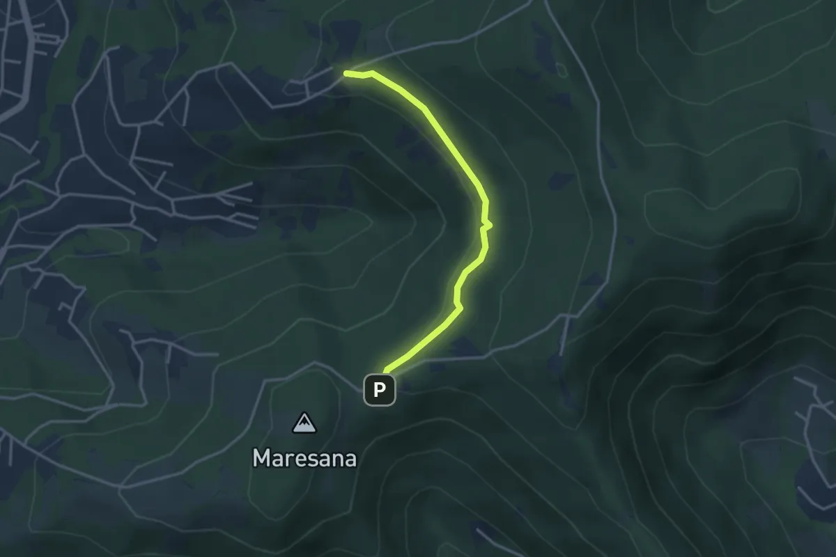
Easy · Trail
Maresana (Ponteranica) – Castello della Moretta (Ponteranica)
3.0 km · ↑ 63 m · 51 min · 4 km away
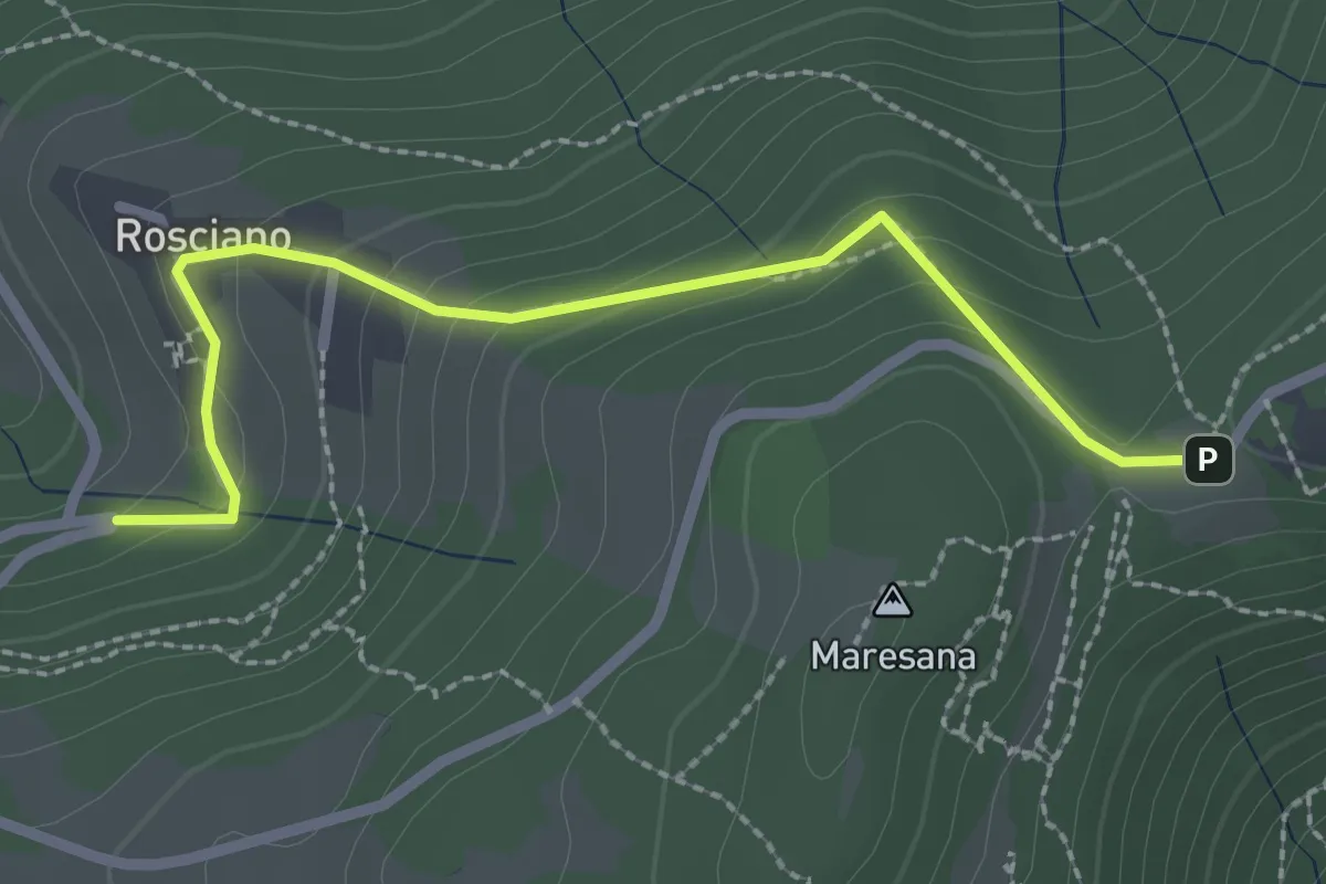
Easy · Trail
Rosciano (Ponteranica) – Maresana (Ponteranica)
2.6 km · ↑ 147 m · 55 min · 4 km away
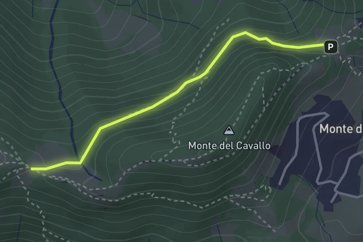
Easy · Trail
Canto Basso – Forcella di Monte di Nese
2.7 km · ↑ 240 m · 1 h 10 min · 4 km away
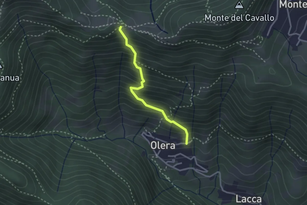
Medium · Trail
Olera (Alzano Lombardo) – Canto Basso
2.3 km · ↑ 347 m · 1 h 18 min · 5 km away
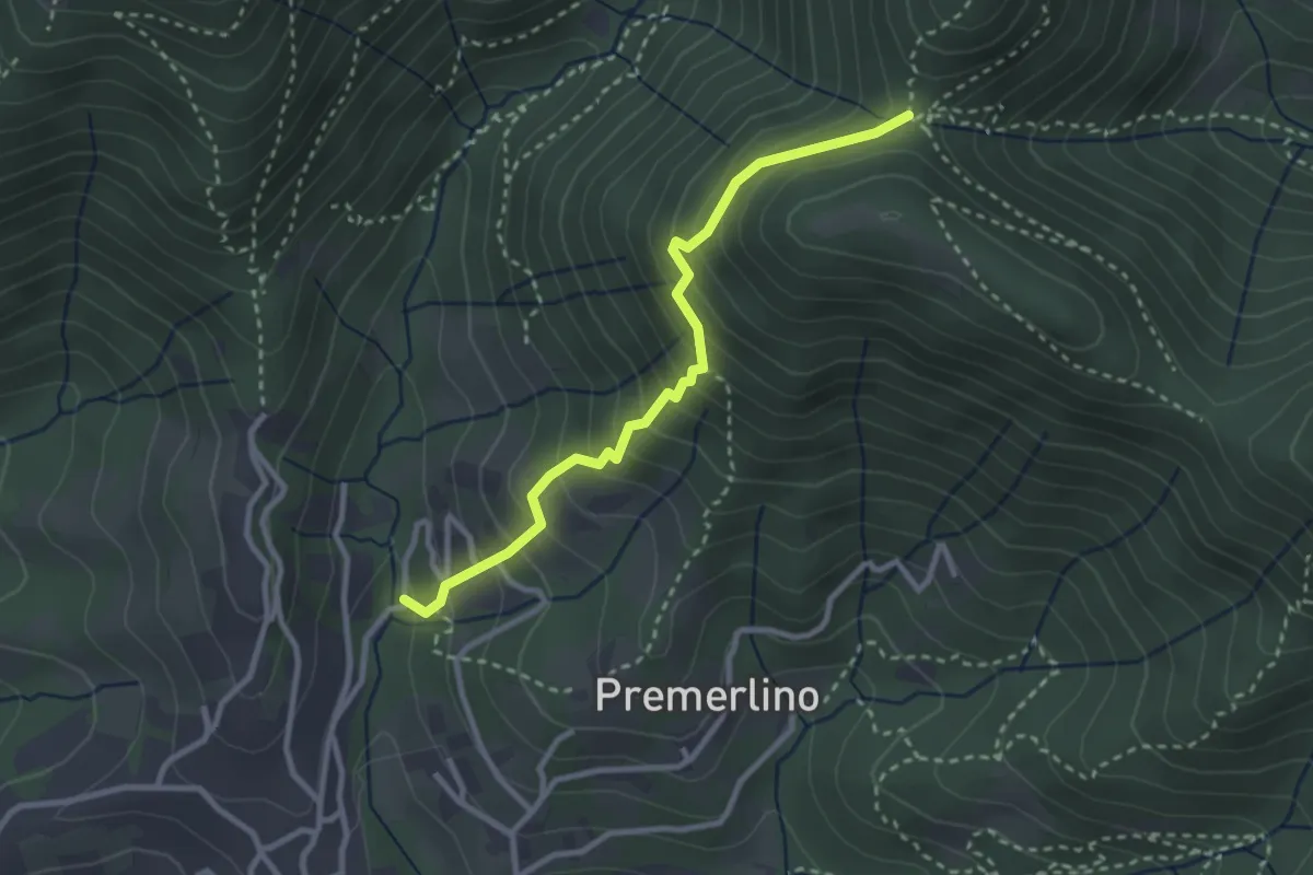
Medium · Trail
Catene (Sorisole) – Forcella del Sorriso
2.9 km · ↑ 309 m · 1 h 21 min · 5 km away
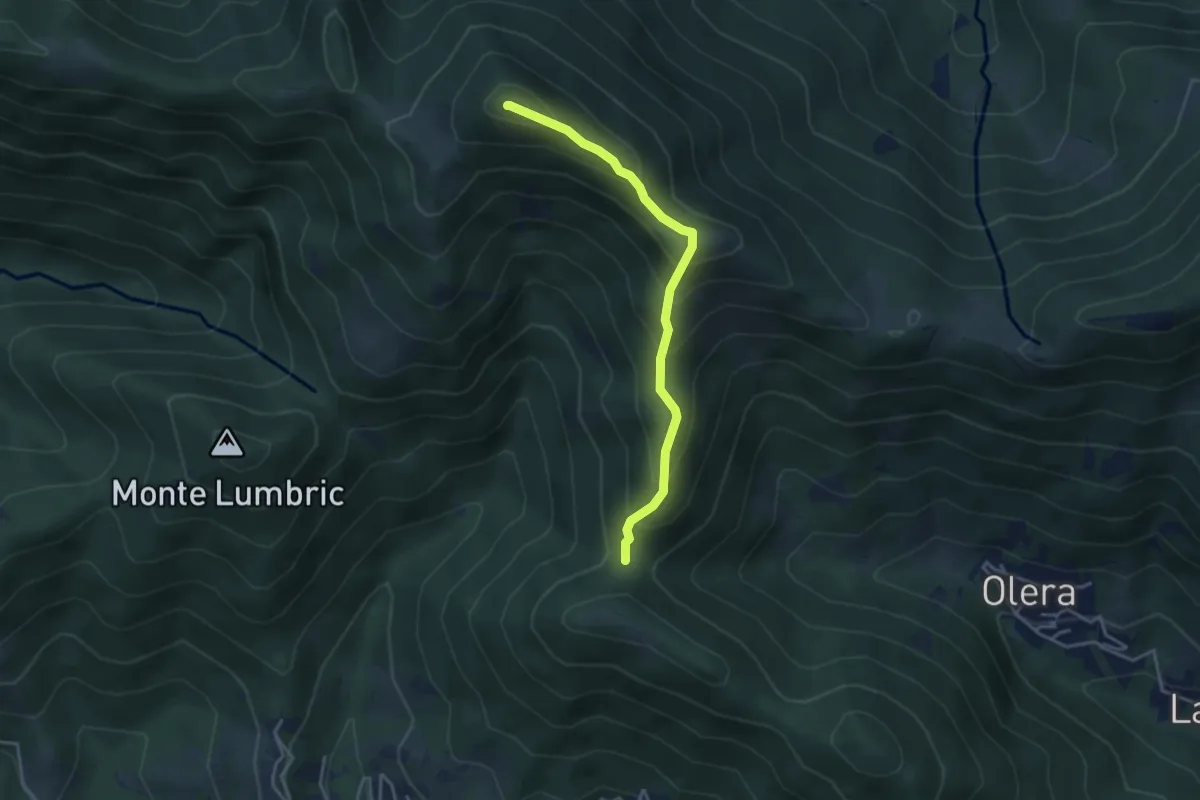
Medium · Summit
Forcella del Sorriso – Monte Canto Alto
3.6 km · ↑ 370 m · 1 h 39 min · 5 km away
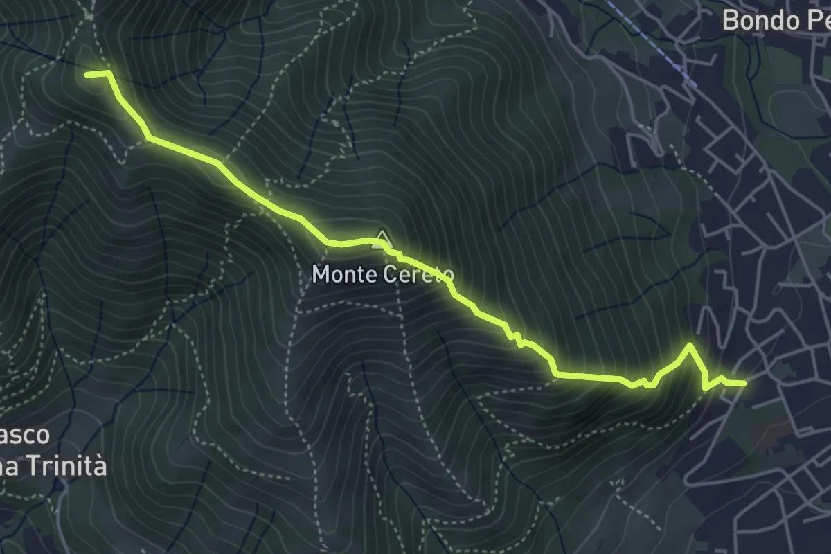
Medium · Summit
Albino – Selvino (Masu)
5.0 km · ↑ 625 m · 2 h 32 min · 5 km away
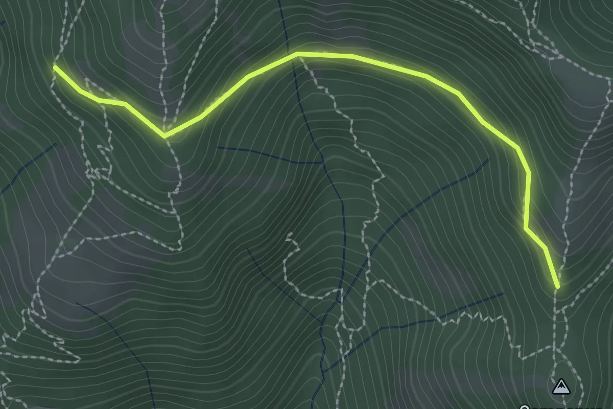
Medium · Trail
La Senna – Campanua
2.5 km · ↑ 151 m · 55 min · 5 km away
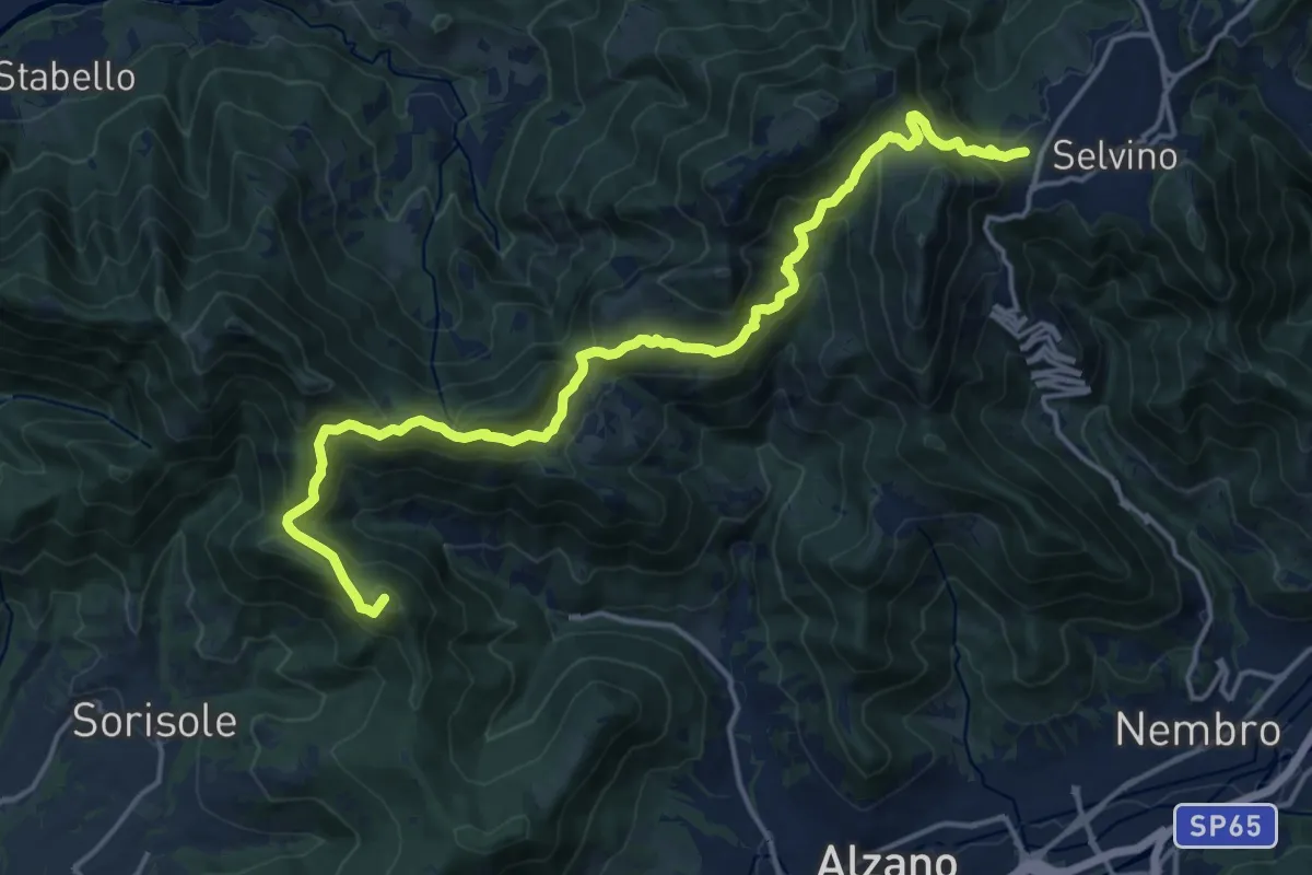
Demanding · Summit
Bergamo (Monterosso) – Selvino
18.3 km · ↑ 1015 m · 6 h 32 min · 5 km away
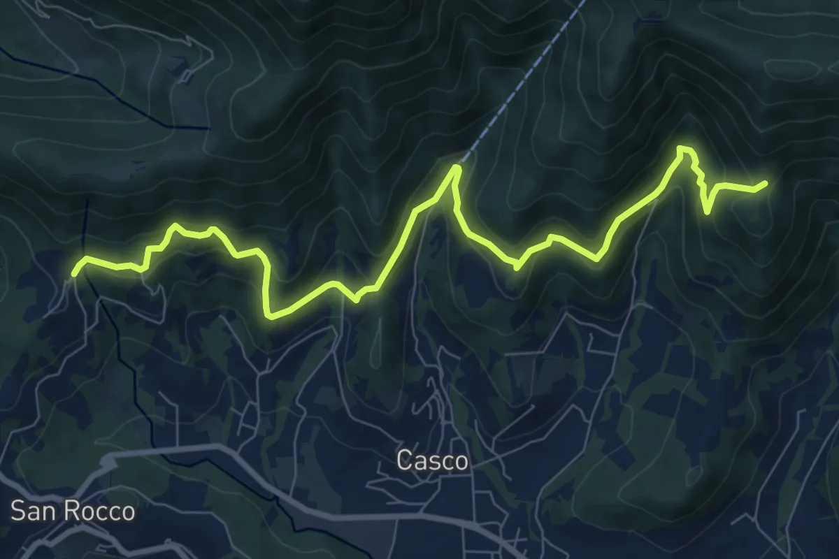
Medium · Trail
Sentiero Verde
10.0 km · ↑ 617 m · 3 h 42 min · 6 km away
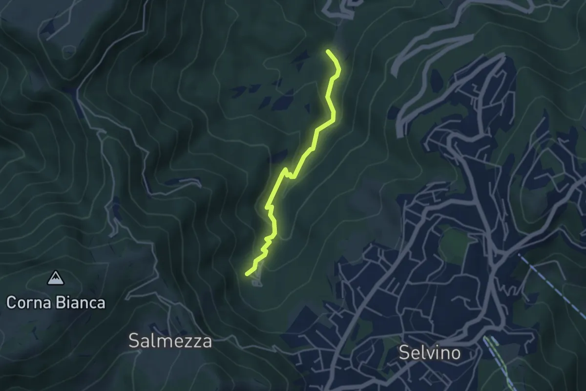
Medium · Trail
Rigosa (Loc. Fop) – Selvino (Sorgente Cantor)
3.4 km · ↑ 225 m · 1 h 18 min · 6 km away
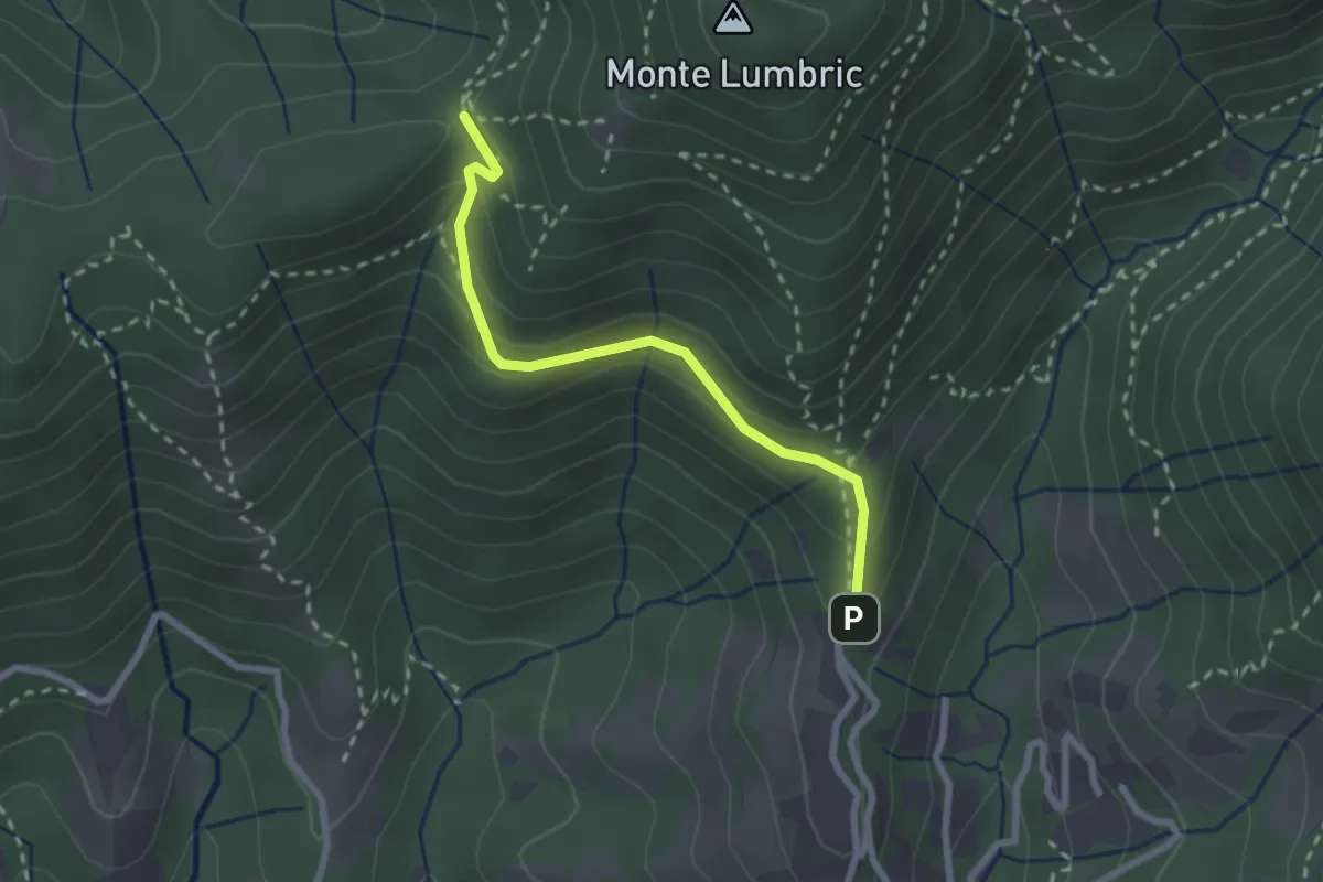
Easy · Trail
Pisgiu (Sorisole) – Forcella di Rua (Sorisole)
2.4 km · ↑ 157 m · 54 min · 6 km away
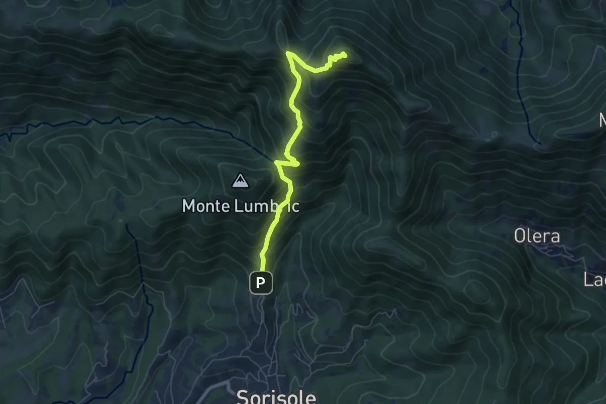
Demanding · Summit
Pisgiu – Monte Canto Alto
6.1 km · ↑ 609 m · 2 h 46 min · 6 km away
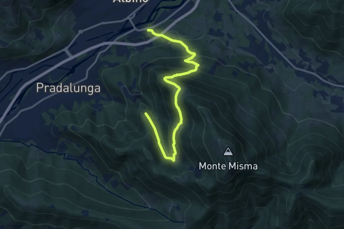
Medium · Trail
Albino – Forcella di Pradalunga
9.4 km · ↑ 747 m · 3 h 51 min · 6 km away
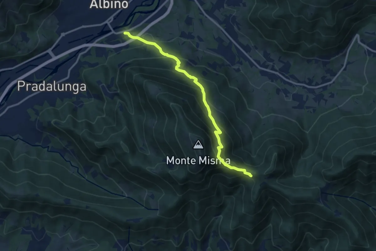
Medium · Cabin
Albino – S. Maria del Misma
8.8 km · ↑ 773 m · 3 h 45 min · 6 km away
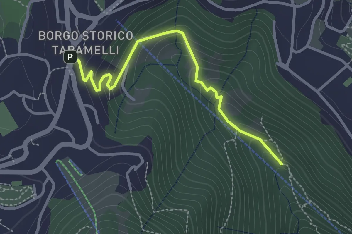
Easy · Trail
Incrocio 550 – Selvino
2.6 km · ↑ 160 m · 58 min · 6 km away
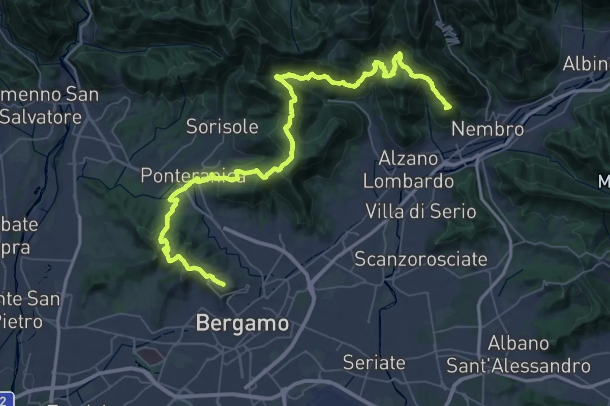
Demanding · Summit
La Via delle Sorelle - Tappa 6 Traversa
19.8 km · ↑ 1016 m · 7 h 3 min · 6 km away
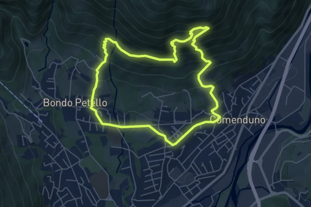
Demanding · Trail
Sentiero 1
5.2 km · ↑ 485 m · 2 h 21 min · 6 km away
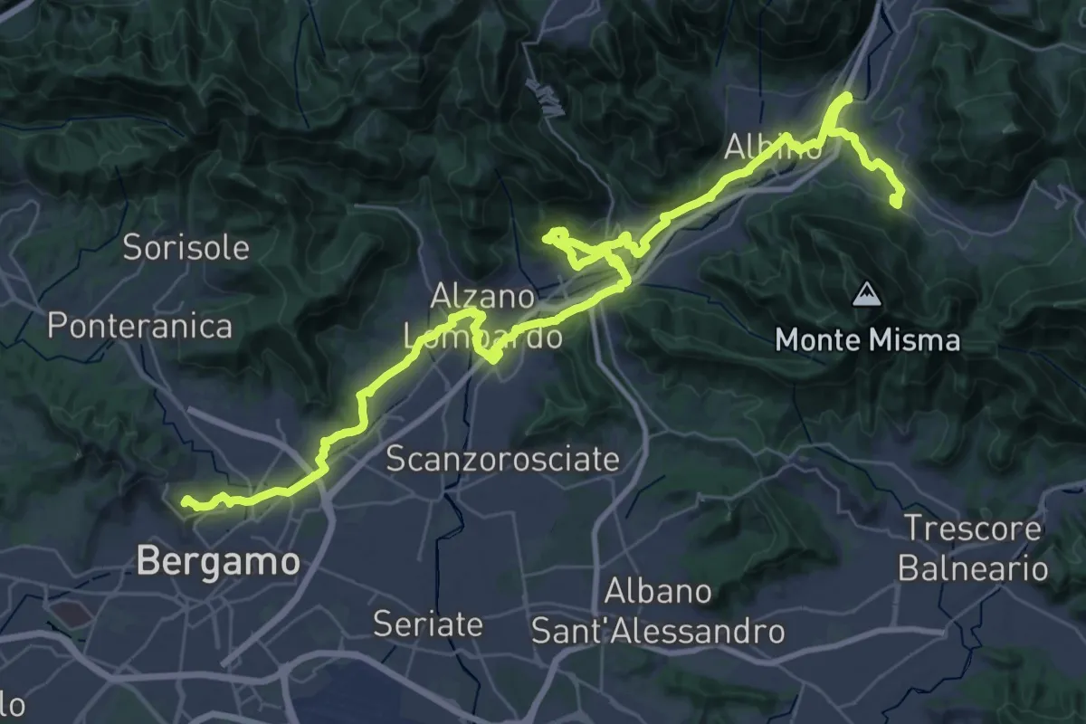
Demanding · Trail
Alta Via delle Grazie - Tappa 13
25.6 km · ↑ 413 m · 7 h 17 min · 6 km away
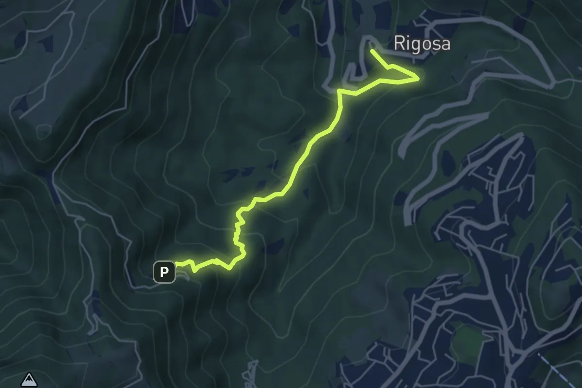
Medium · Trail
Rigosa – Santuario del Perello
5.0 km · ↑ 384 m · 2 h · 6 km away
Easy · Summit
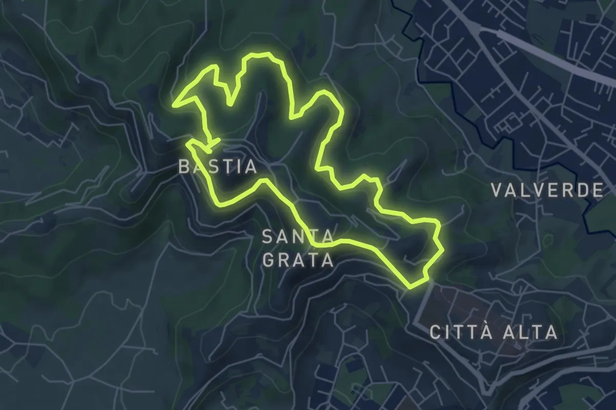
Le Vie del Verde (Itinerario 2)
6.0 km · ↑ 282 m · 2 h 6 min · 6 km away
Demanding · Trail
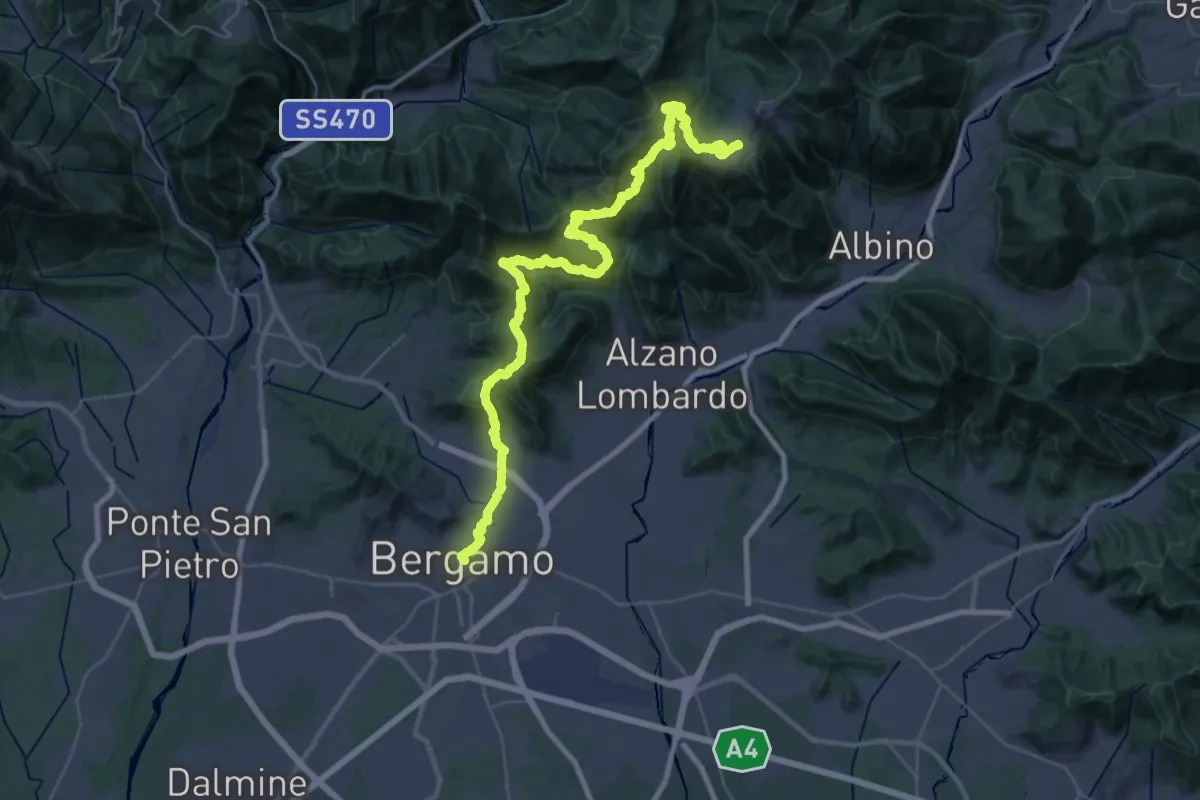
Alta Via delle Grazie - Tappa 1
22.4 km · ↑ 1546 m · 8 h 35 min · 6 km away
Easy · Summit
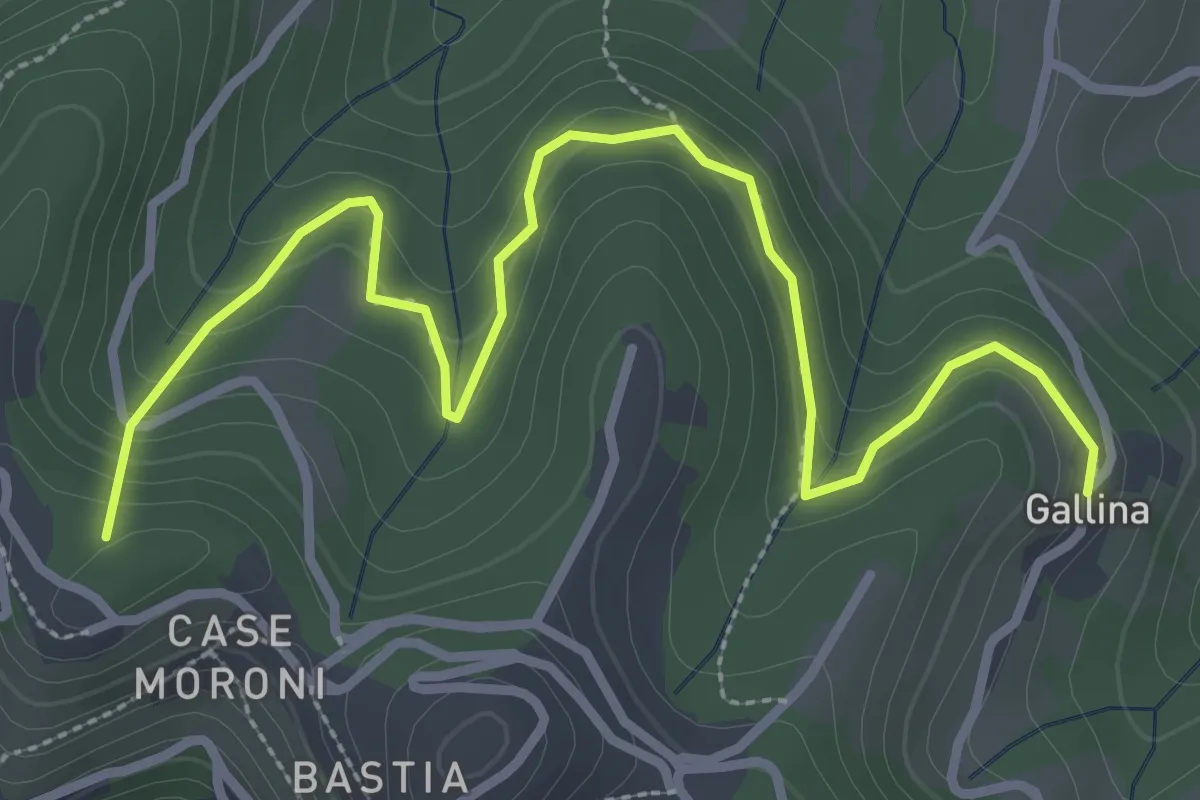
Sentiero dei Vasi
3.8 km · ↑ 252 m · 1 h 27 min · 6 km away
Medium · Summit
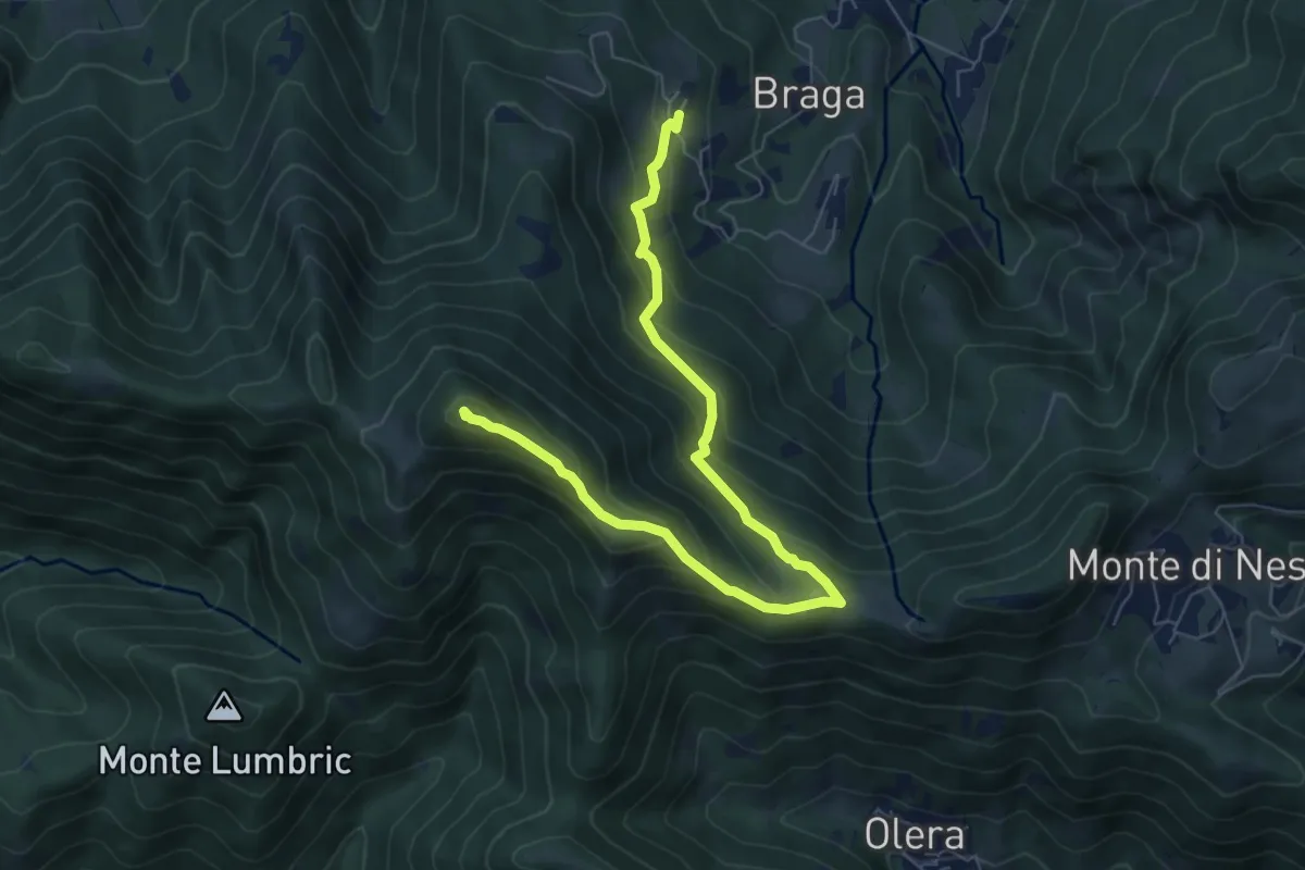
Cler (Sedrina) – Ripa (Poscante)
7.8 km · ↑ 573 m · 3 h 4 min · 6 km away
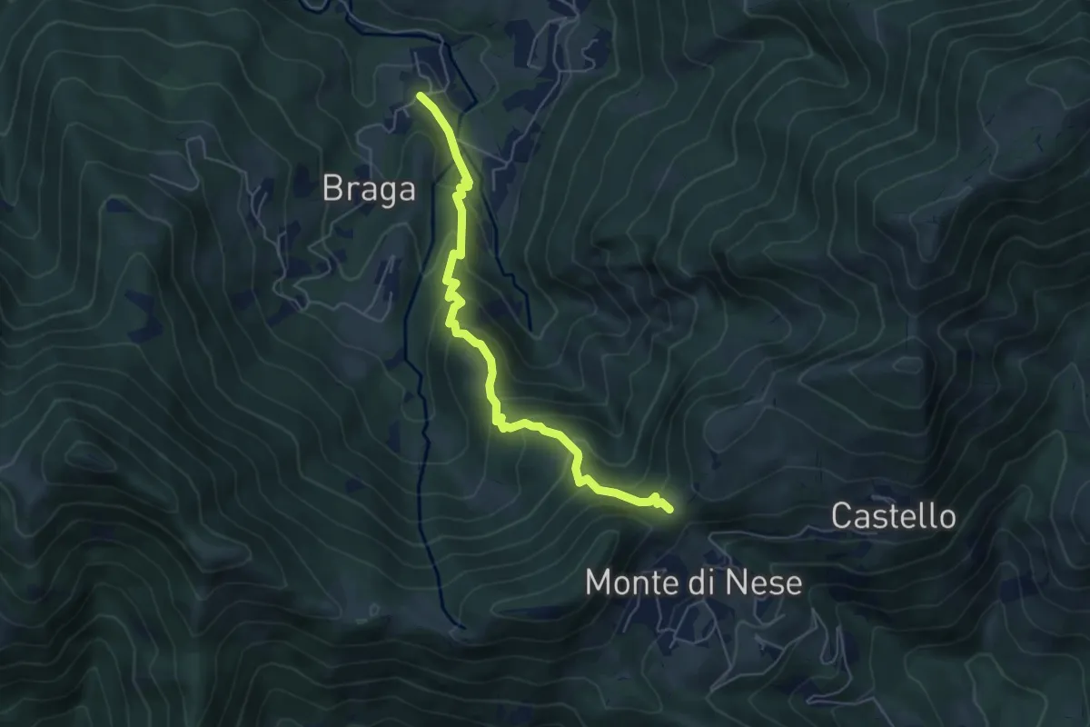
Medium · Trail
Poscante – Forcella di Monte di Nese
5.7 km · ↑ 465 m · 2 h 21 min · 6 km away
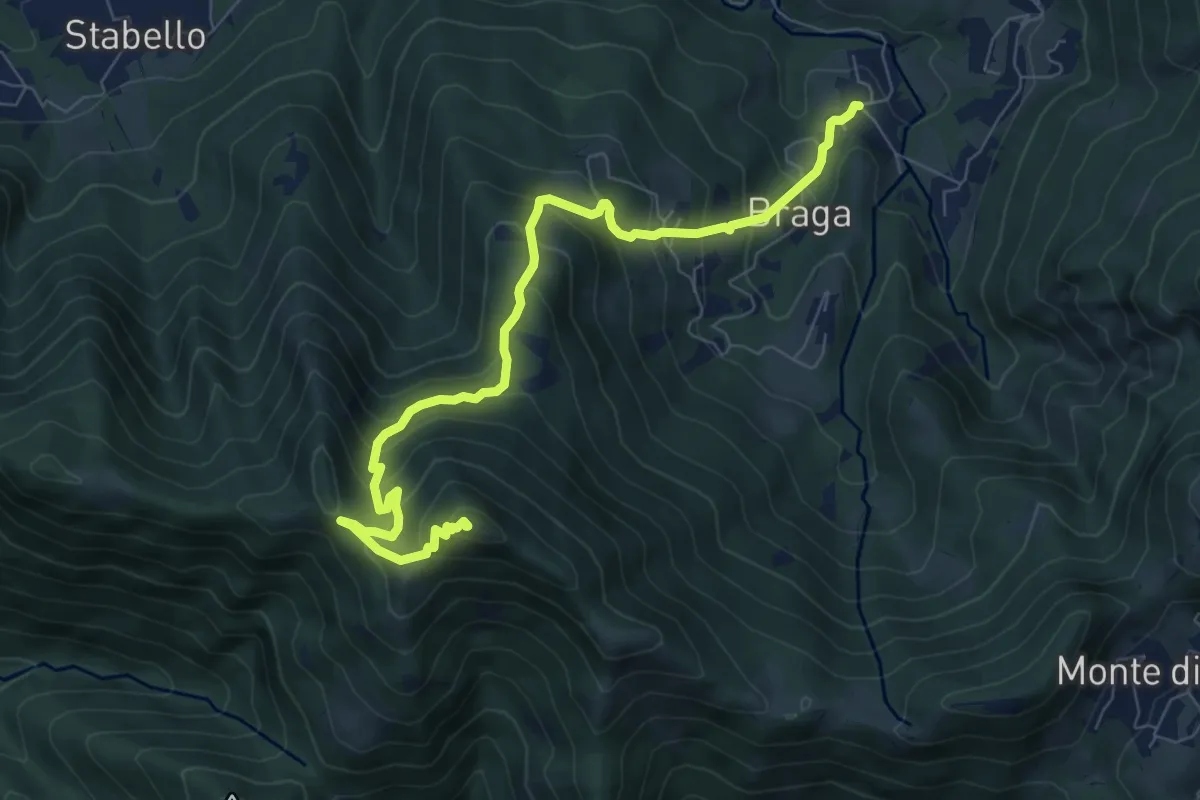
Medium · Summit
Poscante – Canto Alto
8.5 km · ↑ 775 m · 3 h 41 min · 6 km away
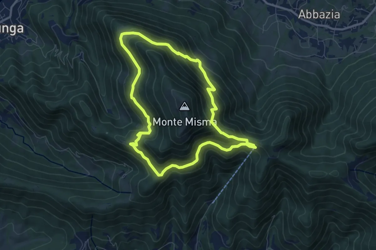
Medium · Trail
Le vie del Misma
7.5 km · ↑ 562 m · 3 h 5 min · 6 km away
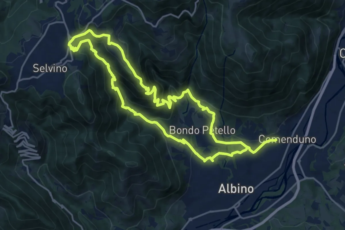
Medium · Summit
Sentiero 5
12.7 km · ↑ 702 m · 4 h 42 min · 7 km away