Trails near Alzano Lombardo
198 hikes starting within 15 km, nearest first.
Nearest first, page 4 of 5
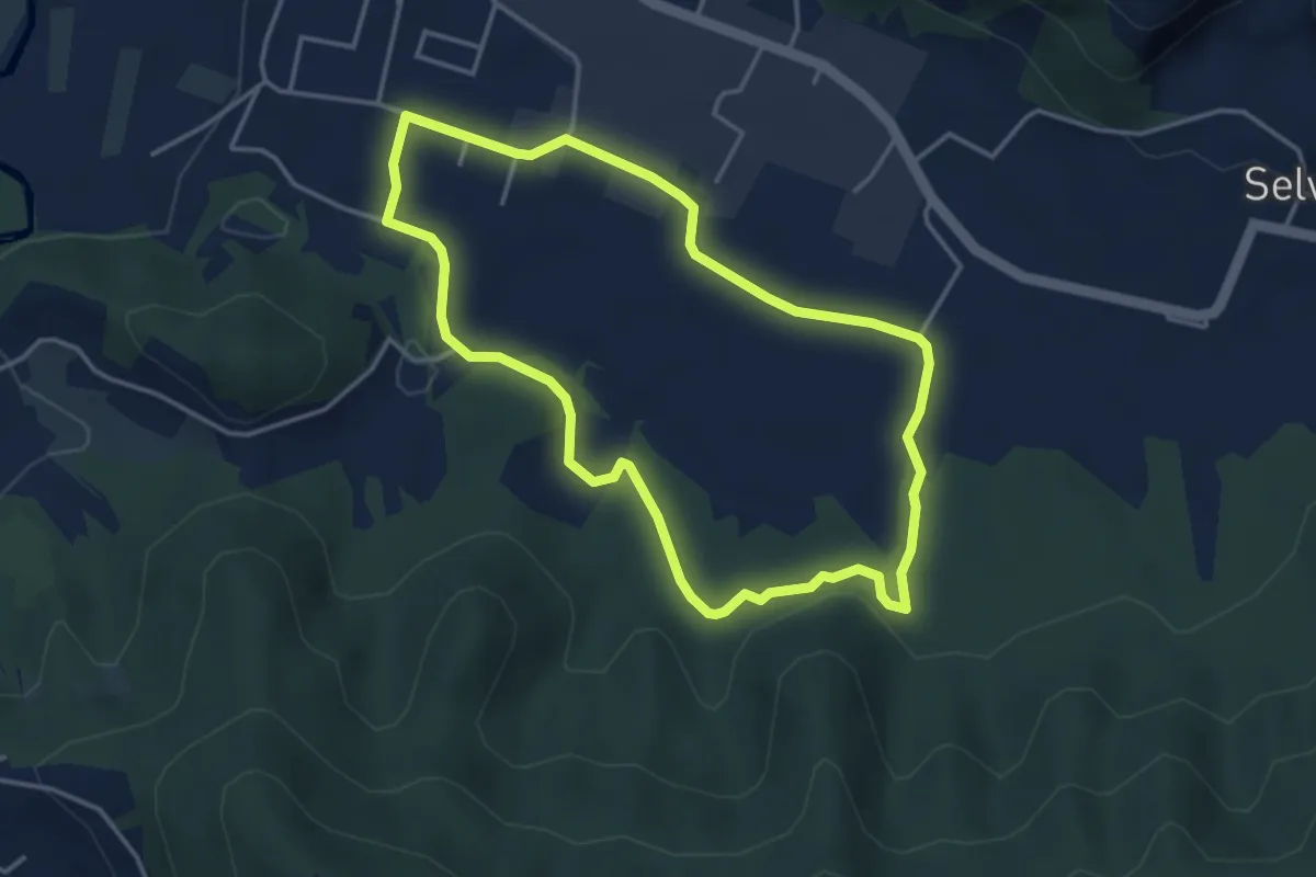
Easy · Trail
San Giorgio (Zandobbio) – San Giorgio (Zandobbio)
3.8 km · ↑ 48 m · 1 h 3 min · 13 km away
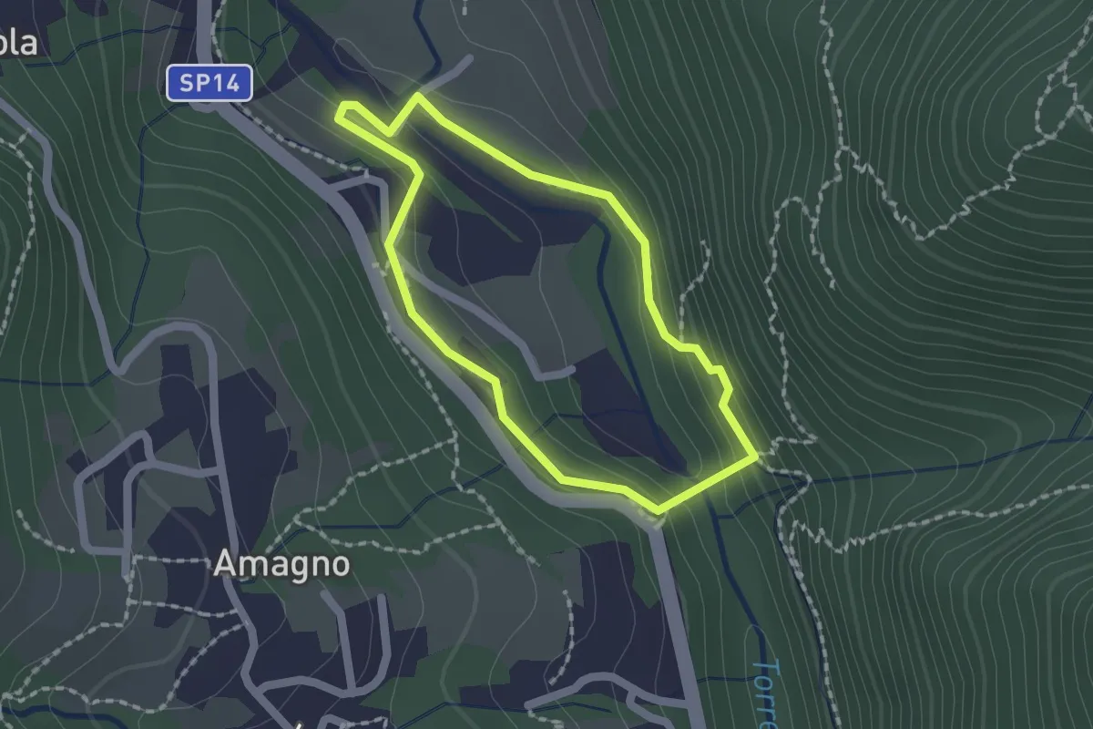
Easy · Trail
Anello del Poscadì
1.5 km · ↑ 62 m · 31 min · 13 km away
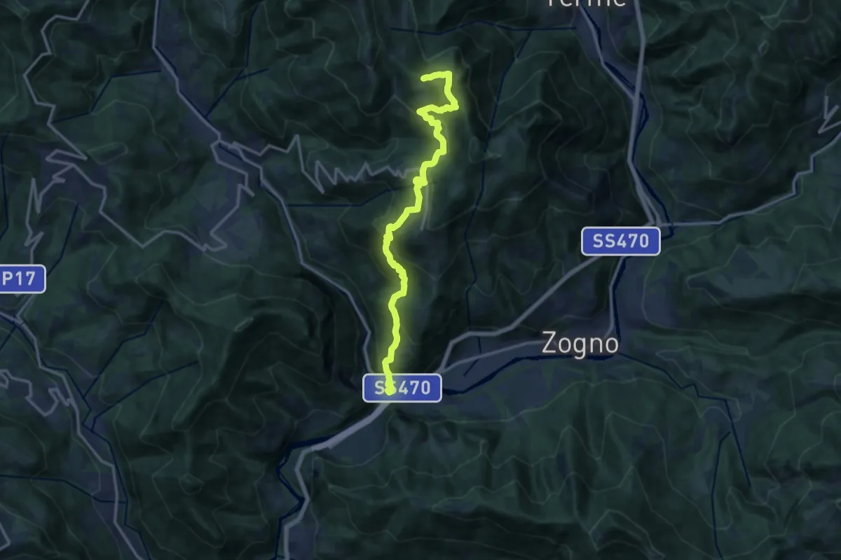
Demanding · Trail
Strada Taverna
13.8 km · ↑ 1035 m · 5 h 30 min · 13 km away
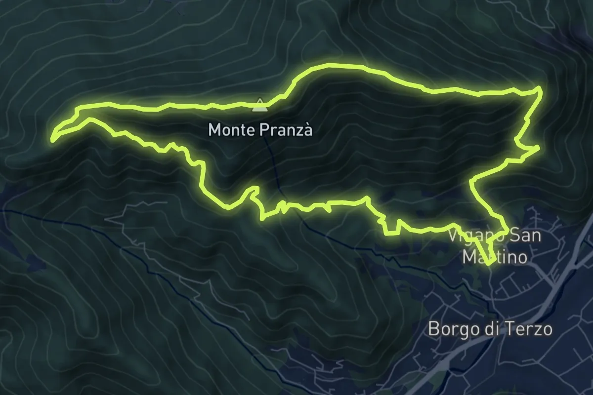
Demanding · Summit
Vigano San Martino – Vigano San Martino
10.4 km · ↑ 875 m · 4 h 29 min · 13 km away
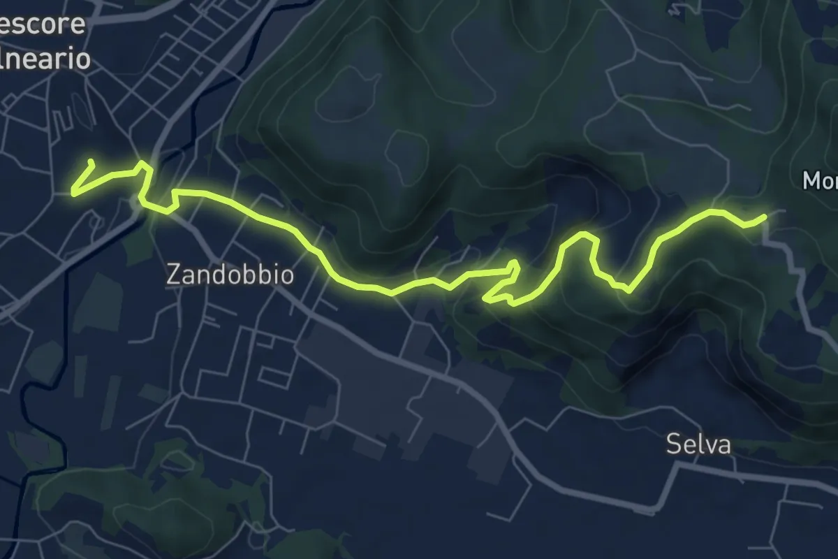
Medium · Trail
Trescore Balneario – Buca del Corno
8.6 km · ↑ 380 m · 2 h 52 min · 13 km away
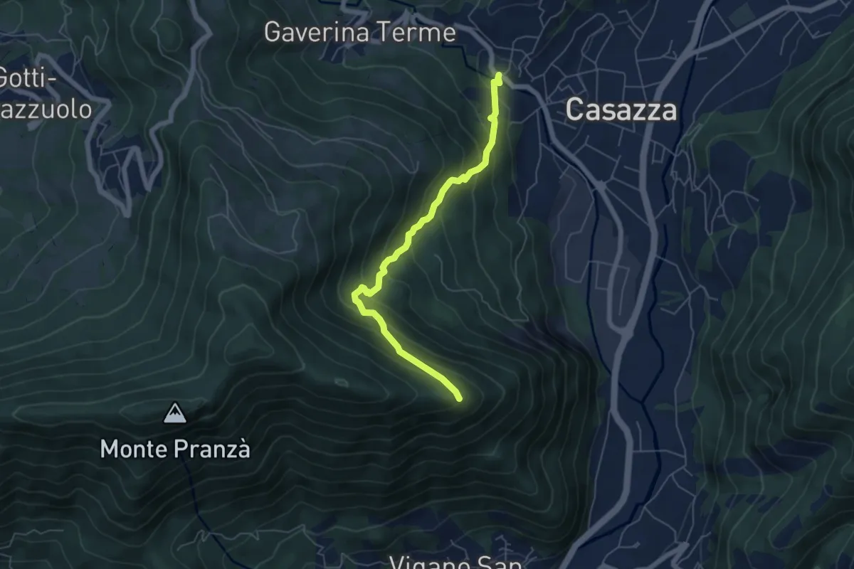
Expert · Trail
Mologno di Casazza – Cesulì
5.6 km · ↑ 492 m · 2 h 23 min · 13 km away
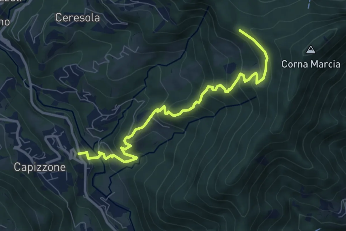
Medium · Trail
Medega (Capizzone) – Passo del Canto
7.9 km · ↑ 565 m · 3 h 5 min · 13 km away
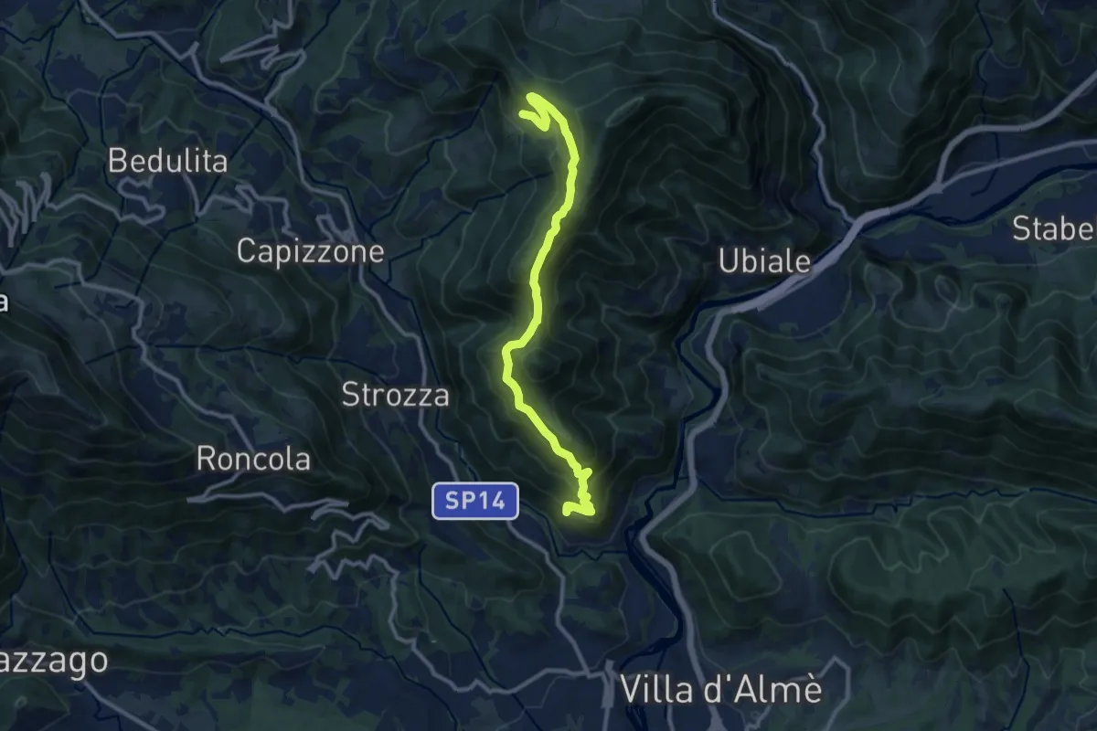
Medium · Trail
Sentiero del Partigiano Angelo Gotti
10.9 km · ↑ 778 m · 4 h 15 min · 13 km away
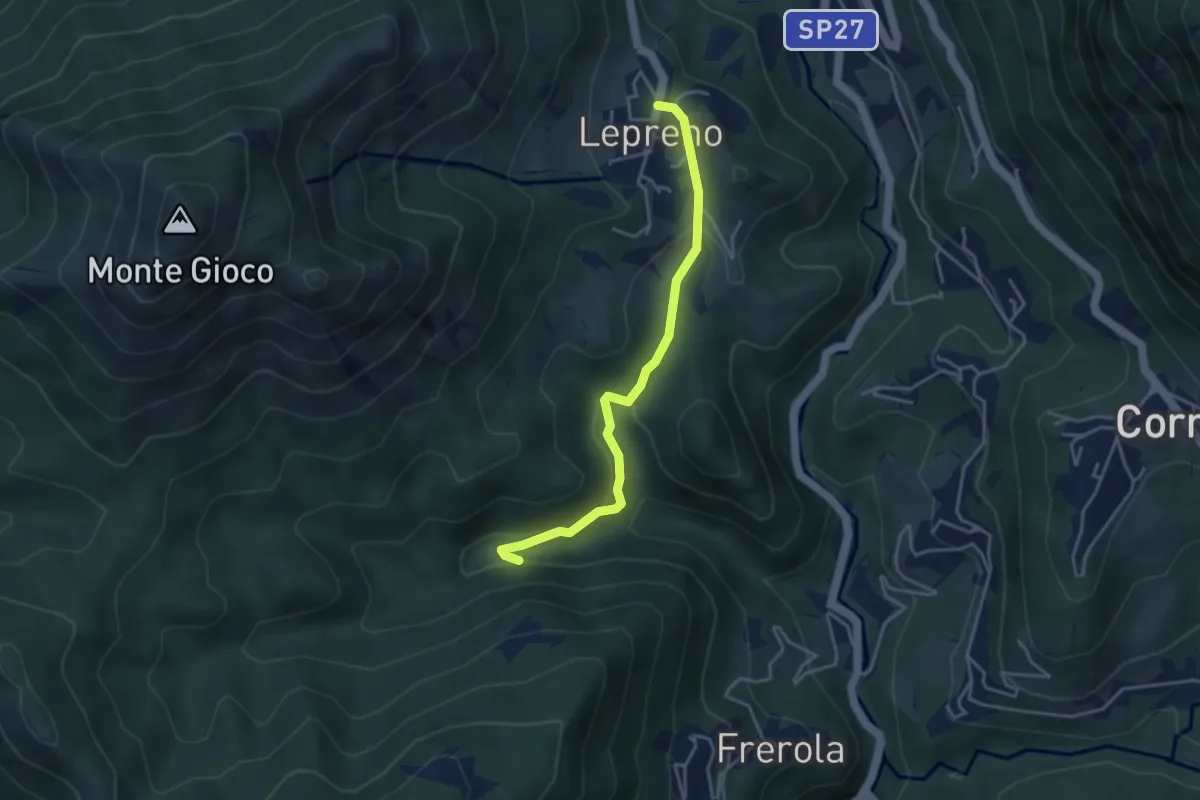
Medium · Trail
Lepreno – Incrocio 593
3.8 km · ↑ 134 m · 1 h 11 min · 13 km away
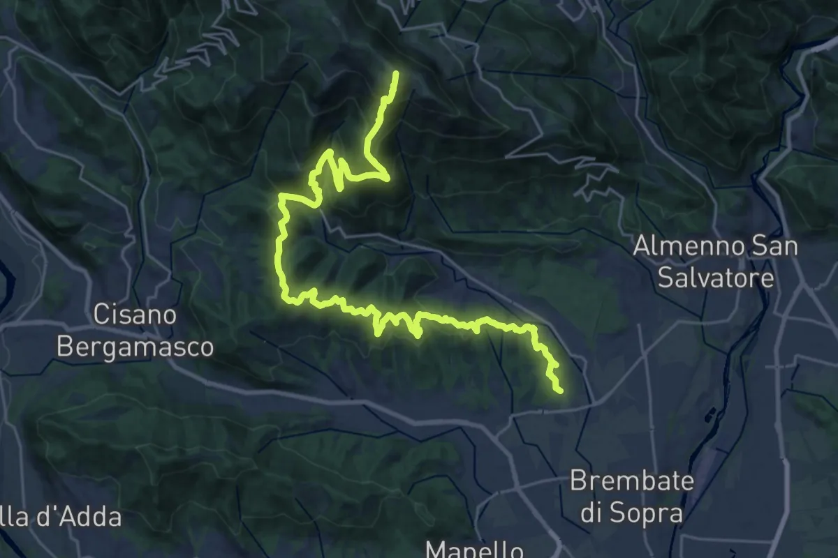
Demanding · Summit
Sentiero del Crinale
30.4 km · ↑ 1770 m · 11 h · 13 km away
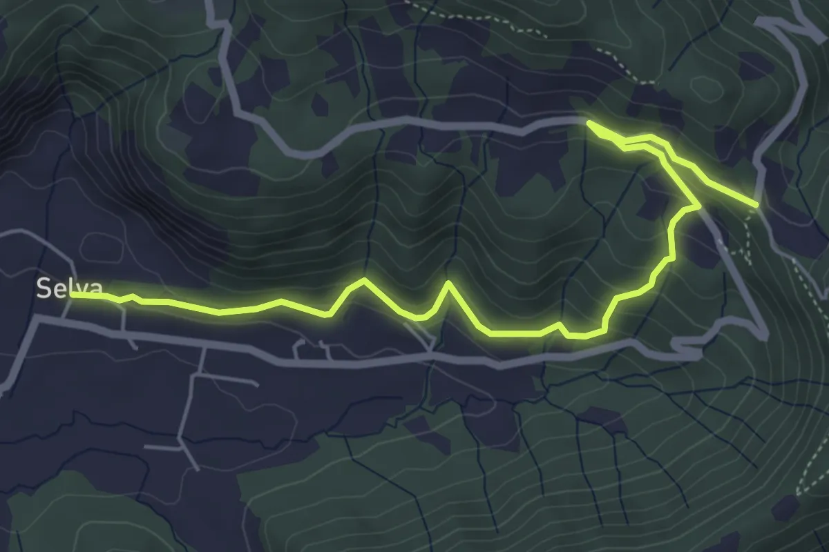
Medium · Trail
Selva – Colle San Giovanni
6.1 km · ↑ 362 m · 2 h 14 min · 13 km away
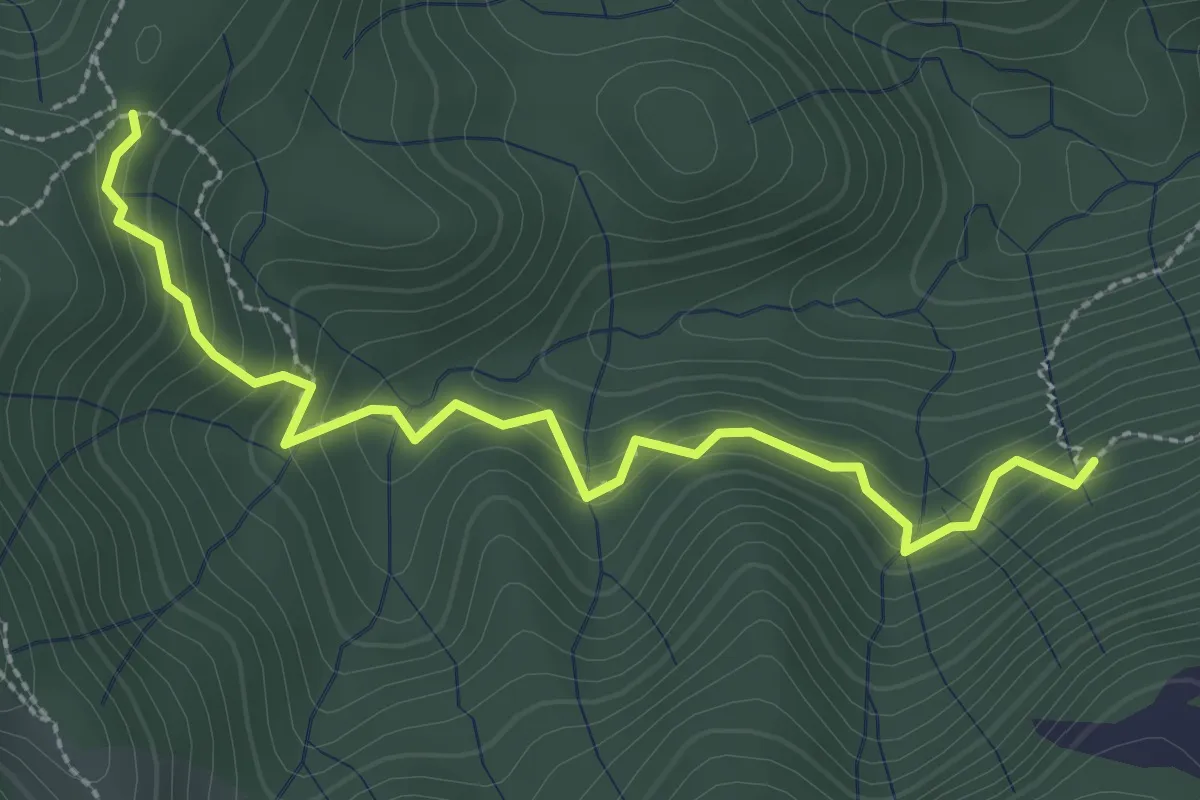
Medium · Trail
Incrocio 593 – Incrocio 561/598
3.0 km · ↑ 277 m · 1 h 19 min · 13 km away
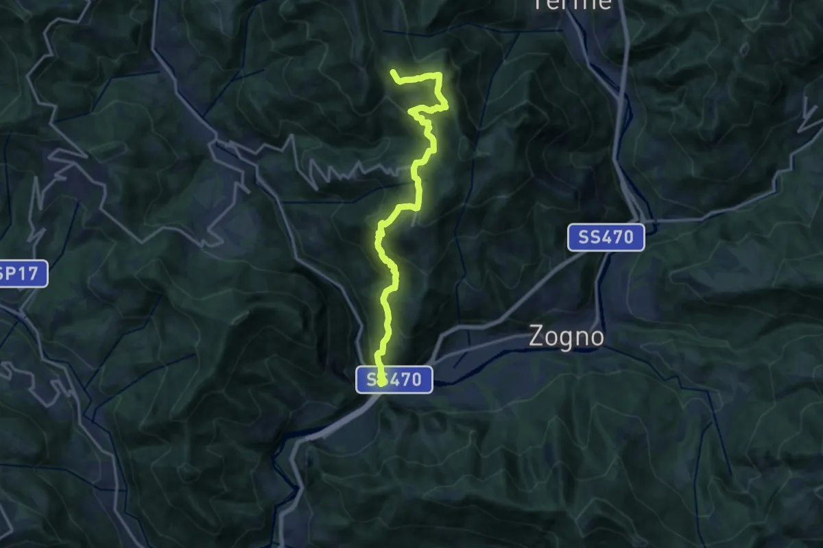
Demanding · Trail
Ponti di S. Antonio – Roccoli Spadì
14.5 km · ↑ 1073 m · 5 h 45 min · 13 km away
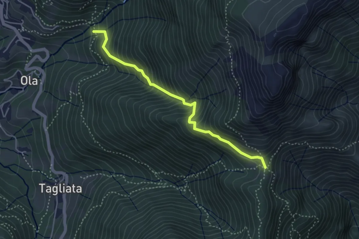
Medium · Trail
Incrocio H41 – Passo Barbata
3.8 km · ↑ 473 m · 1 h 56 min · 13 km away
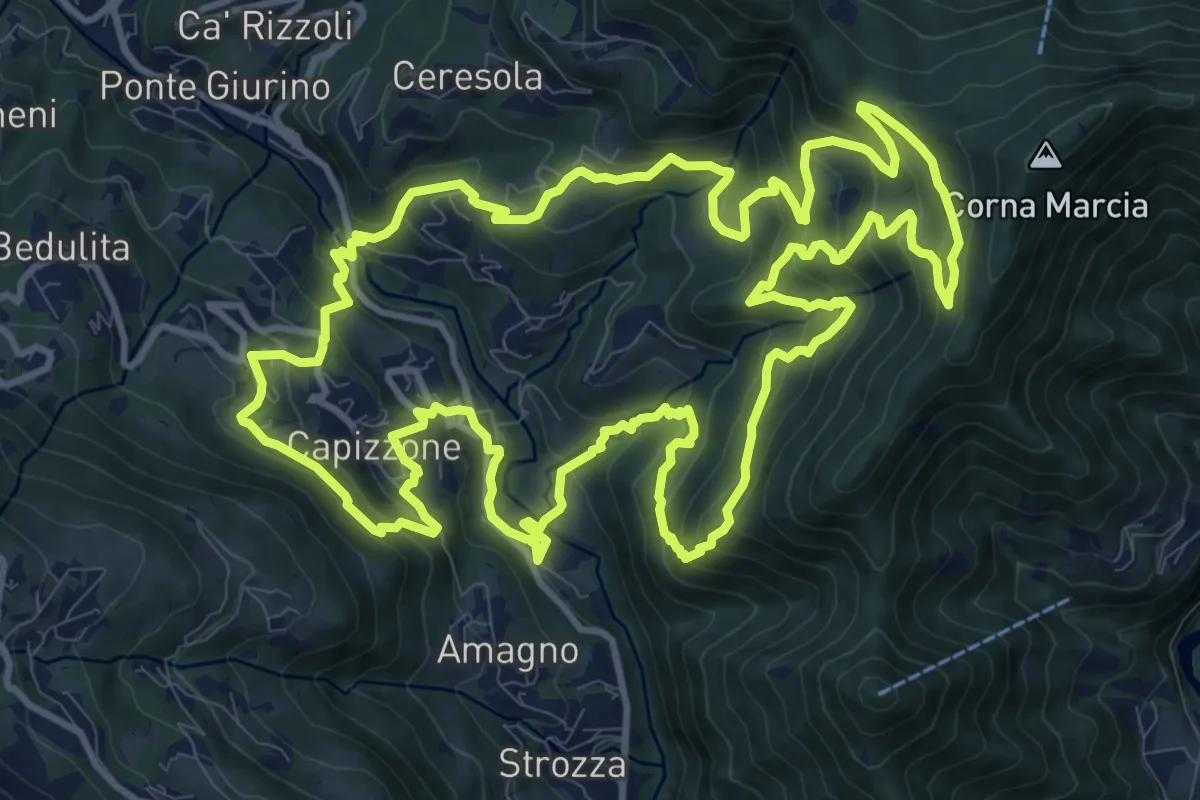
Demanding · Trail
Anello delle Contrade
14.2 km · ↑ 981 m · 5 h 41 min · 13 km away
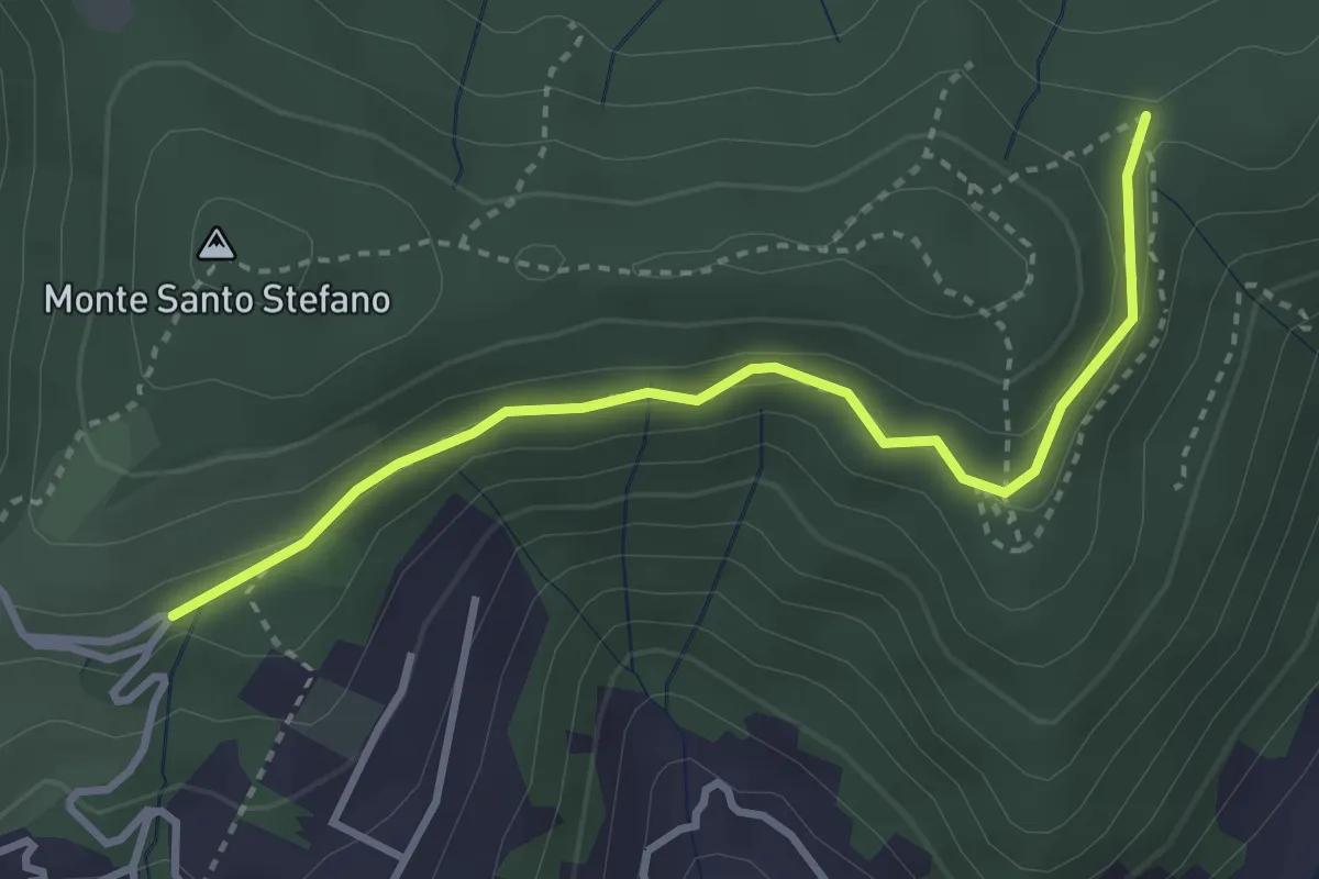
Medium · Trail
Cascina Pedrini – Boca di senter
3.4 km · ↑ 120 m · 1 h 4 min · 13 km away
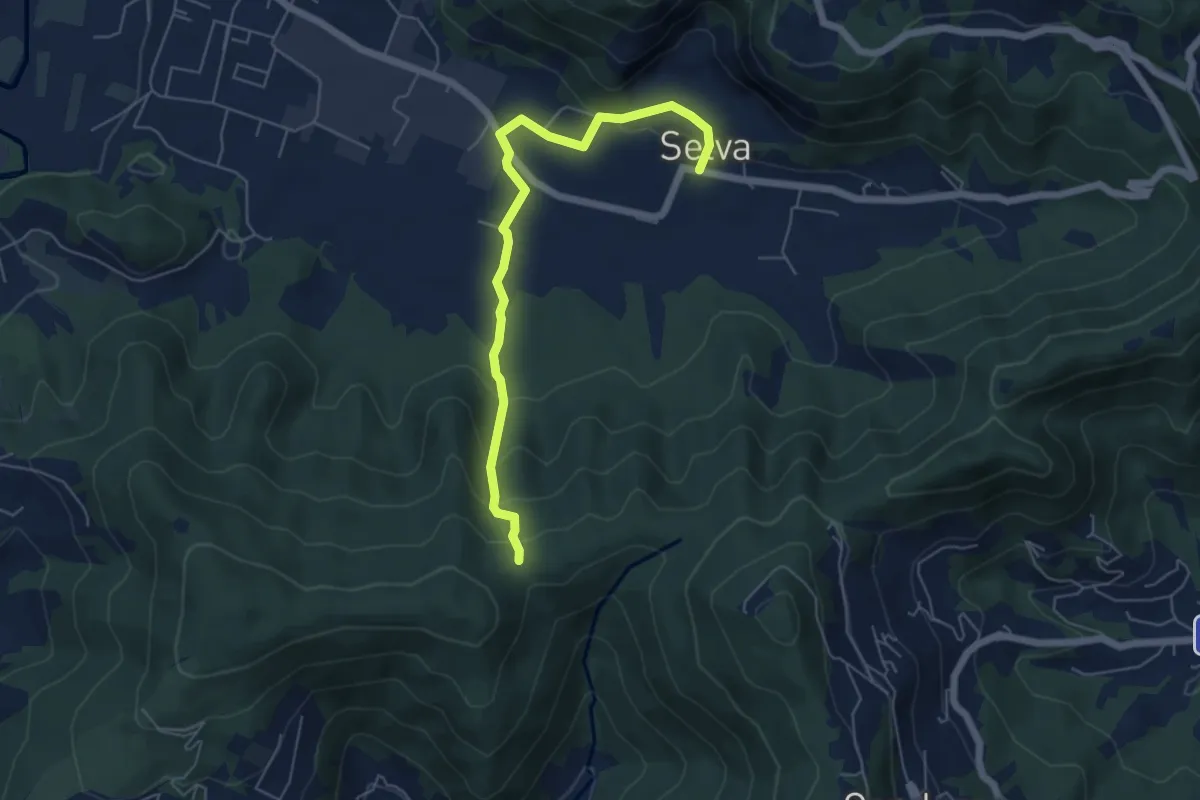
Easy · Trail
Selva – Boca di senter
5.8 km · ↑ 261 m · 1 h 56 min · 13 km away
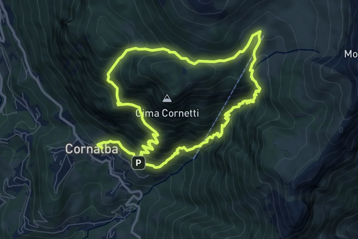
Medium · Trail
Cornalba – Cornalba
7.5 km · ↑ 759 m · 3 h 32 min · 13 km away
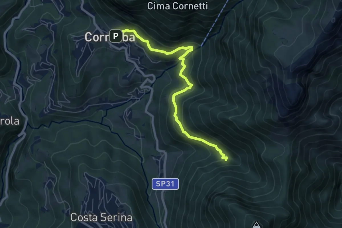
Medium · Trail
Cornalba – Incrocio 519B
6.4 km · ↑ 430 m · 2 h 26 min · 13 km away
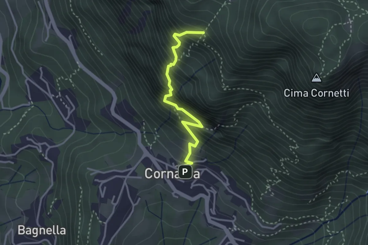
Demanding · Trail
Cornalba – Falesia Corna Bianca
2.9 km · ↑ 526 m · 1 h 49 min · 13 km away
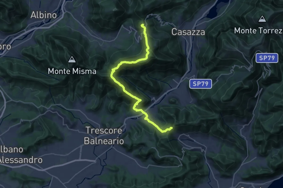
Demanding · Summit
Sentiero Flavio Tasca - Tappa 8
22.8 km · ↑ 1433 m · 8 h 29 min · 13 km away
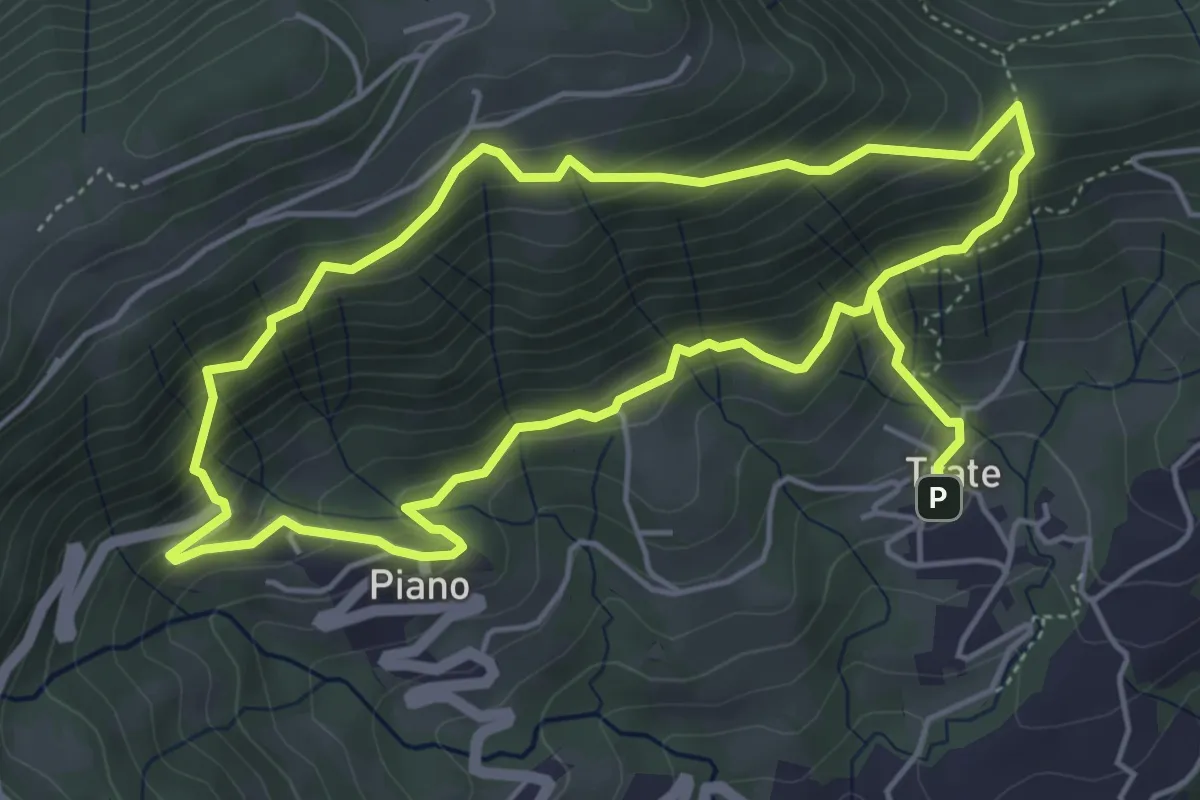
Medium · Trail
Trate (Gaverina Terme) – Trate (Gaverina Terme)
4.9 km · ↑ 435 m · 2 h 7 min · 13 km away
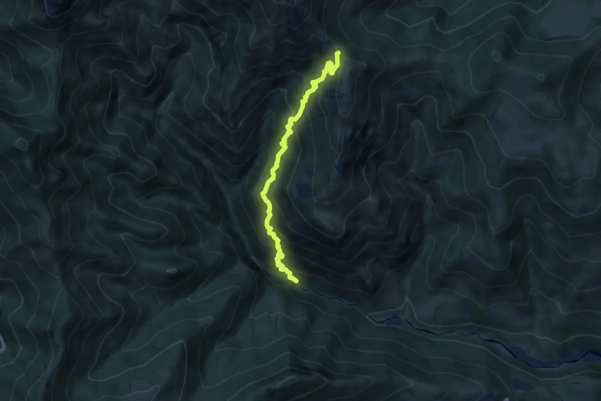
Demanding · Trail
Gaernài (Val Vertova) – Passo di Bliben
7.3 km · ↑ 856 m · 3 h 35 min · 13 km away
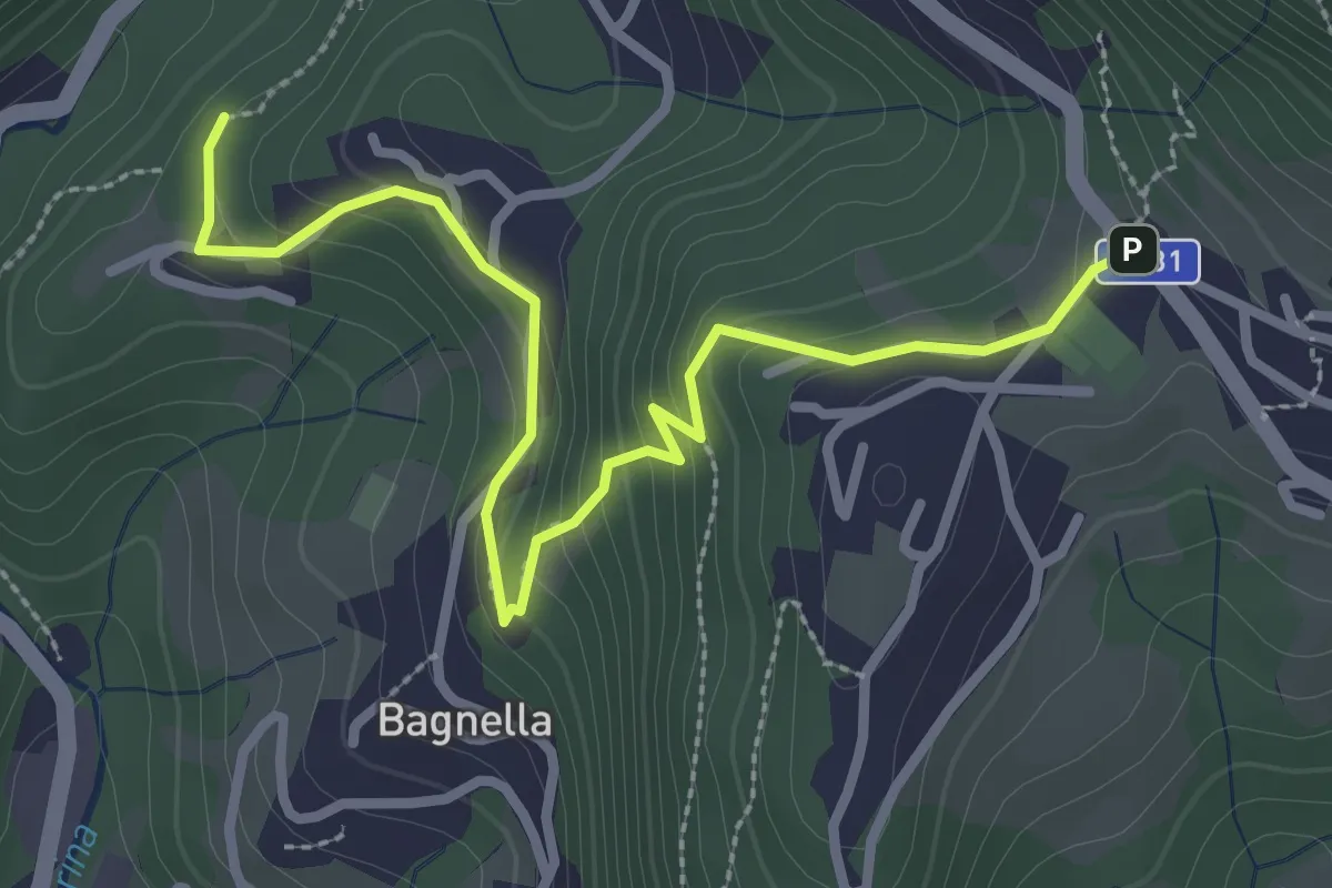
Easy · Trail
Rosolo – Cornalba
3.3 km · ↑ 235 m · 1 h 17 min · 13 km away
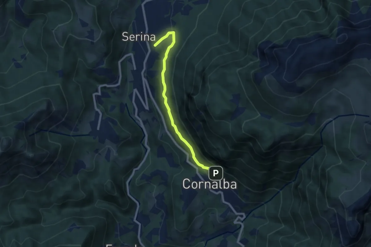
Medium · Trail
Variante Mercatorum
5.8 km · ↑ 297 m · 2 h 1 min · 13 km away
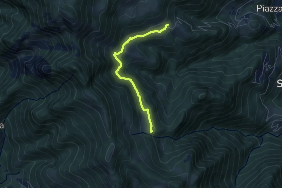
Easy · Trail
Sussia – Cà Boffelli
5.1 km · ↑ 243 m · 1 h 44 min · 13 km away
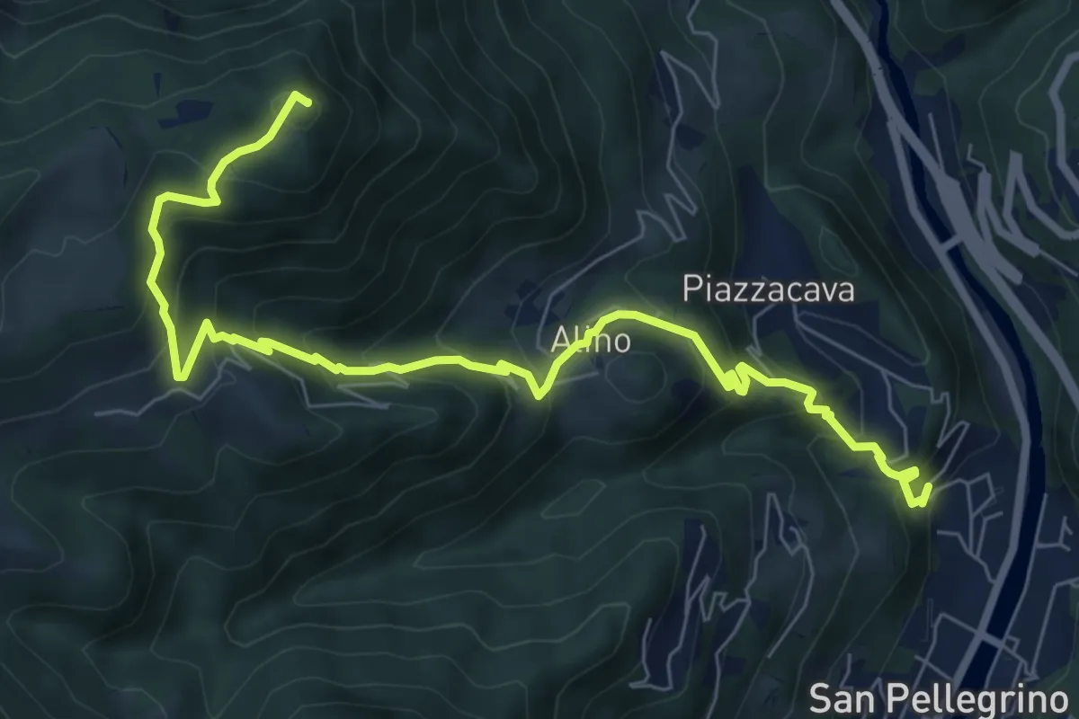
Medium · Summit
Alino (San Pellegrino) – Monte Molinasco
8.7 km · ↑ 729 m · 3 h 39 min · 13 km away
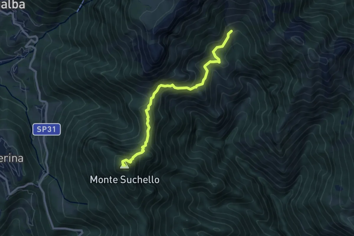
Medium · Summit
Aviatico – Sedernello
6.5 km · ↑ 548 m · 2 h 44 min · 13 km away
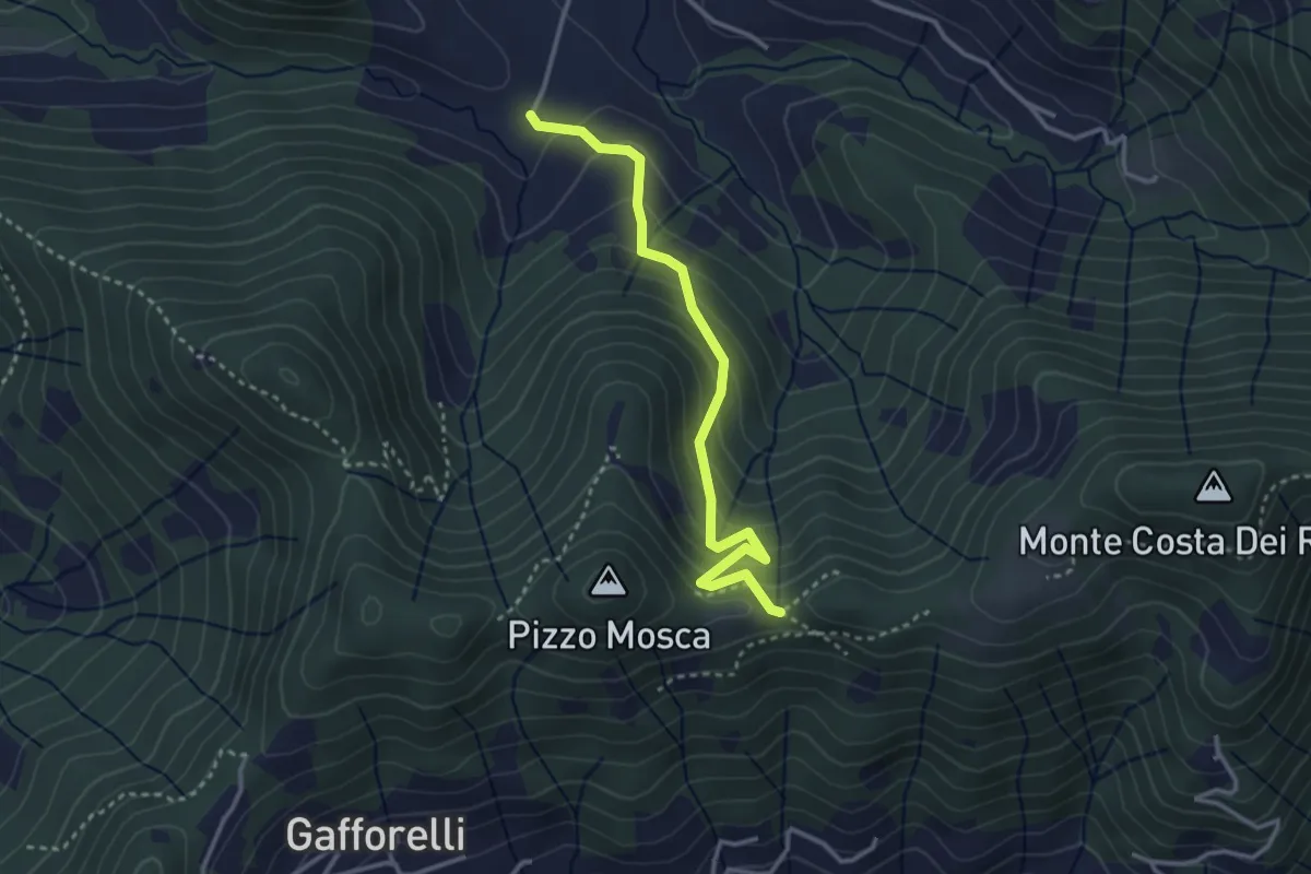
Medium · Trail
Cascina Barberino – Pizzo Mosca (Foresto Sparso)
3.2 km · ↑ 313 m · 1 h 26 min · 13 km away
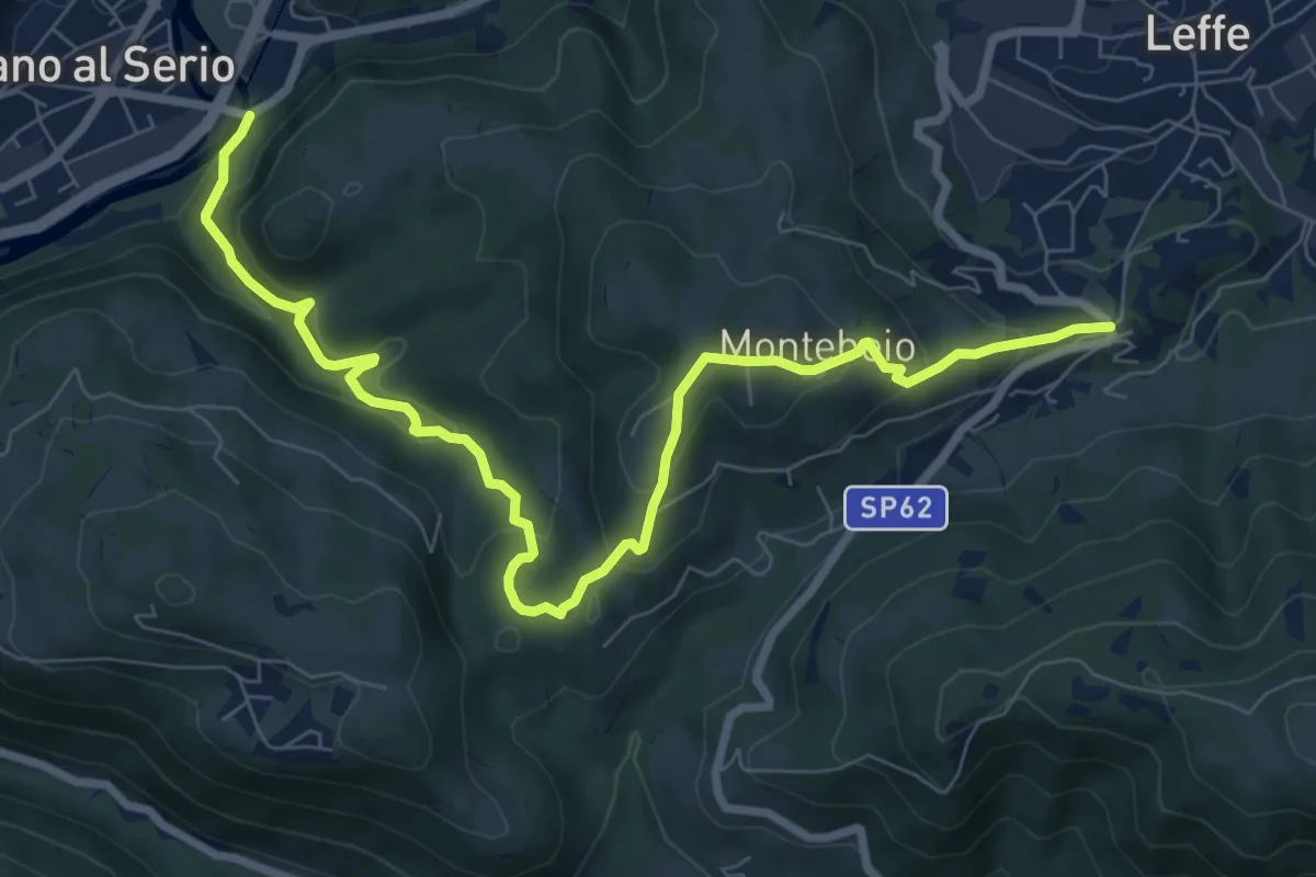
Medium · Trail
Ponte di Valgandino – S. Rocco di Leffe
9.6 km · ↑ 456 m · 3 h 15 min · 13 km away
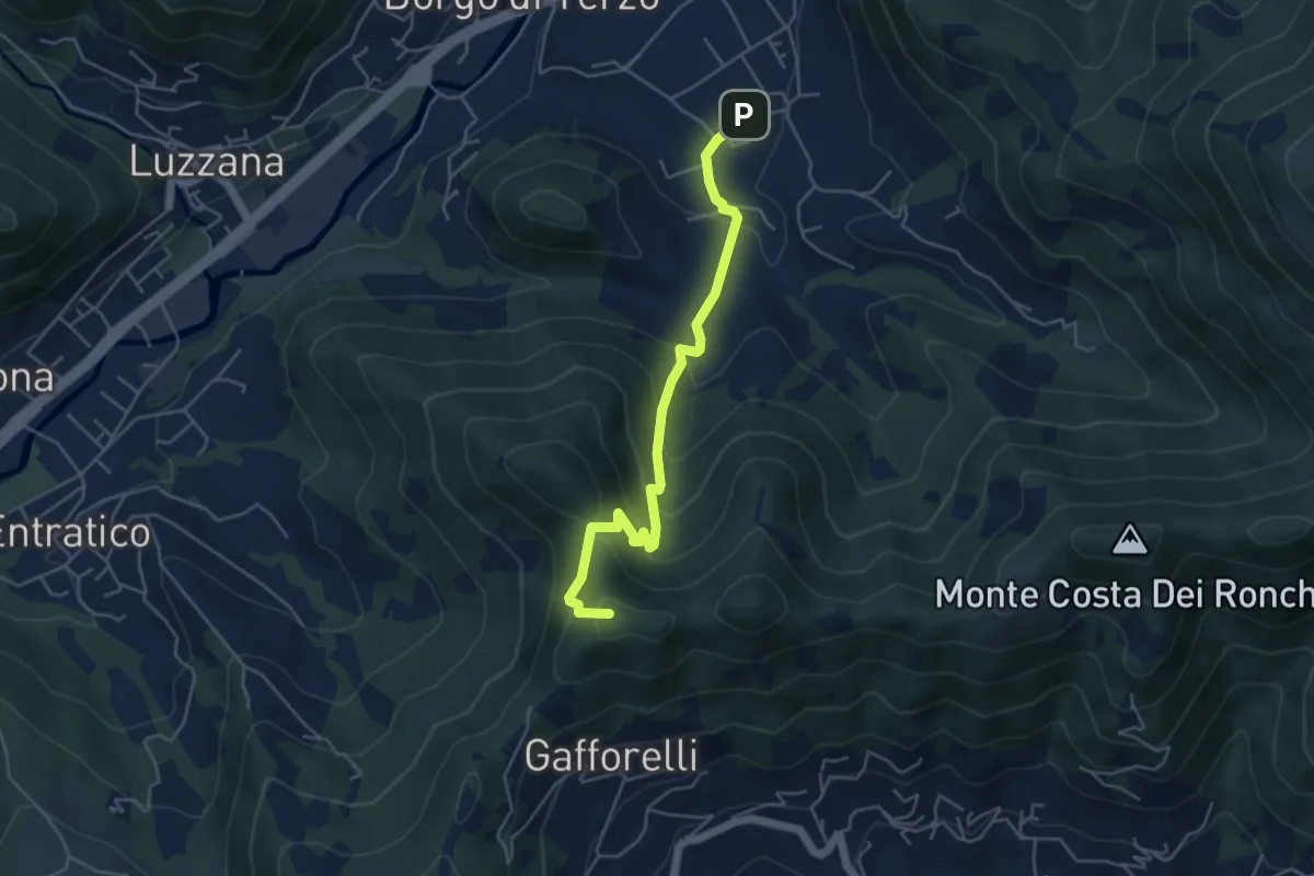
Medium · Summit
Berzo San Fermo – Il Casino
4.8 km · ↑ 328 m · 1 h 51 min · 13 km away
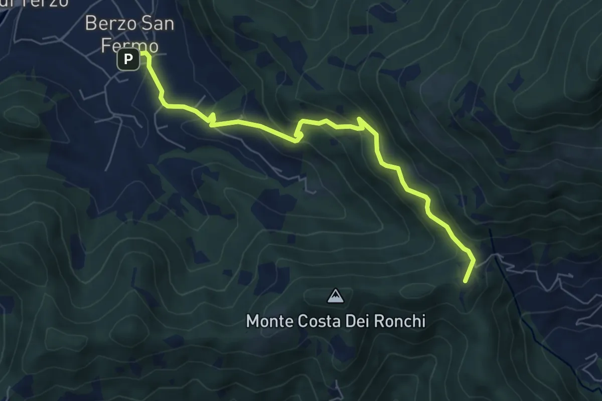
Medium · Summit
Berzo San Fermo – Col Croce
6.6 km · ↑ 444 m · 2 h 31 min · 14 km away
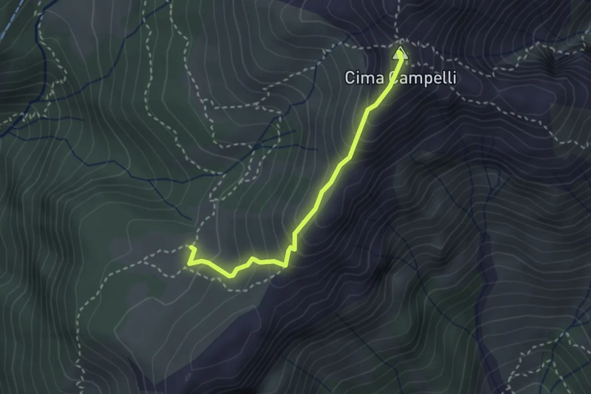
Demanding · Summit
Incrocio 525 – Incrocio 530
2.5 km · ↑ 274 m · 1 h 11 min · 14 km away
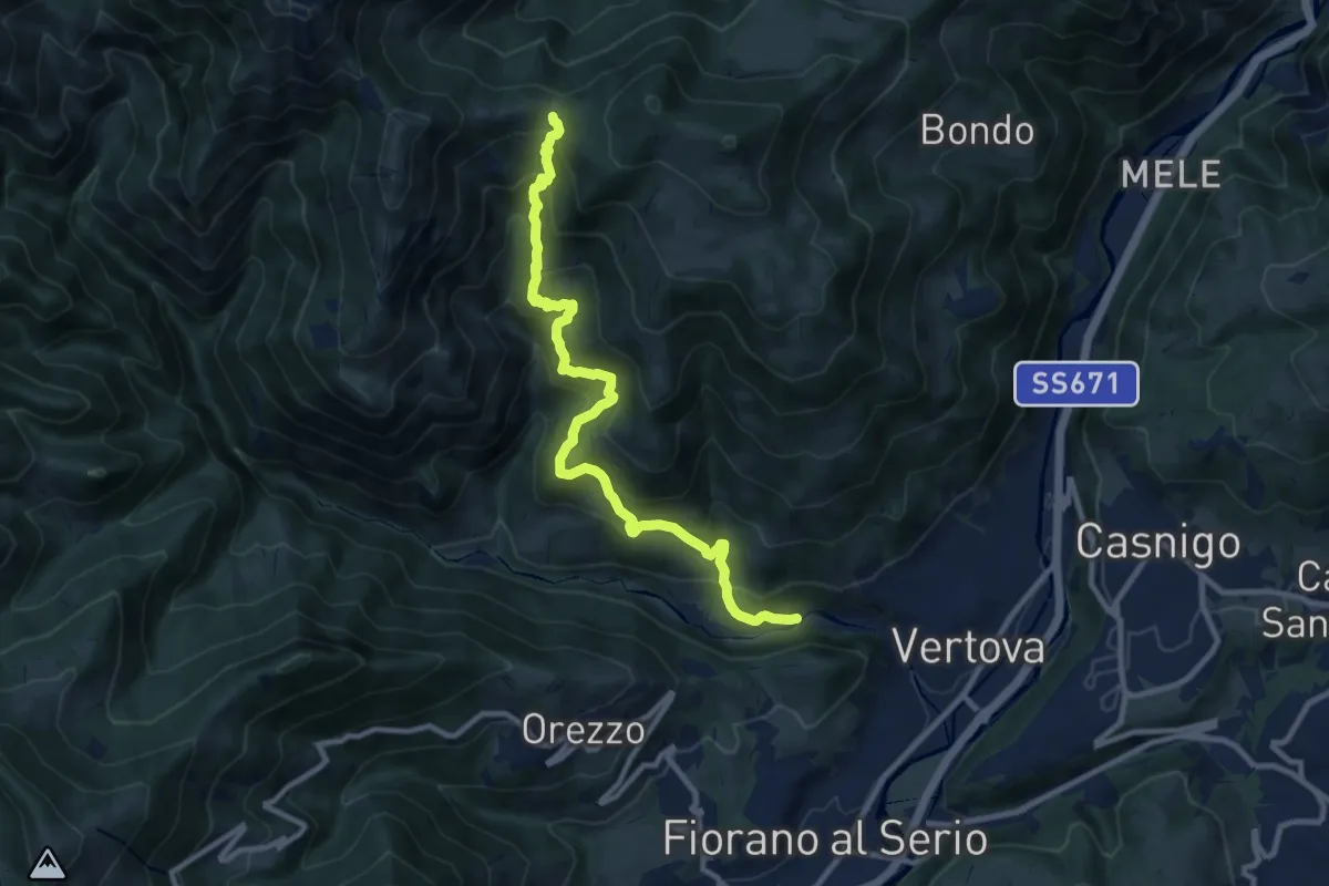
Demanding · Trail
Vertova – Dasla
10.8 km · ↑ 953 m · 4 h 36 min · 14 km away
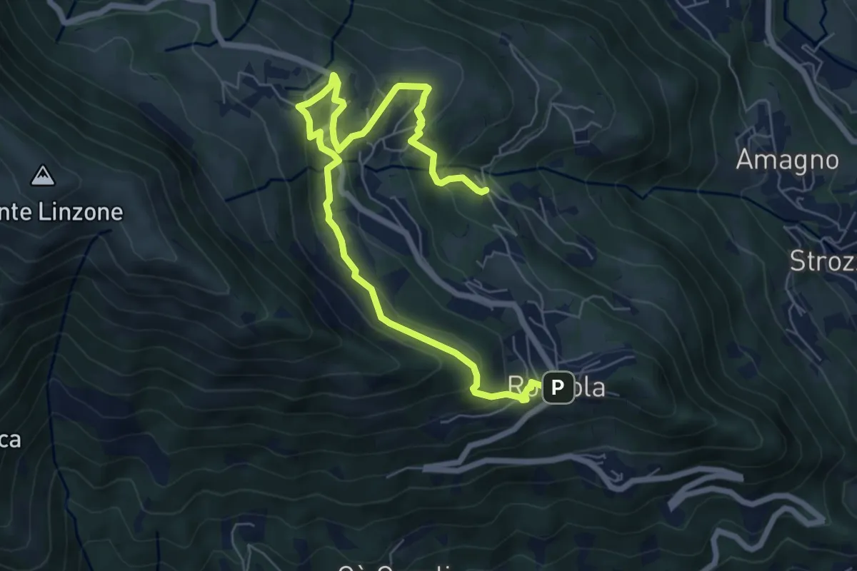
Medium · Trail
Sentiero dell'Acqua
8.4 km · ↑ 438 m · 2 h 56 min · 14 km away
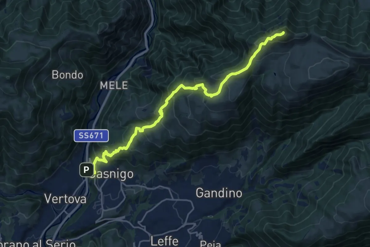
Demanding · Summit
Casnigo (SS. Trinità) – Pizzo Formico
16.7 km · ↑ 1289 m · 6 h 44 min · 14 km away
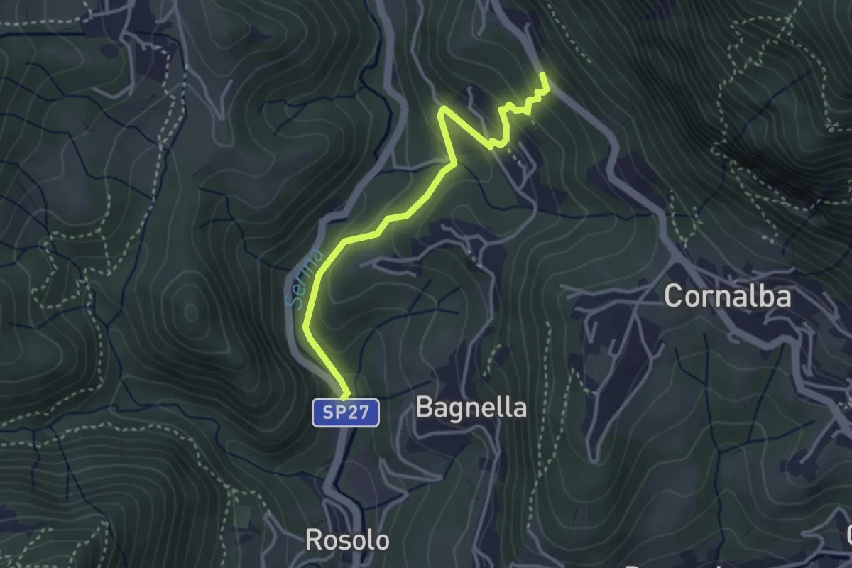
Easy · Trail
Rosolo – San Pantaleone
3.3 km · ↑ 200 m · 1 h 13 min · 14 km away
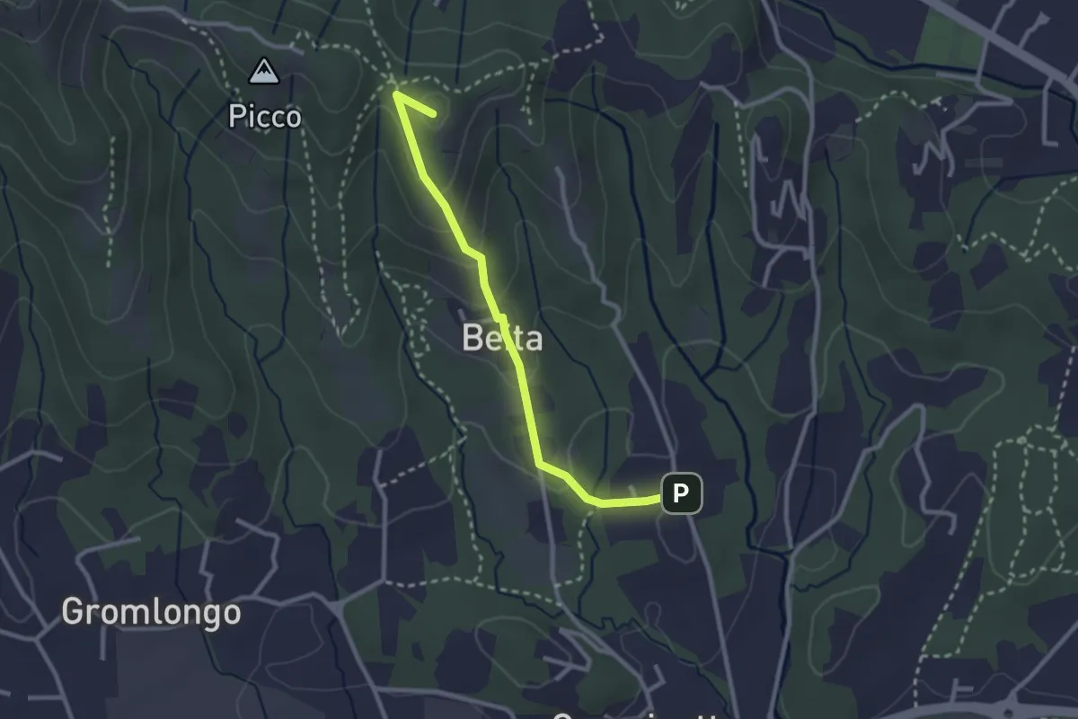
Easy · Summit
Brocchione – Secchia
2.6 km · ↑ 121 m · 53 min · 14 km away
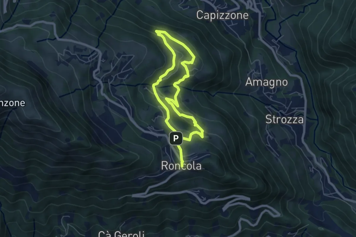
Medium · Trail
Sentiero dei Borghi
9.6 km · ↑ 453 m · 3 h 15 min · 14 km away
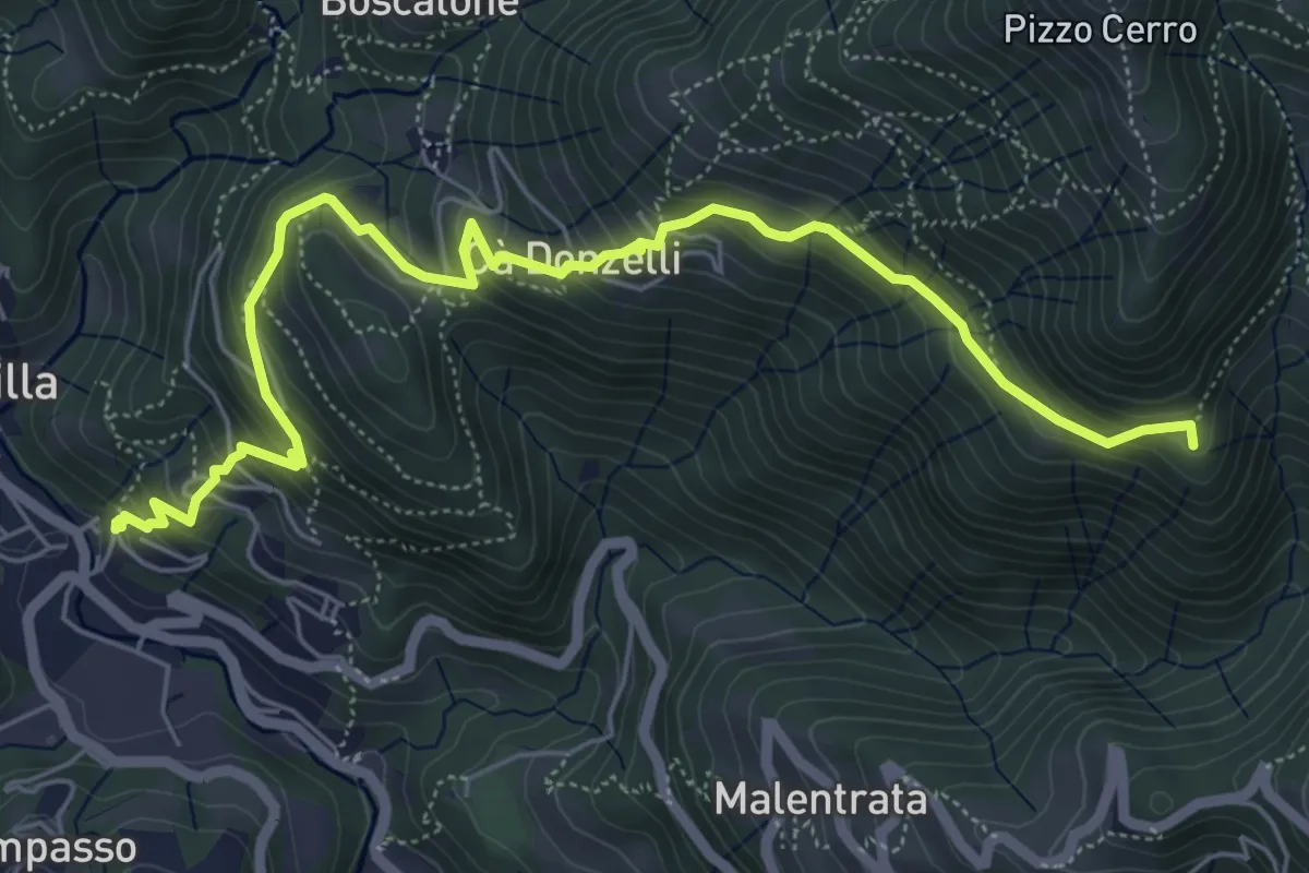
Medium · Summit
Brembilla – Catremerio
7.1 km · ↑ 585 m · 2 h 57 min · 14 km away
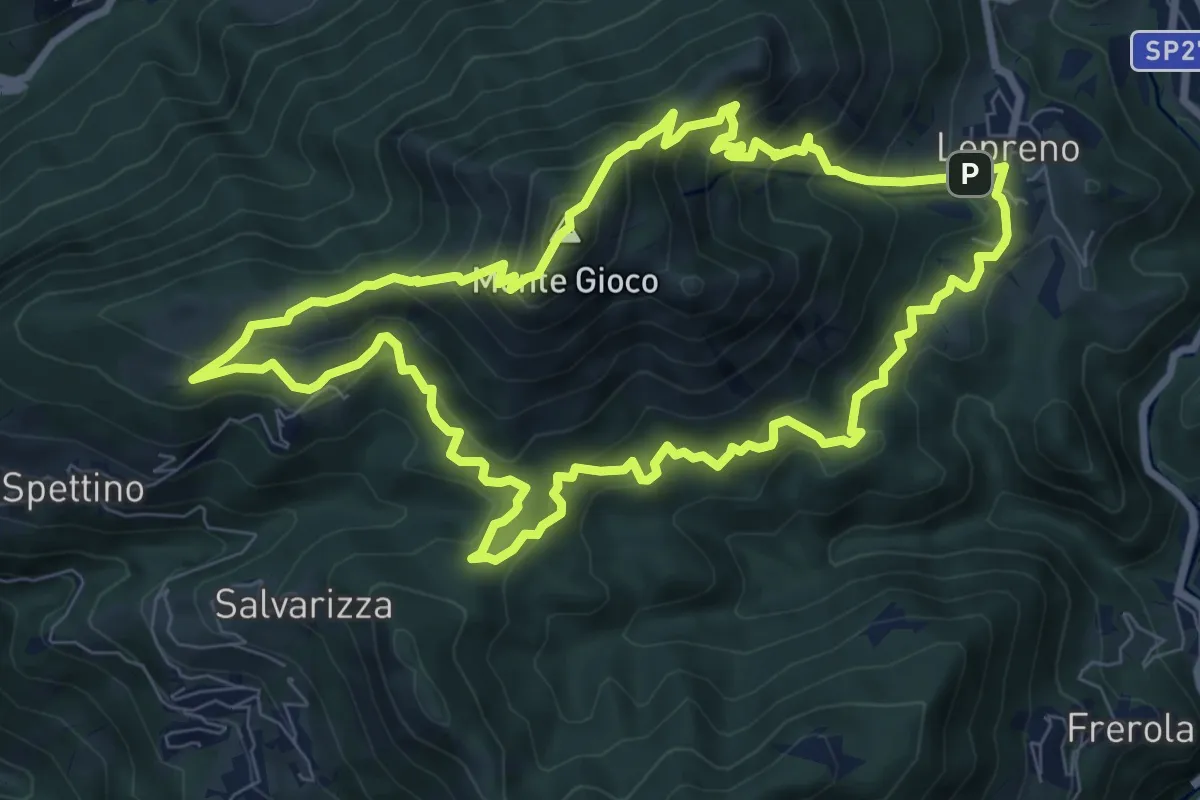
Medium · Summit
Lepreno (Serina) – Lepreno
8.9 km · ↑ 710 m · 3 h 46 min · 14 km away
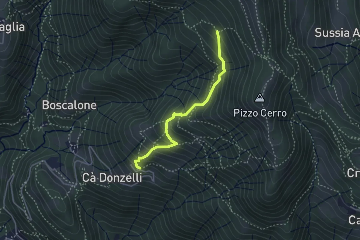
Medium · Trail
Feniletto (Brembilla) – Rifugio Lupi di Brembilla
3.0 km · ↑ 296 m · 1 h 21 min · 14 km away
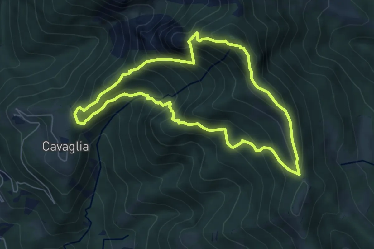
Medium · Summit
Cavaglia (Brembilla) – Cavaglia (Brembilla)
5.5 km · ↑ 600 m · 2 h 40 min · 14 km away
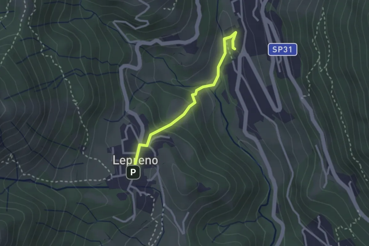
Easy · Trail
Serina – Lepreno
2.3 km · ↑ 124 m · 48 min · 14 km away
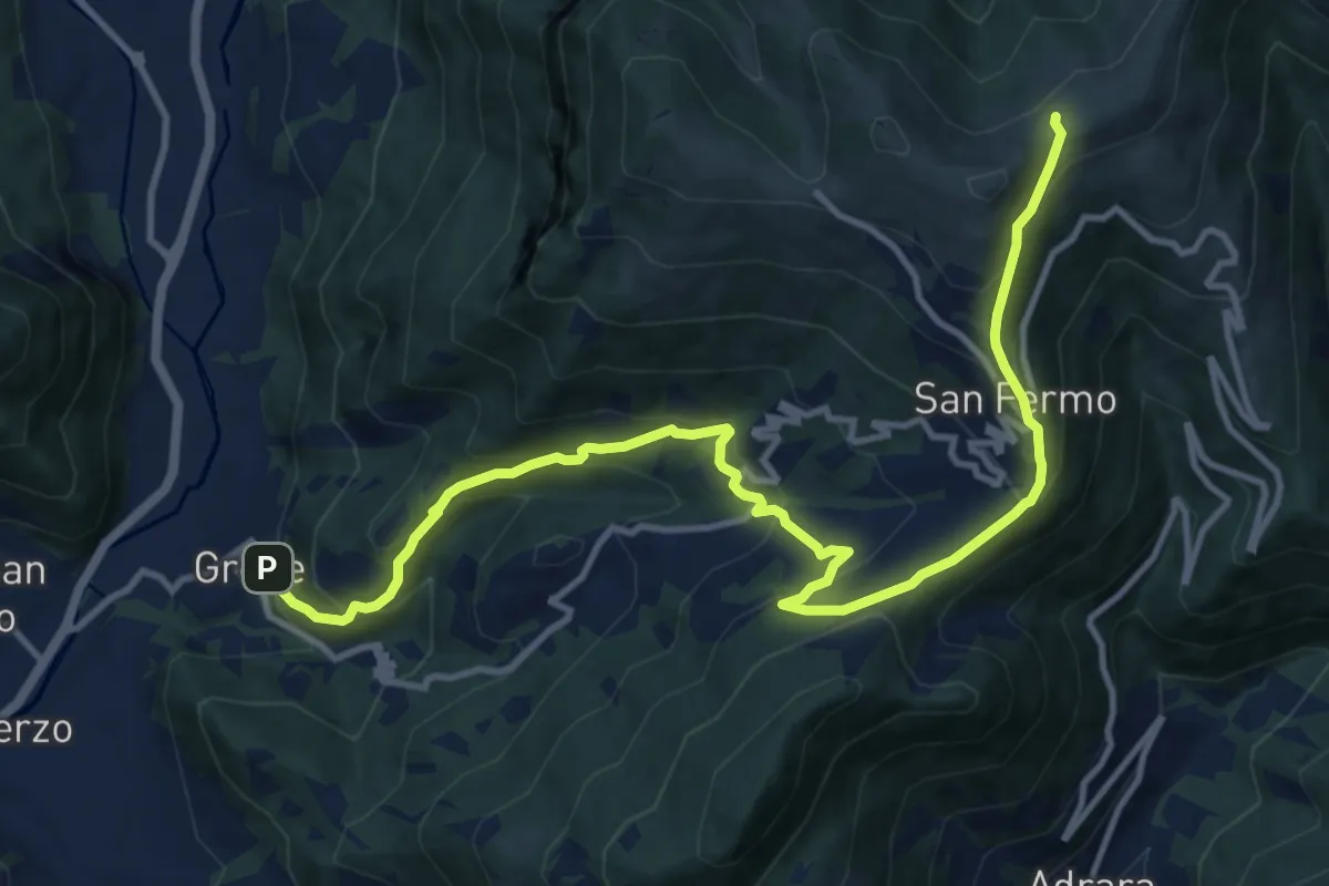
Demanding · Trail
Grone – Foppelle
14.1 km · ↑ 944 m · 5 h 22 min · 14 km away
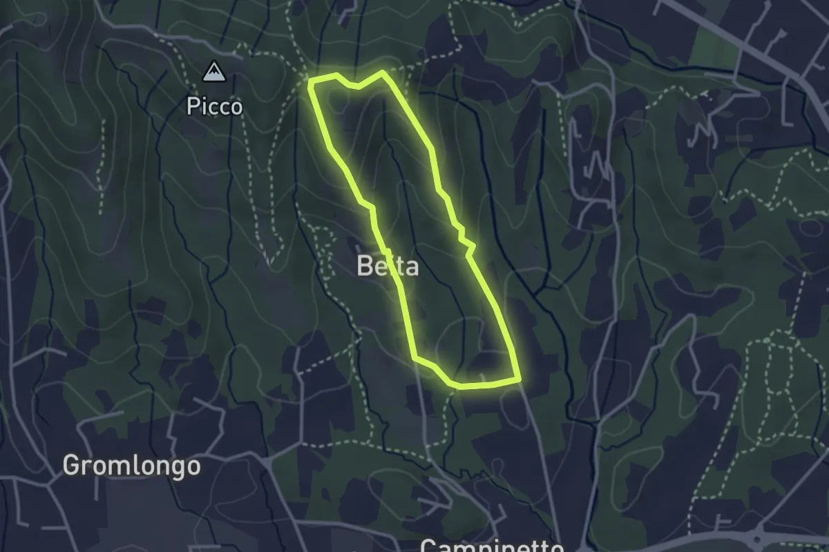
Easy · Summit
Beita - La Vena - Secchia
2.5 km · ↑ 116 m · 53 min · 14 km away
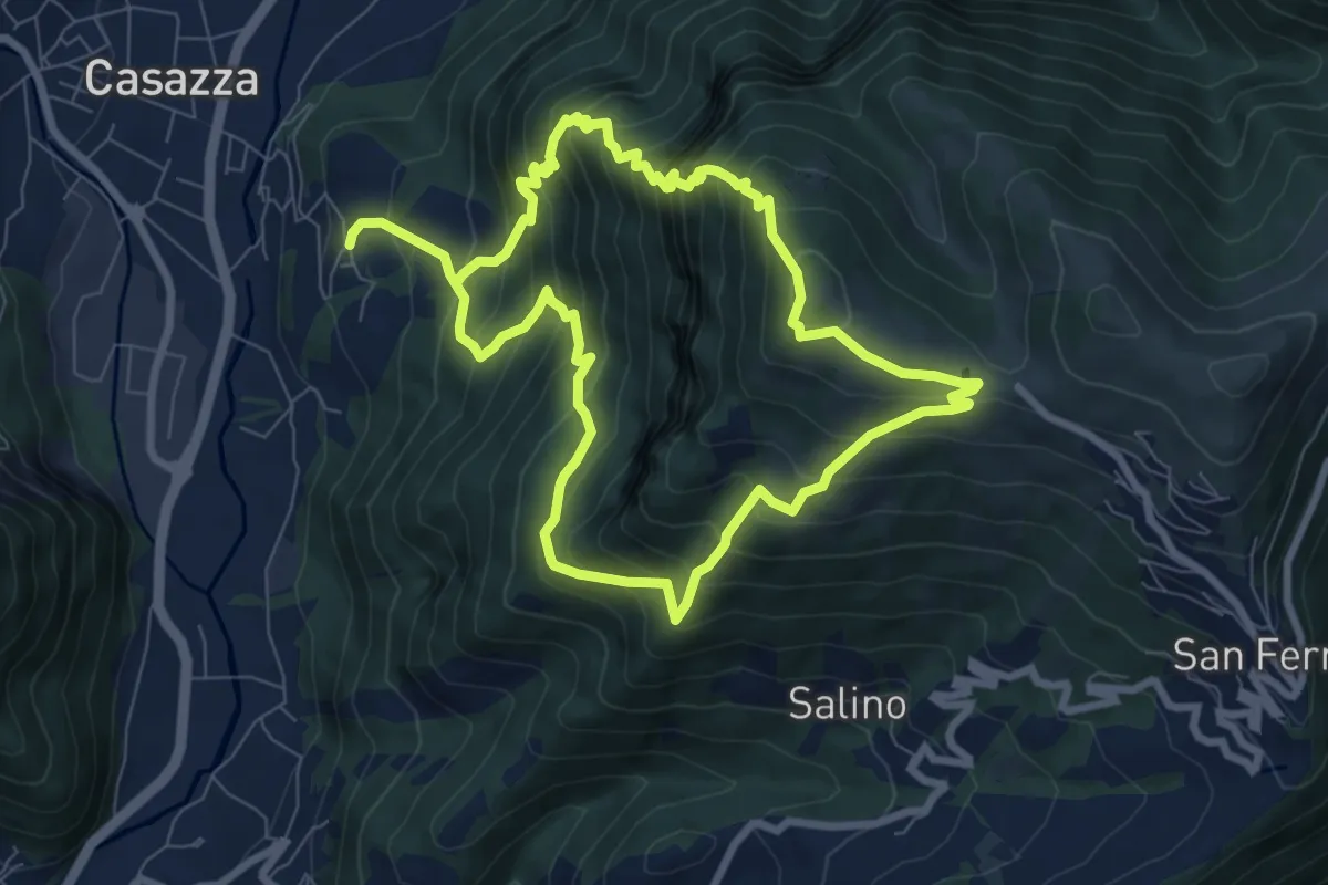
Demanding · Summit
Colognola (Casazza) – Colognola (Casazza)
7.6 km · ↑ 865 m · 3 h 44 min · 14 km away
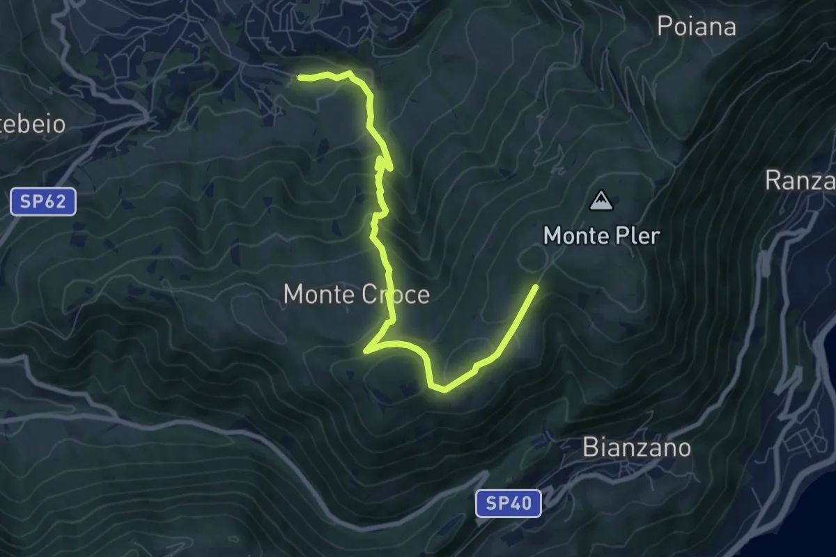
Medium · Trail
Leffe (campo sportivo) – Monte Croce (incrocio 513)
8.0 km · ↑ 567 m · 3 h 7 min · 14 km away