Trails near Amandola
49 hikes starting within 15 km, nearest first.
Nearest first, page 1 of 2
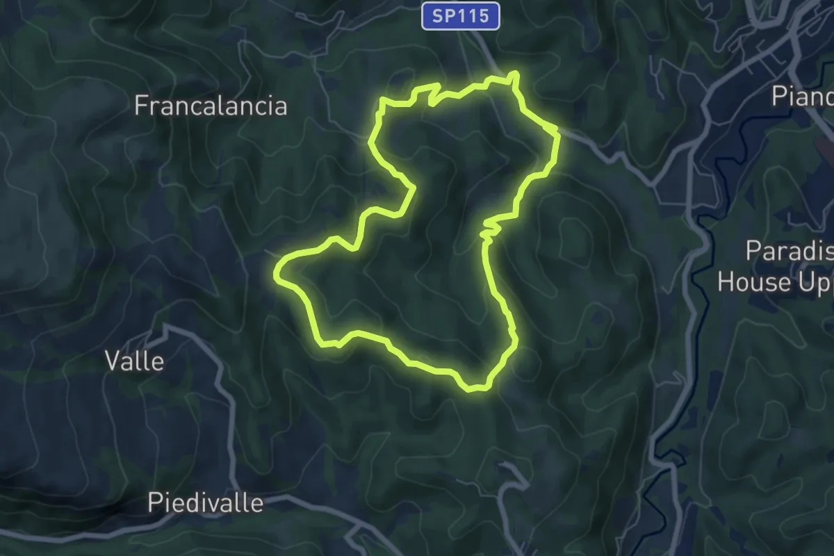
Easy · Trail
Itinerario fuoriporta 2 - Moglietta
6.6 km · ↑ 290 m · 2 h 16 min · 2 km away
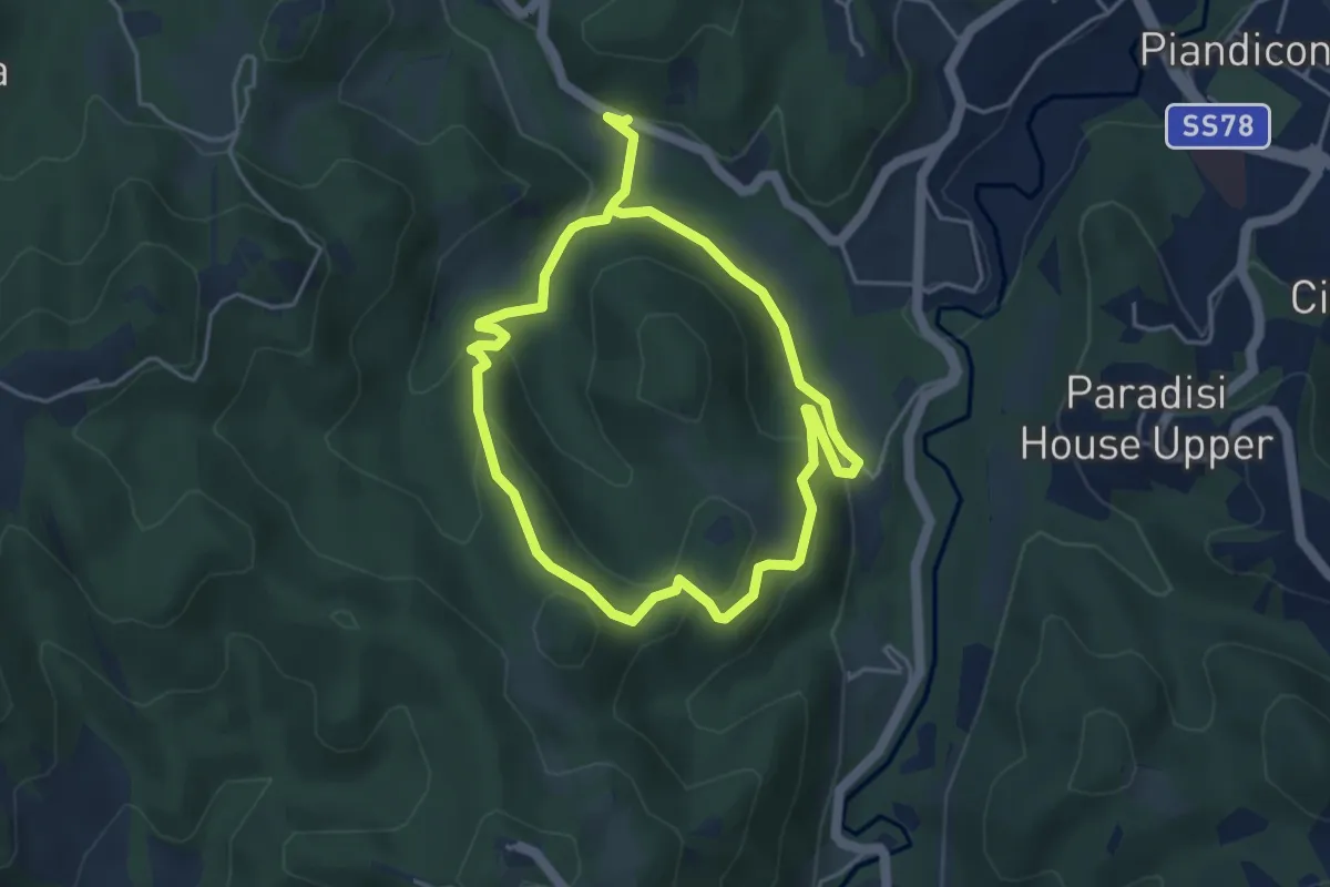
Easy · Trail
Itinerario fuoriporta 1 - Moscosa
4.1 km · ↑ 164 m · 1 h 22 min · 2 km away
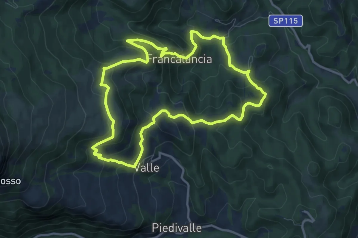
Medium · Summit
Itinerario fuoriporta 4 - Capovalle
8.5 km · ↑ 503 m · 3 h 13 min · 3 km away
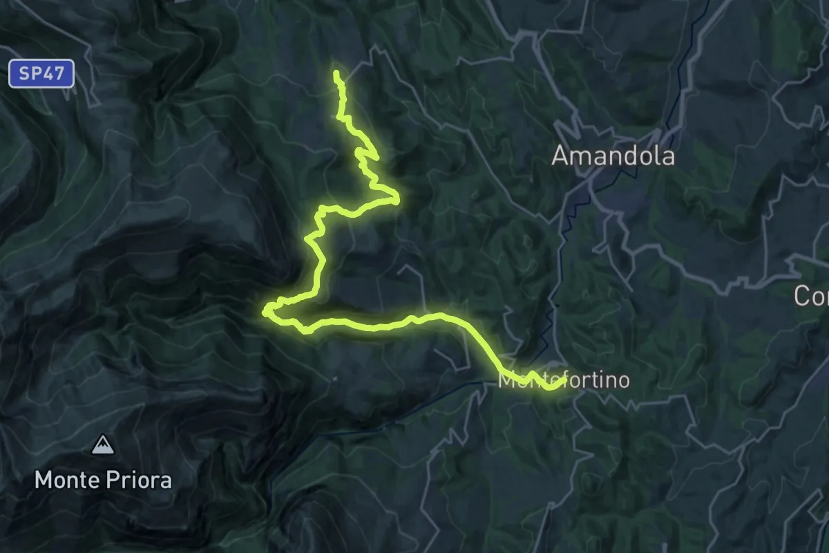
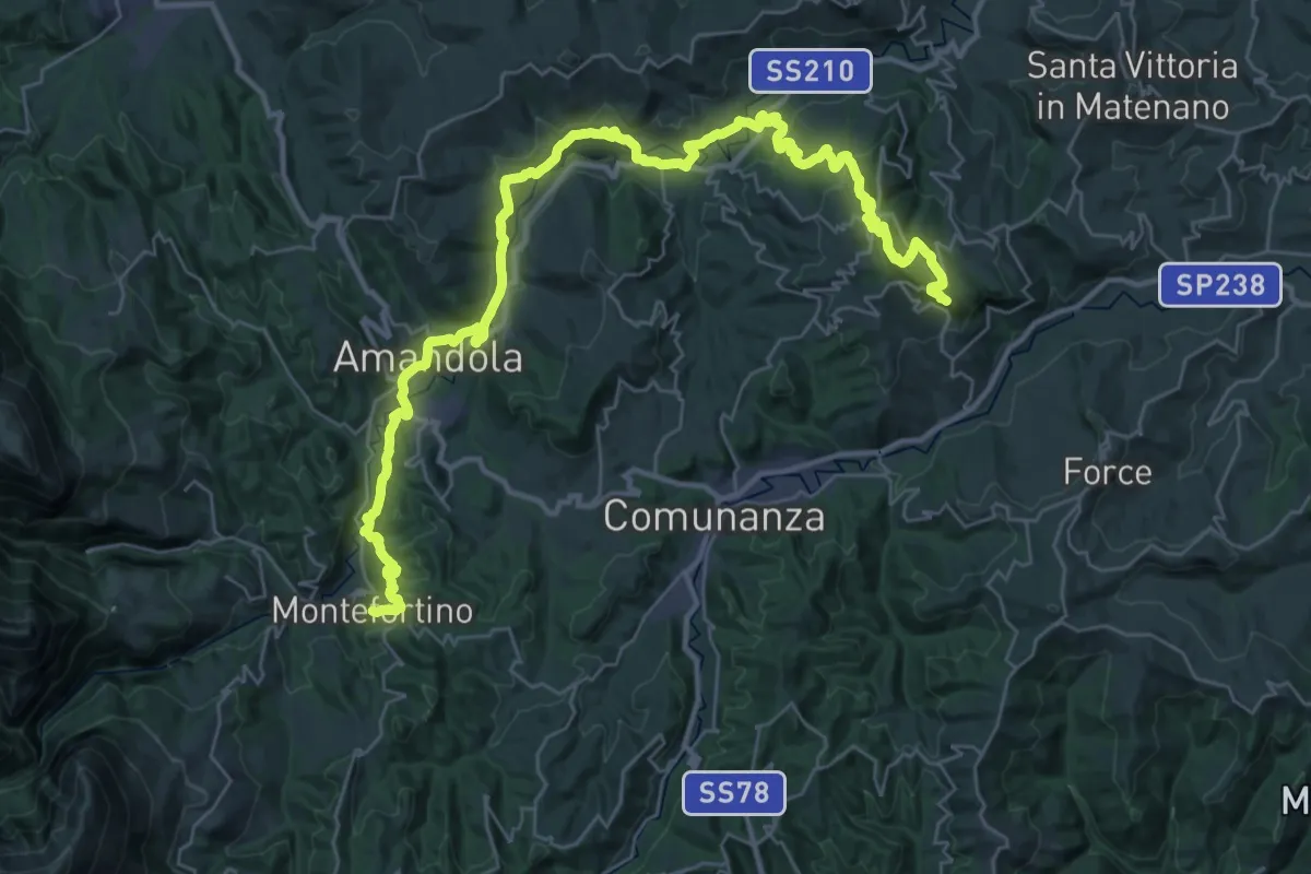
Demanding · Summit
Cammino dei Cappuccini - Tappa 13
30.4 km · ↑ 1551 m · 10 h 33 min · 4 km away
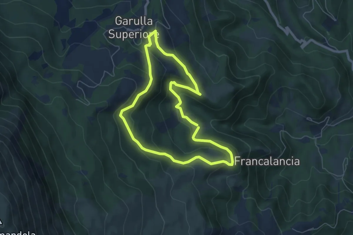
Demanding · Trail
Cammino dei Cappuccini - Tappa 14
23.7 km · ↑ 924 m · 7 h 52 min · 4 km away
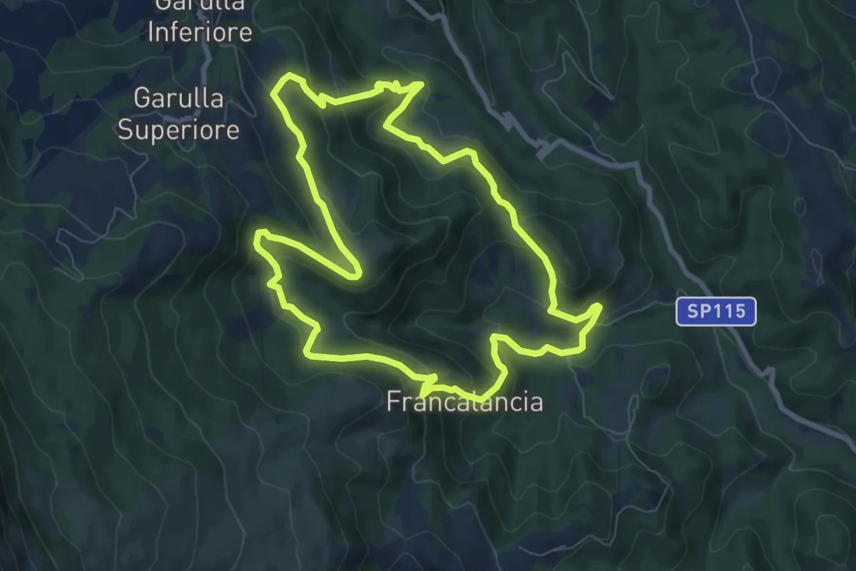
Easy · Trail
Percorso Natura N4
5.6 km · ↑ 260 m · 1 h 58 min · 4 km away
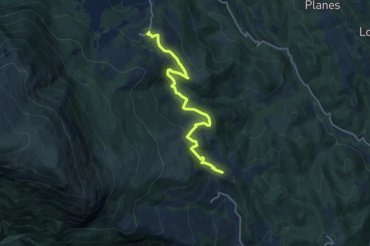
Medium · Trail
Itinerario fuoriporta 3 - Beato Antonio
8.2 km · ↑ 492 m · 3 h 7 min · 4 km away
Medium · Summit
Grande Anello dei Sibillini Tappa 5
9.4 km · ↑ 467 m · 3 h 15 min · 5 km away
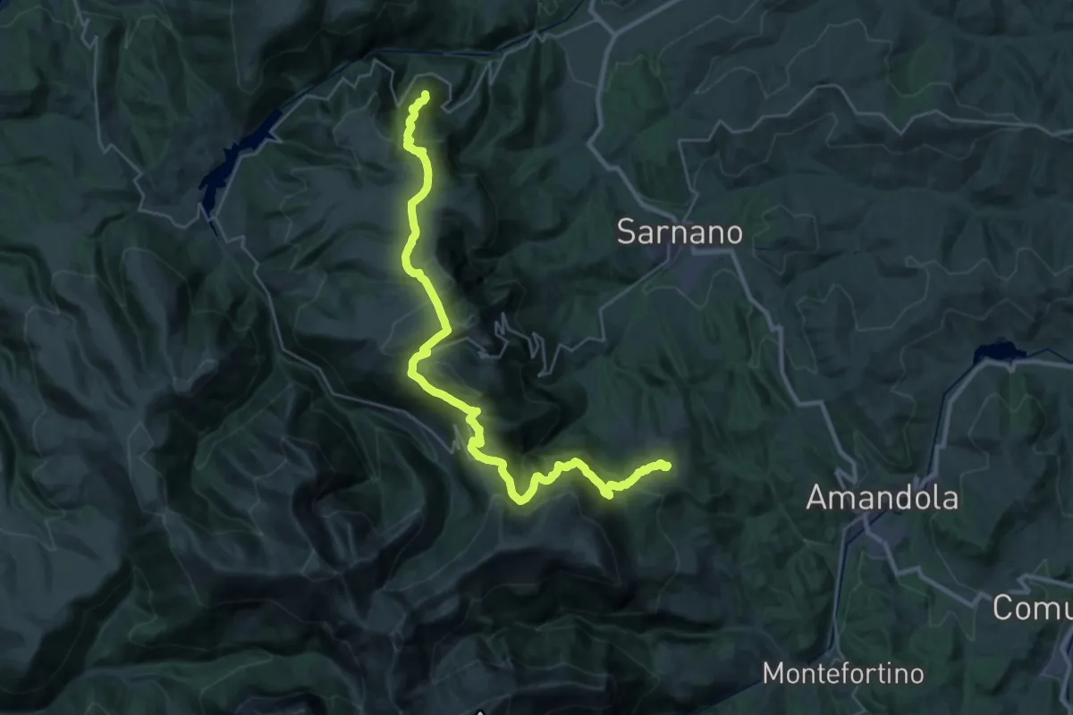
Demanding · Summit
Grande Anello dei Sibillini Tappa 4
36.7 km · ↑ 1753 m · 12 h 27 min · 5 km away
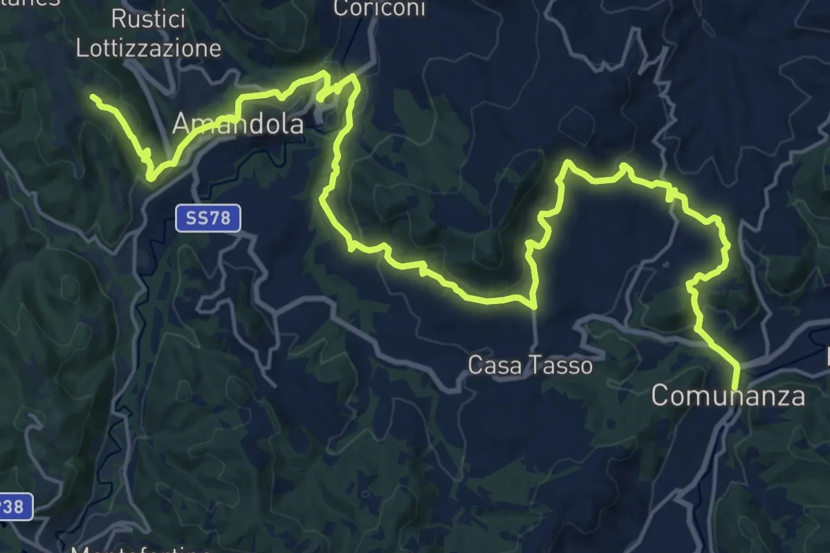
Demanding · Summit
Cammino Francescano della Marca - Tappa 6
28.3 km · ↑ 981 m · 8 h 48 min · 5 km away
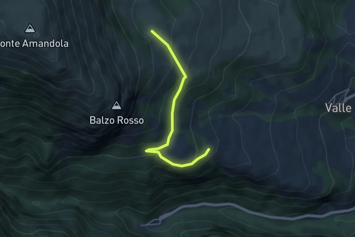
Medium · Cabin
Rifugio Città di Amandola – Bivio Sentiero N226
3.9 km · ↑ 214 m · 1 h 23 min · 6 km away
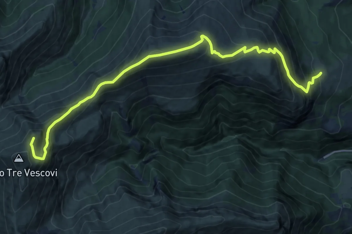
Demanding · Summit
Rifugio Città di Amandola – Sella M.Acuto Pizzo 3 Vescovi
16.8 km · ↑ 1202 m · 6 h 34 min · 6 km away
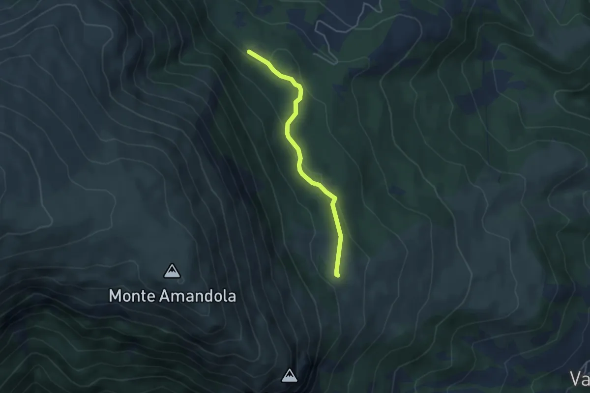
Medium · Cabin
Itinerario fuoriporta 5 - Valle Caprina
3.6 km · ↑ 130 m · 1 h 8 min · 6 km away
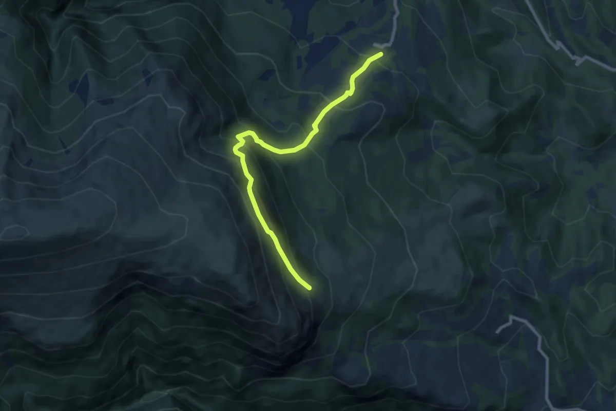
Medium · Trail
Garulla Superiore – Rifugio Città di Amandola
7.7 km · ↑ 759 m · 3 h 28 min · 6 km away
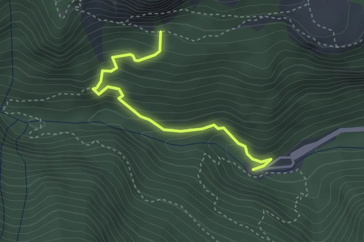
Medium · Trail
Santuario Madonna dell'Ambro – Balzo Rosso incrocio Sentiero N226
3.1 km · ↑ 353 m · 1 h 30 min · 7 km away
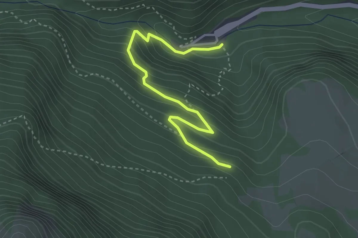
Medium · Trail
Santuario Madonna dell'Ambro – Sentiero N224
3.5 km · ↑ 268 m · 1 h 24 min · 7 km away
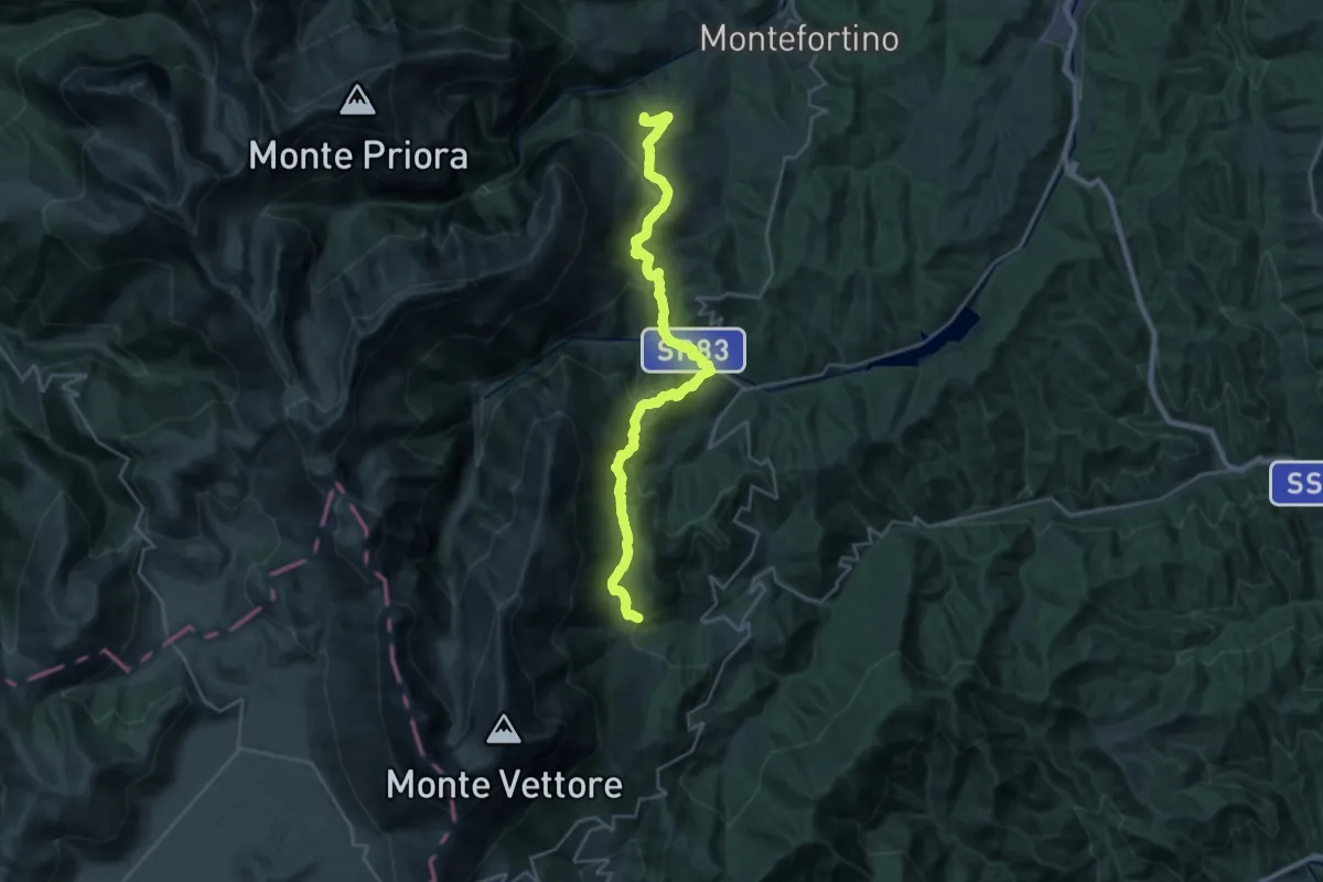
Medium · Cabin
Grande Anello dei Sibillini Tappa 6
13.8 km · ↑ 774 m · 5 h 2 min · 7 km away
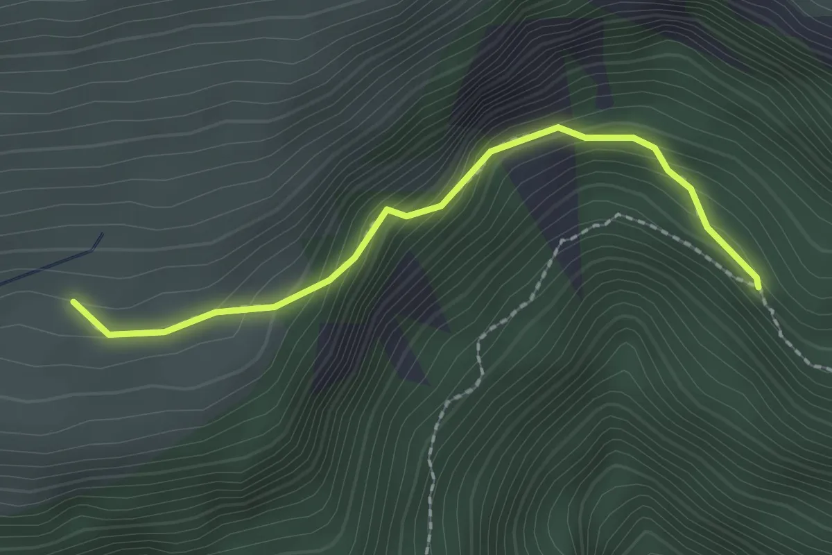
Demanding · Trail
Sentiero N226 – Ara del Re
2.2 km · ↑ 190 m · 56 min · 8 km away
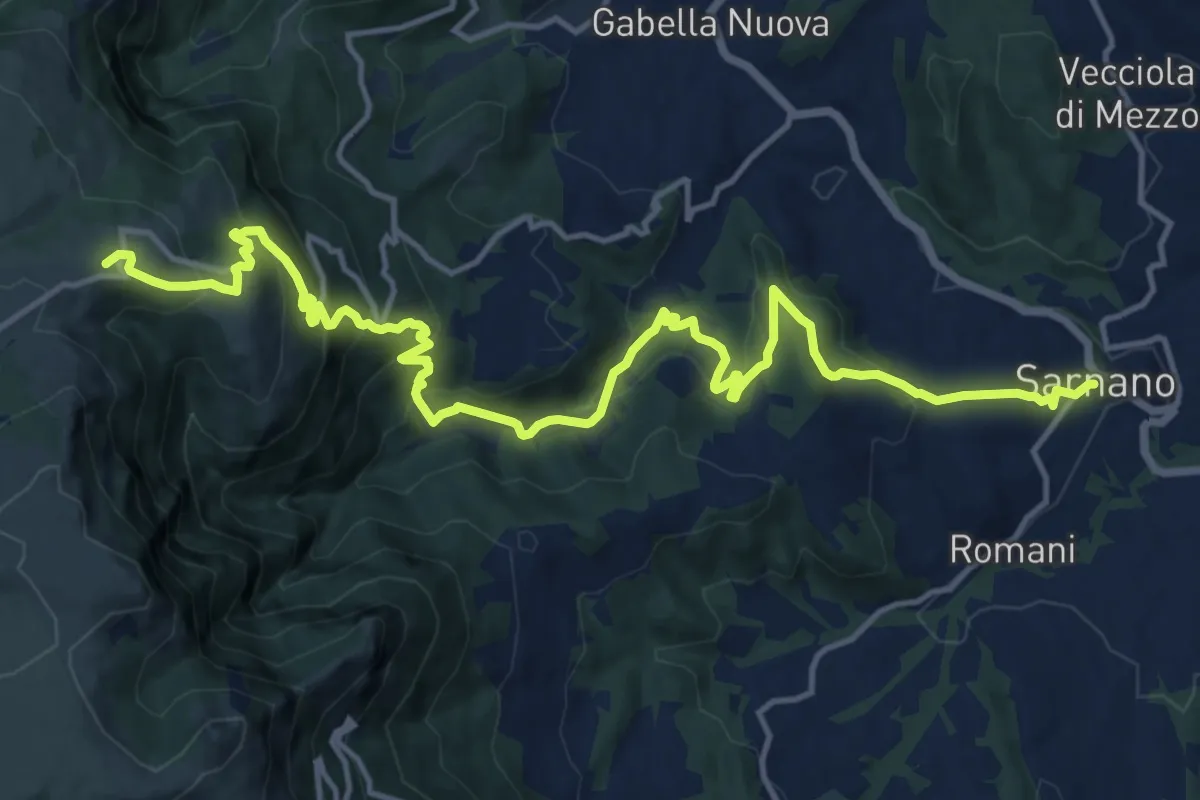
Demanding · Summit
Cammino dei Cappuccini - Tappa 12
19.4 km · ↑ 1083 m · 6 h 55 min · 8 km away
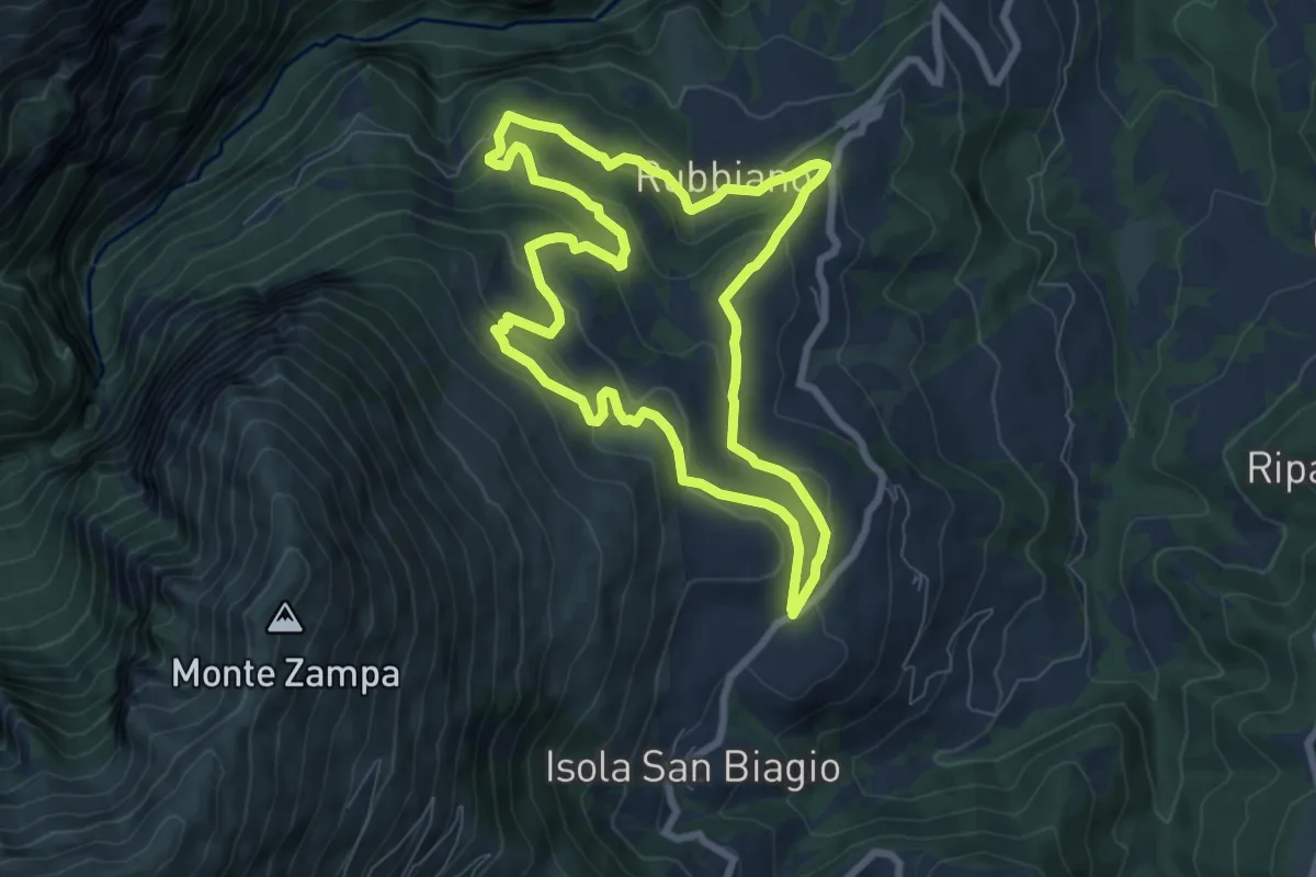
Easy · Trail
Percorso Natura N5
7.8 km · ↑ 314 m · 2 h 38 min · 8 km away
Demanding · Trail
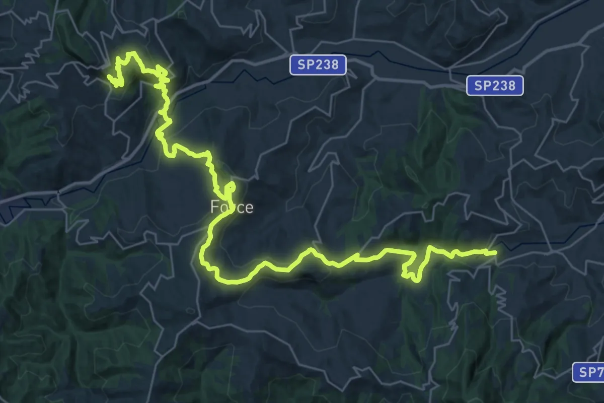
Cammino dei Cappuccini - Tappa 15
19.7 km · ↑ 524 m · 6 h 14 min · 8 km away
Easy · Cabin
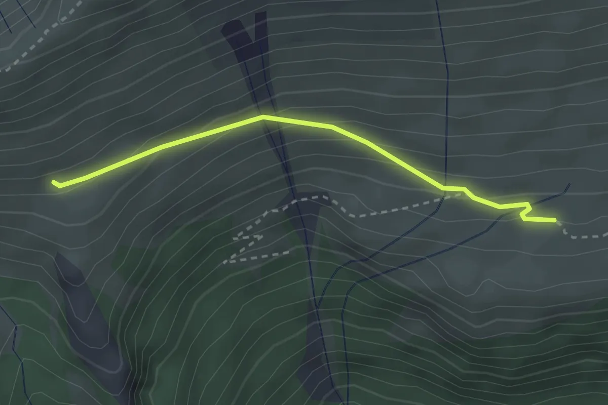
Sentiero N226 – Ara del Re
2.7 km · ↑ 147 m · 58 min · 8 km away
Medium · Trail
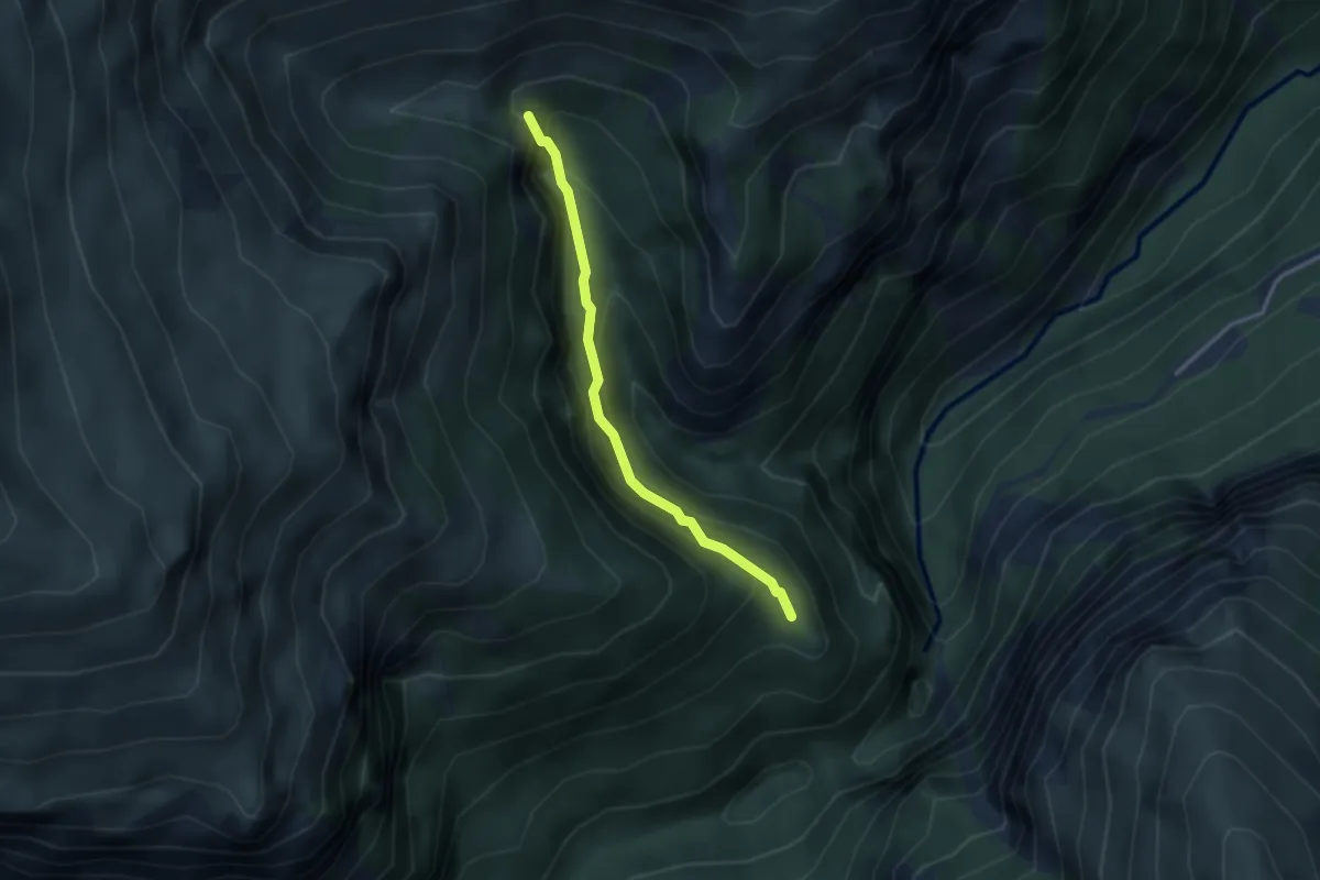
Eremo San Leonardo – Cascata Nascosta
2.8 km · ↑ 278 m · 1 h 16 min · 9 km away
Expert · Summit
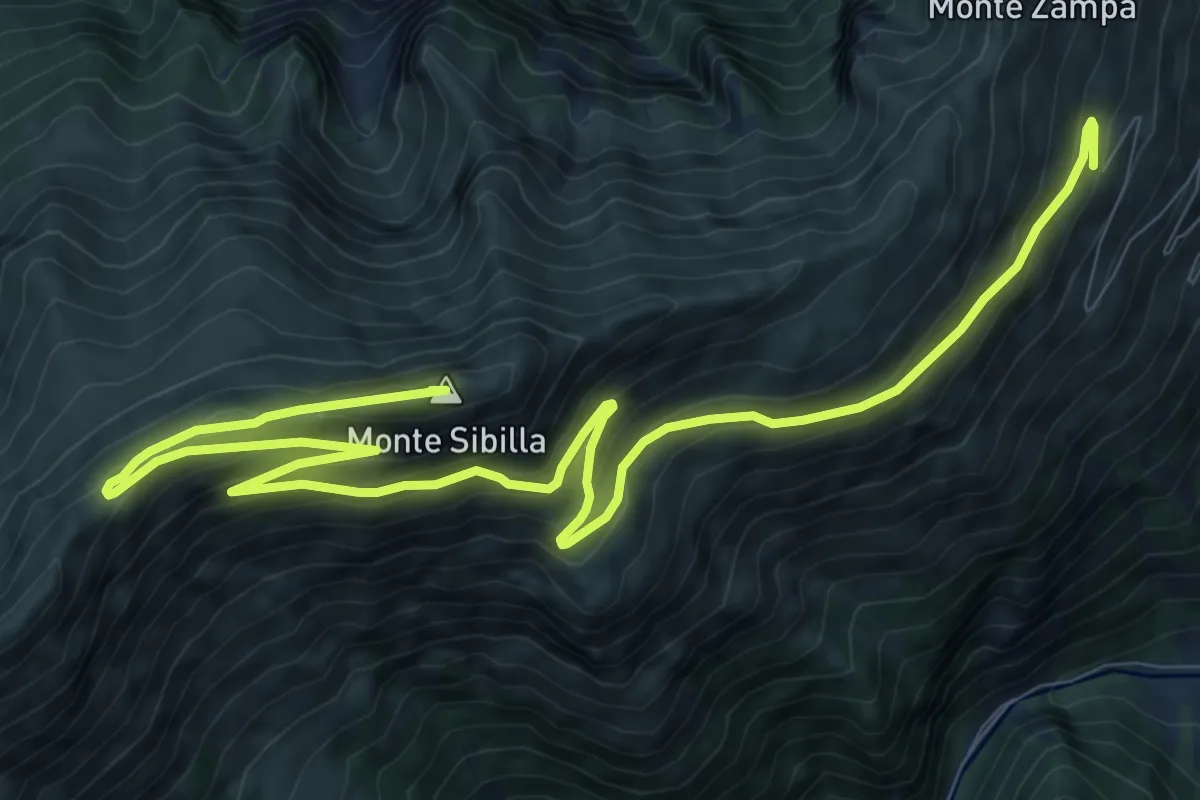
Monte Sibilla – Rifugio Sibilla
15.1 km · ↑ 736 m · 5 h 9 min · 10 km away
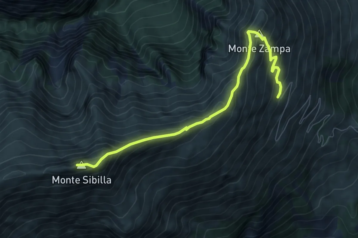
Expert · Summit
Rifugio Sibilla – Monte Sibilla
8.1 km · ↑ 648 m · 3 h 19 min · 10 km away
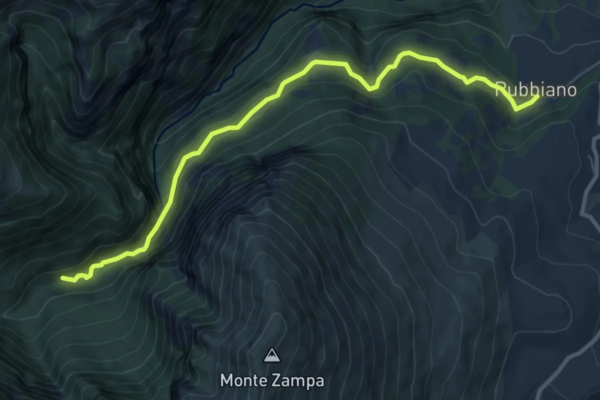
Medium · Trail
Rubbiano – Bivio Sentiero N229
8.4 km · ↑ 466 m · 2 h 59 min · 10 km away
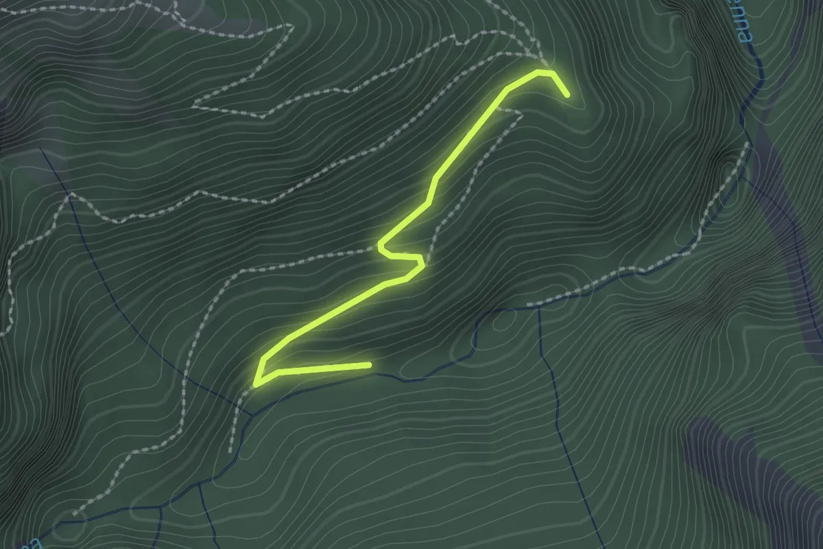
Medium · Trail
Sentiero N221 (BIVIO TORRENTE TENNA) – Eremo di San Leonardo
2.2 km · ↑ 168 m · 53 min · 10 km away
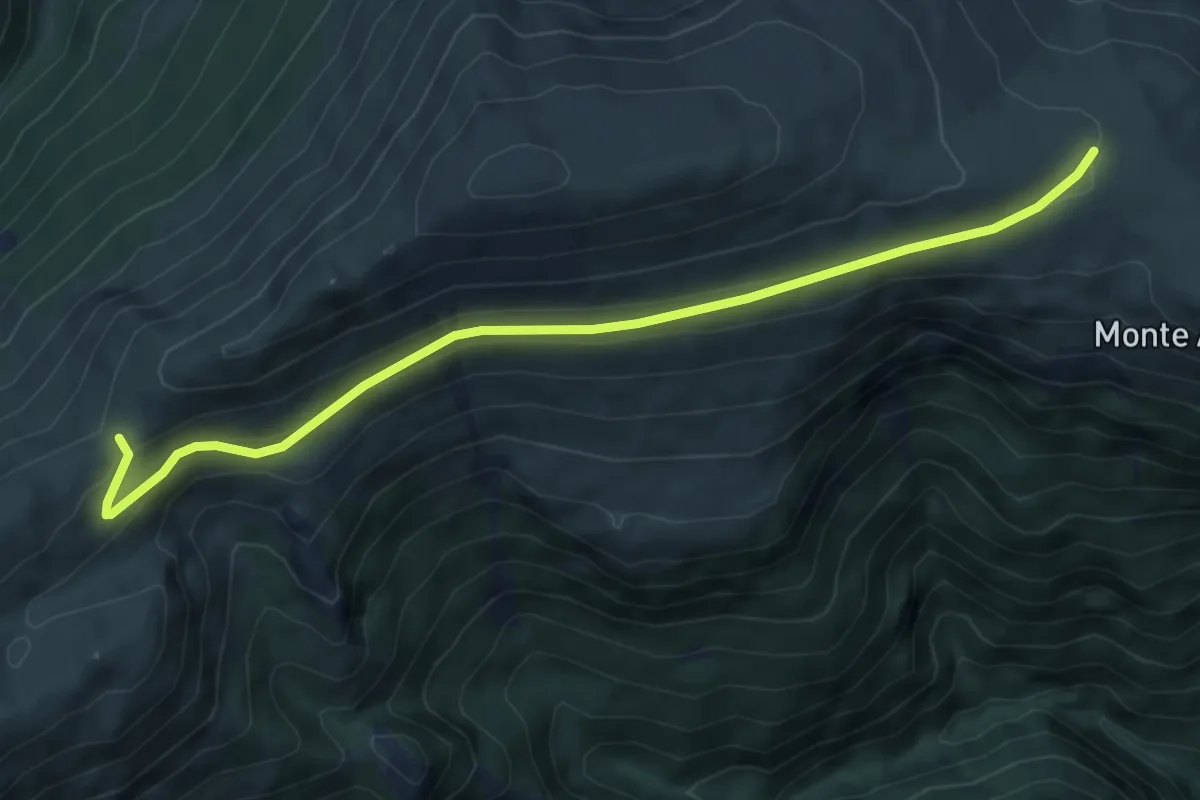
Medium · Trail
Casaletto Grascette – Forcella Bassete
7.0 km · ↑ 210 m · 2 h 6 min · 10 km away
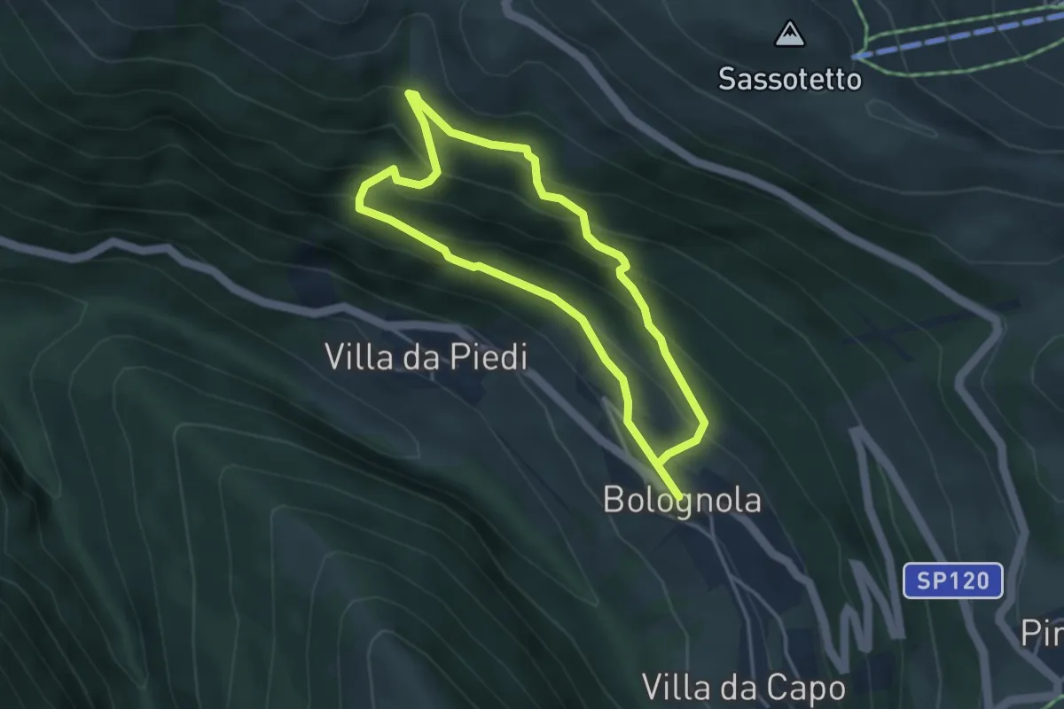
Easy · Trail
Percorso Natura N14
3.4 km · ↑ 284 m · 1 h 28 min · 11 km away
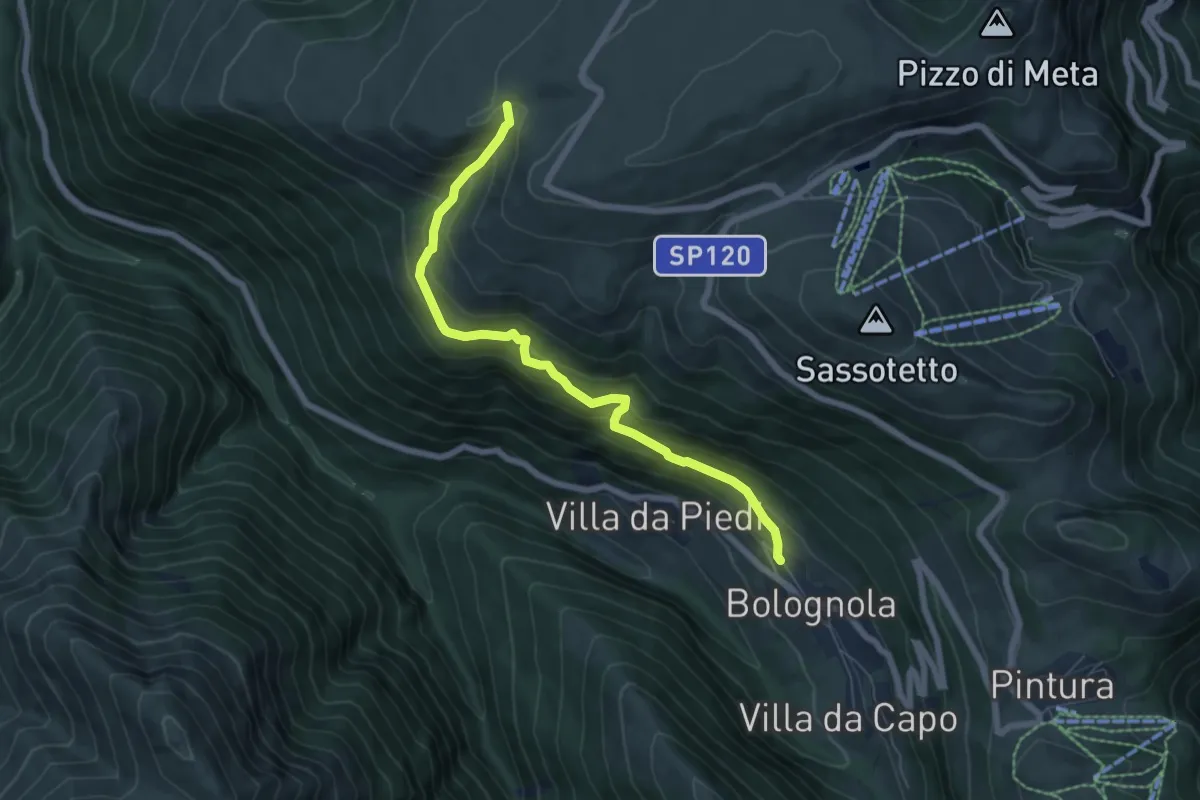
Medium · Trail
Villa di Mezzo – Colle Ripe
6.9 km · ↑ 528 m · 2 h 46 min · 11 km away
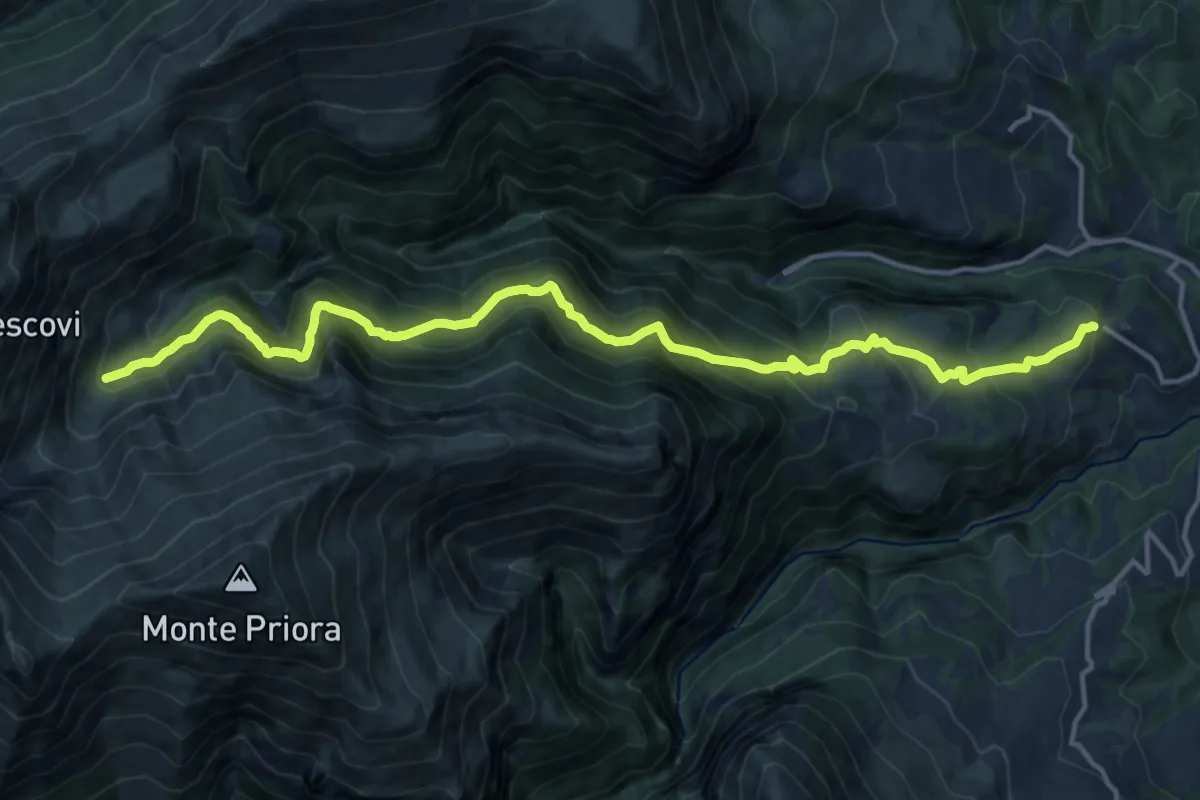
Demanding · Trail
Vetice – intersezione 226 e 227 (a valle di Casale Rinaldi)
17.3 km · ↑ 1068 m · 6 h 24 min · 11 km away
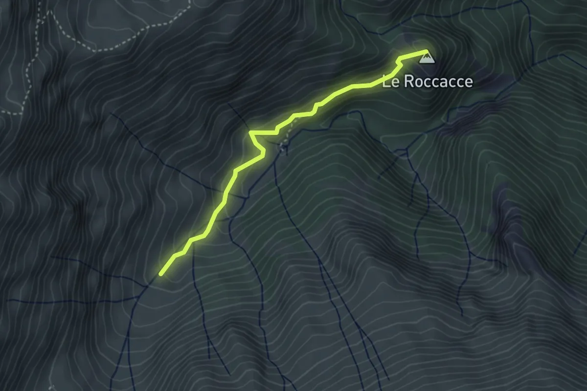
Easy · Summit
Sentiero N228 – Bivio Sentiero N227-N224
3.6 km · ↑ 262 m · 1 h 25 min · 11 km away
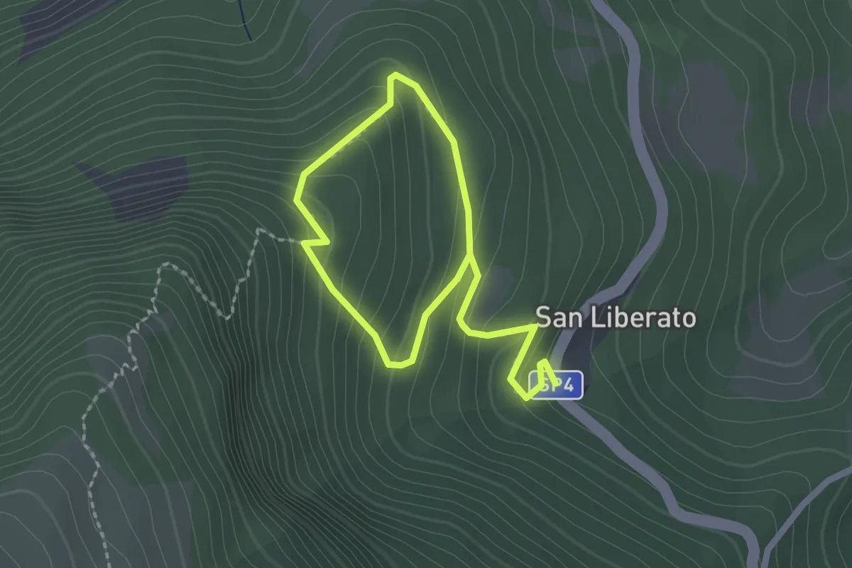
Easy · Trail
Sentiero Natura N15
1.6 km · ↑ 131 m · 40 min · 12 km away
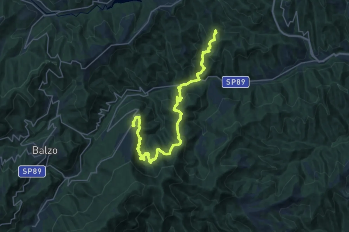
Medium · Trail
Grande Anello dei Borghi Ascolani - Tappa 3
10.8 km · ↑ 758 m · 4 h 15 min · 12 km away
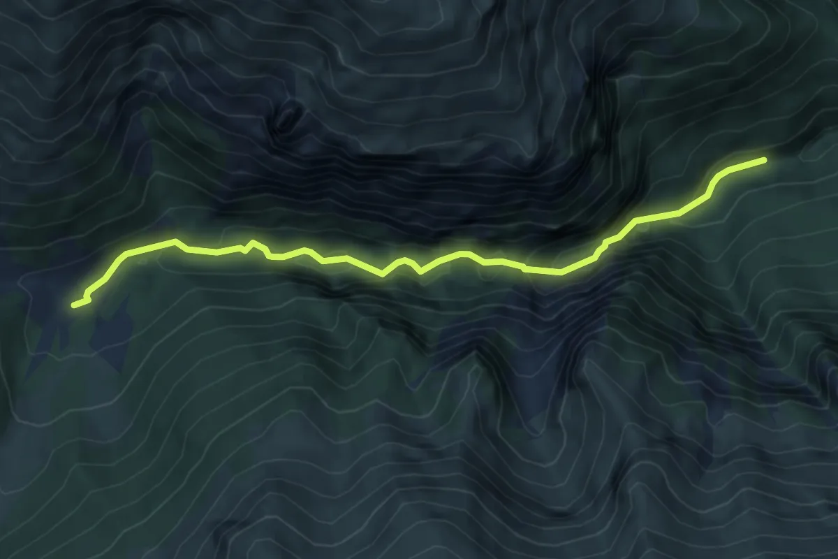
Medium · Trail
Bivio Sentiero N229 – Capotenna
6.5 km · ↑ 647 m · 2 h 56 min · 12 km away
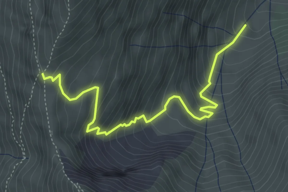
Medium · Trail
Forcella Angagnola – Sentiero N224-N226
5.3 km · ↑ 537 m · 2 h 25 min · 12 km away
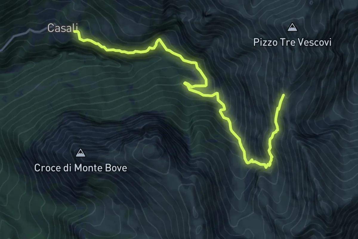
Demanding · Cabin
Casali – Forcella Angagnola
12.7 km · ↑ 1017 m · 5 h 13 min · 12 km away
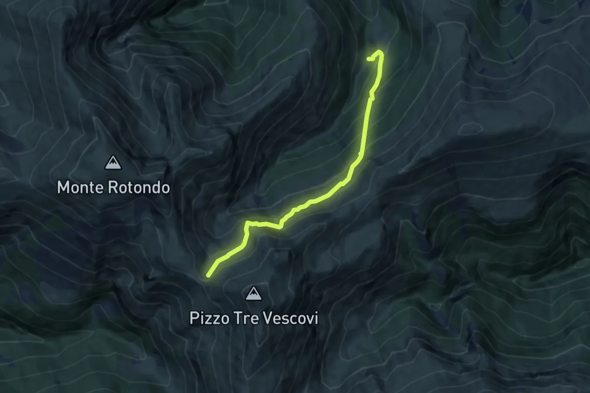
Medium · Trail
Strada del Fargno
8.3 km · ↑ 789 m · 3 h 41 min · 12 km away
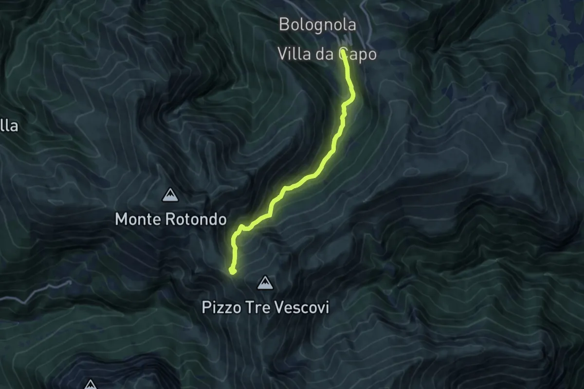
Demanding · Trail
Area Pic-Nic Bolognola – Forcella del Fargno
10.6 km · ↑ 754 m · 4 h 9 min · 12 km away
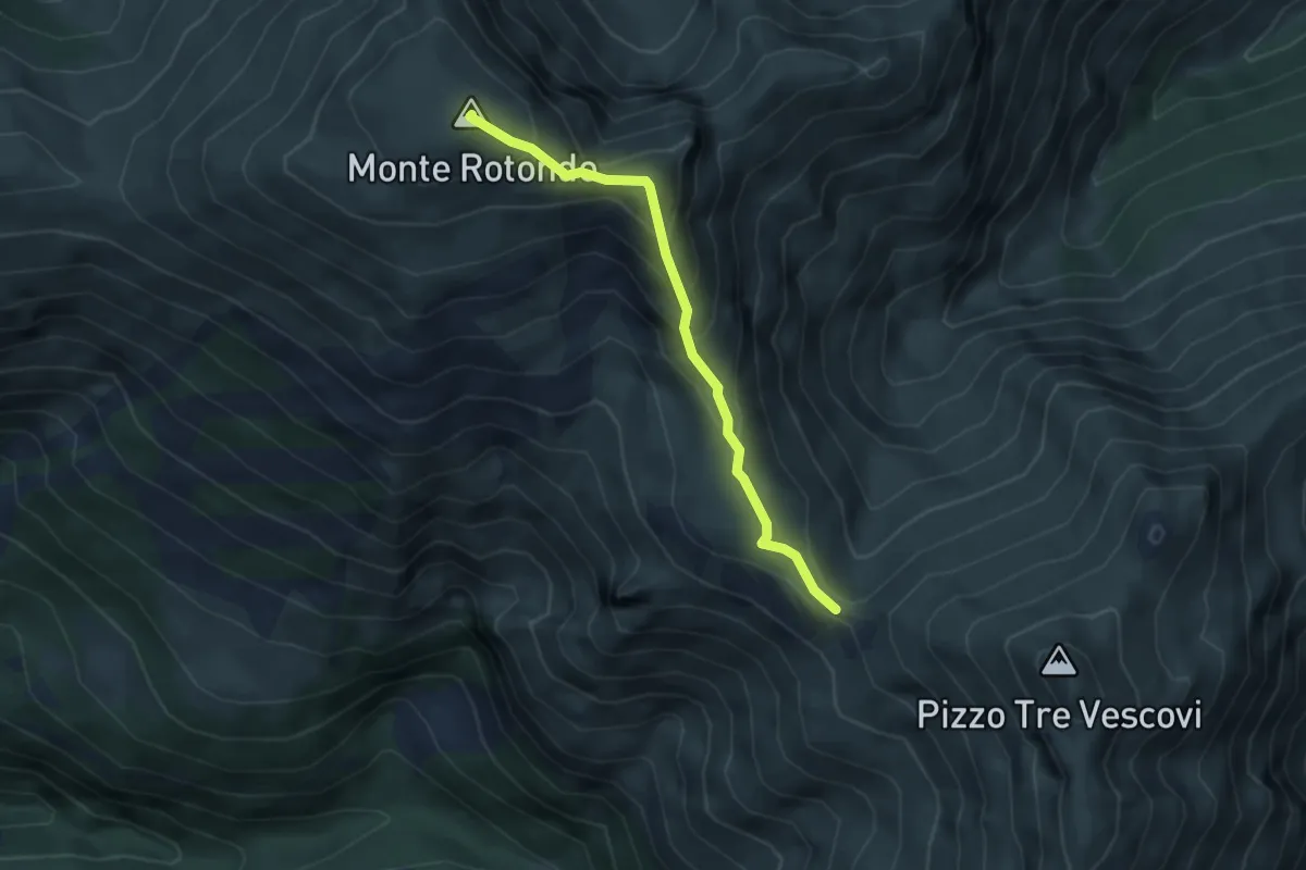
Demanding · Summit
Forcella del Fargno – Monte Rotondo
4.0 km · ↑ 317 m · 1 h 39 min · 12 km away
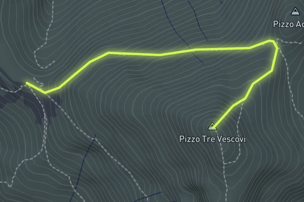
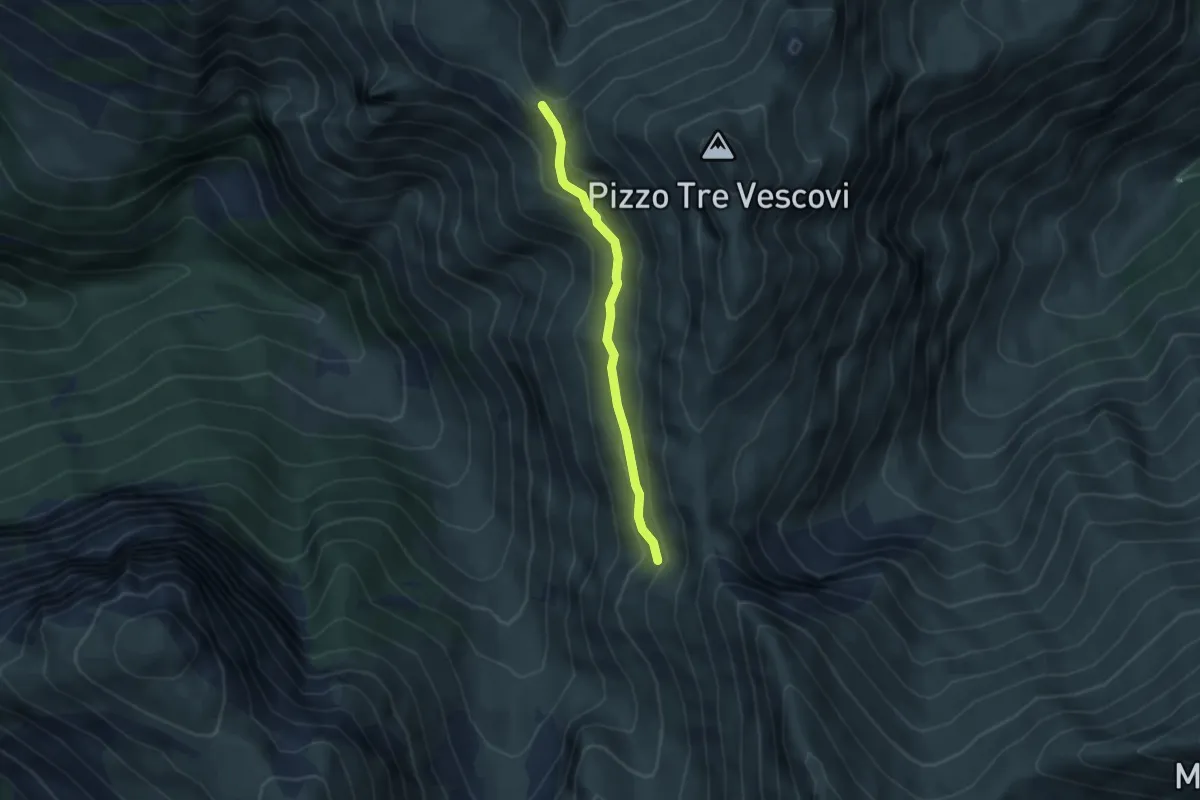
Demanding · Summit
Rifugio del Fargno – Pizzo Tre Vescovi
2.6 km · ↑ 262 m · 1 h 11 min · 12 km away
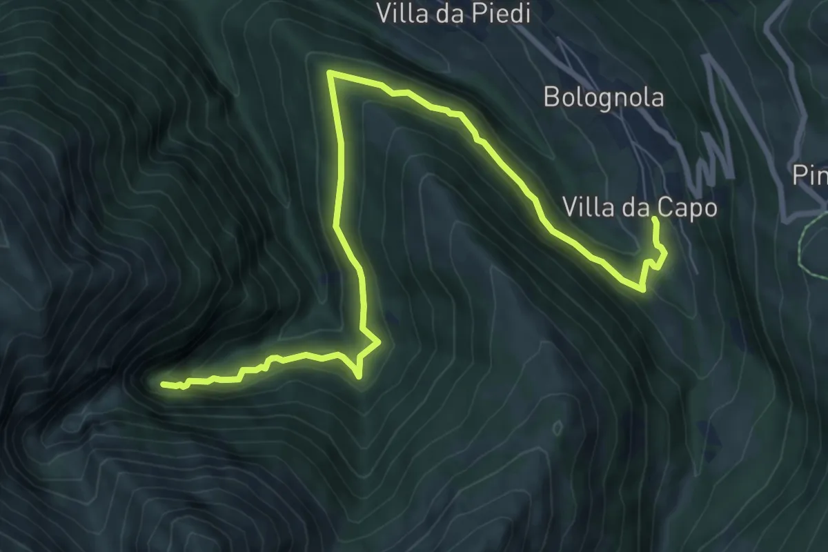
Medium · Cabin
Rifugio del Fargno – Fonte Angagnola
3.6 km · ↑ 149 m · 1 h 11 min · 13 km away
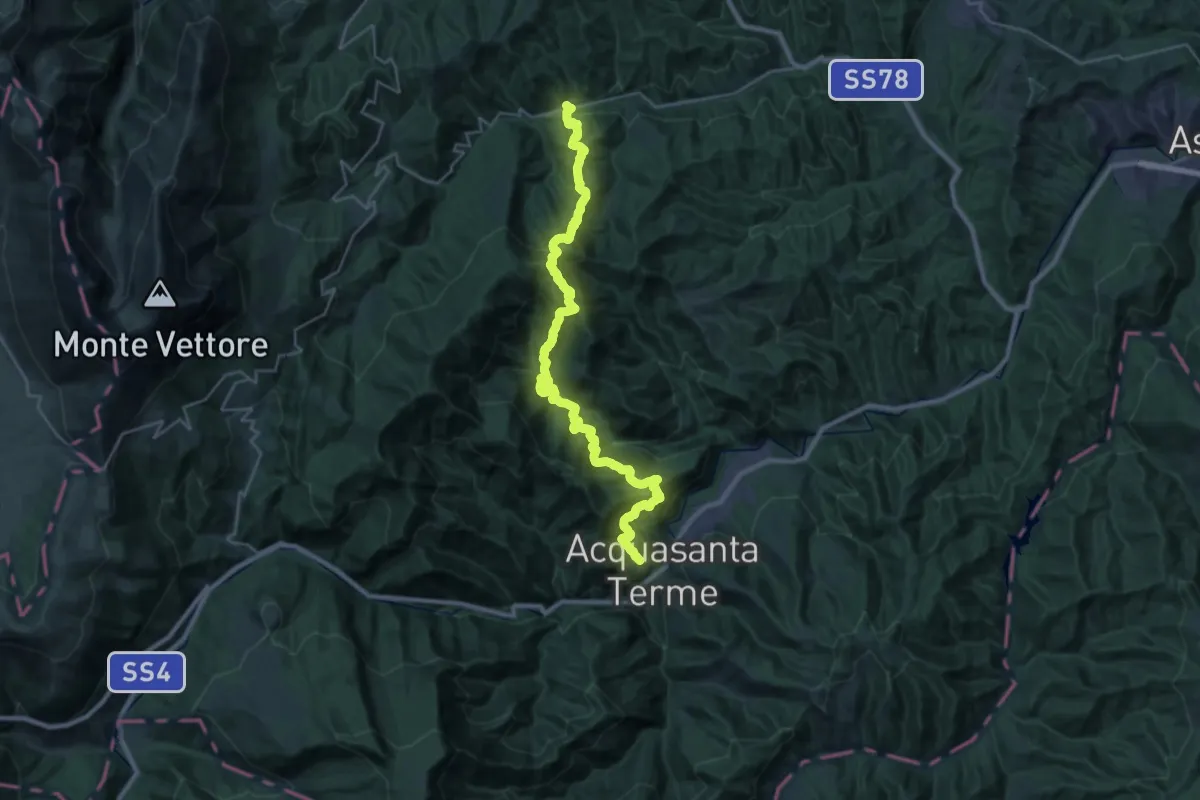
Medium · Trail
Villa da Capo – Cascate dell'Acquasanta
10.1 km · ↑ 601 m · 3 h 41 min · 13 km away
Demanding · Trail
Uscerno – San Vito
16.9 km · ↑ 1264 m · 6 h 58 min · 13 km away
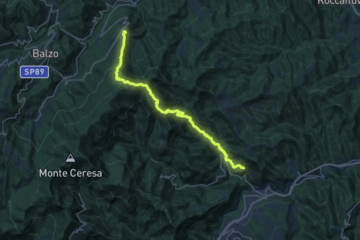
Medium · Trail
Grande Anello dei Borghi Ascolani - Tappa 4
10.3 km · ↑ 580 m · 4 h · 15 km away
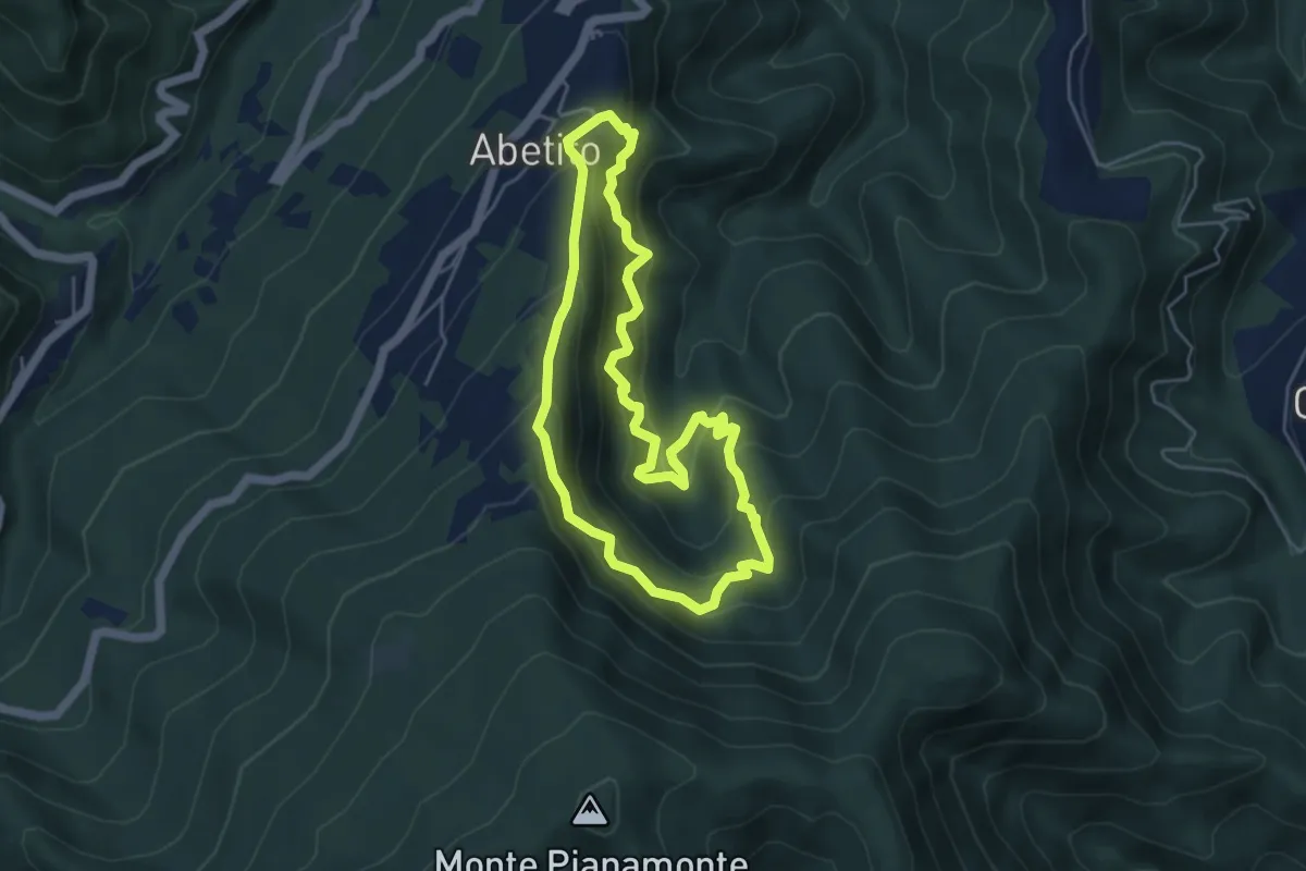
Medium · Trail
Anello di Abetito
4.9 km · ↑ 433 m · 2 h 9 min · 15 km away
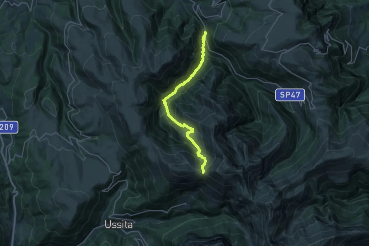
Demanding · Trail
SP47 – Forcella della Banditella
17.2 km · ↑ 1222 m · 6 h 43 min · 15 km away
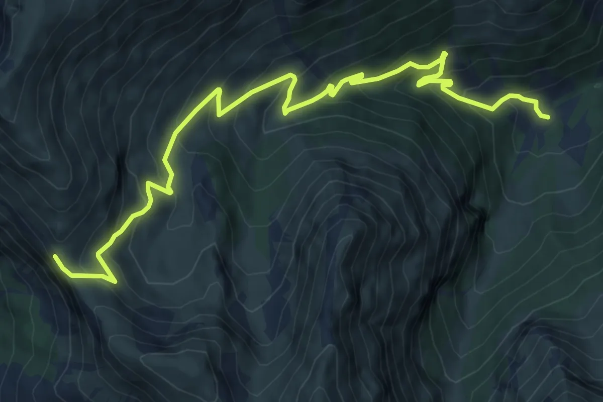
Medium · Trail
Capotenna – Passo Cattivo
10.7 km · ↑ 755 m · 4 h 9 min · 15 km away