Trails near Appiano Gentile
112 hikes starting within 15 km, nearest first.
Nearest first, page 3 of 3
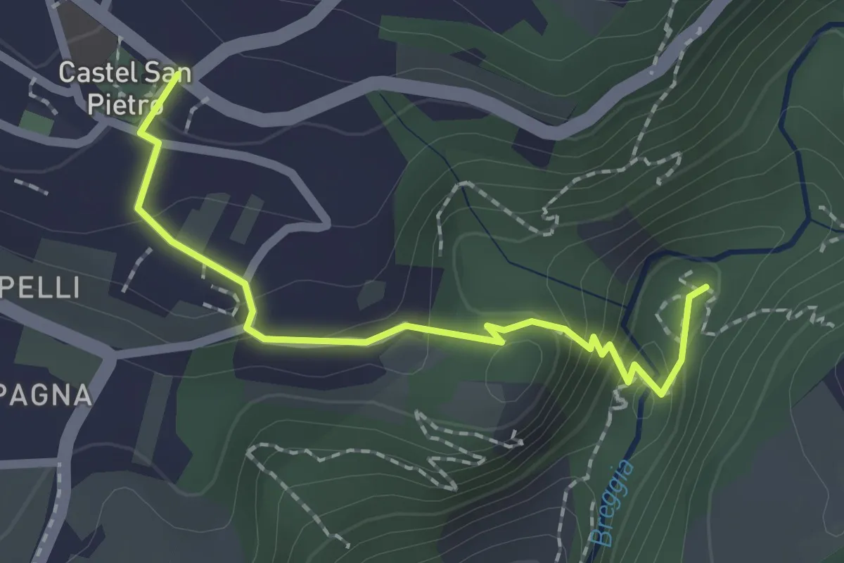
Medium · Trail
Castel San Pietro – Parco Gole della Breggia
2.0 km · ↑ 101 m · 42 min · 14 km away
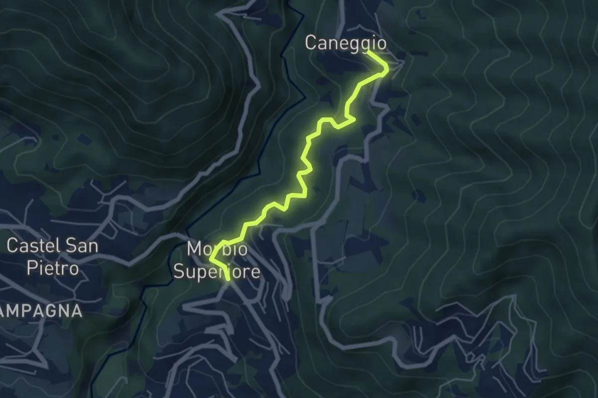
Easy · Trail
Caneggio – Morbio Superiore
4.5 km · ↑ 271 m · 1 h 39 min · 14 km away
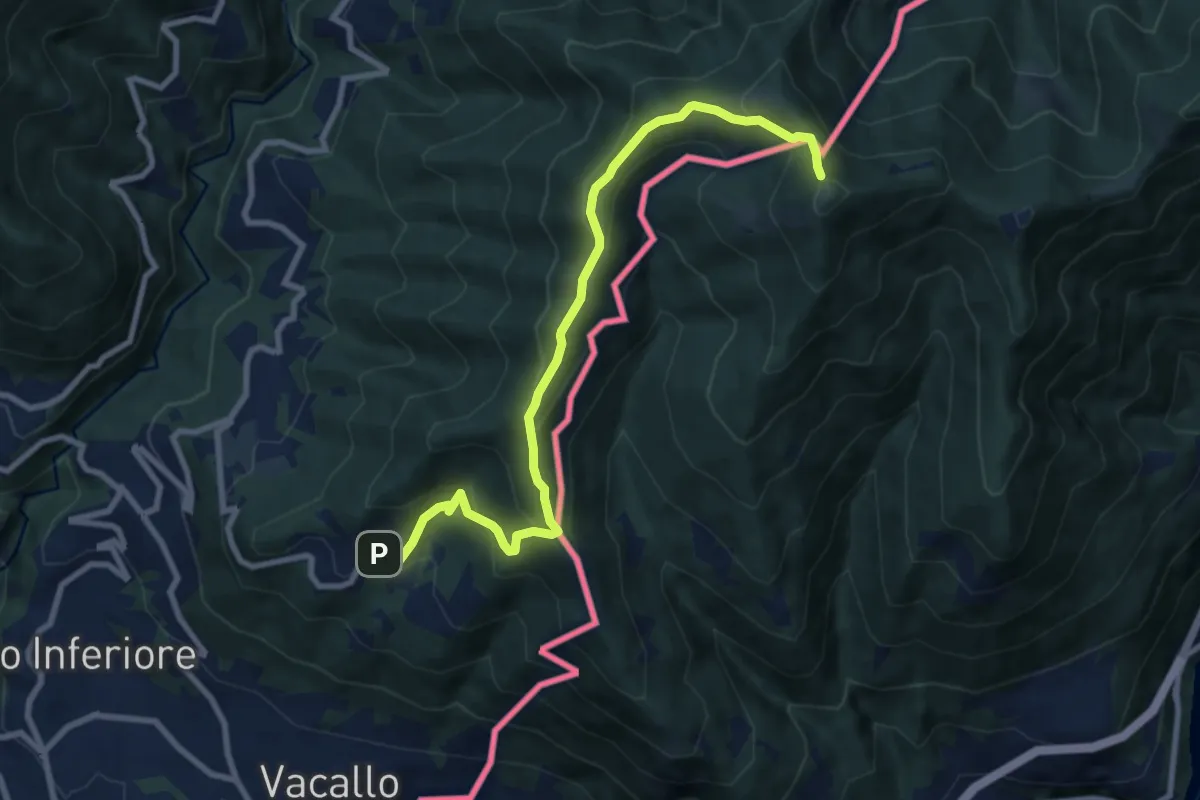
Medium · Trail
Sagno – Monte Bisbino
9.3 km · ↑ 597 m · 3 h 30 min · 14 km away
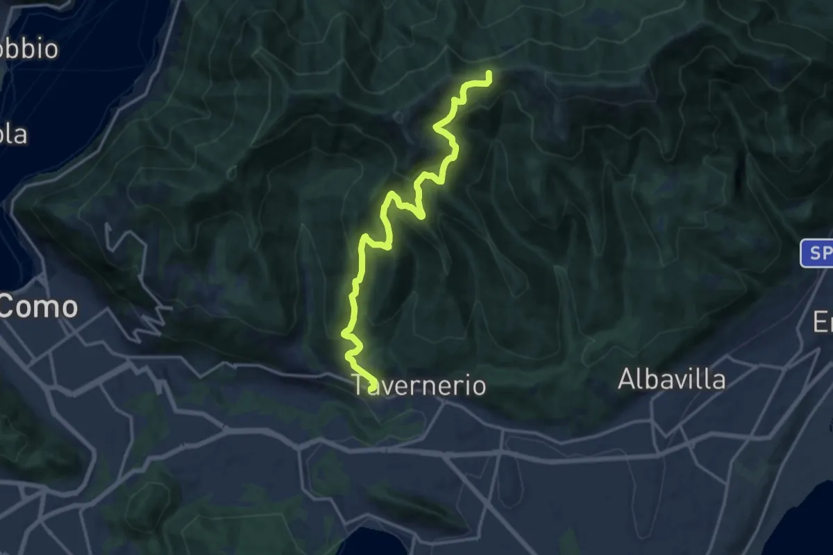
Demanding · Trail
Via Cesare Battisti (Solzago) – Incrocio Sentiero 300 V - Sentiero 363
14.2 km · ↑ 910 m · 5 h 20 min · 14 km away
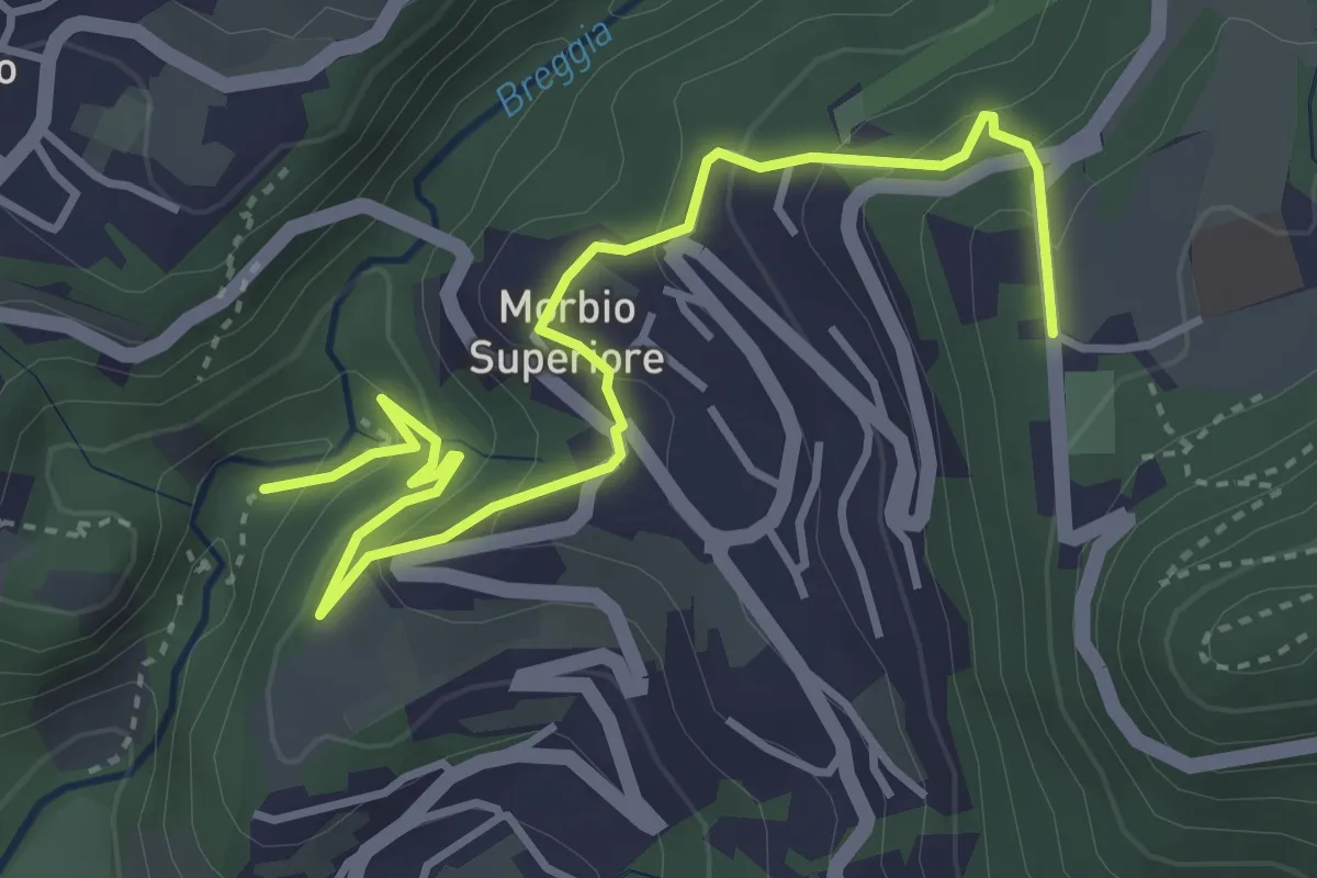
Easy · Trail
Parco Gole della Breggia – Lattecaldo
4.6 km · ↑ 292 m · 1 h 43 min · 15 km away
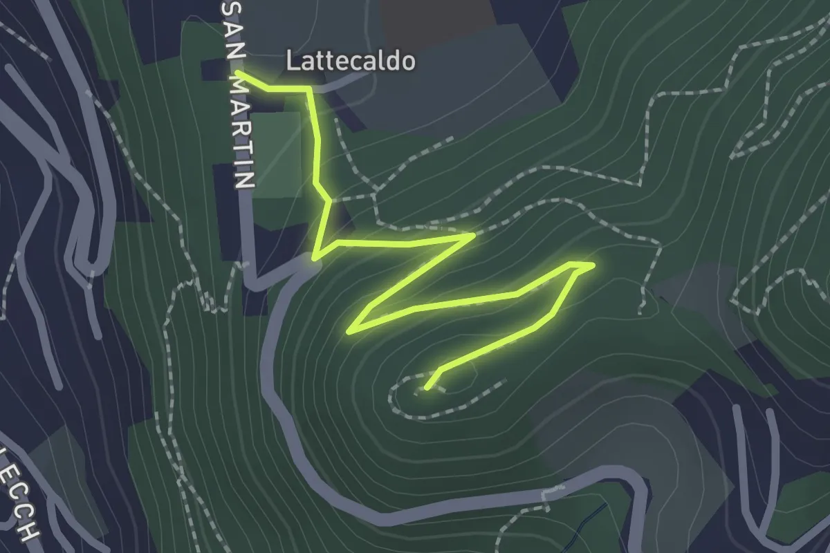
Easy · Trail
Lattecaldo – San Martino
2.3 km · ↑ 138 m · 51 min · 15 km away
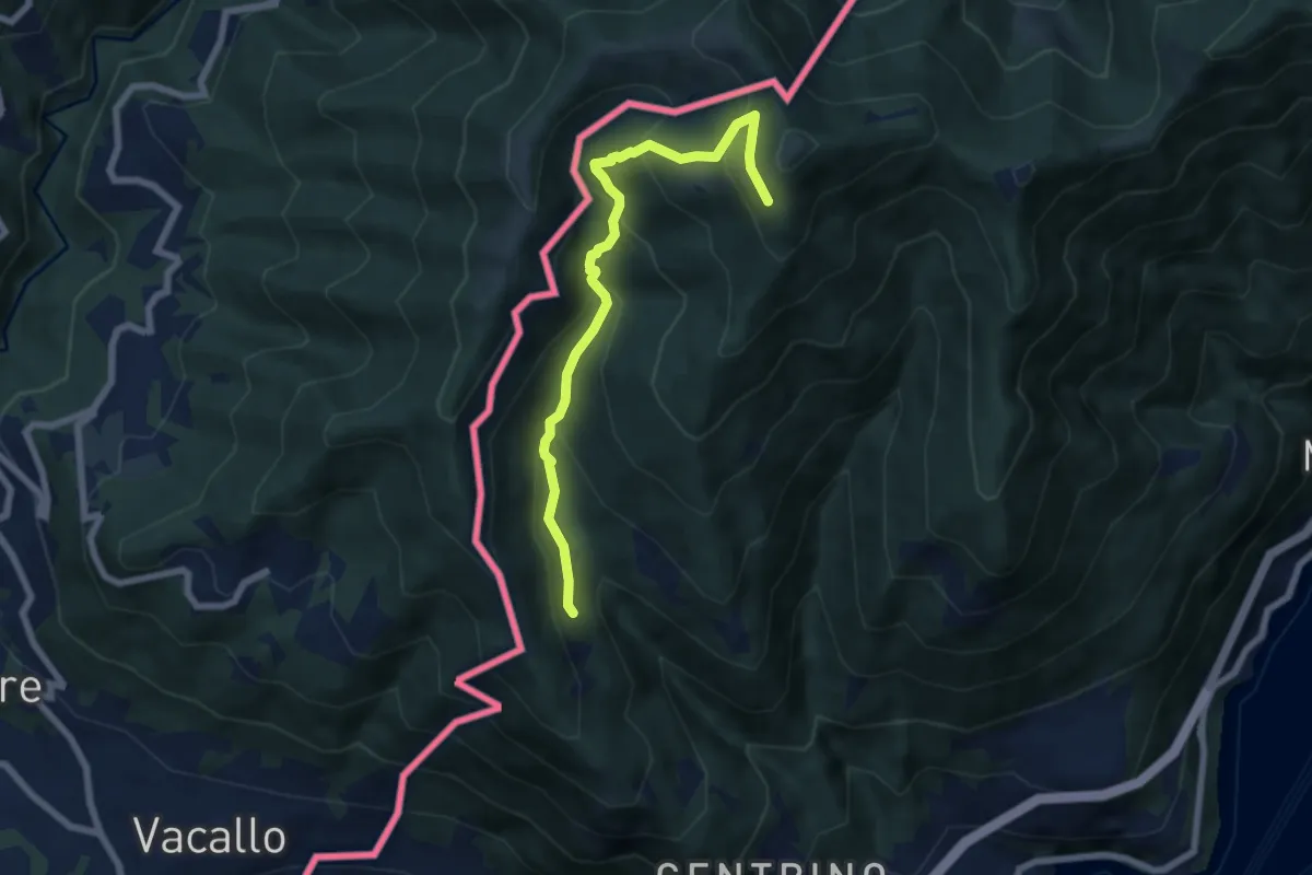
Medium · Trail
Como (Monte Olimpino) – Rifugio Prabello
6.7 km · ↑ 510 m · 2 h 42 min · 15 km away
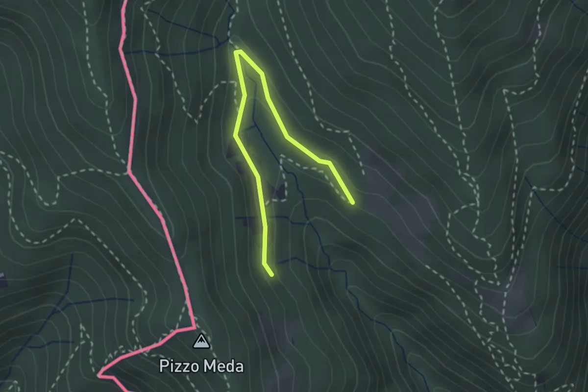
Easy · Trail
Cernobbio-Monte Bisbino
2.5 km · ↑ 103 m · 49 min · 15 km away
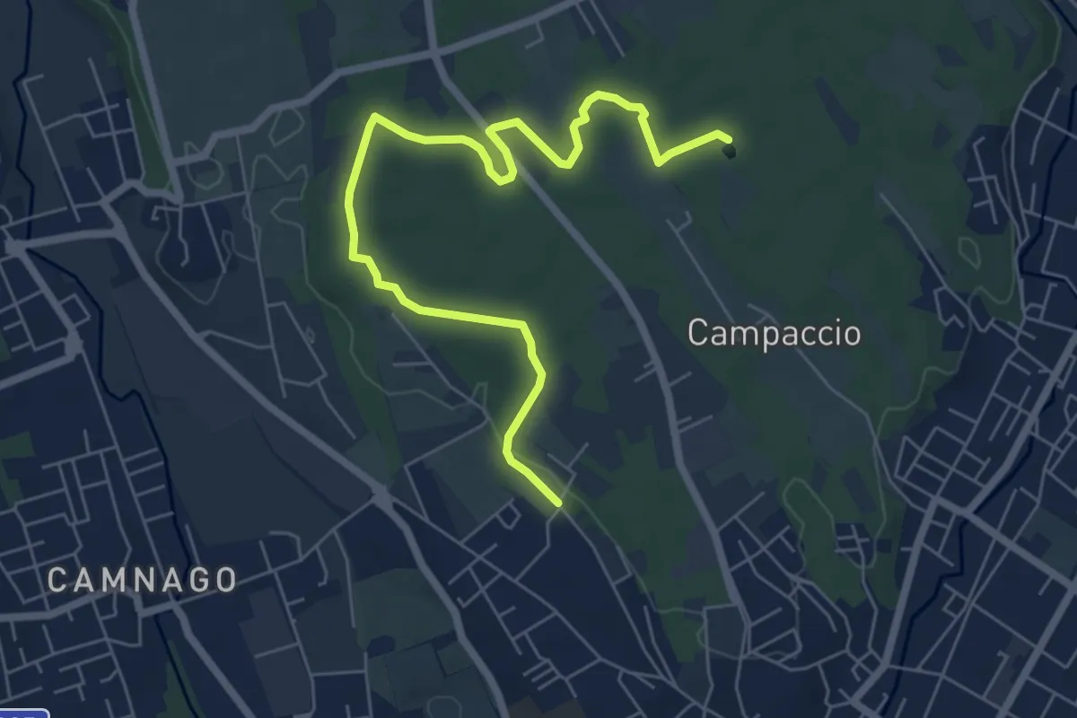
Easy · Trail
Cascina Colombera – Zoca dei Pirutit
7.2 km · ↑ 31 m · 1 h 46 min · 15 km away
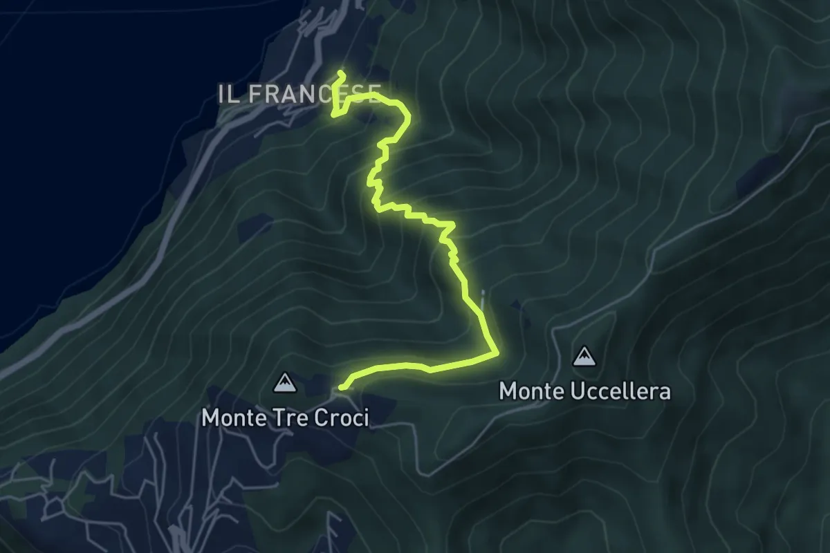
Medium · Trail
Sopravilla (Blevio) – San Maurizio
5.2 km · ↑ 612 m · 2 h 34 min · 15 km away
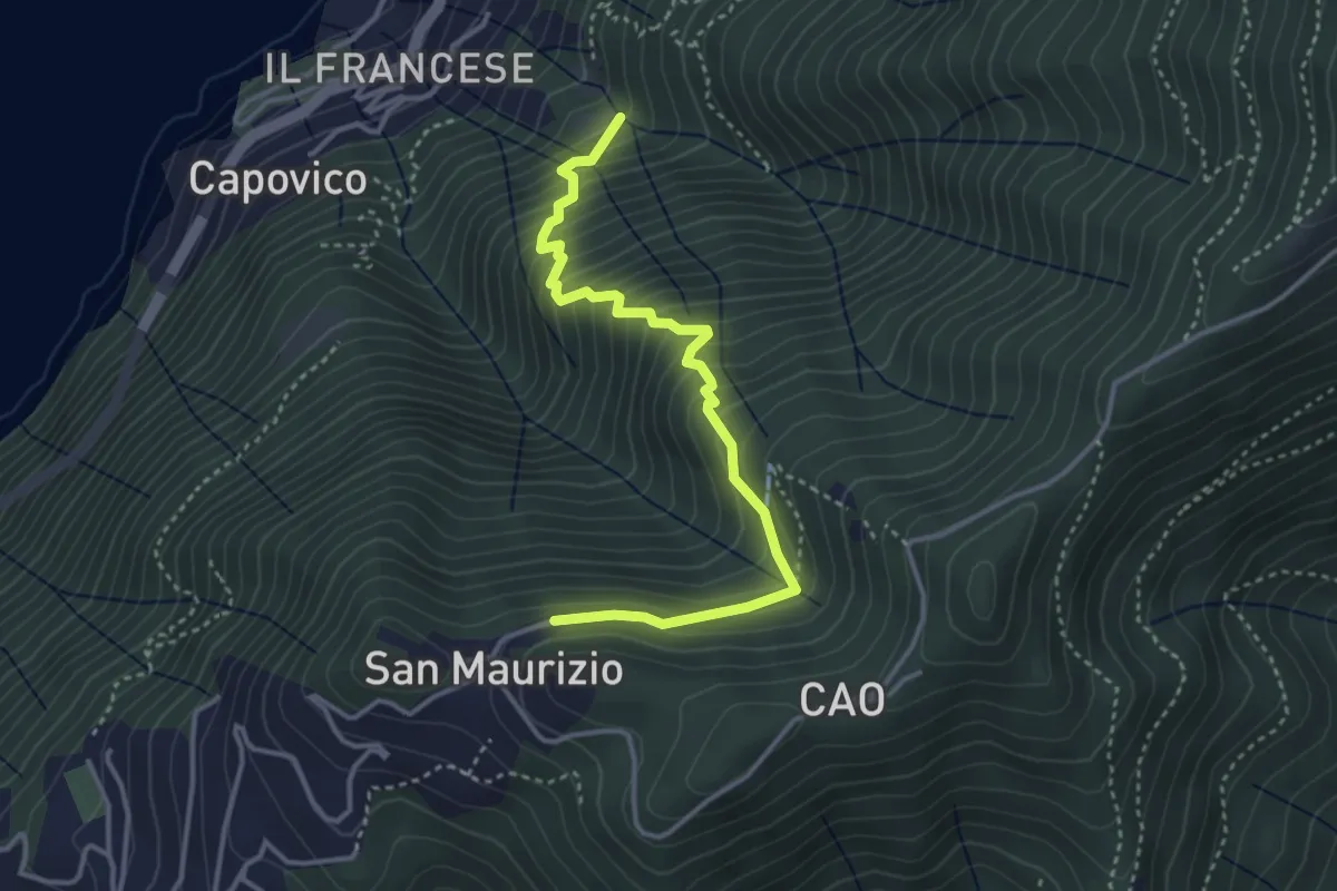
Medium · Trail
Sentiero del Barch (Sopravilla di Blevio-Cascina Barch-San Maurizio)
3.8 km · ↑ 445 m · 1 h 52 min · 15 km away
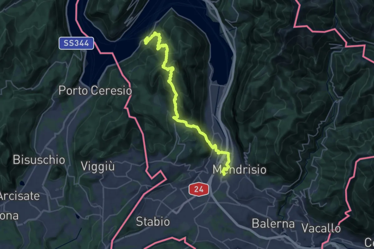
Demanding · Trail
Trans Swiss Trail
12.0 km · ↑ 809 m · 4 h 47 min · 15 km away
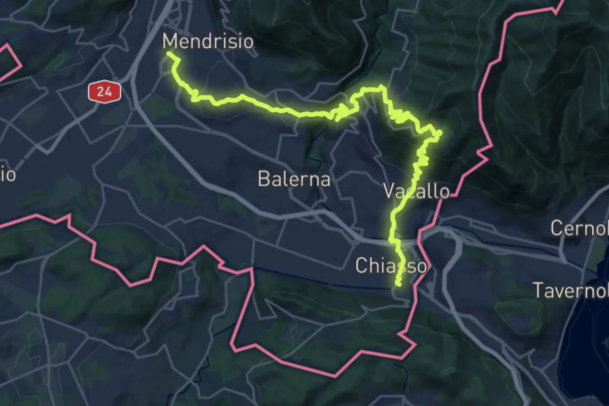
Medium · Trail
ViaGottardo
12.7 km · ↑ 559 m · 4 h 26 min · 15 km away
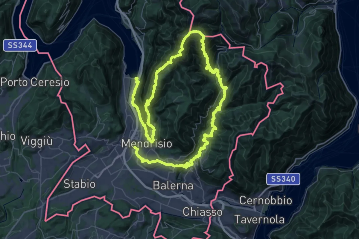
Demanding · Trail
Sentiero Lago di Lugano
32.4 km · ↑ 2076 m · 12 h 38 min · 15 km away
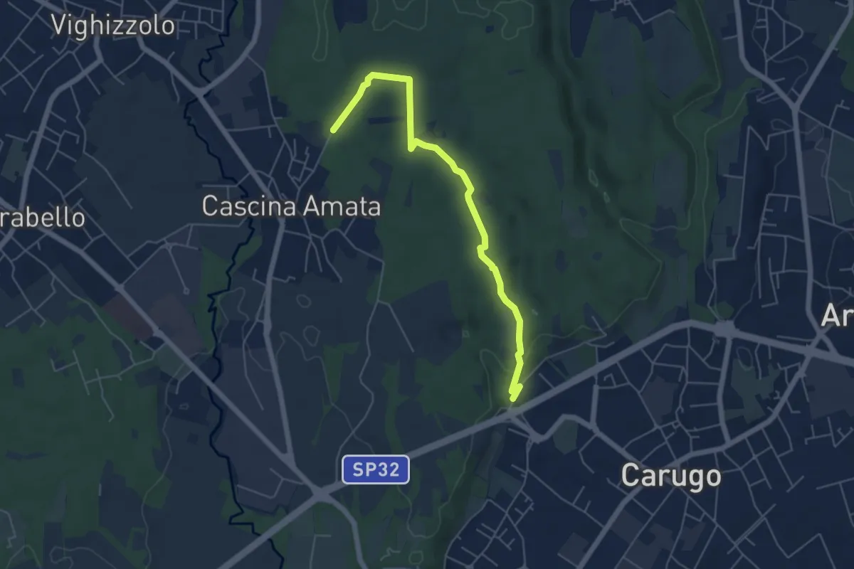
Easy · Trail
Cascina Amata – Cascina San Martino
5.5 km · ↑ 58 m · 1 h 26 min · 15 km away
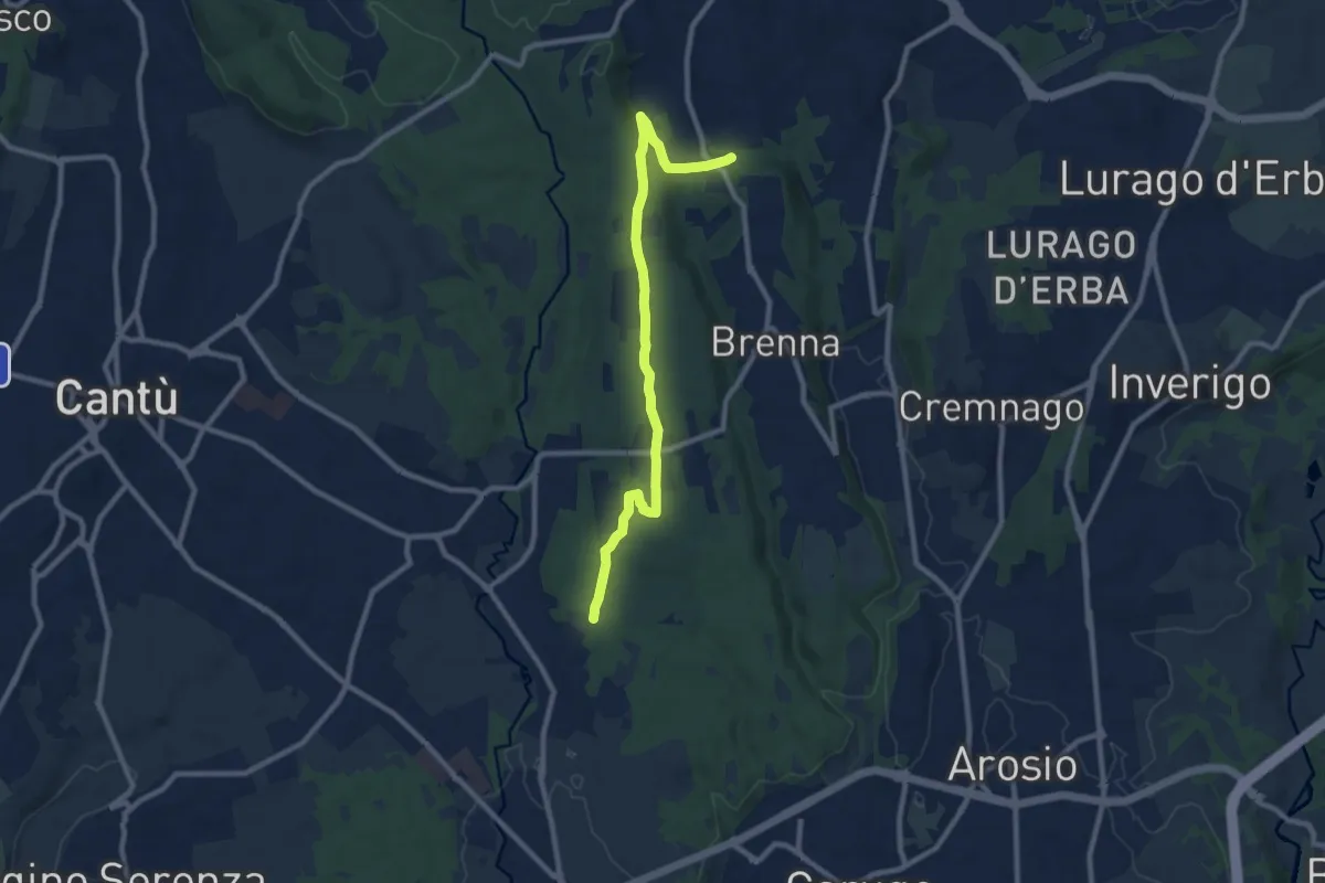
Medium · Trail
Brenna (FS) – Cascina Amata
9.6 km · ↑ 132 m · 2 h 33 min · 15 km away