Trails near Arezzo
38 hikes starting within 15 km, nearest first.
Nearest first
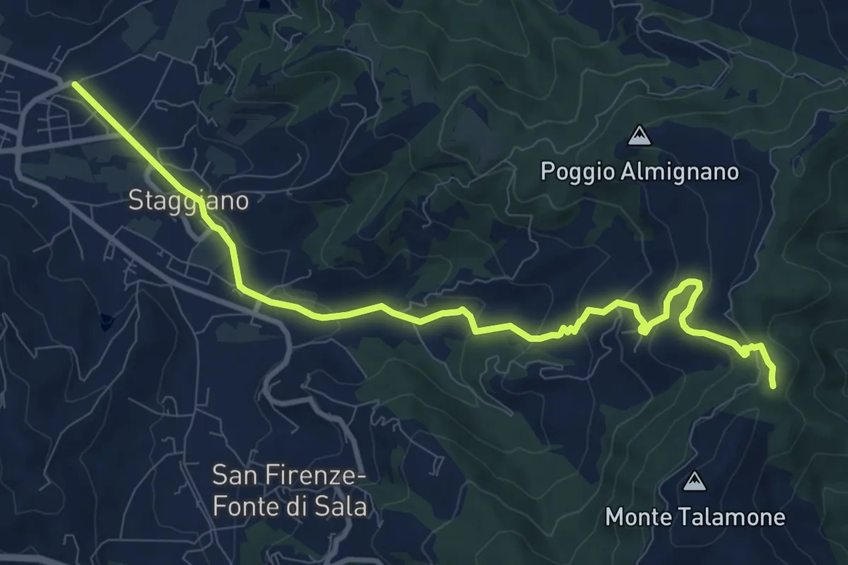
Medium · Trail
Via F. Severi – Sentiero 50 Peneto
11.2 km · ↑ 398 m · 3 h 31 min · 2 km away
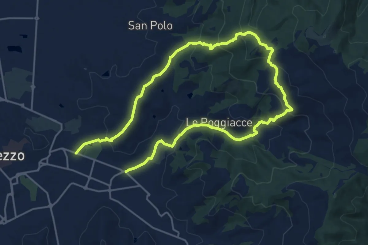
Demanding · Trail
Sentiero Gian Paolo Matteagi
21.8 km · ↑ 873 m · 7 h 3 min · 2 km away
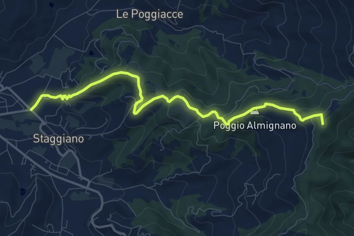
Medium · Summit
Staggiano – Badia di Pomaio
10.3 km · ↑ 505 m · 3 h 31 min · 3 km away
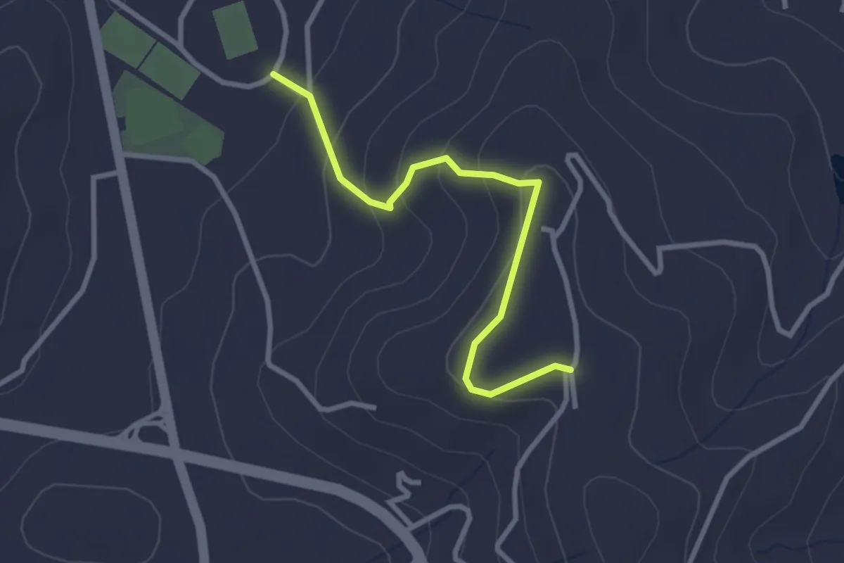
Easy · Trail
Via di Castelsecco – Sentiero 149 San Cornelio
2.9 km · ↑ 143 m · 59 min · 3 km away
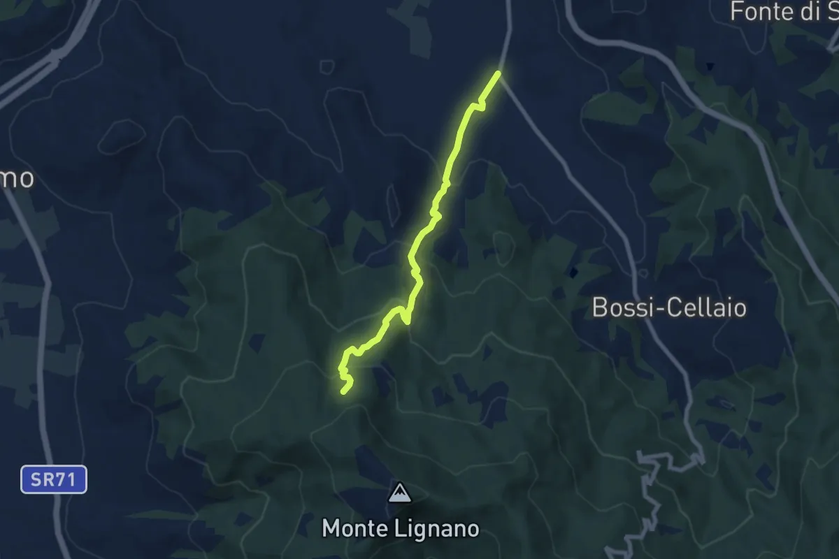
Medium · Trail
Sentiero 151 Loc San Cosimo – Bagnoro
6.9 km · ↑ 387 m · 2 h 29 min · 3 km away
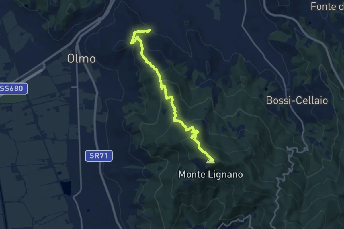
Medium · Summit
Sentiero CAI 50 presso monte Camurcina – Arezzo Località San Marco
11.1 km · ↑ 523 m · 3 h 46 min · 3 km away
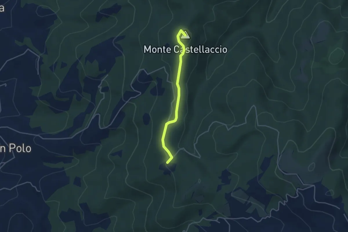
Easy · Summit
Sentiero 131 loc Quarantola – Sentiero 102 Monte Castellaccio
3.4 km · ↑ 87 m · 59 min · 5 km away
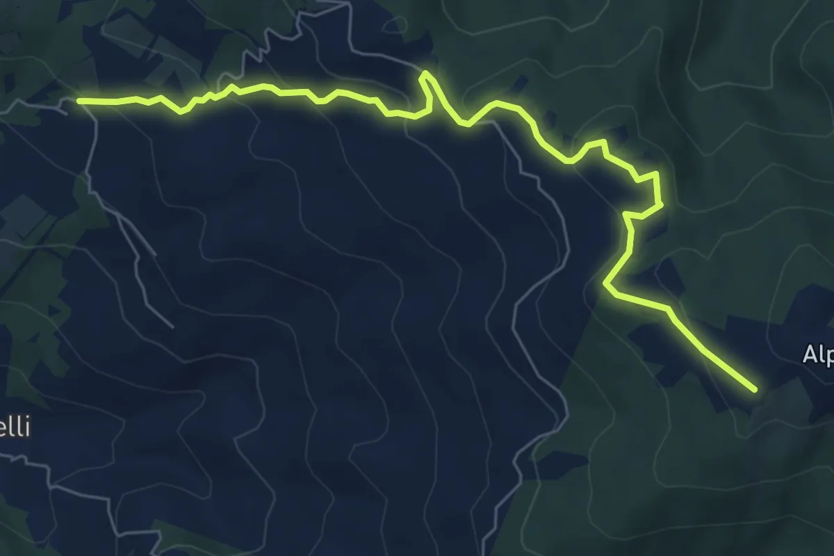
Medium · Trail
Sentiero 131 in Loc Pomaio – Sentiero 50 presso Poti
7.9 km · ↑ 348 m · 2 h 37 min · 5 km away
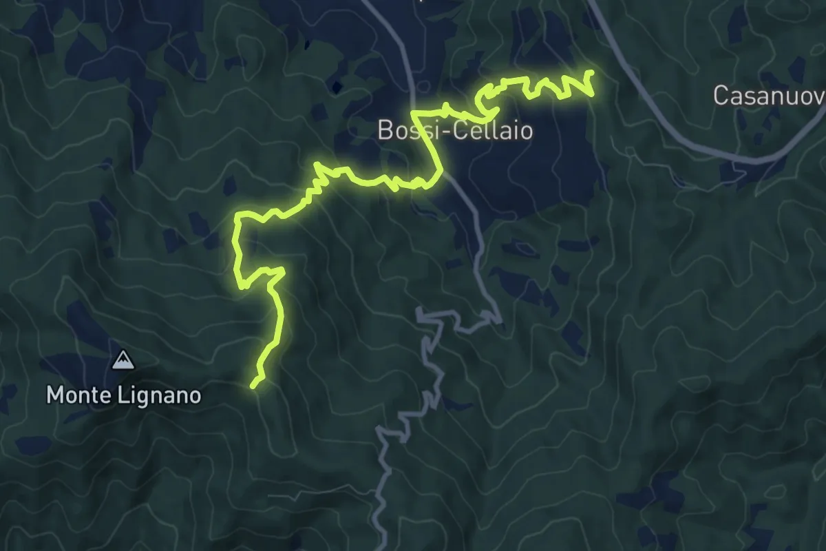
Medium · Trail
Sentiero 149 a Monte Cuculo – Sentiero 151 Foce di Rigutino
12.9 km · ↑ 739 m · 4 h 39 min · 6 km away
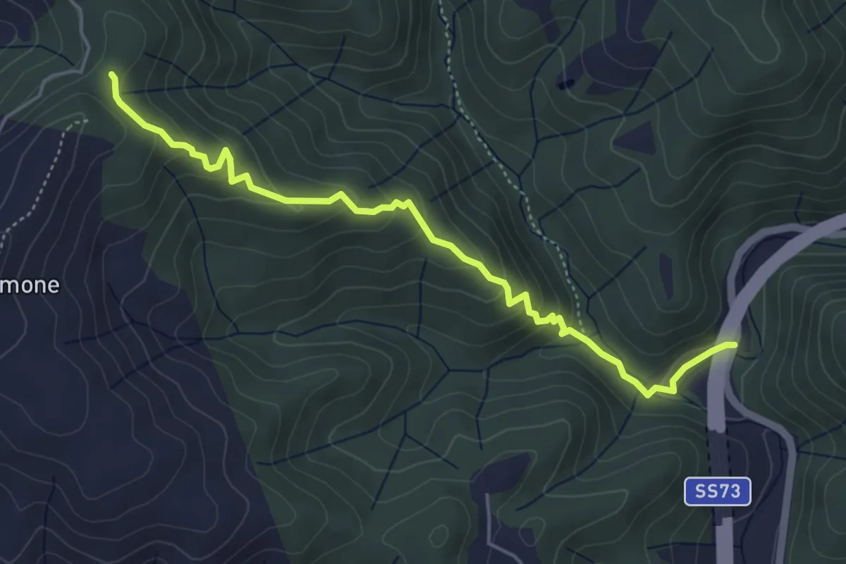
Easy · Trail
Sentiero CAI 50 sotto Monte Talamone – Località L'Intoppo
5.3 km · ↑ 276 m · 1 h 52 min · 6 km away
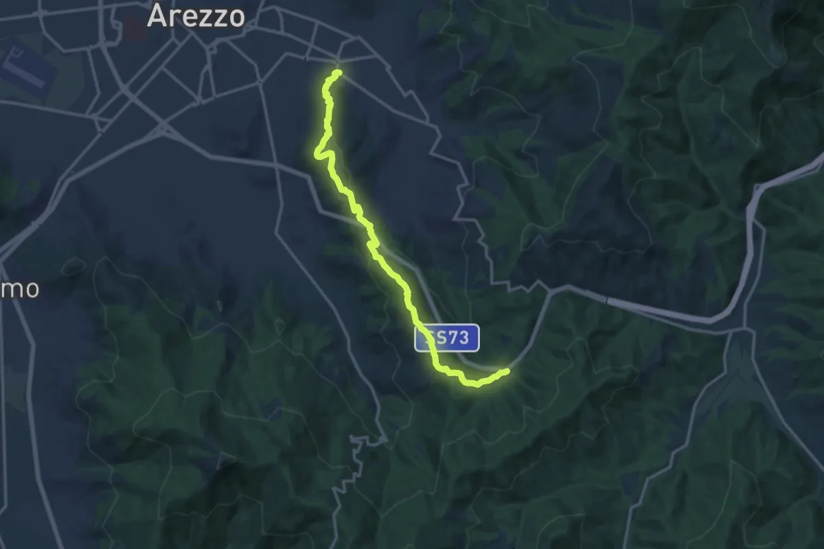
Medium · Trail
Via Dell'Acropoli – Sentiero 50 Torrino
13.9 km · ↑ 462 m · 4 h 17 min · 7 km away
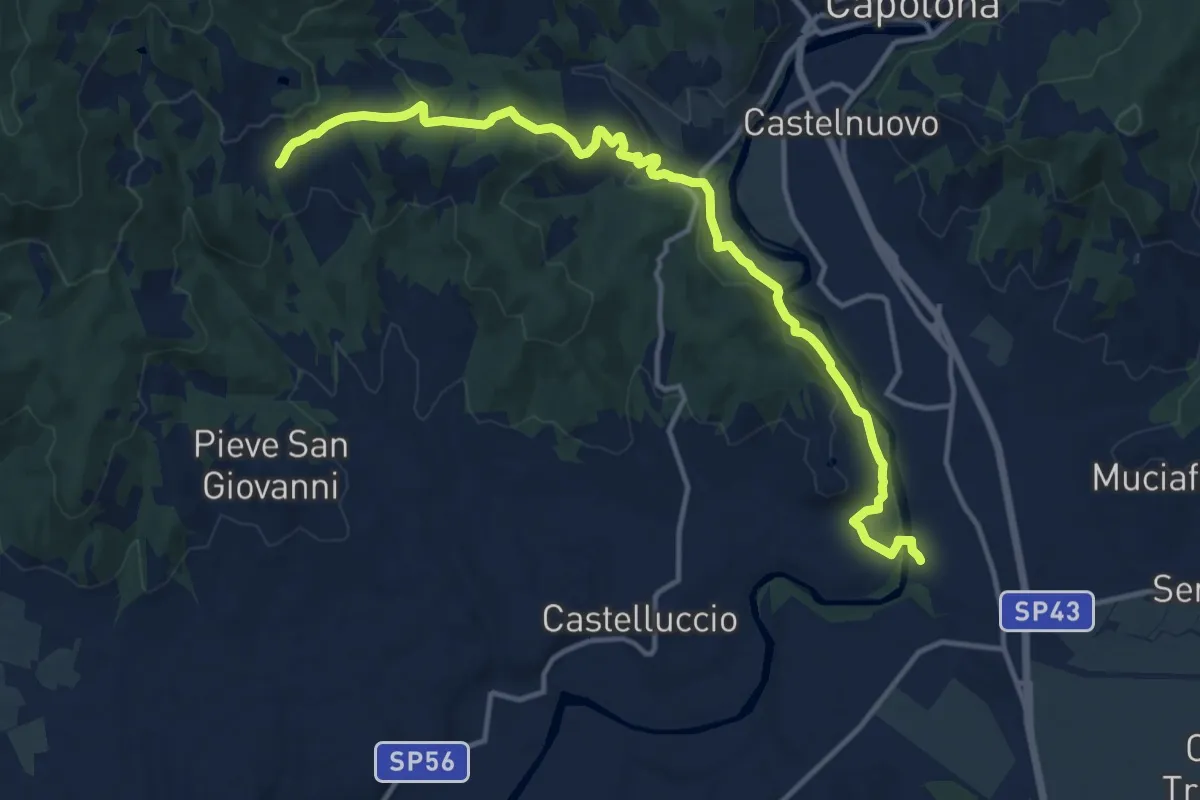
Medium · Trail
Giovi – Casavecchia
15.5 km · ↑ 378 m · 4 h 28 min · 7 km away
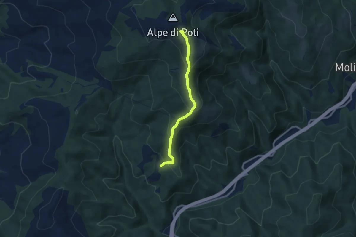
Medium · Summit
Sentiero 146 sopra Radicata – Sentiero 50 Alpe di Poti
5.8 km · ↑ 377 m · 2 h 12 min · 8 km away
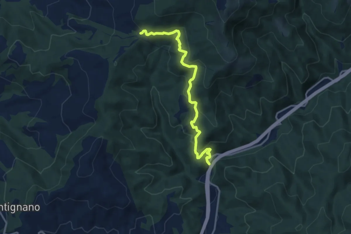
Medium · Trail
Sentiero CAI 50 località San Severo – Ex Strada Statale 73 Località L'Intoppo
9.1 km · ↑ 470 m · 3 h 9 min · 8 km away
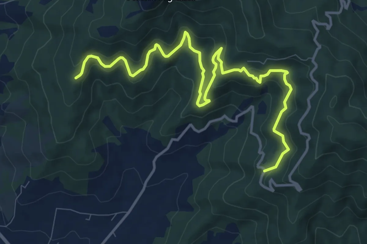
Medium · Trail
Rigutinelli – Sentiero 145
12.2 km · ↑ 709 m · 4 h 25 min · 9 km away
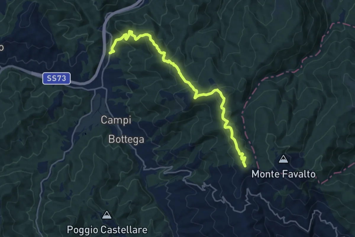
Medium · Summit
Palazzo del Pero Località La Lastra – Sentiero 158 sopra La Dogana
16.3 km · ↑ 638 m · 5 h 14 min · 9 km away
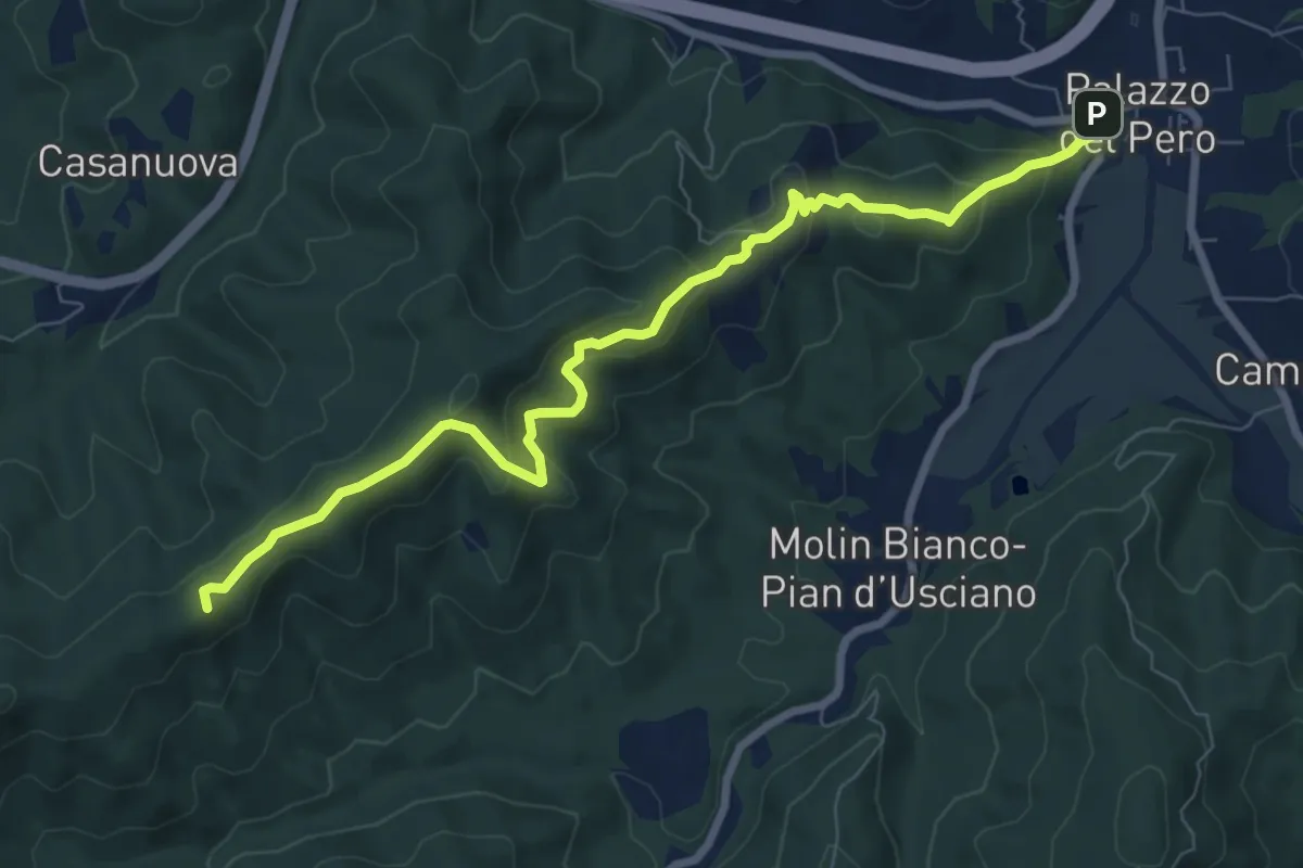
Medium · Summit
Sentiero 50 località Crocina – Palazzo del Pero
8.9 km · ↑ 460 m · 3 h 6 min · 9 km away
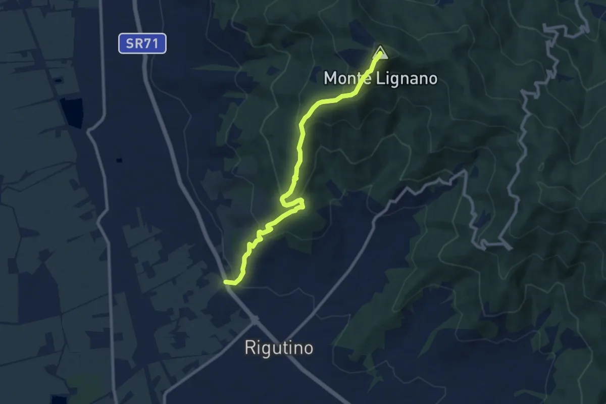
Medium · Summit
Rigutino – Monte Lignano
8.3 km · ↑ 514 m · 3 h 5 min · 9 km away
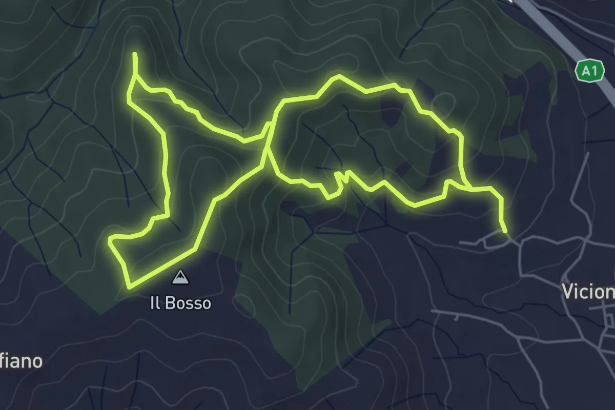
Easy · Summit
Percorso GAENNE
5.6 km · ↑ 192 m · 1 h 51 min · 9 km away
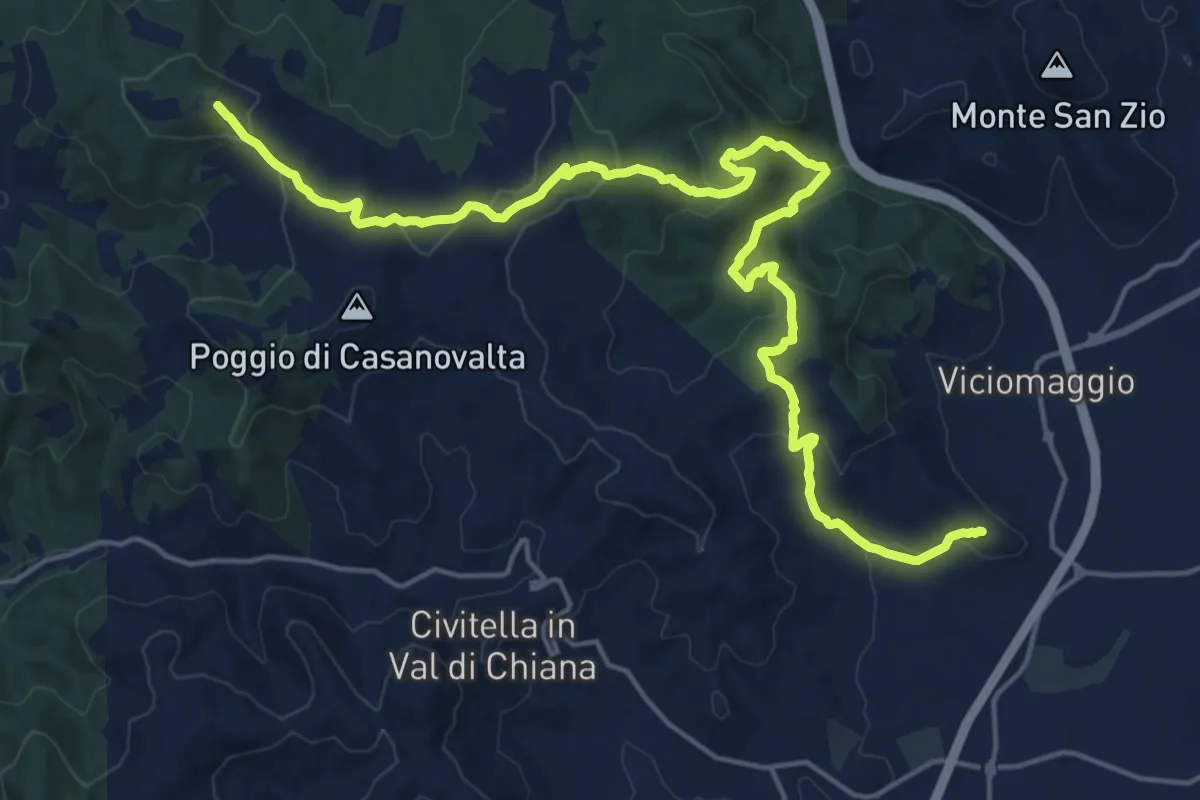
Demanding · Summit
Sentiero 103 pressi Pergine Valdarno (deposito acquedotto) – Tuori
23.2 km · ↑ 781 m · 7 h 10 min · 10 km away
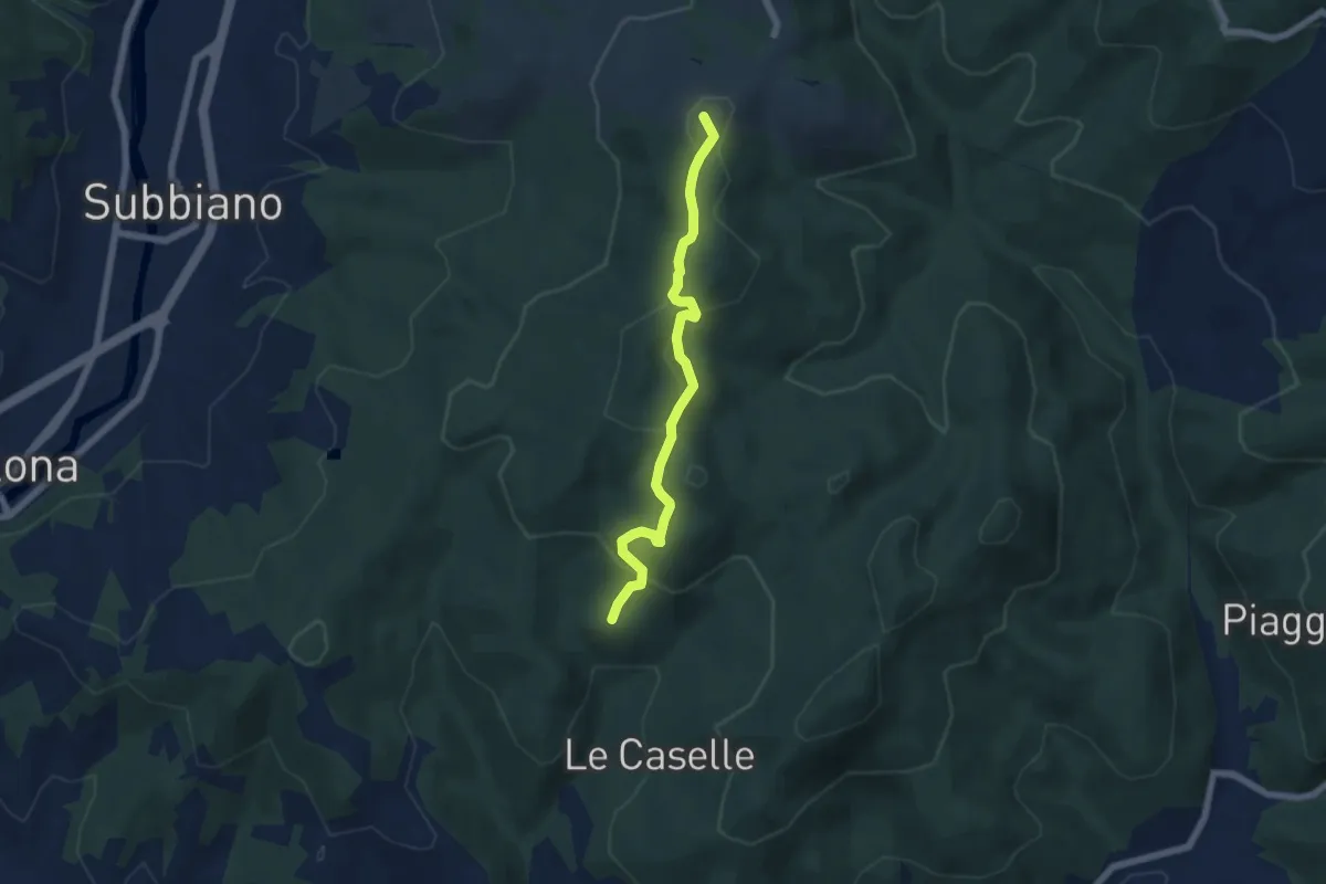
Easy · Summit
Montegiovi – Sentiero 50 presso Cul di Paiolo
5.9 km · ↑ 181 m · 1 h 47 min · 11 km away
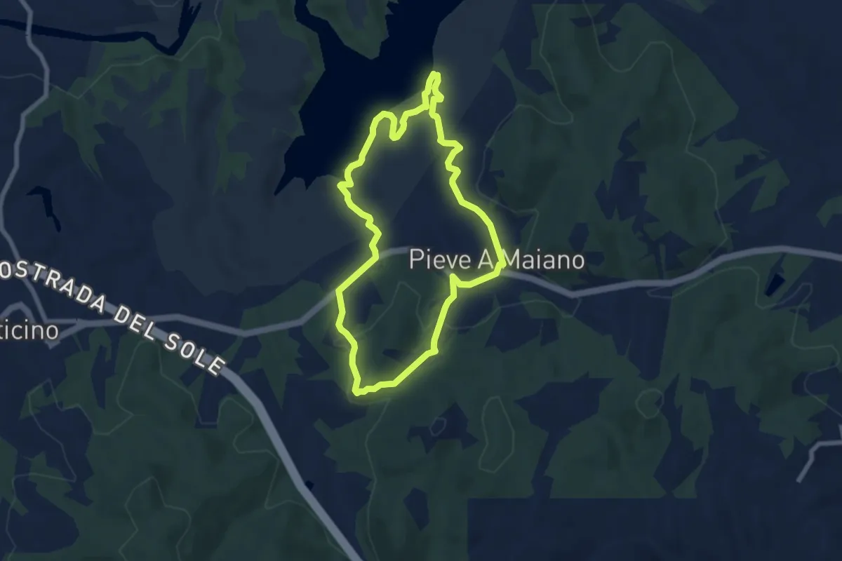
Easy · Trail
Percorso PINETA
6.4 km · ↑ 164 m · 1 h 58 min · 11 km away
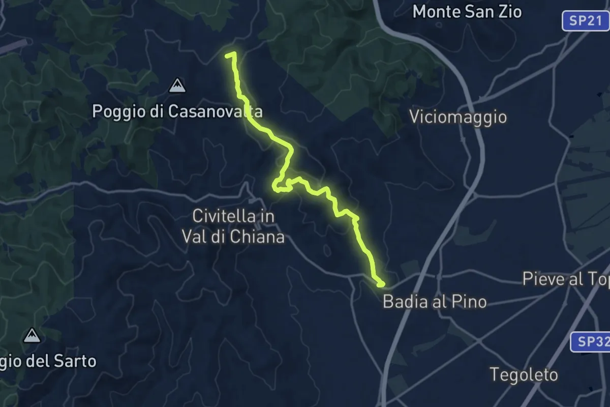
Medium · Summit
Sentiero 105 presso San Martino in Poggio – Dorna
13.9 km · ↑ 500 m · 4 h 21 min · 12 km away
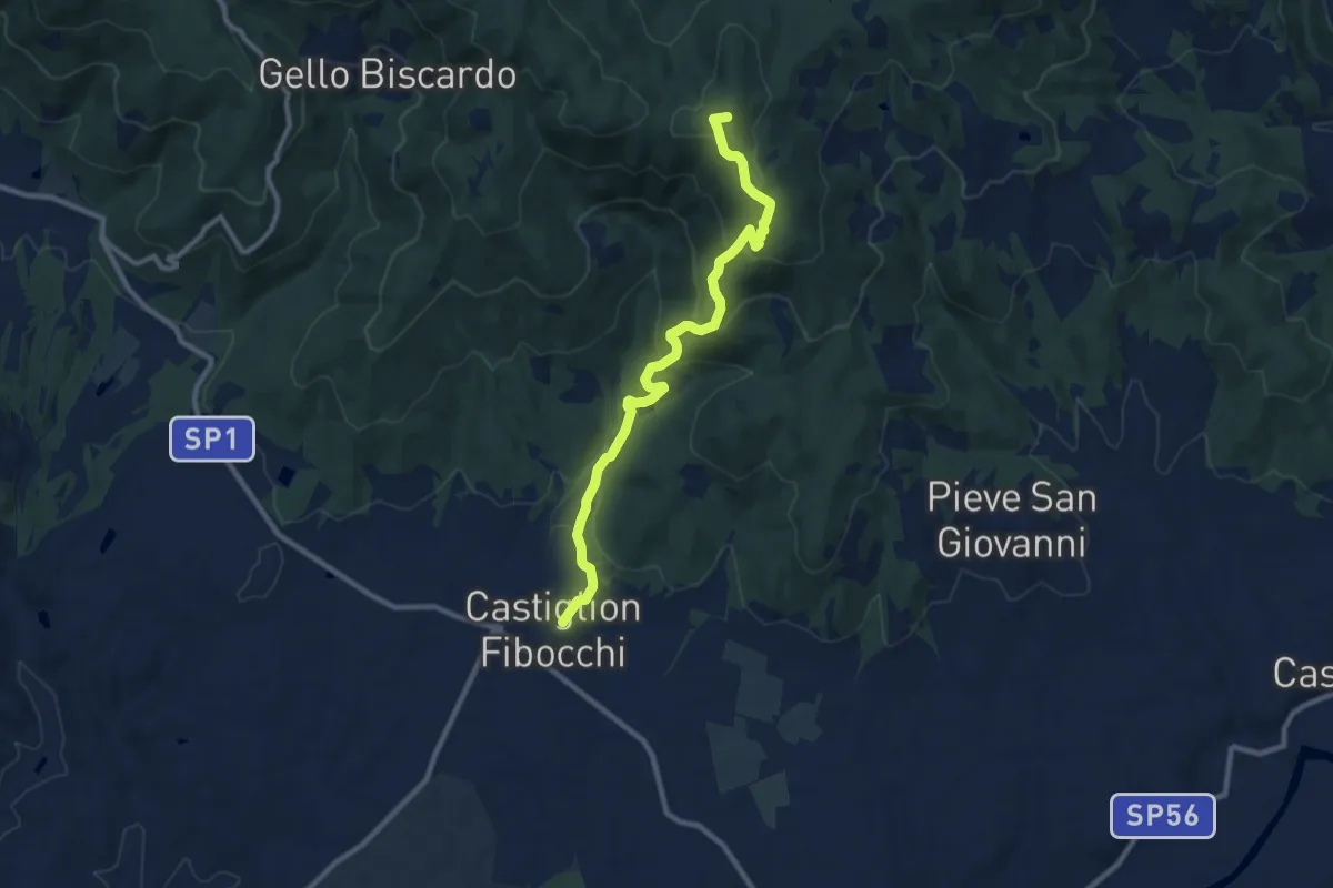
Medium · Summit
Castiglion Fibocchi – Innesto Sentiero 900 presso Monte Capannino
10.4 km · ↑ 506 m · 3 h 33 min · 12 km away
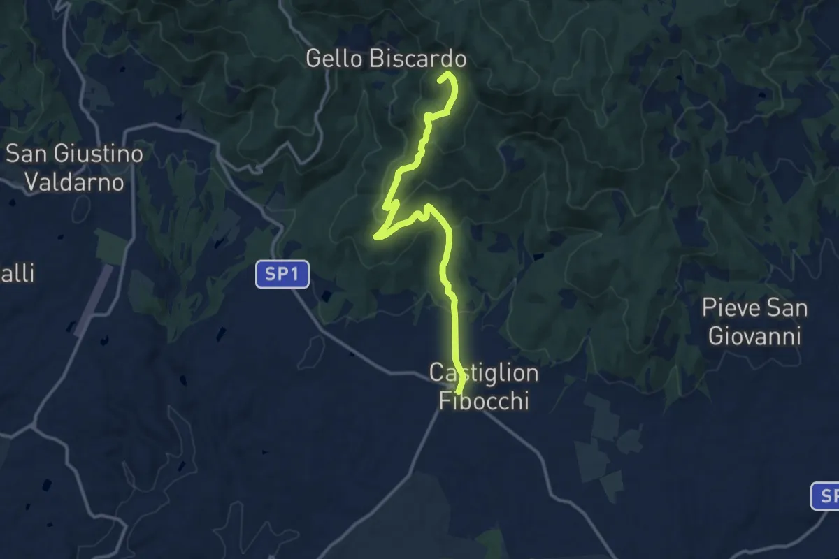
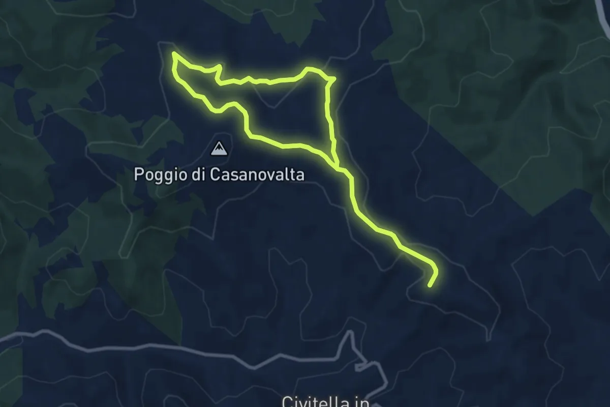
Medium · Summit
Castiglion Fibocchi – innesto sentiero 900 presso Poggio della Baselica
12.2 km · ↑ 427 m · 3 h 48 min · 12 km away
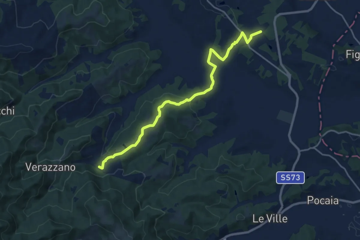
Easy · Summit
Percorso SAN MARTINO IN POGGIO
6.5 km · ↑ 139 m · 1 h 55 min · 12 km away
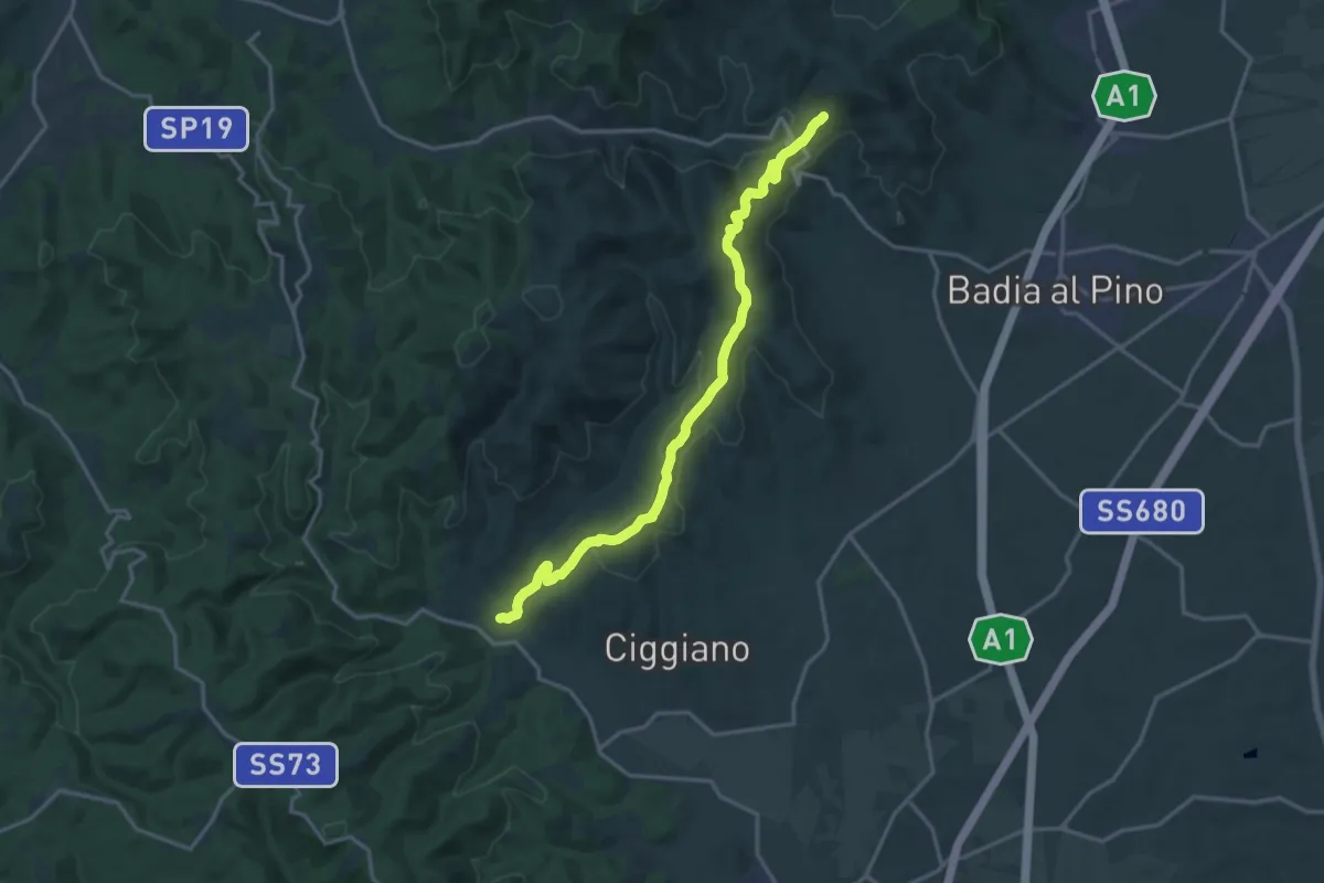
Medium · Trail
Toppole – Anghiari
13.9 km · ↑ 417 m · 4 h 12 min · 12 km away
Demanding · Trail
Sentiero 107 a 2Km da Civitella Val di Chiana – Sentiero 113 a circa 1Km da Verniana
18.5 km · ↑ 573 m · 5 h 37 min · 12 km away
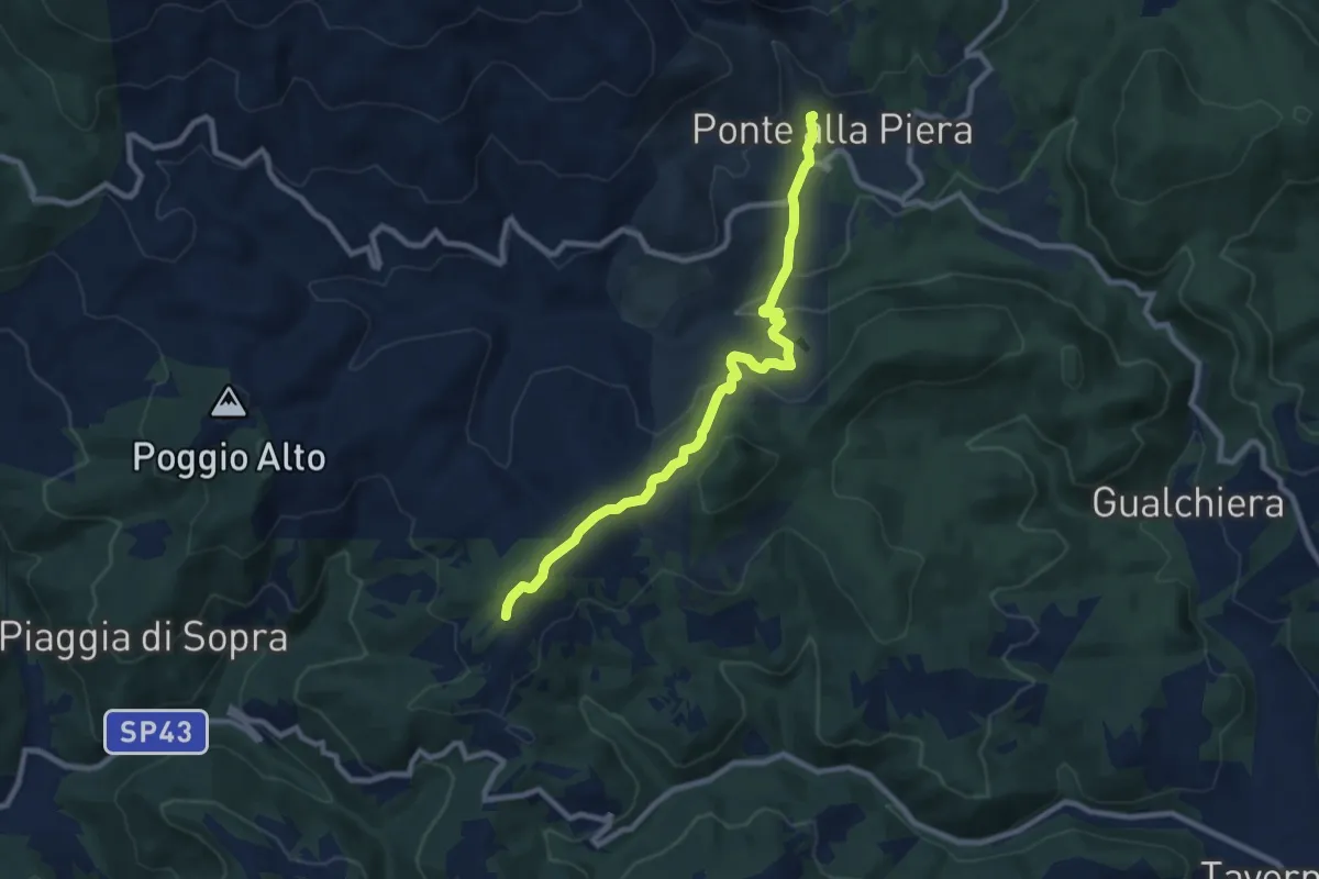
Medium · Trail
Ponte alla Piera – Sentiero 50 nei pressi de La Scheggia
9.3 km · ↑ 307 m · 2 h 52 min · 13 km away
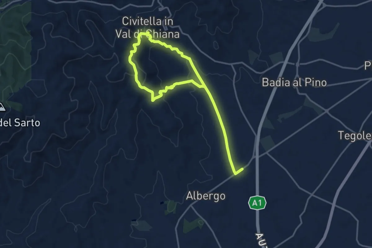
Medium · Trail
Percorso VIA DEI MERCANTI
8.7 km · ↑ 282 m · 2 h 48 min · 13 km away
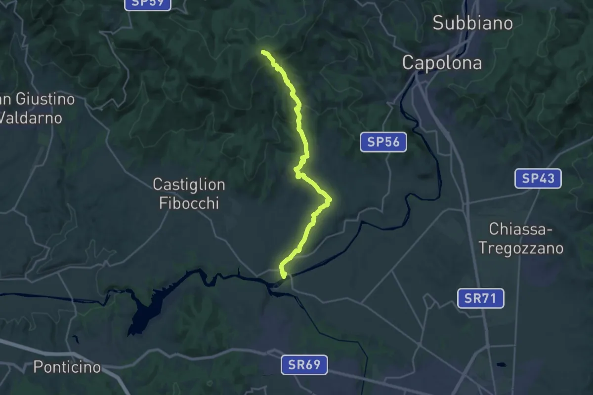
Demanding · Trail
Ponte Buriano – Innesto sentiero 900 presso Spedale
19.3 km · ↑ 594 m · 5 h 50 min · 14 km away
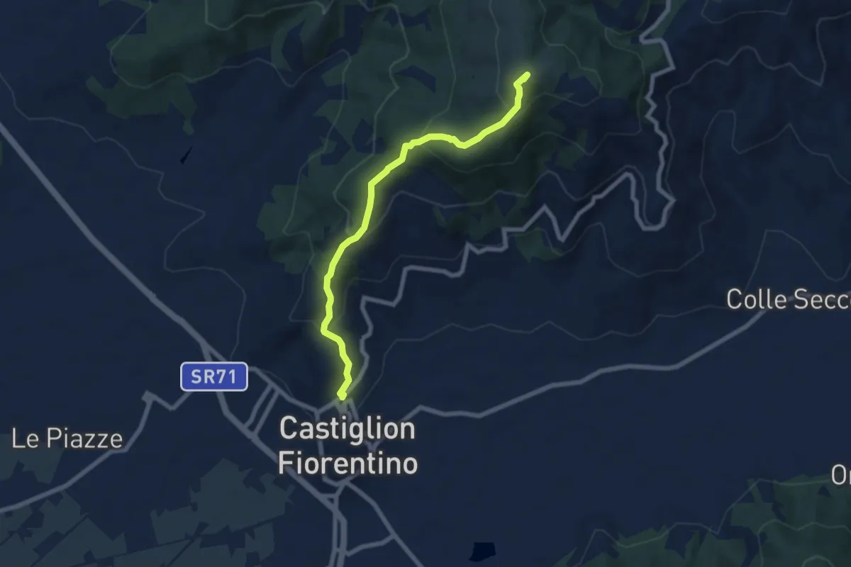
Medium · Summit
Sentiero 50 C/o Monte Castiglion Maggio – Castiglion Fiorentino
6.8 km · ↑ 453 m · 2 h 36 min · 14 km away
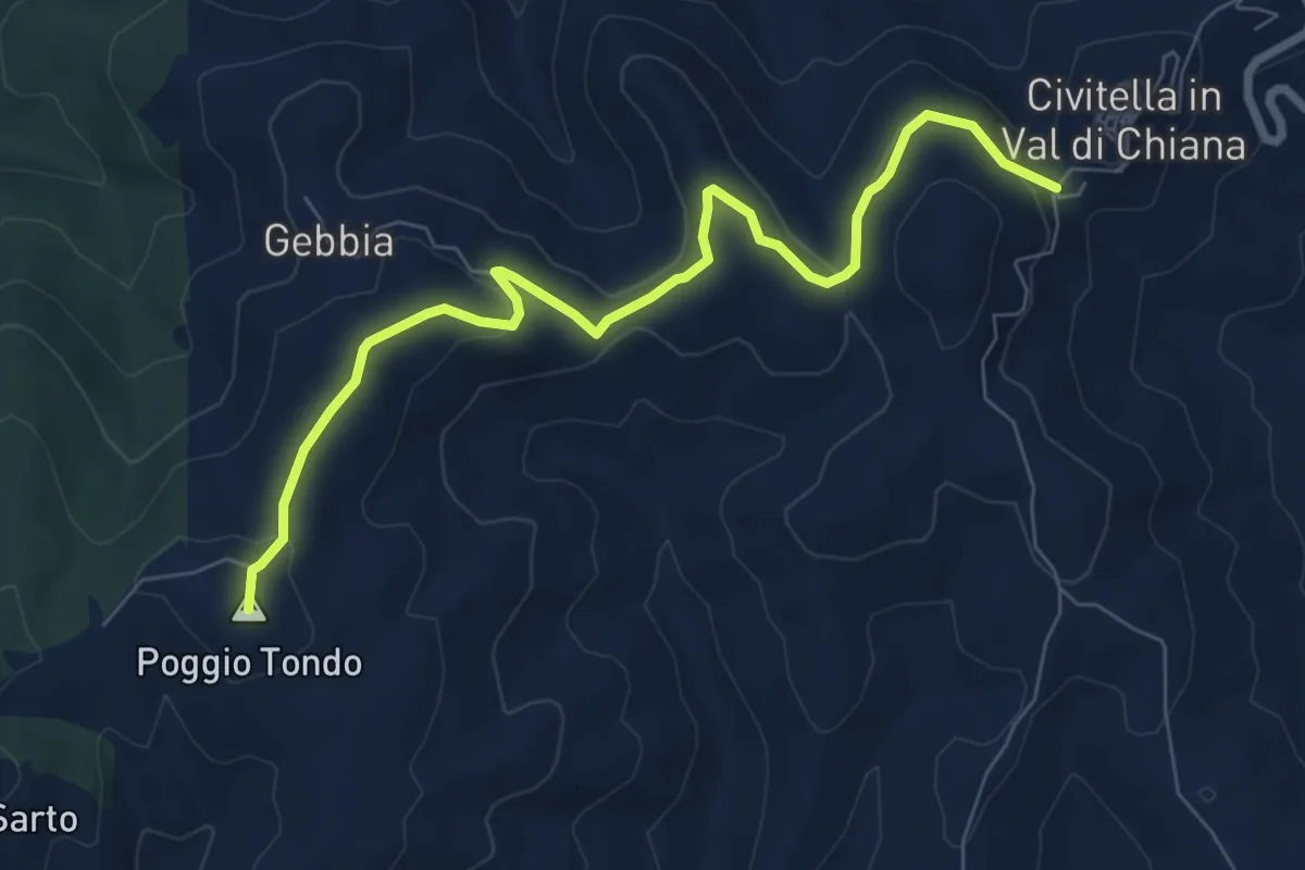
Medium · Summit
Civitella in Val di Chiana (Sentiero 109) – San Pancrazio (Sentiero 103)
8.3 km · ↑ 206 m · 2 h 25 min · 14 km away
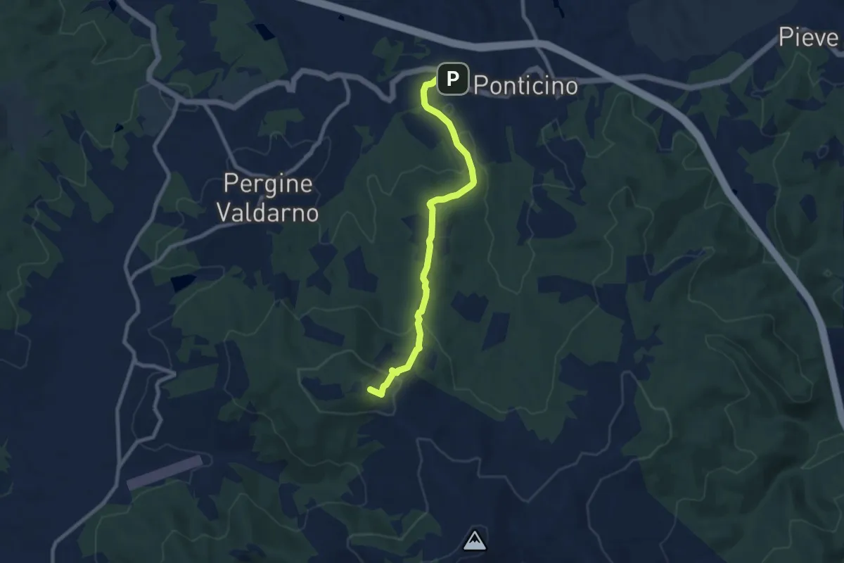
Medium · Summit
Montelucci sent 105 – Ponticino
8.5 km · ↑ 285 m · 2 h 37 min · 14 km away
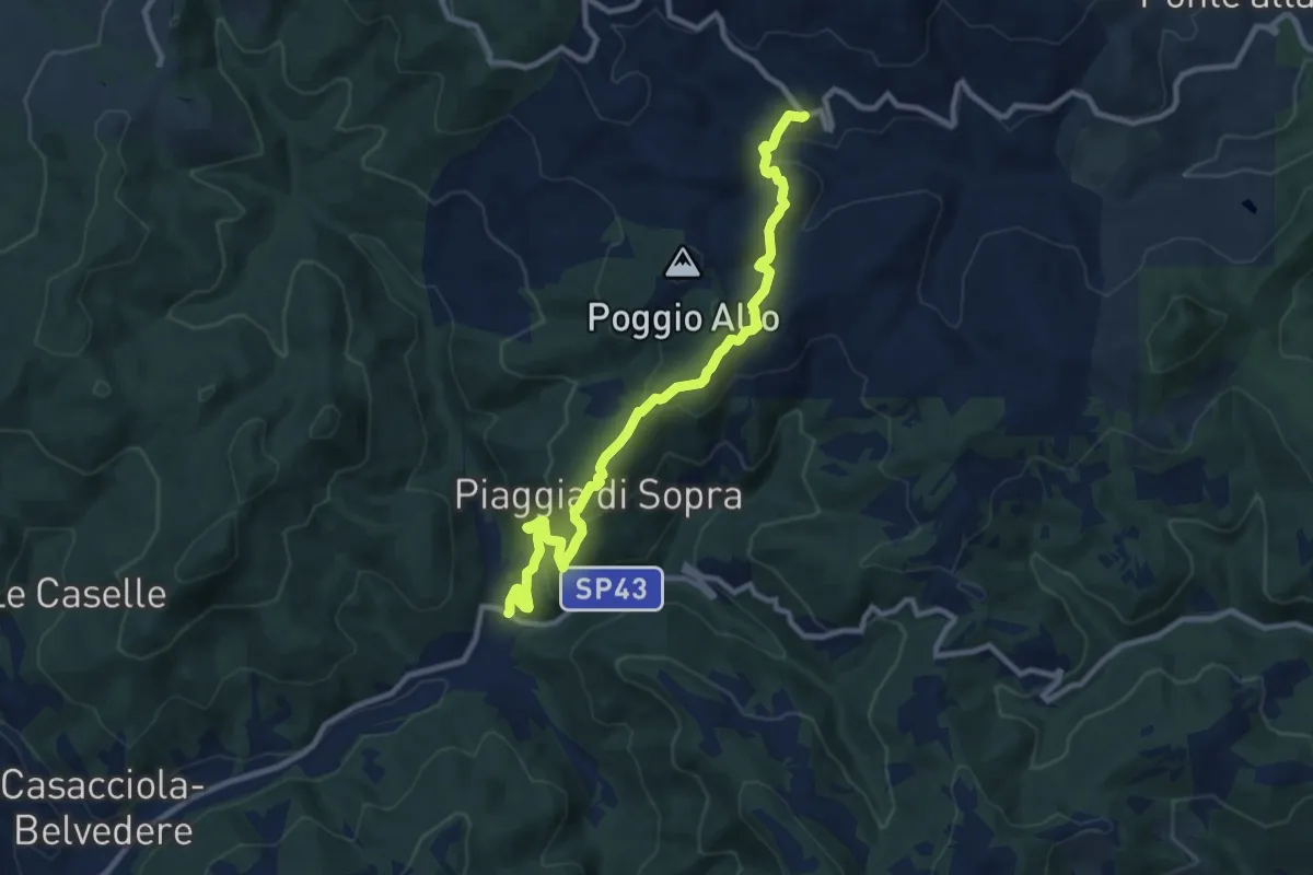
Medium · Trail
Chiaveretto – Savorgnano
10.8 km · ↑ 654 m · 3 h 58 min · 14 km away
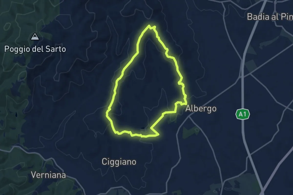
Medium · Trail
Percorso CAMPO ALLE ROSE
10.3 km · ↑ 252 m · 3 h 7 min · 14 km away
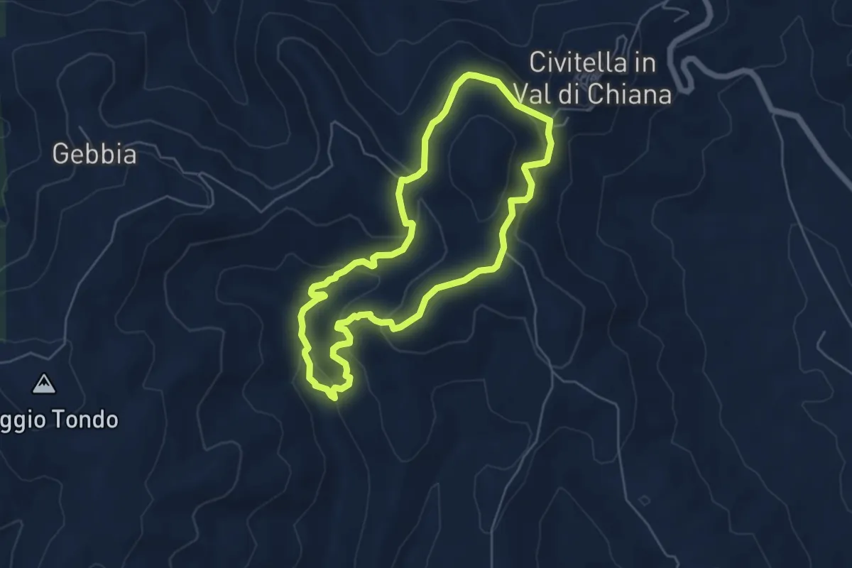
Easy · Trail
Percorso TROVE
5.2 km · ↑ 227 m · 1 h 48 min · 15 km away
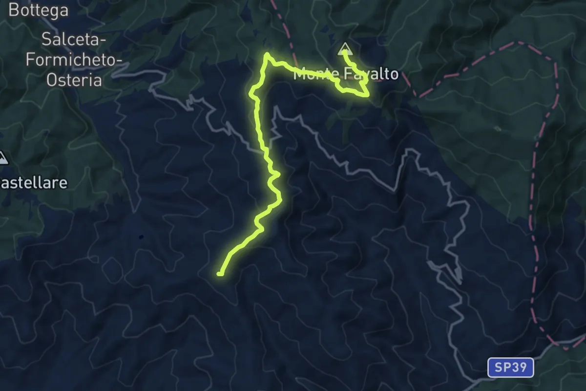
Medium · Summit
Sentiero 50 – Monte Favalto
13.6 km · ↑ 457 m · 4 h 12 min · 15 km away