Trails near Ascoli Piceno
39 hikes starting within 15 km, nearest first.
Nearest first
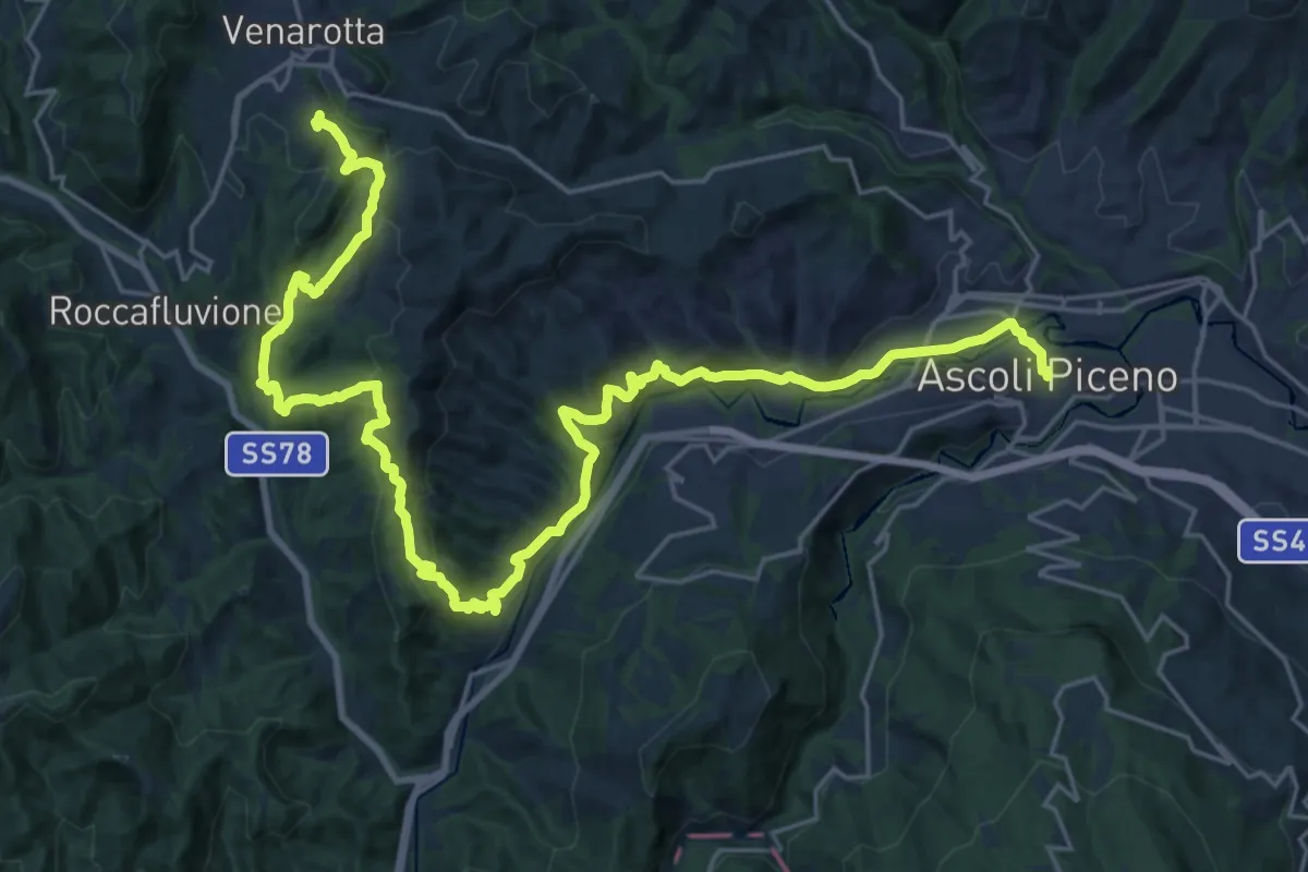
Demanding · Trail
Grande Anello dei Borghi Ascolani - Tappa 1
17.1 km · ↑ 846 m · 5 h 59 min · under 1 km away
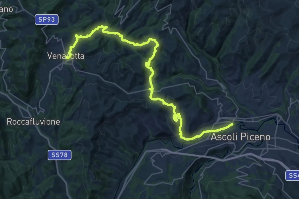
Medium · Trail
Cammino Francescano della Marca - Tappa 8
14.1 km · ↑ 682 m · 4 h 51 min · 1 km away
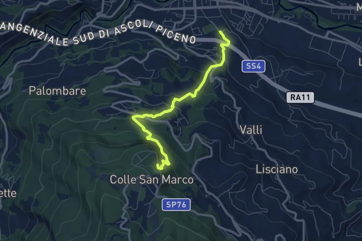
Medium · Trail
Ascoli Piceno (via Spalvieri) – Colle San Marco
7.1 km · ↑ 527 m · 2 h 50 min · 2 km away
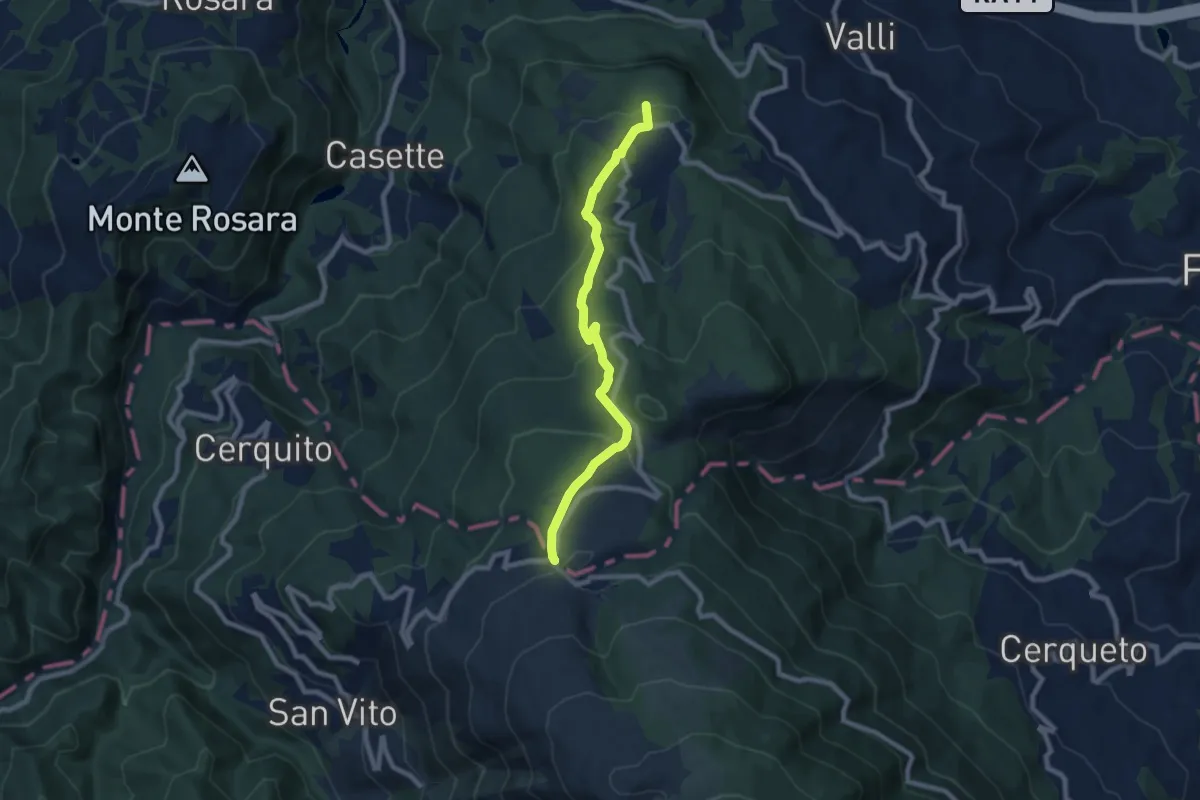
Medium · Trail
Ascoli – San Giacomo
8.3 km · ↑ 420 m · 2 h 52 min · 3 km away
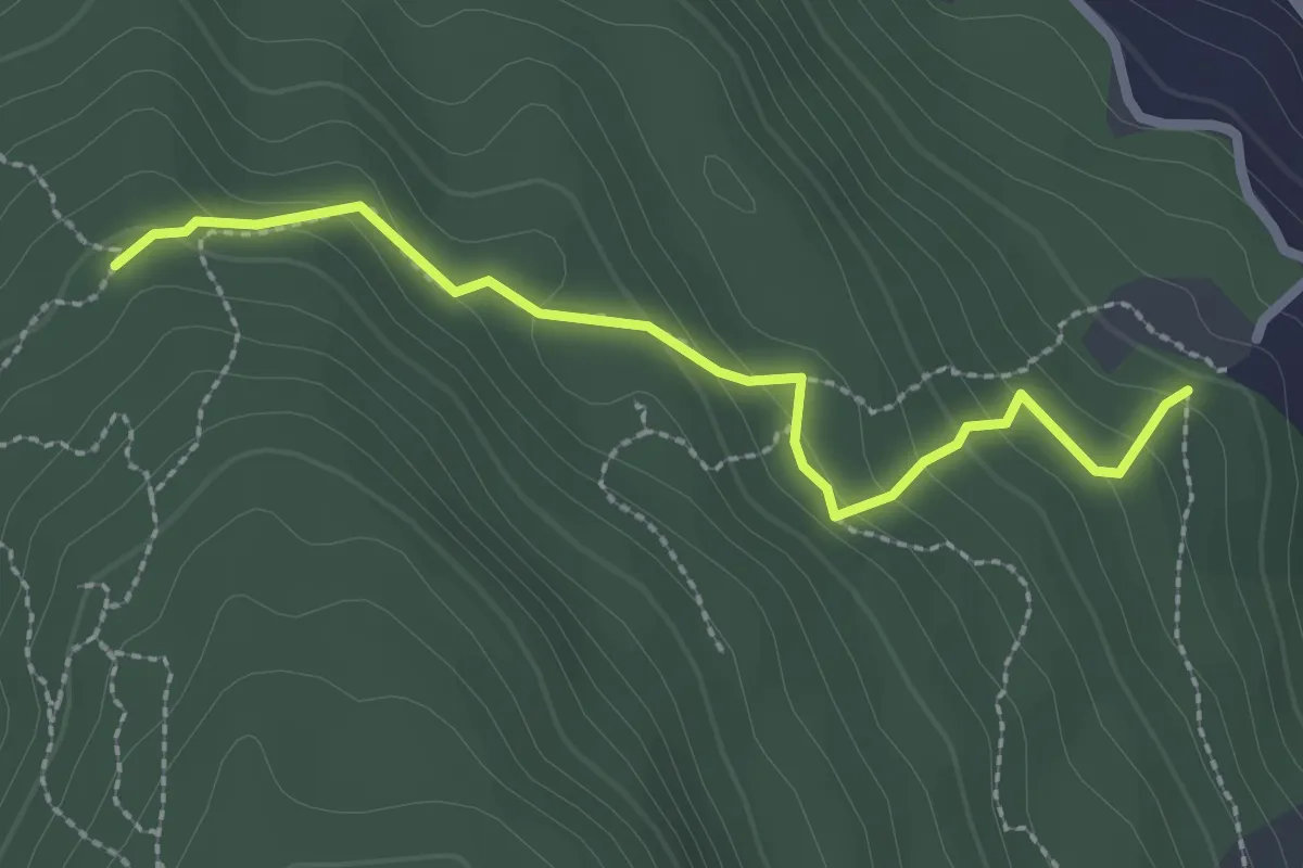
Easy · Trail
Segnavia N455 – Sentiero N458 (Colle)
2.7 km · ↑ 154 m · 58 min · 4 km away
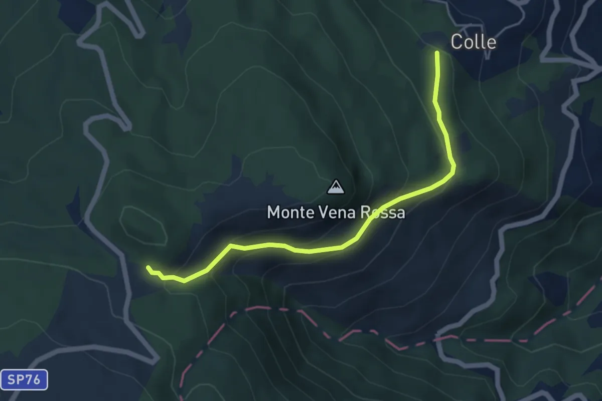
Medium · Trail
Colle – Giammatura
4.6 km · ↑ 286 m · 1 h 42 min · 4 km away
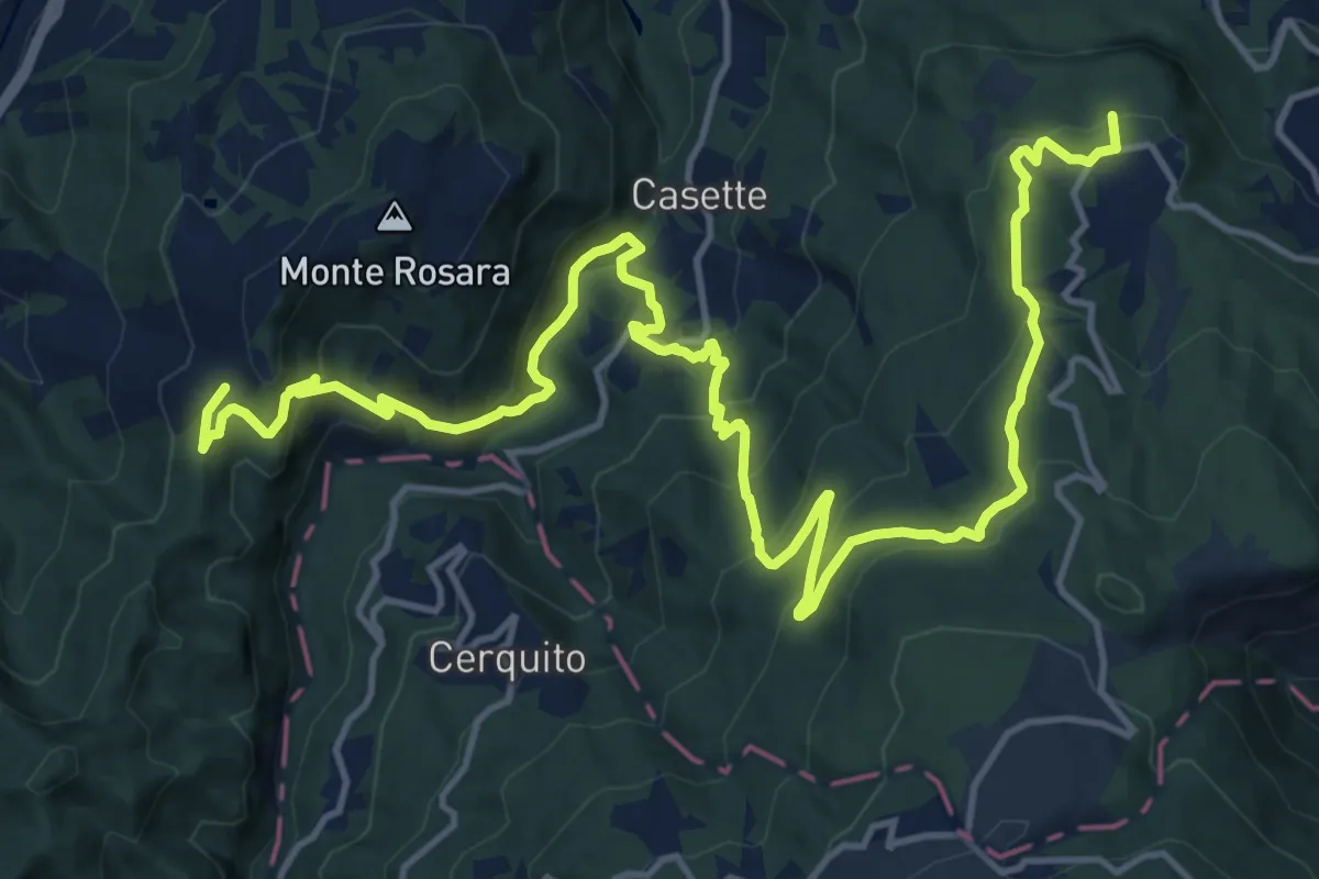
Demanding · Trail
Grande Anello dei Borghi Ascolani - Tappa 7
21.9 km · ↑ 1199 m · 7 h 46 min · 5 km away
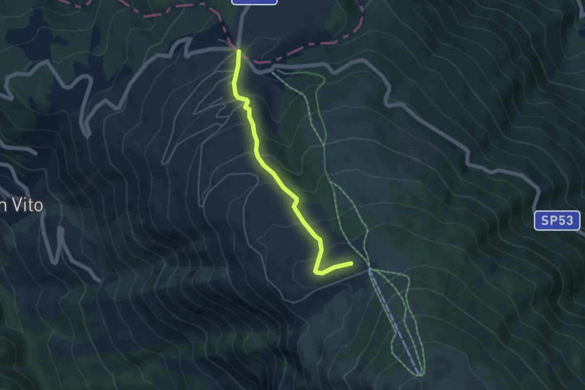
Medium · Trail
Sentiero Colle della Luna
4.2 km · ↑ 324 m · 1 h 42 min · 6 km away
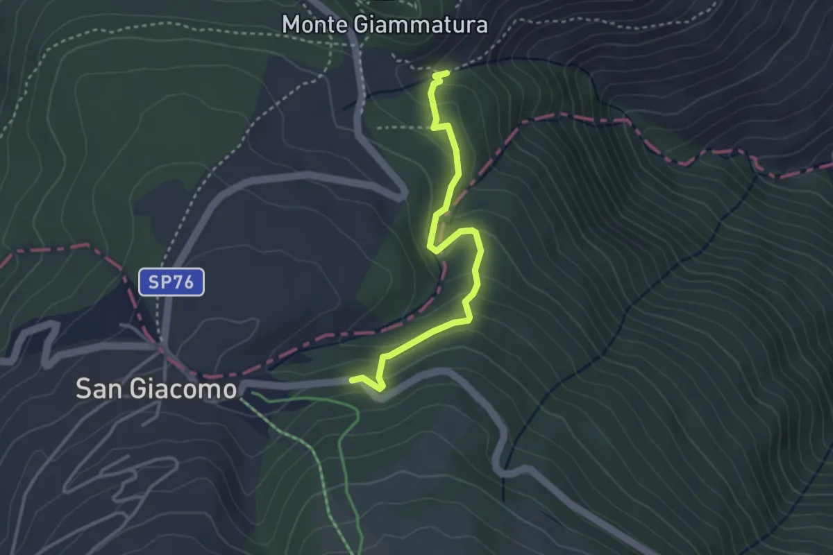
Easy · Trail
Cippo Caduti Giammatura – San Giacomo
3.3 km · ↑ 195 m · 1 h 12 min · 6 km away
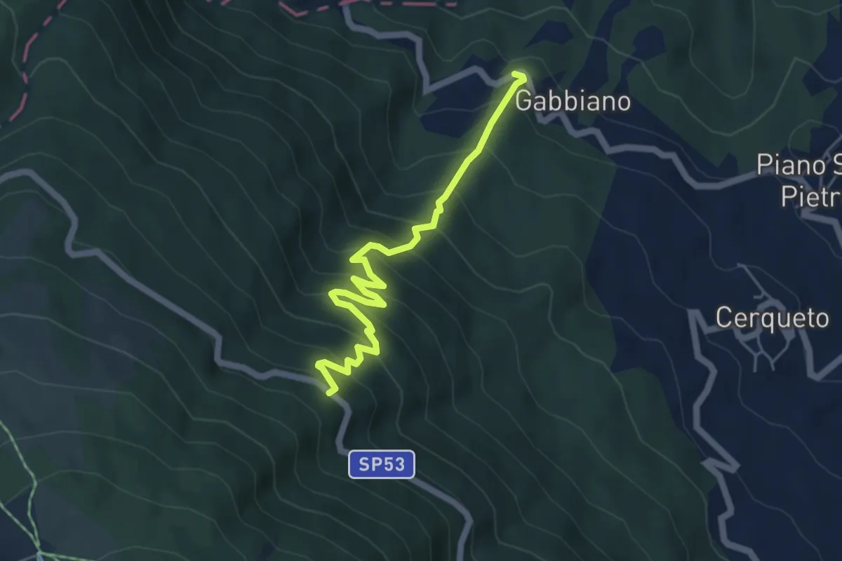
Medium · Trail
Gabbiano – sp 53
5.3 km · ↑ 565 m · 2 h 28 min · 6 km away
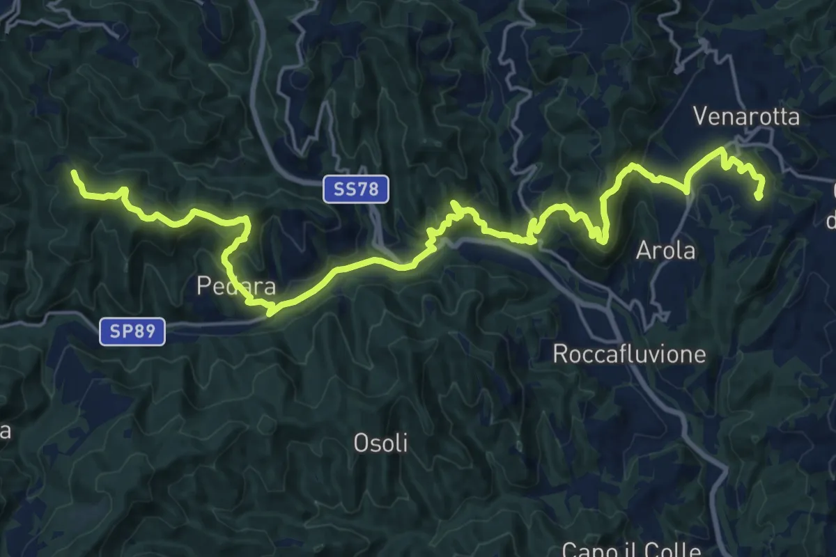
Medium · Trail
Grande Anello dei Borghi Ascolani - Tappa 2
13.0 km · ↑ 728 m · 4 h 43 min · 7 km away
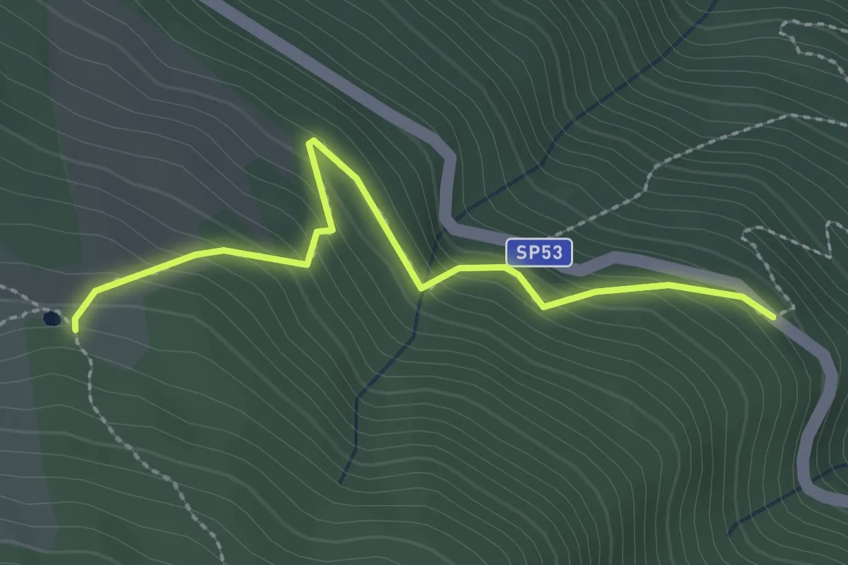
Easy · Trail
SP53 – Laghetto dei Tritoni
2.6 km · ↑ 234 m · 1 h 7 min · 7 km away
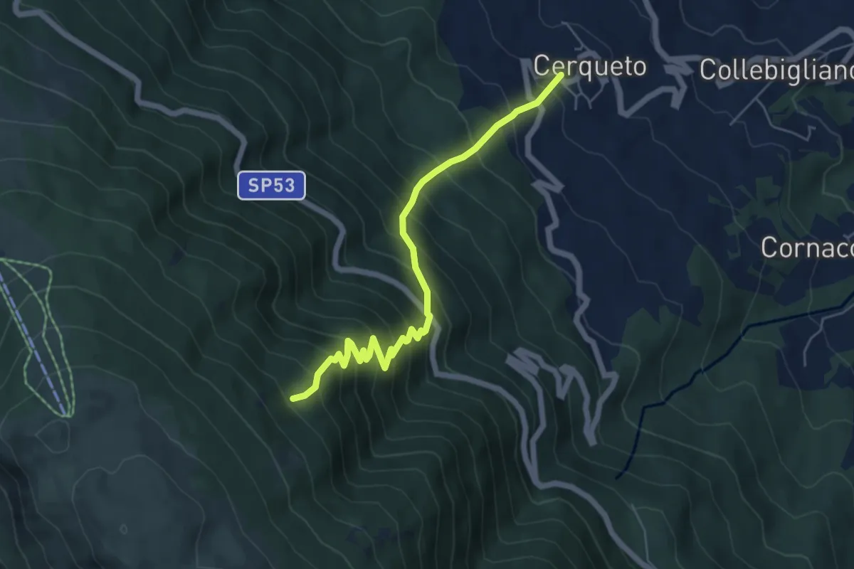
Medium · Trail
Cerqueto – sentiero 404
6.0 km · ↑ 756 m · 3 h 4 min · 7 km away
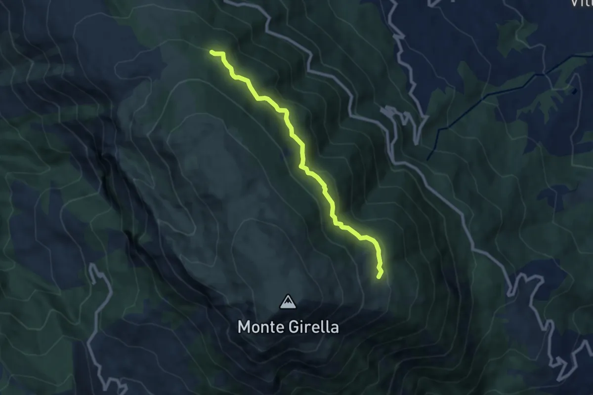
Medium · Trail
Segnavia Belvedere – Casali
7.3 km · ↑ 463 m · 2 h 44 min · 7 km away
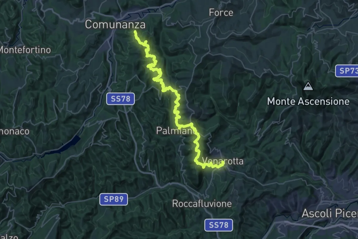
Demanding · Summit
Cammino Francescano della Marca - Tappa 7
38.1 km · ↑ 1625 m · 12 h 32 min · 7 km away
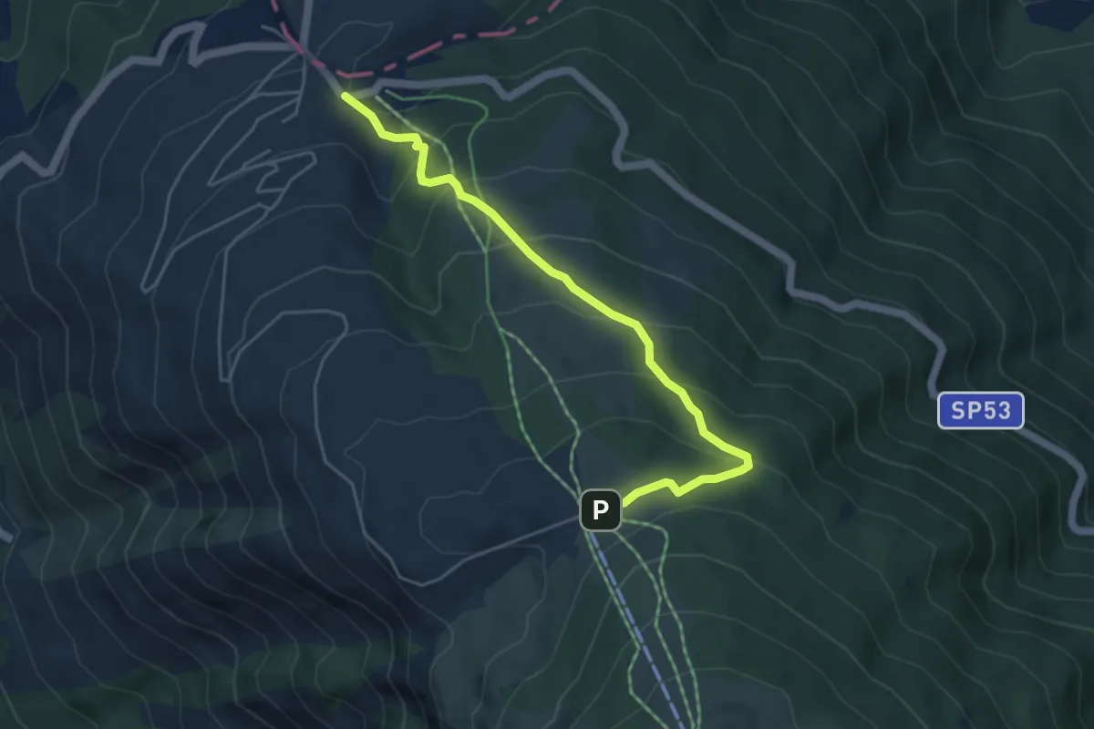
Medium · Trail
Sentiero dei Carbonari
5.1 km · ↑ 352 m · 1 h 58 min · 8 km away
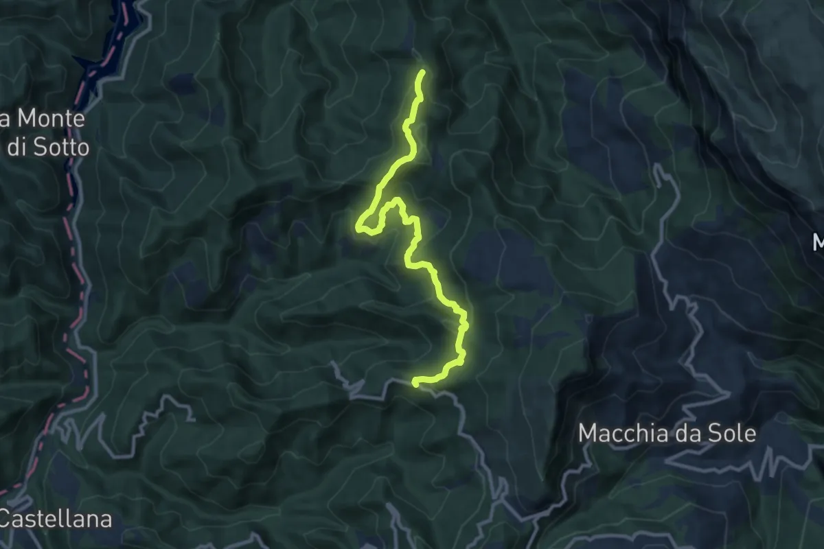
Medium · Trail
SP52 – Settecerri
10.6 km · ↑ 638 m · 3 h 54 min · 9 km away
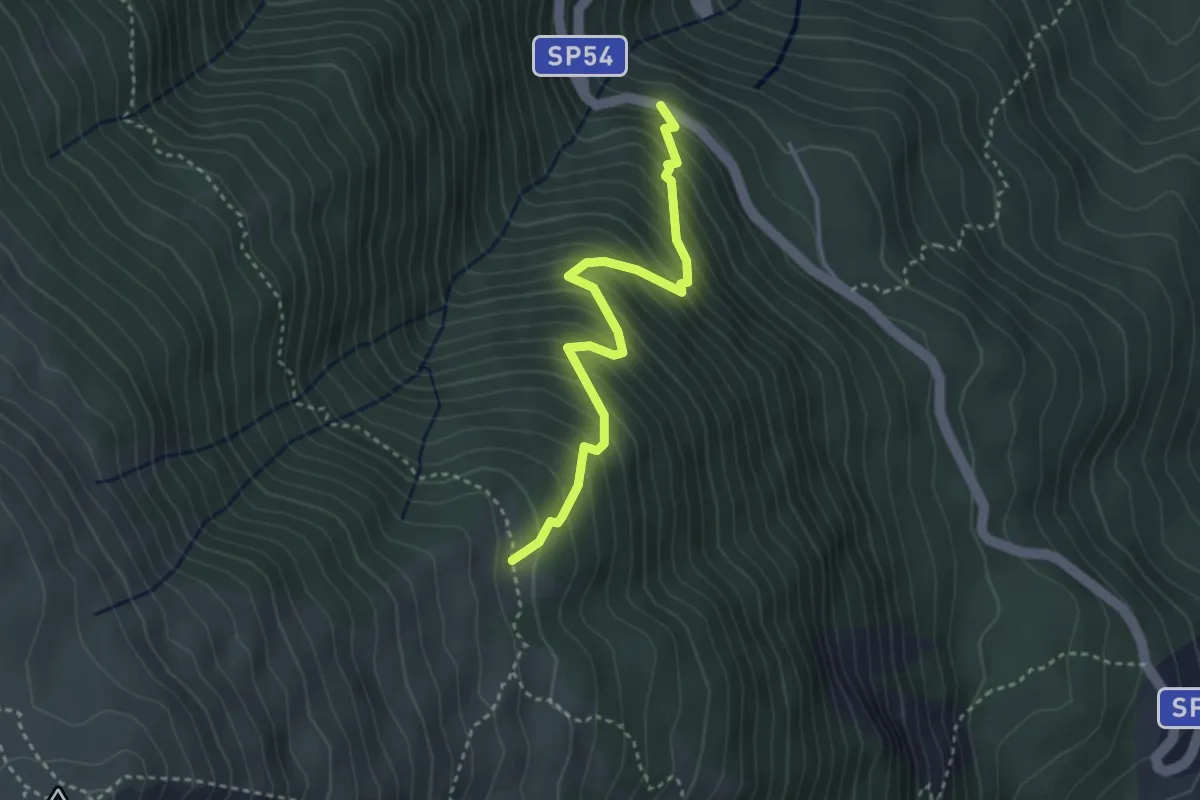
Medium · Trail
Casermette – Anello della Girella
3.5 km · ↑ 464 m · 1 h 49 min · 9 km away
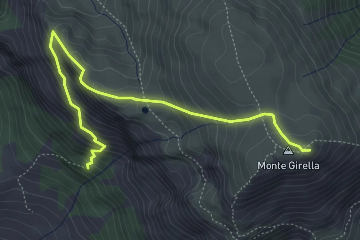
Medium · Summit
Fosso del Lago – Monte Girella
5.6 km · ↑ 518 m · 2 h 27 min · 10 km away
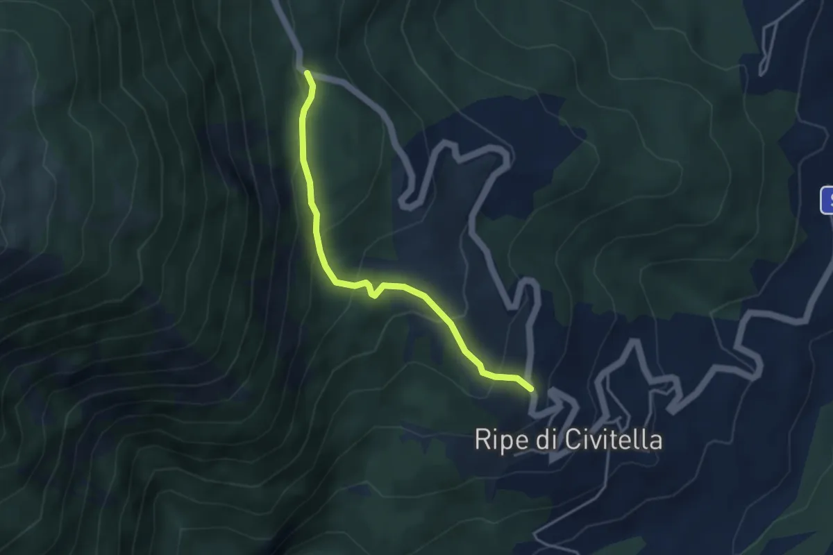
Easy · Trail
Zona Casali
3.6 km · ↑ 243 m · 1 h 22 min · 10 km away
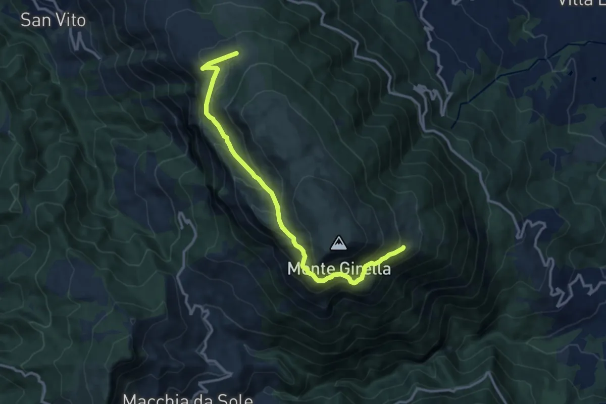
Medium · Trail
Tre Caciare – Cresta EST
11.6 km · ↑ 646 m · 4 h 8 min · 11 km away
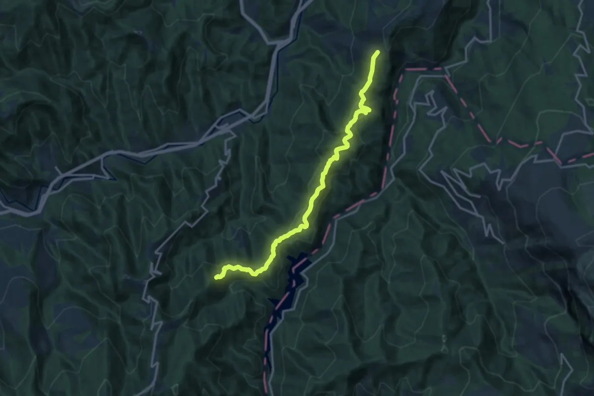
Medium · Trail
Grande Anello dei Borghi Ascolani - Tappa 6
14.2 km · ↑ 590 m · 4 h 38 min · 11 km away
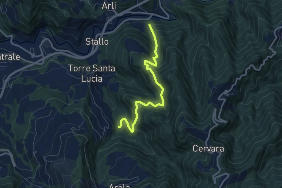
Medium · Trail
Ponte d'Arli – Mulino Piedicava
7.2 km · ↑ 534 m · 2 h 51 min · 11 km away
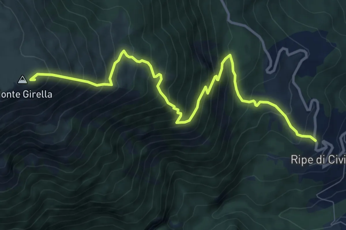
Demanding · Summit
Ripe – Monte Girella
9.9 km · ↑ 1155 m · 4 h 51 min · 12 km away
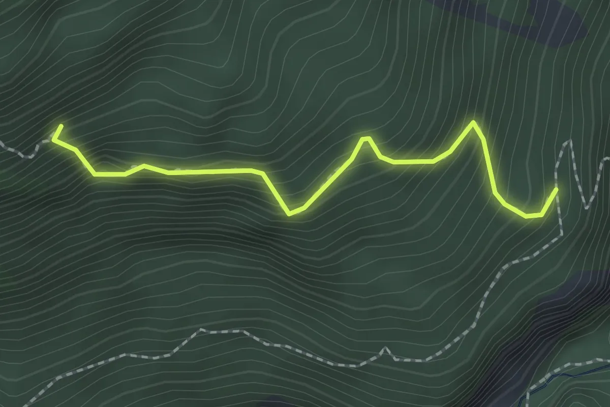
Medium · Trail
Percorso 411 – Eremo di S.M.Maddalena
2.0 km · ↑ 327 m · 1 h 11 min · 12 km away
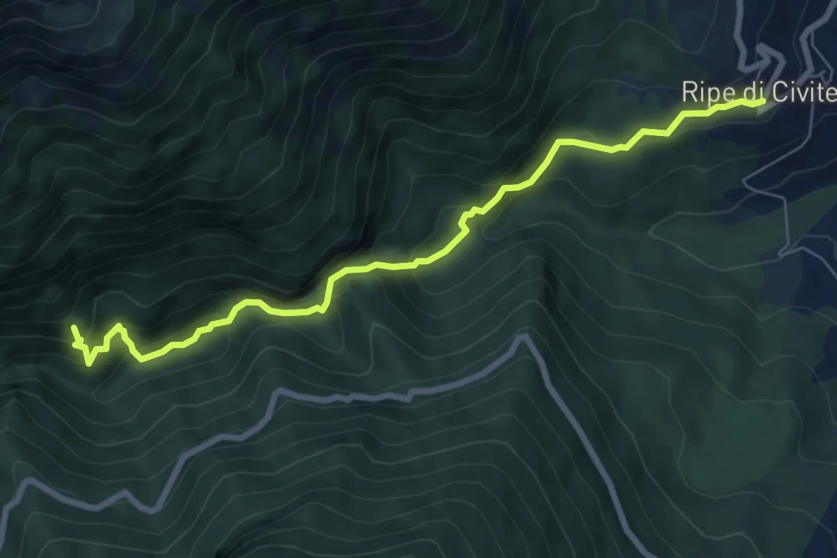
Demanding · Trail
Ripe – Gole del Salinello
7.3 km · ↑ 617 m · 3 h 4 min · 12 km away
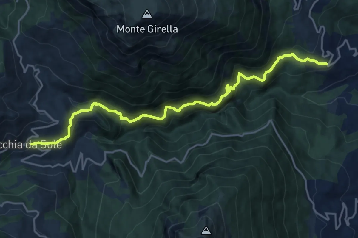
Demanding · Trail
Ripe – Macchie da Sole
13.6 km · ↑ 1104 m · 5 h 36 min · 12 km away
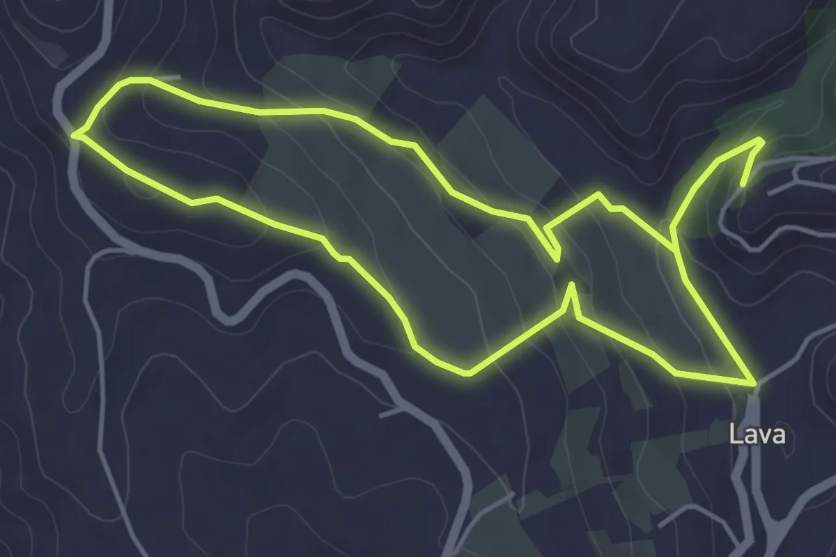
Easy · Trail
Anello Madonna Sanità
4.5 km · ↑ 225 m · 1 h 35 min · 12 km away
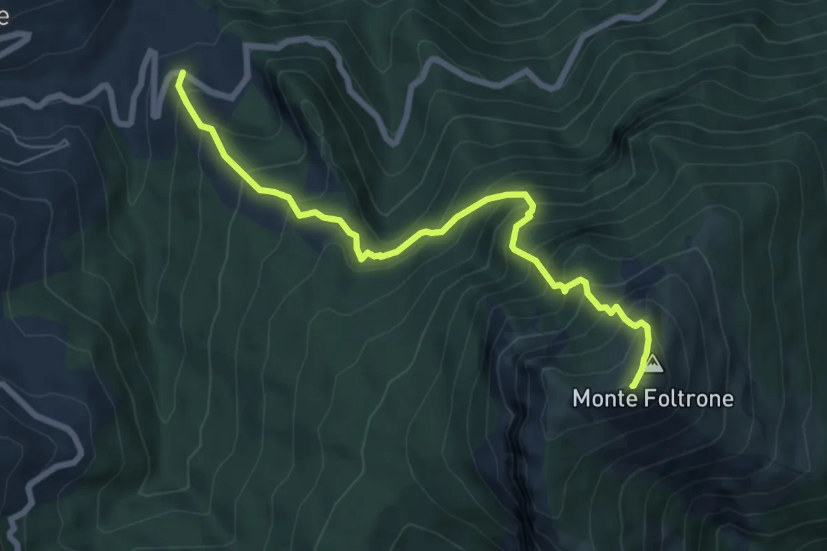
Demanding · Summit
SP52 – Monte Foltrone
6.7 km · ↑ 870 m · 3 h 28 min · 13 km away
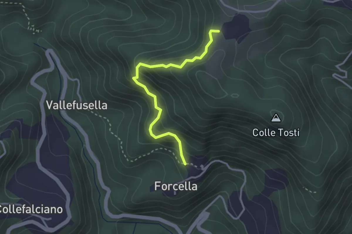
Easy · Trail
Forcella (Percorso 560) – Percorso 560
2.9 km · ↑ 301 m · 1 h 20 min · 13 km away
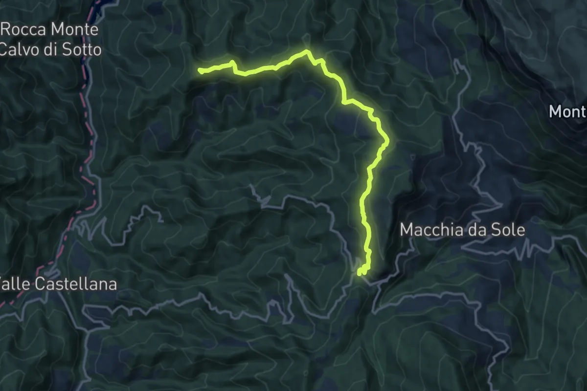
Medium · Summit
SP52 – Monte Capitone
13.4 km · ↑ 607 m · 4 h 28 min · 13 km away
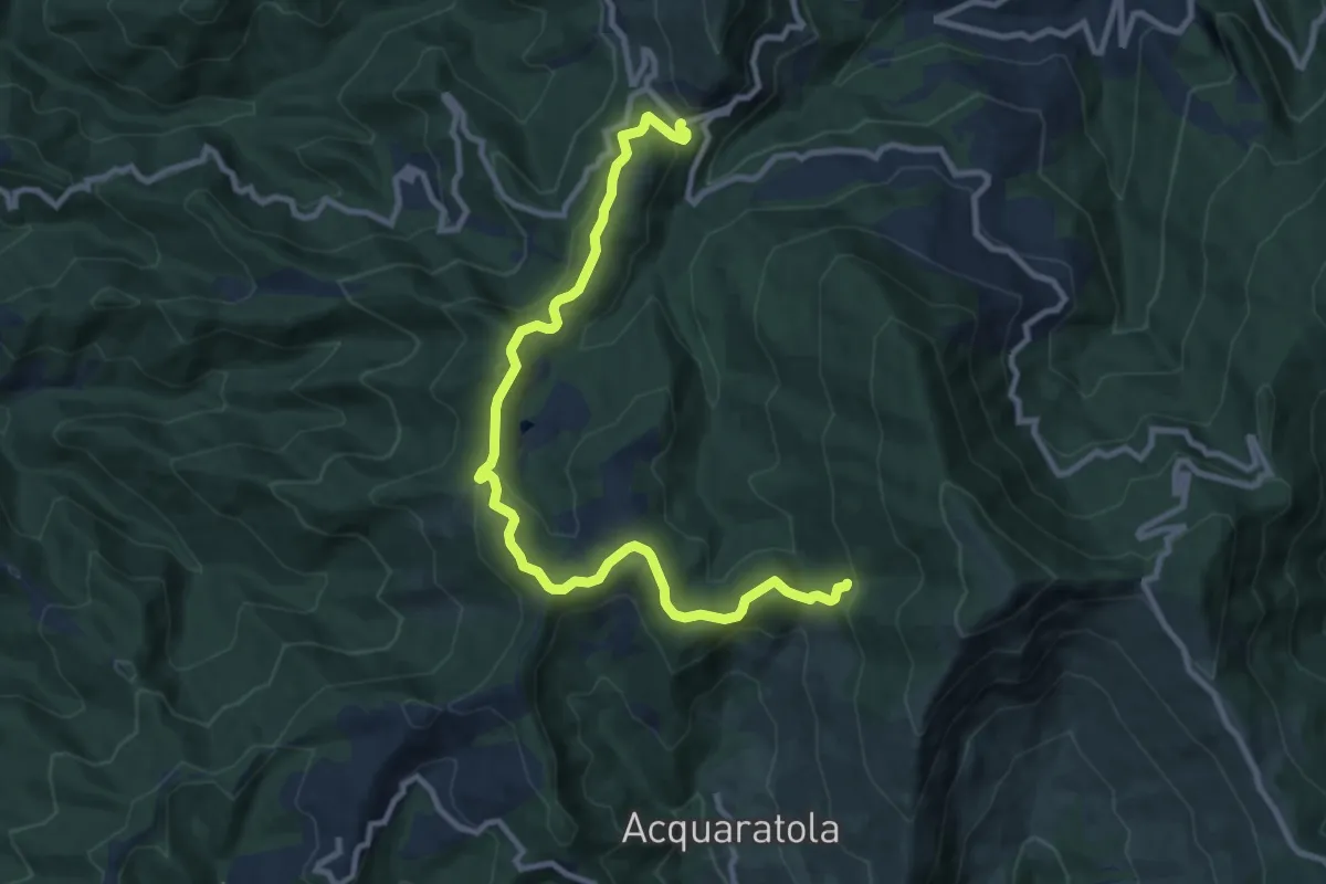
Medium · Trail
Casa CAI – Colle La Ciuffa
11.8 km · ↑ 437 m · 3 h 43 min · 13 km away
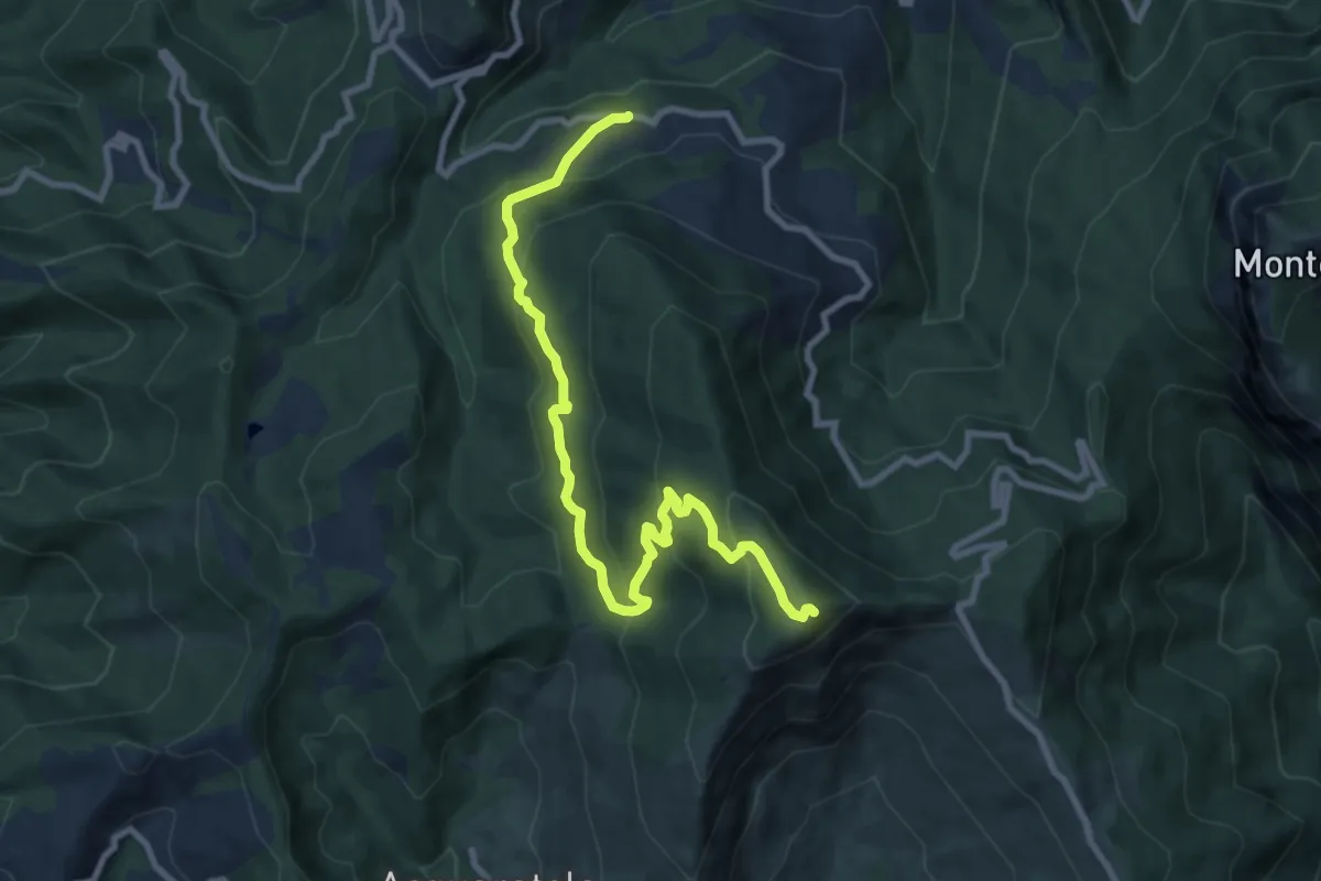
Medium · Summit
Bivio Piano Maggiore – Monte della Farina
10.6 km · ↑ 588 m · 3 h 46 min · 13 km away
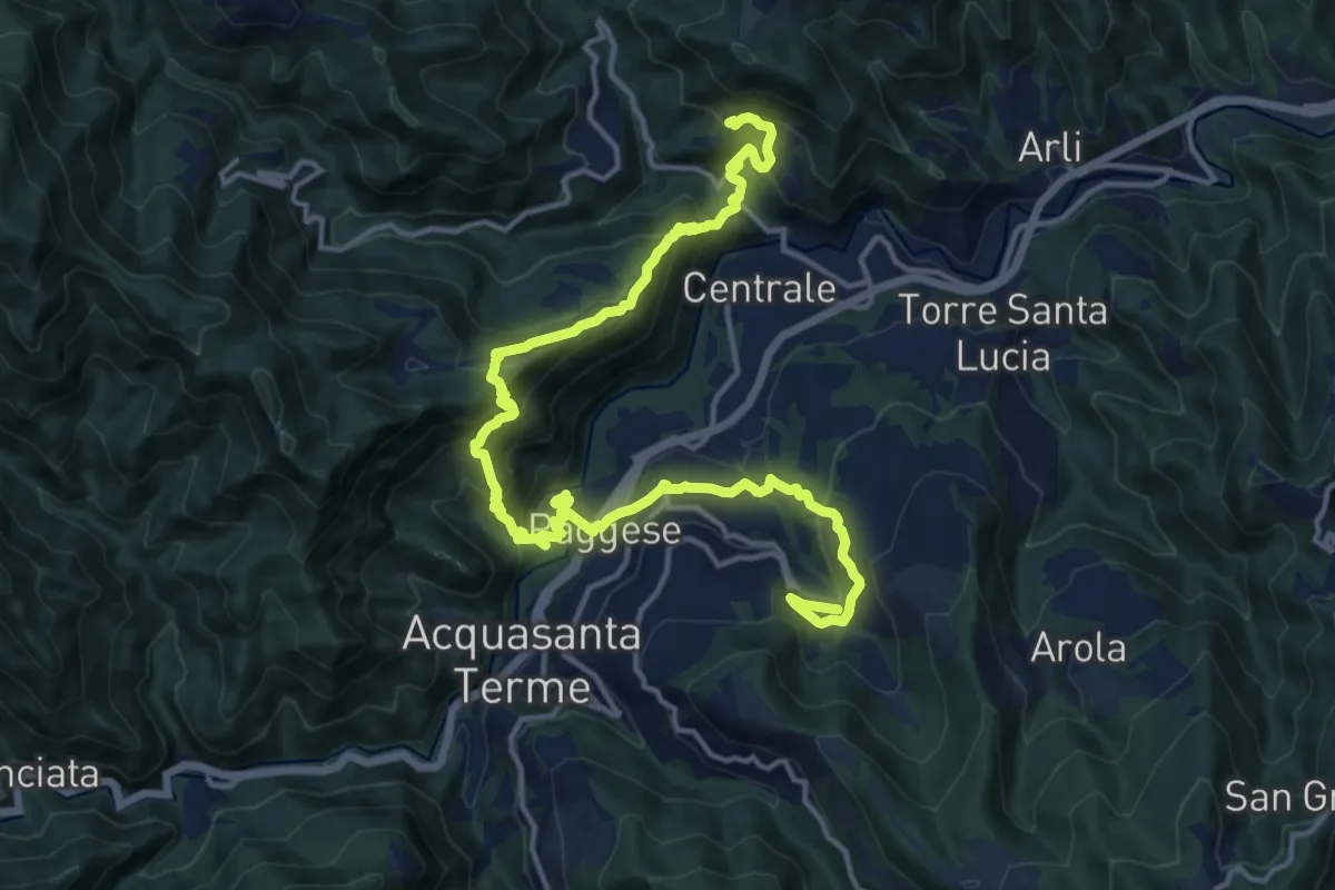
Demanding · Trail
Grande Anello dei Borghi Ascolani - Tappa 5
20.7 km · ↑ 1396 m · 7 h 55 min · 14 km away
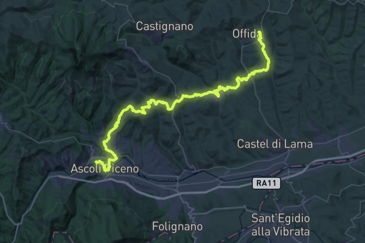
Demanding · Trail
Cammino dei Cappuccini - Tappa 17
26.1 km · ↑ 882 m · 8 h 31 min · 14 km away
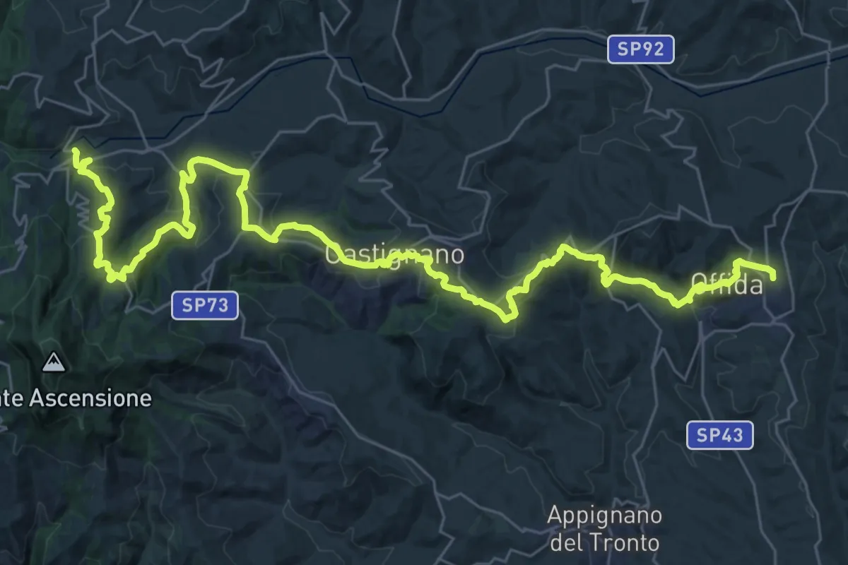
Demanding · Trail
Cammino dei Cappuccini - Tappa 16
21.9 km · ↑ 908 m · 7 h 24 min · 14 km away
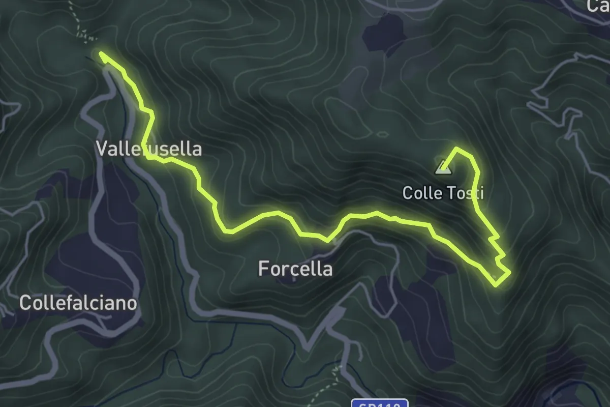
Medium · Summit
Percorso 525 – Sala
6.0 km · ↑ 344 m · 2 h 10 min · 14 km away
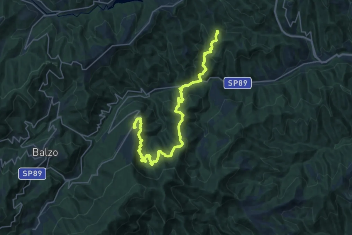
Medium · Trail
Grande Anello dei Borghi Ascolani - Tappa 3
10.8 km · ↑ 758 m · 4 h 15 min · 14 km away
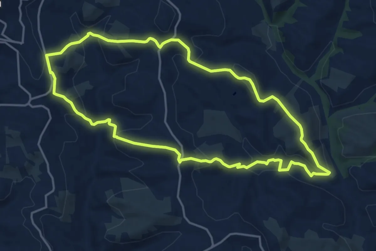
Medium · Trail
Anello Scordella - San Filippo
11.8 km · ↑ 479 m · 3 h 59 min · 15 km away