Trails near Atessa
19 hikes starting within 15 km, nearest first.
Nearest first
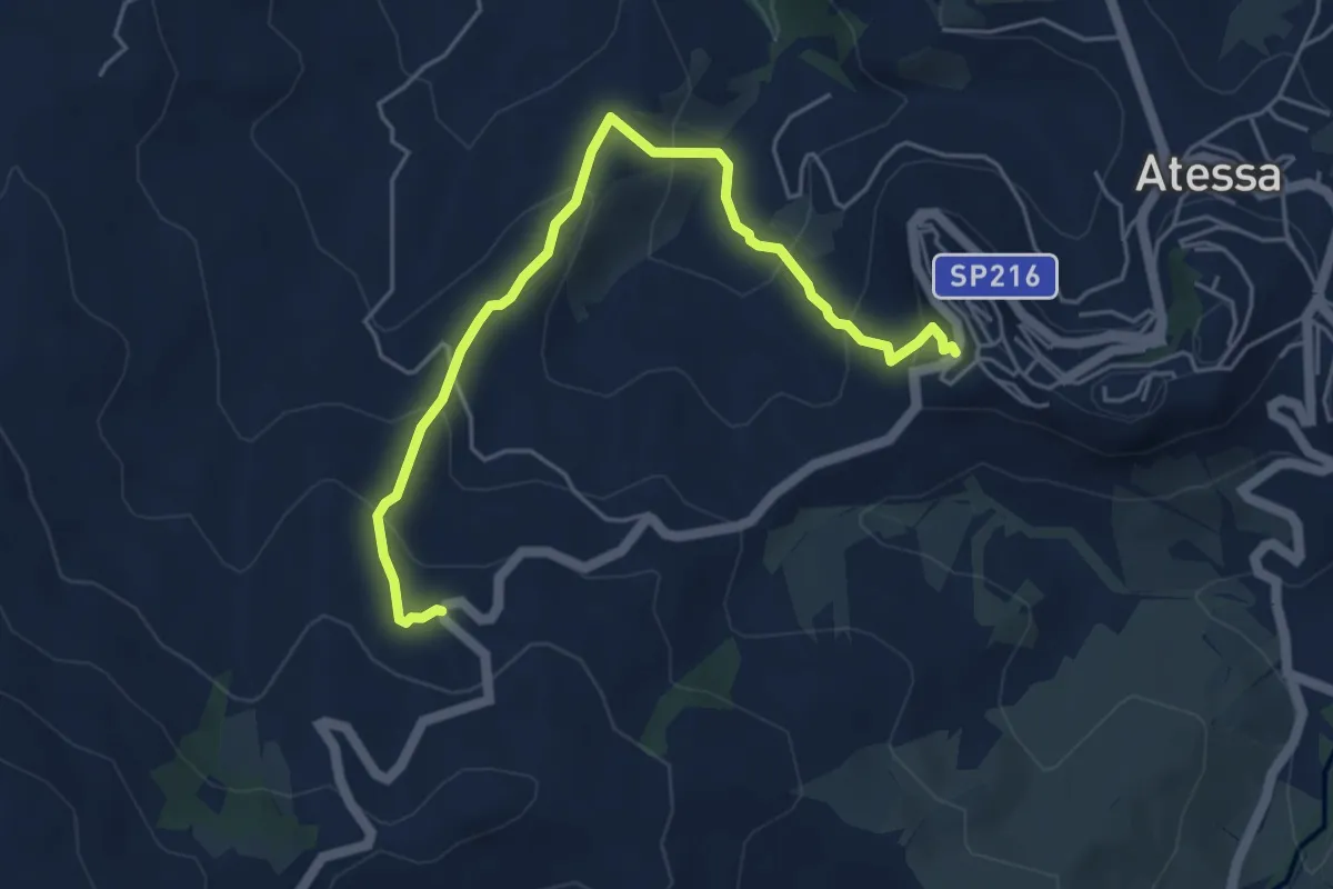
Medium · Trail
Parco di Sant'Antonio – Sede CAI ATESSA
5.8 km · ↑ 348 m · 2 h 8 min · 1 km away
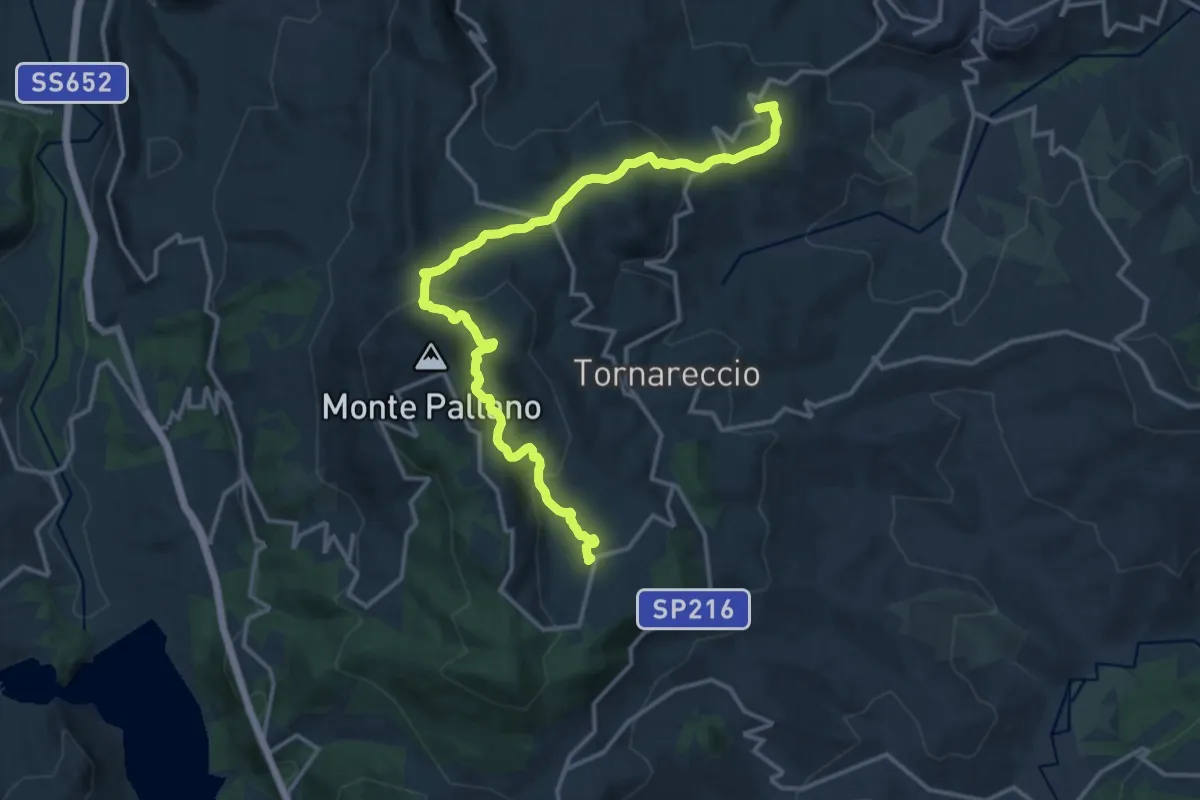
Medium · Trail
Convento San Pasquale – ex Centro Visite
17.5 km · ↑ 670 m · 5 h 35 min · 2 km away
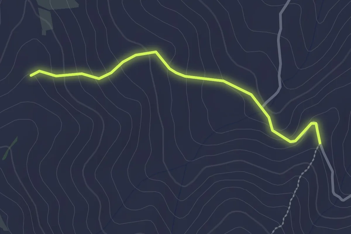
Easy · Trail
Bv. Sentiero 507 – Bv. Sentiero 508
2.8 km · ↑ 130 m · 56 min · 3 km away
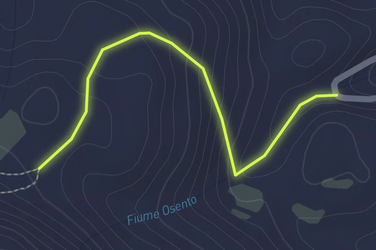
Easy · Trail
Tornareccio – Sentiero 501
2.5 km · ↑ 132 m · 53 min · 6 km away
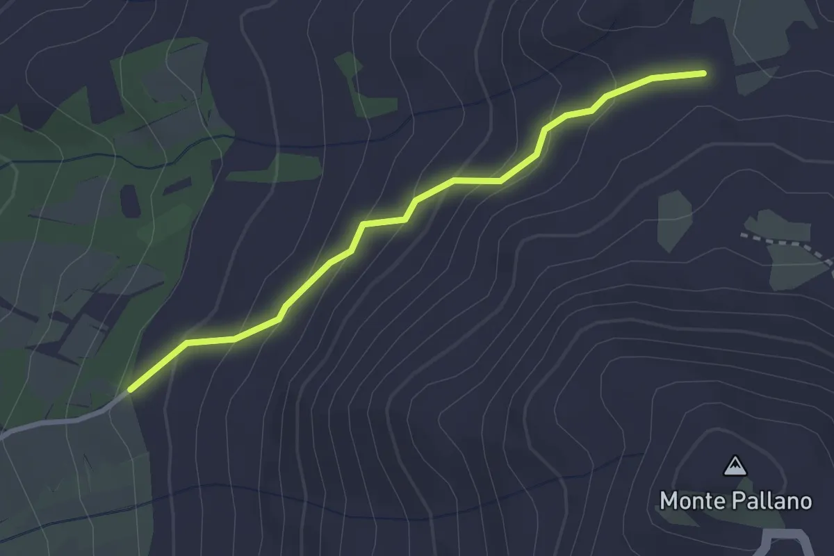
Easy · Trail
Sentiero 502A
2.9 km · ↑ 189 m · 1 h 5 min · 6 km away
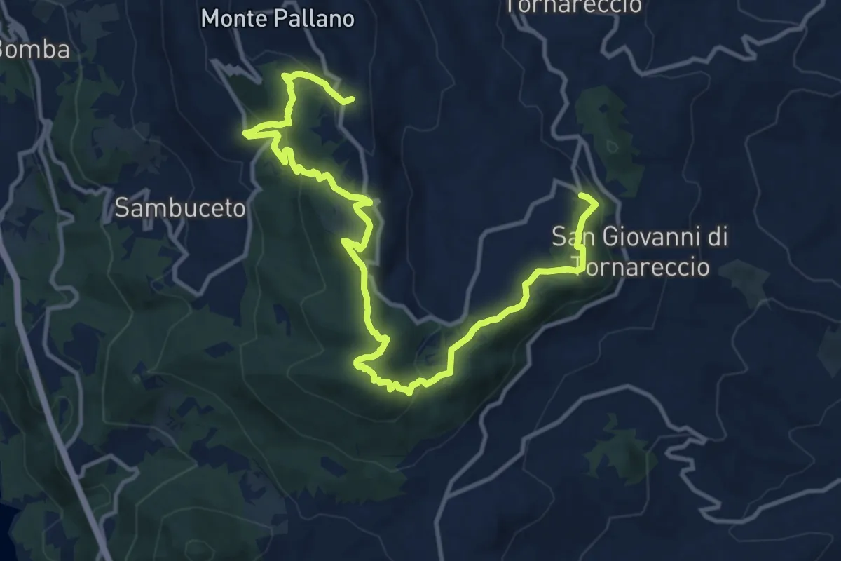
Medium · Trail
Area Sportiva Tornareccio – Mura Megalitiche
15.8 km · ↑ 597 m · 5 h 1 min · 6 km away
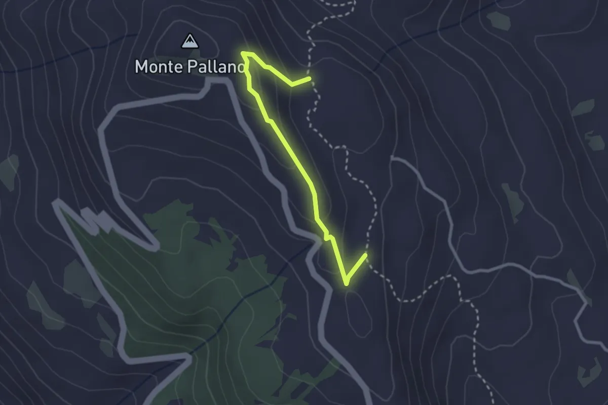
Easy · Trail
Sentiero 501 – Sentiero 501
2.7 km · ↑ 123 m · 55 min · 6 km away
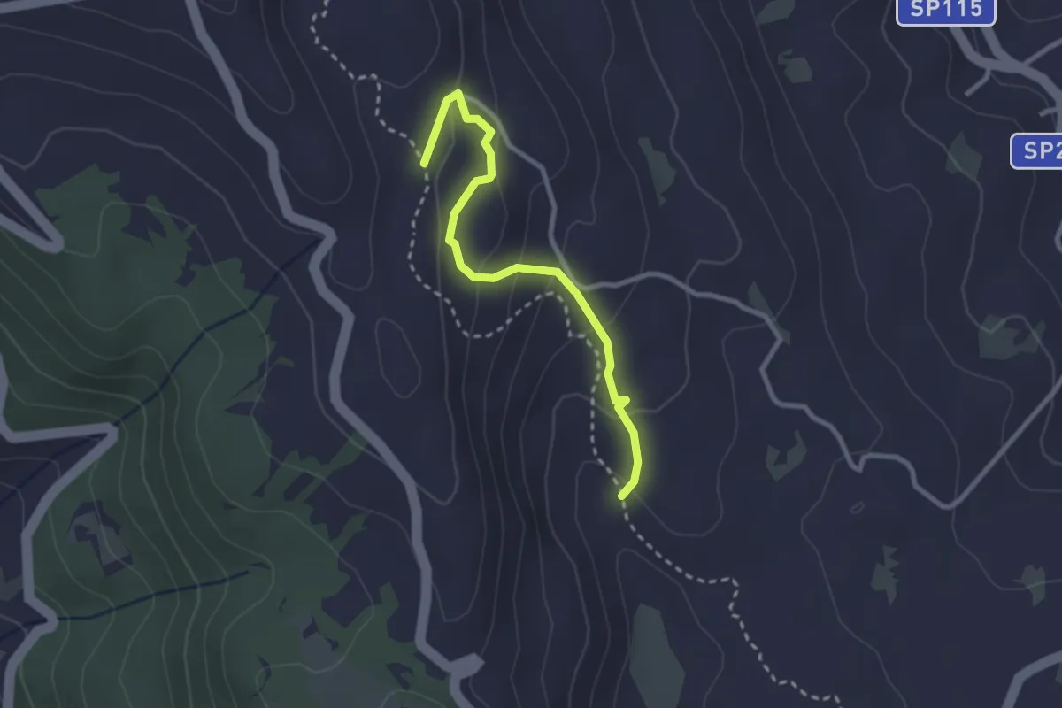
Easy · Trail
Sentiero 501 – Sentiero 501
2.9 km · ↑ 156 m · 1 h 1 min · 6 km away
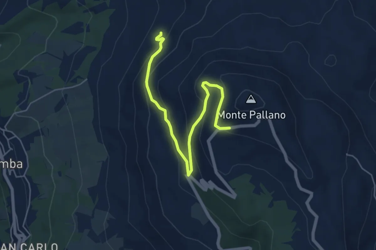
Easy · Trail
Sentiero 502B
5.2 km · ↑ 300 m · 1 h 53 min · 6 km away
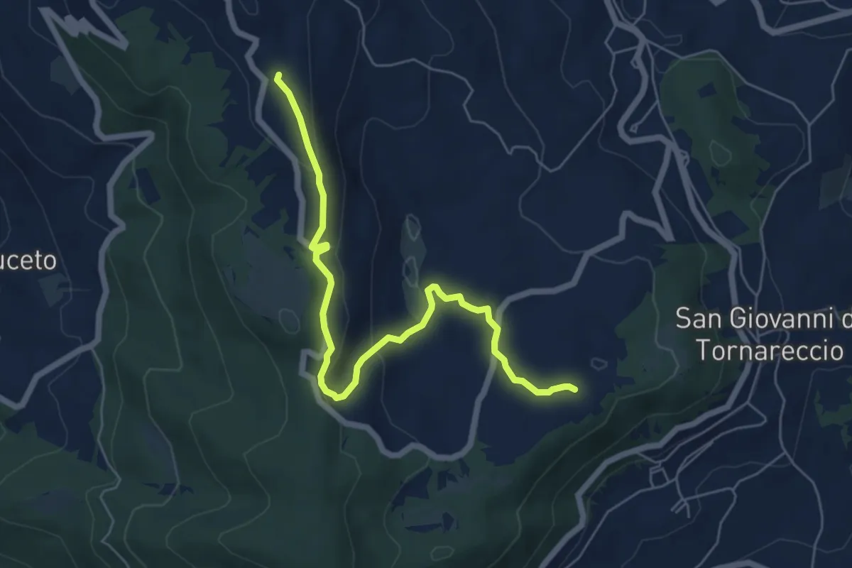
Easy · Trail
Sentiero dei Ciclamini
6.8 km · ↑ 209 m · 2 h 3 min · 7 km away
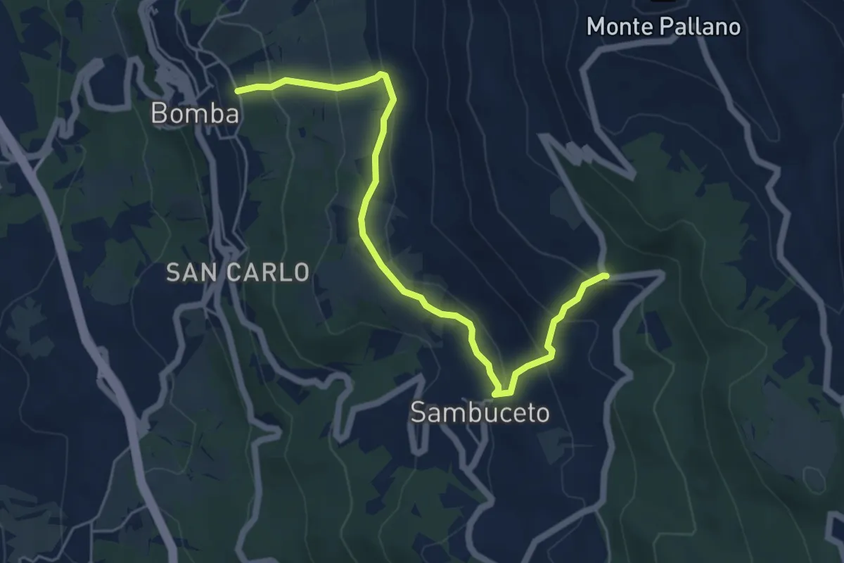
Medium · Trail
Sentiero 506
5.9 km · ↑ 375 m · 2 h 13 min · 7 km away
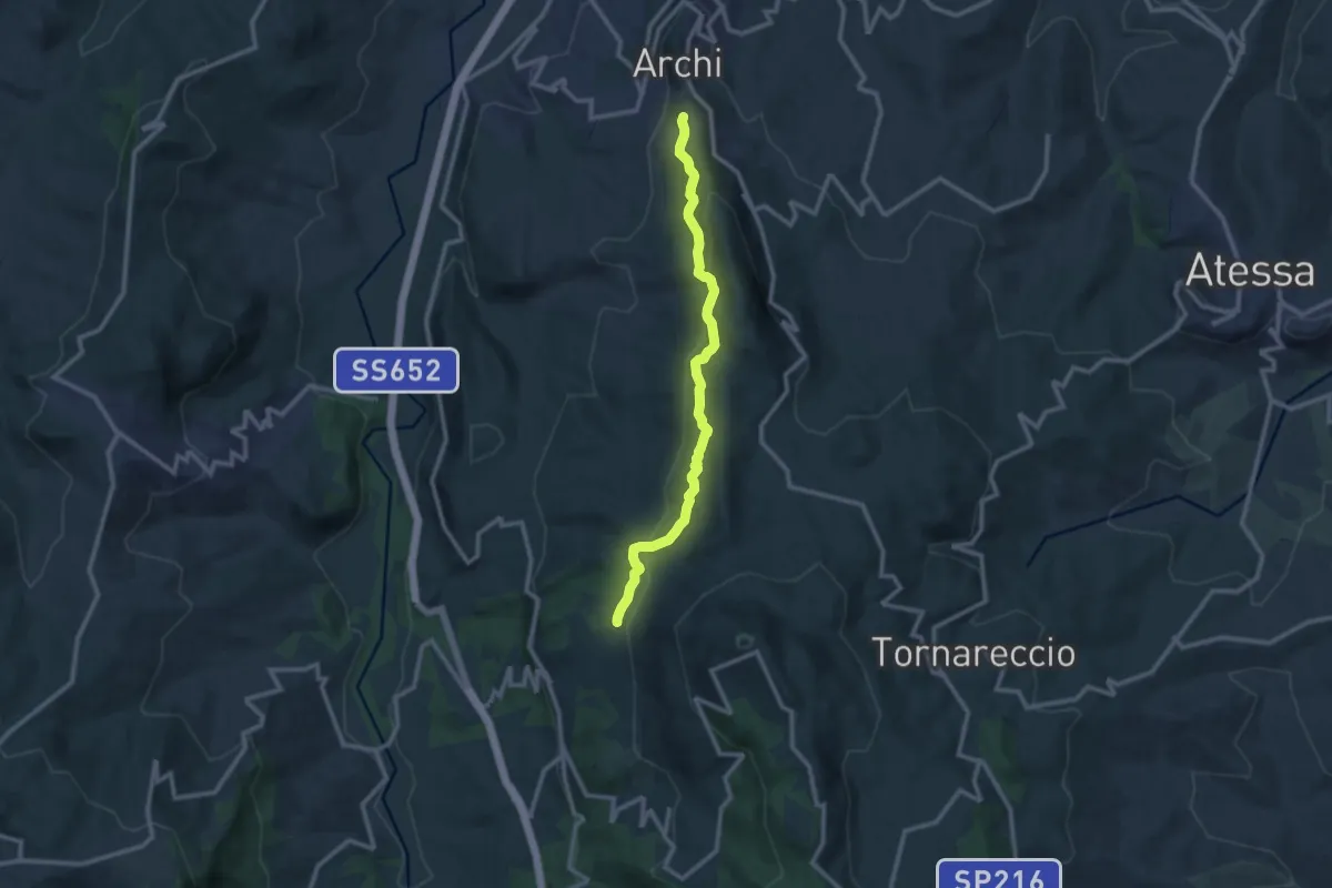
Medium · Trail
Sentiero 502
11.7 km · ↑ 393 m · 3 h 37 min · 7 km away
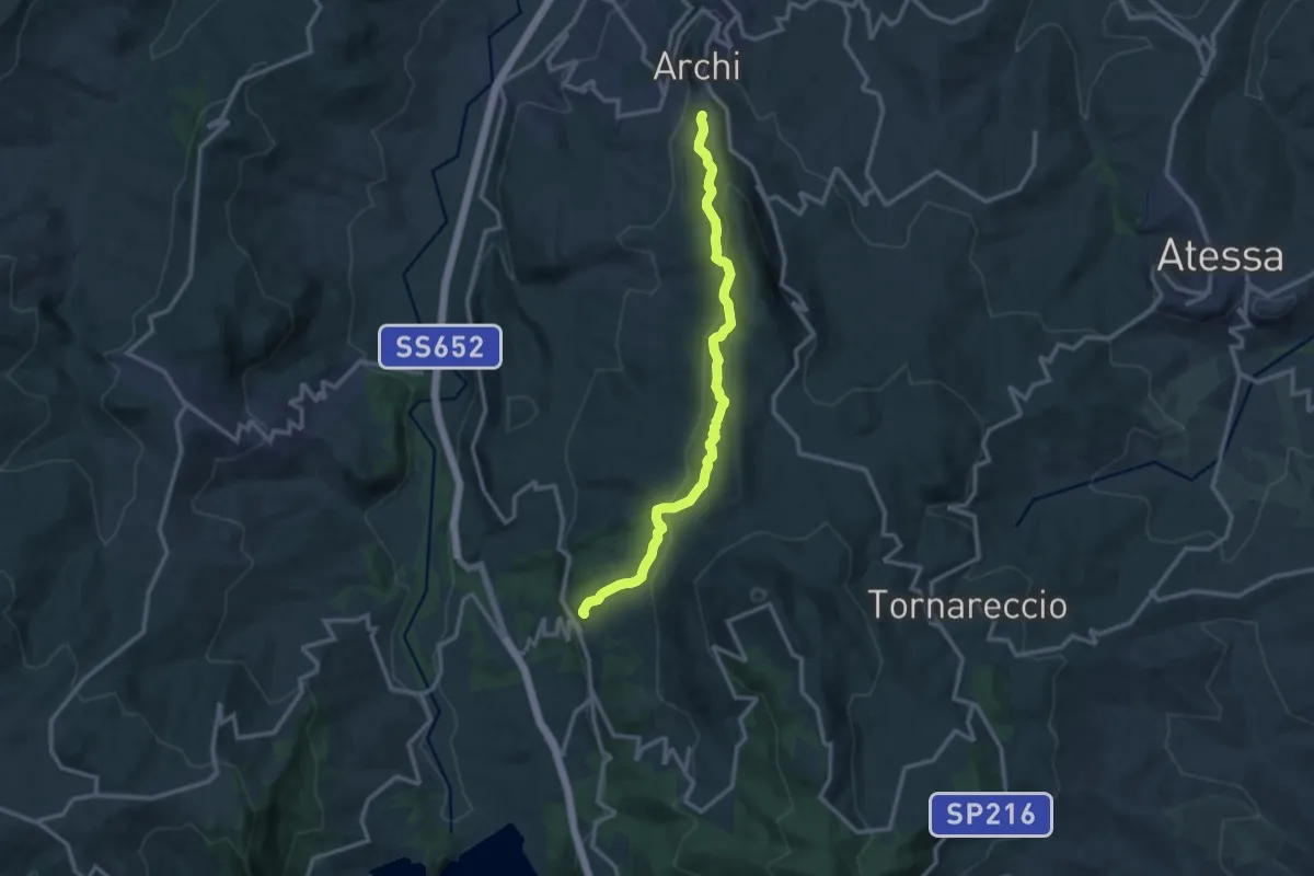
Medium · Trail
Centro Storico di Archi – Bomba
13.3 km · ↑ 487 m · 4 h 11 min · 8 km away
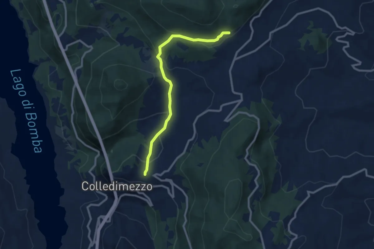
Medium · Trail
Chiesa di Sant'Antonio – Casanatura Fontecampana
7.2 km · ↑ 327 m · 2 h 25 min · 8 km away
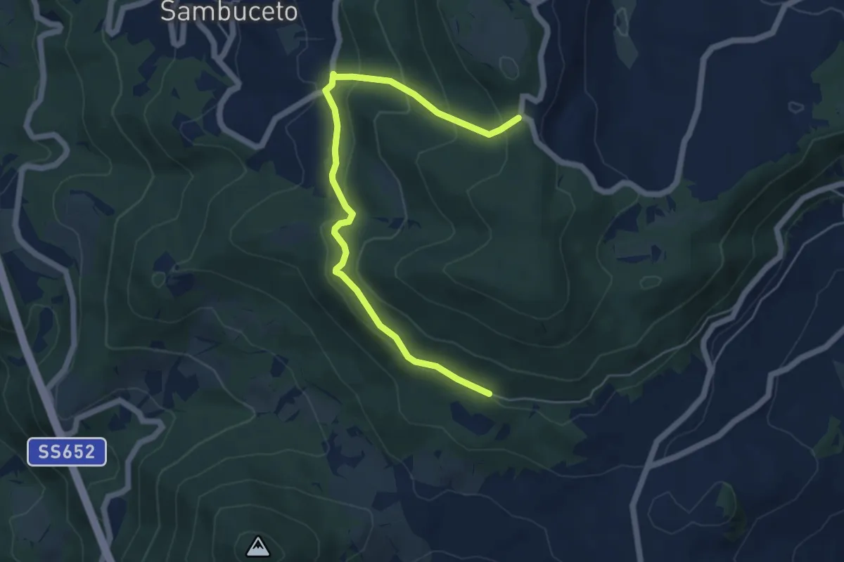
Medium · Trail
Casanatura – Chiesetta degli Alpini
6.1 km · ↑ 361 m · 2 h 14 min · 8 km away
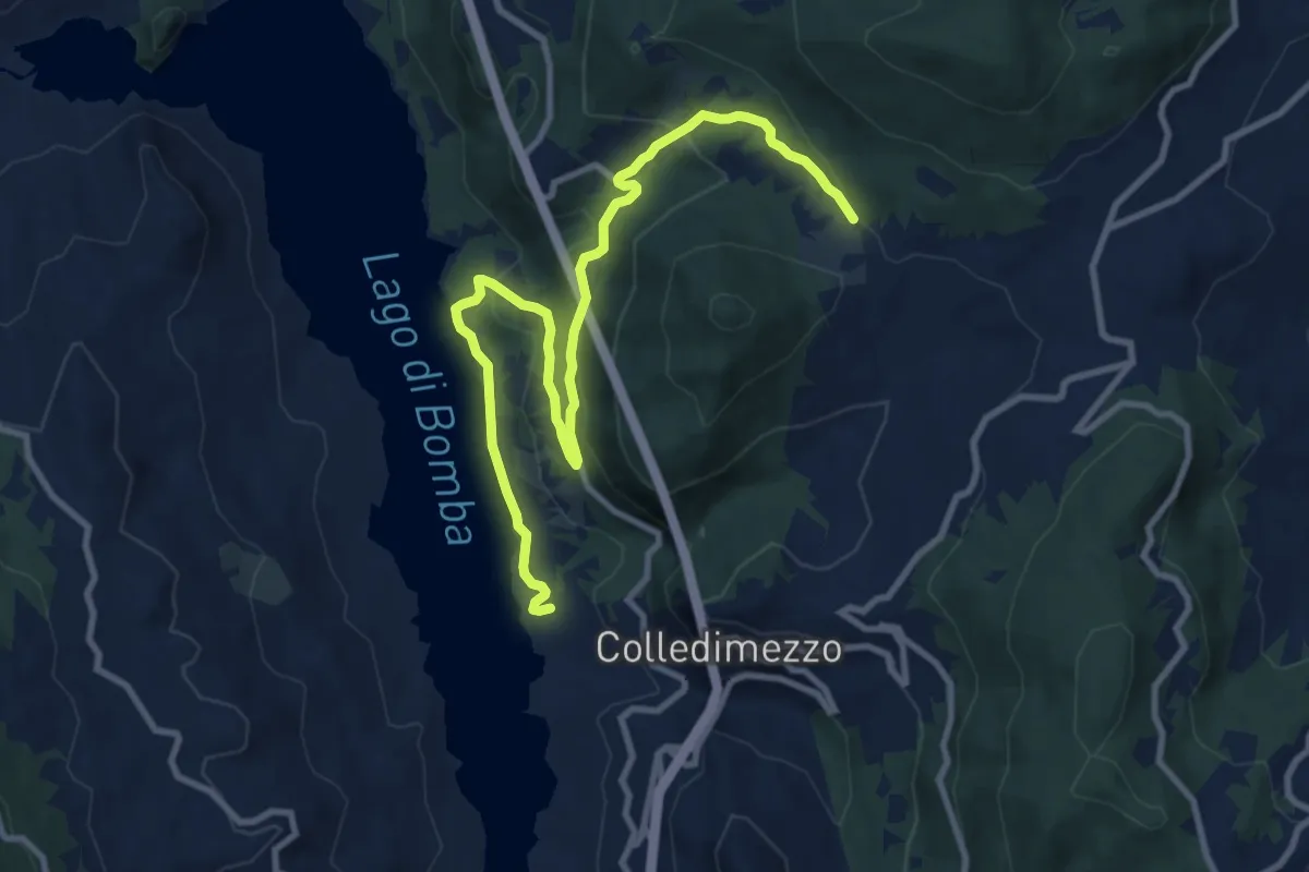
Medium · Trail
Colle Butino – Centro Turistico Isola Verde
12.7 km · ↑ 457 m · 4 h · 9 km away
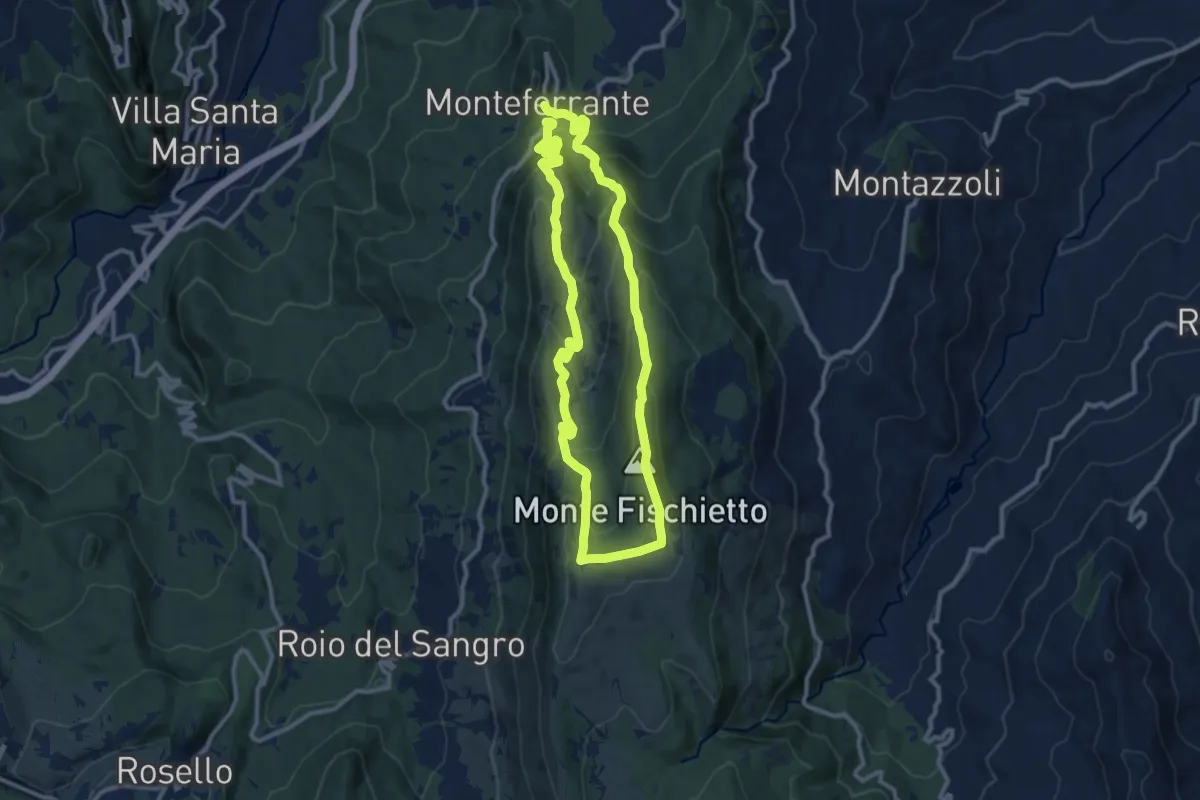
Medium · Summit
Anello di Monte Fischietto
10.8 km · ↑ 681 m · 4 h 11 min · 14 km away
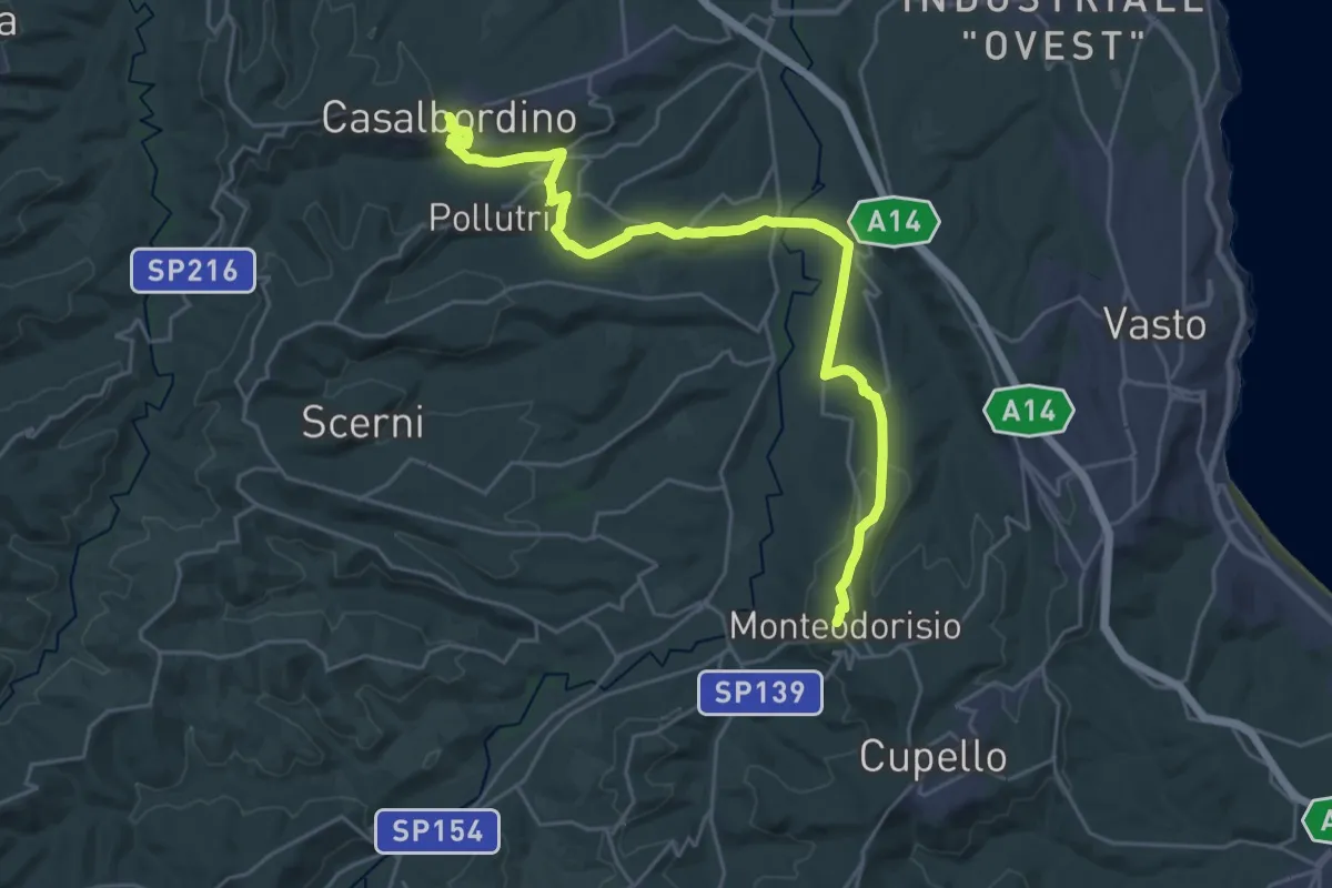
Medium · Pilgrim path
Cammino della Pace - Tappa 18
15.0 km · ↑ 396 m · 4 h 33 min · 14 km away
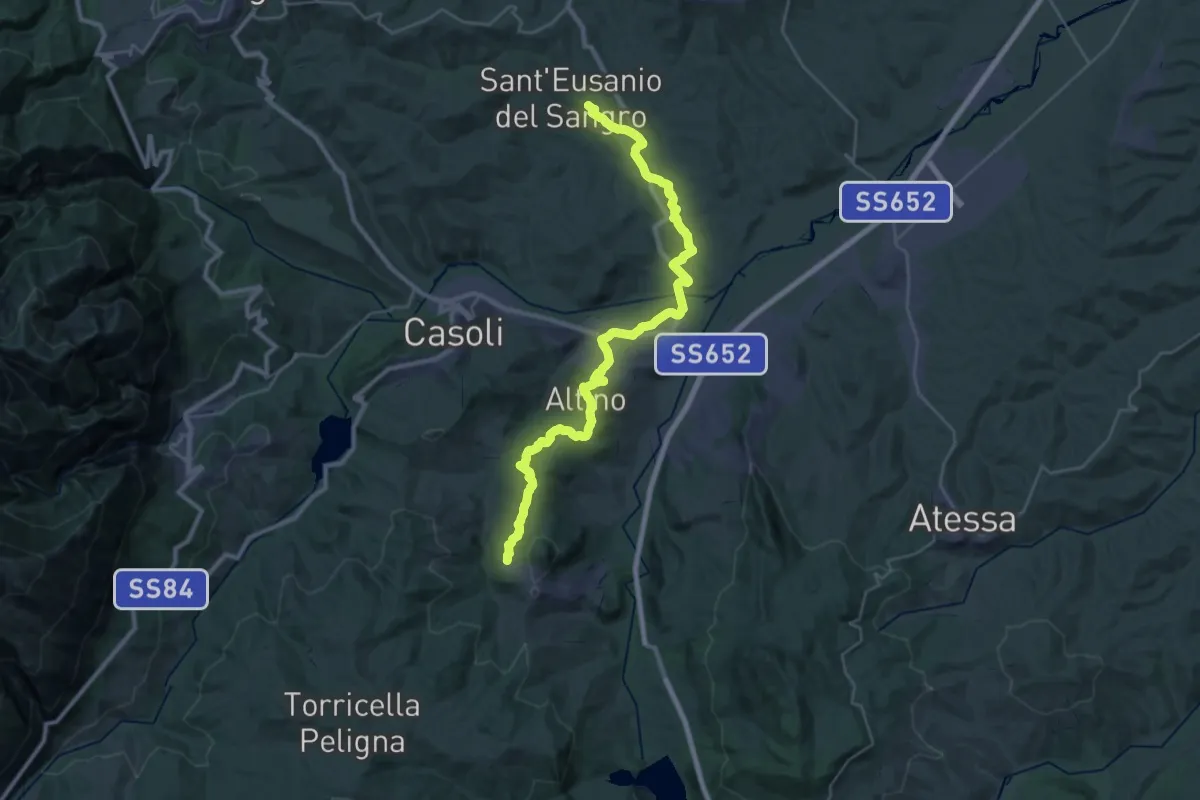
Demanding · Trail
Il Cammino d'Abruzzo: Tappa 32
19.0 km · ↑ 531 m · 5 h 47 min · 14 km away