Trails near Atripalda
46 hikes starting within 15 km, nearest first.
Nearest first
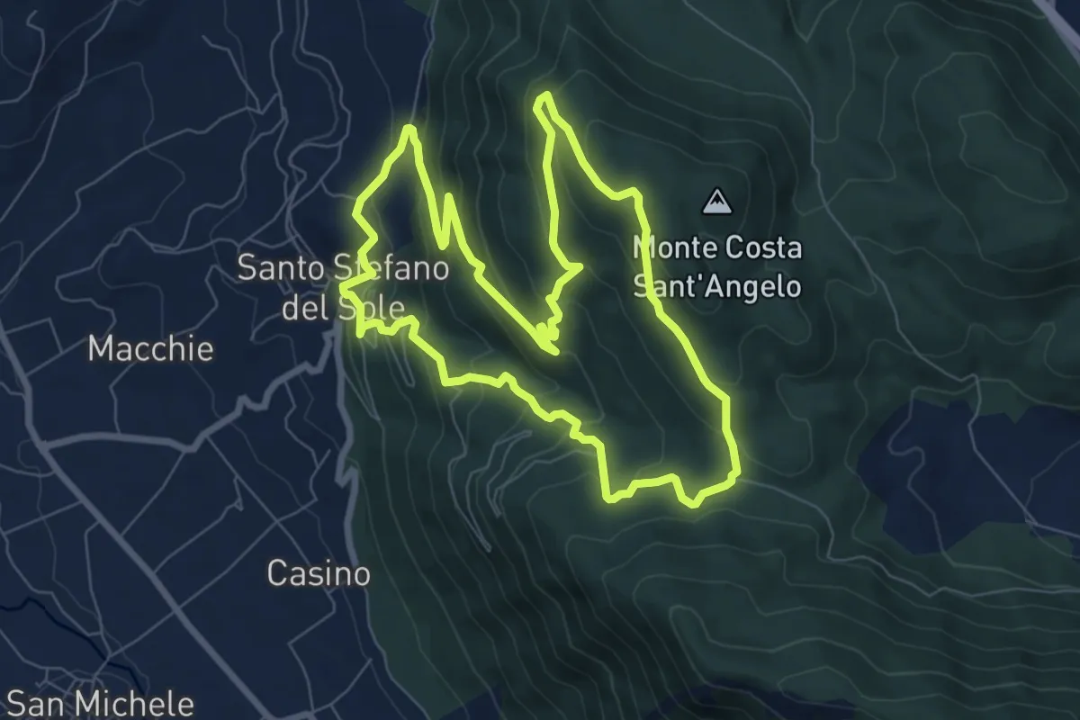
Medium · Trail
Circuito di Santo Stefano del Sole
8.5 km · ↑ 496 m · 3 h 12 min · 4 km away
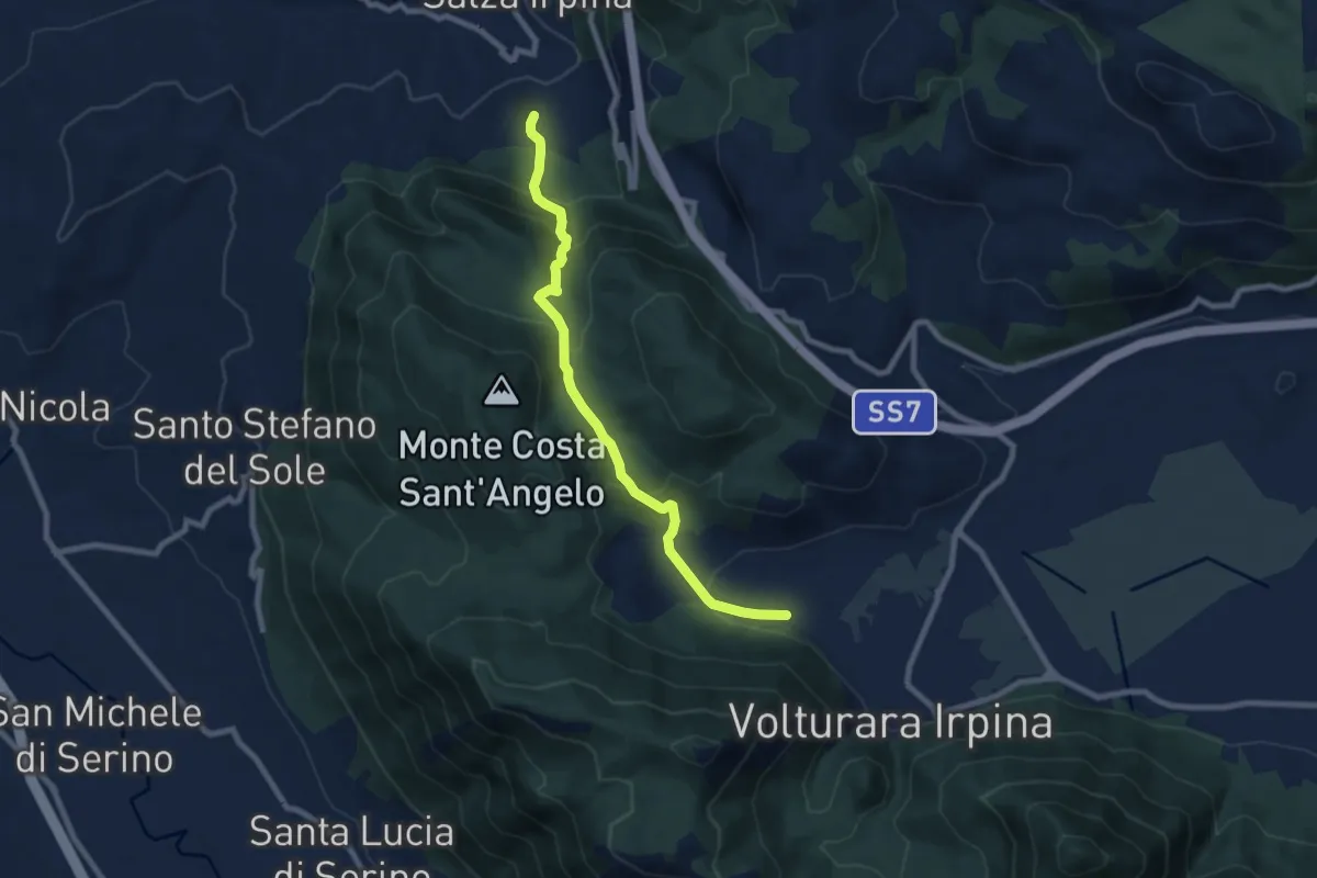
Medium · Trail
Sorbo Serpico – Volturara (Fontana Serpico)
8.8 km · ↑ 501 m · 3 h 9 min · 5 km away
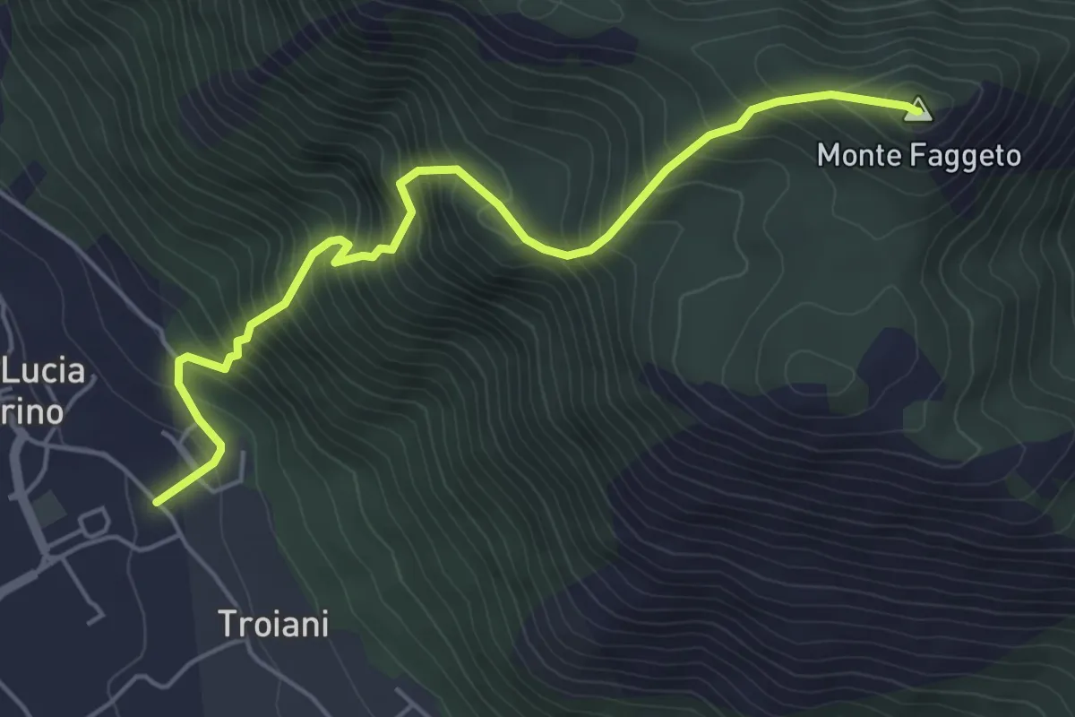
Medium · Summit
Santa Lucia di Serino – Monte del Faggeto
5.8 km · ↑ 749 m · 2 h 59 min · 7 km away
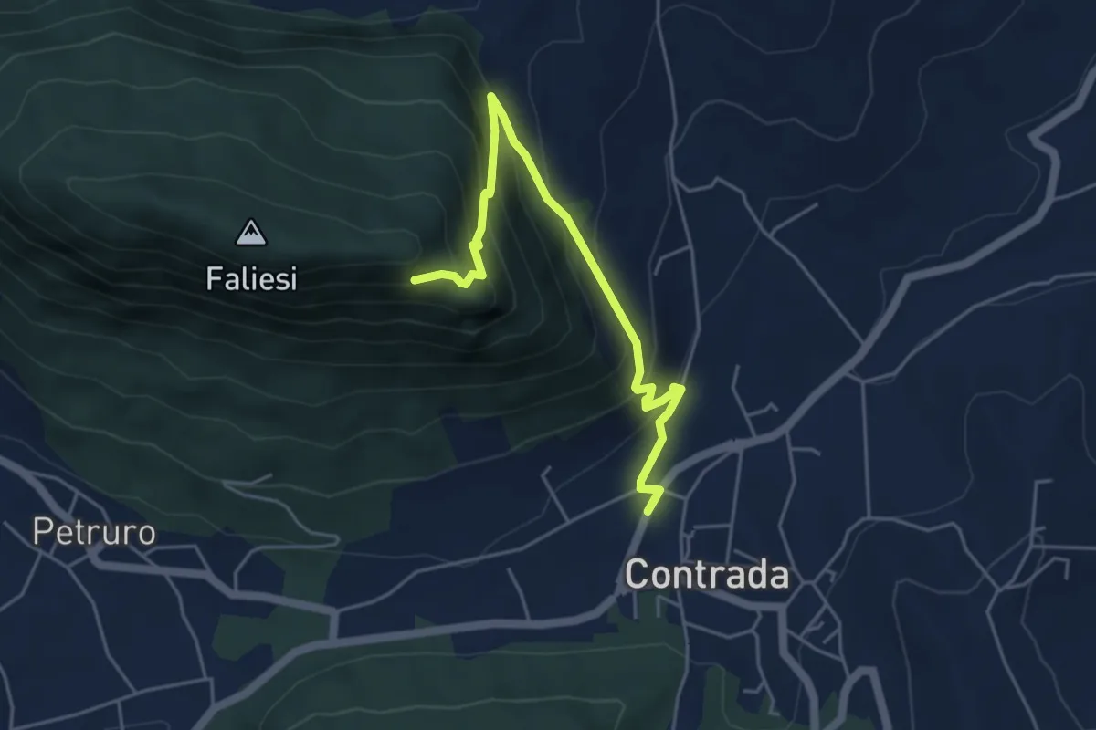
Medium · Trail
Contrada – Monte Faliesi
5.3 km · ↑ 451 m · 2 h 13 min · 8 km away
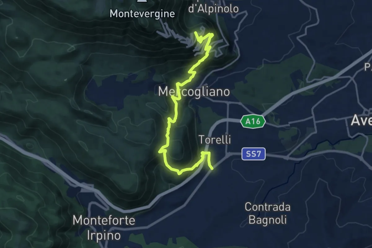
Demanding · Trail
Monteforte (Alvanella) – Bivio Ospedaletto
14.6 km · ↑ 964 m · 5 h 33 min · 8 km away
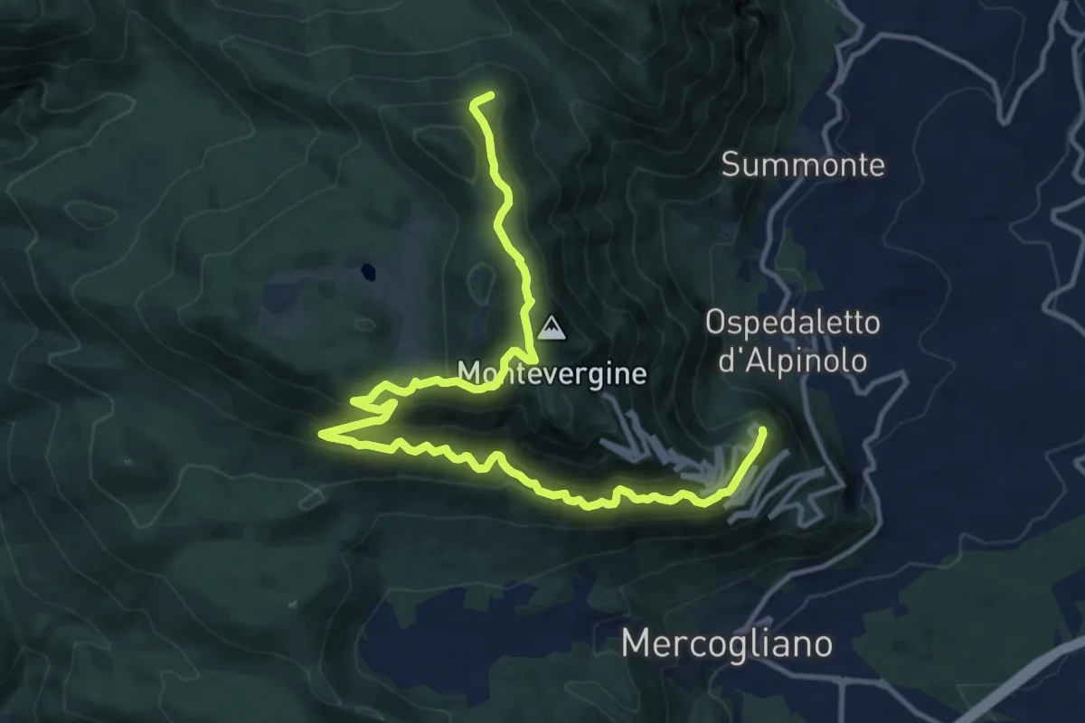
Demanding · Trail
Casone – Toppa Cesina
16.6 km · ↑ 1108 m · 6 h 19 min · 8 km away
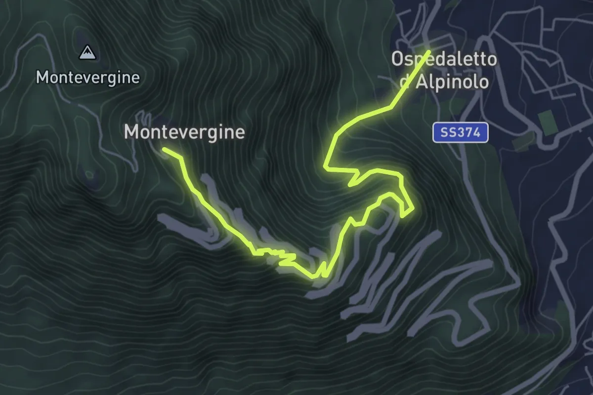
Medium · Trail
Sentiero di Mamma Schiavona
6.9 km · ↑ 619 m · 2 h 58 min · 8 km away
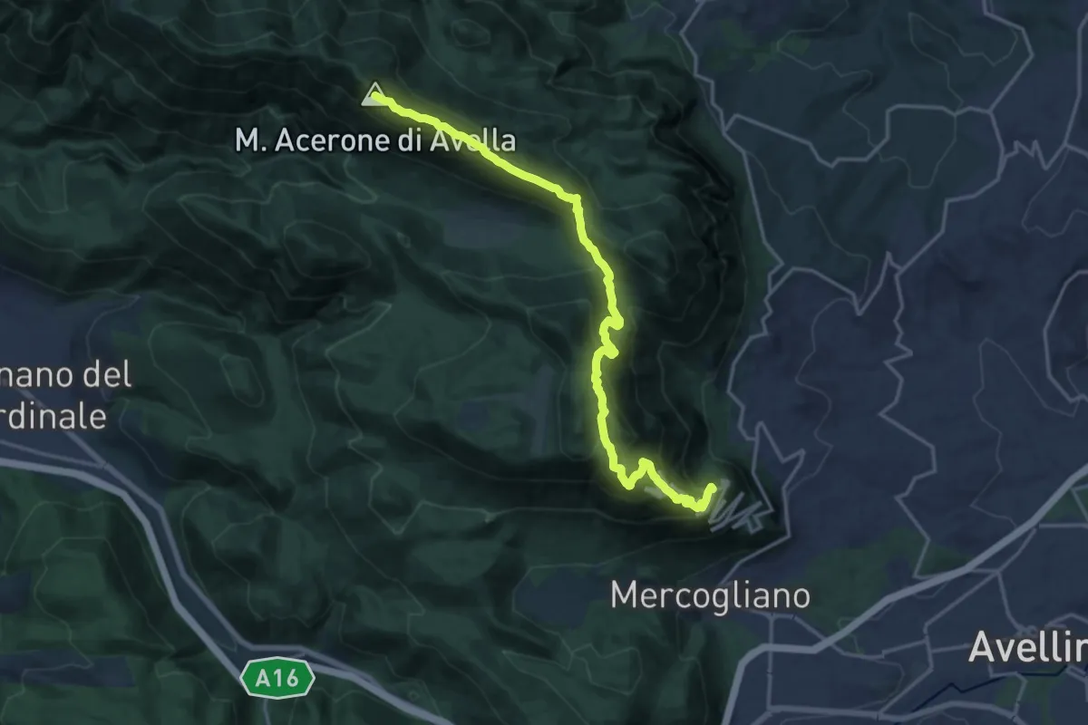
Expert · Summit
Bivio Ospedaletto – Rifugio Piano di Lauro
19.4 km · ↑ 1137 m · 7 h 2 min · 8 km away
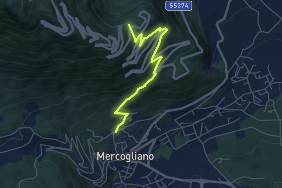
Medium · Trail
Sentiero dei Pellegrini
5.0 km · ↑ 439 m · 2 h 8 min · 8 km away
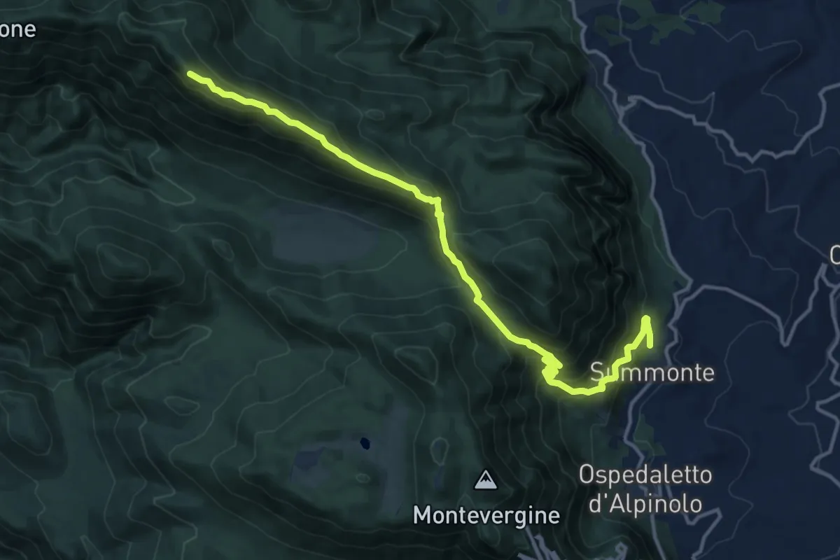
Expert · Summit
Alta Via dei Monti del Partenio
15.8 km · ↑ 950 m · 5 h 47 min · 8 km away
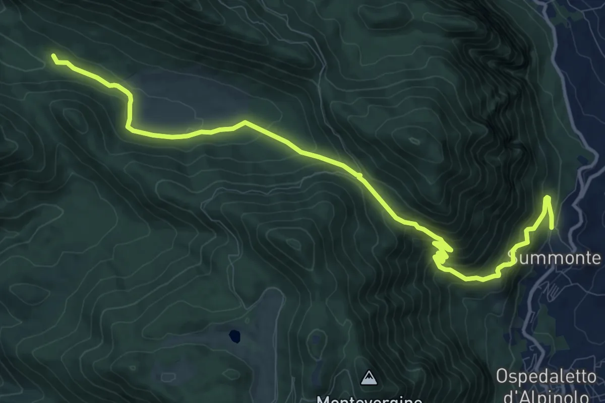
Demanding · Cabin
Sentiero del campo
14.4 km · ↑ 818 m · 5 h 10 min · 8 km away
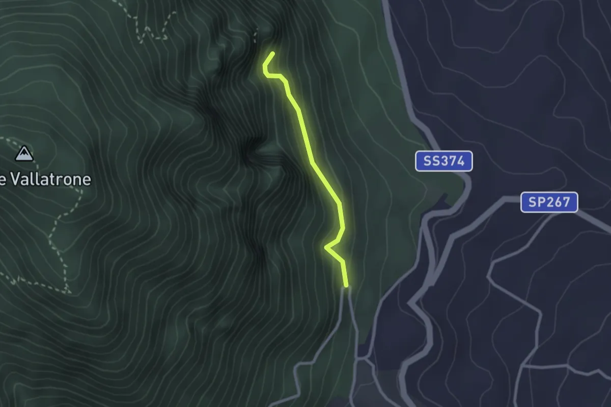
Easy · Trail
Sentiero della devozione
2.1 km · ↑ 249 m · 1 h 2 min · 8 km away
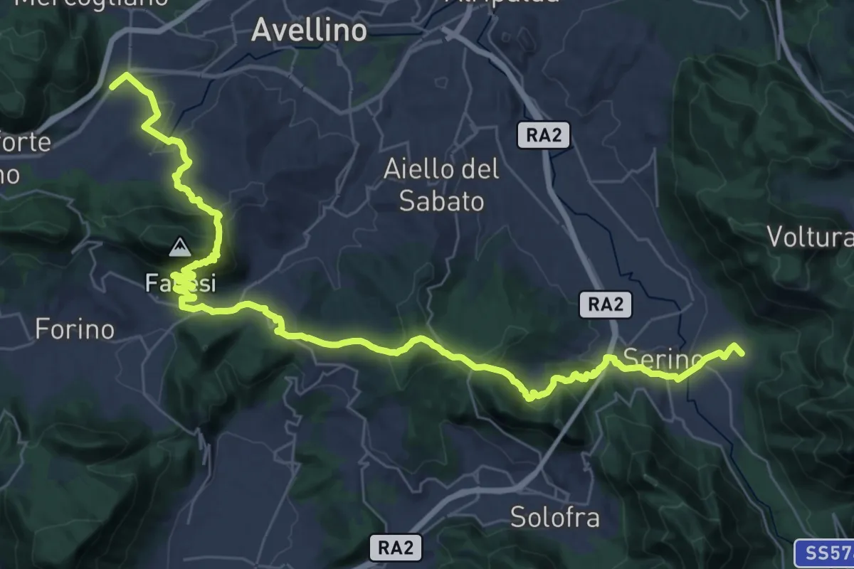
Demanding · Trail
Serino – Monteforte (Alvanella)
22.5 km · ↑ 887 m · 7 h 33 min · 8 km away
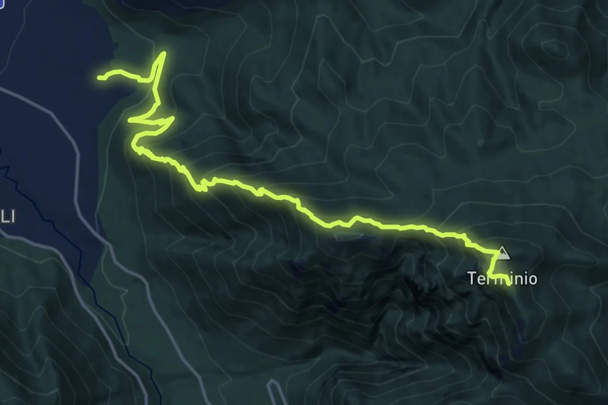
Demanding · Summit
Piano di Verteglia – Serino
16.5 km · ↑ 1574 m · 7 h 19 min · 8 km away
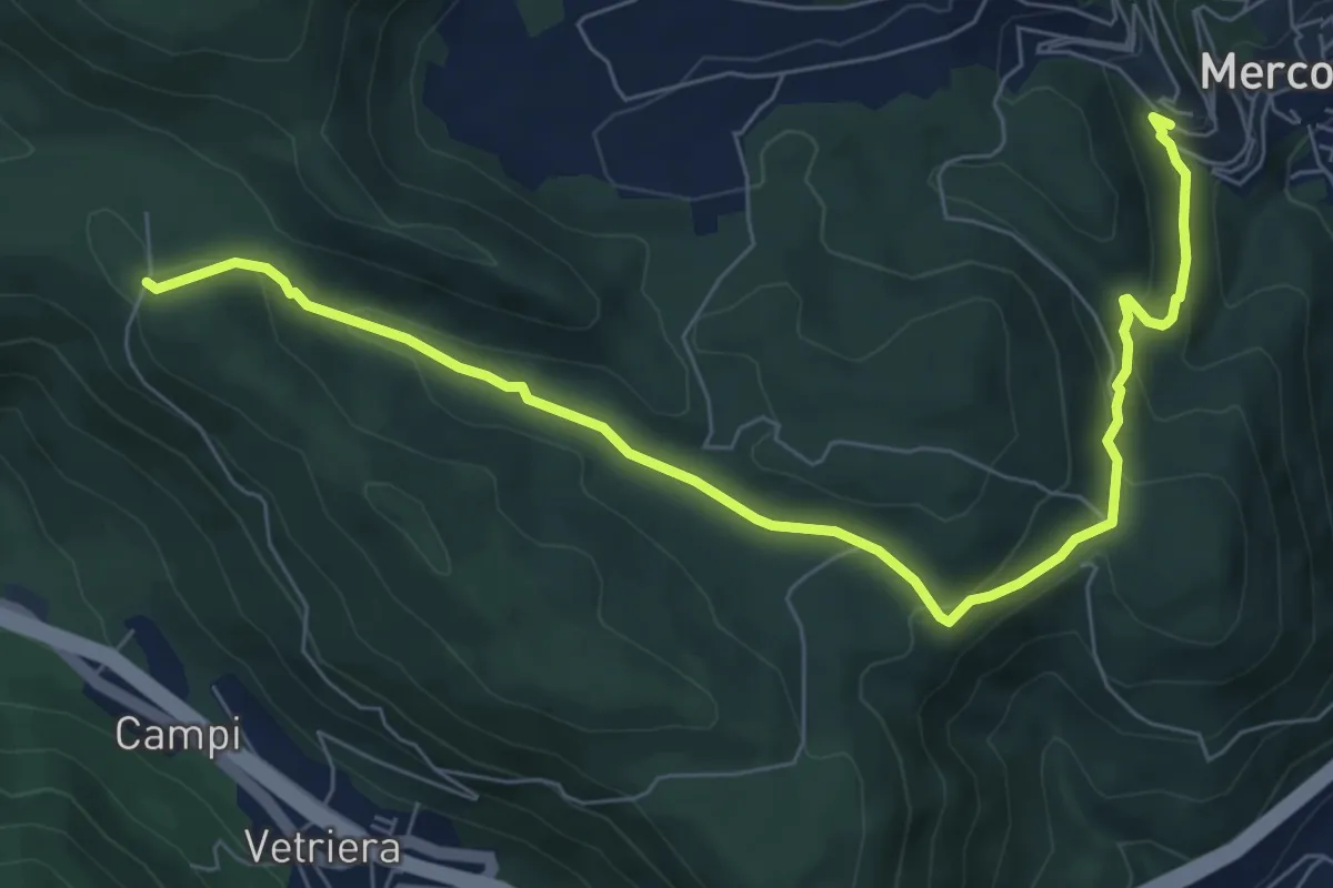
Medium · Trail
Capocastello (Acqua del Pero) – intersezione sentiero 214
9.1 km · ↑ 354 m · 2 h 55 min · 8 km away
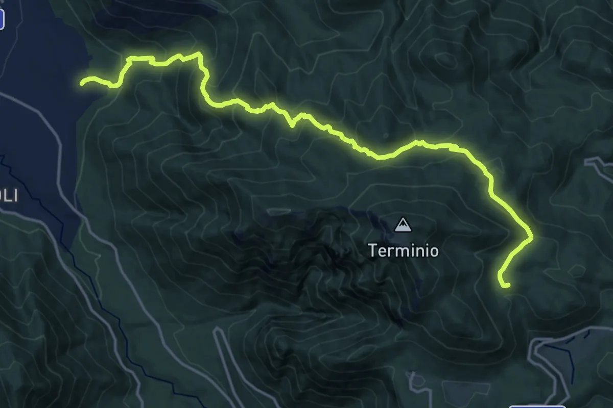
Demanding · Cabin
Sentiero del castagno
18.0 km · ↑ 1226 m · 6 h 55 min · 8 km away
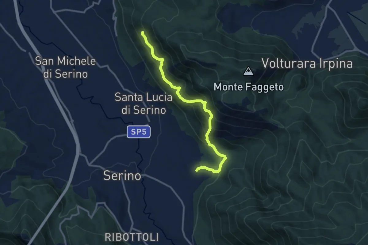
Demanding · Trail
Sentiero della valle di Serino
9.5 km · ↑ 875 m · 4 h 9 min · 8 km away
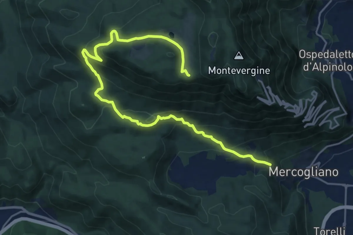
Medium · Trail
Mercogliano – Campo Maggiore
16.6 km · ↑ 746 m · 5 h 32 min · 9 km away
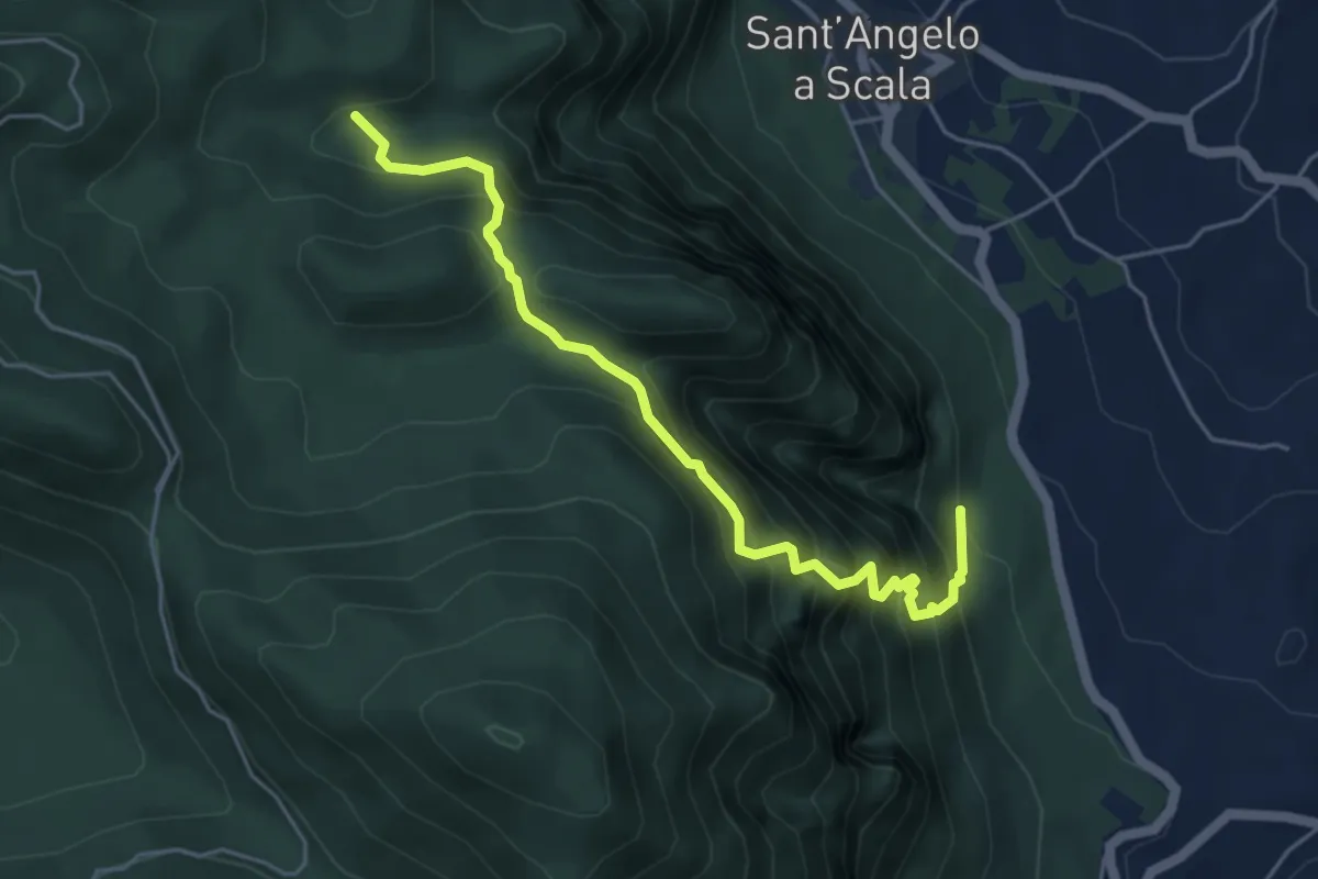
Medium · Trail
Sentiero dei Papi (dedicato a Berto Conedera)
5.6 km · ↑ 744 m · 2 h 56 min · 9 km away
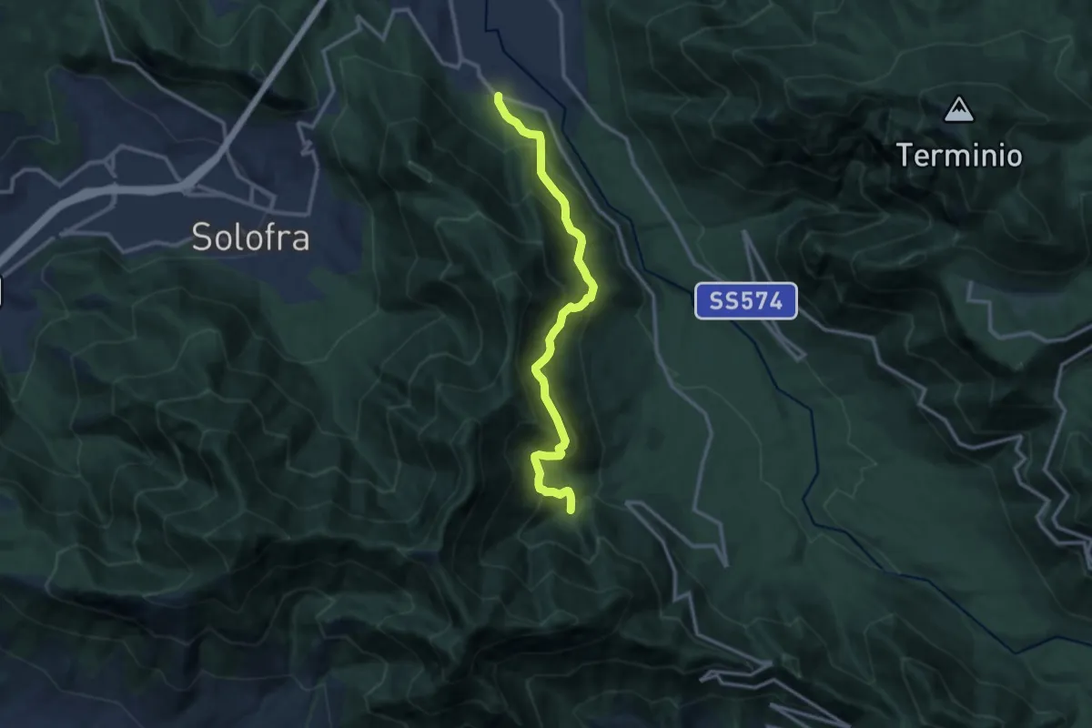
Demanding · Trail
Ribottoli – Acqua della Tornola
12.1 km · ↑ 1091 m · 5 h 14 min · 9 km away
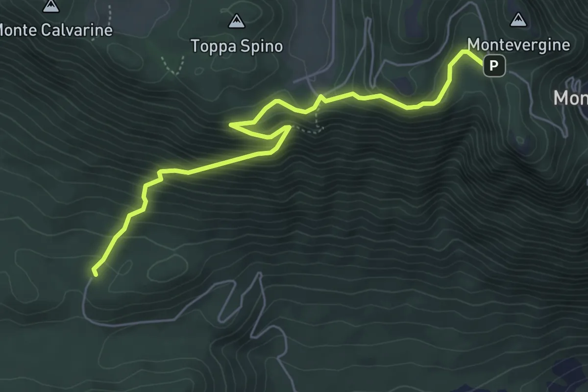
Medium · Trail
Sentiero delle Roccaglie
6.3 km · ↑ 497 m · 2 h 34 min · 9 km away
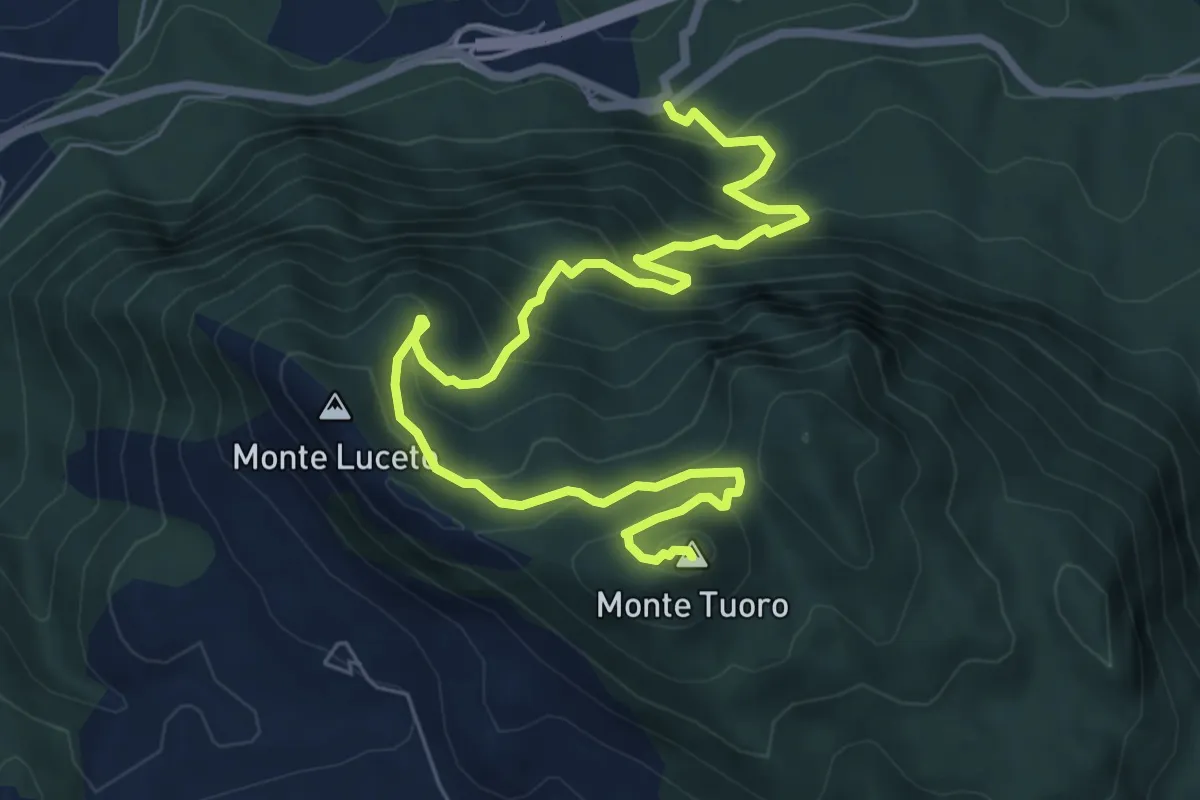
Demanding · Summit
Sentiero dell'Angelo
9.7 km · ↑ 812 m · 4 h 3 min · 10 km away
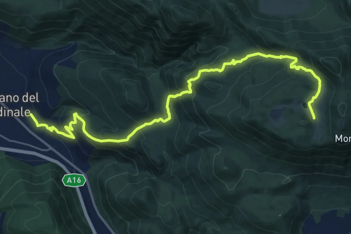
Demanding · Trail
Sentiero di Travertone
20.9 km · ↑ 1280 m · 7 h 43 min · 10 km away
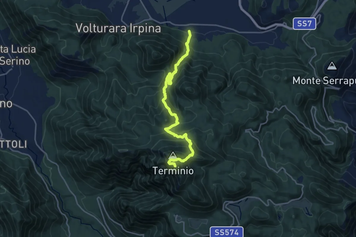
Demanding · Summit
Alta Via dei Picentini
15.6 km · ↑ 1290 m · 6 h 28 min · 10 km away
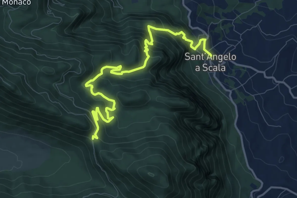
Demanding · Trail
Il sentiero di Fra Diavolo
12.4 km · ↑ 852 m · 4 h 47 min · 11 km away
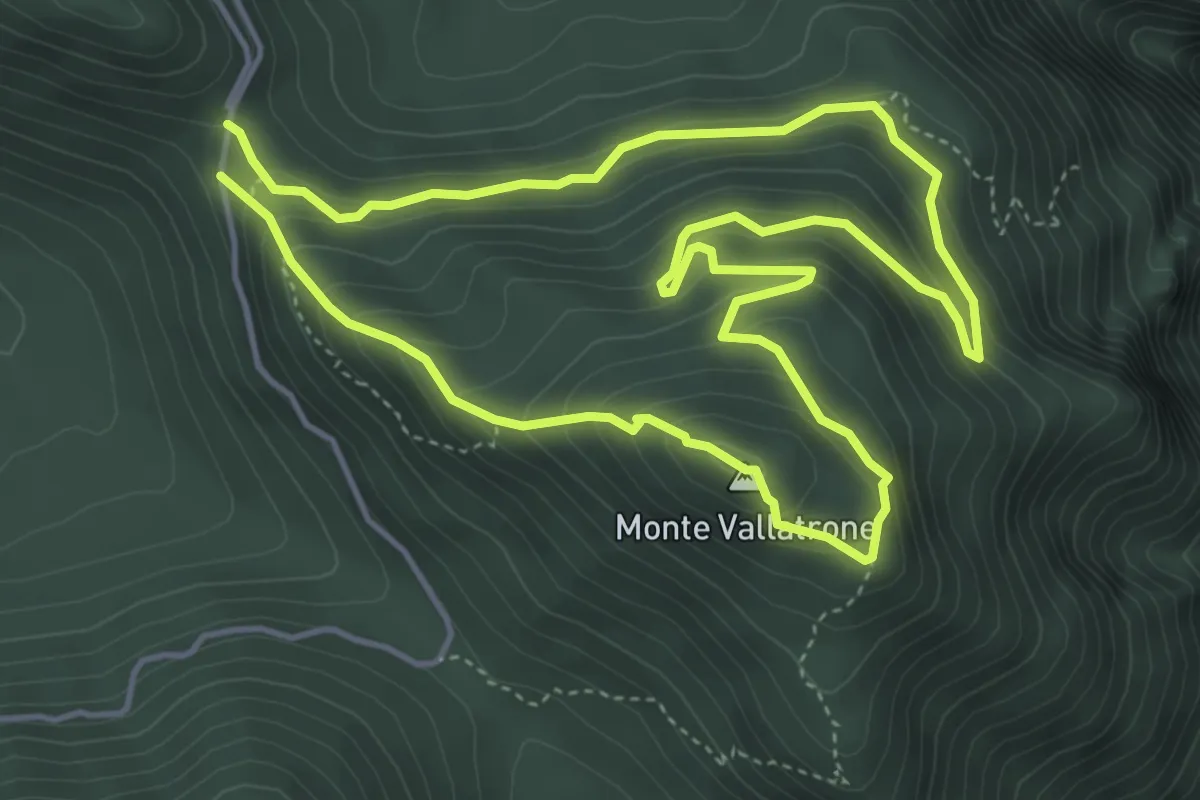
Demanding · Summit
Salita del Vallatrone
5.0 km · ↑ 341 m · 2 h · 11 km away
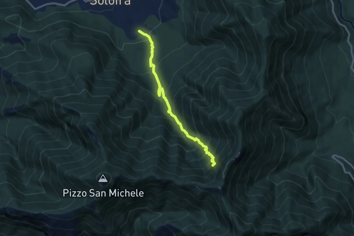
Demanding · Trail
Arco – Neviere
7.3 km · ↑ 900 m · 3 h 41 min · 11 km away
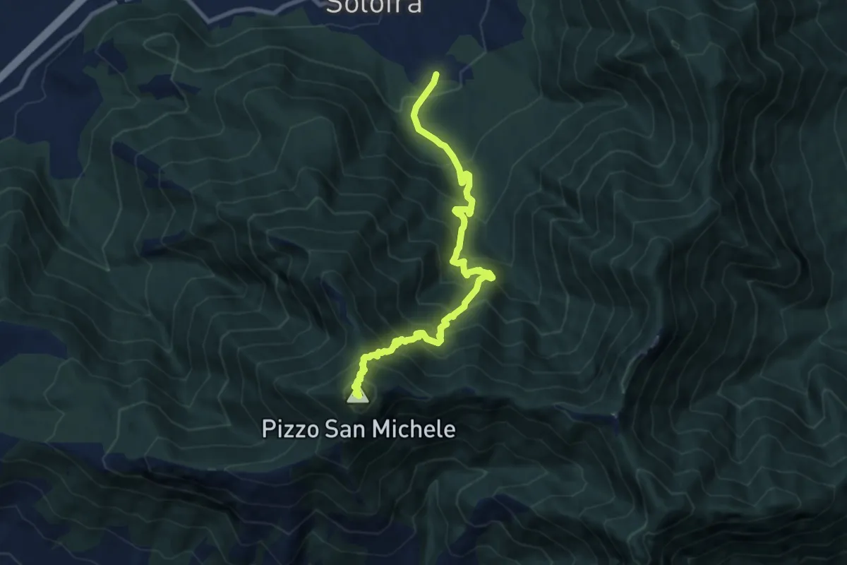
Demanding · Summit
Sentiero della scorza
9.9 km · ↑ 1184 m · 4 h 55 min · 11 km away
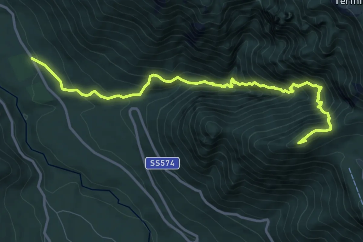
Demanding · Summit
Sentiero del Matrunolo
9.9 km · ↑ 1162 m · 4 h 52 min · 11 km away
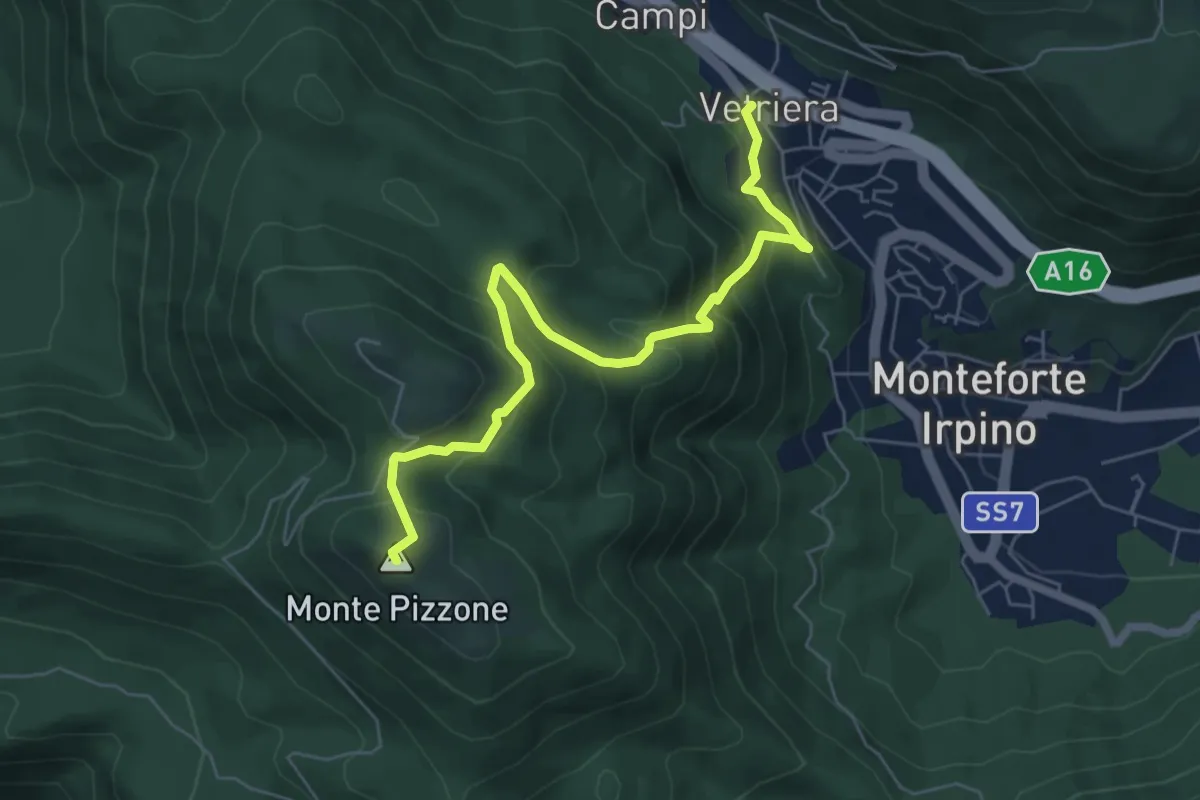
Medium · Summit
Monteforte Irpino – Monte Pizzone
7.1 km · ↑ 531 m · 2 h 49 min · 11 km away
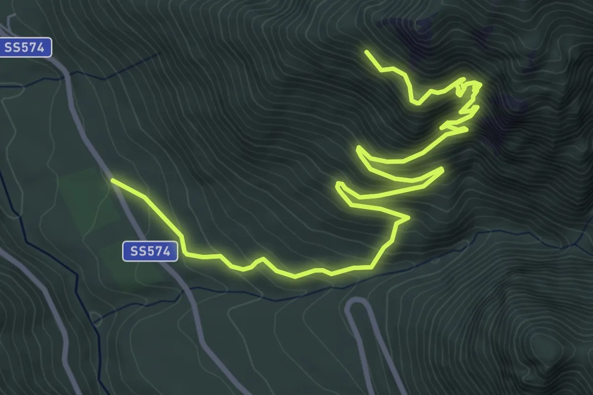
Demanding · Trail
Sentiero del Santissimo Salvatore
9.9 km · ↑ 871 m · 4 h 14 min · 11 km away
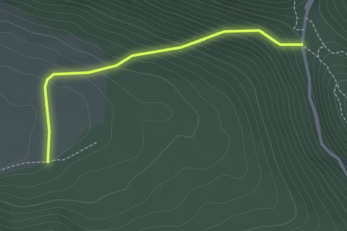
Easy · Trail
Sopra l'Arenella – Campo di Summonte
2.3 km · ↑ 195 m · 58 min · 11 km away
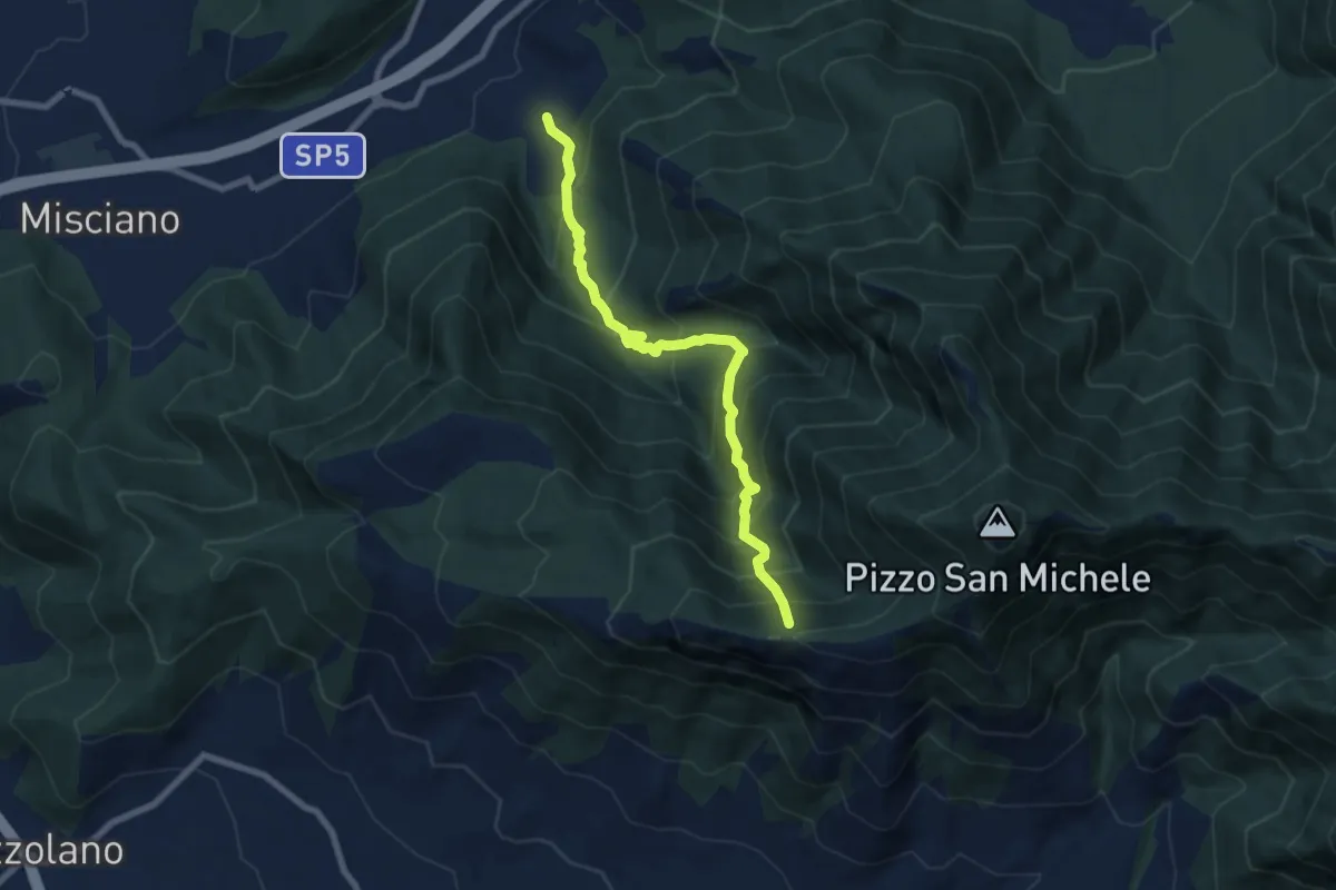
Demanding · Trail
Sentiero del candelito
8.2 km · ↑ 906 m · 3 h 53 min · 11 km away
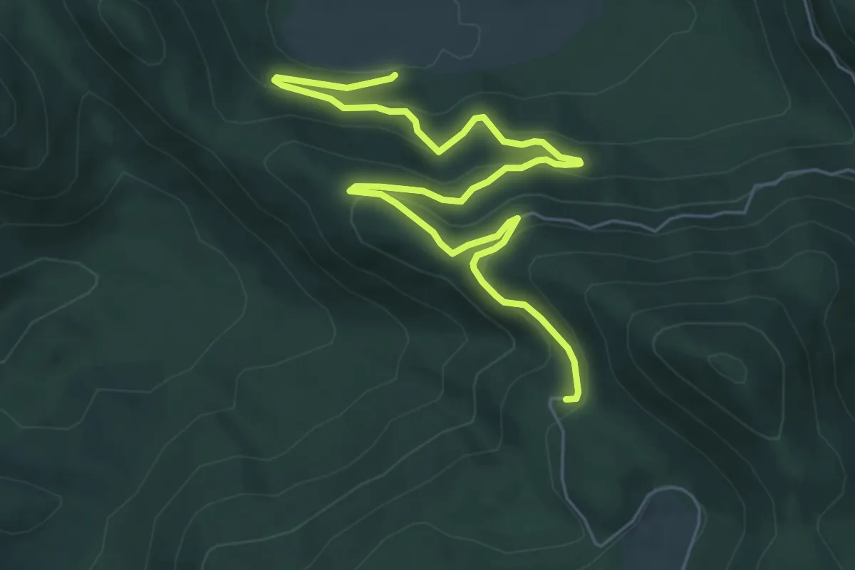
Medium · Trail
Sentiero dei campi
8.2 km · ↑ 388 m · 2 h 46 min · 12 km away
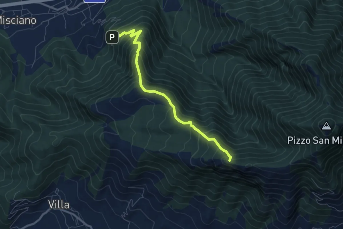
Medium · Summit
Sentiero dei due Santuari
7.5 km · ↑ 672 m · 3 h 14 min · 12 km away
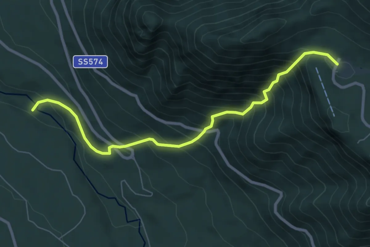
Medium · Trail
Fiume Sabato – Campolaspierto
7.0 km · ↑ 779 m · 3 h 21 min · 13 km away
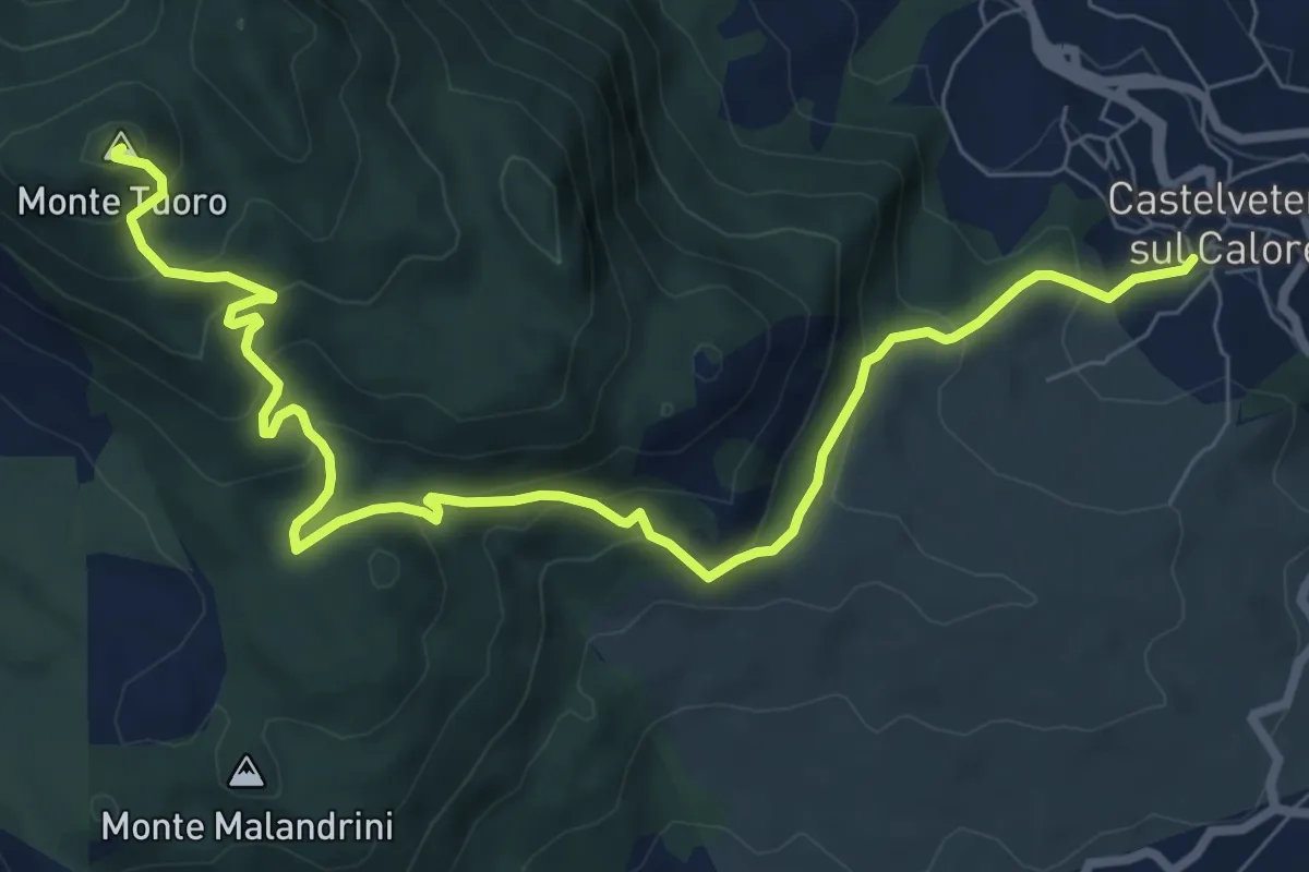
Medium · Summit
Castelvetere – Monte Tuoro
10.5 km · ↑ 645 m · 3 h 53 min · 13 km away
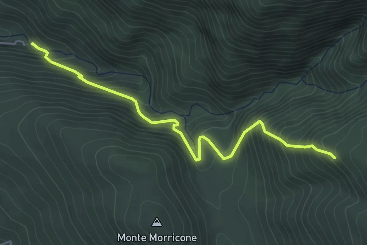
Medium · Trail
Sentiero delle fascine
5.1 km · ↑ 604 m · 2 h 31 min · 13 km away
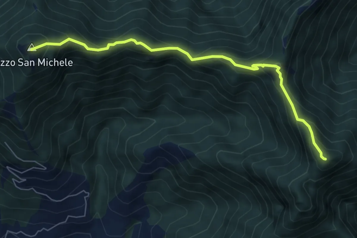
Expert · Summit
Alta via Monti Picentini Occidentali
6.8 km · ↑ 614 m · 2 h 57 min · 14 km away
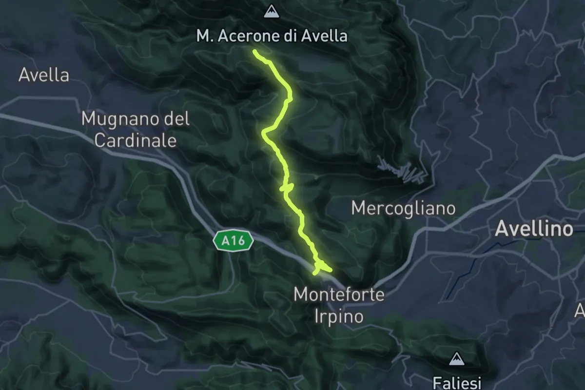
Demanding · Trail
Monteforte – Fonte di Campo San Giovanni
20.8 km · ↑ 802 m · 6 h 38 min · 14 km away
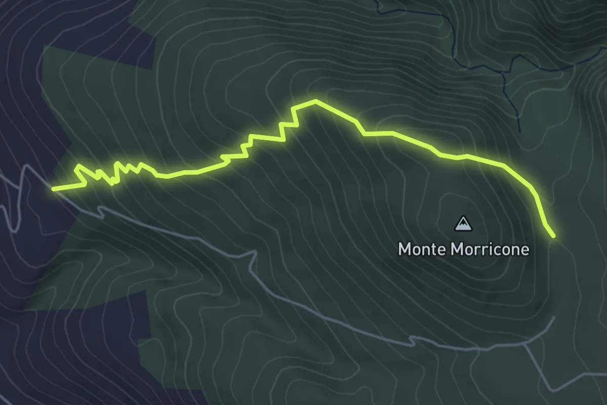
Medium · Trail
San Pietro a Cesarano – Acqua del Litto
5.9 km · ↑ 467 m · 2 h 24 min · 14 km away
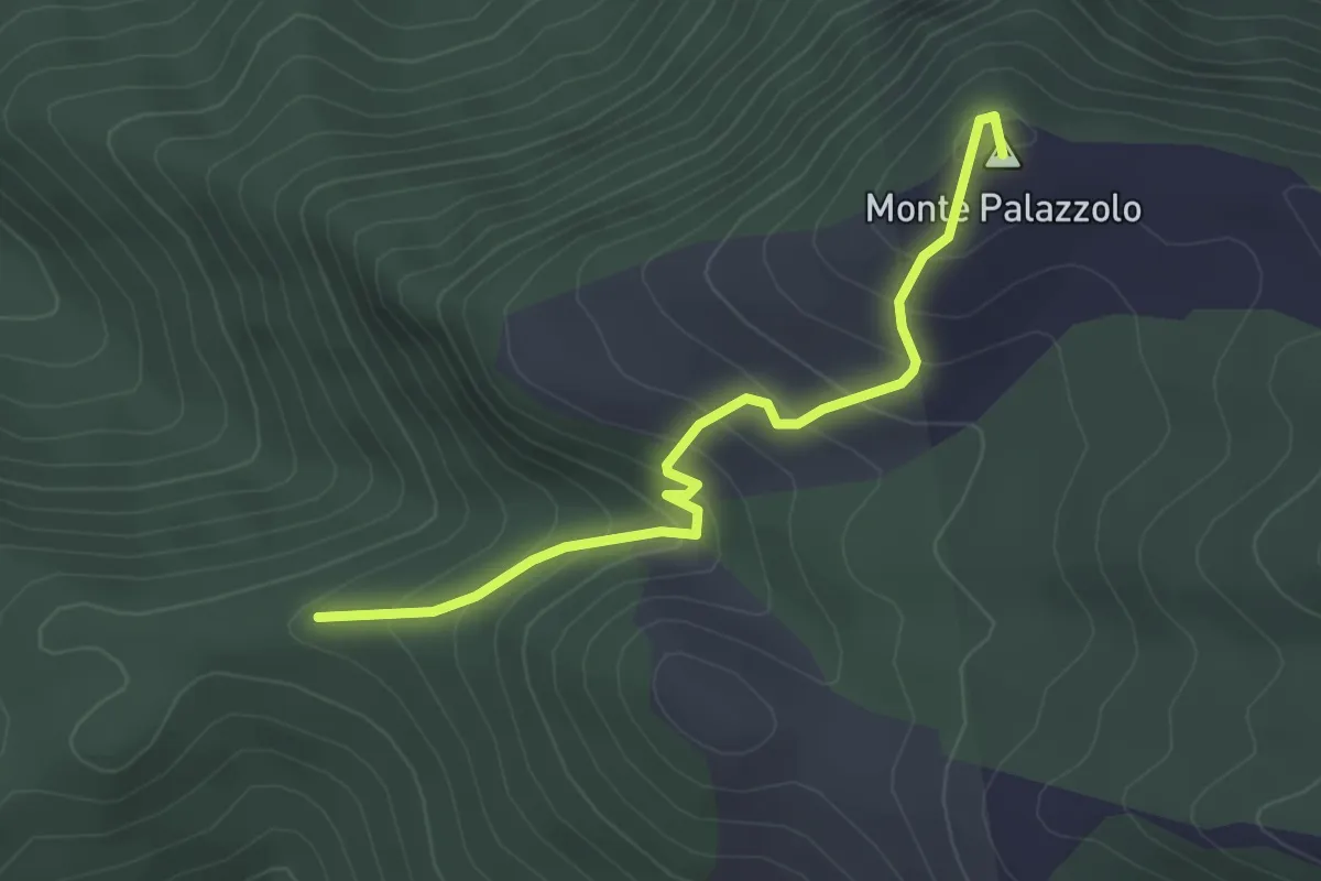
Easy · Summit
Cisterne – Monte Palazzolo
3.3 km · ↑ 284 m · 1 h 24 min · 14 km away
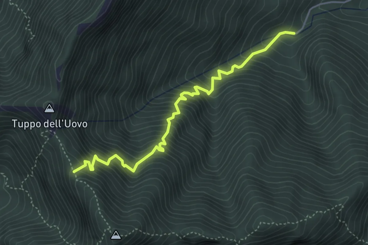
Medium · Trail
Acqua della Tornola – Varco della Teglia (innesto 116)
5.0 km · ↑ 741 m · 2 h 47 min · 14 km away
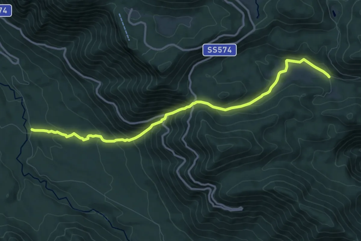
Medium · Trail
Sentiero delle fontane
11.3 km · ↑ 725 m · 4 h 15 min · 15 km away
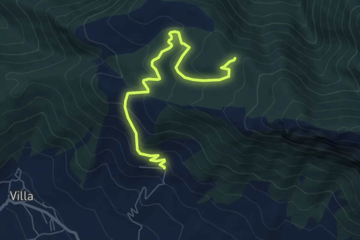
Medium · Trail
San Michele di Basso (Fisciano) – Innesto 136
7.0 km · ↑ 377 m · 2 h 28 min · 15 km away
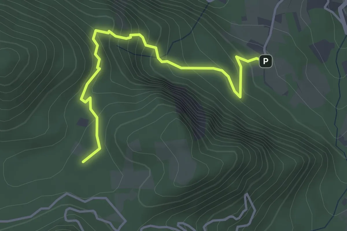
Easy · Summit
Sentiero di piedi monte o delle revotole
4.1 km · ↑ 318 m · 1 h 39 min · 15 km away