Trails near Aurisina / Nabrežina
64 hikes starting within 15 km, nearest first.
Nearest first, page 2 of 2
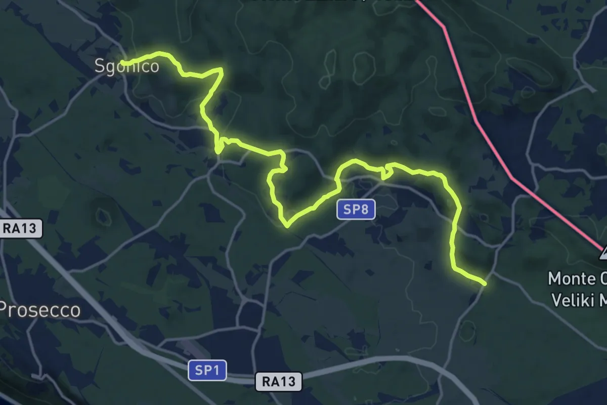
Demanding · Trail
Sgonico (quota 276 m) – Col bivio SP 9 (quota 328 m)
18.5 km · ↑ 446 m · 5 h 20 min · 11 km away
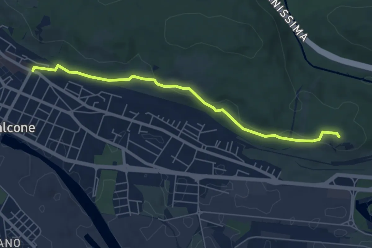
Easy · Summit
Monfalcone (quota 23 m) – Monfalcone – Lisert Archi raccordo sentiero n. 81 (quota 25 m)
5.2 km · ↑ 106 m · 1 h 28 min · 12 km away
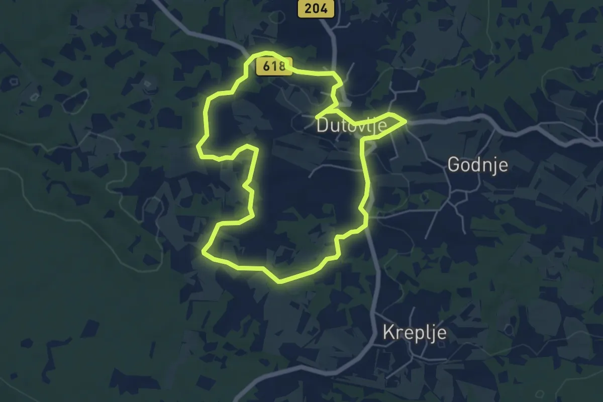
Easy · Trail
Teranova krožna pot Dutovlje
5.2 km · ↑ 64 m · 1 h 26 min · 12 km away
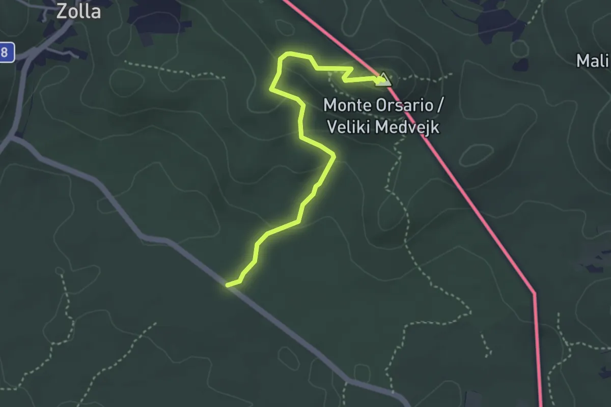
Easy · Summit
SP9 – Monte Orsario / Medvedjak
3.5 km · ↑ 122 m · 1 h 6 min · 12 km away
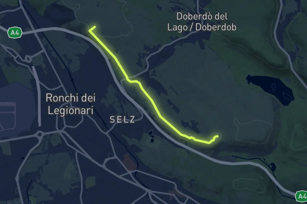
Medium · Summit
Redipuglia (quota 25 m) – Sella Monte Cosici e Monte Debeli (quota 65 m)
8.6 km · ↑ 150 m · 2 h 22 min · 13 km away
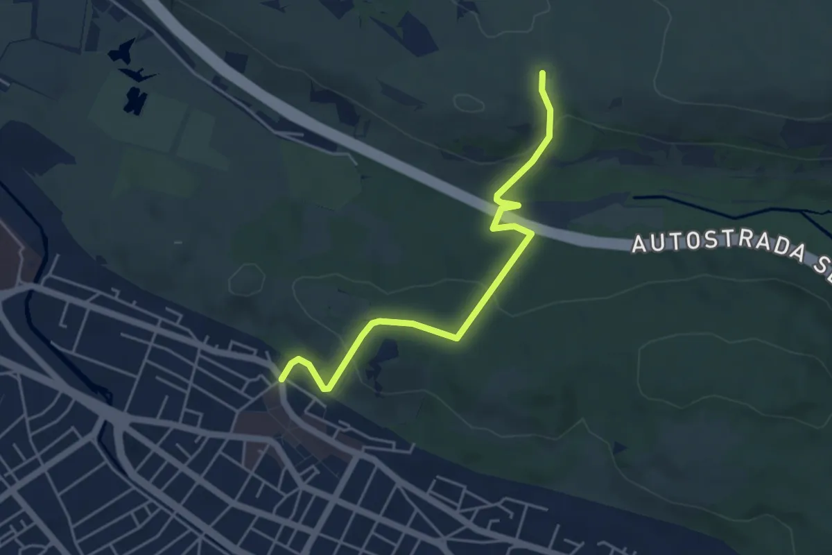
Easy · Trail
Monfalcone (quota 25 m) – Sella Monte Cosici e Monte Deboli (quota 65 m)
4.5 km · ↑ 149 m · 1 h 23 min · 13 km away
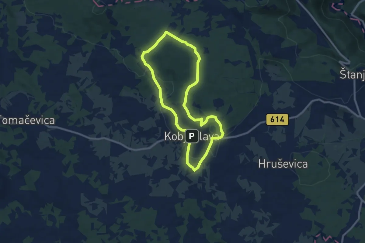
Easy · Trail
Pot devetih kalov
6.4 km · ↑ 99 m · 1 h 49 min · 13 km away
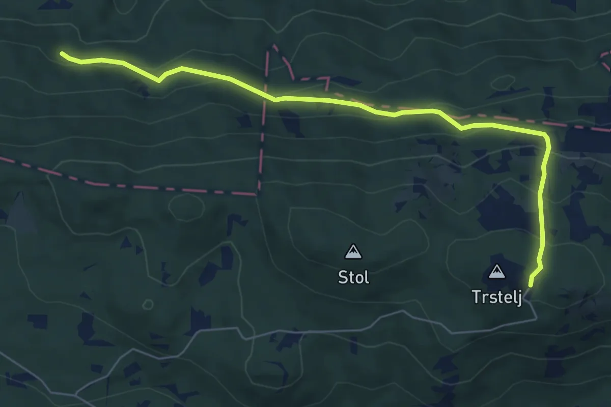
Demanding · Cabin
Črni hribi - Trstelj
6.5 km · ↑ 353 m · 2 h 18 min · 13 km away
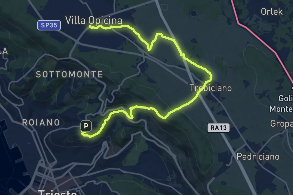
Medium · Trail
Opicina / Opčine – Cologna / Kolonja
17.8 km · ↑ 485 m · 5 h 15 min · 13 km away
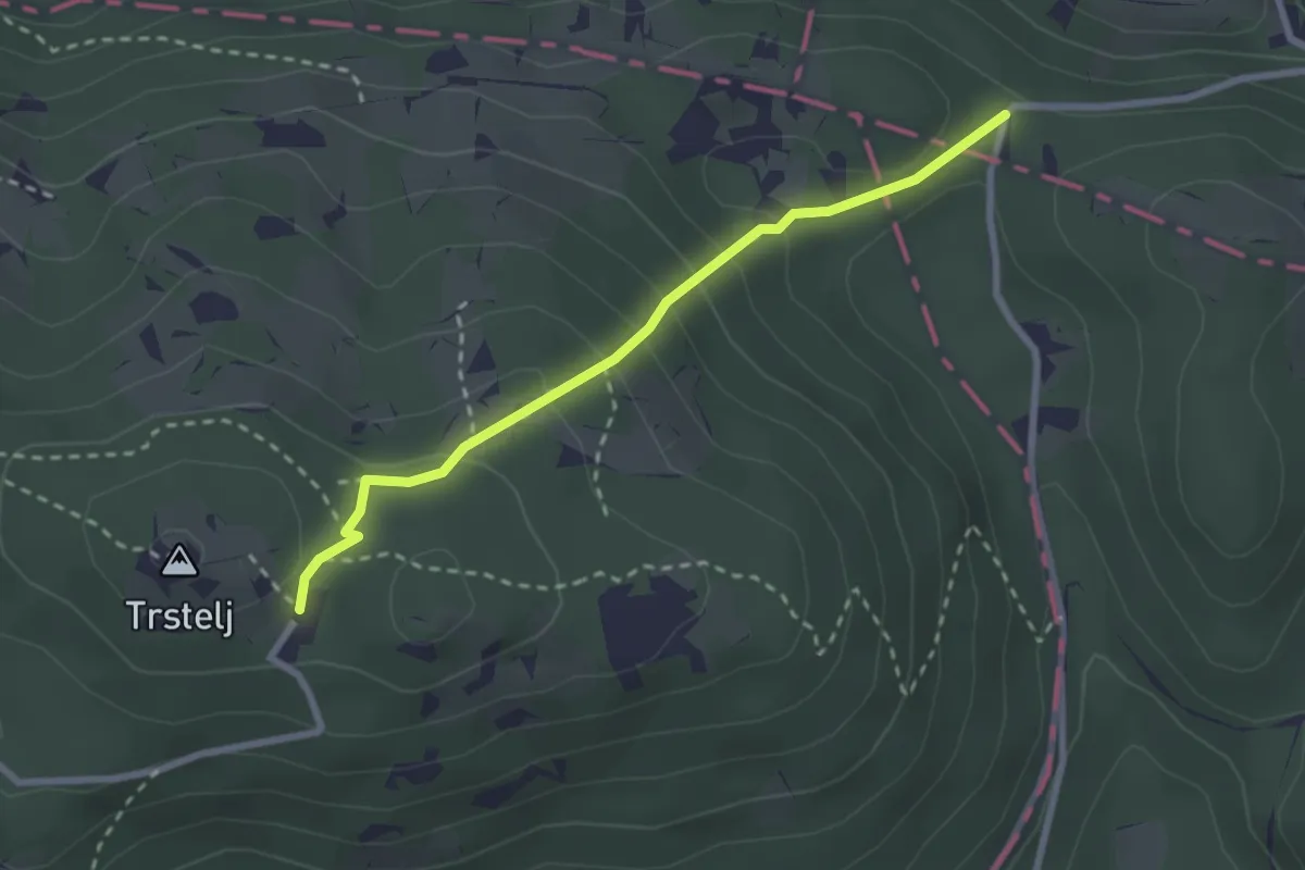
Medium · Cabin
Železna vrata - Trstelj
2.6 km · ↑ 189 m · 1 h 1 min · 13 km away
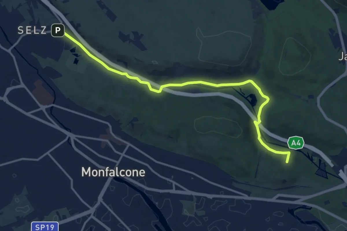
Medium · Summit
Ronchi dei Legionari – Cave di Selz (quota 10 m) – Monfalcone – Lisert Ponte degli Archi (quota 25 m)
10.5 km · ↑ 63 m · 2 h 37 min · 14 km away
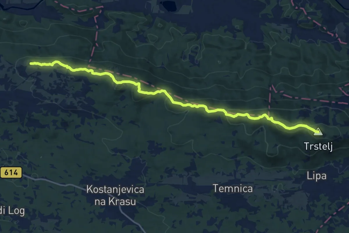
Demanding · Summit
Cerje - Fajti hrib - Trstelj
15.9 km · ↑ 785 m · 5 h 28 min · 14 km away
Easy · Summit
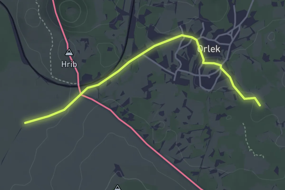
Pot Sonje Mašera
3.8 km · ↑ 28 m · 57 min · 14 km away
Easy · Trail
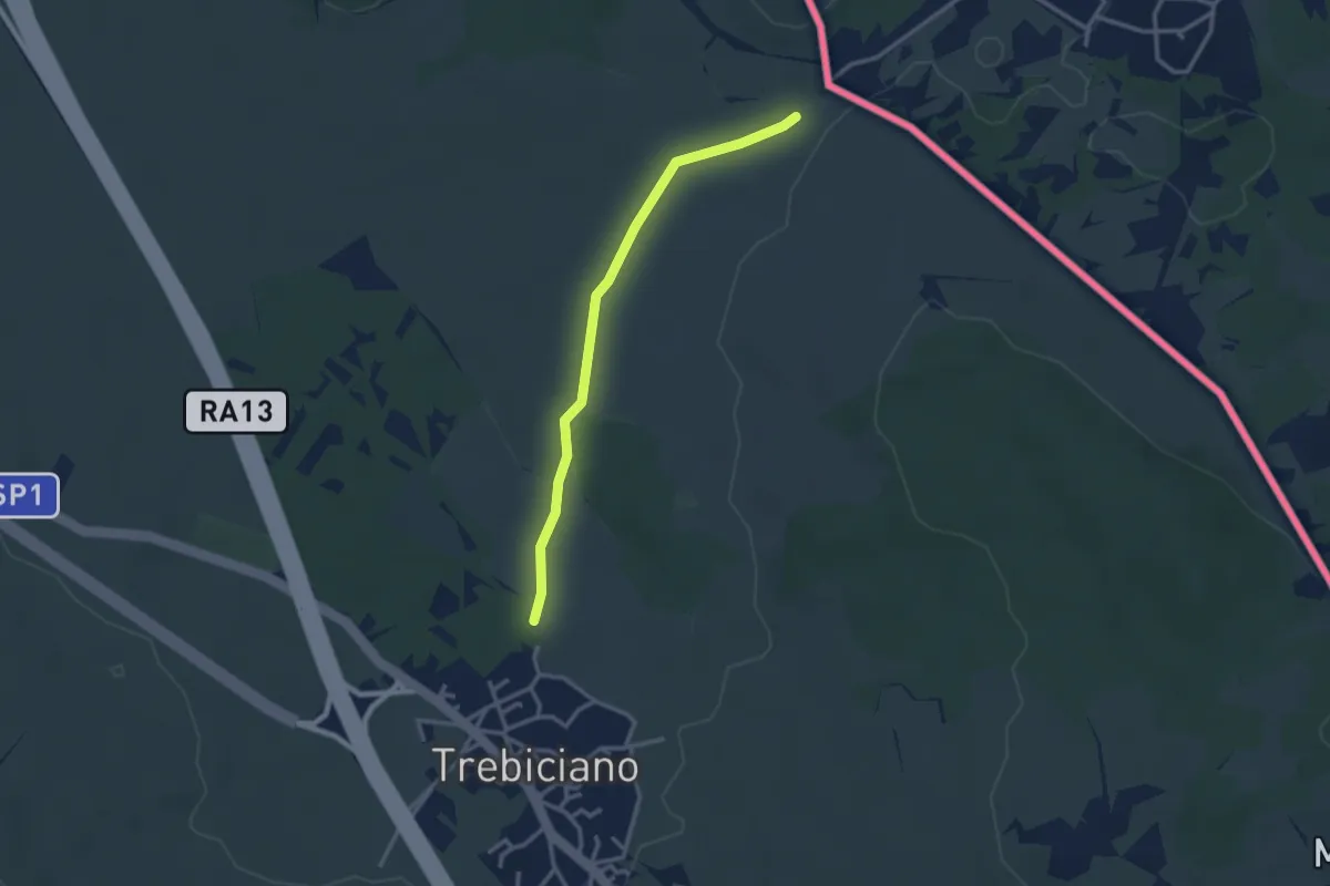
Trebiciano / Trebče - bivio sentiero 2 – Sentiero 3
2.9 km · ↑ 13 m · 42 min · 15 km away
Demanding · Summit
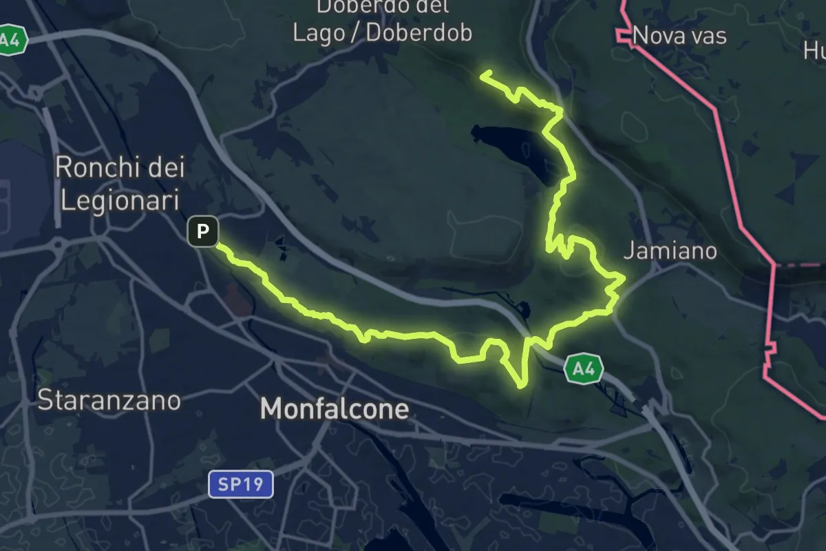
Sentiero dei castellieri
24.0 km · ↑ 664 m · 7 h 6 min · 15 km away
Medium · Summit
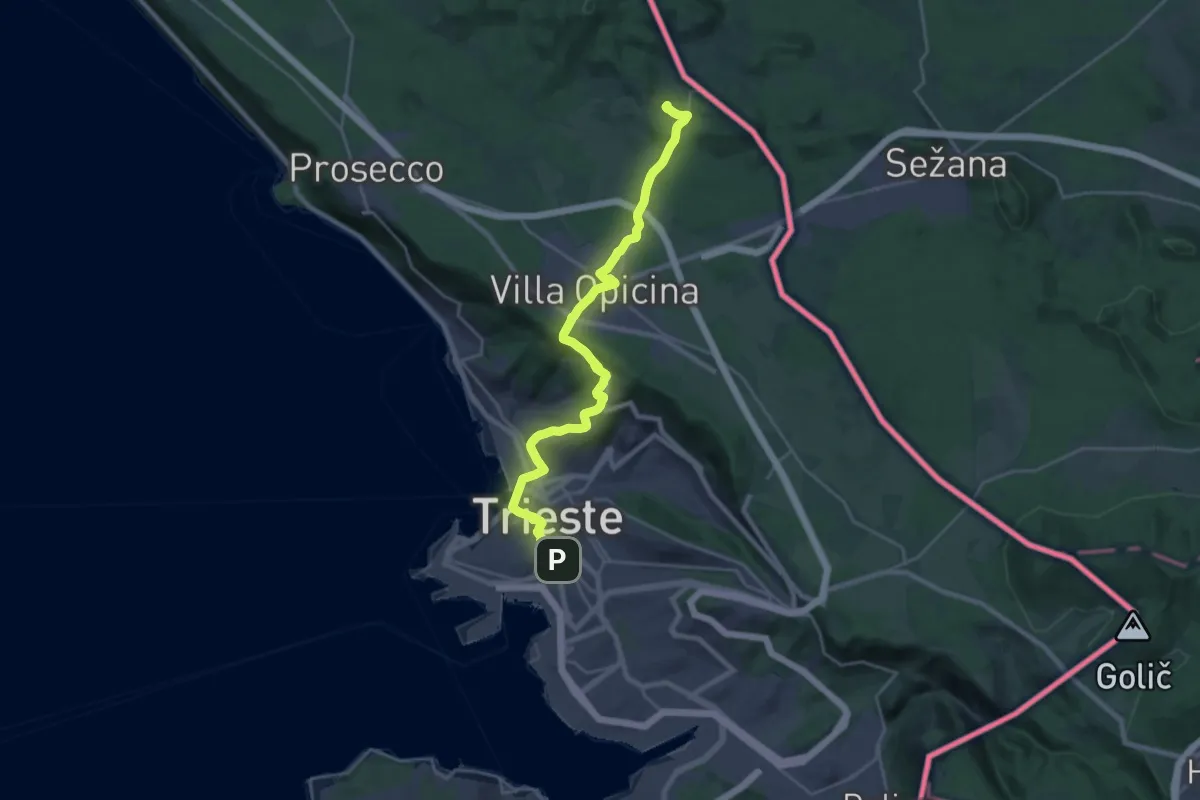
Jakobova pot – Primorska veja
13.0 km · ↑ 477 m · 4 h 6 min · 15 km away