Trails near Auronzo di Cadore
195 hikes starting within 15 km, nearest first.
Nearest first, page 1 of 5
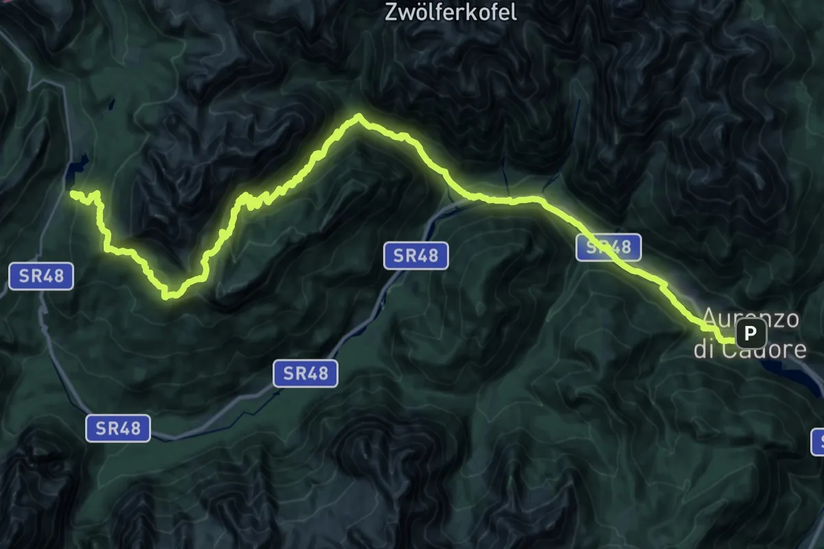
Demanding · Pilgrim path
Cammino delle Dolomiti - Tappa 16
24.0 km · ↑ 1489 m · 8 h 46 min · under 1 km away
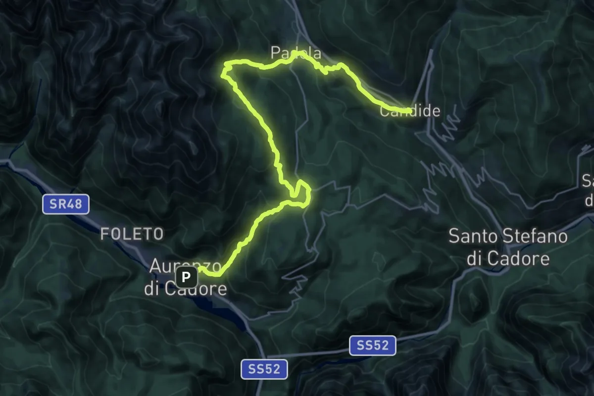
Demanding · Pilgrim path
Cammino delle Dolomiti - Tappa 17
16.0 km · ↑ 996 m · 5 h 59 min · under 1 km away
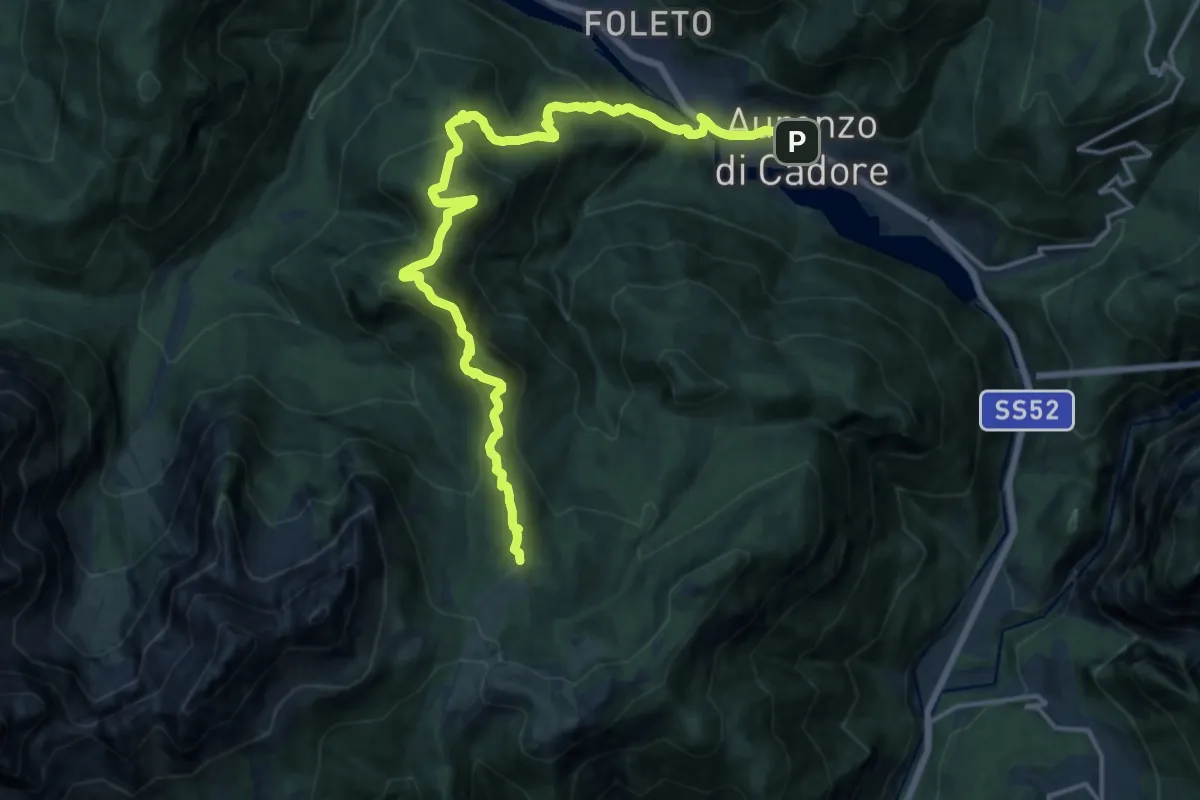
Demanding · Summit
Dolomites World Heritage Geotrail 20
19.3 km · ↑ 1345 m · 7 h 28 min · under 1 km away
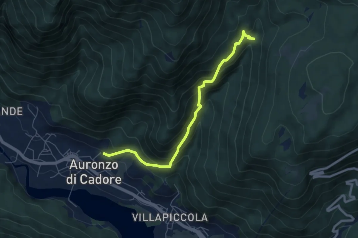
Medium · Trail
Tarin – Larietto
5.8 km · ↑ 478 m · 2 h 24 min · under 1 km away
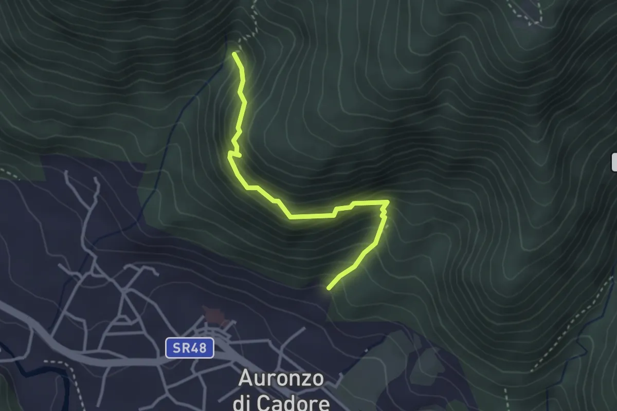
Medium · Trail
Auronzo – I Tofi
2.9 km · ↑ 298 m · 1 h 21 min · under 1 km away
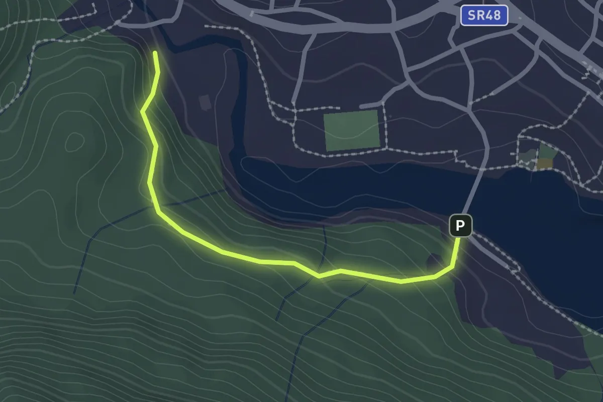
Easy · Trail
Proazei
2.2 km · ↑ 147 m · 50 min · under 1 km away
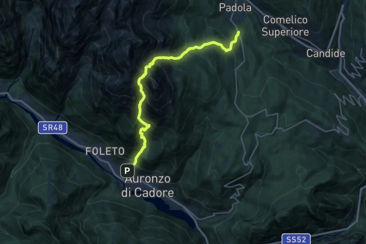
Expert · Trail
Auronzo - Val San Rocco – Padola - Bivio per Chiamora
8.6 km · ↑ 1456 m · 5 h 8 min · 1 km away
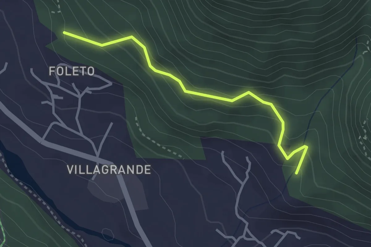
Easy · Trail
Foleto – Bersaglio
2.9 km · ↑ 253 m · 1 h 14 min · 1 km away
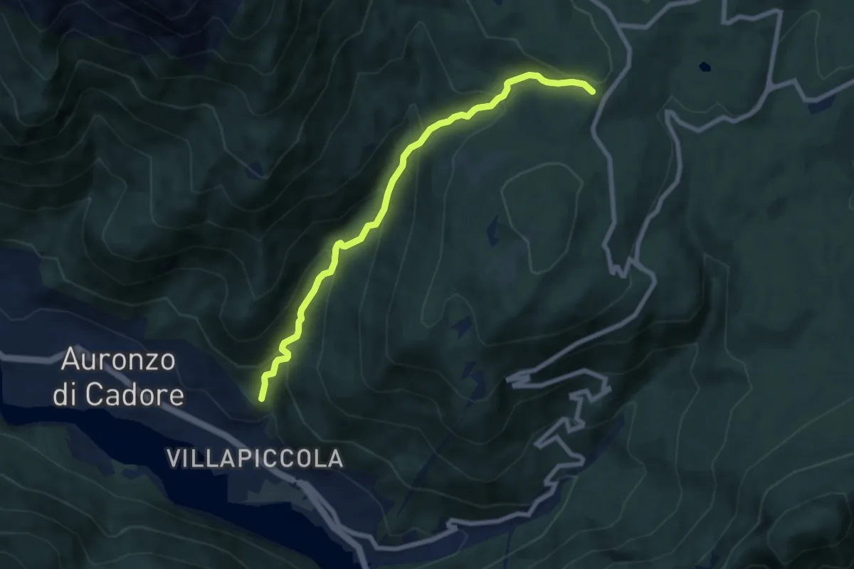
Medium · Trail
Alla Grotta – Rivalongia
6.8 km · ↑ 563 m · 2 h 50 min · 1 km away
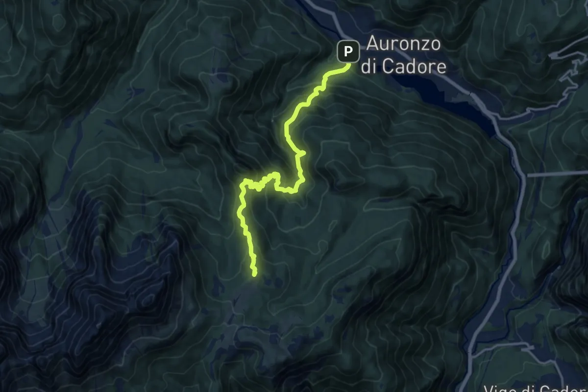
Demanding · Summit
Villagrande - Ponte Malon – Col dei Buoi - innesto sentiero 268
14.1 km · ↑ 1244 m · 6 h 2 min · 1 km away
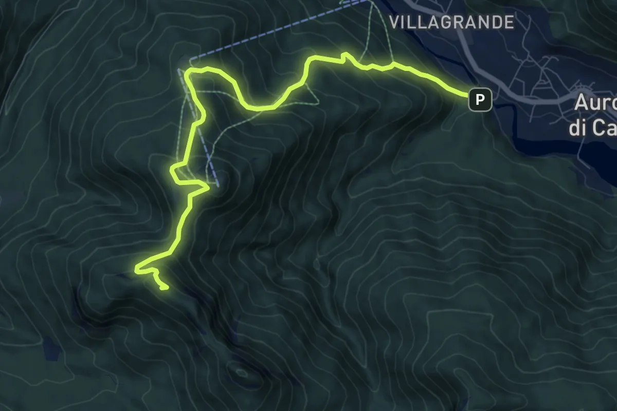
Demanding · Summit
Villagrande - Ponte Malon – Colle de la Mandria - innesto sentiero 1262
10.2 km · ↑ 883 m · 4 h 20 min · 1 km away
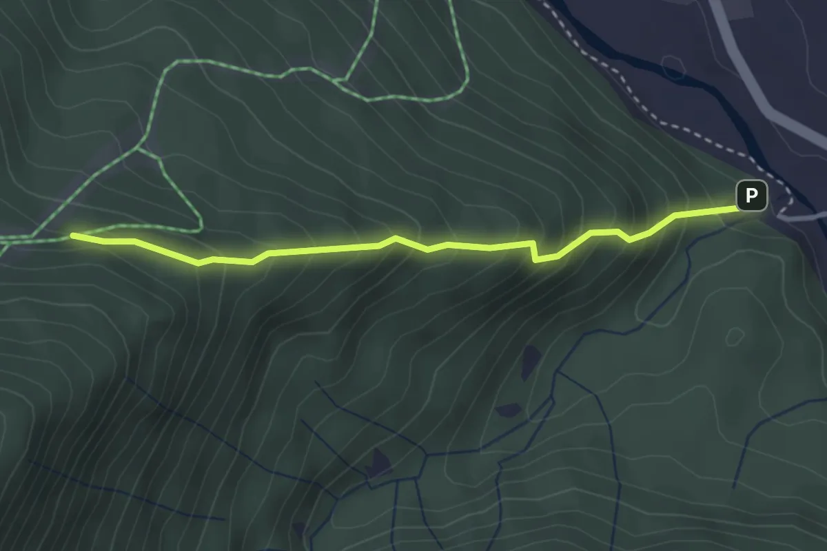
Medium · Trail
Costa Davanti
3.0 km · ↑ 349 m · 1 h 28 min · 1 km away
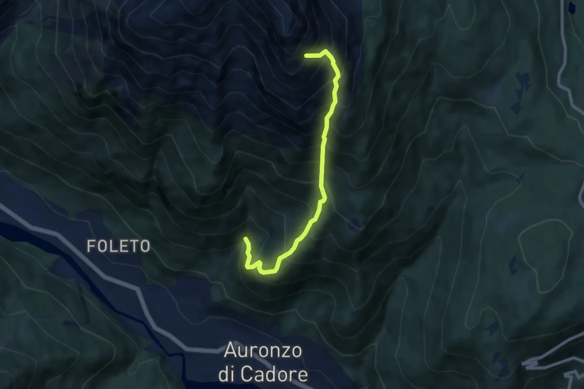
Demanding · Trail
Auronzo - I Tofe da sentiero 125 – Sotto pareti Monte Aiarnola – innesto sentiero 127
6.3 km · ↑ 1068 m · 3 h 48 min · 1 km away
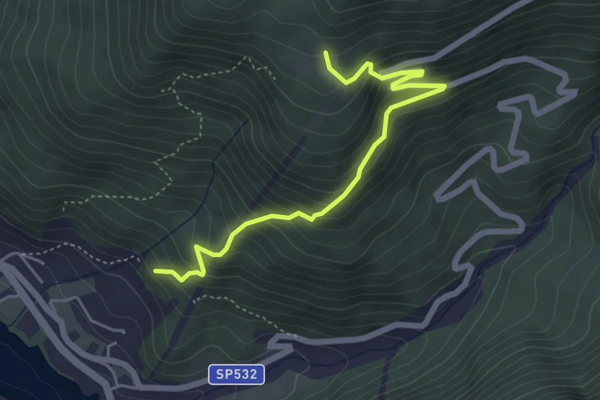
Medium · Trail
Giausiel – Tabià de Ronce
4.3 km · ↑ 434 m · 1 h 58 min · 2 km away
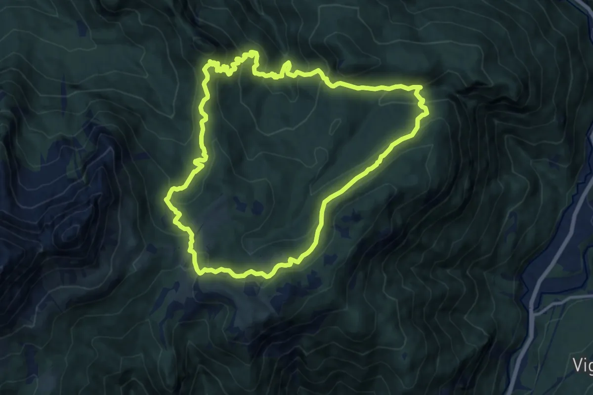
Medium · Trail
Anello dei Casoni
11.5 km · ↑ 741 m · 4 h 29 min · 2 km away
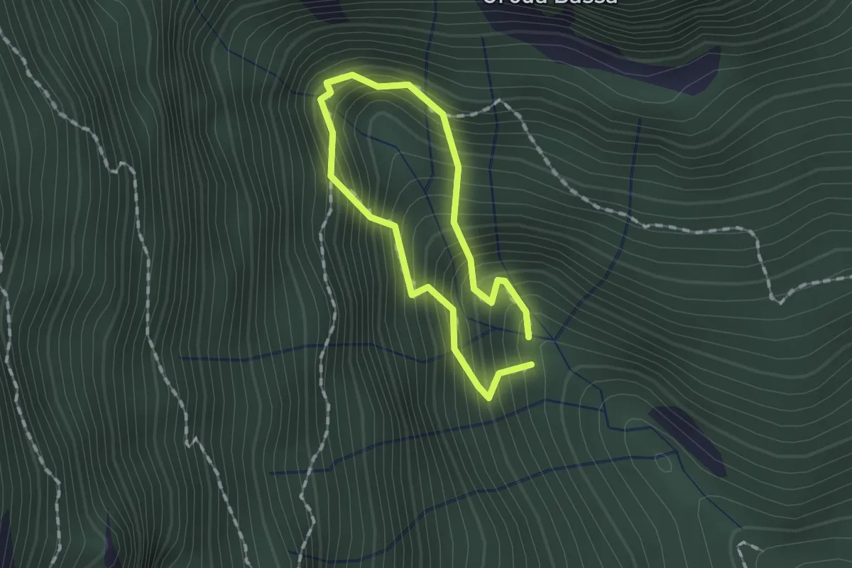
Demanding · Trail
Anello delle Sorgenti
1.0 km · ↑ 221 m · 44 min · 3 km away
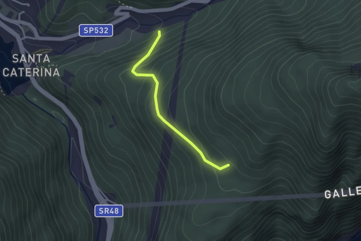
Easy · Trail
Pian de Namos – Torrente Diebba
2.3 km · ↑ 193 m · 58 min · 3 km away
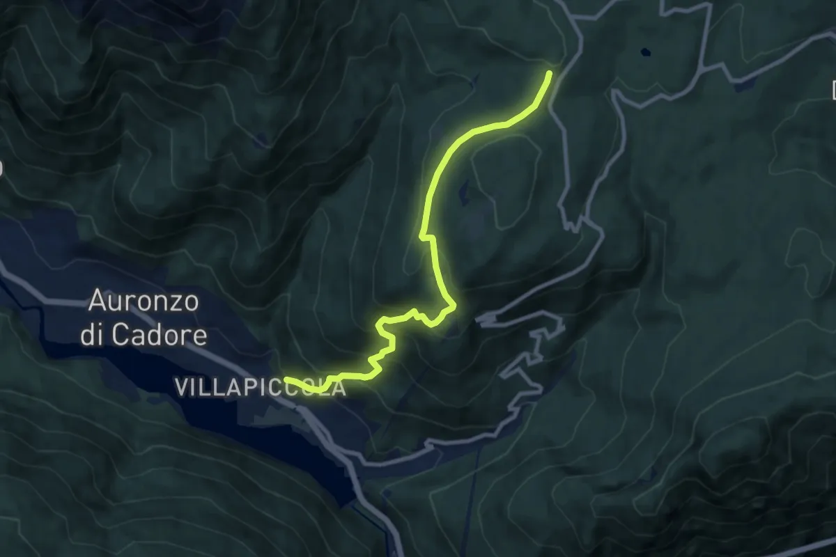
Medium · Trail
Villapiccola – Tabià de Ronce
8.4 km · ↑ 627 m · 3 h 21 min · 3 km away
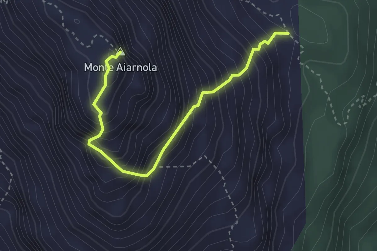
Expert · Summit
Selletta Val Pucera da sentiero 153 – Cima Aiarnola - Forcella Val da Rin
2.9 km · ↑ 543 m · 1 h 52 min · 3 km away
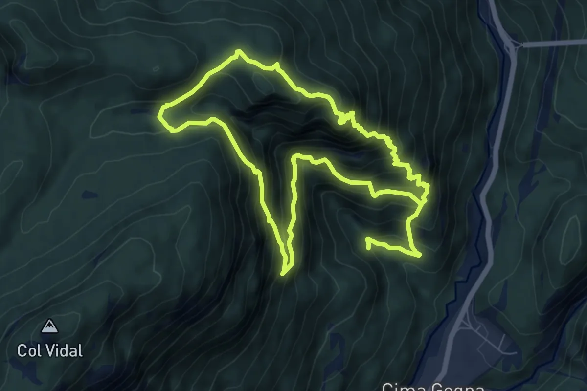
Medium · Summit
Anello di Ciampeviei
7.1 km · ↑ 794 m · 3 h 26 min · 3 km away
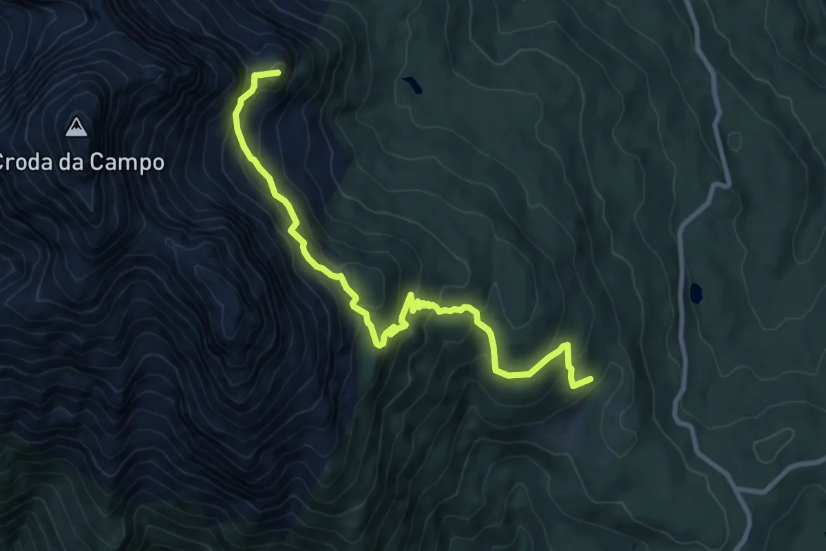
Medium · Summit
Passo S.Antonio - Pra de la Monte - da sentiero 164 – Vallon della Sappada - innesto sentieri 123 e 126
8.8 km · ↑ 677 m · 3 h 32 min · 4 km away
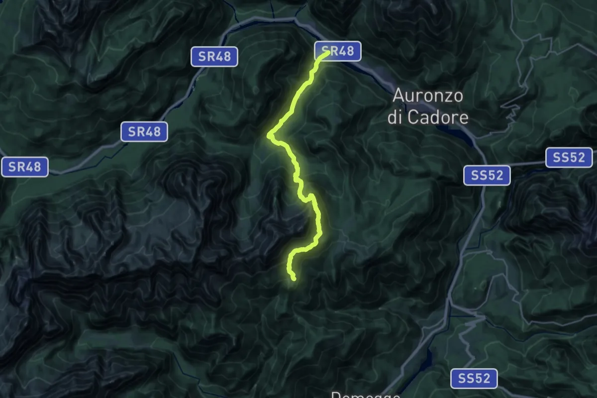
Demanding · Cabin
Alta via n. 5 delle Dolomiti - III Tappa
10.9 km · ↑ 1275 m · 5 h 2 min · 4 km away
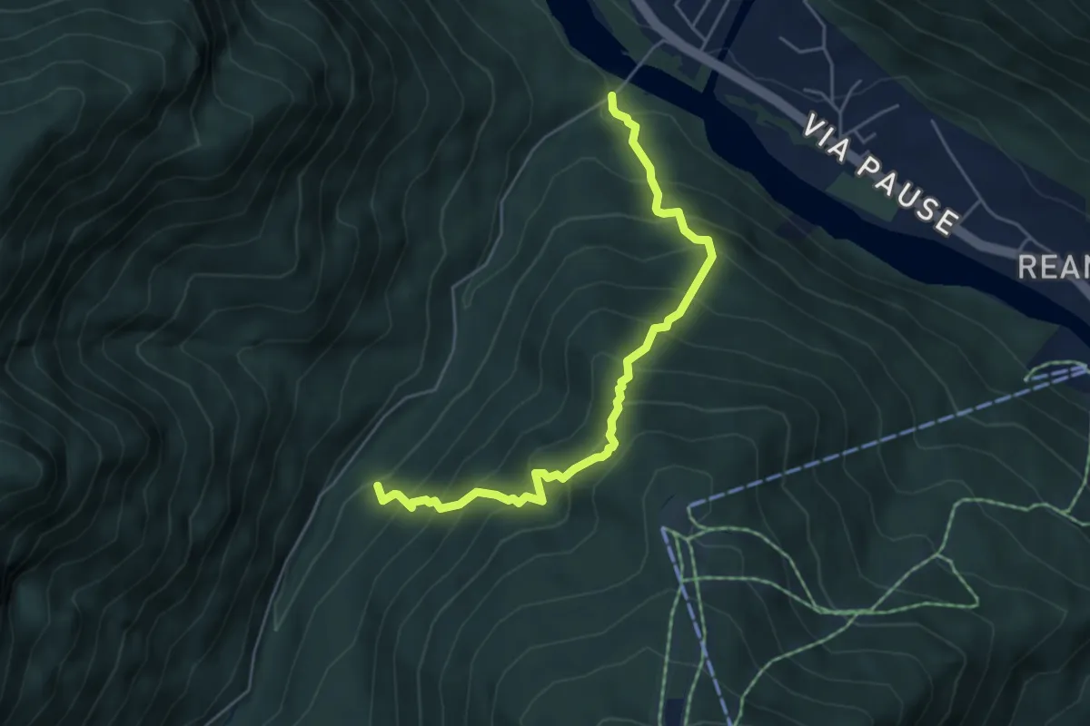
Medium · Trail
Ponte da Rin – Guado Pre Ciaurìn
5.1 km · ↑ 656 m · 2 h 38 min · 4 km away
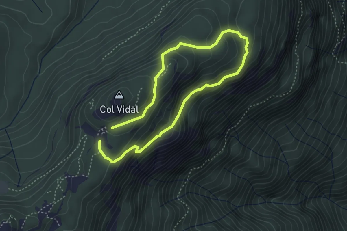
Medium · Summit
Anello dei Forti
3.0 km · ↑ 143 m · 1 h 4 min · 4 km away
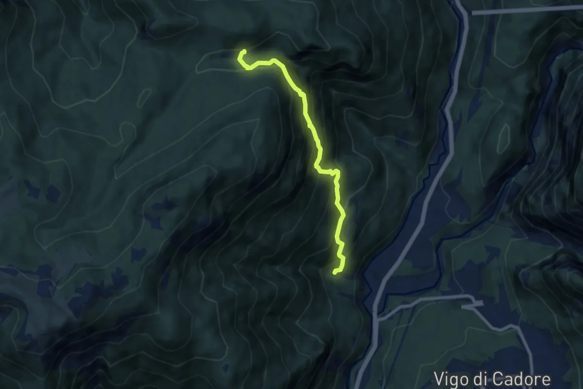
Medium · Trail
la Poiata (da strada Cornon-Faé) – Casone di Campiviei
6.3 km · ↑ 681 m · 2 h 58 min · 5 km away
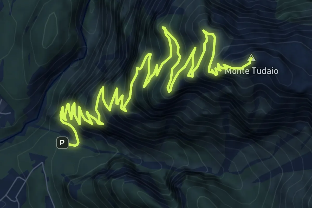
Demanding · Summit
Itinerario storico del Monte Tudaio
15.4 km · ↑ 1674 m · 7 h 16 min · 5 km away
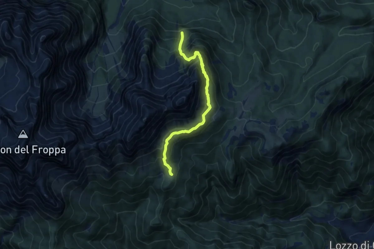
Demanding · Cabin
Pomadòna - da sentiero 273 – Rifugio Baion
9.7 km · ↑ 955 m · 4 h 22 min · 5 km away
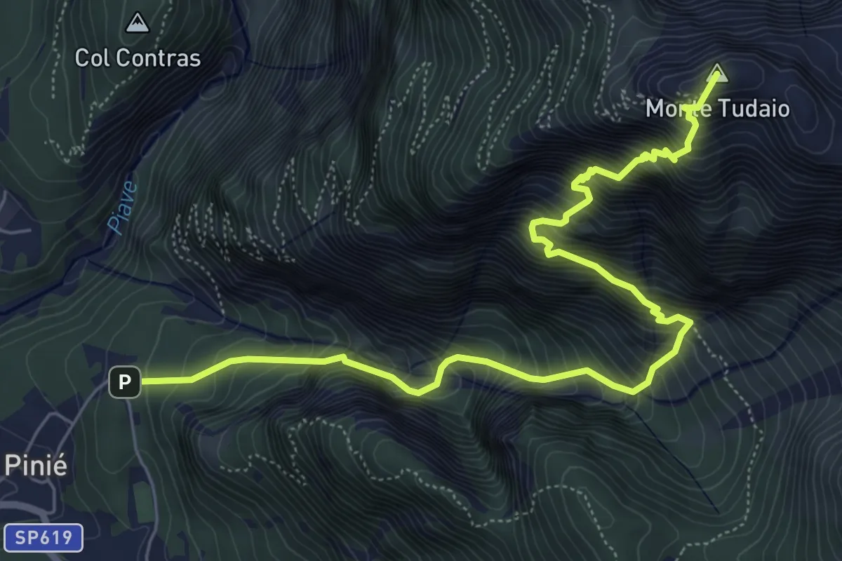
Demanding · Summit
Sentiero attrezzato dei Mède
7.5 km · ↑ 1326 m · 4 h 39 min · 5 km away
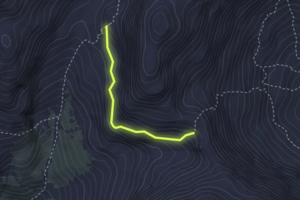
Expert · Trail
Ferrata Mazzetta
2.2 km · ↑ 307 m · 1 h 11 min · 5 km away
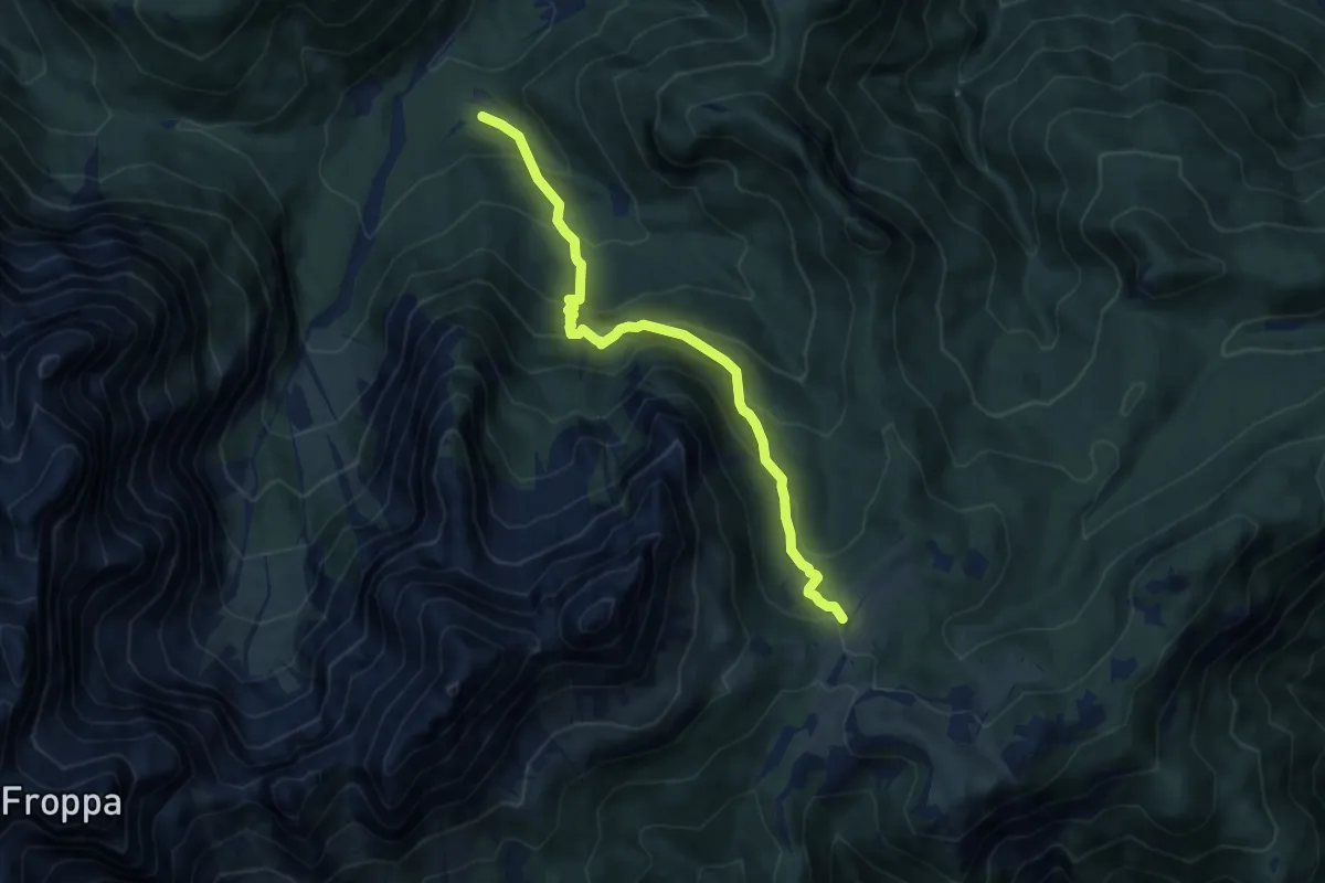
Medium · Trail
Tabià da Rin – Pian dei Buoi - innesto sentiero 268
8.9 km · ↑ 768 m · 3 h 47 min · 5 km away
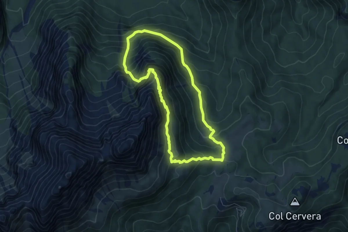
Demanding · Trail
Anello del Paradiso
6.3 km · ↑ 608 m · 2 h 54 min · 5 km away
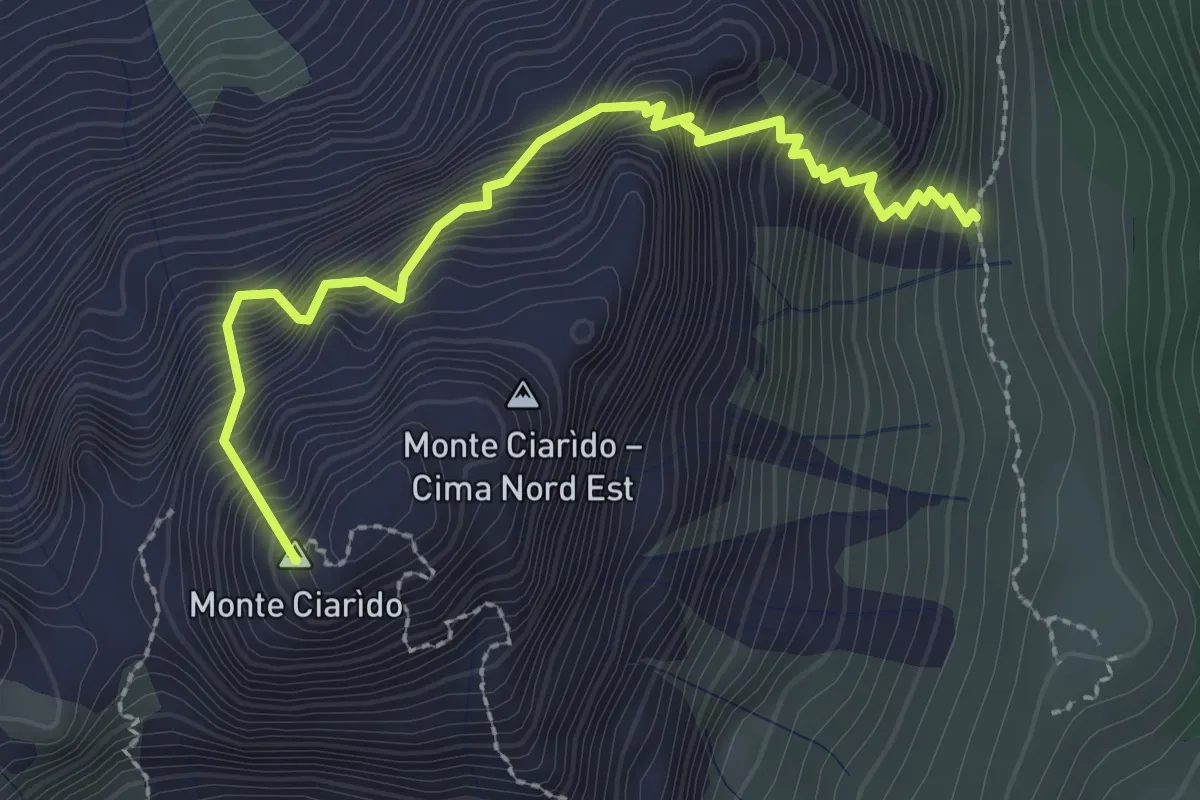
Medium · Summit
Sentiero attrezzato Amalio Da Pra
2.8 km · ↑ 671 m · 2 h 7 min · 5 km away
Medium · Trail
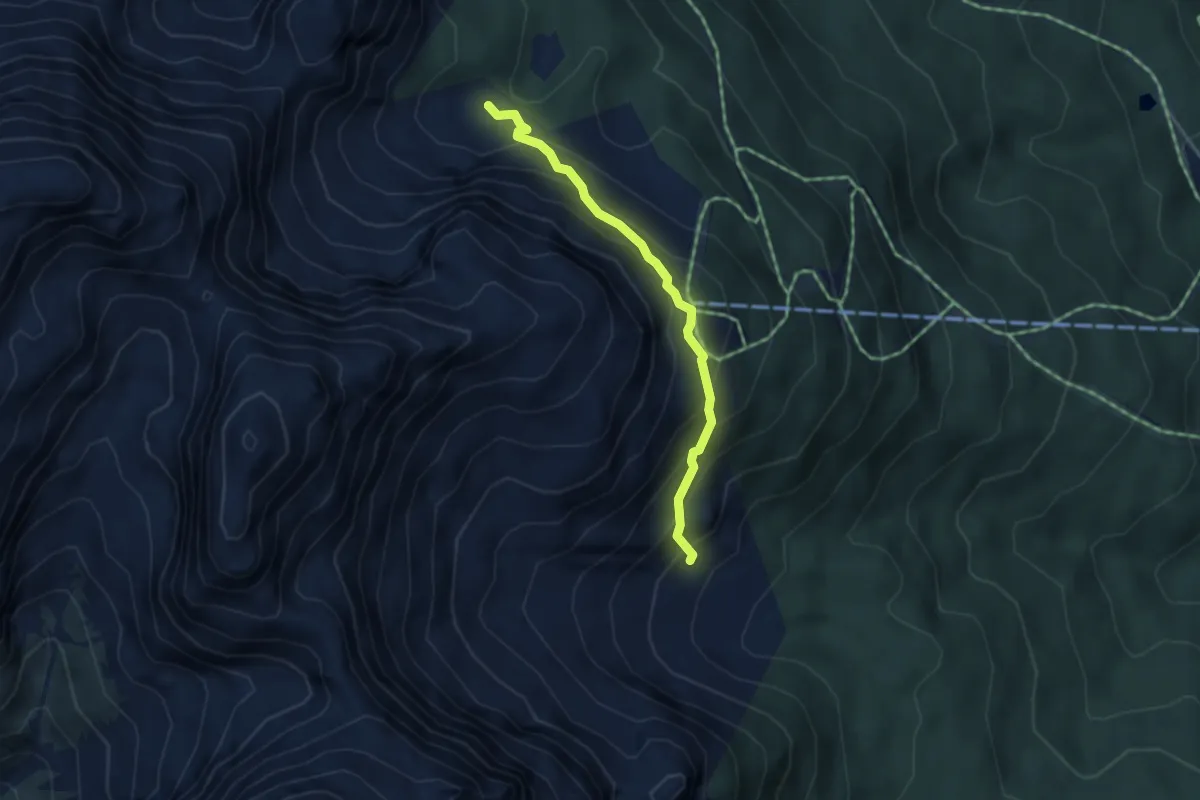
Giau Giauzel - da sent. 152 – Buda dal Pintar - inn. sent. 126
3.6 km · ↑ 347 m · 1 h 37 min · 5 km away
Medium · Summit
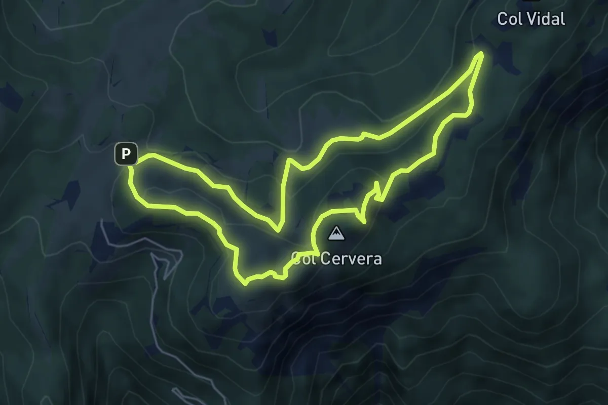
Anello dei Colli
5.2 km · ↑ 237 m · 1 h 49 min · 5 km away
Demanding · Trail
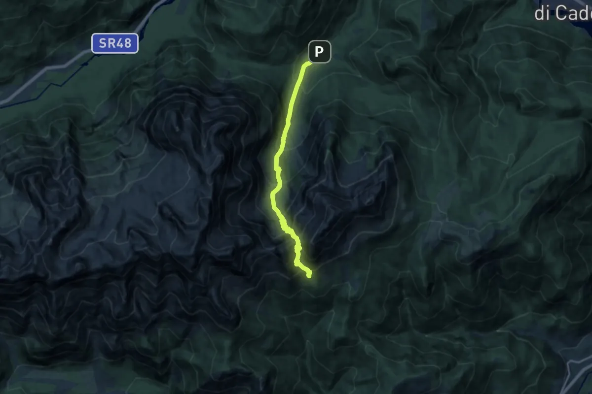
Alta Val da Rin - da bivio/guado per Tabià da Rin – Sotto Forcella Baion (versante sud) - innesto su sentiero 262
12.4 km · ↑ 1444 m · 6 h 4 min · 5 km away
Medium · Trail
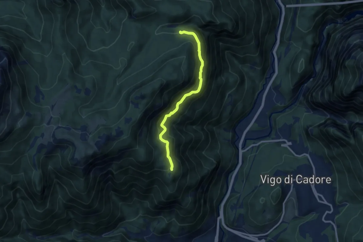
Via dei Silenzi
7.6 km · ↑ 581 m · 3 h 4 min · 5 km away
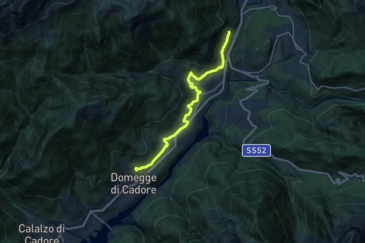
Medium · Trail
Traversata del Centro Cadore
14.0 km · ↑ 589 m · 4 h 35 min · 6 km away
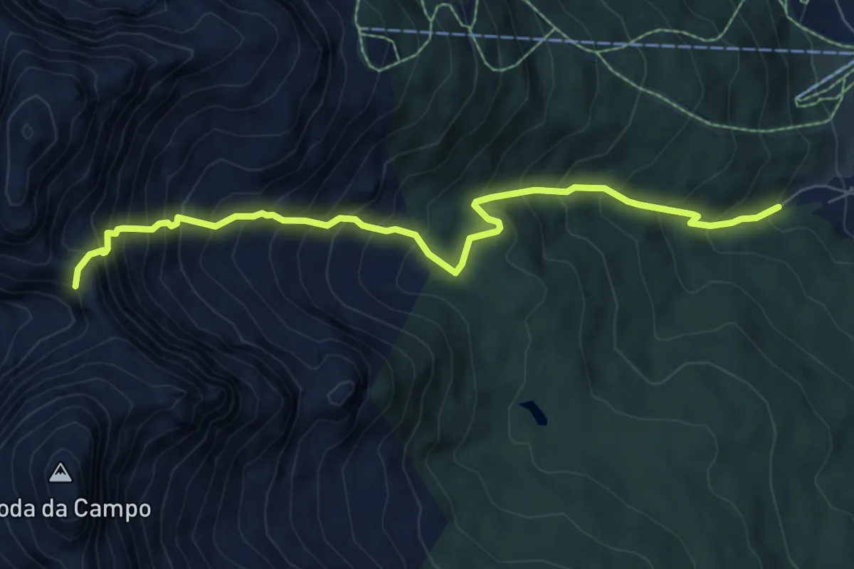
Expert · Trail
Padola - Acque rosse – Forcella di Tacco
7.4 km · ↑ 989 m · 3 h 53 min · 6 km away
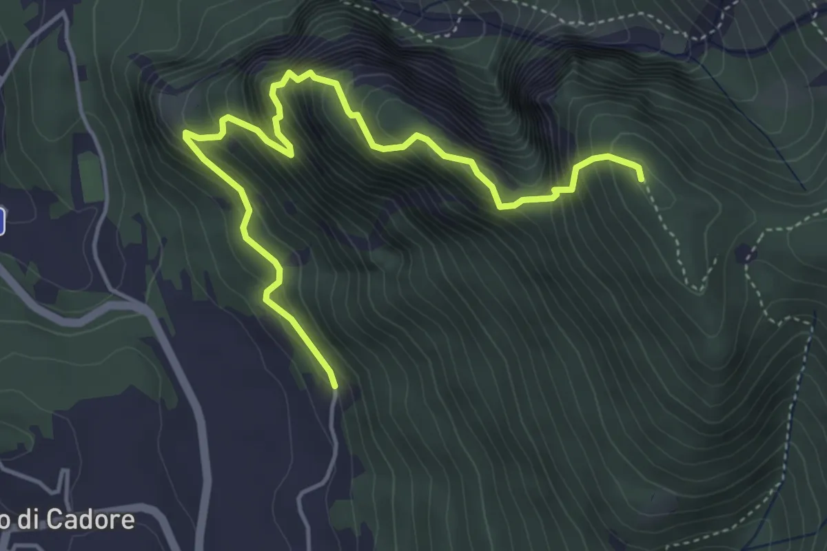
Demanding · Summit
nord di Laggio di Cadore, inizio strada sterrata per Col Ciampon – Laggio, da strada sterrata proveniente da Adies
5.1 km · ↑ 708 m · 2 h 44 min · 6 km away
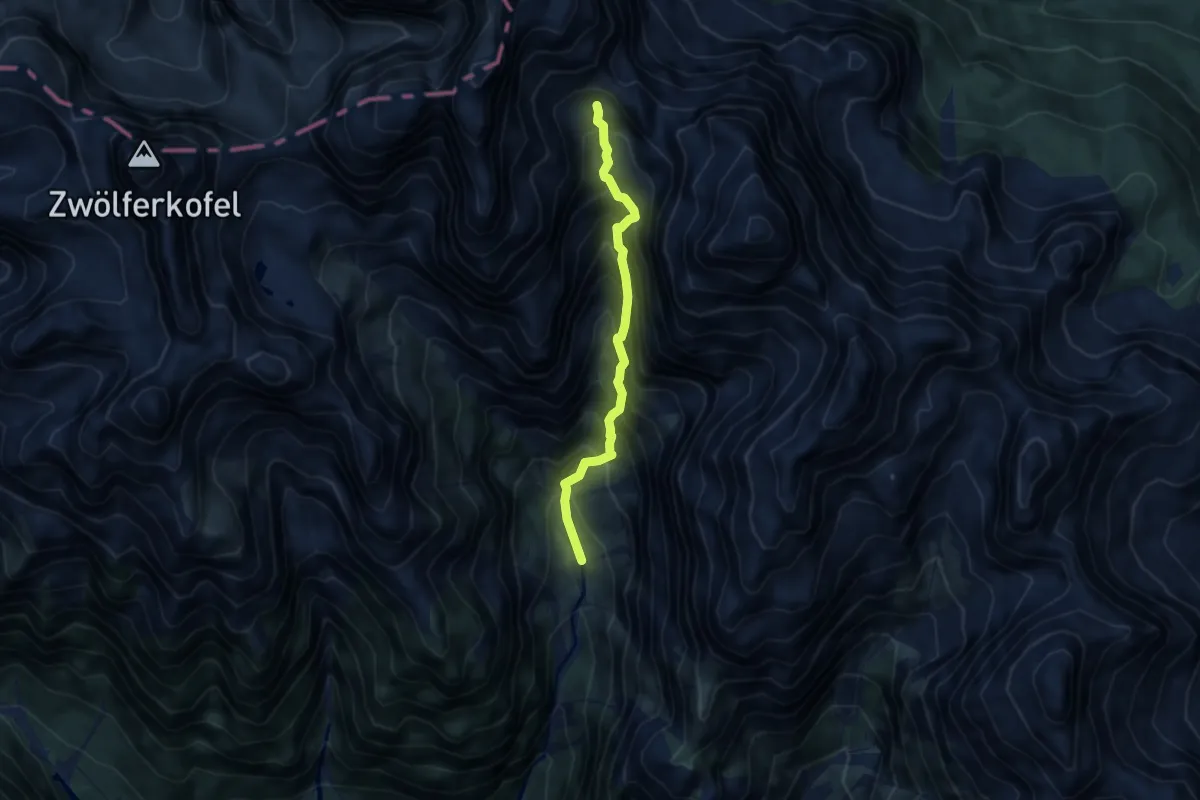
Expert · Trail
Pian de le Salere – Cadin di Stallata - innesto sentiero 110 (Cengia Gabriella) e Ferrata Roghel
6.8 km · ↑ 1211 m · 4 h 13 min · 6 km away
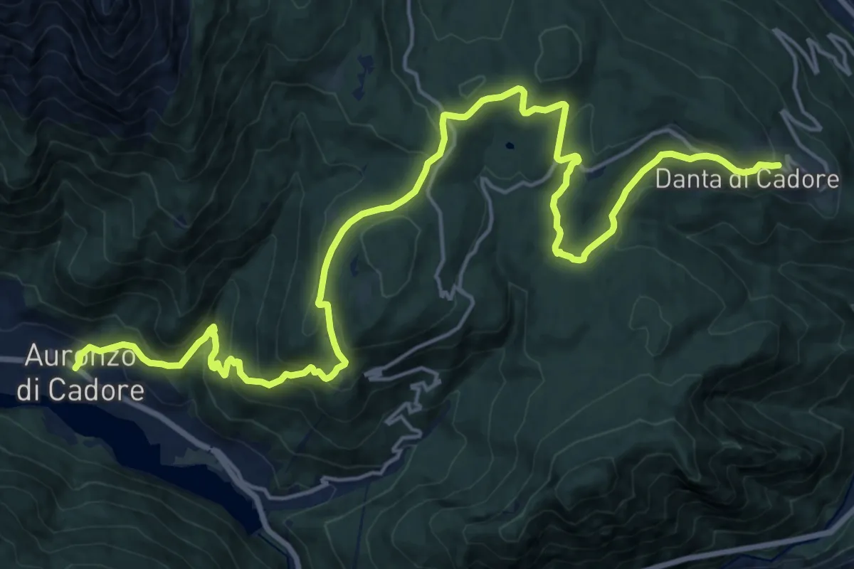
Demanding · Trail
Dolomites World Heritage Geotrail 19
23.3 km · ↑ 1042 m · 7 h 45 min · 6 km away
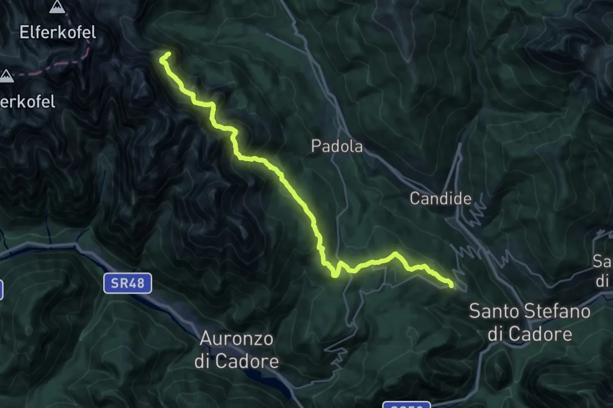
Demanding · Summit
Dolomites World Heritage Geotrail 18
27.2 km · ↑ 1788 m · 10 h 17 min · 6 km away
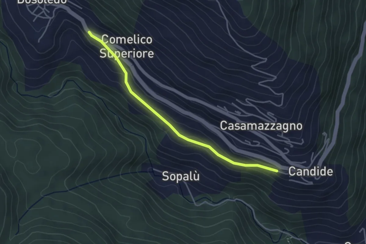
Easy · Trail
Troi dli Tradiziòns
3.4 km · ↑ 94 m · 1 h 1 min · 7 km away
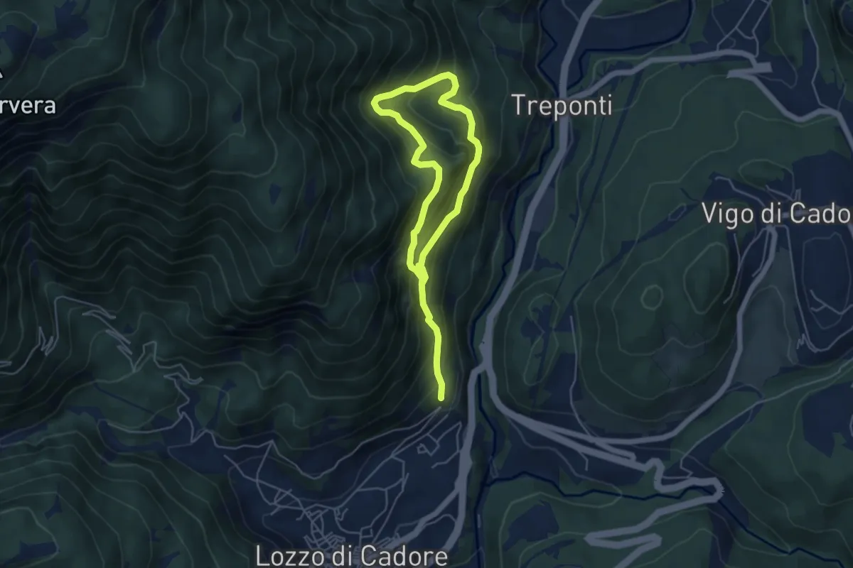
Medium · Trail
Anello del Troi de le Ciaure
3.6 km · ↑ 484 m · 1 h 54 min · 7 km away
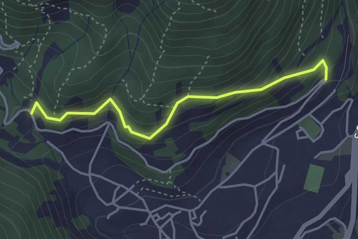
Easy · Trail
Sentiero Botanico Tita Poa
3.1 km · ↑ 267 m · 1 h 18 min · 7 km away
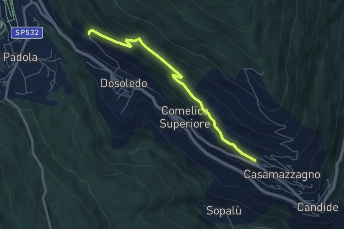
Easy · Trail
Troi di Bacàni
5.0 km · ↑ 260 m · 1 h 45 min · 7 km away
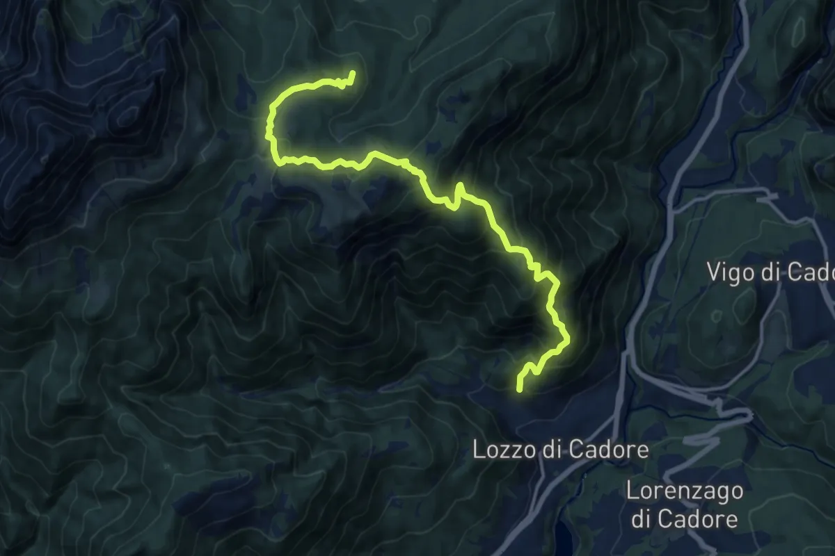
Demanding · Summit
Bivio di Val, a nord di San Rocco e della omonima chiesetta – Auronzo lago, nei pressi del coronamento della diga di S. Caterina
14.5 km · ↑ 1171 m · 5 h 58 min · 7 km away
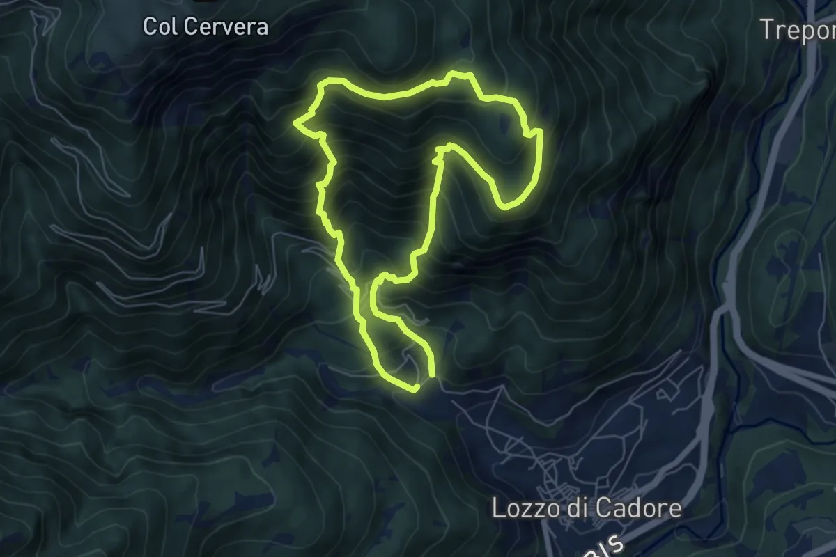
Medium · Summit
Anello dei Faggi
5.8 km · ↑ 687 m · 2 h 56 min · 7 km away